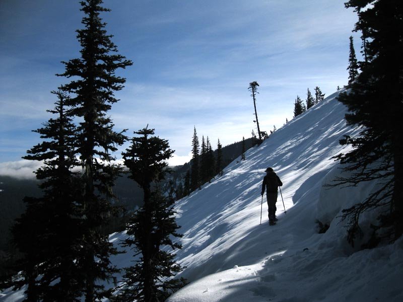
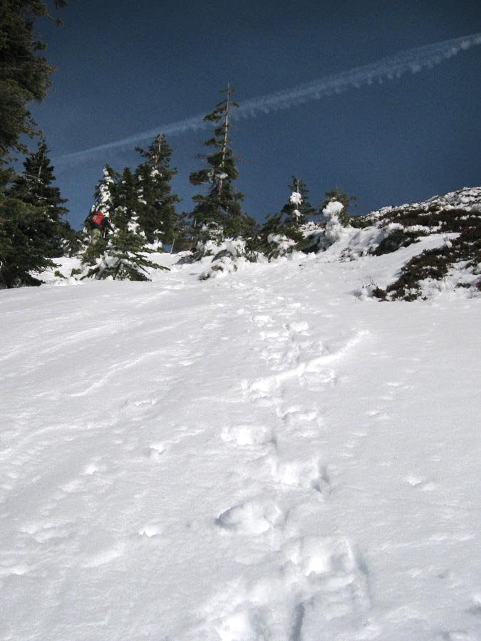
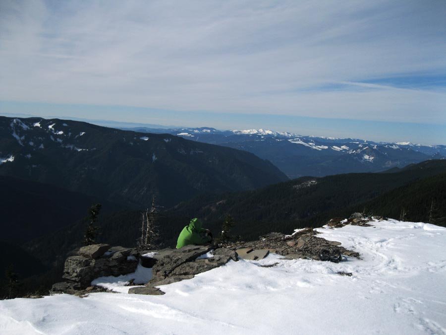
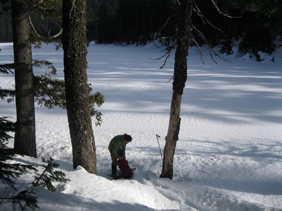
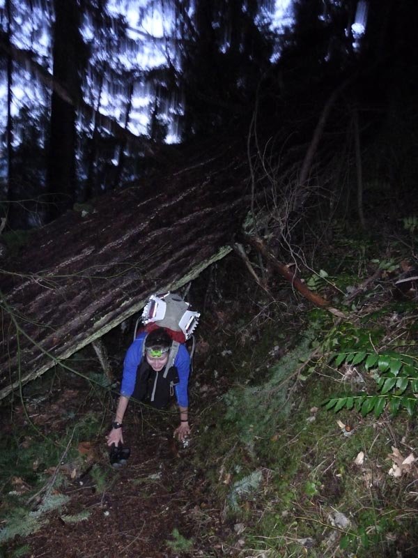
November 30, 2013 5 miles 3,000 feet gained
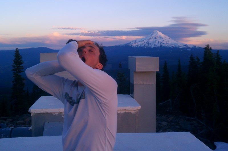
Bosterson
Email updates
Subscribe to Bosterson's hikes
Hikes by Bosterson in 2013
November 28, 2013 5 miles 2,000 feet gained
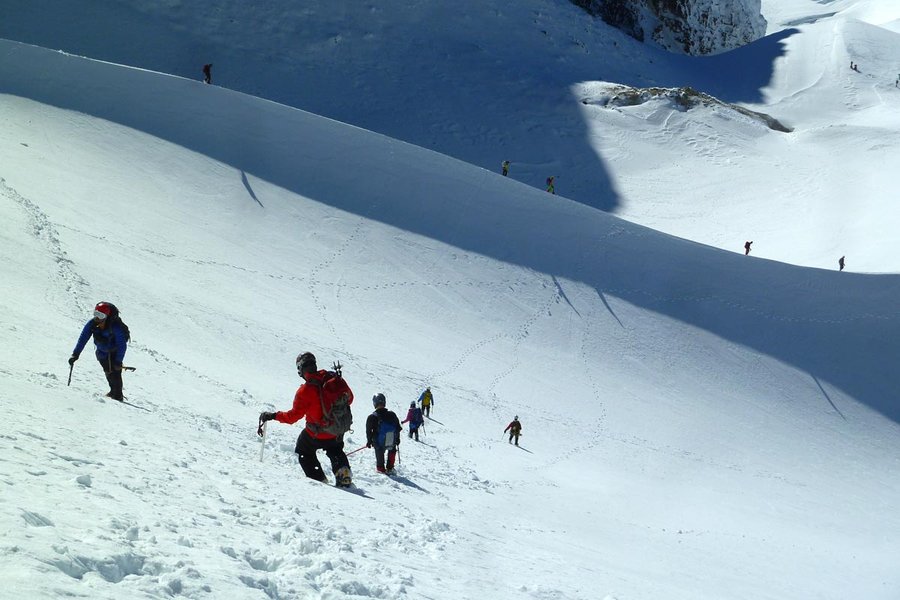
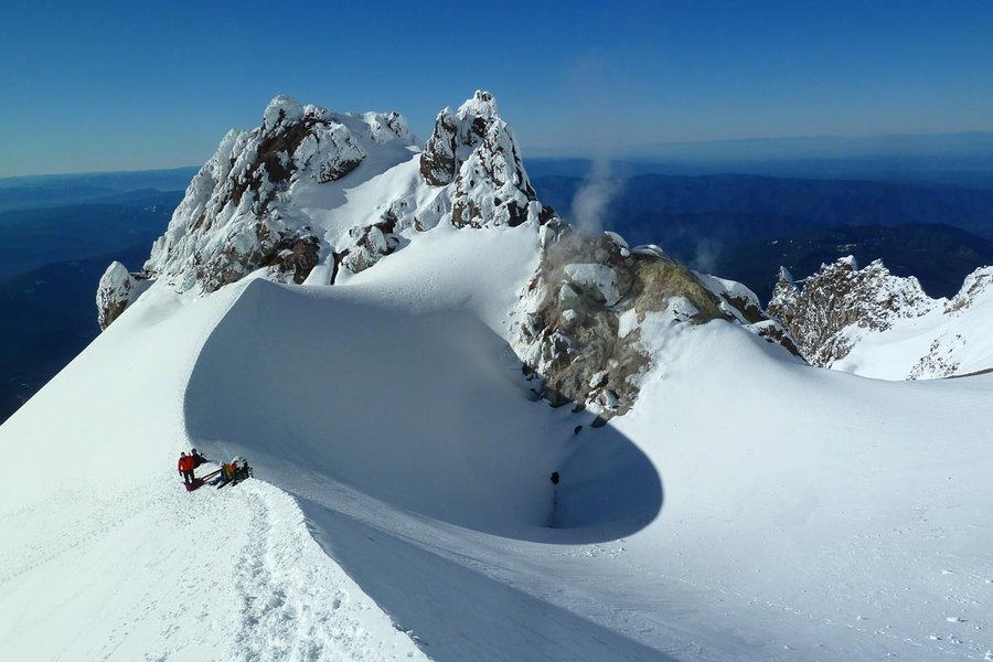
November 24, 2013 Mount Hood 7 miles 5,250 feet gained
Despite leaving the country tomorrow, the weather was too good to pass up.
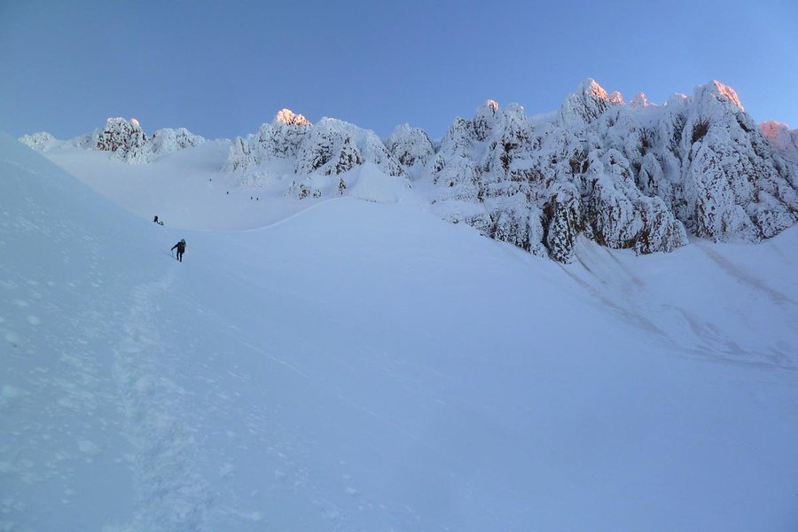
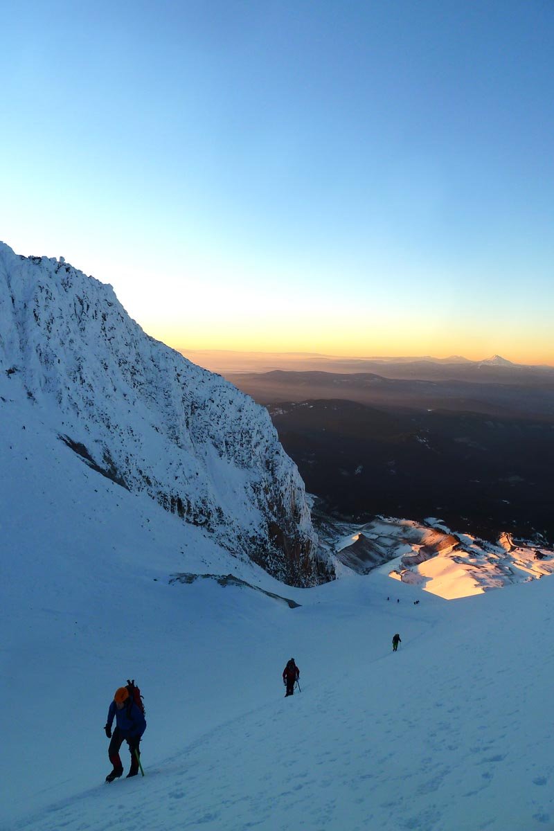
November 2, 2013 North Lake 17.5 miles 5,500 feet gained
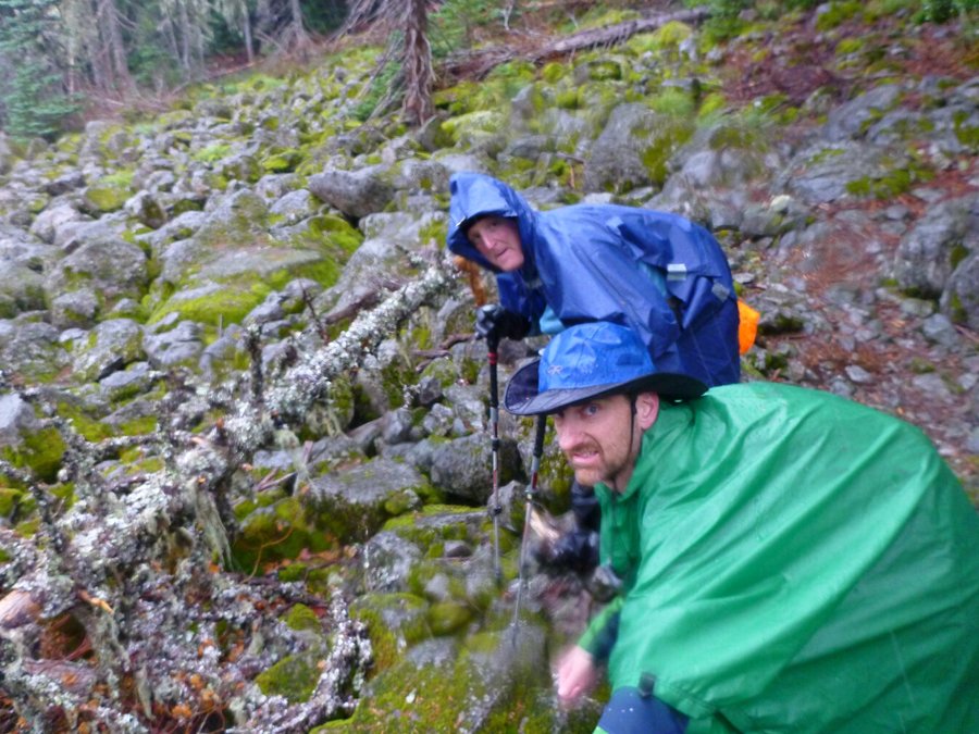
Rain, snow, wind, thunder and lightning.
October 19, 2013 Yocum Ridge 18.5 miles 4,250 feet gained
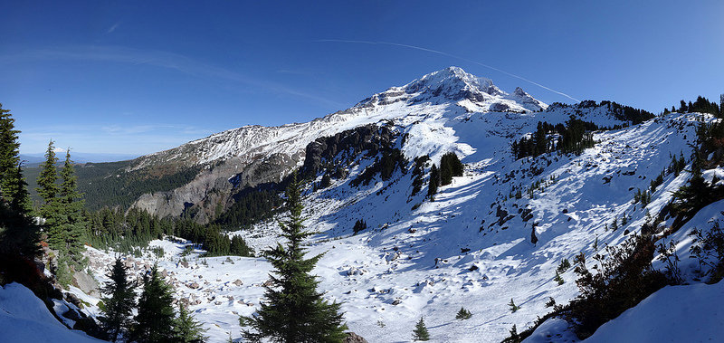
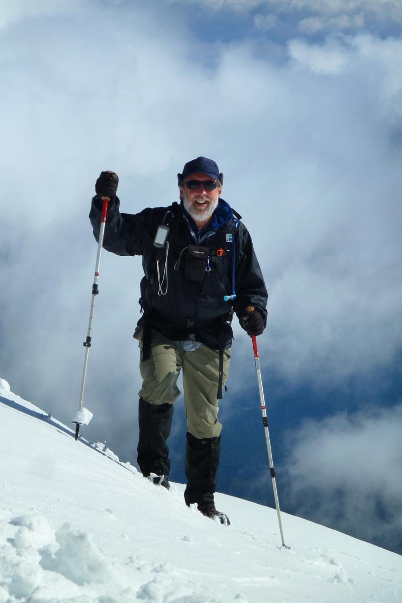
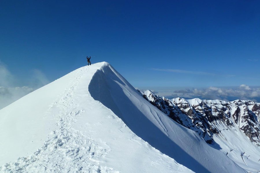
October 13, 2013 Mount Saint Helens 9 miles 4,500 feet gained
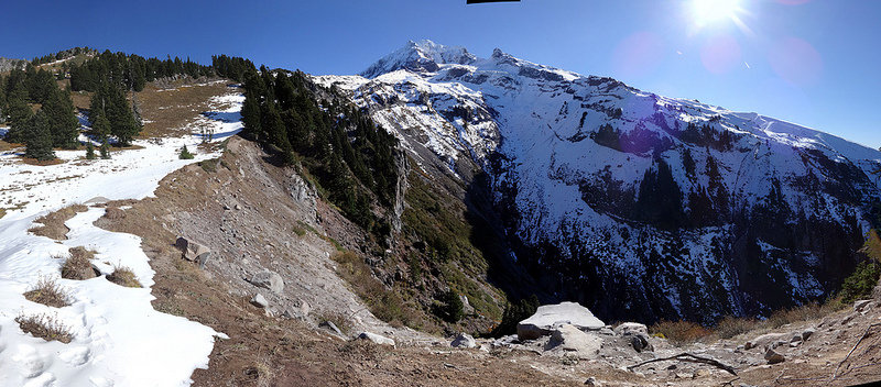
Did a little protest climb while the gov't is shuttered. Light snow, not much ice.
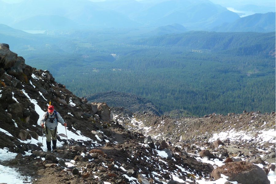
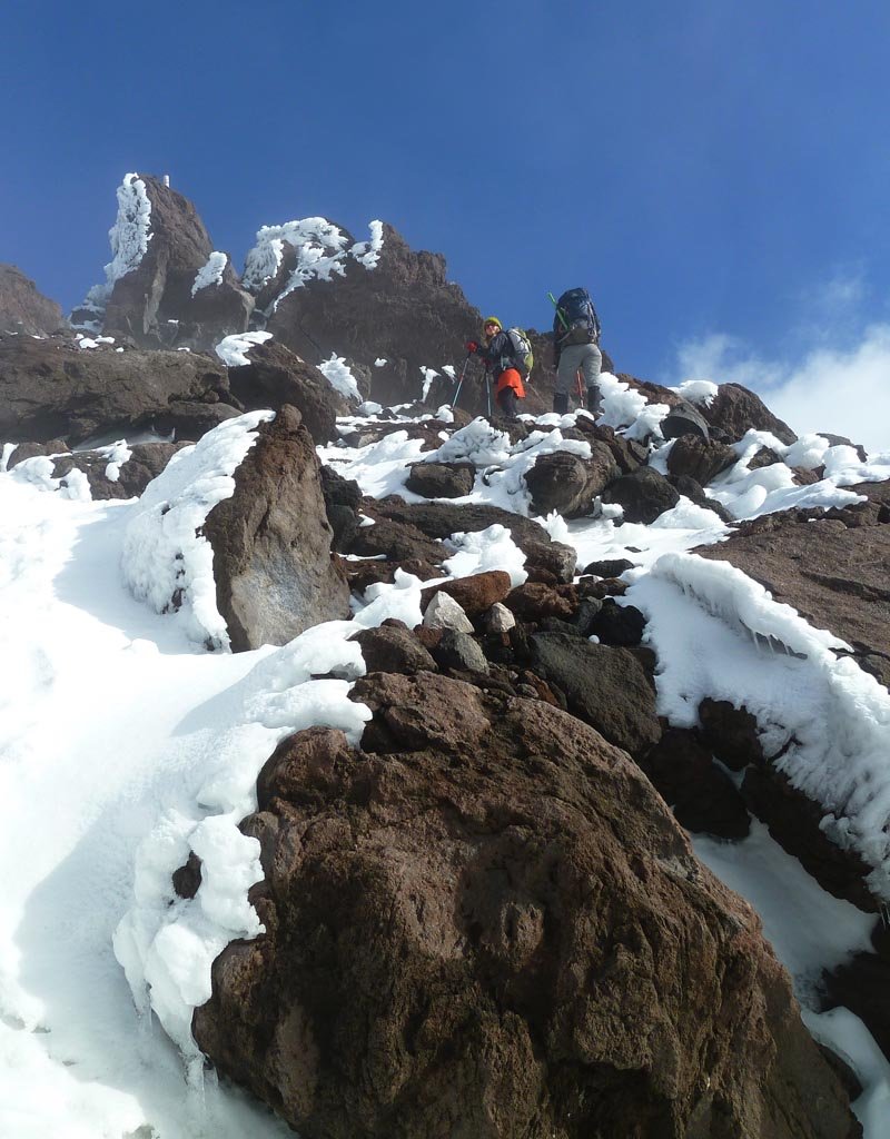
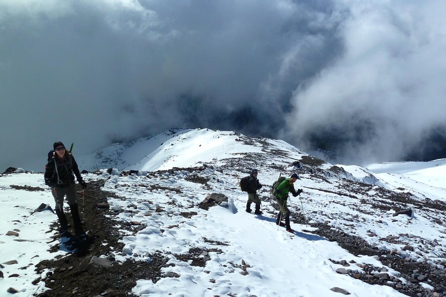
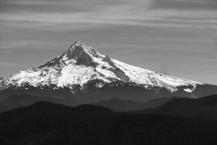
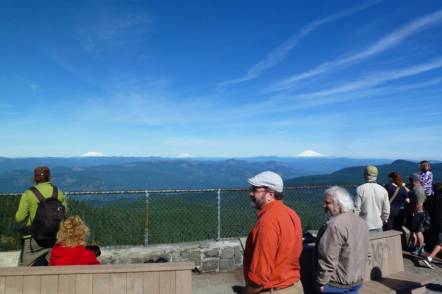
October 5, 2013 Sherrard Point 14.5 miles 4,000 feet gained
Quickie trip. Bit of running up and down. 3.5 hrs round trip. Beautiful day, very crowded - even though it's fall, you forget the road is still open.
September 21, 2013 Ridge Cut-Off 10 miles 3,000 feet gained
From Herman Creek TH to Indian Point via the 3rd gully. Decided to come back early rather than keep going with limited time, and in doing so, just missed the rain.
September 8, 2013 Mount Whittier 22 miles 5,500 feet gained
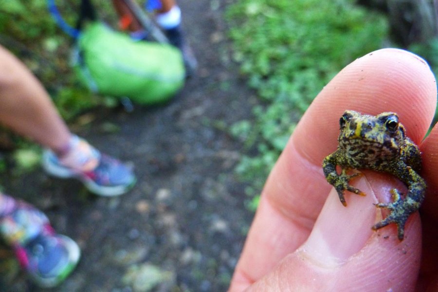
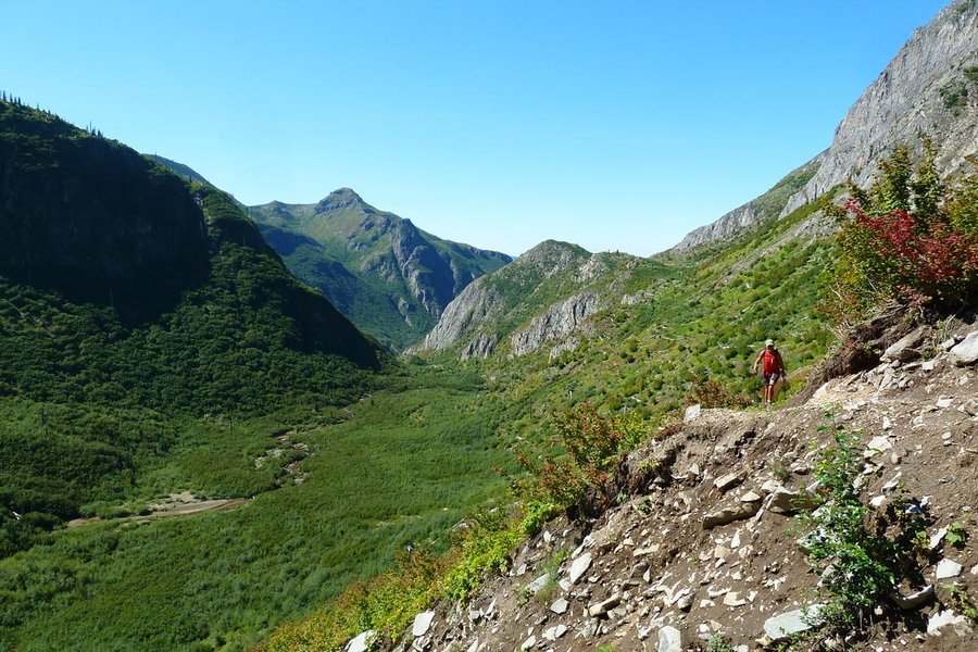
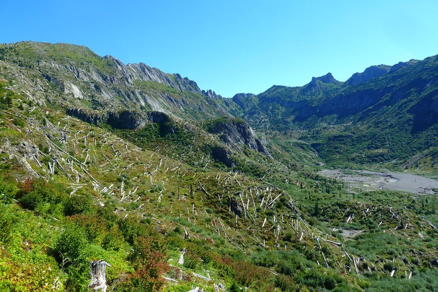
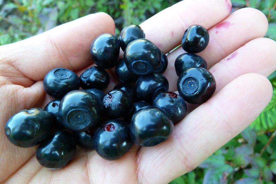
Long Whittier loop starting at S. Coldwater TH, up the ridge and then down the Lakes Trail and up Coldwater Canyon, across Whittier and then back down the Boundary Trail past Mt. Margaret and Coldwater Peak to complete the loop. Spectacular weather, plenty of wildlife (frogs, elk, goats, ladybugs, snakes), huckleberries are peaking, great views, excellent ru...

August 31, 2013 Siouxon 18 miles 3,250 feet gained
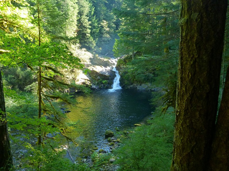
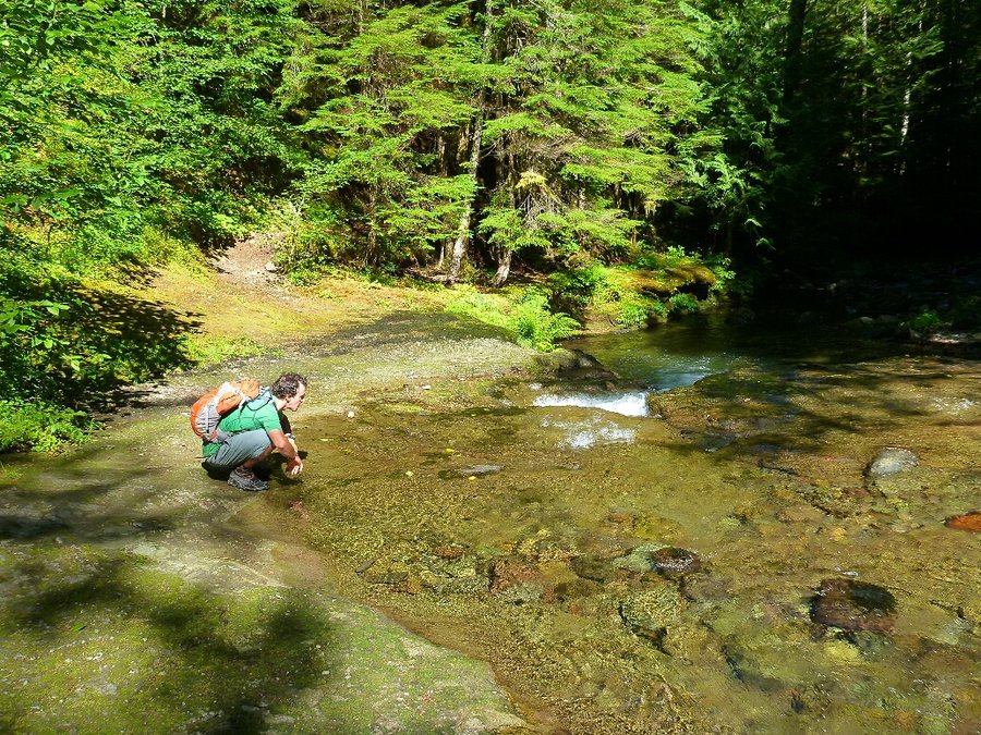
August 24 to August 26, 2013 Matterhorn 22 miles 7,000 feet gained 2 nights
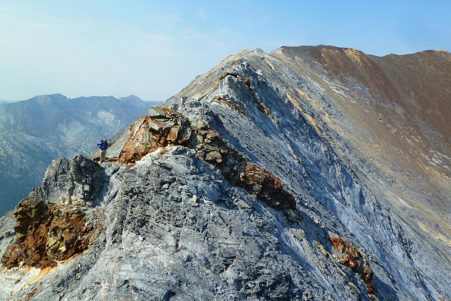
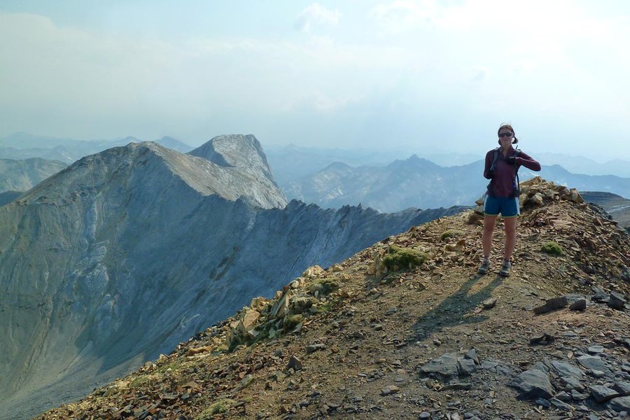
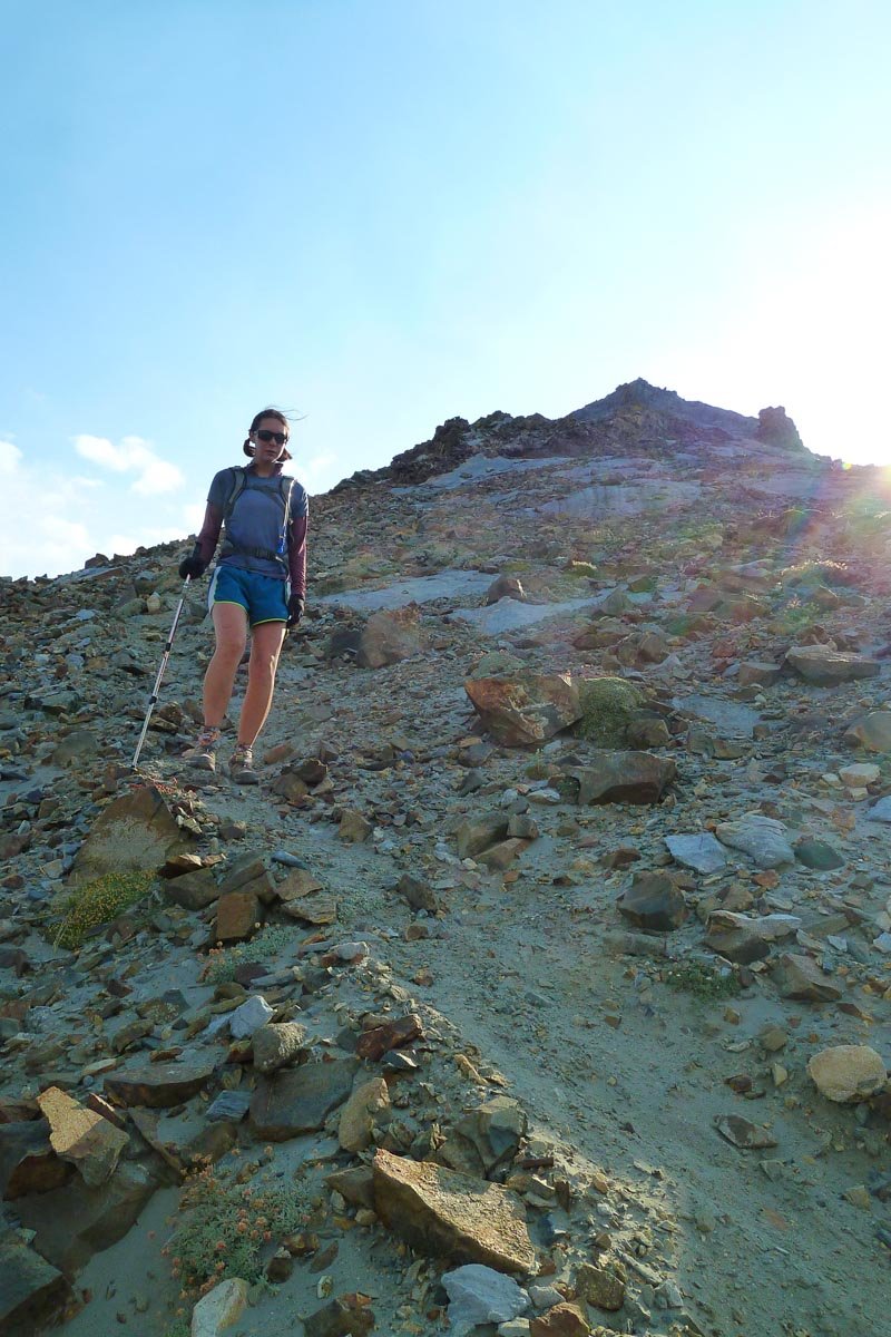
Elsie and I left after work Friday and made the six hour drive out to Enterprise. After a leisurely breakfast and Stumptown coffee at Arrowhead Chocolates in Joseph, we started up the West Fork Wallowa River trail, across the brand new bridge, and up to Ice Lake. It was pretty hazy, so we swam and lazed around and walked around the lake. The next day we went...
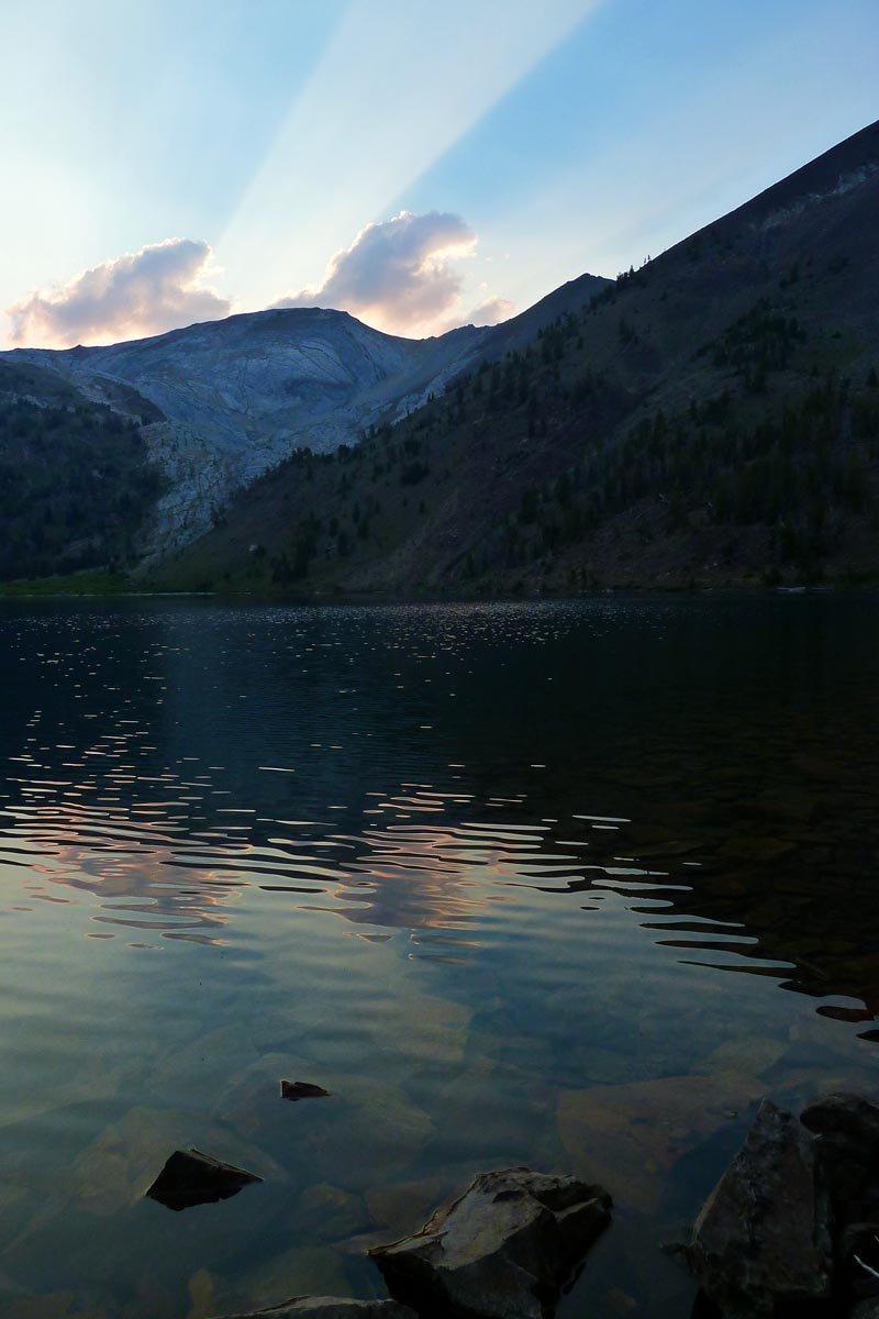
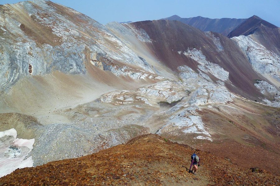
August 17 to August 19, 2013 Iron Cap Mountain 26 miles 9,000 feet gained 2 nights
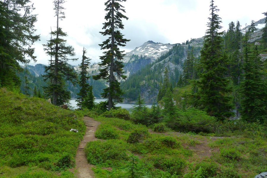
We left Portland at dinnertime Friday and drove the 4+ hrs up to the Necklace Valley TH, southeast of Skykomish on Hwy 2. We bivied in the parking lot behind the car, and then set out Saturday morning down the remaining few miles of road to the West Fork Foss trailhead. Luckily another backpacker drove by fairly soon and gave us a lift, sparing us most of th...
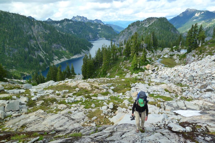
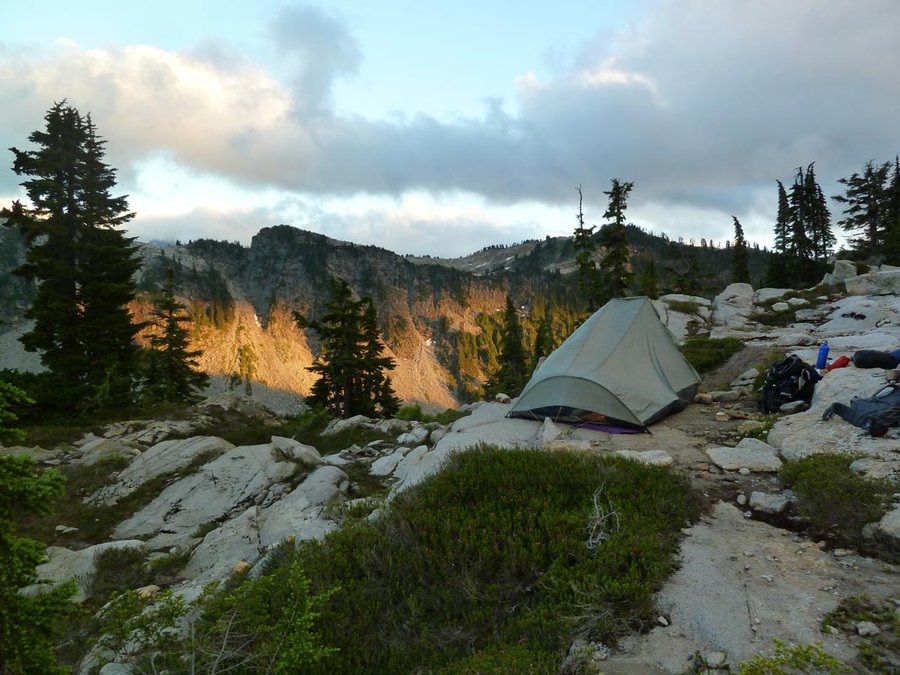
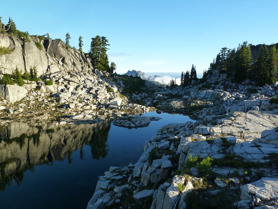
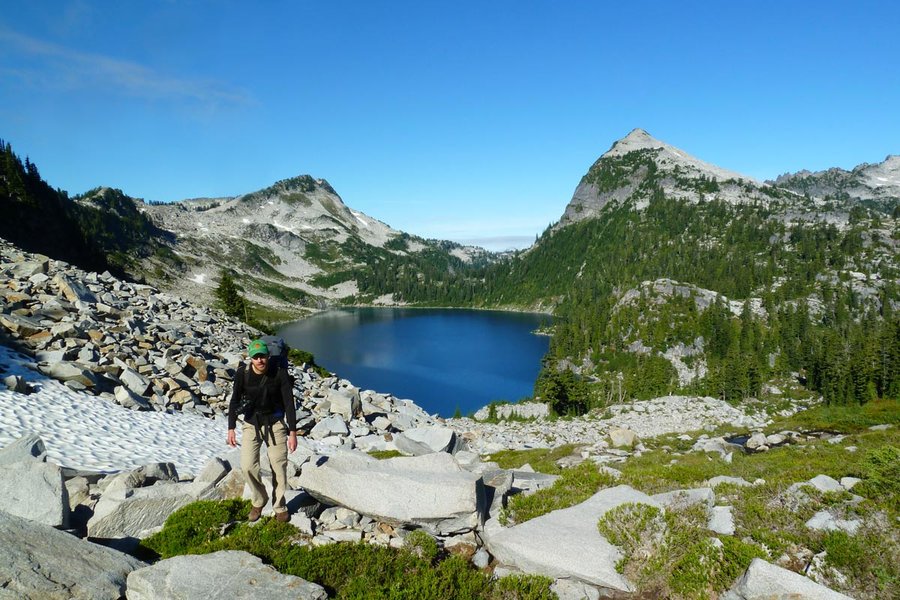
August 3, 2013 Mount Whittier 14 miles 4,000 feet gained
Alpine start from Portland - arrived at the Norway Pass trailhead around 7am. Up around to the lakes basin, then up and across Whittier ridge and back down. Bizarre mix of people out there, from the group of backpacking girls who took 6 hrs to get from the parking lot to the first Mt. Margaret campsites (around 3-4 mi) and chided me about my cat hole trowel,...
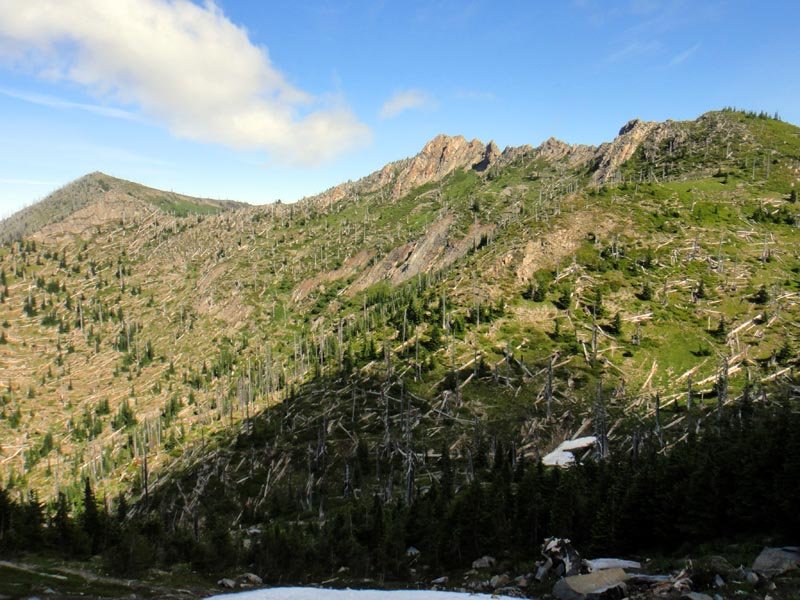
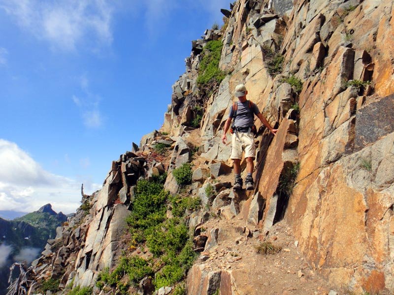
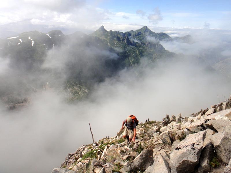
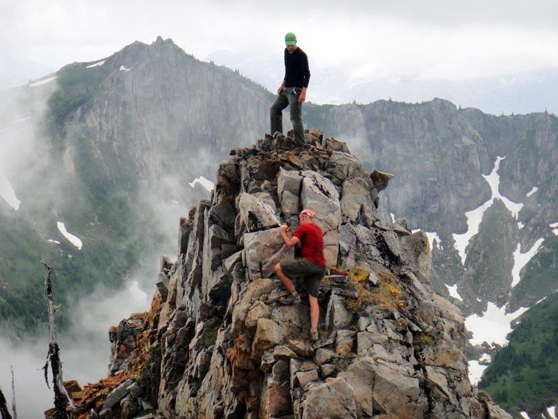
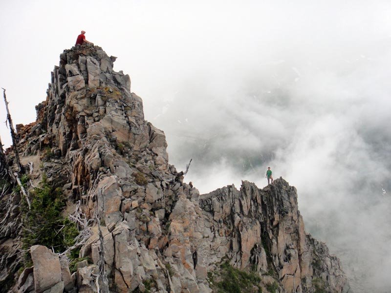
July 21, 2013 Jumbo Peak 17 miles 6,000 feet gained
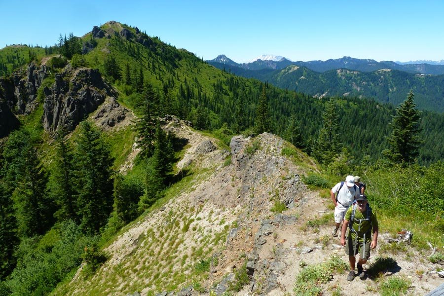
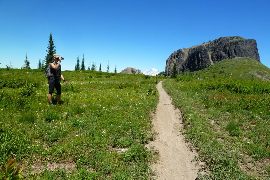
Drove out Saturday afternoon and camped on FS23 near the Dark Meadows trailhead. Lots of nice sitting rocks and a creek to chill the beer. Got up early Sunday and headed up the Dark Meadows trail to the meadow. We were going to head off trail to the top of Dark Mountain, but it looked really brushy and we decided to skip it. Instead, we followed the trail up...
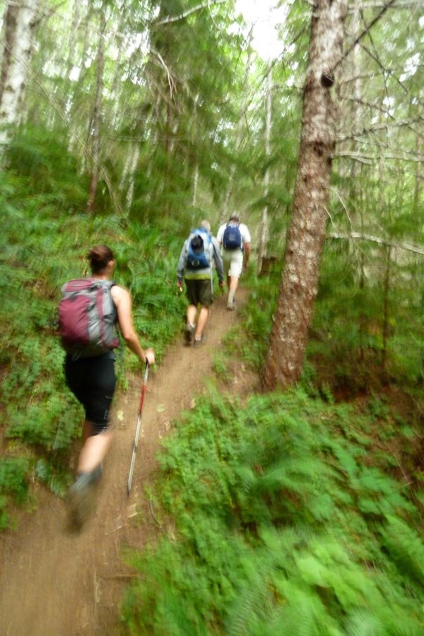
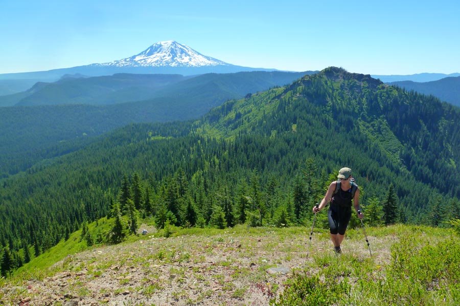
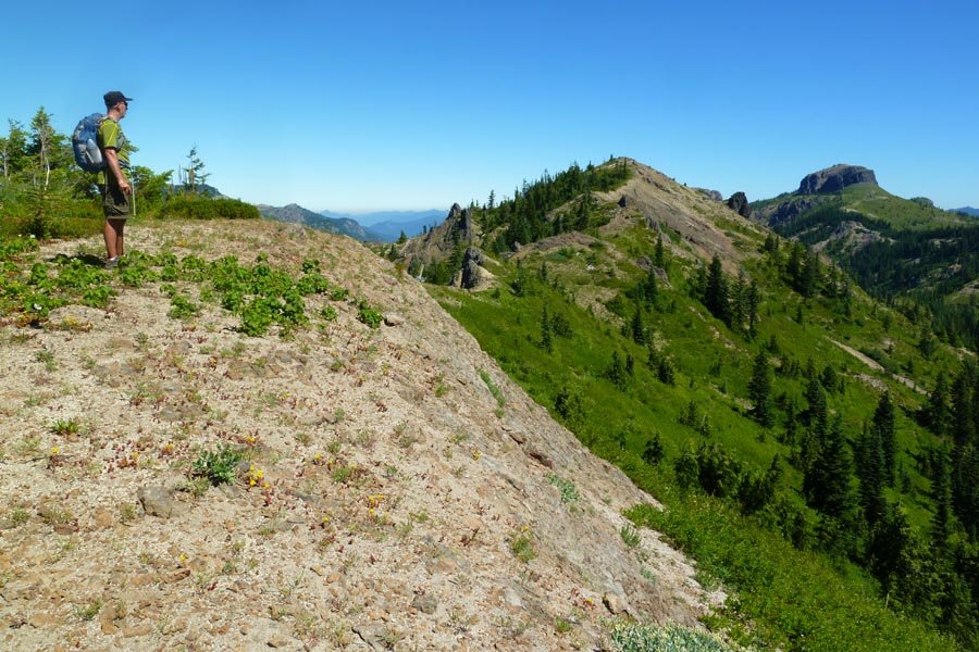
July 15, 2013 The Brothers 16 miles 6,500 feet gained
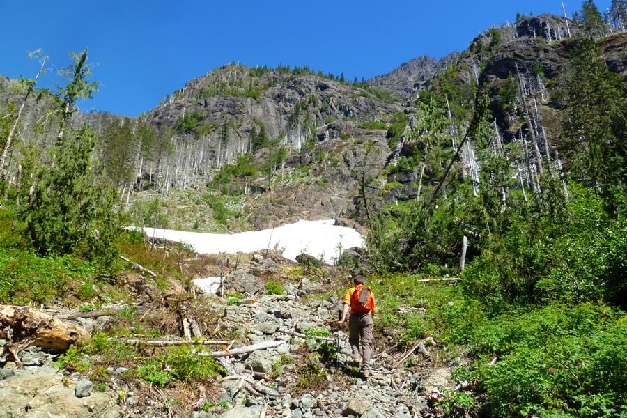
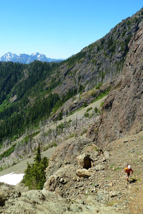
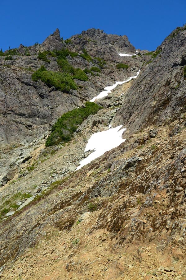
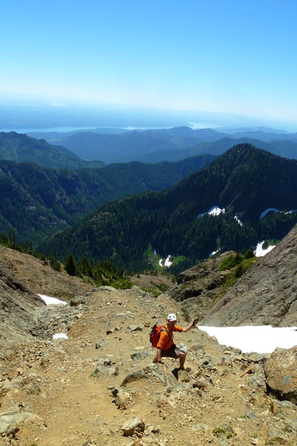
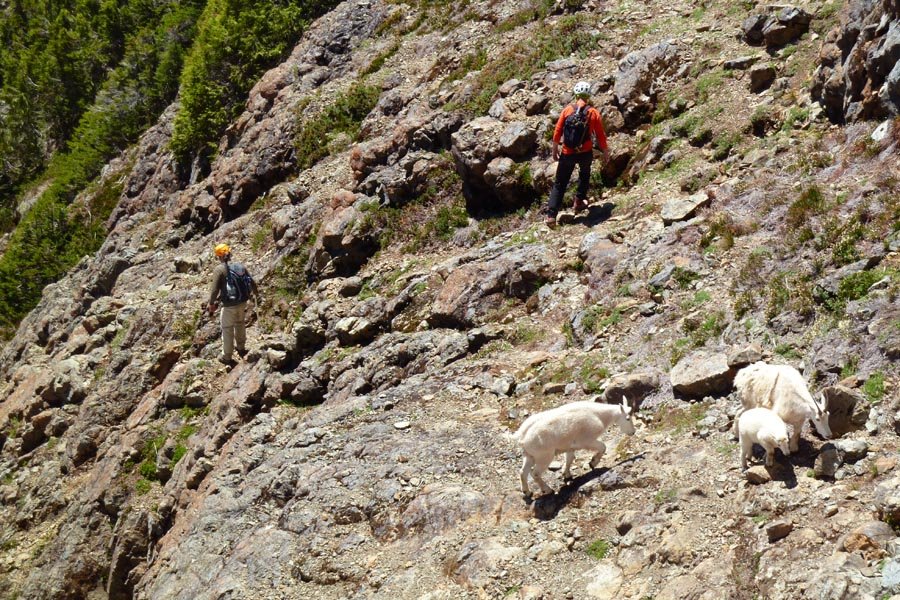
Wake up: 3:30am Leave Portland: 4am+ On Lena Lake trail: 7:45am Burned up past Lena Lake into Valley of the Silent Men, very pretty - moss and water and very Gorge like. Hit climbers camp, briefly lost use trail, regained trail, lost it again in avi debris and downed trees. Finally got into the ascent couloir - snow is melting and seems unsafe, so we scrambl...
July 7, 2013 Mount Adams 12 miles 6,750 feet gained
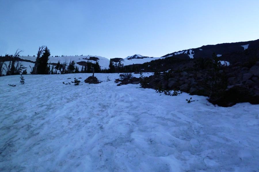
Drove out Saturday evening and camped at the trailhead. 4am start on the trail - no snow for the first couple of miles. Lots of meltout compared to when I was last here two years ago. There wasn't as much of a staircase up to Piker's Peak as the last time. Summit around 10:30 or so, followed by at least 4000 ft of glissading, basically summit to snow line. F...
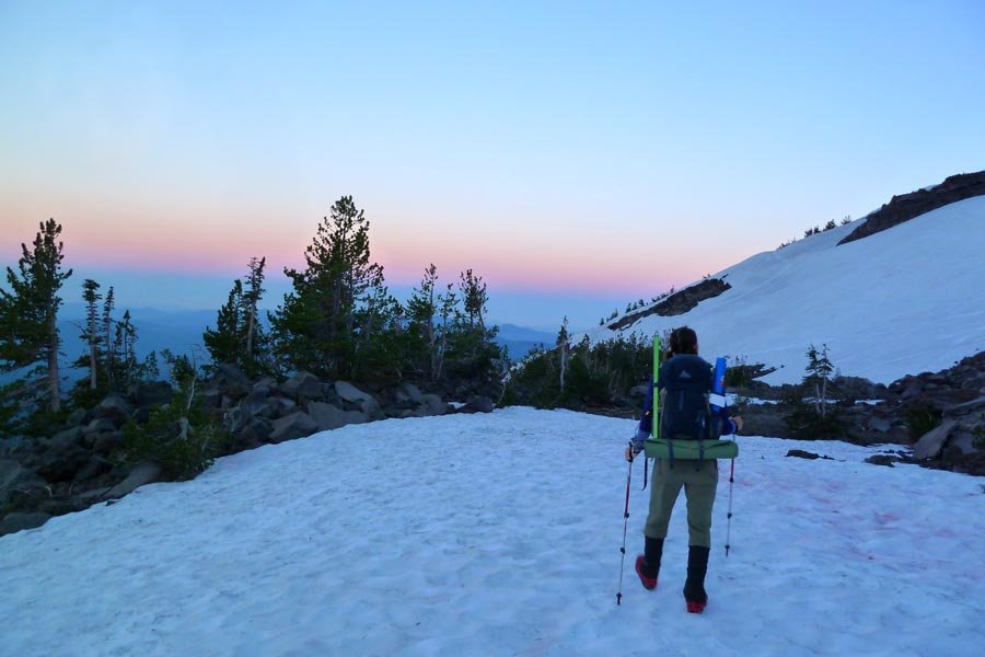

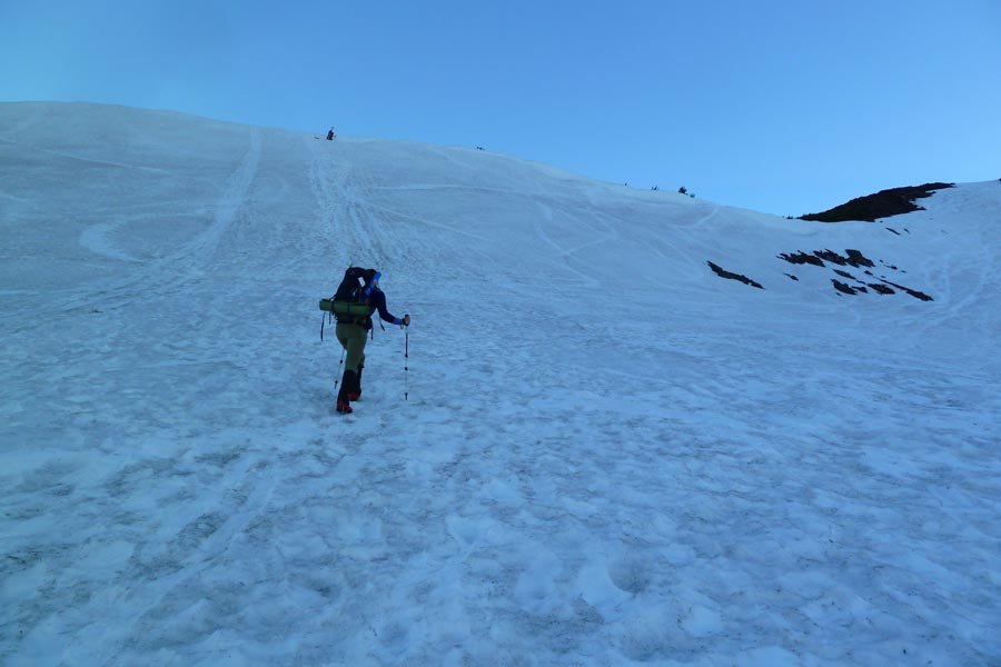
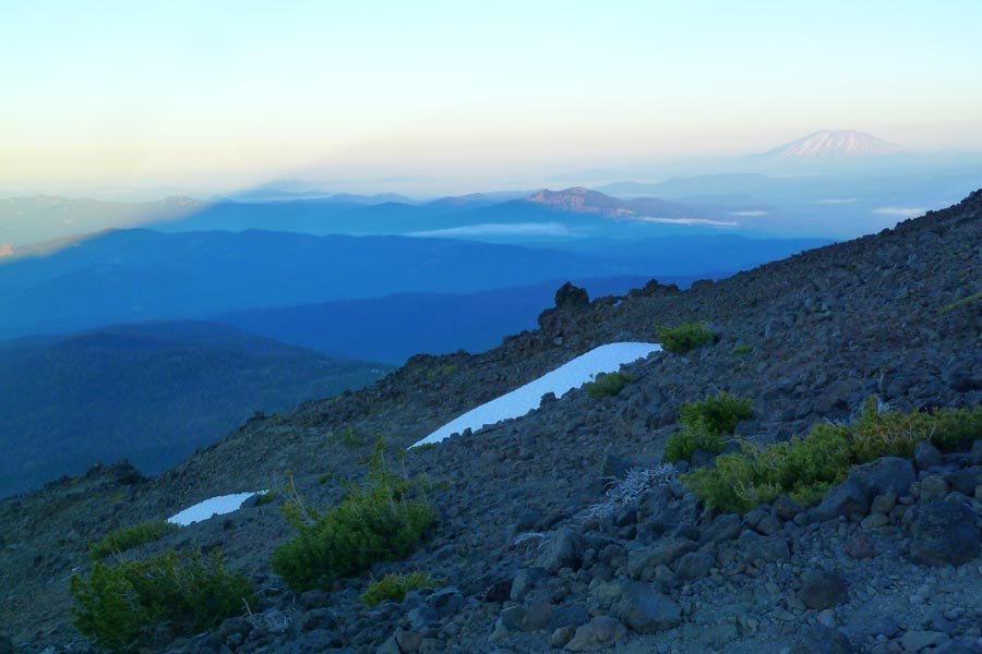
June 29, 2013 Mount Defiance 25.5 miles 11,000 feet gained
Munra, Ruckel Ridge, Defiance. Definitely a good choice for a 90º day.
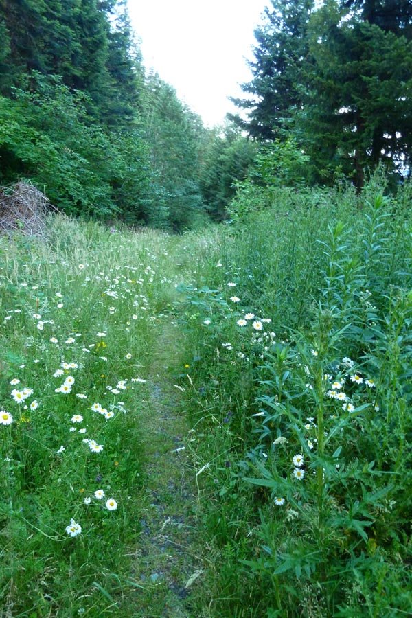
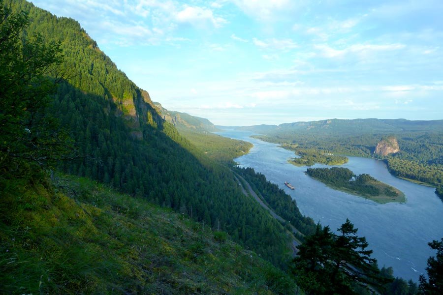
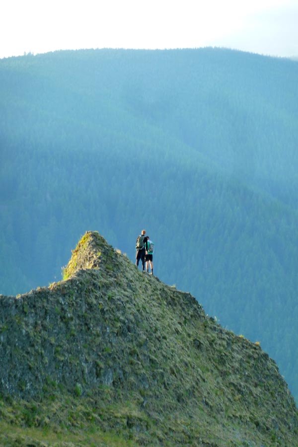
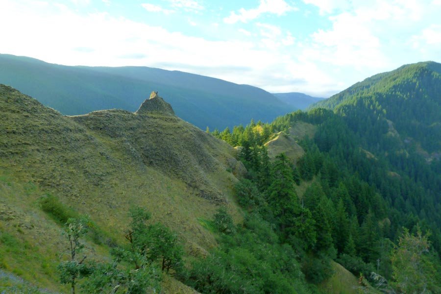
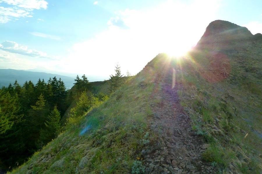
June 22, 2013 Mount Jefferson 12 miles 6,750 feet gained
Left Portland 10pm Friday after work and drove out to Pamelia Lake. Left the car under headlamps around 1:30am and followed the trail to Pamelia Lake and up to the PCT to Milk Creek. Then off trail along the creek, taking the north fork to eventually reach treeline and traverse over on to the West Rib. Snow was not great and showed lots of recent avi debris....
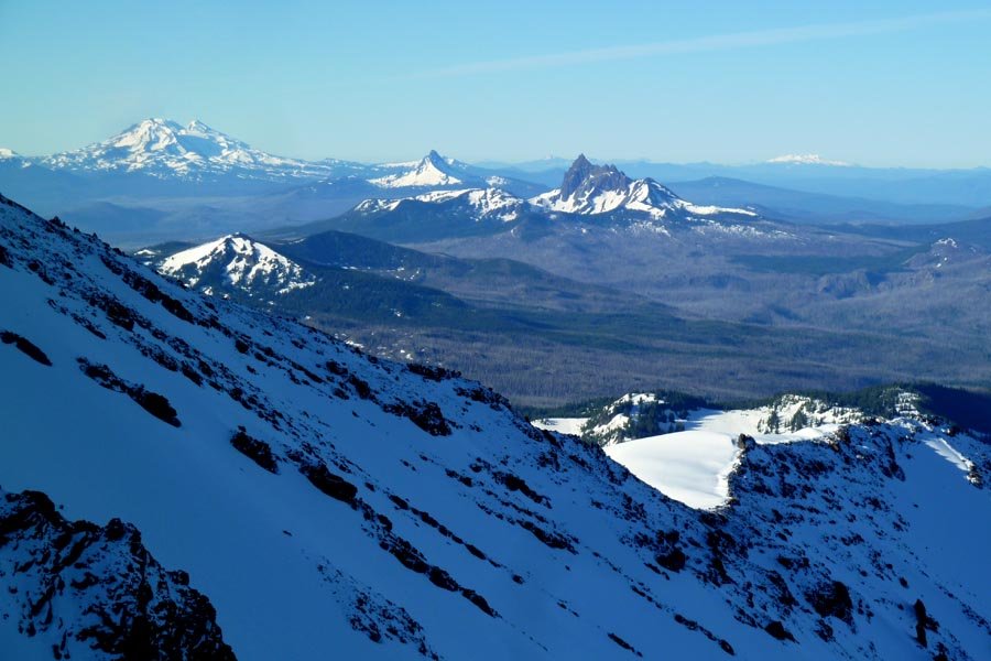
June 15, 2013 Tanner Springs 22 miles 6,250 feet gained
The last and longest of the Eagle Creek to Tanner Butte 'schwack ridges. Up Eagle Creek to just past 4.5 Mile Bridge, forded the creek, the steeply up the ridge east of Opal Creek to gain the long ridge that terminates near Tanner Springs. Not as technical as 4.5 Mile Bridge Ridge from last year - mostly rhodies alternating with open ridge walking. Since I w...
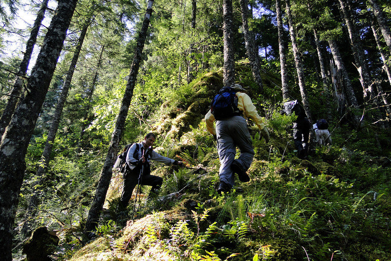
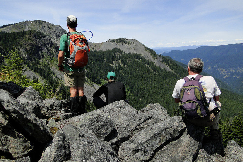
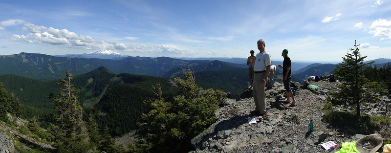
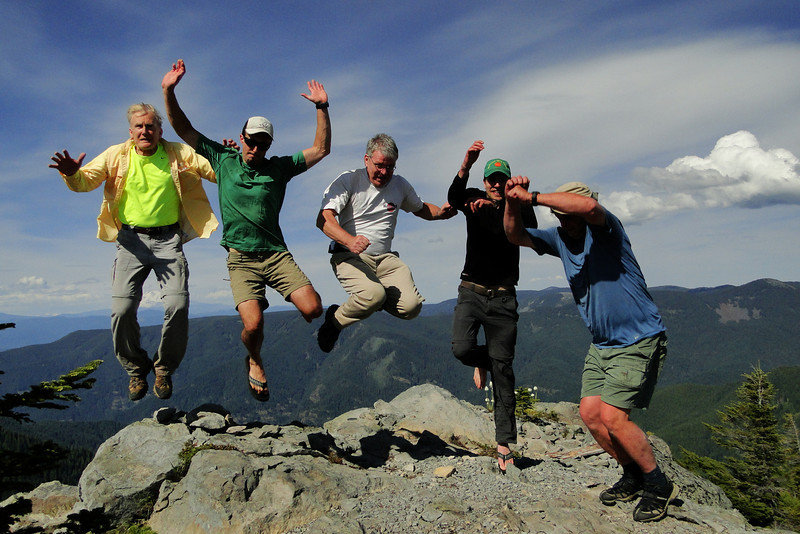
June 7, 2013 Nesmith Point 7 miles 4,000 feet gained
Another one from GCC, which calls it a "shocking line of super classic proportion" and "extreme risk." Very long approach up the Tumalt Creek drainage to a fair bit of sketchy climbing and traversing. Gear: rope, slings hitched to trees for pro and anchors. Upper tree and dirt pitches were solid type 1 fun, and I never felt (that) in danger, but this is defi...
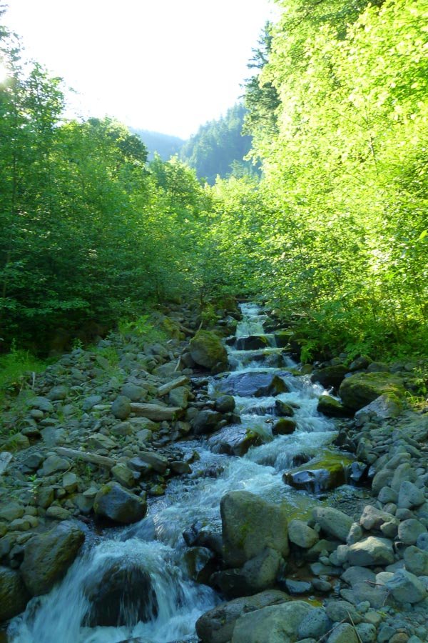
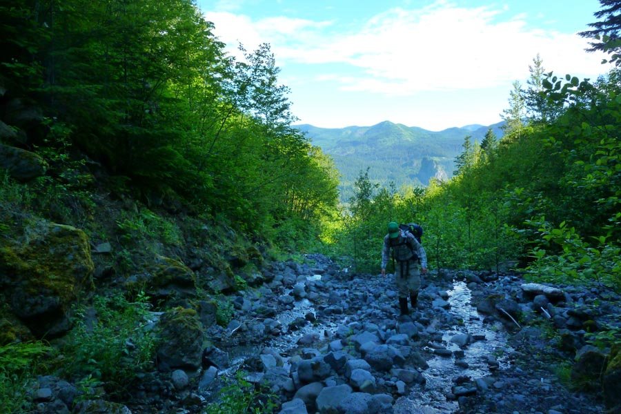
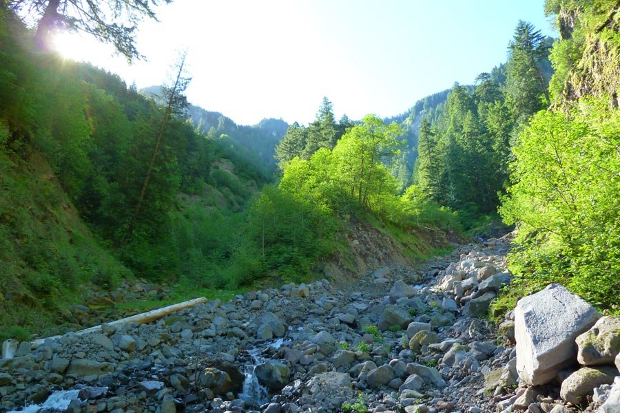
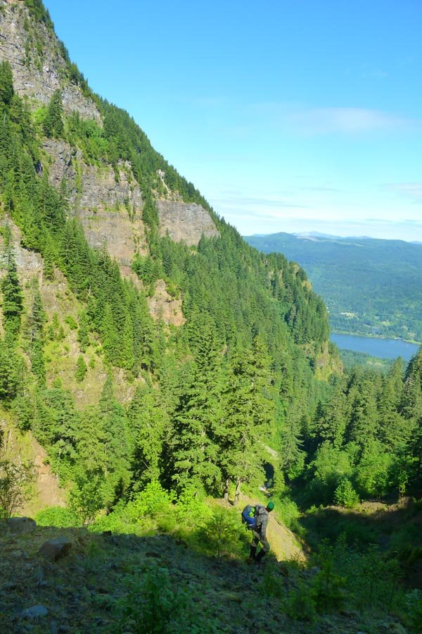
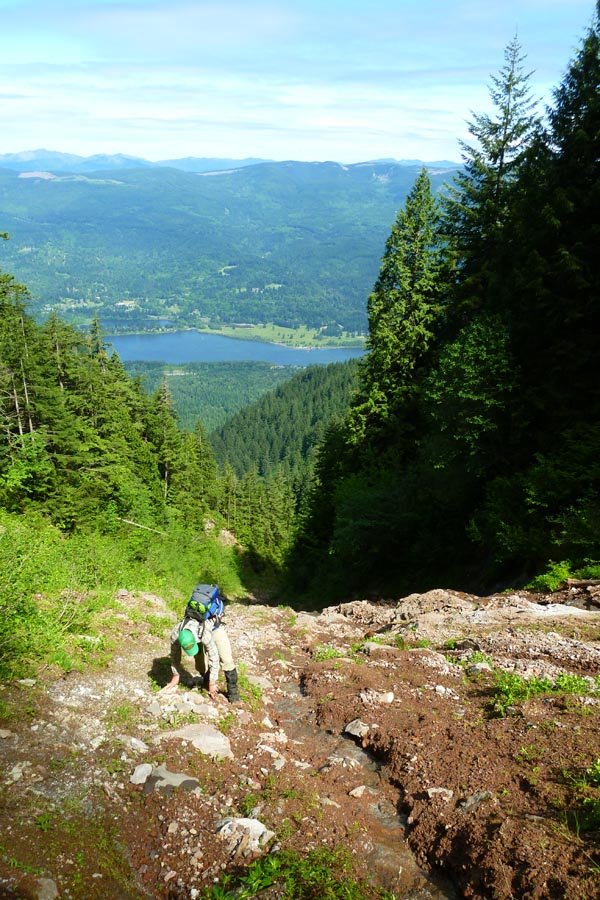
June 5 to June 6, 2013 Tanner Butte 25.5 miles 6,500 feet gained 1 night
Left midafternoon after work, on the trail at 5pm. Summit of Tanner at 8:30, some clouds made a bit of an early sunset but very nice out and it stayed light until near 11pm. Bivied out in the open below the summit in a nice cradle of beargrass. Up at 5am for the sunrise, leisurely breakfast, then back down the trail at 7am. Continued on to Tanner Spring (flo...
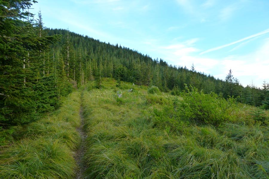
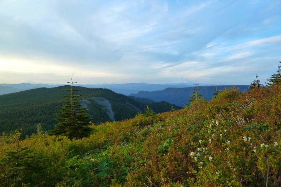
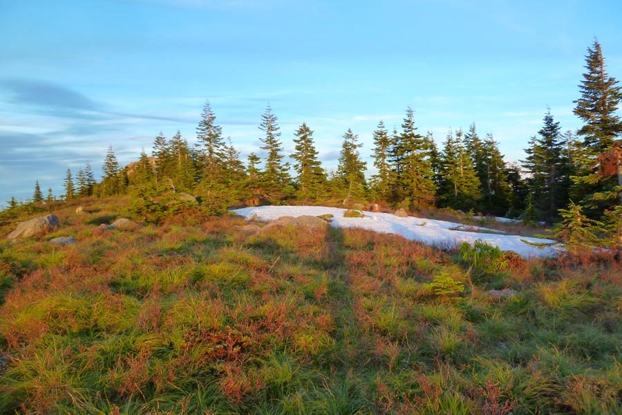

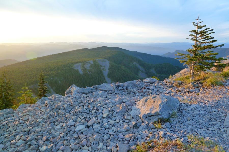
June 3, 2013 Ruckel Creek 8.5 miles 4,250 feet gained
Up the Ruckel Creek trail and then jumped off up the northern ridge. Viewpoints galore and fun exposure and climbing. Beats the crap out of Ruckel Ridge.
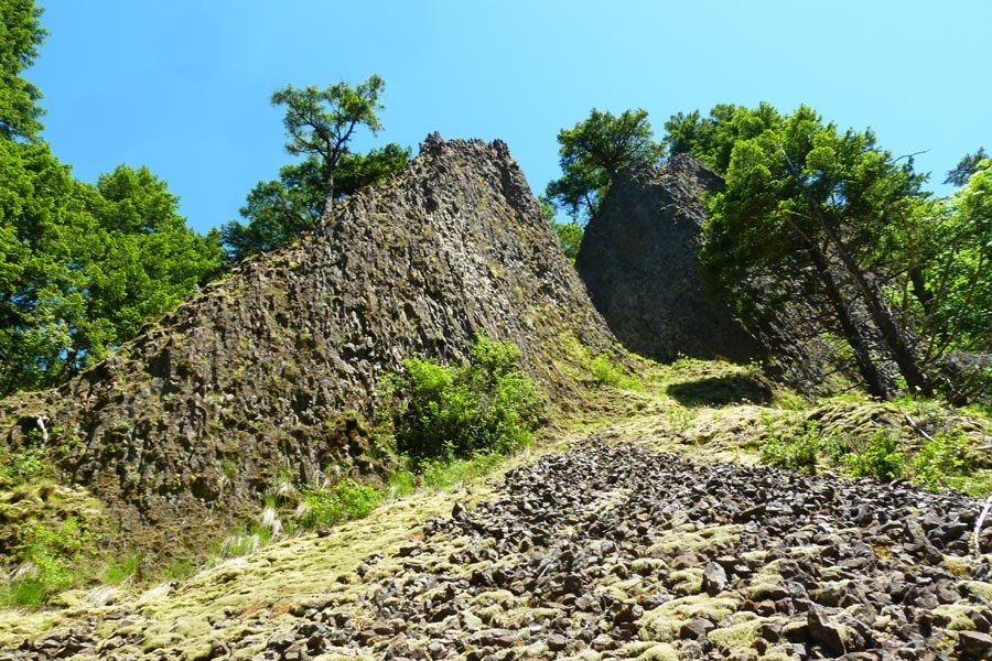
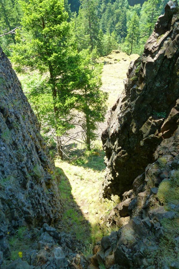
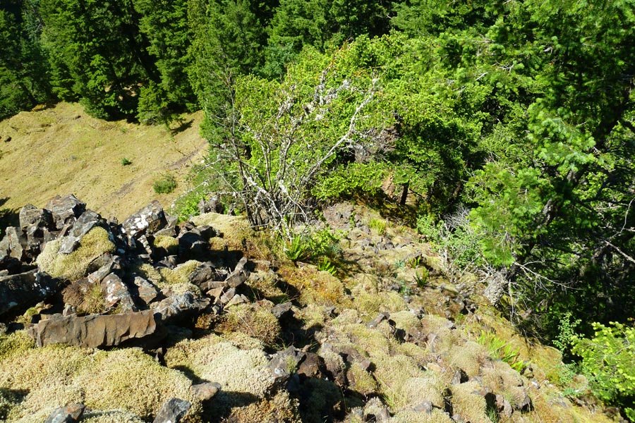
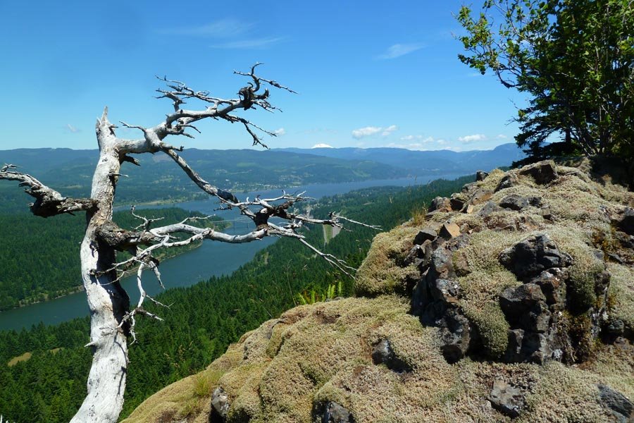
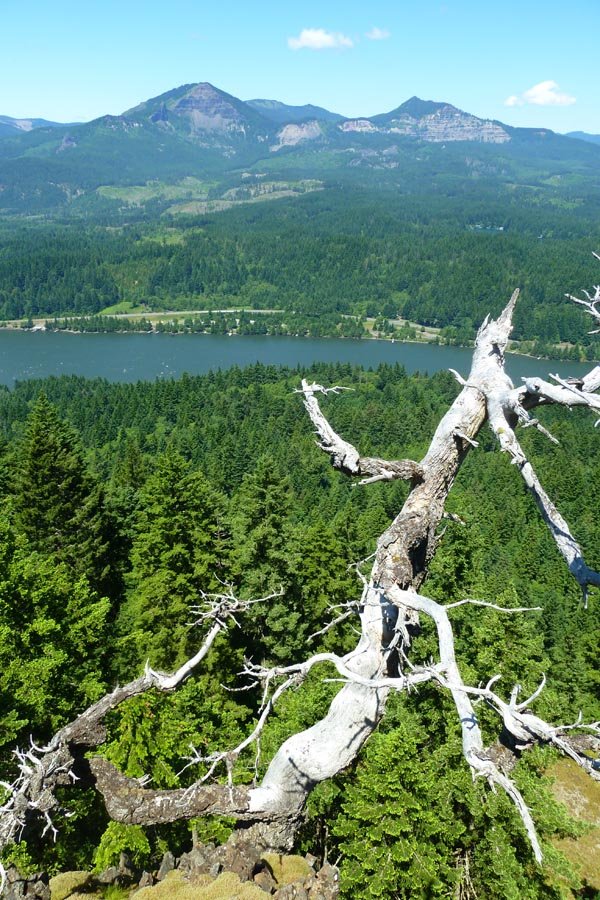
May 31, 2013 Wauneka Point 9 miles 4,000 feet gained
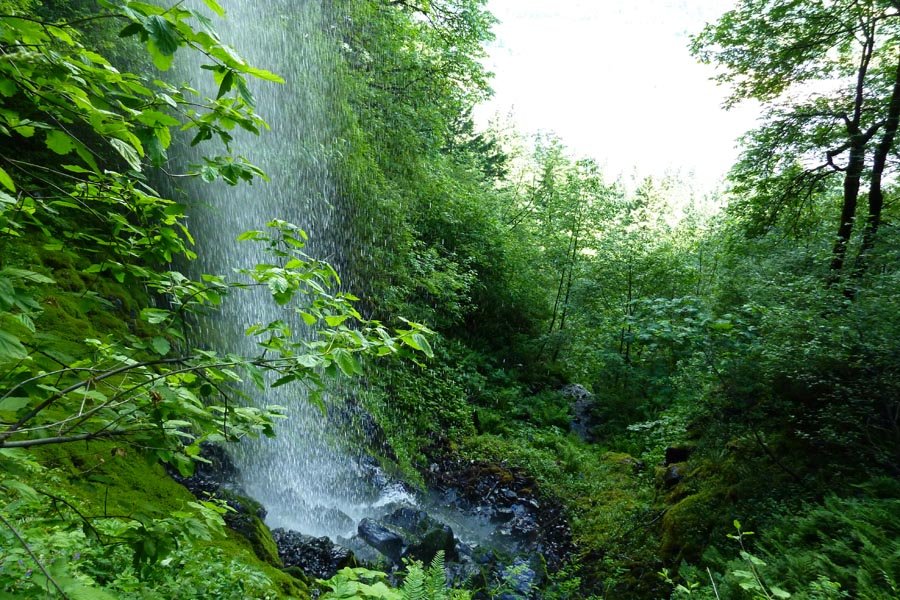
Went off trail up the Gap to Wauneka Point via an unfortunate 2 hour detour to the east when we went up the wrong talus field. But we found a great hidden waterfall en route! Then Wauneka and the indian pits to Moffet Cr and a cross country compass bearing to catch the Nesmith trail back down.
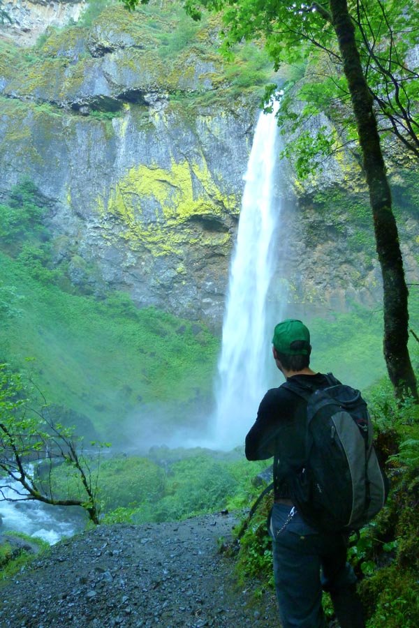
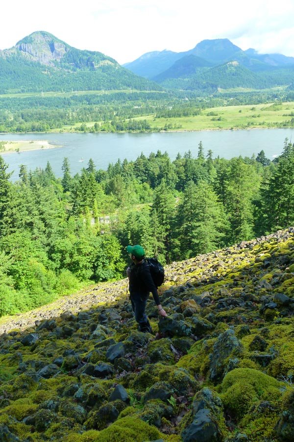
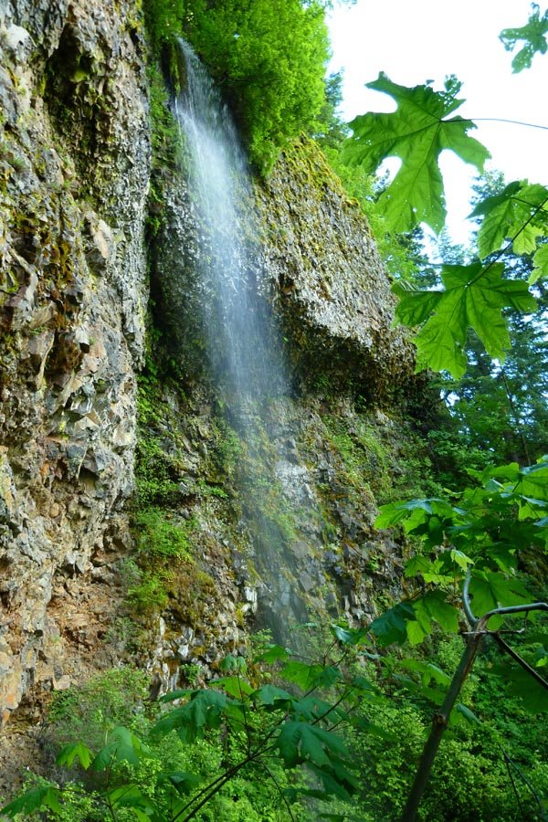
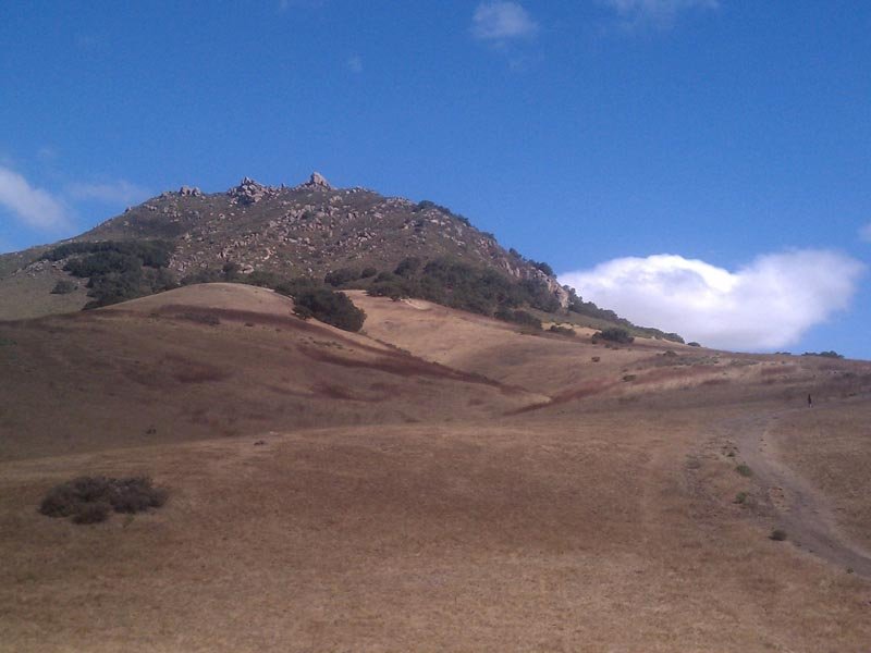
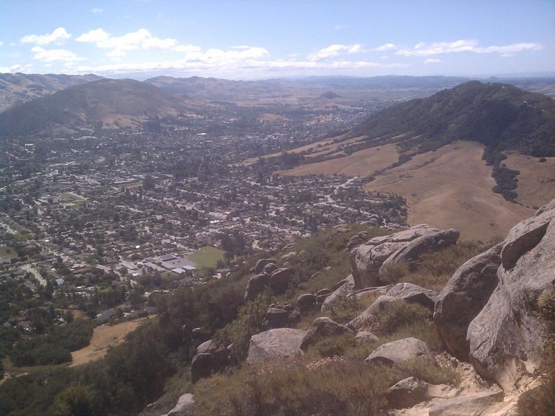
May 28, 2013 Bishop Peak 4 miles 1,250 feet gained
Just a little ditty after eating one too many donuts at a wedding. Lots of that bright yellow stuff people in the NW talk about hypothetically - I think they call it "sun?" California sure is purdy. (really atrocious photos courtesy of my cellphone)
May 17, 2013 Waespe Point 14 miles 4,750 feet gained
Started at Oneonta with plans to go OT to Waespe Pt. Mid gully changed tack and went up the west side to a different viewpoint, then up the ridge to pop out at Bickel Pt. and Nesika Lodge. (Old guy at Nesika says Bickel Pt. is actually Waespe?) Then up the cutoff to Franklin Ridge, to Oneonta Tr to Larch Mtn in intermittent rain. Down Larch Tr, across Multno...
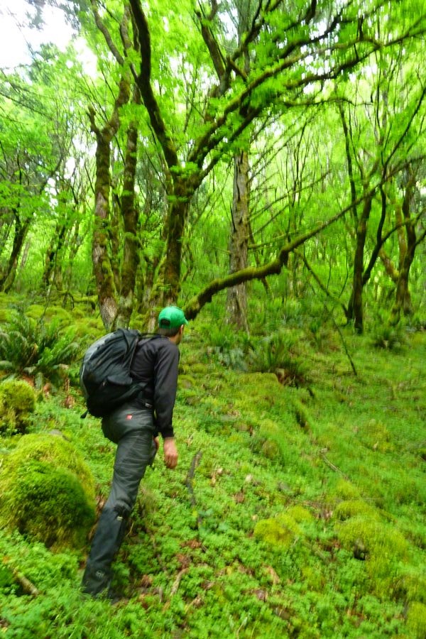
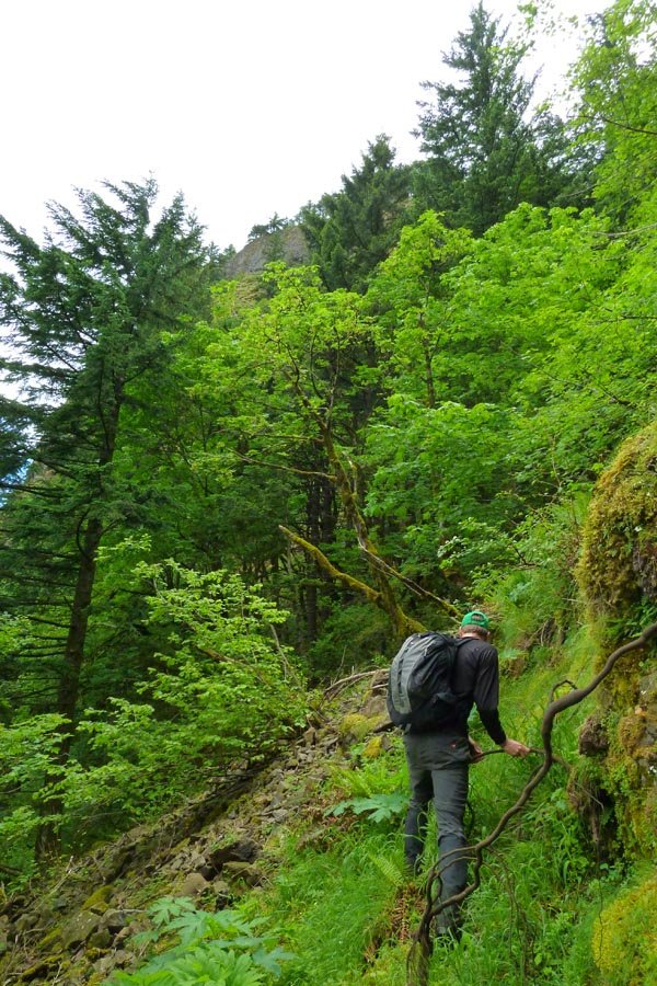
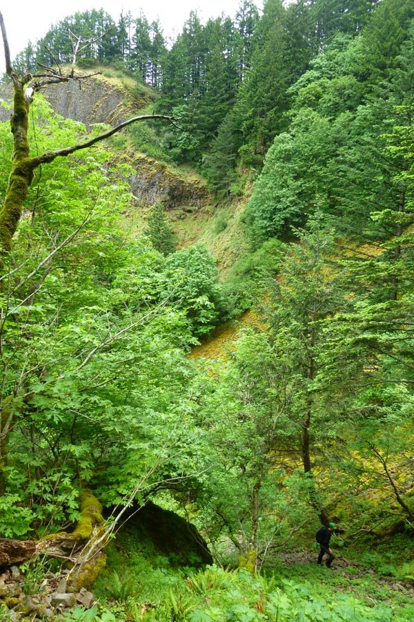
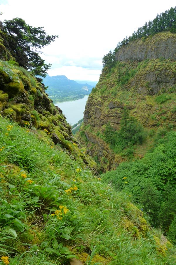
May 15, 2013 Tomlike Mountain 29 miles 7,500 feet gained
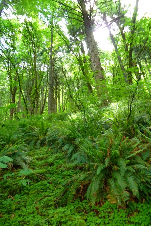
Started at Herman Cr 7am. Up Nick Eaton to GPM and some light rain, down Waucoma Ridge and after getting a little lost in the snow, out to Tomlike. Then back to the snow and over to Chinidere (direct, up the back side). Summit beer and chocolate covered espresso beans. Down onto PCT and booked it up over the Platter and back down to HC by 8pm. Easiest long h...
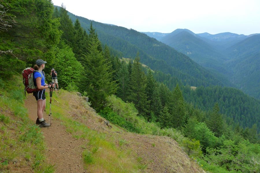
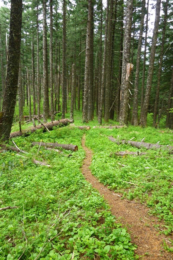
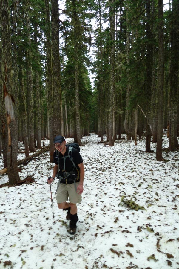
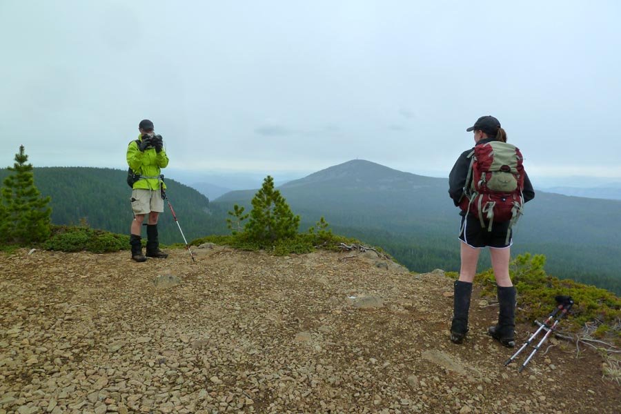
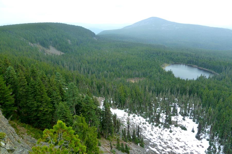
May 11, 2013 Mount Hood 7 miles 5,750 feet gained
Interesting conditions on Hood after all the heat - crevasses and bergschrund opened up on the glaciers. A little icy in the Hourglass but fun climbing. Old Chute was steeper and more frozen than previously, making the decent a little harder. Super slushy below the Hogsback. About a million people on the south side.
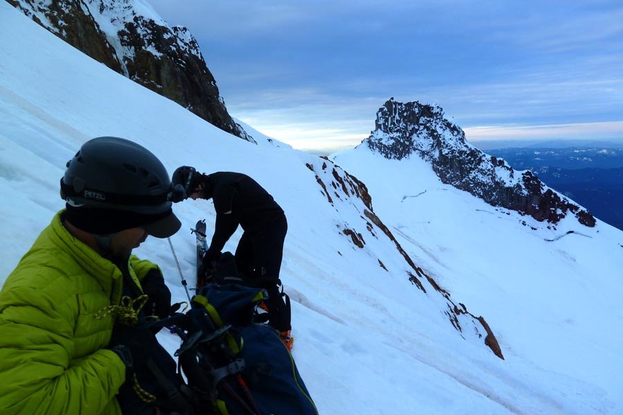
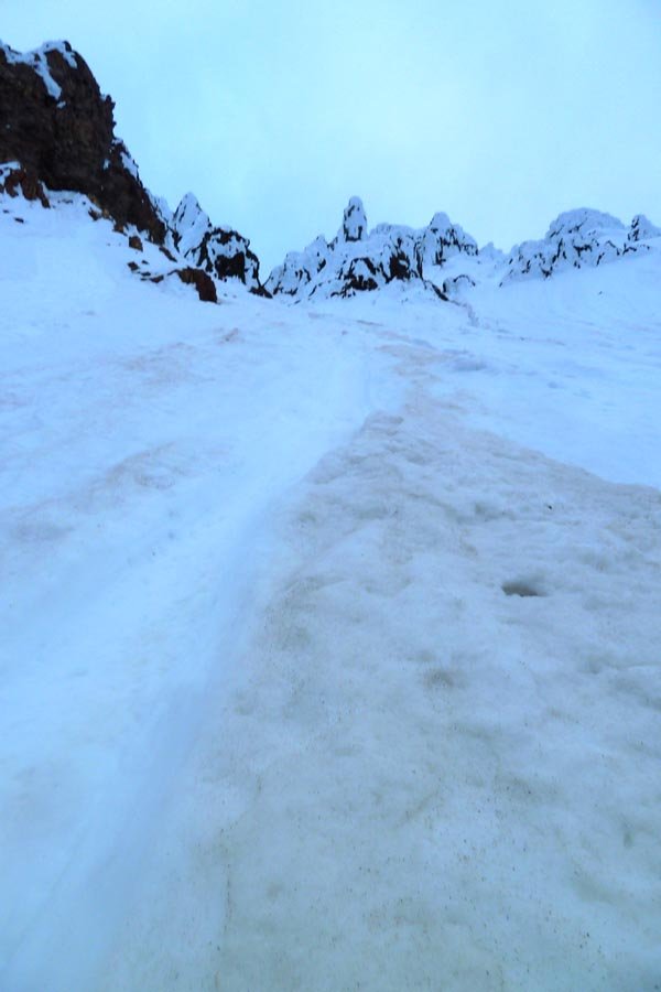
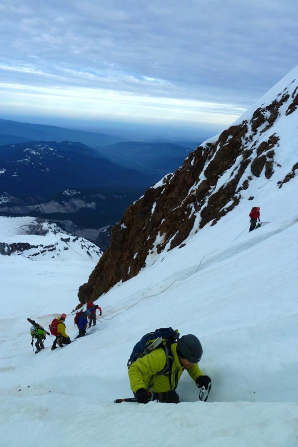
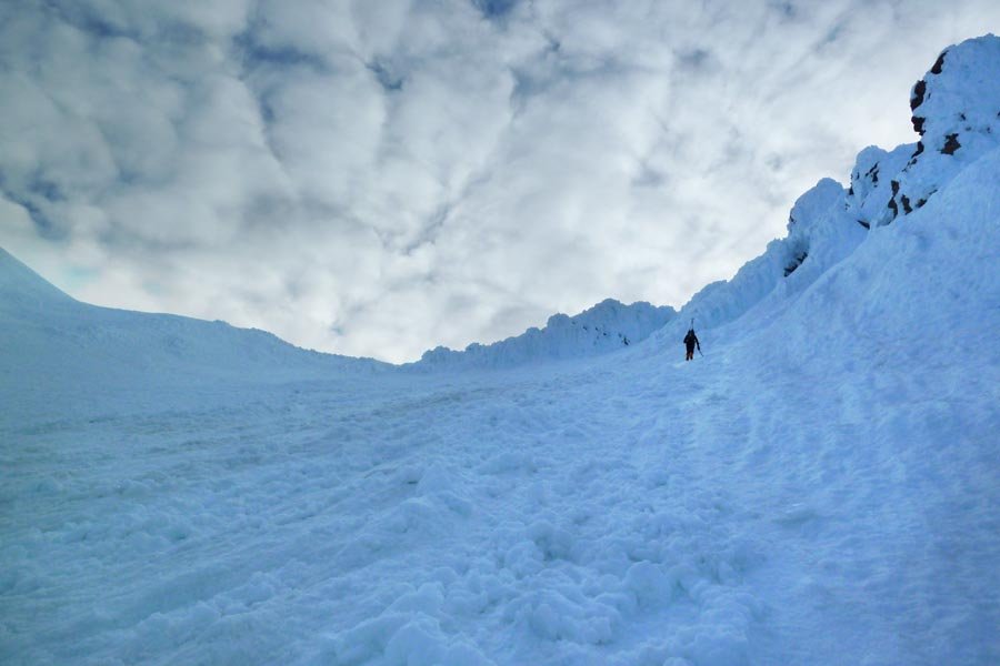
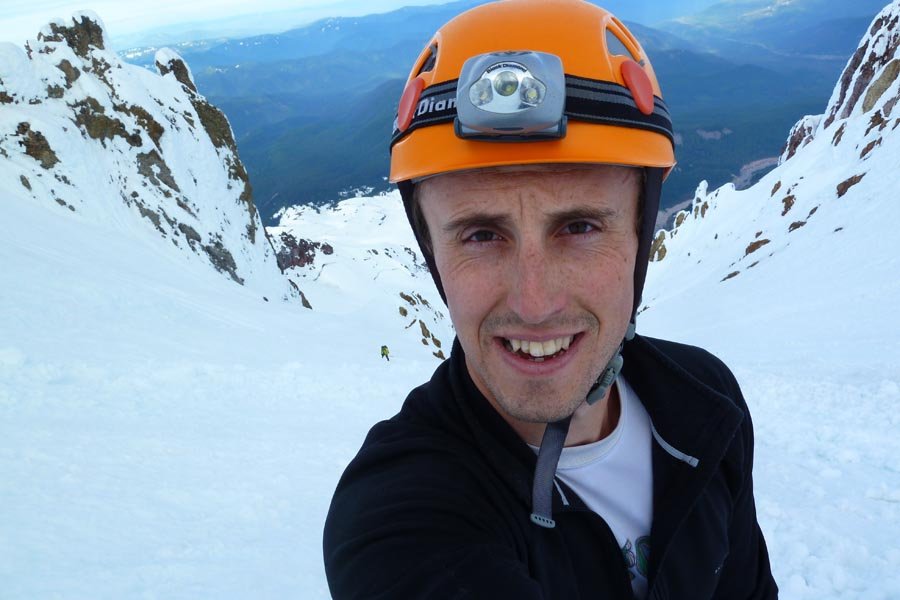
May 10, 2013 Saint Peters Dome 6 miles 4,000 feet gained
Hot day for brushy scrambling. Then rappelling! Then more brush!
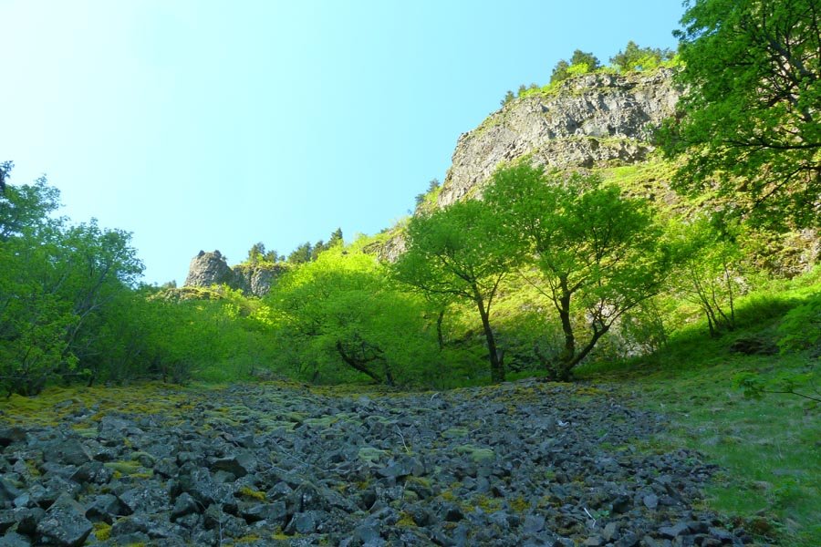
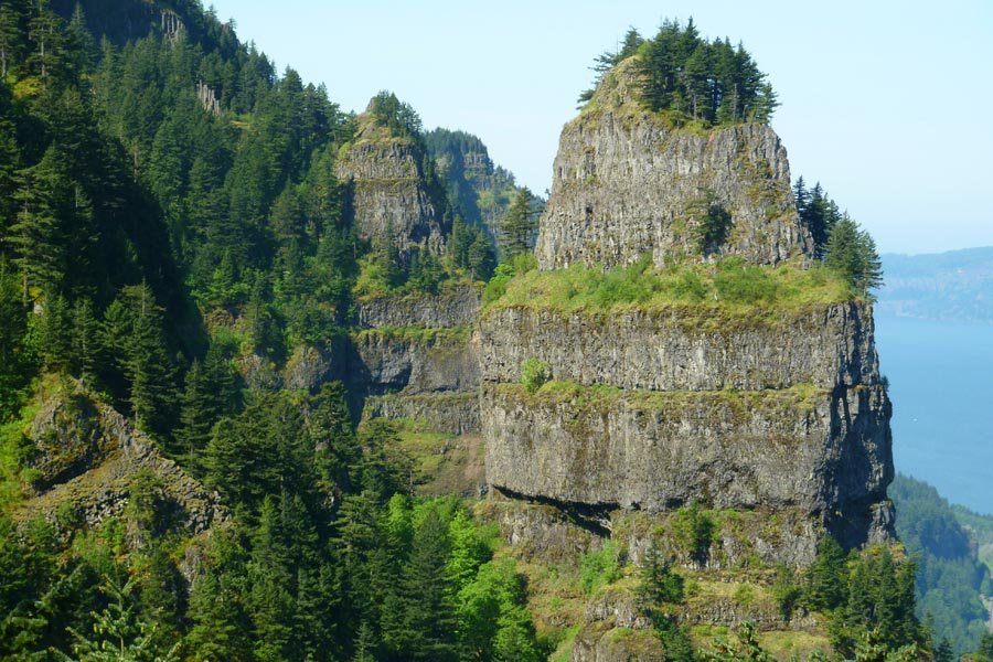
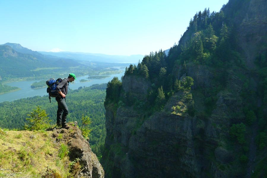
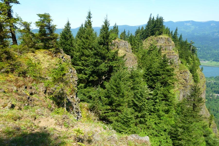
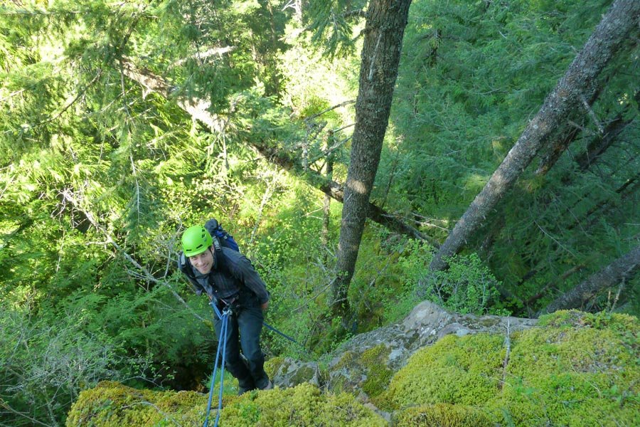
May 6, 2013 Table Mountain 10 miles 3,750 feet gained
Back again with Elsie. Since Wednesday: mud on Dick Thomas has dried. Plants have doubled in size. Bugs have hatched. Super hot. Summit picnic included fruit, homemade chocolate truffles, and chilled gewurztraminer. Descended the NW Ridge.
May 3, 2013 Yeon Mountain 7.5 miles 3,500 feet gained
From GCC - parked on the frontage road in Dodson, went up Tumalt Creek, then up the first gully east of Yeon onto the NE Buttress to a fabulous viewpoint past the saddle. Then up the NE Ridge to the plateau. Down ROA and back via the 400 and the road. No technical gear needed.
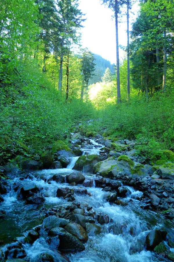
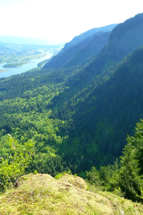
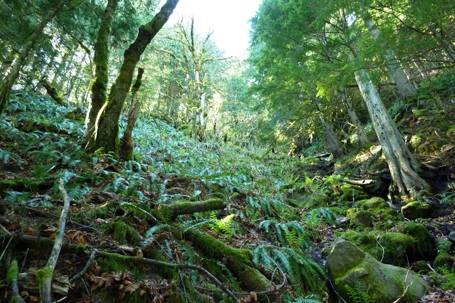
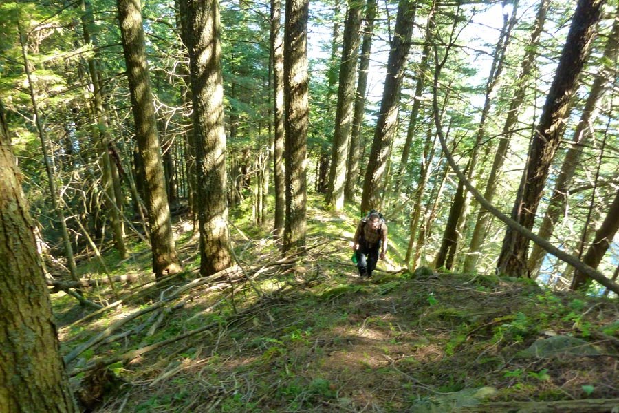
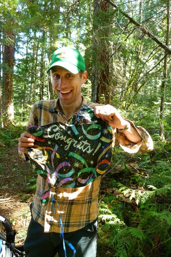
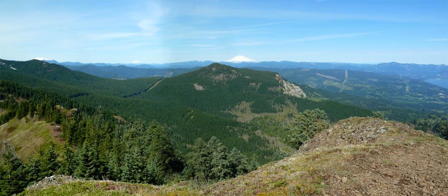
April 26, 2013 Munra Point 5 miles 2,500 feet gained
Crazy off trailiness. When in doubt, follow deer.
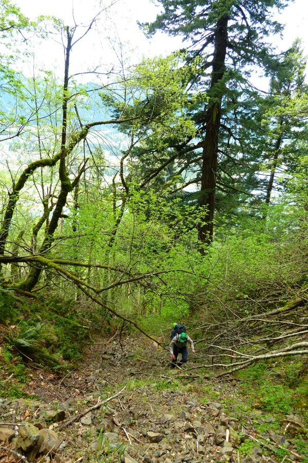
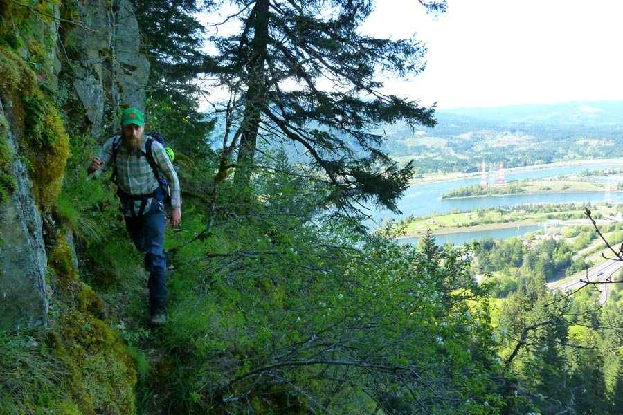
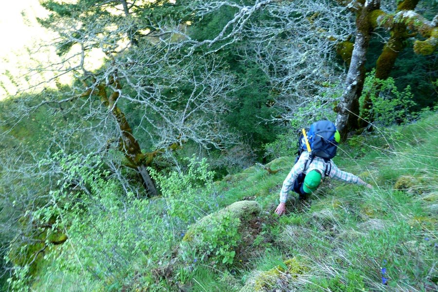
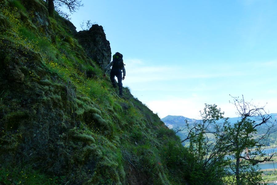
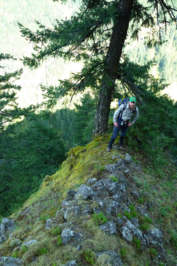
April 24, 2013 Devils Kitchen 6 miles 4,750 feet gained
Started 1:30am at Timberline. Continuous heavy winds. Got up to Hogsback, unsure how safe the summit would be with the wind. Cold. Partners opted to bail. Descended to Illumination Saddle, then walked straight down the Zigzag Glacier for a while and strolled back over to the Magic Mile to finish it out. Other climbers who'd gone up when we headed down appear...
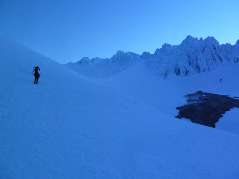
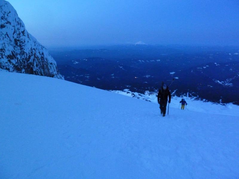
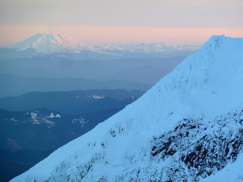
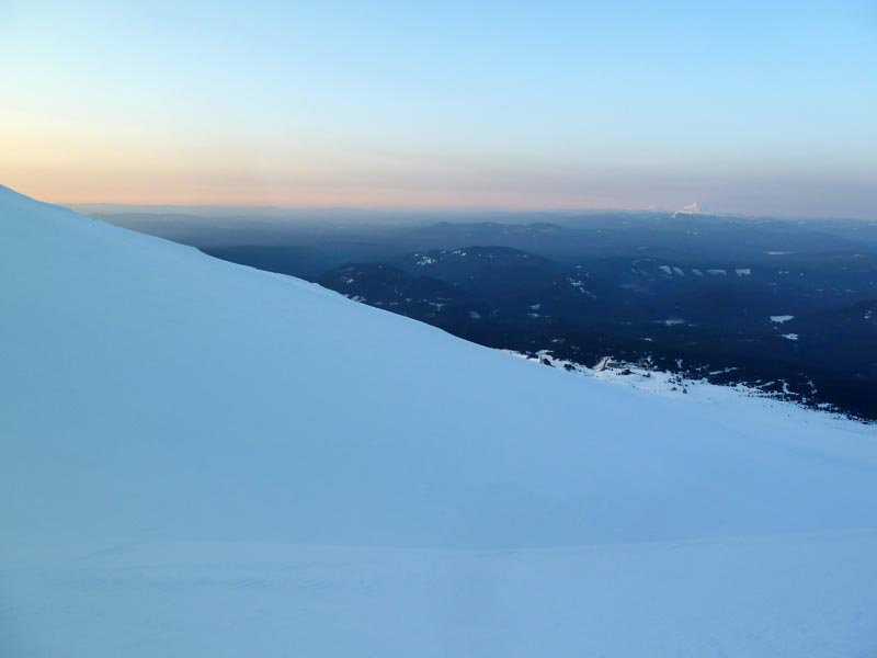
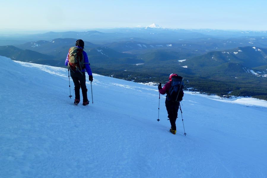
April 23, 2013 Illumination Rock 5.5 miles 3,500 feet gained
Spontaneous early morning trek up to Illumination, then back.
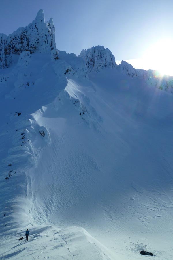
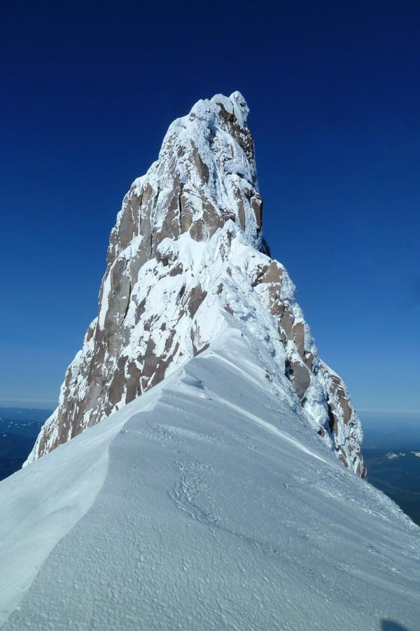
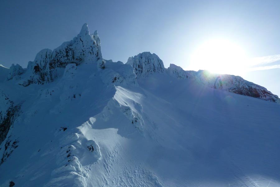
April 17, 2013 Ridge Cut-Off 6 miles 2,500 feet gained
Do not try this at home.
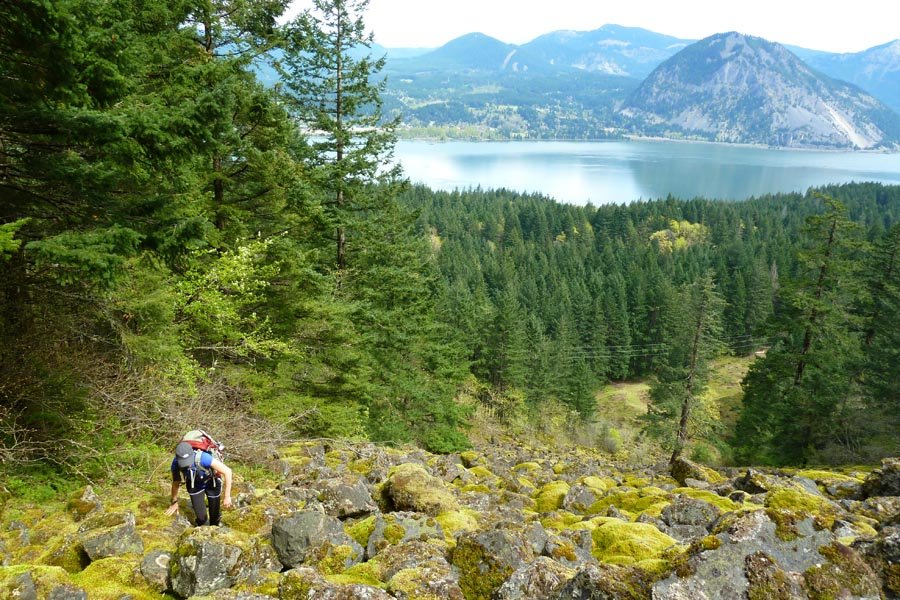
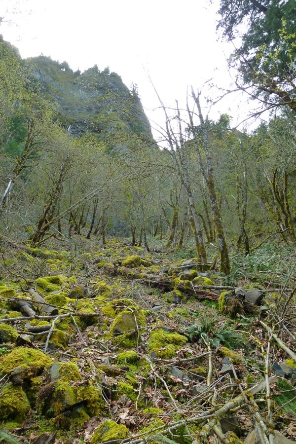
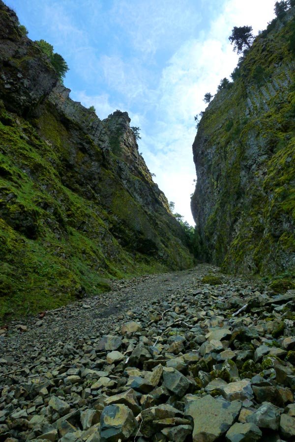
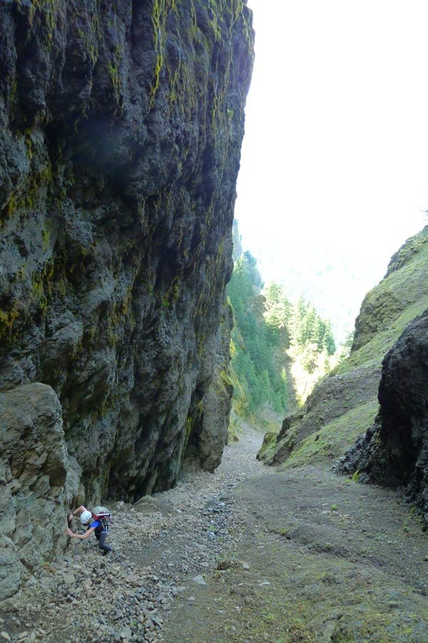
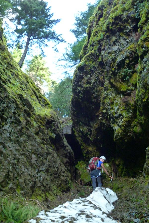
April 16, 2013 Nesmith Point 7.5 miles 3,250 feet gained
Off trail schwackiness.
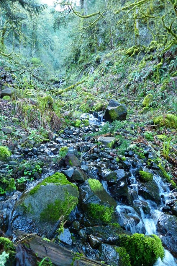
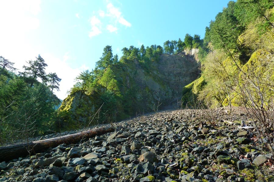
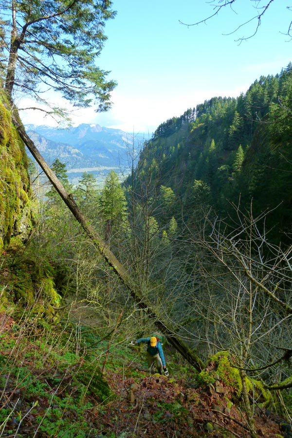
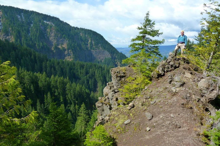
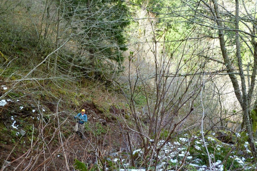
April 7, 2013 Nick Eaton 11 miles 4,000 feet gained
Up Casey Creek, down Nick Eaton. Rain turned into little graupel snow up top, blowing sideways. Then the sun came out partway down. Then it was raining at the car. Springtime in Oregon.
April 3, 2013 Dublin Lake 12 miles 3,750 feet gained
Planning to go to Tanner Butte. Took the shortcut up the ridge west of the Tanner trail - pretty cool, kind of like Rudolph Spur. One shoe decided it needed to eviscerate my heel, so I was forced to take my knife and cut out part of the plastic heel cup, which only kind of helped. Hit snow around 3500 ft and put on snowshoes to avoid obnoxious sinkage. The t...
March 31, 2013 Mount Hood 7 miles 5,250 feet gained
Started at midnight. Summit at 5:30am (after waiting for a cold hour at the Hogsback for the rest of my team to catch up). Sunrise. Back at the car at 9:45. Perfect conditions, no ice, not too crowded.
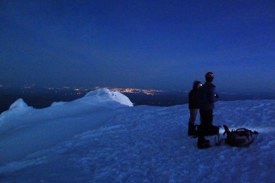
March 24, 2013 Sherrard Point 14.5 miles 4,000 feet gained
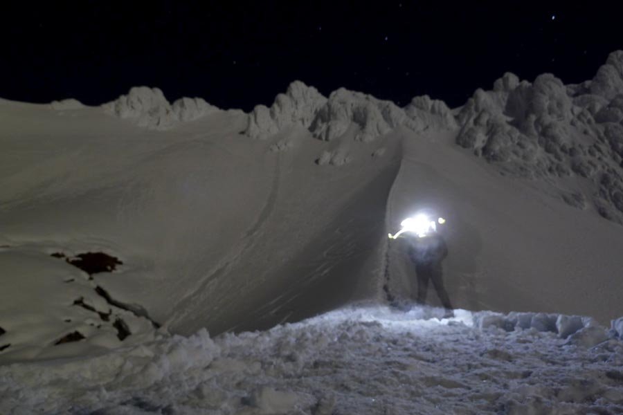
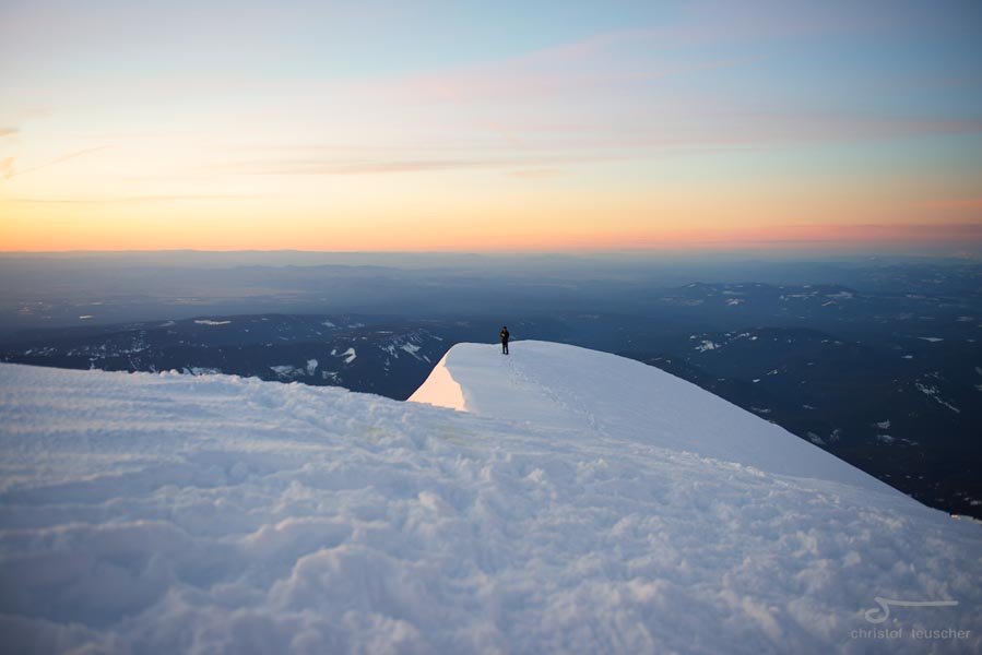
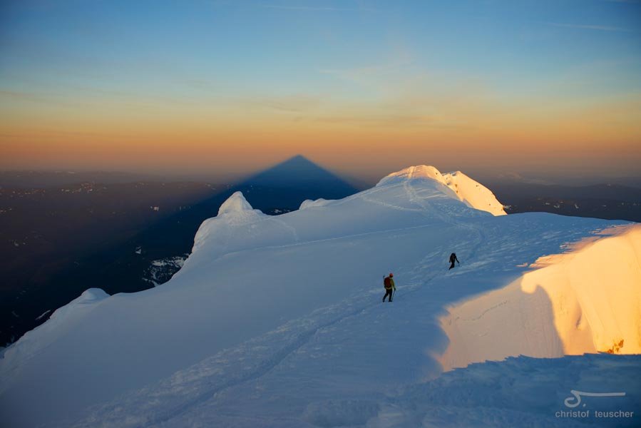
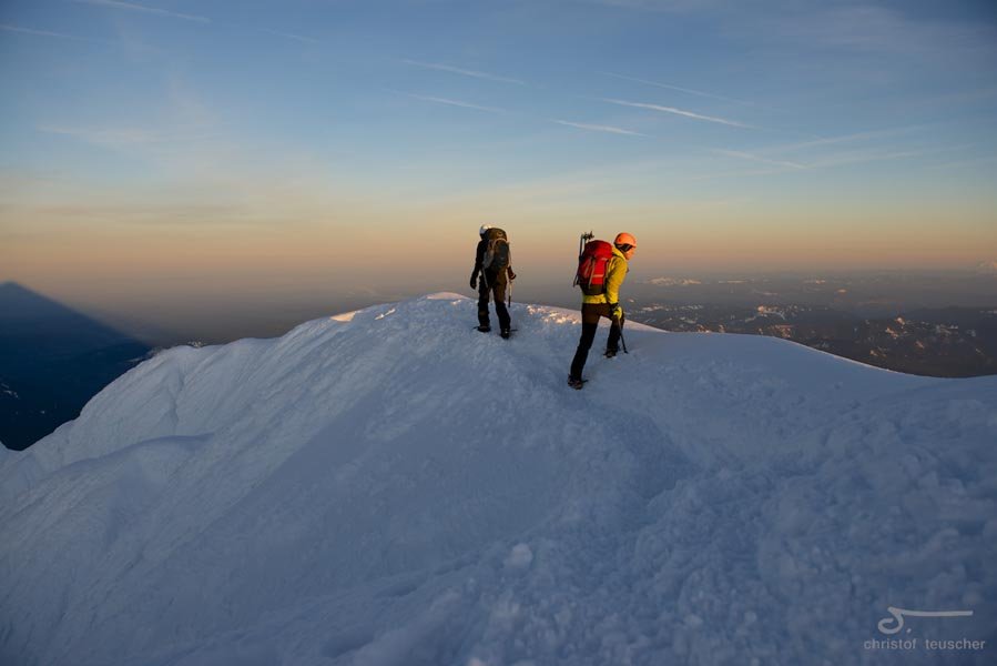
Alpine start at noon. Up in 3 hrs and back by 6pm despite spending the better part of an hour up top. Brought snowshoes but didn't need them due to a well beaten track! Spikes were helpful to keep from slipping on the compacted snow.
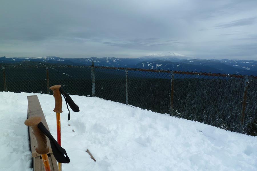
March 16, 2013 West Benson Way 13 miles 4,250 feet gained
Wet and windy, fun for everyone.
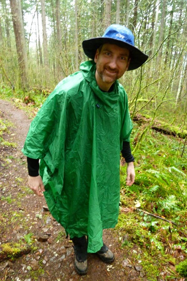
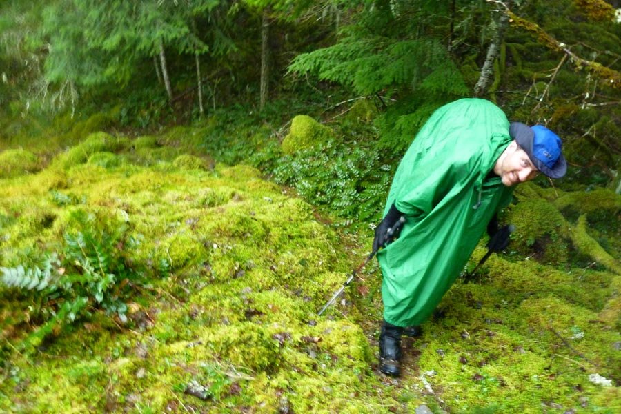
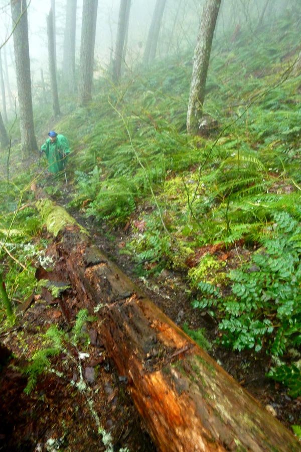
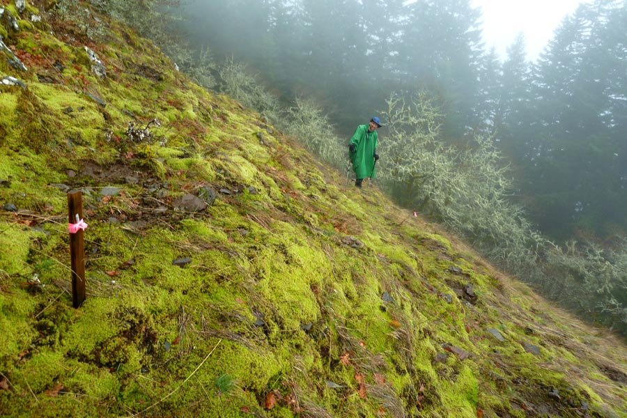
March 10, 2013 Mount Defiance 11.5 miles 5,000 feet gained
Really wet, heavy, slushy new snow on top of hard consolidated snow and ice. Cold, wet, and windy up top - pretty miserable. Unbelievable amount of Mazama flagging on the Defiance trail below its junction w/ the Warren Lake trail. Winter conditions = 6 hrs.
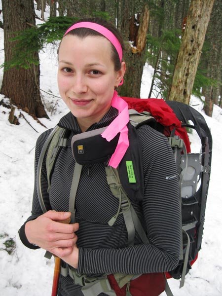
March 2, 2013 Table Mountain 10.5 miles 4,250 feet gained
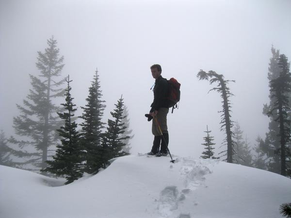
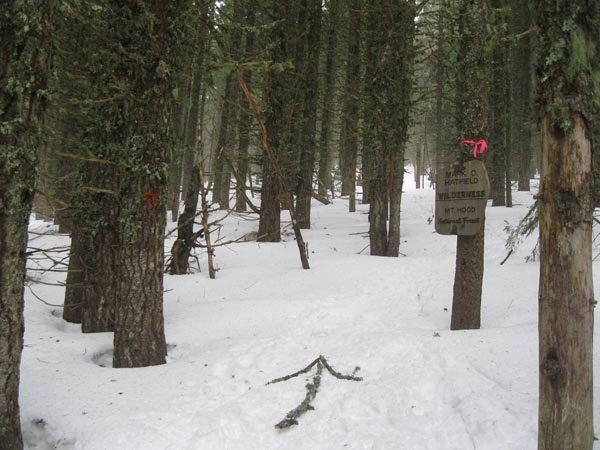
Cut over off the PCT and attained Hearbreak Ridge at the saddle below the Rabbit Ears. Bushwhacked up over the Two Chiefs, then went up the old trail to the summit. Descended the east side of Table into Greenleaf Basin, then down to the Two Chiefs Trail after a very wet ford of lower Greenleaf Creek.
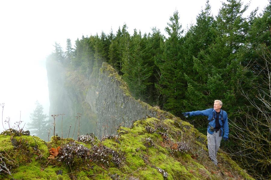
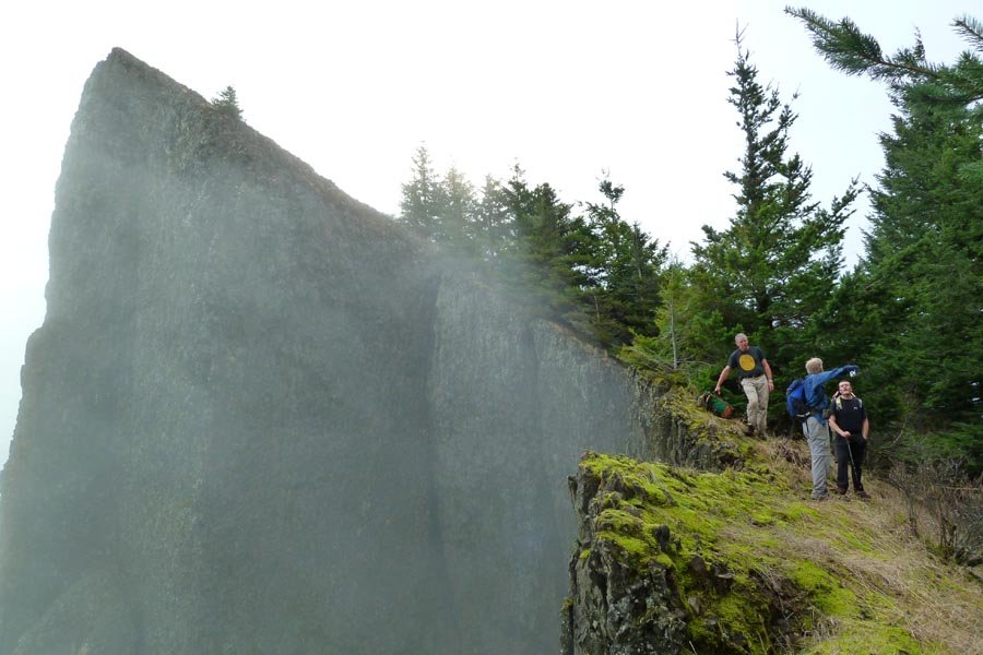
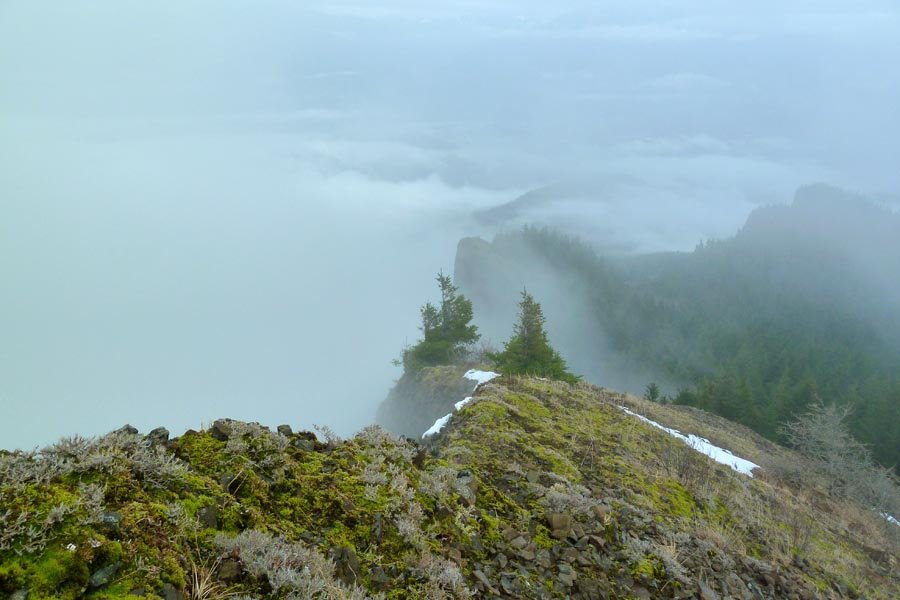
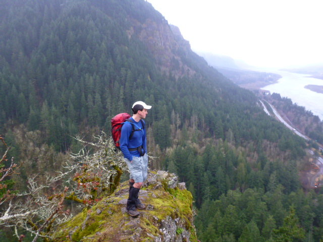
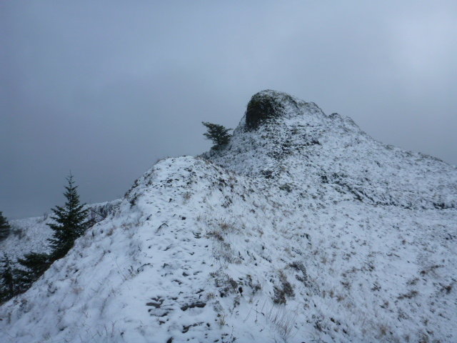
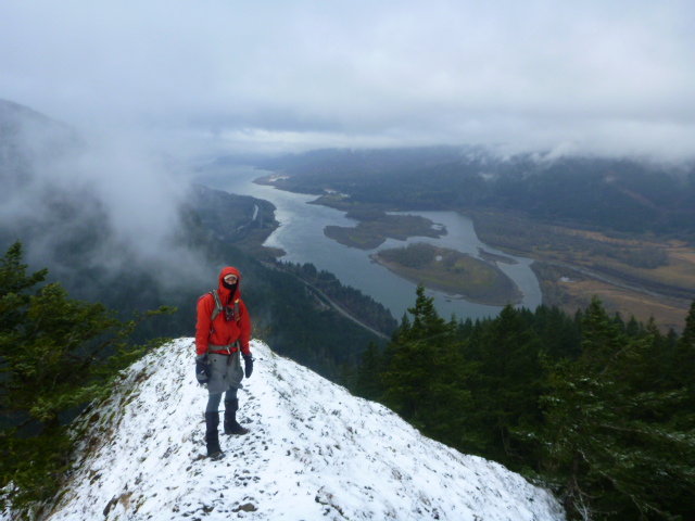
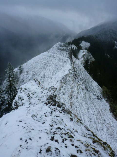
February 18, 2013 Munra Point 10 miles 4,500 feet gained
Started at Wahclella. Followed powerline road to Wauna Viewpoint, then OT up the brushy ridge to Wauna Point. Missed Pablo's ridge and instead went down a severely steep and brushy ripple to its left, but thankfully this dumped us practically on top of the Tanner TH. Back down to the parking lot, across the bridge, and up the 400 to below Munra, then OT sout...
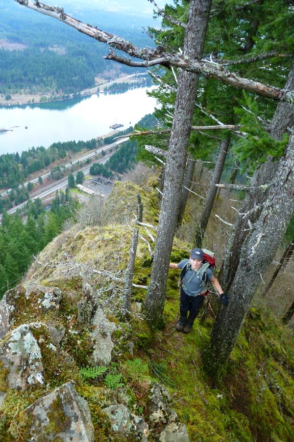
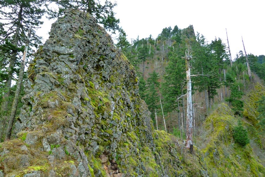
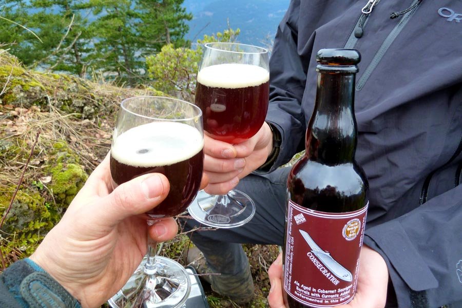
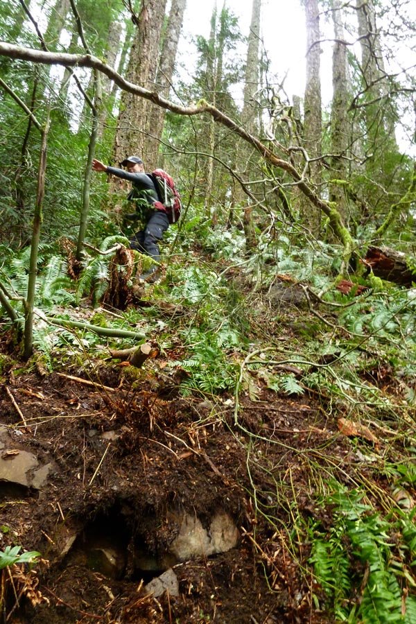
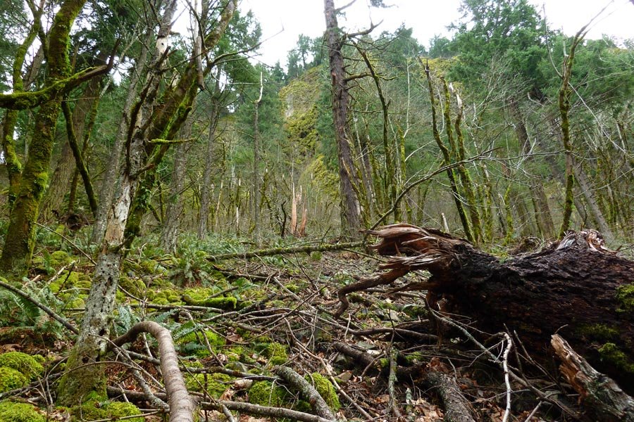
February 16, 2013 Ridge Cut-Off 12 miles 4,500 feet gained
Another exploration of the area near Grays Creek, this time to the west under Indian Point. Three gullies - the first was the Shooting Gallery, which we turned back from due to rockfall. Second dead ended. Third was a long straight shot all the way up to the Gorton Creek trail, making this the directiest line yet. Off and on rain, tons of mist, exciting and ...
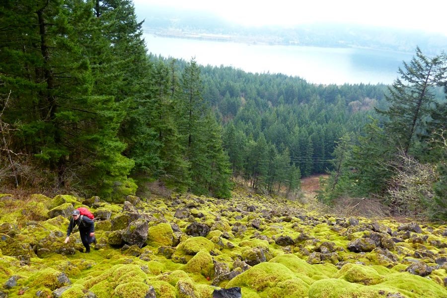
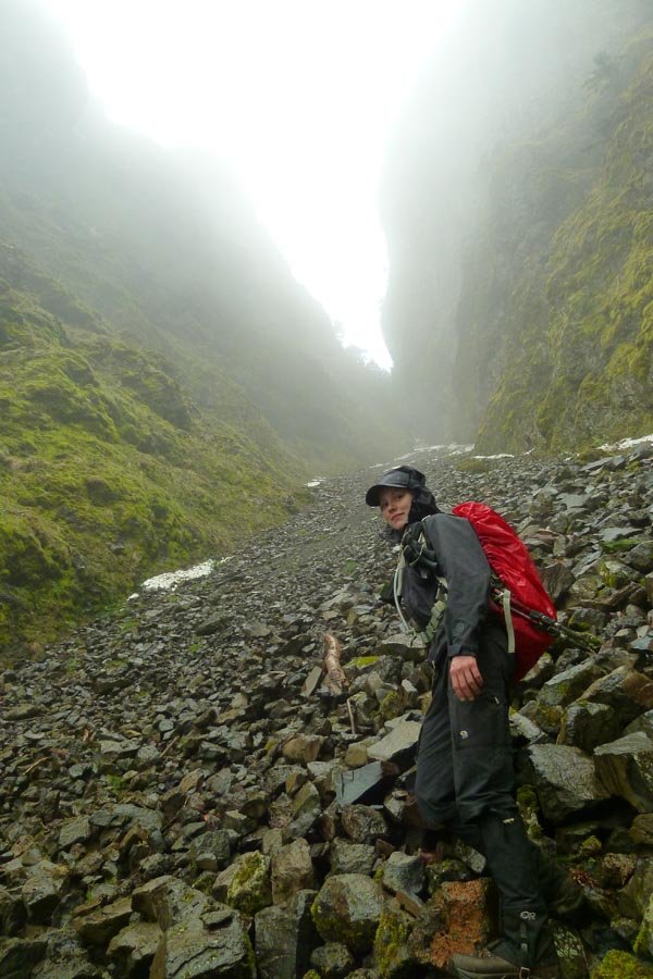
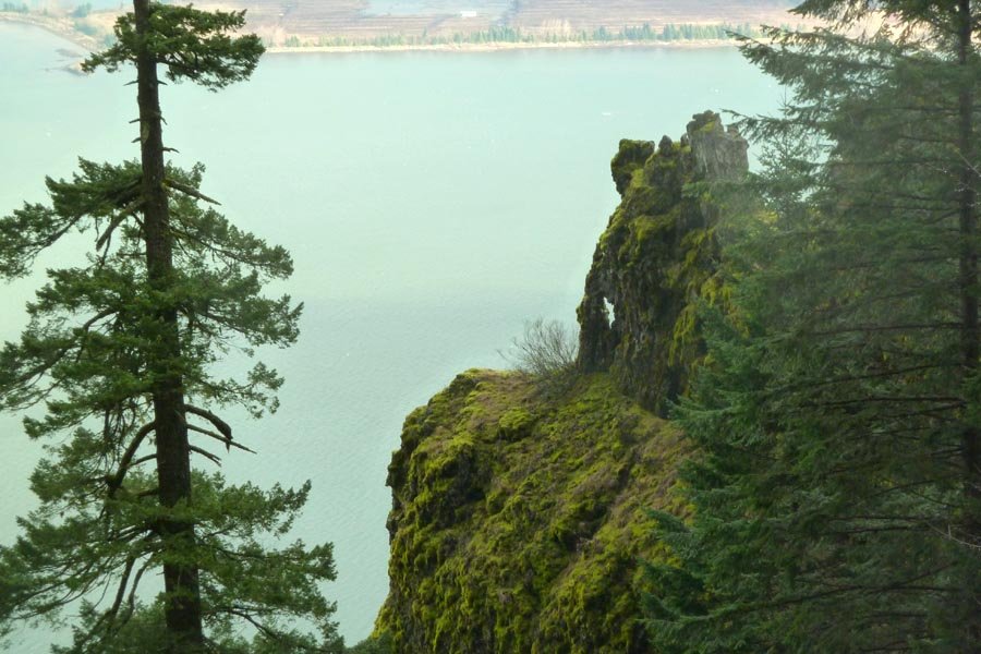
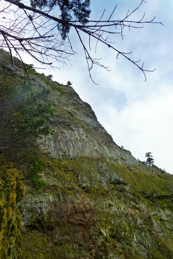
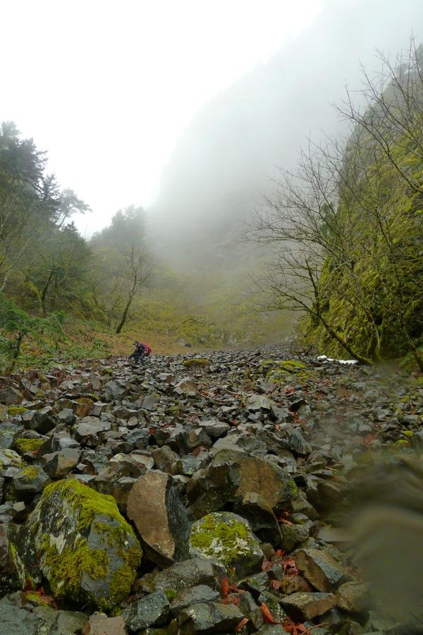
February 9, 2013 Gorton Creek 13 miles 3,500 feet gained
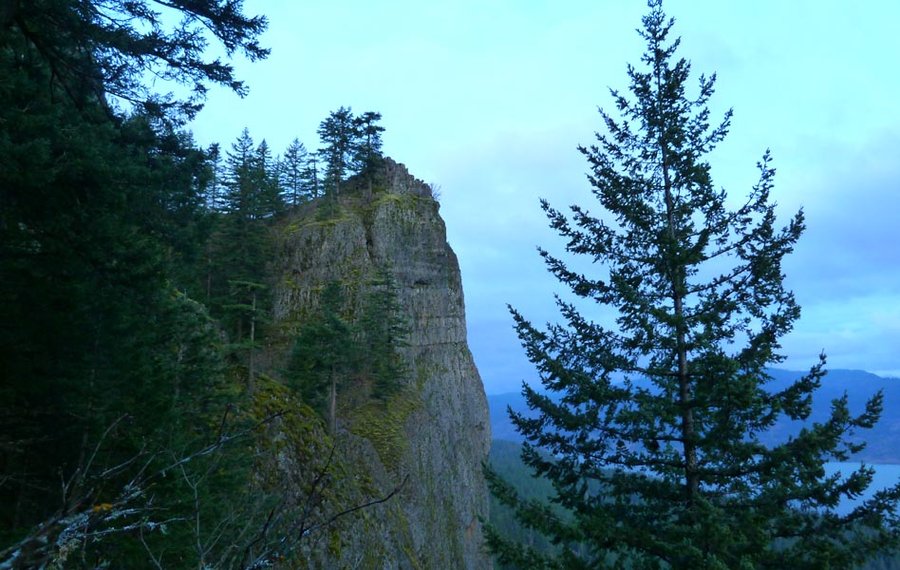
Started at Wyeth. Took the 400 west to a talus field and ascended the left side of a prominent pinnacle (apparently called Wyeth Crown) that I've had my eye on since last June. Some more exciting off trailing than anticipated, excellent views out at the pinnacle, then up its mother ridge to flatter terrain and up near Deadwood Camp. Took Gorton Creek out to ...
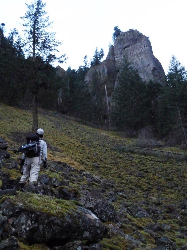
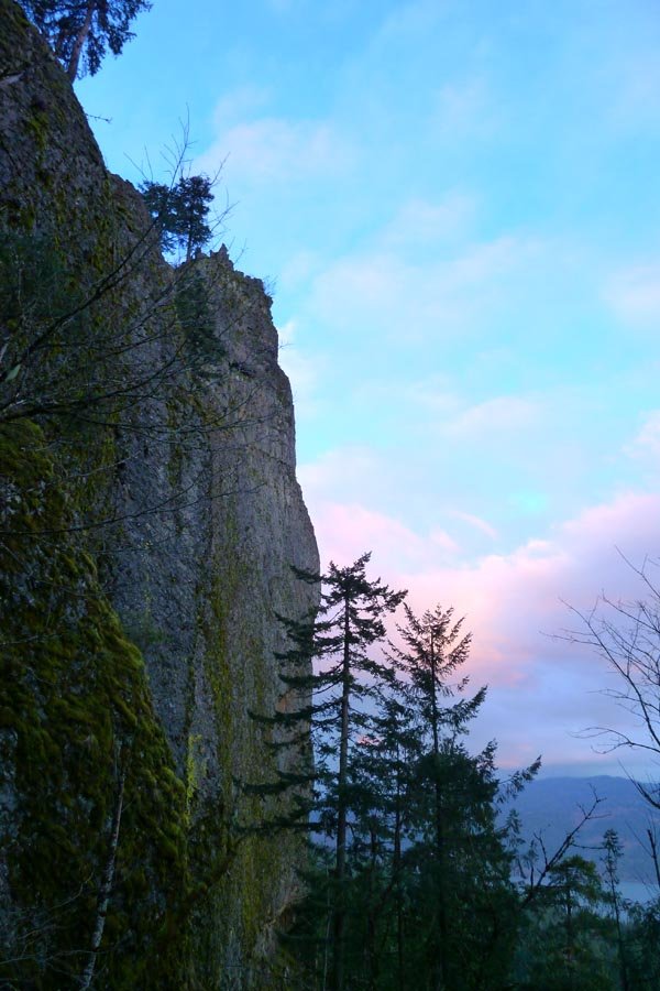
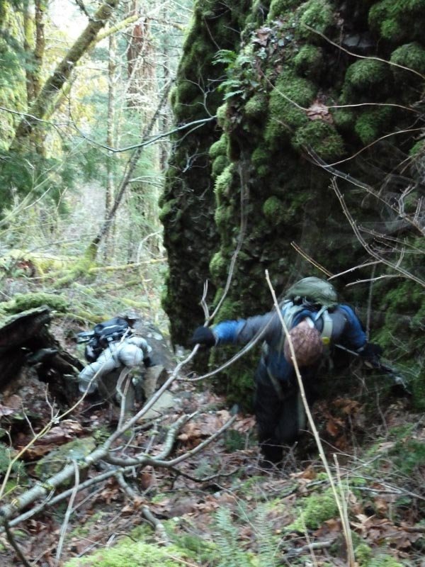
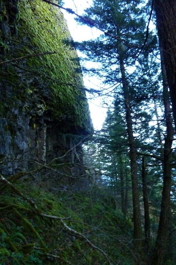
February 2, 2013 Chinidere Mountain 26 miles 5,500 feet gained
Up RR, snowshoed across Benson and out to Chinidere, then down to Wahtum and down Eagle Creek. Slushy most everywhere. Snow on EC trail below E-T jct, surprisingly low elevation. Some ice, but everything is melting out fast. 13 hrs, dark to dark.