Bosterson went hiking Glisan Glacier August 28, 2011 11 miles 3,500 feet gained
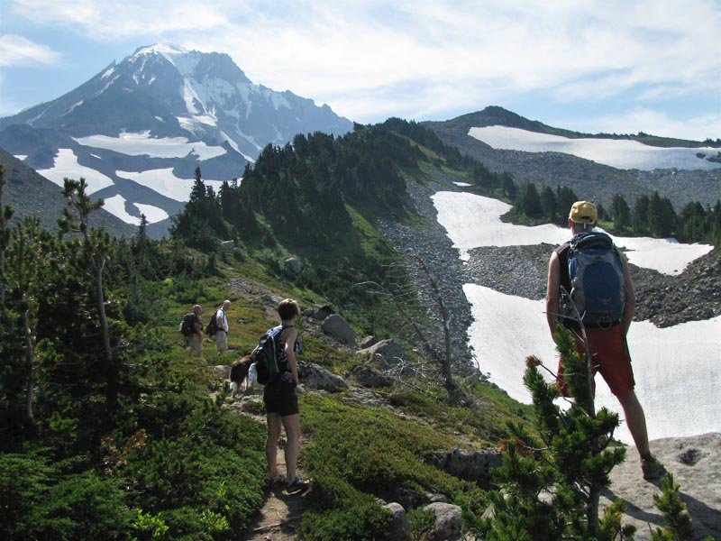
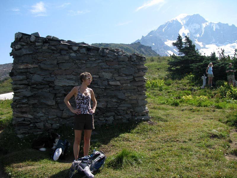
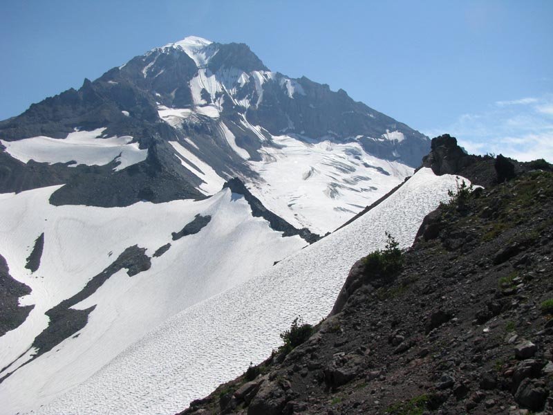
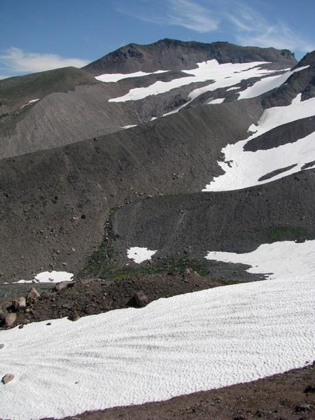
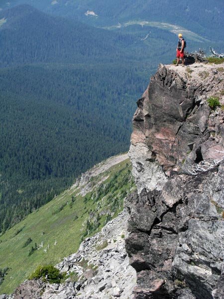
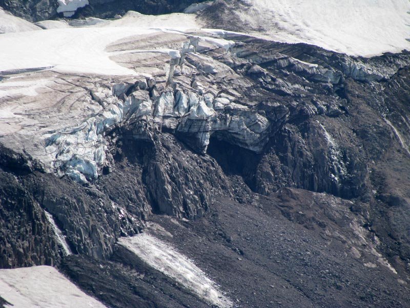
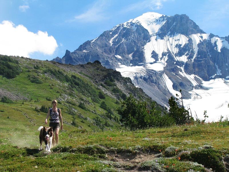
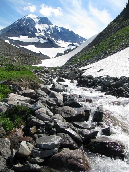
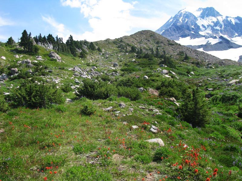
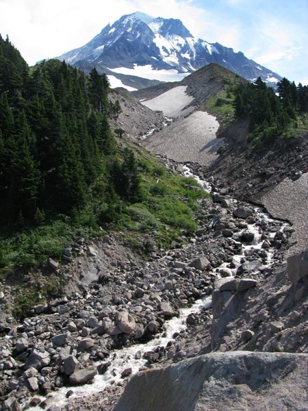
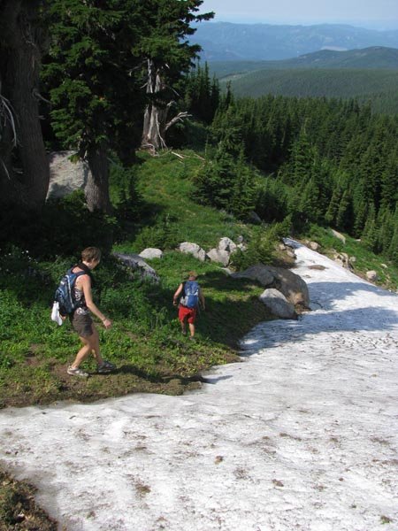
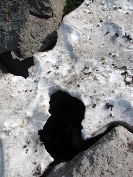
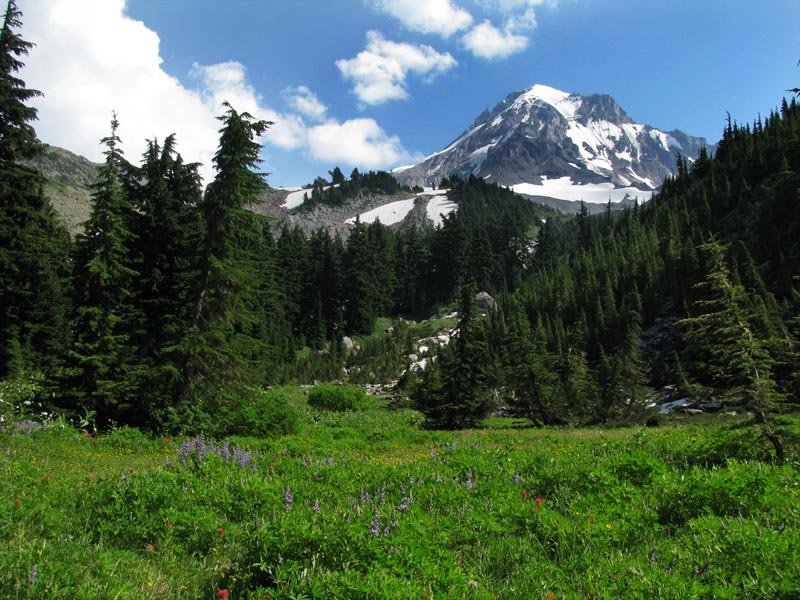
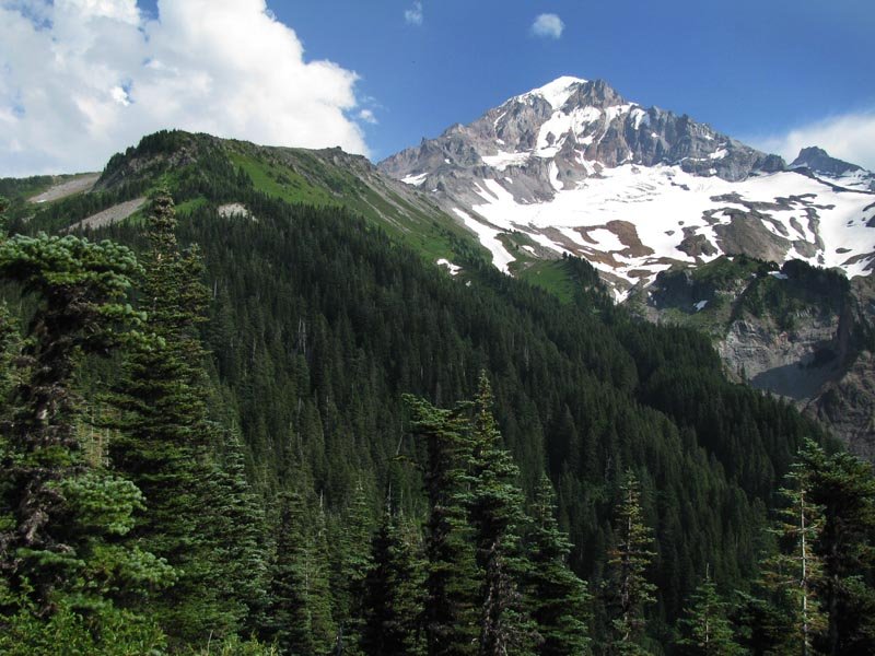
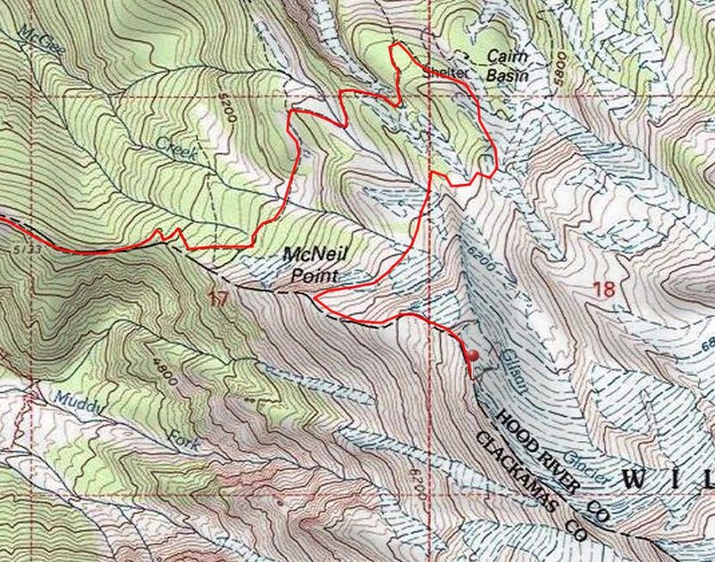
This was originally supposed to be a McNeil Point > Cairn Basin > Barrett Spur hike, but we improvised. Got to Top Spur at 9:30am and the parking lot was totally packed. Went out to McNeil Point shelter, and then up the ridge to the rocky summit at around 6900 ft (NWHiker calls this McNeil Peak). The plan was to backtrack back to the Timberline Trail, follow it to Cairn Basin, and then on to Barrett Spur, but the PH Field Guide map showed a "trail" going from partway down the McNeil trail and cutting across onto the side of Barrett Spur. We veered off on the obvious side trail at the sign back on the lower part of the McNeil trail's lower ridge and crossed the Glisan Glacier's river onto a meadowy area where we started going cross country. After that, it seemed we were going to have to cross another large ravine and river that looked kinda sketchy, and then head uphill off trail, without knowing quite what lay ahead of us, and with our retreat options reduced. At this point it was past 2pm and it seemed kinda foolish to go off adventuring quite so late in the day, so we deduced that we were above Cairn Basin and headed that way. En route I trotted down a large snow bank, and around the moment I realized I was hearing running water below me, my left foot punched through a thin snow bridge, the left side gave way, and I thought I was going to fall through, but somehow didn't (probably would have sprained/broken something!). After that excitement, we relaxed in Cairn Basin and then took the Timberline trail back to the car. I don't have a GPS, so trip stats are estimated.