Roman

104 trips 802.5 miles logged 15 nights out in 2011 Subscribe to updates

Hikes by Roman in 2011

July 29 to August 1, 2011 21.5 miles 4,500 feet gained 3 nights

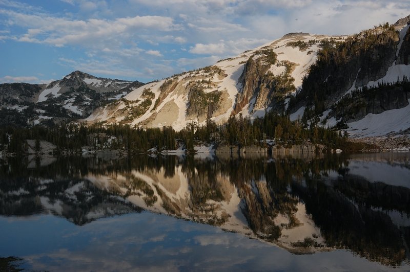
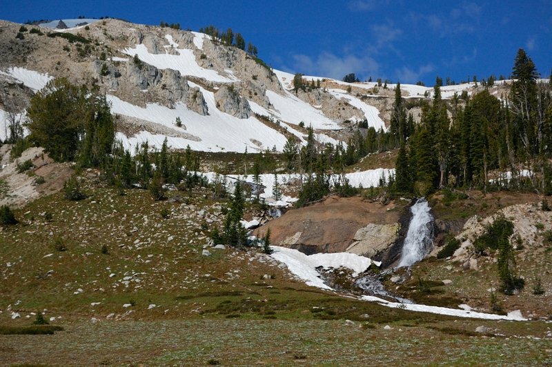
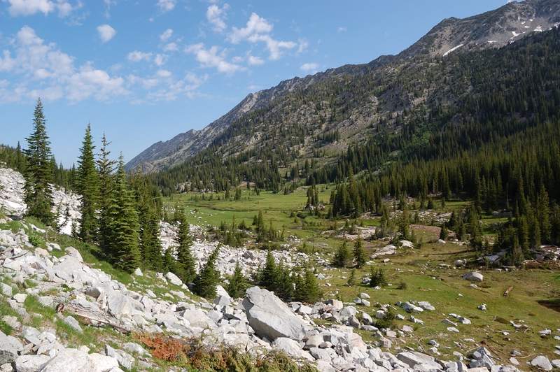
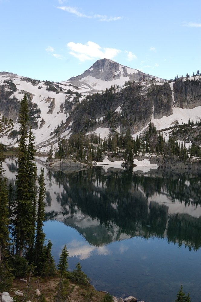
Did a 3-night backpack with my mom in the Wallowas, a completely new area to both of us. Started kind of late on Friday and camped above the first series of the switchbacks and somewhat difficult river crossing. Then we went along scenic Lostine River meadows and stopped about 1.5 miles before the Lakes Basin, remembering reports that this area is famous for...
July 24, 2011 10 miles 2,500 feet gained

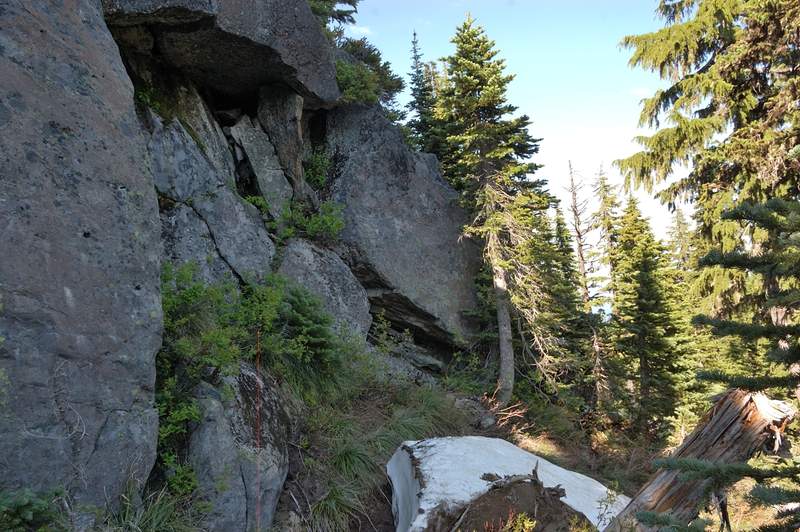
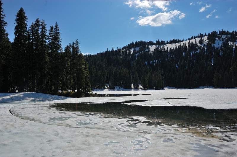
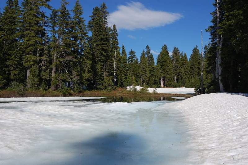
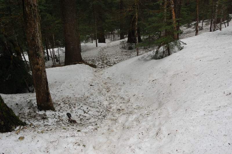
Full trip report is at http://www.portlandhikers.org/forum/viewtopic.php?f=8&t=8760. My guess it will take until late August to melt all the snow in that area. The trail still mostly covered above 4,800', and first patches start at 4,000'. I managed to get lost on the way in (went to Lemei Rock but found myself at Wapiki Lake), and then on the way out (went ...

July 23, 2011 6 miles 2,250 feet gained

Hiked with my parents from North trailhead, via Ed's trail to Star 2 (Star 1, the summit a few feet higher, was too crowded and Star 2 has a better view). Continued south from Star 2 on an faint trail to reconnect with trail 180E, then to the lower summit overlooking a scree field with Indian Pits (kind of saw them). Up on trail 180E bypassing the summit, th...

July 23, 2011 6.5 miles 1,500 feet gained

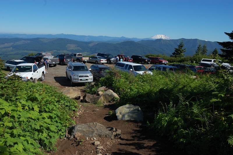
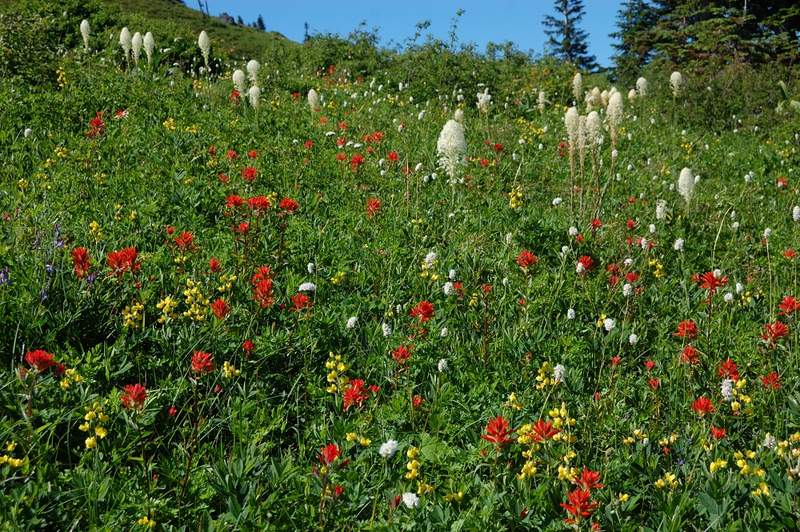
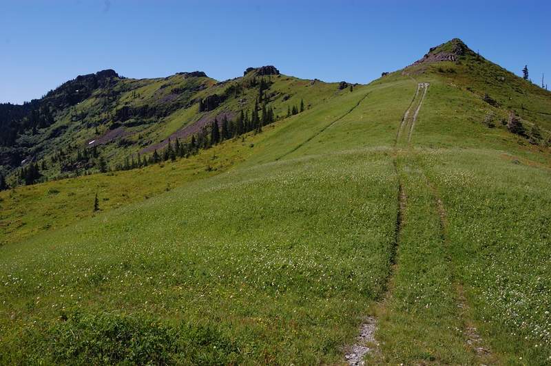
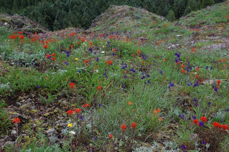
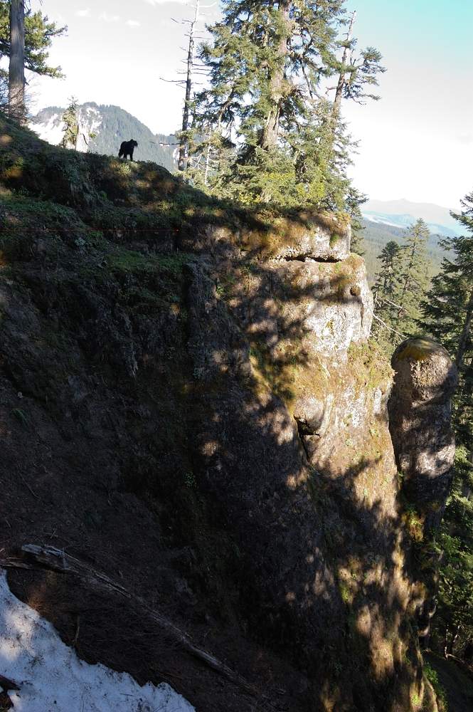
This hike was recently covered in PH.org so I won't go into trail details. We went a bit beyond Grassy Knoll (to Grassy Pass) - the trail follows the ridge up and down, and there are some great wildflower meadows from GK to GP. Flowers are still great, especially higher up. Also saw a lot of recent signs of bear activity - bear poop on the trail, and several...

July 18, 2011 6 miles 2,000 feet gained

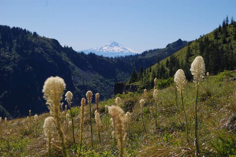
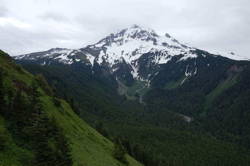
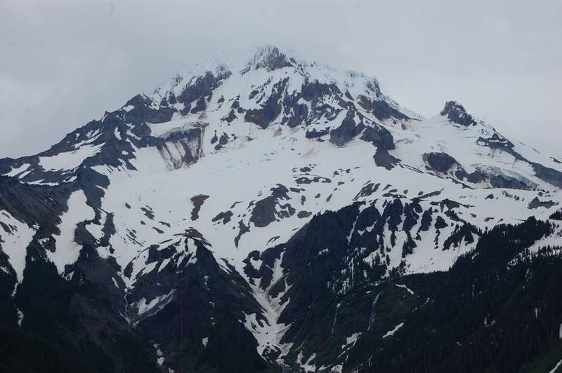
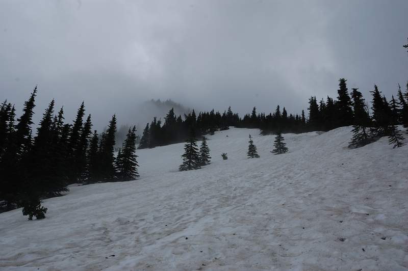
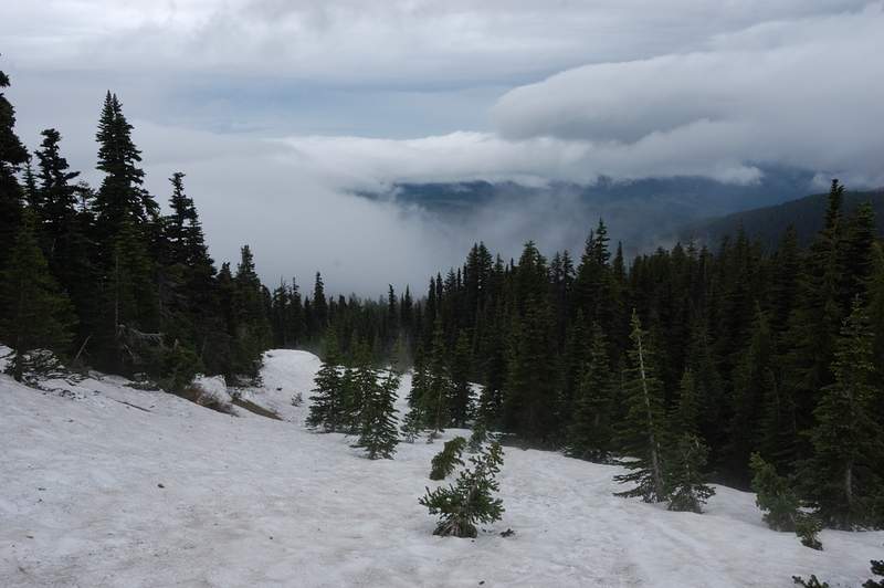
Yesterday it looked rainy in the forecast, but when I checked it today morning weather service said 82F and partly cloudy. Well, let's hike someplace cooler today. I wanted to do McNeil for quite a while (only did Cairn Basin last year) and even though it was a family hike today I hoped everyone will forgive me for snow if I show some great views. To make a ...

July 17, 2011 3 miles 1,000 feet gained

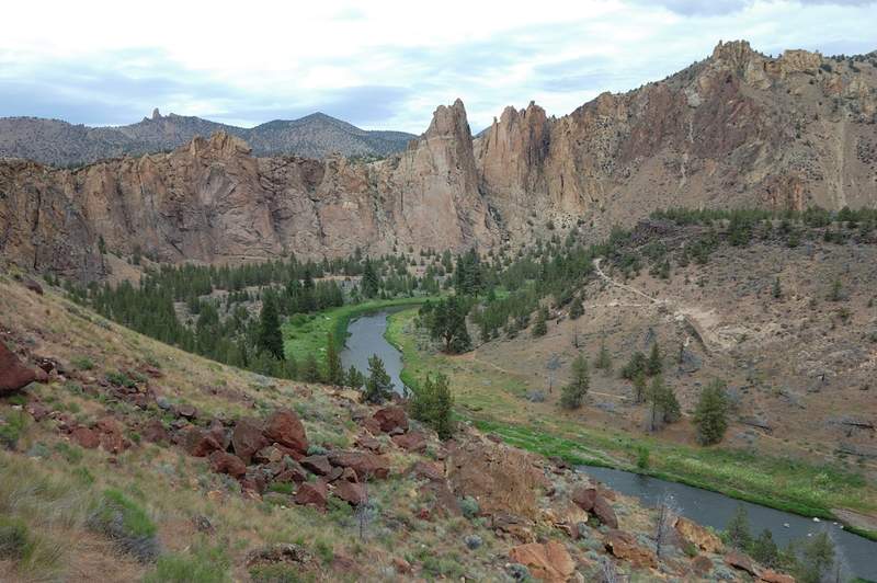
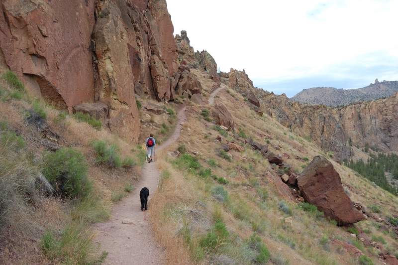
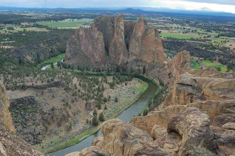
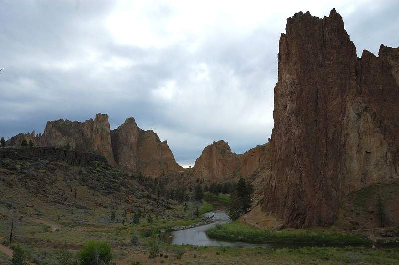
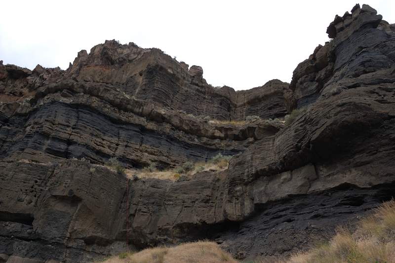
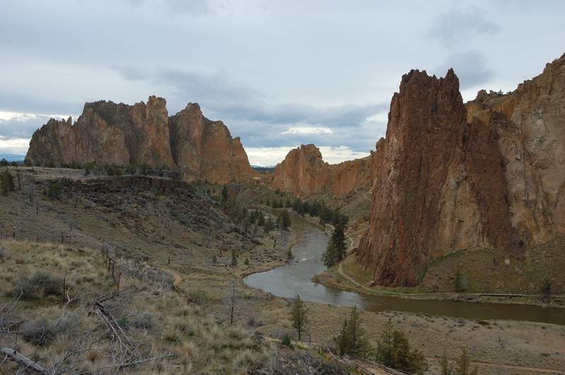
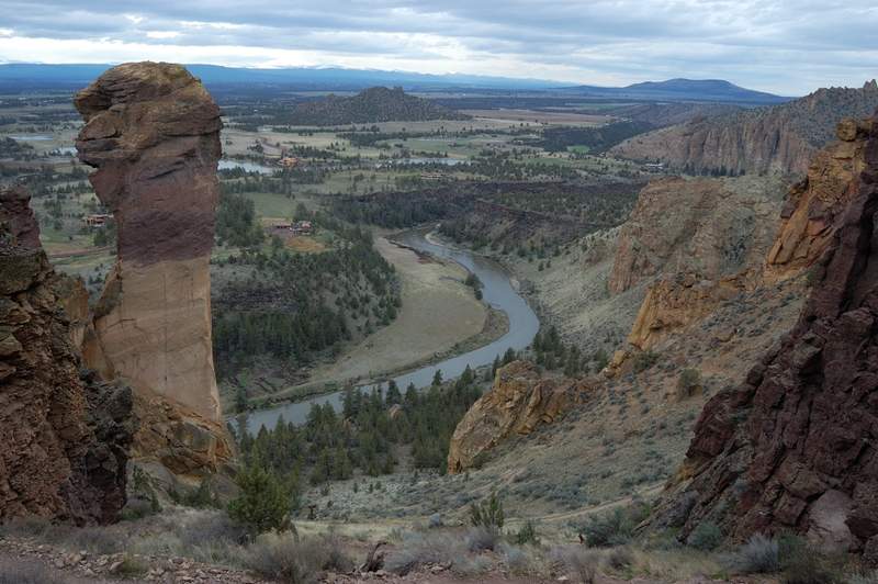
We also went to Smith Rocks - not the whole loop (too crowded), just up and down the steep side of Misery Ridge.

July 17, 2011 2.5 miles 750 feet gained

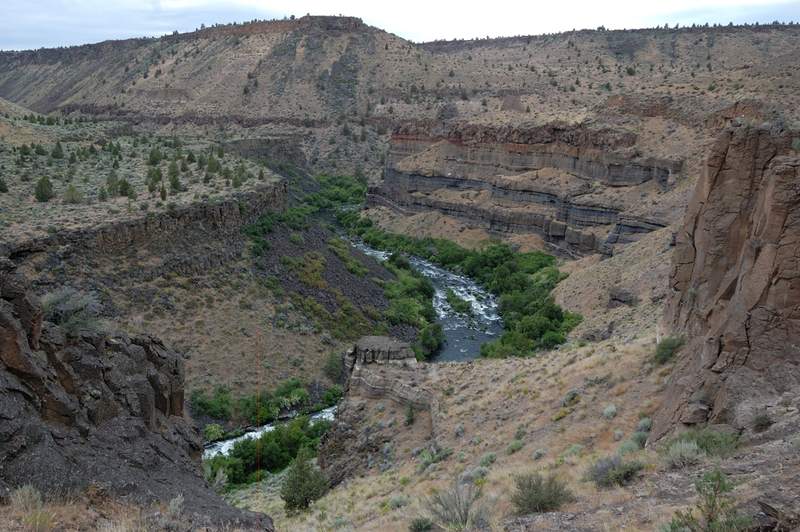
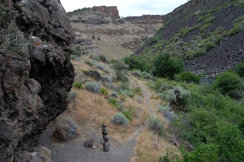
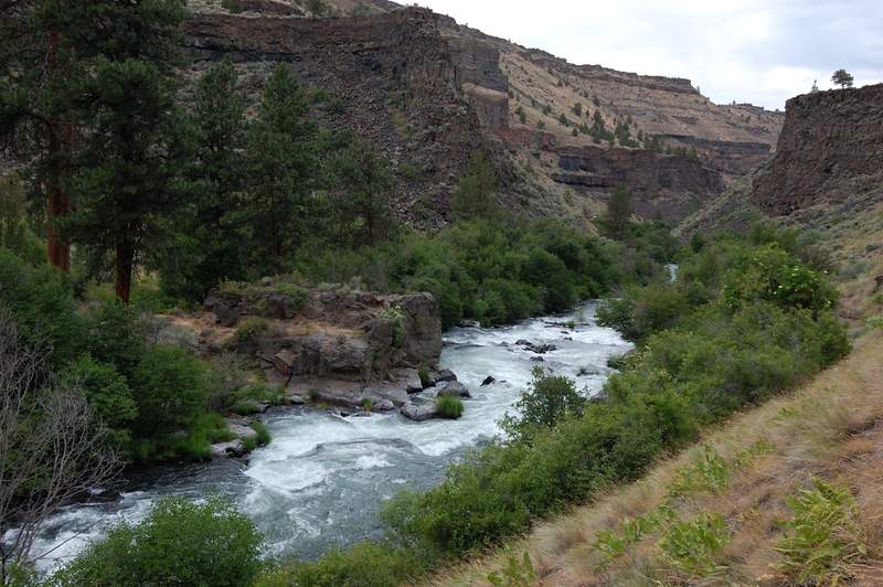
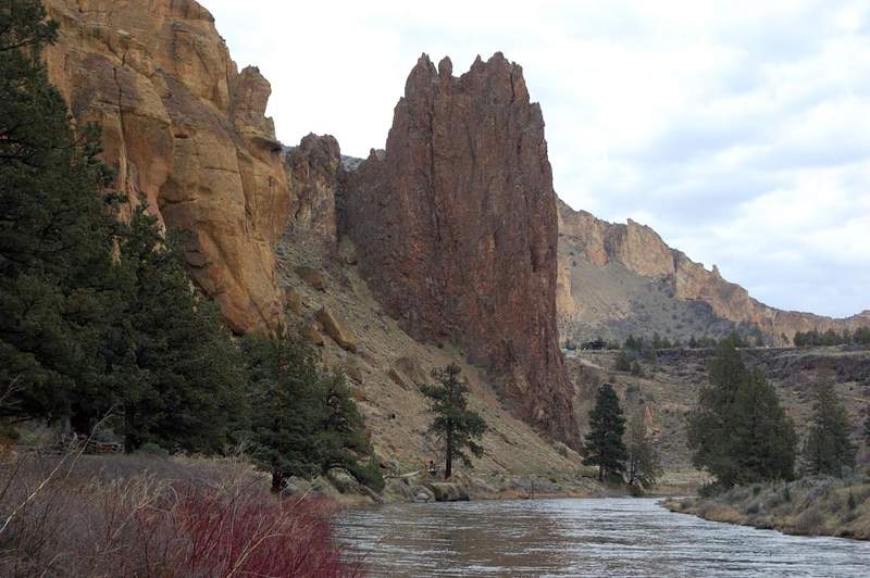
Short, steep, and fun loop trail down to Deschutes River. Overcast weather was much appreciated - I can guess how hot it becomes during a sunny summer afternoon.

July 8 to July 10, 2011 18 miles 4,750 feet gained 2 nights

Just off a nice little loop in Badger Creek Wilderness. Day 1: got 7pm start and went up School Canyon trail (despite the name, it's all near ridge top and a lot of views - great trail) and camped near the only spring between the trailhead and Flag Point).The marker on the map shows my camp site. Day 2: up and down Flag Point. This section of trail has some ...

July 4, 2011 4 miles 1,750 feet gained

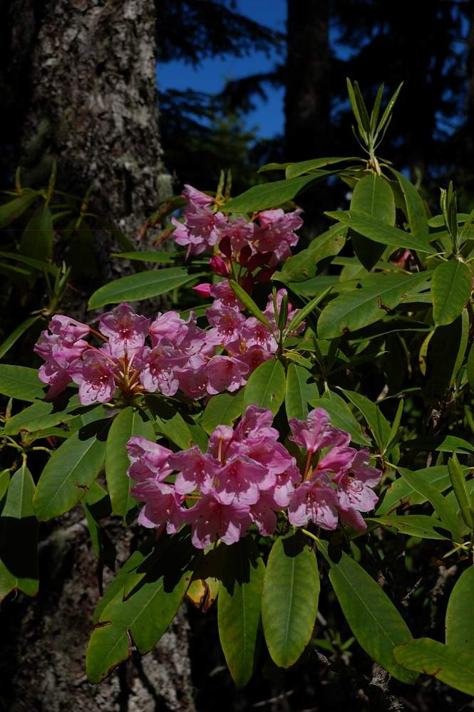
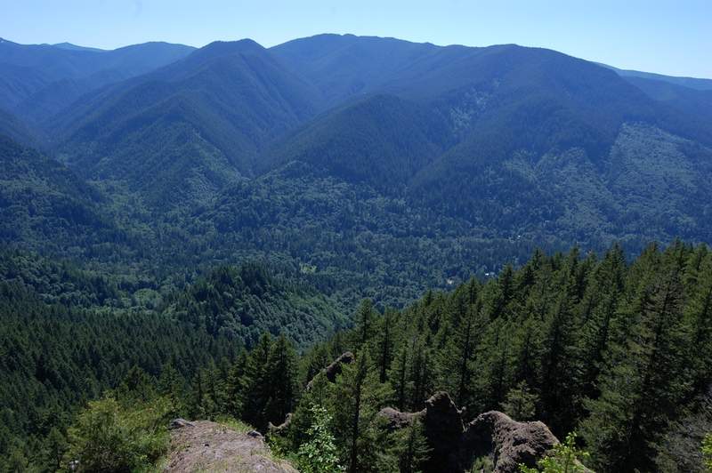
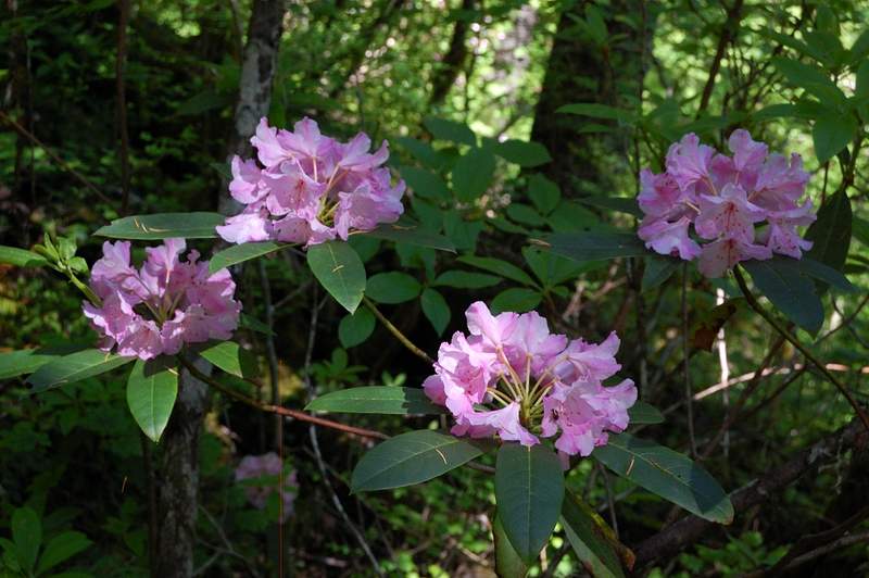
Took my Mom to Hunchback Mountain. This trail is steep in places, but very nice once you gain the ridge. Rhododendrons are nice right now.

July 2, 2011 3.5 miles 1,750 feet gained

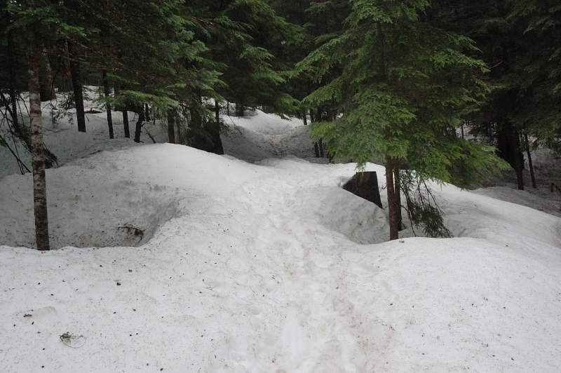
In short - too much snow starting at 3,400 feet (!). There were patches of snow along the road to the trailhead (around 3,000'), and once you cross the creek near Blue Lake, the trail is mostly covered with up to 2-3 feet of snow. I lost others' boot tracks 1/4 mile after the creek crossing (tracks are hard to see on dirty snow), and since I don't know that ...

July 1, 2011 7 miles 1,000 feet gained

Did this hike a third time this year, but the first time in a gorgeous weather like this. We hiked to the first canyon viewpoint. Lots of flowers on the viewpoint. The trees now hide the view of one of the falls (Final Falls?) that was visible from the viewpoint in winter. The trail was surprisingly uncrowded for the beginning of 4th of July weekend.

June 24 to June 27, 2011 27 miles 3,500 feet gained 3 nights

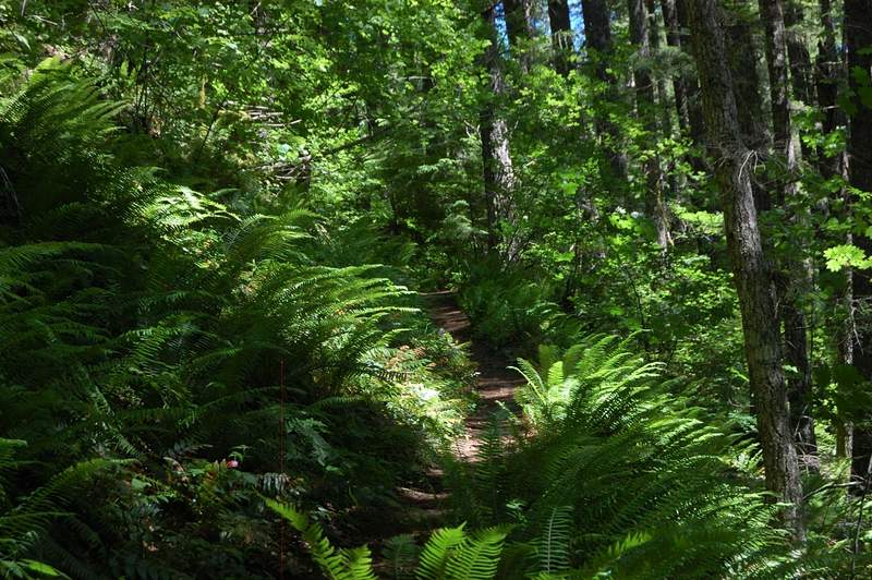
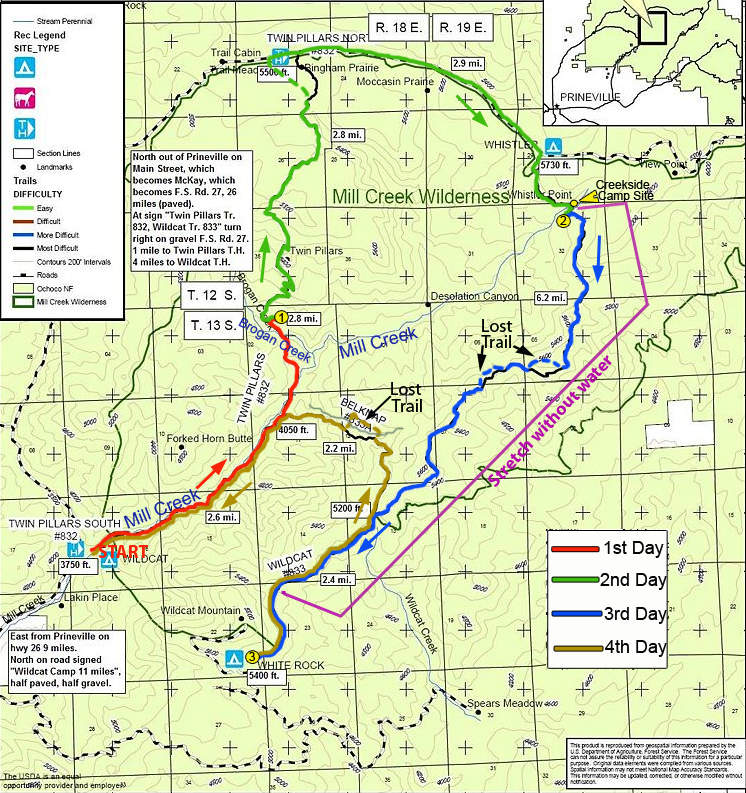
Last May I did a hike to Twin Pillars, and since then wanted to do a whole 27-mile loop which covers all trails in this small wilderness. I planned the trip in May, but the combination of late snow and finals held the trip until now. The conditions were uncertain - on one hand the trail to Twin Pillars was overgrown with brush last year (and it's the most po...

June 20, 2011 7 miles 2,750 feet gained

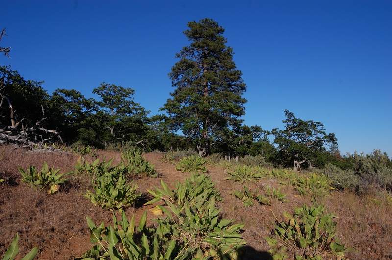
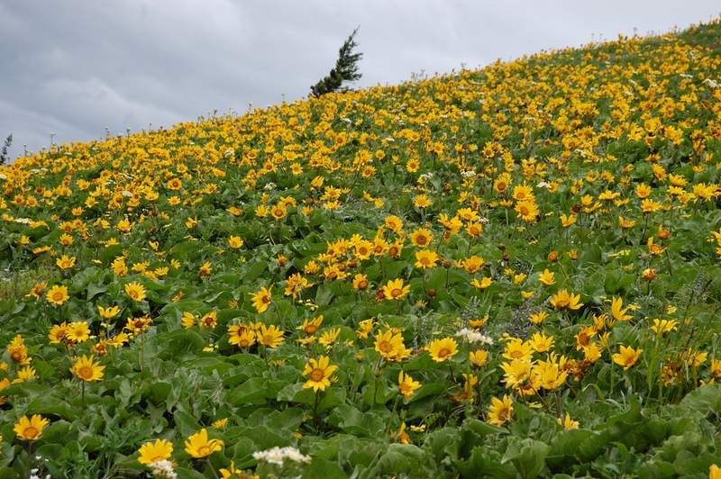
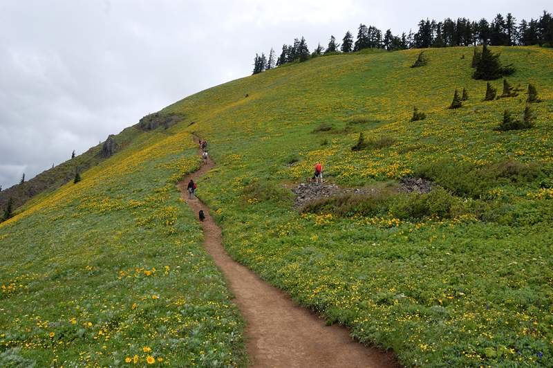
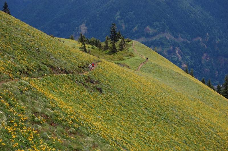
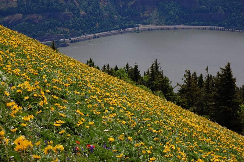
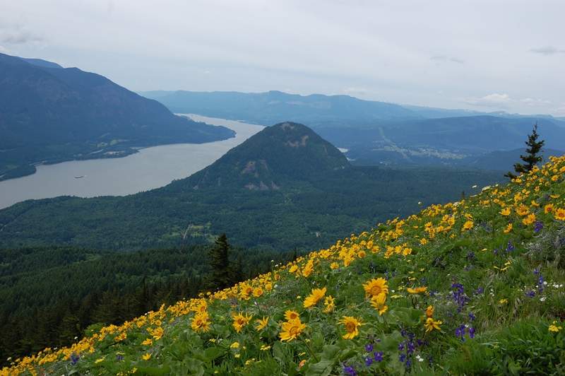
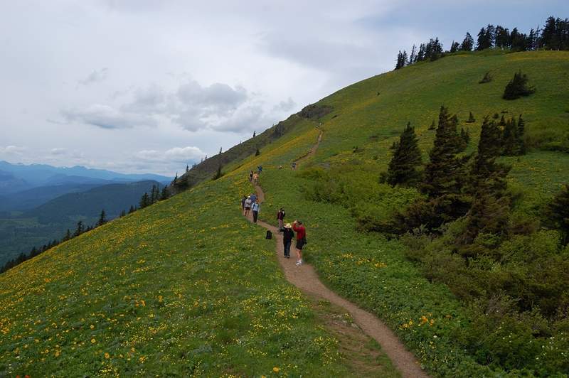
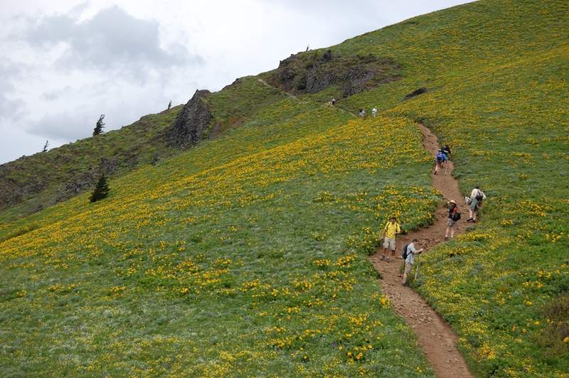
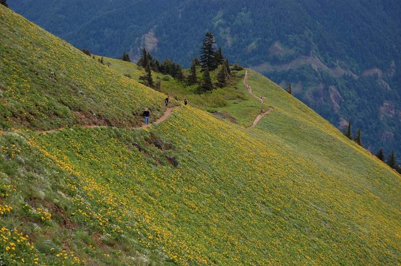
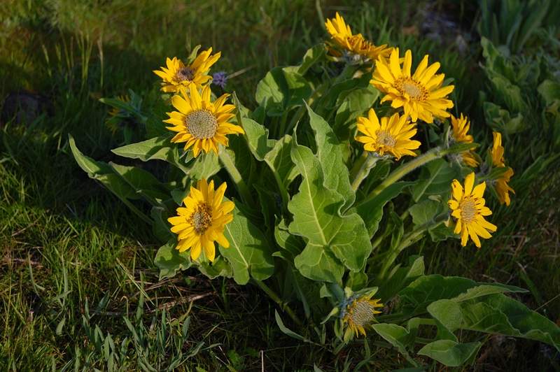
Made another hike up Dog Mtn this morning (BTW I've officially graduated so Monday will be my hiking day!). Balsamroot is very good, but beginning to fade. The meadows are yellow all the way to the summit now.

June 19, 2011 9 miles 3,000 feet gained

Was going to hike Middle Salmon River trail, but when I got there decided to do something less crowded and continued 1/3 mile to a new Salmon Butte trailhead. I've never done this hike before but read on Portland Hikers that the road to an old trailhead had been decommissioned and blocked just after Salmon River crossing. Making calculation on Kyle's map, th...

June 12, 2011 7 miles 2,750 feet gained

Balsamroot is at the peak right now. Many other flowers as well. Even though the cars were parked in 4 rows at trailhead (we parked at the shoulder just east because parking was completely crammed) it didn't feel too crowded on the mountain, probably because it's not one trail but three.

June 3, 2011 8 miles 3,250 feet gained

Hiked East (Heartbreak Ridge) trail up, then West trail down (some people call it Windbreak Ridge). East trail has little views and LOTS of small biting flies (gnats?). West trail was in the open most of the time and almost bug-free; I'll use it up and down from now on. Only a few snow patches under the trees on the summit. Many flowers, especially glacier l...

May 28, 2011 5.5 miles 750 feet gained

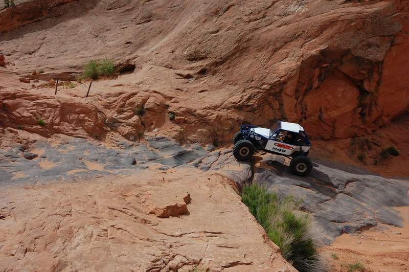
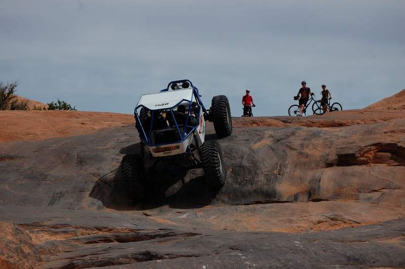
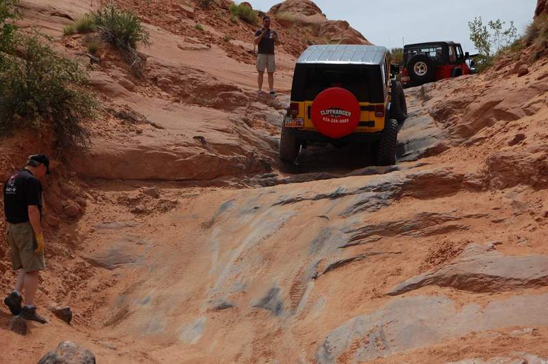
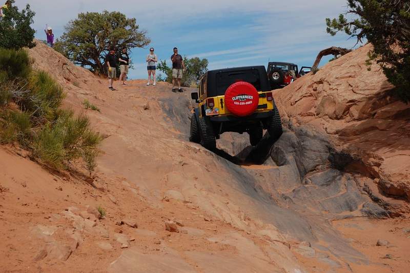
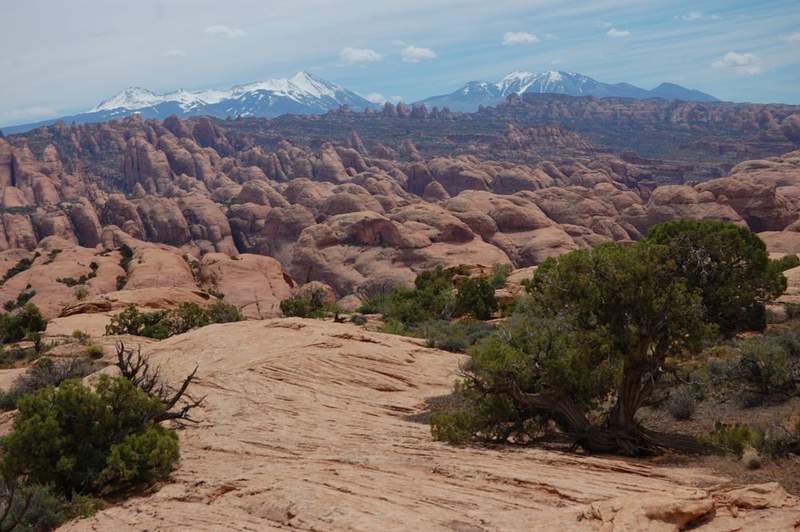
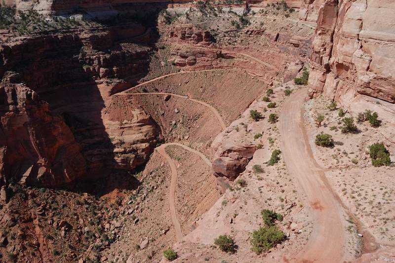
It was not a trail I intended to hike, and not a trail at all. Since my parents didn't plan to hike that day I asked to drop me off at a trailhead and let me hike for 3 hours. The trailhead was supposed to be 4 miles from UT 191 but when we got there it was a vertical wall... We found a trailhead at 6.5 miles and I was on the way on what turned out to be 4WD...

May 26, 2011 5 miles 250 feet gained

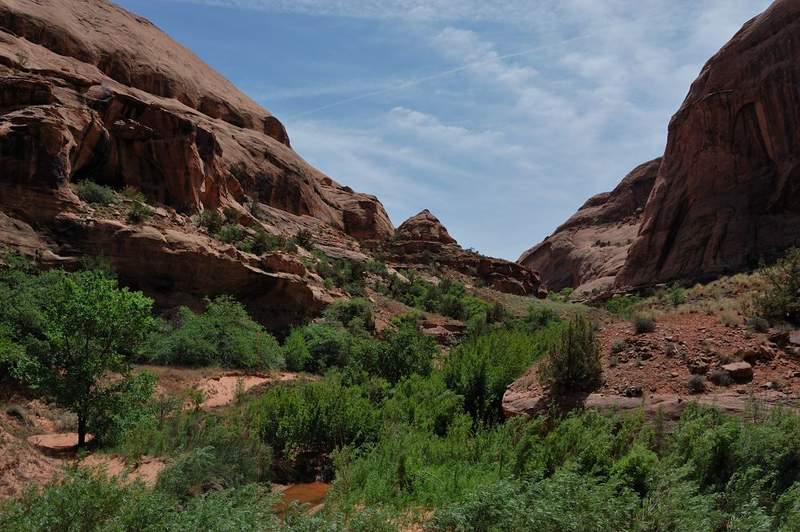
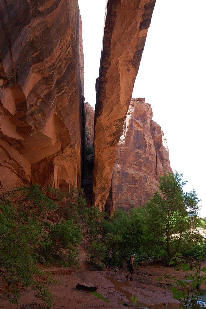
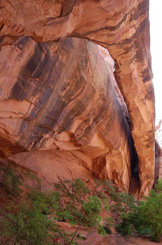
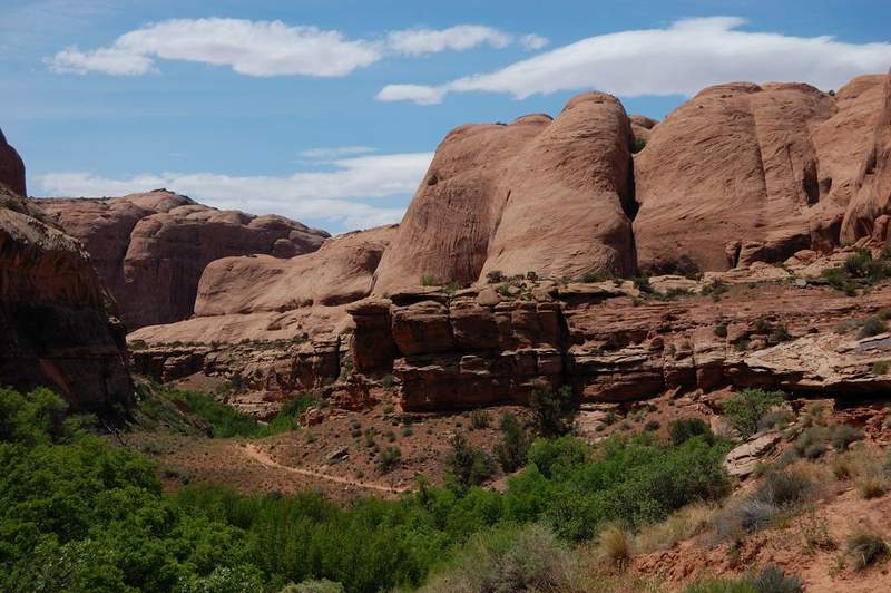
Lush green canyon (even by Northwest standards) just East of Moab. We got our feet wet during creek crossings (I counted nine). We got to Morning Glory arch in the afternoon so it was already in the shade, but the place is quite beautiful, with cool shade and a creek flowing out of rock. On the way back we explored another side canyon a bit.

May 25, 2011 2.5 miles 500 feet gained

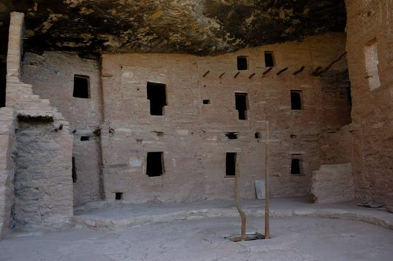
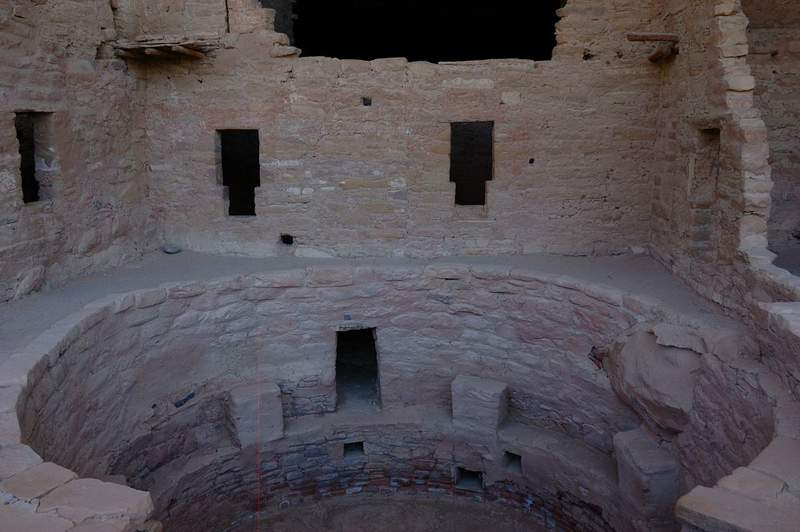
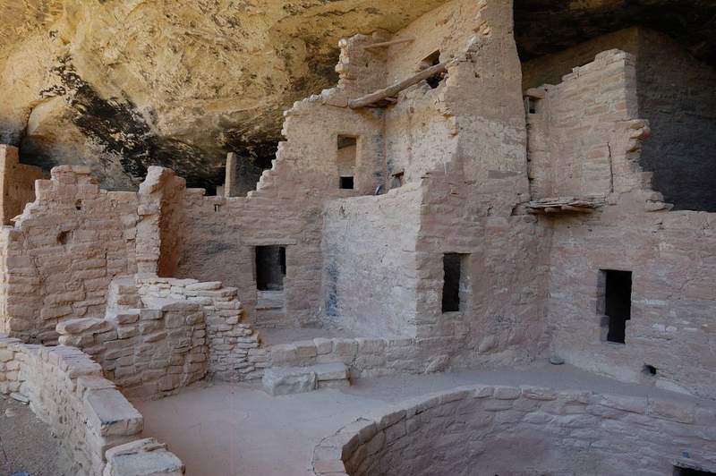
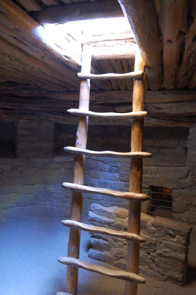
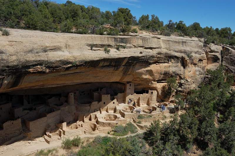
Since we weren't too far from Mesa Verde NP, we decided to give it one day. This is small park & not a lot of trails there, but it is famous for a large concentration of Indian ruins, most are well-preserved. Pueblo Indians built small "towns" in huge caverns on the sides of the canyons. What came to a surprise is that once you pay the entrance fee, you have...

May 23, 2011 2 miles 250 feet gained

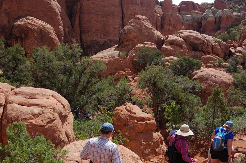
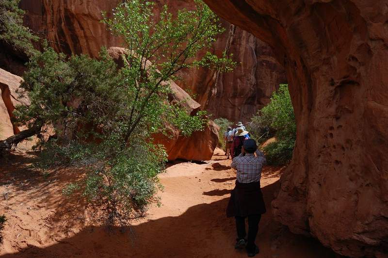
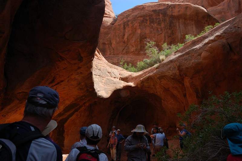
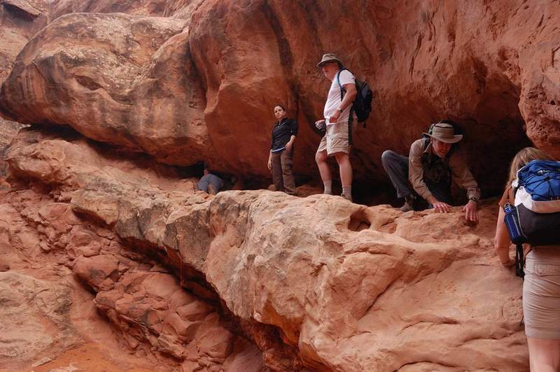
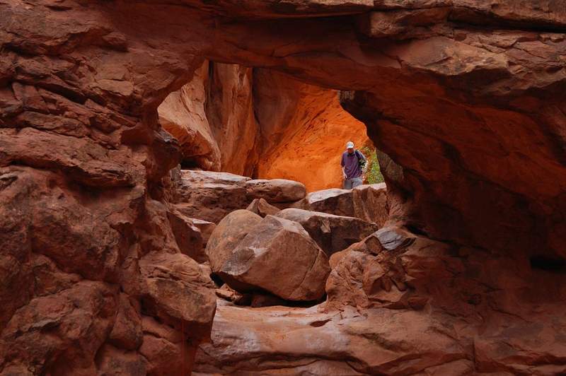
Went there with my family on the same day I did Corona Arch. Even though Fiery Furnace is very easy as a hike, it was one of the most entertaining hikes I ever did. They advise to do it for the first time in a ranger-led tour, and now it makes sense. First-time hikers doing it alone would wander aimlessly and miss most of interesting features. Most of the ti...

May 23, 2011 3 miles 500 feet gained

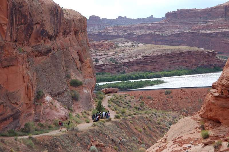
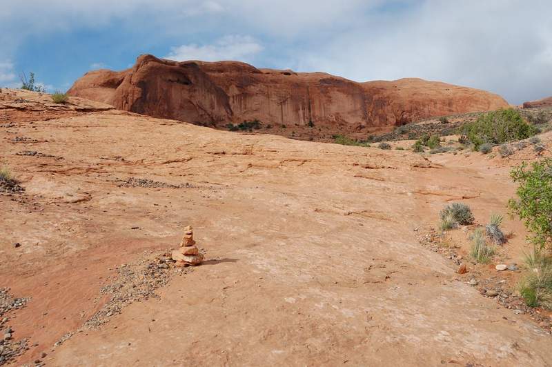
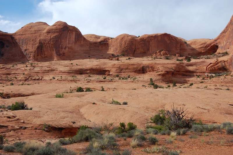
Short evening hike after a trip to Fiery Furnace (will post that later). The hike is not in national park; it starts near Colorado River just SW of Moab. The weather started very windy and rain at times at times so I did this hike solo. Of course, by the end of the day the weather turned gorgeous. The desert is nice right now, lots of flowers and not hot. Go...

May 21, 2011 3.5 miles 750 feet gained

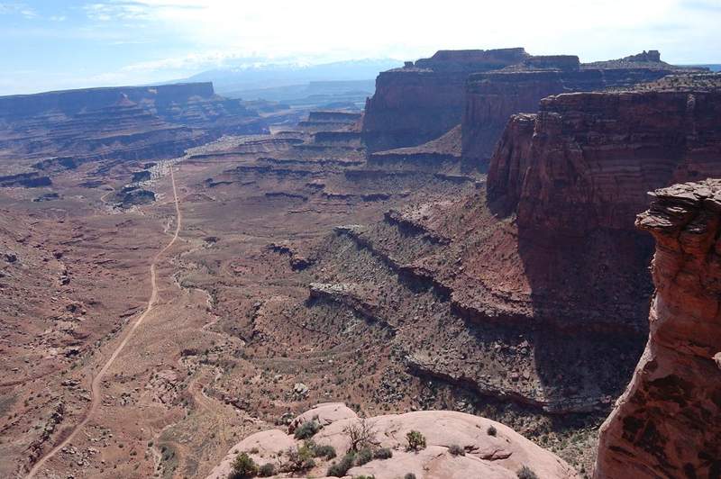
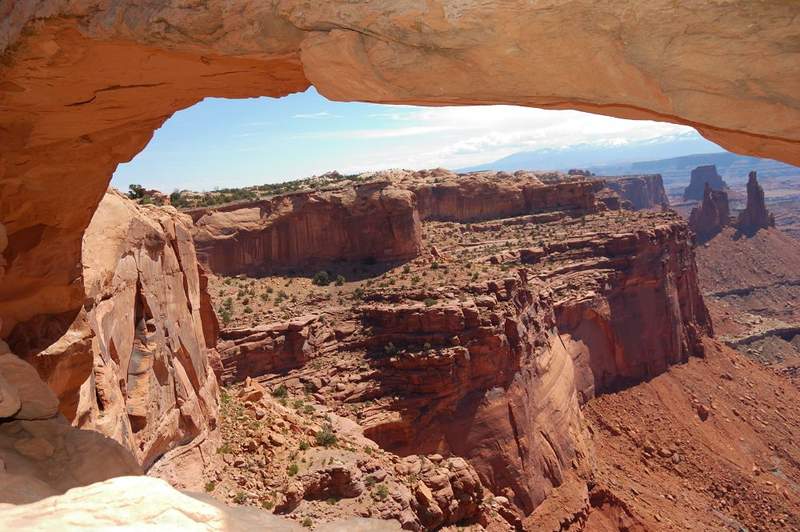
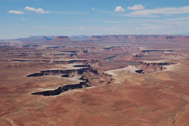
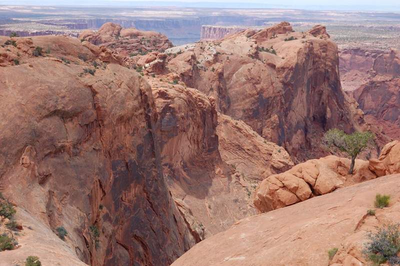
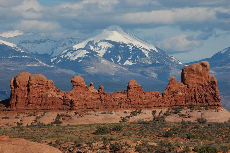
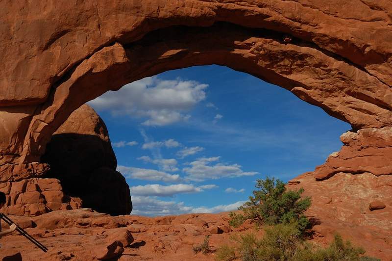
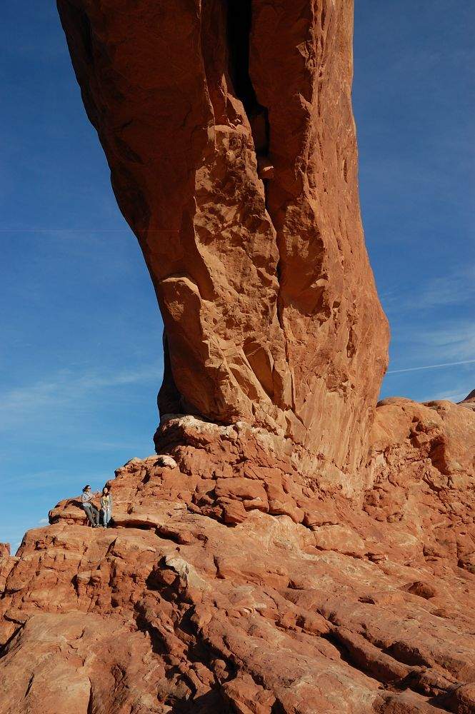
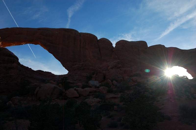
Went with my family to Arches/Canyonlands for a week. We managed 3 short hikes today: 1. around N and S Window arches (they are huge - i got people under onr of them for a scale), 2. We got "lost" for half an hour trying to make a short cut to the trail to Delicate Arch(had to park 1/4 mile down the road due to overfilled parking and didn't want to go along ...

May 14, 2011 14 miles 4,000 feet gained

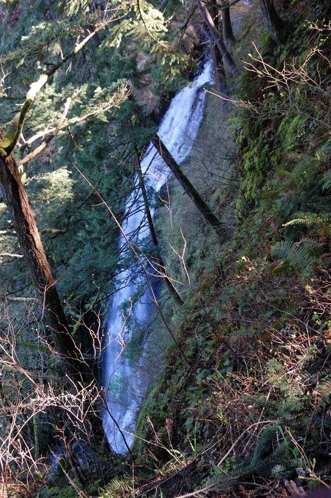
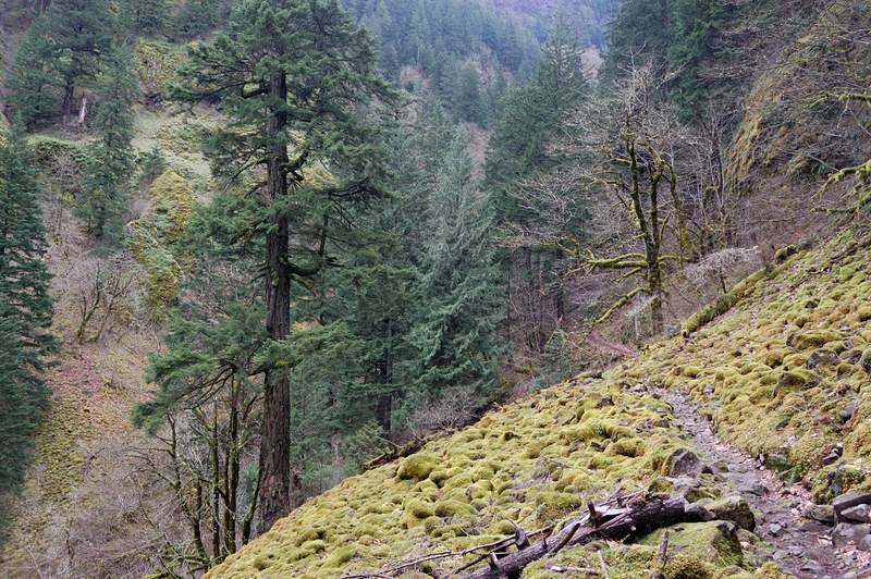
Hiked from Multnomah Falls to Larch Mountain. Almost 8 hours - what a day! I only did the bottom and the top of this hike before, so it was good to finally do it all. The hike started with the usual mob scene at Multnomah Lodge, and the crowds didn't thin out much until the junction with a trail to Wahkeena. While I made a brief stop to take Ecola Falls pict...

May 13, 2011 4.5 miles 1,500 feet gained

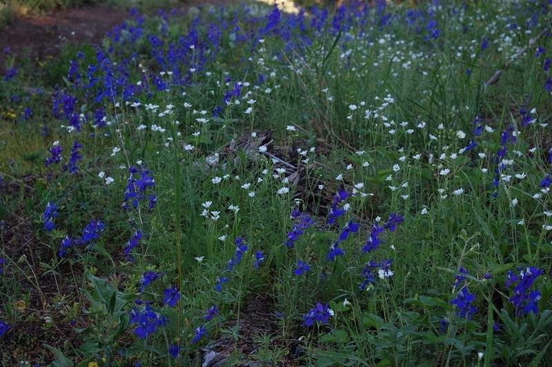
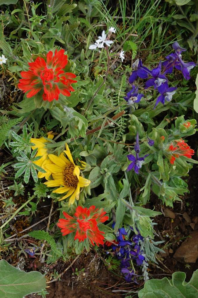
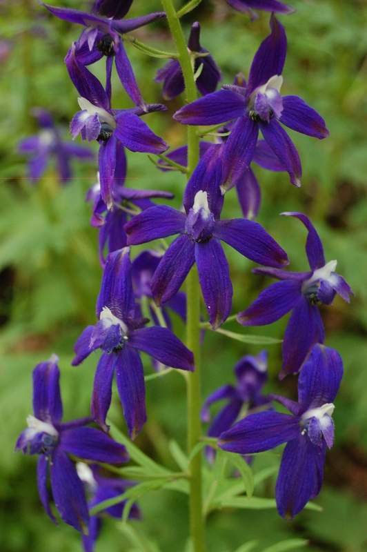
Quick evening hike - there was nice weather, nice views, profusion of larkspur...
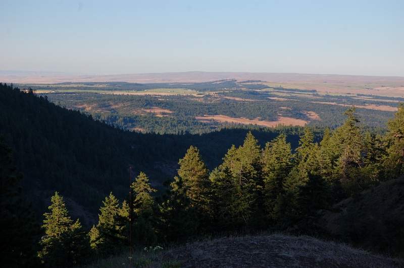
May 9, 2011 3 miles 250 feet gained

Usual stuff - lots of dirt on trail, complete solitude. I can't say why but studying there is much easier than studying at home.

May 5, 2011 7.5 miles 1,000 feet gained

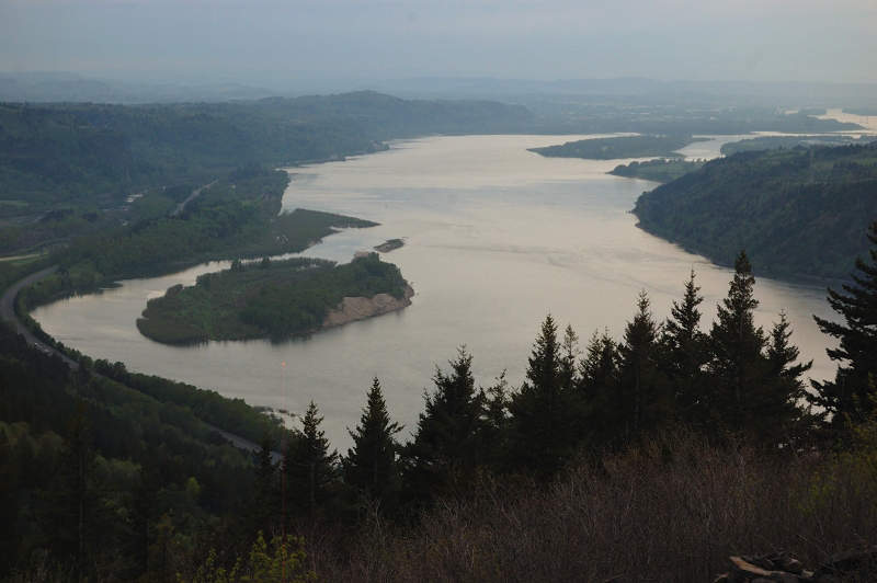
Another hike with my dad (I hope he takes on hiking). We went to the canyon overlook. Beautiful trail, I want to camp there when I'm finally done with my classes.

May 4, 2011 4 miles 750 feet gained

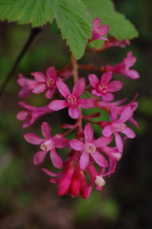
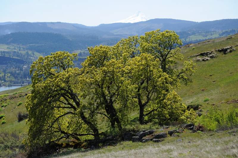
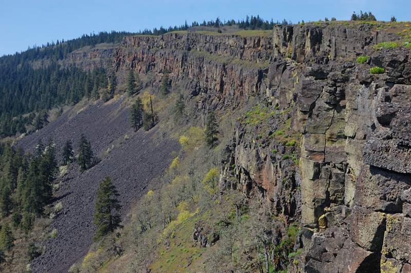
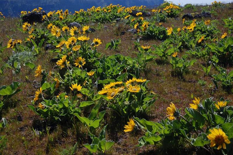
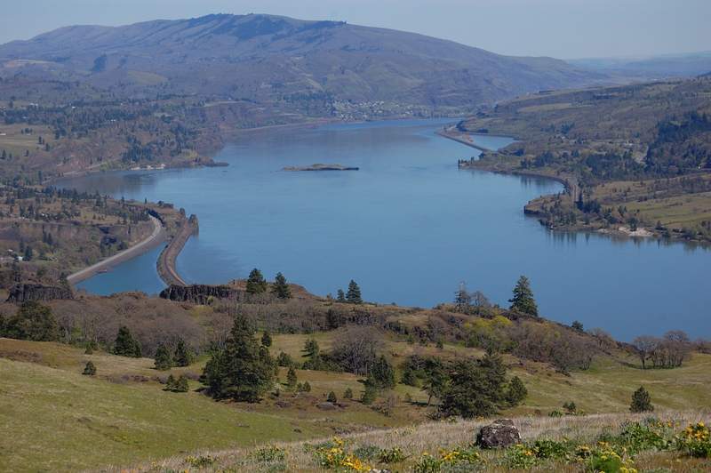
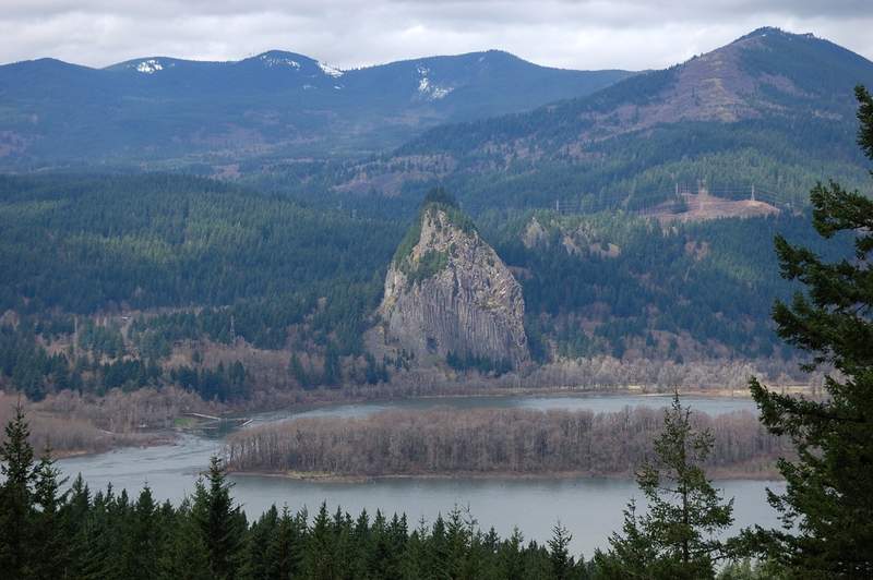
My dad had a day off (and I have short Wednesdays) so we headed to Hood River to take some pictures of blooming gardens. However, we were at least a week early; the trees just begin to bloom. We headed to nearby Hood River Mountain and it was a treat - I never seen so little people there. There were just 3 cars at trailhead when we started. Instead of making...
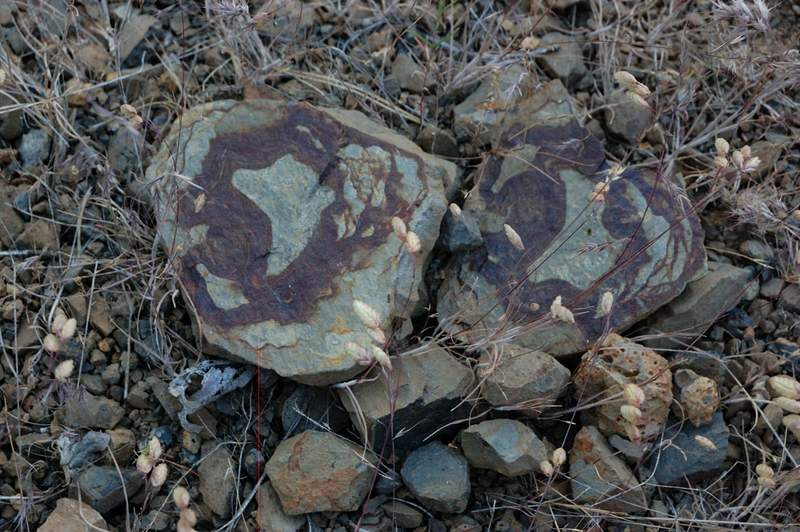
May 1, 2011 7.5 miles 1,500 feet gained

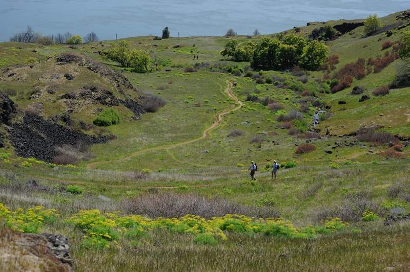
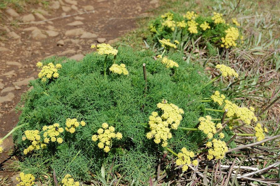
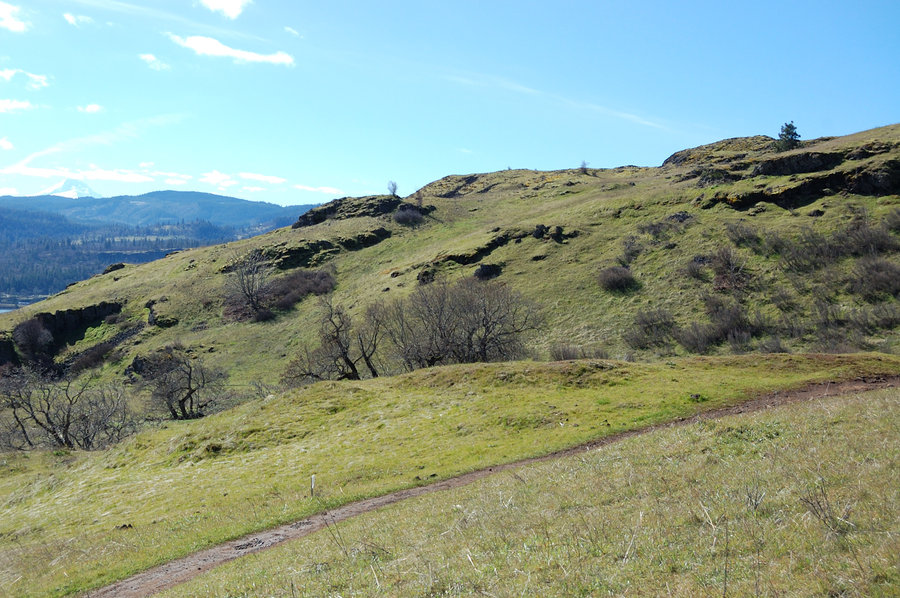
Did a loop through Labyrinth first, then down Coyote Wall on Wizard and return via Coyote Canyon trail. The way I planned didn't work out (it's Labyrinth after all) but still a great hike, it definitely felt like summer today! There was a lot of desert parsley in bloom, many others, including balsamroot.

April 29, 2011 10.5 miles 3,750 feet gained

On the way to Nesmith Point, it started fairly warm near the trailhead but became quite wintry higher up. Fresh snow (it probably fell in the last 2 days) started above 2400', it varied from none under big trees to 4-6 inches in the open. It will melt pretty quickly though. I mostly missed rain, except that it was "raining" and "snowing" from the trees. Some...
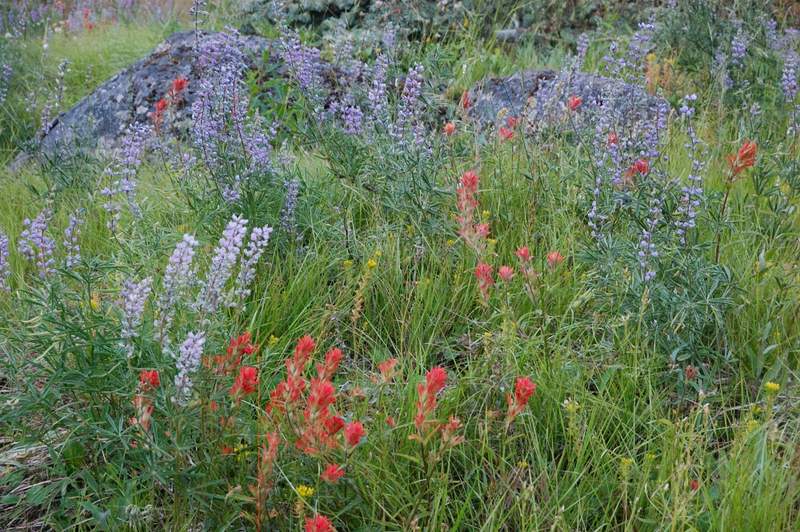
April 24, 2011 3 miles 250 feet gained

Needed to study for finals away from distractions, so I chose a hike with no crowds and a picnic table in nice meadow. This is a horse park so there were tons of mud. I managed to read a textbook under rainjacket cover, but rain finally drove me off earlier than I planned for.
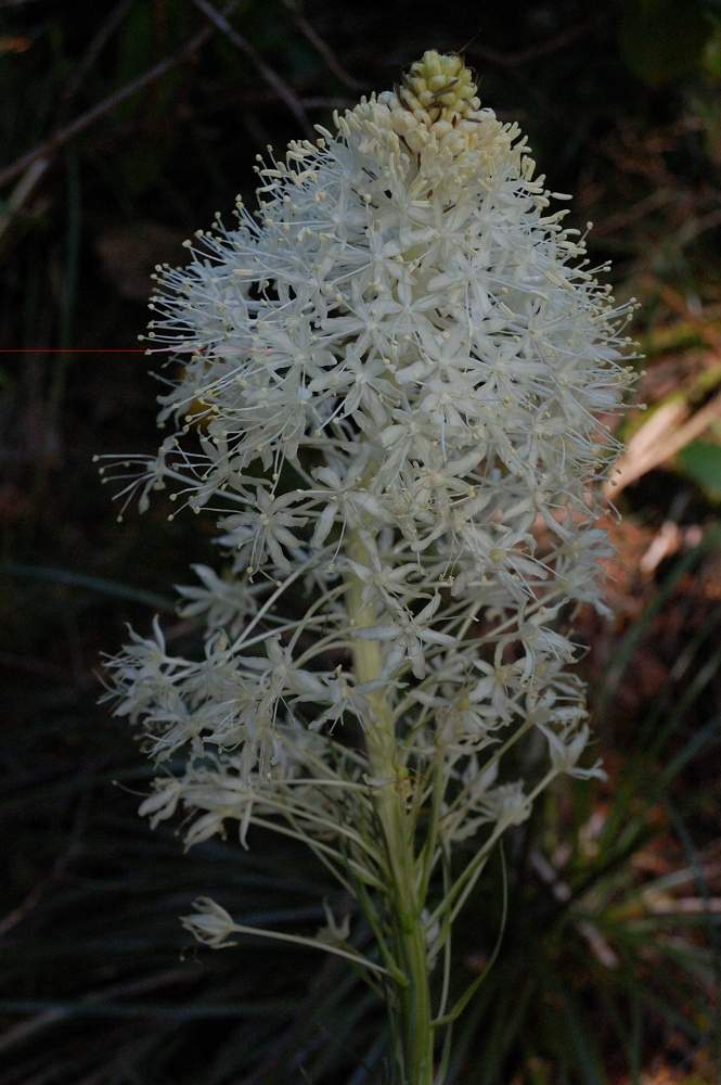
April 20, 2011 8 miles 3,000 feet gained

Quick hike to Indian Point after work. When I arrived about a dozen cars were parked, but all people were already coming back so I had it to myself after 1.5 miles. Did the loop counter-clockwise. The lower part of the trail is ho-hum, but the upper part is interesting (and steep). I only downloaded a map from NWhiker.com and didn't read description, so the ...
April 16, 2011 9.5 miles 3,000 feet gained

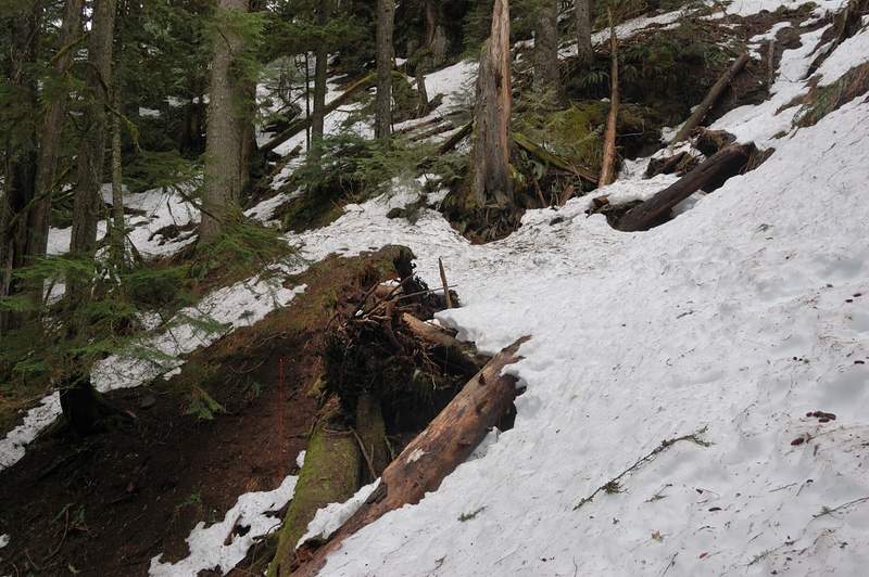
Hiked today from Tooth Rock trailhead to Tanner Ridge to about 3,200 elevation. It rained first 4 out of 5 hours of the hike, but this means having all trail to myself so it was good :) I took snowshoes but didn't use then at all - the snow started at about 2,900 feet (just above the junction with a small trail to Wauna Point). Snow wasn't more than 1 foot d...
April 10, 2011 4 miles 1,000 feet gained

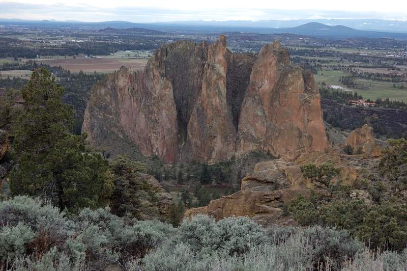
Did Smith Rock loop counter-clockwise. Cloudy, cool, but no rain. The parking was full when we got there, but most of people probably were climbers - we didn't see too many hikers.
April 9, 2011 3.5 miles 1,000 feet gained

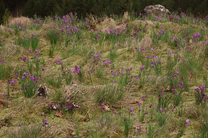
Just was showing somebody an easier hike. We went up the road on the ascent, then back down the trail (and another road) around the other side of Aldrich. There were ALOT of grass widows on a small meadow just below the summit. Not nearly as many people as on Angels Rest yesterday - we only met 3 groups of 2, all on the way up. The link to the hike actually ...

April 8, 2011 6.5 miles 1,500 feet gained

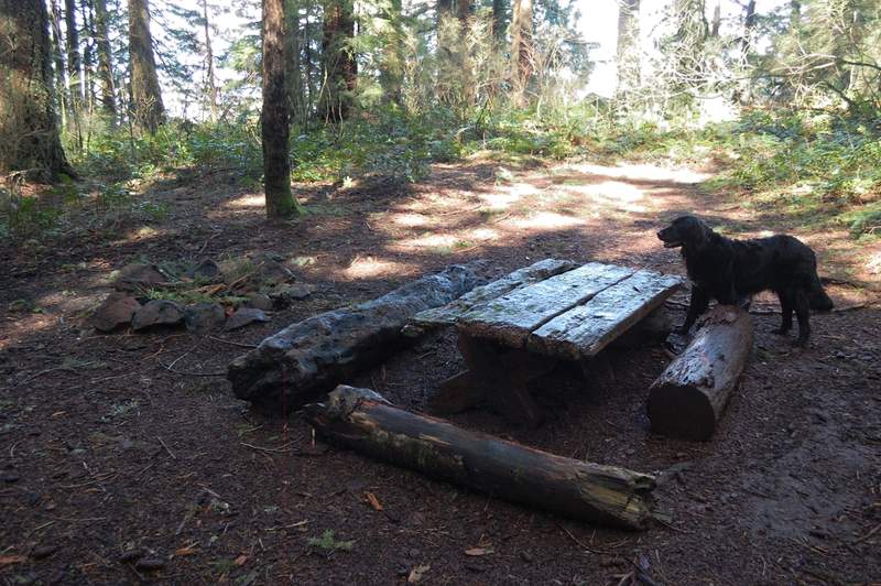
Couldn't miss a rare weather anomaly today, but had only 1/2 day before work. Hiked to Angels Rest and then about 1 more mile to a campsite near Foxglove Creek. It was sunny 63F and finally felt like spring. Trees finally turning green. Couldn't find Quadrillium Chris was writing about, but there was so many trilliums that it was hard to spot one. It was cro...

April 1, 2011 10.5 miles 3,750 feet gained

Hiked Nesmith Point again today - it was significantly more difficult than in January because of more snow, but it's for exercise after all. Took me 6 hours instead of usual 5, and 2 1/2 hours were through snow, which started at about 2,500 feet and almost immediately became 1-2 feet deep. I didn't take snowshoes (still have to figure out how to attach them ...

March 25, 2011 8 miles 1,000 feet gained

Planned to hike Hunchback Mountain but it rained so hard that I decided to drive further east. Started at Frog Lake Snowpark. I didn't take snowshoes because didn't plan for snow hiking, but the trail was tracked very well and the snow was firm, so I almost never postholed - it was as easy as regular hiking. Lots of snow, some signs were just a few inches ab...

March 11, 2011 6 miles 1,500 feet gained

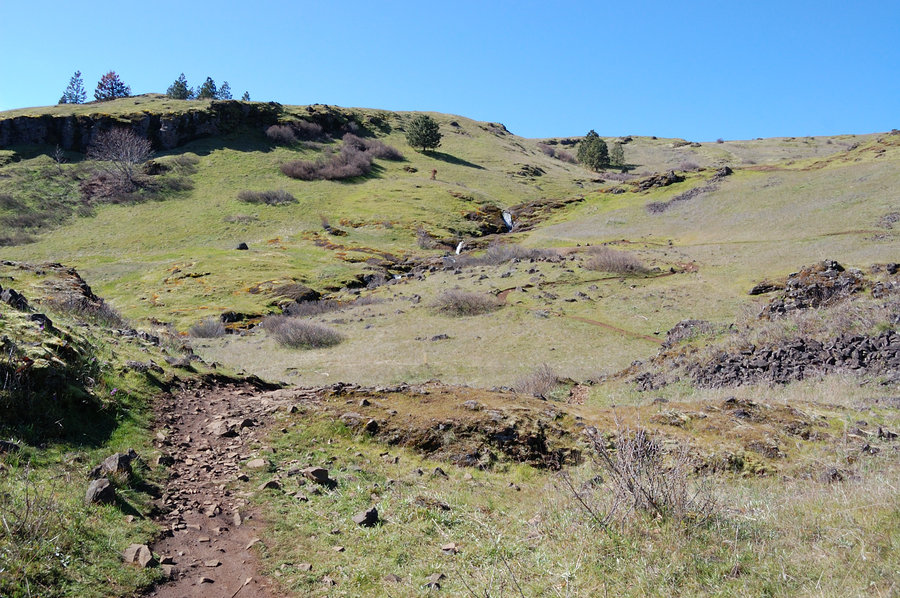
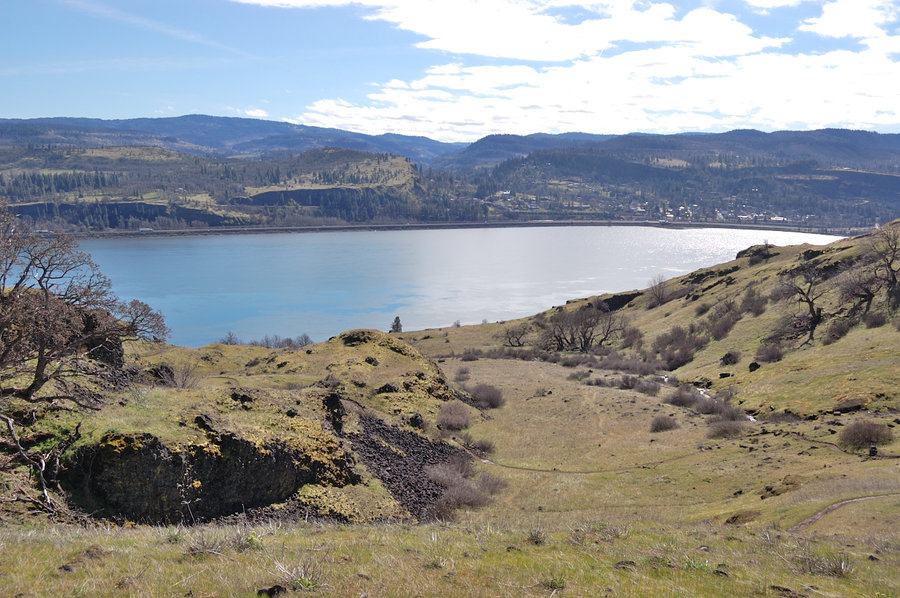
[pics hosted for another hike for a TR] We went to Coyote Wall today and did a loop counter-clockwise, connecting the upper and lower Wall trail via Wizard Trail. It would be harder doing it (the first time at least) clockwise because the lower junction of Wizard Trail would be impossible to find - it's very faint trail @ lower junction. It rained heavily wh...

March 7, 2011 6.5 miles 1,500 feet gained

Hiked about a mile past Angels Rest to a primitive camp near Foxglove Creek. No snow on the trail until the Camp, which is 70% snow covered. Warm day and not too many people.