Roman went backpacking Little Badger July 8 to July 10, 2011 18 miles 4,750 feet gained 2 nights
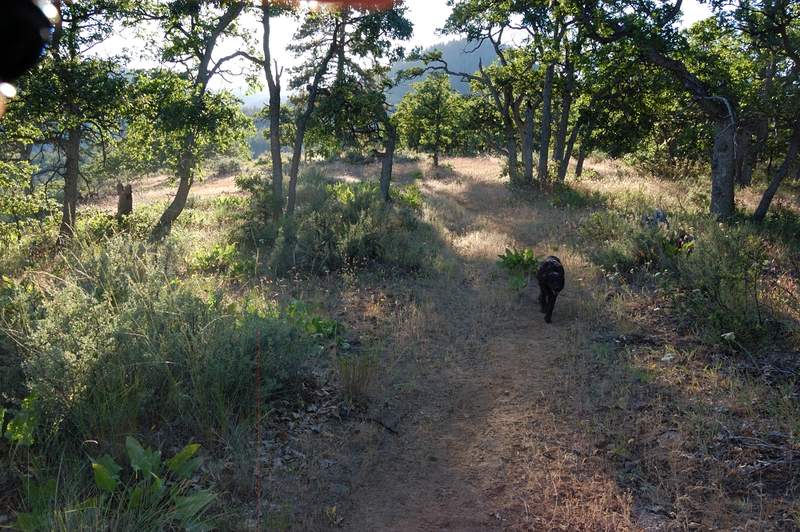
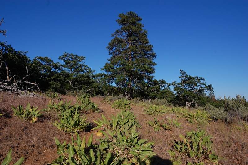
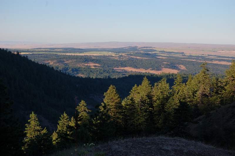
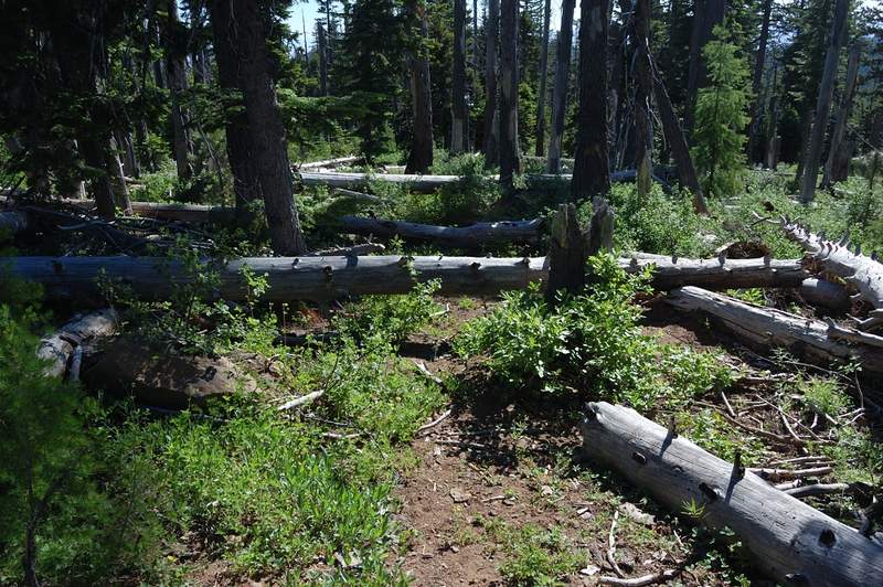
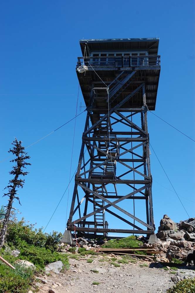
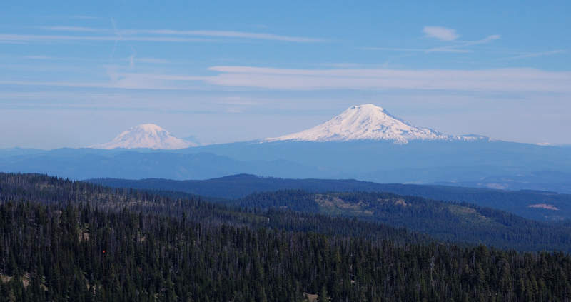
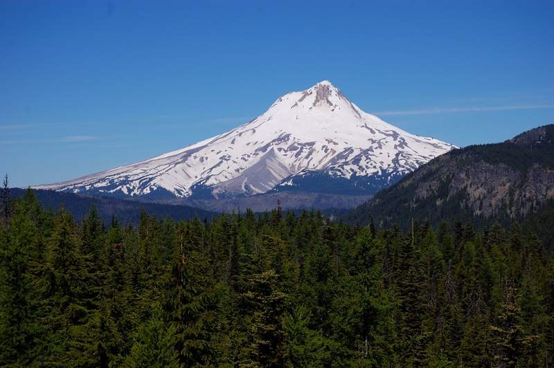
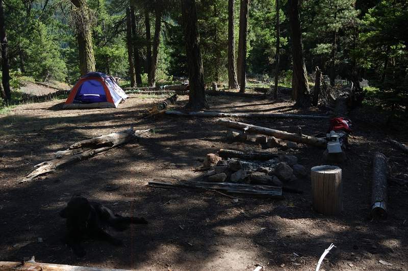
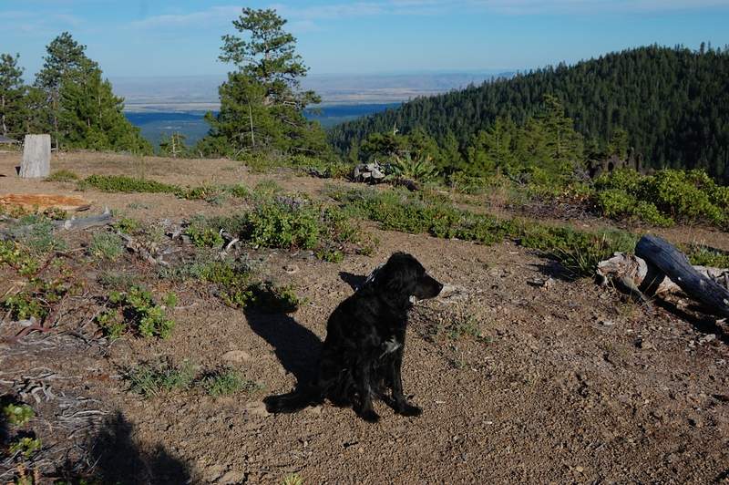
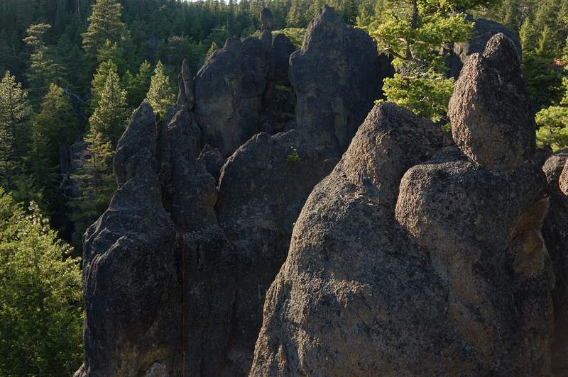
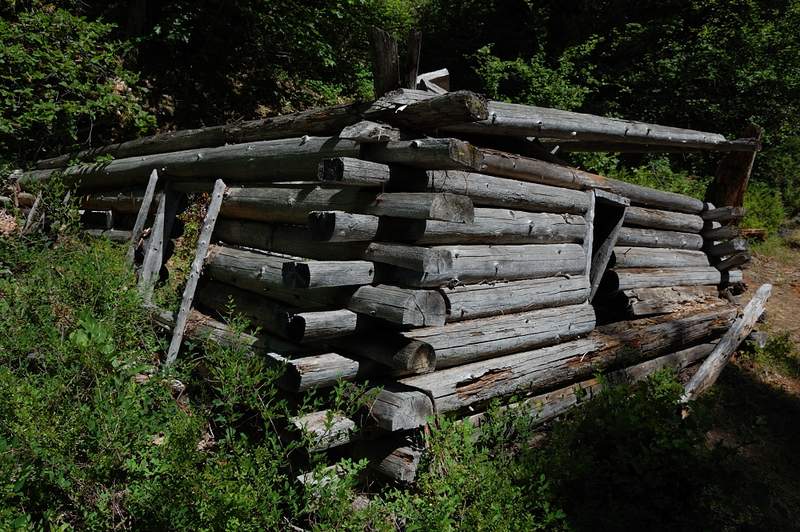
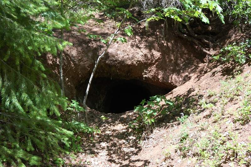
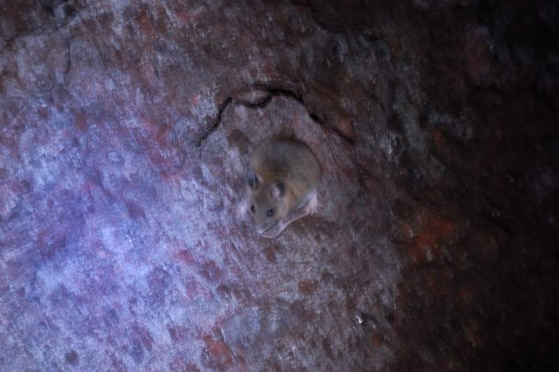
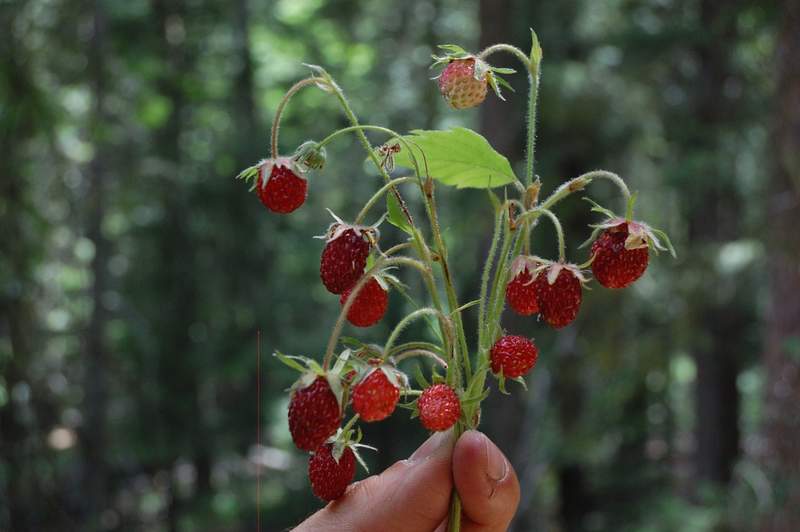
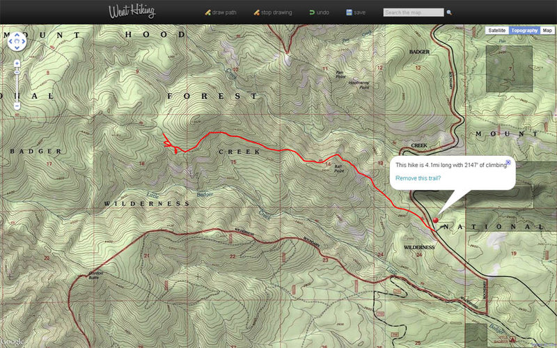
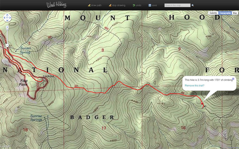
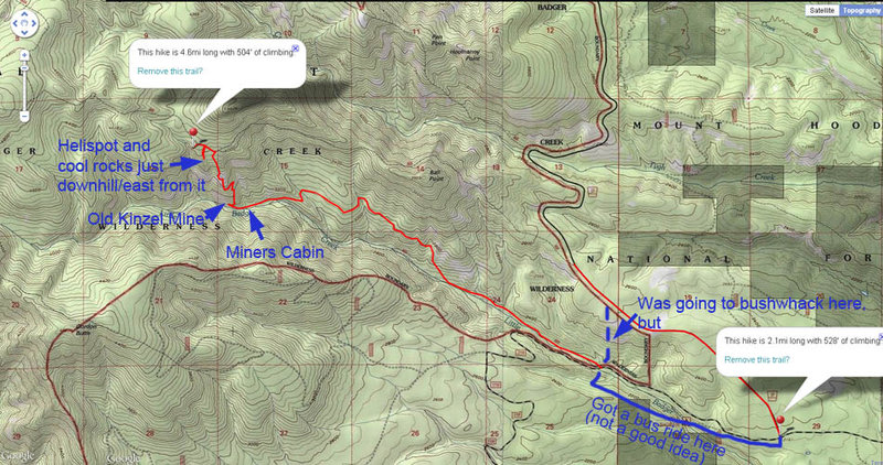
Just off a nice little loop in Badger Creek Wilderness. Day 1: got 7pm start and went up School Canyon trail (despite the name, it's all near ridge top and a lot of views - great trail) and camped near the only spring between the trailhead and Flag Point).The marker on the map shows my camp site. Day 2: up and down Flag Point. This section of trail has some heavy blowdown! Lookout is now staffed, but I climbed up to the cabin; the view slightly disappointed - Mt. Hood is partly obscured by a higher summit, Jefferson and Sisters - by the trees. In the evening visited the cliffs just below and to the east of Helispot viewpoint, just below my campsite - cool place and one group camped there the prior night. Day 3: Down Little Badger trail, very nice but a little hot, since it's just over 2,000' elevation. Lots of ripe strawberries in places. Checked out an abandoned mine. Got a free ride on the bus 1.5 miles uphill (with Mazamas) from the lower trailhead to Rd. 27, the last 2 miles went on the road. Next time, I'll bushwhack from the lower to the upper TH, was going to do it this time but was kind of beat up.
I definitely recommend the ridge trail (#468) and the lower (#469 below my campsite) trail, but NOT the trail from my campsite up to Flag Point.
18.2 miles, 4,880 feet