2015 Trips


April 4, 2015

 2
2
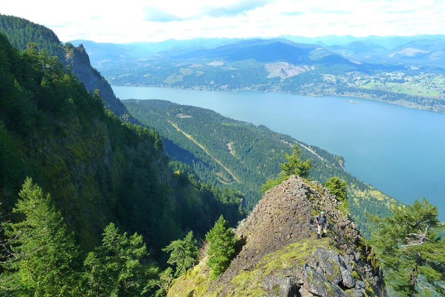
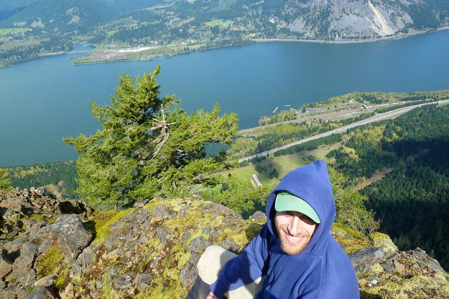
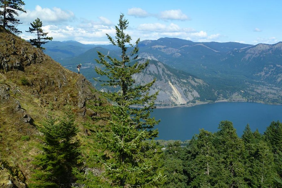
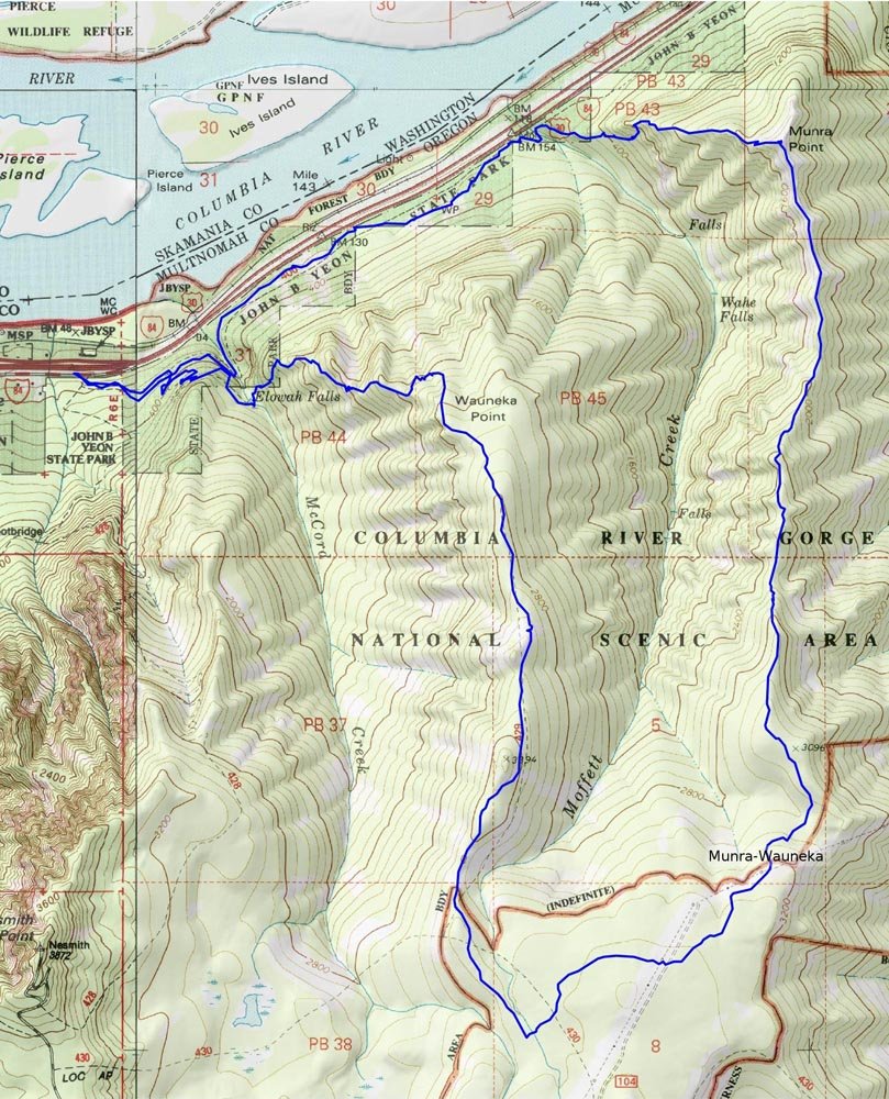
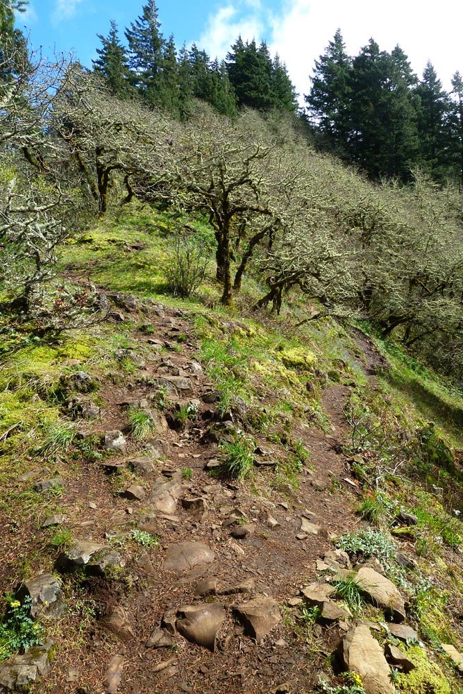
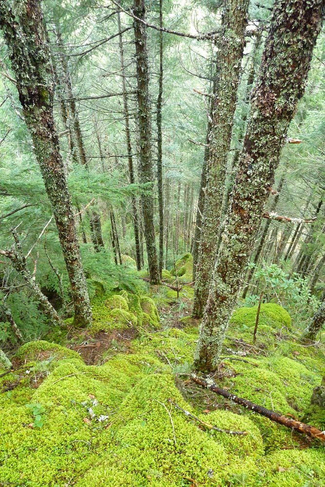
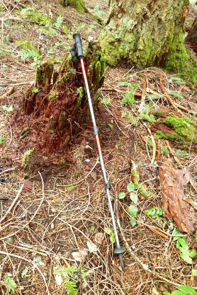
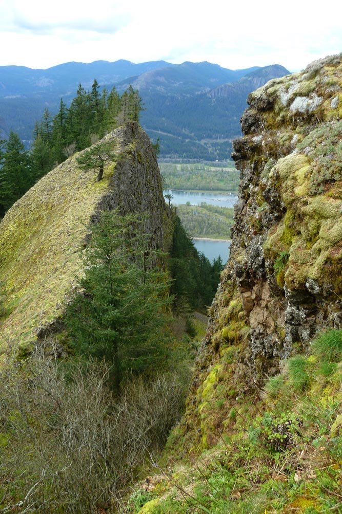
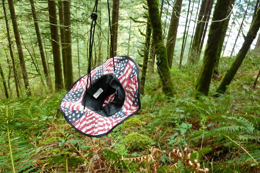
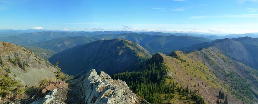
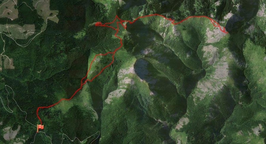
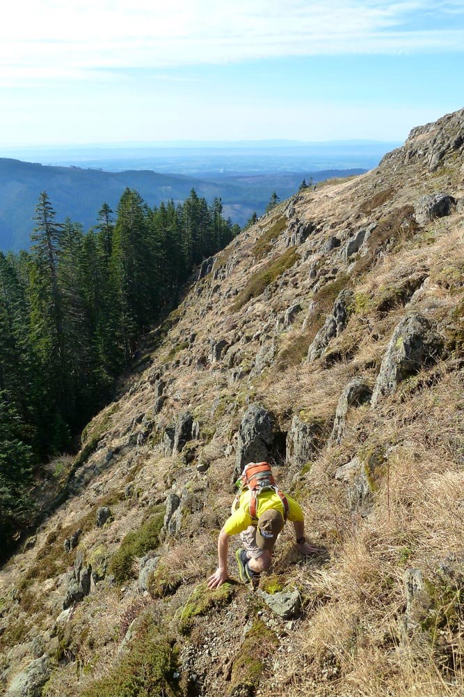
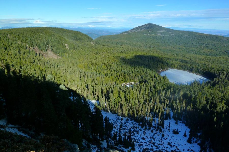
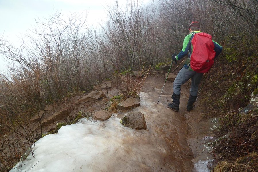
Munra - Wauneka loop
11 miles of hiking • 4250' elevation gain •
Found: 1 trekking pole, 1 fleece hoody, 1 American flag print hat.
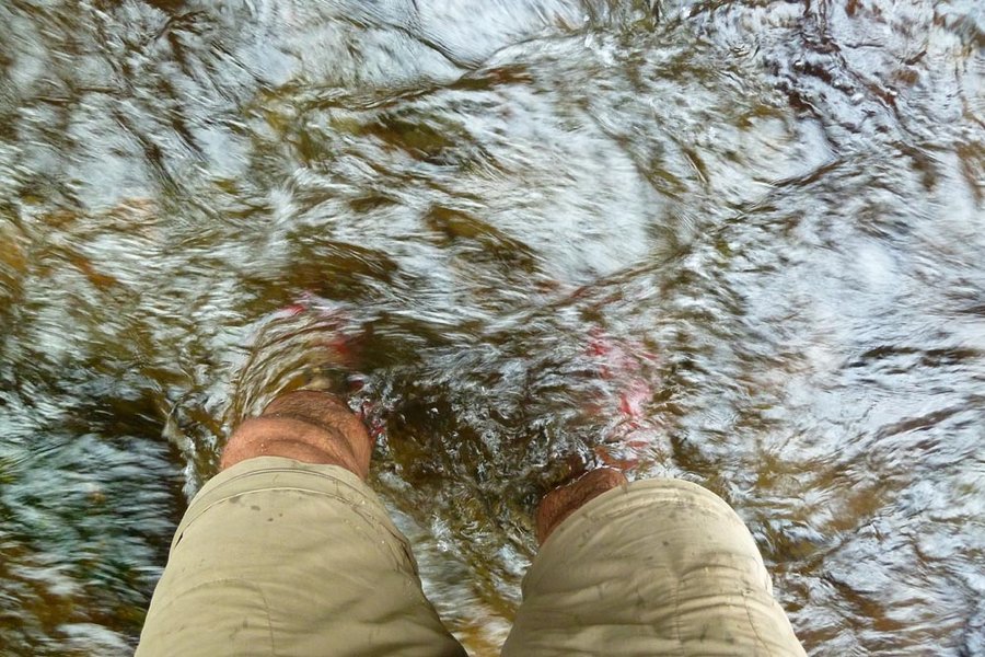
Legs: scratched to all hell.
March 28, 2015


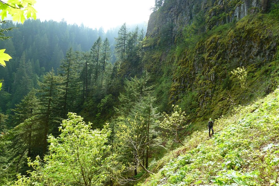
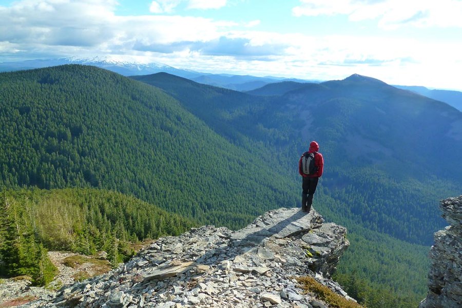
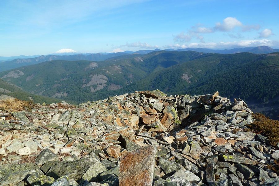
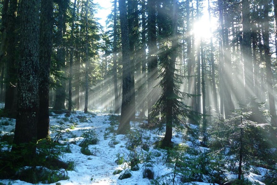
Tanner Butte
19.5 miles of hiking • 5000' elevation gain •
Amazing weather, only a light dusting of snow on the beargrass from the storms last week. Sunbathed for an hour up top. Slight detour to see some Indian pits on the way back. First time ever starting at Tooth Rock!
March 1, 2015

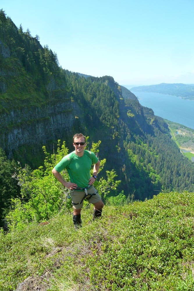
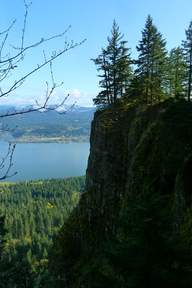
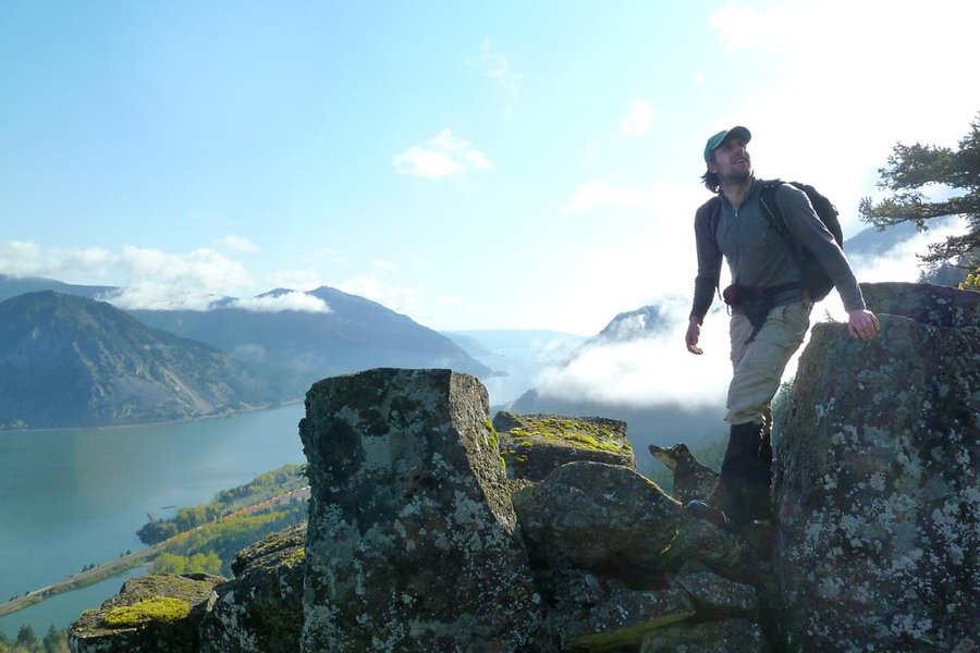
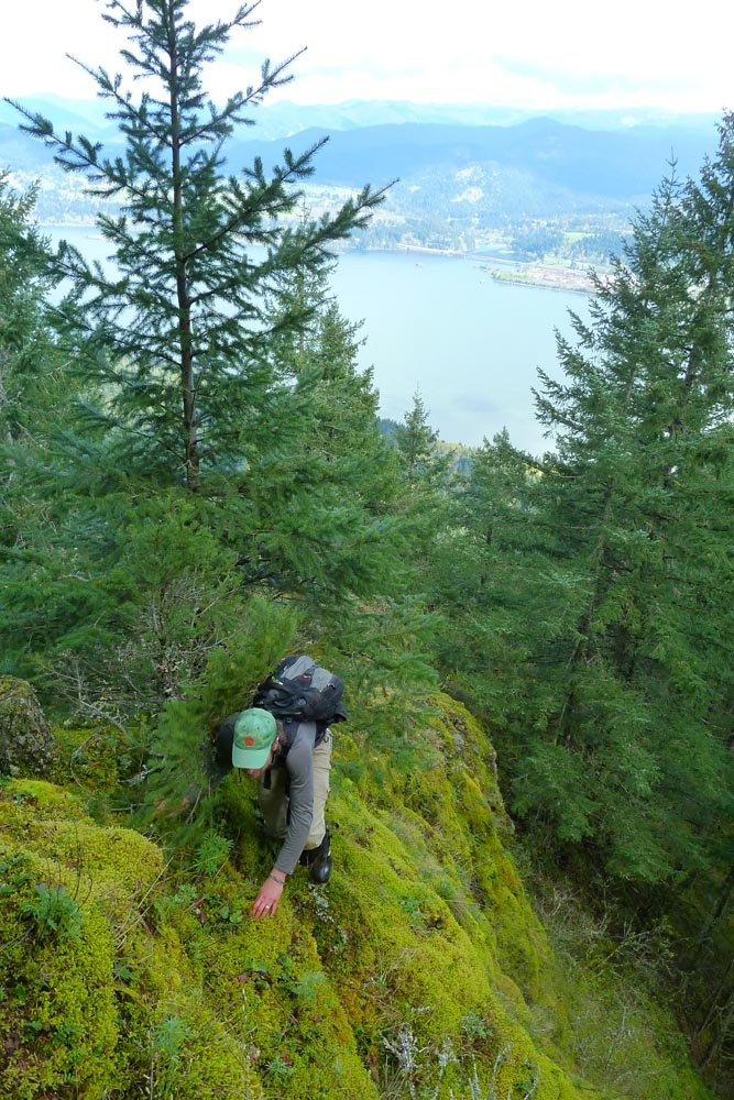
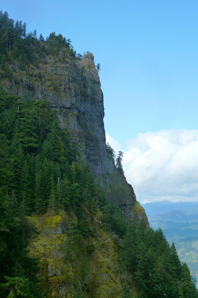
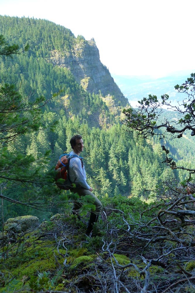
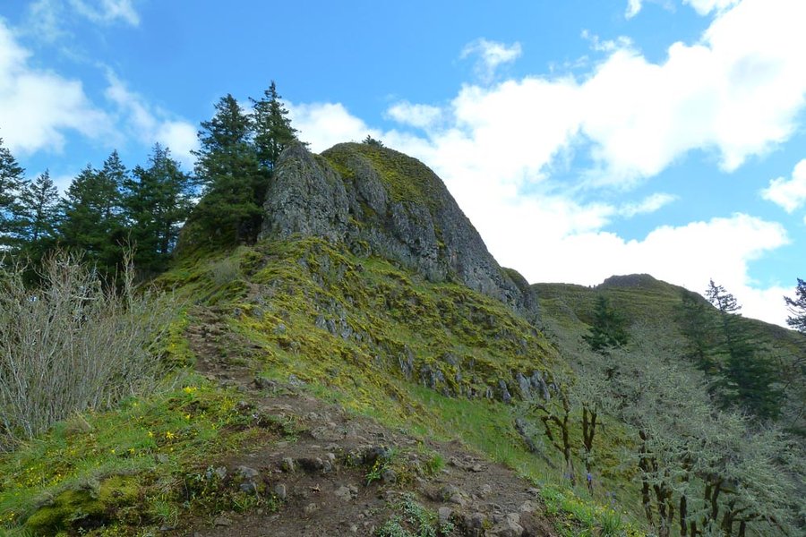
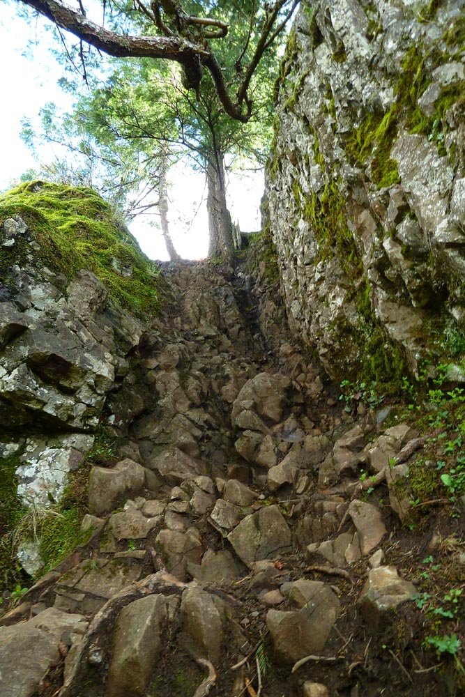
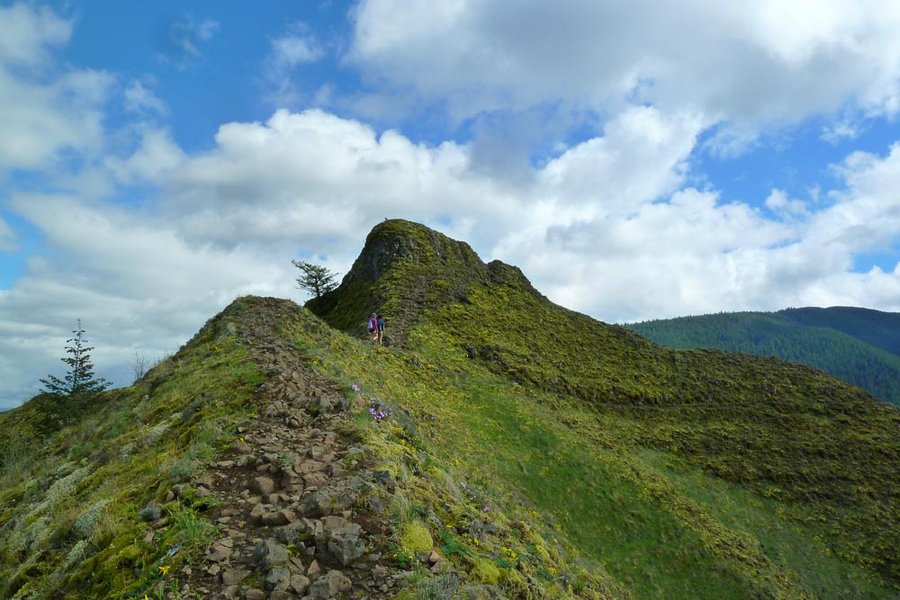
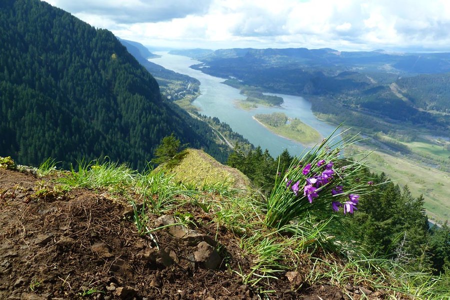
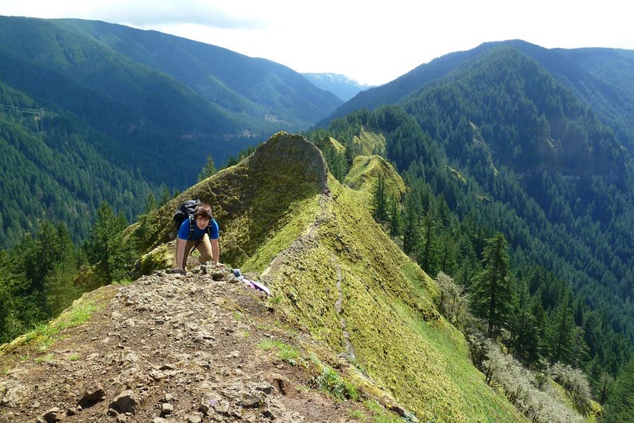
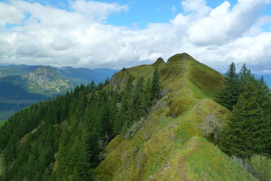
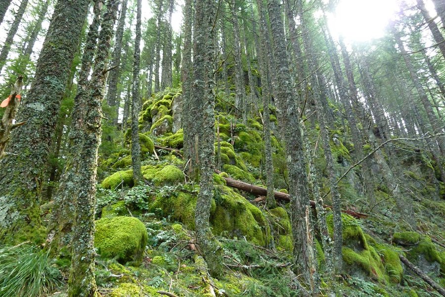
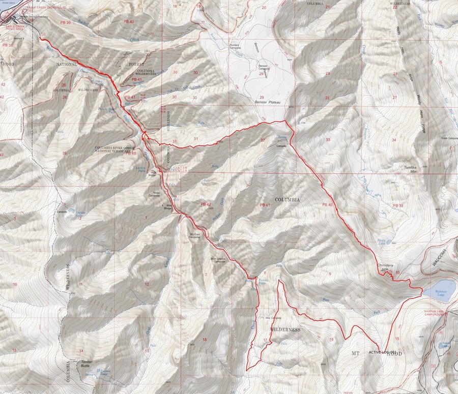
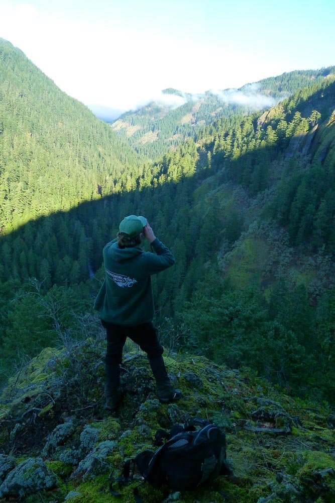
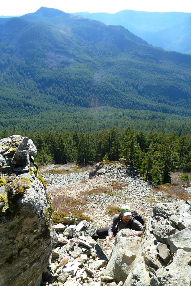
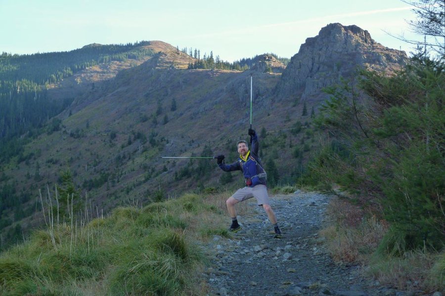
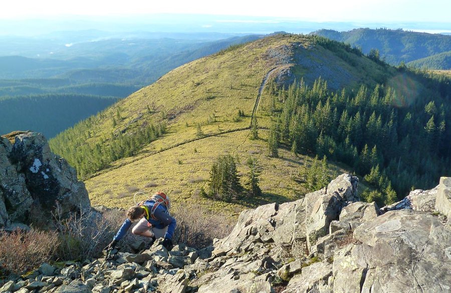
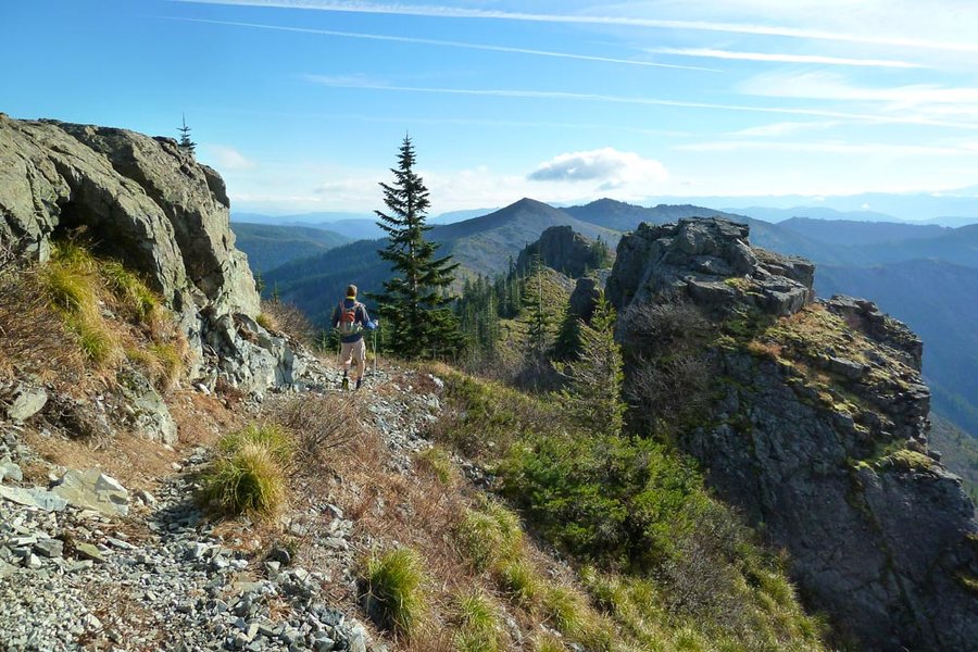
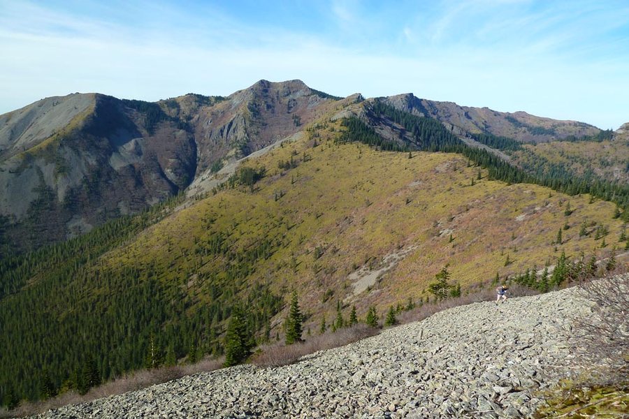
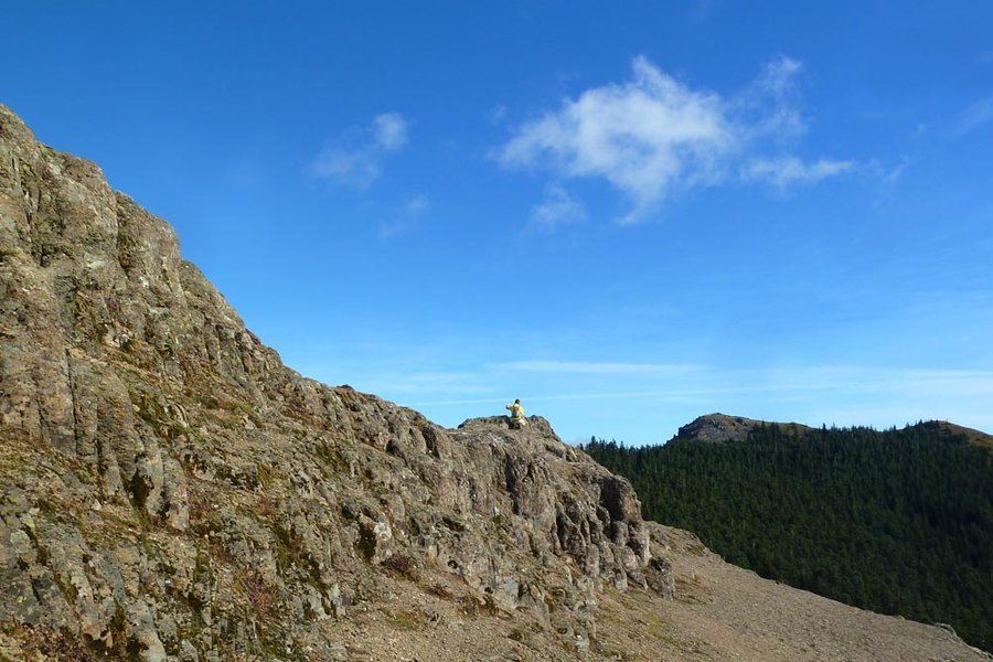
Serpent's Tail Ridge to Chinidere
22.5 miles of hiking • 5500' elevation gain •
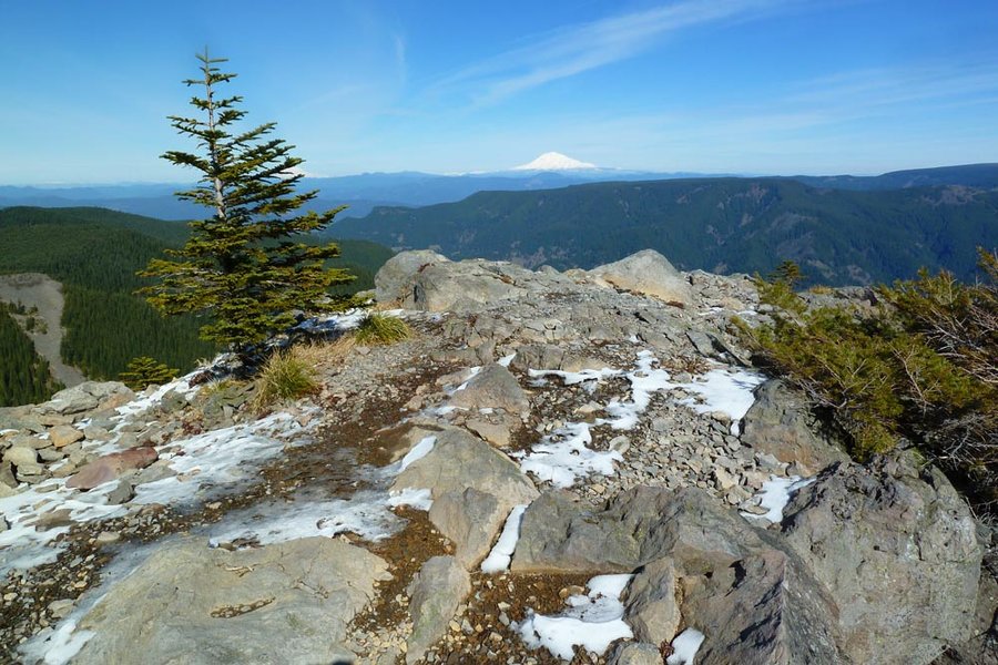
A full day's work in this unseasonable weather. Left upper EC parking lot at 7:30am, back to the car around 7:50pm. Not a speck of snow, brilliant ridge climbing. Went up the west face of Chinidere for bonus scramble points. Headlamps on at 4.5 mi bridge around 6:30pm.
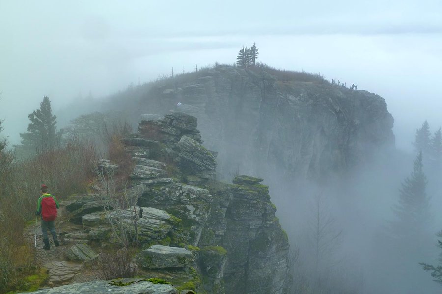
February 21, 2015

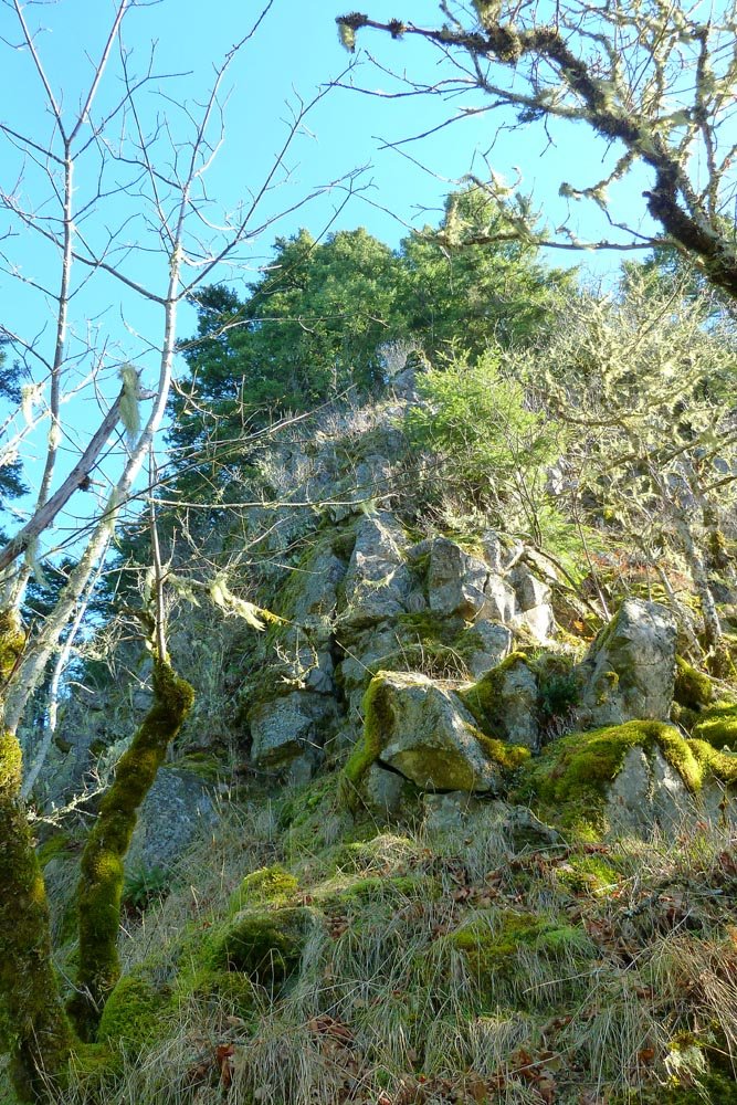
Silver Star to Little Baldy
12.5 miles of hiking • 4000' elevation gain •
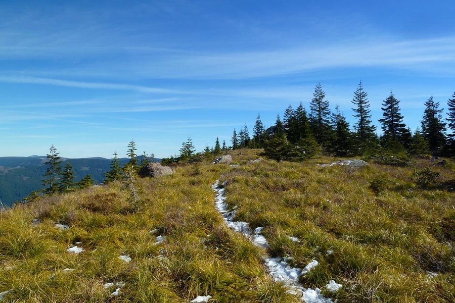
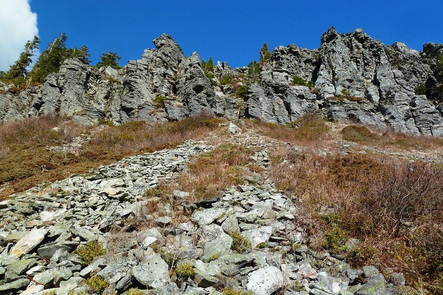
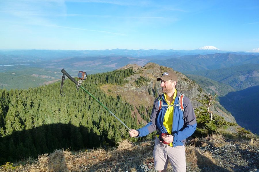
Started at Grouse Vista. Up to Pyramid Rock, then up the right side trail to SS. We continued on the Bluff Mtn trail and then up a talus slope to Little Baldy. Sustained winds on the summit of at least 50mph - I had to hide in the windbreak, where it was bearable. Back on the talus use path halfway down, I went around the east side and almost got knocked off my feet by the wind. We scrapped plans to explore a ridge to the north and returned to SS, then on to Sturgeon Rock and back down to the car. Lovely day, aside from the wind.
February 15, 2015

 1
1
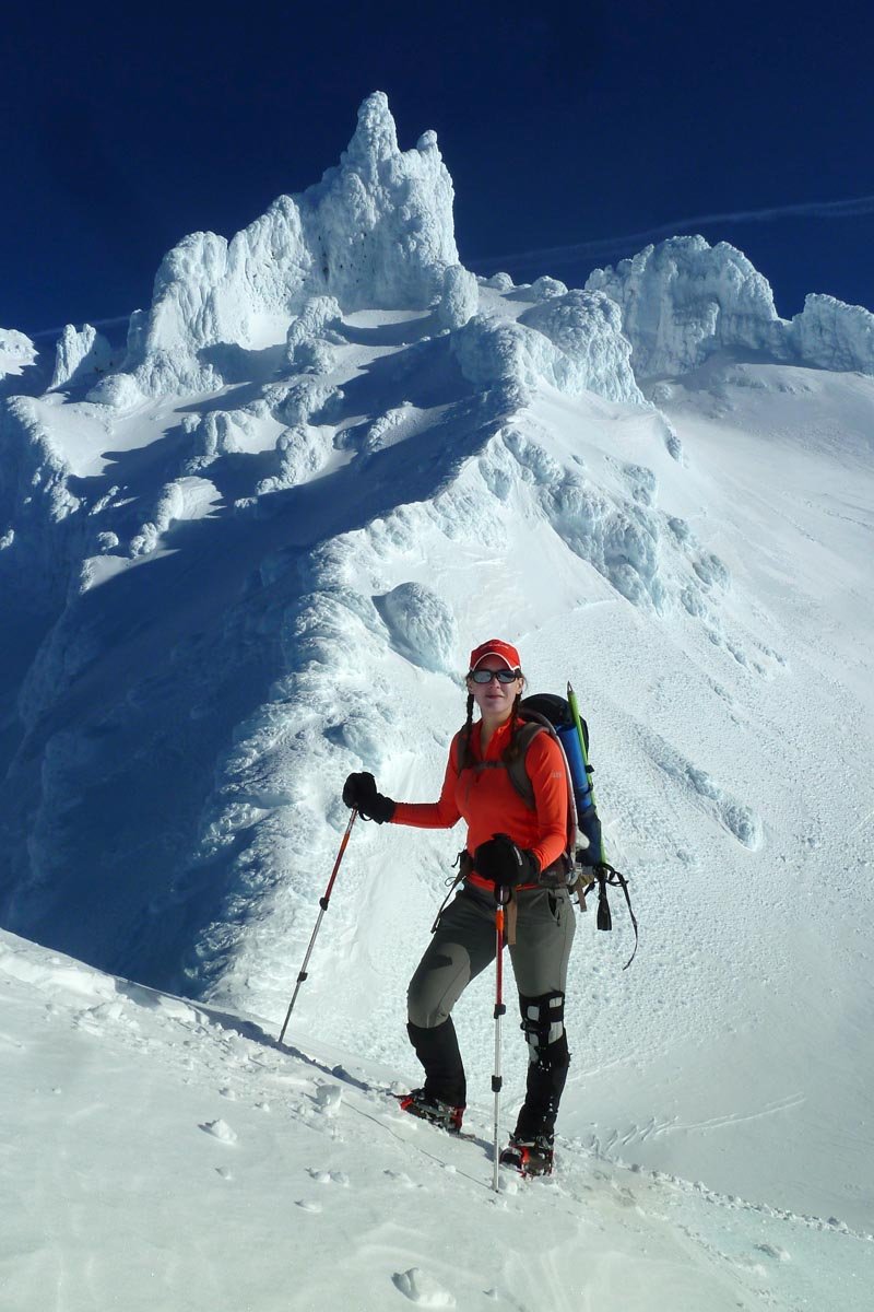
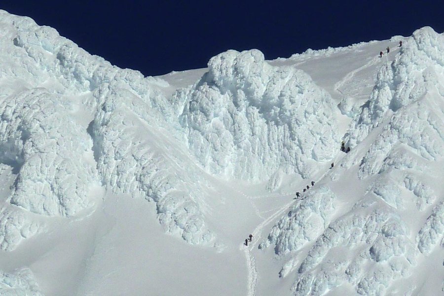
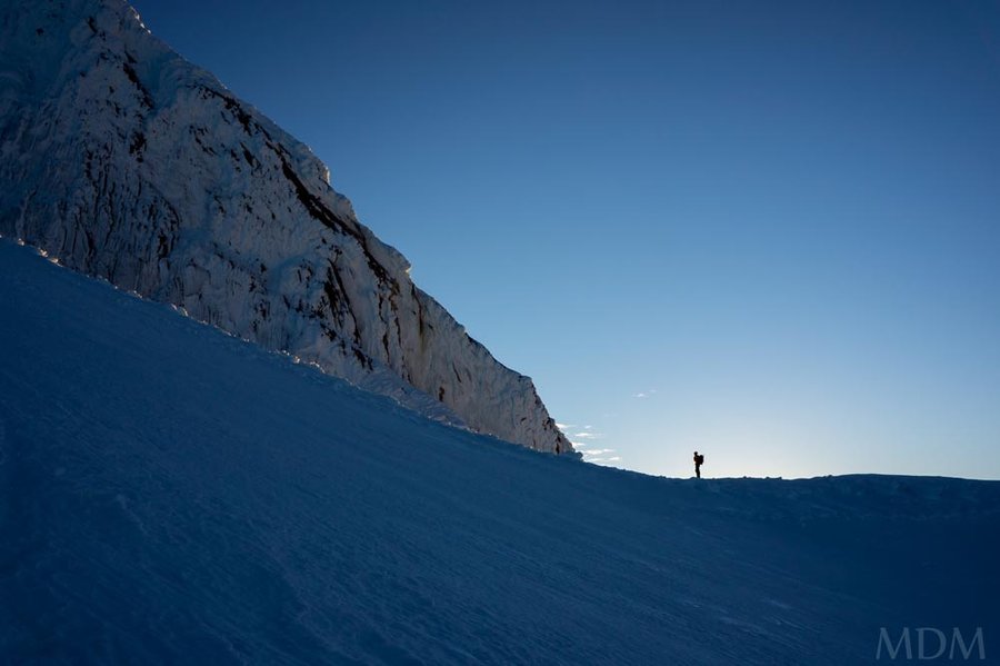
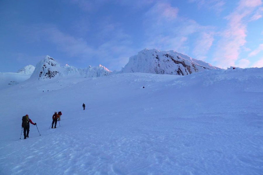
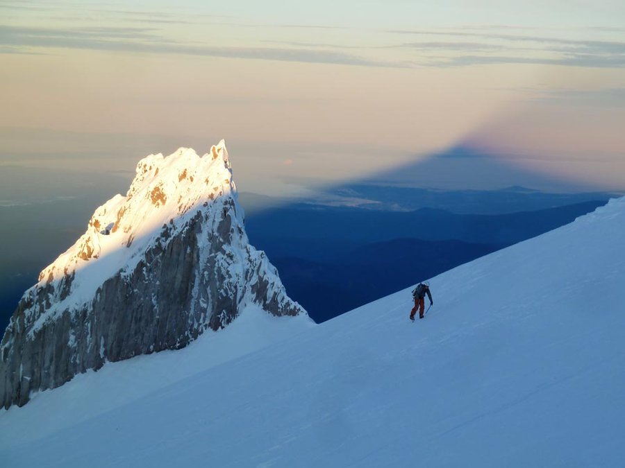
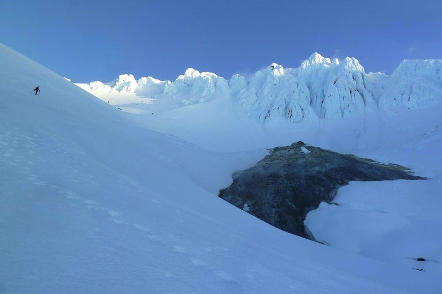
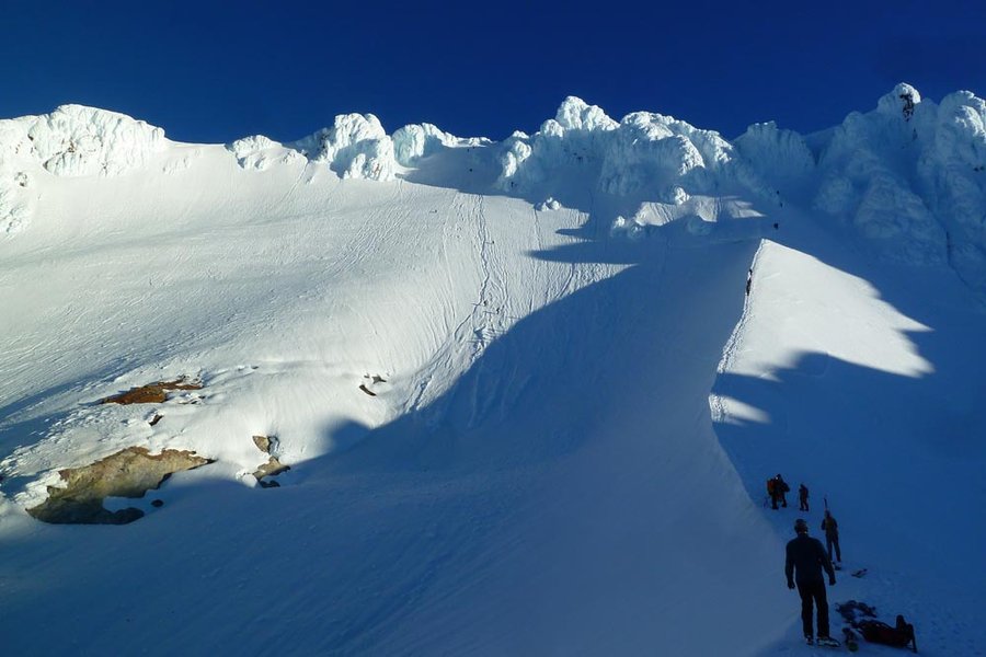
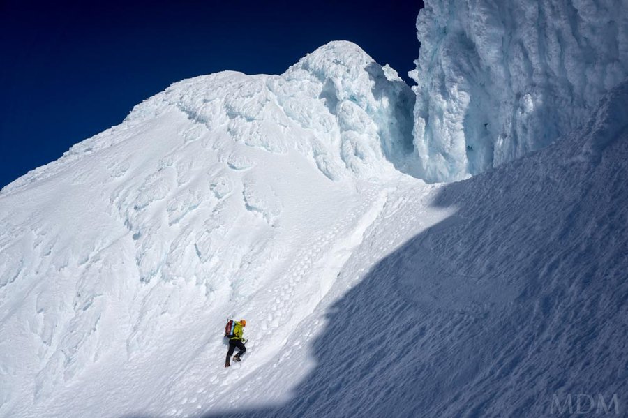
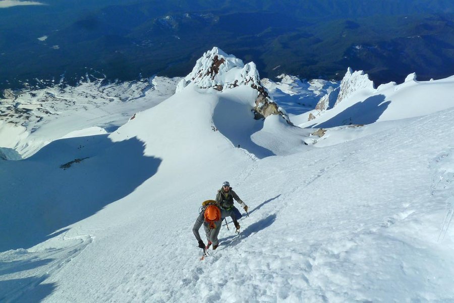
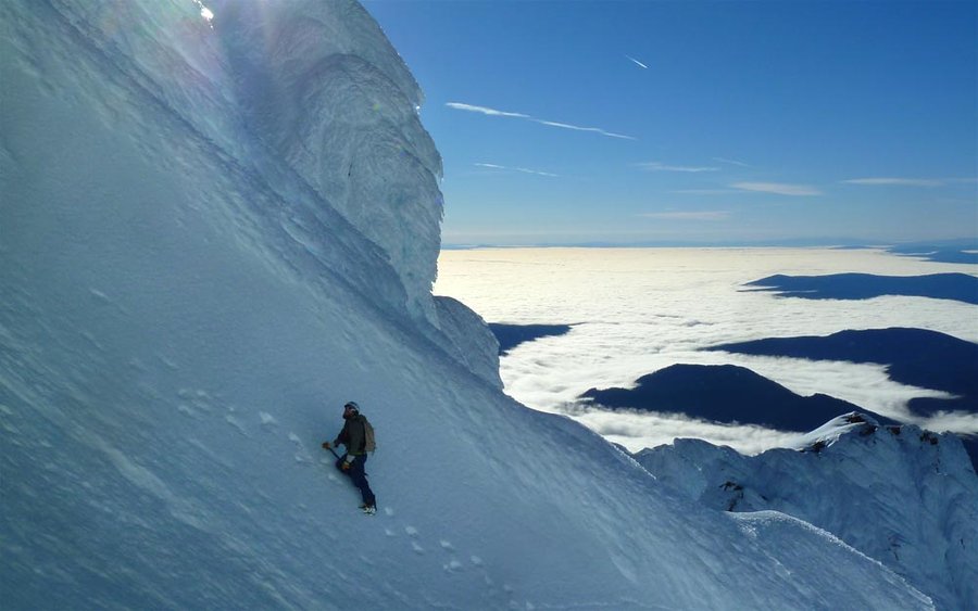
Pearly Gates attempt
6.5 miles of hiking • 5000' elevation gain •
Left Portland at 3am. Left the parking lot at 5am. Hogsback at 8:30am. Conditions were not good, too warm (38º?) and plenty of rime falling all over the place. Entered the left Gate but ultimately retreated about 300 ft shy of the summit due to soft snow, icefall, and no rope. Matt scampered over to the right Gate during this and went to the summit. D'oh. Unfortunately, a roped couple fell out of the Old Chute and broke some bones while we were up there. (But at least it wasn't more than that!) Beautiful day, but too late of a start for Juneuary. Expensive buffet was subsequently eaten at Timberline.
January 31, 2015


 2
2
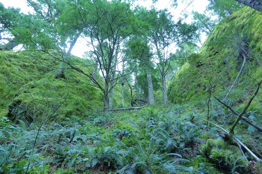
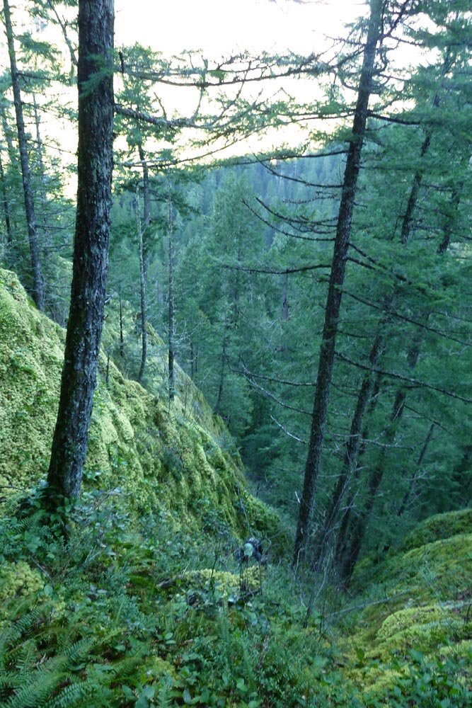
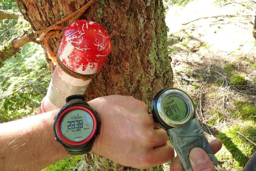
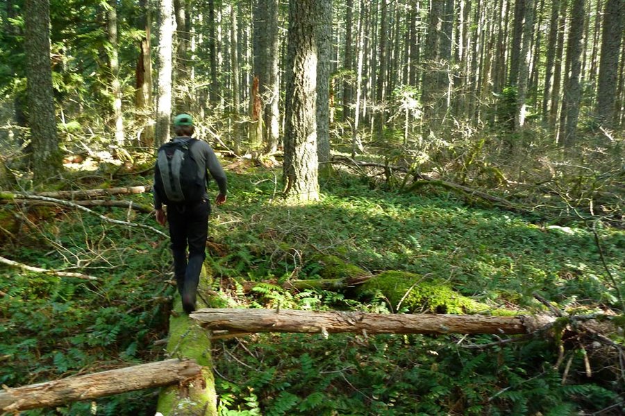
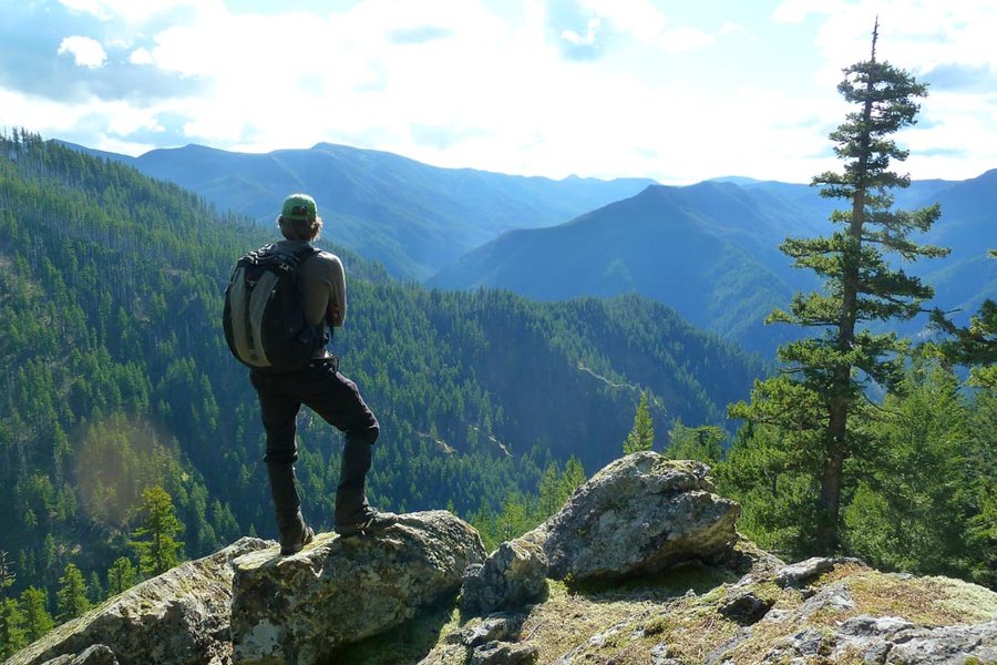
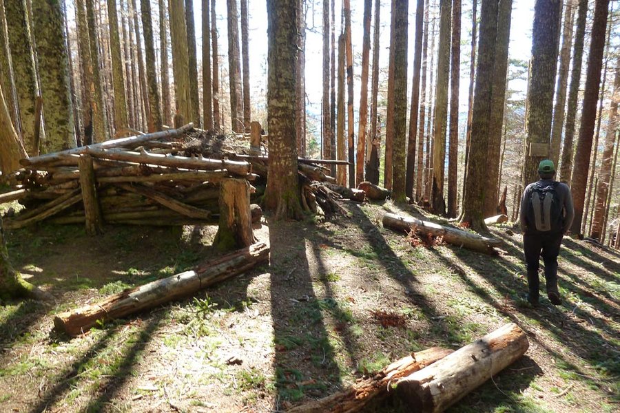
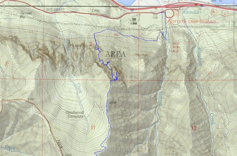
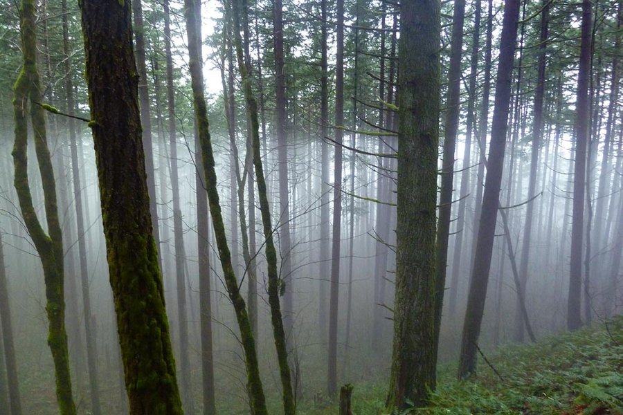
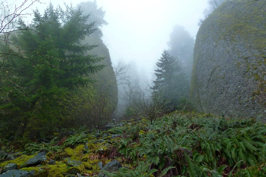
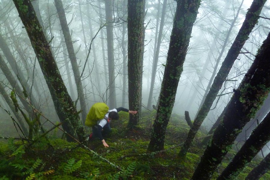
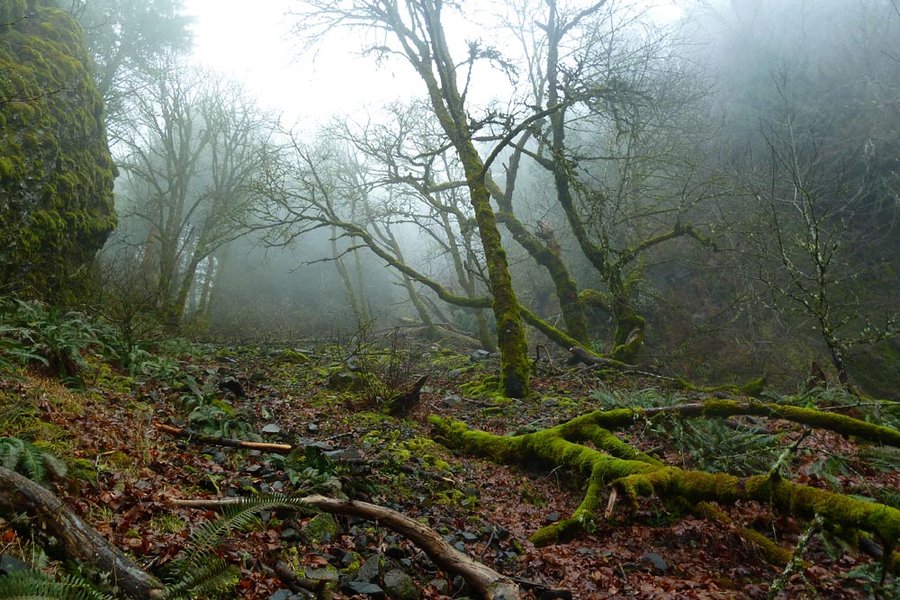
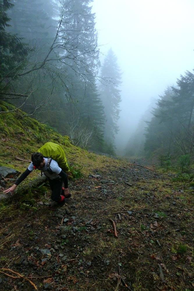
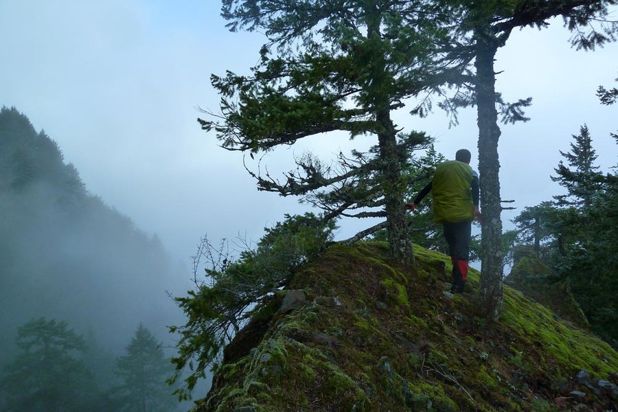
Deadwood Chute via Mossy Gates
13 miles of hiking • 5250' elevation gain •
Offtrail exploration of the chute NW of Deadwood Point. Socked appropriately for a gully exploration. Continued to Green Point Mountain, then down the Wyeth Spur as a "shortcut" - ended up getting down in the dark after some trials and tribulations.
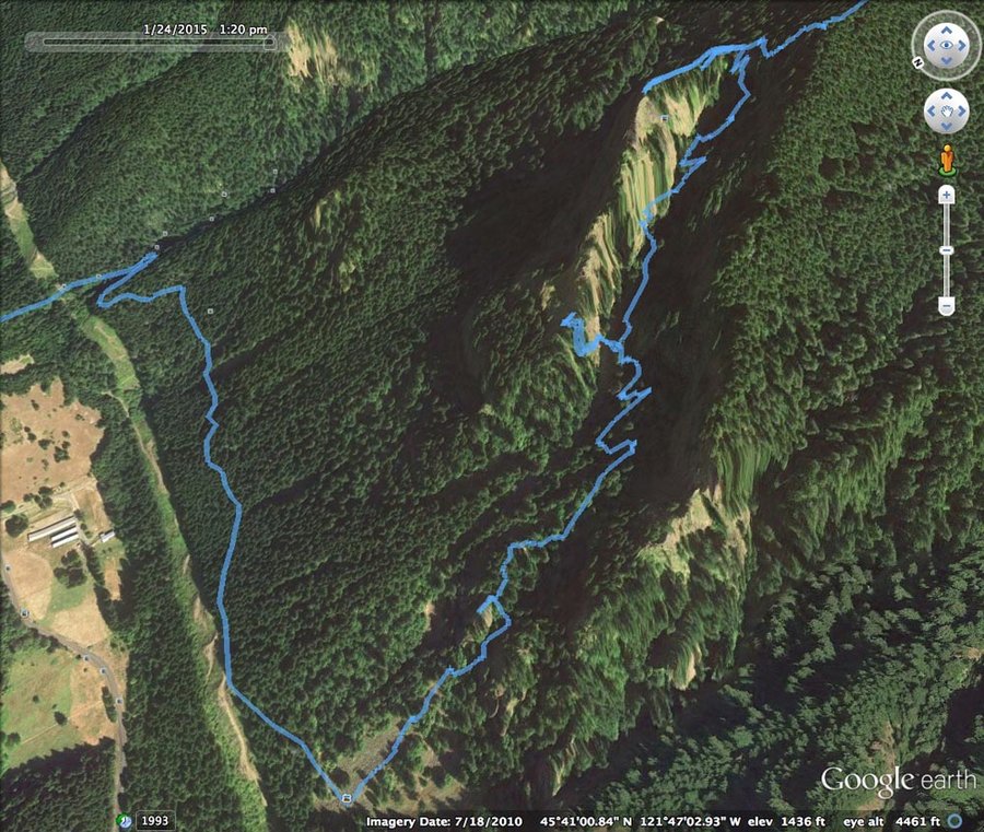
January 24, 2015

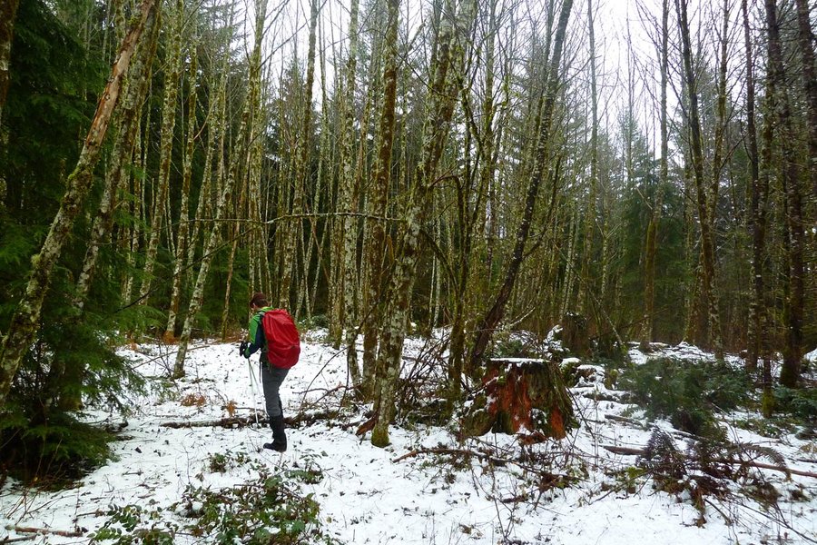
January 18, 2015

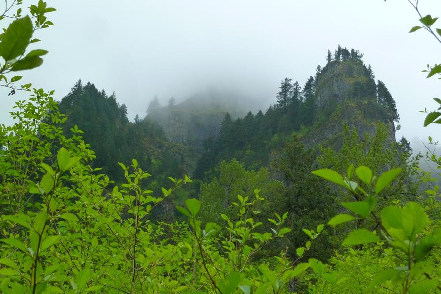
Table Mountain/Hamilton Creek ramblings
14.5 miles of hiking • 4000' elevation gain •
Followed some DN tracks up long-forgotten roadbeds.
January 10, 2015
 1
1
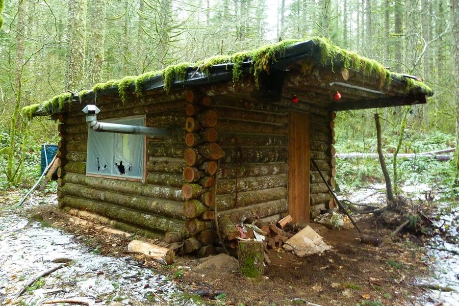
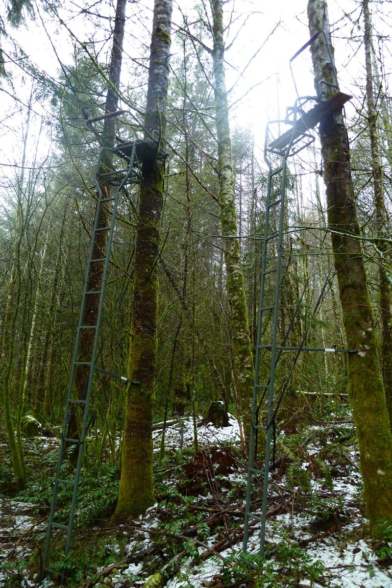
Coopey Creek Ridge to Devil's Rest
9.5 miles of hiking • 2750' elevation gain •
Angel's Rest TH > Coopey Creek Ridge > a hidden cabin > forest and abandoned road meandering > Devil's Rest > back to TH. Encountered approximately 75 people between Angel's Rest and the TH.
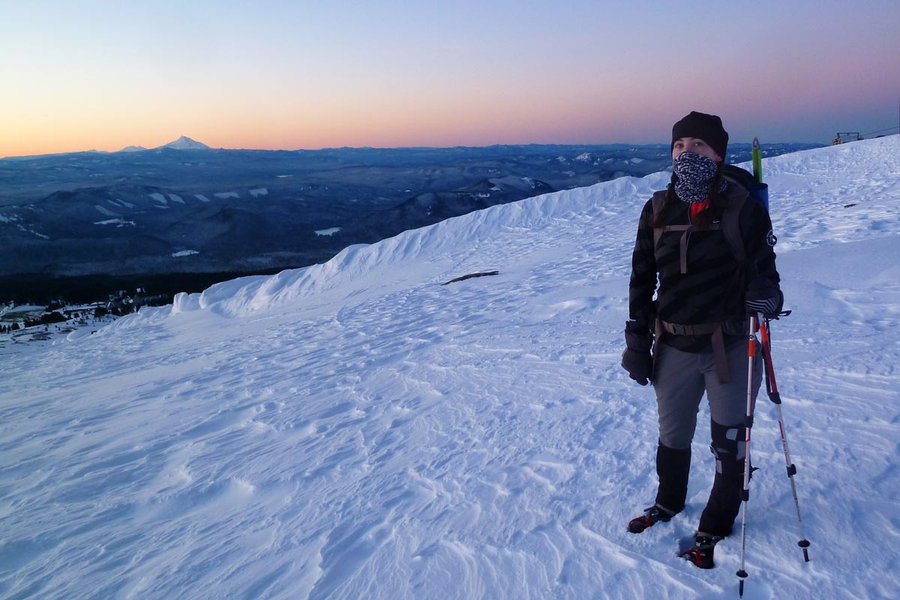
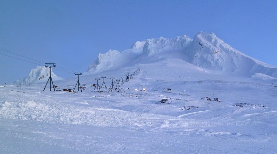
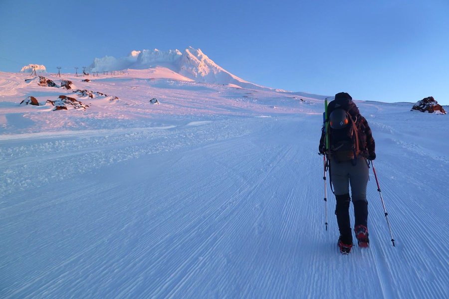
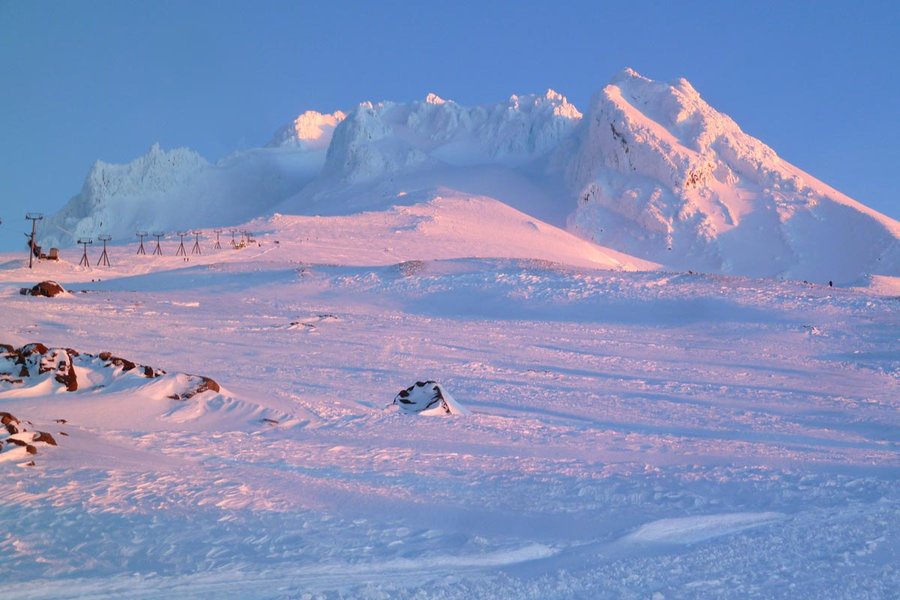
January 3, 2015

 1
1
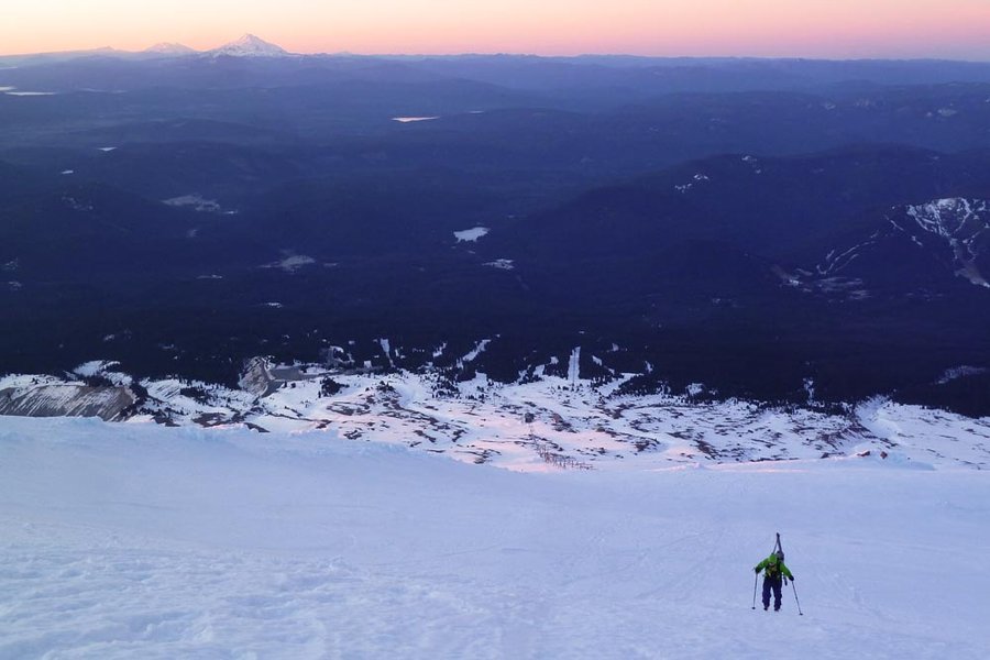
Illumination Saddle
5.5 miles of hiking • 3500' elevation gain •
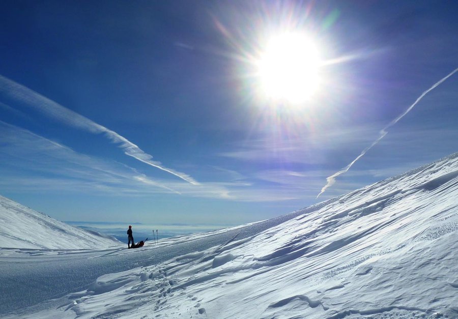
Got an early start and left Timberline at 6:30am. Watched the sunrise as we climbed the ski runs. At the top of the Palmer, skiers reported impassibly deep powder on the Hogsback, so any thought of going up was abandoned, and instead we walked over to Illumination Saddle for lunch. So sunny and warm, it was like spring.
January 1, 2015