2015 Trips


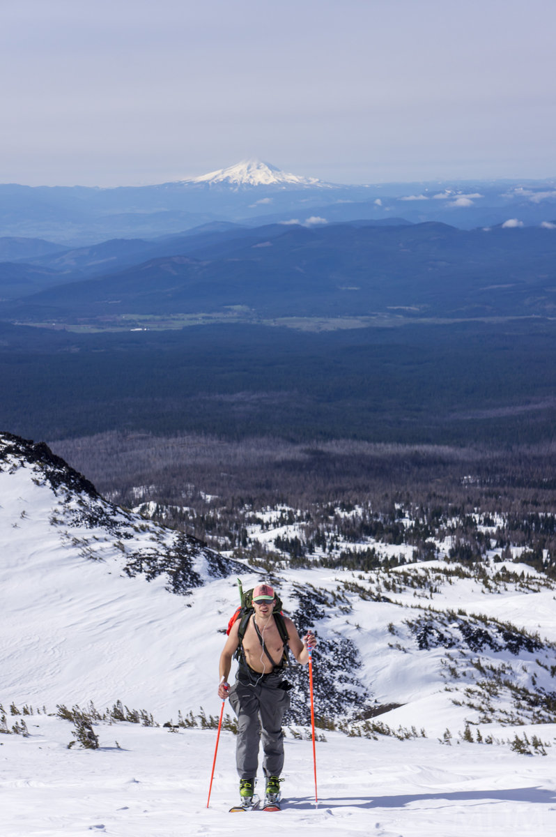
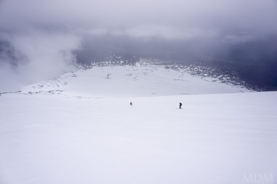
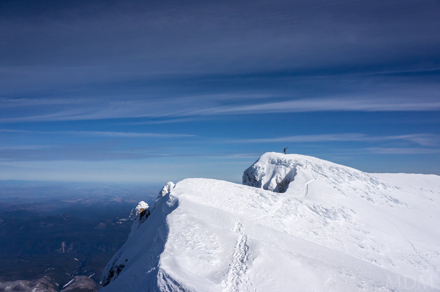
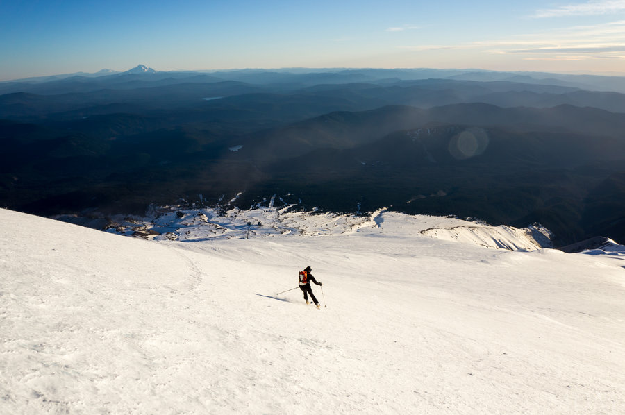
North Sister East Alpine Exploration
8 miles of hiking • 3000' elevation gain • 1 night
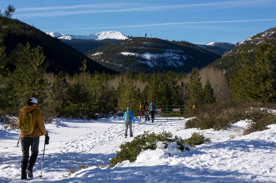
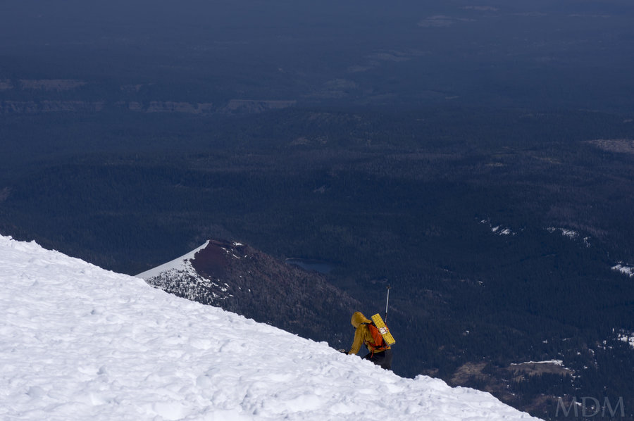
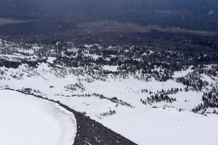
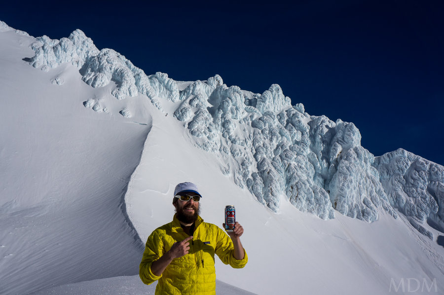
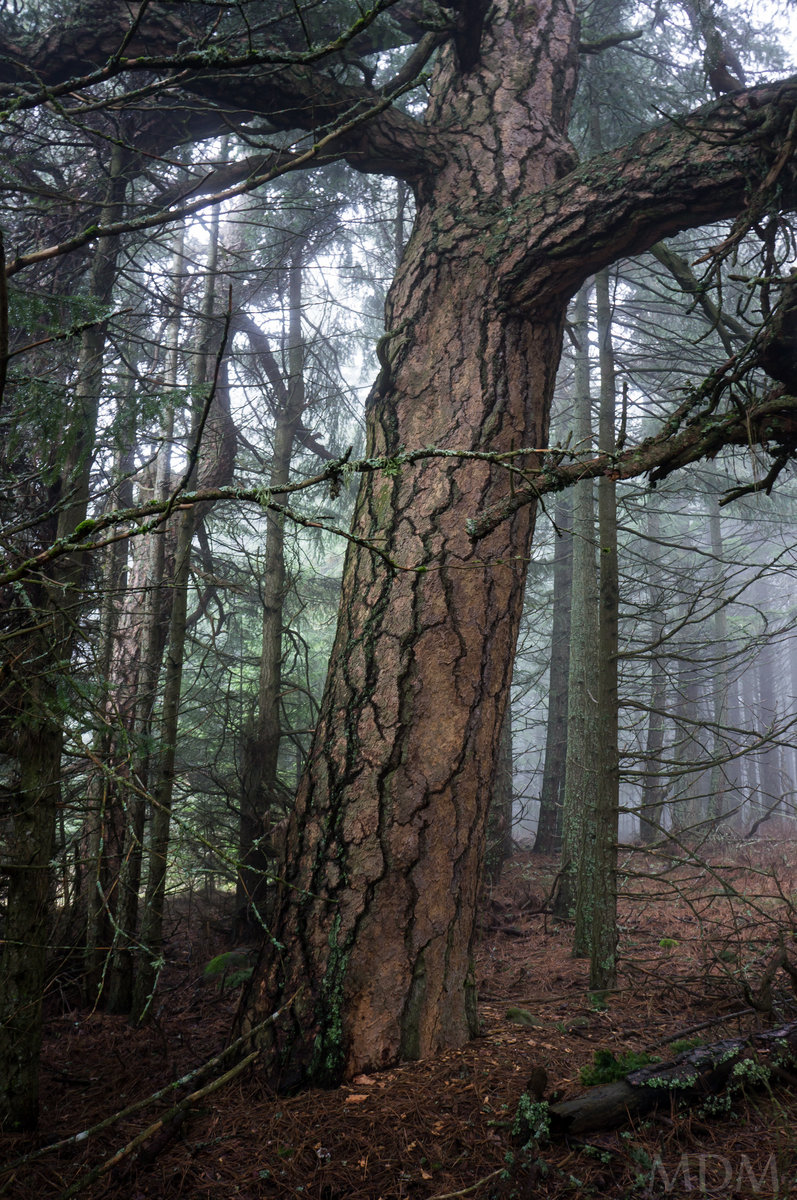
After going to Pole Ck TH to visit Middle and North Sister I think 7 times, the last time I was there was in the spring of 2012 for a ski trip. I had not been back since the fire.
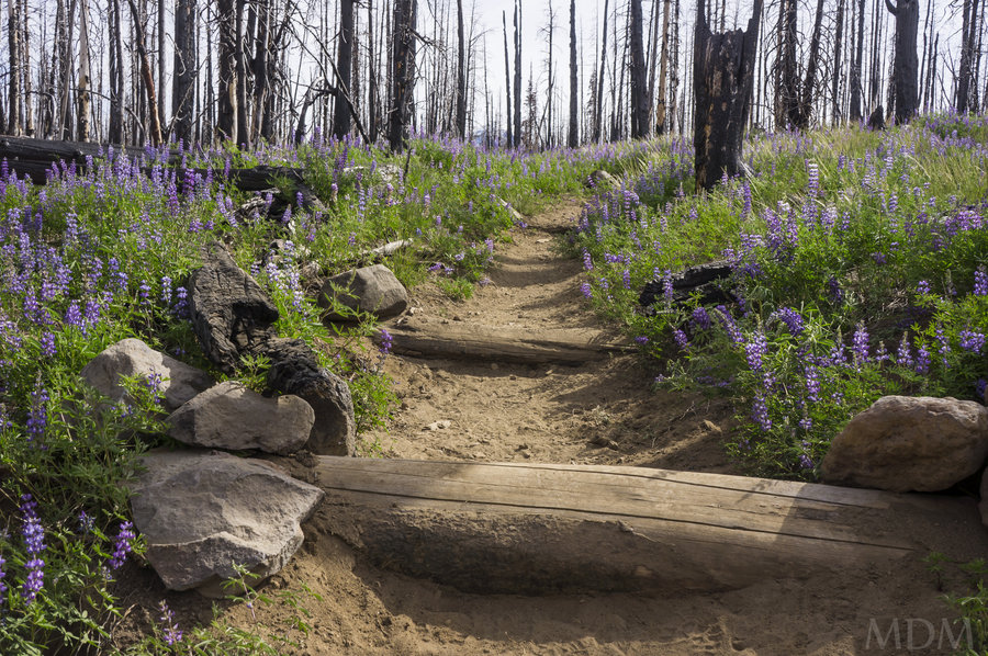
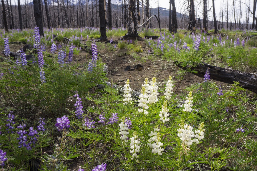
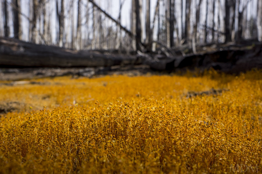
Wow, first of all I was saddened to see those lovely ponderosas about a quarter or half mile up the trail all burned to a crisp and blackened. Those were some magnificent trees. Most of the rest of the 'trees' in this area were nothing more than overly dense toothpicks only waiting for a fire like the one that happened.
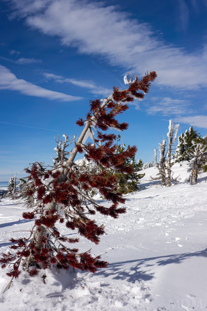
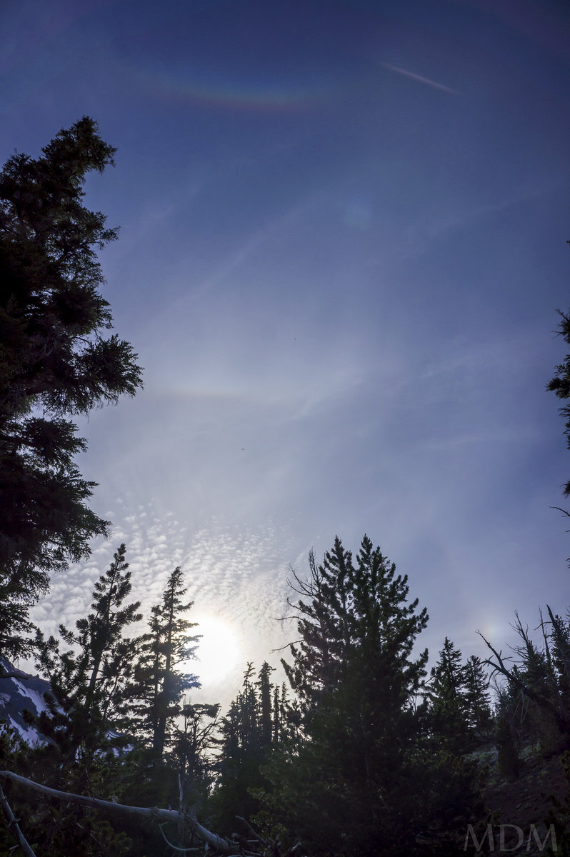
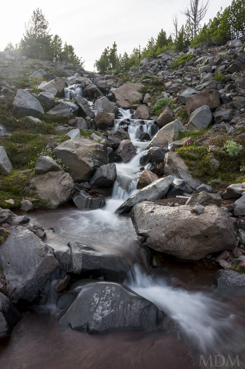
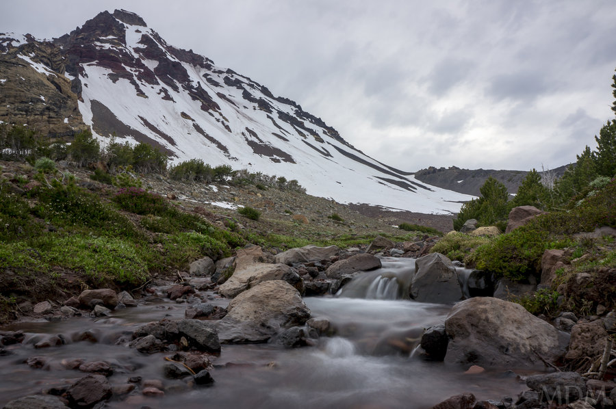
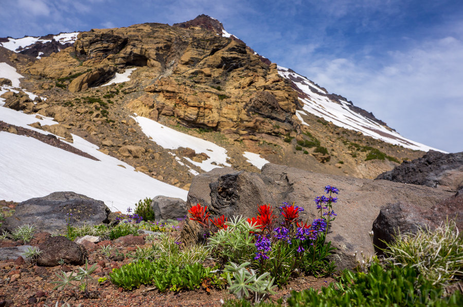
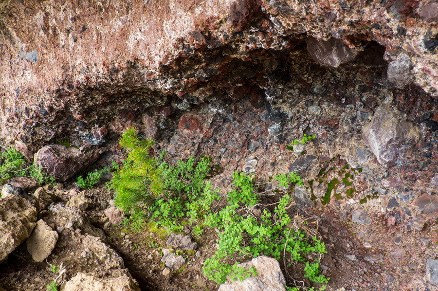
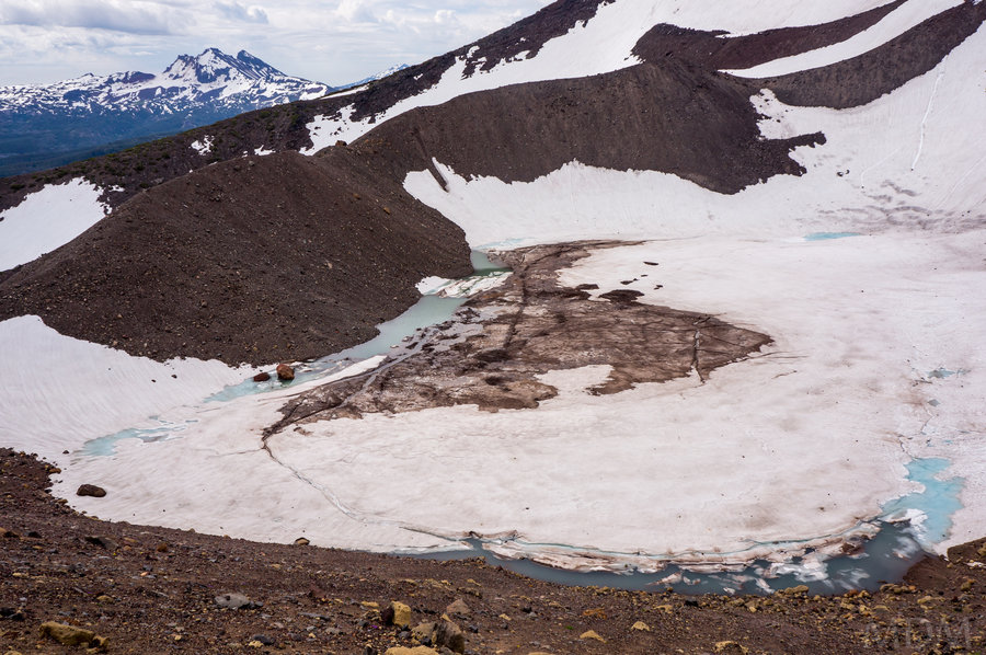
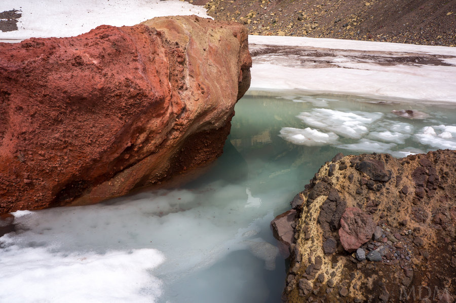
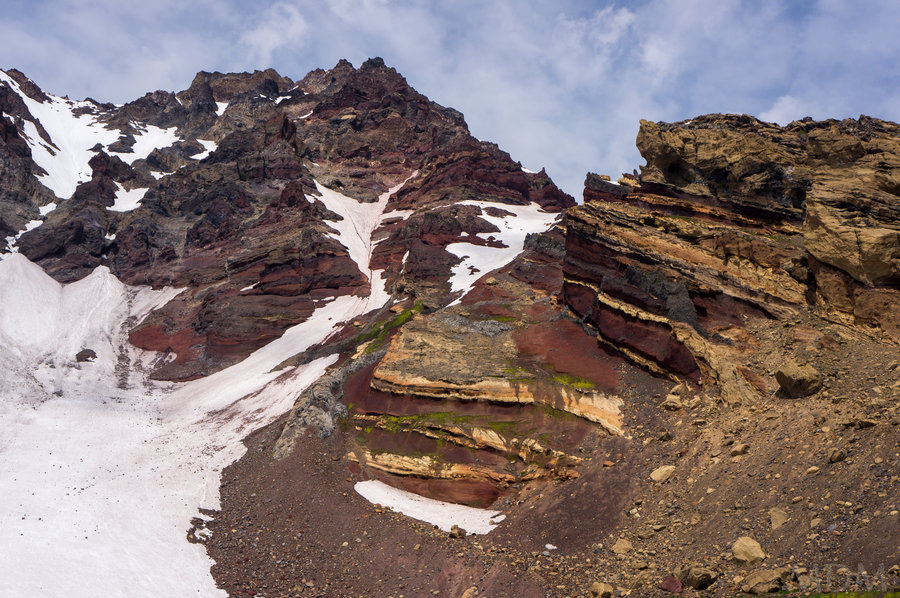
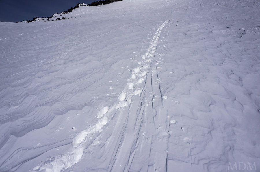
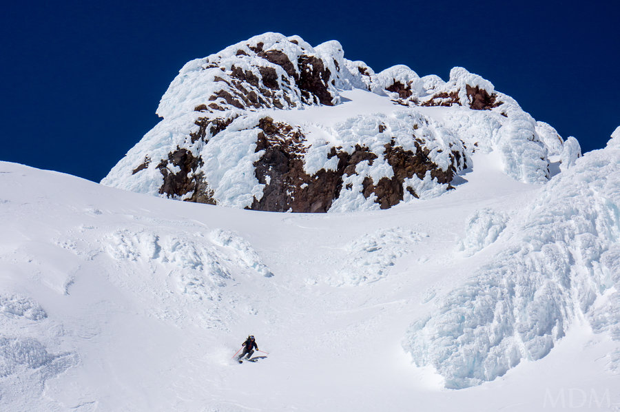
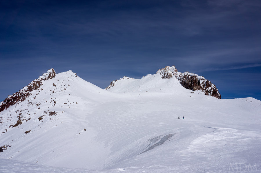
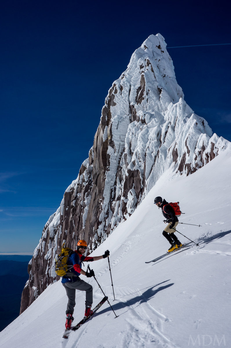
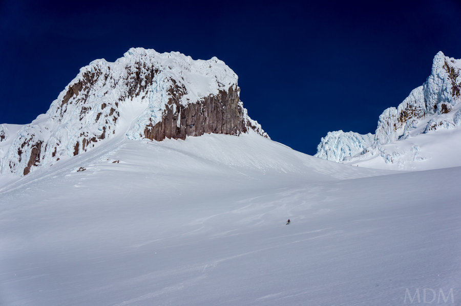
I knew from looking down the SE ridge when climbing North Sister that Soap Creek originates below the Thayer Glacier moraine lake. On previous climbing trips I'd followed a climbers trail up soap creek but veered off before we got to the headwaters. This time I wanted to explore that area.
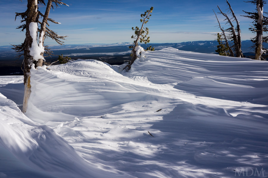
I was blown away and would love to go back again. Veritable parkland.
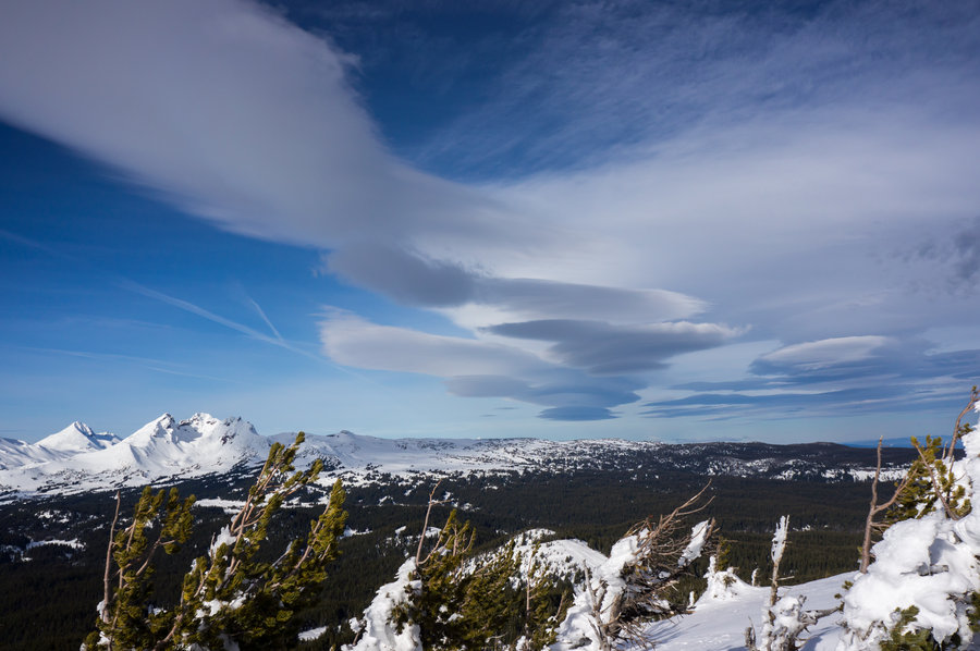
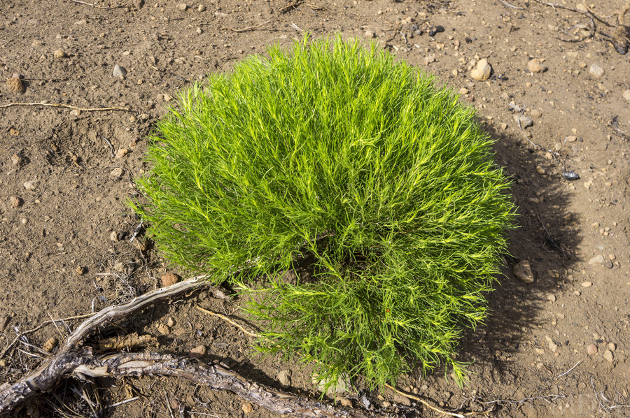
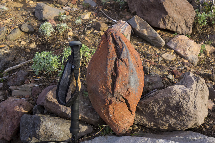
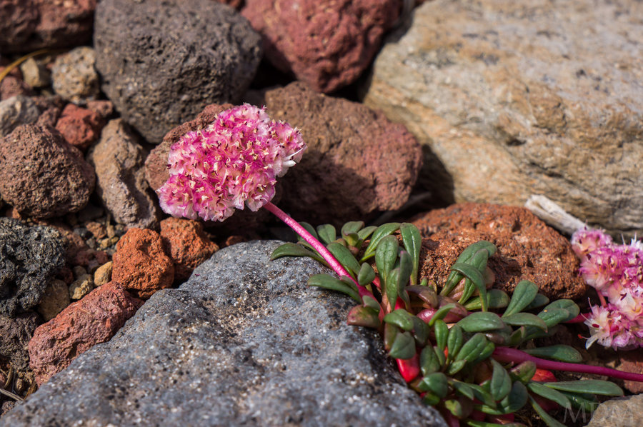
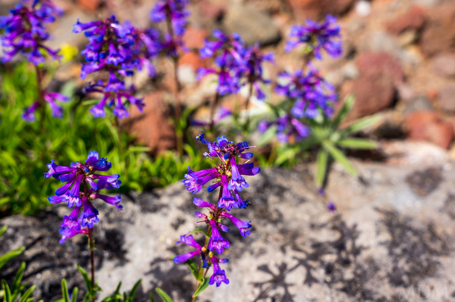
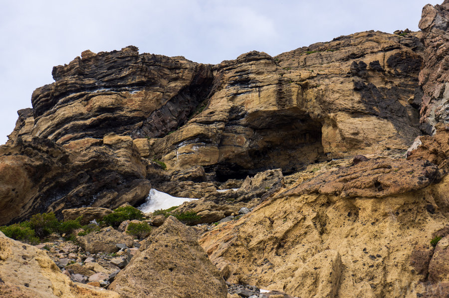
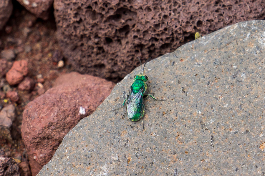
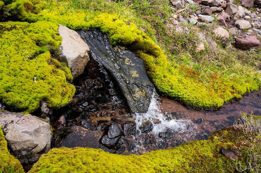
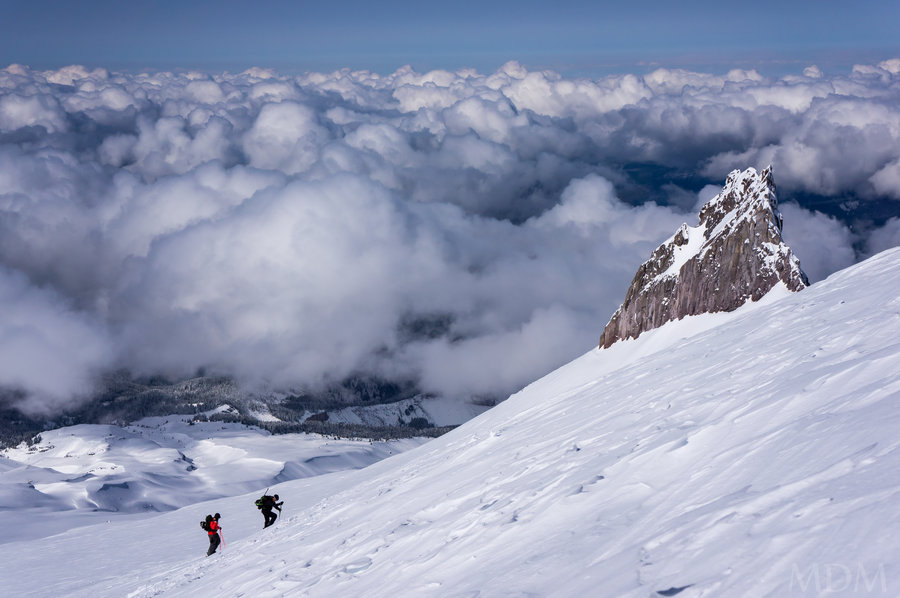
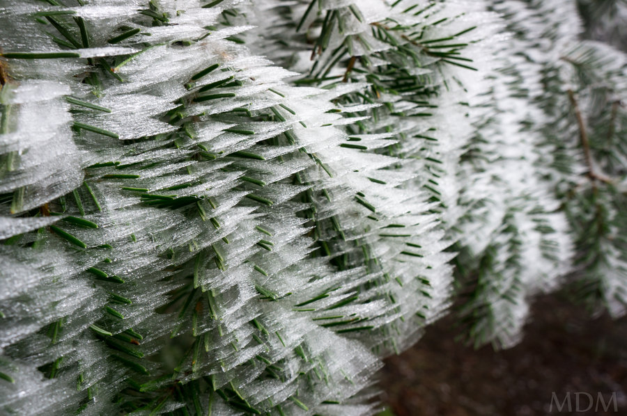
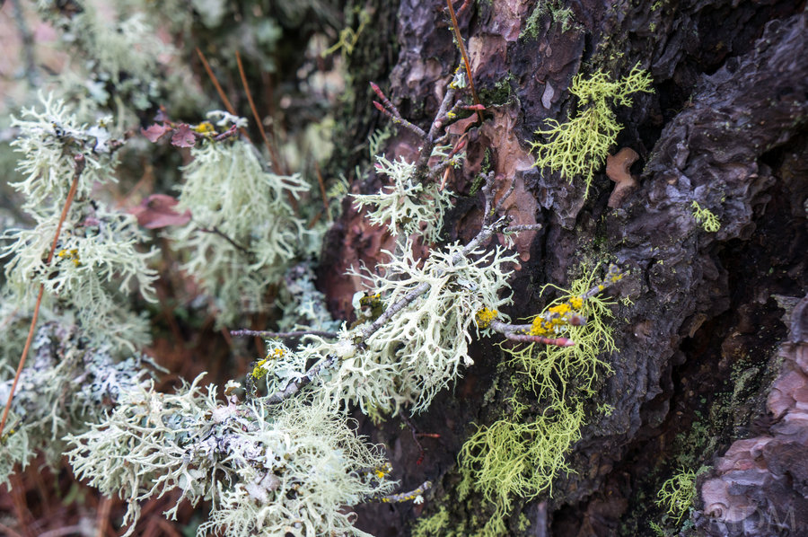
A few highlights: White Lupine (don't see that very often), fantastic groves of White Bark pine trees. Must be very old. Flat area that looks like it was a moraine lake in the past. Has some great camping and fun 'boulders' around it. Layers of North Sister's rock. I can't believe the colors on this mountain and the layering. Deep ocher red, black, brown, tan, tuft, cinders, andesite, hanging electric green moss gardens--quite the geology and visual smorgasbord for a mountain. Then there are the caves, so many--have to wonder how much bird nesting and bat use any of them get. Finally seeing Thayer Glacier moraine lake and playing around where soap creek springs emerge below was wonderful. I wonder if the lake depth corresponds roughly to the spring location or if it is traveling quite a bit underground. I've read it is about 80ft deep.

June 20 – June 21, 2015


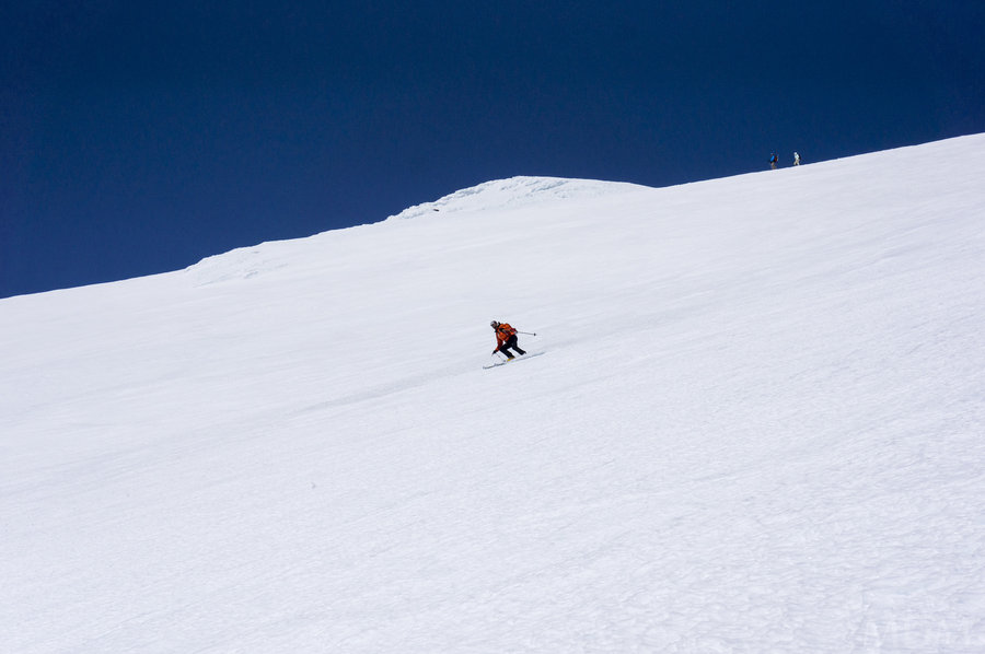
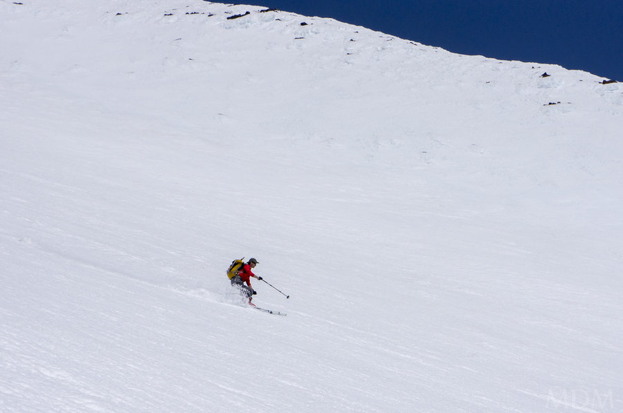
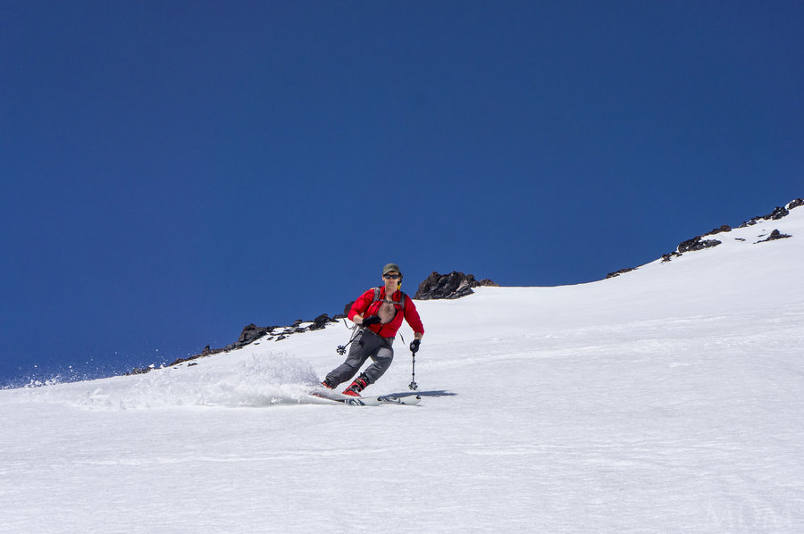
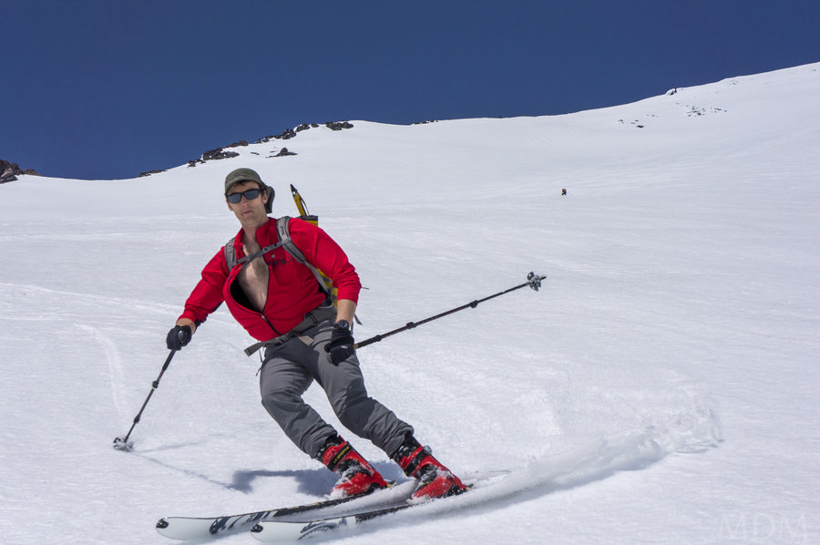
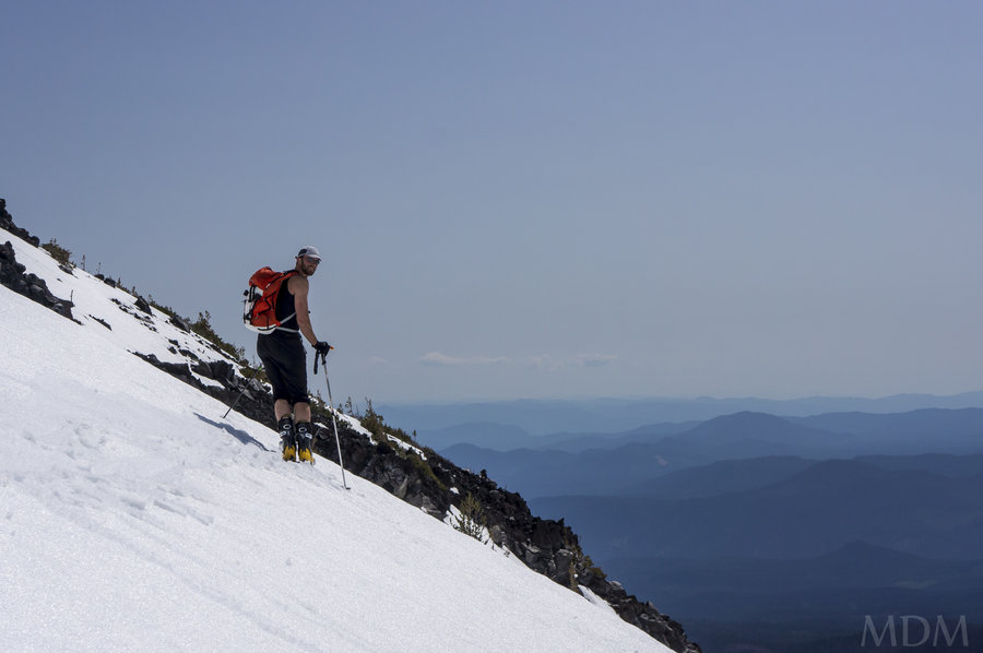
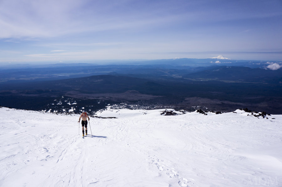
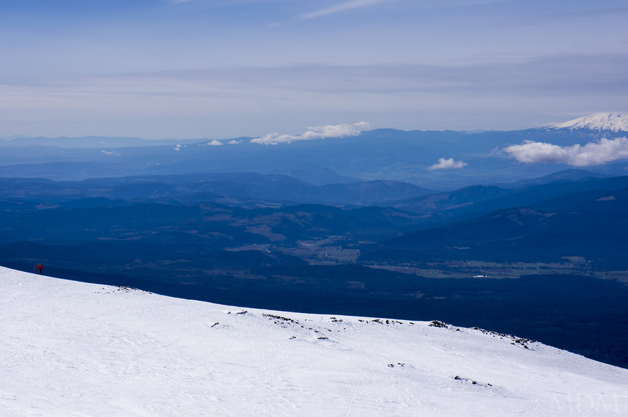
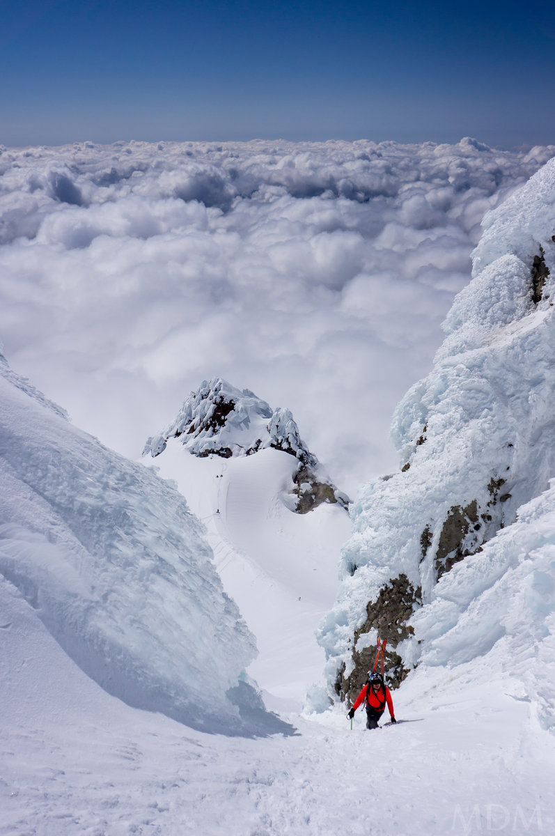
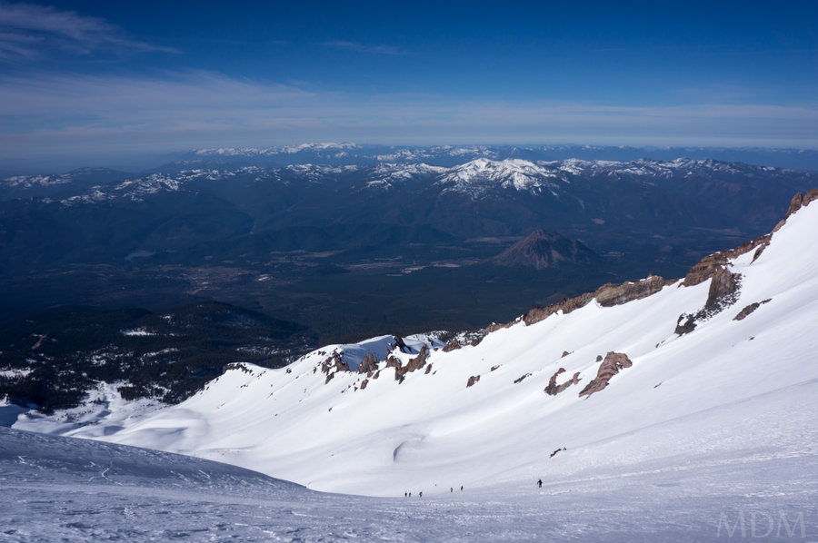
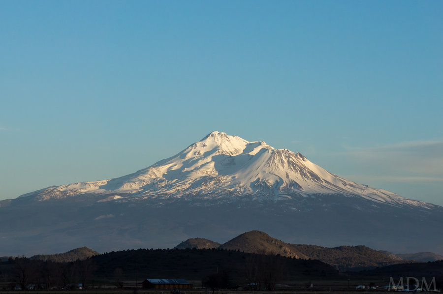
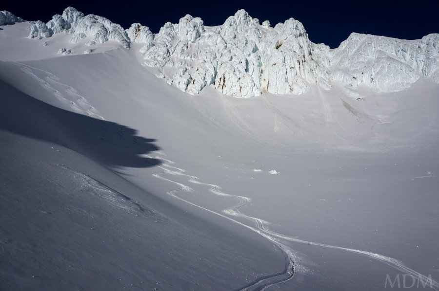
Adams full, SW Chutes
13 miles of hiking • 7000' elevation gain •
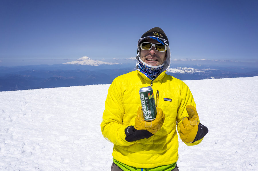
full monty this time. skied from the summit proper, actually really excellent down to pikers. My wife, Bucket, also went with, but topped out at Pikers with partner Ian. Louis, Ian, and I skied the SW chutes then traversed over to near equal with the summer climb route above crescent glacier. Bucket made it to the car about 15 minutes before us.. that said, we did traverse w/ skins about 1.25 miles after skiing the SW chutes, then spent about 20 minutes drinking beer before the final ski to the car. on the way home, while still on the FS road Bucket and I put an offer in on a home through our phones. We now live in said home. crazy technology!
May 3, 2015


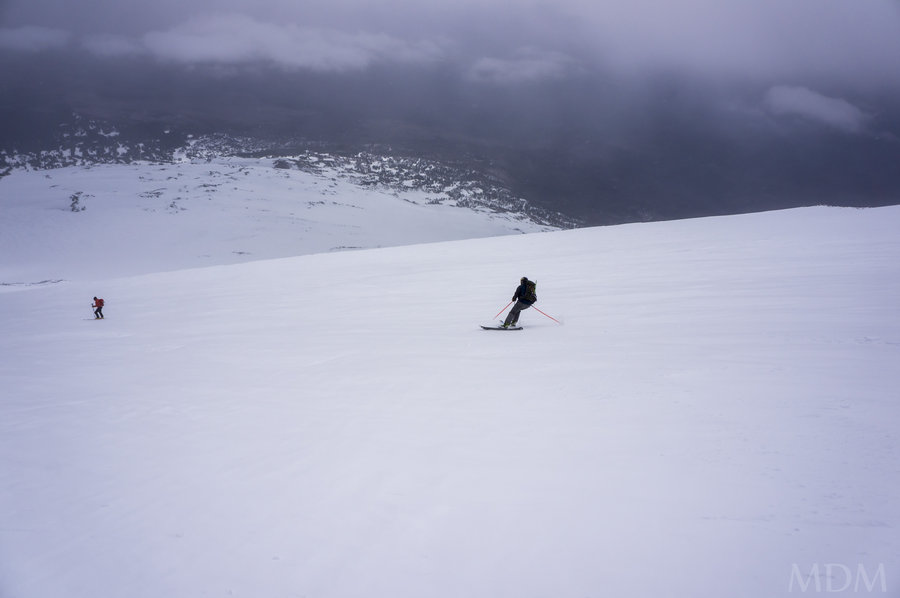
Adams Partial
10 miles of hiking • 5000' elevation gain •
made it to just around pikers. weather/clouds came in, no fun skiing in a whiteout. didn't have good skinning purchase. an 'ok' ski down...kind of a challenging day.
food at big mans compensated for this..
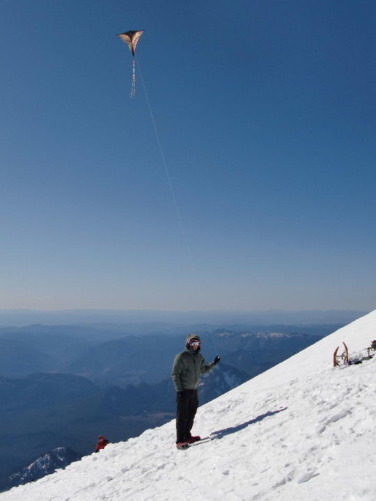
April 26, 2015


Mt. Adams Ski
12 miles of hiking • 6750' elevation gain •
pictures later. wow. feels like july. snow gone at the lot mostly. this is crazy
also snowmobilers went up to lunch counter, flagrant wilderness violation.
April 19, 2015
 1
1
PG Easty chute with Devin.
6 miles of hiking • 5500' elevation gain •
wow, getting super easy (not the effort to get to the top, but the conditions of the east pearly gate). great ski conditions..got my bud his first summit. he's strong as hell with his fatty skis..
April 4, 2015


PG East chute with Lman
6 miles of hiking • 5500' elevation gain •
pretty easy with the snow filling in the PG east chute more and more
March 29, 2015

y-09889.jpg)
y-09890.jpg)
y-09898.jpg)
y-09912.jpg)
y-09997.jpg)


wind advisory high hogsback
5.5 miles of hiking • 5250' elevation gain •
base of PG. sketch snow, so beer and ski
February 8, 2015

January 31, 2015


January 25, 2015


January 10, 2015

 1
1
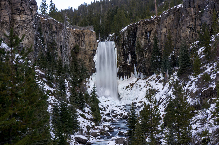
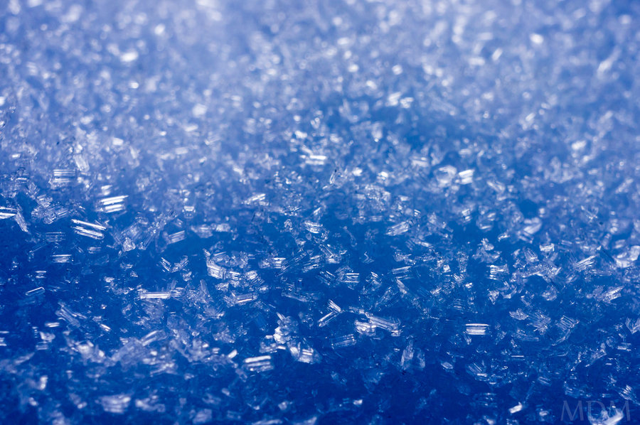
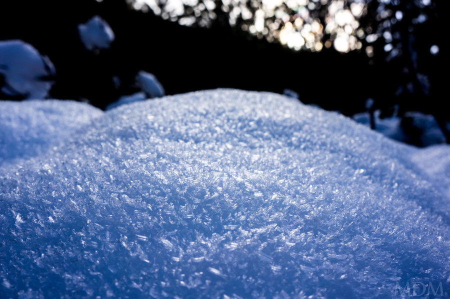
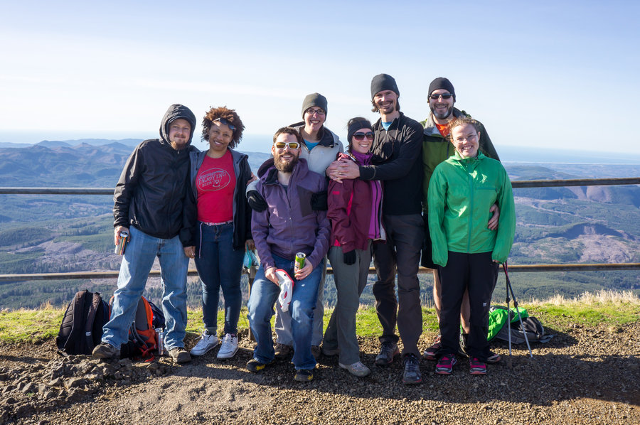
Foolin in Bend - Tumalos (River & Mnt)
9 miles of hiking • 1500' elevation gain •
boogie boogie Bend fun.
January 2, 2015