2013 Trips

 1
1
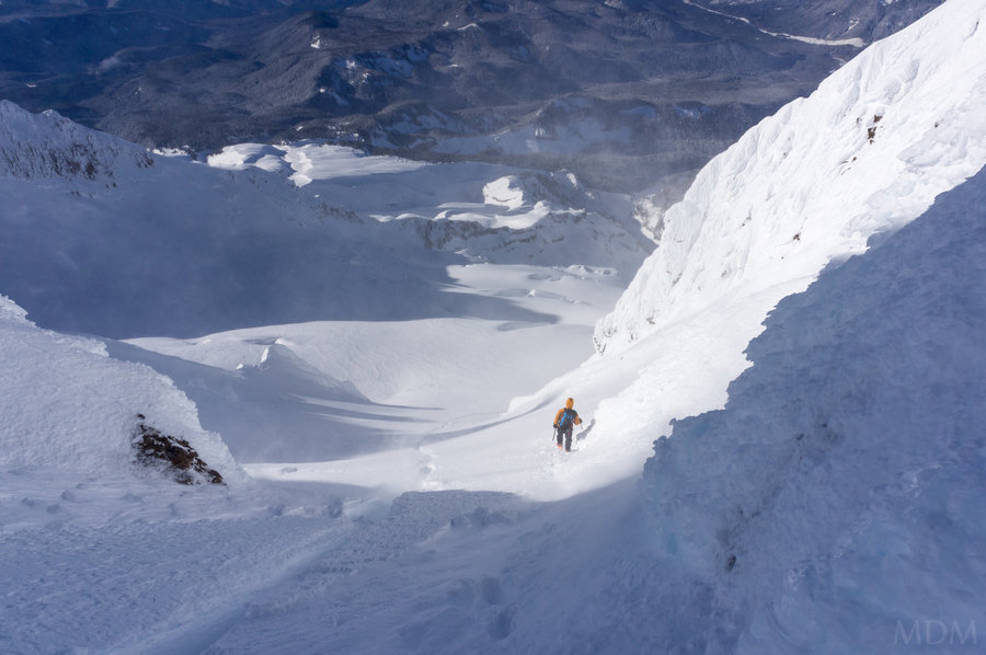
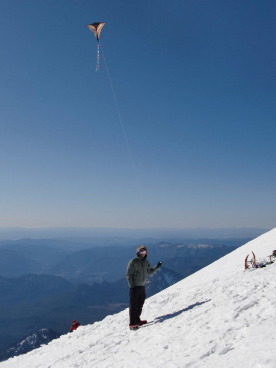
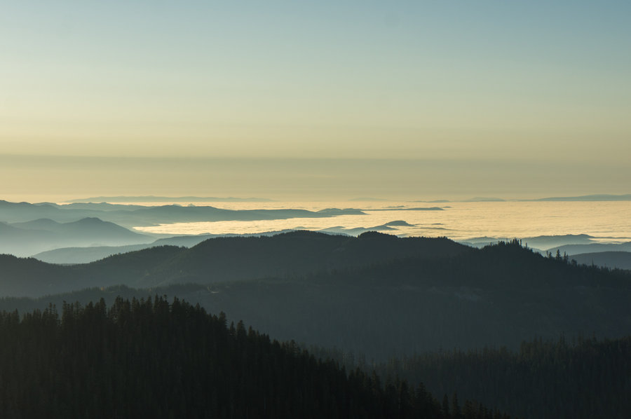
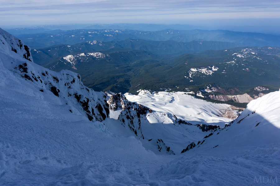
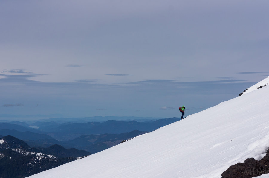
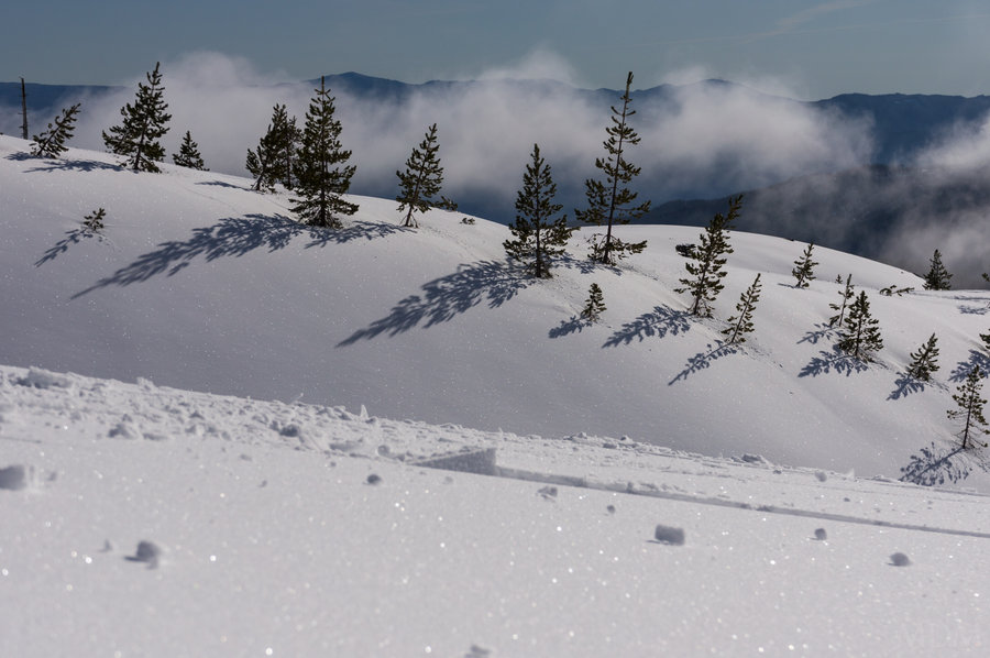
Hood Again
6 miles of hiking • 5250' elevation gain •
not much to report. carried skis to top of triangle moraine and stashed them--soft snow never made an appearance as I went higher, much to my disappointment. fine (1cm?) rain crust atop all the mountain from crater rock level up. topped out in the old chute. carried skis back to top of palmer, slightly bruised ski-ego after the blue-ice slide 20ft from palmer lift towers a week prior to this trip.

December 16, 2013
 1
1
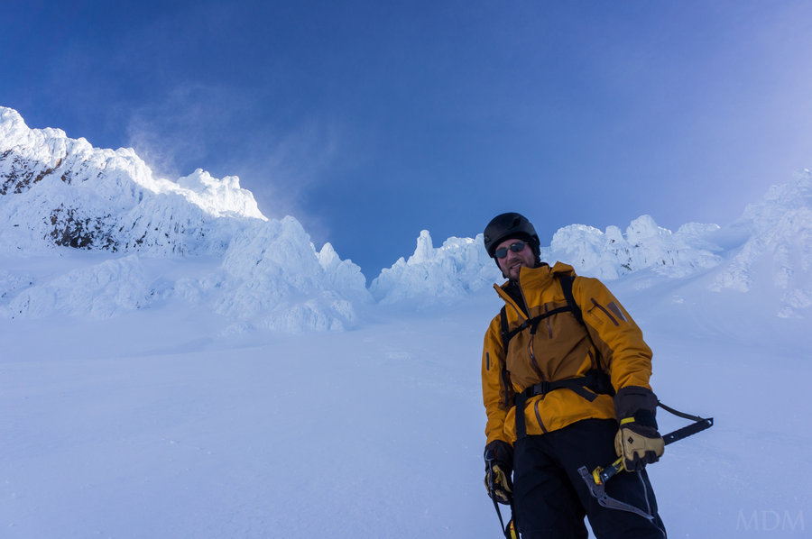
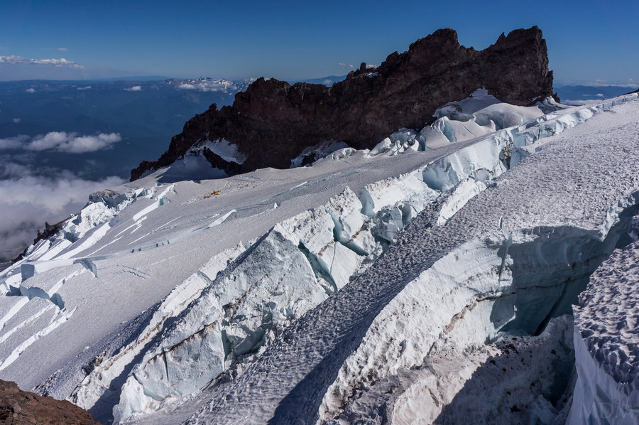
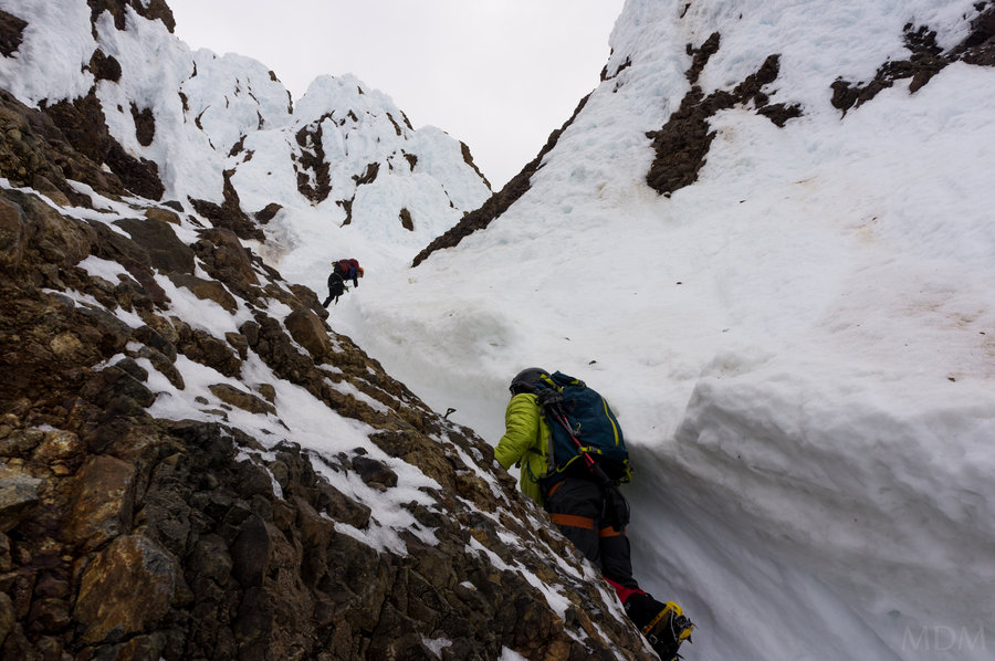
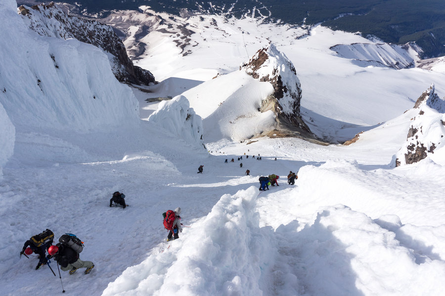
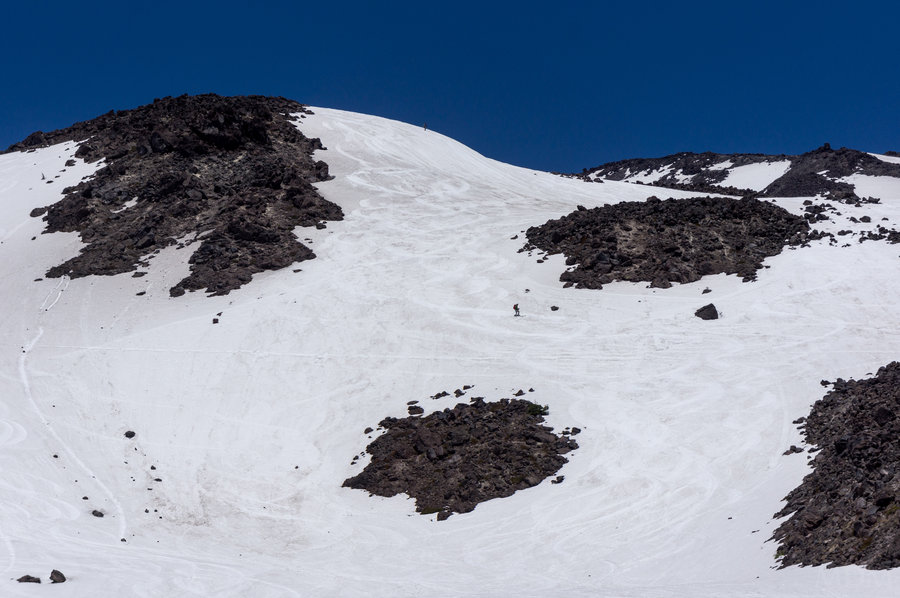
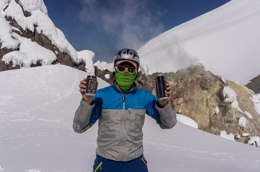
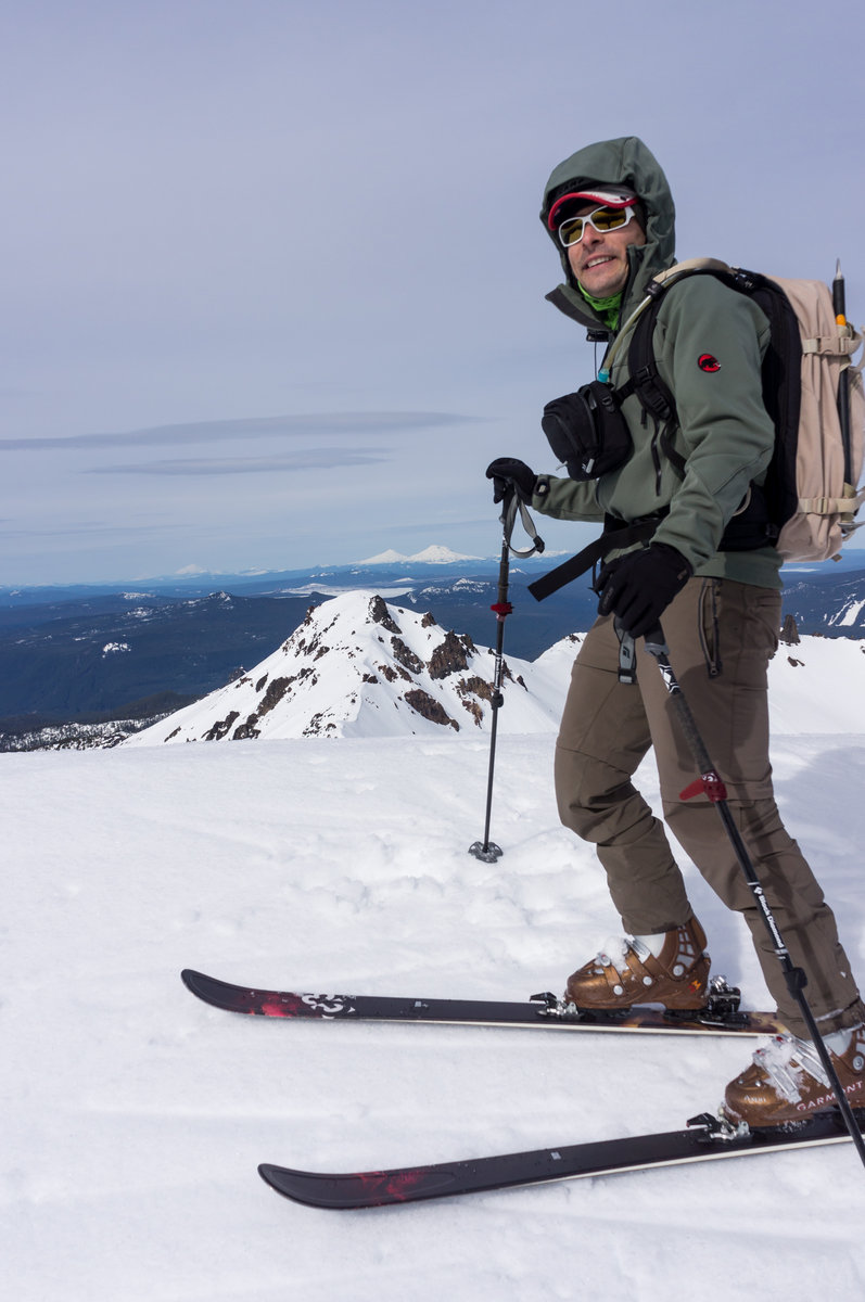
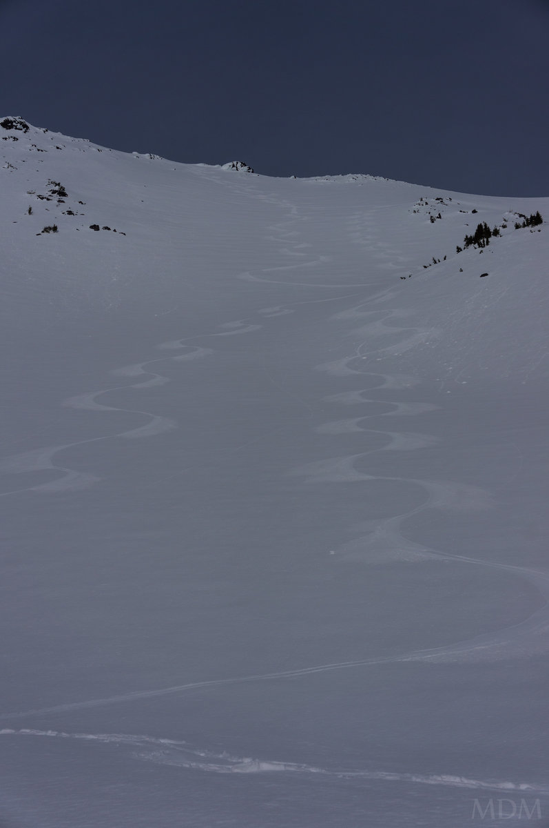
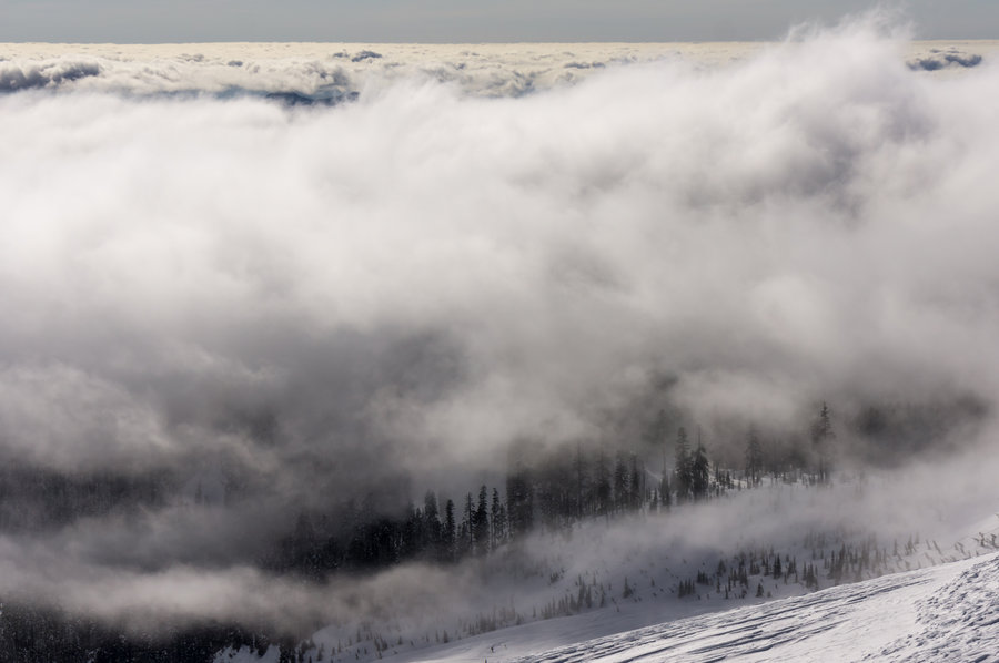
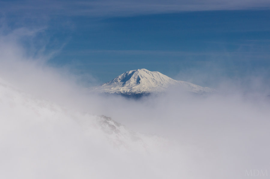
Old Chute Ski
6 miles of hiking • 5250' elevation gain •
only a few people on the mnt this day. the weather was whippin in the mid-morn but then it got progressively more beautiful, warm, clear, and windless!
We skied 90% of the old chute--the top 50~ foot was too icy. Skied down west crater rim and stayed to the west of crater rock-never been down that side before. Old chute was powder on top of very rough ice (not smooth), then below turned to wind-compacted powder crust about 1inch deep, with some semi light powder under it--challenging--and from there when to a more consolidated surface with chickenheads of blue ice, firm wind compacted powder, and then loose wind deposited powder in spots.
December 8, 2013

Ski from Hogsback
6 miles of hiking • 4500' elevation gain •
solo trip out to test some new touring boots. hung at the hogs and saw people from PDXhikers/here and some other friends enjoyable ski down
November 24, 2013
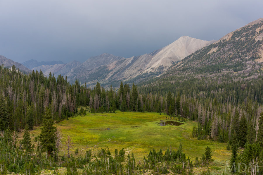
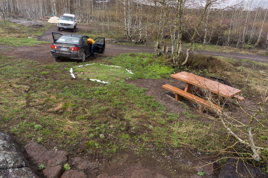
 2
2
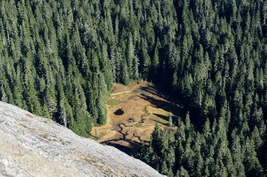
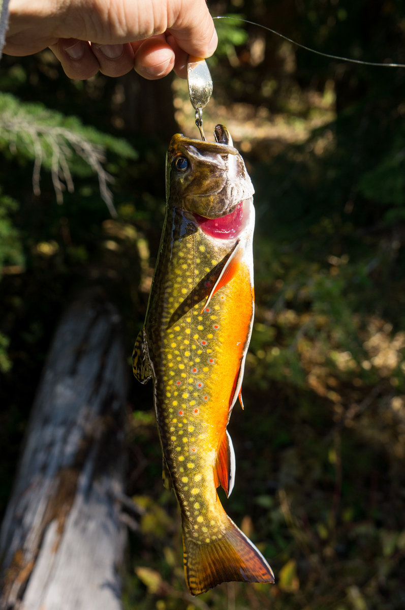
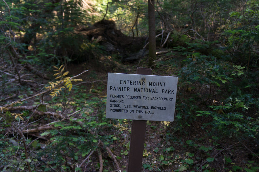
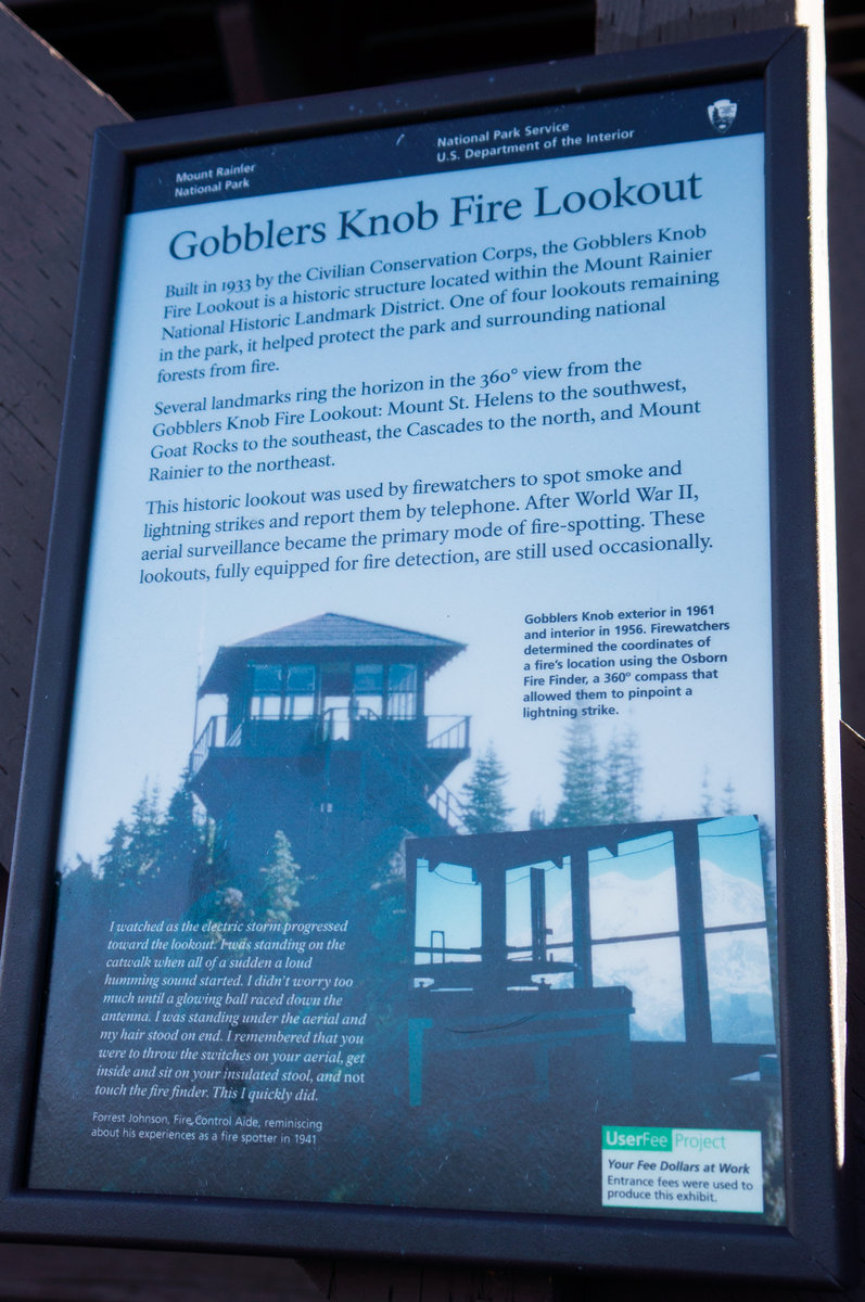
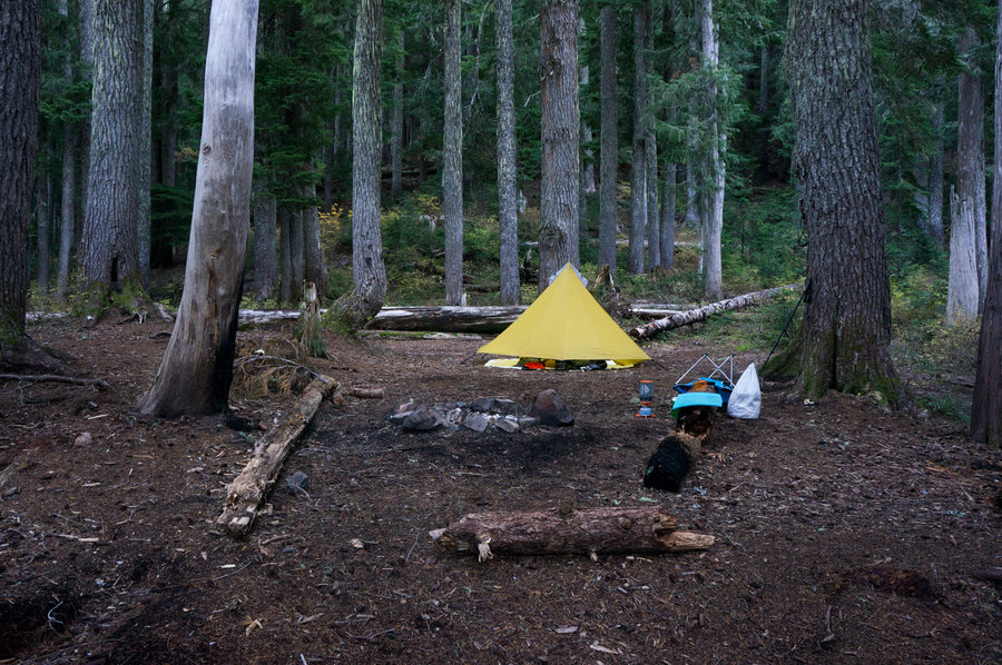
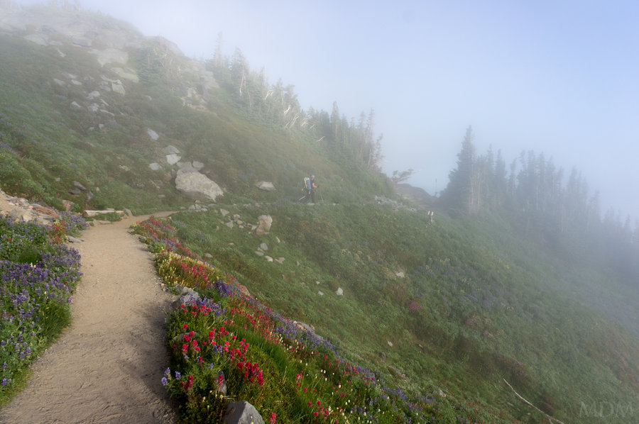
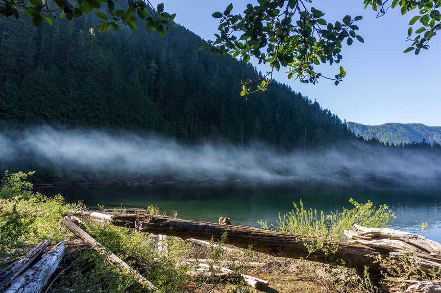
Glacier View Wilderness / MRNP
12 miles of hiking • 4500' elevation gain • 1 night
As reported by Jeremiah..
Fish were interesting, schooling behavior.
Great to camp out. Really enjoyed how silent it was at night, not a cricket, peeper frog, or even rustle from the wind.
Beautiful little corner of "MRNP", nice to skip the red tape.
Gobblers Knob has a name that cannot be improved upon.
October 19 – October 20, 2013


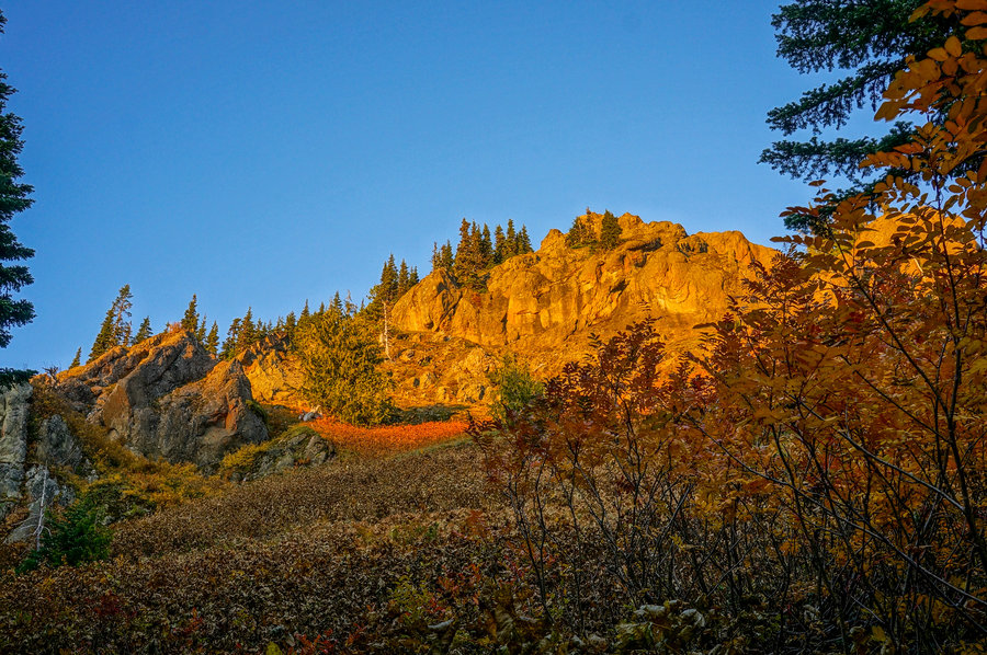
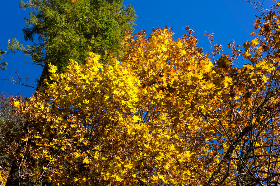
Wallowas with MIL
14 miles of hiking • 4000' elevation gain • 3 nights
it rained a lot. for oregon. eastern oregon. in aug/sept. boo hiss.
September 2 – September 5, 2013
 2
2
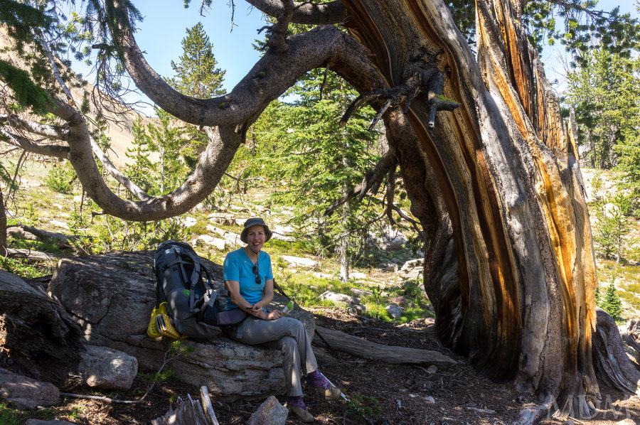
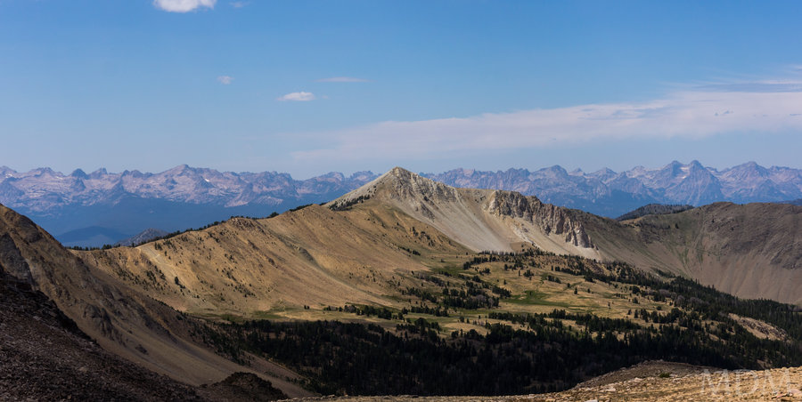
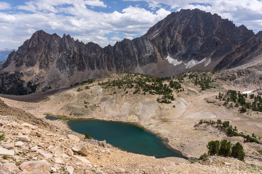
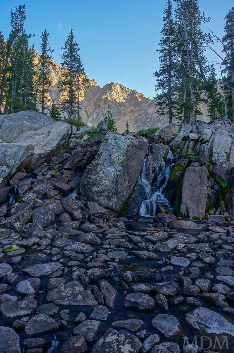
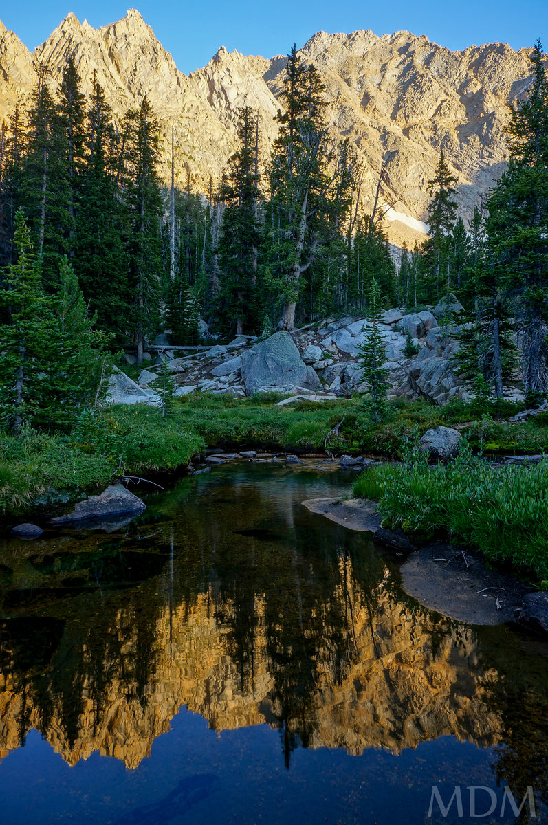
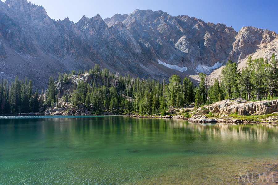
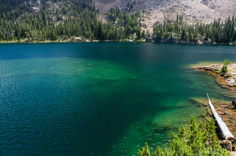
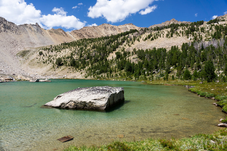
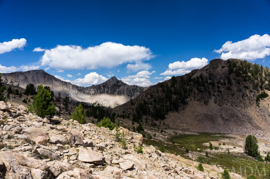
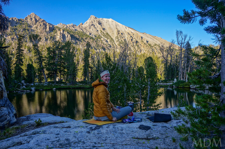
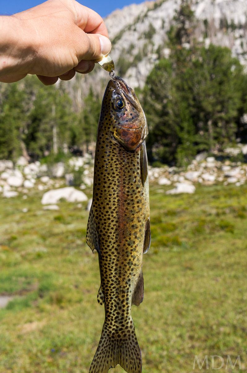
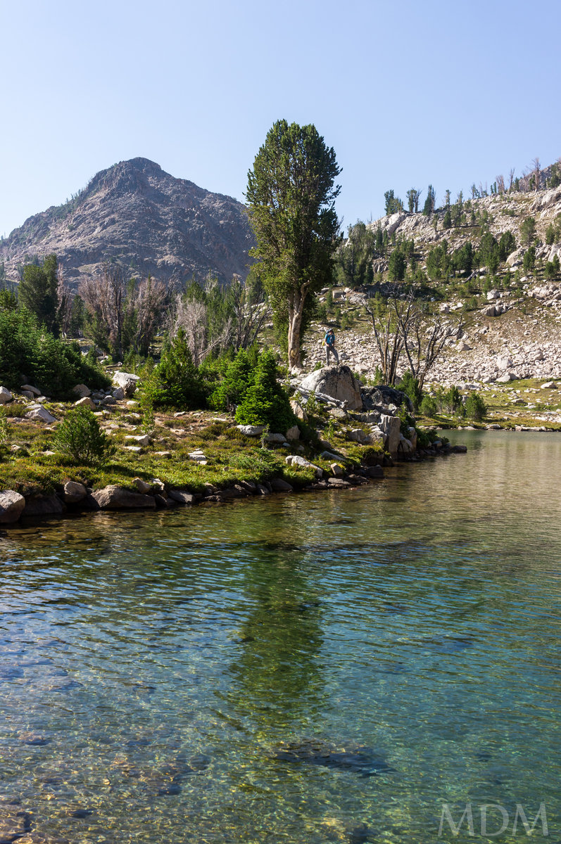
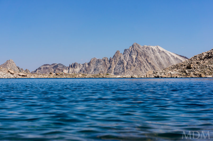
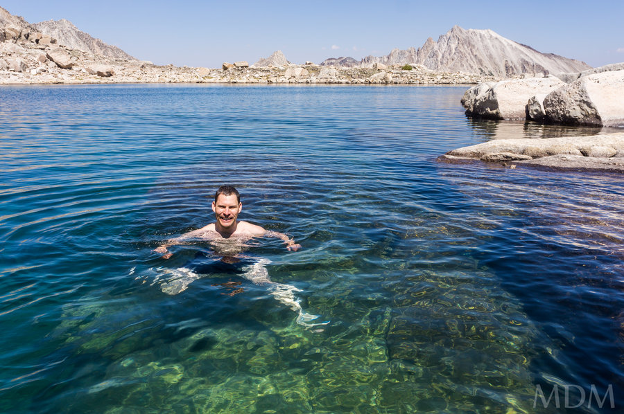
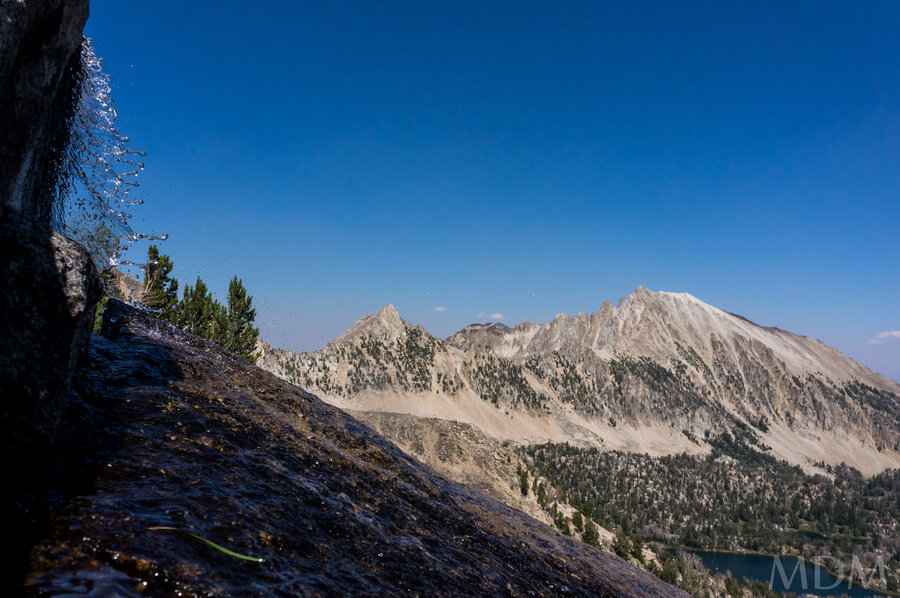
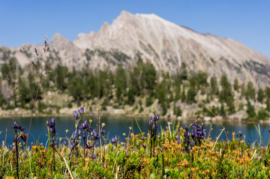
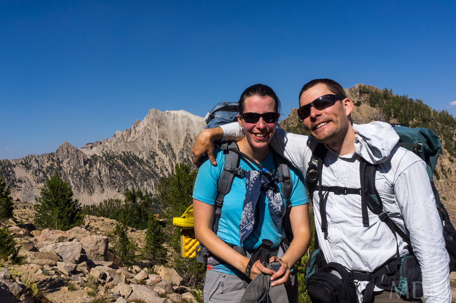
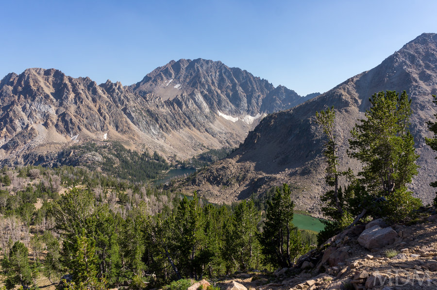
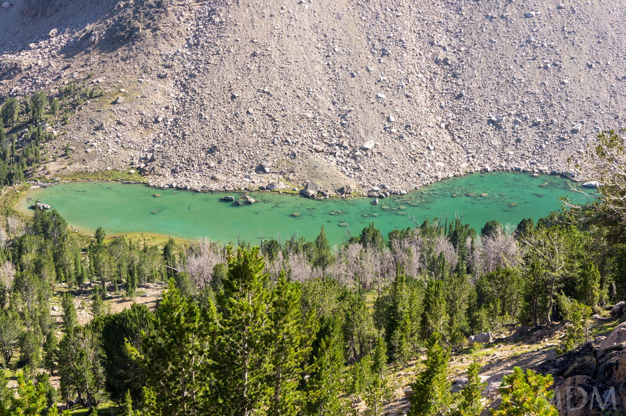
White Clouds, Idaho
20 miles of hiking • 8000' elevation gain • 5 nights
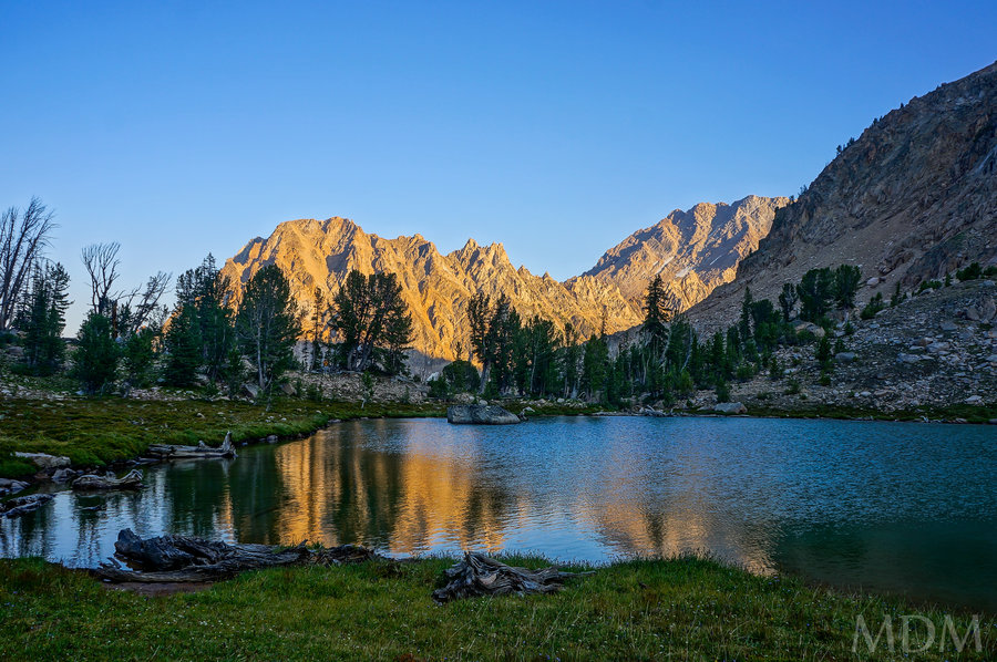
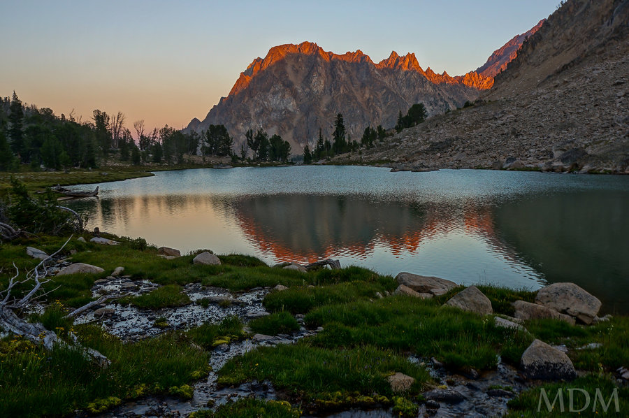
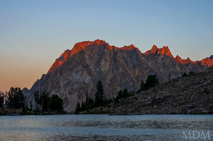
Bucket and I had been jonesing to get to the White Clouds or Sawtooths for a few years now. But one thing or another stepped in the way, backpacking trips to Canada, time on a friend's wonderful ranch in Montana, fires in Idaho... But eventually things came together. We had a solid block of time before getting to a wedding at said wonderful ranch at the end of the week.
In large part this was inspired by awildman -- much thanks should go out to her for her beta and reassurance to somewhat acrophobic Bucket that there would be nothing more involved than some 'challenging' hiking -- aka no cliffs, no mantle-worthy scramble moves, etc. Thank you for those reassurances!
Needless to say this turned into much more of a backpacking/lake-enjoying trip than a mileage jaunt intended to 'cover the most terrain and see as much as possible' -- a common heuristic trap I fall into when exploring new areas.
Day 1: Burgers and good Beer overlooking the Salmon River and the Sawtooths in Stanely, Id. Camped at the 4th of July TH as it was near-dusk and didn't seem to be much gained by doing a few miles when the total to the first night's camp was going to be around 8.
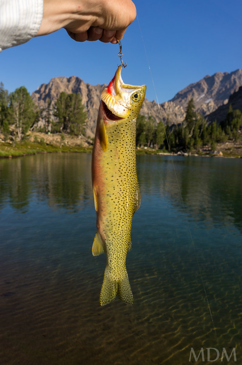
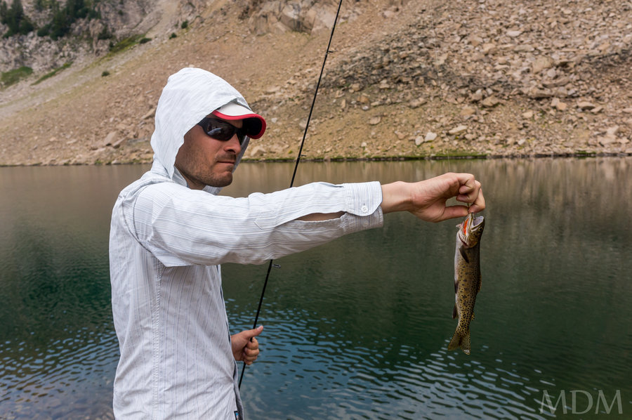
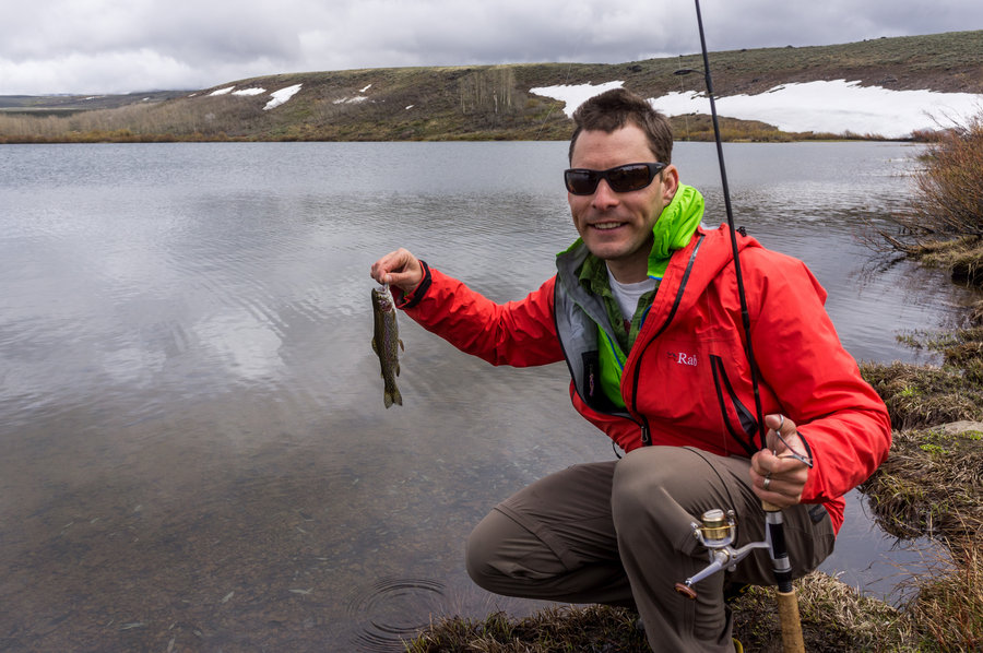
Day 2: 4th of July TH to Antz Basin and Boorn/Born (?) Lakes basin and then off trail to the 4 lakes basin. Scenic. And that is a huge understatement. Lots of big views, beautiful old trees that look like stained teak, flowers, and some ground squirrels. Off trail was easy enough, the high lakes just have such wonderful colors. Ended up at Quiet Lake... which was pretty quiet. Beautiful along the backside of Castle Mountain/Merriman Peak, serrate ridge. Fishing with no bites in the evening..
Day 3: Up, breakfast and beauty. A few casts and the 'one that got away' - Up and more 'off trail' (fairly well trodden) trail to two more lakes. Then more OT into Windy Devil Pass, great views, the Boulder Chain Lakes basin.. to Hummuck Lake. Great campsite, kind of had our pick. Swimming in the Lake. Dinner, stars.
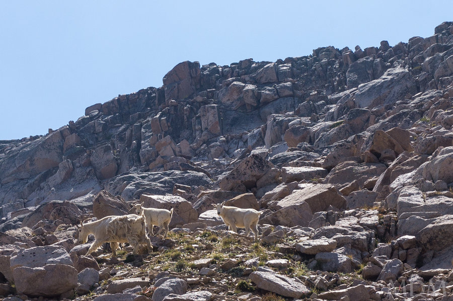
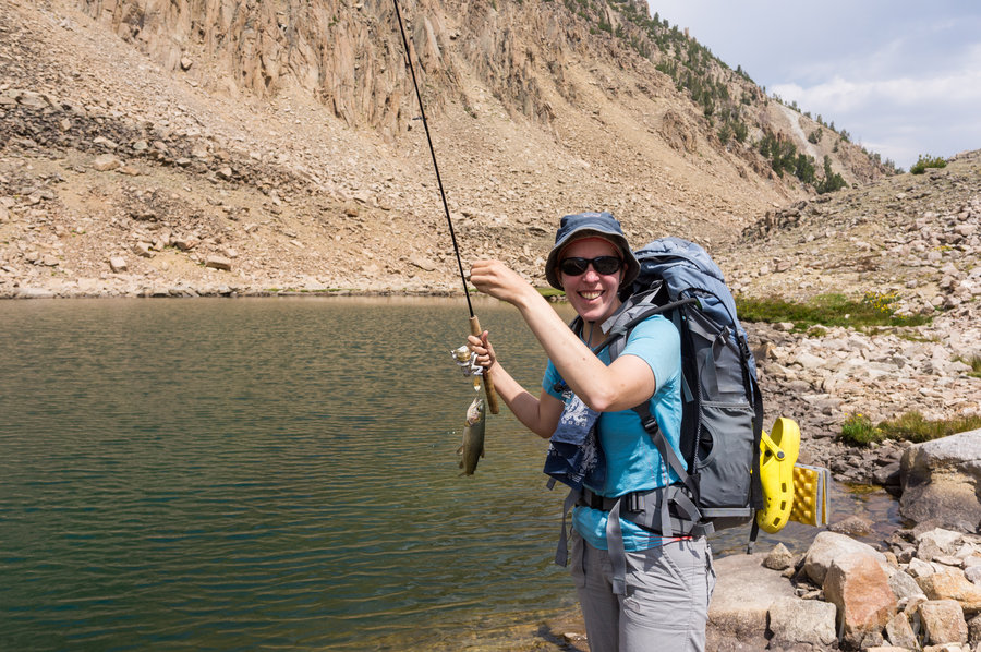
Day 4: Decision to not do a loop, but instead enjoy what we'd already seen more or less. Explored the rest of Hummuck lake, caught a dark rainbow trout out of a little hole in a meadow, saw Hidden and Headwall Lake, hike up to Lonesome lake at 10,435. There NO fish here, believe me, I tried with great diligence. It is a deep, very clear, very cold lake, but no fish. Swam in the cold waters, watched some youths peak-bag and act the foo, walked around the lake, then decended and went back to Windy Devil Pass. Saw some Mountain Goats. Then went OT to camp at Shallow Lake - our favorite spot. Lots of keeper-sized cut-throat trout. Catch on every cast, spoon, fly, etc. beautiful water. Fantastic camp spot. Halcyon days..
Day 5: Short hike back to Quiet Lake. Get the 'ideal' campsite right next to the inlet stream. More fishing but just a single mediocre catch but evidence abound of larger fish and others who've caught more (worms, better technique?). Dancing sky with signs of instability - a few bits of rain but nothing much. Bucket gets half way into the lake which is progress for her lack of mountain lake swimming, compared to me, who goes in just about anything! More fishing, relaxing, enjoying the abounding beauty surrounding us.
Day 6: Hike to the Boorn/Born lakes--with Bucket doing some fishing in Cornice Lake. The sky is constantly threatening. Shortly thereafter we make it over the final bit of OT back to the Boorn/Born lakes under spitting skies and thunder with a tinge of lightning. Then the wild grey yonder opened up a bit more with the rain, and at 5 or so miles from the TH, along with a slight medical (non-threatening) ailment coming up for me, it was decided to just make it back to the car this day vs hiking out in the AM--after all we had a room booked in the beautiful, lovely, scenic town of Butte Mt. for the following night, no desire to be late for that (ok Butte has a lot of awesome aspects, truth be told).
Loved the peach granitic rock--so sharp, so tacky and grippy--could bop around the lake in tread-bare crocs and have plenty of traction!
August 3 – August 8, 2013

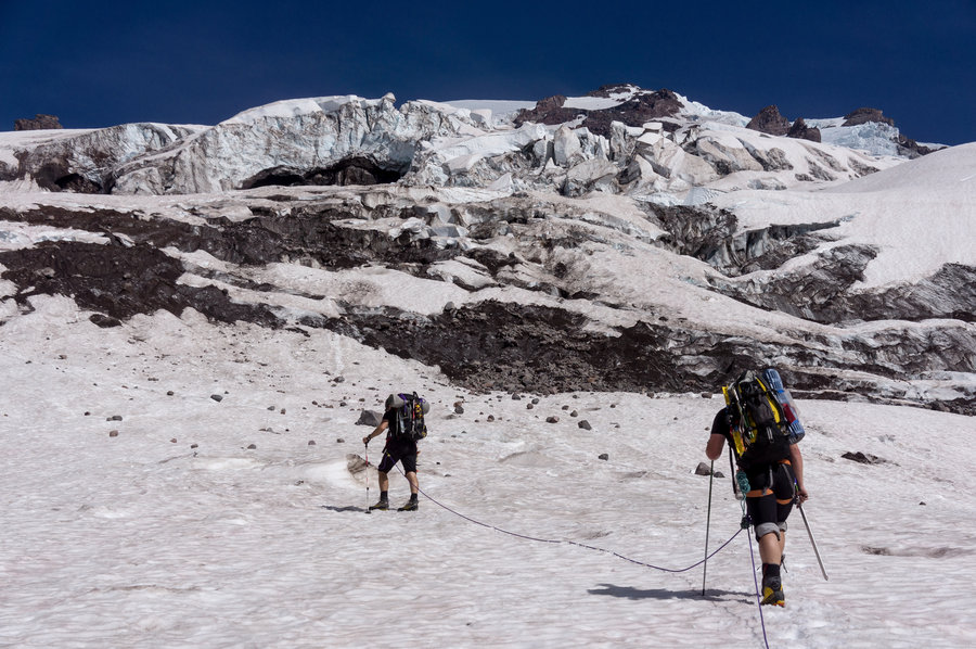
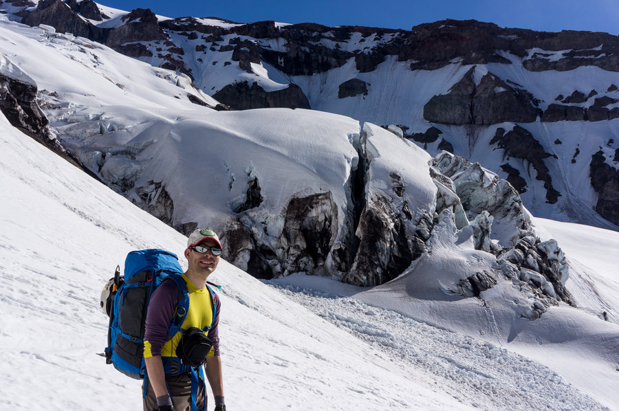
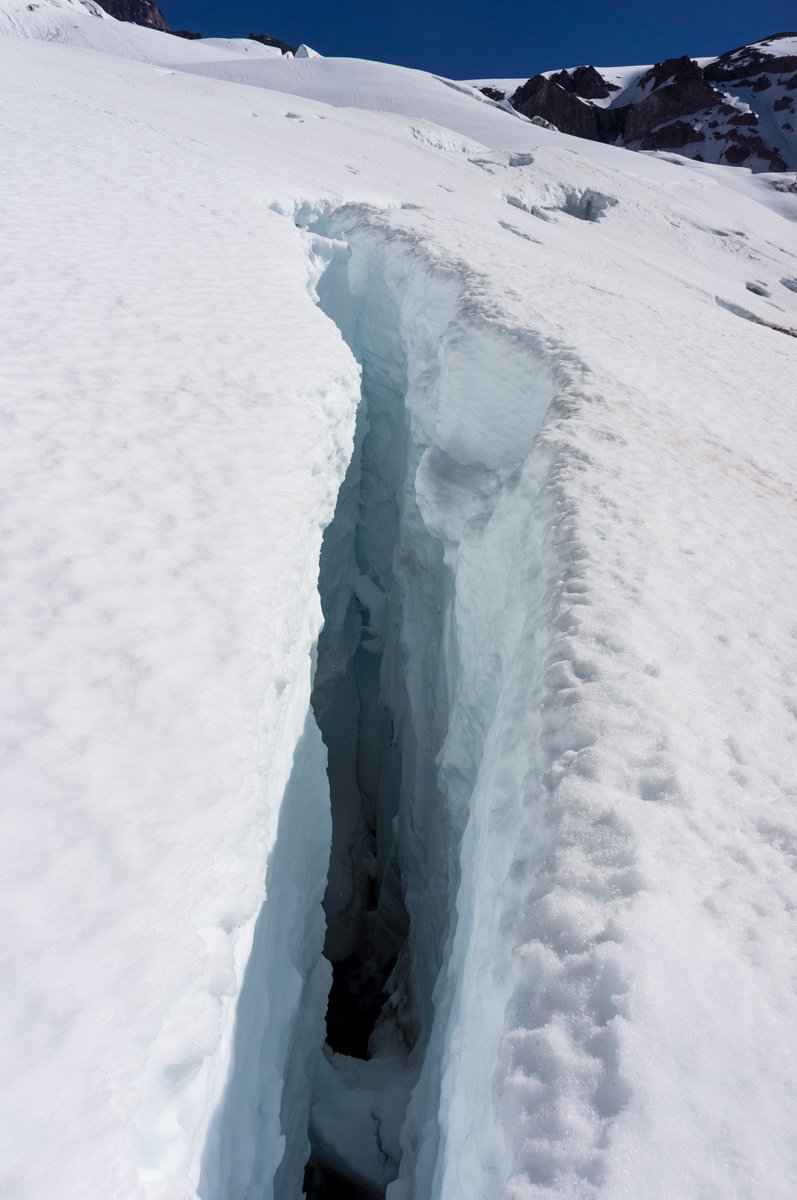
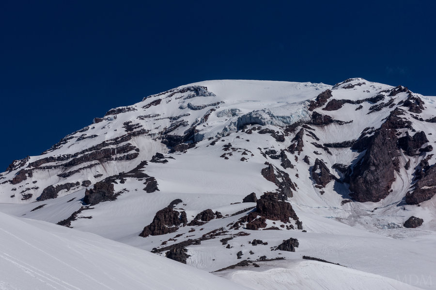
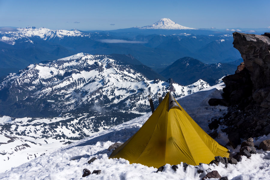
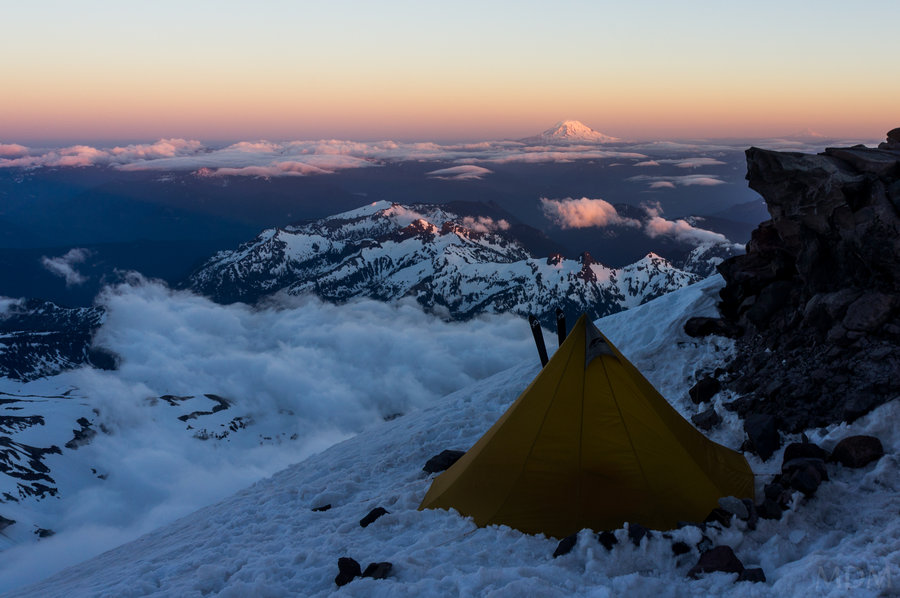
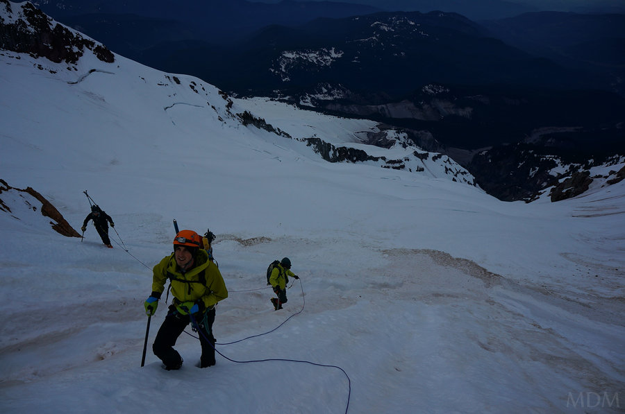
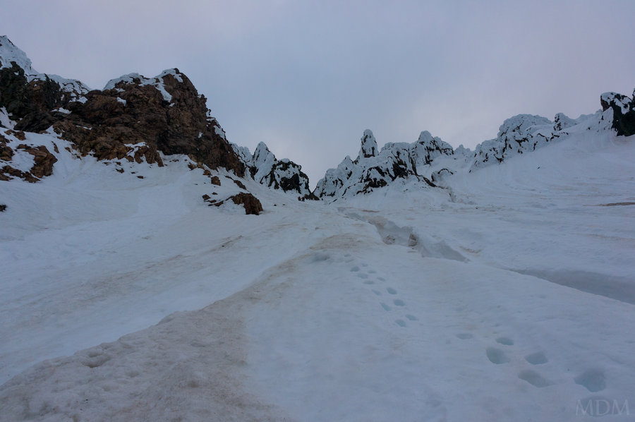
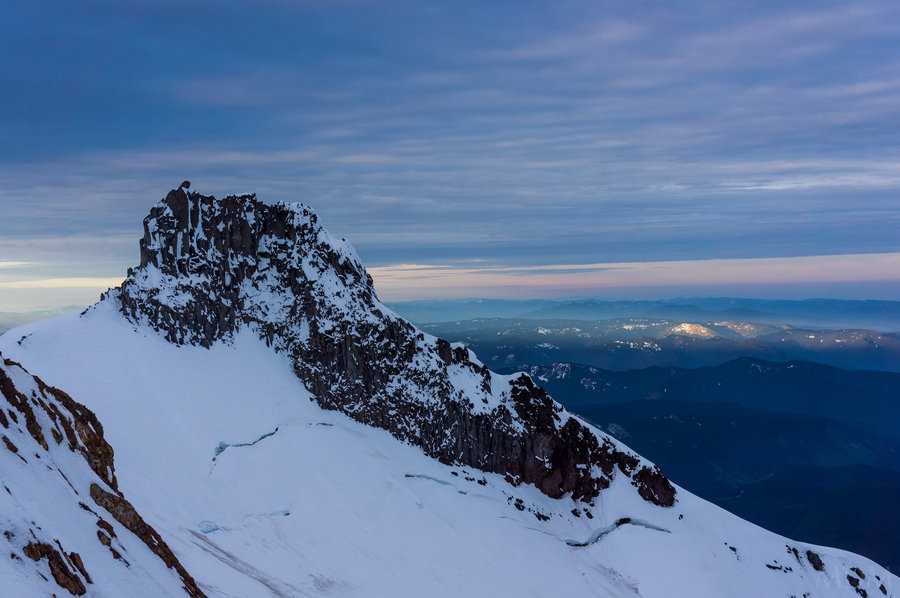
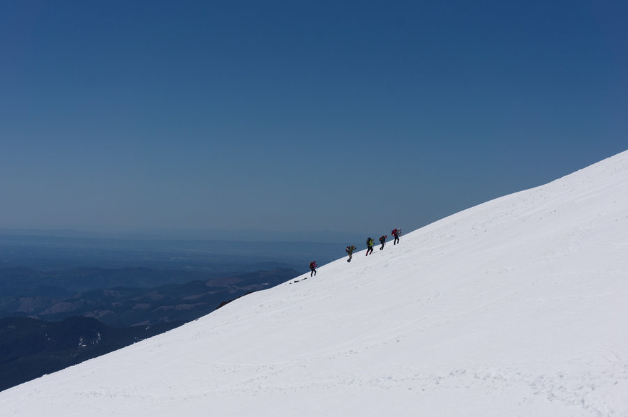
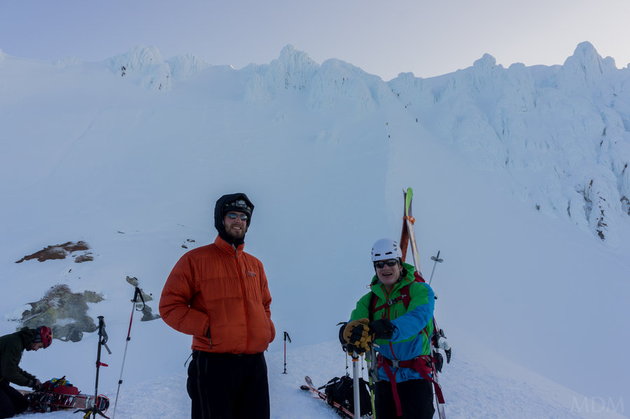
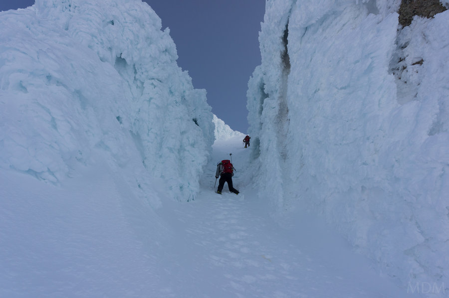
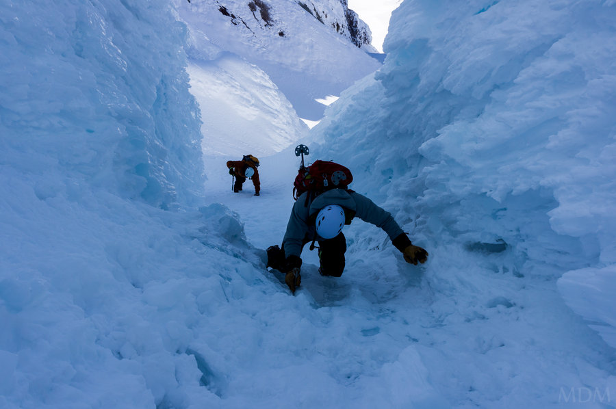
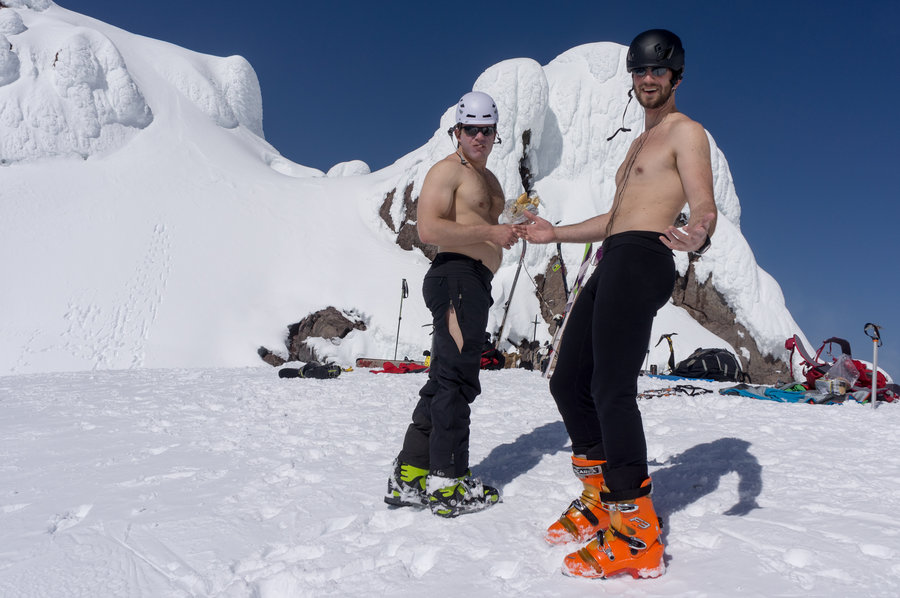
kautz success, DC descent
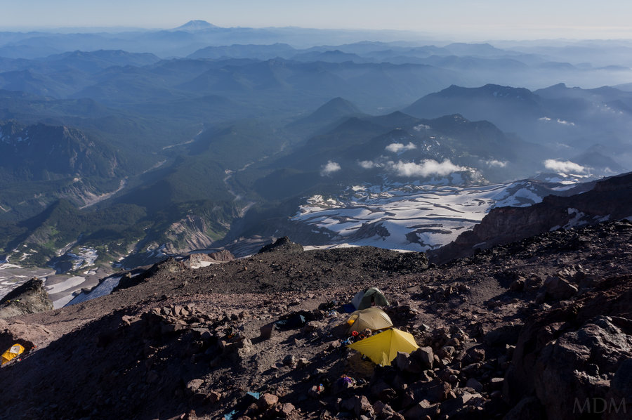
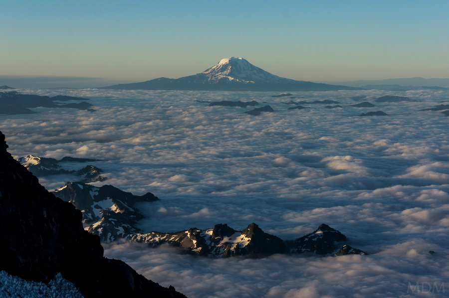
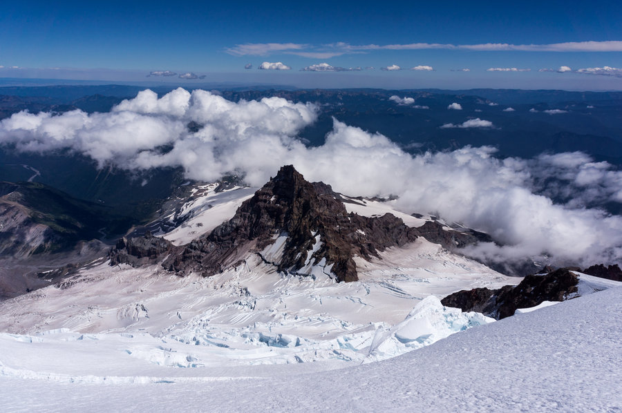
13 miles of hiking • 10750' elevation gain • 1 night
success on the Kautz this summer. descended the DC route-my first time on that one above Ingraham Flats. the DC route is horribly dangerous, Kautz felt way safer. All said we felt worked by the time we were back to the cars, carrying over everything on the mnt was some work!
July 20 – July 21, 2013

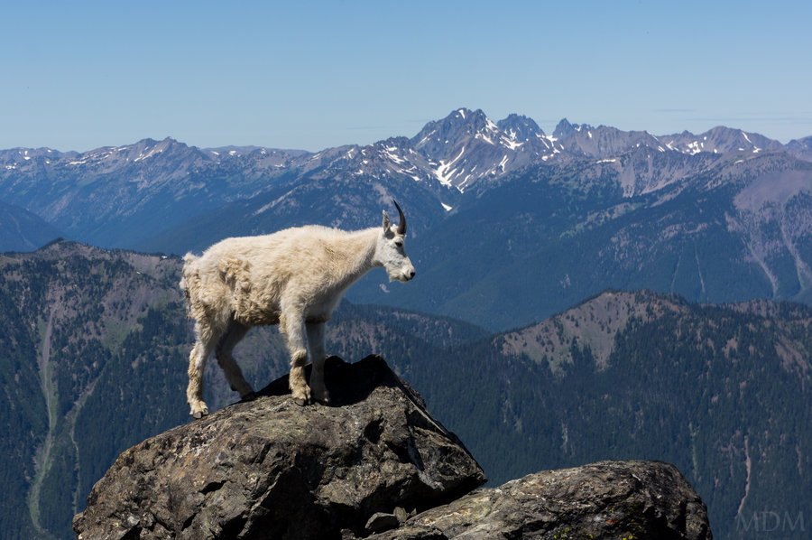
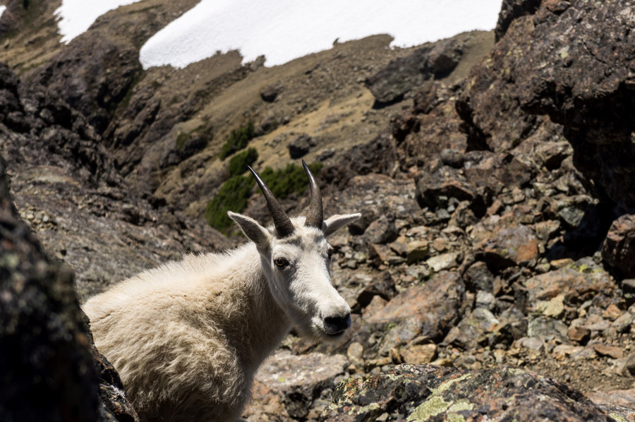
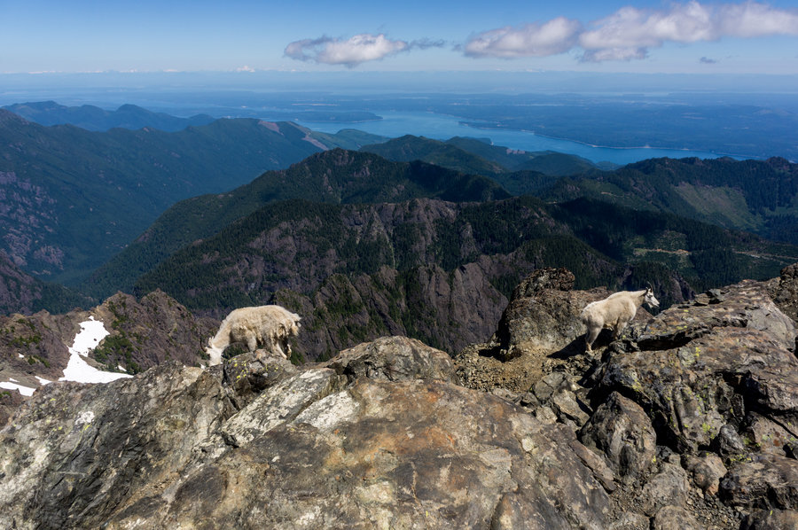
The Brothers, Olympics
16 miles of hiking • 6500' elevation gain •
A Classic scramble with goats, old growth, a pretty river, a lake, and views of the Cascade and Olympic range, and Puget Sound between.
July 15, 2013

July 4 – July 6, 2013

June 29 – June 30, 2013

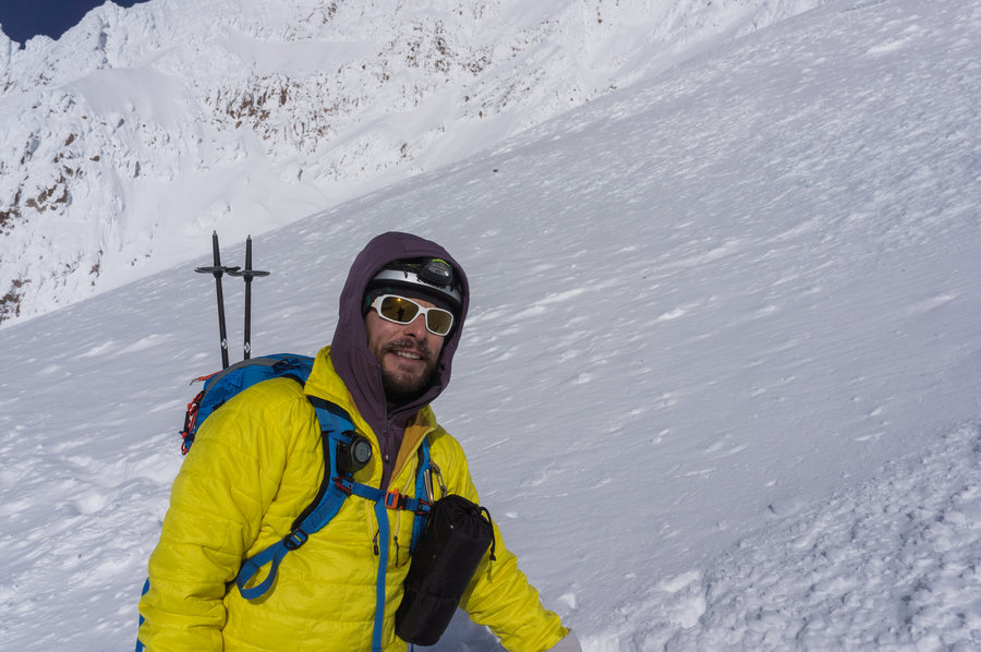
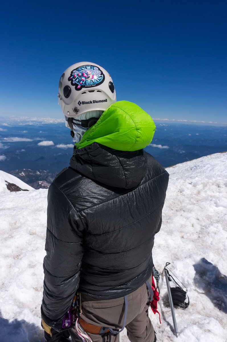
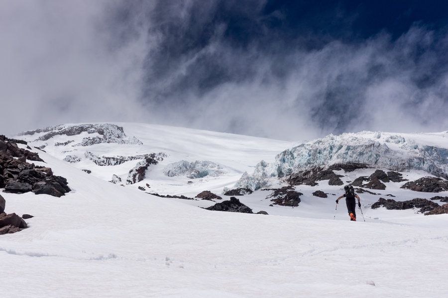
raininer/kautz climb/ski attempt
5.5 miles of hiking • 6250' elevation gain • 1 night
kautz glacier climb/ski trip. aborted in high winds at night and imminent tent failure. skied in dark fog back to car, death-defying excitement.
June 20 – June 21, 2013

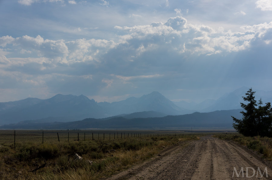
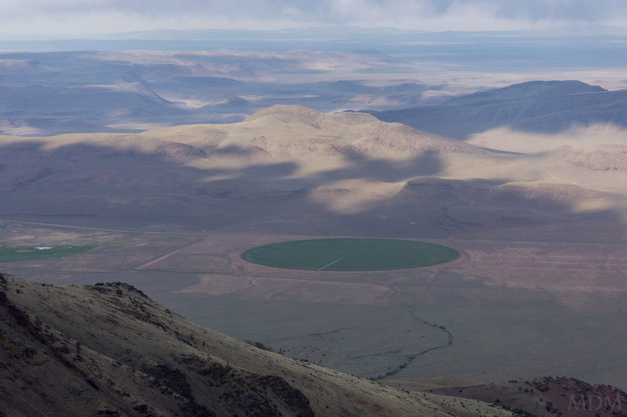
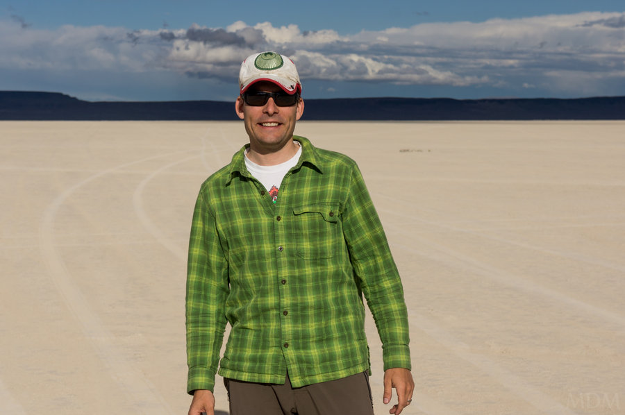
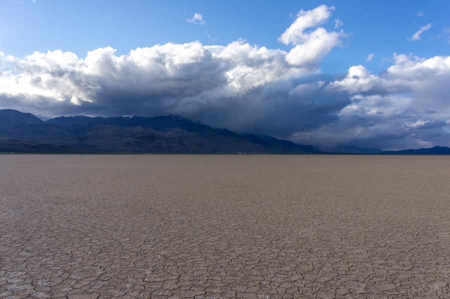
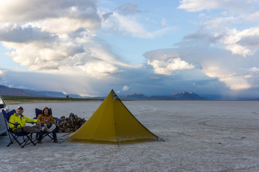
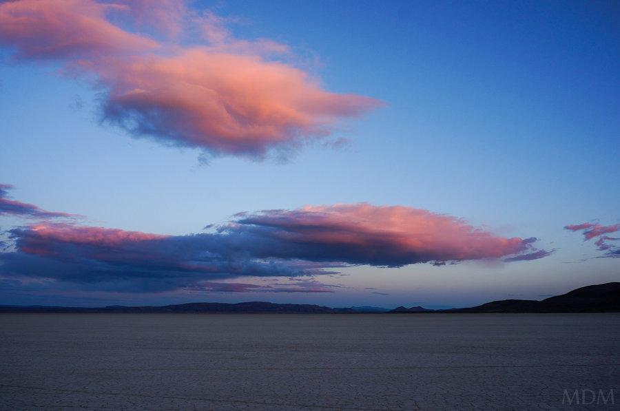
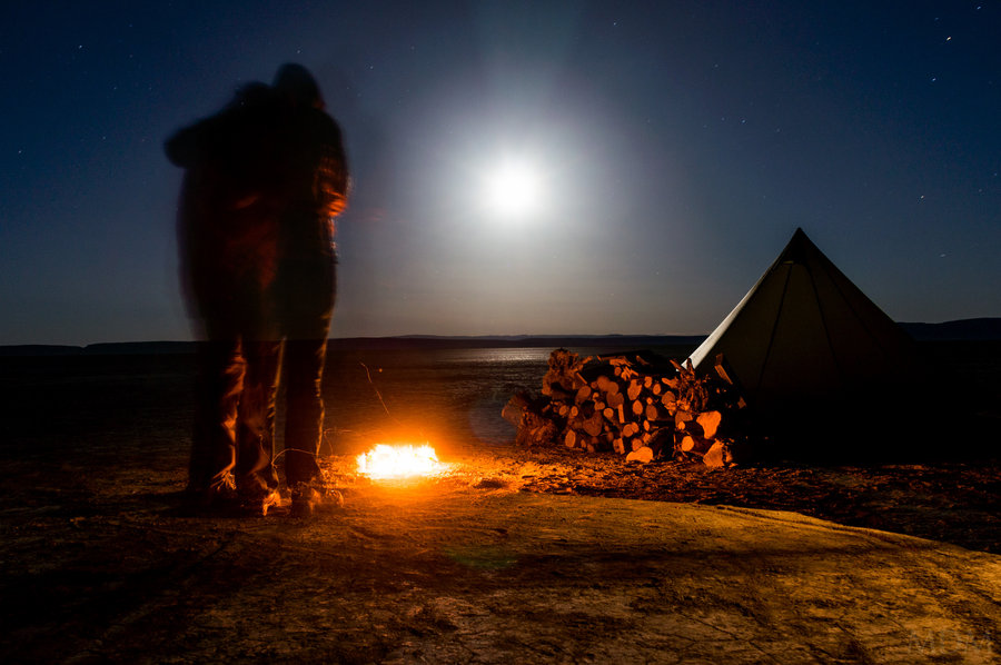
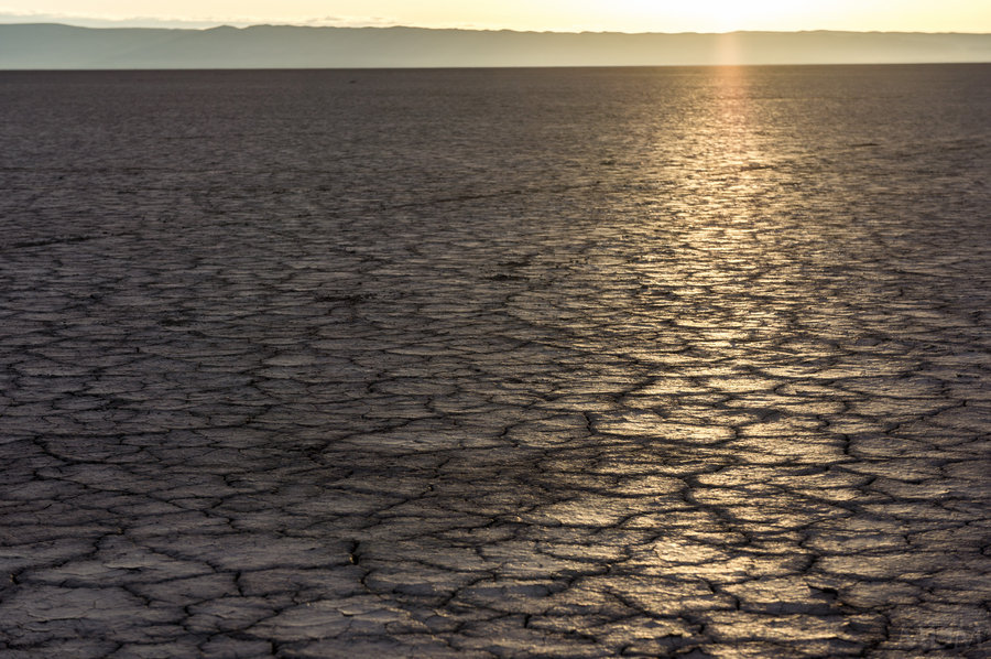
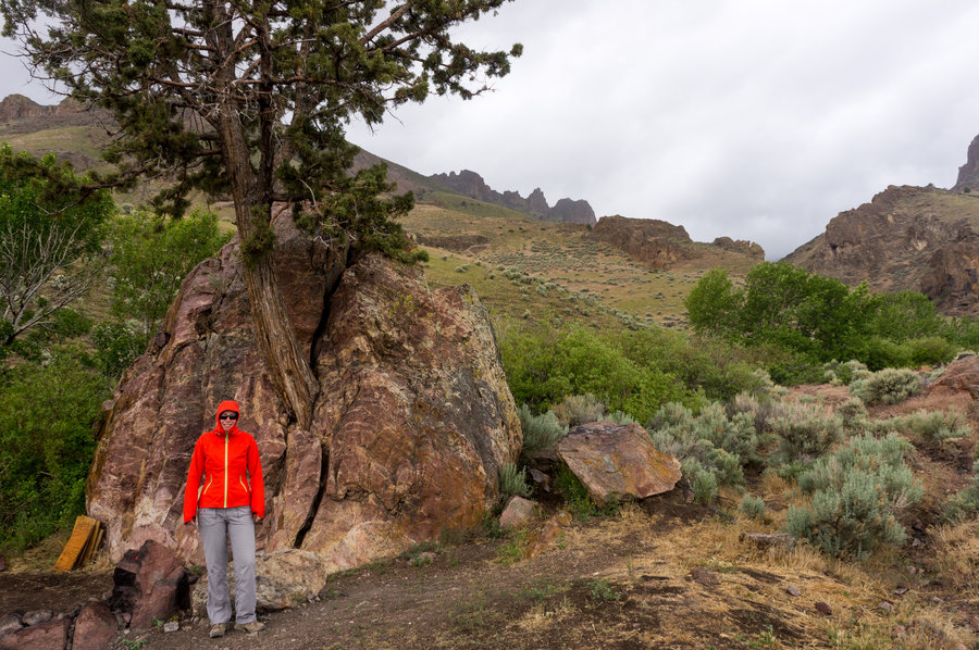
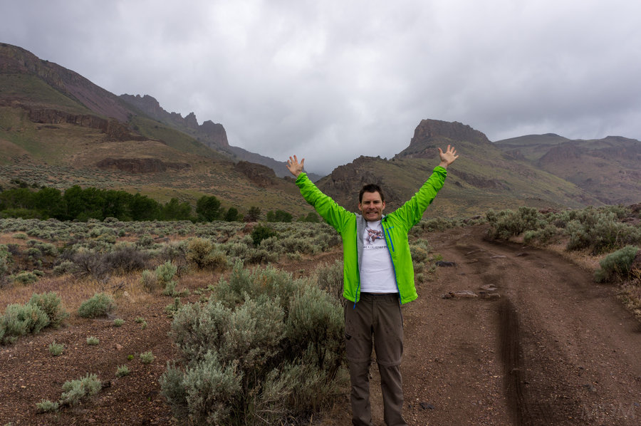
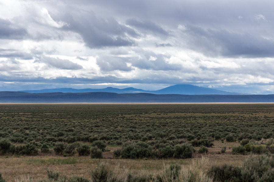
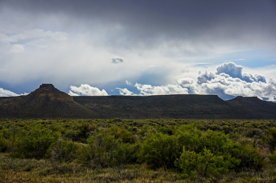
Steens
8 miles of hiking • 1000' elevation gain • 2 nights
First visit to the Steens. Phenomenal. Iffy weather and roads not all open, but, had an absolute ball. Of all places, between the scorching desert and the high snowy top, this seems like the hardest of all places to time right in the spring. Maybe fall works better all around...
May 27 – May 29, 2013

Leutholds on Hood
7 miles of hiking • 5500' elevation gain •
been a while after a lot of talk and attempts to finally top out via this route. nice to carry the skis up and over as well. afterwards headed to the deschutes for the stonefly hatch and some trout fishing.
May 11, 2013

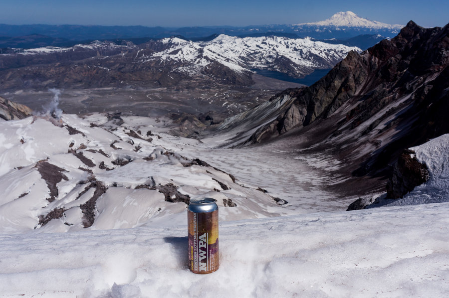
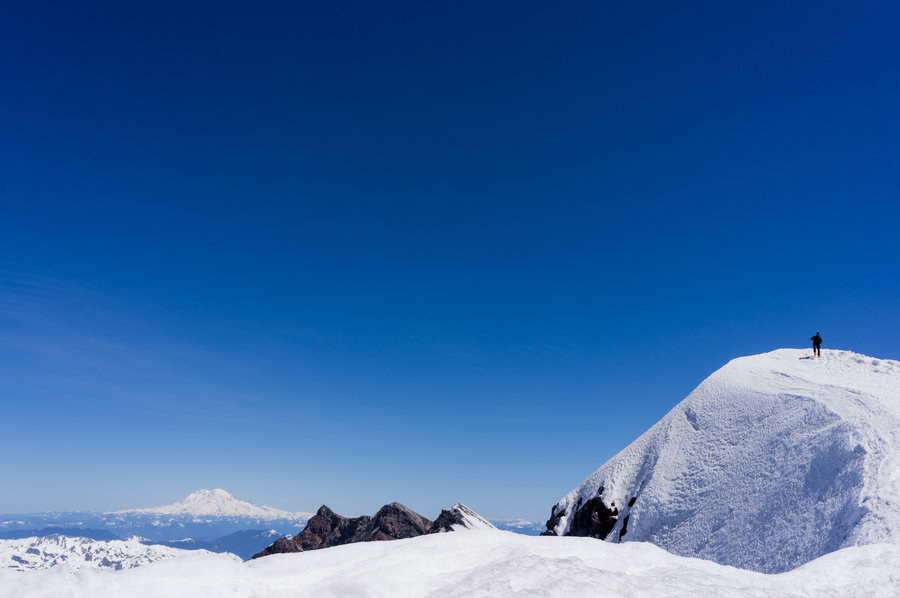
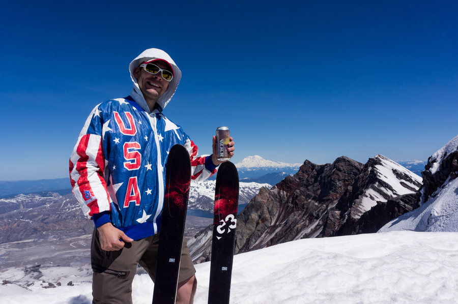
St. Helens Ski
12 miles of hiking • 5250' elevation gain •
same ol same ol. climb helens, ski down. sticky snow down low. but good bob-sled run once into the trees. skied from top to edge of parking lot. cheers
May 5, 2013

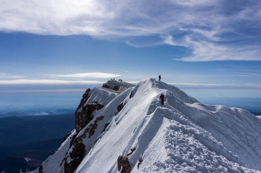
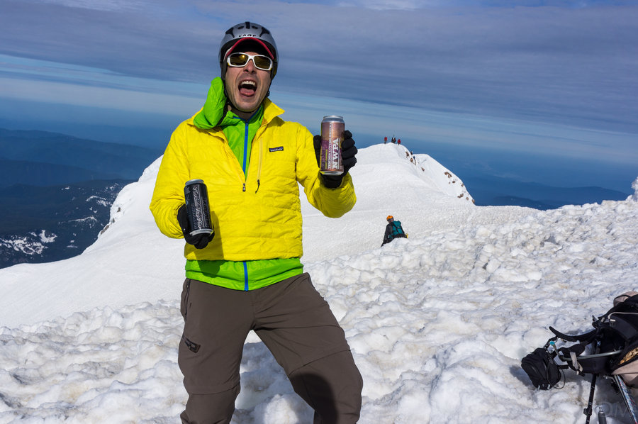
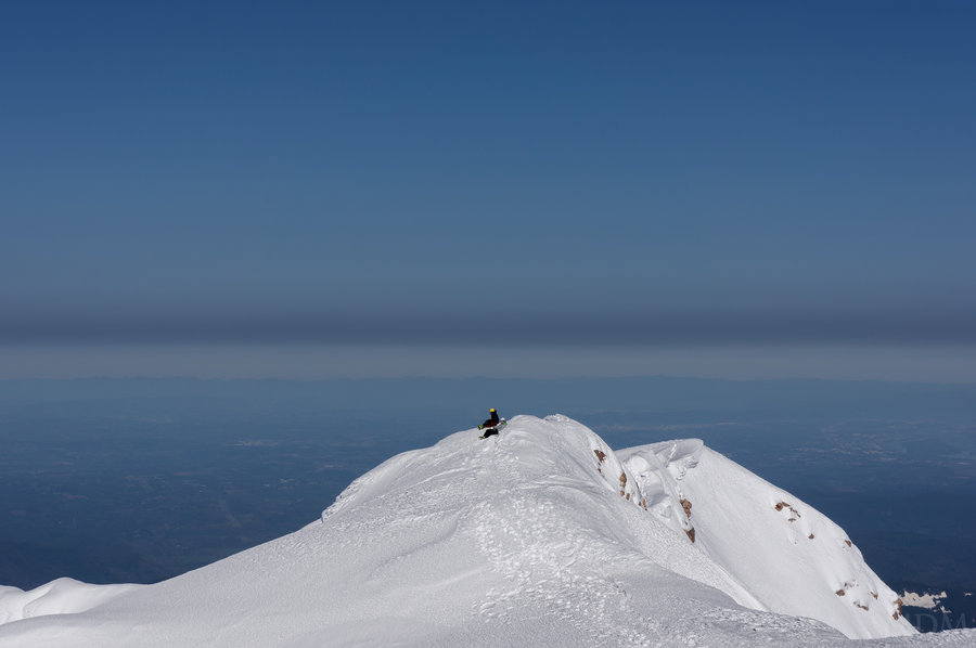
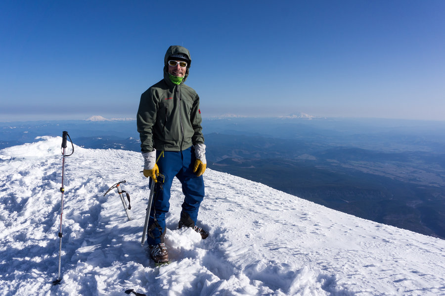
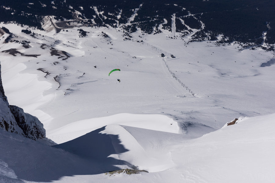
Mt. Hood Pearly Gates/Ski
6 miles of hiking • 5000' elevation gain •
First time through the gates. Carried skis up. Met a local legend, Asit Rathod. Saw a guy paraglide on skis off the summit. damn fine day out.
April 23, 2013


April 4 – April 5, 2013

helens solololo
7 miles of hiking • 3750' elevation gain •
went up casually and slow solo. skied fairly slushy stuff down in a cloud.
February 10, 2013

Leuths Attempt
4.5 miles of hiking • 4500' elevation gain •
turned around just shy of the hourglass. what with the river of loose pow flowing down like water. Damn wish I had my skis..
January 13, 2013