

24.41 miles of hiking • 5250' elevation gain • 2 nights
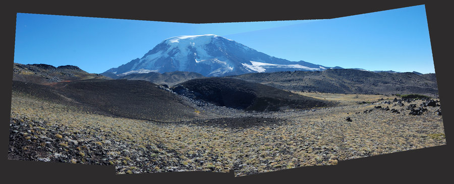
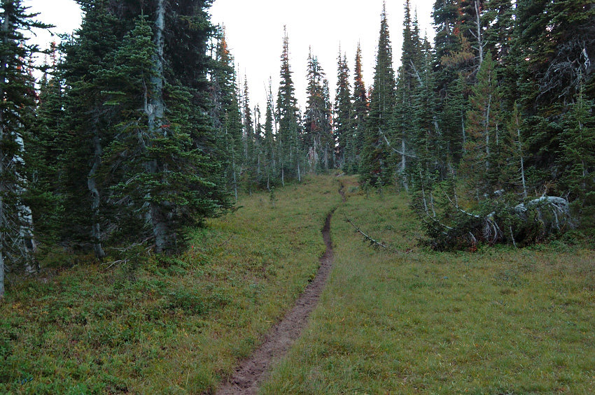
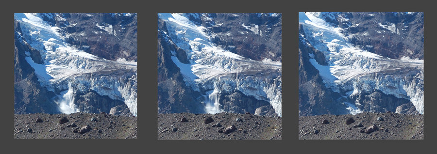
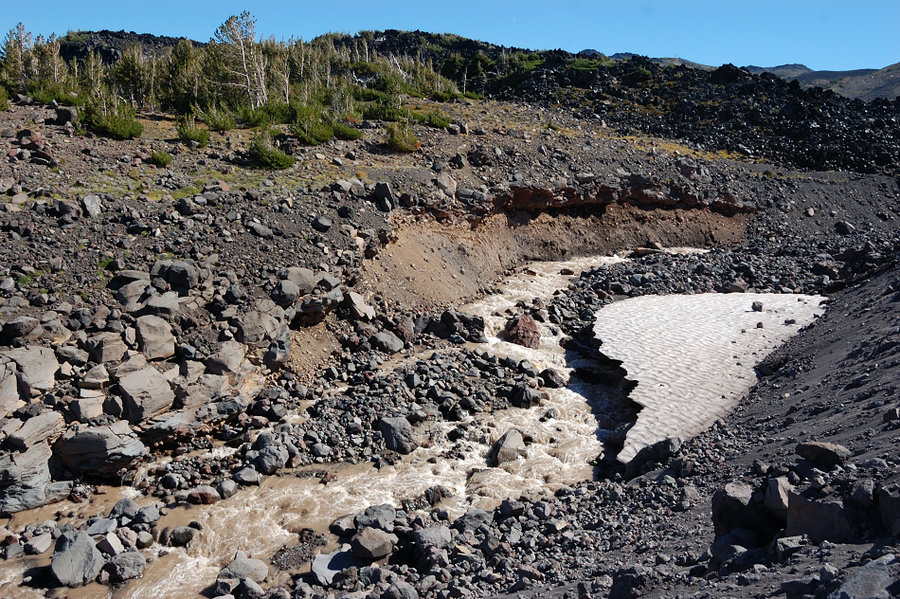
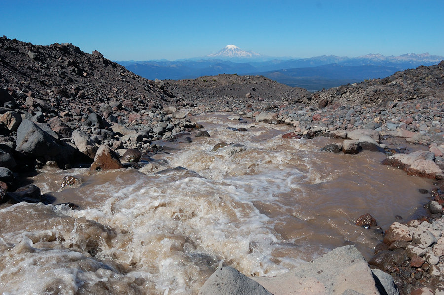
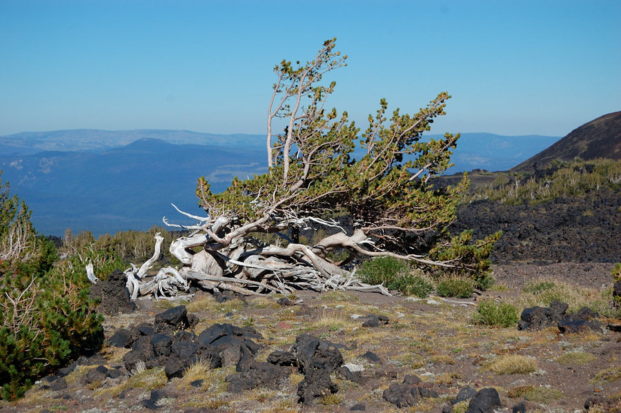
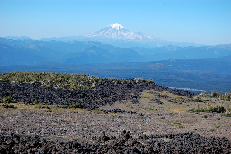
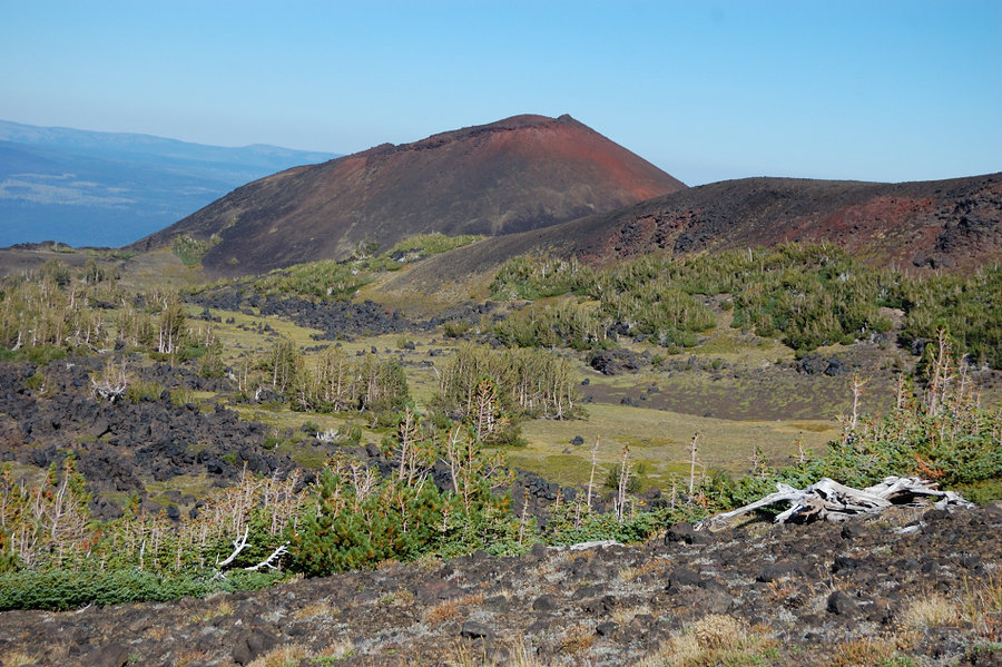
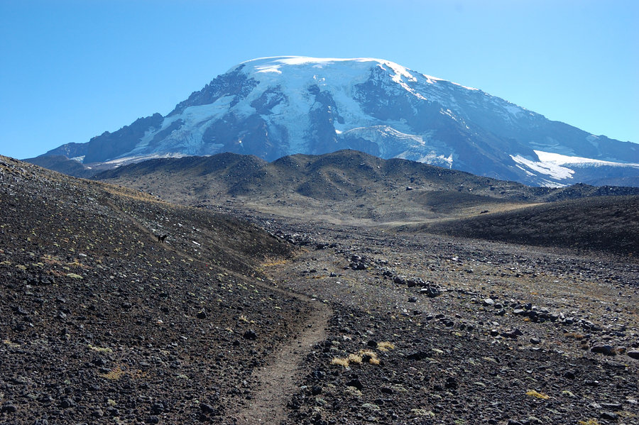
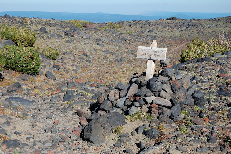
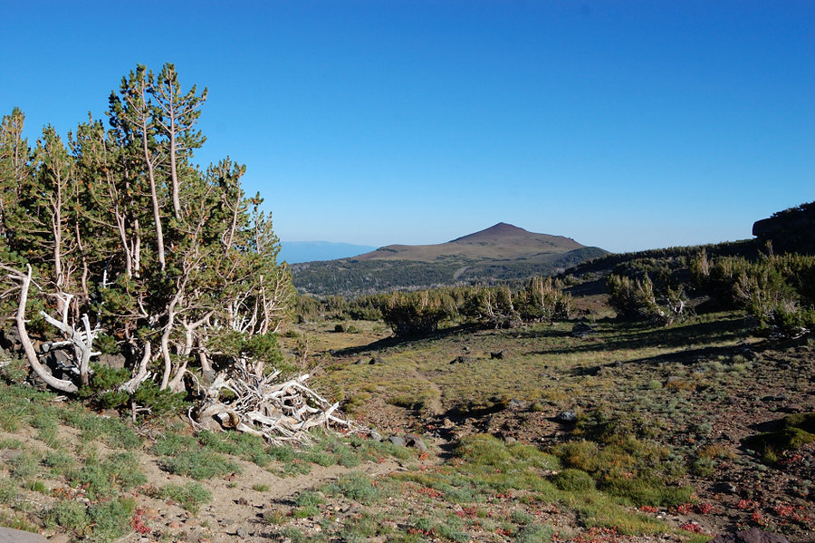
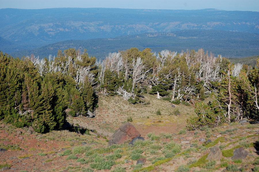
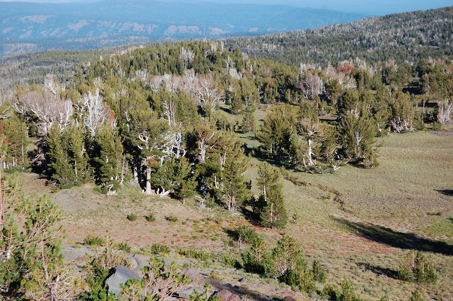
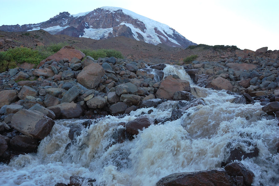
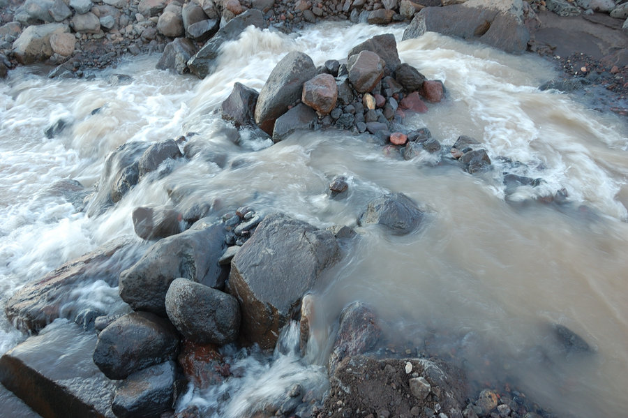
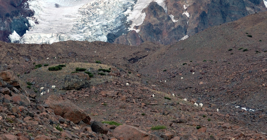
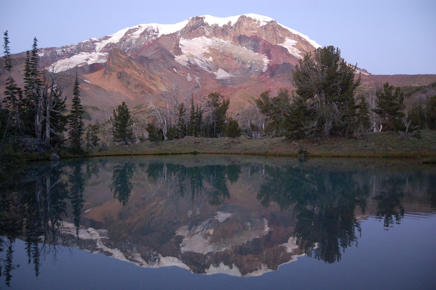
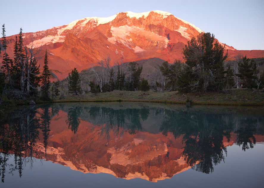
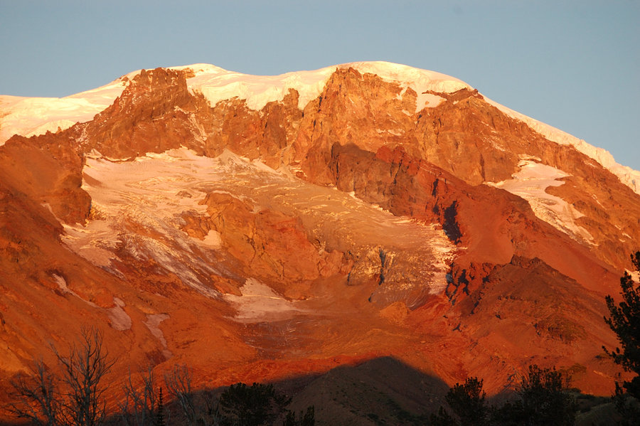
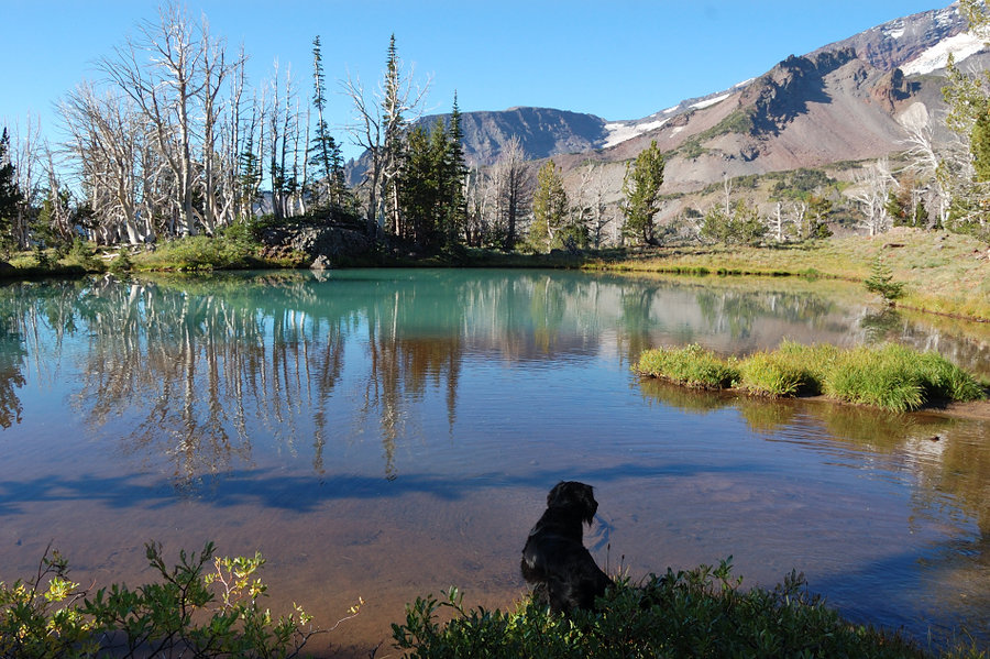
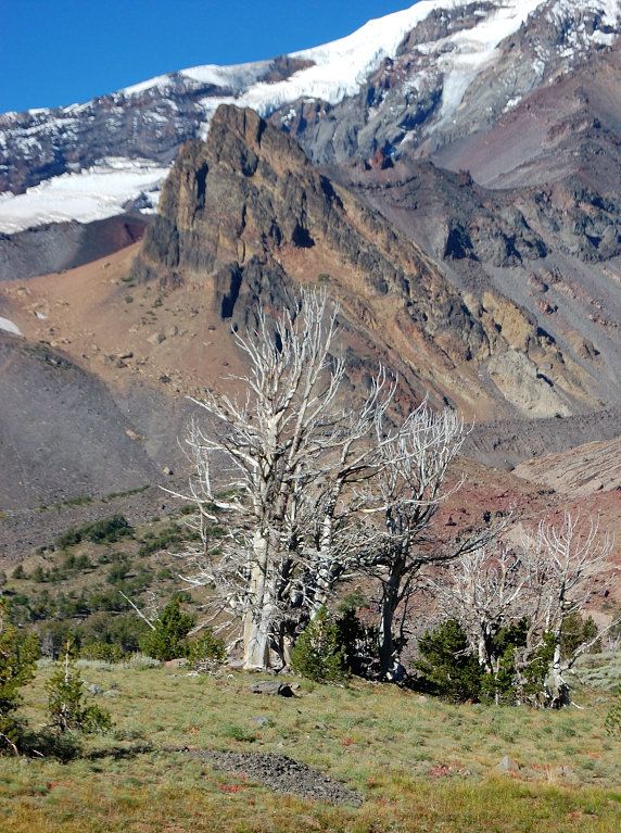
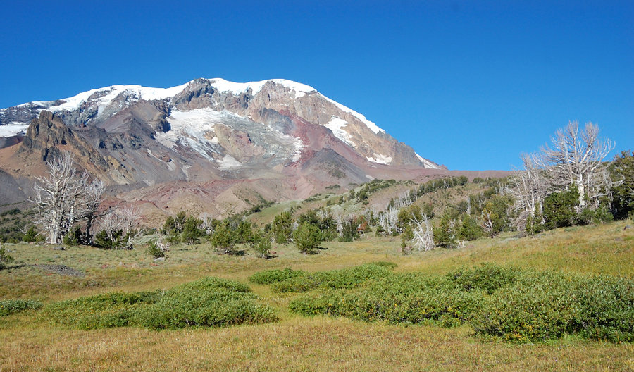
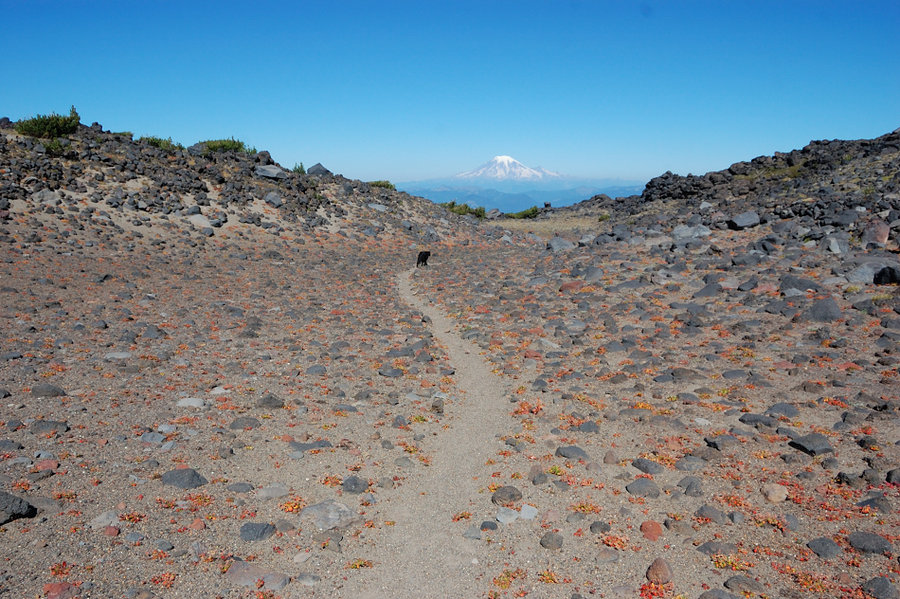
Due to elevation gain and length of this hike, I went 2 days up (camped at Foggy Flats the 1st night), then 1 day back. I carried $15 in case I met reservation ranger but saw only 1 hiker past Foggy Flats. The trail past the boundary is very faint and disappears in some places; the cairns really helped, as well as Cascadehiker's GPX track. Once down from the pass on E side, the area looks very much like trails on Broken Top - with wide, dry, sandy meadows and islands of ancient whitebark pines, with many bleached trees. Saw some goats and marmots. The last stream crossing was wide and swift; I did some "water engineering" - moved some rocks to open 2 side channels and get water lower in the main channel, so Pepper could jump across. Avy Valley seems so remote and wild, and exceptionally nice at the same time. The mountain sounded like remote thunder from time to time, the echo reflected off Goat Peak. Saw a piece of glacier collapse while on the way back, the photos only captured the "tail" of that avalanche.
It's strictly nice weather hike, with plenty of chance to be cut off by the weather (like on the 7,700' pass at reservation boundary, or the 3 glacial stream crossings).


Comments

JM
September 16, 2013
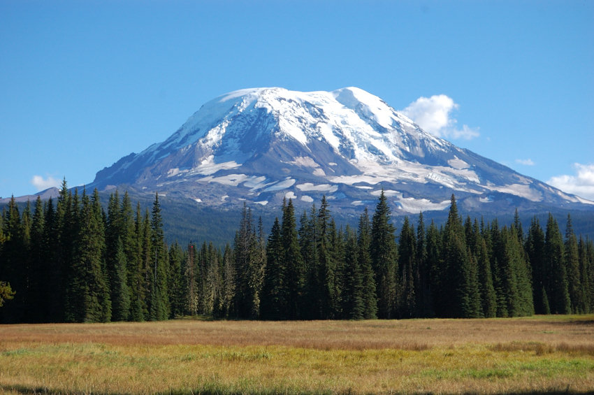
Great pics! Which lake was that reflecting Mt. Adams? The goat pic is great, as is your pano of the mountain. Wow!
Roman
September 16, 2013
Thanks!
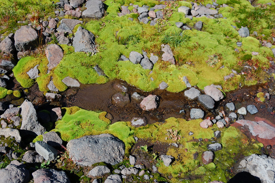
This lake is more like a tarn, there are 2 tarns in Avalanche Valley, one with a view. There's also one tarn up near Goat Butte saddle, (near number "4" on the map above) but it's mostly dried up now.
Elsie
September 14, 2013
Wow - really great pics and info. This has been on my bucketlist this summer, and haven't made it happen. Crossing my fingers for some remaining good-weather weekends...