2015 Trips

 1
1
Dog Mtn
7.5 miles of hiking • 2750' elevation gain •
Dog Mountain. Still there. Same as always. Lot full on a Monday. Many, many flowers.

May 4, 2015
 2
2
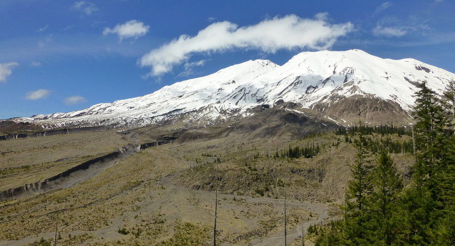
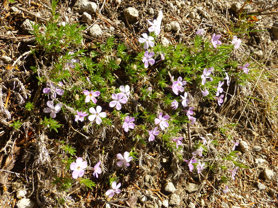
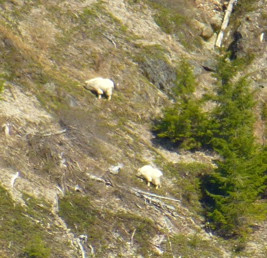
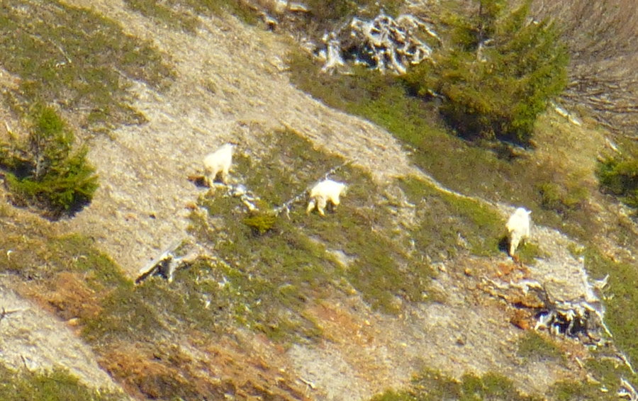
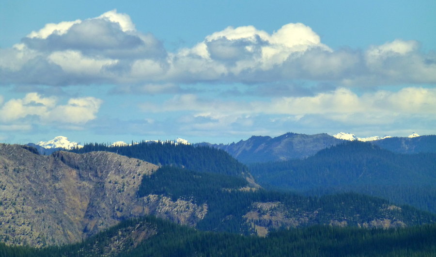
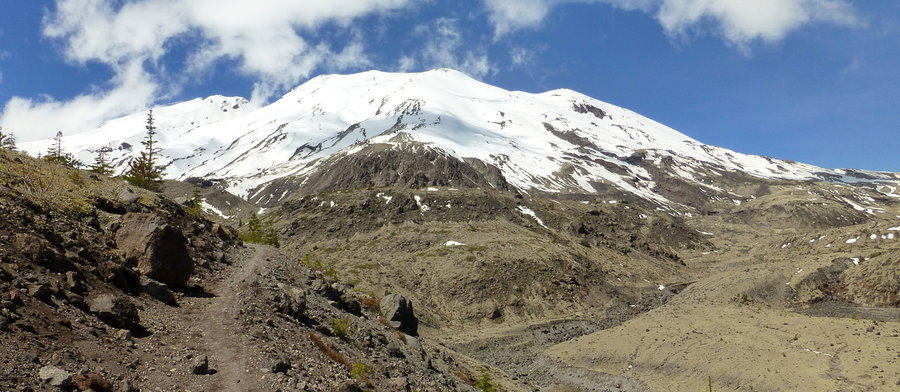
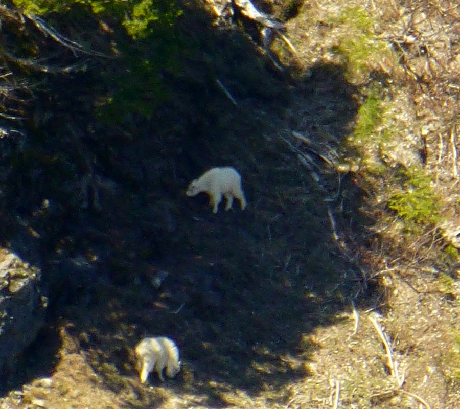
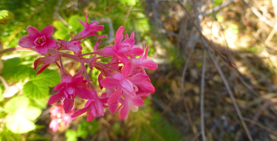
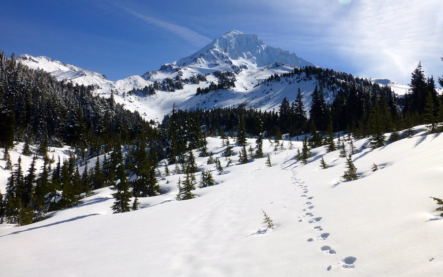
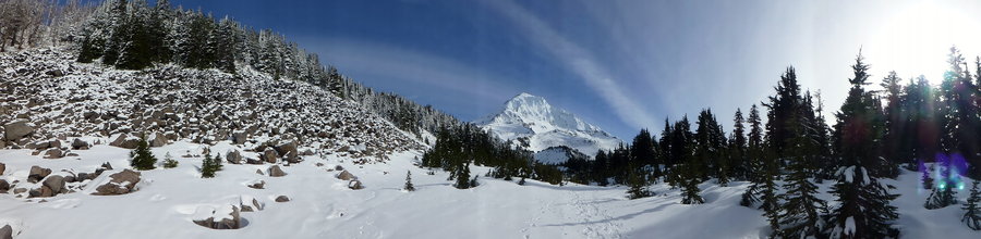
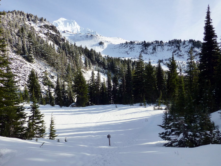
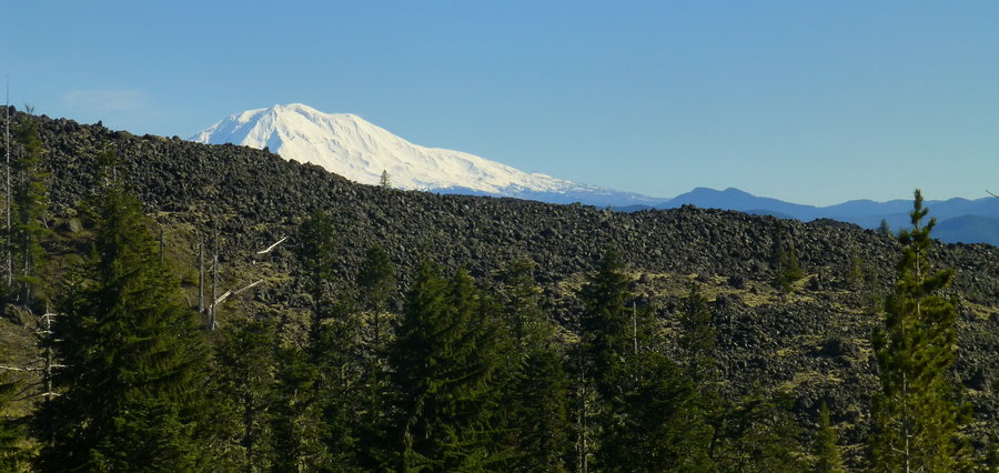
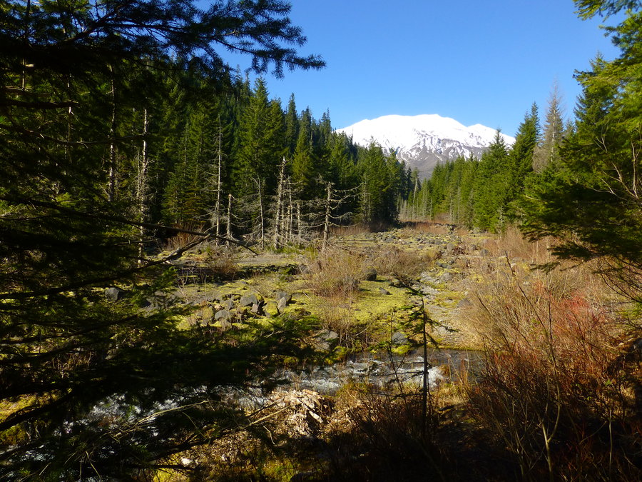
Ape Canyon
10 miles of hiking • 2250' elevation gain •
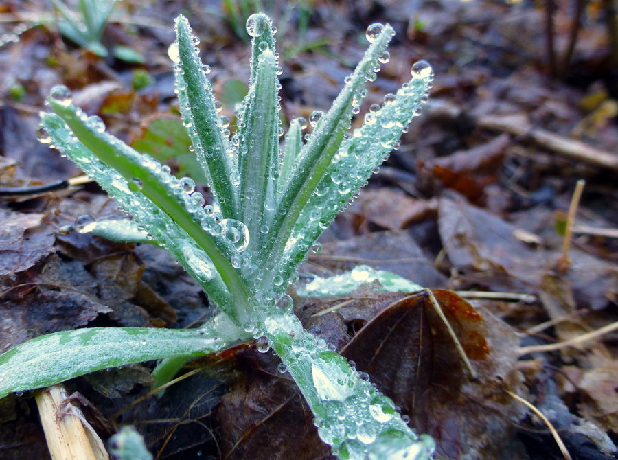
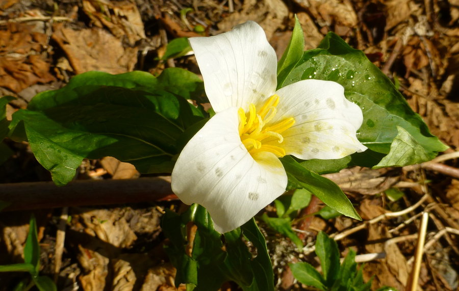
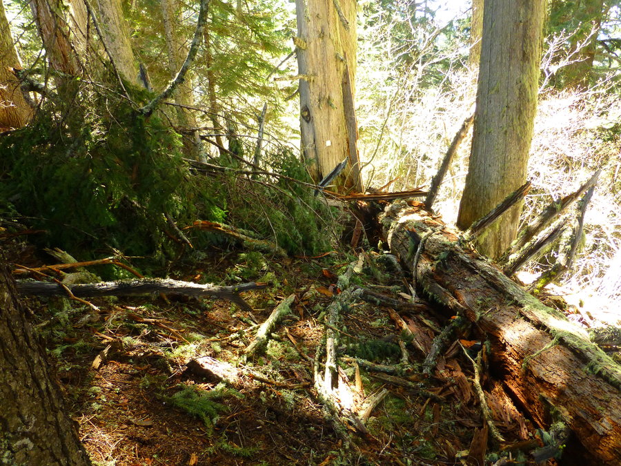
I haven't hiked in about 7 weeks (!!) - after a year, my knee injury is still a pain (literally) on a daily basis. But I can't stay away for long, so I gave it a shot today and fortunately felt pretty solid. (Funny that I can go 10 miles on soft/packed dirt, but can't walk 40mins around town without pain. pavement sucks.) Goats are catching on that the gate has opened and hikers/bikers are out and about. Only a keen eye (mine, luckily!) can catch that there were at least a dozen waaayyy off on the opposite slope of Ape Canyon to the north east of the trail, scattered all about. Take a good zoom lens or binoculars! And they probably won't hang around for long with the increased foot traffic. Otherwise, Trillium are starting to wilt, phlox is out in full, and some other purple flower/tree I don't know. There was just one section of massive blow-down with an obvious detour above it; bikers have to dismount and portage around it. No snow - just some patches up on the Plains that won't last another day.
April 26, 2015


 5
5
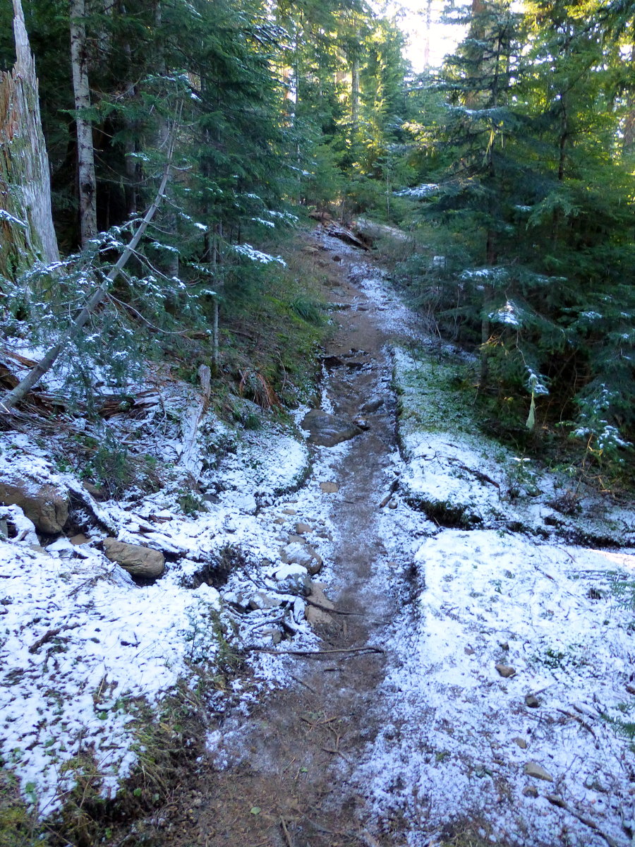
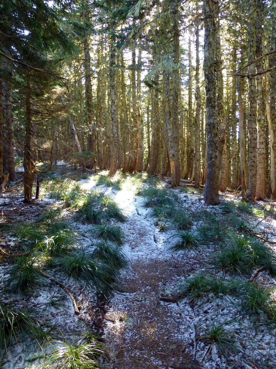
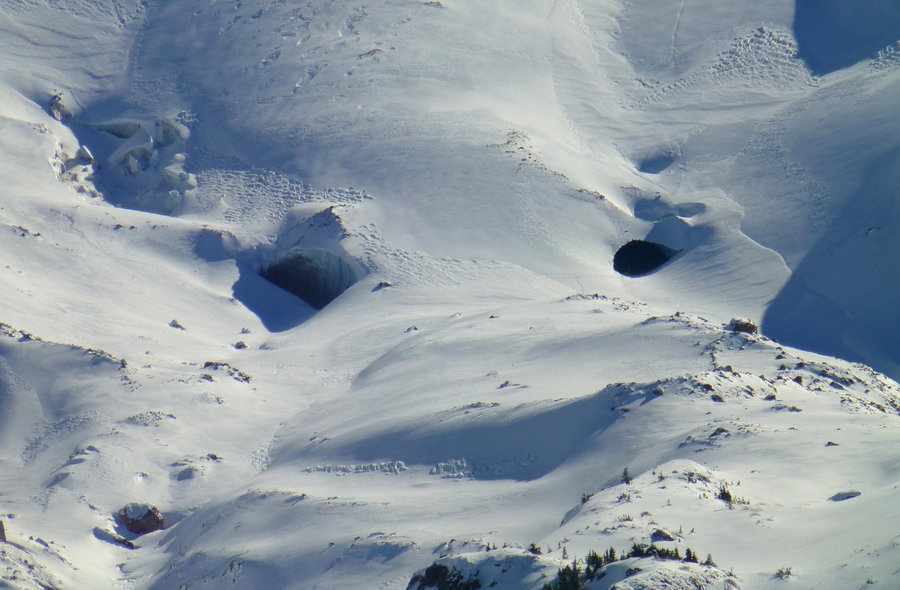
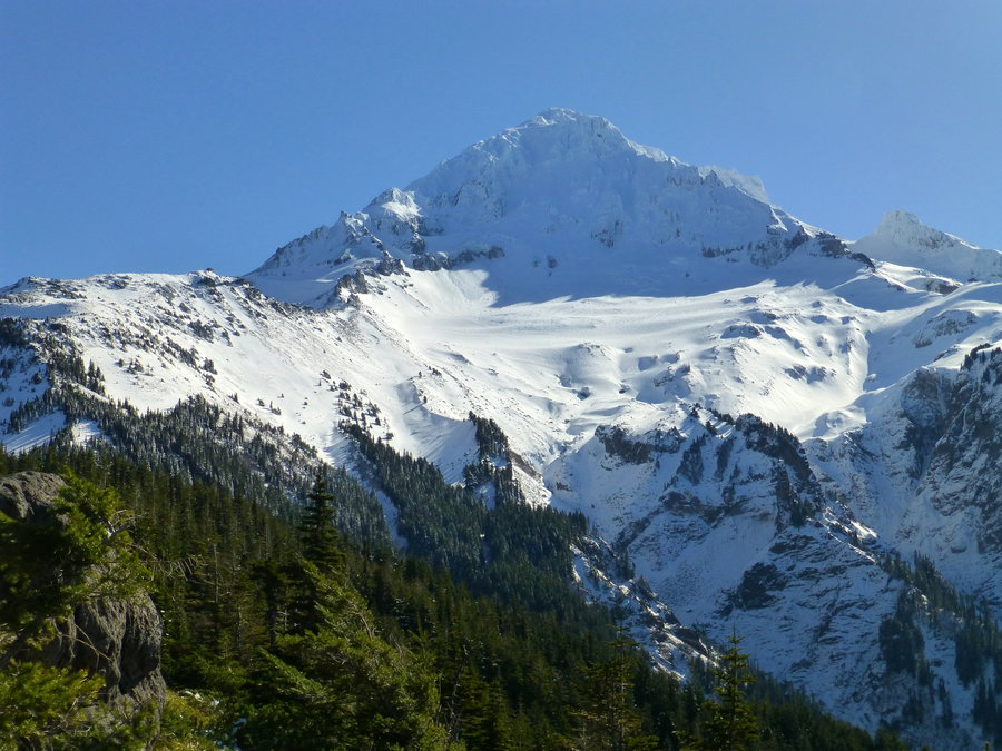
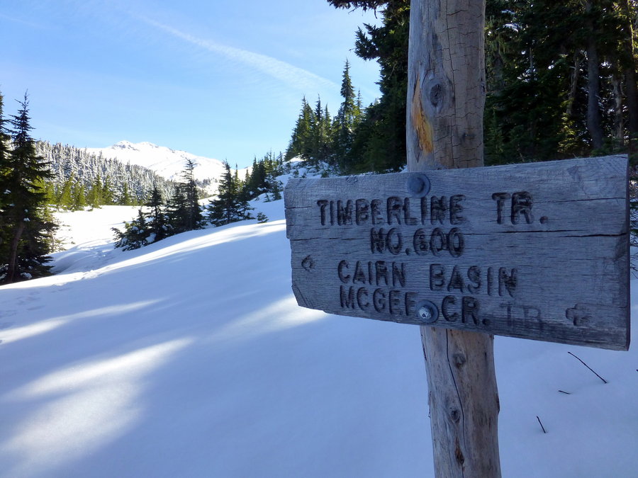
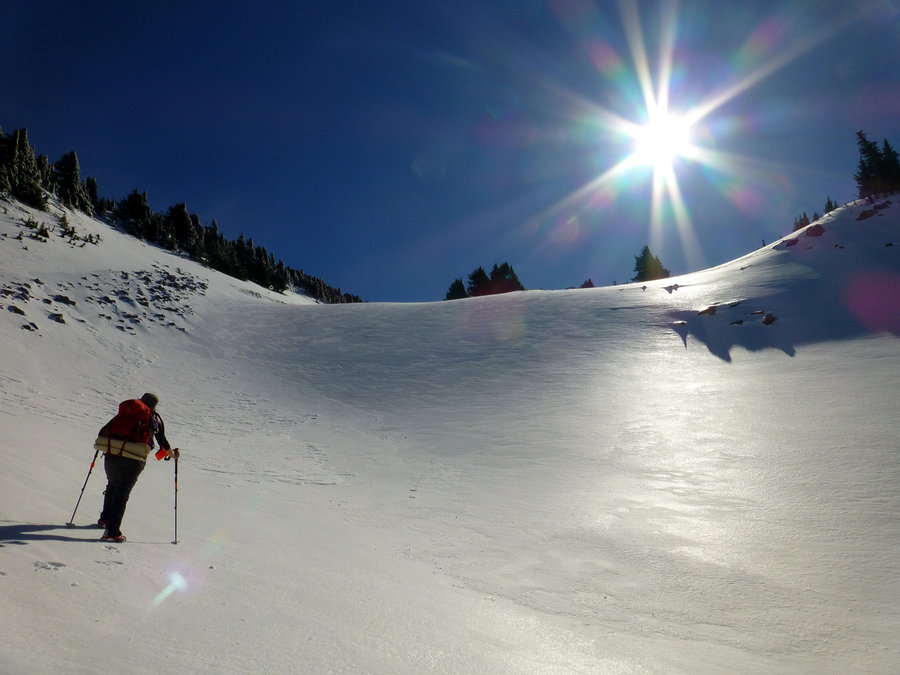
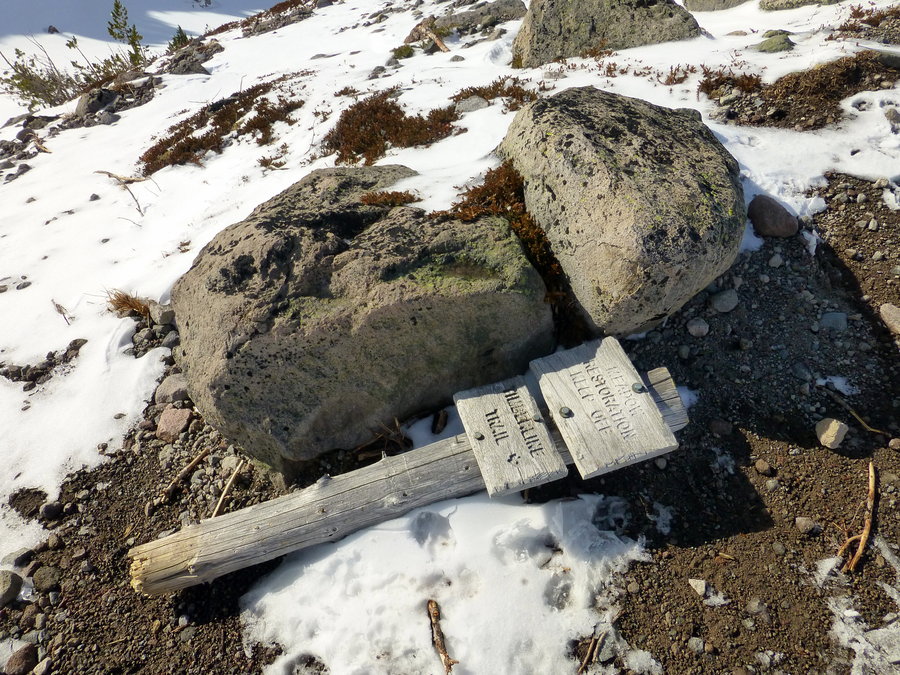
McNeil Point-ish
12 miles of hiking • 2250' elevation gain •
Ventured out to McNeil Pt - no snow on the road the whole way to Top Spur. A lot of people out heading up to the snow caves - they took the climbers route, but my friend and I are still nursing knee injuries, so we took the classic, longer way. Made it within 1/4 mile from the Point (even heard other hikers chatting), but the final traverse was just too exposed and sketchy, so we turned back. Proceeded to accidentally descend via the Mazamas trail, but caught our mistake pretty quickly, and ventured back to the Timberline trail, hence the slightly added mileage.
March 1, 2015

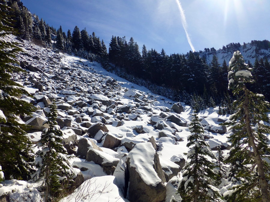
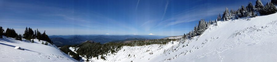
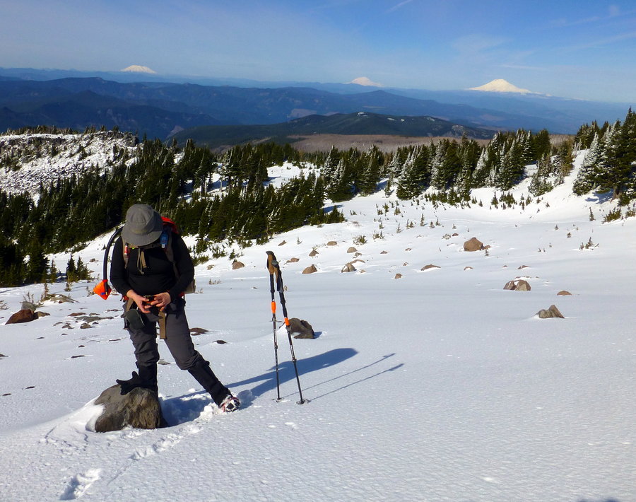

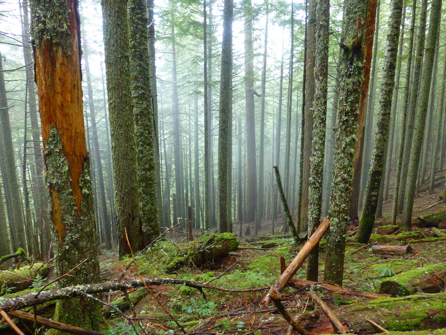
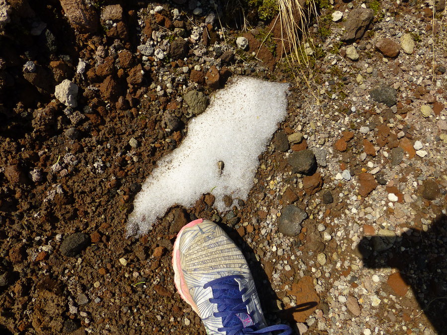
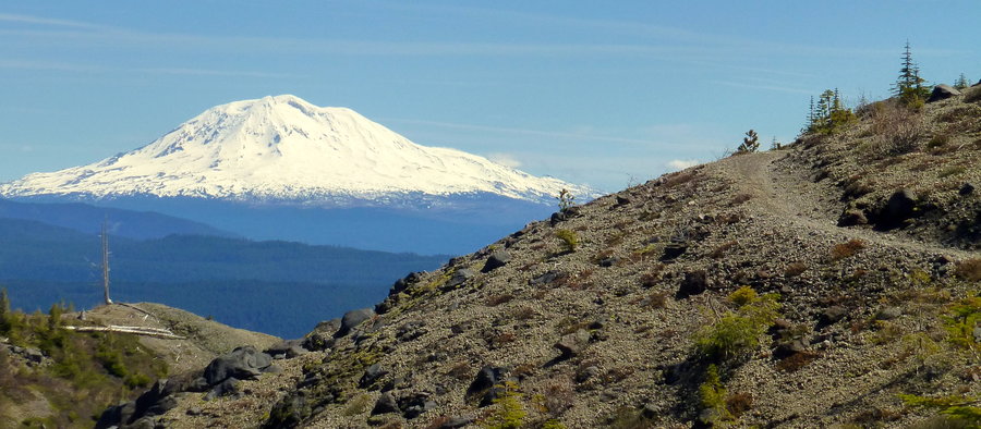
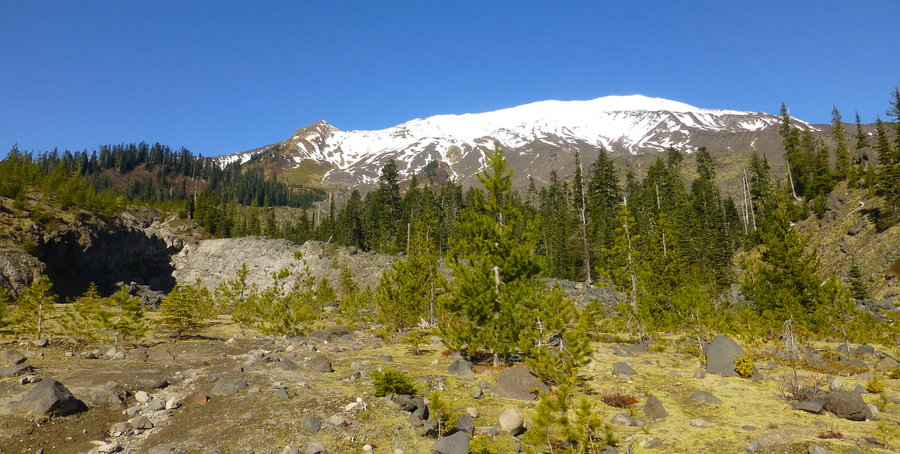
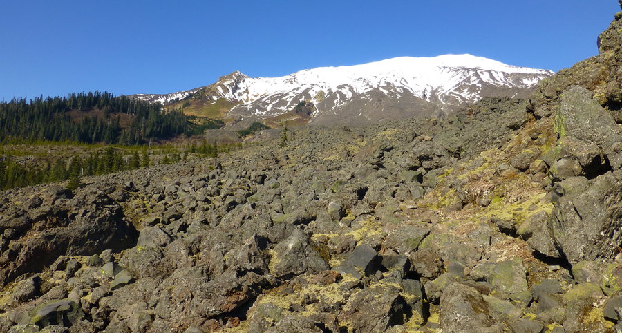
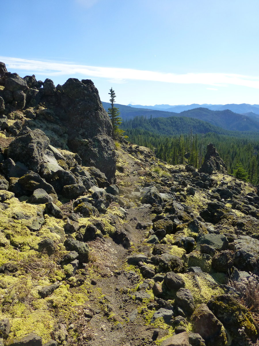
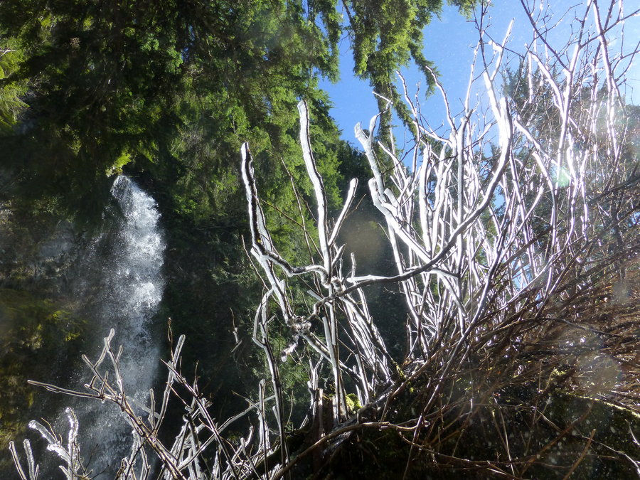
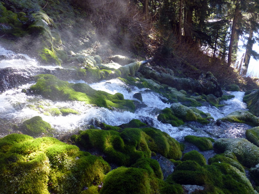
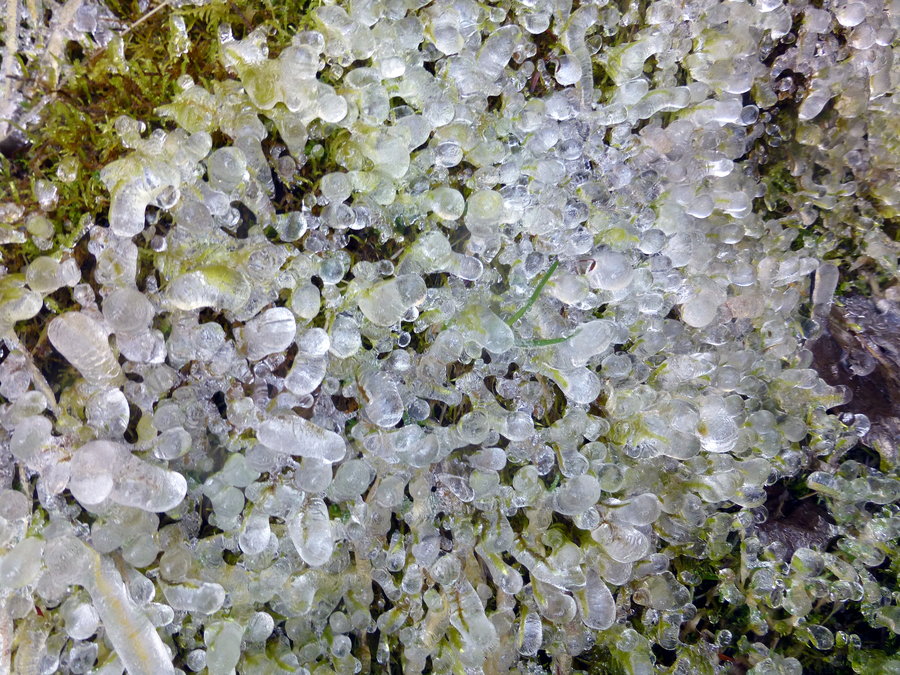
Mt St Helens south side loop
7 miles of hiking • 2000' elevation gain •
Ranger Station road conditions report via phone said the road to Ape Canyon was clear and open - very much NOT so, given the gate that is blocking the way. Those plans were thwarted, so back up bacame a loop starting from marble mtn sno park: Swift Creek - worm flows 4800' climbing line - Loowit - June Lk - Pine Marten - Car. For the 50,000,001 cars at the lot, I ran into very few people - small crowd at June Lake, but shockingly had the whole route to myself otherwise. (The Pine Marten trail gave me this eerie, back of the neck chill that gives me the creeps...ya know, like on Franklin Ridge?) Good day, though didn't get the mileage I wanted. Plus side: knee didn't hurt once, despite the 1.5mi boulder field!
February 22, 2015


 1
1
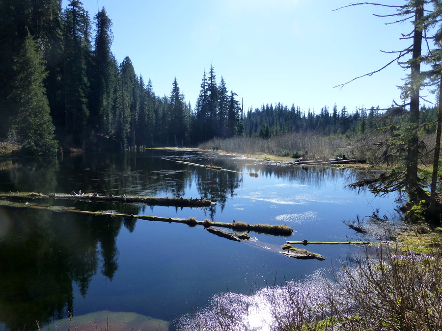
Coldwater Lake
12 miles of hiking • 1750' elevation gain •
Great day to be in the sun. Slightly jealous that I didn't do the other loop option Karl was out there doing this same day - views were left to be desired around Coldwater. Now I know!
February 16, 2015
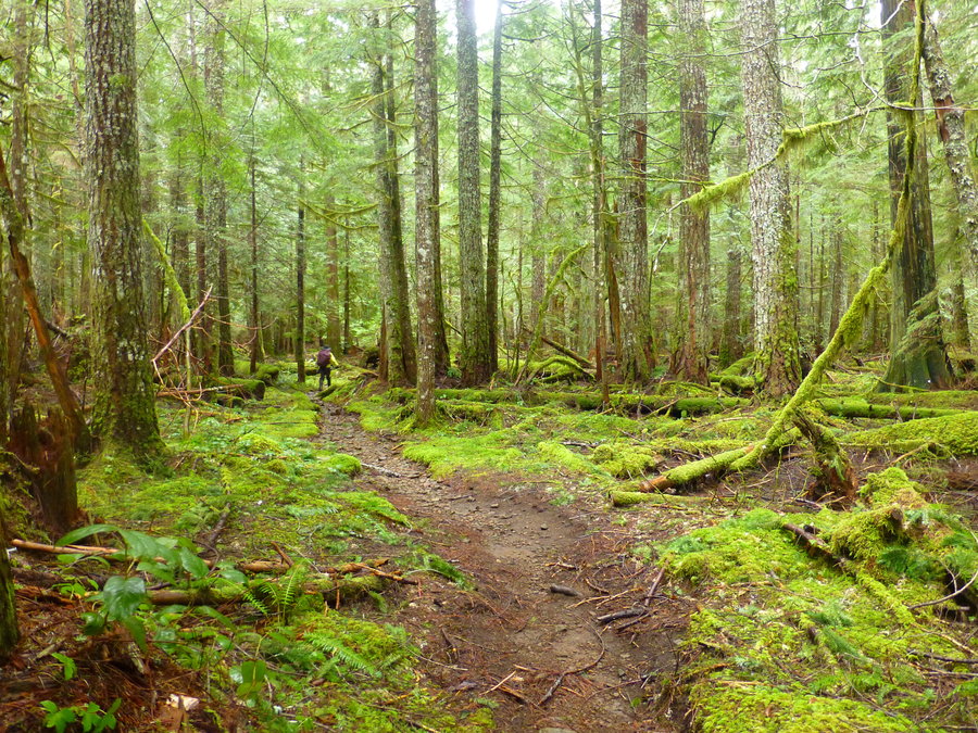
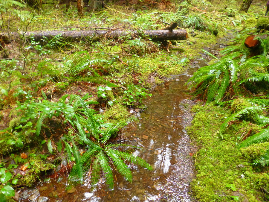
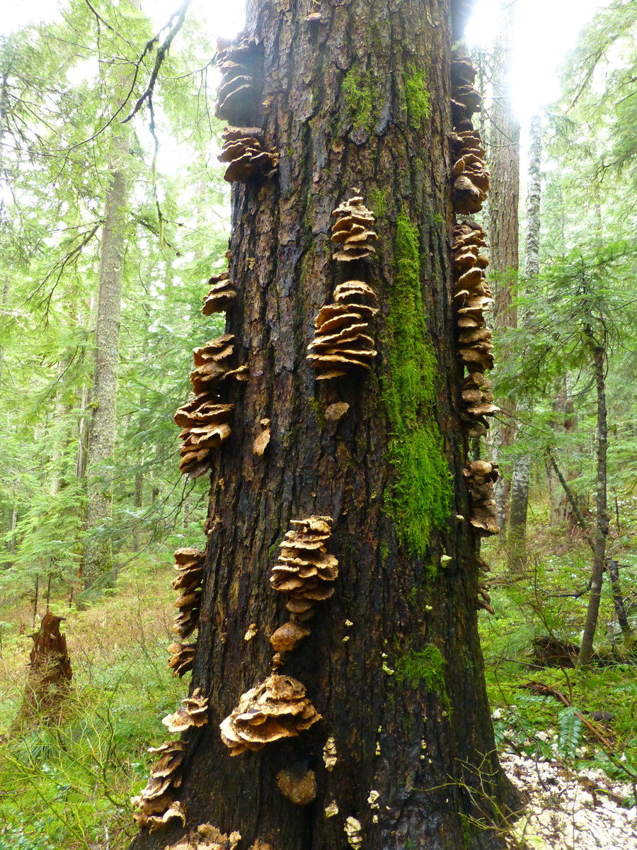
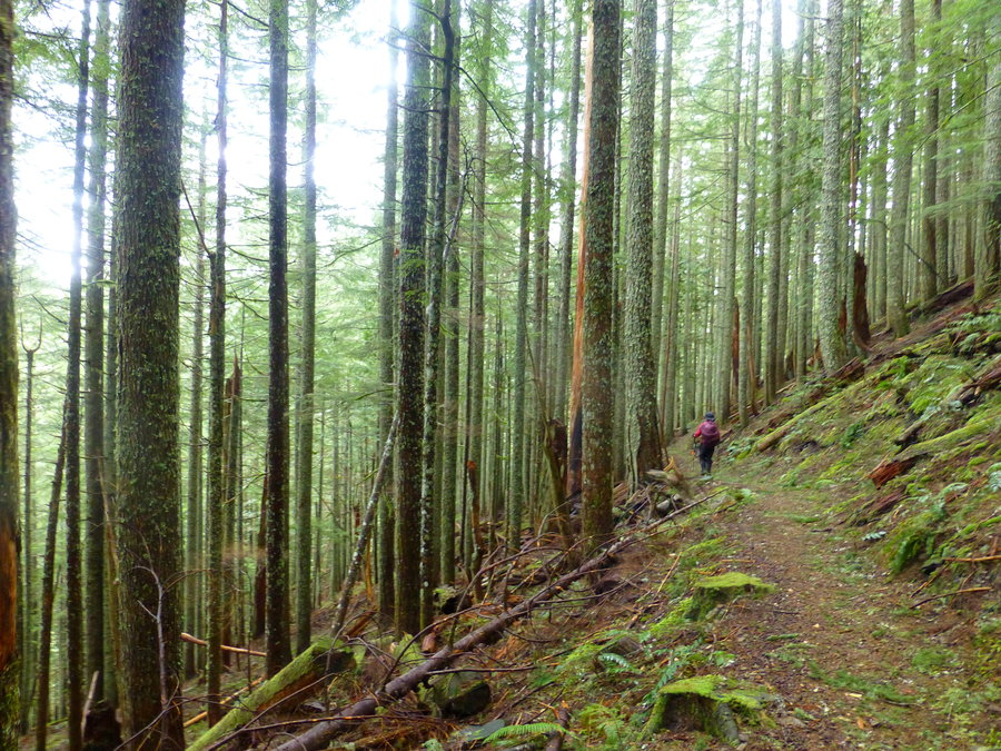
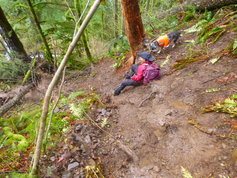
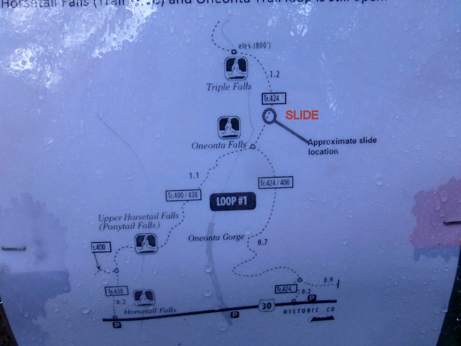
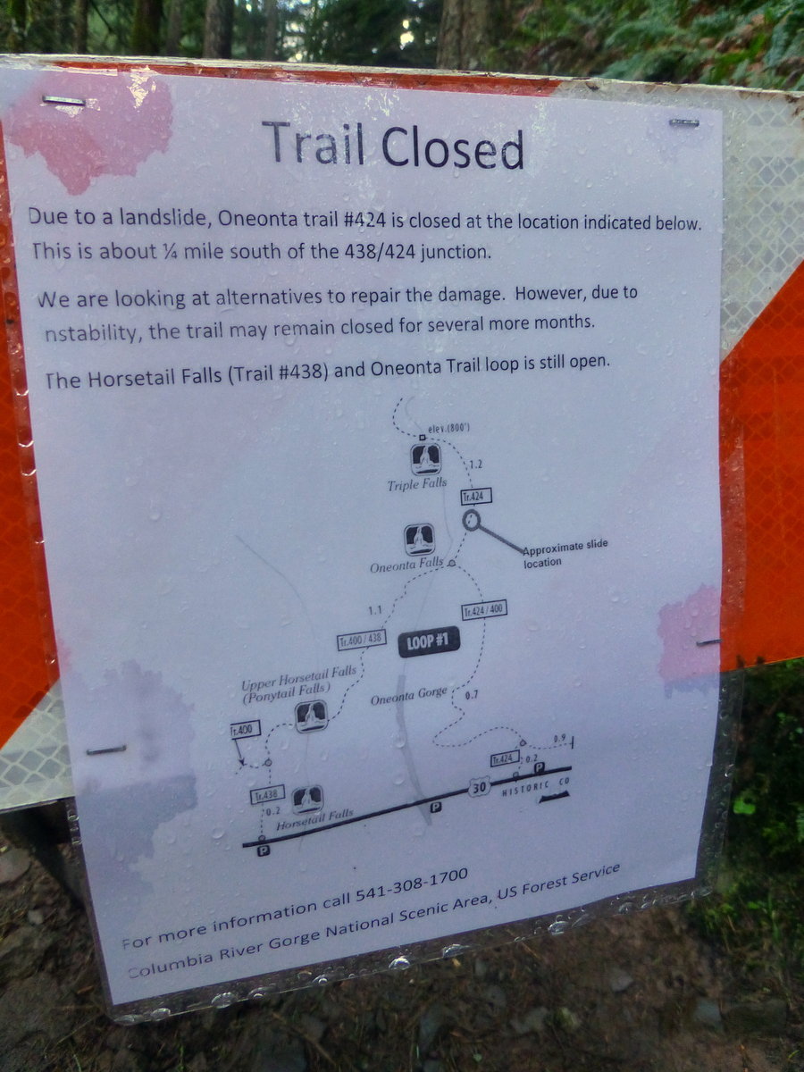
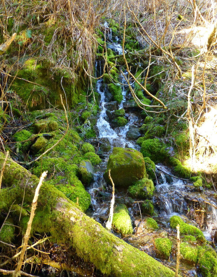
 1
1
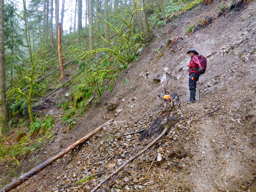
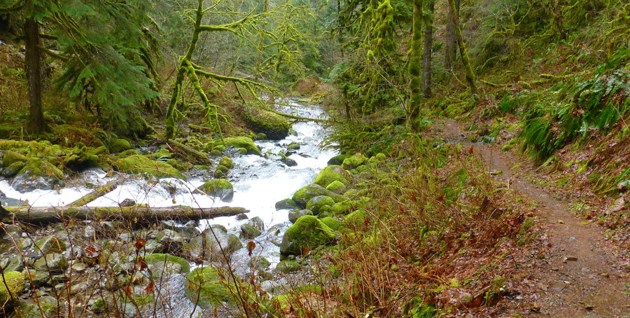
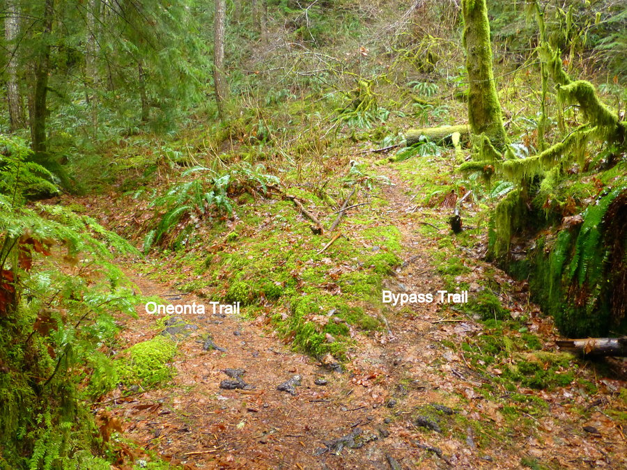
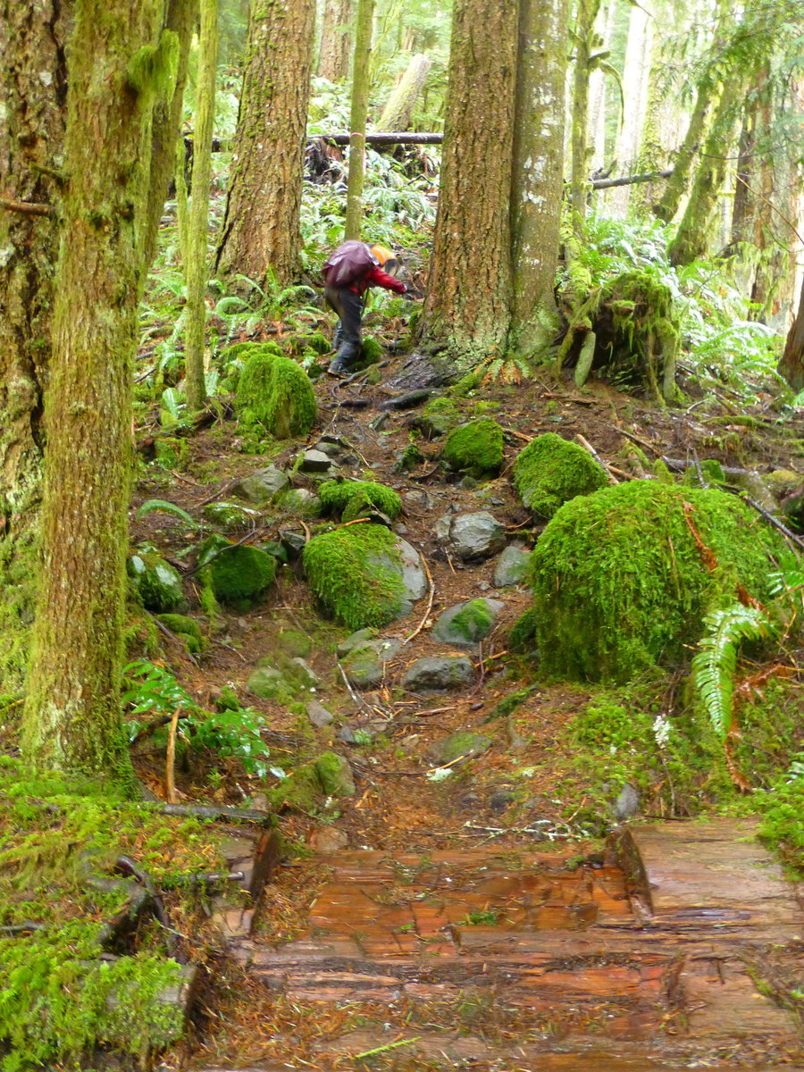
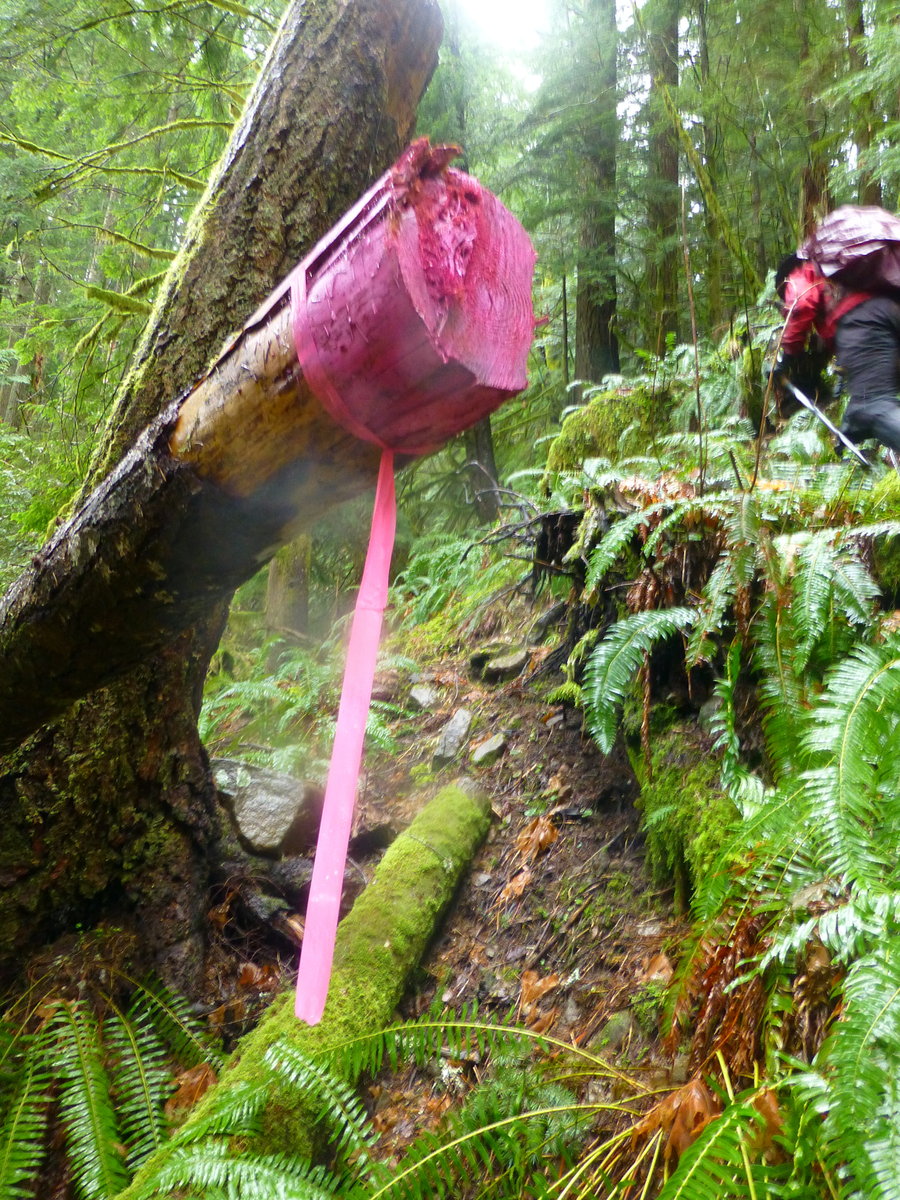
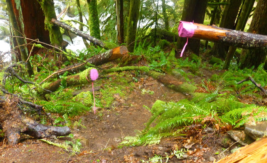
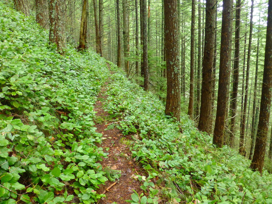
Bell Creek Trail
14.5 miles of hiking • 3250' elevation gain •
Jaunt in the rain on the Bell Creek Trail. Very lovely and glad to have explored this area. A few notes: the Oneonta Trail has washed out and there are closure signs; like the good hikers we are, we obviously ignored them; and the river ford bypass trail just before the third bridge is in great shape - thank you fellow maintenance hikers and trip reporters PH.org!! (But there might need to be more pink trail tape and spray paint all over the trees to make it more obvious. Or, build a starbucks right there.)
February 2, 2015