

132 miles of hiking • 27500' elevation gain • 9 nights
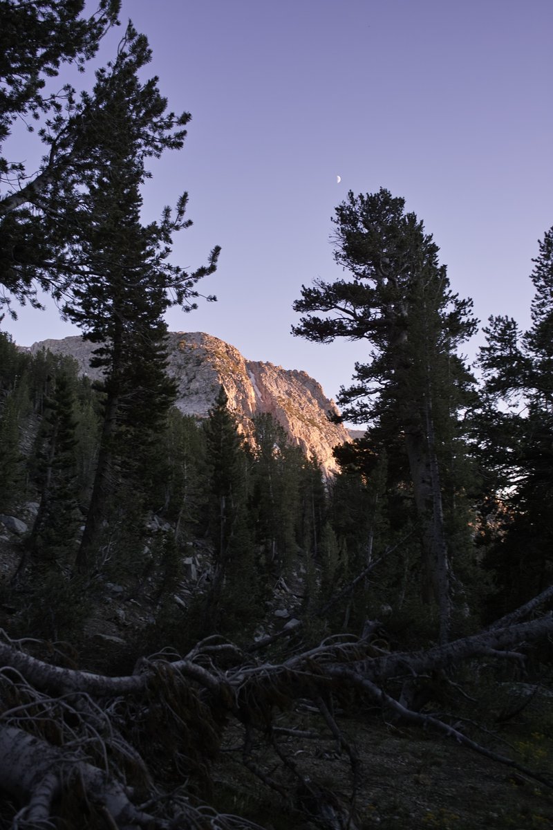
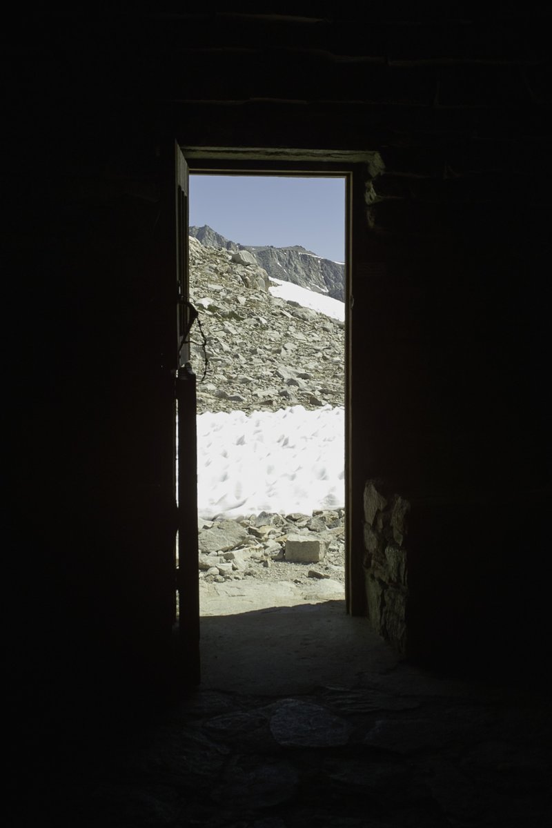
The High Sierras, especially the southeastern Sierras, are really something special. Maybe I'm overselling, but mile-for-mile, I know of no more interesting and beautiful terrain in the lower 48. The pictures do not capture the magnitude of the landscape. You must go for yourself.
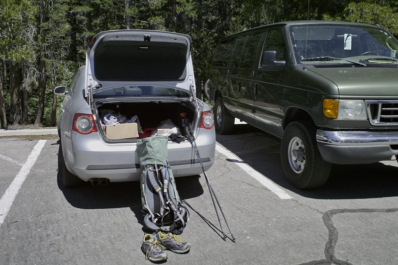
Day 0 - 6 hours driving
I had been planning this trip for months, and finally, work was done for the summer at 3:30. I got home as fast as possible, packed the car, and began my trek down I-5. The fastest way to get to the eastern Sierra is crossing over the Cascades on Rt. 58 in Eugene, and then heading down towards Crater Lake. After passing by O'Neil lake (I want to come back there and hike!), driving through Klamath Falls, stopping for the Fruit Police and winding down desolate California Rt. 139, I made my stop for the night at a remote campsite in northeast California's Modoc National Forest. Of course, I couldn't get much sleep, but also partially due to my sleeping pad having bit the dust.
Day 1 - 6 more hours driving, 10.0 miles
Since I couldn't do much sleeping, I did more driving. I awoke around 4:30 in the morning and continued through Northern California, skirted through Reno and Carson City, and made my way down route 395 to Mammoth Lakes. The resort town was perfect for finding a new sleeping pad, and it's trolley system made it easy to get from the bus stop to the trailhead.
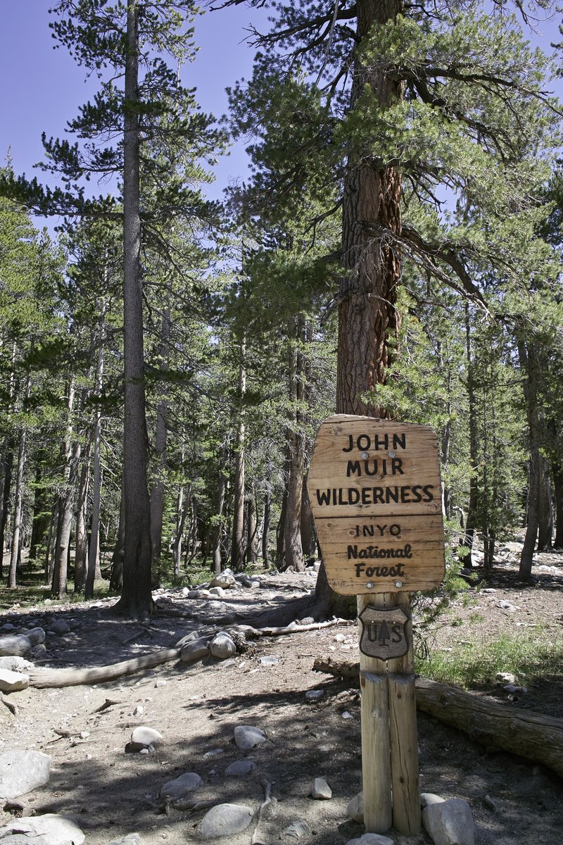
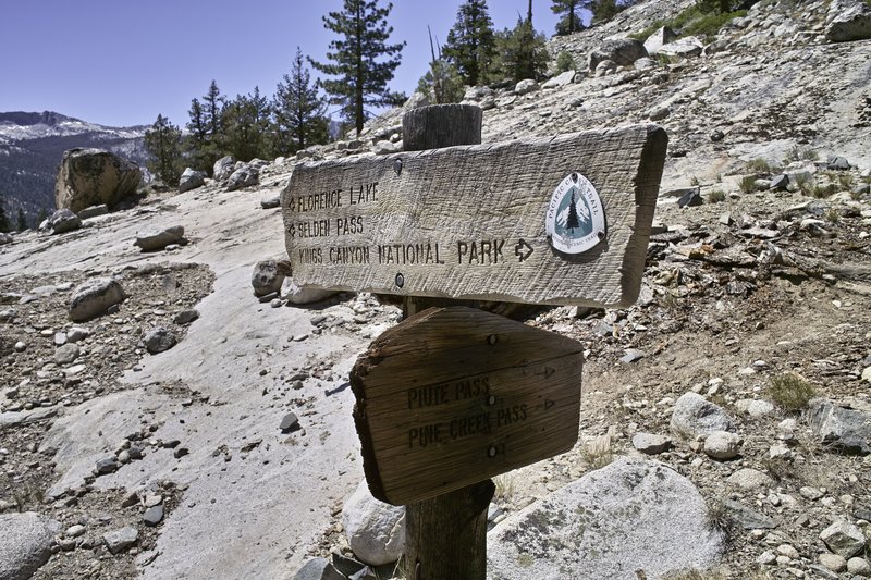
The plan was to hike a portion of the John Muir Trail, a trail I had hiked in total back in 2009. This time I would hike from Mammoth down to Whitney or so, taking advantage of some of the many off trail opportunities that were on the way. However, the snow and feeling a little under the weather would require some changes to my plans.
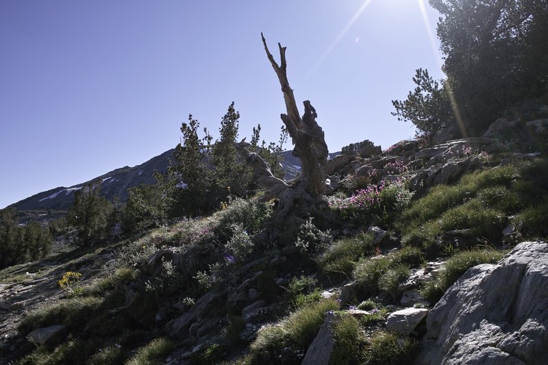
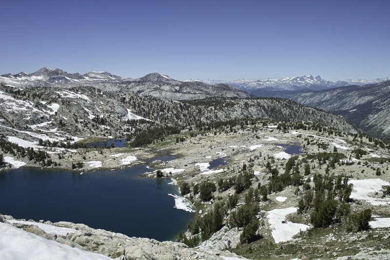
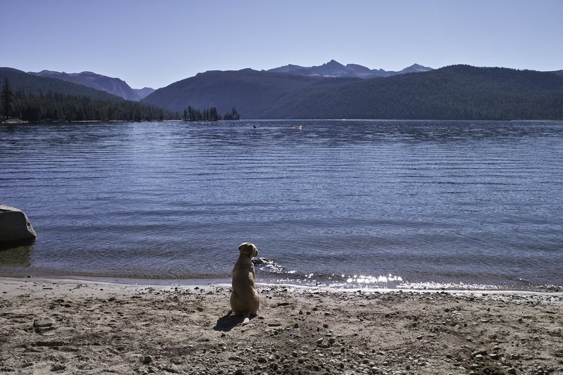
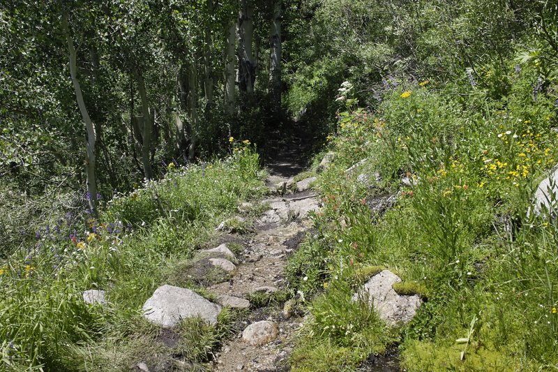
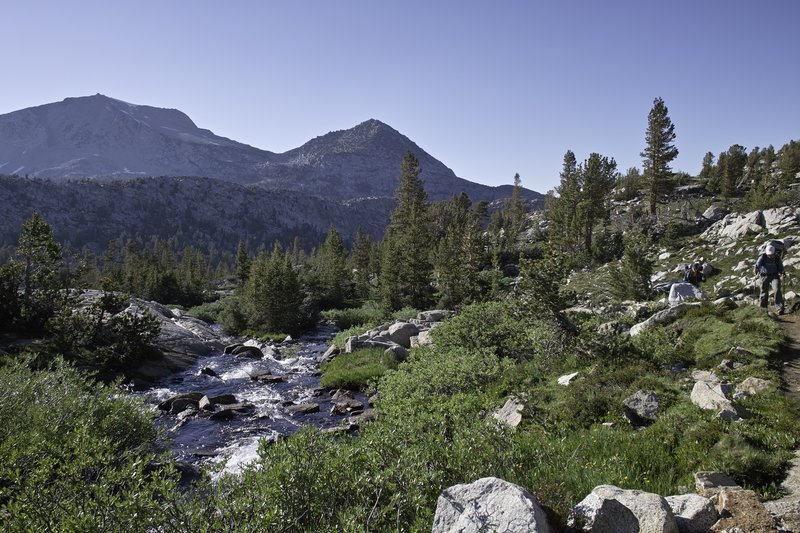
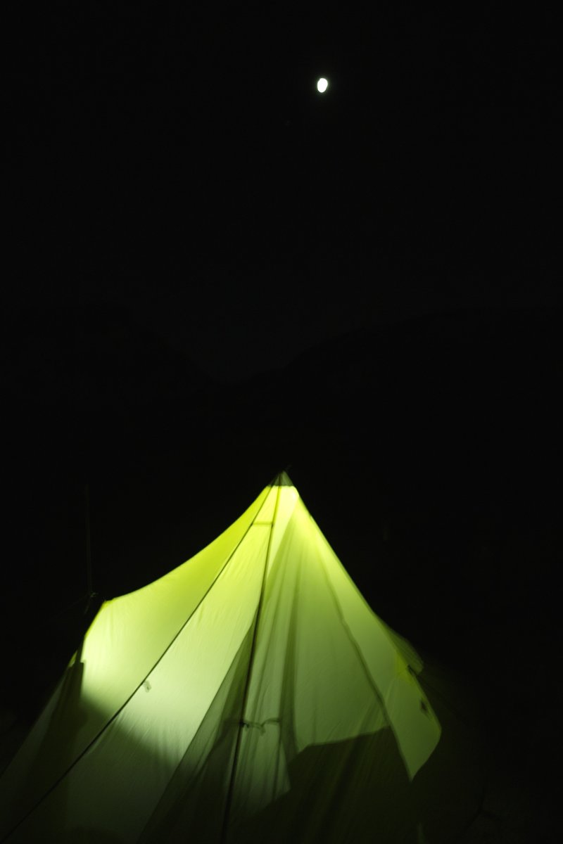
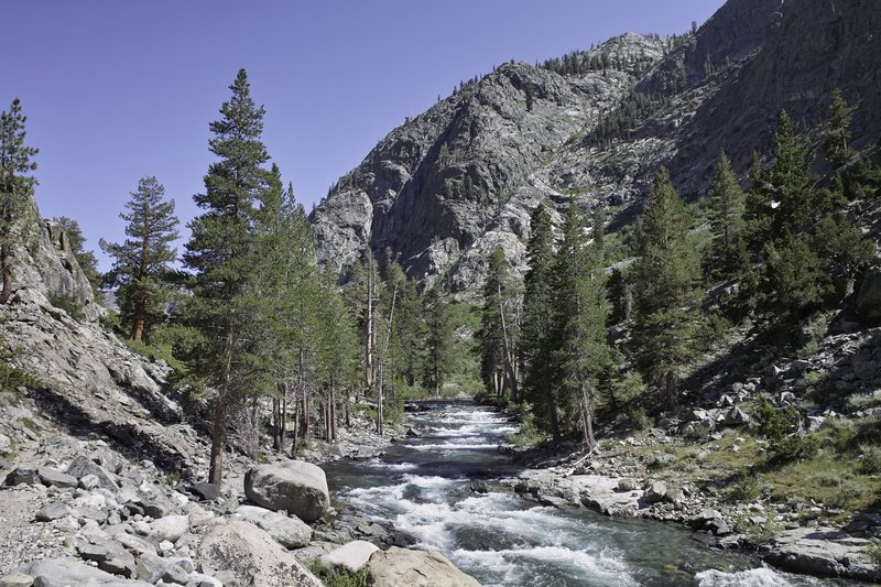
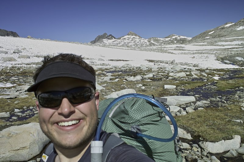
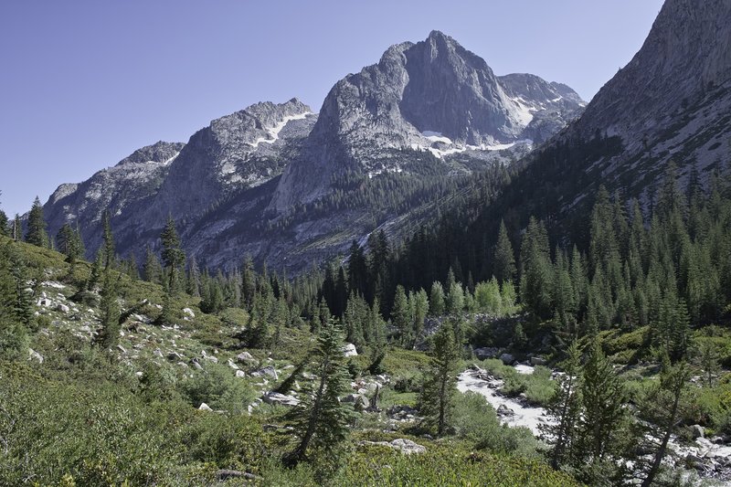
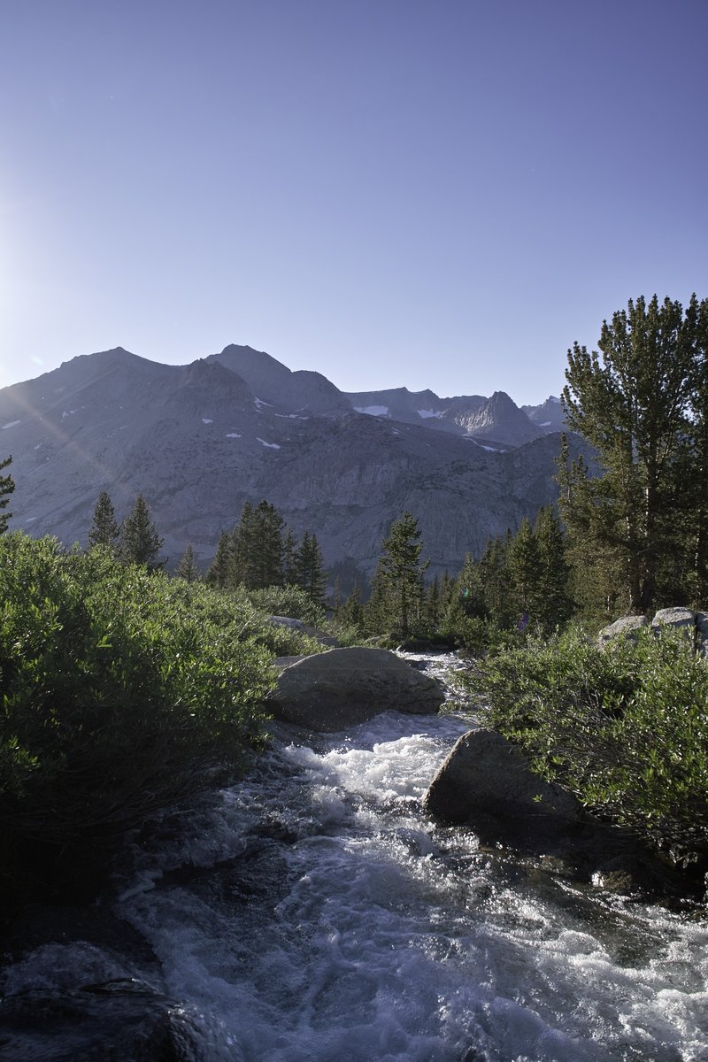
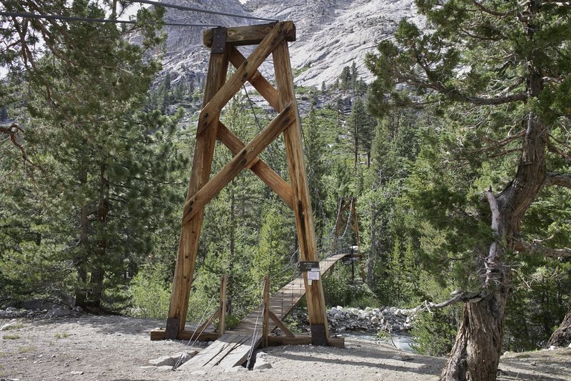
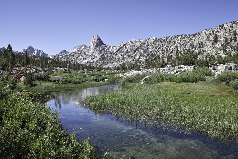
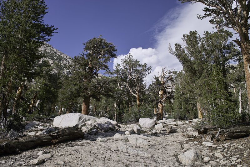
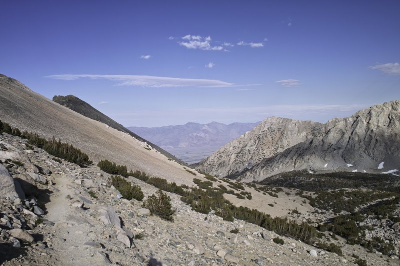
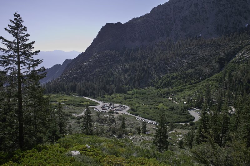
I parked my car at Duck Pass trailhead in the late afternoon, did some final checks and anti-car-bear countermeasures, and set off up the trail. The plan for the night was to make it as far as possible, but I took my time exploring several nice lakes on this trail that is overrun with tourists day hiking from town. It's a much nicer entry than Red's Meadow, which is rather dusty and viewless. The pass is a nice one, and Duck Lake itself isn't bad, but the real exciting parts were to follow.
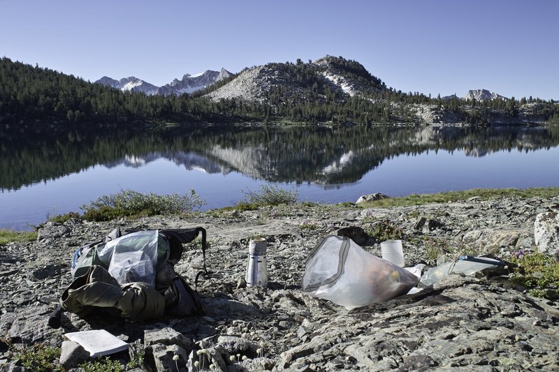
I took things easy, knowing that at 10,000 feet, I would probably experience a little bit of altitude sickness if I pushed it too hard. With 11 days of food, the pack was at a heavy 27 pounds, so I didn't want to stress myself out in the beginning. I made my way over the pass, and into the Sierras. The trail continued on to Purple Lake, my campsite for the night. En route, I saw my first marten, (no picture, but a fox-like face and ferret-like body, right?), as well as one of many grouse that I would see on my trip. Since Purple lake was crowded, I opted to head a bit up the hill to knock off some mileage for the next day.
Day 2 - 17.5 miles
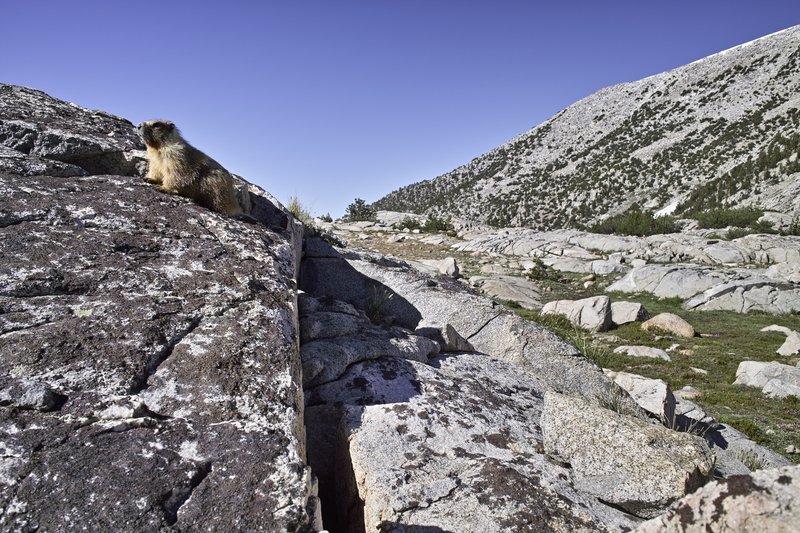
I awoke quickly and decided that a few annoying mosquitos were enough make me want to pack things up, head down to Lake Virginia, and have breakfast there. I passed a marmot chilling on a rock (far from the last, of course), and Pika colony where at least four of the little buggers were popping in and out of the rocks.
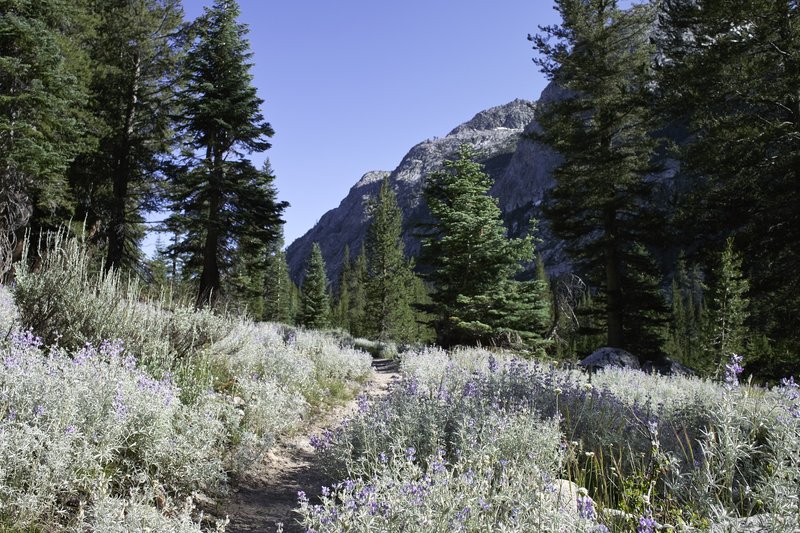
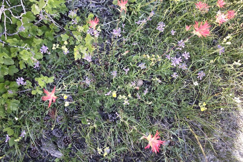
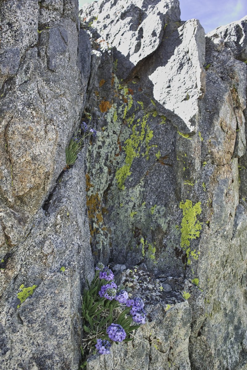
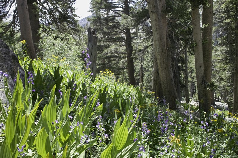
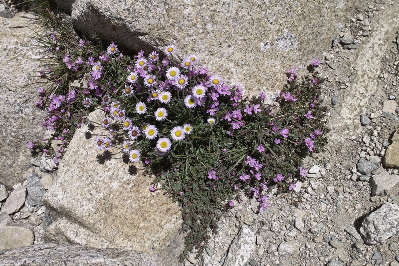
At Lake Virginia, some Via, oatmeal, and map studying were accompanied by general gawking at flowers and chipmunks. The trail was particularly flowery this year. I suspect that the late snowmelt allowed for more watering.
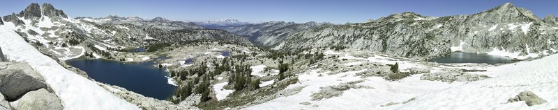
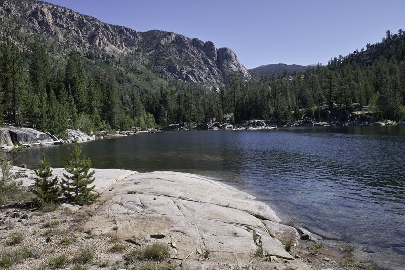
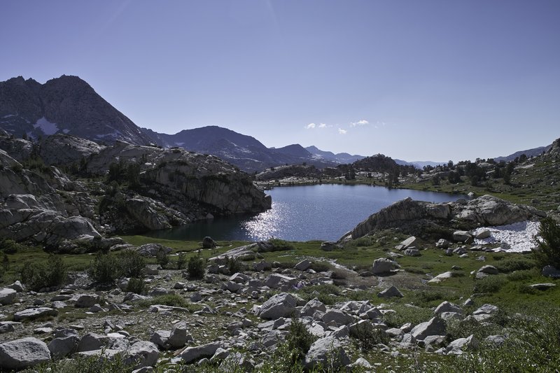
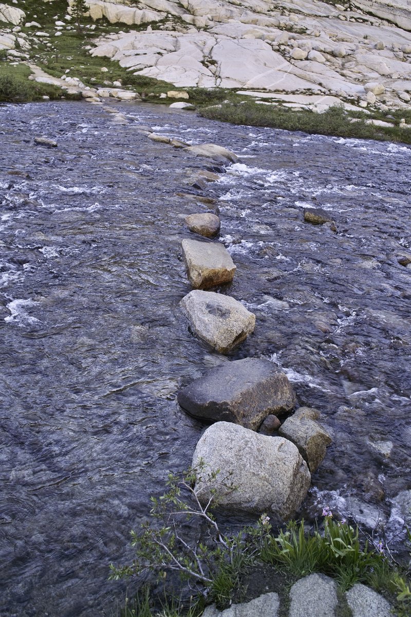
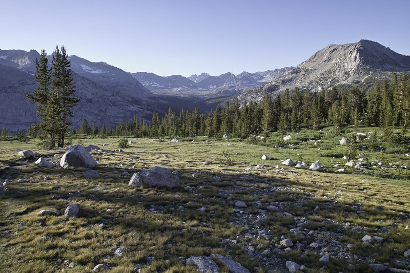
The trail then heads down into a meadowed valley, and then back up toward Silver Pass. A gradual climb let to great views at Squaw lake, where I met the first of many JMT thru-hikers. The pass is a gentle one, and, like most of the major passes this year, it had some residual snow, but was very easily traversable. About 50 feet of well-trodden kicksteps up the hill led to the summit with panoramic views, followed by occasional snowfields on the back side, leading down to a beached lake, where I would take a quick nap. The trout are really plentiful, and could even be seen in the little inlets that let to the lake, dodging around whenever they saw your shadow.
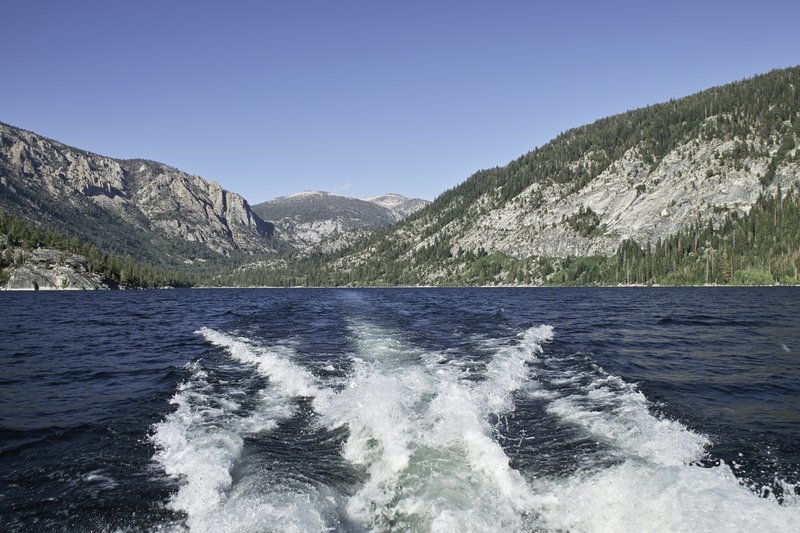
I had no plans of resupplying, but when I ran into a group of day hikers racing down the hill, quickly mentioning they were trying to catch the Vermillion Valley Resort ferry, I thought I would try to make it as well. I had enough food for the whole trip, but since the timing was right on, I'd make the quick ferry trip for the fun of it. I quickly bolted down the hill, only to find that I would be on the second ferry, but chatted up a PCT thru-hiker, Phil, while waiting for the second boat. I would later meet Connor, a JMT thru-hiker, as well as Ellen, Shannon and Sarah; some of the many JMT hikers I would leapfrog with over the upcoming days.
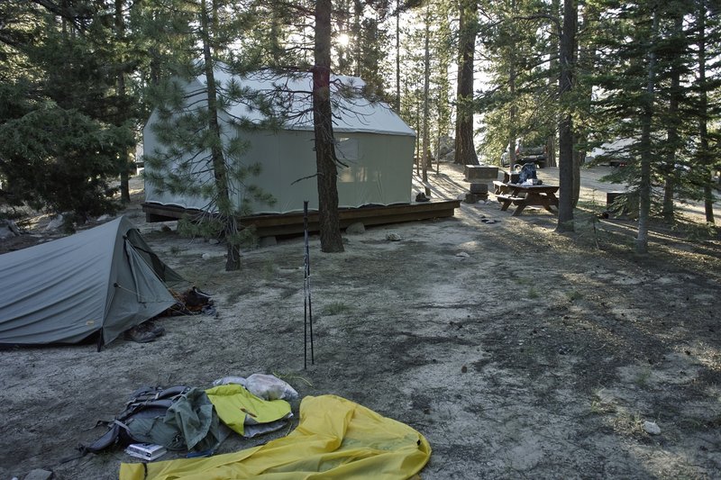
I opted not to do dinner to save a little bit of money, but stayed in the backpacker's camp (really the area next to the backpacker's tent, as to avoid boy scouts), where we talked logistics and nerded out over maps for the next day.
Day 3 - 14.0 miles
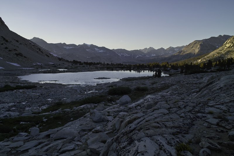
I ate breakfast at VVR (omelets sure beat dried food, even if it's day 3!), mused over the day's plans, and headed back to the ferry stop. A quick half-hour ride back to the other side of the lake left us at the bottom of Bear Ridge: a thankless hike uphill that is best done slow and steady. I would run into another hiker who went by "Time," whom I would also run into several times, bolting up the trail. The rest of us decided to continue on to Marie Lake. The trip to Marie involved a riverside walk and a stream crossing which, a few weeks earlier, was apparently very swift and high, but by now had returned to normal levels.
The trail climbed towards Marie, and ended up in a rather Idyllic meadow, before making the final push up to the lake. The lake itself was quite crowded: generally the trail was a bit busier this year, and it appears that many people had delayed their trip due to the snow levels.
I ended up camping next to Joan from Seattle. I had planned an alternate and a little off-trail for the following day, but with almost all my alternates, my plans would be scrapped because of the large amounts of snow that would slow things down, and because of the beginning of lingering cold-like symptoms that would slow me down enough to make added mileage undesirable.
Day 4 - 14.5 miles
I awoke early the next day and made the quick trip up to Selden Pass, just a few hundred feet above Marie Lake. I made a wrong turn due to a snowfield, and ended up a little to the left of the pass, but quickly found my way back. I would later hear through hiker "telephone" that another hiker would make the same mistake just an hour or so later, hit a patch of ice, and break her ankle. Fortunately, Connor is an EMT, and was able to hit the Spot, and await the helicopter. Apparently the (Inyo?) country sheriff's copter did not see them even after several circles, so it took Connor going down the hill and a trail crew radioing CHP to get a response.
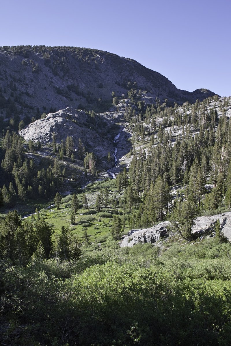
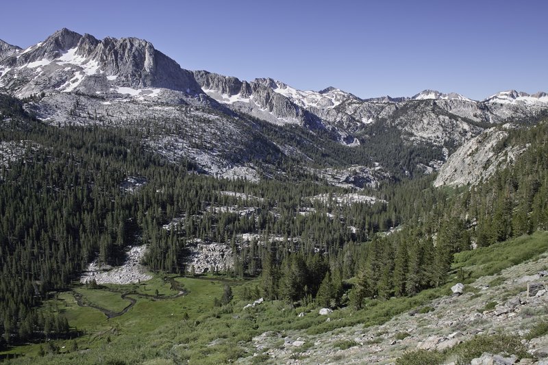
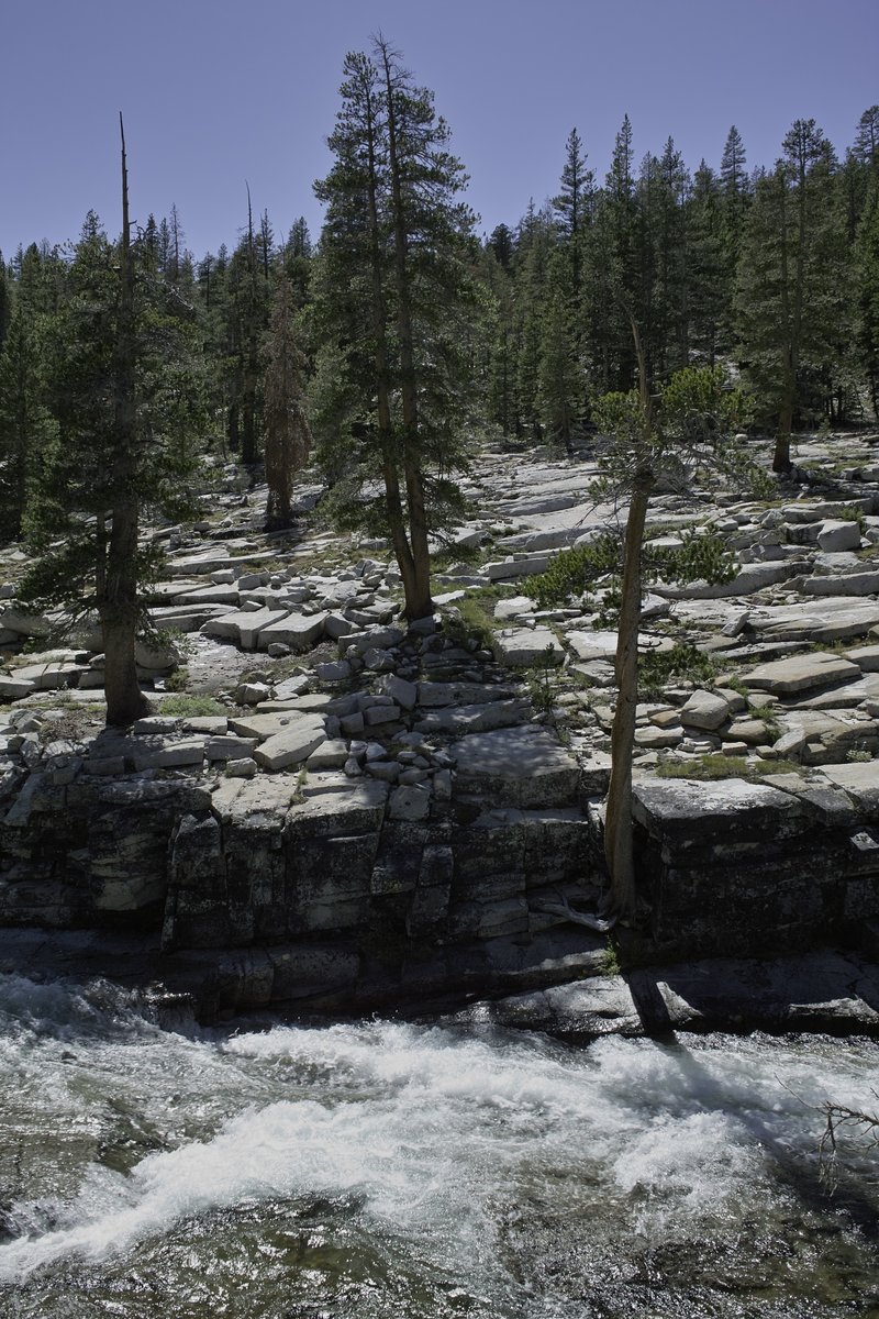
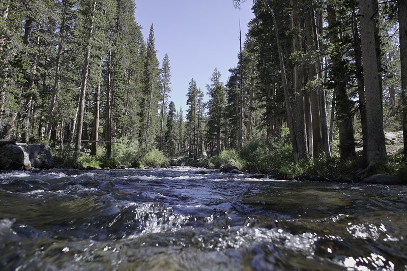
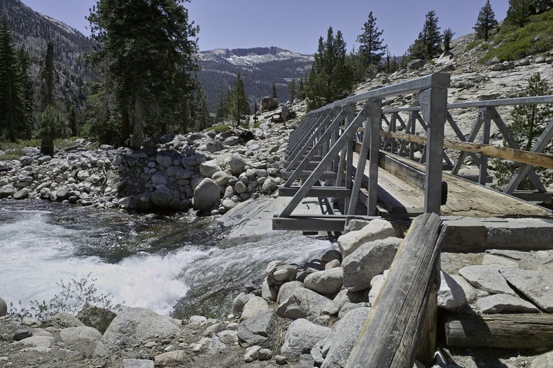
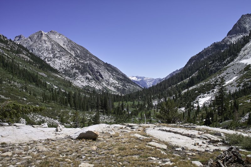
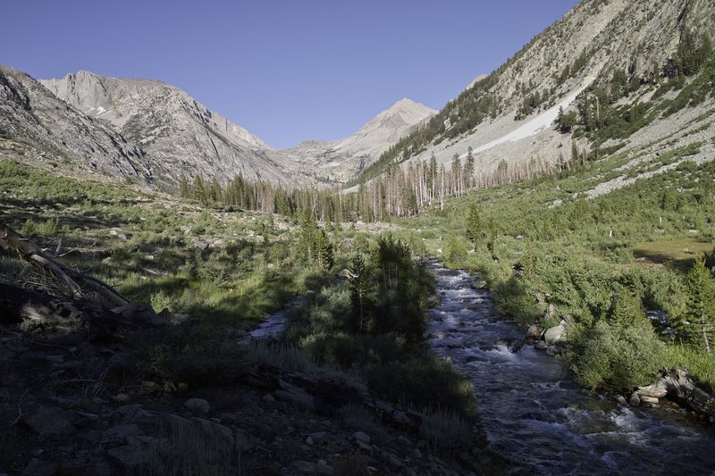
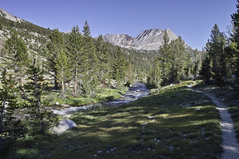
I was far down the hill by this time. The trail passes through beautiful Heart Lake, Sallie Keyes Lakes, and then down a hot, hot hill, eventually reaching Piute Creek. I didn't take enough water and was a bit dehydrated by the time I reached the bottom. So at the creek, I cracked open a dinner, fired up the stove, ate, and then took a short nap. I would then continue on with Time, following the San Joaquin river for several Juniper-lined miles, to a campsite down below Evolution Valley.
Day 5 - 11.5 miles
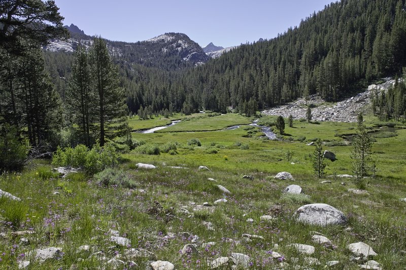
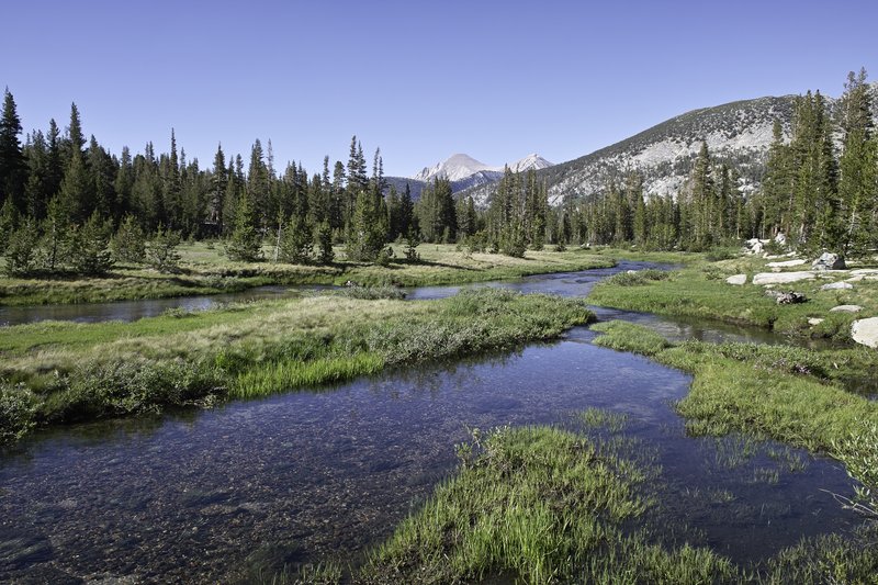
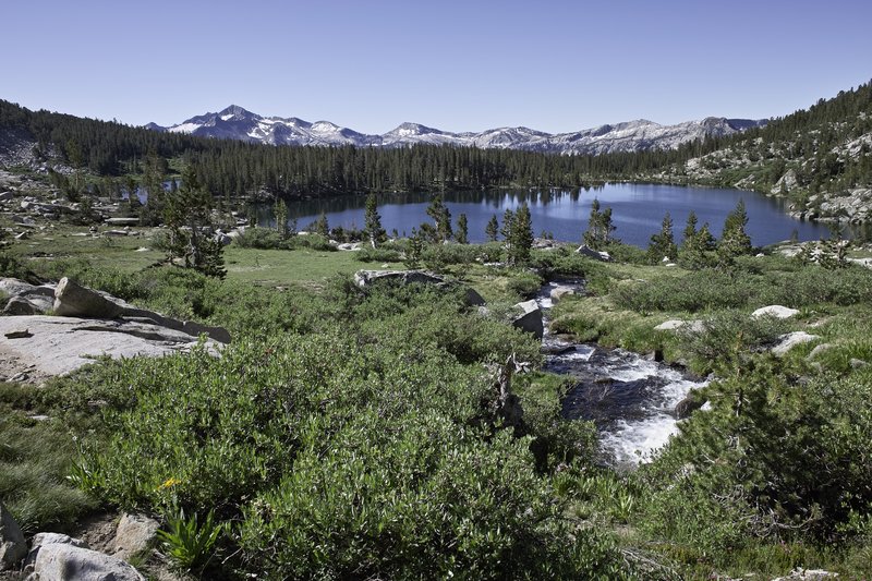
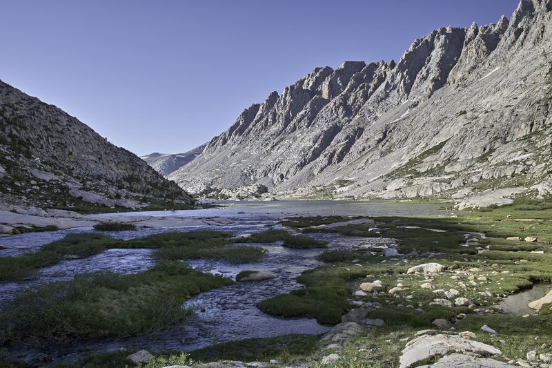
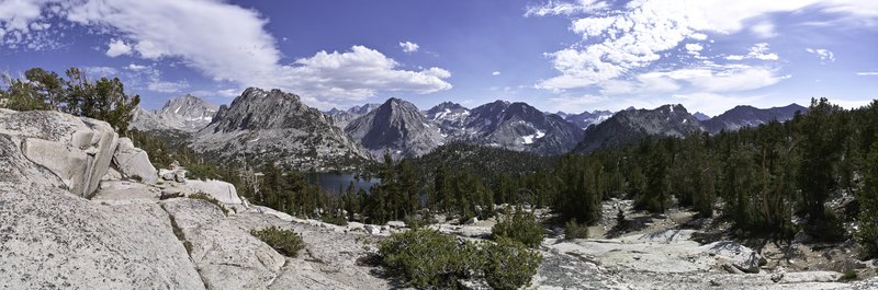
This day was uphill. The trail climbs steeply into Evolution Valley, follows a creek, and then crosses one of two spots: the very easy, sandy beach-like official alternate, or the sometimes difficult original trail, depending on the water levels. Even though things had settled down, I opted to take the easy meadowed route, and then continued to McClure meadow. I took a nice long break since I didn't plan on going much further than Evolution basin that day anyway, so I found a nice place to eat, dig a cathole, and generally laze about.
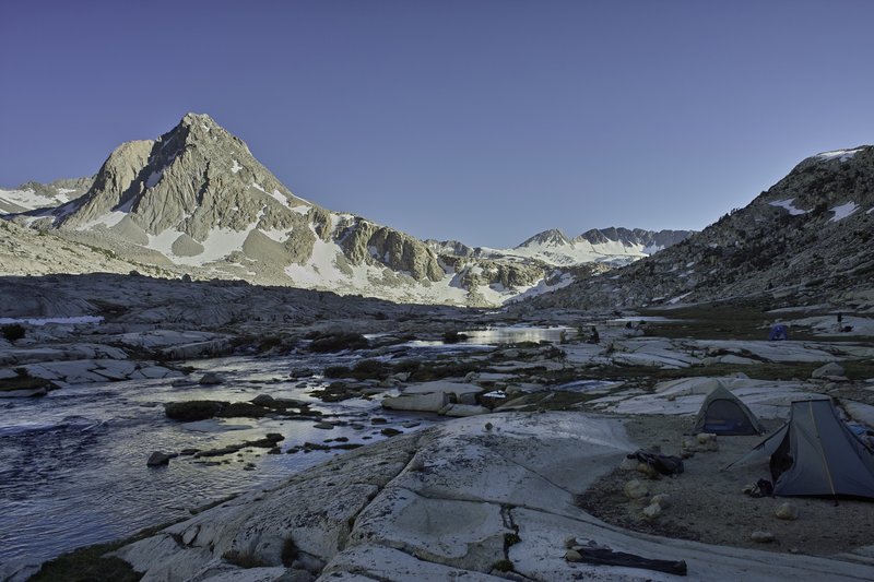
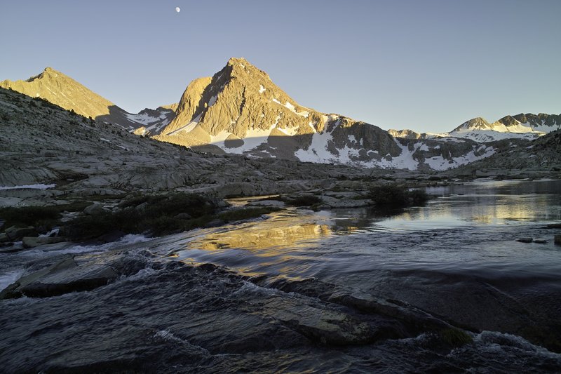
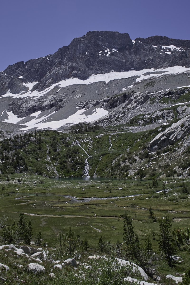
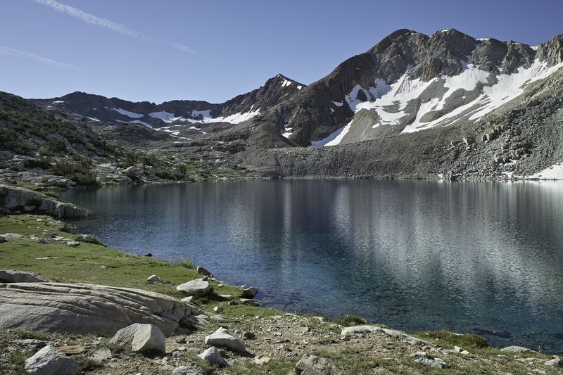
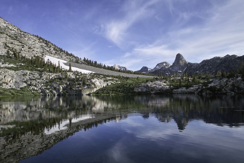
In the late afternoon, I made the climb into the granite-swept Evolution Basin. The UV's were scorching at such a high altitude, and the mosquitos had just hatched at Evolution Lake. I continued on to the mouth of Sapphire Lake, where the views were phenomenal, albeit there was an abundance of campers. The alpenglow was fantastic.
Day 6 - 19.5 miles
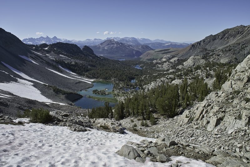
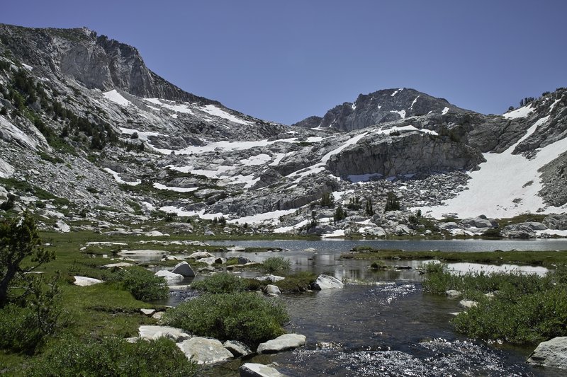
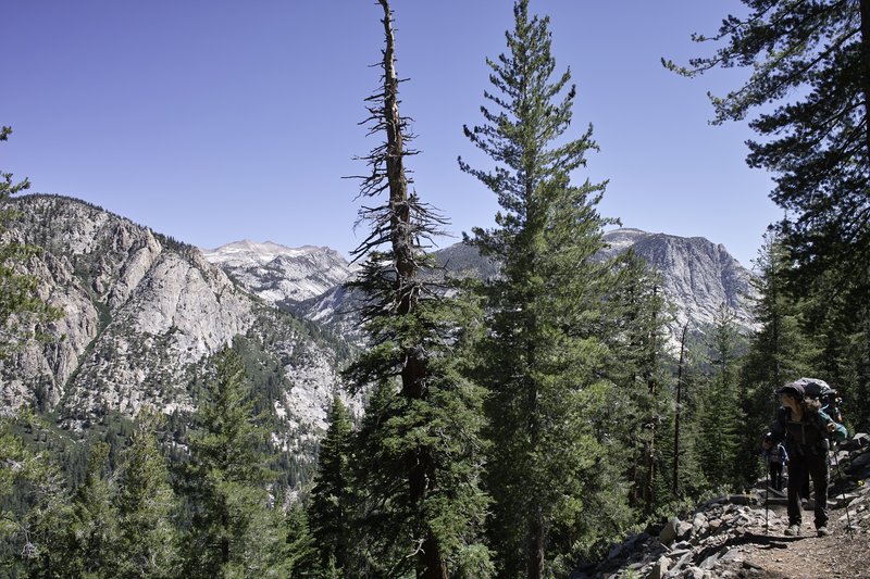
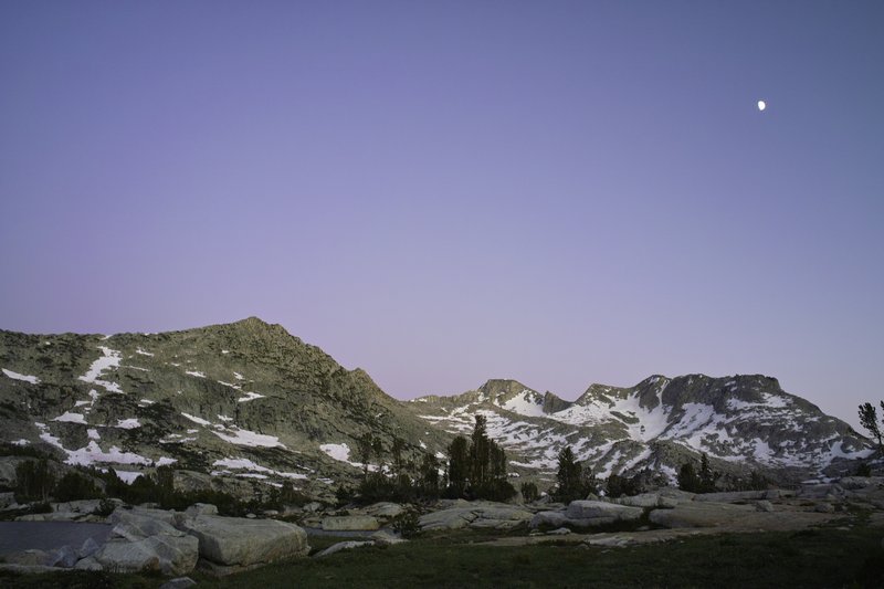
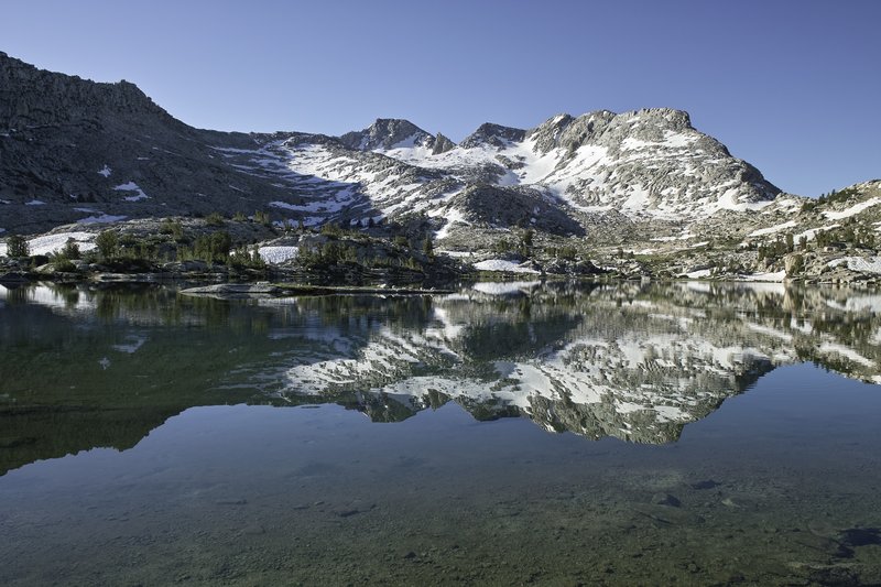
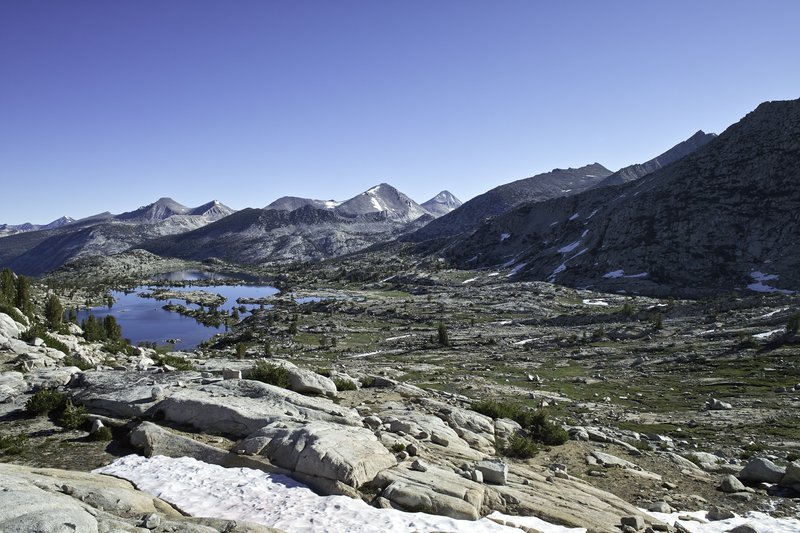
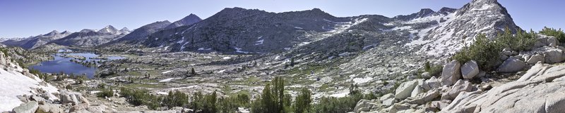
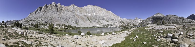
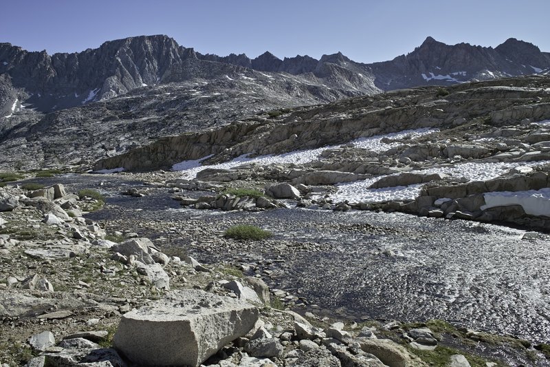
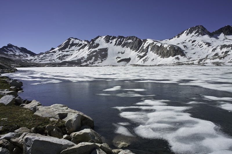
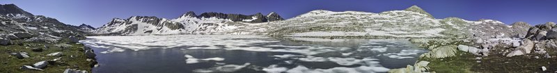
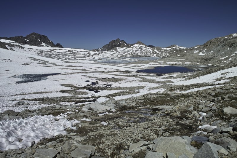
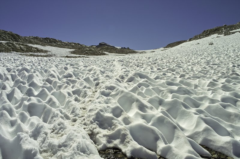
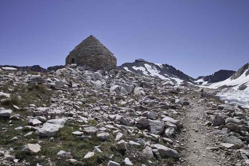
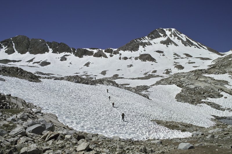
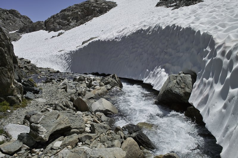
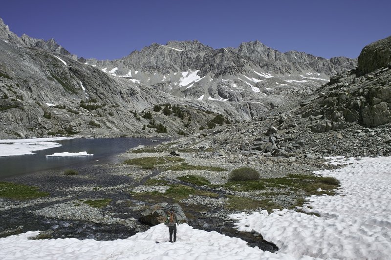
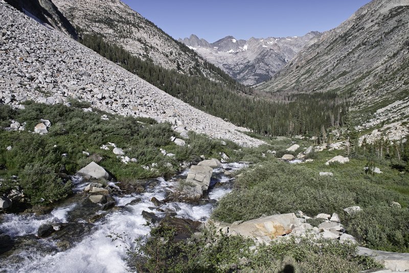
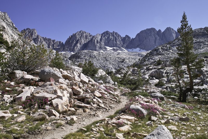
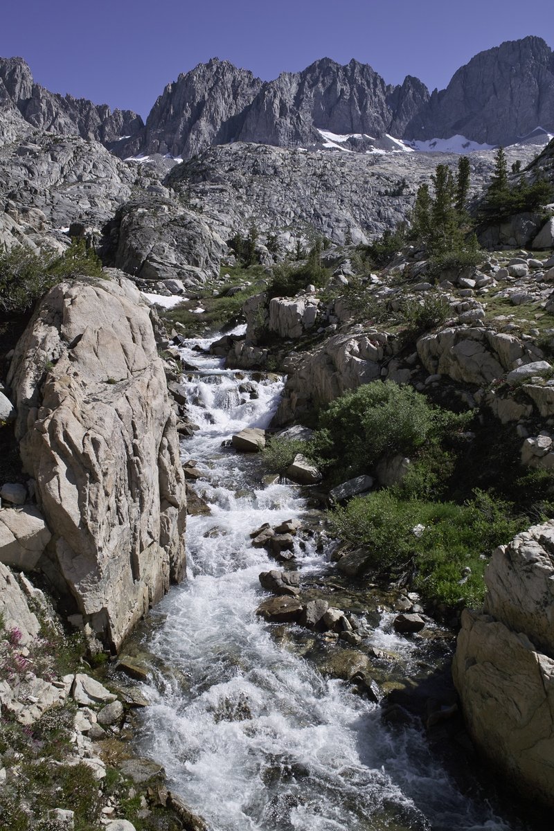
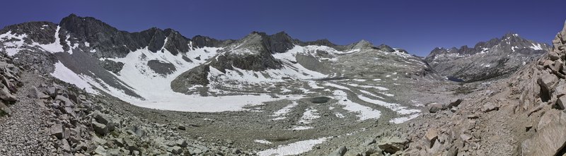
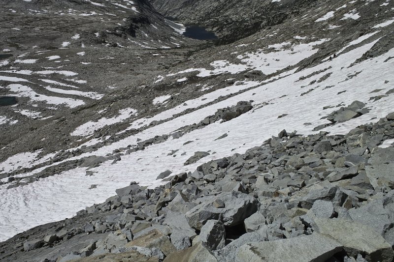
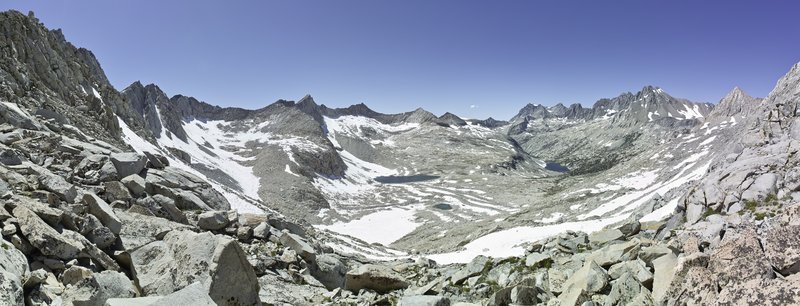
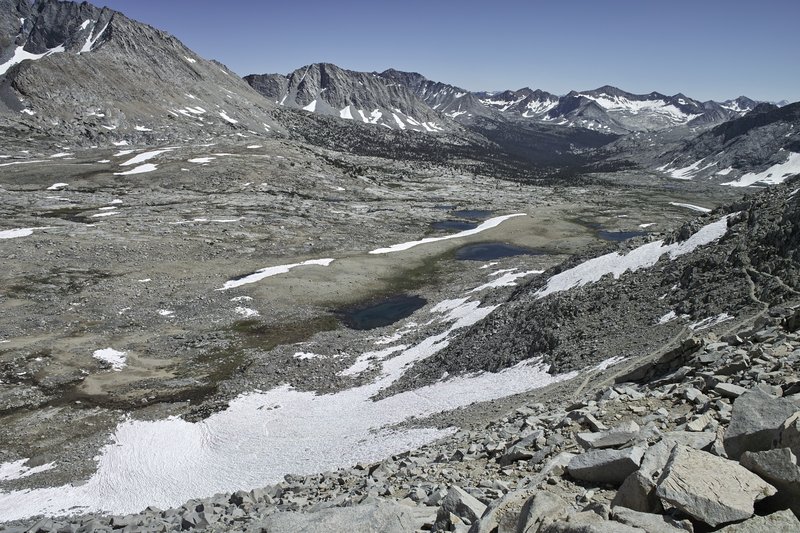
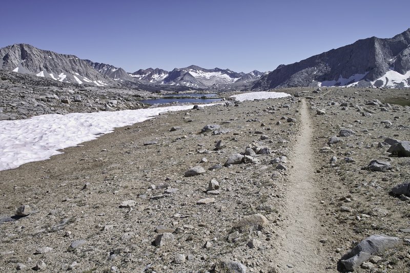
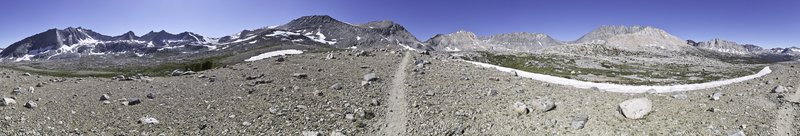
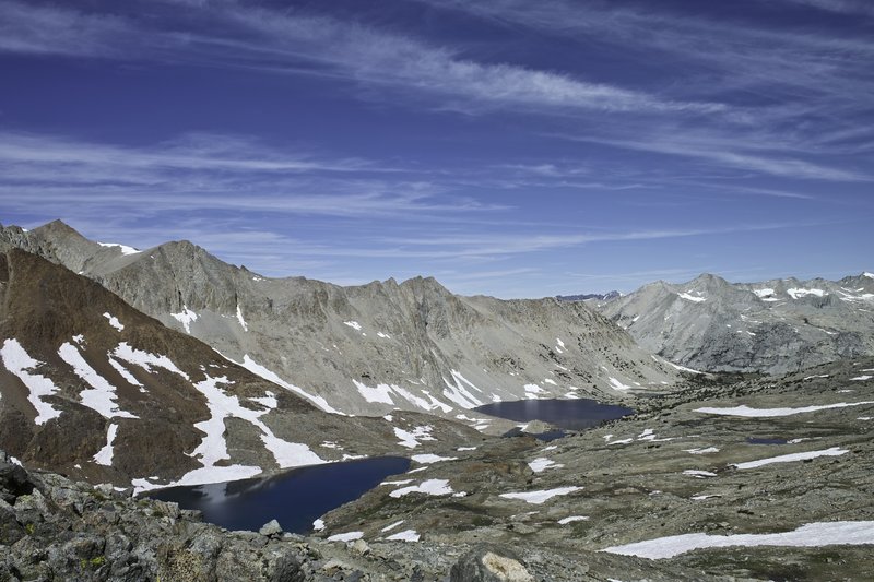
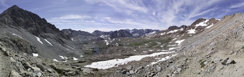
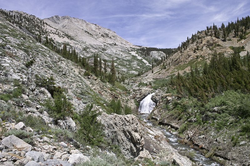
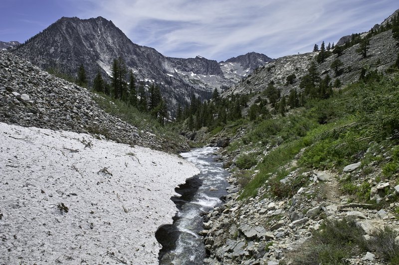
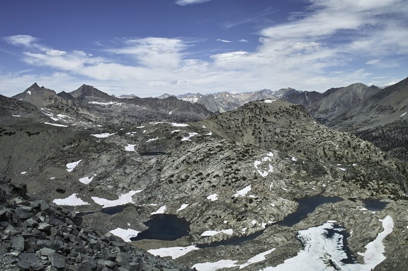
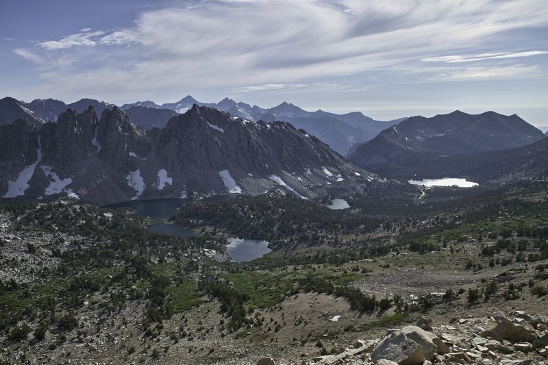
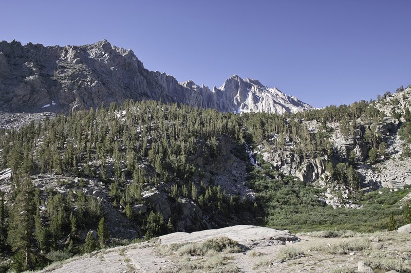
Today was Muir Pass. This is probably the most dramatic section of the JMT, and the snow made for a fantastic, expeditionary feel. I ascended Muir Pass with about a mile of patchy sun-cupped snowfields on the ascent. Wanda Lake, at 11,500', was still frozen over, but a waterfalled creek flowed from the lake, making for a beautiful landscape.
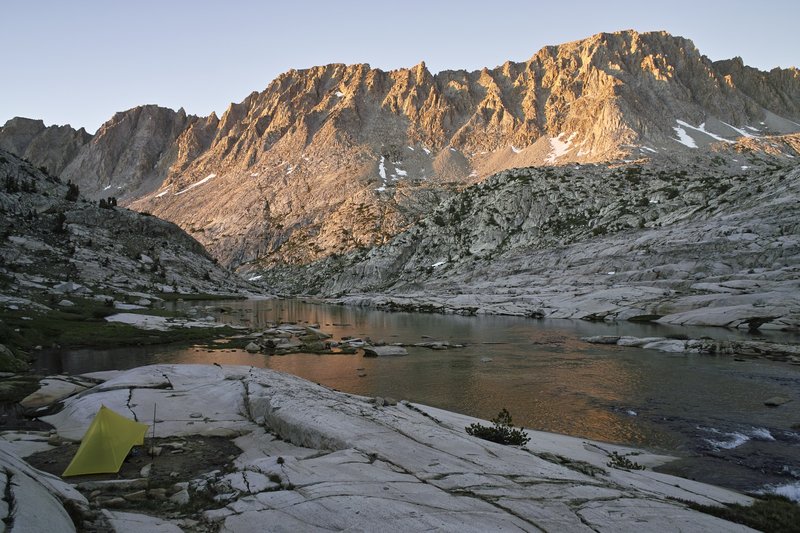
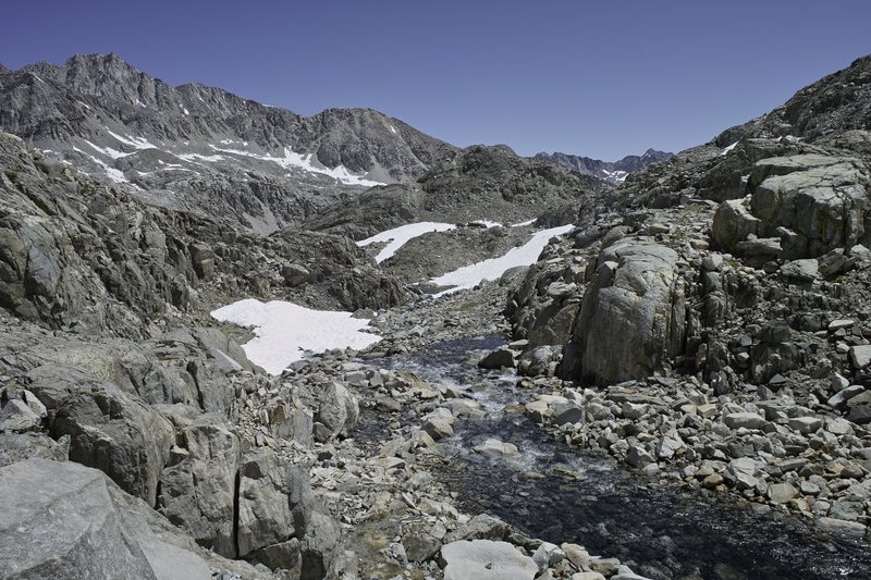
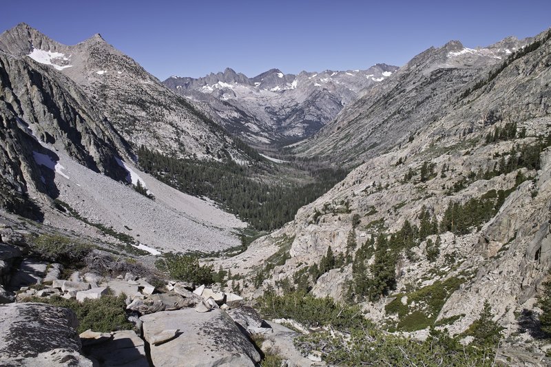
When I arrived at Muir Hut, three hikers who I met the night before were there, eating their snack, so I joined them for several minutes and then headed downhill over several more snowfields and across a section of sharp, variegated rock, mixed with streams and snow bridges, which served as the trail. The trail then drops down into LeConte Canyon, with tall mountainous granite, dramatic waterfalls, and meadows. The section from Evolution Lake through LeConte Canyon is probably my favorite.
I was hiking with Connor, ran into Joan and other Chris. Eventually we stopped for lunch, I took a nap, but then continued down the canyon. I decided to catch Connor and continue on to Deer Meadow for the night. We warded off more mosquitos with a small fire and I spent awhile diagnosing my filter.
Day 7 - 16.0 miles
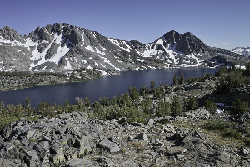
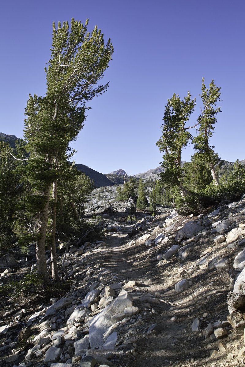
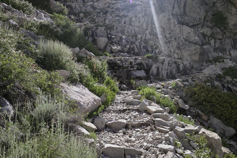
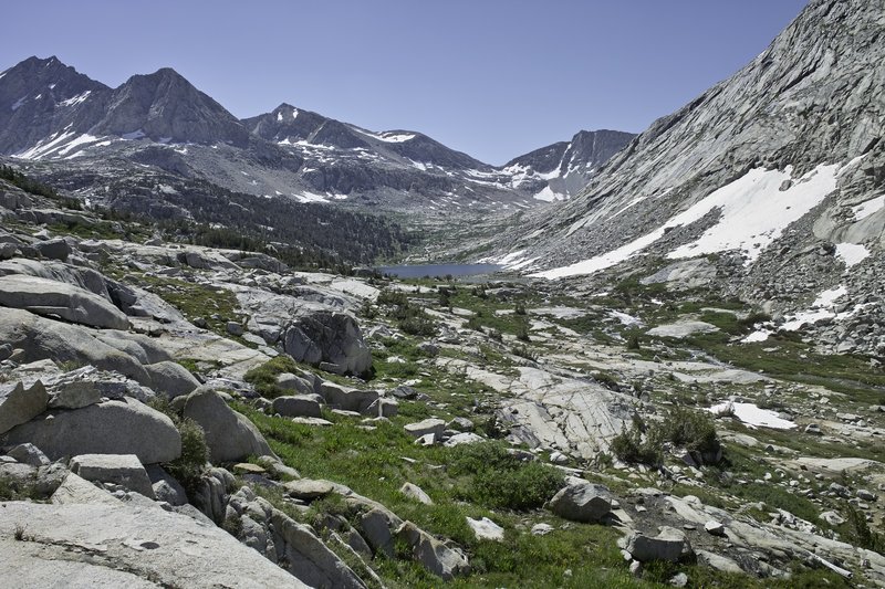
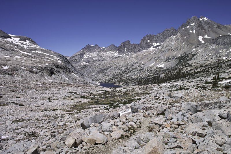
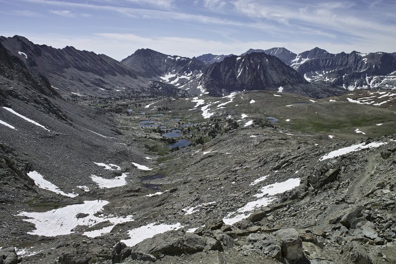
Mather Pass. The trail continues to follow Palisade Creek, eventually following a series of switchbacks up the hill, which, because of all the water this year, became a switchback garden: hundreds of flowers lined the well-built stairs up to Palisade Lakes. The lower lake, which I was hoping to swim in because of it's beachy-like qualities was mosquito-ridden, so I continued up around the slabs above the lake to a small stream where I was able to do some laundry, eat some lunch, and take my daily nap.
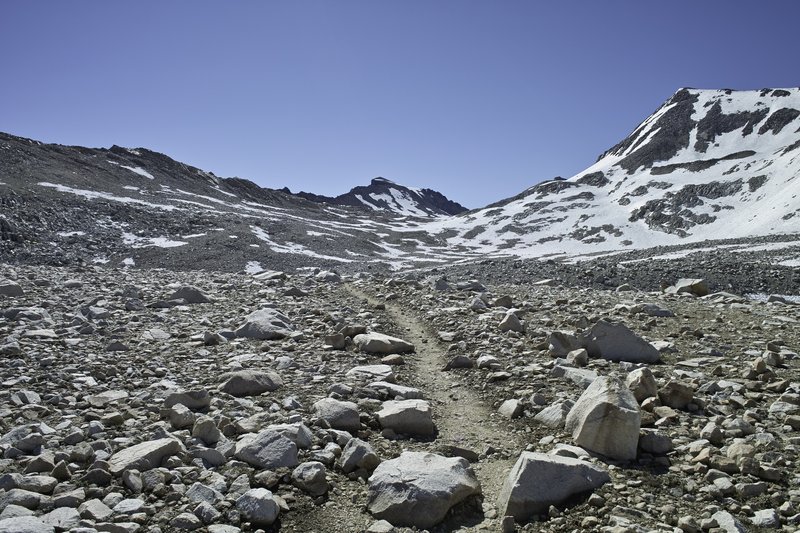
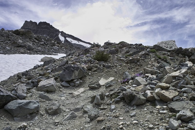
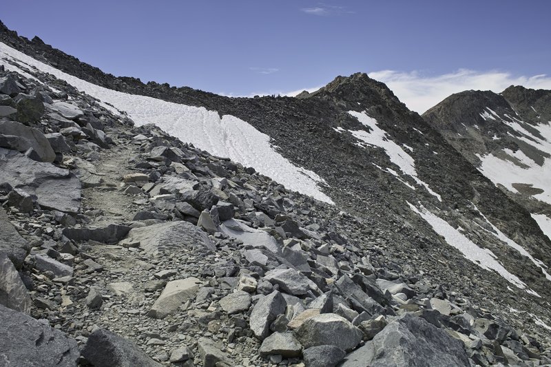
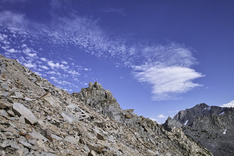
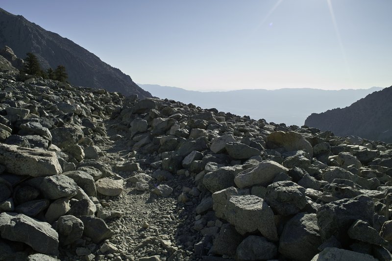
The climb to Mather is nicknamed the golden staircase. The switchbacks are rather dramatic ascending the south side, and this year there were several snowfields to contend with to get to the top. The first major snowfield was just fine, but it was getting late in the day, and the upper major snowfield was on a rather steep incline, and was a bit more than I wanted to tackle. I descended across a talus field, crossed a flat suncupped snowfield, and then climbed several hundred feet of talus back on to the trail. The views at the top, of course, were amazing. More snowfields, steep and slushy, awaited on the other side.
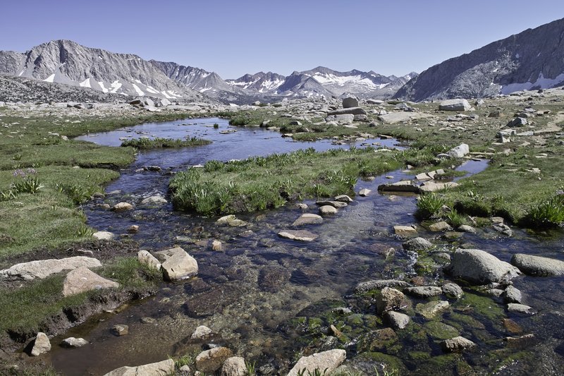
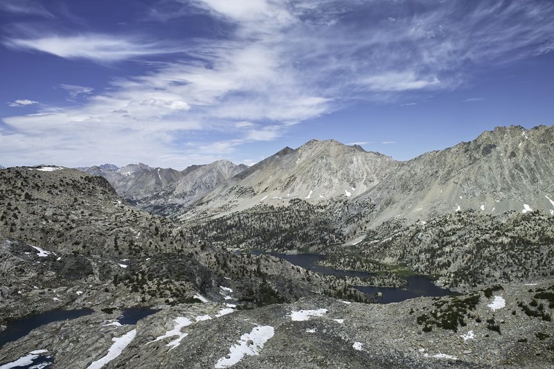
Upper basin, on the south side of Mather, has what can only be described as a lunar quality. If it weren't for several green oasises and the carpet of green trees in the distance, you would almost think you were on the moon. Really amazing. It was one of those moments where your jaw just hangs open.
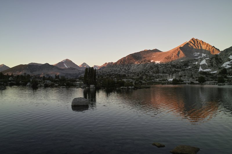
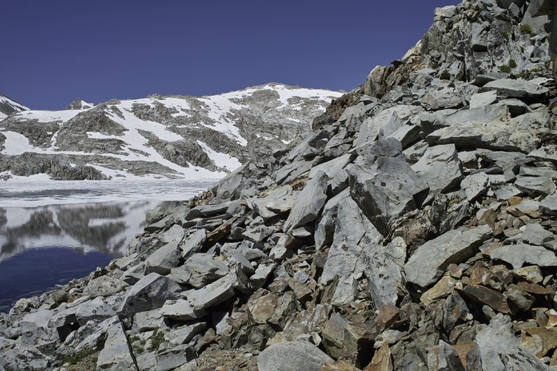
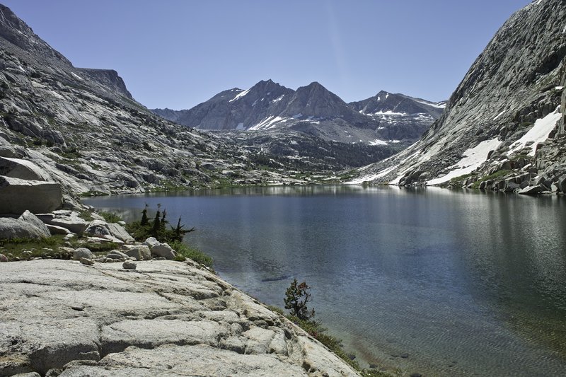
More marmots, a really rocky trail, and a few thousand feet of descending, then ascending led to Lake Marjorie. The lake was cold, but the sunset leading from the meadows to the lake was phenomenal.
Day 8 - 14.0 miles
Pinchot Pass. This one was relatively easy from Marjorie Lake. Pinchot has more of a rocky feel, and surprisingly had mosquitos at the top! How mosquitos hatch at the top of the pass are beyond me. The pass also had some amazing flowers and bits of bright moss.
During my travels down the rocky trail downhill, I reassessed my plans. Cold-like symptoms were persisting, which were keeping my mileage down and leaving me more tired than I would have liked. I decided I would modify my trip to either take a 0 day or come out Kearsarge pass, depending on how things were in a day. So I continued down the super-hot Woods Creek Canyon, passed what looked like a cross between a giant pika and furry rabbit, and made my way to the Rae Lakes Loop intersection. At the intersection, I took my lunch, nap, and then made my way uphill towards Dollar Lake. I was really feeling it, so I decided to turn in at Dollar, camping next to a Sierra Club group.
Day 9 - 12.5 miles
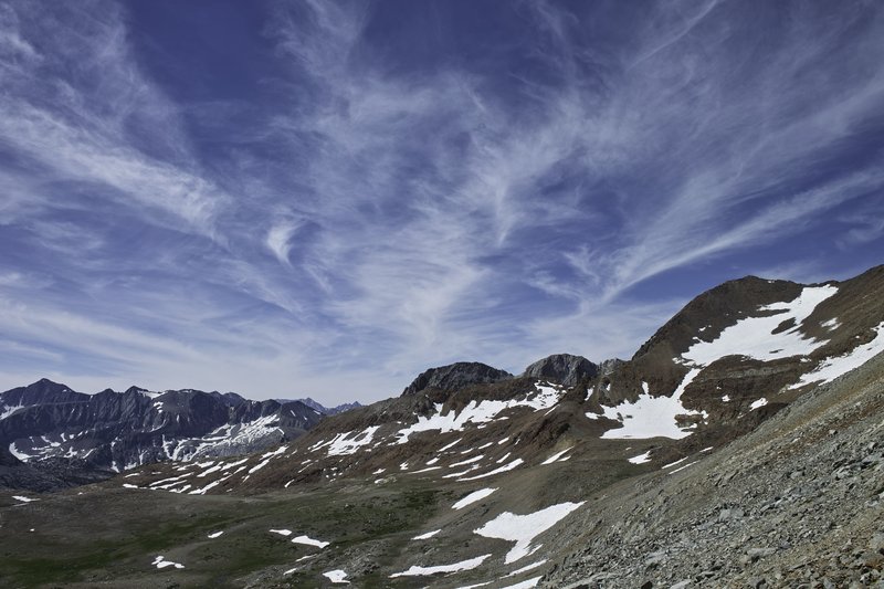
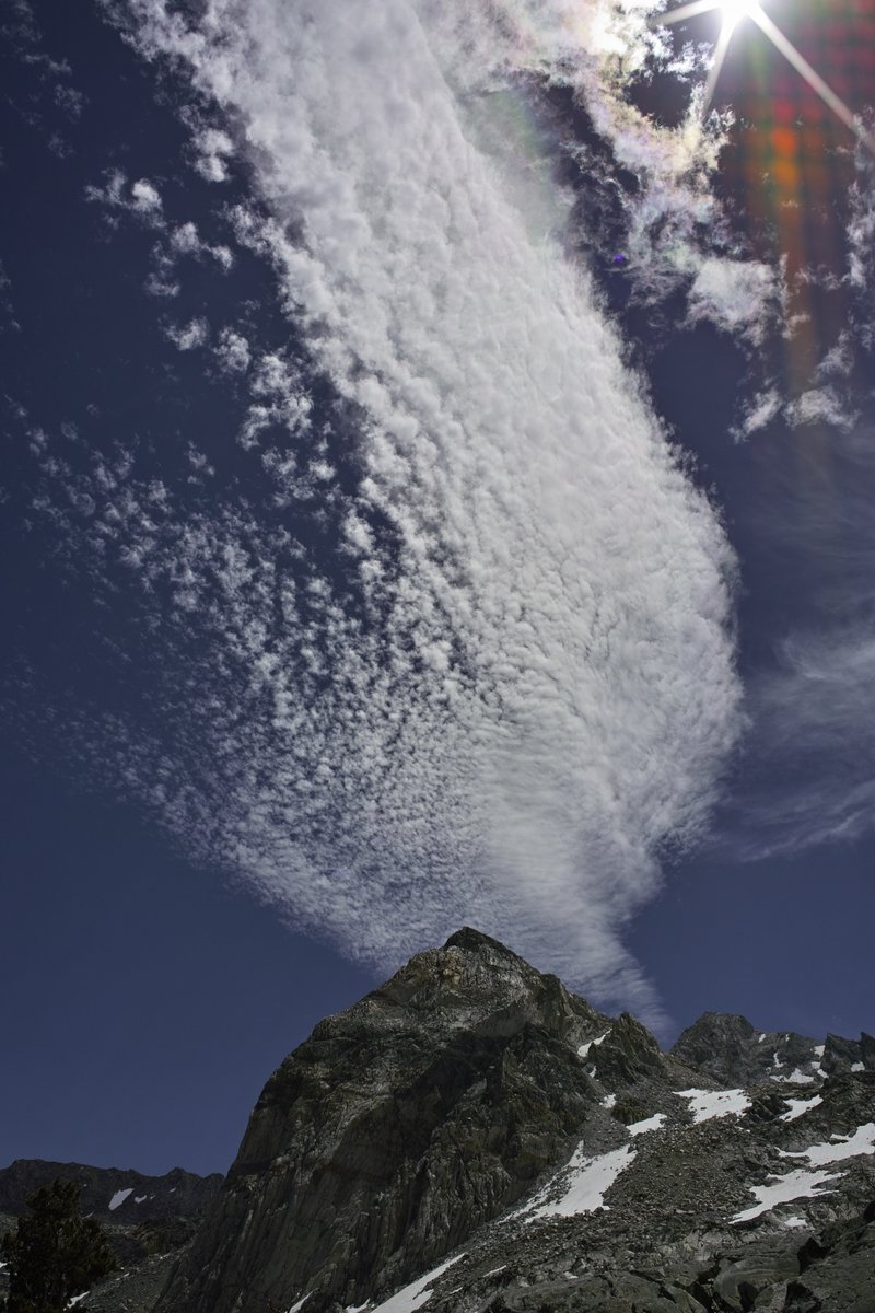
The symptoms were persisting, so Kearsarge it was. I headed up towards Rae Lakes only to find the Cirrocumulus (I think?) clouds building. I checked with several people coming over Glen Pass to assure thunderheads weren't waiting on the other side, and then headed up the pass.
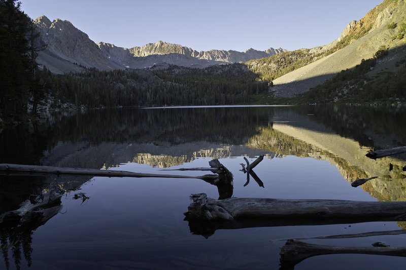
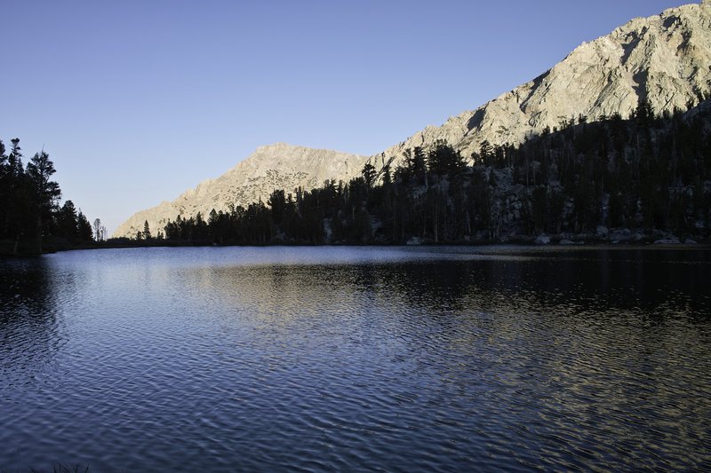
Glen held more snowfields, but super easy ones. I descended the pass, and then headed over Kearsarge Pass. It was a little sad to end my trip a day early, but probably the right move. I descended towards Onion Valley and made my final camp at a lake, only to be interrupted in the middle of the night several times by a mule deer who was intent on eating the grass right next to my tent. Lots of yelling and flashlight waving would not deter her from her meal.
Day 10 - 2.5 miles
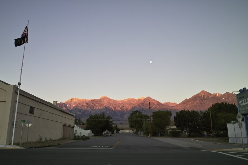
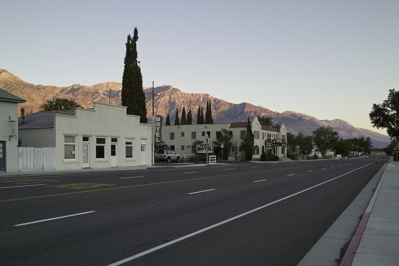
The final day, I headed down towards the trailhead, making a quick stop on a prominent rock that had cell service, so that I could book a motel room. It took about an hour to get a hitch down into Independence, CA. The town is one of several similar unique but sparse towns on 395. Two restaurants and a Subway. After a long shower, some sink laundry, and a good nights sleep, I was feelin' good.
Day +1 - lotsa driving
The next day I woke up early and caught the CREST bus to Mammoth, and then took the trolley back to my intact, functioning car at the trailhead. It would take a little over 12 hours plus stops to get back to Portland, including endurance of the In-and-Out lunch line and several stops to stretch. It's a good long drive, but worth it in every way.
I can't wait to get back next year.


Comments

Eric Peterson
August 18, 2011
OMG, wow!!
Kyle Meyer
August 18, 2011
Jesus Christ. Next year, I'm doing the JMT.