

22 miles of hiking • 5250' elevation gain •
A great hike with the loonies!
We started at Don's house, where he showed us some neat ideas for a trip based off of the LIDAR maps in an area that looks like it could be the remainders of the Bonneville Slide.
The drive to Silver Star pretty quick from Vancouver—we went a new route I hadn't gone before, past the Larch Corrections Center, and the road started to ice up a bit. The car's thermometer started to oscillate between 30 and 48—a sign of things to come for the day.
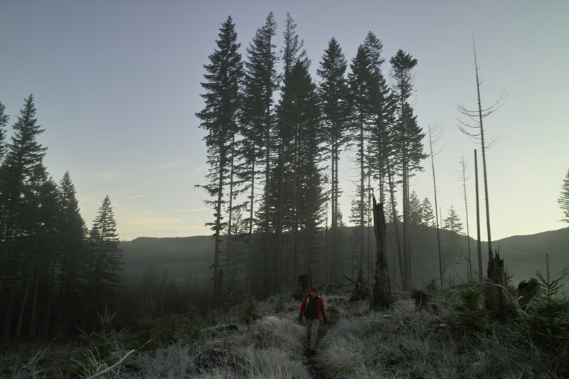
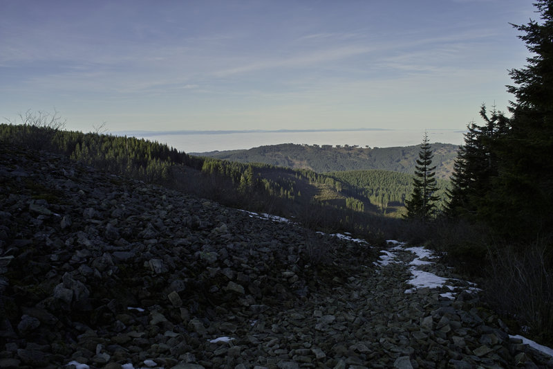
After some discover pass antics, we parked at the Rock Creek campground area, just off the road, and headed up the Tarbell trail towards Larch Mountain. There was one reroute on the way that looks rather recent, but otherwise the route is on trail, or old railroad grade.
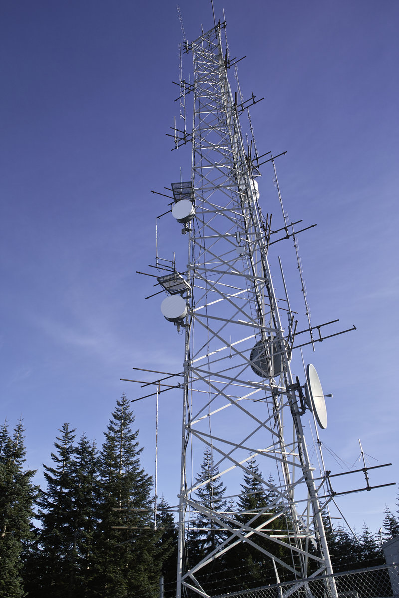
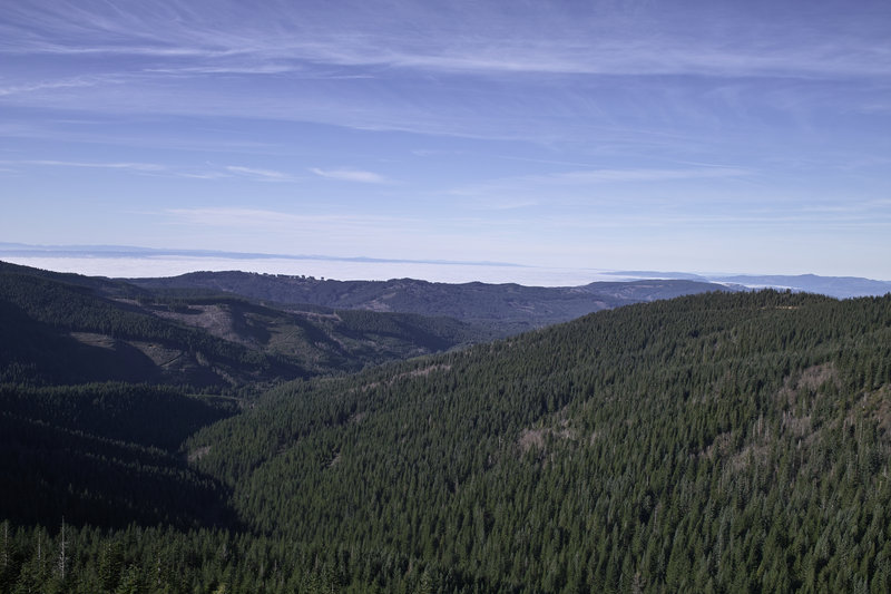
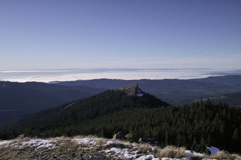
Larch mountain pales in comparison with it's Oregon counterpart. It's really just a bunch of microwave towers, with little to no views. We stopped for a quick break, and contemplated taking the sleds—which someone had stuck in a tree—out for a spin.
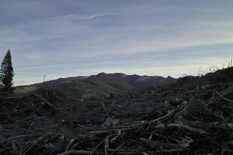
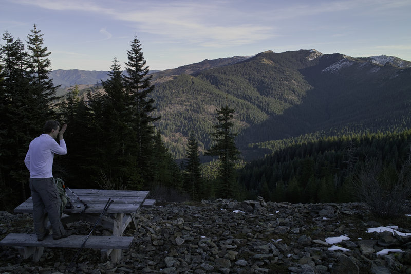
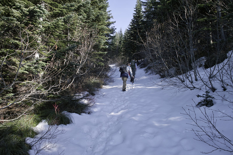
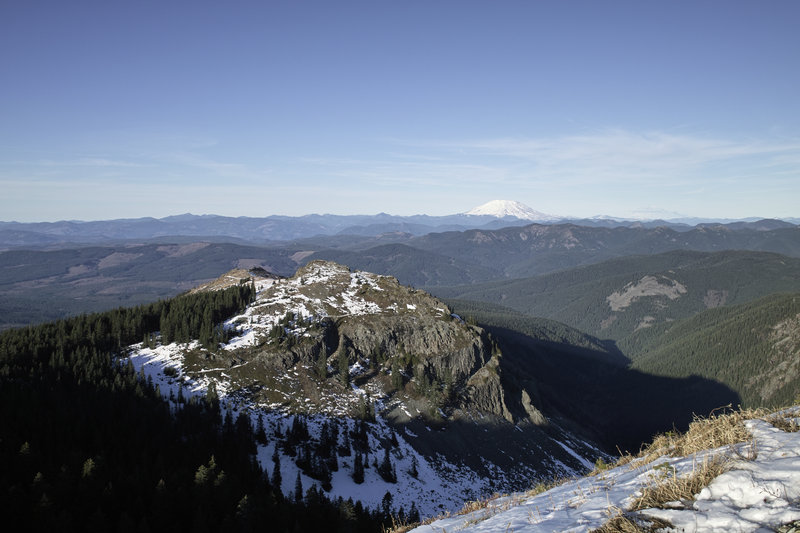
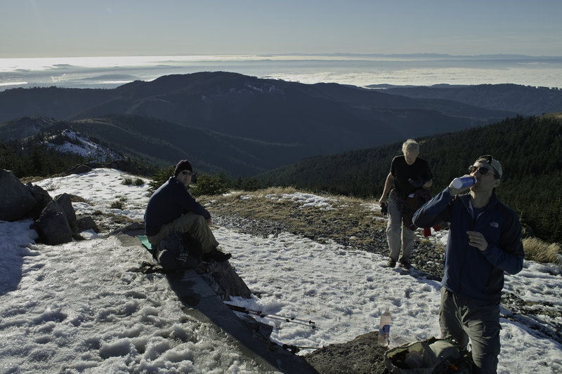
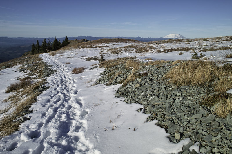
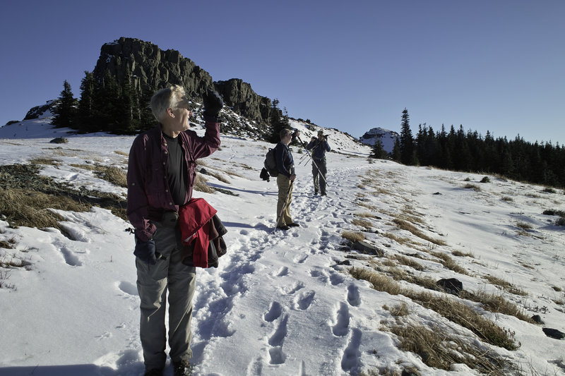
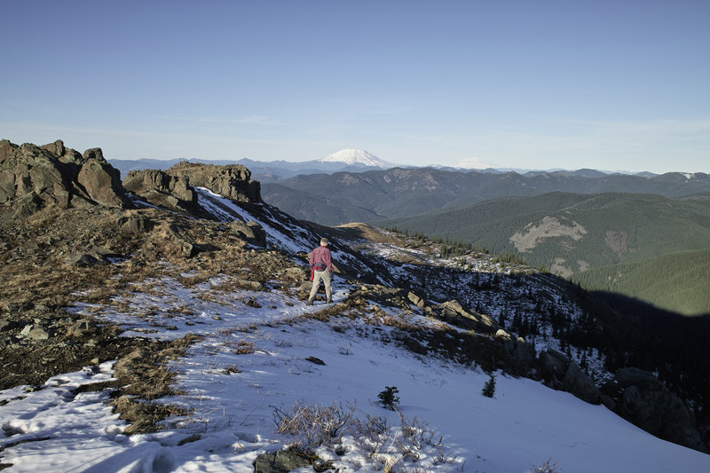
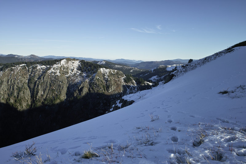
Tarbell descends pretty quickly to Grouse Vista trailhead. Then, of course, it's back up that steep hill towards silver star. EP bolted up towards the top, but we soon caught up (only because he stopped for us, of course). The snow started around 3000' and was a little squishy, but not too bad. We took a quick break for water at the dog washing barrels, and then made it on over to Sturgeon Rock. Brad, Don and EP went to the top, and then we headed back over towards Silver Star.
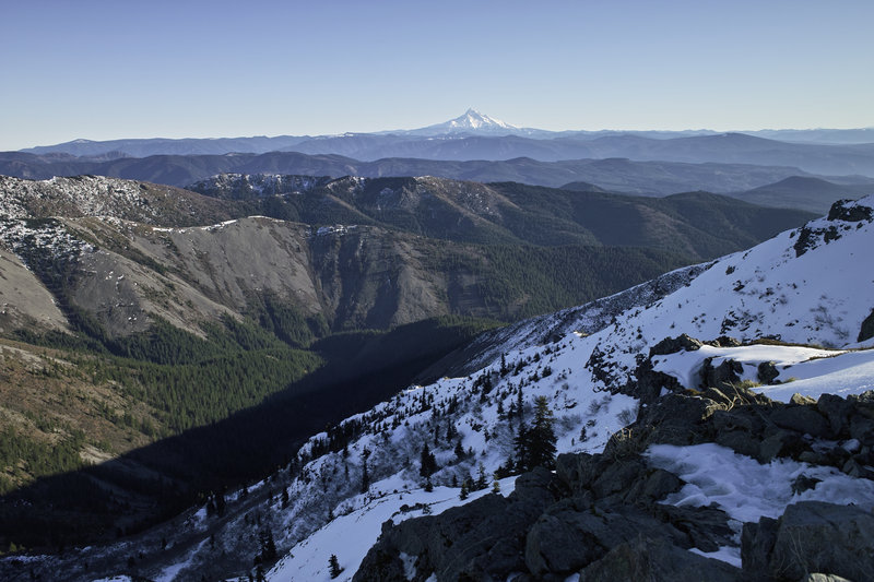
We were met with a busload of kids running down the final trail section. Since the 20+ kids had left the top, there were only two other people up there, and the views were great. At the top it was practically balmy—it felt like 60º, at least. We took a quick break and then headed back down the hill, towards Chinook, and then on an old jeep road.
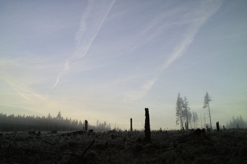
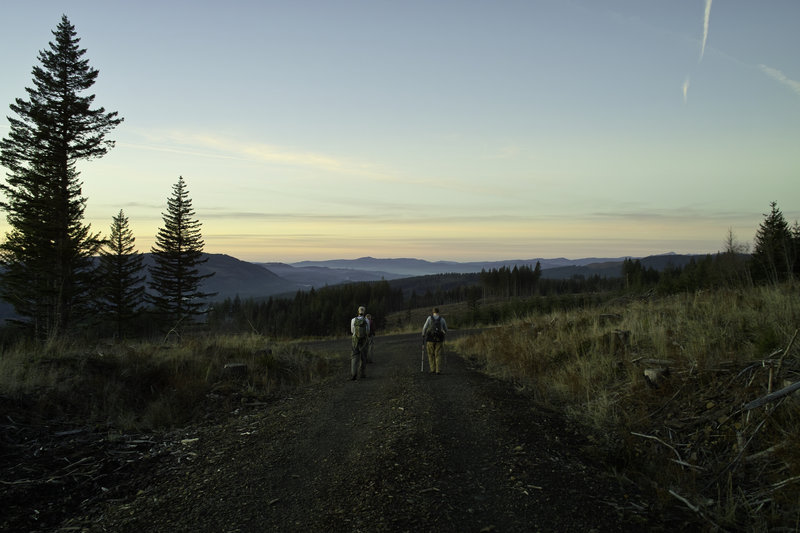
Since the road didn't meet up with the trail (or so we thought), DN took us on a quick bushwhack through a clear cut, back down to Tarbell. Tarbell winds up and down a ridge for a while (Klochmann Butte?) and then heads down to Tarbell Trailhead, but we opted to take an old road, down to some other logging roads to save a mile or so.
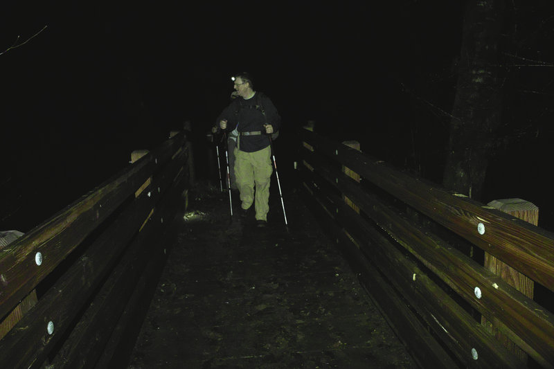
The final mile or two was in the dark, and we were eagerly anticipating the crossing of Rock Creek, but someone had decided to build a bridge over it, so we missed out on all the fun.
The car was still there at the end—no bullet holes or flat tires!

Eric Peterson
December 18, 2011
Nice meeting you Chris, my newest TFF!! Was probably one of my favorite hikes to date, in the top 3 for sure! :)