

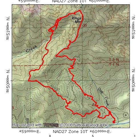
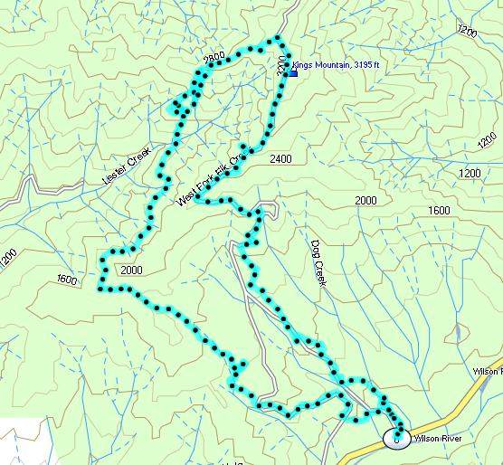
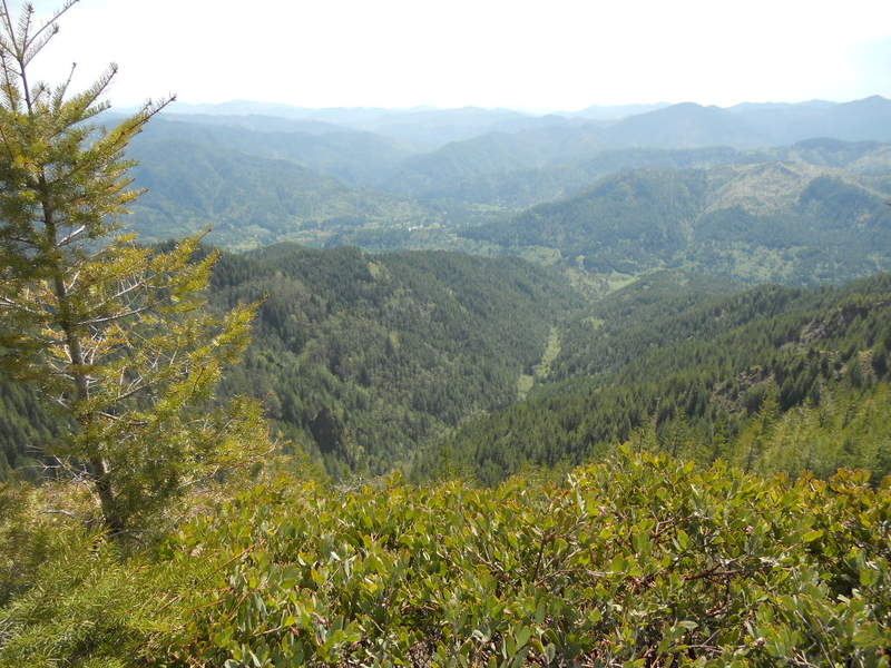
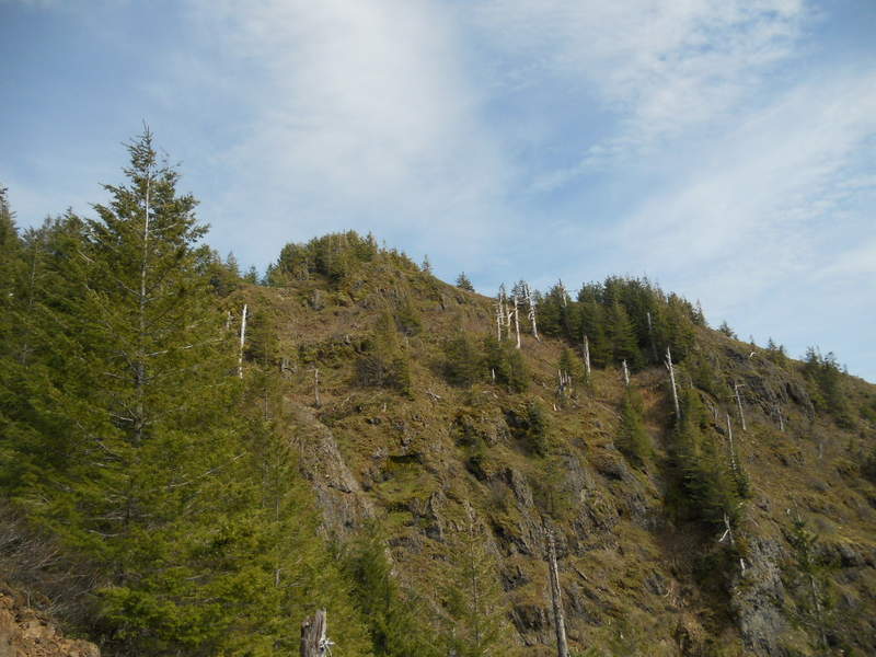
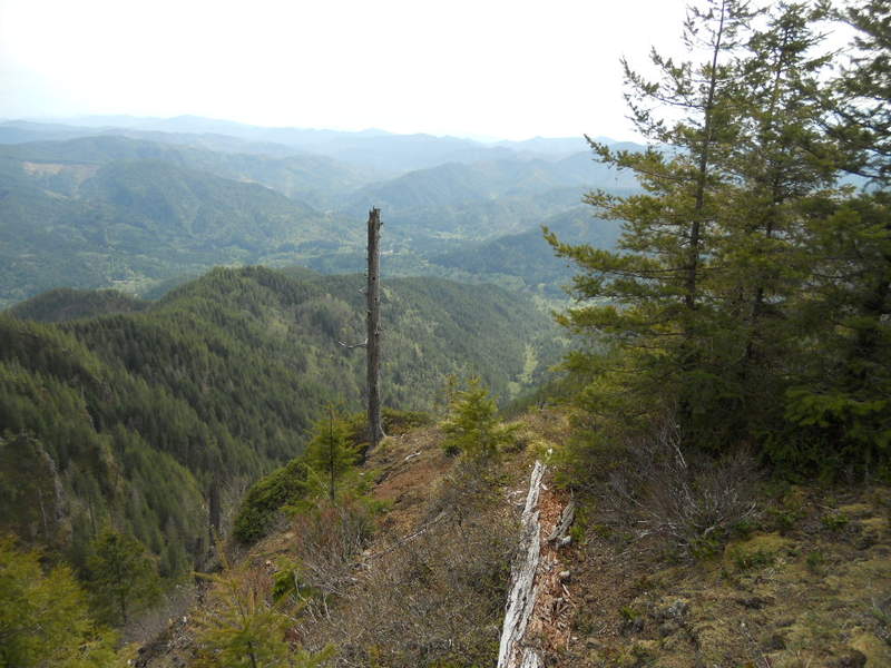
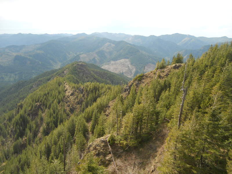
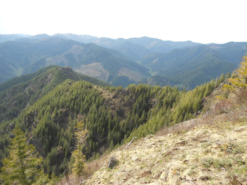
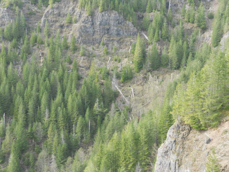
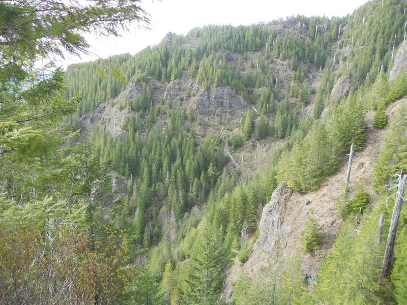
6 miles of hiking • 3000' elevation gain •
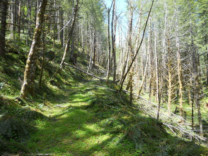
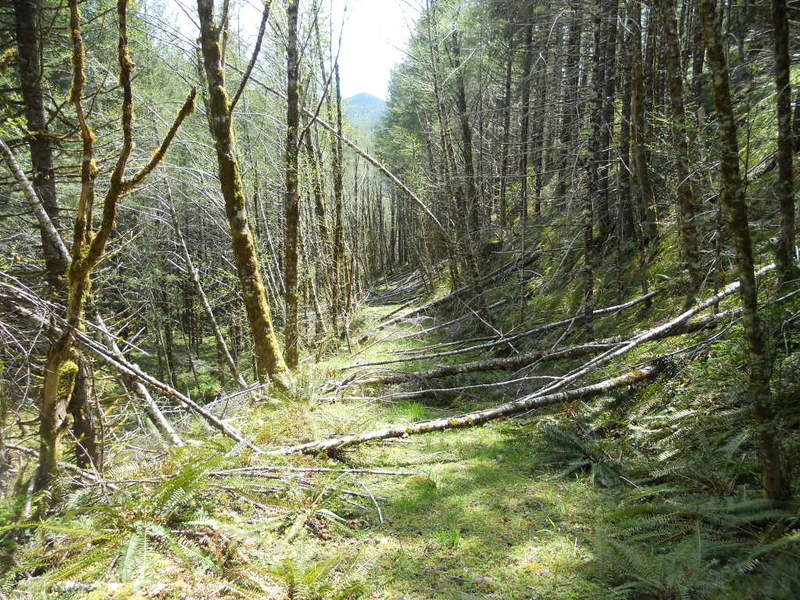
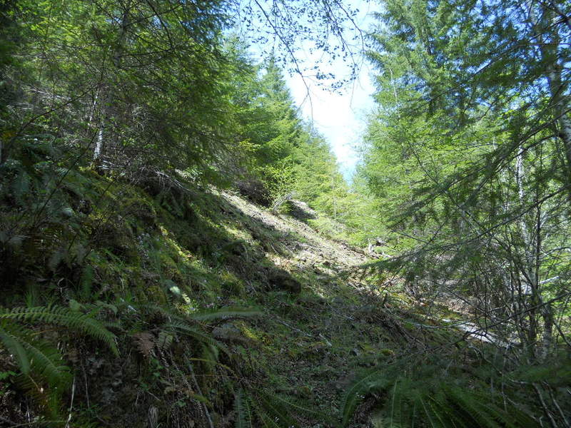
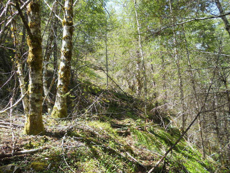
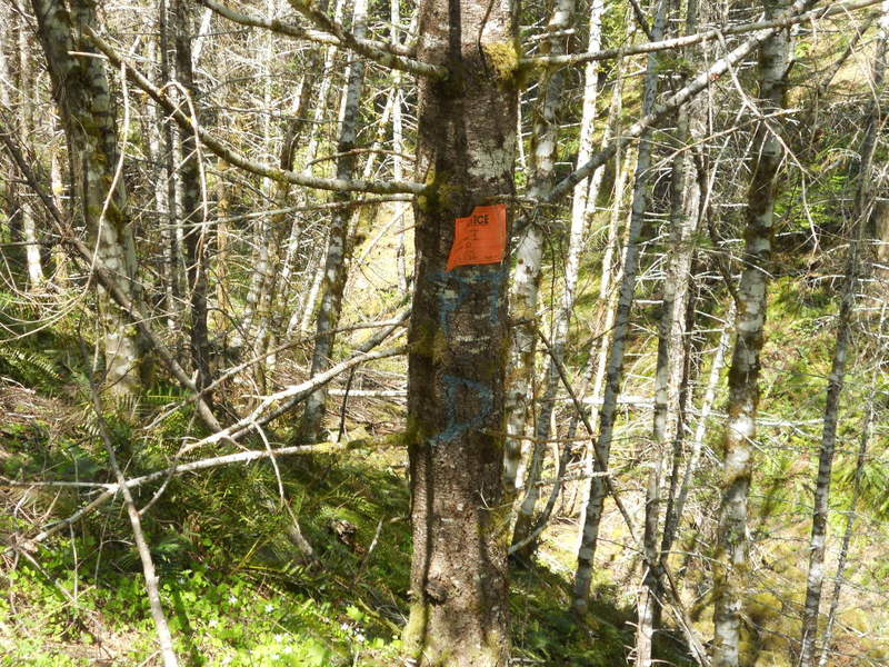
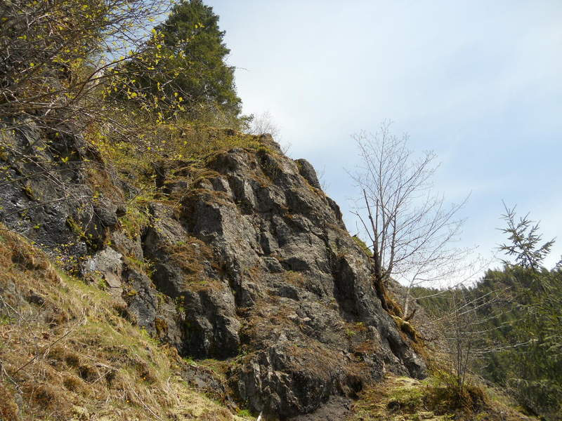
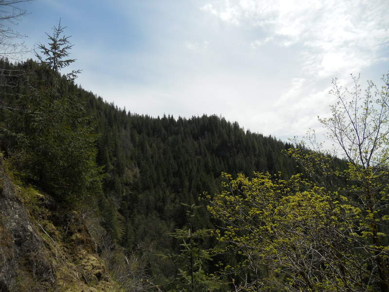
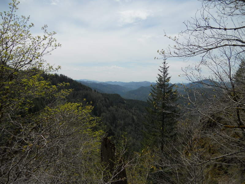
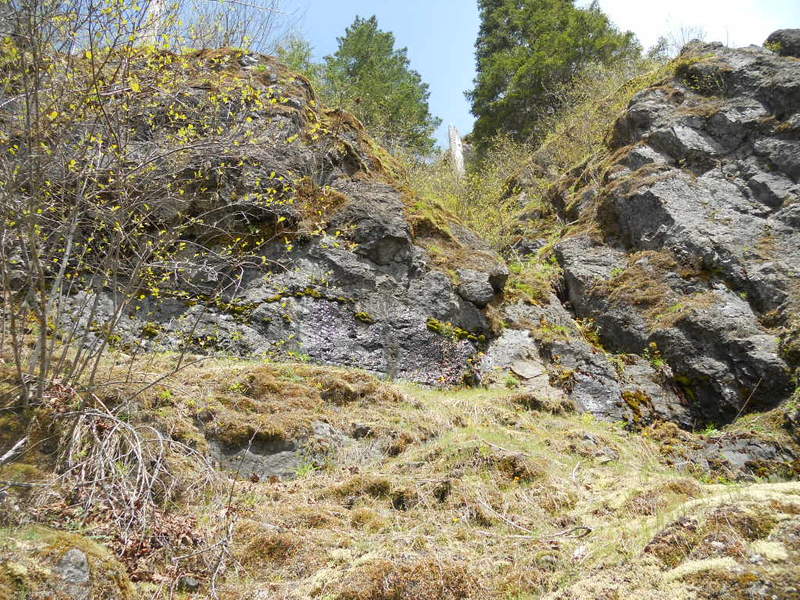
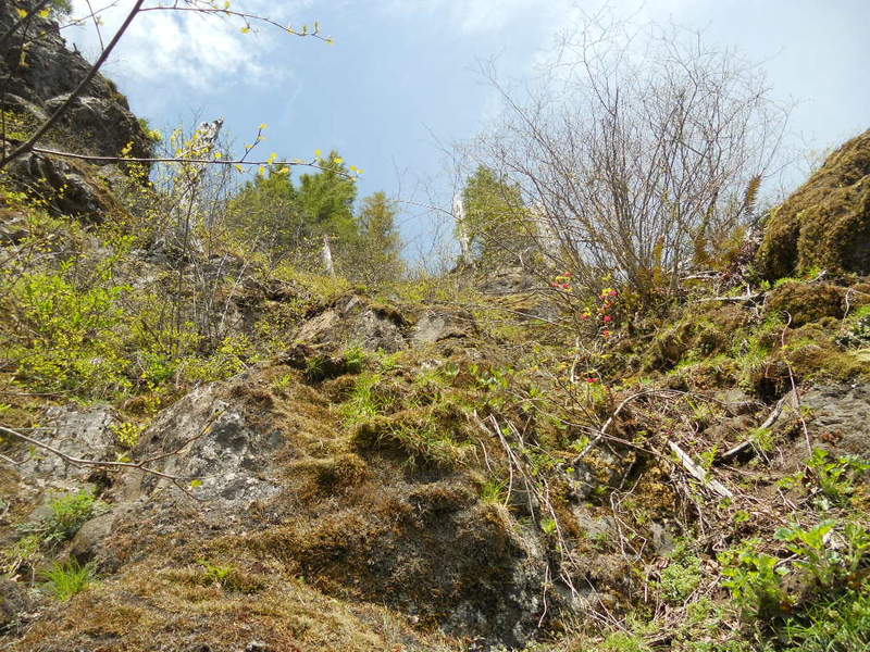
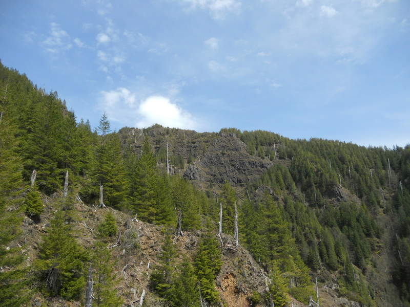
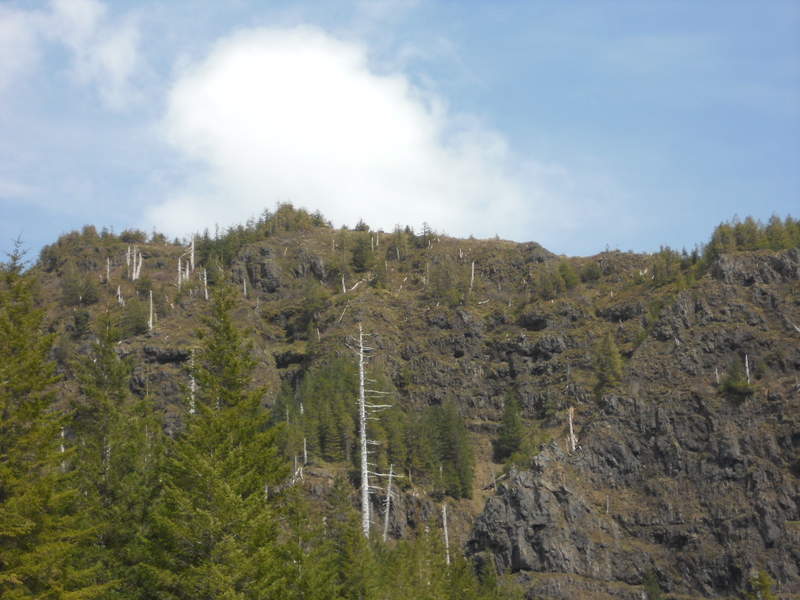
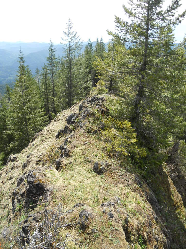
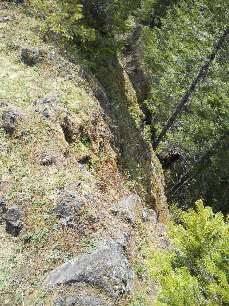
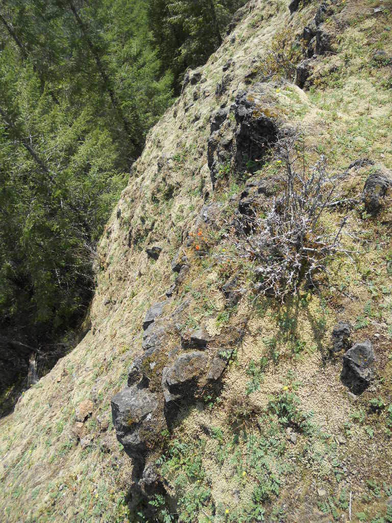
Did West Ridge of Kings MT. Scramble harder than any of the areas other off trail scrambles, but has the most views. Also tracked Kings JR, but still was off a bit, but have a really good idea now of how to do Kings JR loop correctly. Will make a more in depth trip report on PDX Hikers, but added captions to all the pictures that I uploaded here. :)


Comments

Chris
May 20, 2011
This looks like a lot of fun. Isn't there also a very steep trail on the west side, where all your squiggly lines are? Here's the Mazama map section. It's above lester creek:
<a href="http://s873.photobucket.com/albums/ab294/arundodonax1/?action=view&current=Elk-Kings.jpg" target="_blank"><img src="http://i873.photobucket.com/albums/ab294/arundodonax1/Elk-Kings.jpg" border="0" alt="Photobucket"></a>
Chris
May 20, 2011
Well clearly that didn't work. Let's try again:
<IMG SRC="http://i873.photobucket.com/albums/ab294/arundodonax1/Elk-Kings.jpg">
Chris
May 20, 2011
Okay, maybe just try clicking the link.
Chris
May 20, 2011
And by clicking I mean copy and paste.

Eric Peterson
May 20, 2011
Yeah the West Ridge, but it's just game trails at best, like the other Mazama ridge hikes in the area. I started the west ridge right at Lester Creek from the Wilson Rover Trail and it worked itself out following hoof tracks and poop piles... :)
Chris
May 20, 2011
>>it worked itself out following hoof tracks and poop piles
I know those Mazamas take big groups, but that's pretty harsh.
Eric Peterson
May 20, 2011
hheh, I wish it was a trail, wouldn't have taken me 4 hours or so to get up there, but I was cliffing out here and there and stopped to take pictures along the way...
Justin Wright
May 20, 2011
Looks like an awesome hike!
Eric Peterson
November 29, 2011
Thanks JJ!
BTW, dude? What happen to you? :) Did you move back east?
Justin Wright
November 30, 2011
Nope, I'm still here :)
Just got distracted the past few months with other sports. One of these days I'll get back out on the trails.
Jim aka Crusak
May 20, 2011
WOW great work! That looks like a tough scramble. Hopefully I will be up for that kind of exploring before season's end.