Map
Join the community
Log in
Welcome Back!
No Account?
Email
*
Password
*
Forgot password?
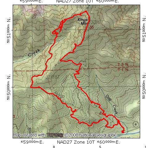
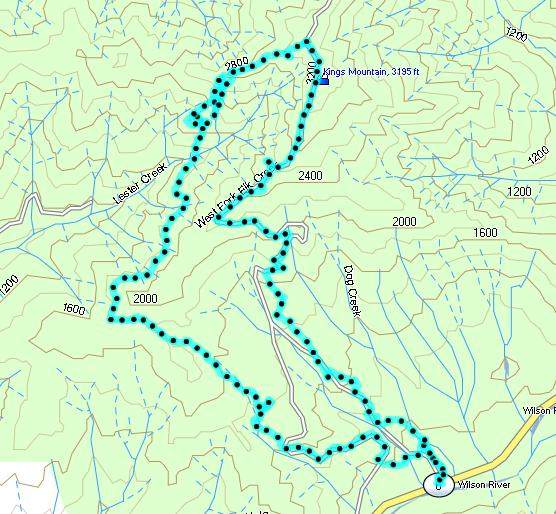
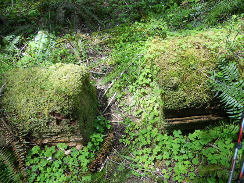
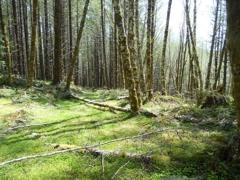
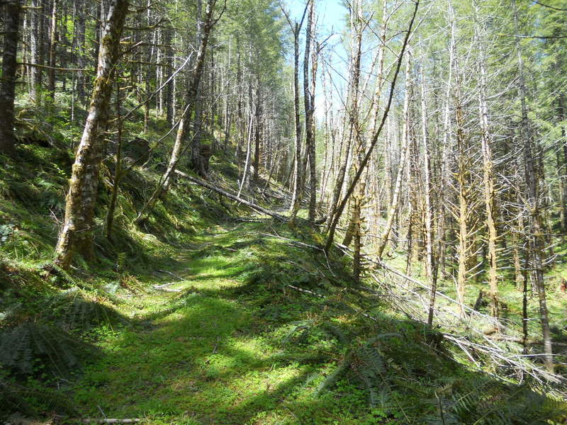
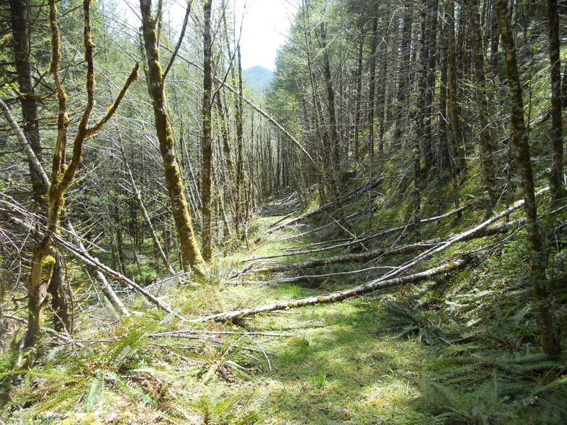
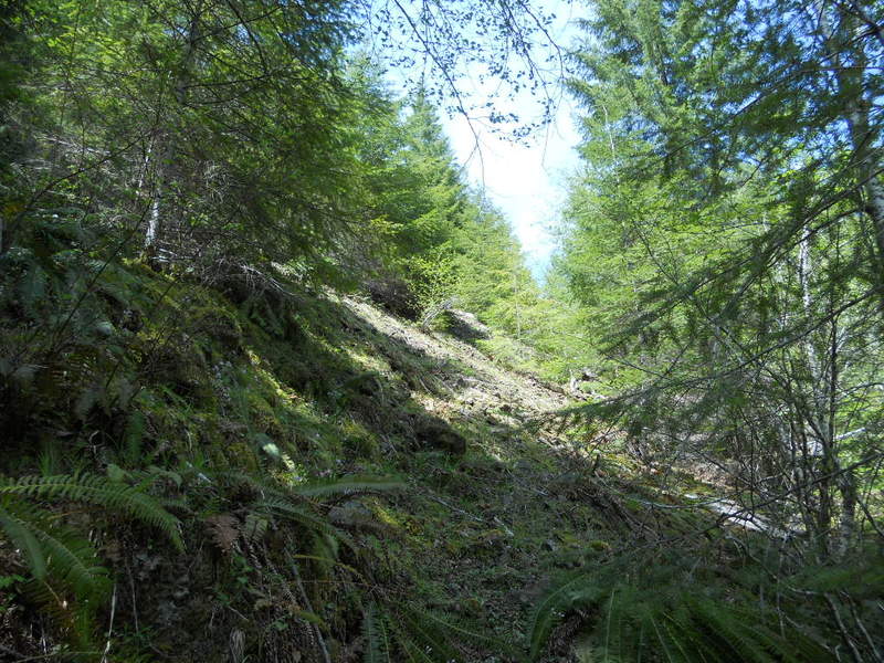
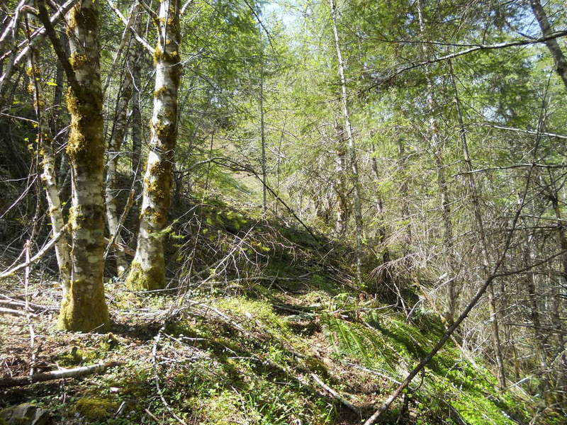
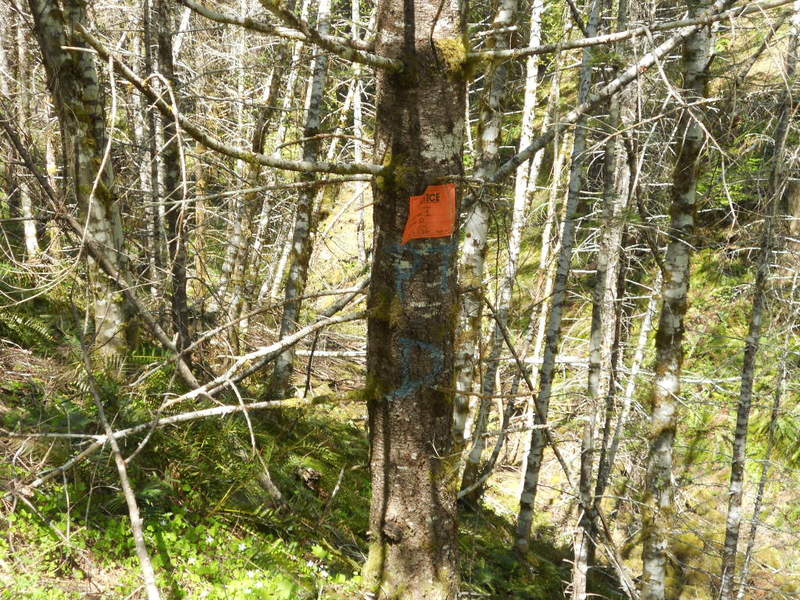
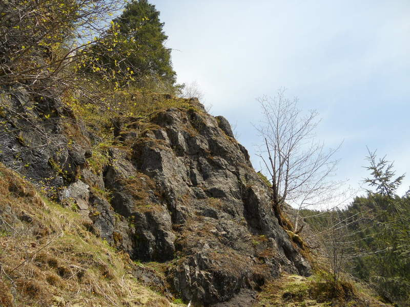
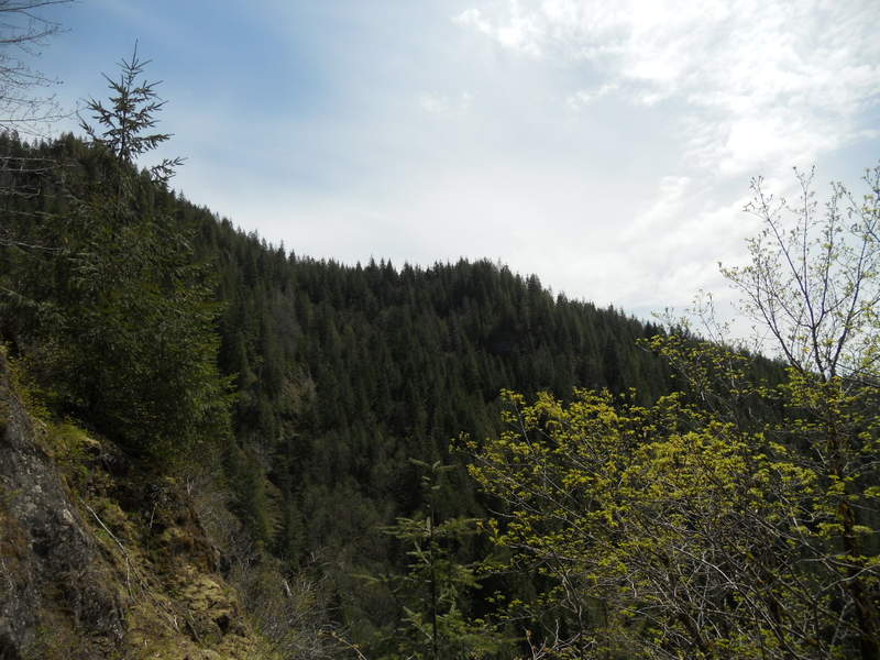
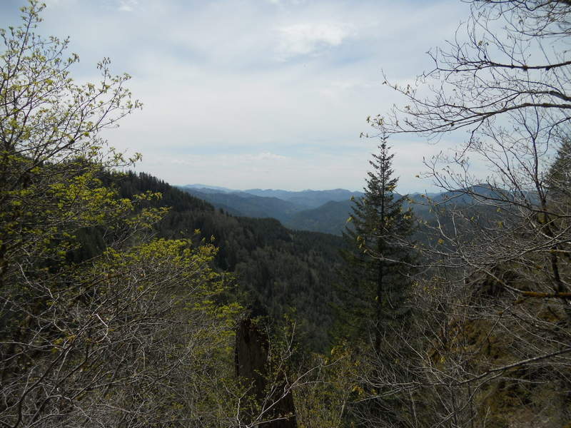
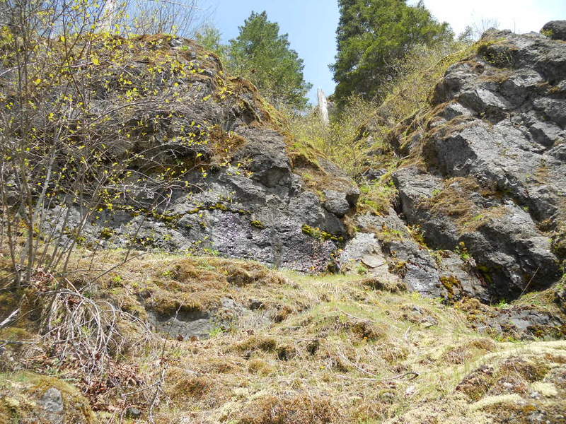
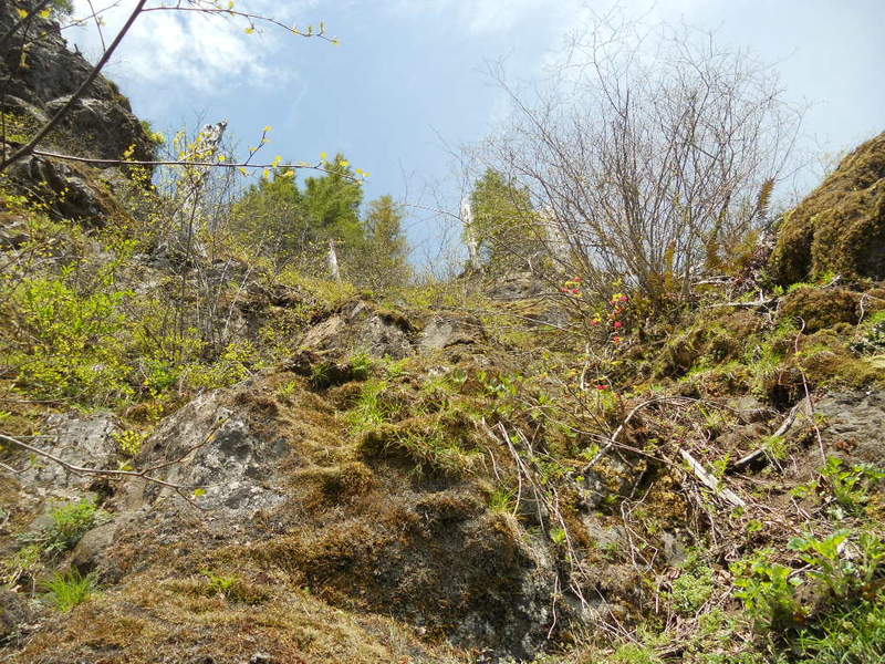
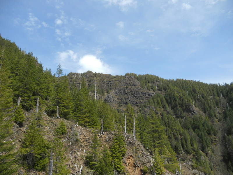
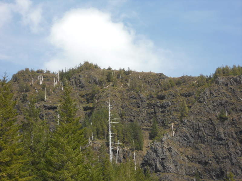
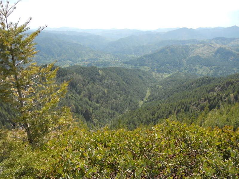
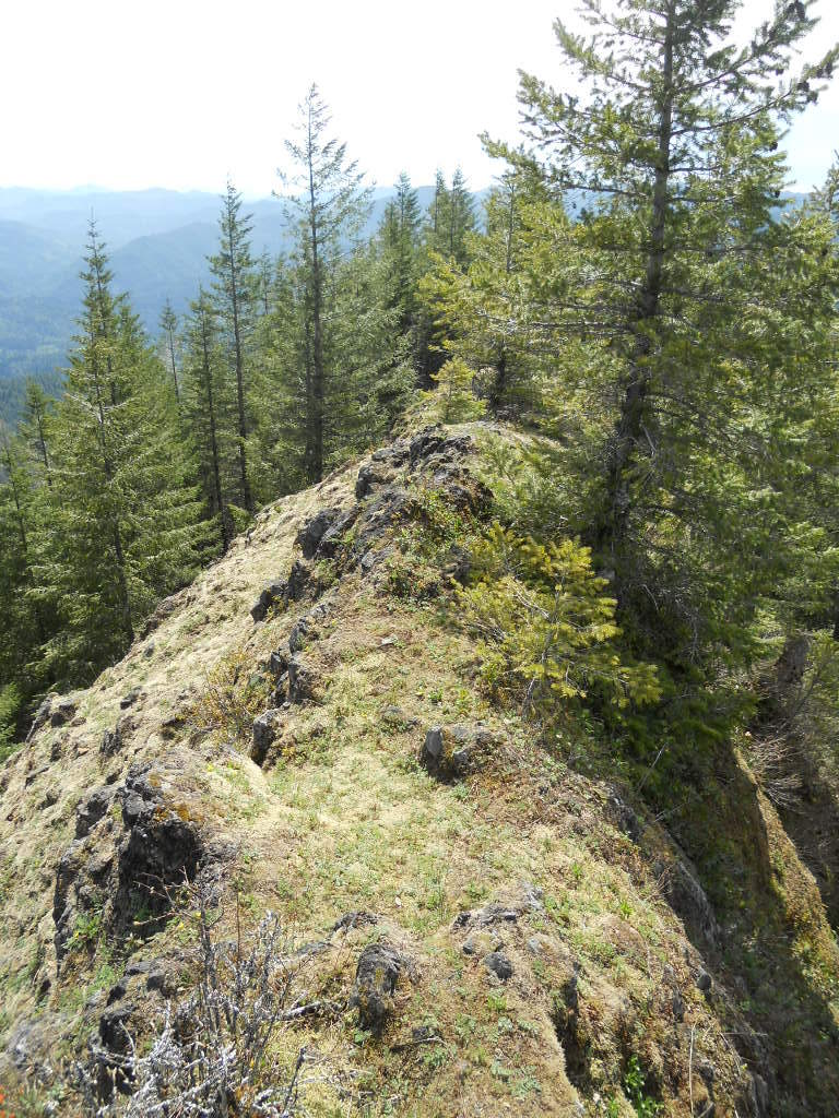
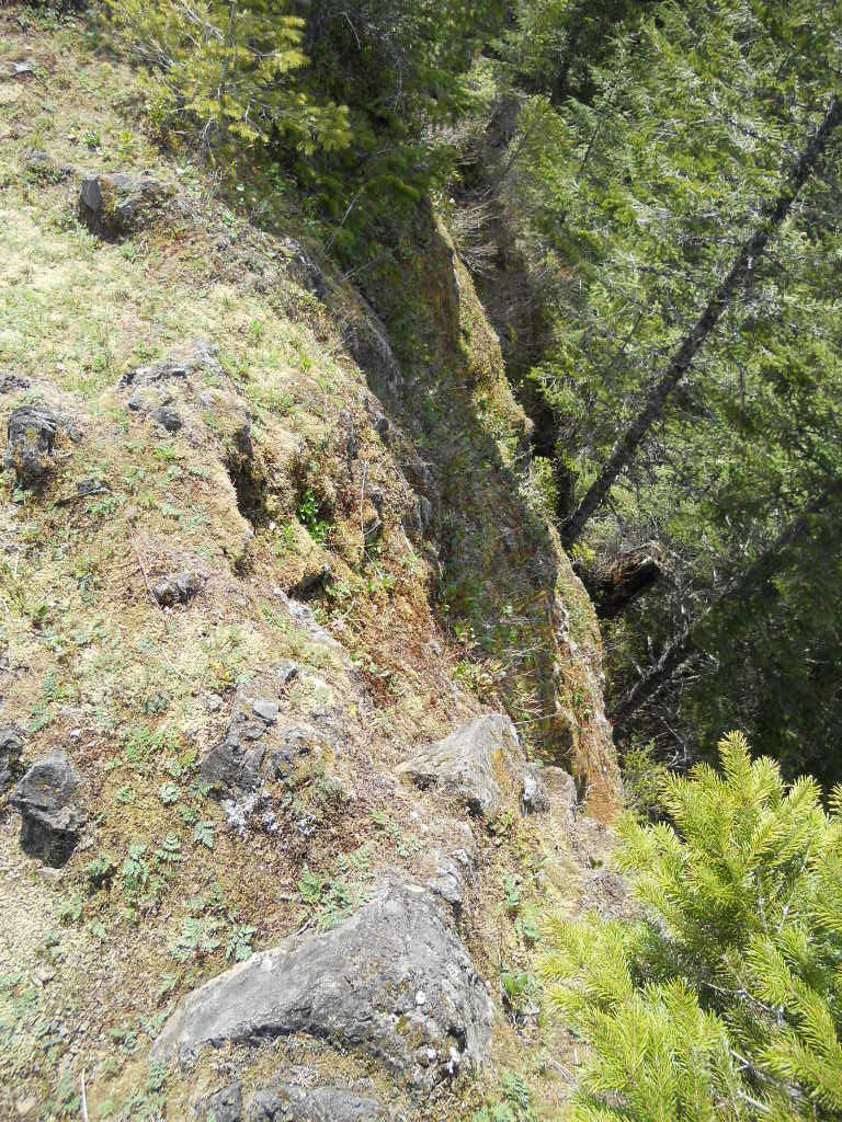
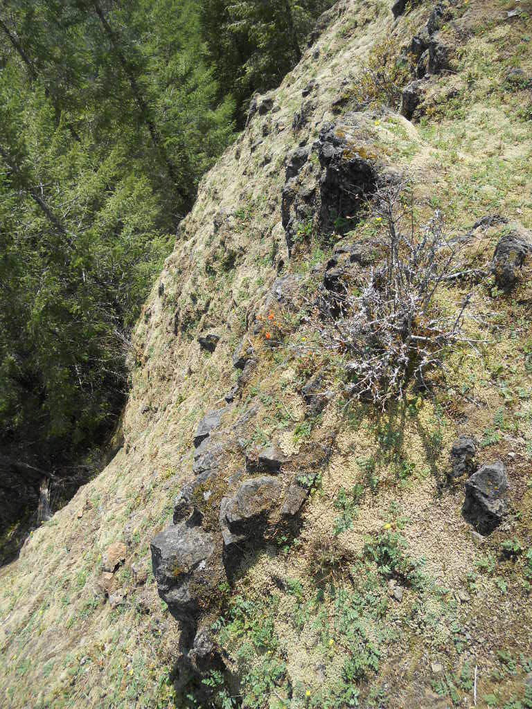
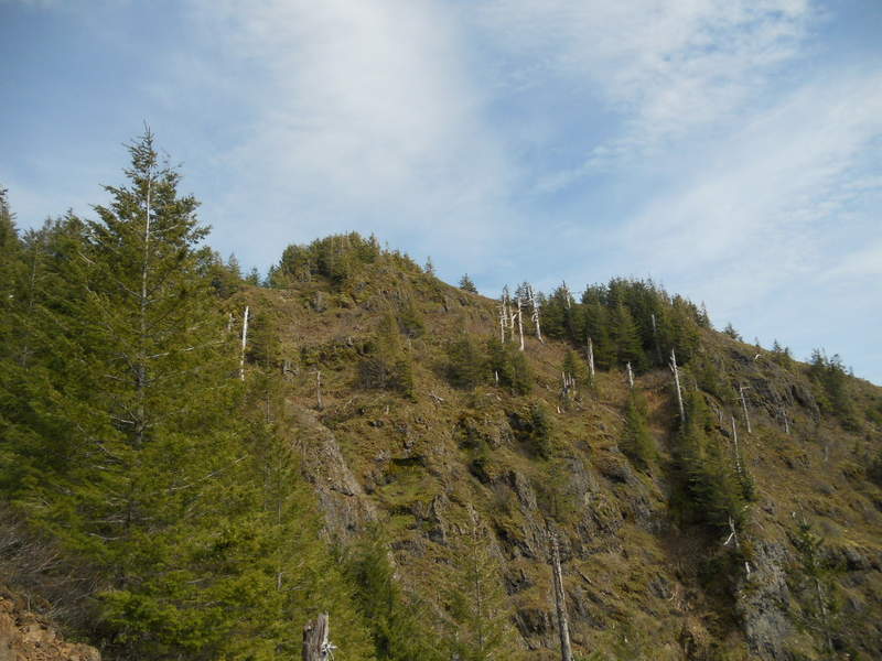
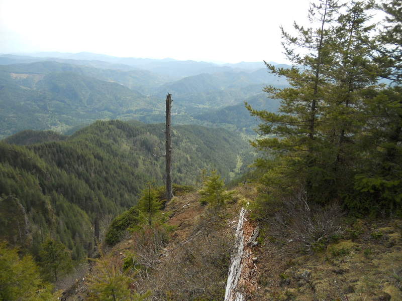
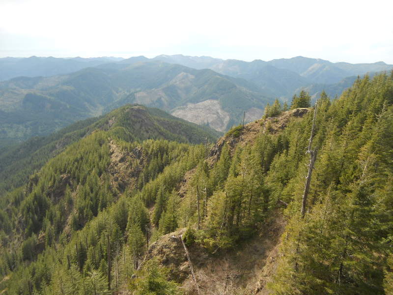
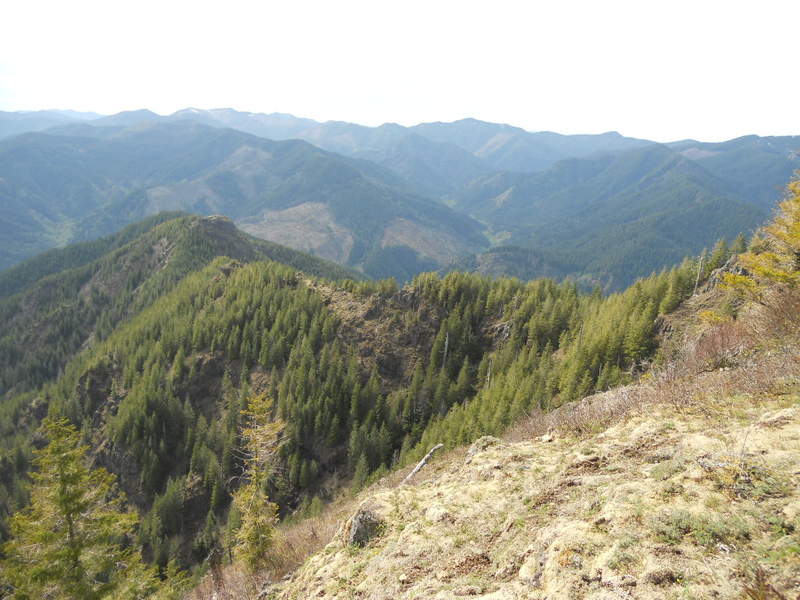
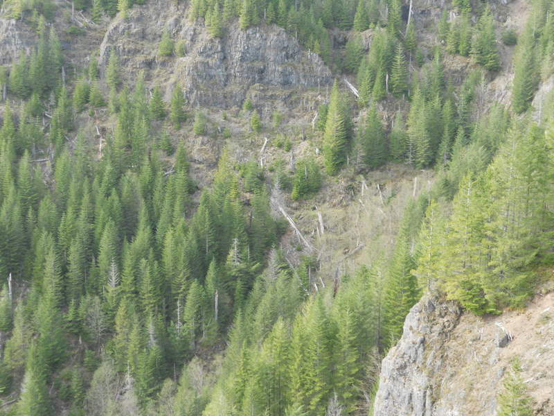
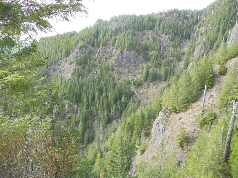
« Back to West Ridge Kings Mt and completed Kings Jr Loop finally as well on the way up....
Photos from “West Ridge Kings Mt and completed Kings Jr Loop finally as well on the way up....”