2015 Trips

 1
1
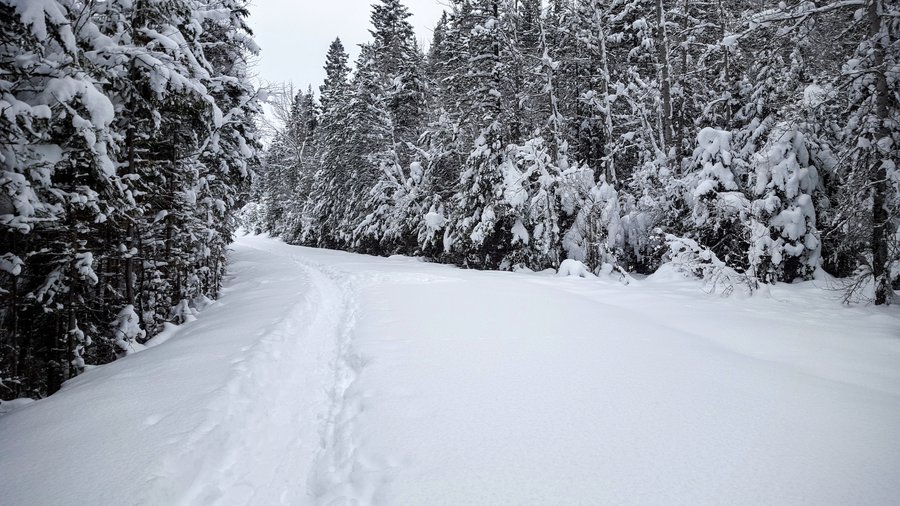
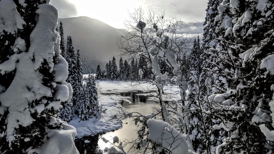
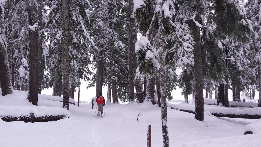
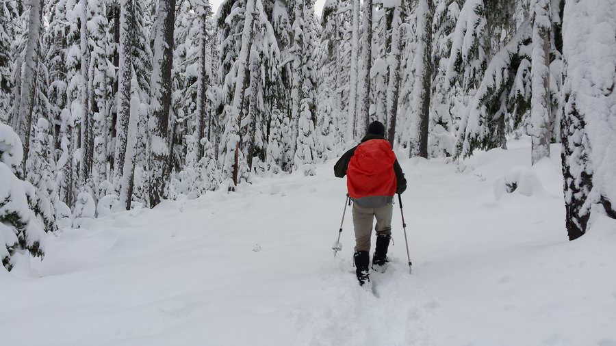
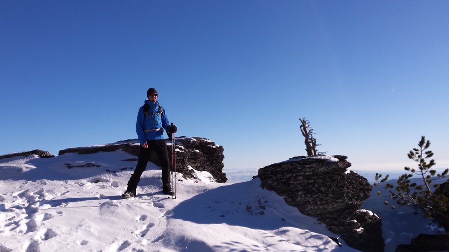
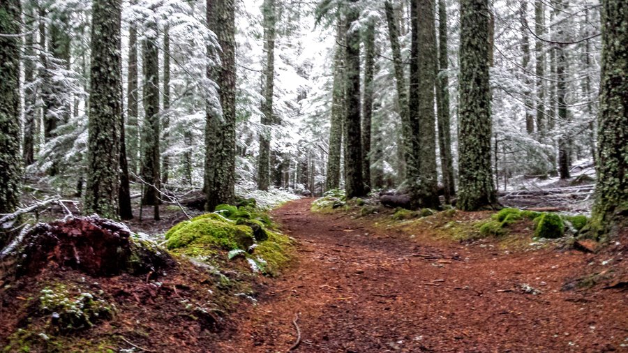
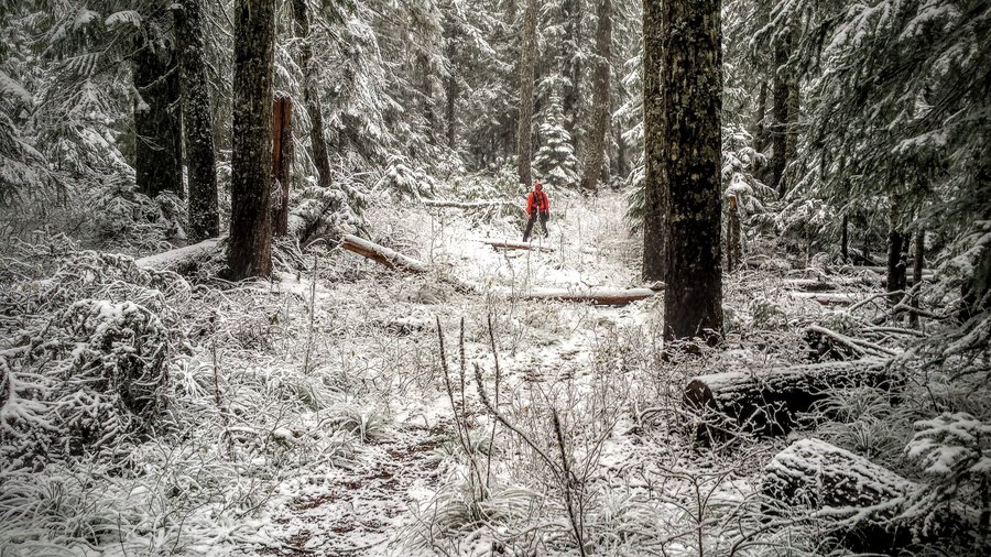
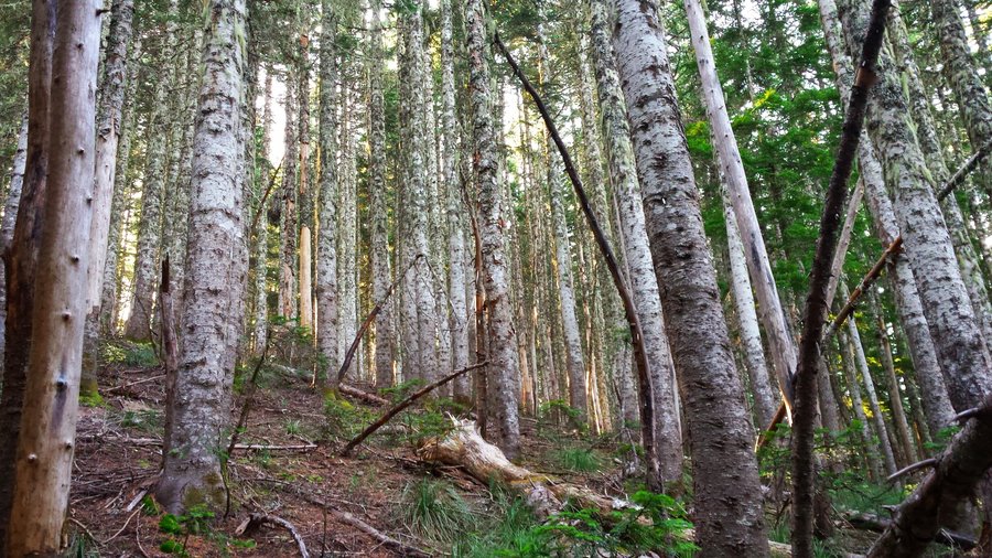
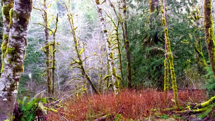
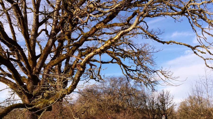
Bear Creek Rd to Patterson Ck Trail
5 miles of hiking • 1000' elevation gain •
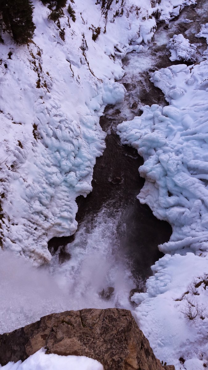
Easy snowshoe into the edge of Flathead Nat'l Forest along a forest service road. Lots of animal tracks, including cougar and lynx. Snow was about 15-18" deep, fluffy powder.

December 30, 2015


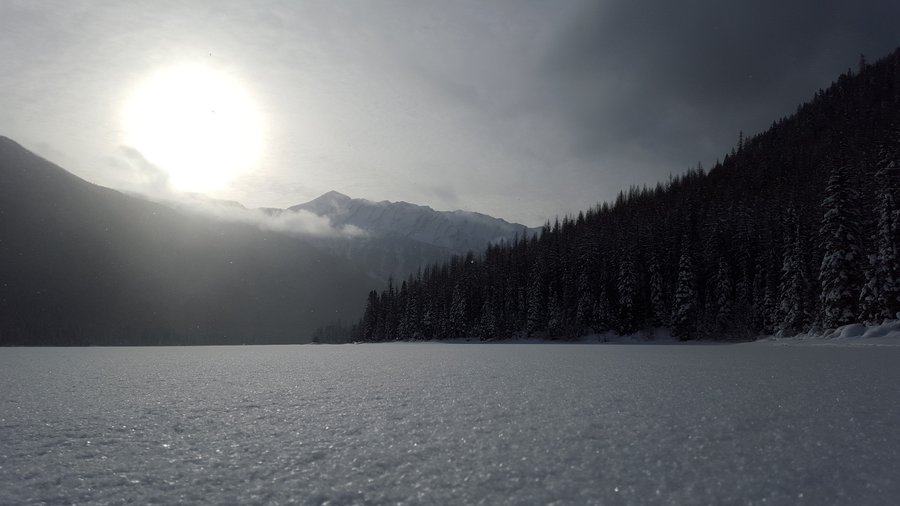
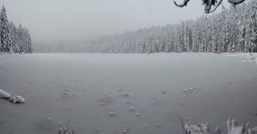
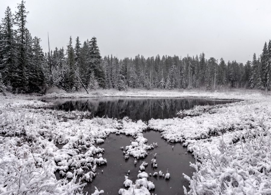
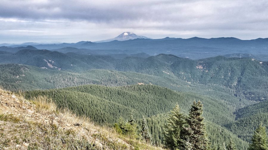
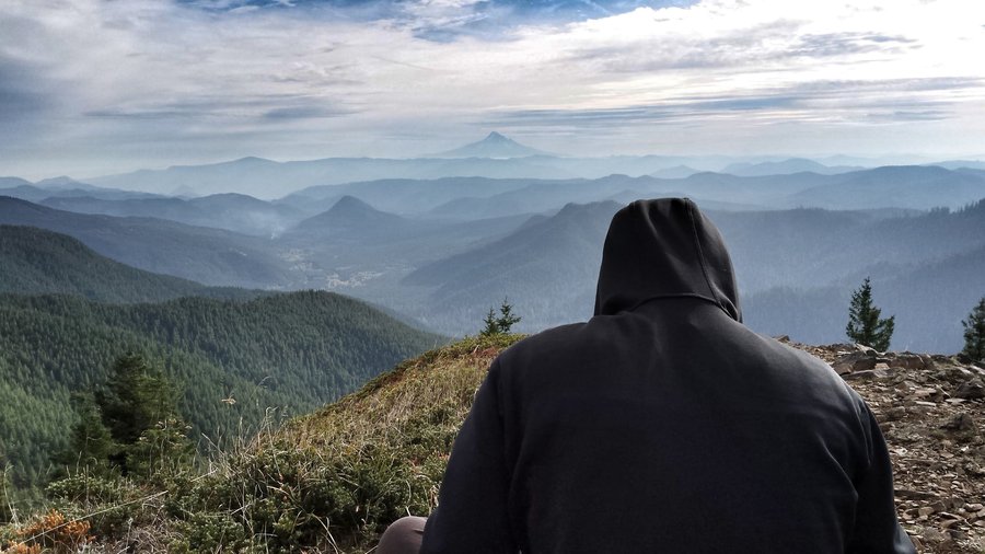
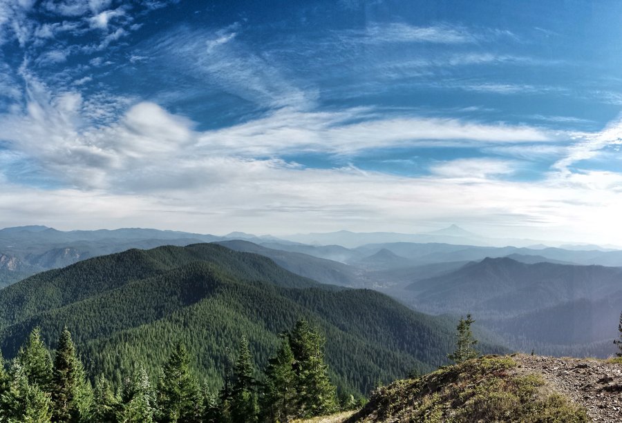
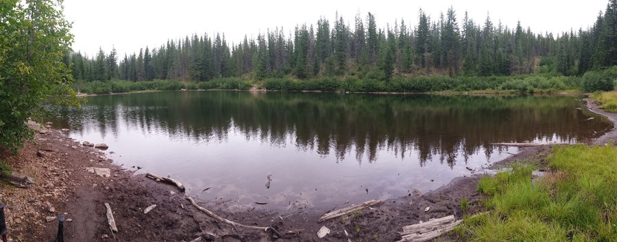
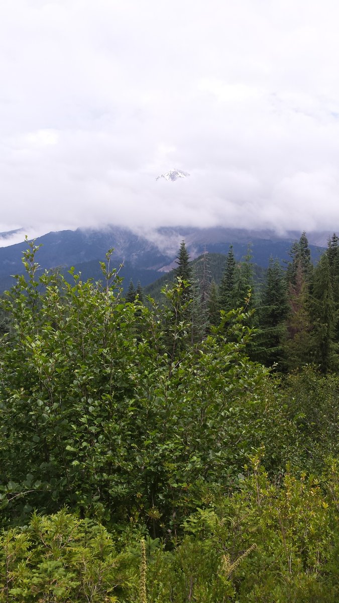
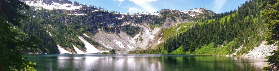
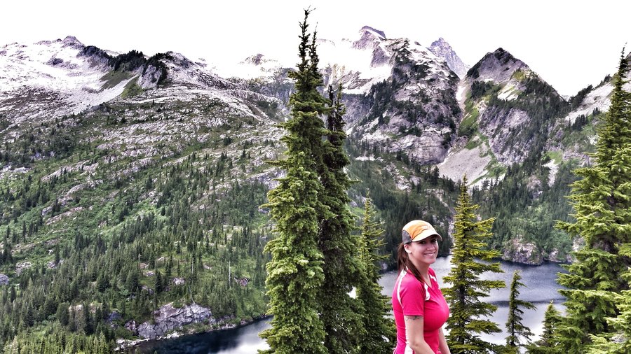
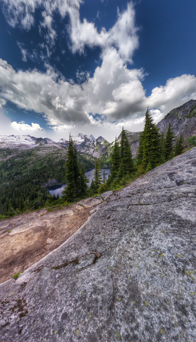
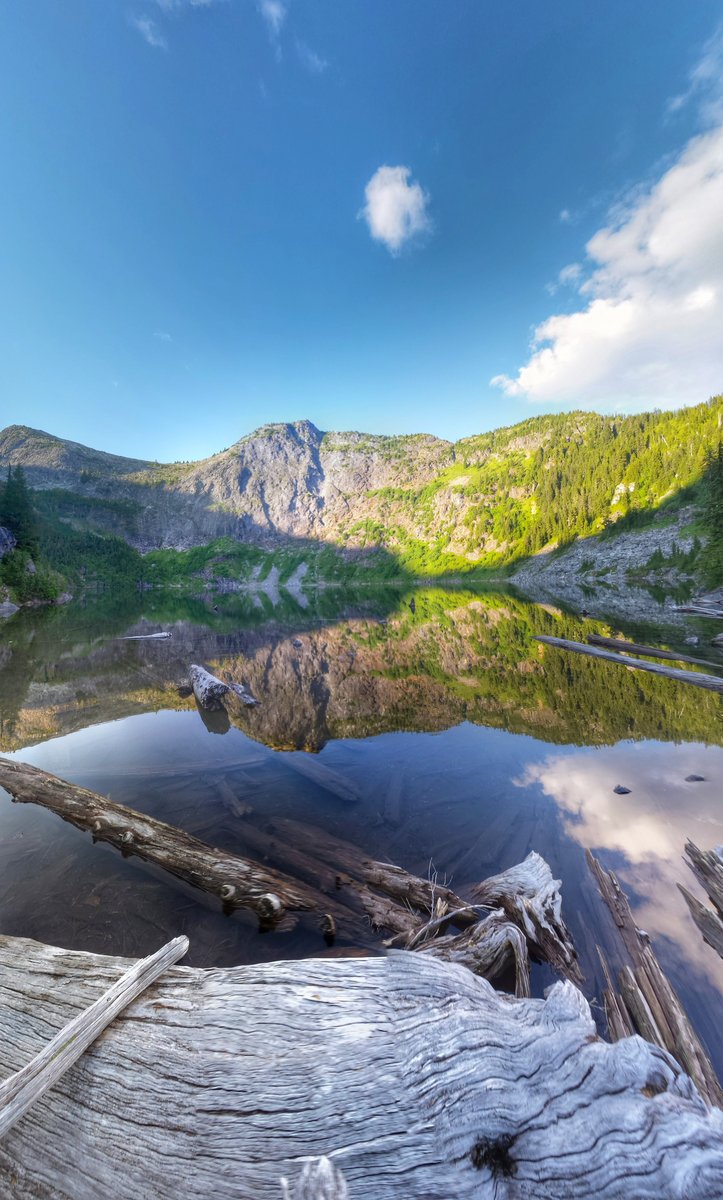
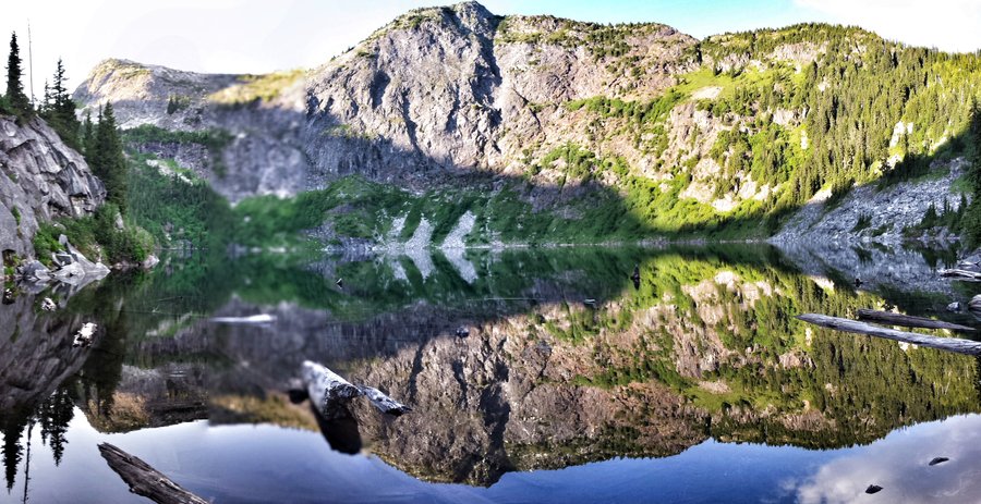
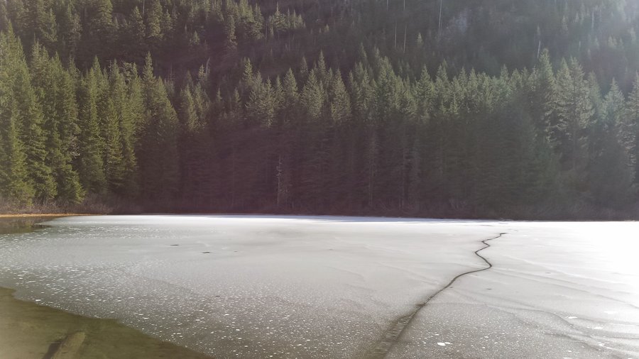
Stanton Lake
3 miles of hiking • 1000' elevation gain •
Bang for the buck on this hike was off the charts! Only a couple steep sections and you are rewarded with awesome lake scenery and big peaks in the distance. Lake was totally frozen, not another soul in sight.
December 30, 2015

December 28, 2015

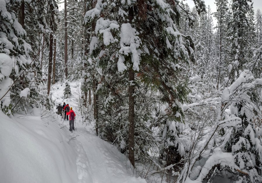
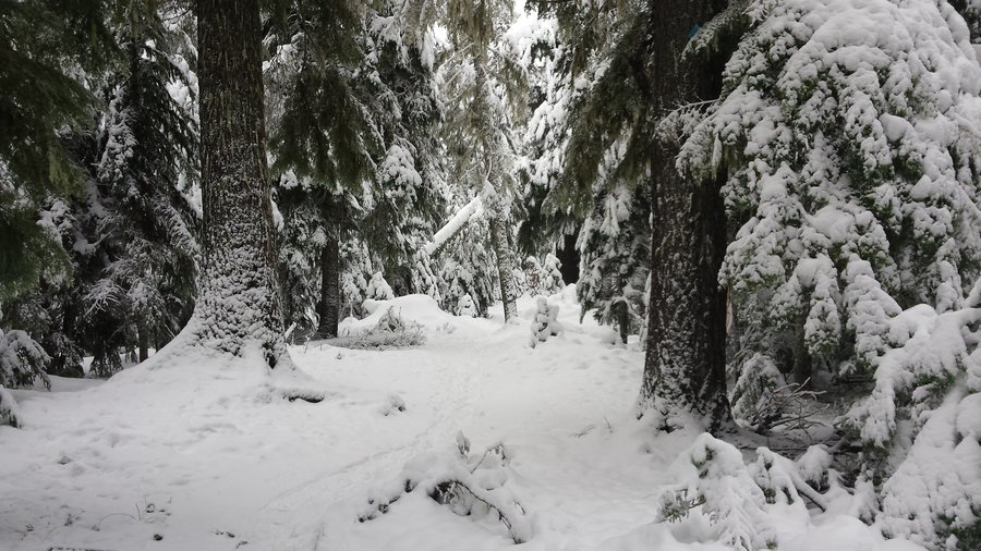
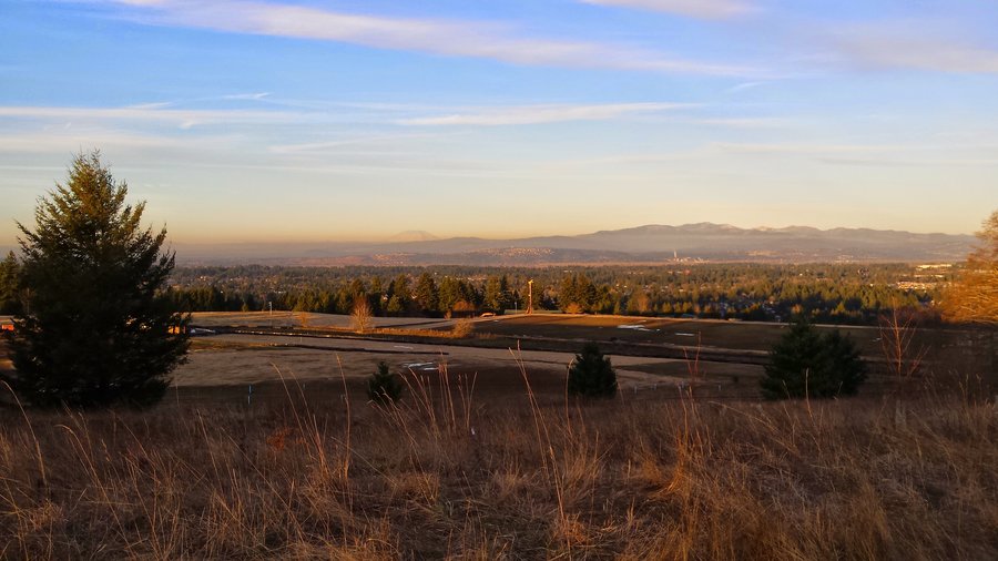
Gov't Camp snowshoe (crosstown trail)
5.5 miles of hiking • 1000' elevation gain •
Sunday jaunt around the trails behind Gov't Camp. Always enjoyable, no views, but the nice snow. Lots of other skiiers/snowshoers too.
December 20, 2015
 1
1
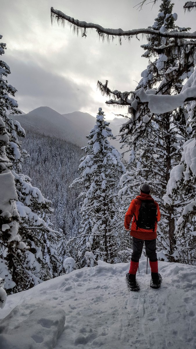
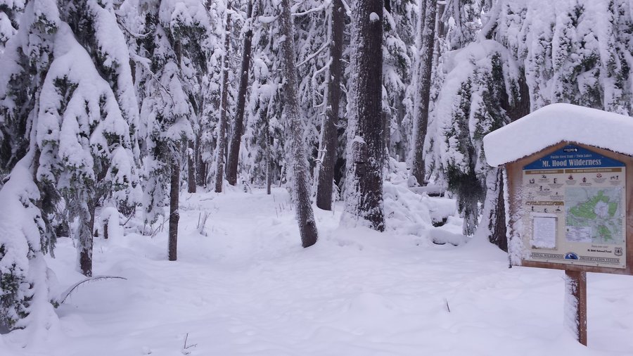
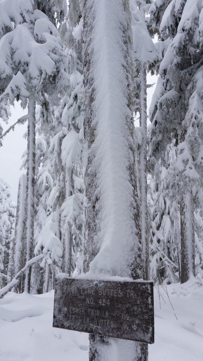
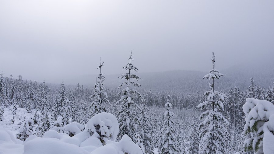
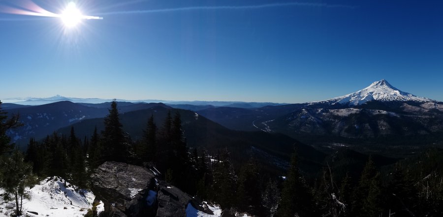
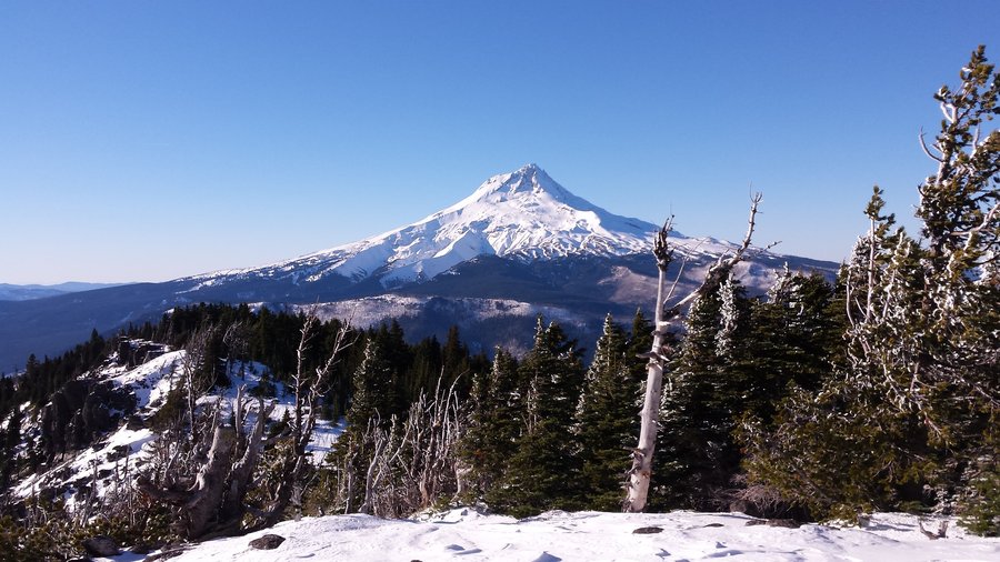
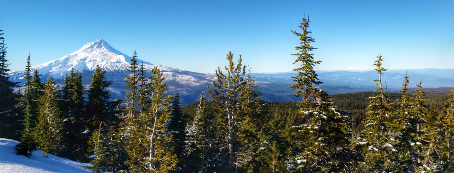
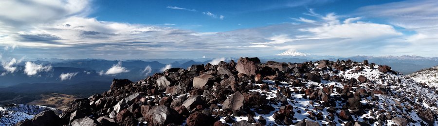
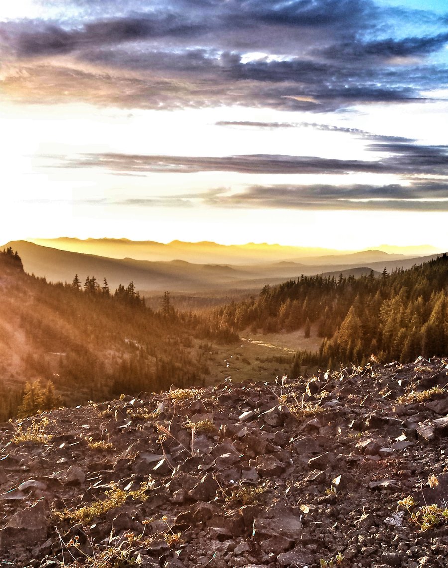
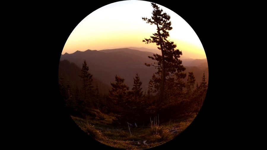
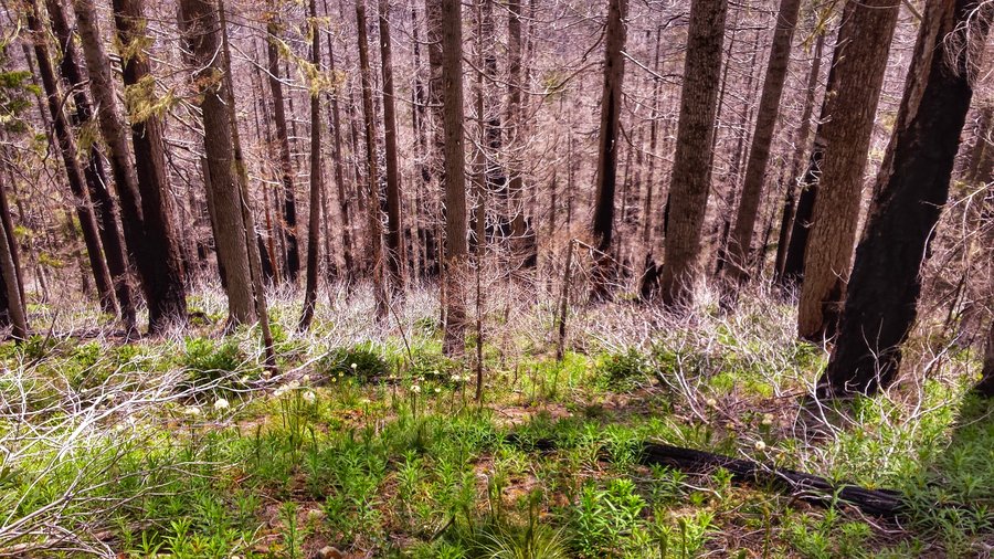
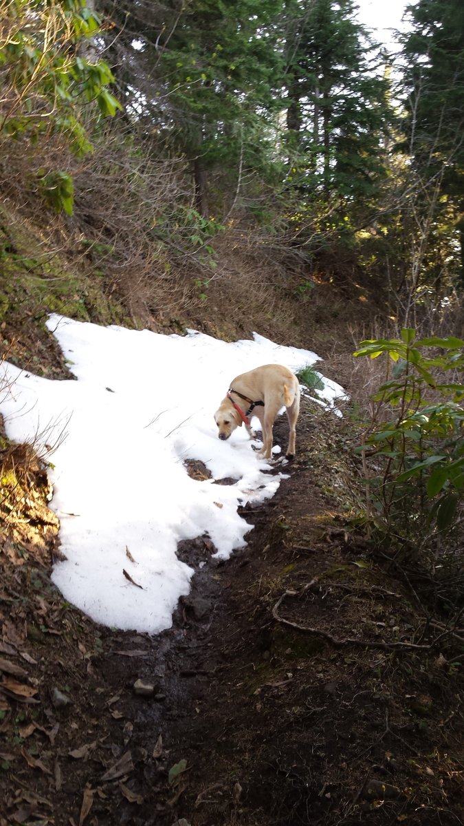
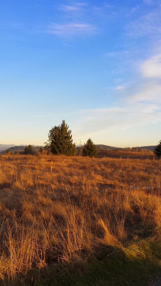
Frog Lakes Buttes (fail)
5.5 miles of hiking • 1500' elevation gain •
Didn't make it to the top. The snow was so deep, probably only 0.5 mph pace on the way up. Huge powder.
December 14, 2015

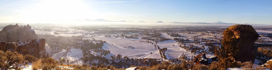
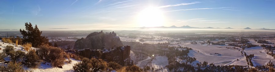
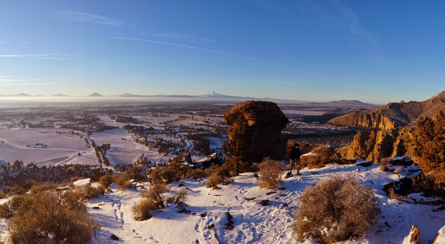
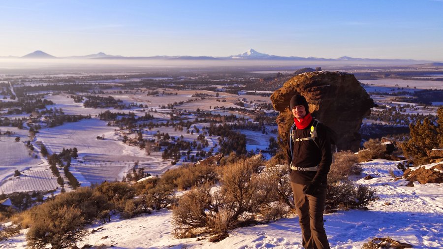
.jpg)
 1
1
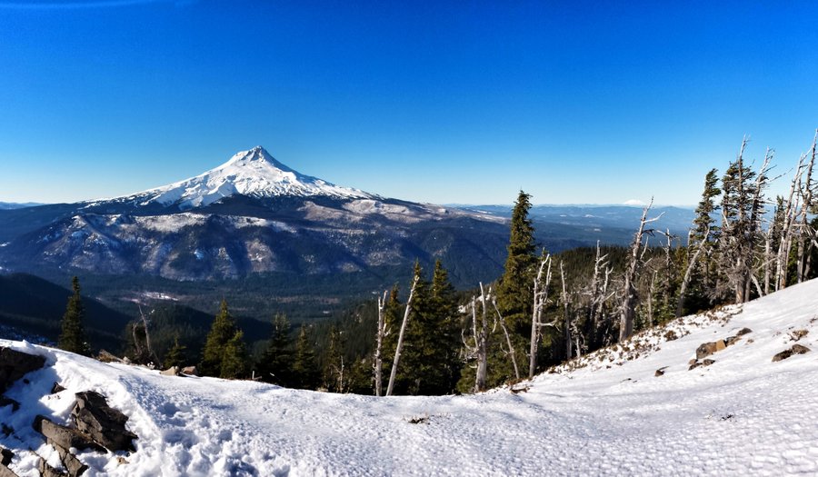
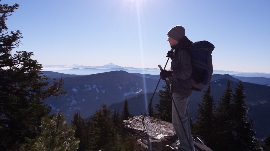
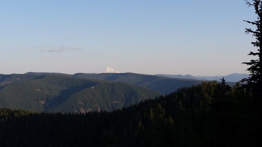
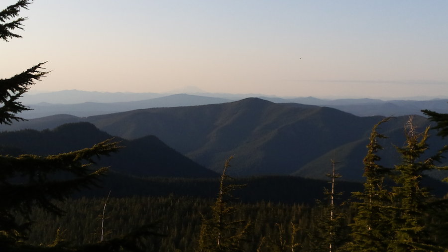
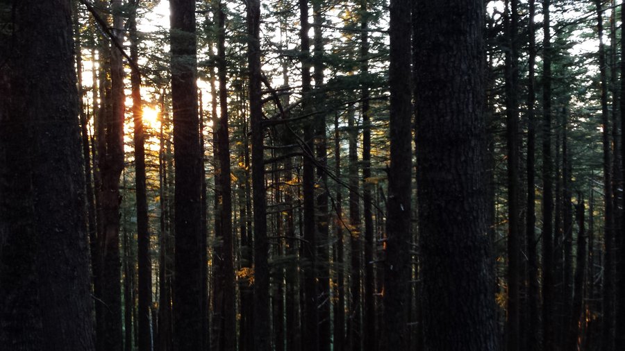
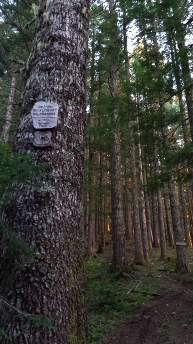
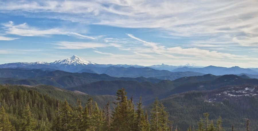
Lookout Mtn (Badger Creek Wilderness) via Gumjuwac Trail
10 miles of hiking • 3250' elevation gain •
Hike w/ Roman...see TR
http://www.oregonhikers.org/forum/viewtopic.php?f=8&t=23001
November 27, 2015

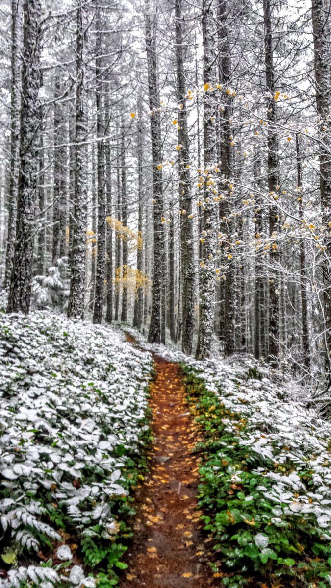
Pioneer Bridle Trail to Enid Lake
10.5 miles of hiking • 1750' elevation gain •
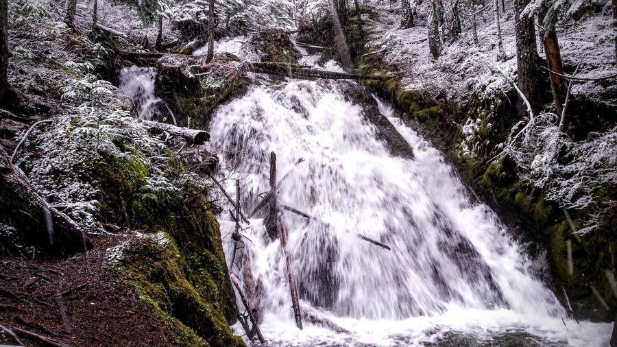
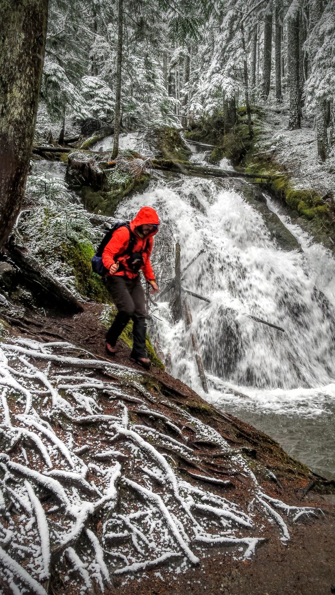
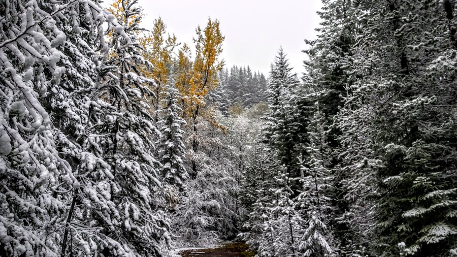
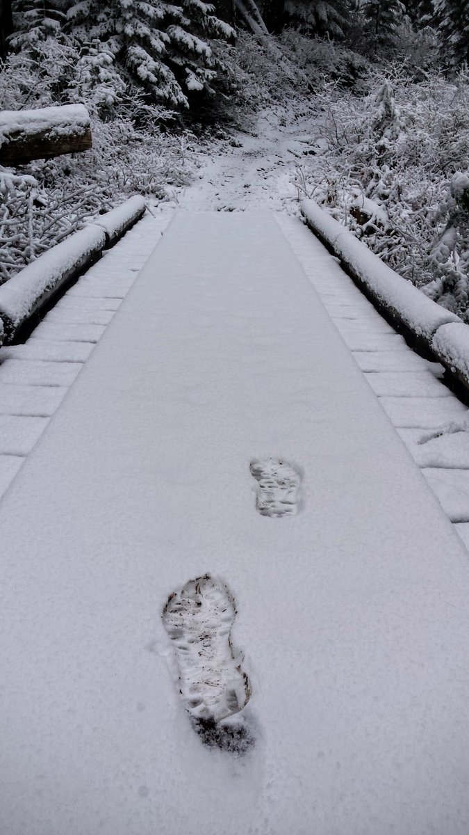
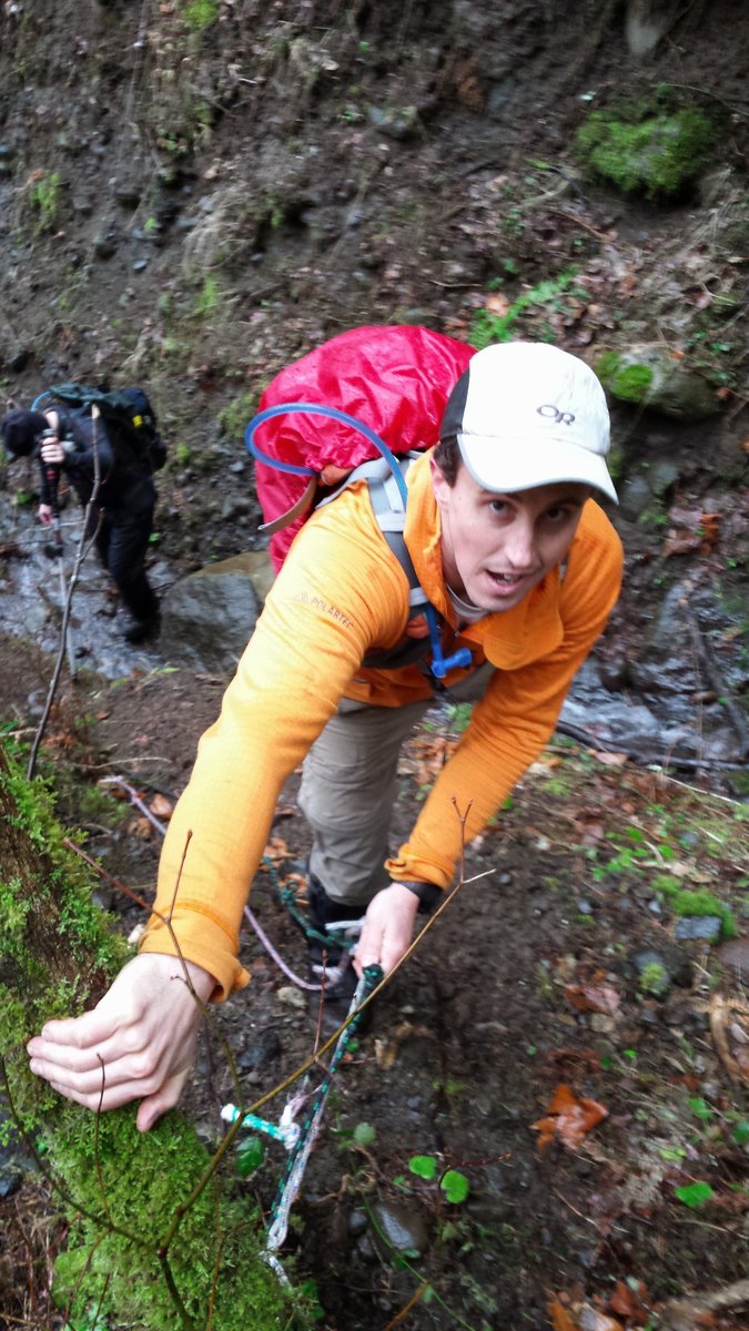
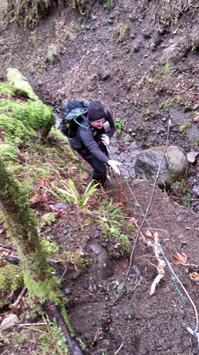
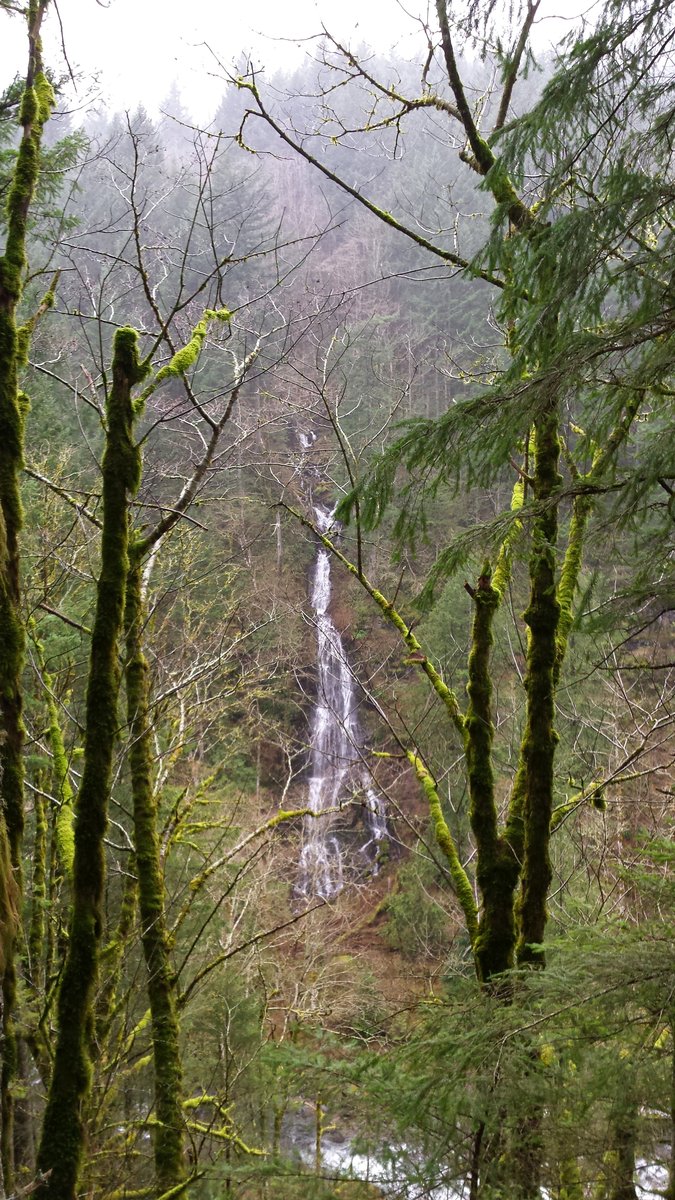
Matt, Daniel and myself hiked from Hwy 26 @ Kiwanis Camp up to Enid Lake on the Pioneer Bridle Trail as the snow fell yesterday. It was absolutely fantastic hiking into the snow. We made a side trip to ZigZag Falls and did a loop around the tiny Enid lake, just West of Gov't Camp. Temps were hovering around freezing most of the day and the snow was intermittent, but a good 1 1/2" fell during the day. Couldn't have asked for a better November hike!
November 15, 2015

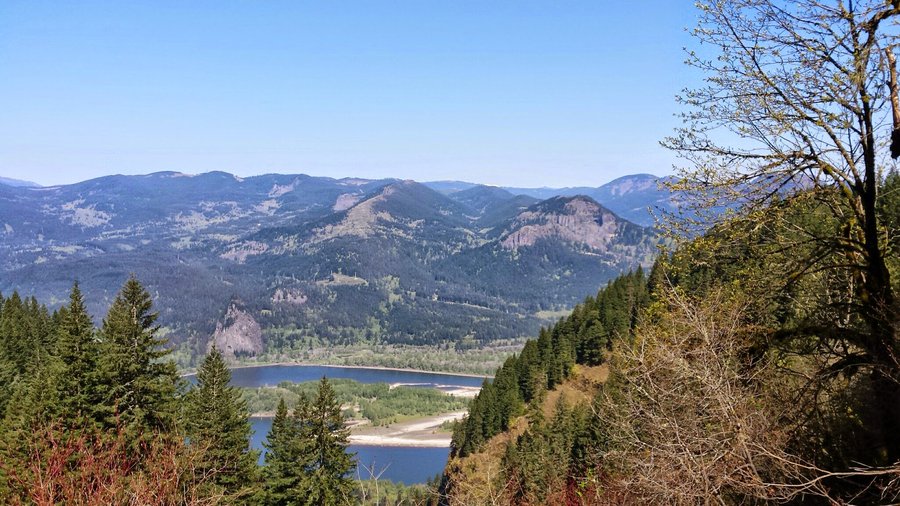
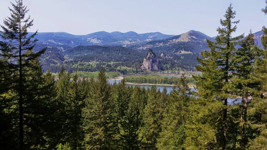
PCT (Herman Ck to Dry Ck)
8.5 miles of hiking • 2000' elevation gain •
It was supposed to rain all day, and heavy, but it ended up being totally dry and a good day to hike (go figure!). I started at Herman Creek TH, where there were only 3 other cars @ 10am. I hiked up to the jct w/ the 405-E bridge trail and made my way down to Herman Creek, where I actually saw the trail's namesake for the first time! Very nice! Then up to the PCT where it crawls across a few talus slopes and in and out of spongy, mossy, wooded enclaves to the Herman Creek Pinnacles. I decided to continue hiking as the weather was nice, so I kept going all the way to Dry Creek falls. Returned the same way, only ran into a dozen or so people all day.
November 14, 2015


 1
1
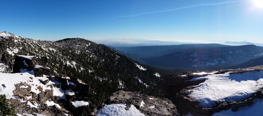
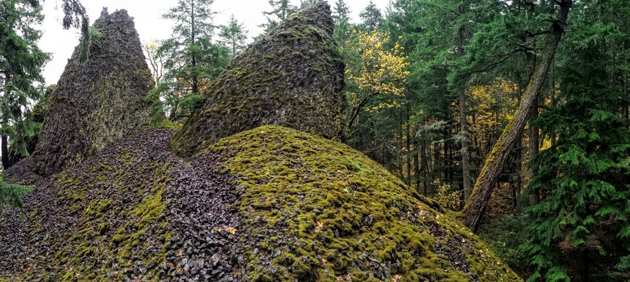
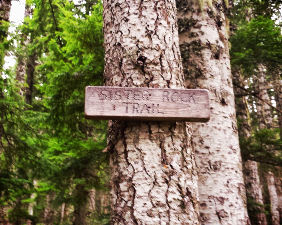
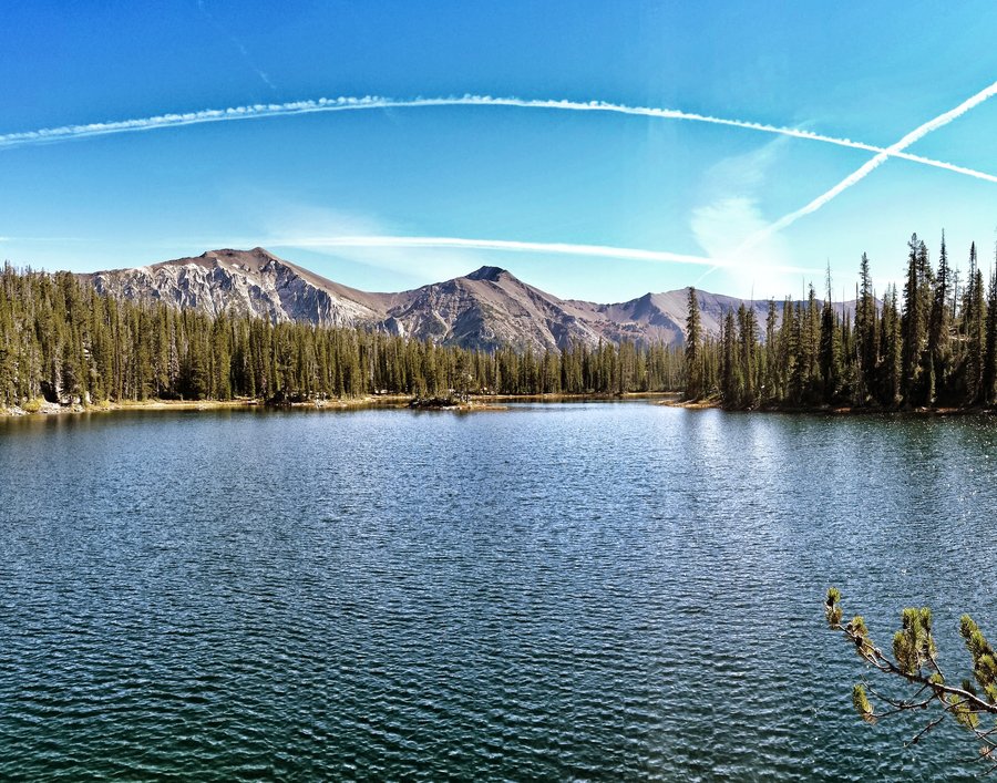
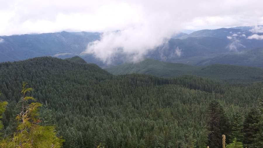
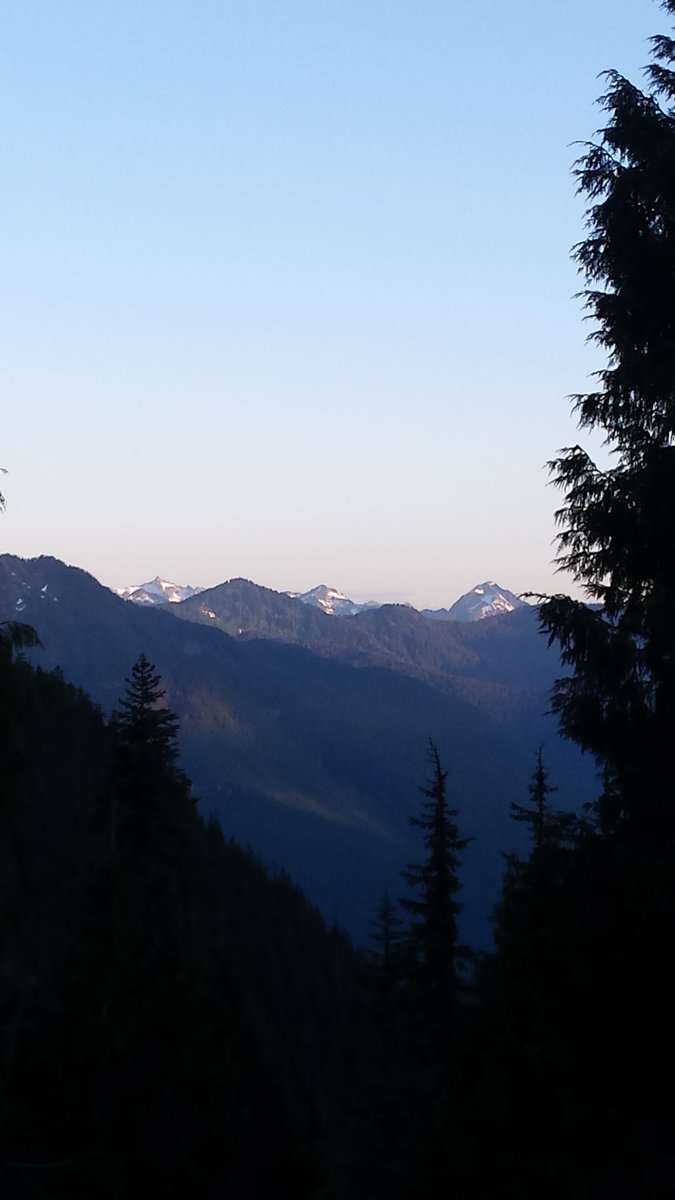
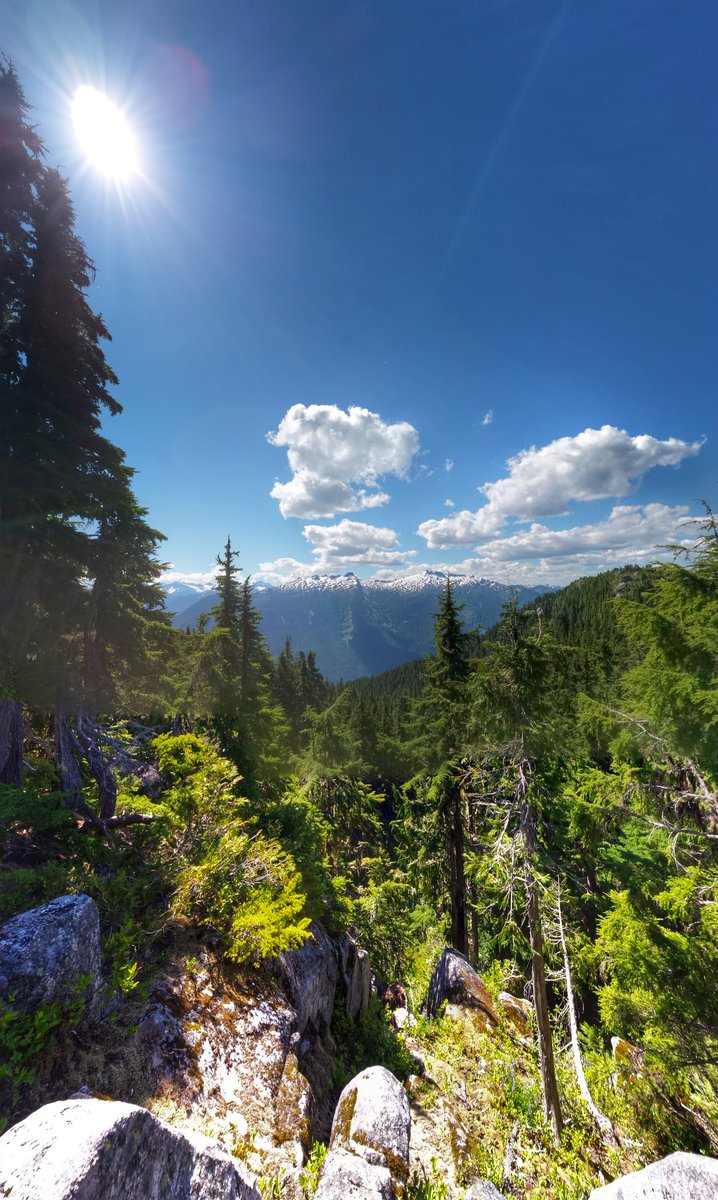
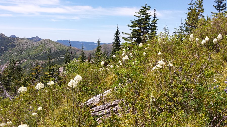
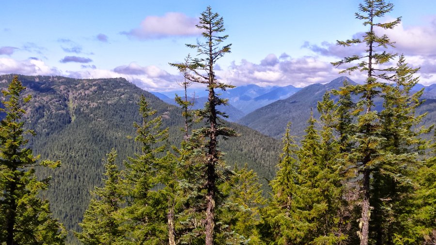
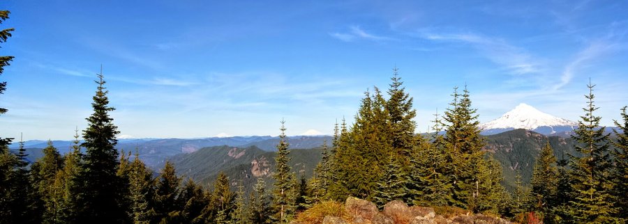
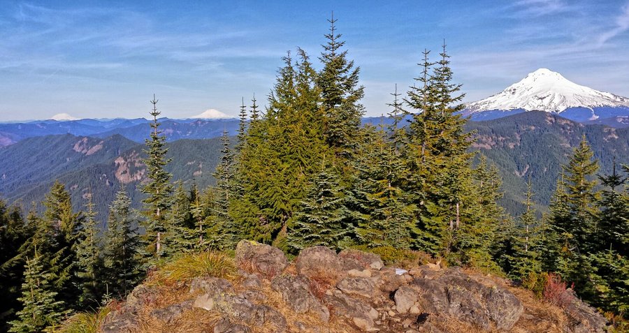
Observation Peak - Sister Rocks Trapper Creek Wilderness
7 miles of hiking • 1750' elevation gain •
October 24, 2015

 2
2
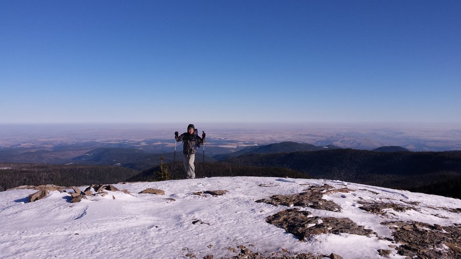
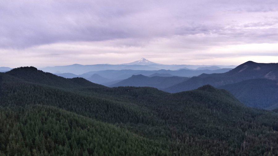
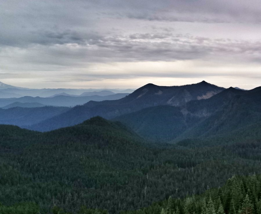
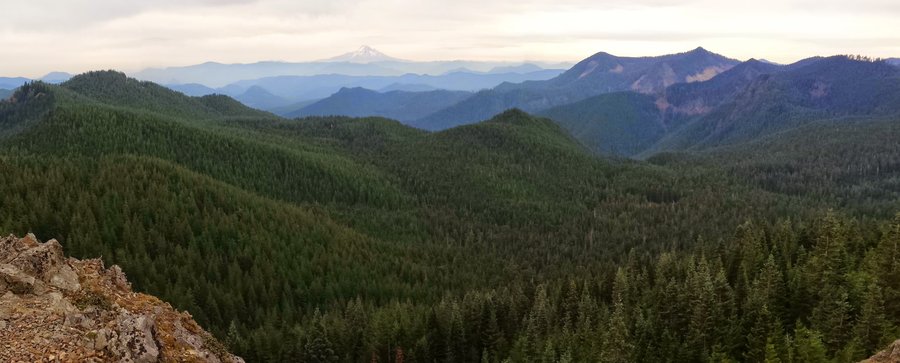
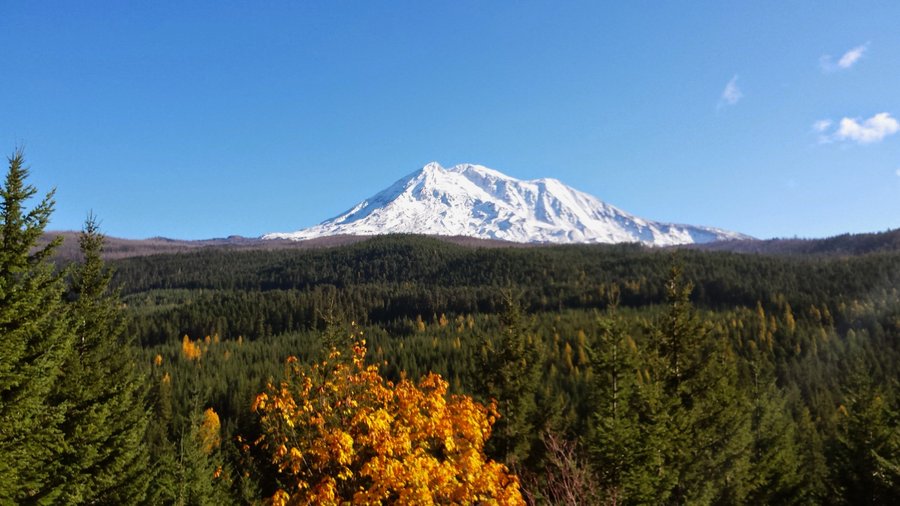
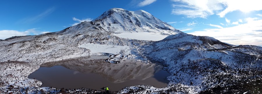
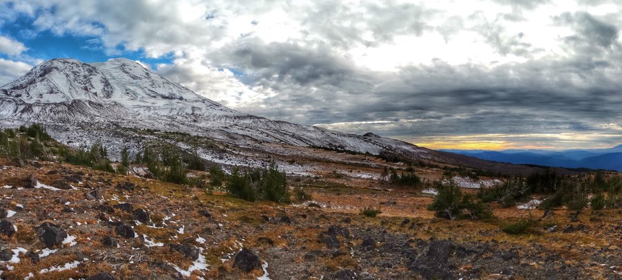
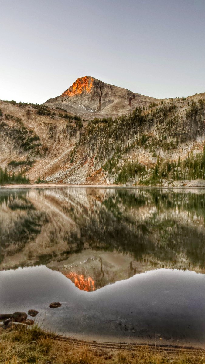
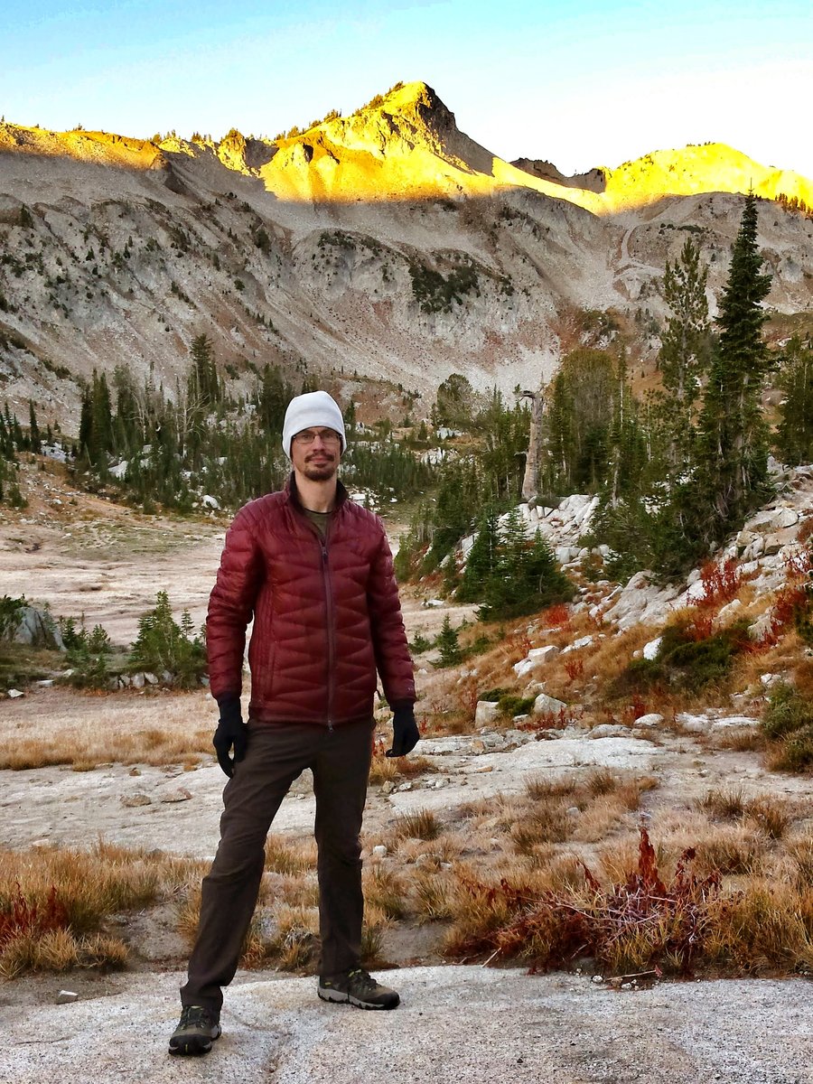
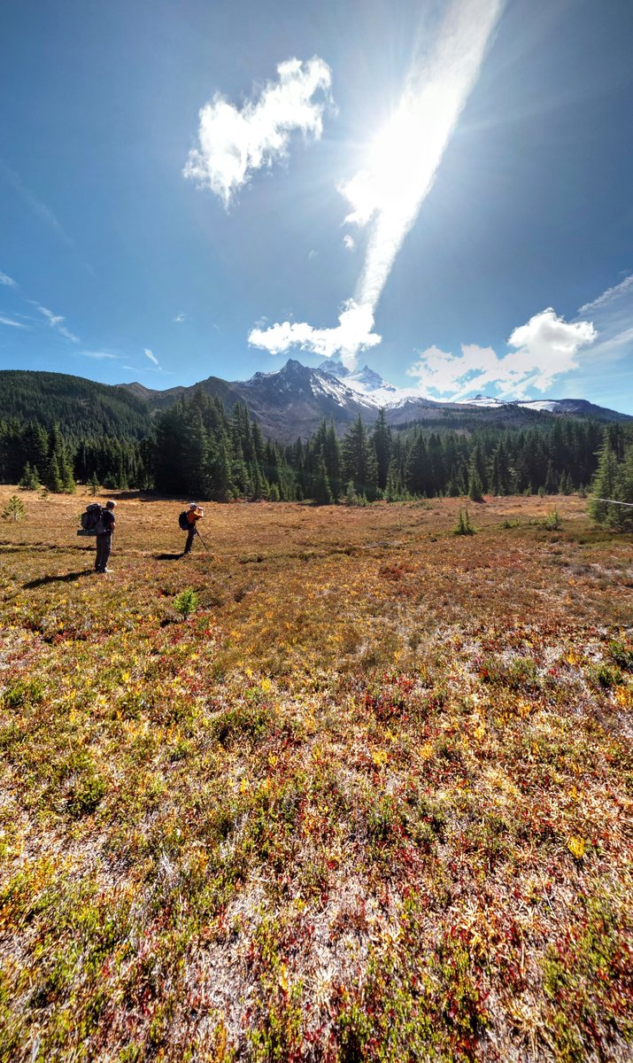
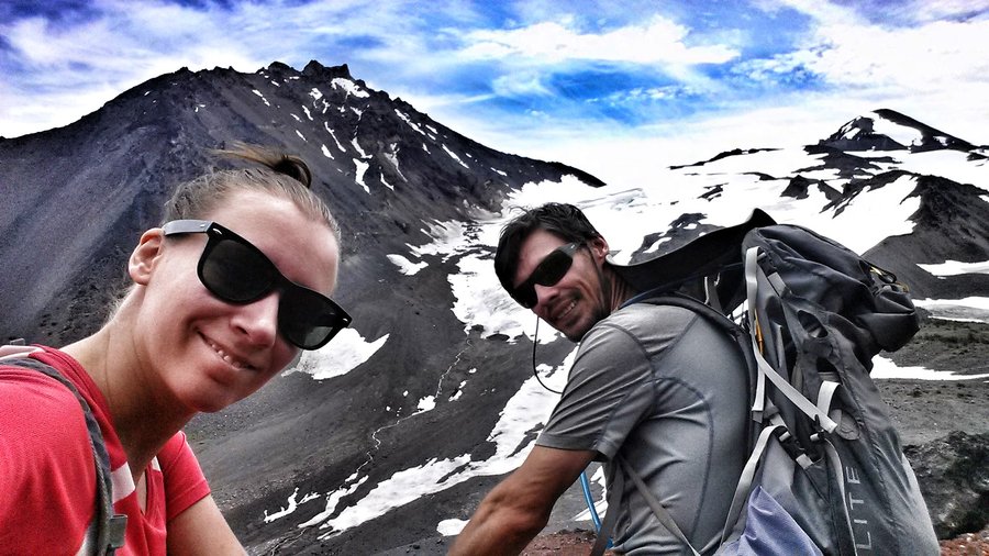
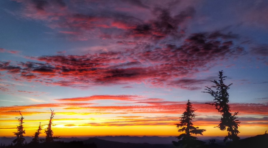
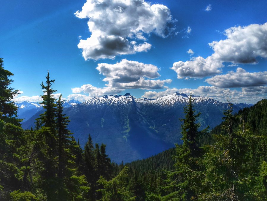
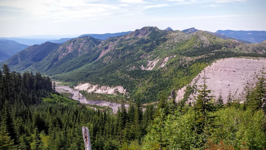
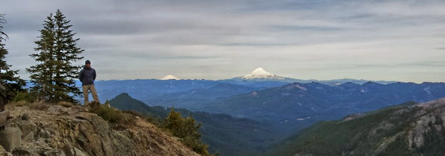
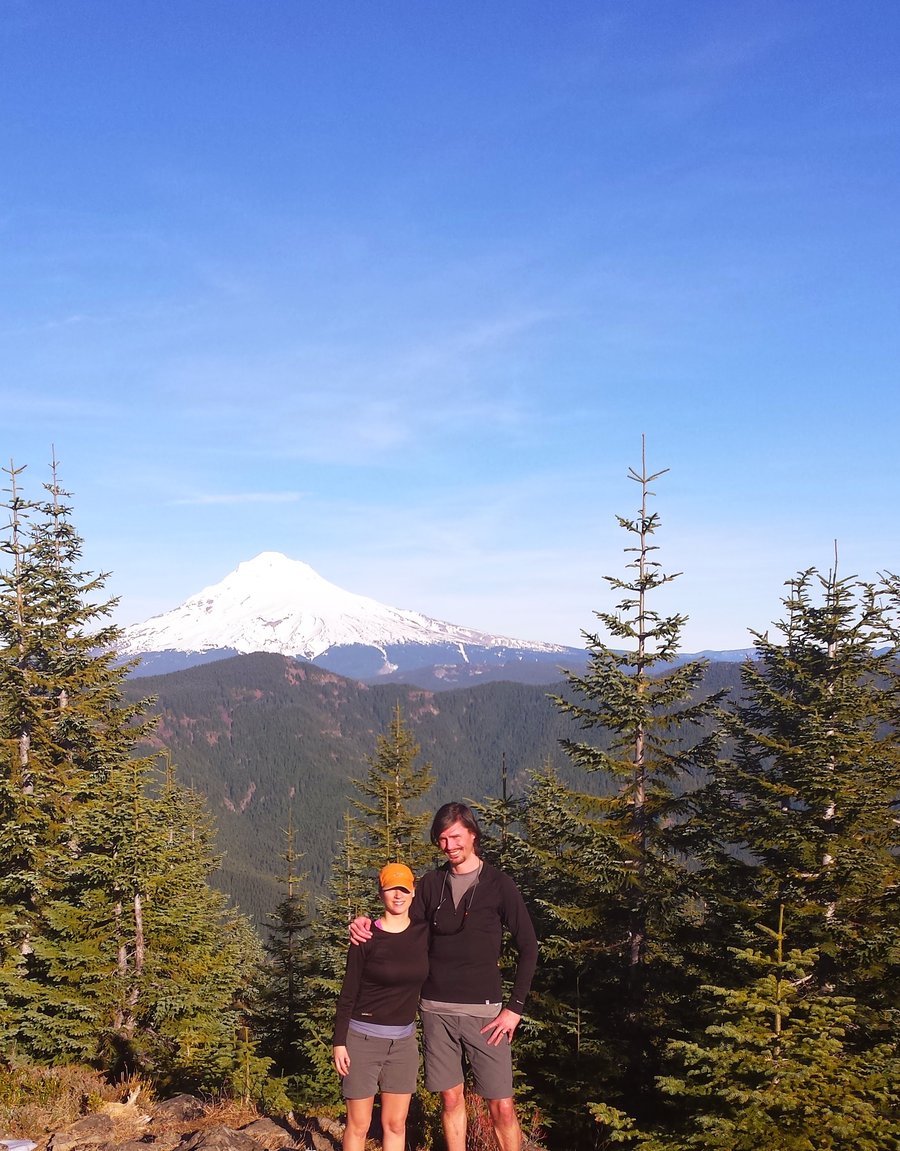
Mt Adams High Camp on Divide Trail
13 miles of hiking • 3000' elevation gain •
Trip to Lake 7505 on the NW flank of Mt Adams, foot of Adams Glacier. Long drive, but lovely walking. Spectacular sunset this evening.
October 11, 2015

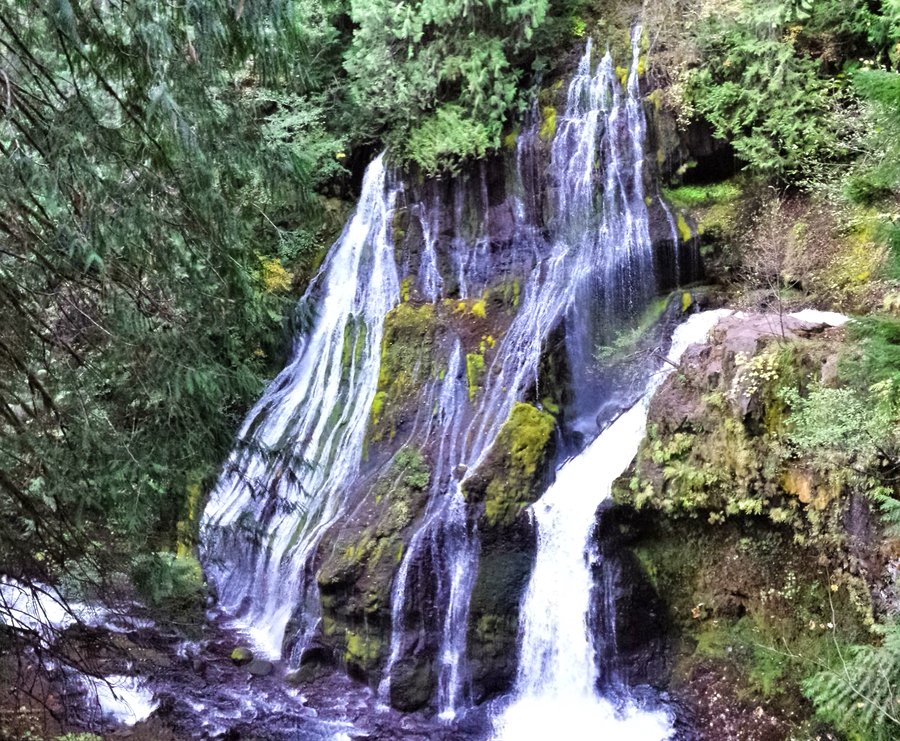
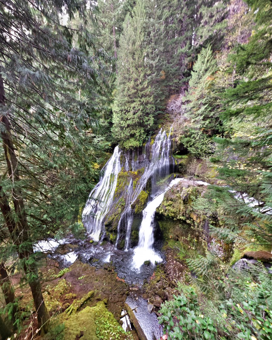
.jpg)

 2
2
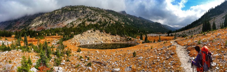
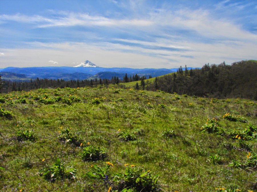
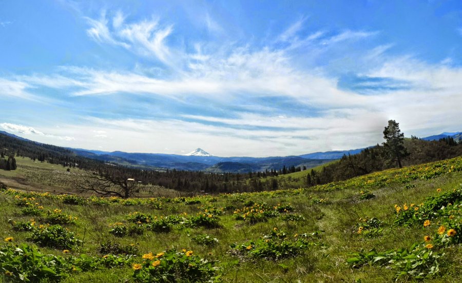
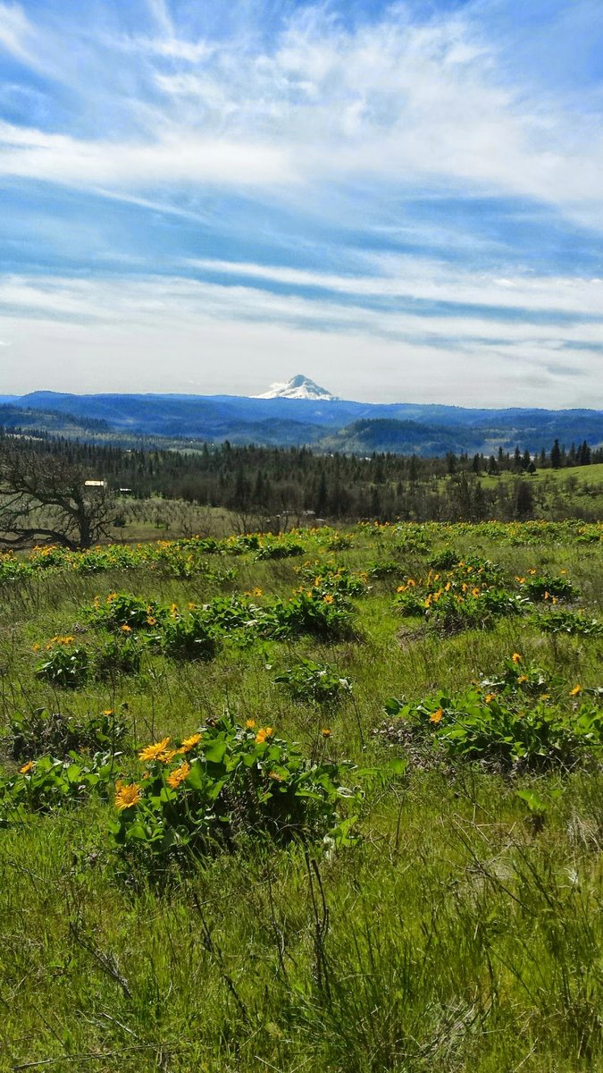
Wallowas-East Lostine to Lakes Basin
29 miles of hiking • 3750' elevation gain • 3 nights
Long weekend trip to the Wallowas to see the leaves change, and revel in a new (to us) Wilderness area. We love the Sierras, so this area was just perfect! No bugs, no people, no fires! Cold at night, heard elk bugling, and passed a few hunters on horseback. You couldn't ask for a more perfect string of days. Just lovely!
October 3 – October 6, 2015

.jpg)
.jpg)
.jpg)
.jpg)
.jpg)
.jpg)
.jpg)
.jpg)
.jpg) 1
1
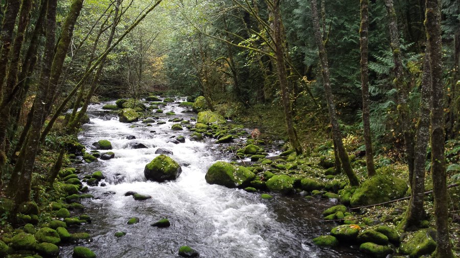
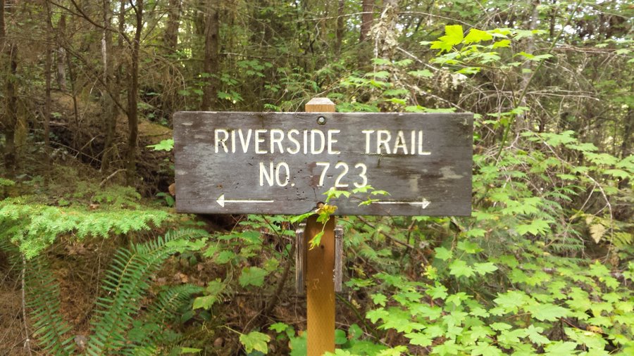
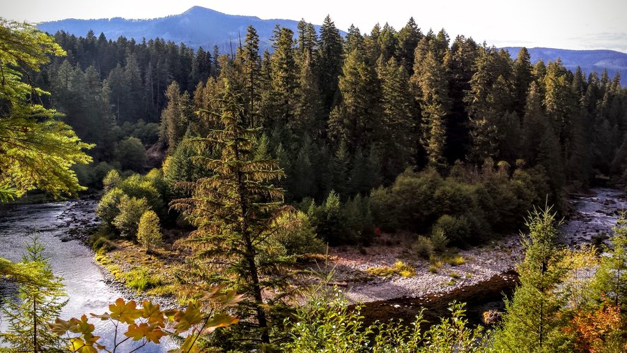
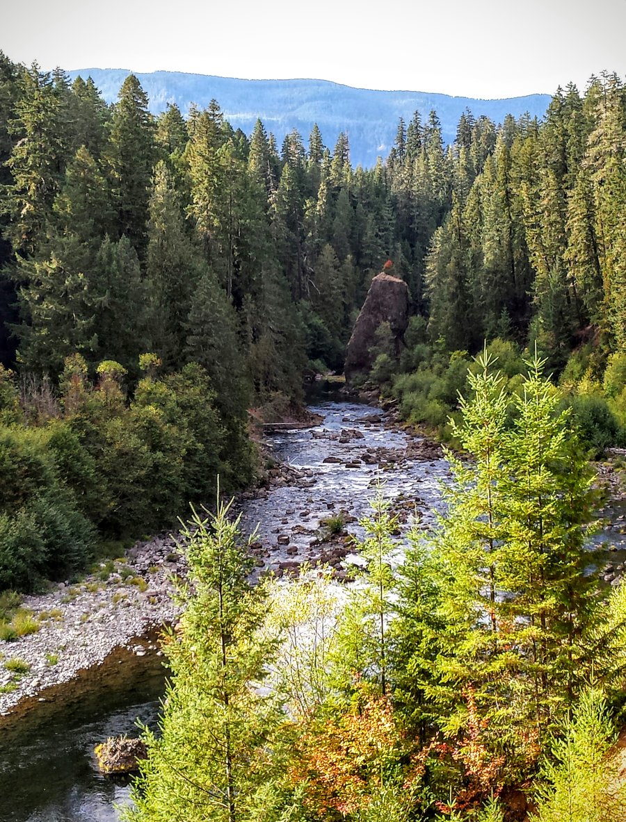
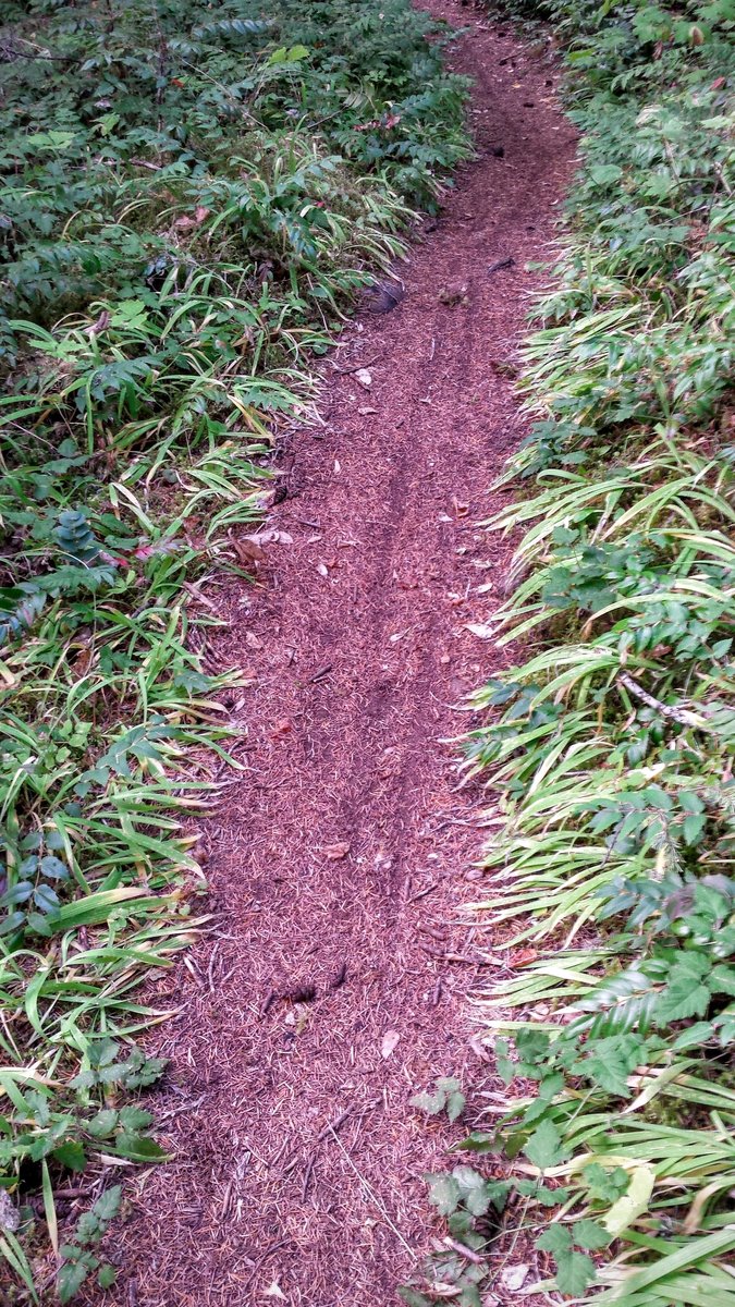
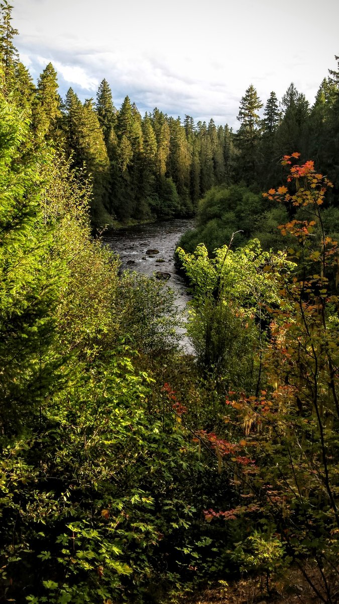
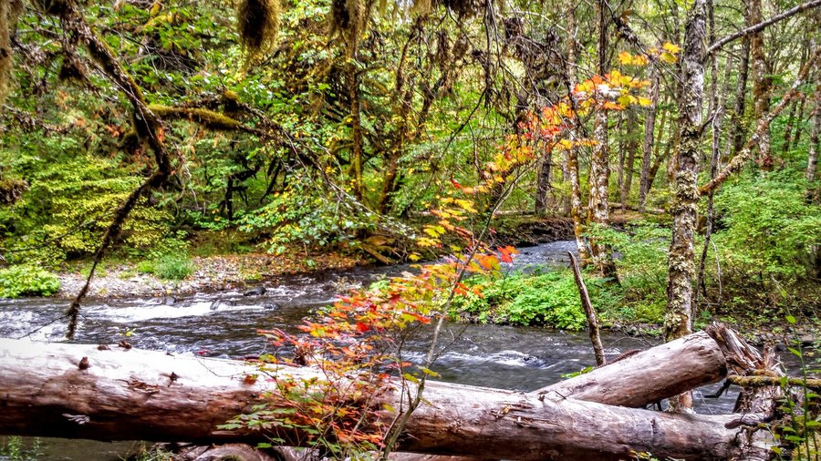
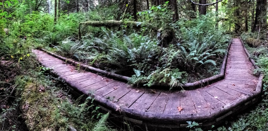
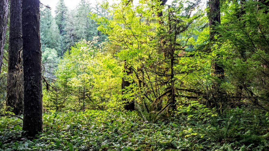
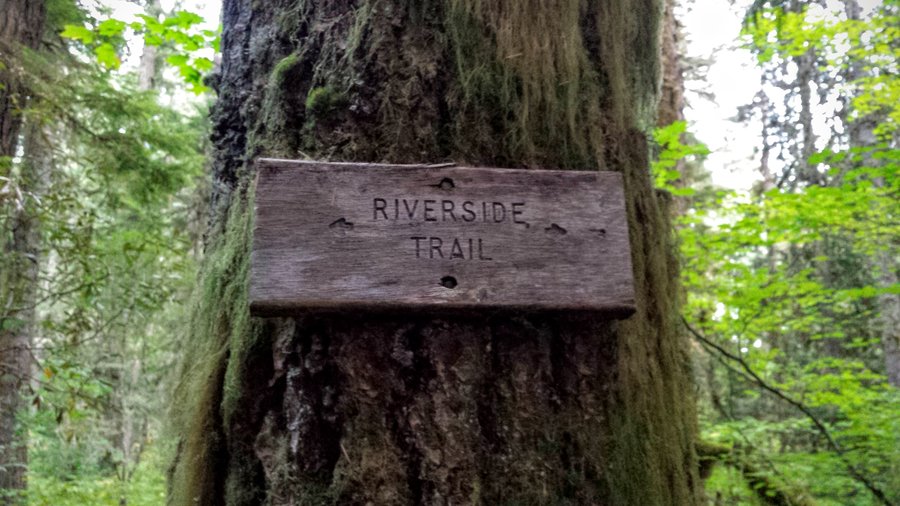
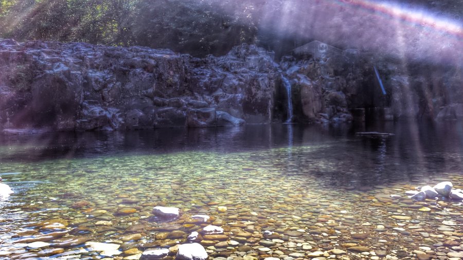
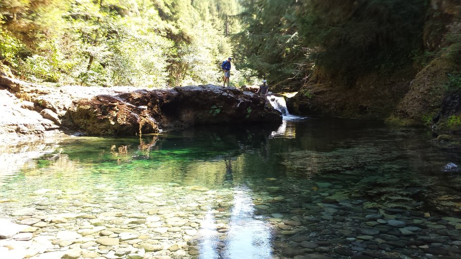
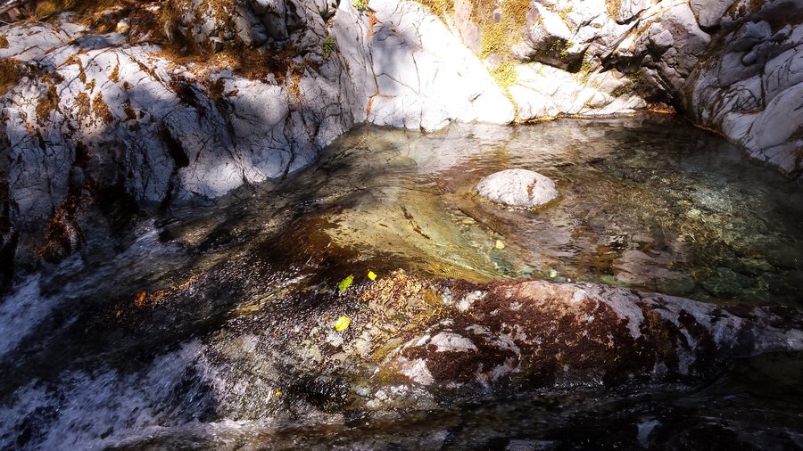
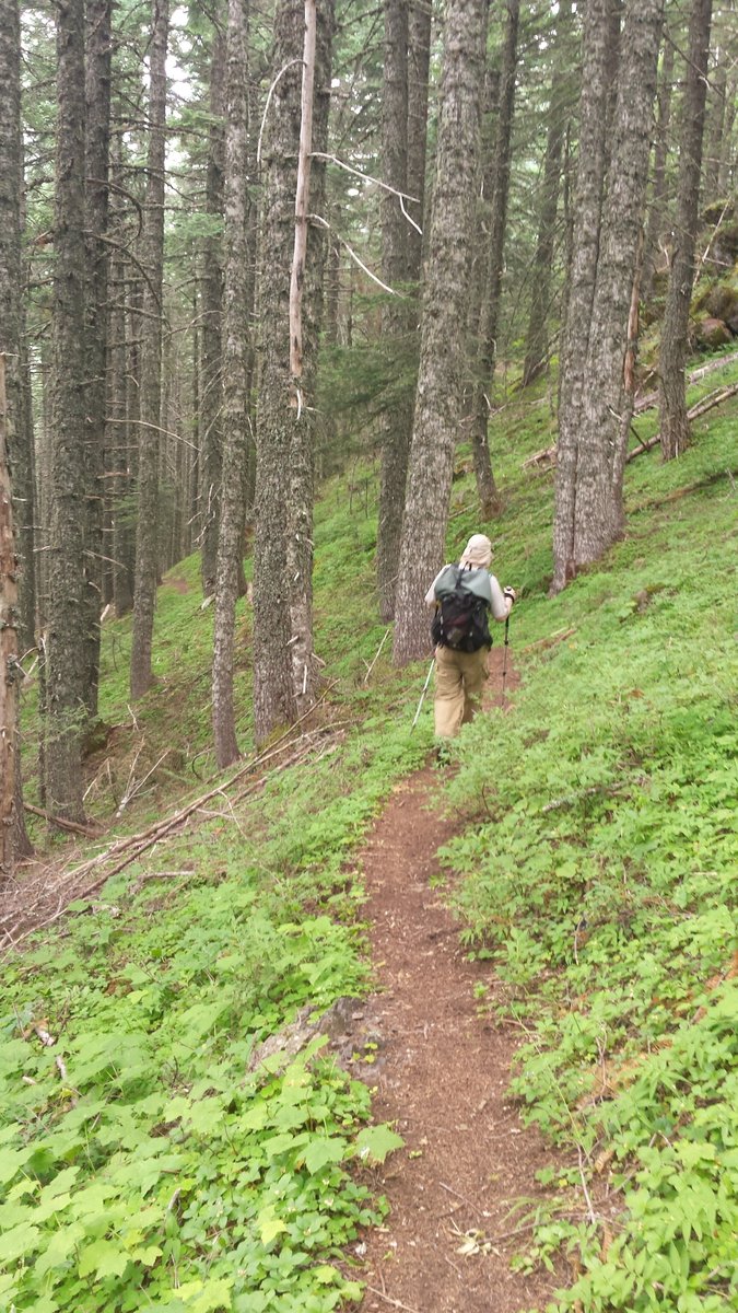
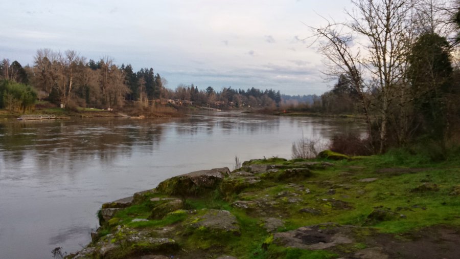
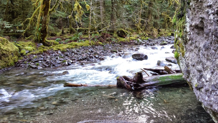
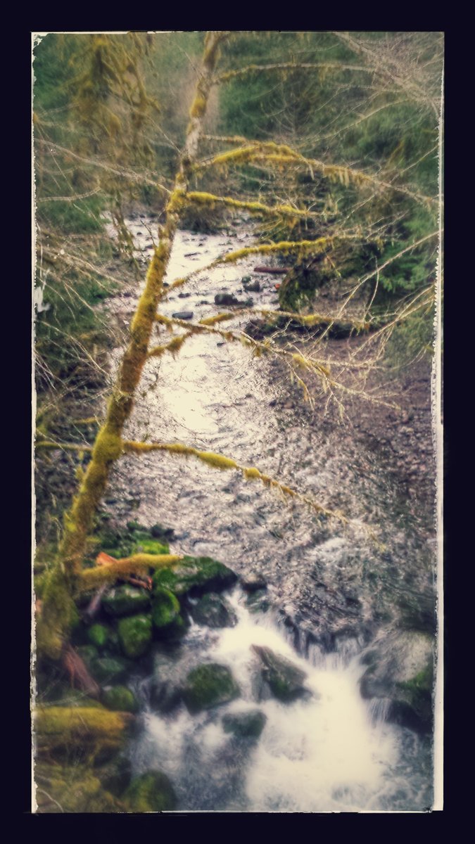
Clackamas Riverside National Recreation Trail
5.5 miles of hiking • 1500' elevation gain •
Friday evening after work ramble. It was 45 miles one way from Clackamas to the TH. I saw no other people the entire evening. The river was pretty low, the trees huge and the walk very lovely. Spotted a couple of frogs and a few birds I could not identify.
September 25, 2015


 2
2
Mt Jefferson high camp
18 miles of hiking • 4250' elevation gain • 1 night
Great fall colors up at Jefferson Park this weekend. The meadow is just waiting for snow. I hope it comes! We hiked high above the lakes out of sight of the hordes and masses ringing every lake.
September 19 – September 20, 2015


.jpg)
.jpg)

.jpg)
.jpg)
.jpg)
.jpg)
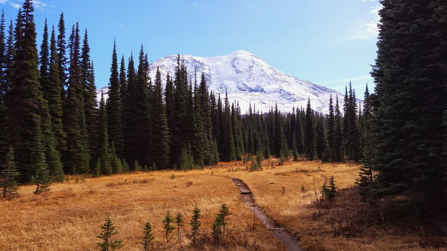
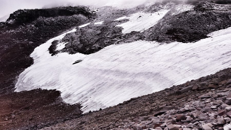
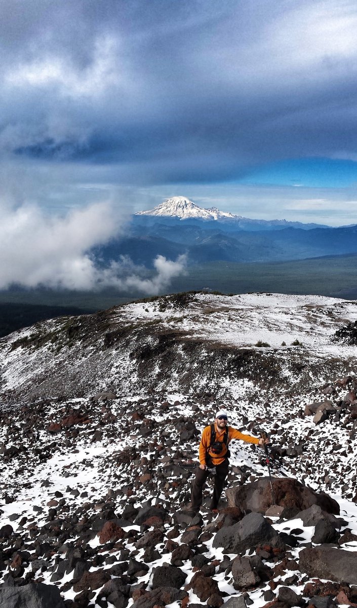
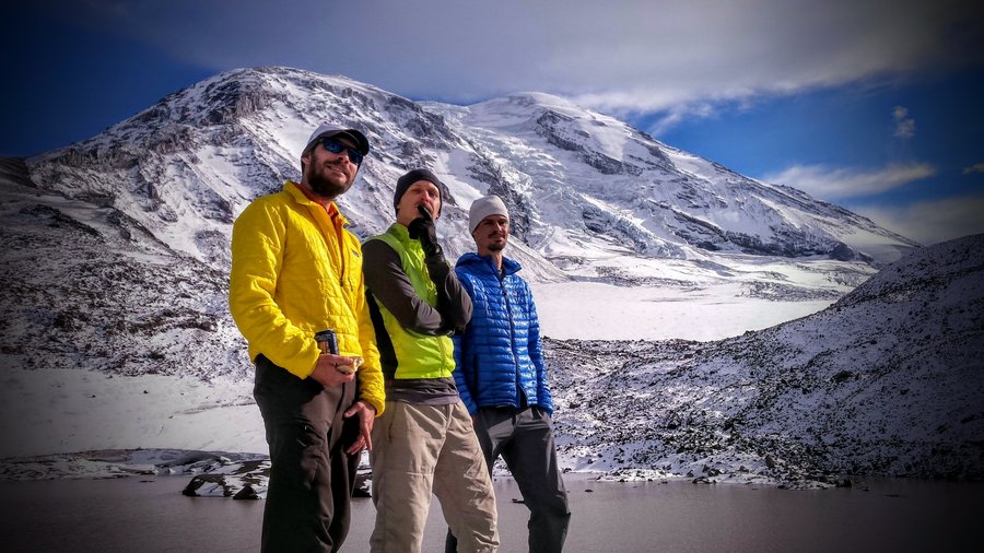
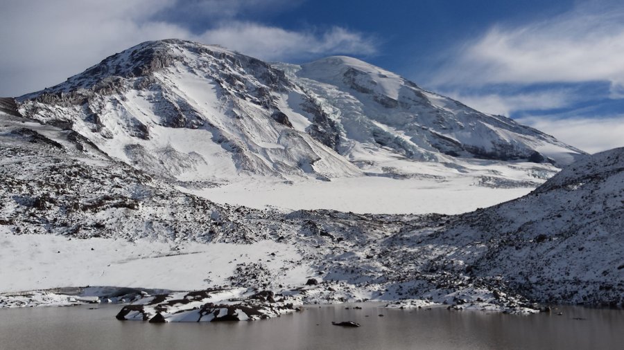
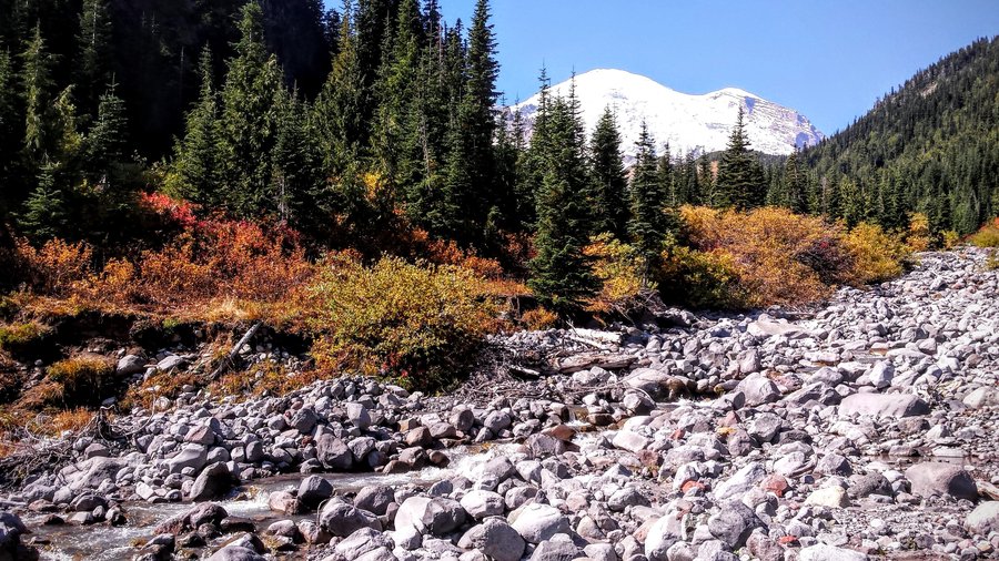
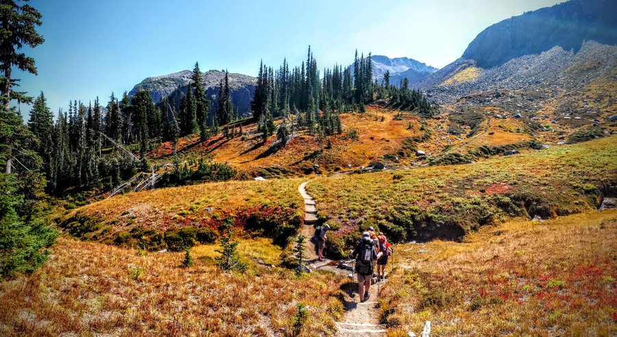
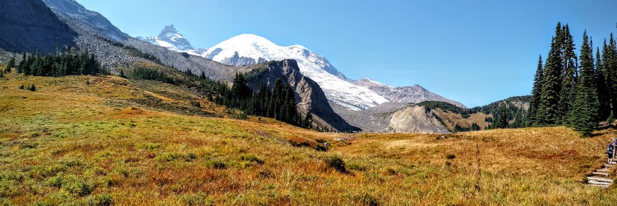
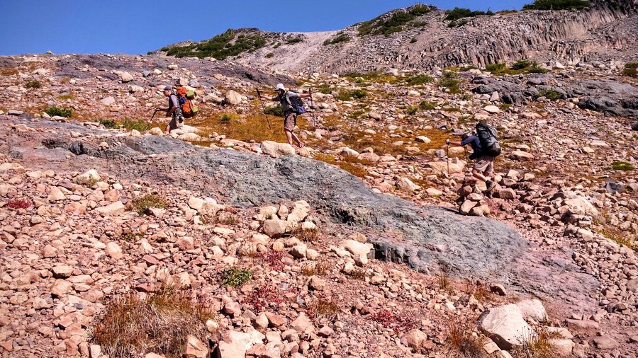
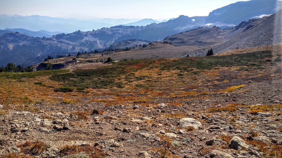
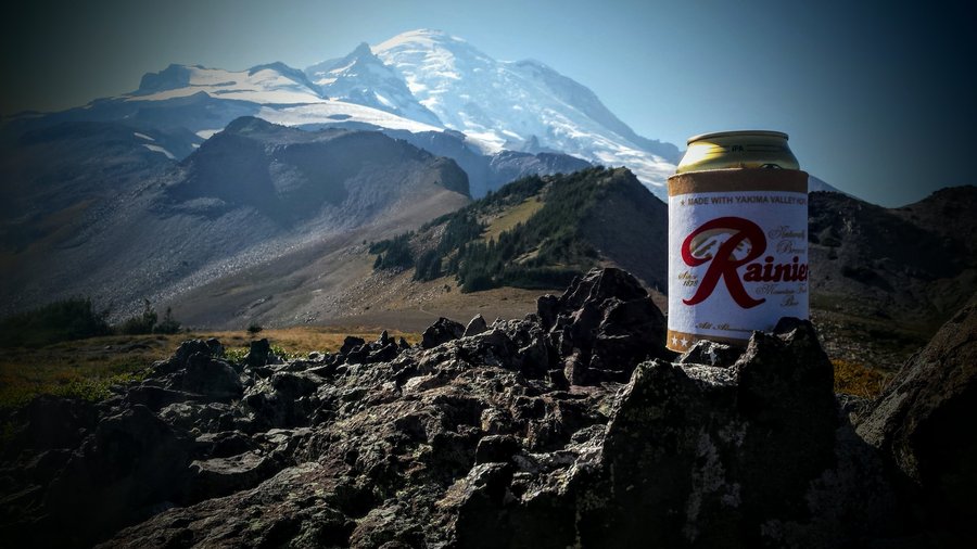
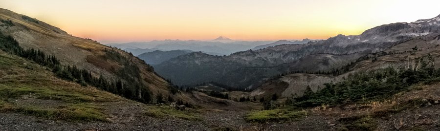
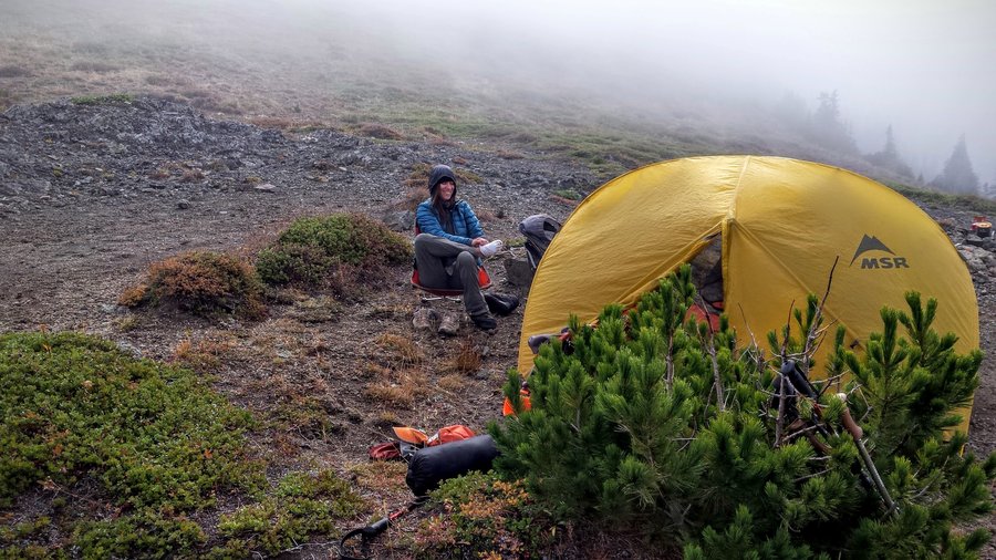
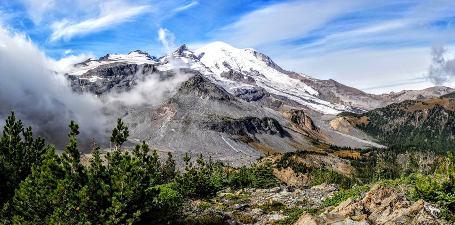
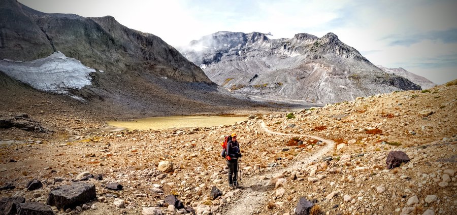
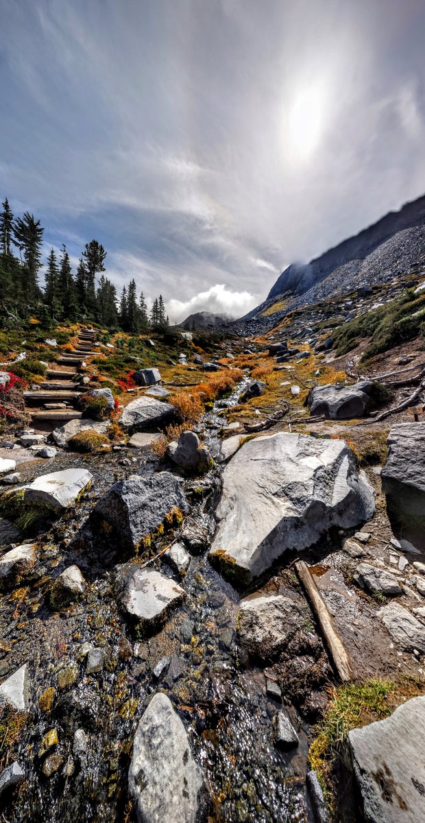
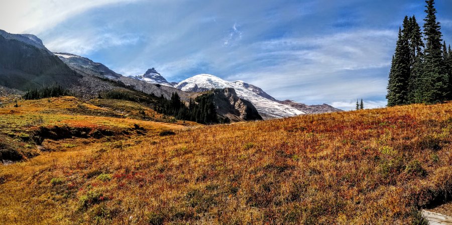
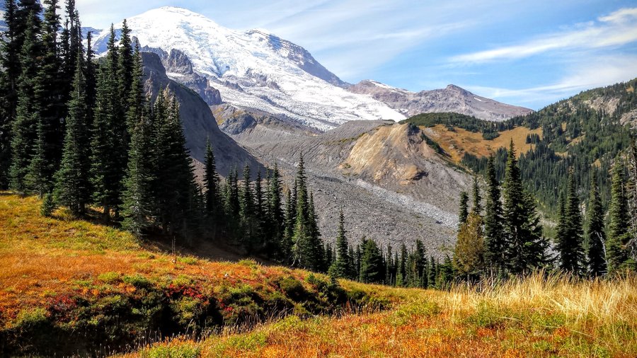
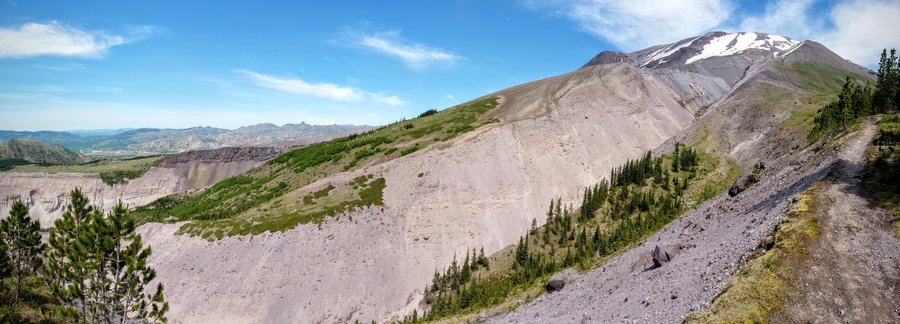
Summerland - Mt Rainier Nat'l Park
16 miles of hiking • 3000' elevation gain • 1 night
Awesome overnighter to a new area for me. The fall colors were just outstanding. Even though this was one of the most crowded trails I have ever hiked on, the views were spectacular and it was just a perfect weekend outing.
September 12 – September 13, 2015

.jpg)
.jpg)
.jpg)

.jpg)
.jpg)
.jpg)
.jpg)
.jpg)
August 16, 2015

.jpg)
.jpg)
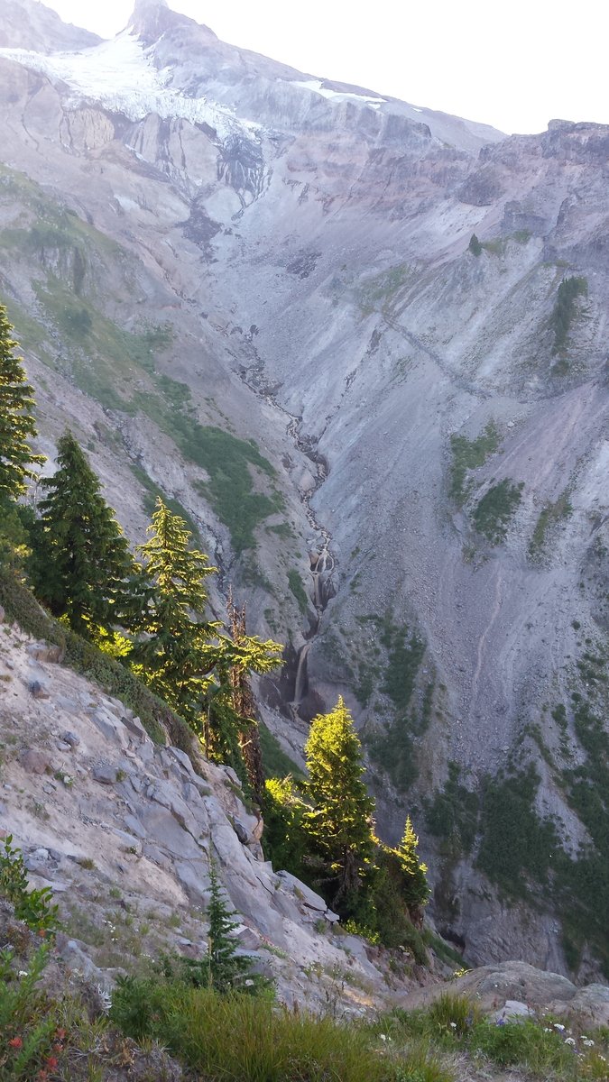
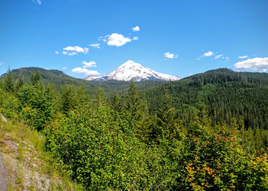
Ramona Falls/Yocum Ridge
19 miles of hiking • 4250' elevation gain • 2 nights
Hiked up to 6800', pretty sketchy section around 6200' that traverses a steep rock and scree field above a perilous dropoff. No snow in sight. Camped below the trail on the ridge, awesome sunset, lots and lots of black flies.
July 17 – July 19, 2015

.jpg)
 2
2
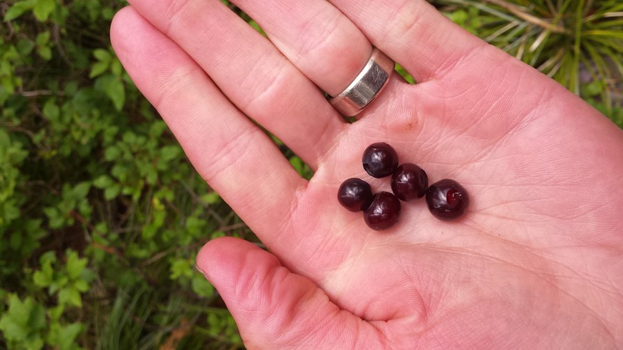
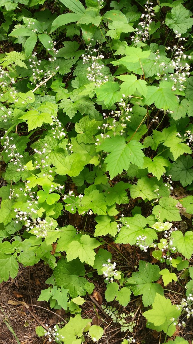
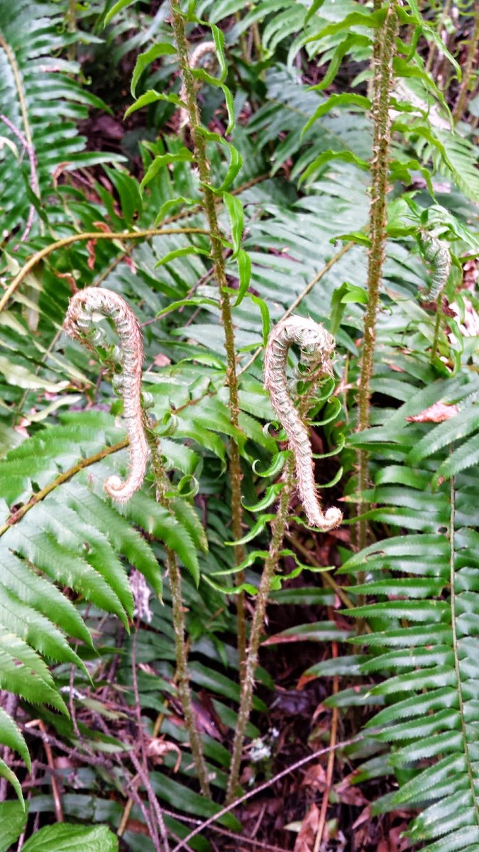
Cast Lake via Cast Creek - Horseshoe Ridge, MHNF
15.5 miles of hiking • 4000' elevation gain •
Full on cloudy day, but I wasn't complaining! It's been far too long since we had a break from muggy misery. Berries were a nice (early) touch in the meadows beyond Cast Lake on the trail. Lots of climbing up Cast Creek trail but it's nicely graded. Horseshoe Ridge is too and it made for nice walking. The latter trail was almost like late spring conditions, with early summer flowers still out (trillium just past!) and the forest floor was a green carpet of oxalis and ferns. Not much for views today, but Cast Lake was a nice place to visit. (First time!)
July 11, 2015

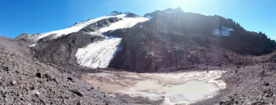
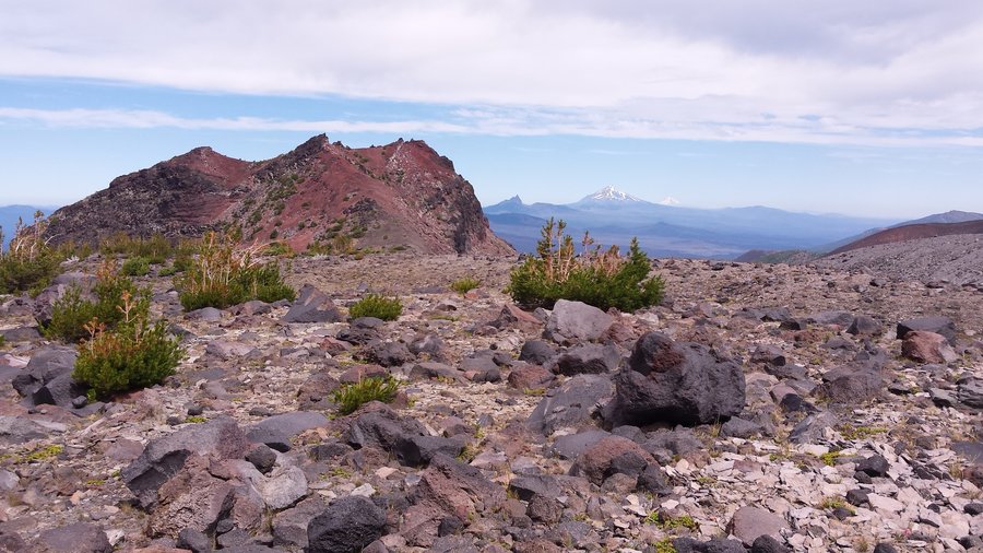
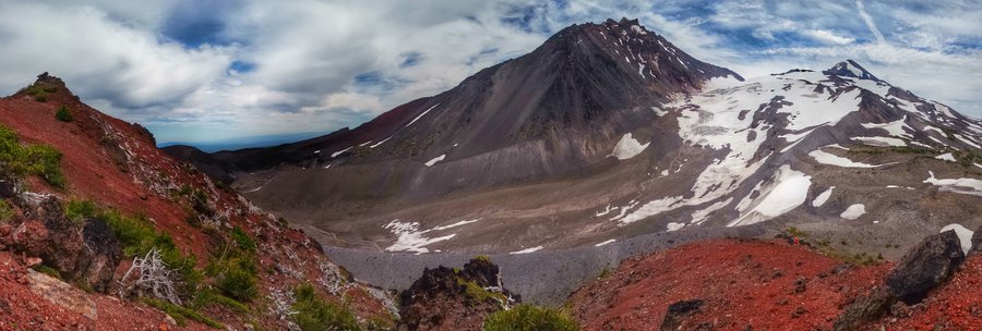
Obsidian-Little Brother Loop
20 miles of hiking • 4250' elevation gain • 2 nights
Holiday weekend excursion to Obsidian LEA on the NW edge of the Three Sisters. We circumnavigated Little Brother, drank some beers creekside and stayed under a merciful cloud layer on Saturday after getting roasted on Friday. This area is really spectacular! It looks sparse, but it's very detailed and beautiful, so many colors and with the wildflowers hanging on for at least a few more days, it really added to our trip. The view of the Collier glacier from Little Brother is one of the best anywhere.
July 3 – July 5, 2015

.jpg)
.jpg)
.jpg)
.jpg)
 2
2
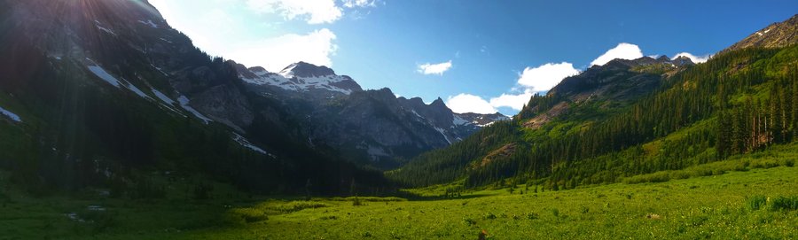
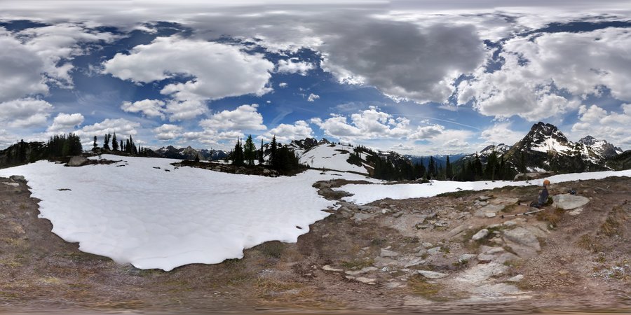
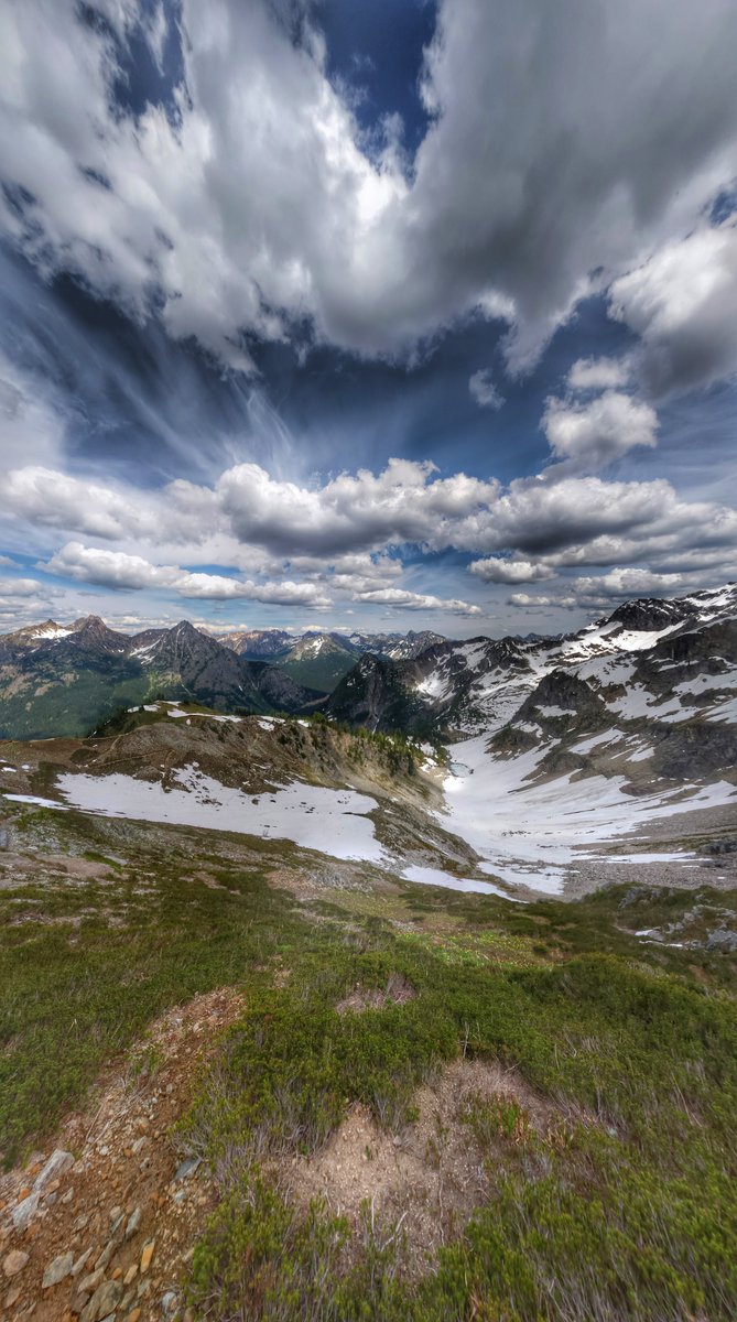
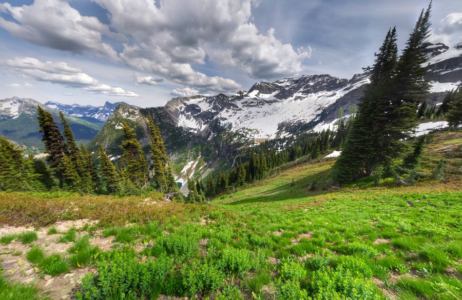
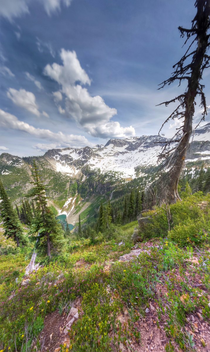
Spider Meadow via Phelps Creek Trail - Glacier Peak Wilderness
19.5 miles of hiking • 3750' elevation gain • 2 nights
June 19 – June 21, 2015

.jpg)

.jpg)
.jpg)

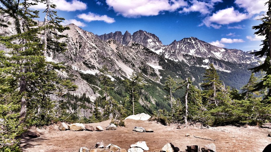


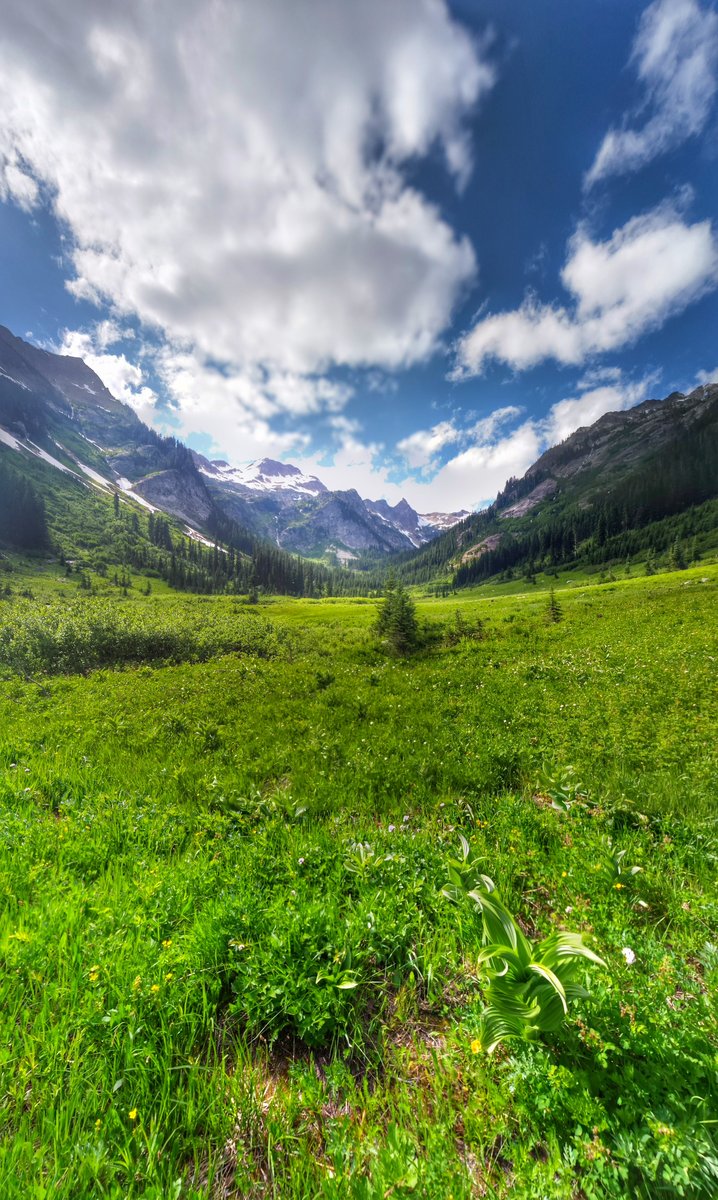
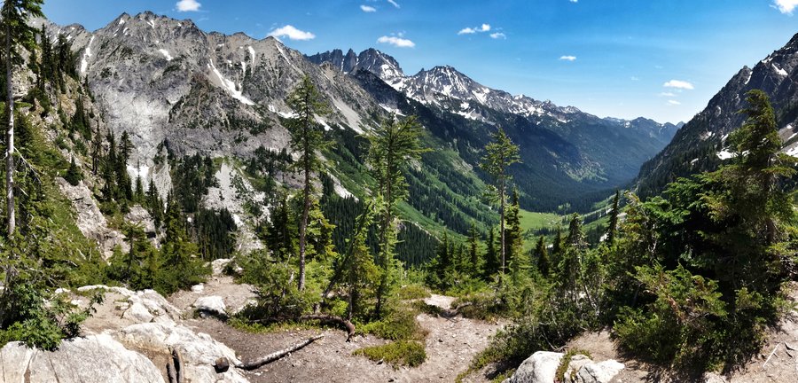
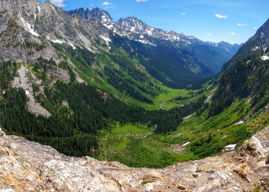
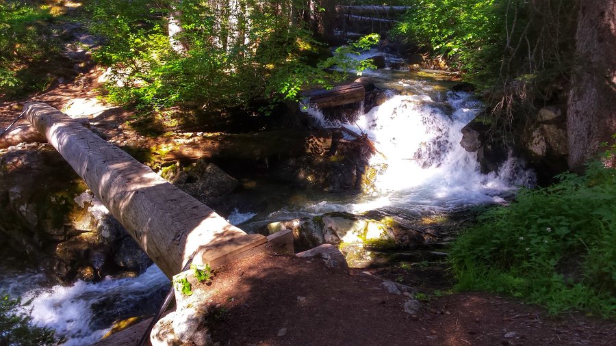
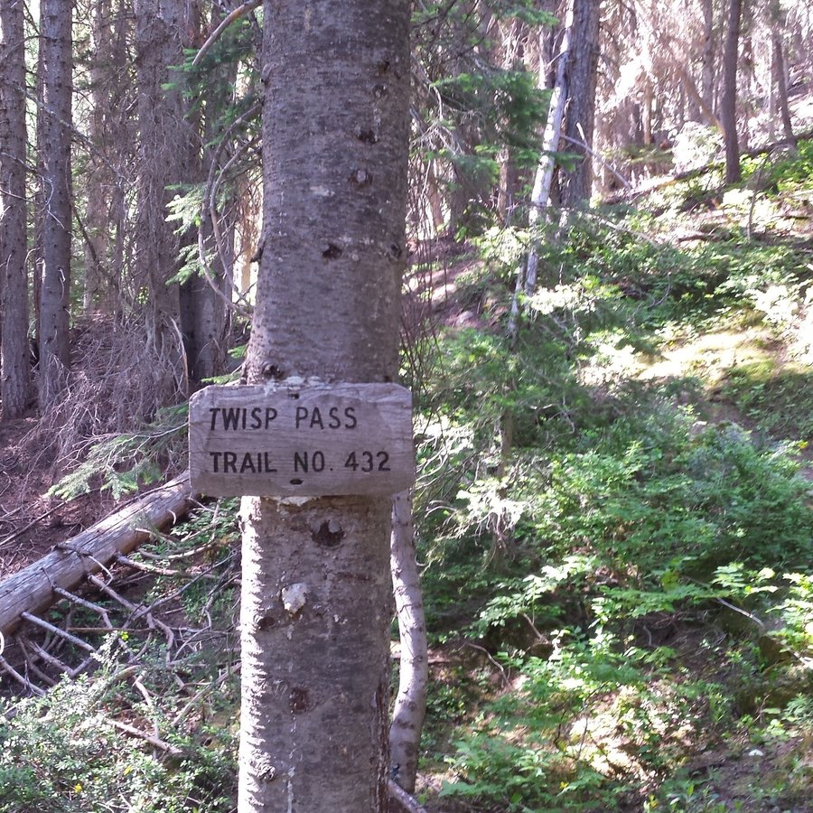
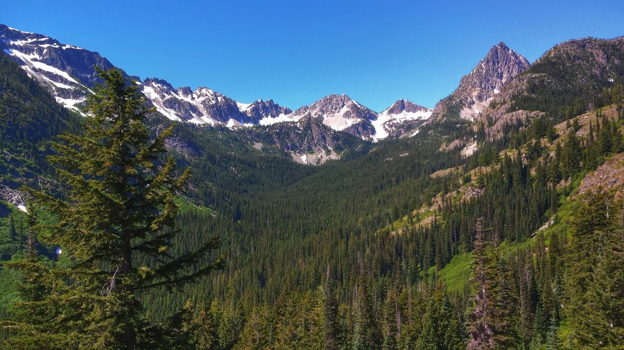
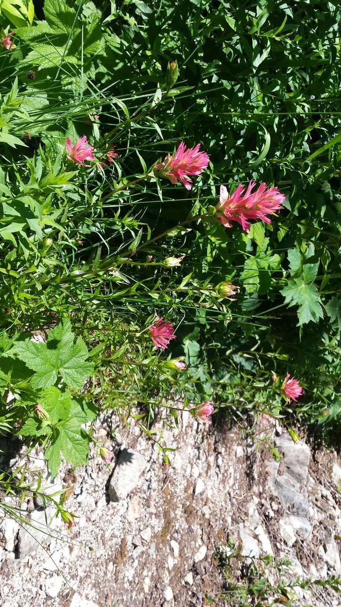
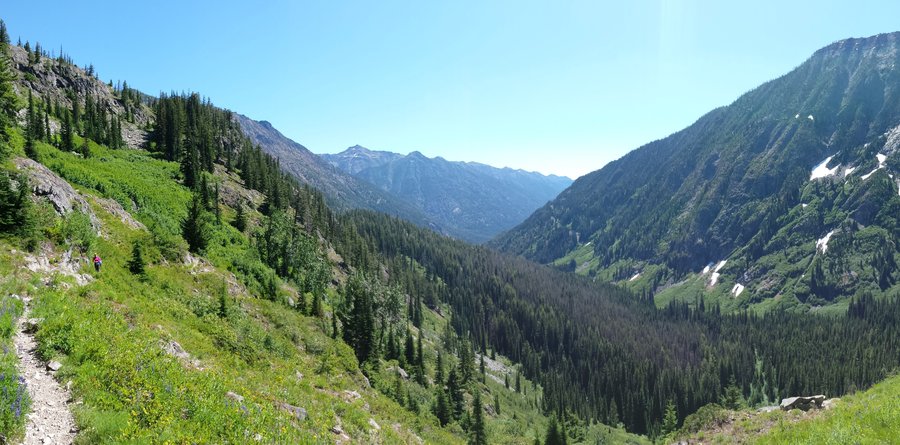
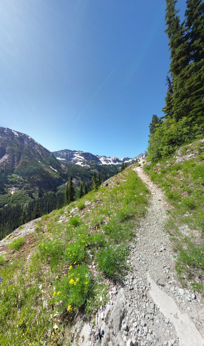
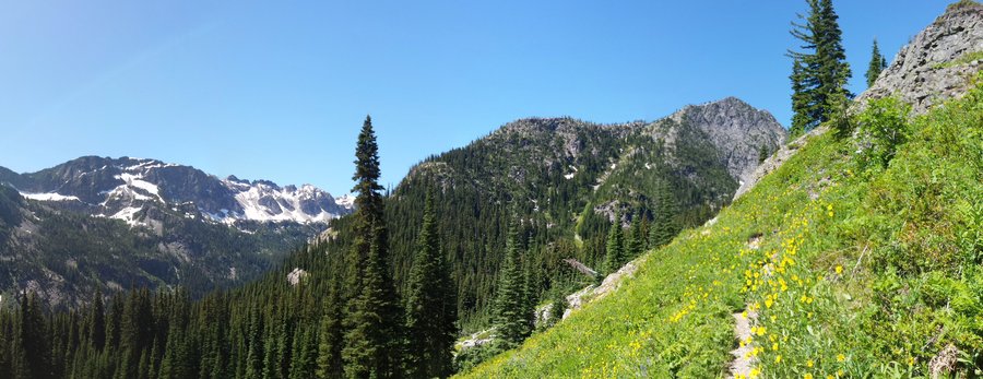
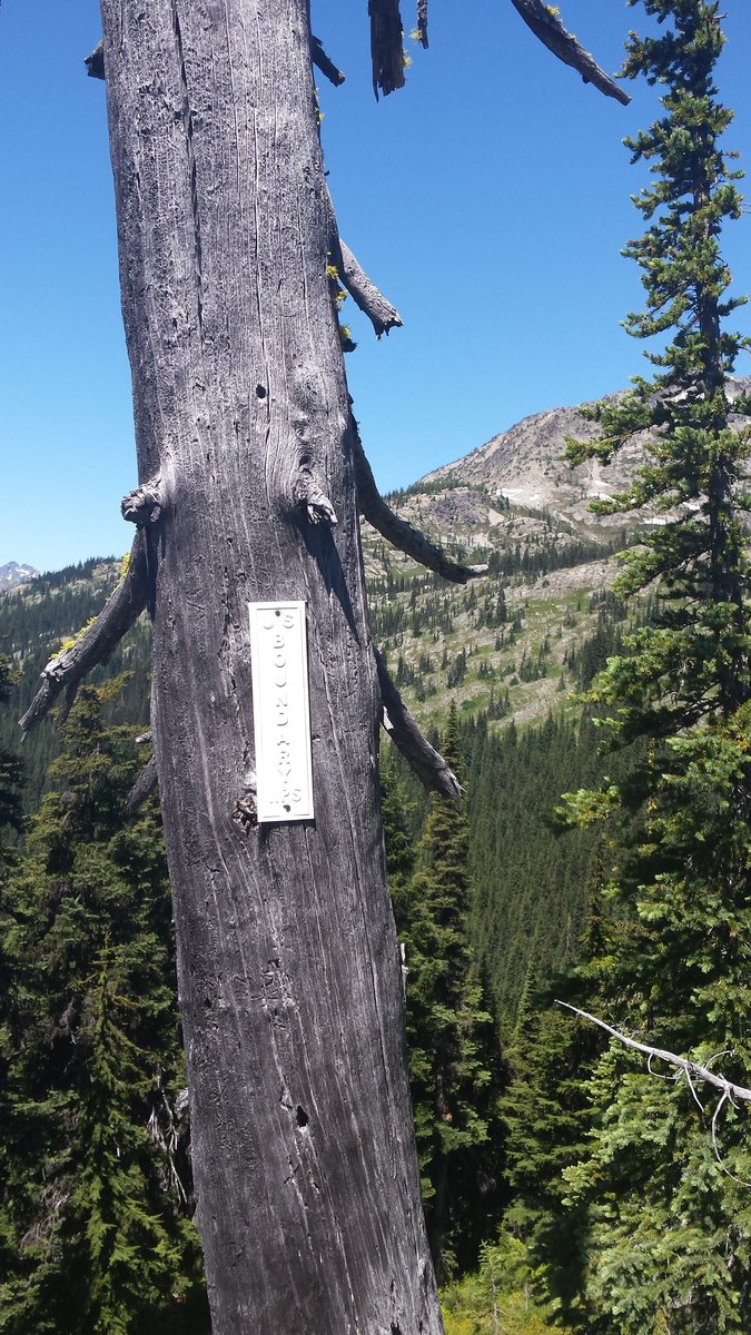
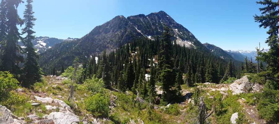
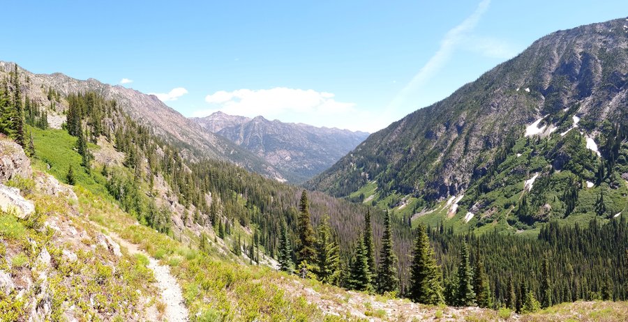
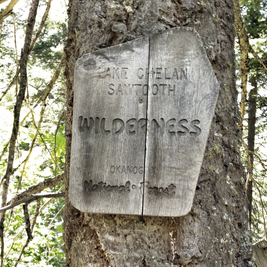
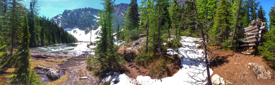
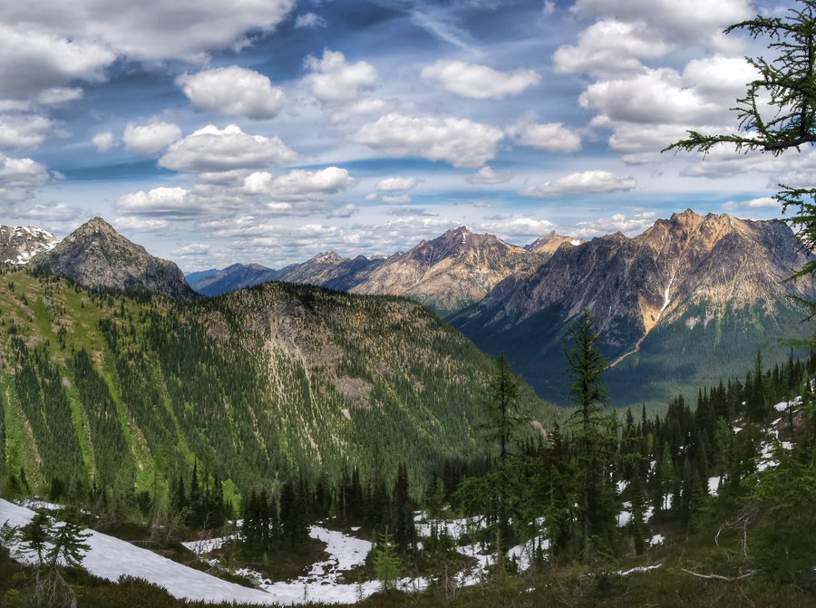
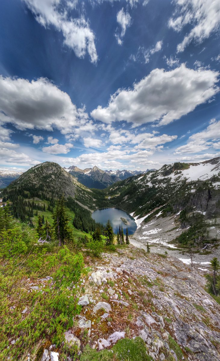
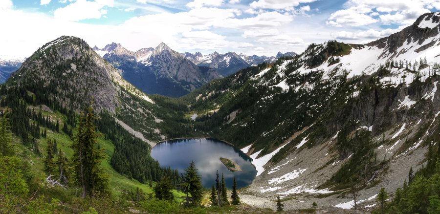
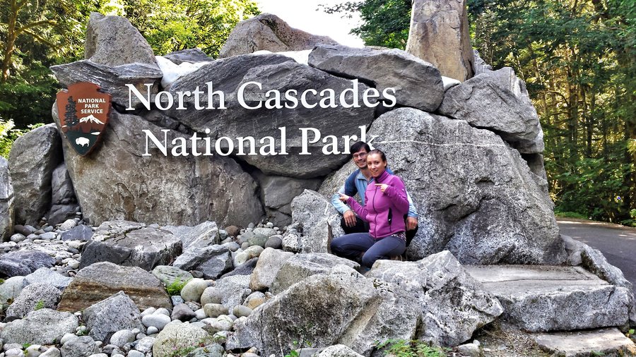
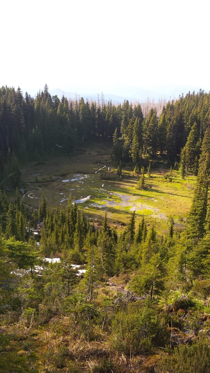
Twisp Pass, Chelan-Sawtooth Wilderness, WA
10.5 miles of hiking • 2500' elevation gain • 1 night
Took a chance and drove out the Twisp River Rd on our drive on the Cascade Loop. There are many trails and campgrounds out that way, so we camped one night and did a dayhike up to Twisp Pass the next morning. The trail started out level and brushy and after crossing the North Fork of the Twisp River on a log bridge w/ no railing, it climbs up through Engleman Spruce forest w/ some blowdown and good views of the drainage behind and ahead. Views of Lincoln Butte are very nice, Hock Mtn, Twisp Mtn and numerous rock and flower gardens keep it interesting. Soon you reach the crest of the pass and the Nat'l Park Boundary and good views into the North Cascades are to be had if you scramble up to higher areas off trail to the NE. Some great looking campsites up there, offtrail and lots of high country to explore.
June 17 – June 18, 2015

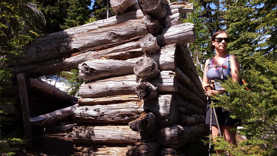
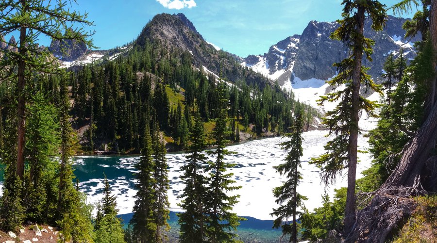
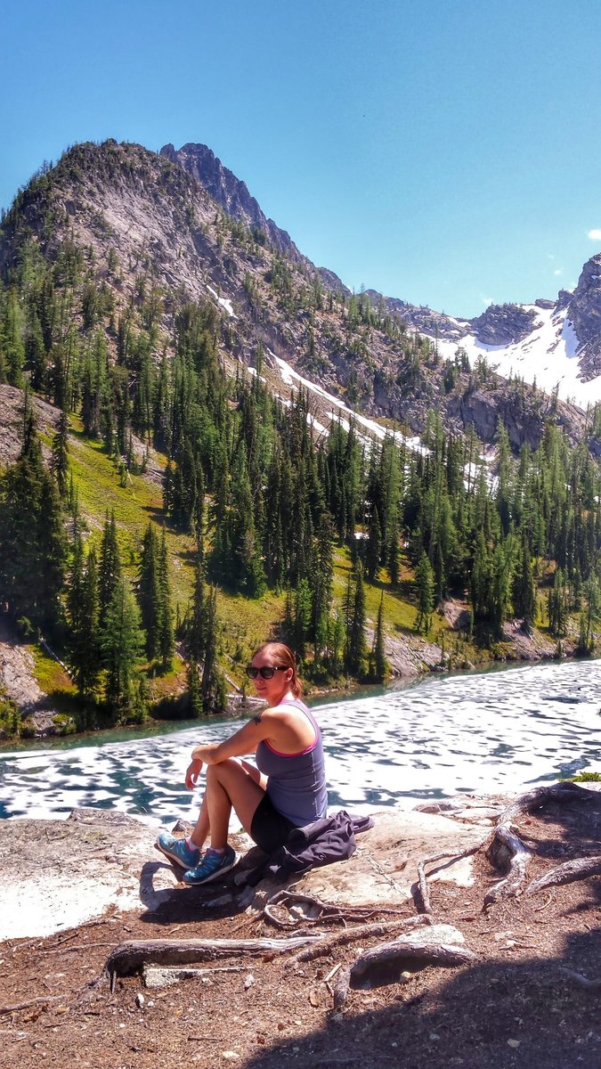
Blue Lake, North Cascades NP
4 miles of hiking • 1000' elevation gain • 1 night
An easy, rewarding hike to a beautiful blue lake set in a lovely cirque below the rocky Early Winter Spires and the Liberty Bell. It was still half frozen over, but fish rippled in the open parts, feasting on mosquitoes. There was an old cabin right on the lakeshore from days long gone.
June 16 – June 17, 2015

.jpg)
.jpg)
.jpg)
.jpg)
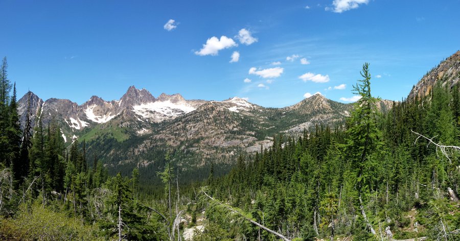
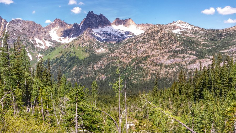
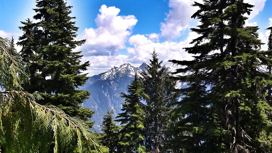
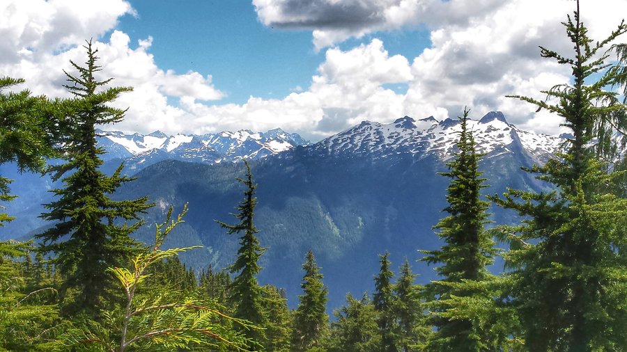
Maple Pass Loop - North Cascades NP, WA
7.5 miles of hiking • 2000' elevation gain • 1 night
Amazing dayhike to the top of Maple Pass, w/ a sidetrip to Lake Ann. Wonderful meadows w/ glacier lillies just starting to pop, pasque flower, etc. The views were awesome, and so were the little larch trees along the way. I bet they are stellar in the fall. Snow blocks the upper reaches of the trail, but it's not too deep or soft so it's pretty easy to traverse the steep snowfields as long as you use poles and/or microspikes.
June 15 – June 16, 2015

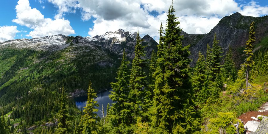
Thornton Lakes, North Cascades Nat'l Park
13 miles of hiking • 3000' elevation gain • 1 night
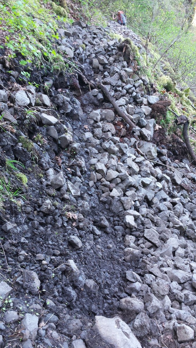
Absolute butt-kicker of an intro to North Cascades. The trail starts out gently enough on a smooth grade for 2 miles before jolting vertically upward, ala Gorge trails like Nesmith or Wyeth. Continuous climbing through the trees with sparse and blocked views of jagged peaks (Picket Range) across the valley. It eventuallly crests at the base of Trapper Peak, which we didn't have the time or energy to do. Instead, we headed for camp, almost 500' below, over 3/4 mile in the lake basin. Steeper still! Not to mention the terribly eroded trail, thick brush, and class 3/4 scramble over massive boulders and a log jam to reach the designated camps in a buggy hole in the brush with no views at all. Absolutely terrible camps if you don't snag the best one before someone else. The upper lakes are absolutely beautiful if you can do the scrambling and navigate the thick brush and do some routefinding, as there are lots of user trails that go nowhere. Back out the way you came, and you better save some energy for the climb out of the lake basin, because it's a killer in the sun. Trapper peak will have to be some other trip!
June 13 – June 14, 2015

.jpg)
.jpg)
.jpg)
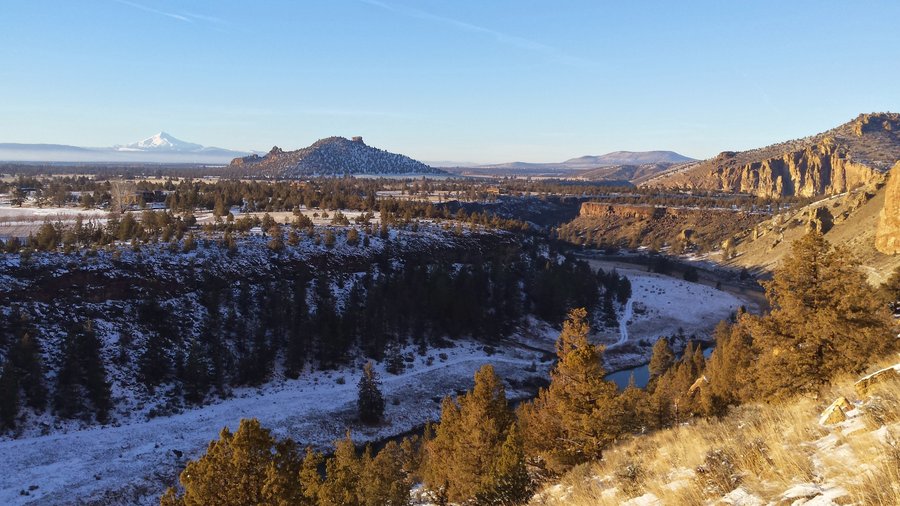
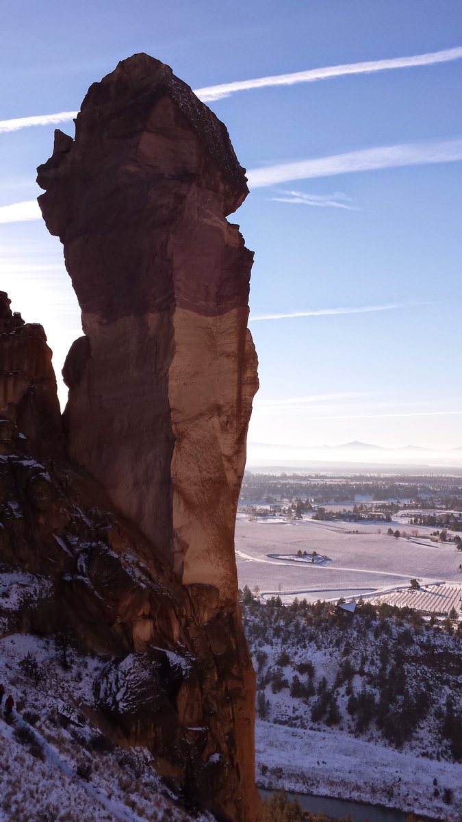
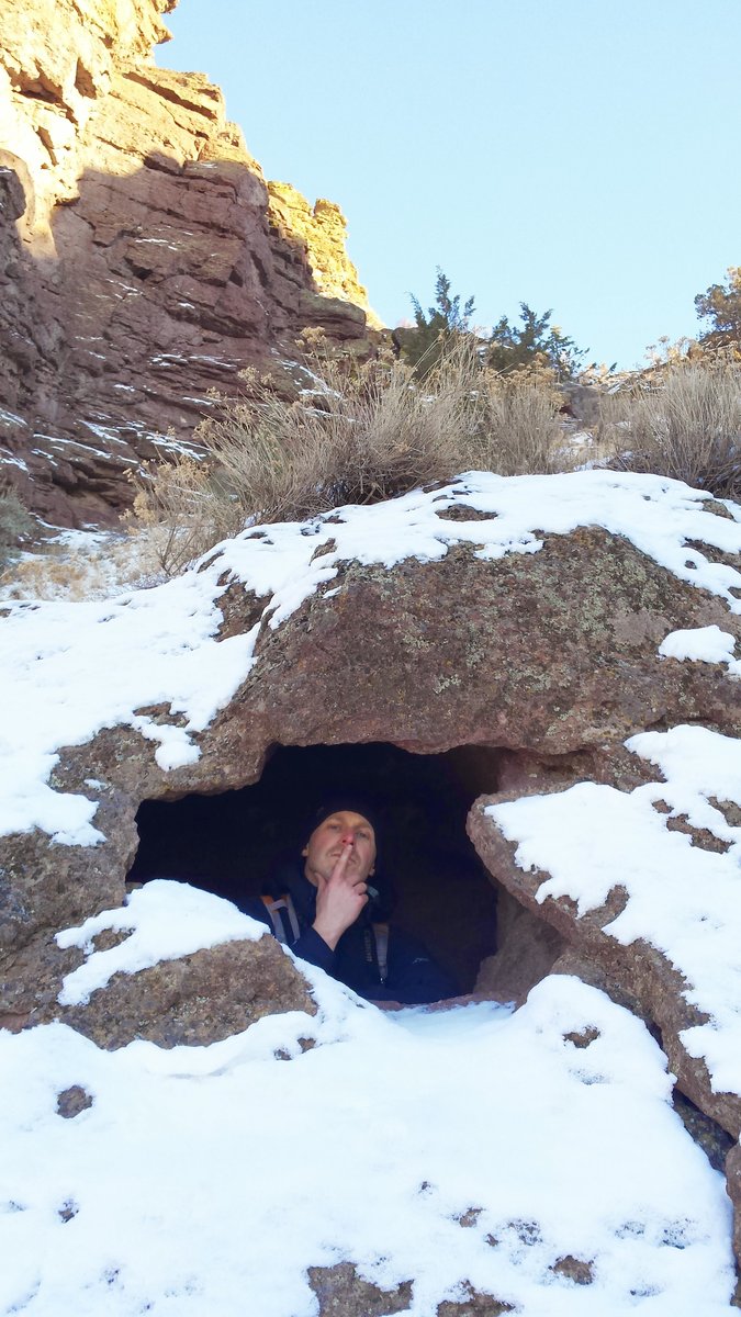
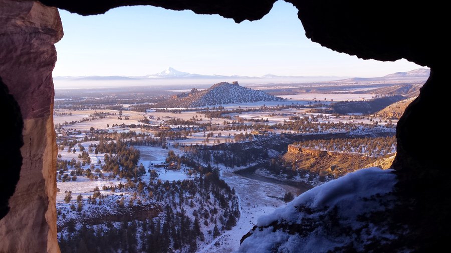
 1
1
June 6 – June 7, 2015

.jpg)
.jpg)
.jpg)
.jpg)
.jpg) 3
3
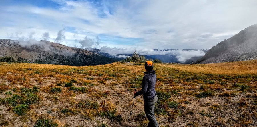
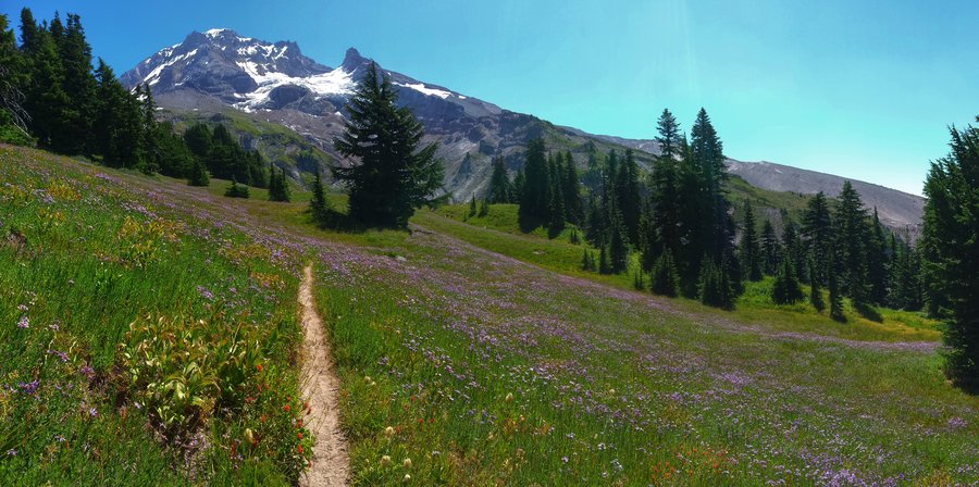
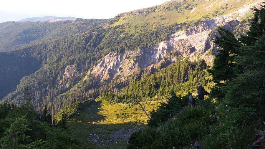
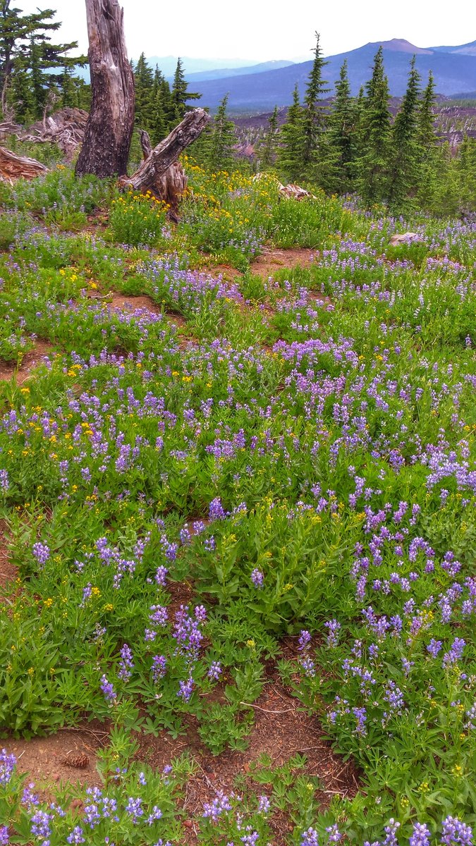
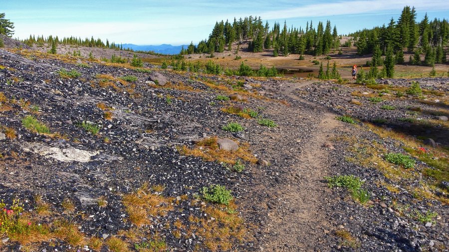
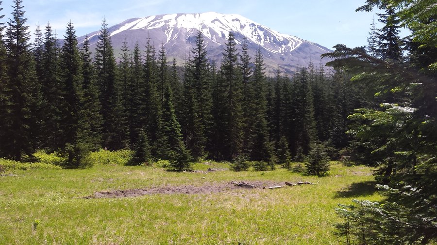
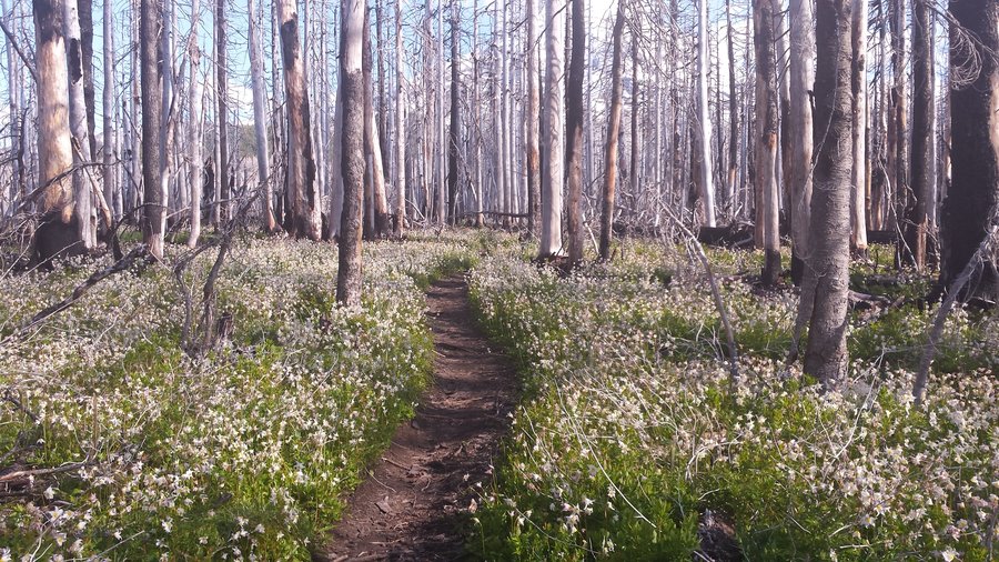
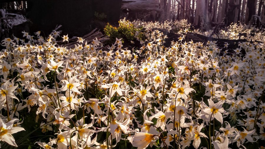
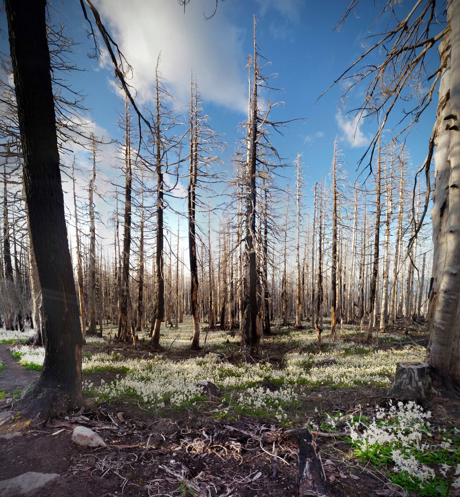
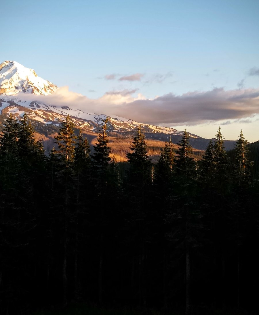
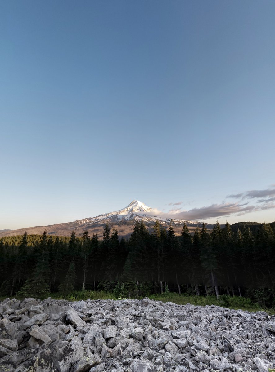
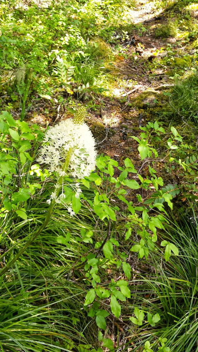
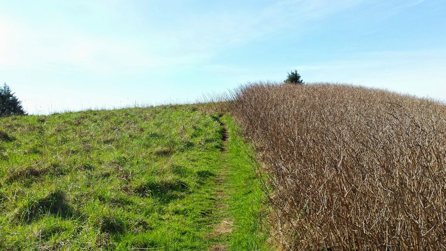
Vista Ridge to Cairn Basin/Eden Park/Rockpile Viewpoint
11 miles of hiking • 2500' elevation gain •
June 5, 2015


.jpg)
.jpg)
 1
1
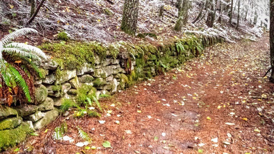
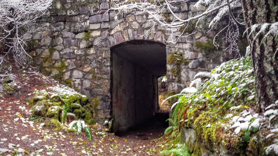
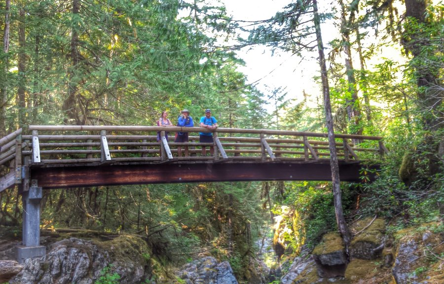
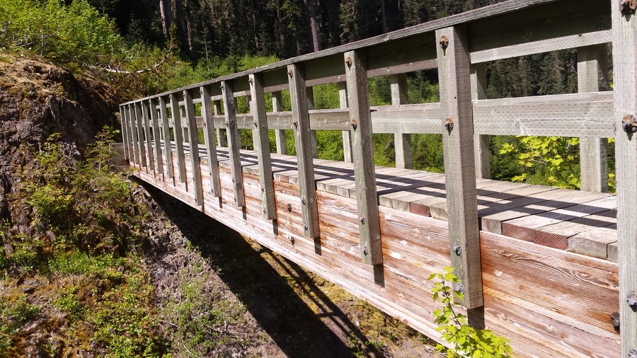
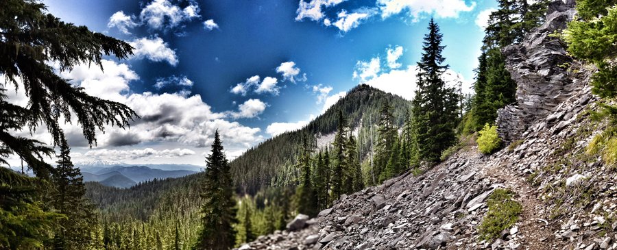
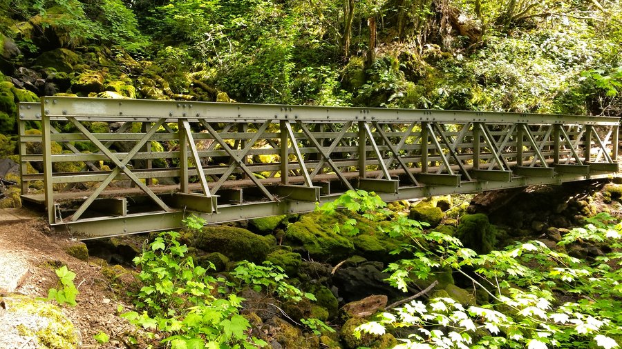
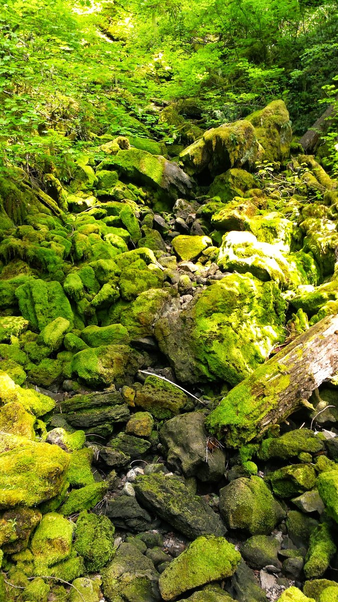
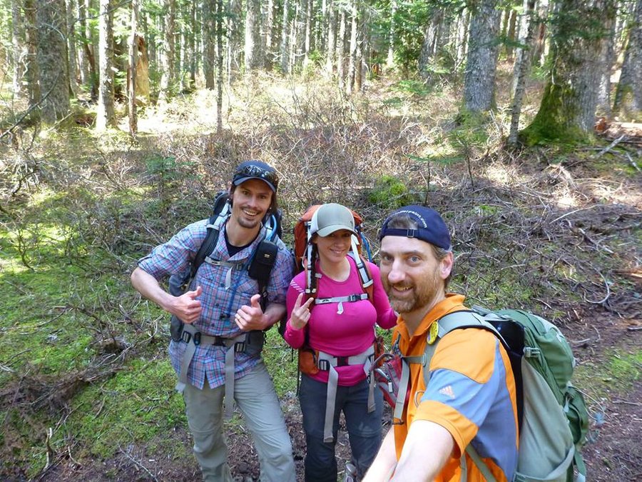
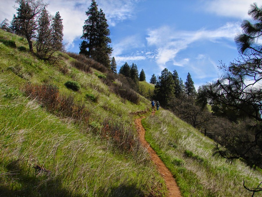
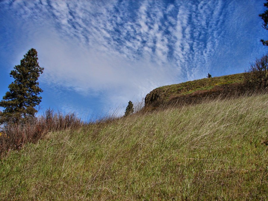
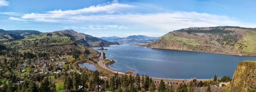
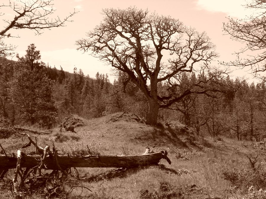
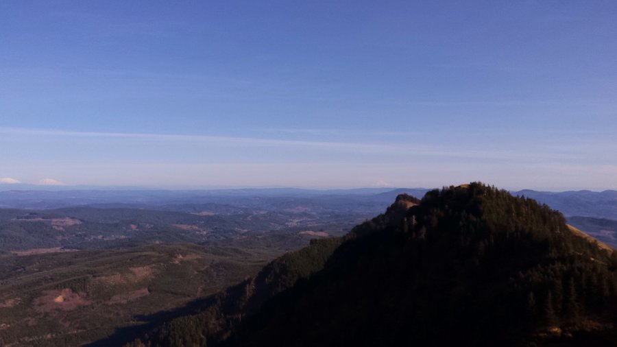
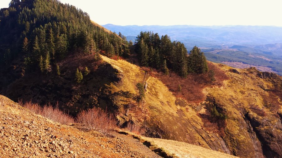
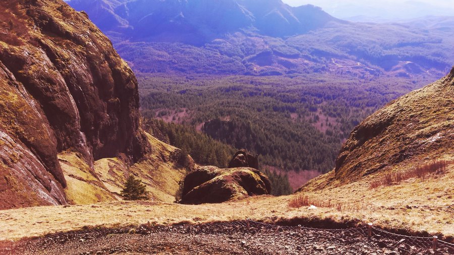
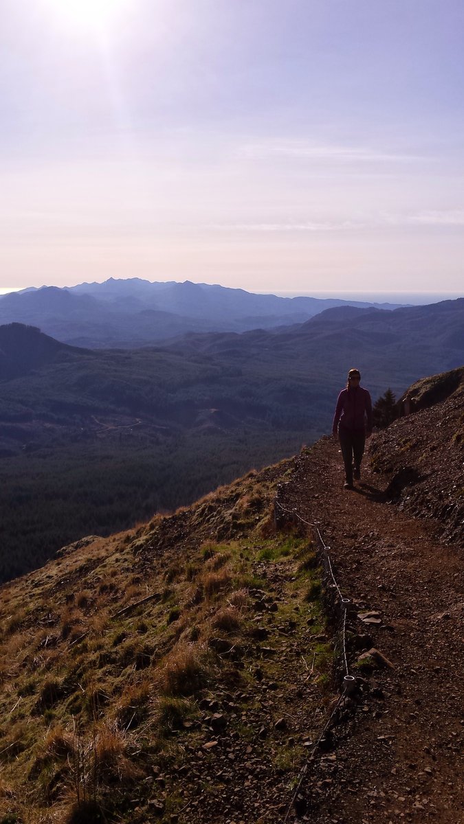
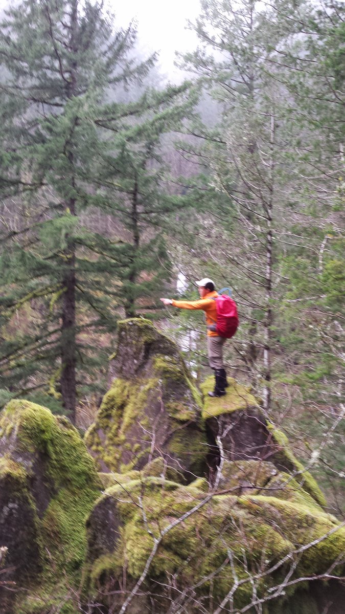
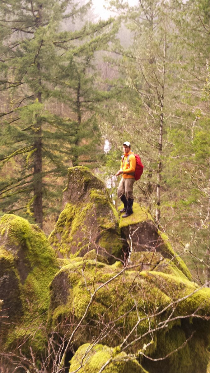
Hamilton Mountain Loop
9.5 miles of hiking • 2500' elevation gain •
First time doing the "official" trail to the summit. Lots of people, lots of flowers and muggy and humid as hell. Great workout, and had a good time with the wife. There are lots of little trout in the culvert at the far end of the loop in Hardy Creek. Pollution in the Gorge in the form of a low hanging smoggy ceiling was very apparent and very disappointing. So much for a "scenic area". Returned via Hadley trail to see "Little Beacon Rock" and an what I believe was an amazing petrified tree stump, with a plaque embedded in it, "The Hadley Grove". Such a nice surprise!
May 31, 2015

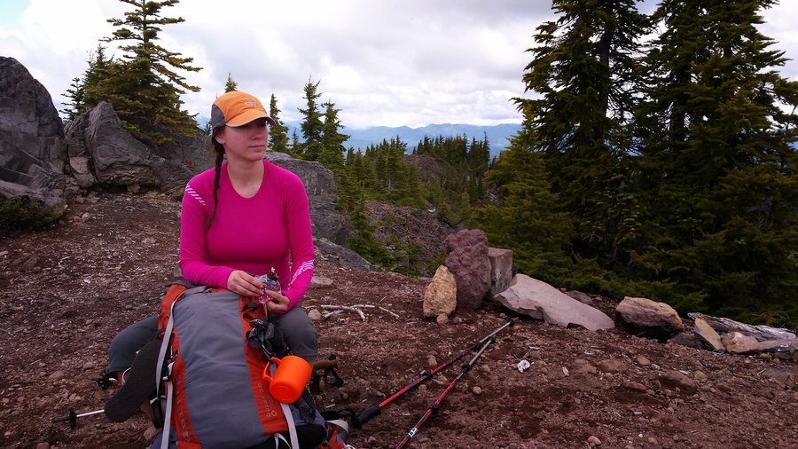
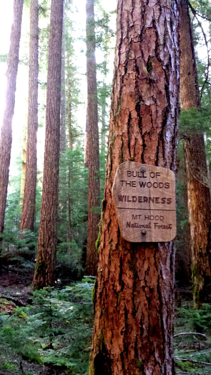
Twin Lakes Loop - Bull of the Woods Wilderness
22.5 miles of hiking • 6250' elevation gain • 2 nights
Trip report on OH: http://www.oregonhikers.org/forum/viewtopic.php?f=8&t=21805
May 23 – May 25, 2015

.jpg)
.jpg)
.jpg)
.jpg) 3
3
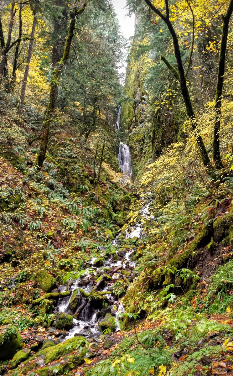
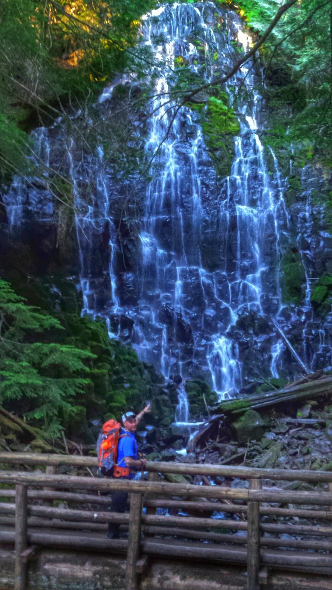
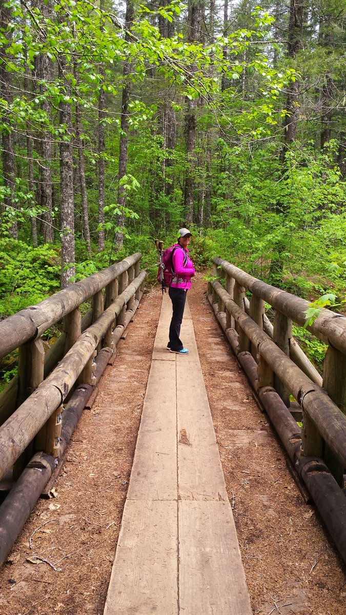
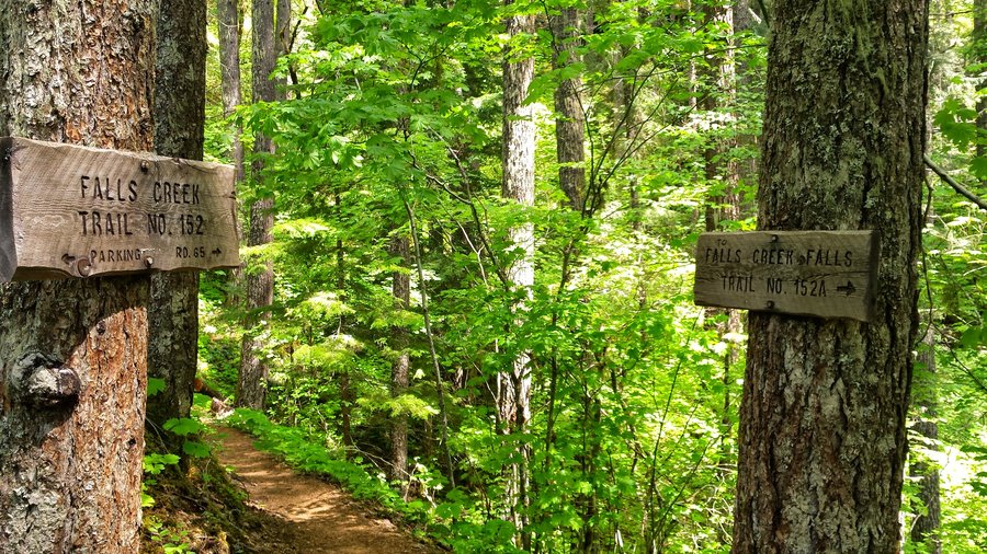
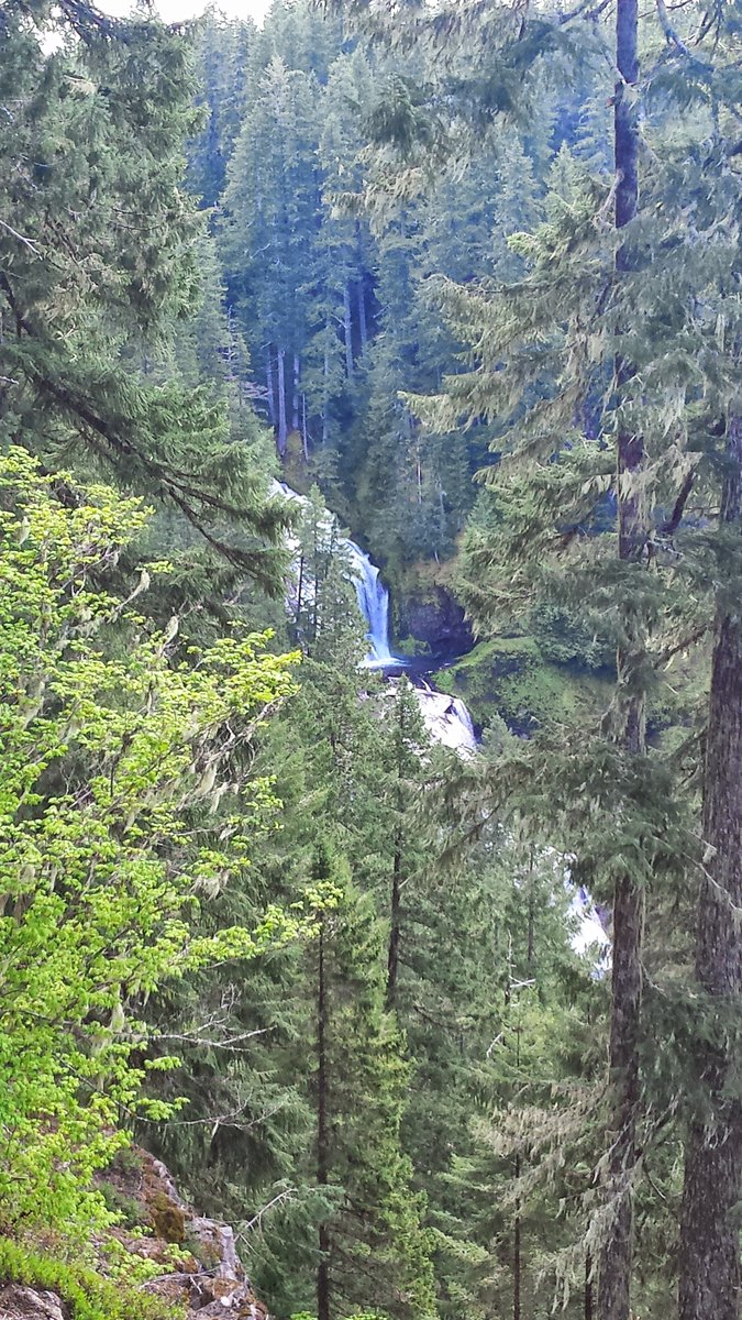
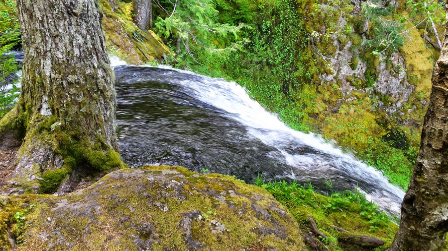
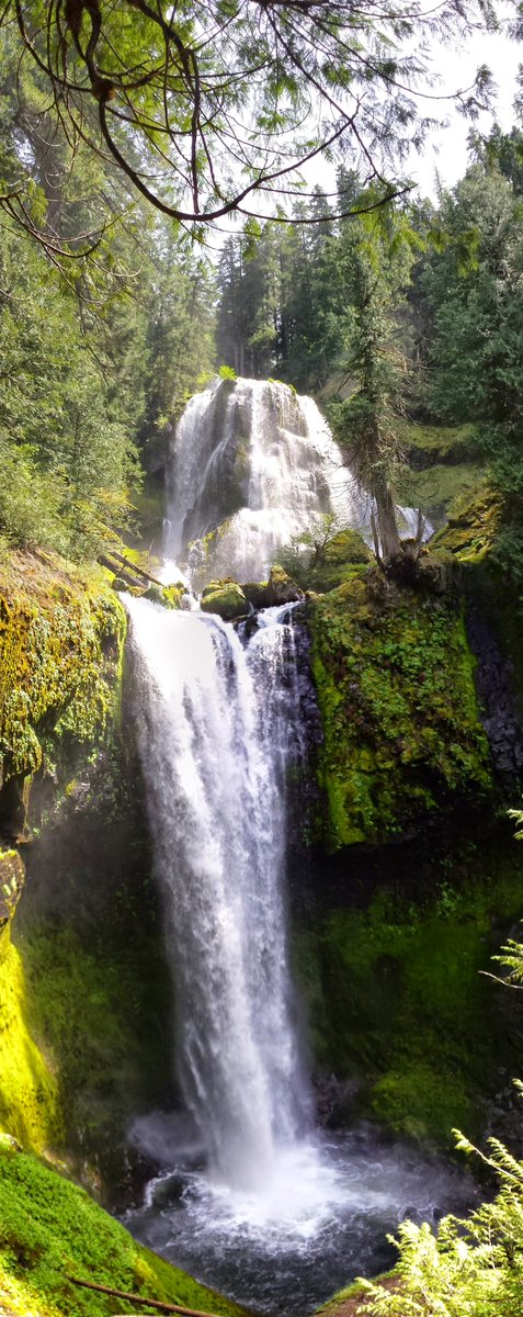
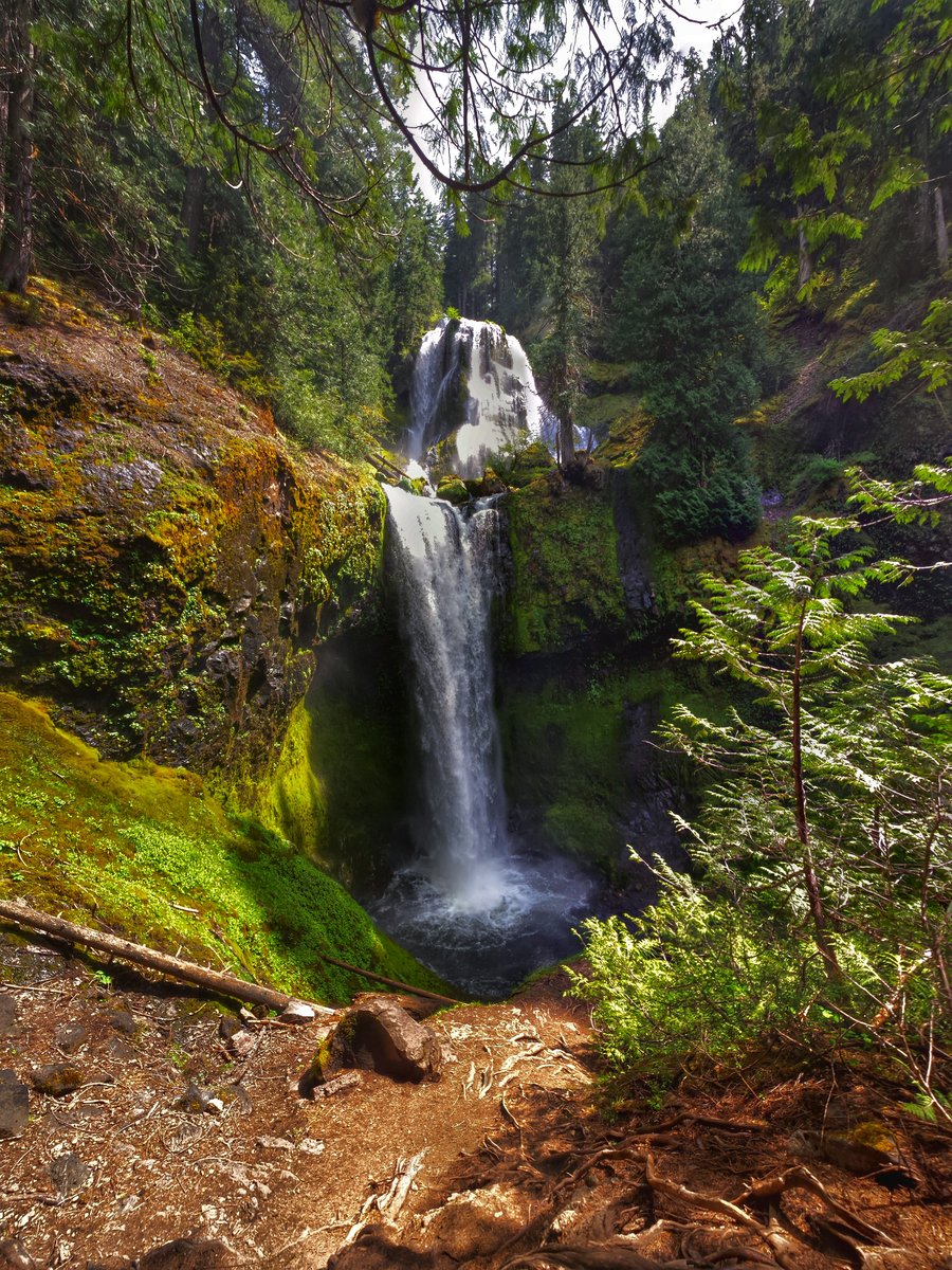
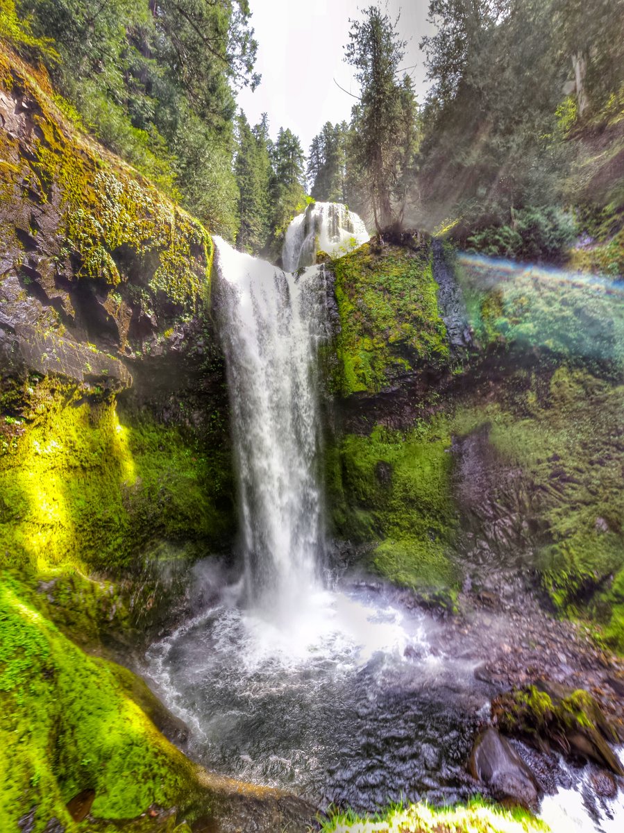
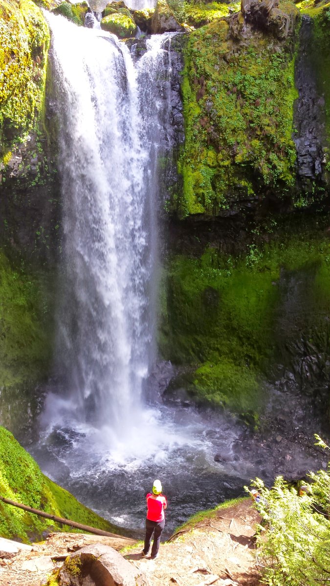
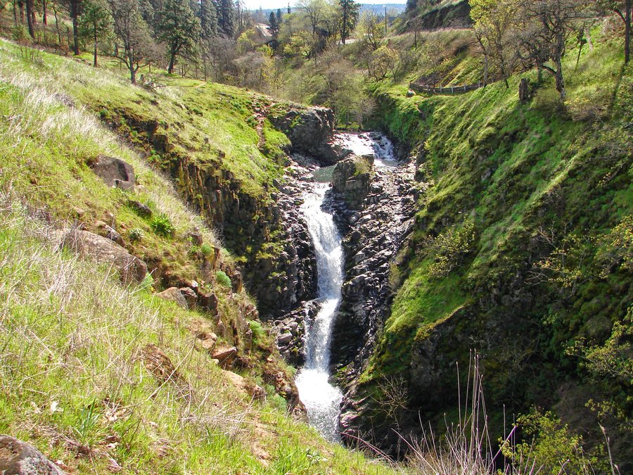
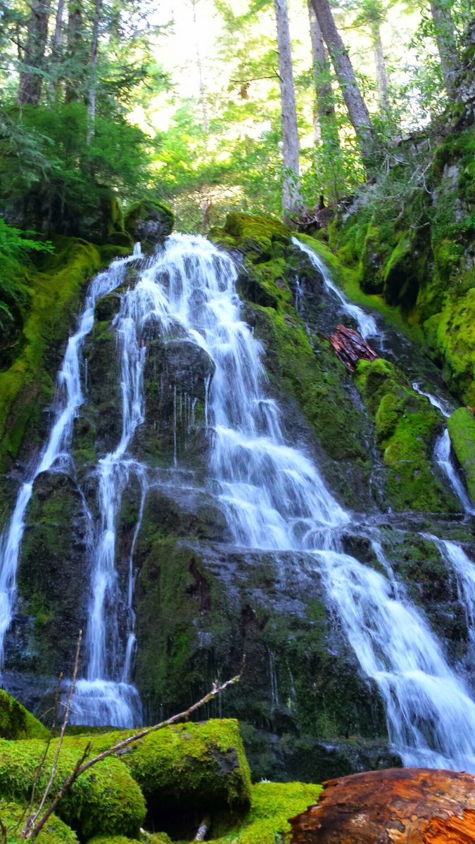
Falls Creek Falls Loop
7 miles of hiking • 1500' elevation gain •
Wonderful waterfall hike! This falls is super killer.
May 17, 2015

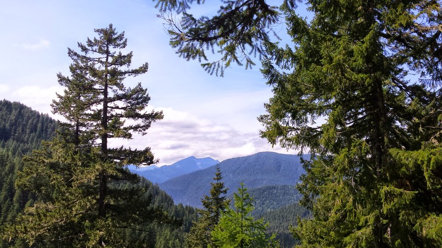

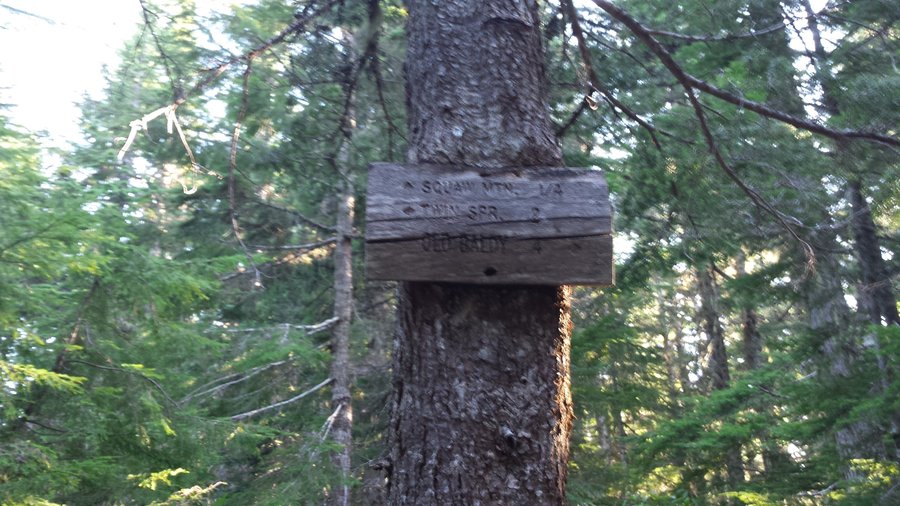
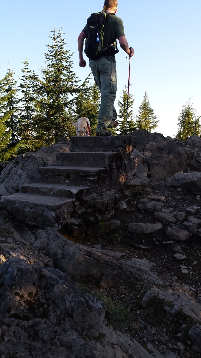
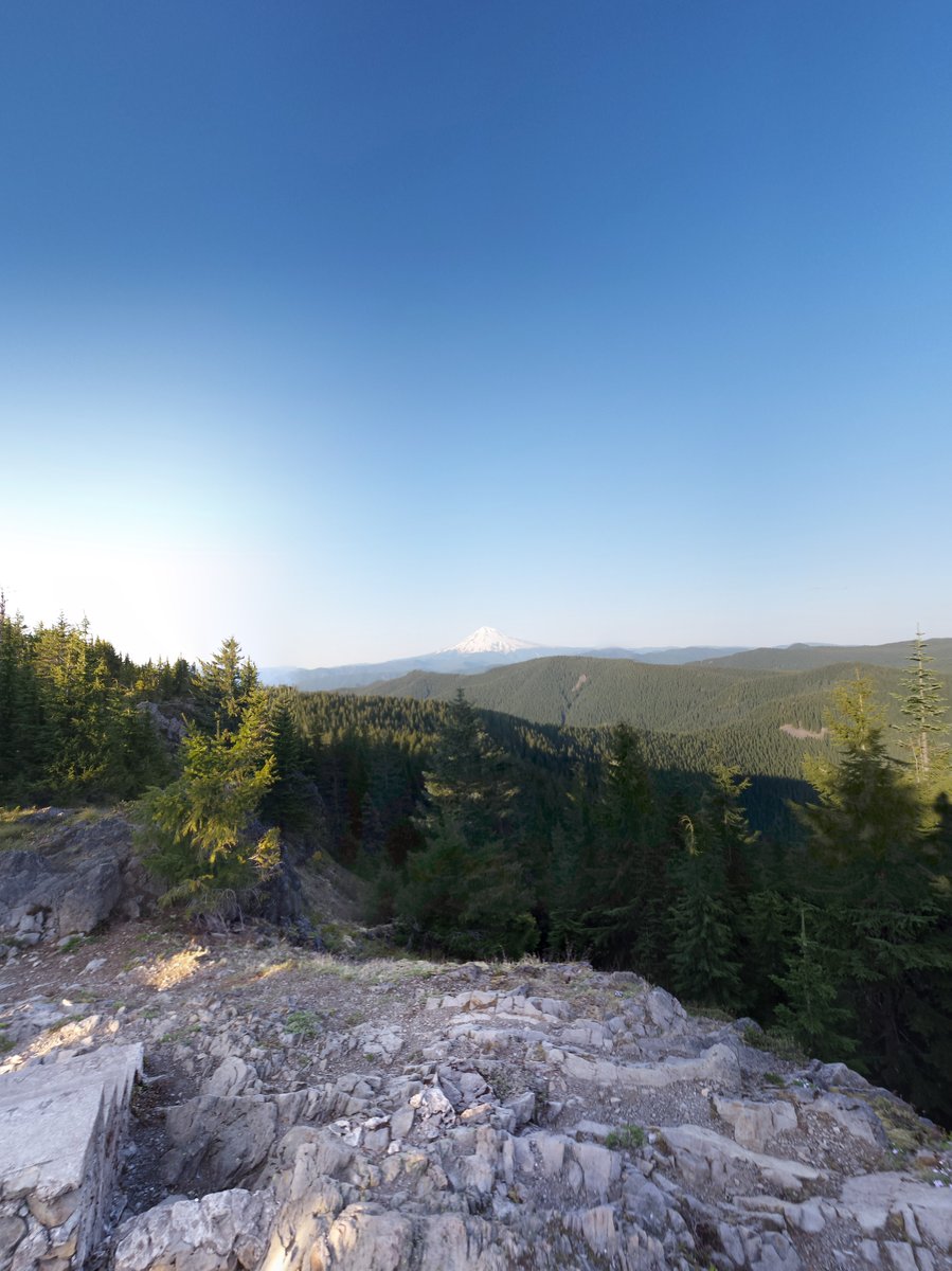
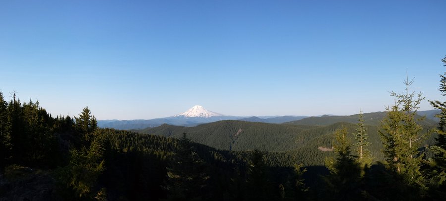
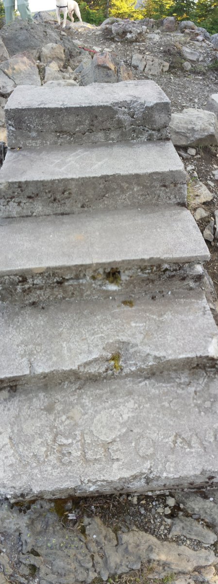
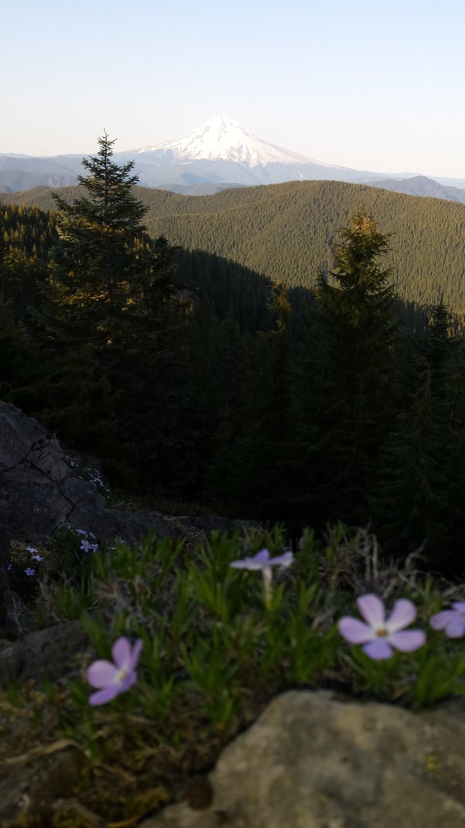
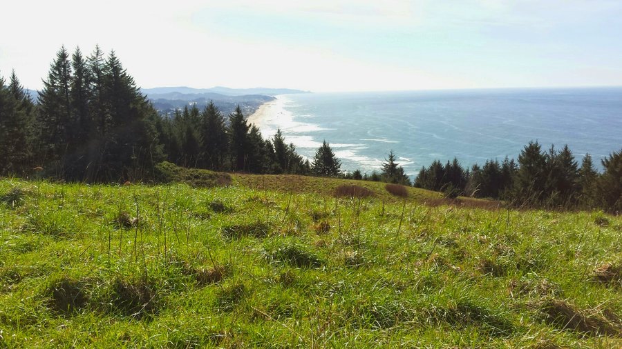
Tumala Mountain via Fanton Trail
7 miles of hiking • 1750' elevation gain •
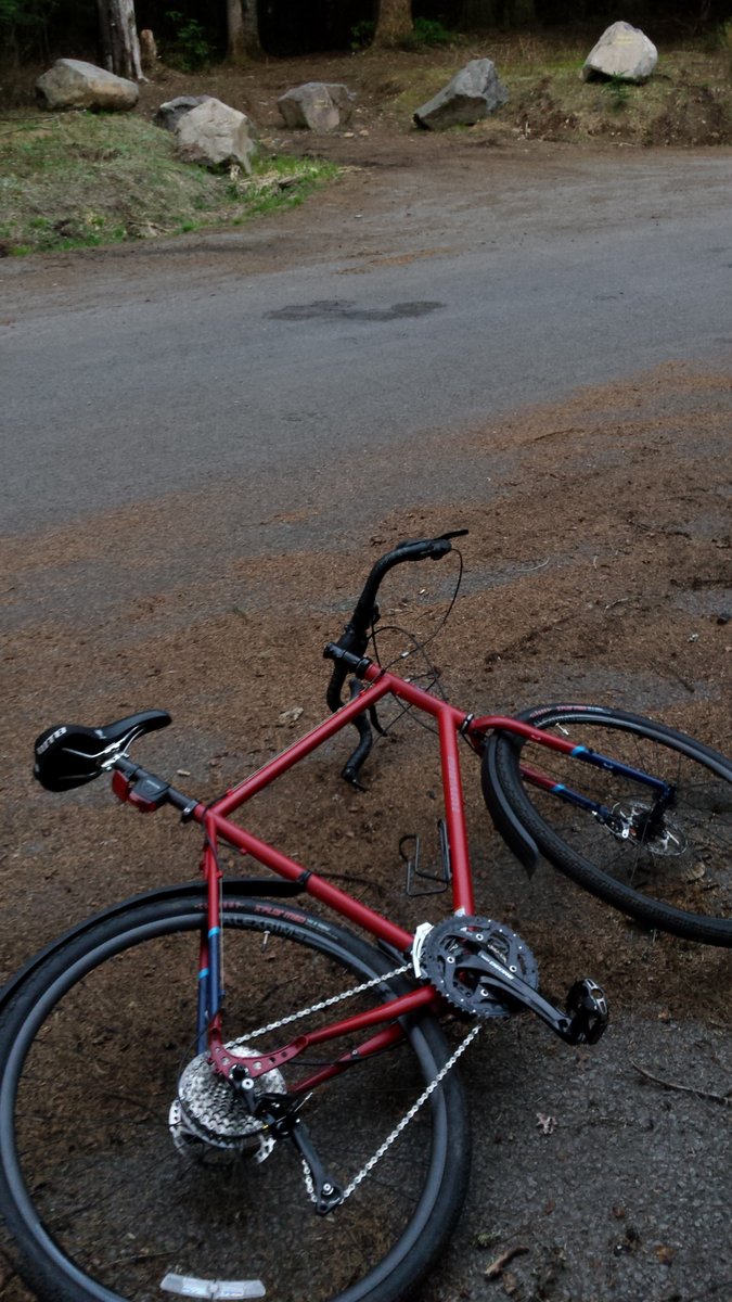
After work bike n hike w/ Johnny. We dropped bikes off at Old Baldy TH, drove down and parked at one of the upper Fanton crossings; then hiked up to Tumala (Squaw) Mtn. There is an old lookout site up there, complete with steps to nowhere, "Welcome" carved into the concrete. Incredible views to the East, including Mt's Hood, Jefferson, Three Sisters, etc. Walking to the South Side of the ridge, you can see spectacular views back towards Portland and even into the Coast range, Mt Rainier, St Helens, etc. After hiking back to the old road, logging a geocache, and back to the Old Baldy TH, we rode bikes downhill all the way back to the car. Awesome evening!
May 8, 2015

.jpg)

May 1 – May 3, 2015
 2
2
April 26, 2015

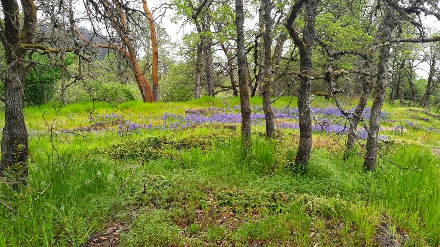
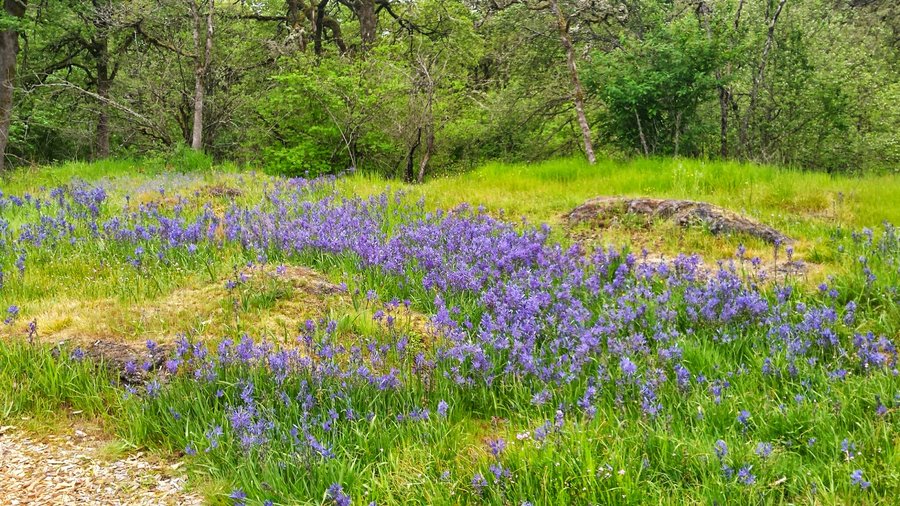
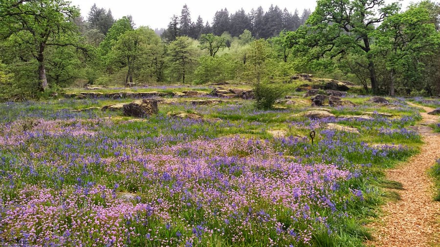
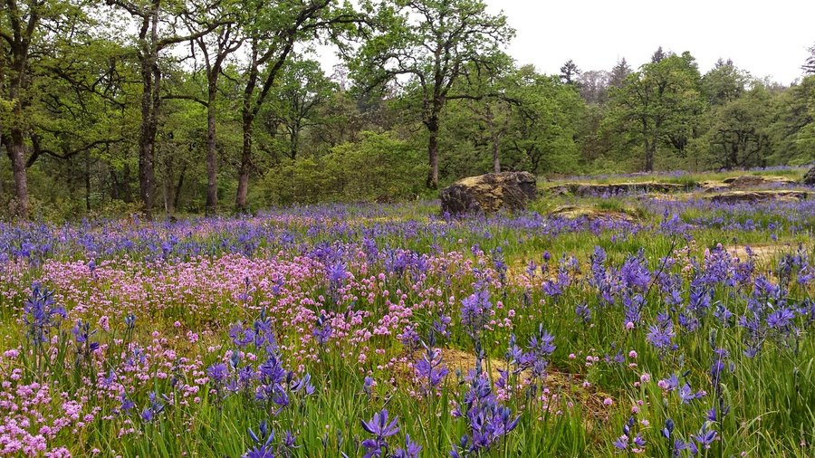
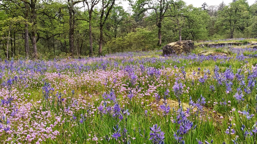
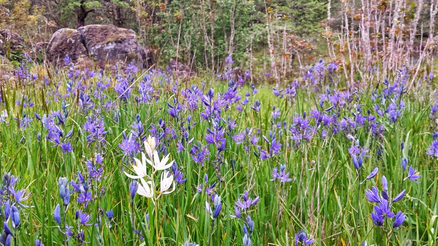
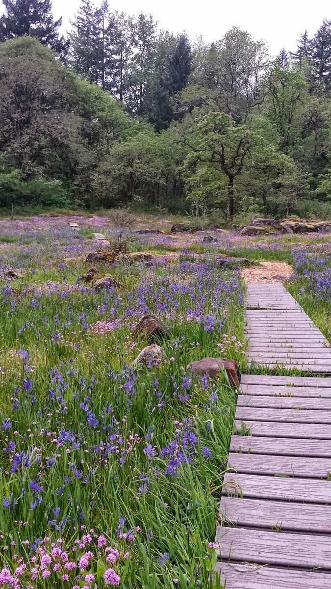
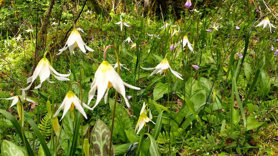
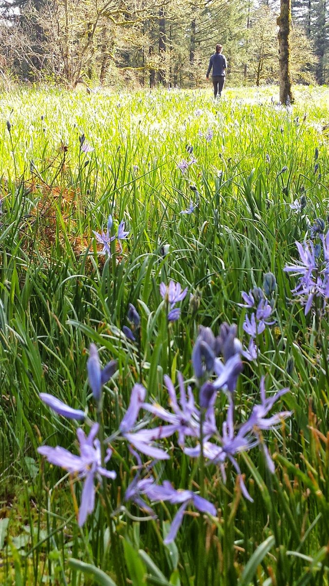
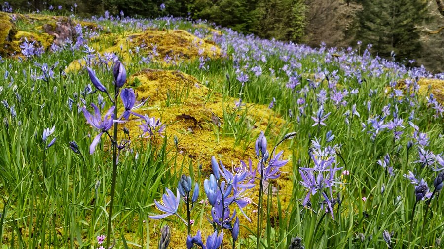
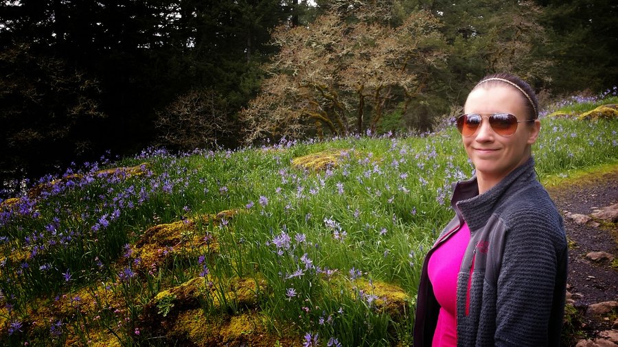
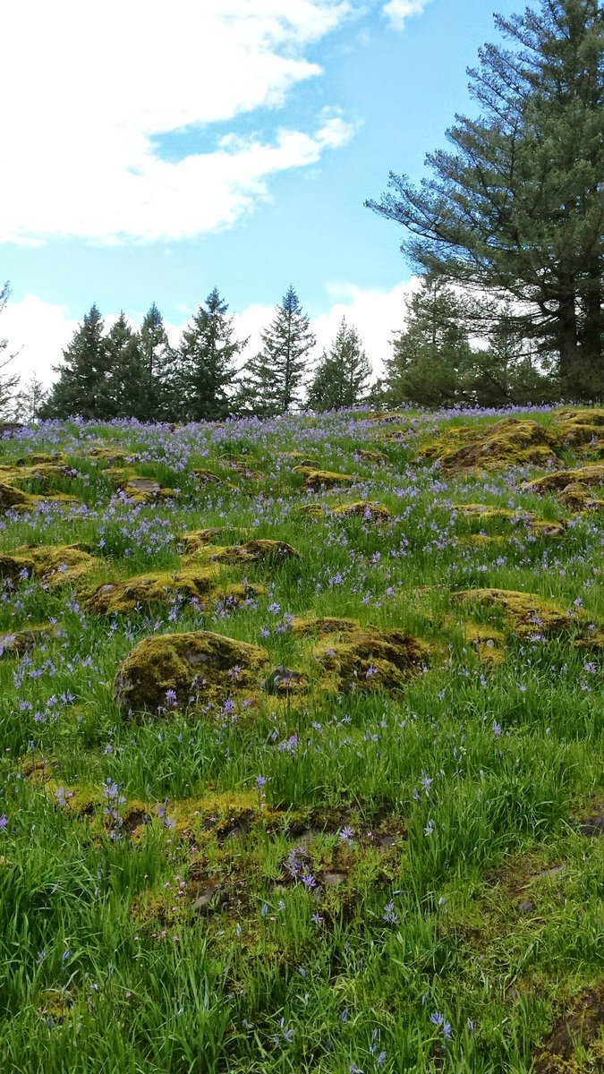
Camassia Natural Area
2.5 miles of hiking • 250' elevation gain •
After work exploration of this little known but fantastic spot when the flowers are in bloom. Saw alot of birds too, including my first sighting of a Rufous Hummingbird.
April 21, 2015

April 15 – April 16, 2015


.jpg)


Powell Butte/Kelly Butte
2 miles of hiking • 500' elevation gain •
What a weird place. All kinds of no trespassing signs up there, not sure why or if it's even legal in a city park to make it off limits, but there was lots of evidence of homeless camps and they are still constructing a covered reservoir up there. So many things buried underground here, like an underground armory and nuclear bunker, now a reservoir!
April 6, 2015

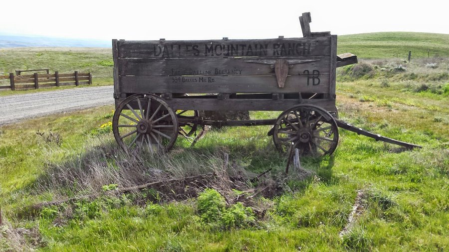
DMR-Crawford Oaks TH
9 miles of hiking • 1750' elevation gain •
Great spring hike w/ Steve, Matt M, Kara & Matt T.
April 5, 2015

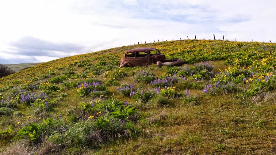
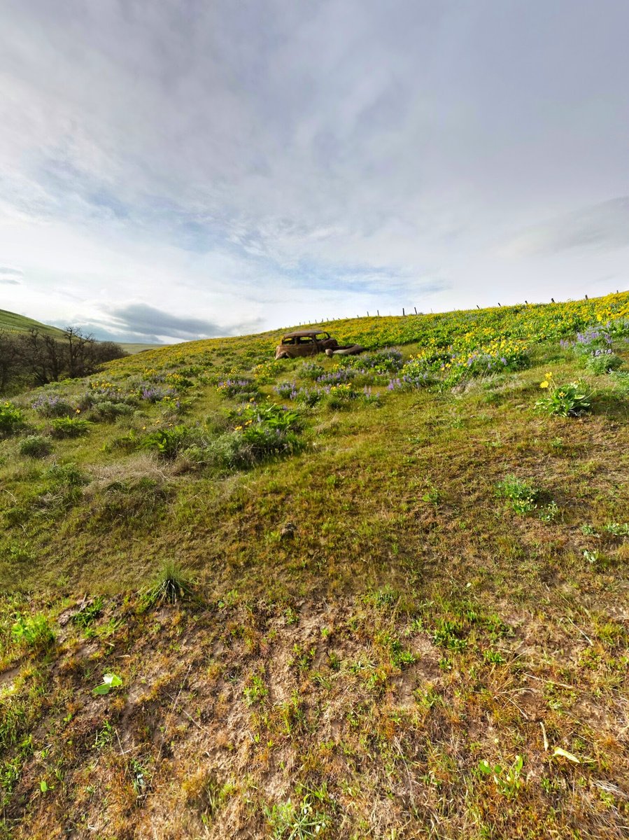
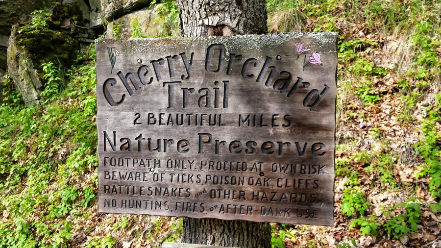
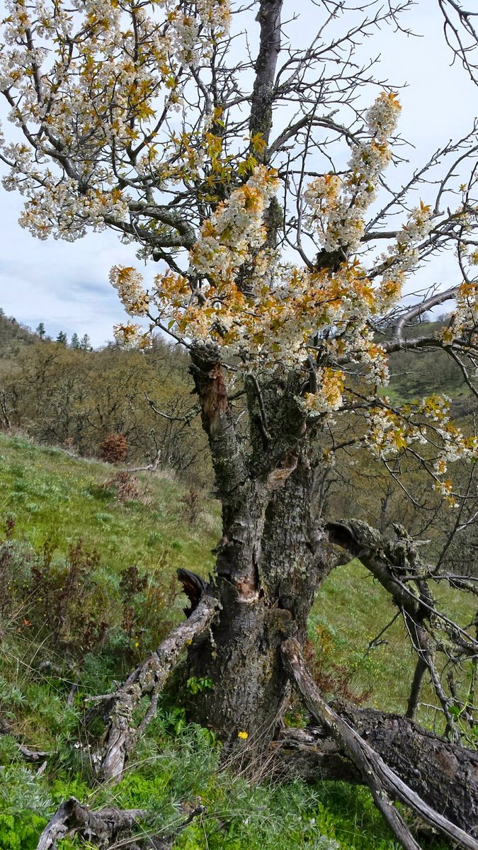
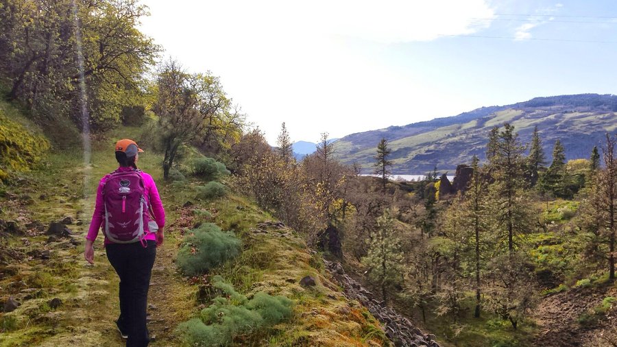
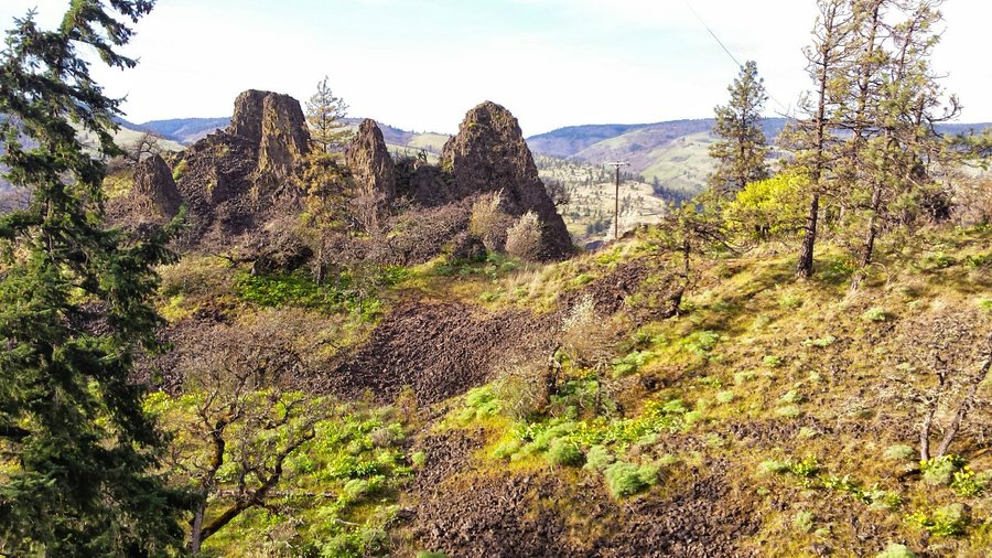
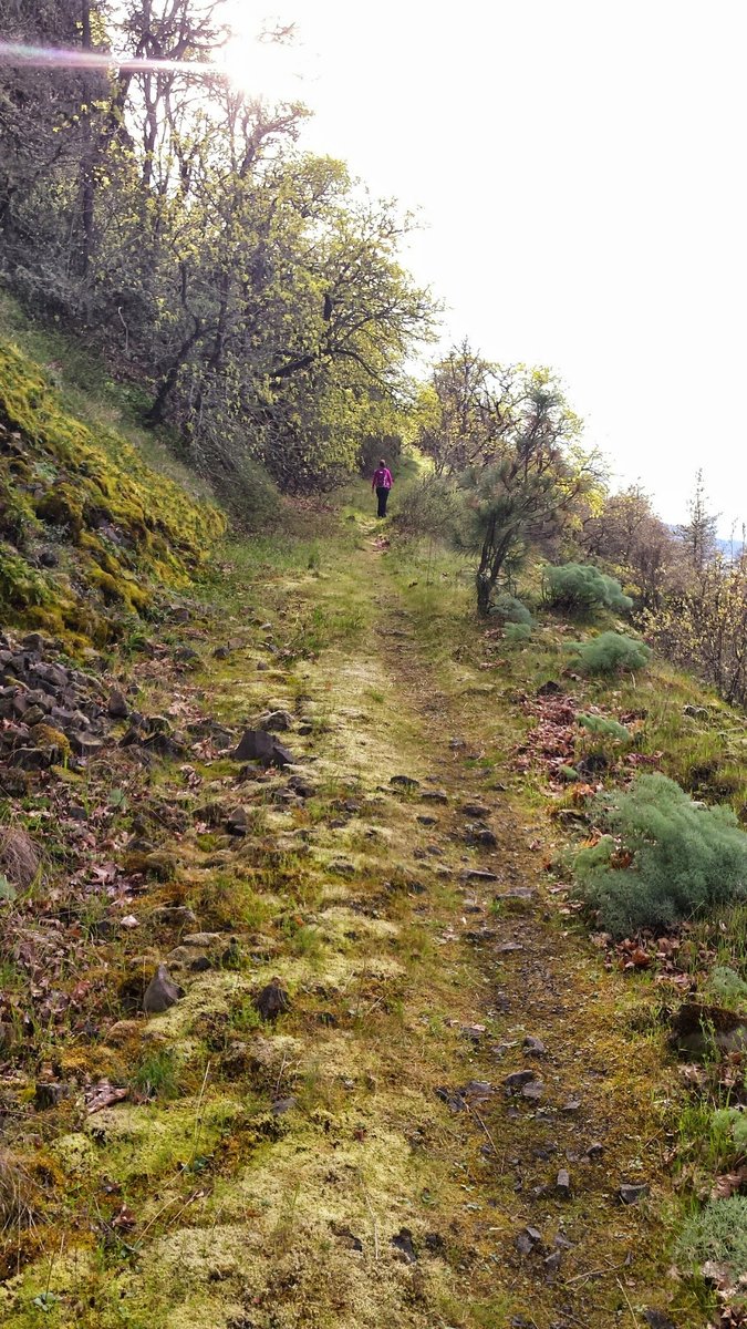
Lyle Cherry Orchard
5 miles of hiking • 1000' elevation gain •
The old trees (2 of them) are still blossoming! Amazing!
April 5, 2015

 1
1
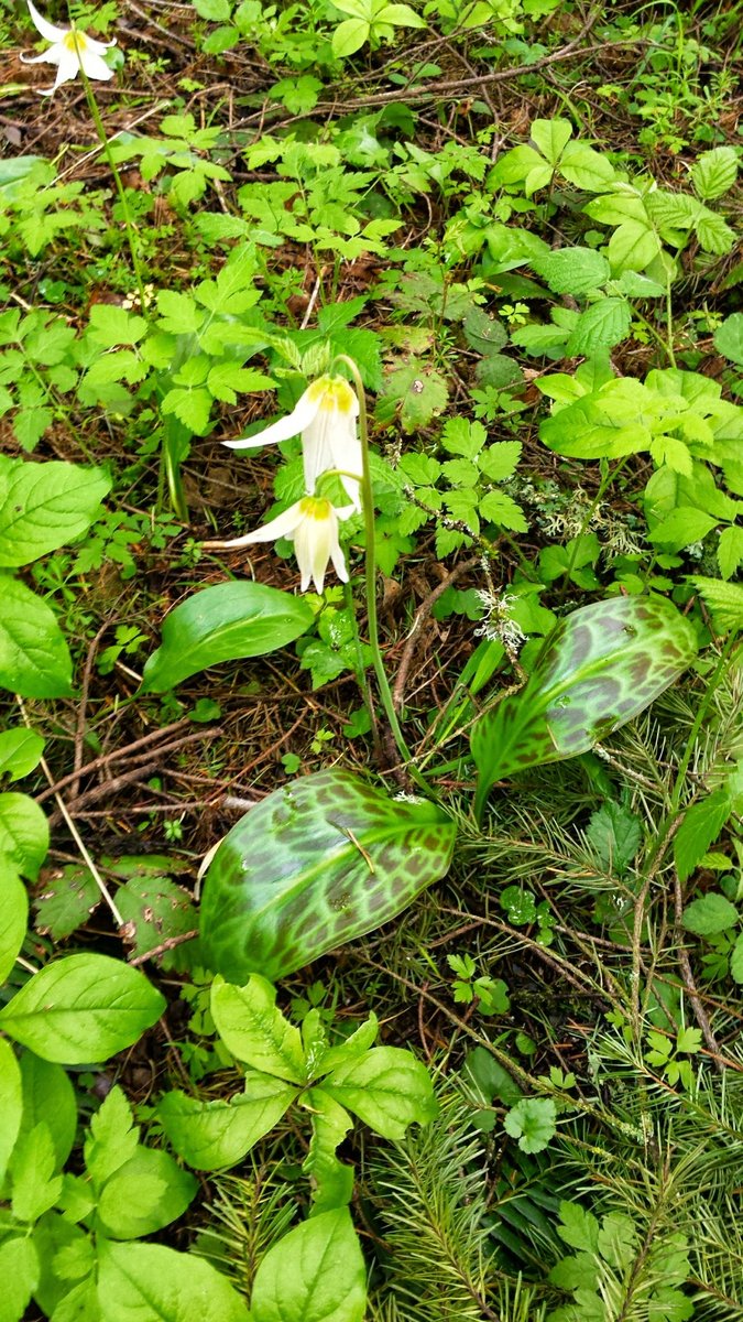
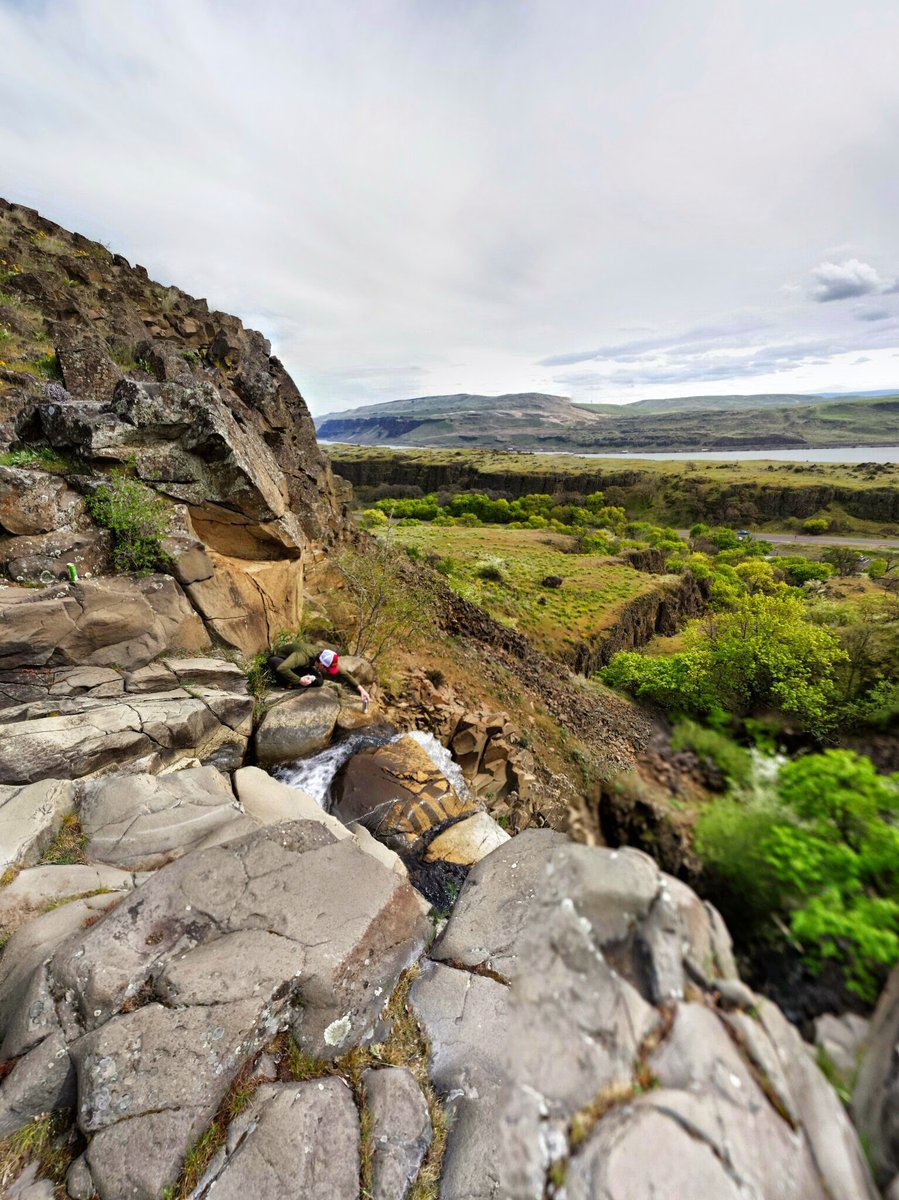
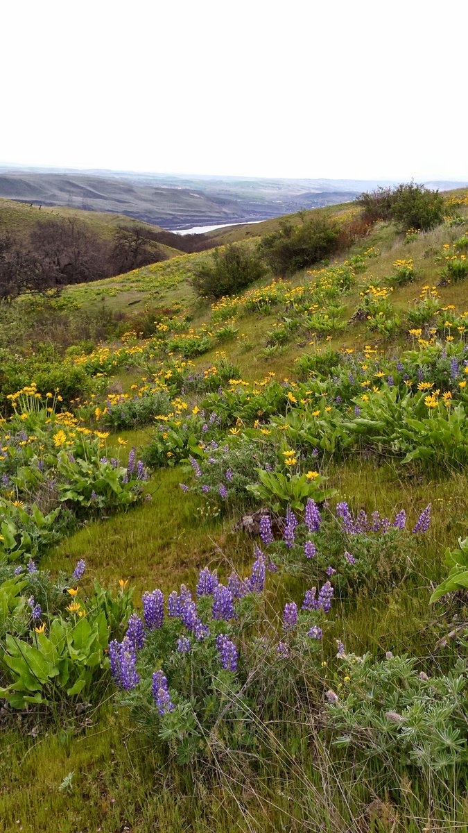
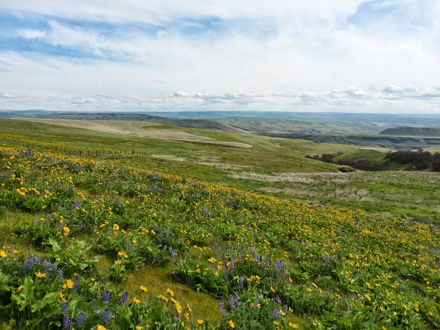
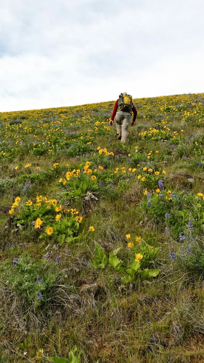
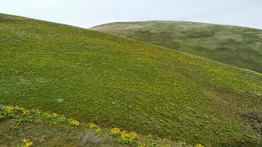
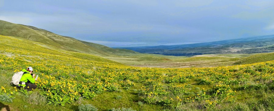
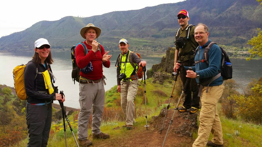
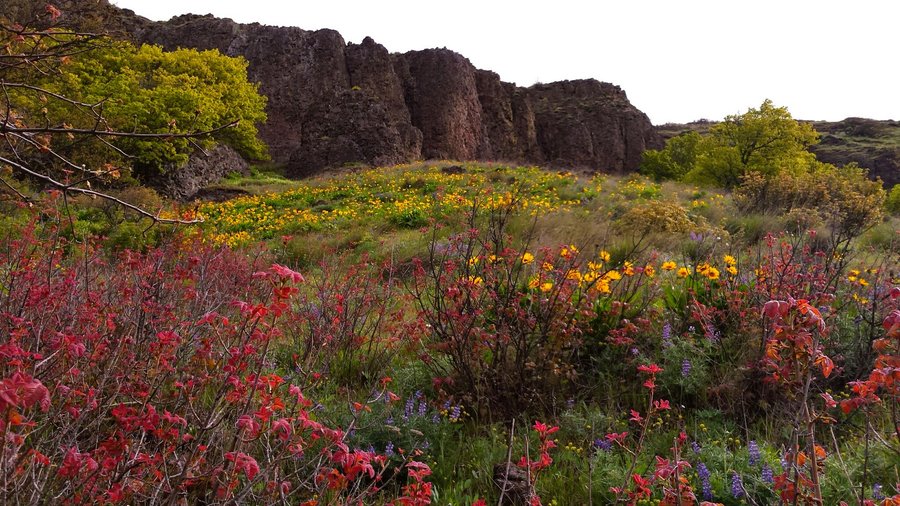
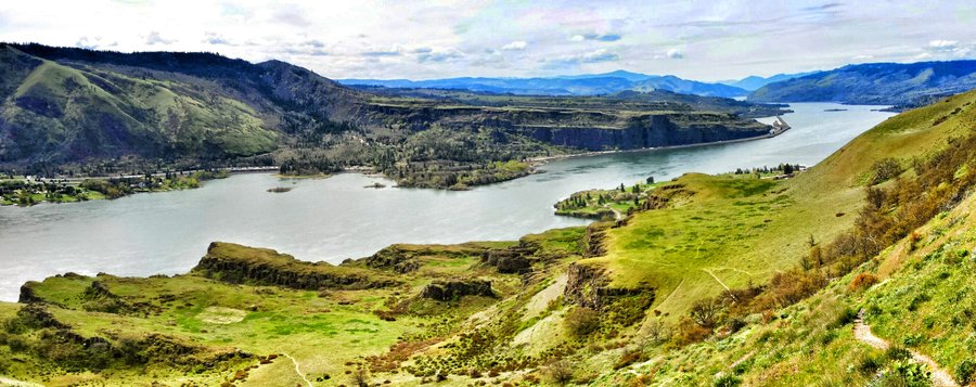
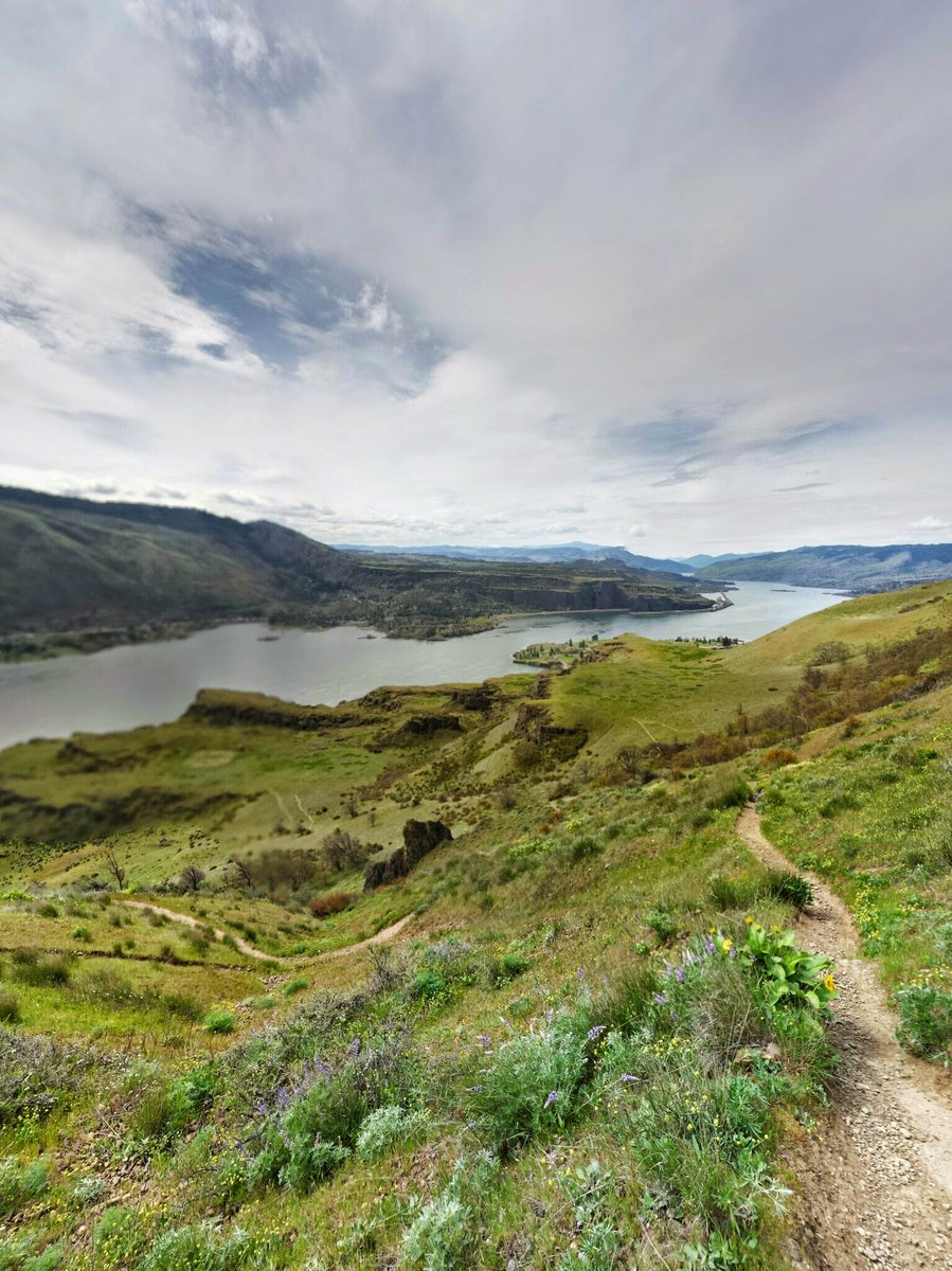
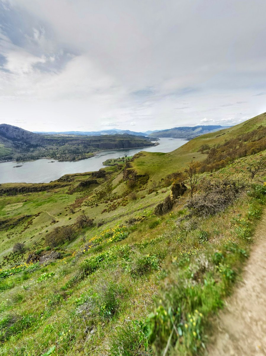
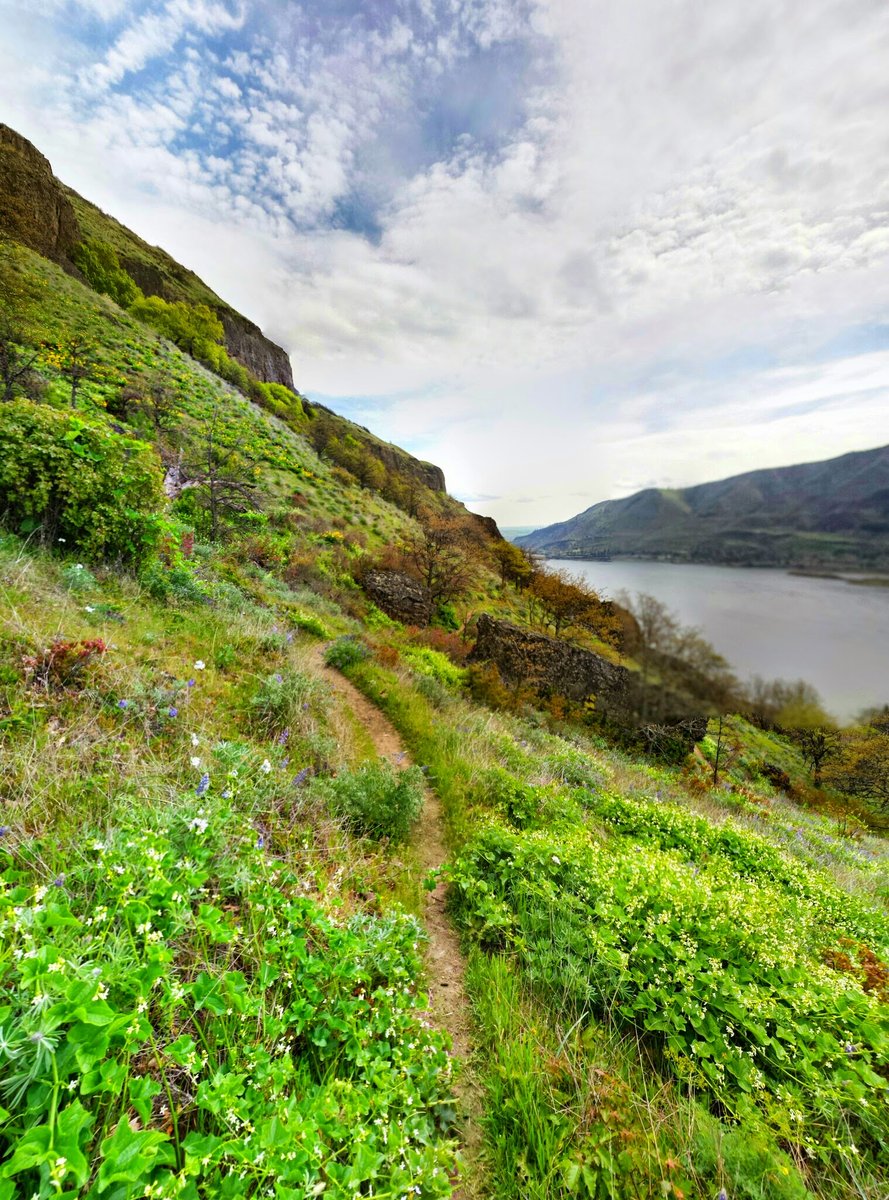
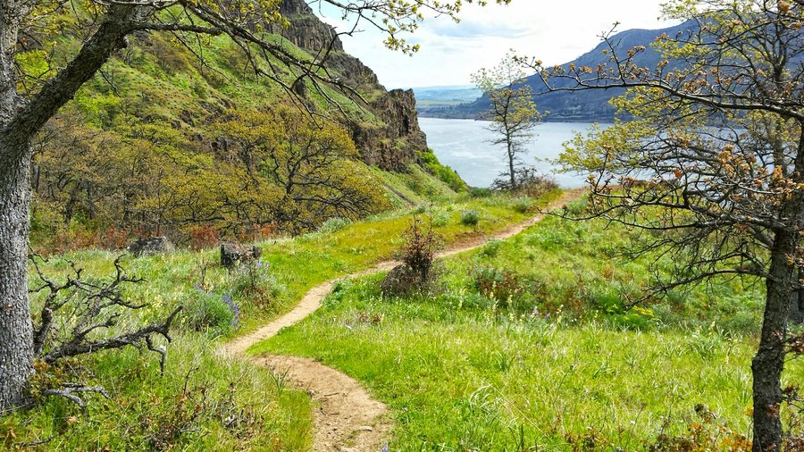
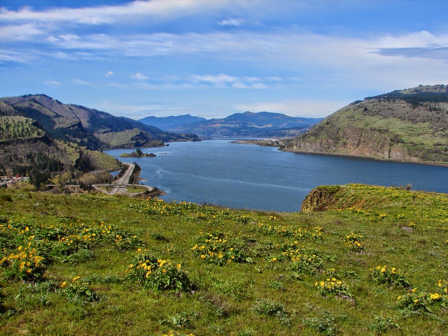
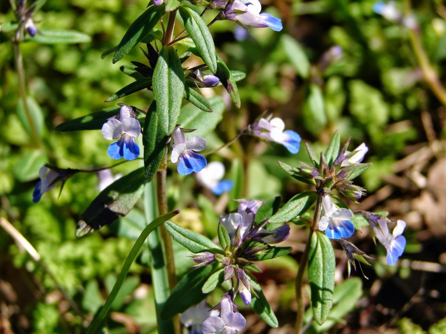
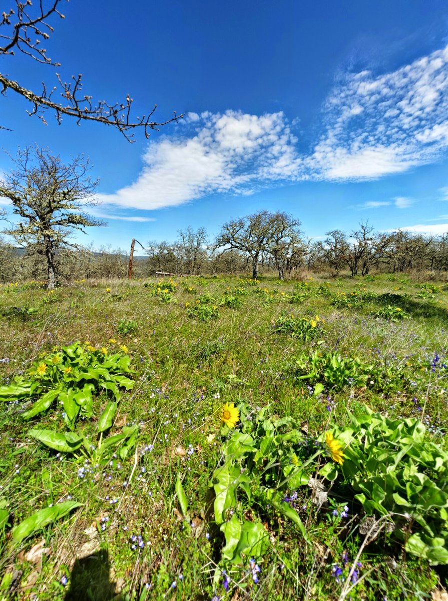
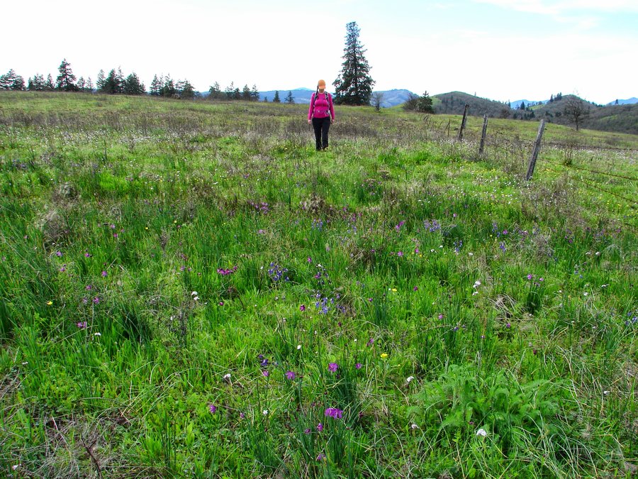
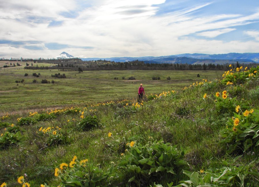
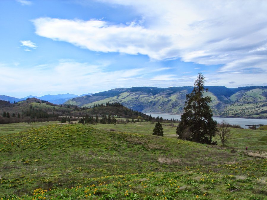
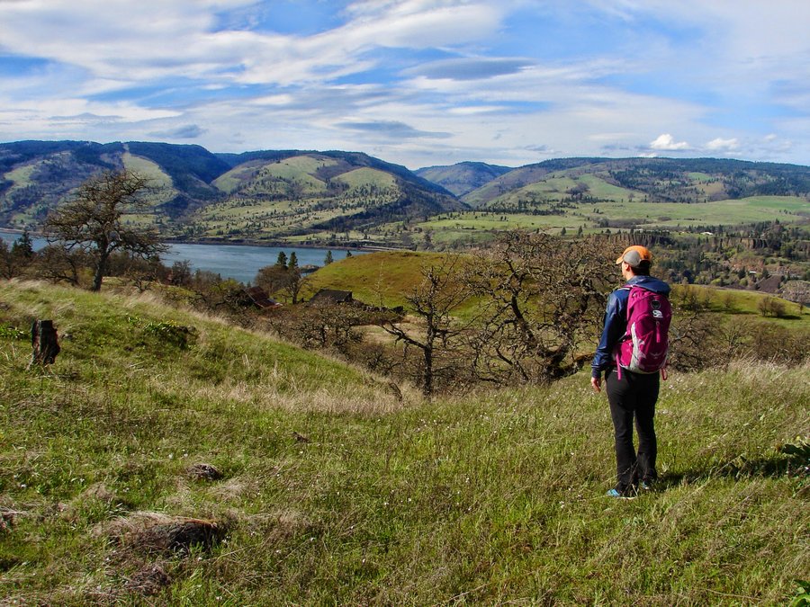
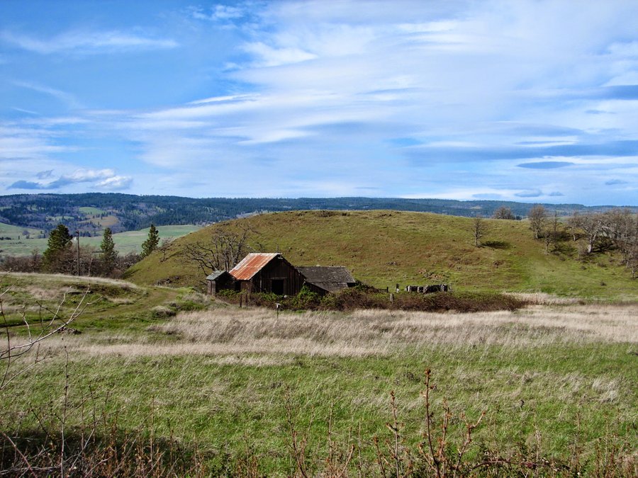
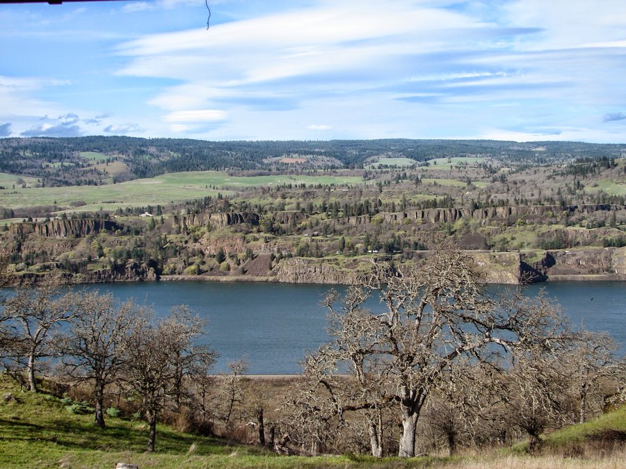
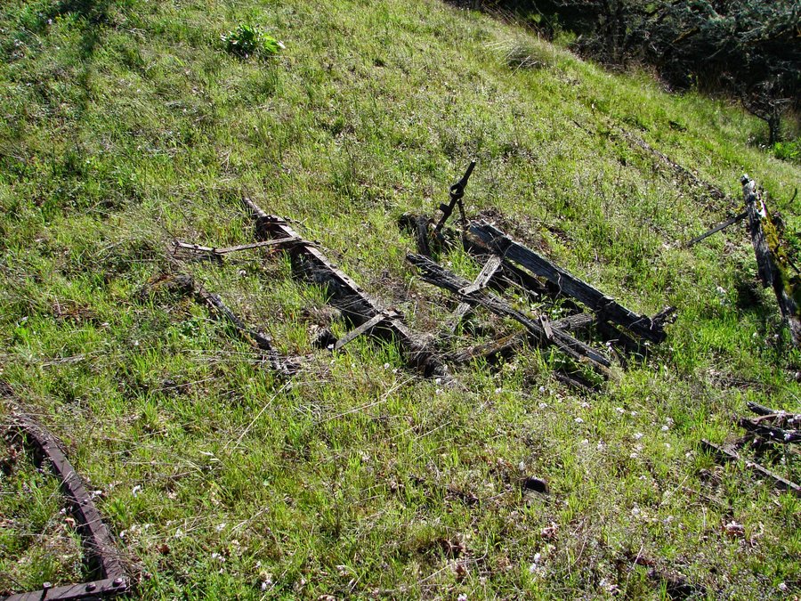
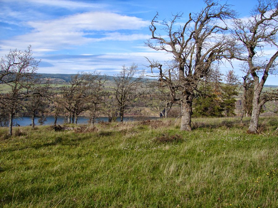
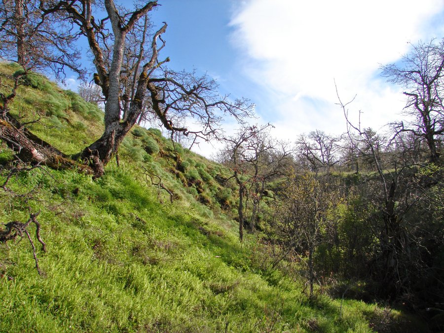
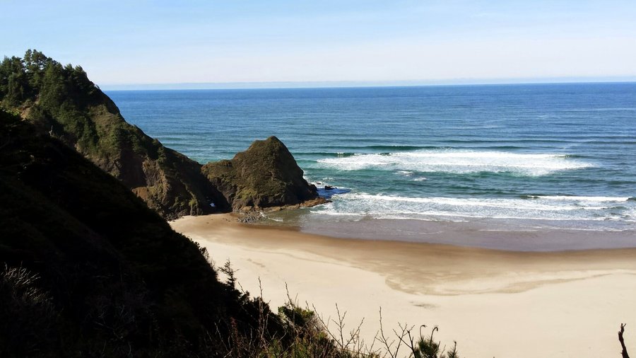
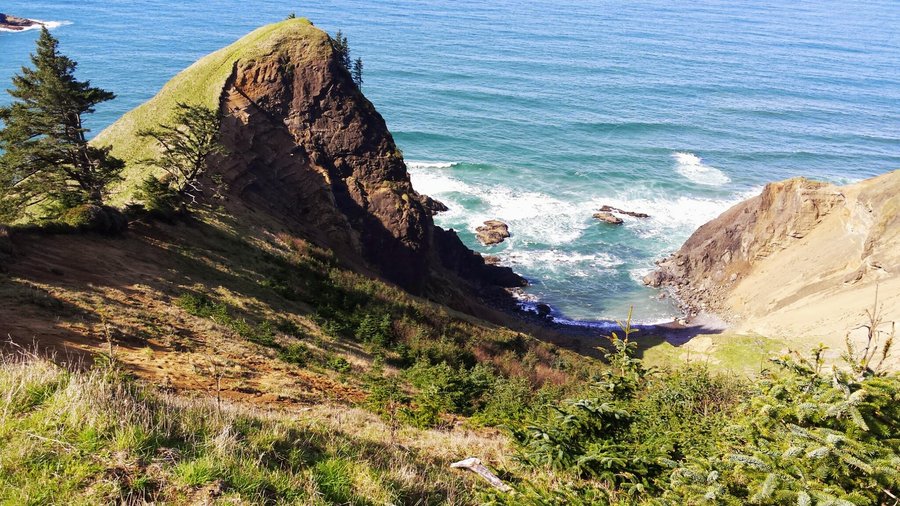
Eastern Gorge (offtrail)
9.5 miles of hiking • 1000' elevation gain •
Exploration of 2 areas, one on trail, one mostly off.
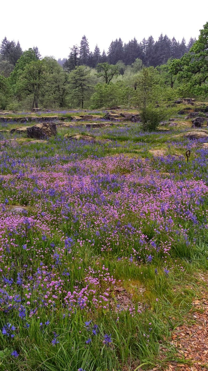
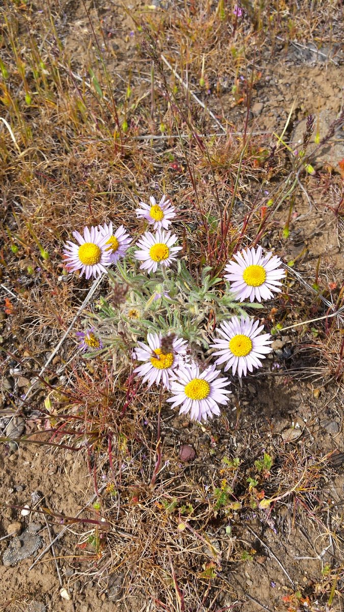
Beautiful spring day. First at Mosier Plateau to see the flower display. The balsamroot are about done, the lupine are still coming. Not in sync like last year. Hiked up the trail, came down the service road, returned along Hwy 30. Spotted a Coopers (or sharp shinned) hawk at the top.
Next to Memaloose Hills, up to Marsh Hill and then continued cross country East to Lone Pine Hill. Many flowers out. Lupine, Larkspur, Saxifrage, Balsamroot, Paintbrush, Buttercups, Oregone Sunshine, Parsley, many more. Went to the McClure homestead site, (now a bat nursery) and returned via the rest area trail. What a great day! Spotted a Lewis Woodpecker, a group of about 6 deer and startled at HUGE turkey. No people at all after Marsh Hill.
March 29, 2015


Gorge Ramble
5 miles of hiking • 500' elevation gain •
Brother in law in town, so showed him Wahclella falls on the way to Double Mountain for lunch. Then Catherine Creek area followed by winery stops at Cascade Head and Syncline on the way back. Nice day for a recliner.
March 22, 2015

Powell Butte (afterwork)
6 miles of hiking • 500' elevation gain •
Went up the old Holgate Rd route. Nice day, good views.
March 19, 2015


 2
2
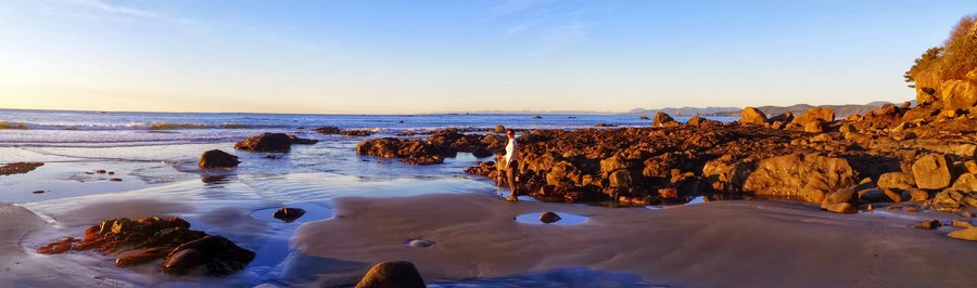
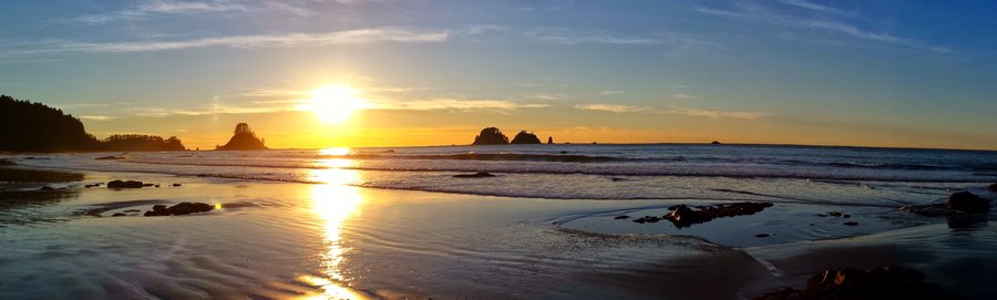
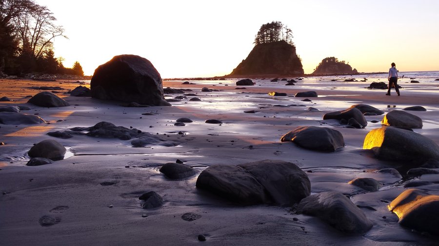
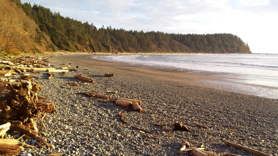
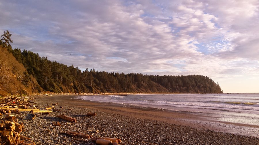
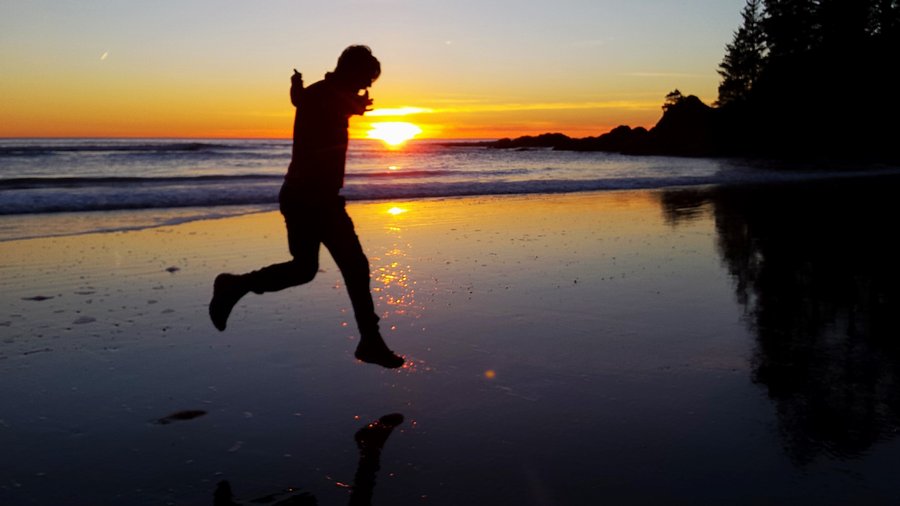
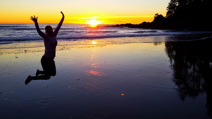
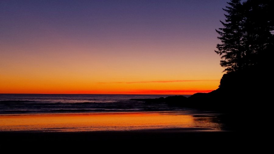
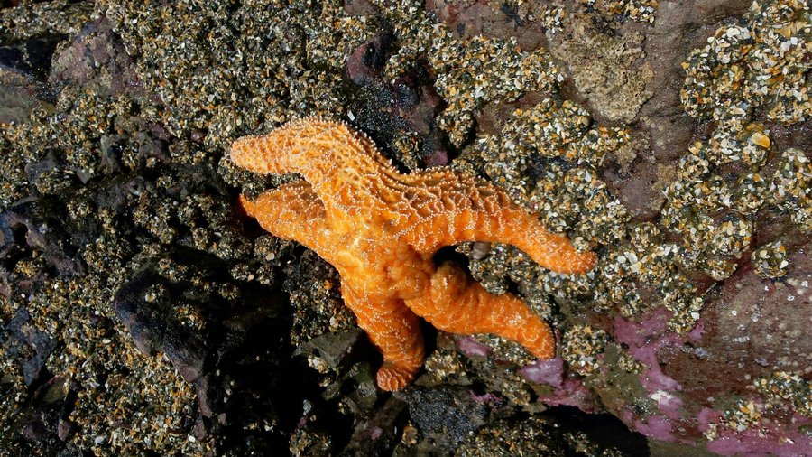
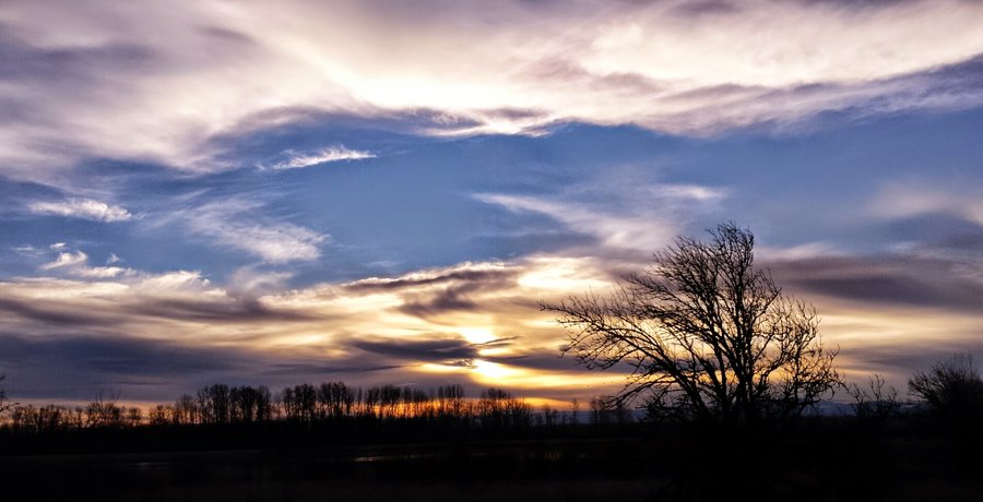
Olympic Coast between Ozette River & Yellow Banks
21 miles of hiking • 250' elevation gain • 2 nights
A perfect weekend for this trip to the Olympic coast. Very little wind, blue skies and lots of sunshine. Navigating around rocky headlands during low tide made for adventure, as did the slippery boardwalks from Ozette RS. We saw plenty of wildlife, from bald eagles, deer, starfish, harlequin ducks, anemones, kelp crabs, hermit crabs, racoons, etc. Sand Point beach is spectacular! I can't say enough about how great the trip was, even though I wasn't really excited about it beforehand. I'm glad we went for it!
February 21 – February 23, 2015

.jpg)
.jpg)

.jpg)
.jpg)

 1
1
Saddle Mountain
5 miles of hiking • 1500' elevation gain •
Wonderful weather dayhike to a coastal favorite. Great views, from Hood to Coast!
February 15, 2015


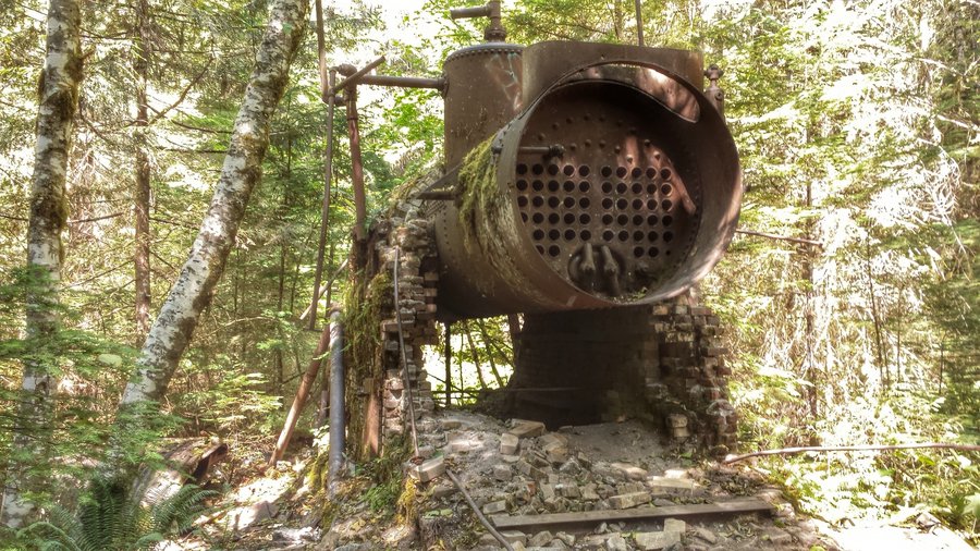
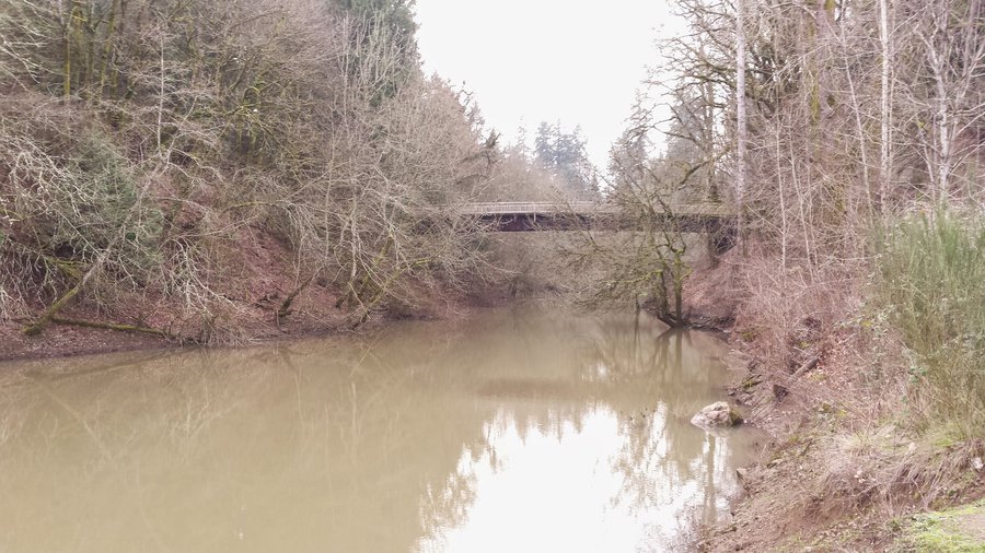
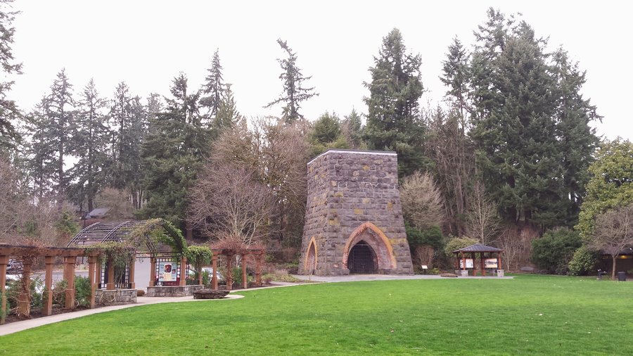
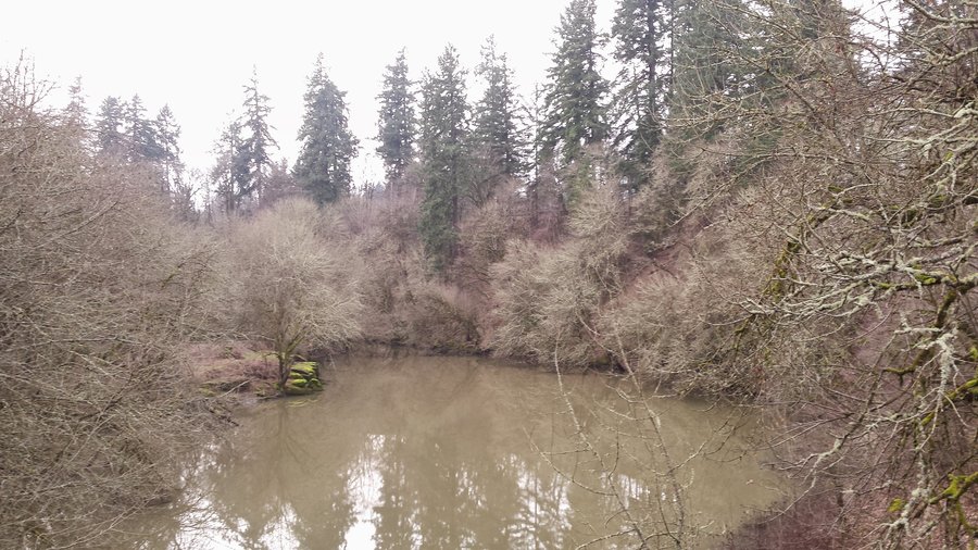
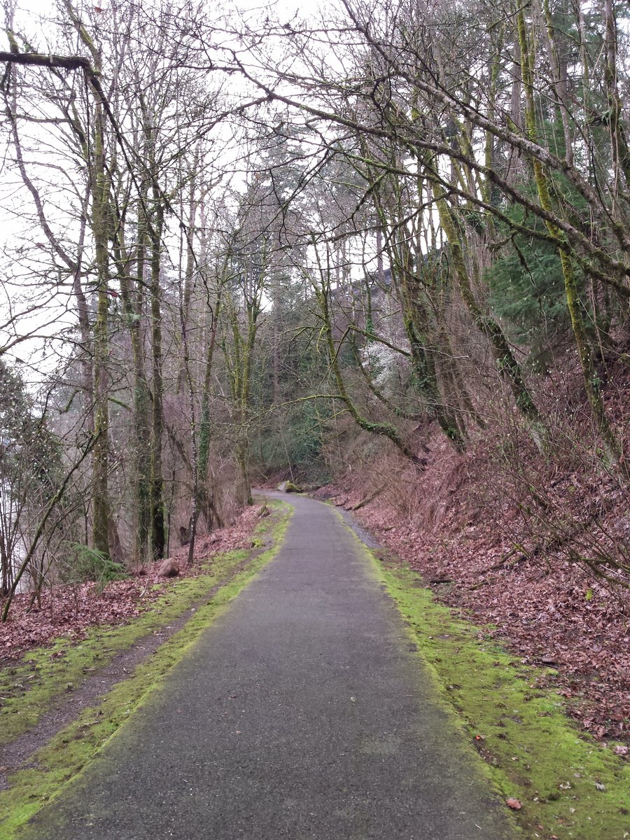
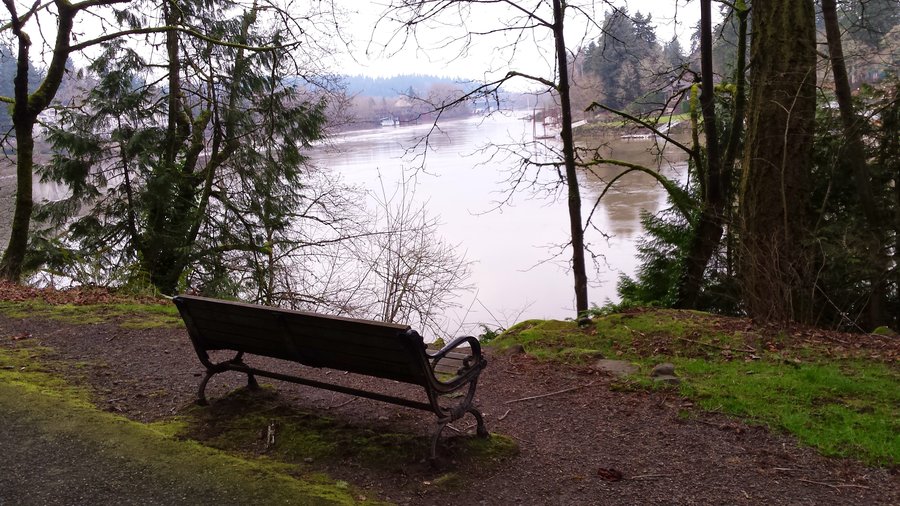
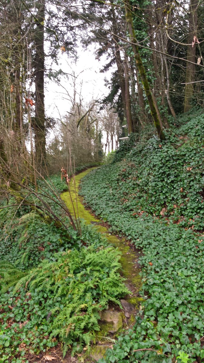
George Rogers Park (afterwork)
3 miles of hiking • 0' elevation gain •
After work jaunt along lovely riverside road. Cool old artifacts and historical photos at the park.
February 13, 2015

February 8, 2015

Clackamas River Trail & Alder flat
10.5 miles of hiking • 1250' elevation gain •
Point to point w/ bike shuttle. Couple of side trips to see waterfalls.
February 8, 2015

Powell Butte (after work)
4 miles of hiking • 500' elevation gain •
After work stroll up to Powell Butte. Another nice one.
February 6, 2015

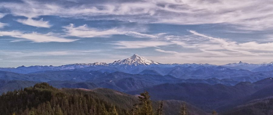
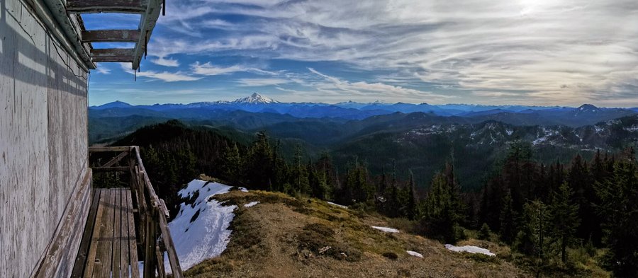
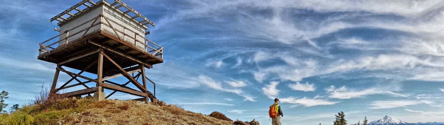
Bull of the Woods Lookout
8 miles of hiking • 2250' elevation gain •
Another wonderful Saturday in January. Temps in the mid 50's at the height of the day, partly cloudy, but plenty of sun & blue sky. Followed the PH Field Guide directions & summary. No snow to be found, really. We could see all the way to Mary's Peak in the West, the 3 sisters, 3FJ, the entire Cascade range for 100 miles N & S. The lookout was boarded up. Pansy Lake had thin ice, Dickey Lake was almost unthawed.
January 31, 2015

 1
1
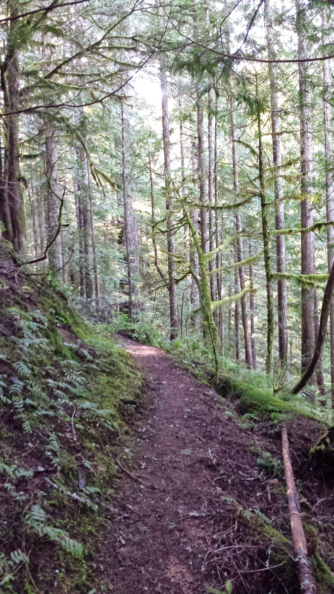
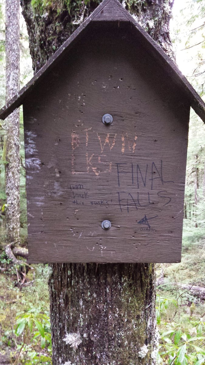
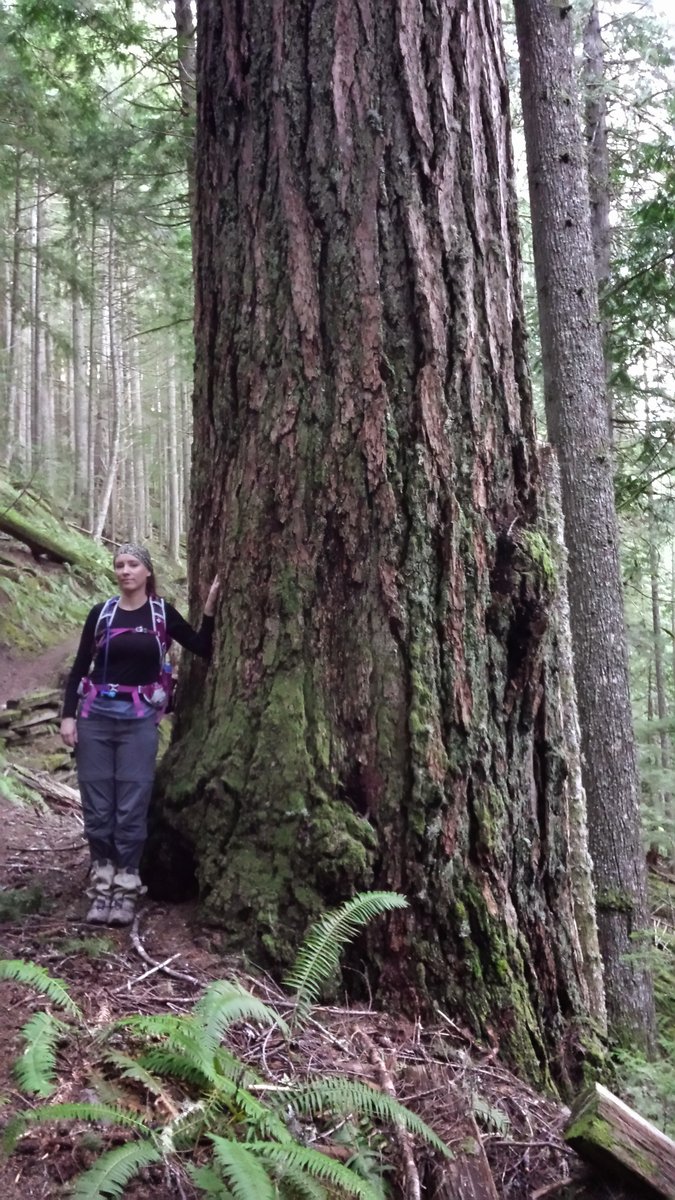
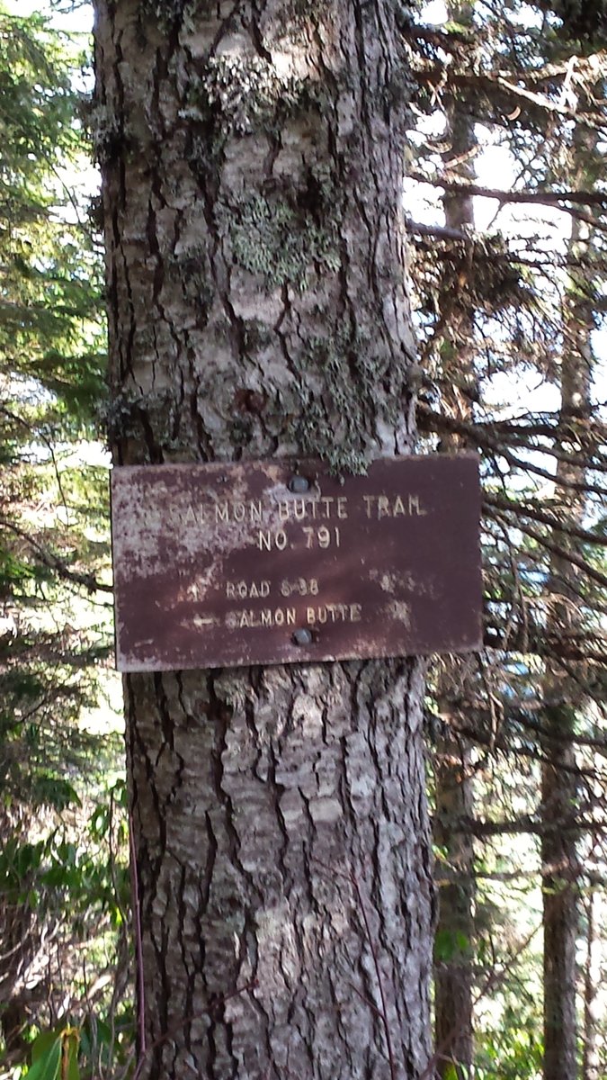
Salmon Butte
12.5 miles of hiking • 3250' elevation gain •
Superb day, high 60's, clear skies and views of Portland to the Coast range. We thought we would finish after dark, but we made it back just after 5pm and it was still light out. Spent about 30 mins at the top eating lunch and taking pictures. The entire hike is mostly through lush and thick forest, with a nice ridgeline walk towards the top through plenty of rhododendron bushes and beargrass. Several side trails off the roadwalk section warrant further exploration, particularly one dropping down towards the S. Fork Salmon River.
January 25, 2015


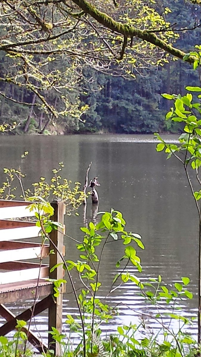
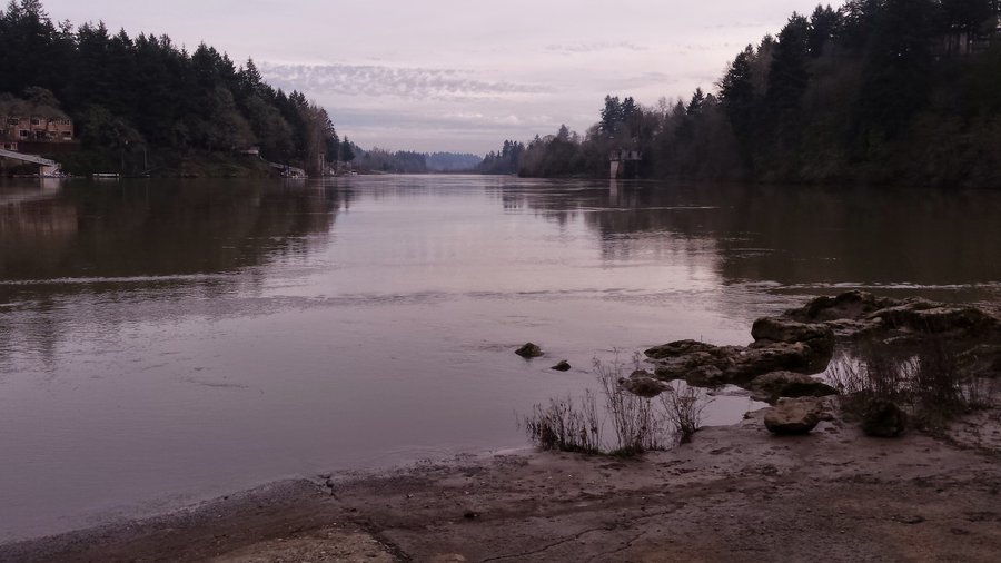
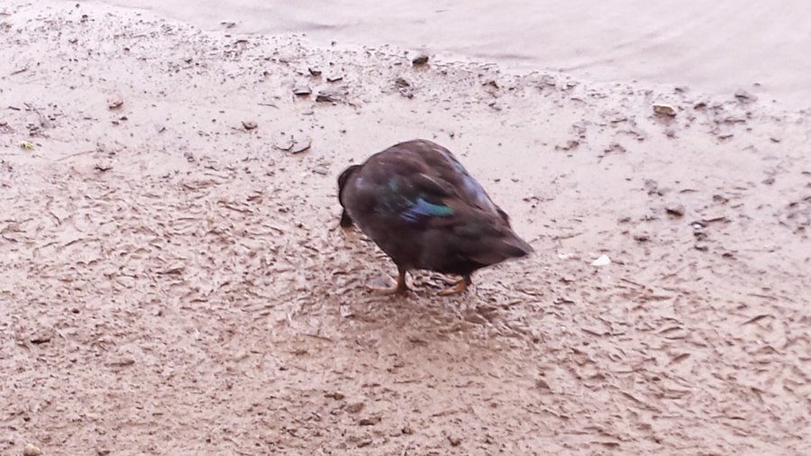
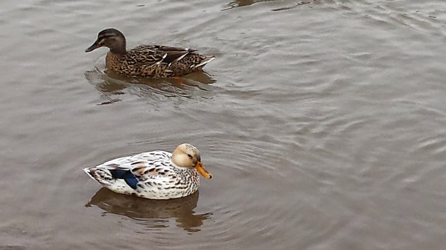
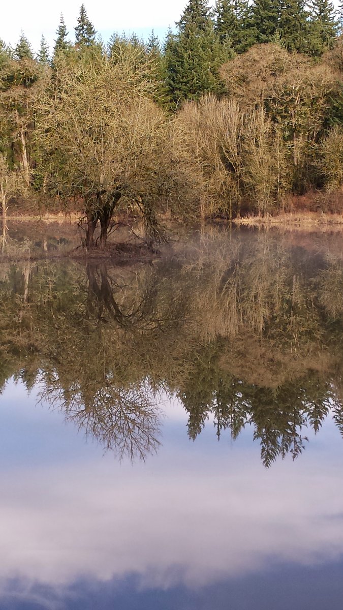
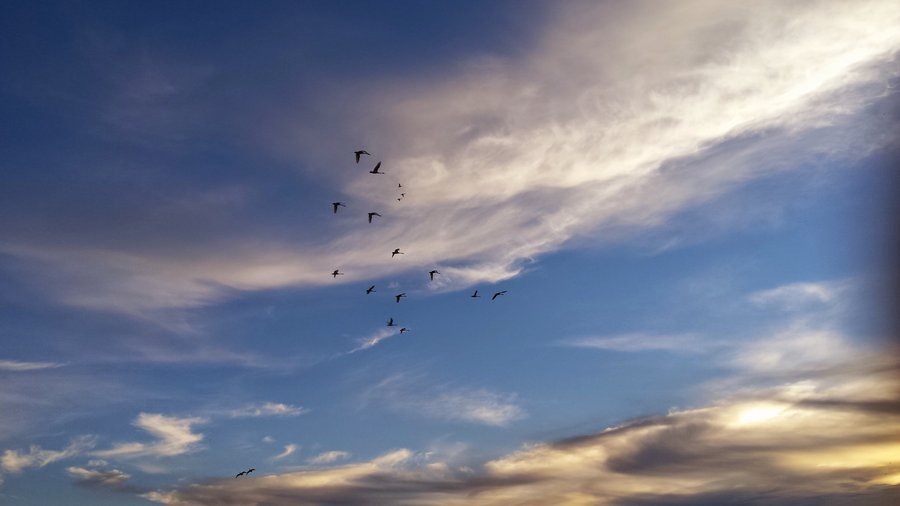
Ridgefield NWR
2.5 miles of hiking • 0' elevation gain •
Lovely Saturday evening stroll through the WR. It took several years to get here, but I finally made it happen. Many interesting and different species of birds all along our walk. We even took a slight detour through the marshy area and got our feet wet, but the trails were so muddy that it didn't really matter too much. Spotted a large Egret stalking prey on the opposite bank of a lake, and we spotted Red breasted Sapsuckers, two of them in fact, the first we have ever seen. The sunset was fantastic, only accentuated by the honking and trumpeting of nearby and distant ducks, geese, etc.
January 24, 2015

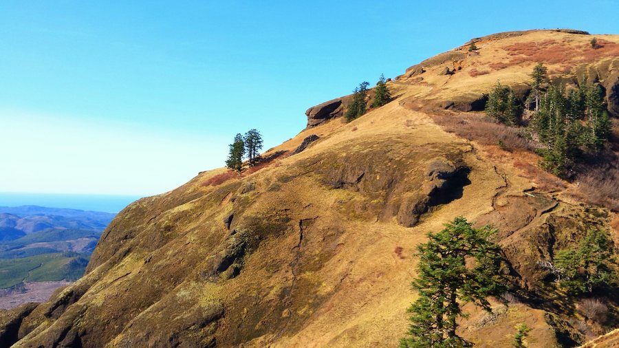
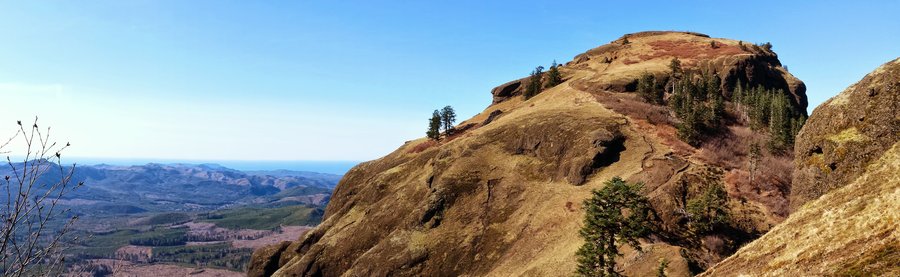
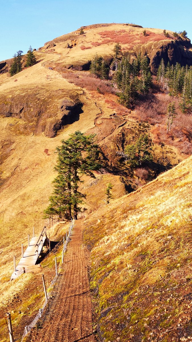
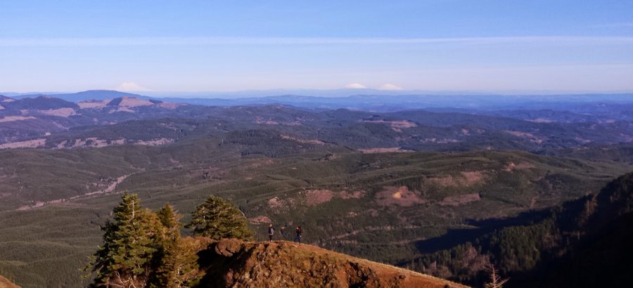
 3
3
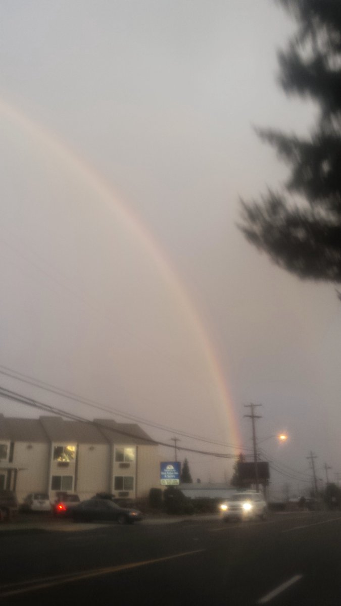
Table mountain & Hamilton Creek
14.5 miles of hiking • 4250' elevation gain •
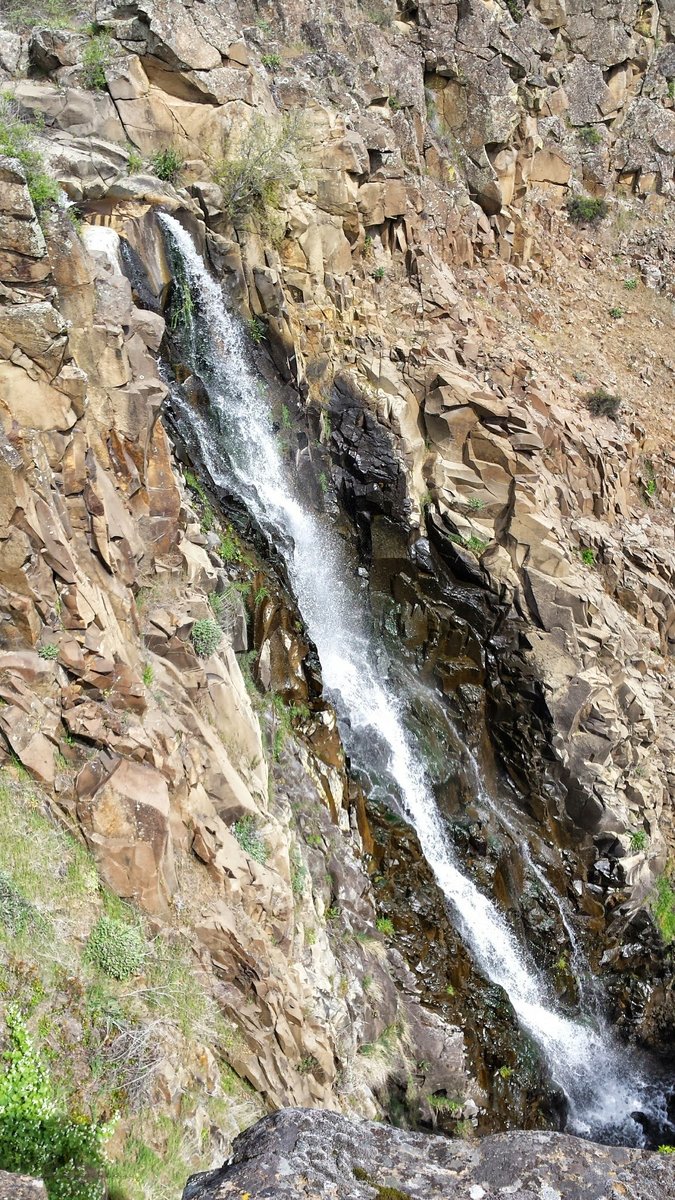
First recorded expedition to seasonal fall #774. Spent the better part of the day on unknown bushwhacks and near vertical ascents fighting cobras and tarantulas. There was even a celestial abnormality at the beginning of the day that portended a momentous occasion...the infamous "Double Rainbow", nearly a "Triple Rainbow" in the Northern sky on the 10th day of the First month of the moon of the first Ephiphany. Dear Reader, I am absolutely humbled and simultaneously exhult in the pleasure of documenting this grand occasion for you. Hark! Who accompanied me on this noble trek? It was Bosterson of the clan Scramble and Bradford of the Sons of Rocky Butte. Forever may their names be on the tongue of the adventurous and bold!
January 10, 2015

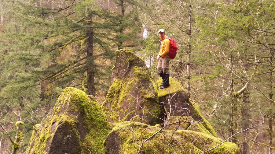
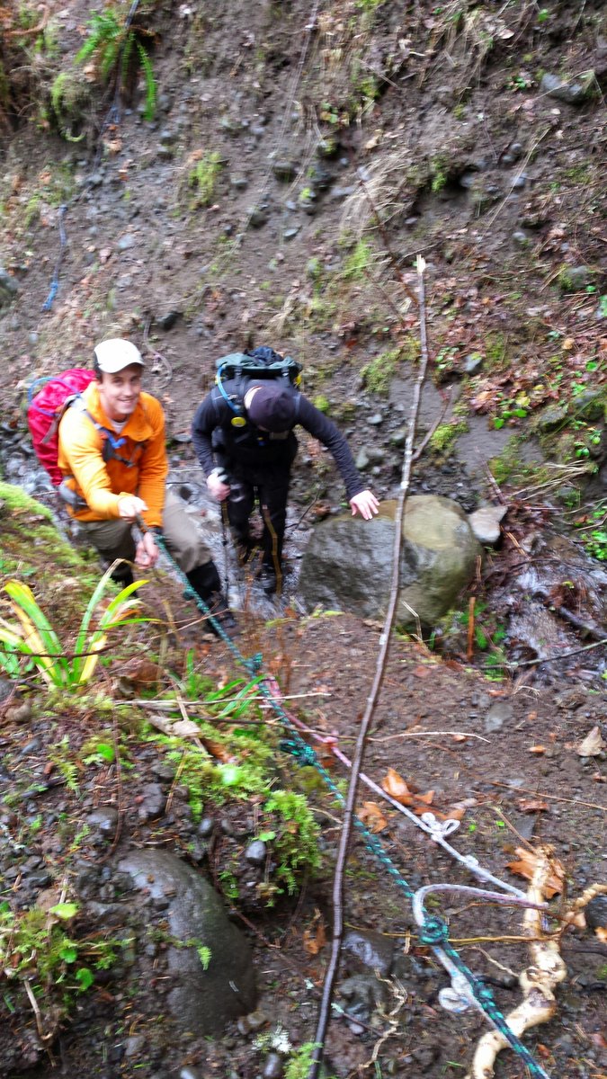

January 7, 2015

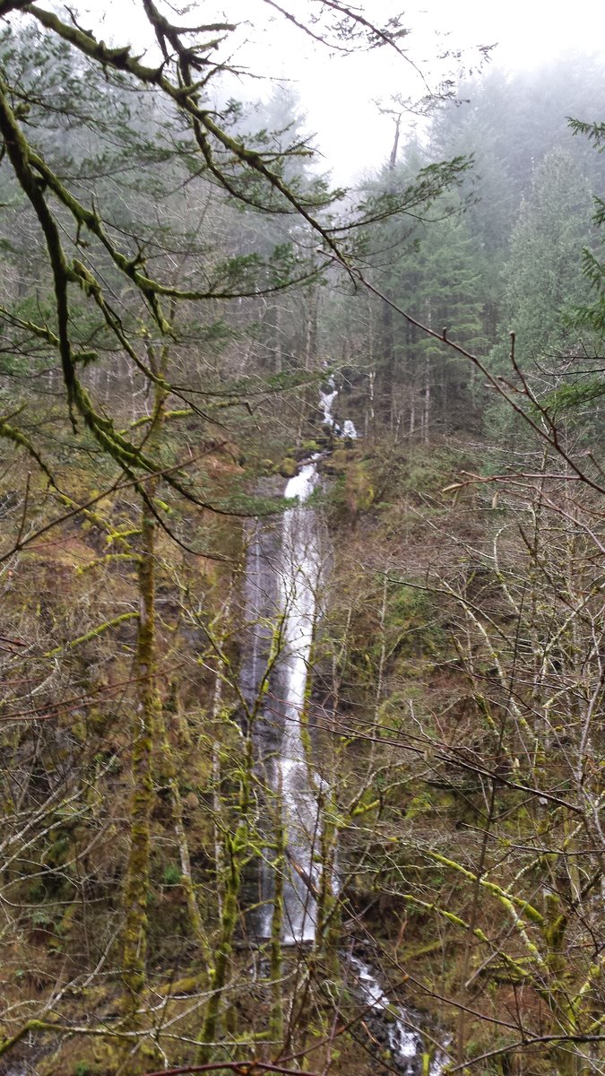
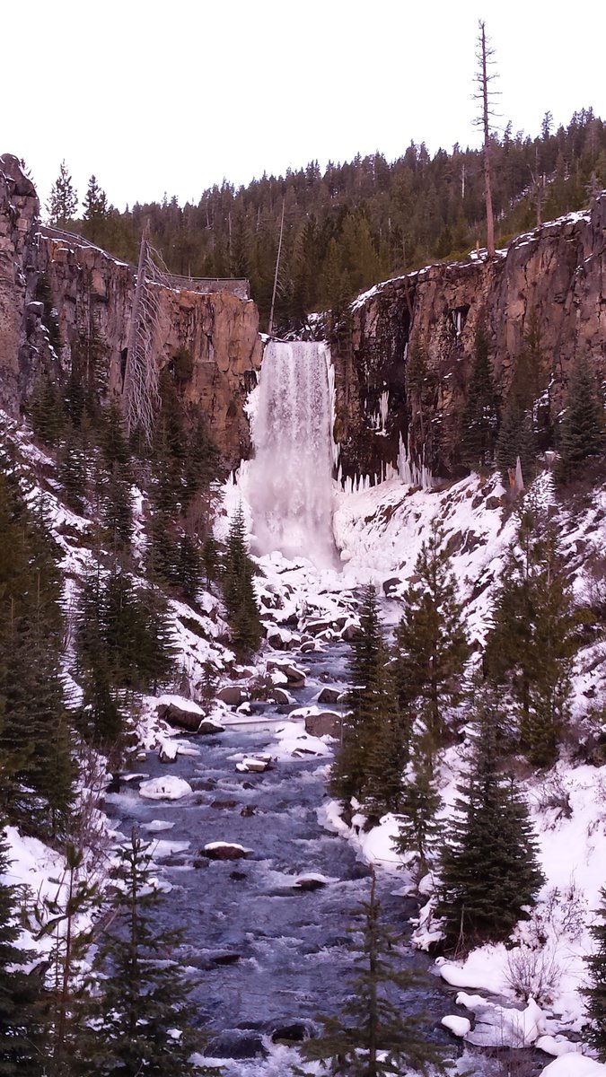
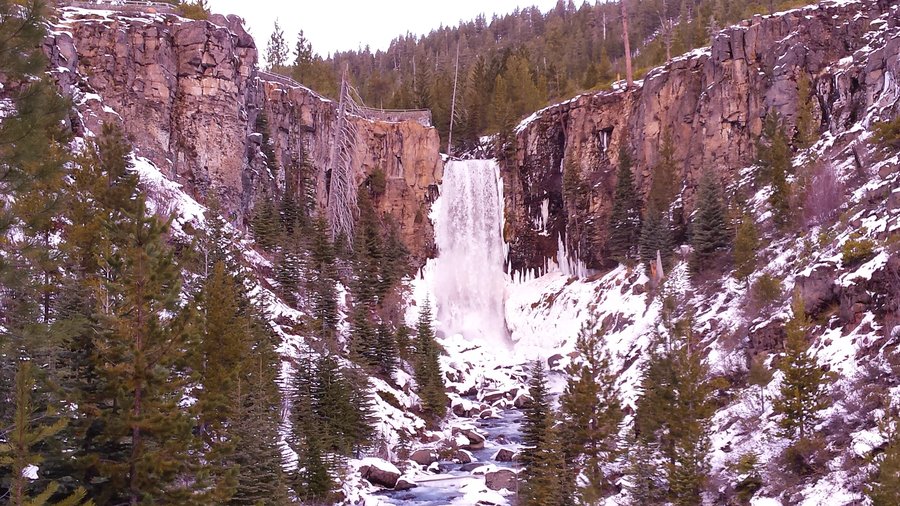
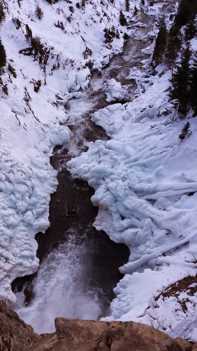
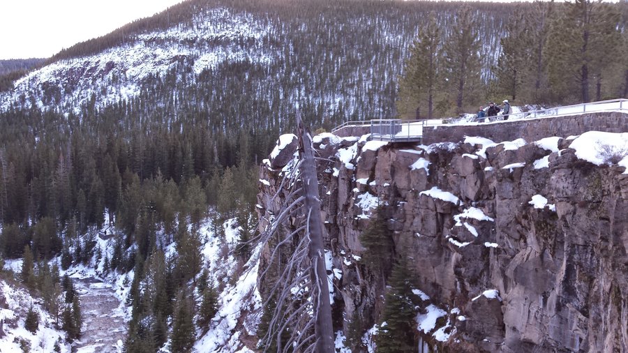
Tumalo Falls
6 miles of hiking • 750' elevation gain •
Trip Report here: http://www.portlandhikers.org/forum/viewtopic.php?f=8&t=20757
January 3, 2015


Tumalo Mountain
4 miles of hiking • 1500' elevation gain •
Trip Report here: http://www.portlandhikers.org/forum/viewtopic.php?f=8&t=20757
January 2, 2015
 1
1
January 1, 2015