

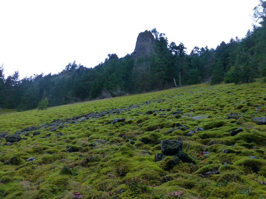
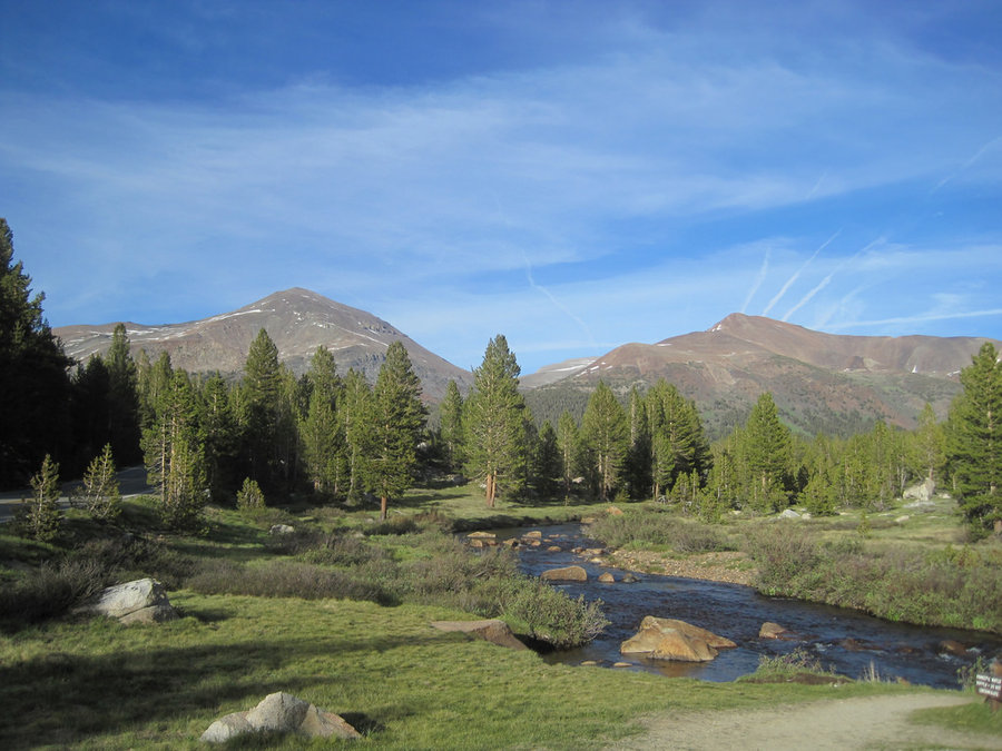
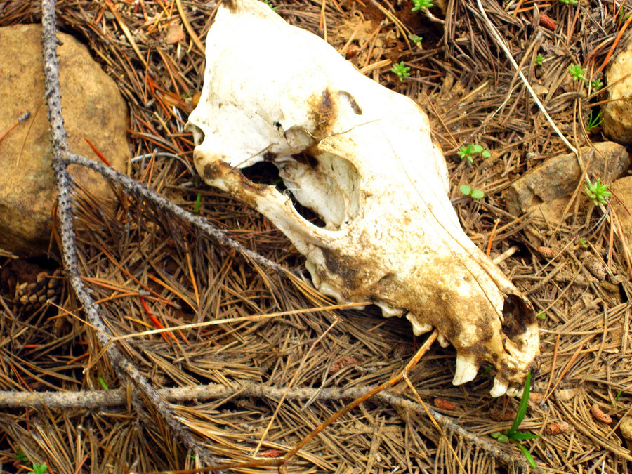
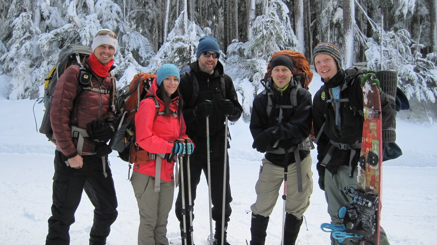
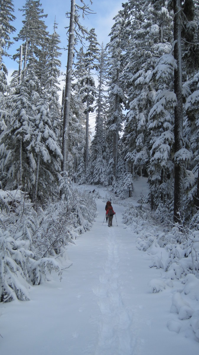
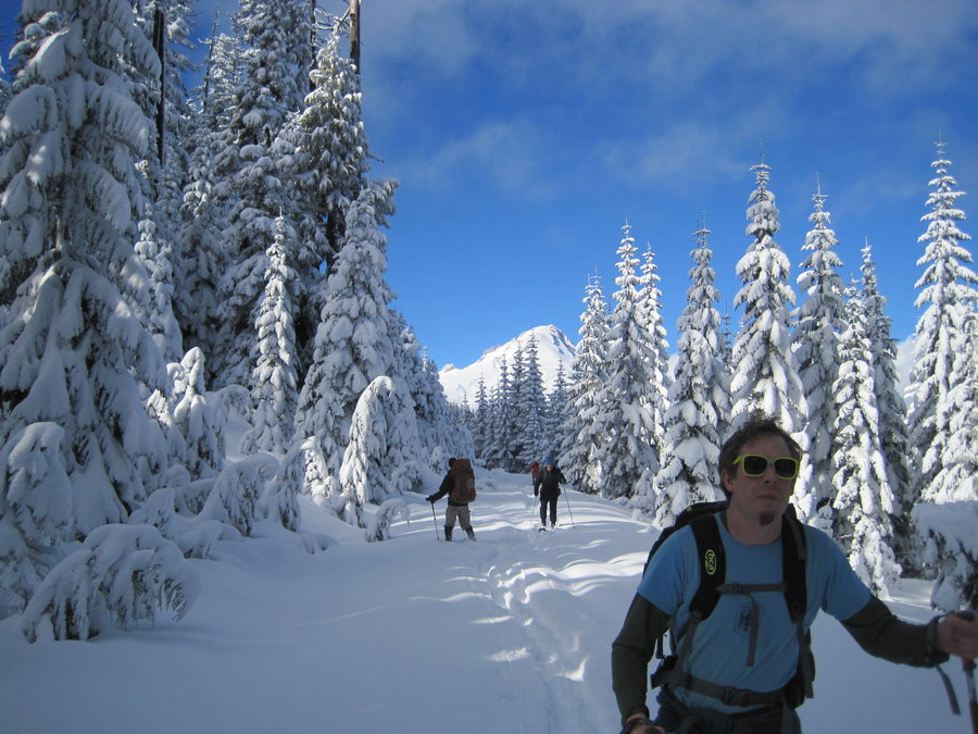
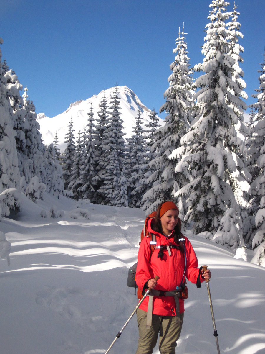
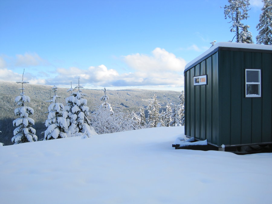
2014 Trips


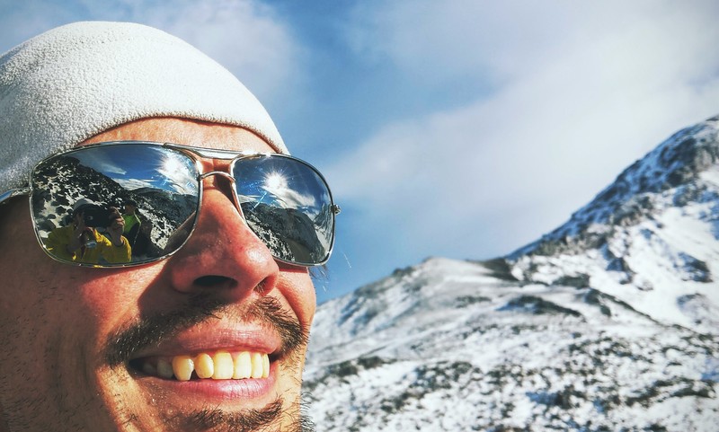
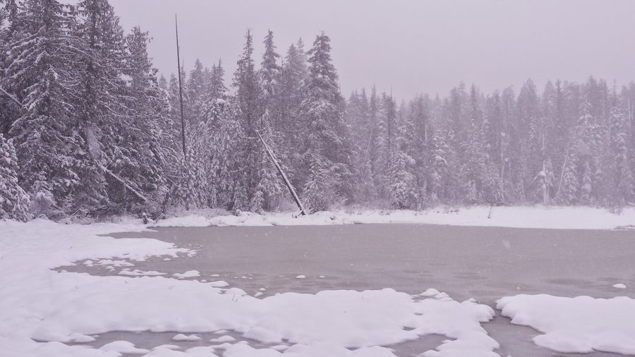
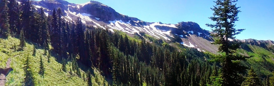
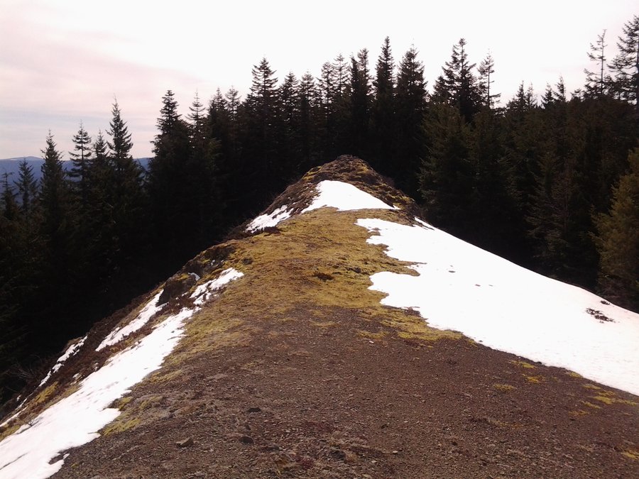
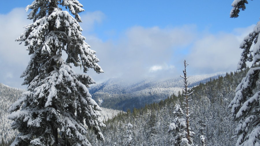
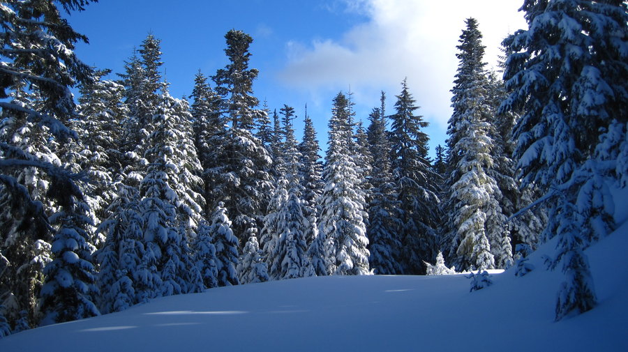
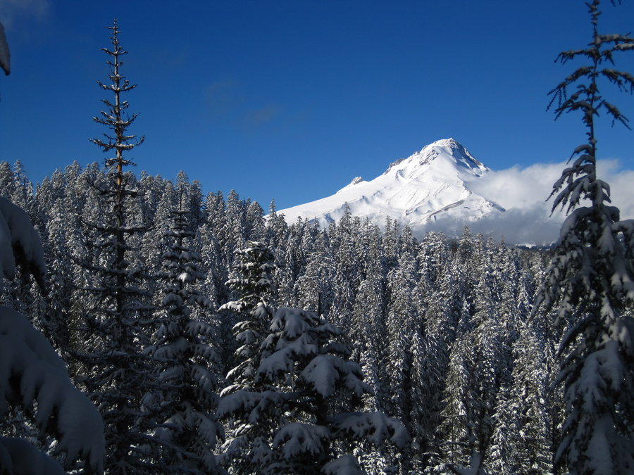
Government Camp Trails
4 miles of hiking • 500' elevation gain •
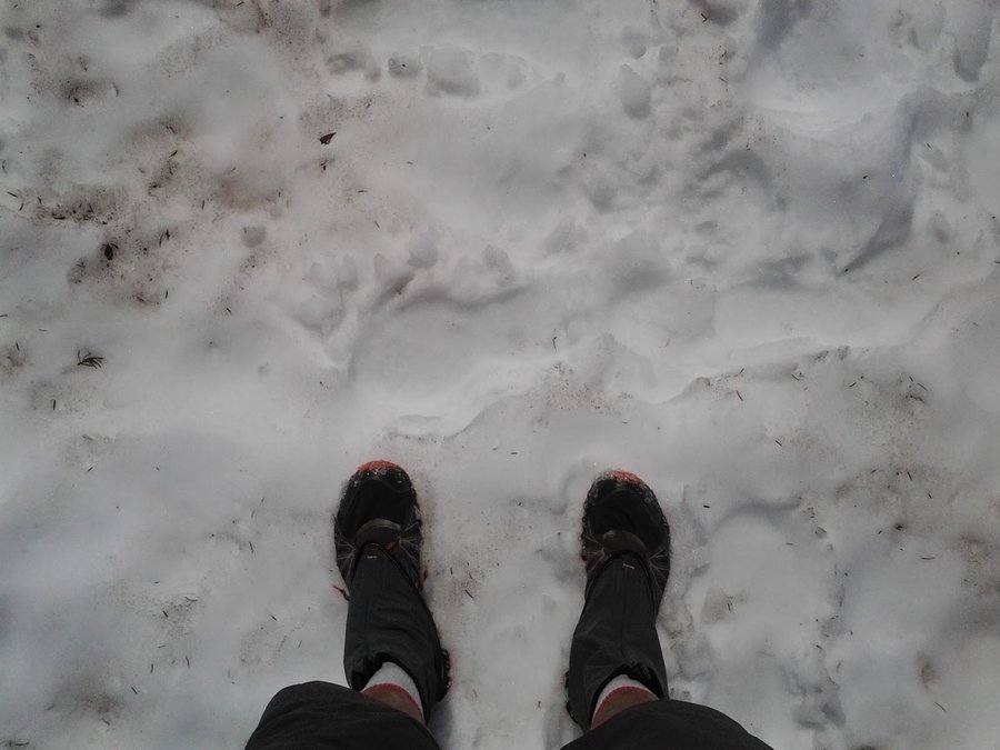
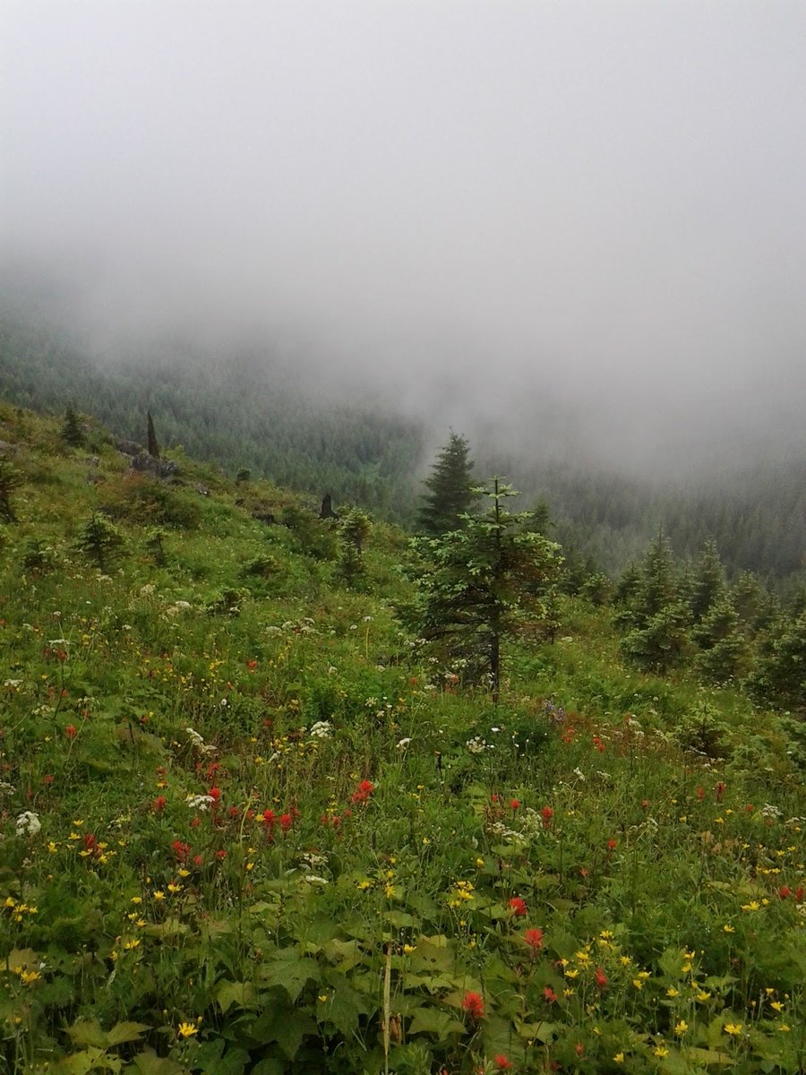
Snowshoe around some of the "backroads" North of Gov't Camp. Easy and fun. Trying to get to 600 miles again this year, mission accomplished! Snow was coming down heavy, not many people, just a great day.

December 28, 2014

 4
4
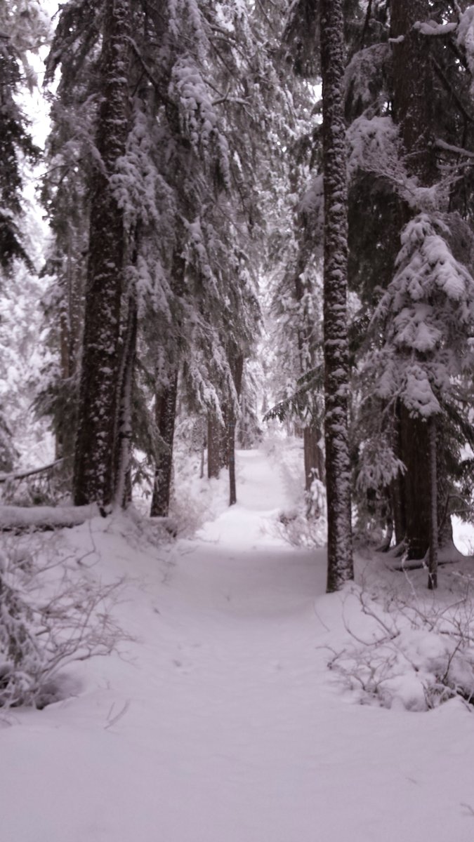
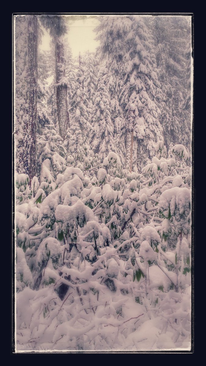
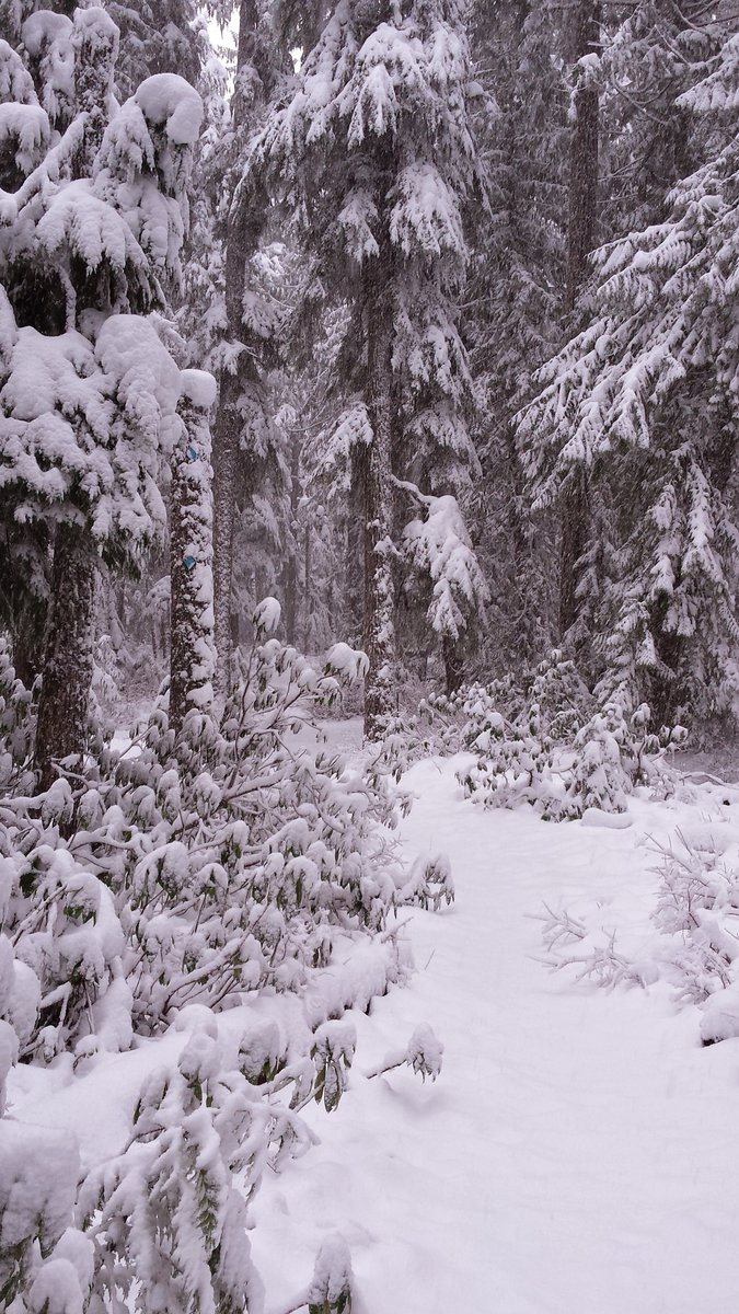
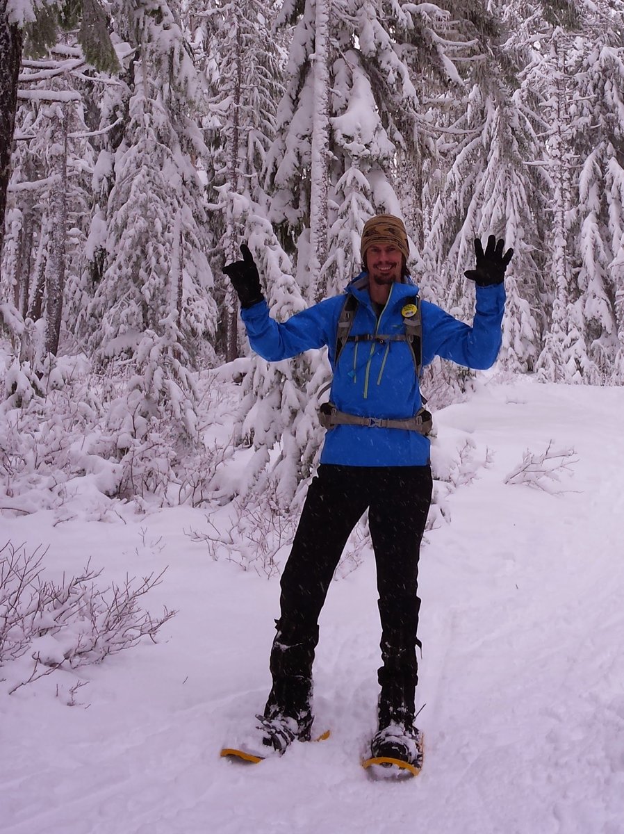
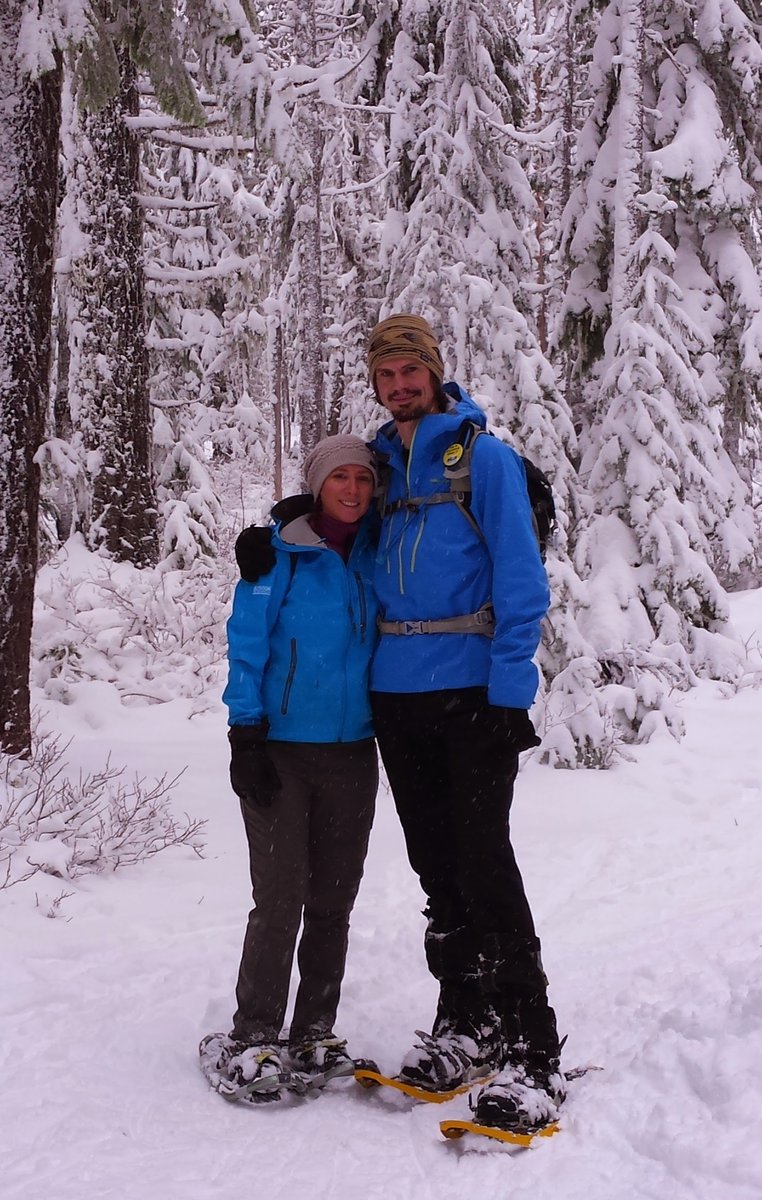
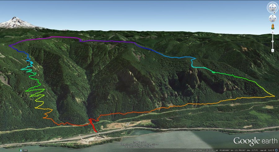
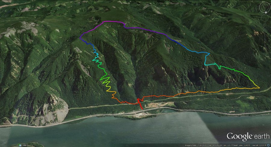
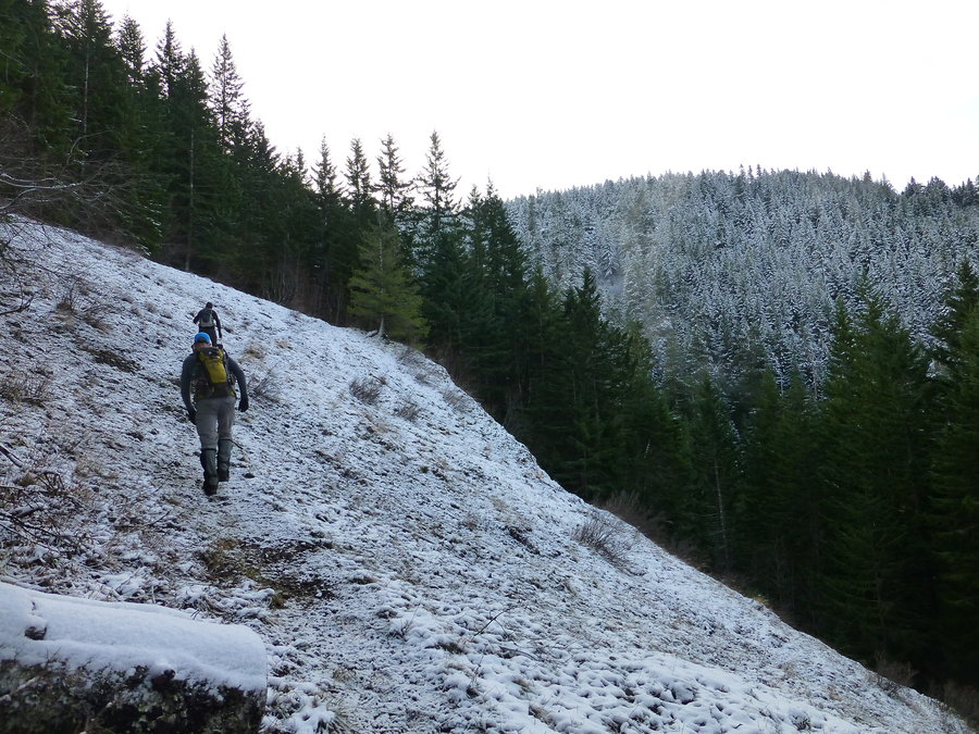
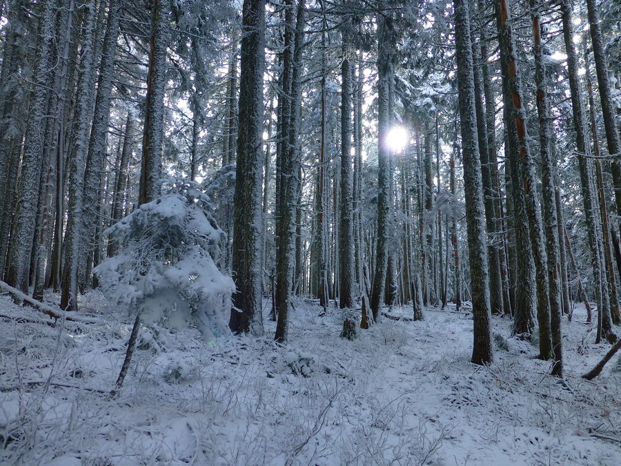
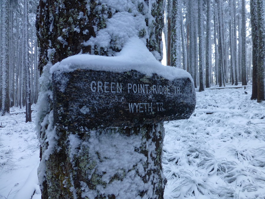
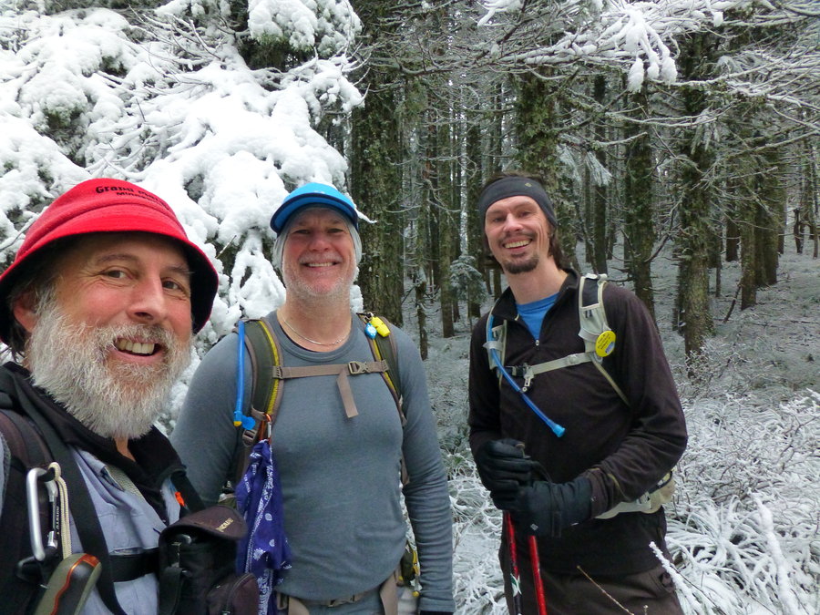
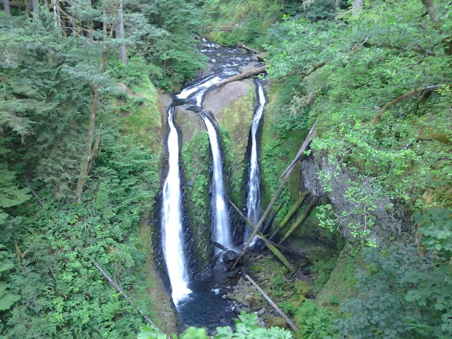
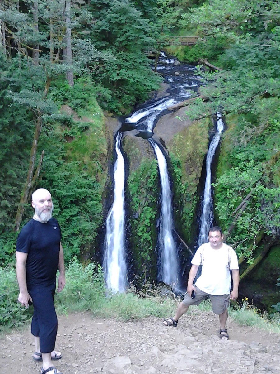
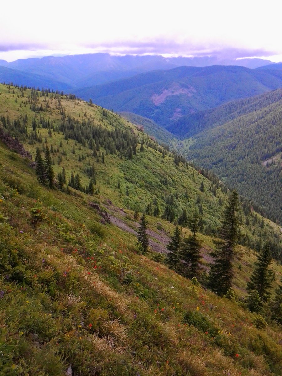
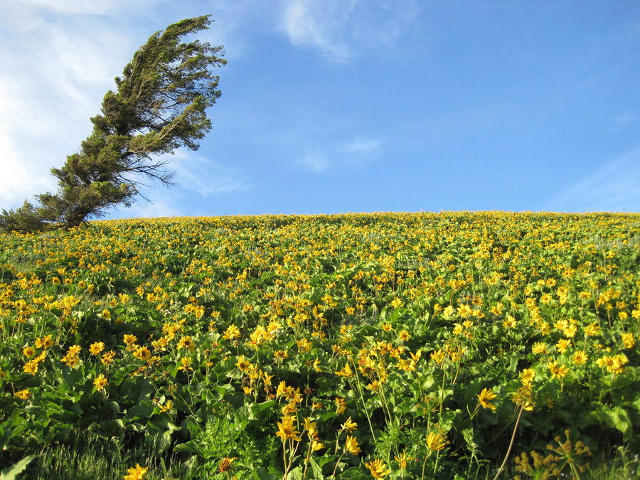
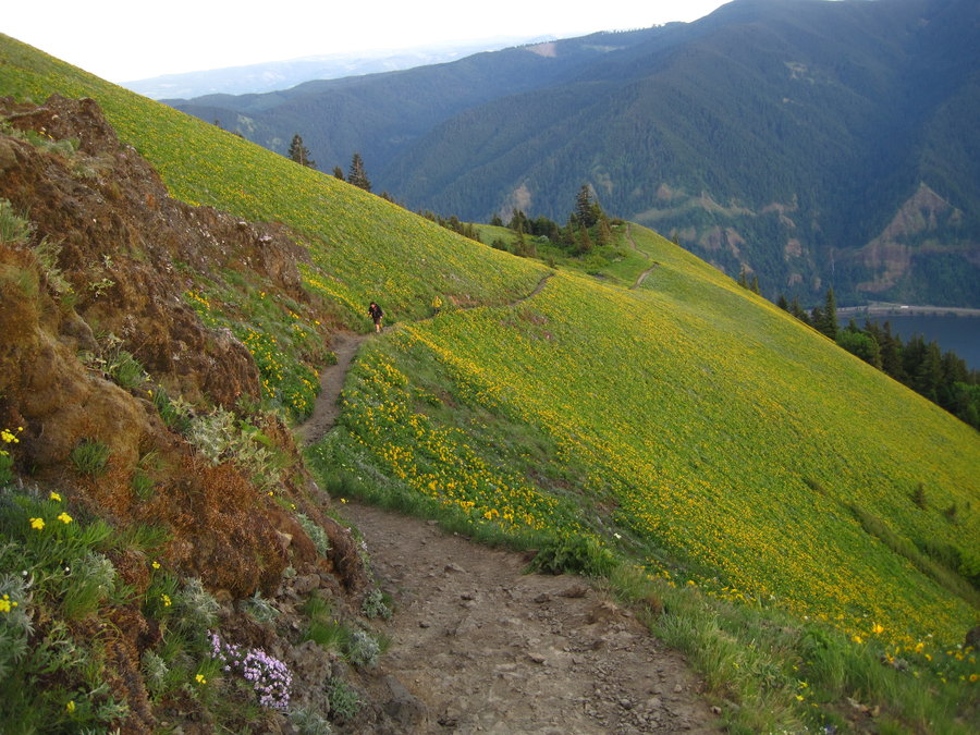
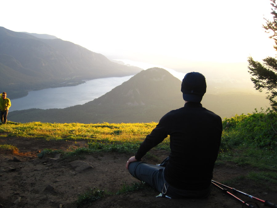
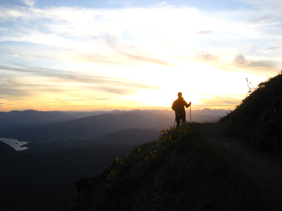
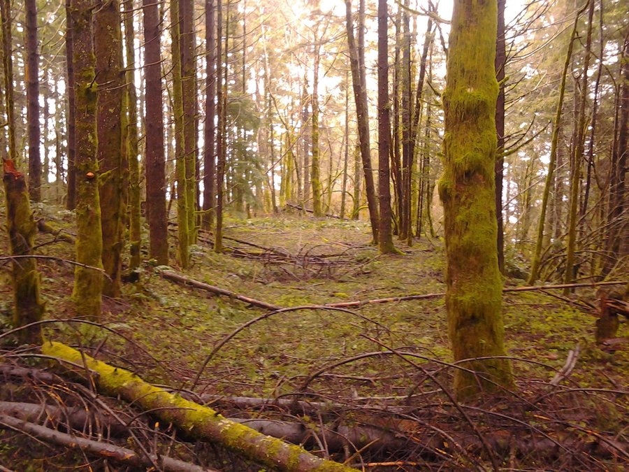
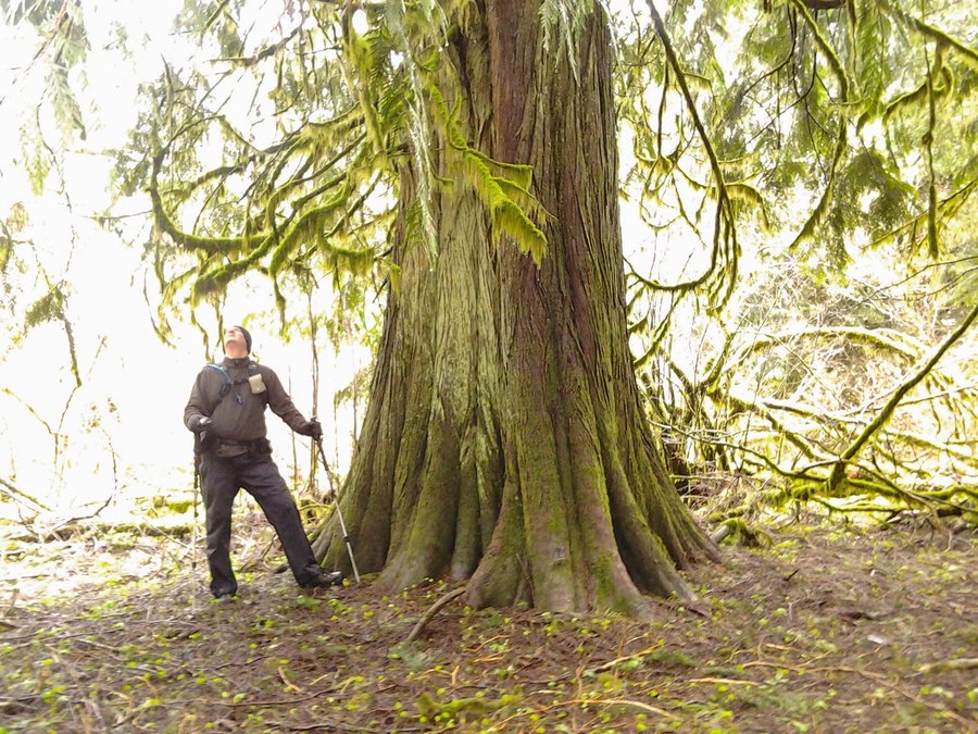
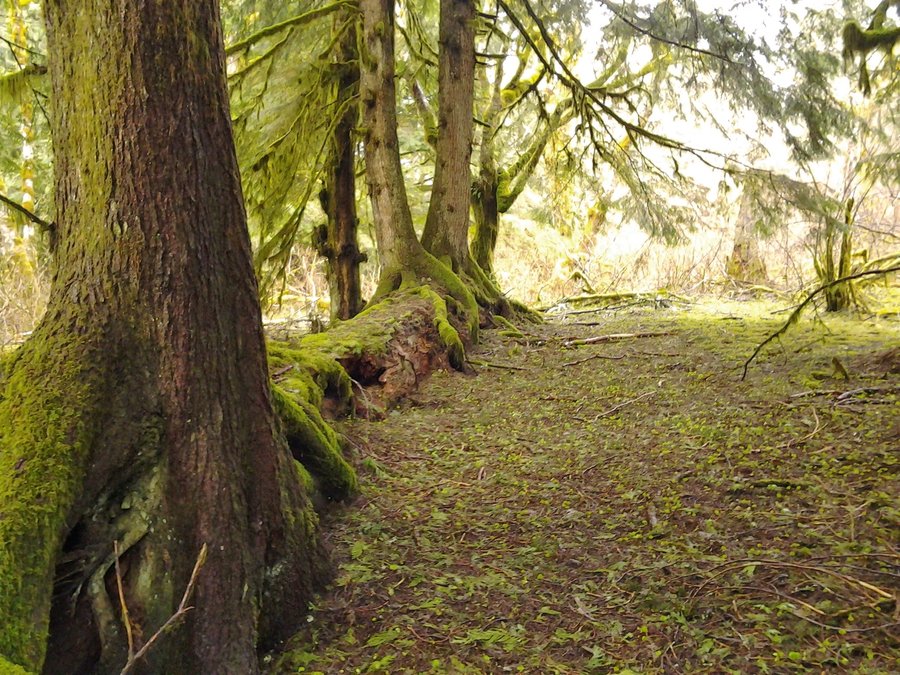
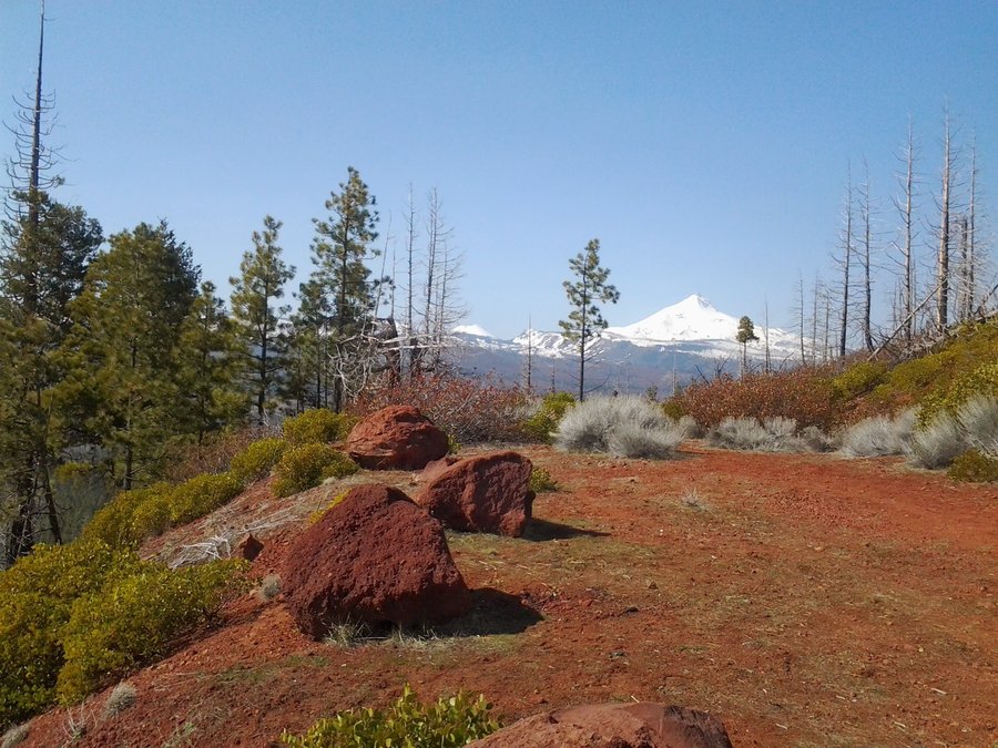
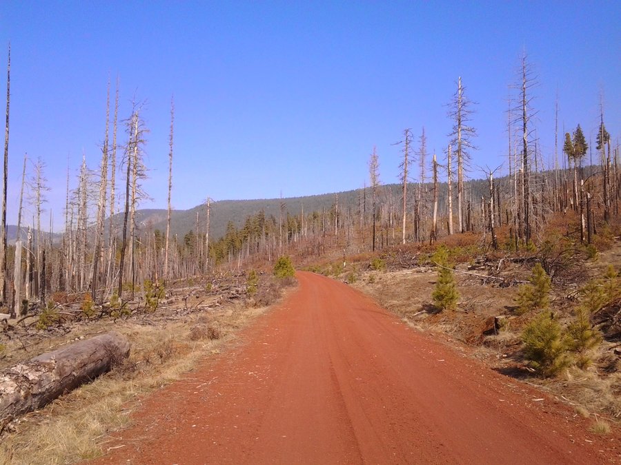
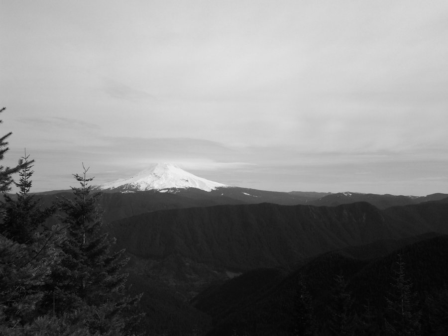
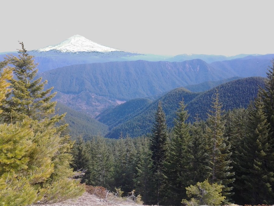
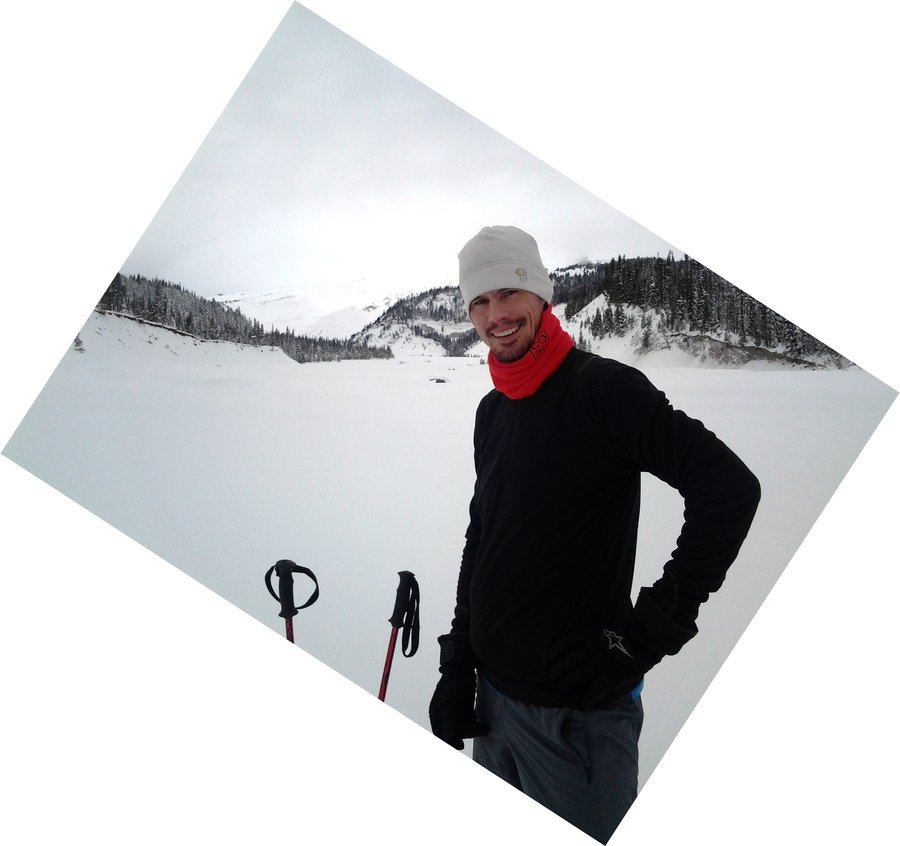
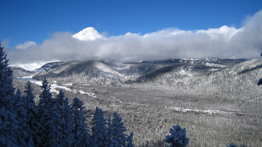
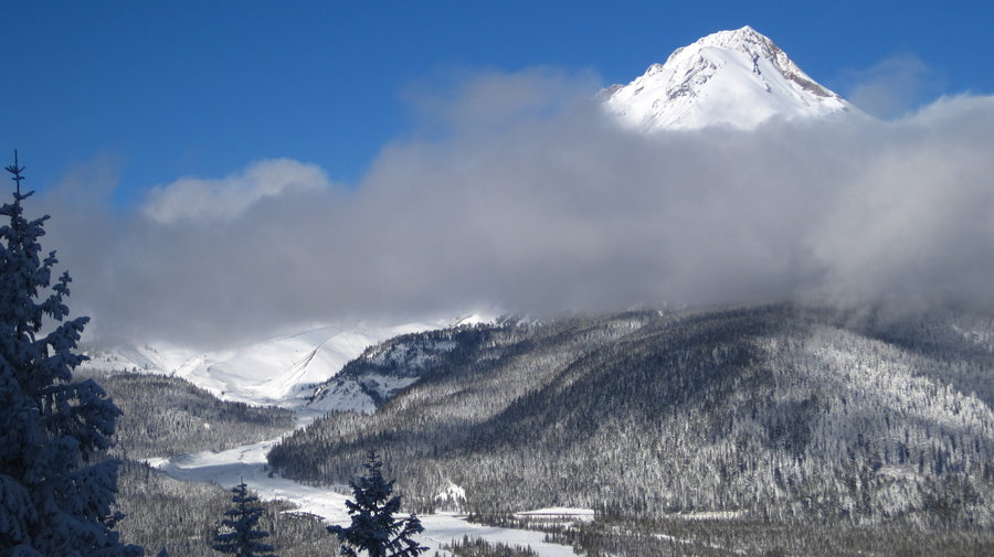
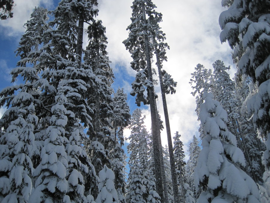
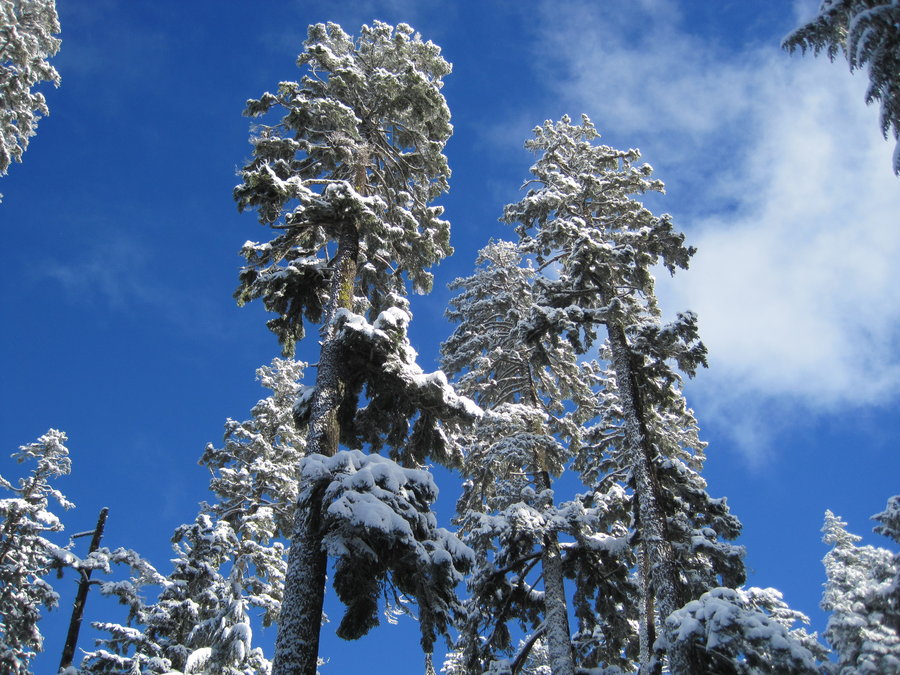
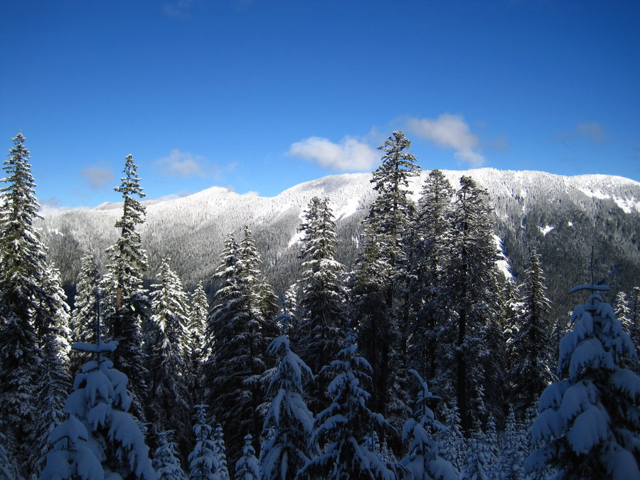
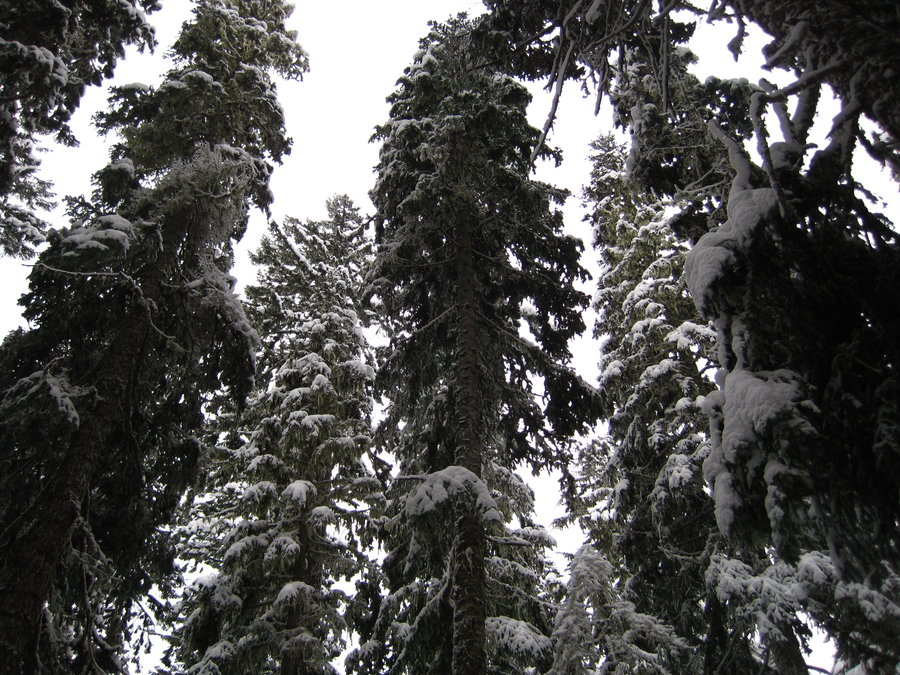
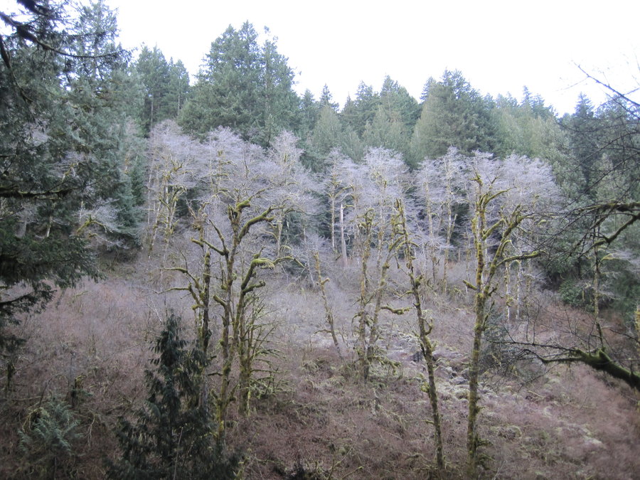
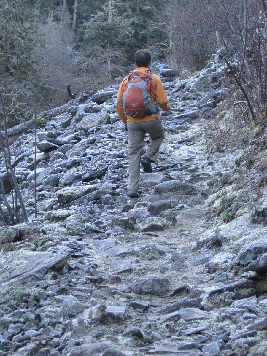
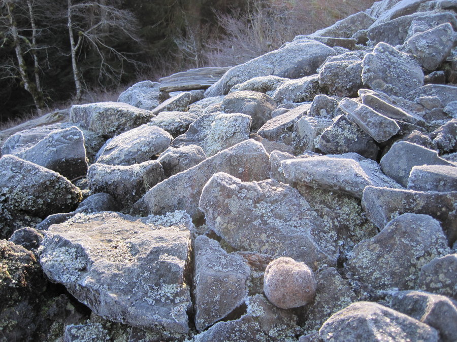
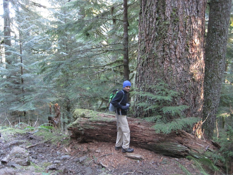
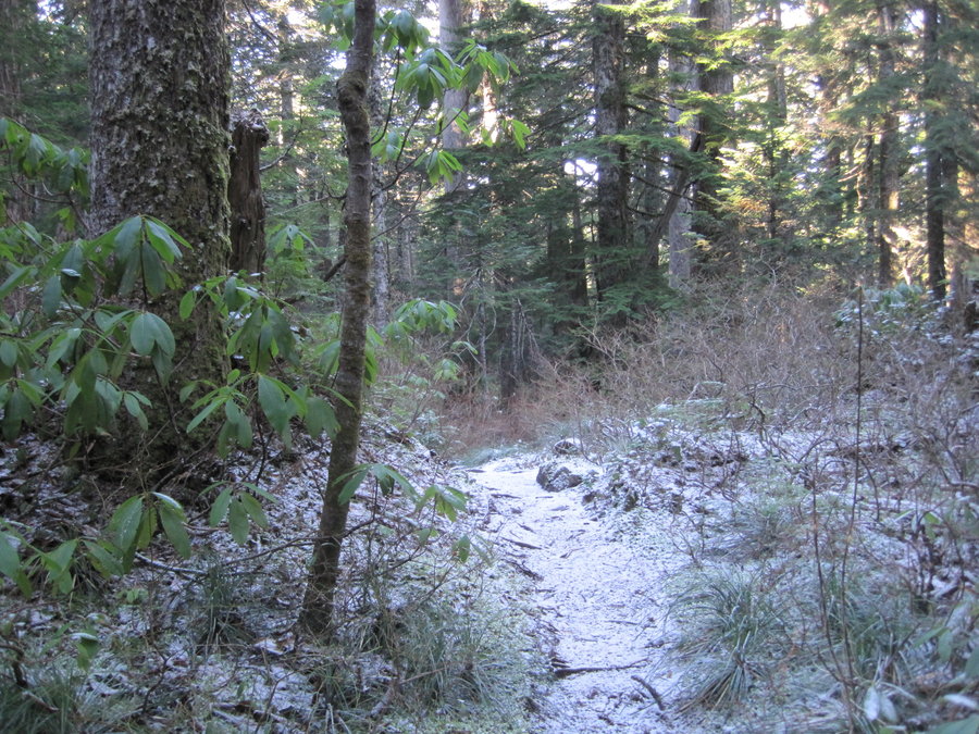
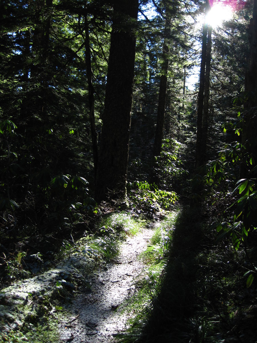
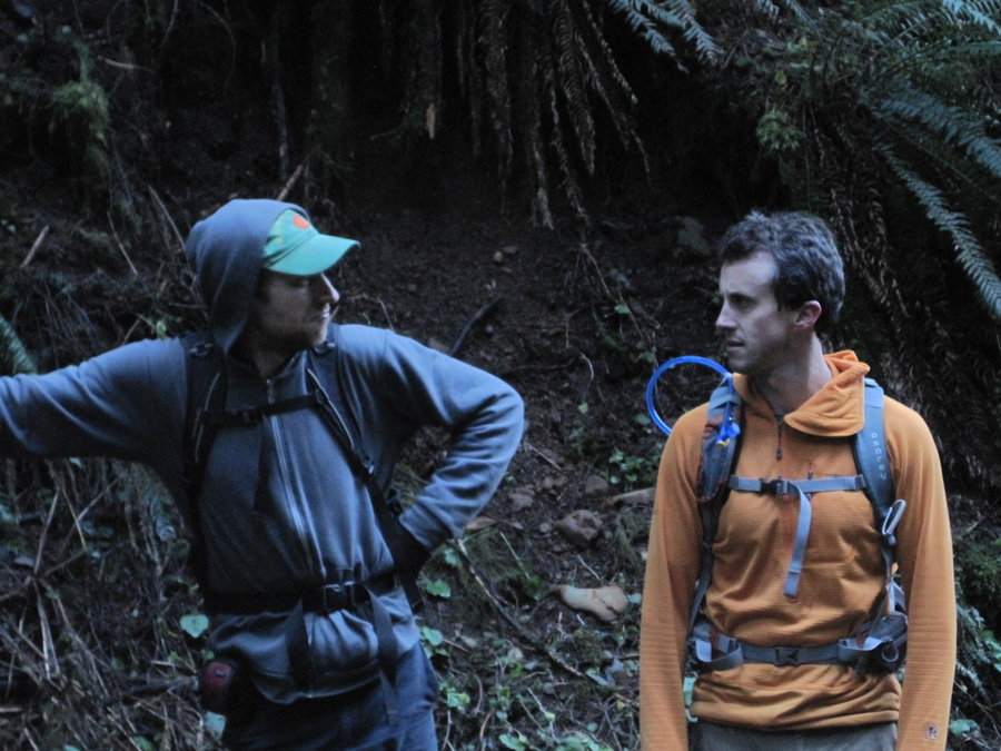
Wyeth Trail, Nick Eaton to 400 Loop
17 miles of hiking • 4750' elevation gain •
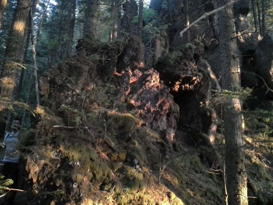
(photos by Karl) What a hike! Wyeth is a real workout. Unending switchbacks up into the snow, but once on the plateau, it made for great hiking. I wish we had more daylight to explore up in this white world, but the impending eve bids you to return to the green and fog before night's arrival. Also, my knee was killing me.
December 26, 2014

 2
2
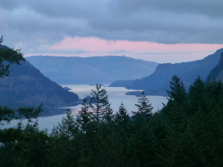
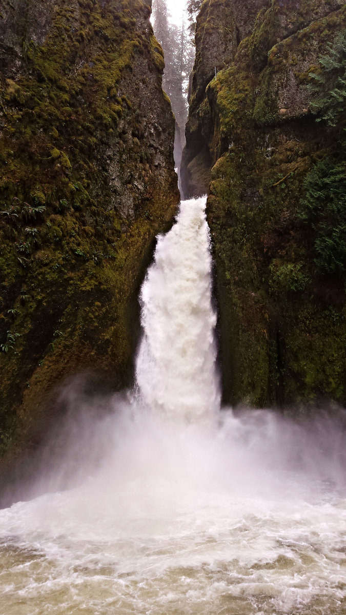
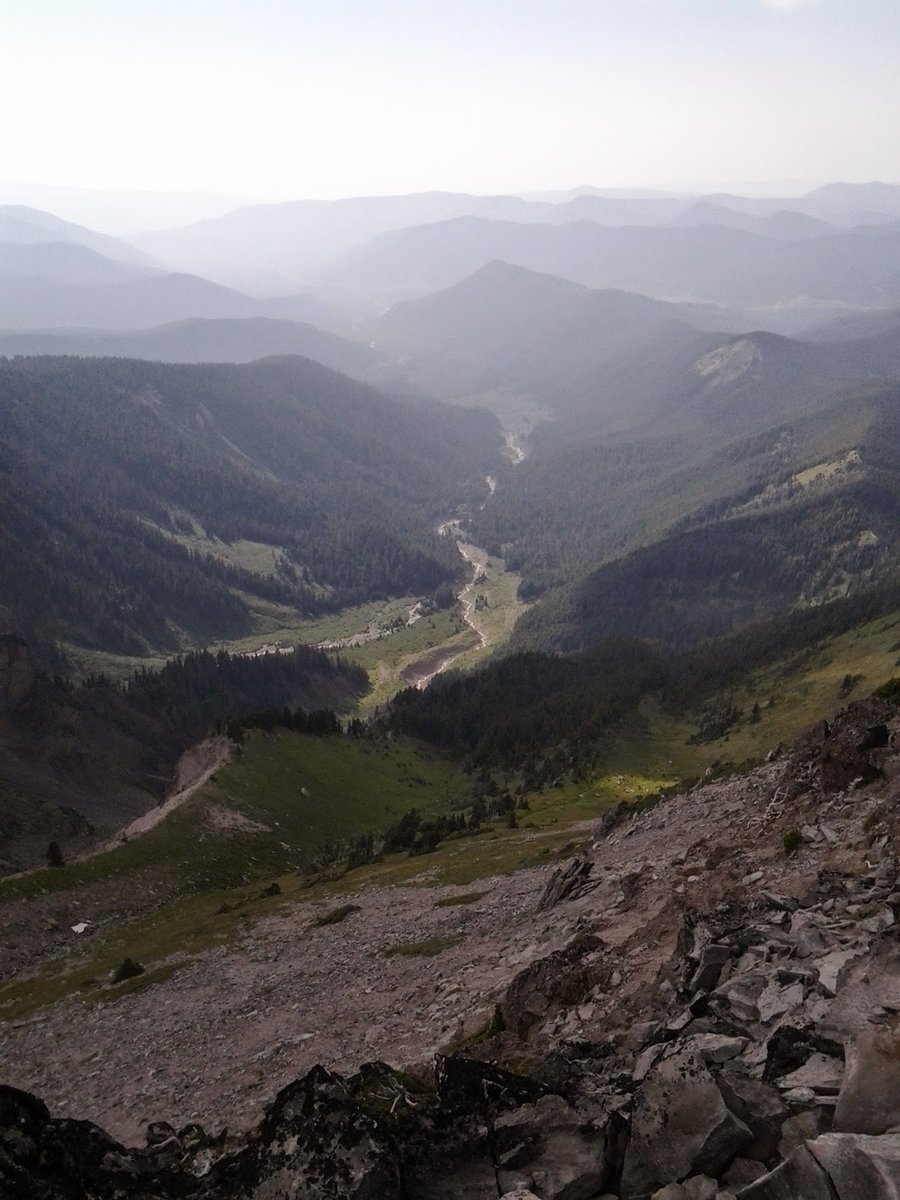
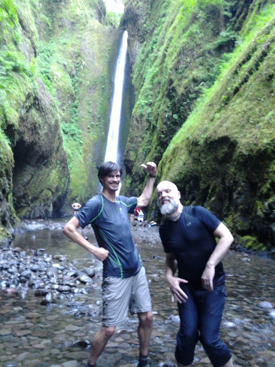
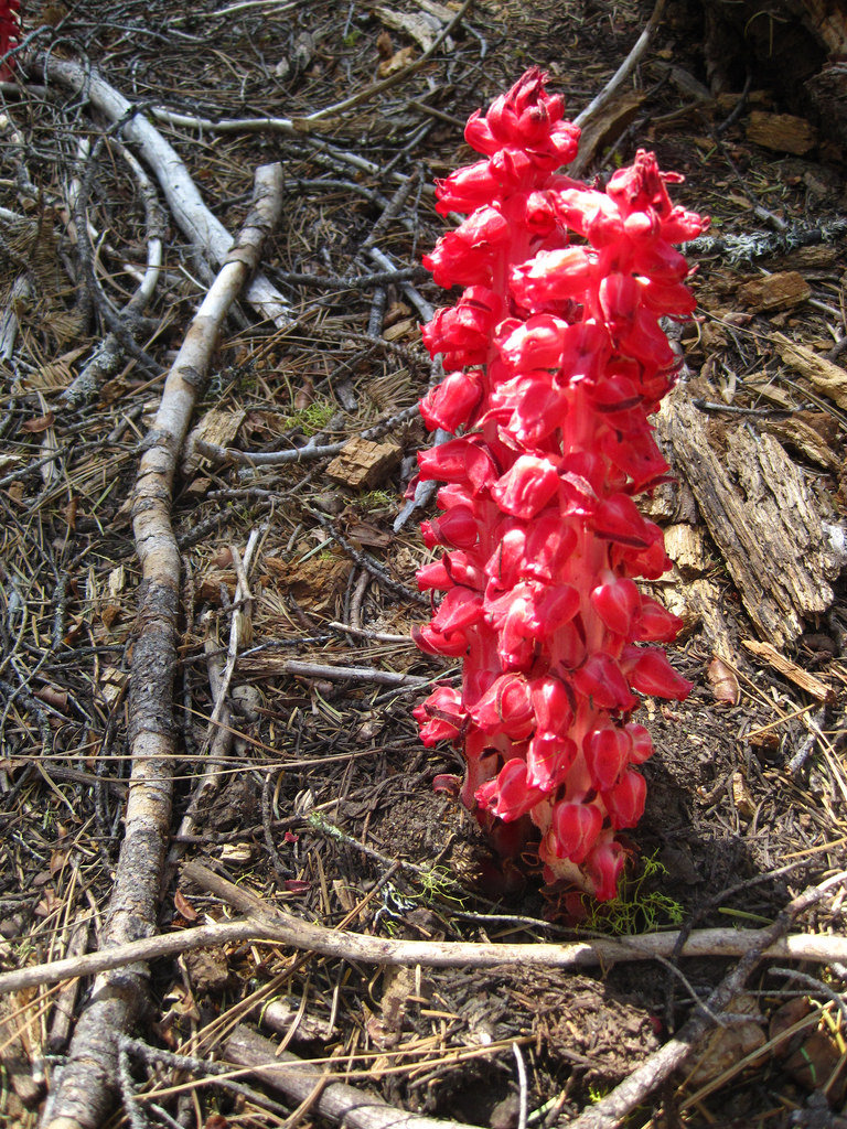
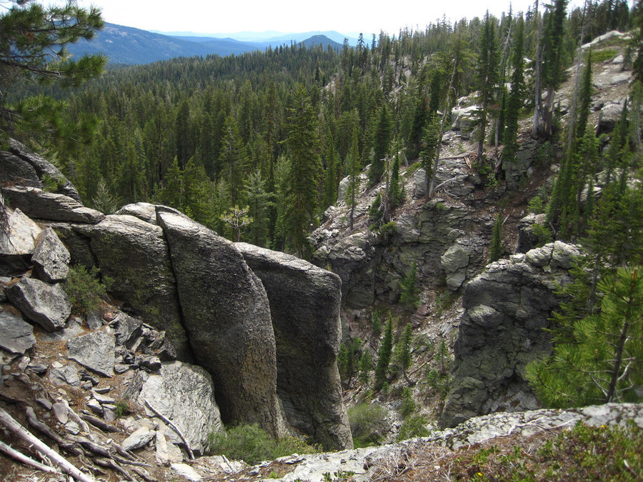
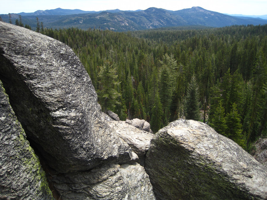
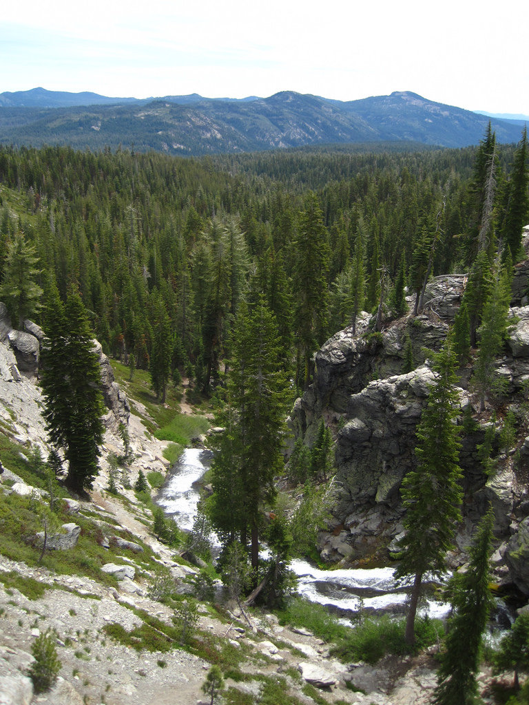
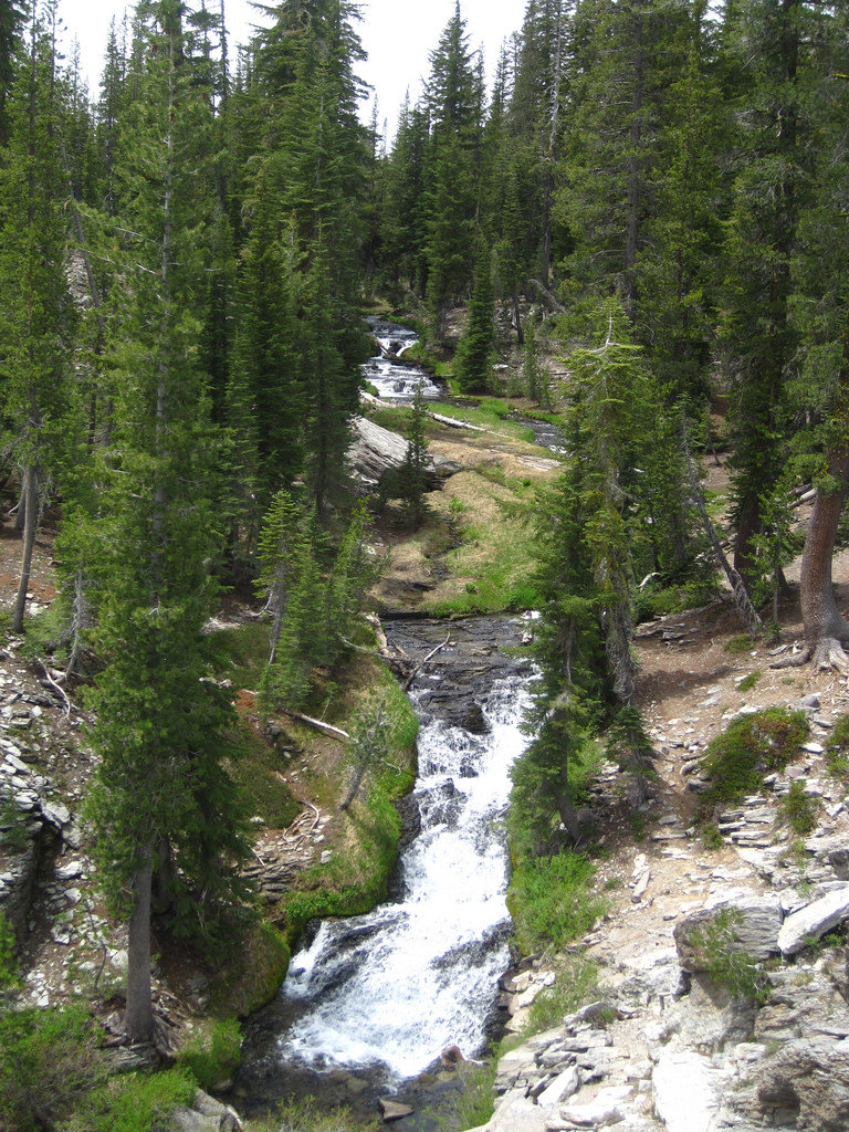
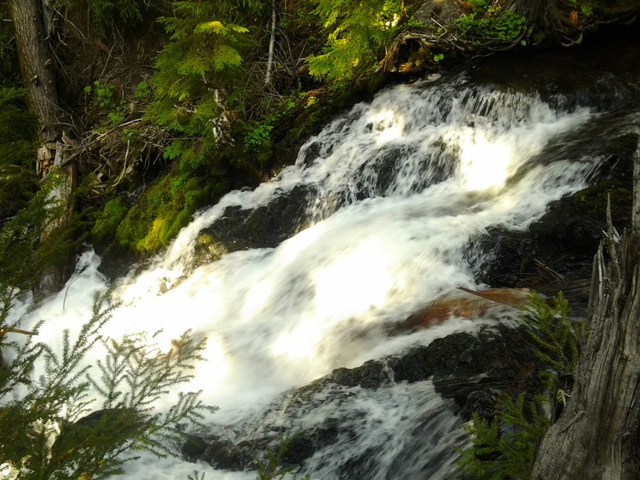
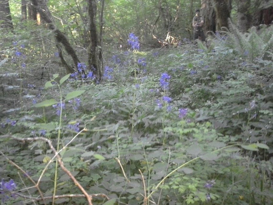
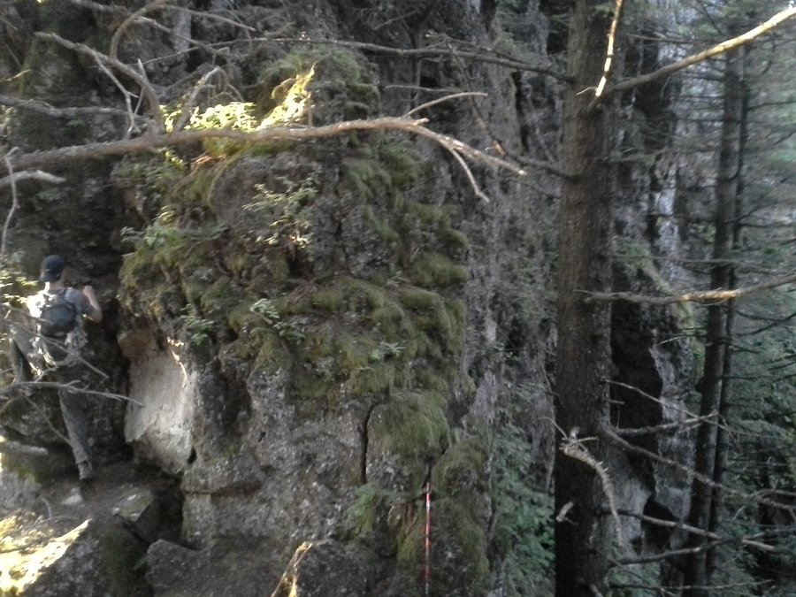
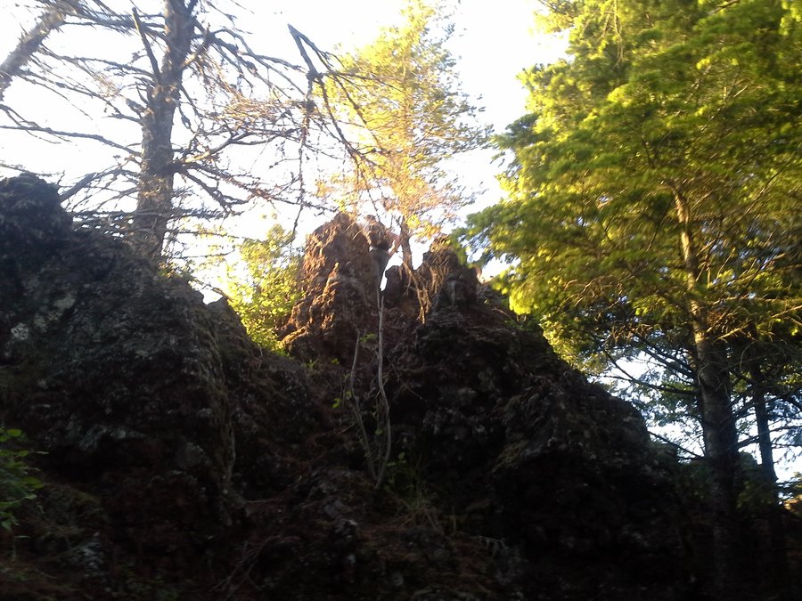
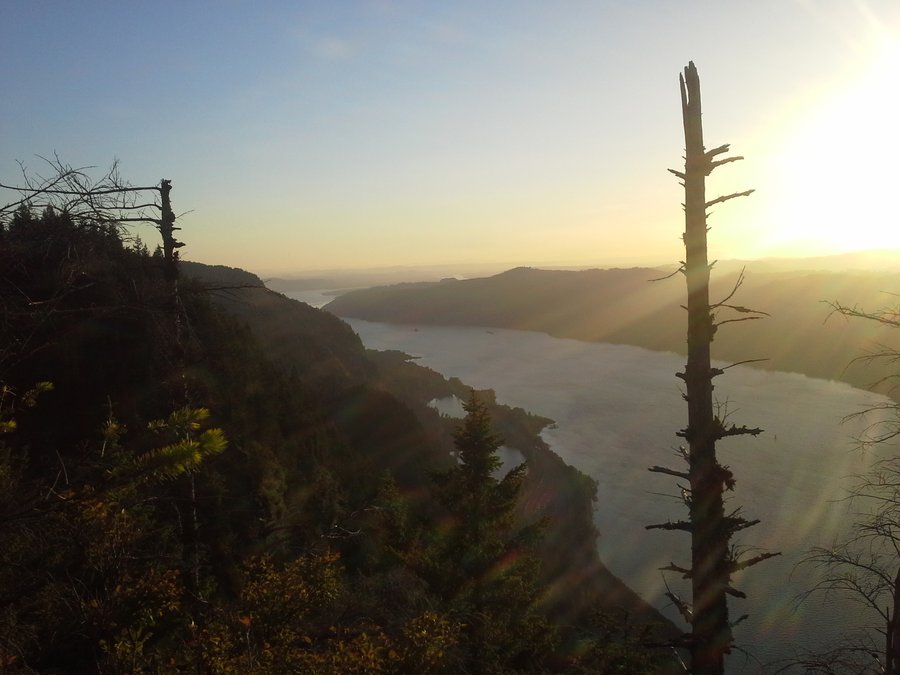
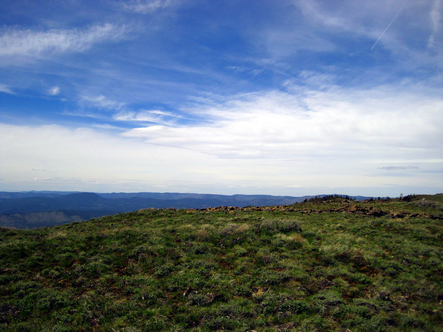
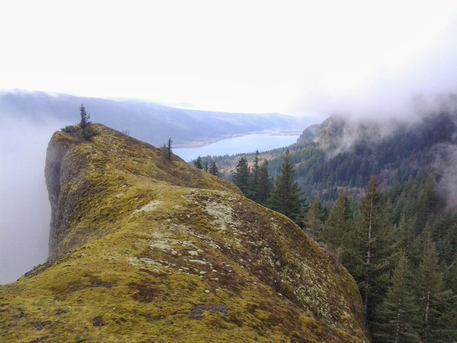
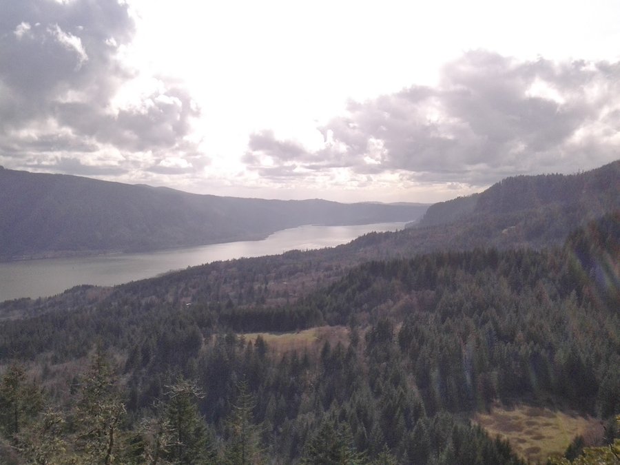
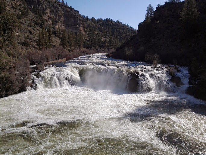
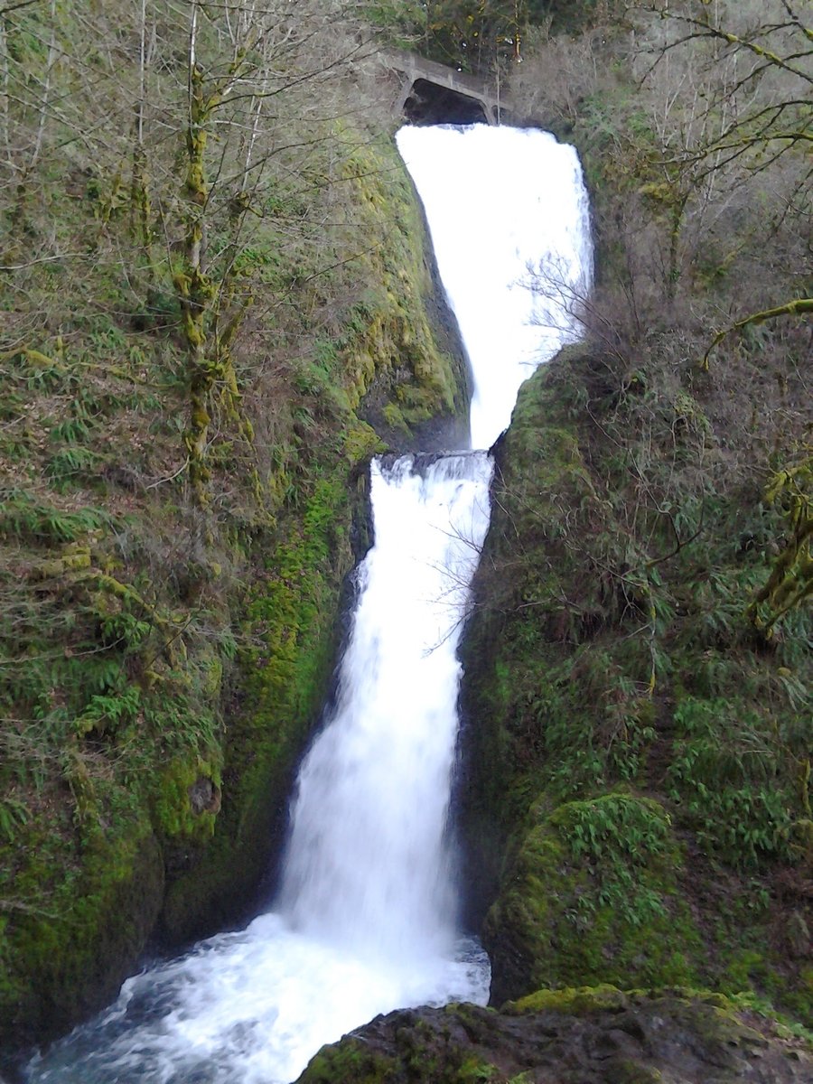
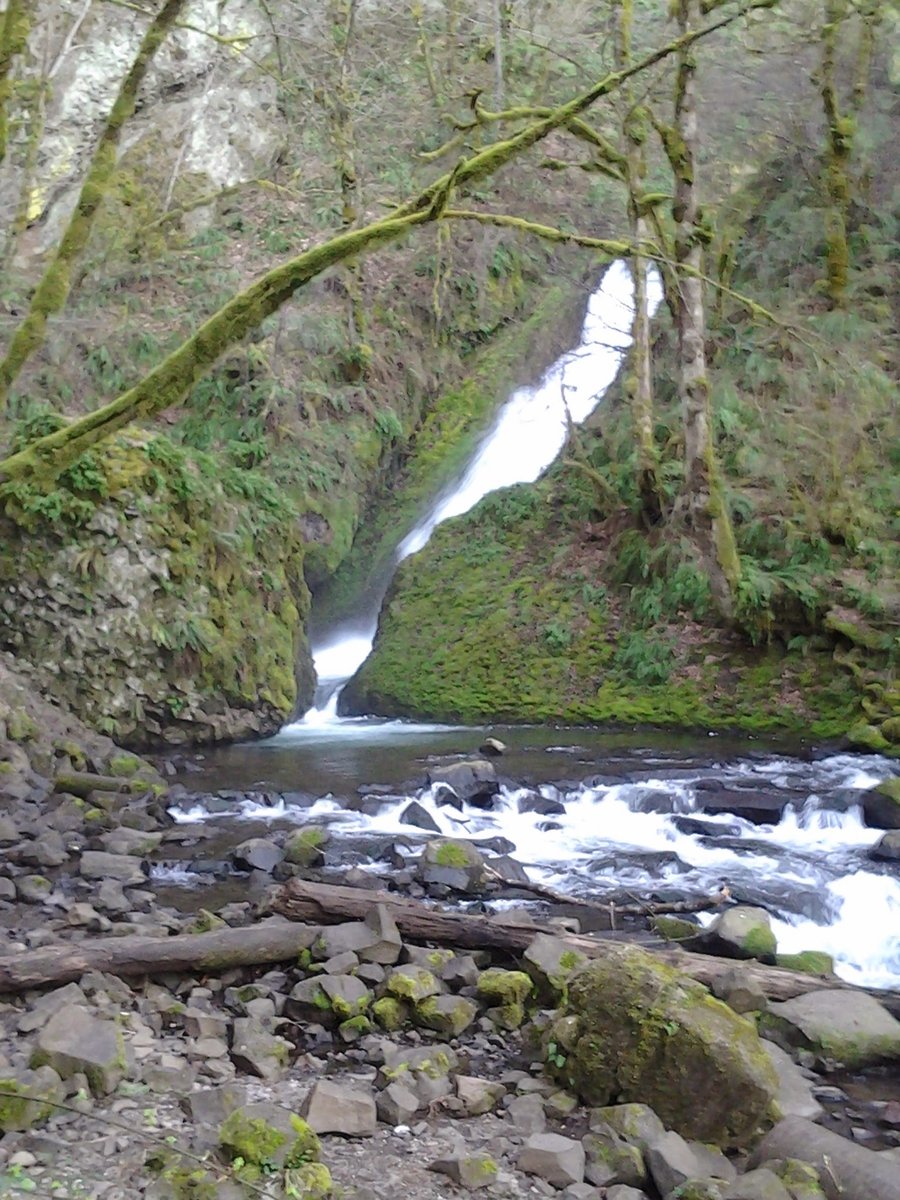
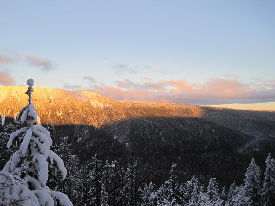
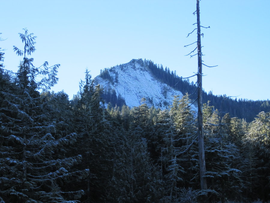
Indian Point from Herman Creek
8 miles of hiking • 3250' elevation gain •
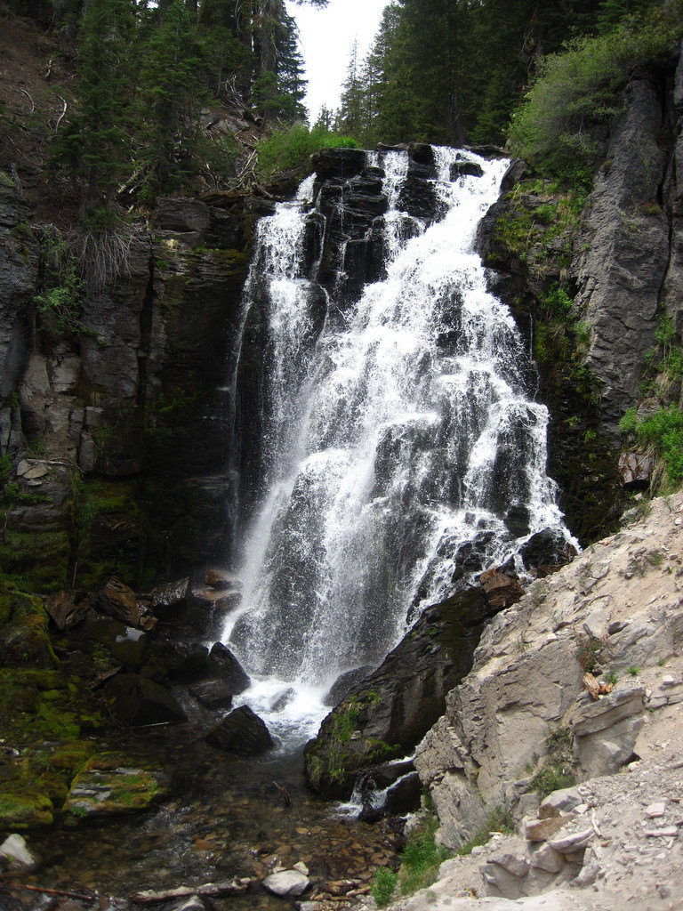
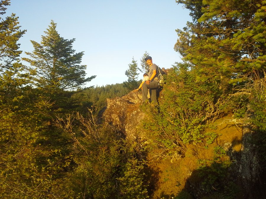
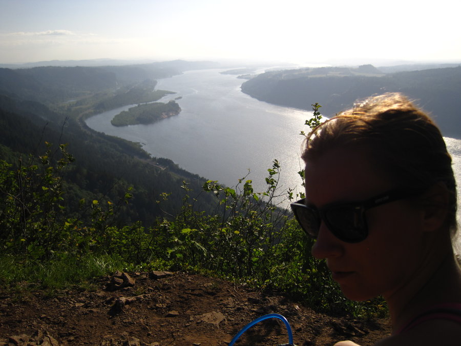
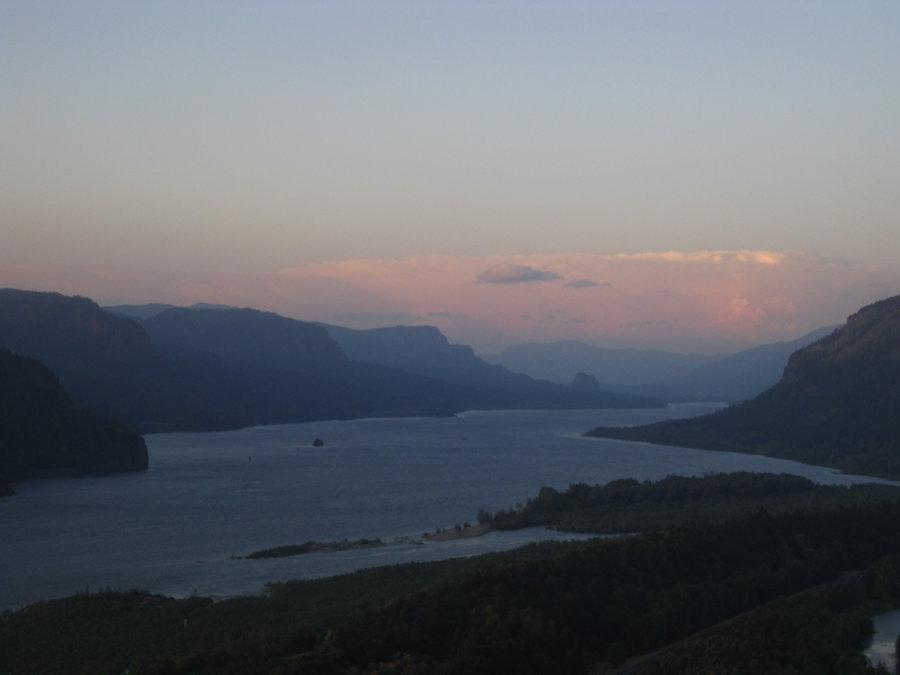
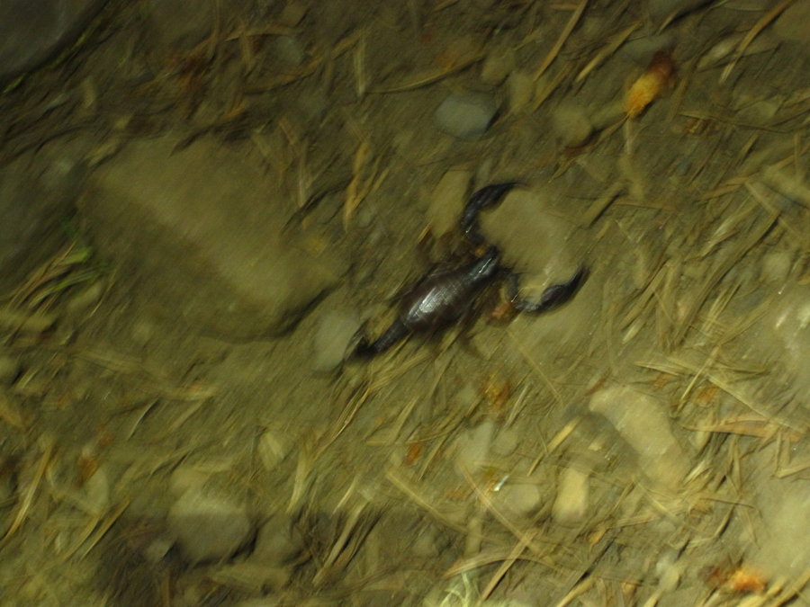
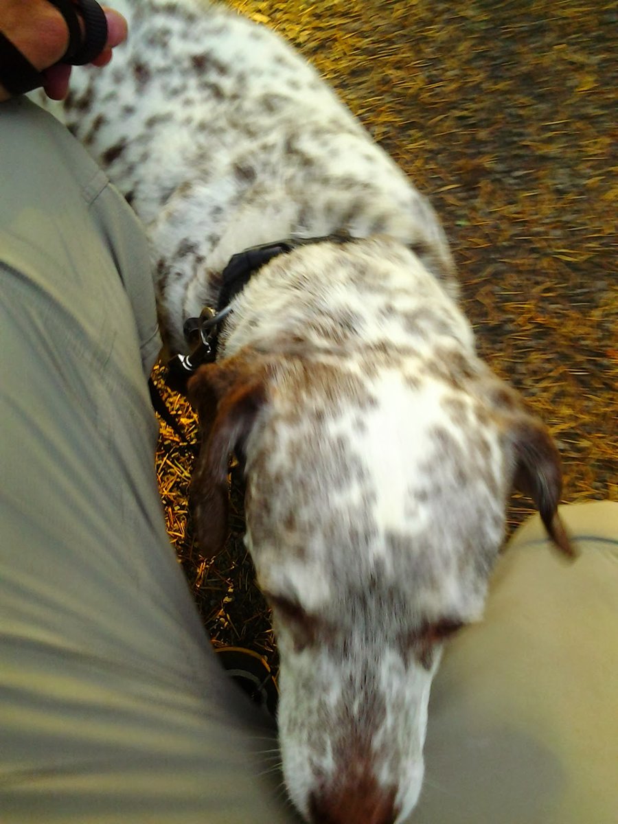
Not too nice of a day up at Indian Point. It was quite amazing to see the wind in the gorge making Mist Falls flow UP on the drive out. Gorton Creek side of the loop was socked in and quite windy in places and cold. These same winds were pushing the fog in the gorge from the East (normally the other way around) and when you stood on the ridgetop, you would see a fog cloud traveling towards you from below at 50 mph and it would sock you in. Occasional breaks would allow you to see the river almost 3000' below, making it an insanely high and cool viewpoint. I'm gonna have to see this place in clear weather. Walking back on Nick Eaton with exposure to the West, it was calm (almost eerily in comparison to the East) and the sun broke through the gray. Back towards Portland was blue skies for miles! DOH!
December 14, 2014


.jpg)


 2
2
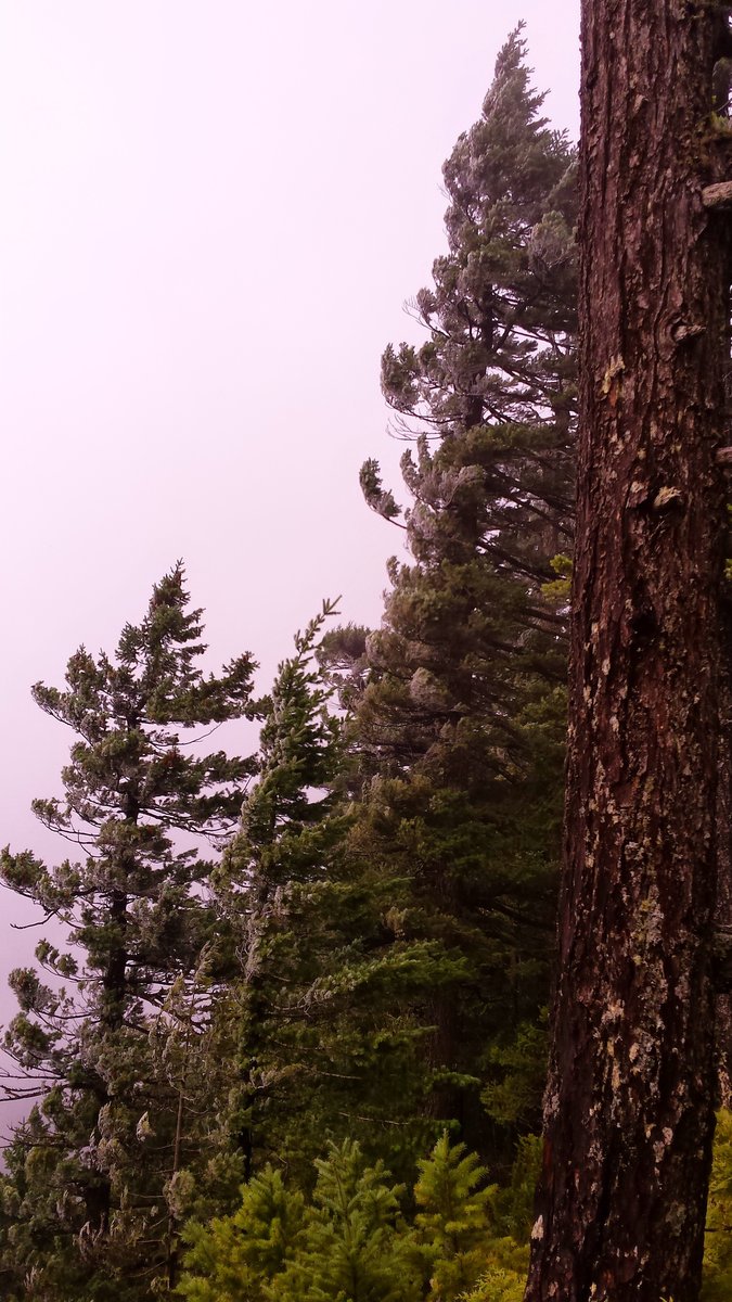
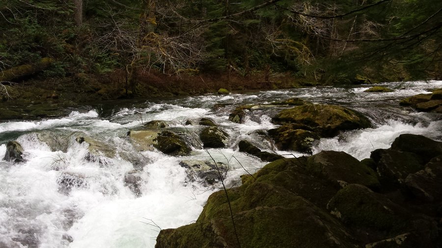
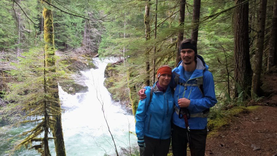
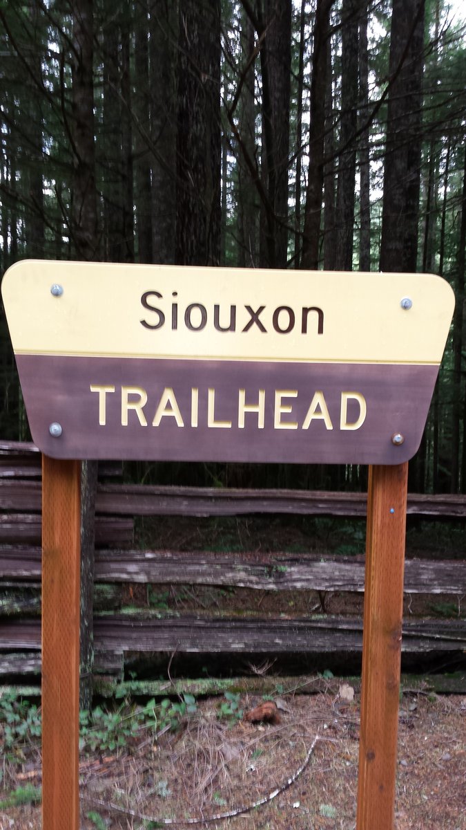
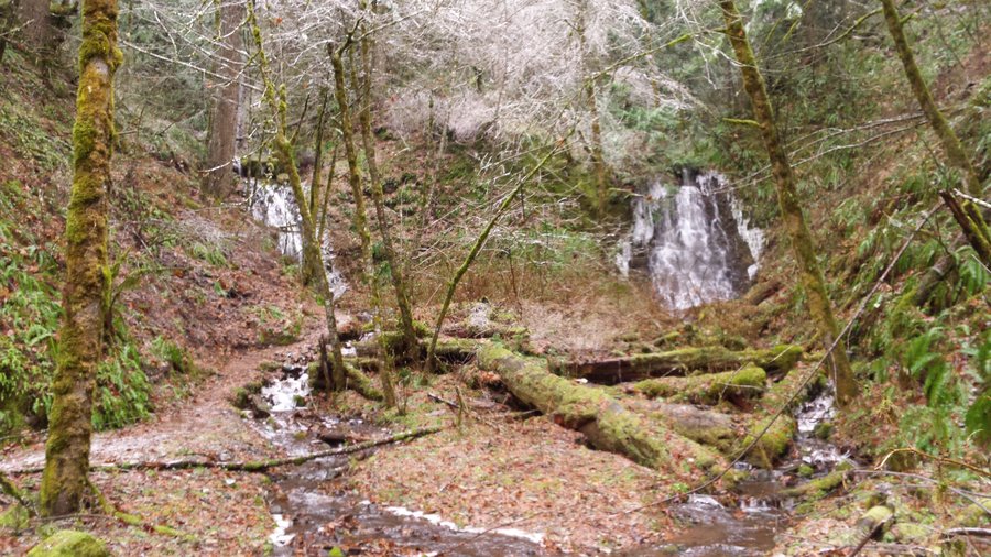
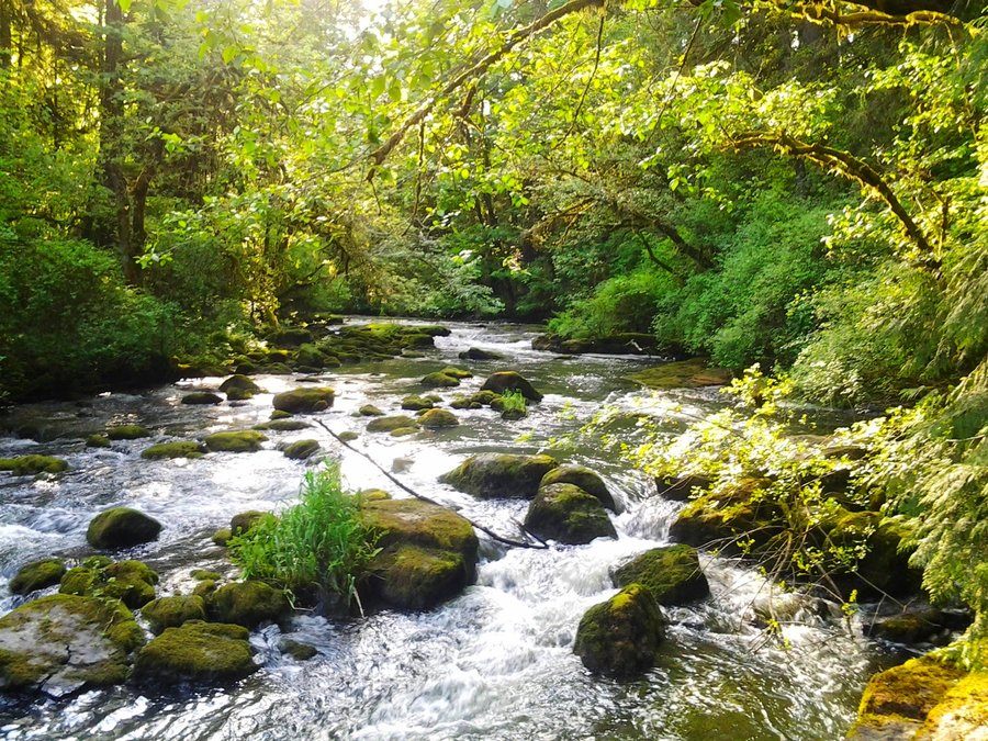
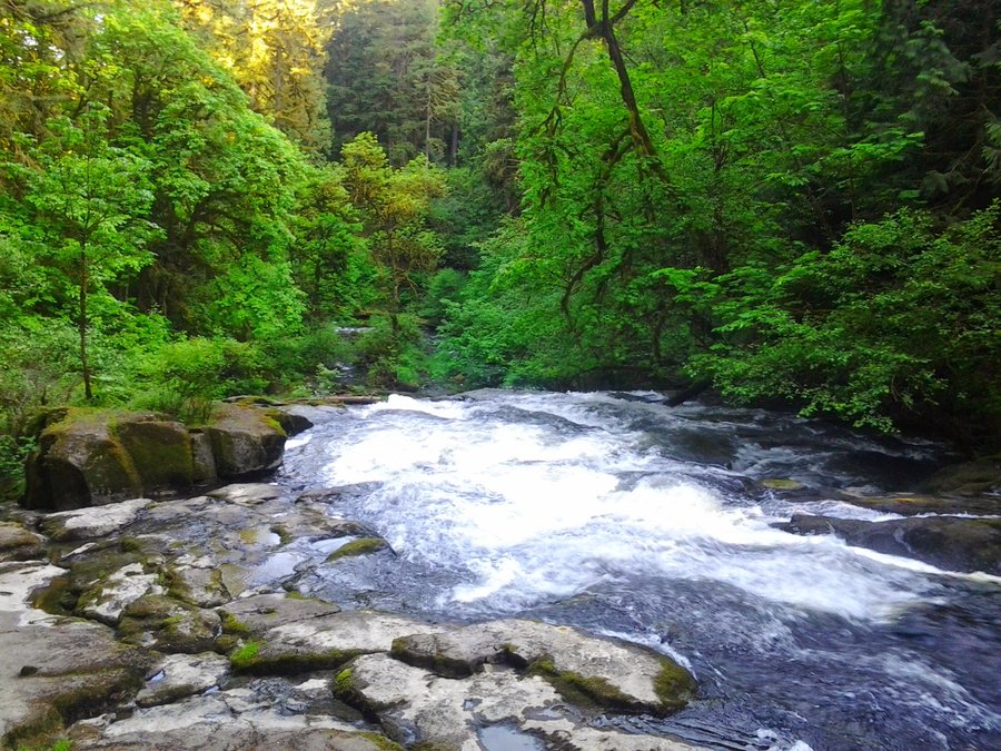
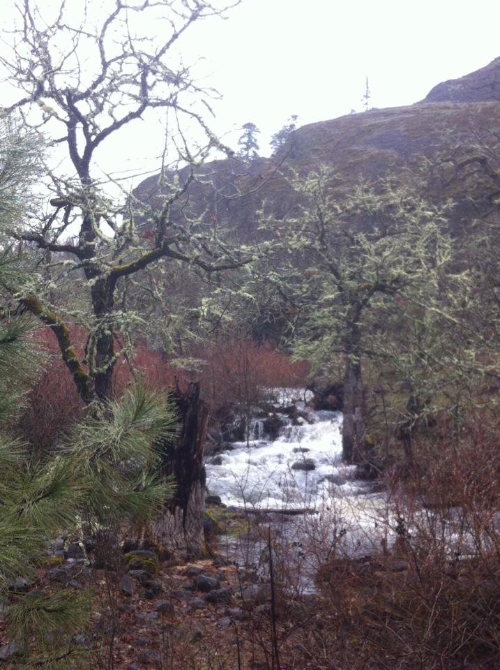
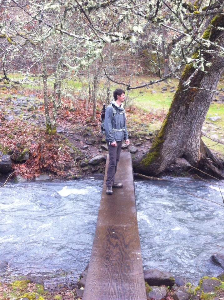
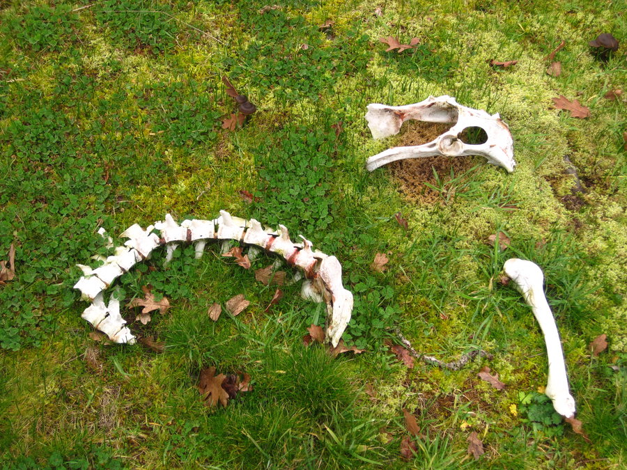
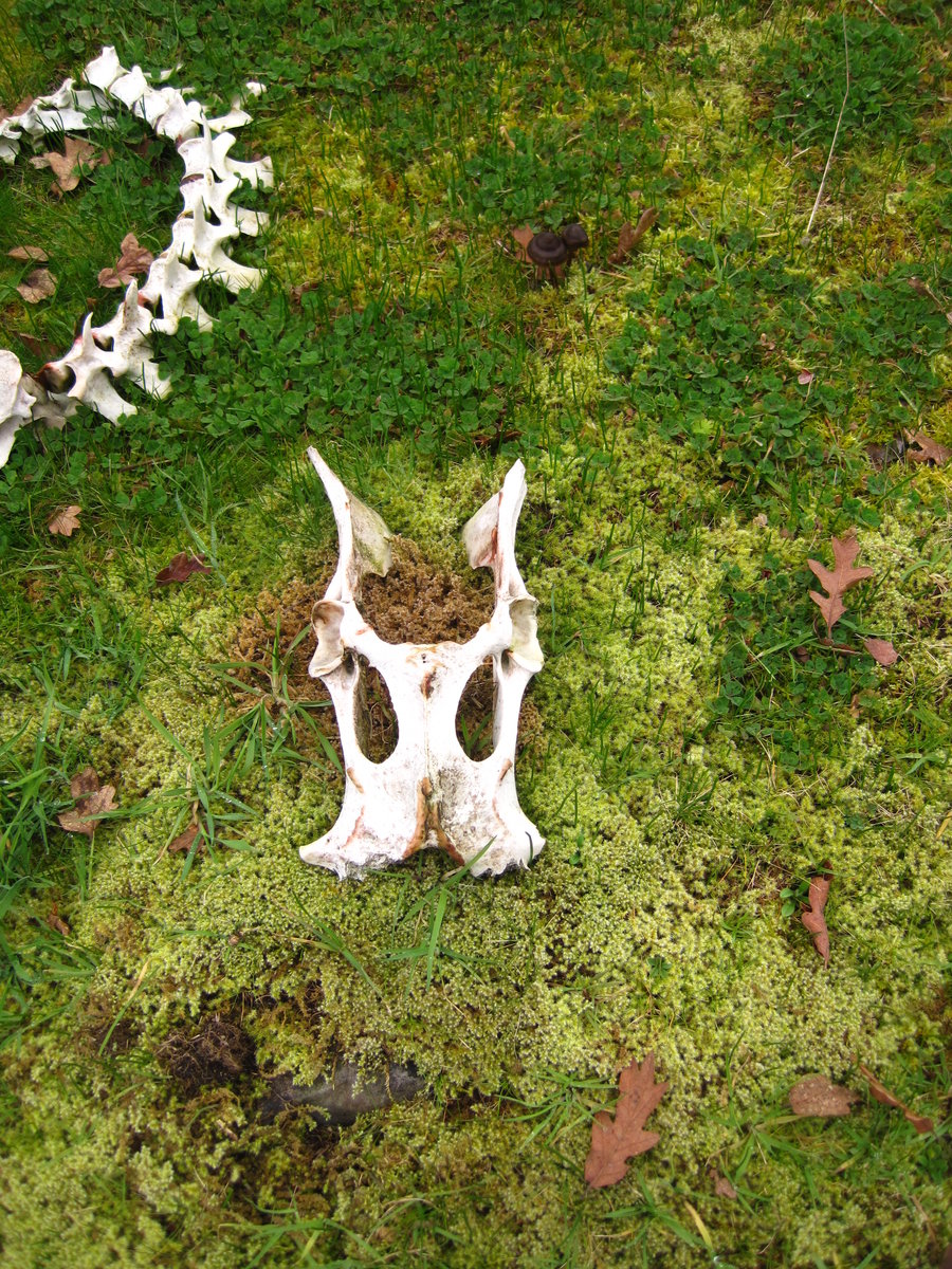
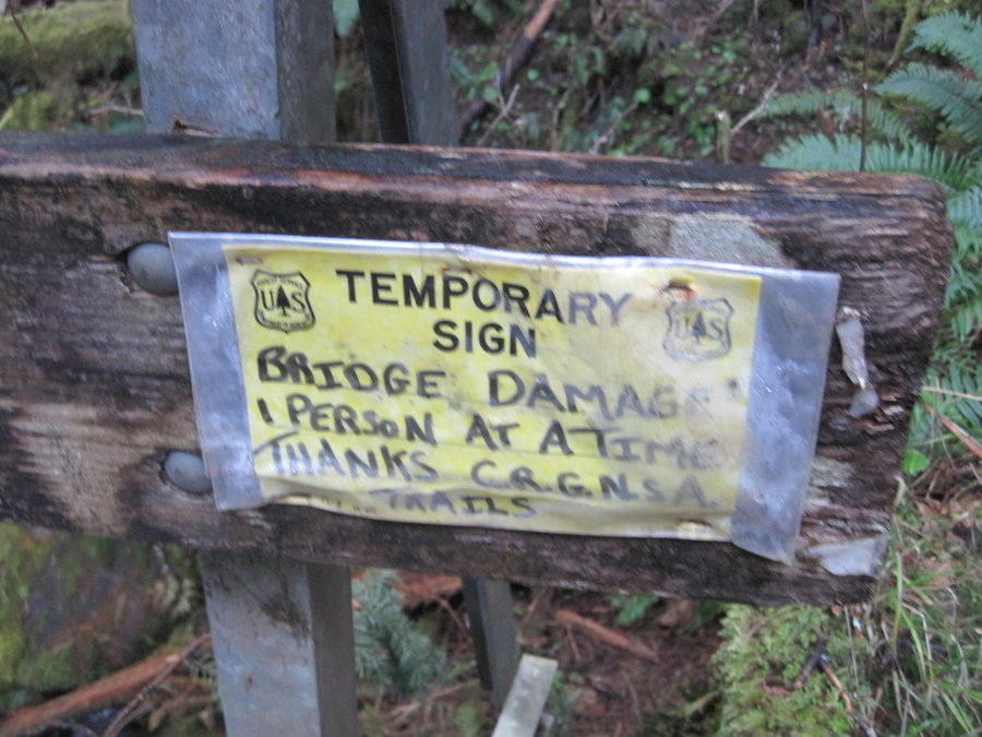
Siouxon Creek
8.3 miles of hiking • 750' elevation gain •
Easy out and back dayhike on a gray day. Only saw 10 people all day, and no one until on the way back from Chinook Falls. The bridge is still in, but you can tell it's rotting quickly. Slippery crossing just before the closed bridge was flowing really good, not very easy to avoid getting wet.
December 7, 2014

.jpg)
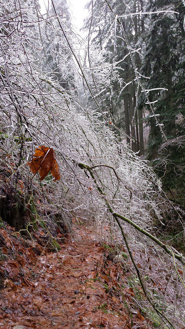
Wauna Point fail
8 miles of hiking • 1750' elevation gain •
Lots of crazy ice, rain and cold temps conspired to keep us from reaching much beyond the Tanner Butte TH. Hiked Rd 777, 400, Wahclella Falls Trail & back.
December 6, 2014

 1
1
November 30, 2014
 2
2
November 8 – November 9, 2014

_(1).jpg)
Riomaggiore to Manarola, Cinque Terre, Italy
7.5 miles of hiking • 1500' elevation gain •
Also includes Vernazza to Corniglia the following day and the Sanctuary trail from above Monterosso to Vernazza.
TR @ http://www.portlandhikers.org/forum/viewtopic.php?f=8&t=20308
October 6, 2014

.jpg)
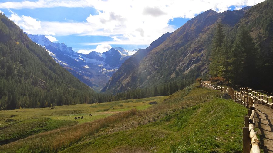
Valle D' Aosta - Gran Paradiso Nat'l Park
4 miles of hiking • 1500' elevation gain •
Trip Report:
http://www.portlandhikers.org/forum/viewtopic.php?f=8&t=20267
October 1, 2014

 1
1
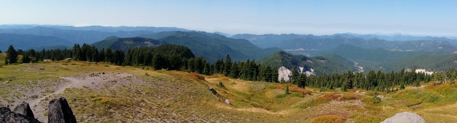
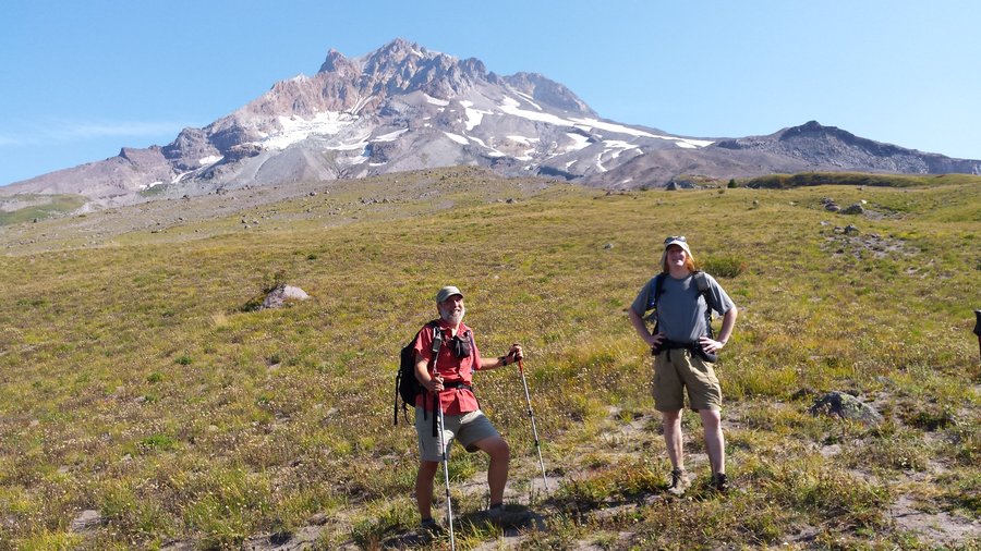
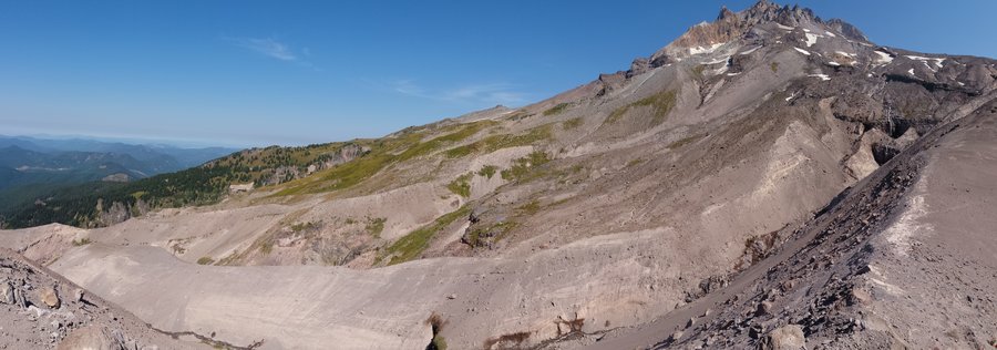
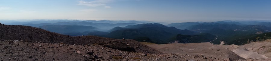
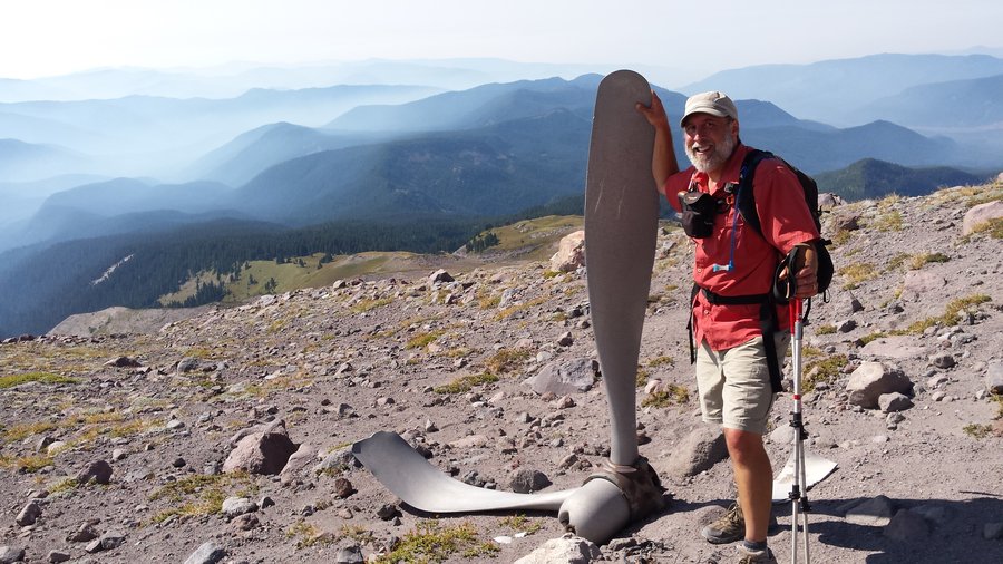
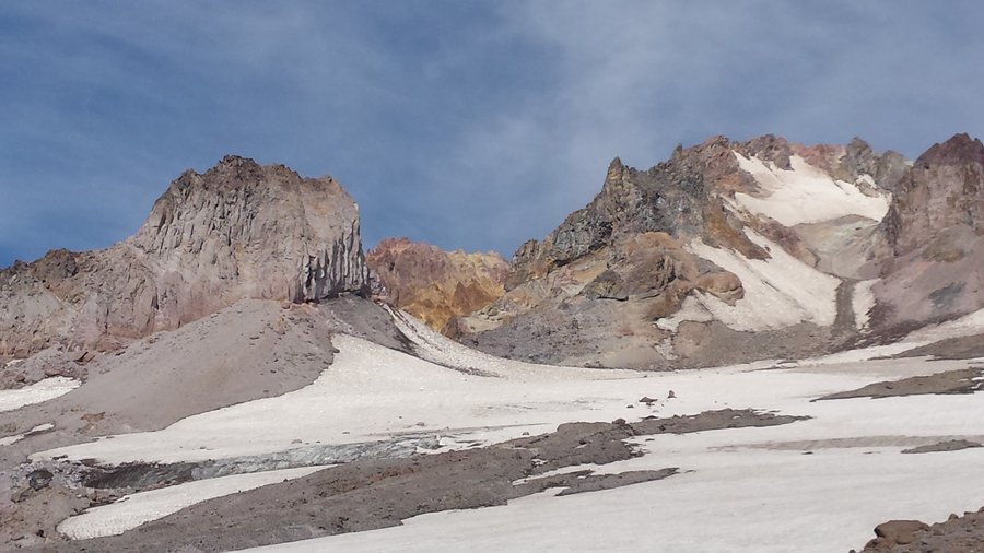
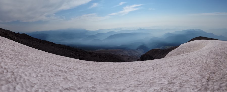
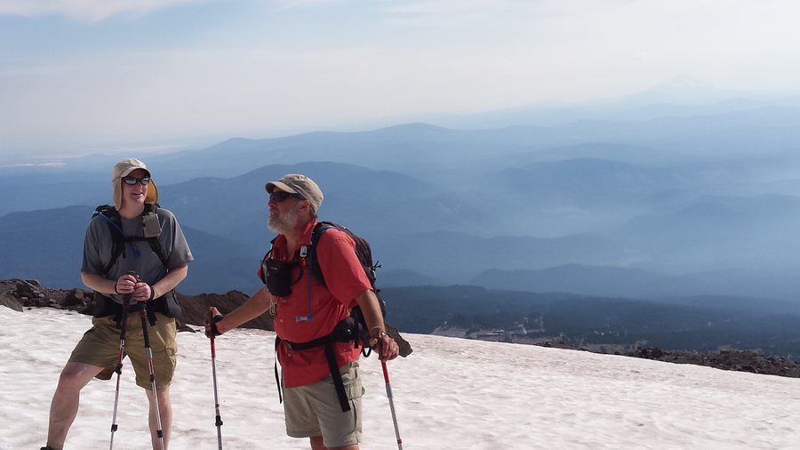
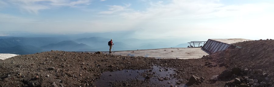
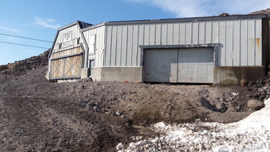
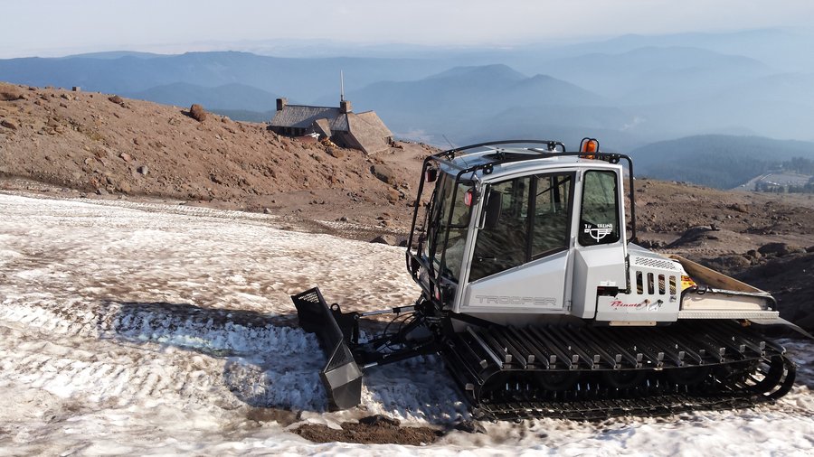
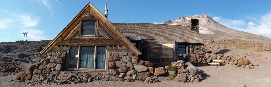
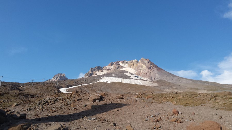
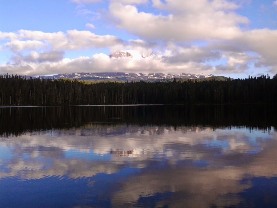
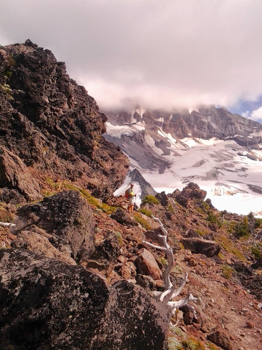
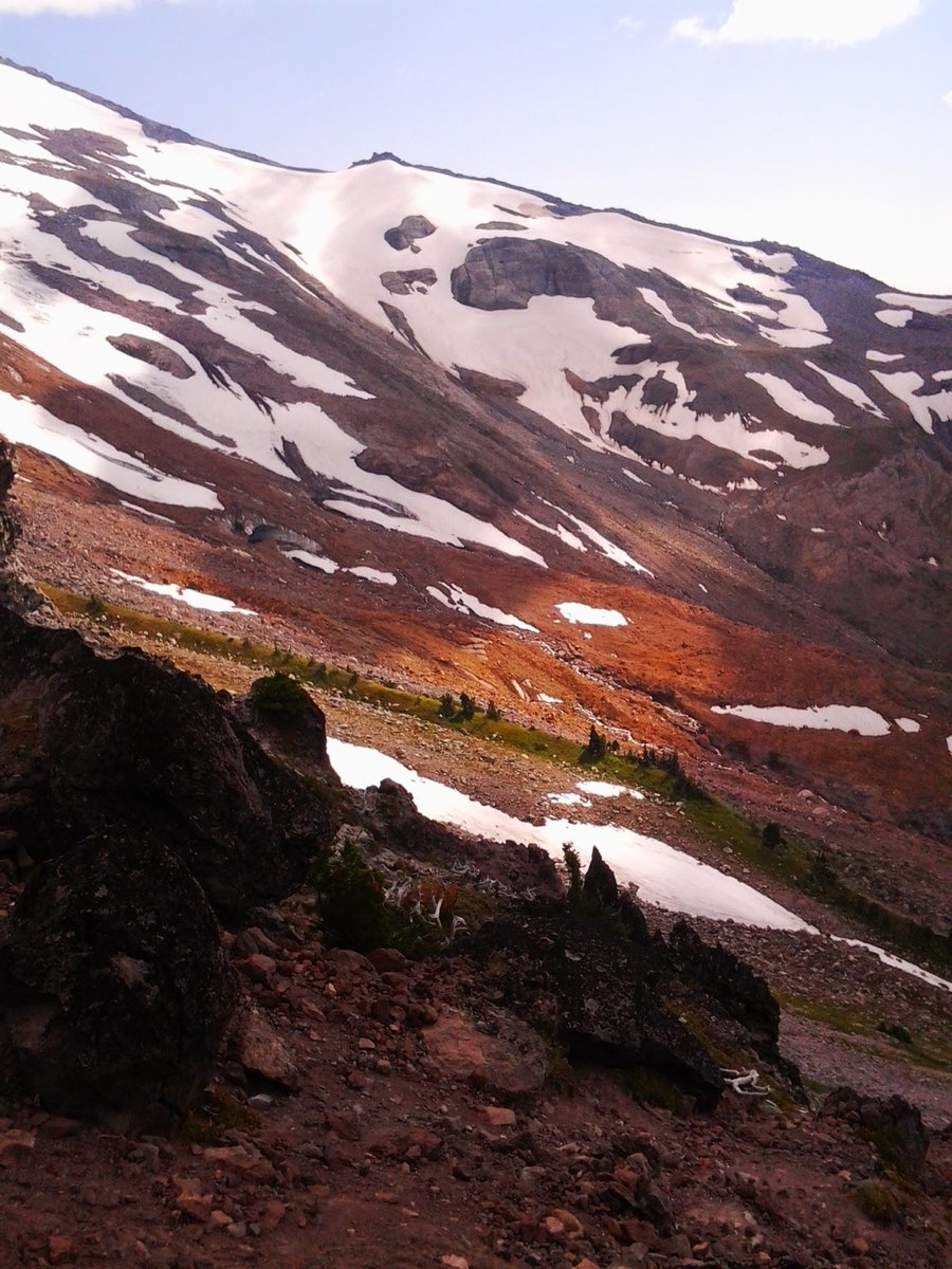
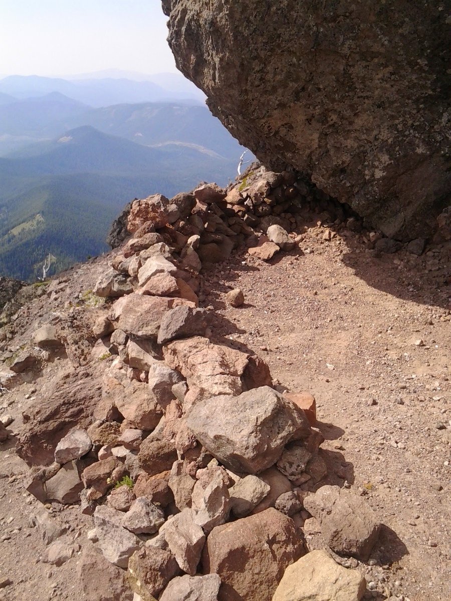
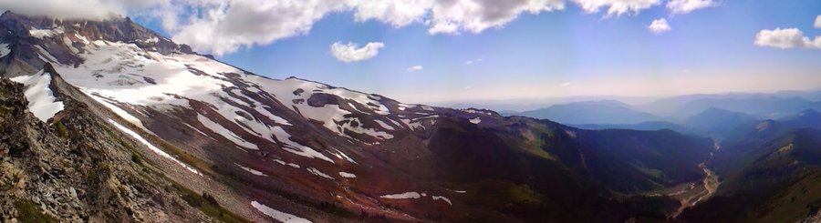
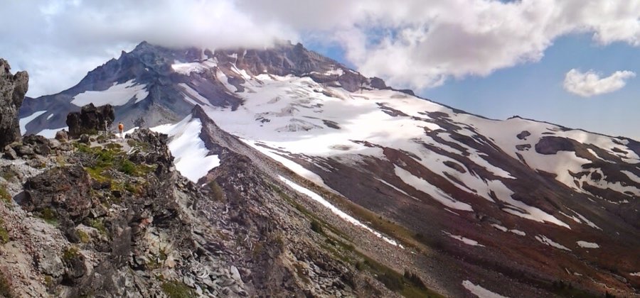
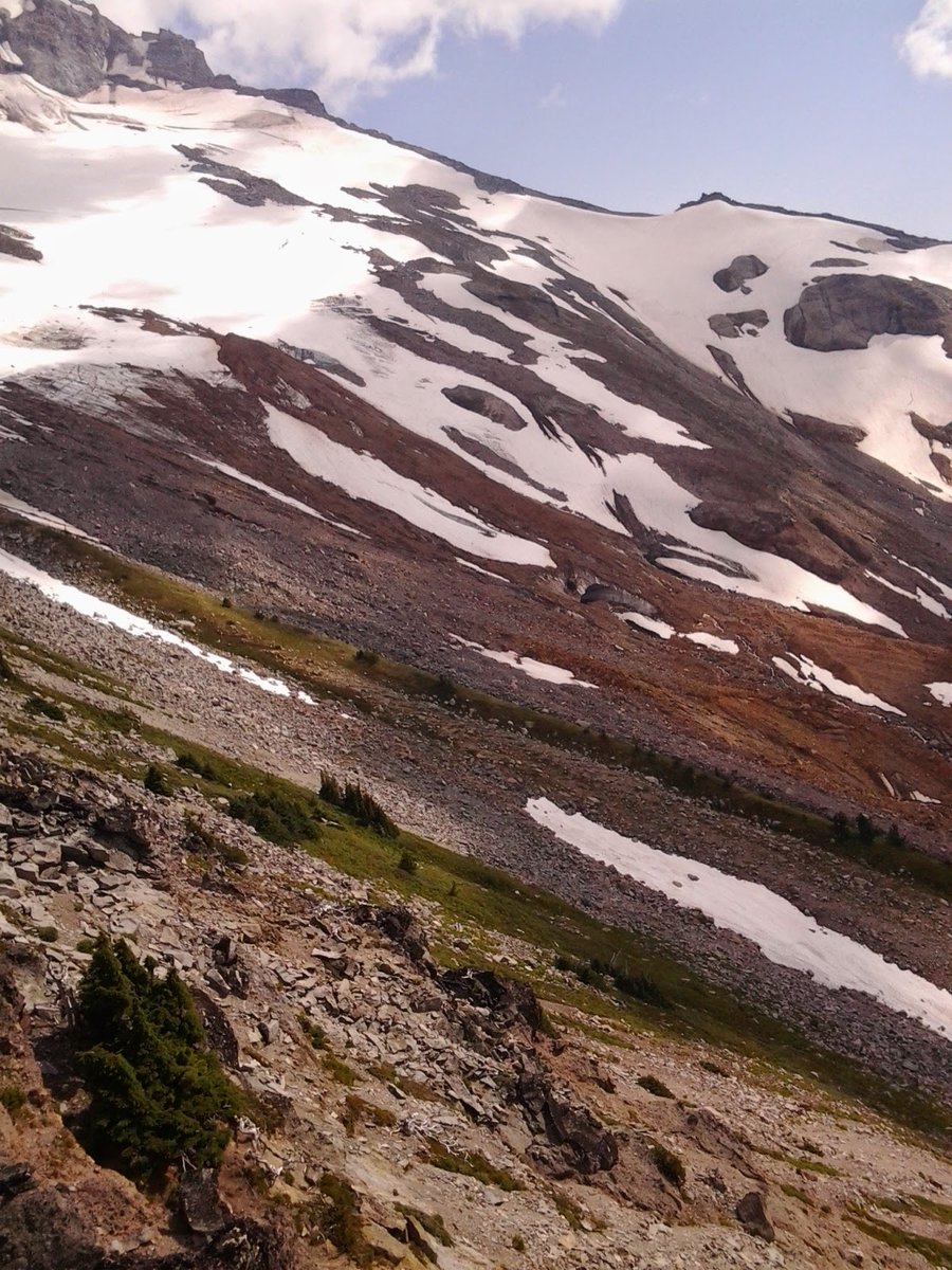
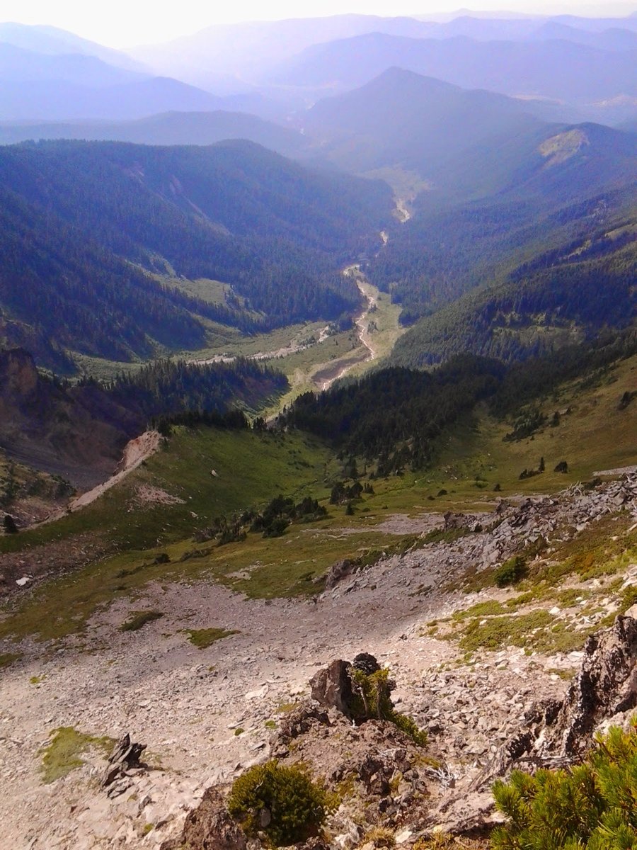
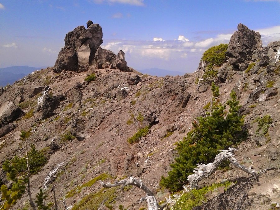
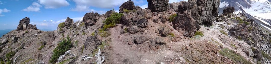
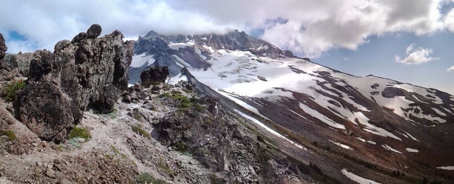
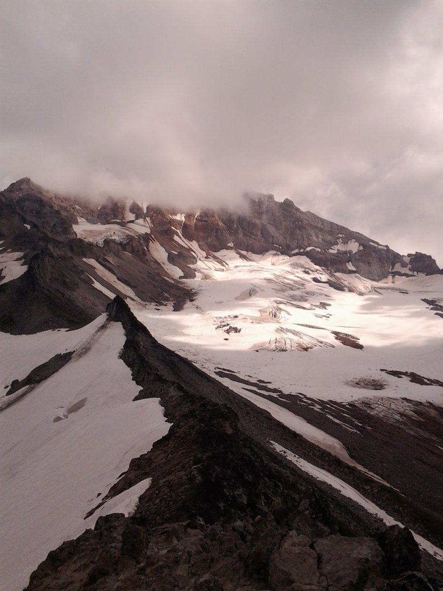
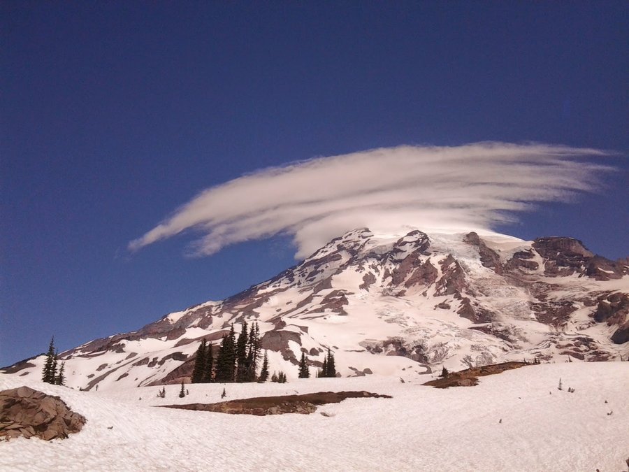
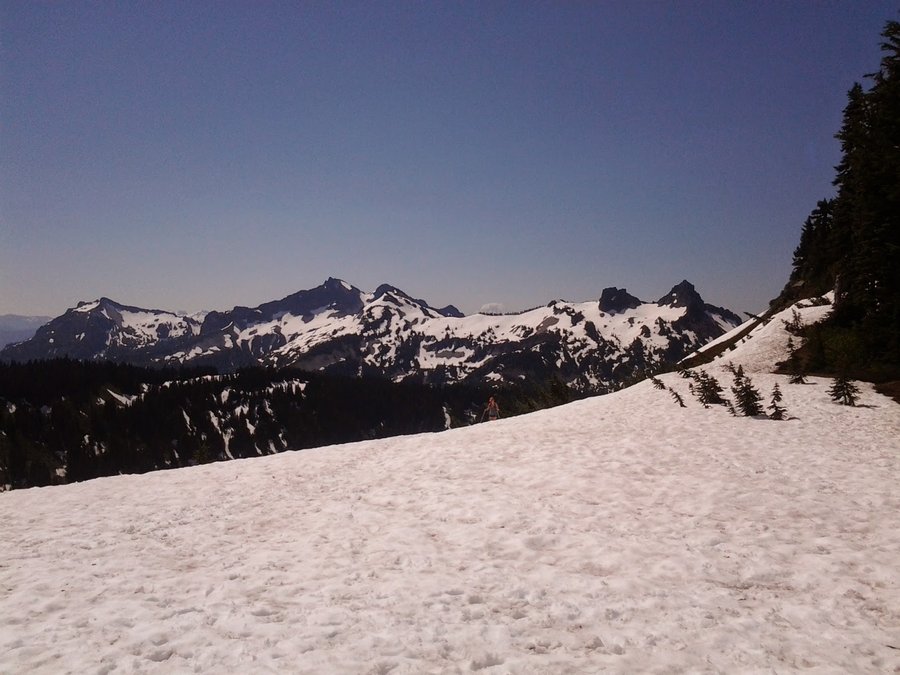
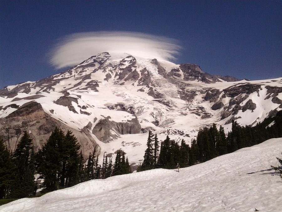
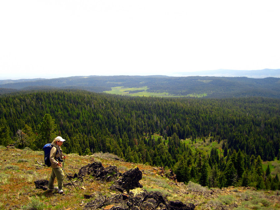
Mississippi Head - Mt Hood NF
12.5 miles of hiking • 4500' elevation gain •
Awesome dayhike w/ Karl & Brad to 8600' on Mt Hood. Didn't quite make it up to the Illumination saddle, but great views (though increasingly smoky) and an amazing backdrop made for a memorable day.
September 21, 2014


 1
1
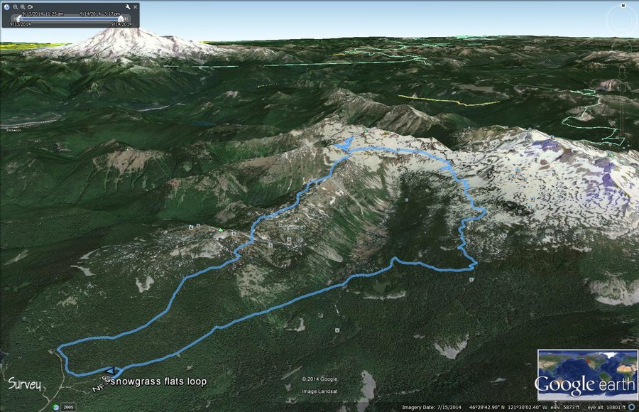
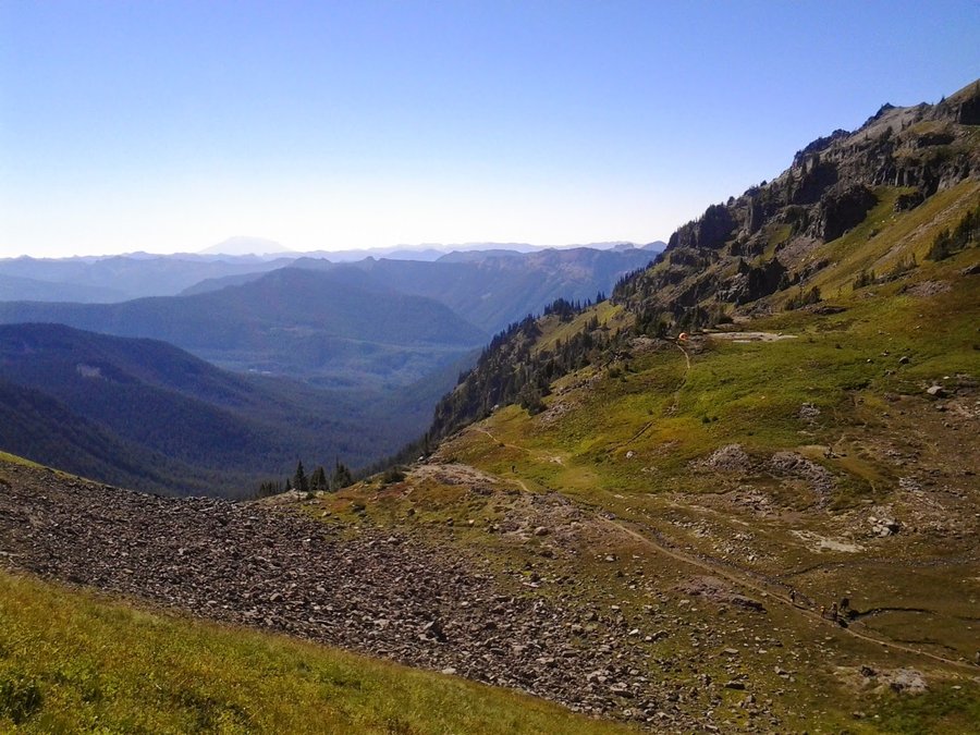
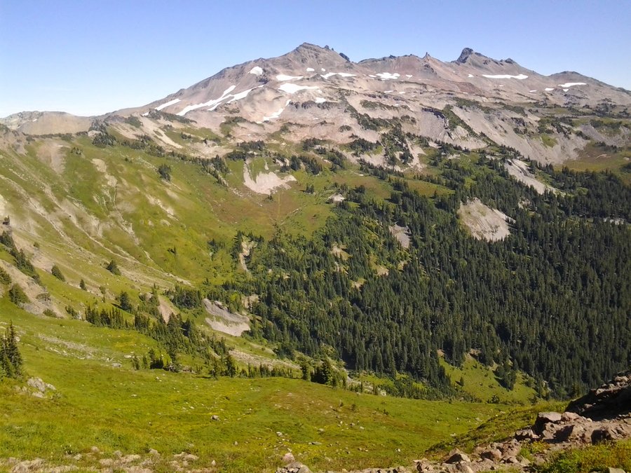
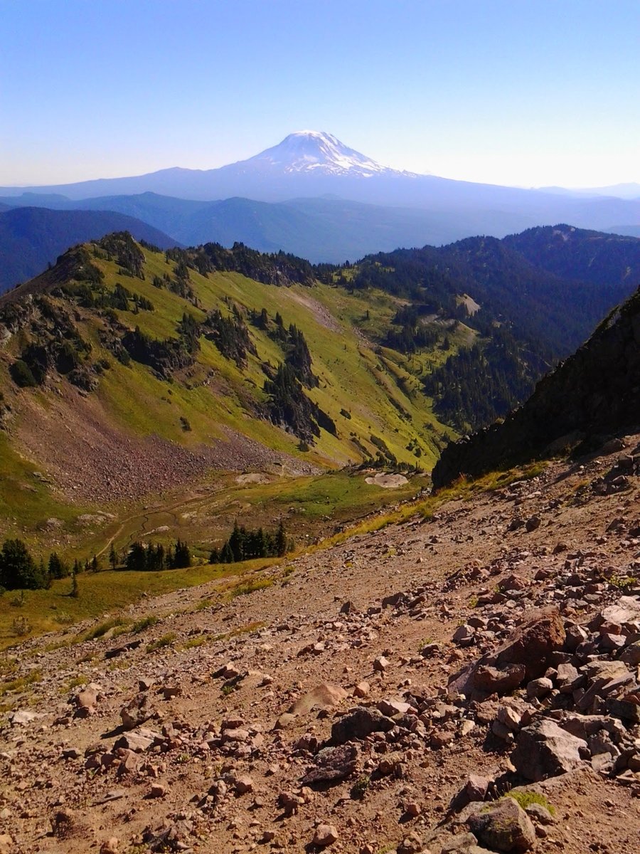
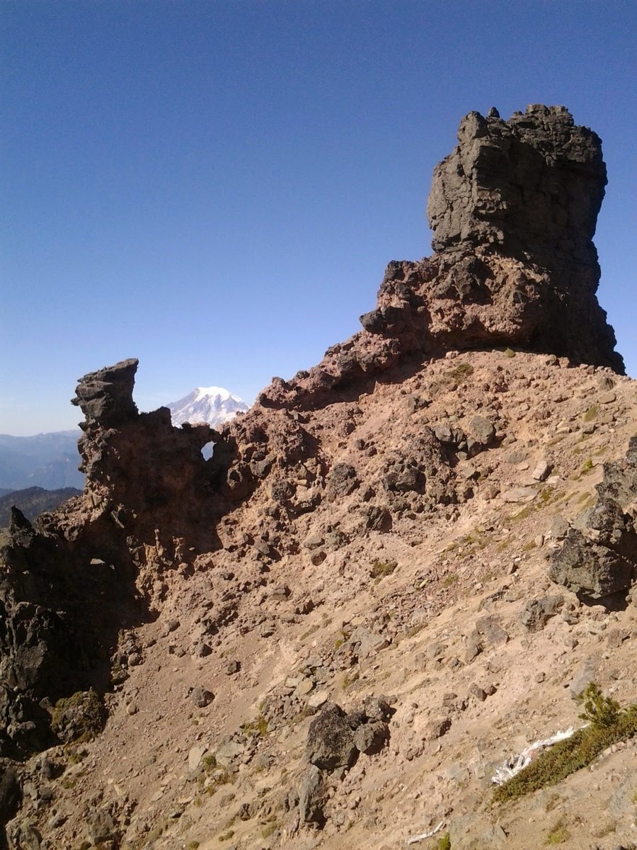
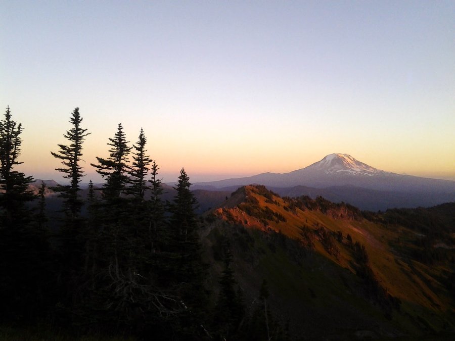
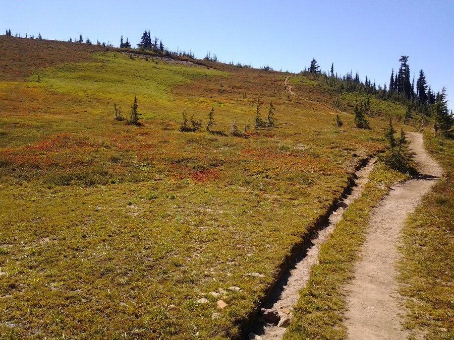
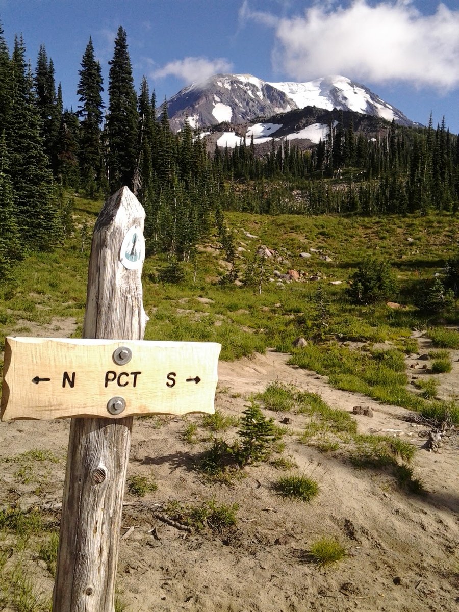
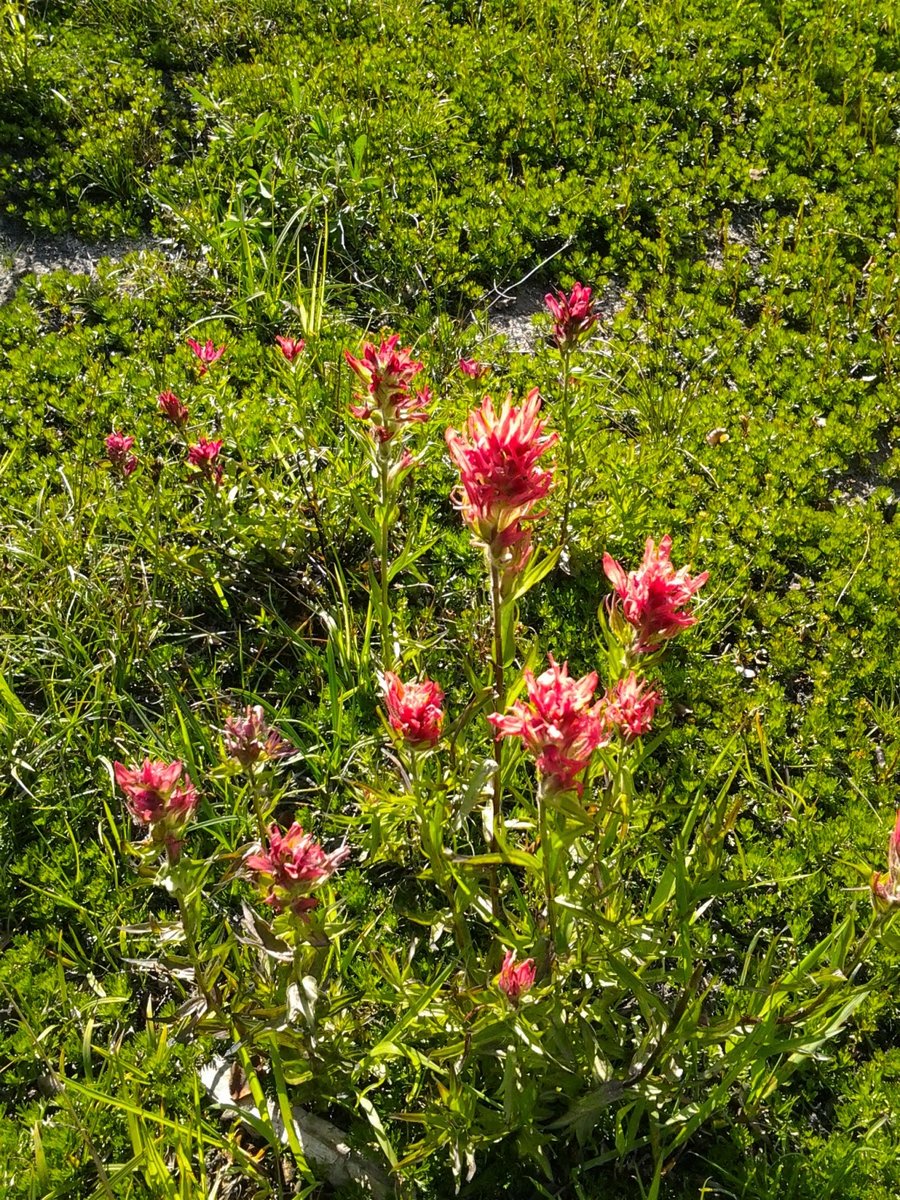
Snowgrass Flats Loop - GRW
14 miles of hiking • 3500' elevation gain • 1 night
Yay! 500 miles for the year already!
Took the loved one around the loop, up Goat Ridge, camped above Jordan Basin below Hawkeye Point's "false summit". Terrific sunset and star filled night sky. I awoke a 3am and the moon had all the mountains lit up and I felt like I was on another planet. Goat Lake was 2/3 melted out, thin crust of ice in the morning. There must've been 100 people on the trail, including alot of off leash dogs that chased after marmots and goats. No bugs of note up high, flowers pretty much done.
September 13 – September 14, 2014


Oxbow Park
5 miles of hiking • 750' elevation gain •
After work leg stretcher through the backdoor. No salmon yet, I'll keep checking.
September 12, 2014

Oxbow Park (North)
3.5 miles of hiking • 750' elevation gain •
Quiet walk on a seldom visited part of the park, on the opposite bank of the river. Driveway, service road, fisherman's trail, road walk to make a loop.
September 4, 2014

Milo McIver
3 miles of hiking • 250' elevation gain •
After work exploration of a Metropark. Nice disc golf course, trails through the forest were so so.
September 4, 2014
 1
1
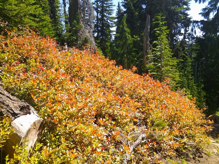
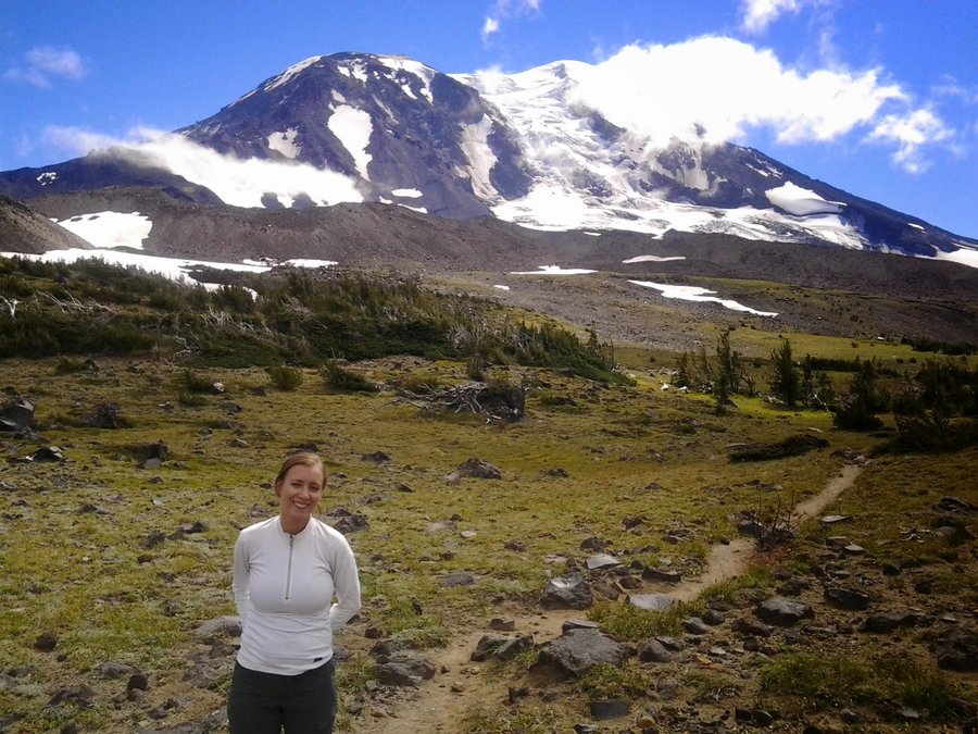
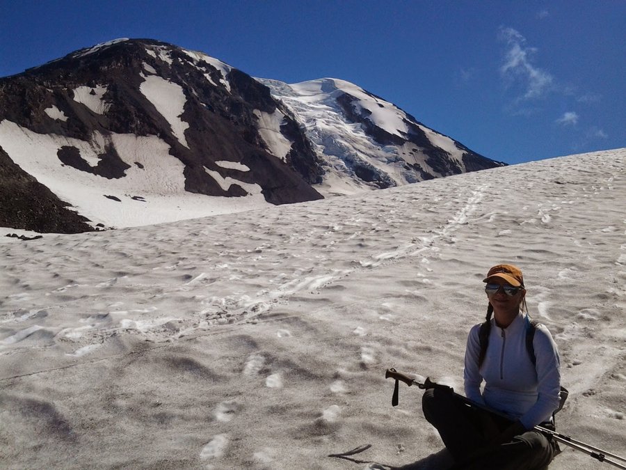
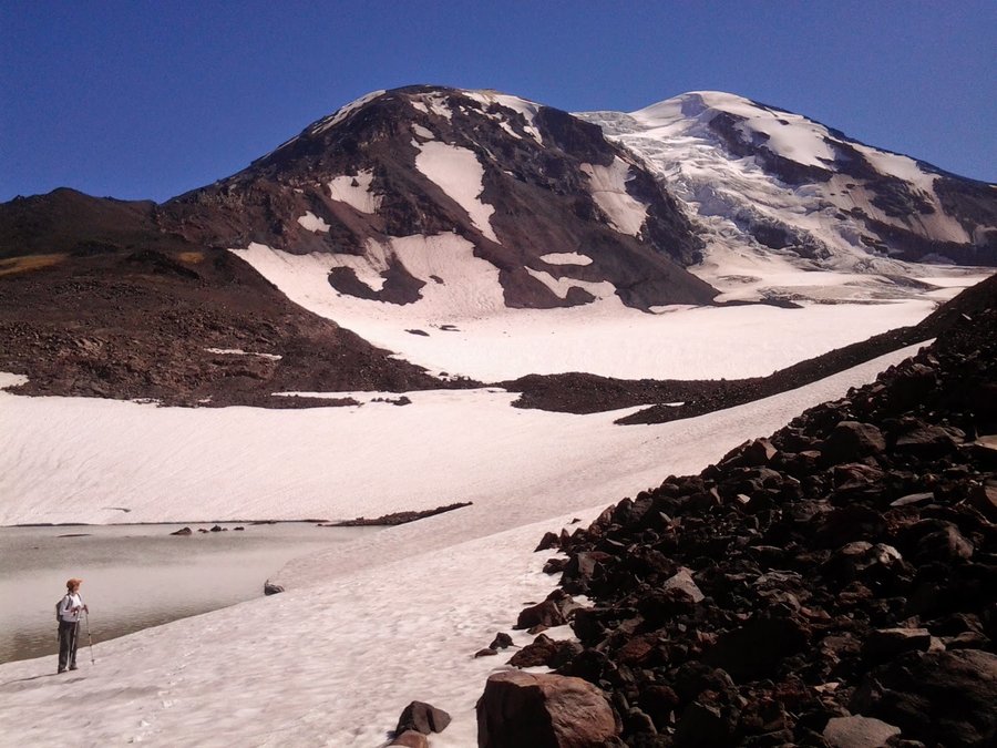
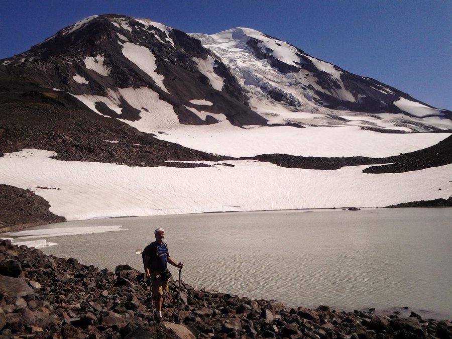
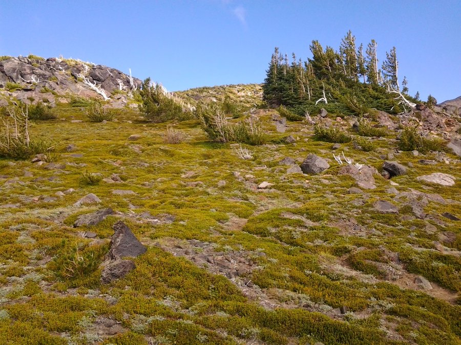
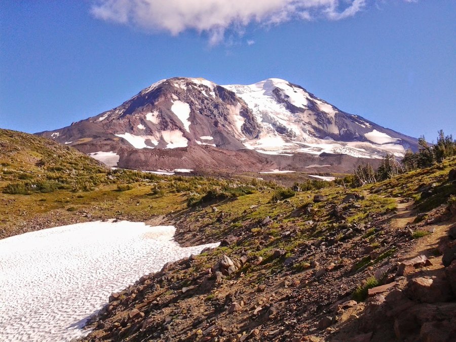
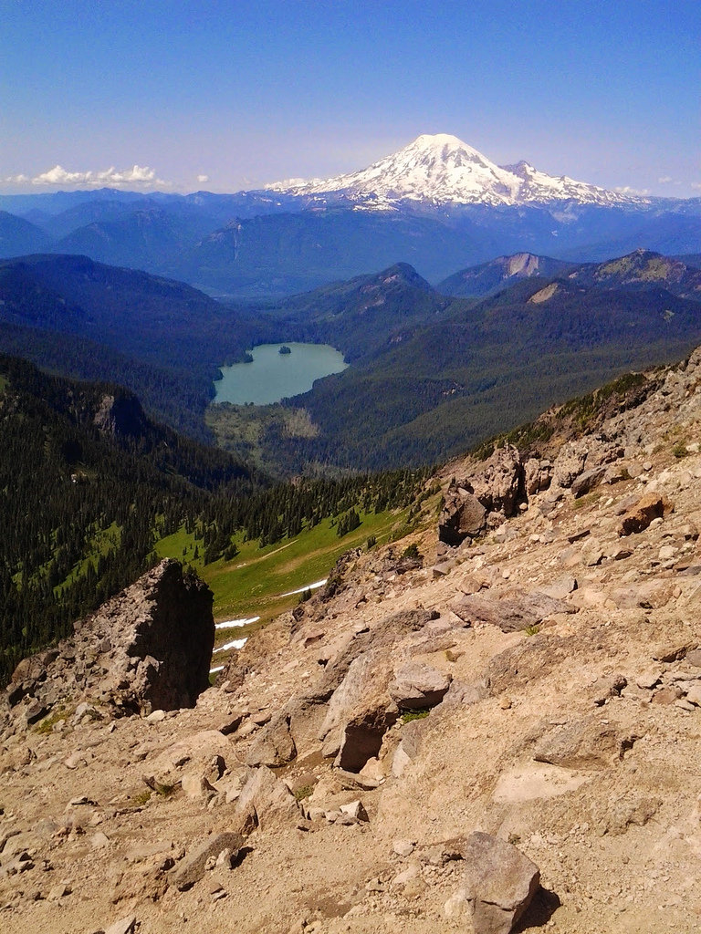
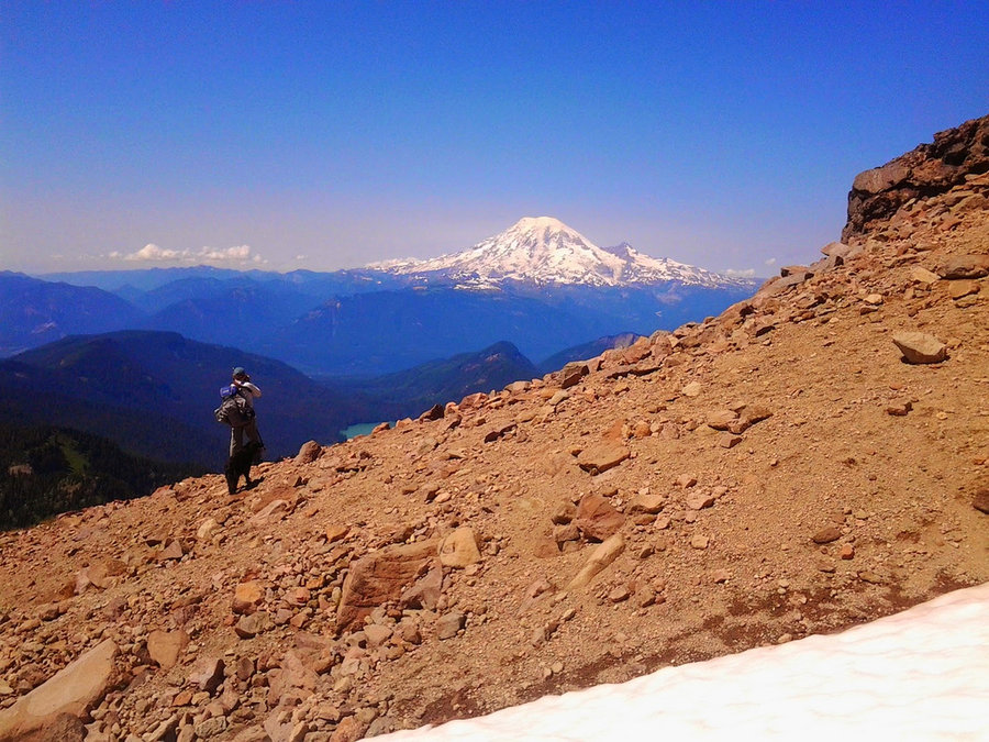
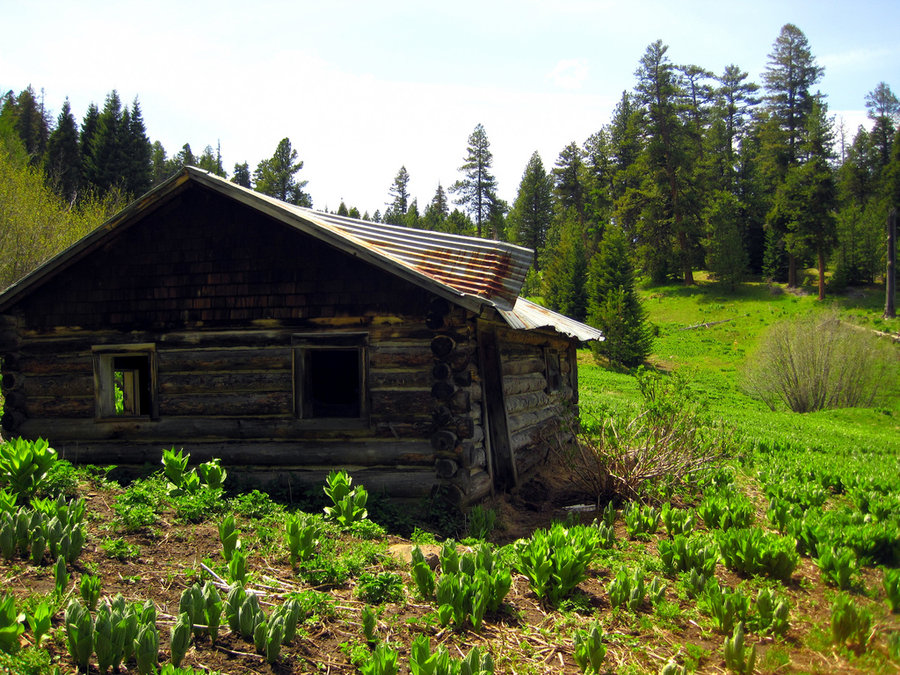
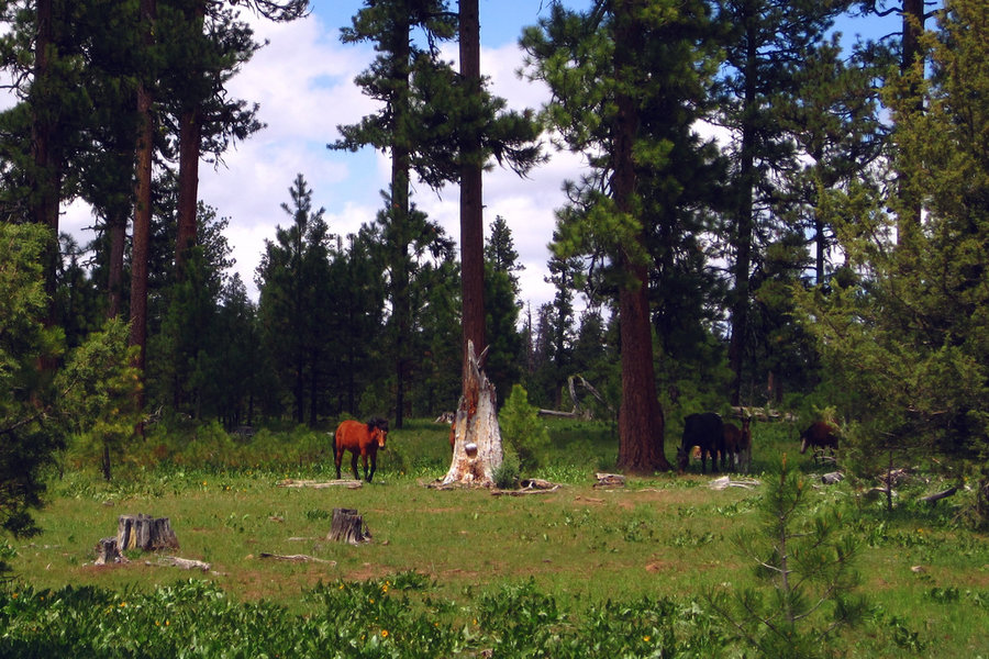
Mt Adams - Killen Creek to Lake 7505 (Equestria?)
10.5 miles of hiking • 3000' elevation gain •
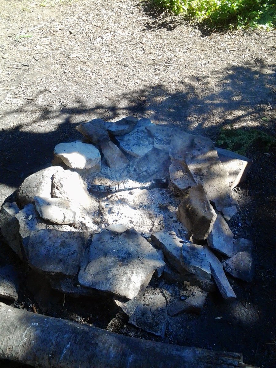
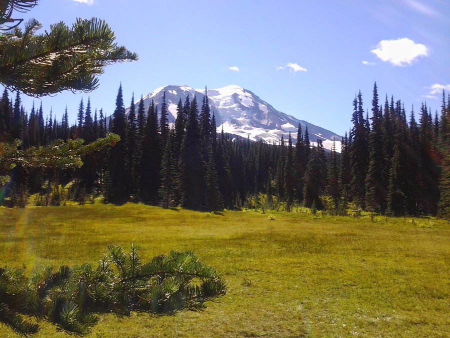
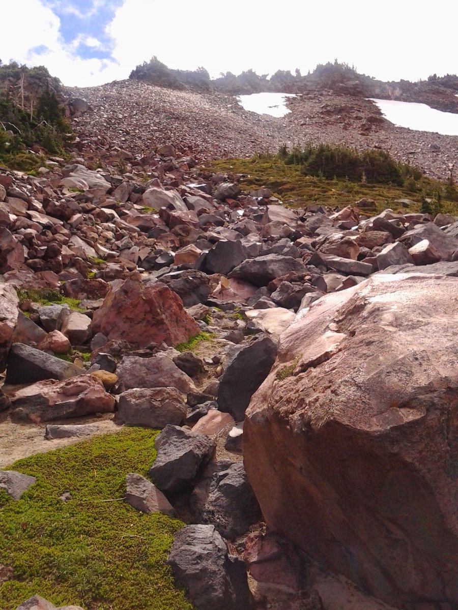
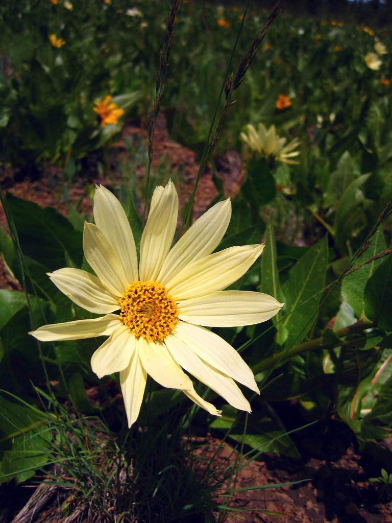
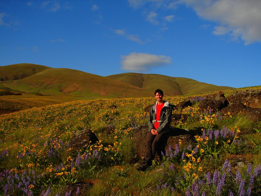
Late summer hike up to unknown (at the time) lake at 7505' on North side of Mt Adams. Killer views almost all day, several groups on the way out from Labor Day backpacks, almost no one above PCT (Except fellow ph'er "Spitfire" and husband). Found a deserted campfire ring still smoking in the meadows...ugh. We saw 20+ goats at various times on the slopes around "High Camp". Had lunch at Google's Equestria Lake, shown on my USFS map as "7505". I remember reading about some discussion on it's actual designation. Regardless, you couldn't ask for better views of the massive Adams Glacier.
September 1, 2014


Bell Creek Summer Slog
14.5 miles of hiking • 3500' elevation gain •
First time on the Bell Creek trail. Went up Oneonta Trail past Triple Falls, continued up to the Bell Creek jct and went East, up the steep hill. Bell Creek Trail basically traverses the Oneonta Creek drainage and comes back down on the other side of the creek. It was cloudy to start the day, but soon began to rain. August and raining. WTH. The salmonberry/devil's club on both sides of the trail was epic and got us even wetter than I thought was possible. Boots weighed 5 lbs/each, poured water out of them several times. Back near Triple Falls, ran into a group of 8 Indian kids from "Denver, CO" w/ plastic ponchos, a soaked Portlandhiker.org paper print out of Rock of Ages loop(!!!) and no other gear. They had, of course, missed the turn off miles back, but were going to do the loop in reverse and come down Rock of Ages ridge! at 3pm, in the rain. Uhhh no. I told them to turn back and see Multnomah Falls instead.
August 31, 2014
 2
2
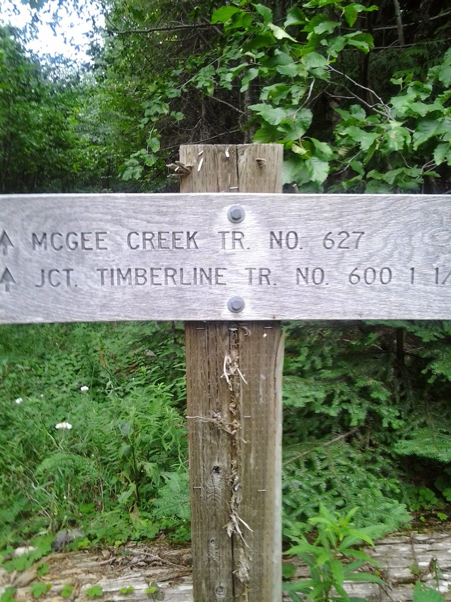
McNeil Pt from McGee Creek TH
10 miles of hiking • 3500' elevation gain •
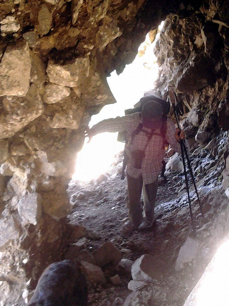
Up from McGee Creek TH, pretty nice trail on a steady climb up through the trees. Quieter trail head than Top Spur, but about 0.5 mile further each way. Up to the shelter then "normal way", on up to the end of the ridge to an "in your face" view of the Glisan Glacier and the Sandy Glacier and caves. Returned to shelter and descended the "climbers trail". Cuts off about 1.3 miles of trail. Lots of hikers up there today, great temps. Few flowers remaining.
August 24, 2014


 2
2
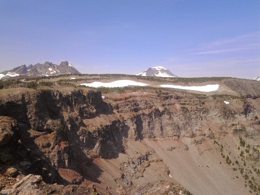
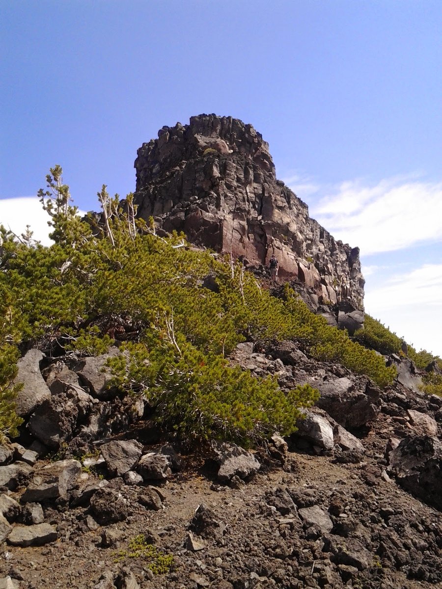
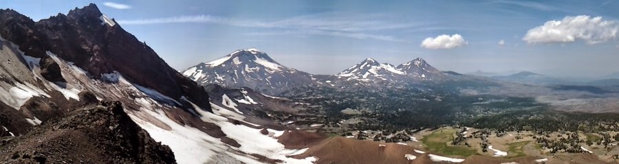
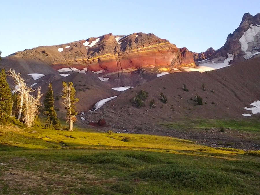
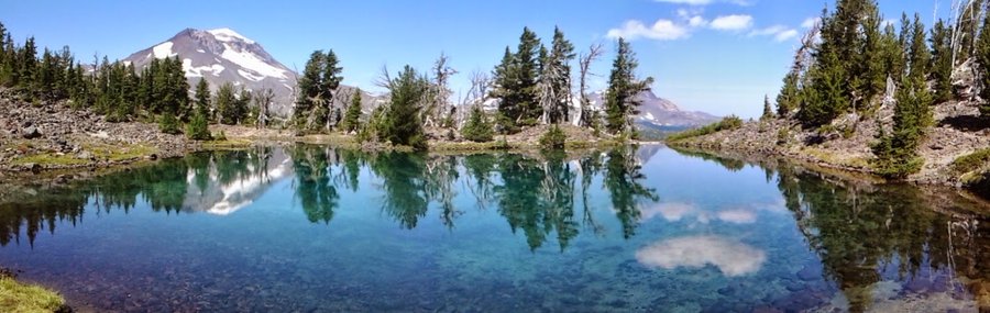
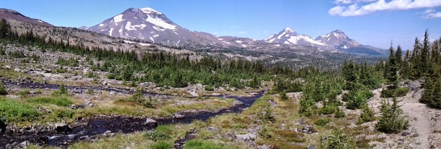
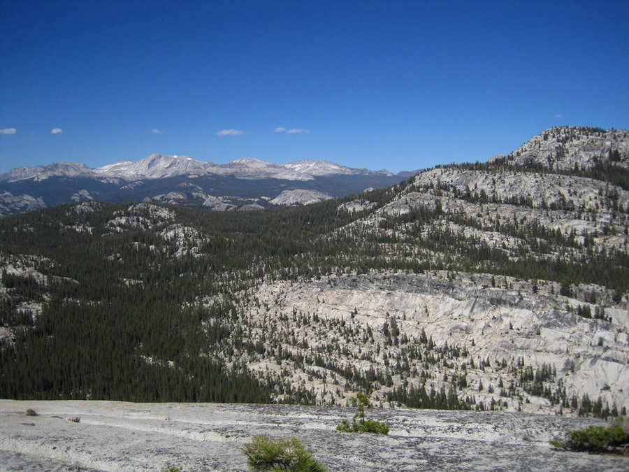
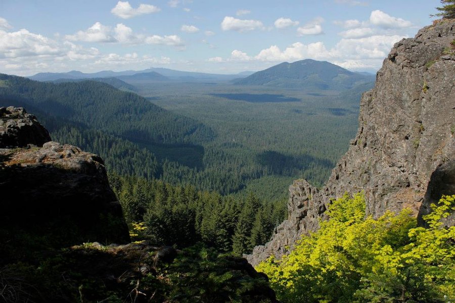
Broken Top (North) Loop
22.5 miles of hiking • 5000' elevation gain • 3 nights
3 night, 3 day trip around the North side of Broken Top. Tam McArthur Rim to Green Lakes, alot of off-trail. No bugs, flowers were past prime, but gorgeous views even w/ thick haze from fires in the vicinity. Can't wait to go back someday.
August 15 – August 18, 2014


 3
3
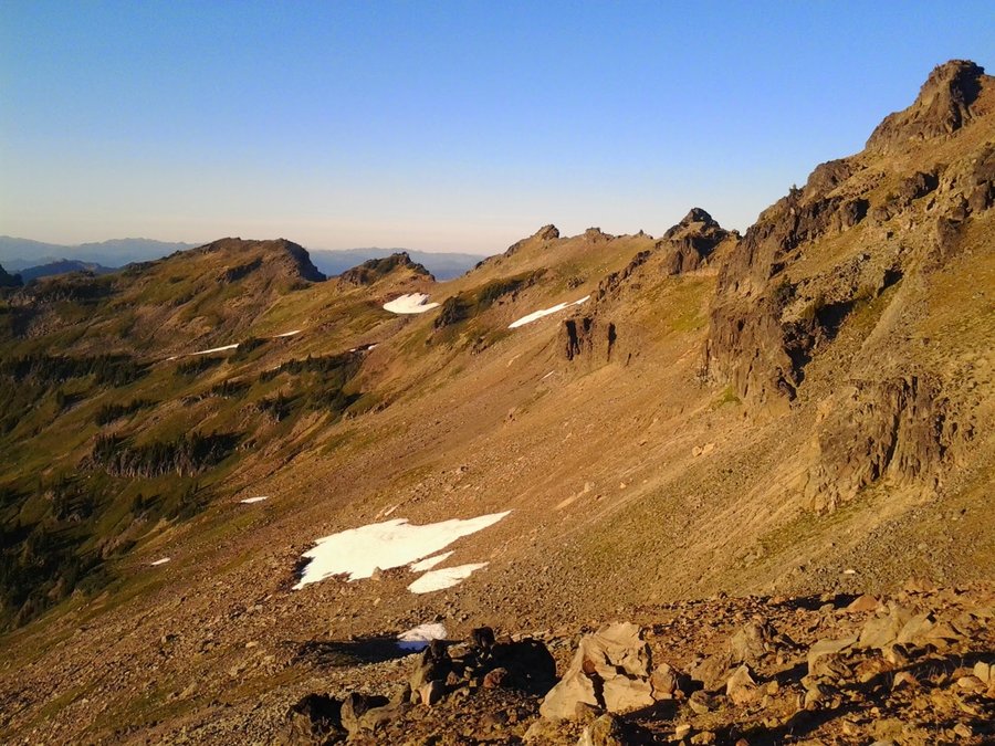
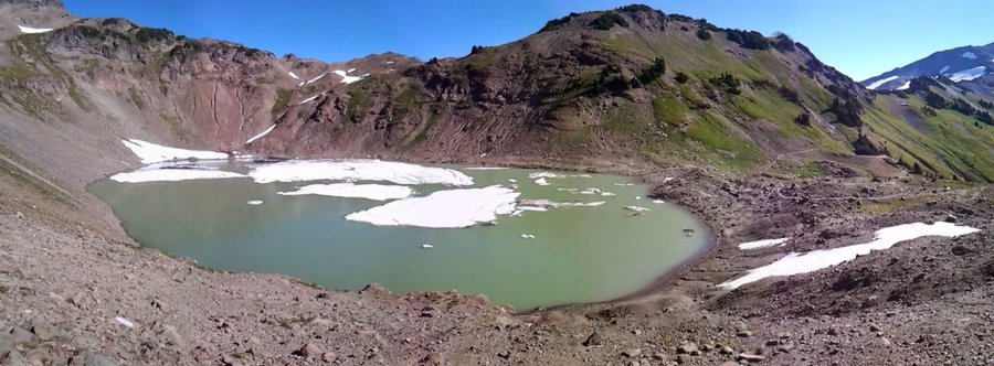
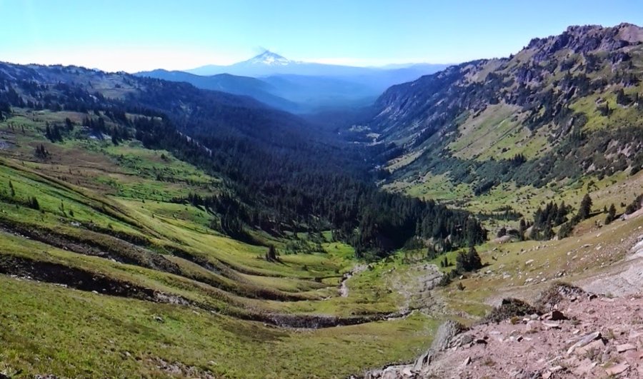
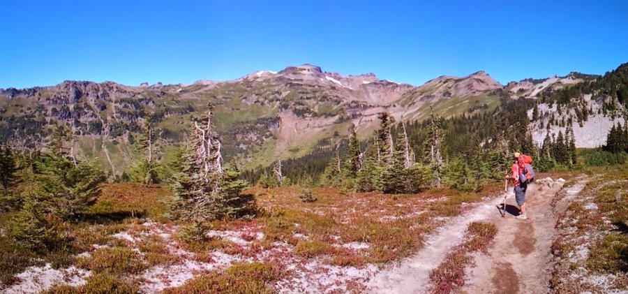
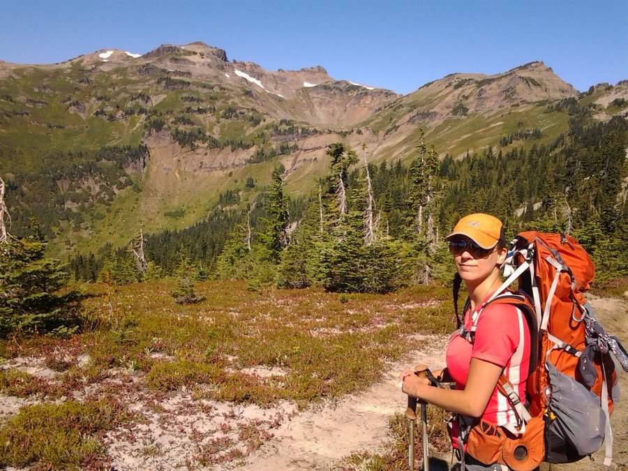
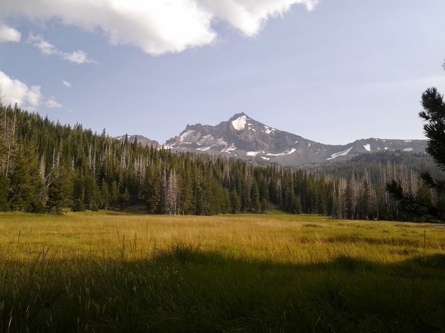
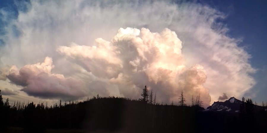
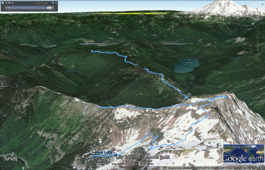
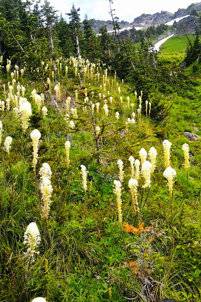
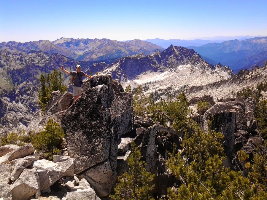
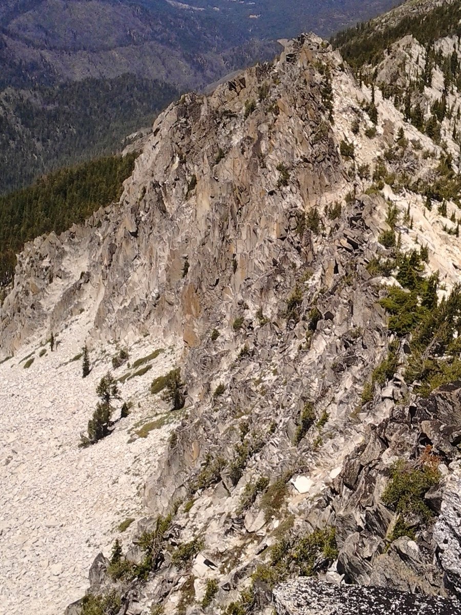
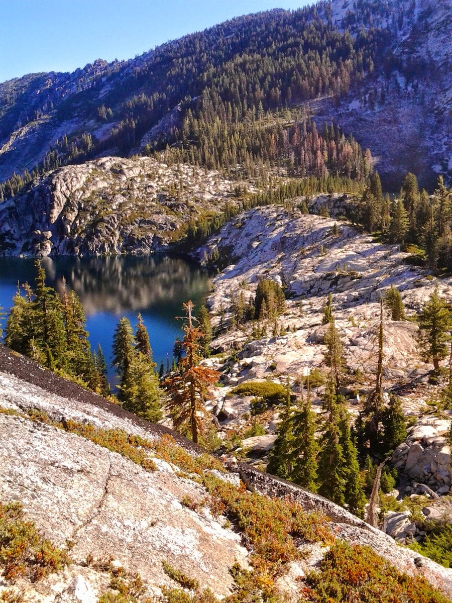
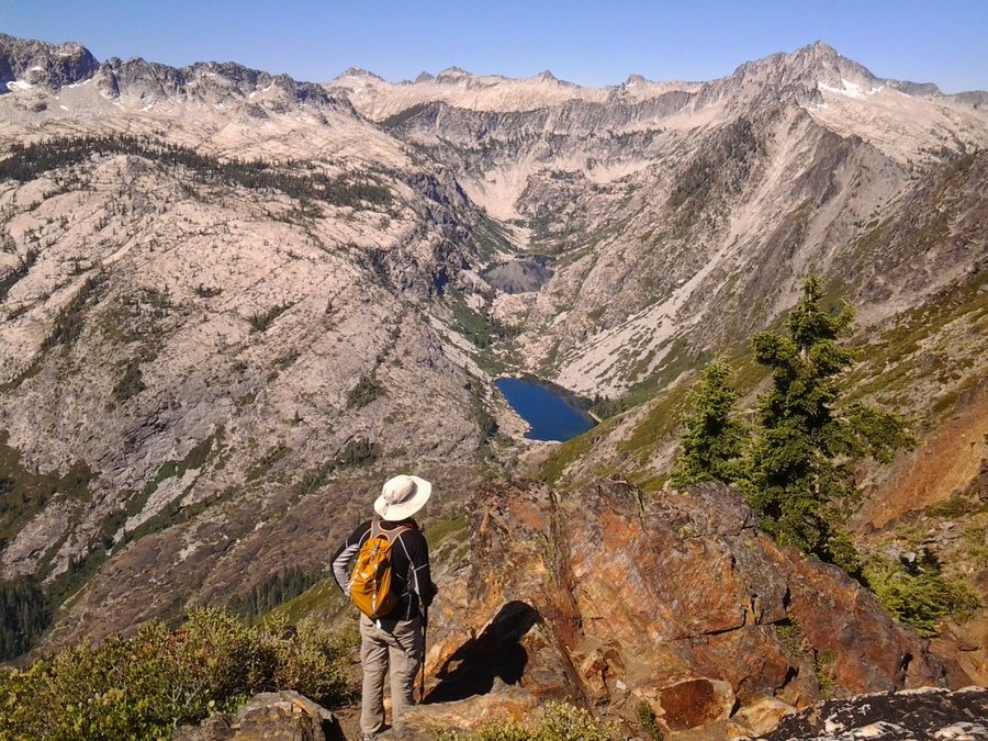
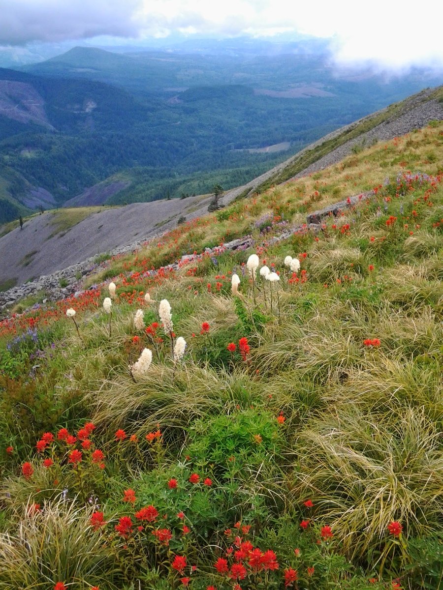
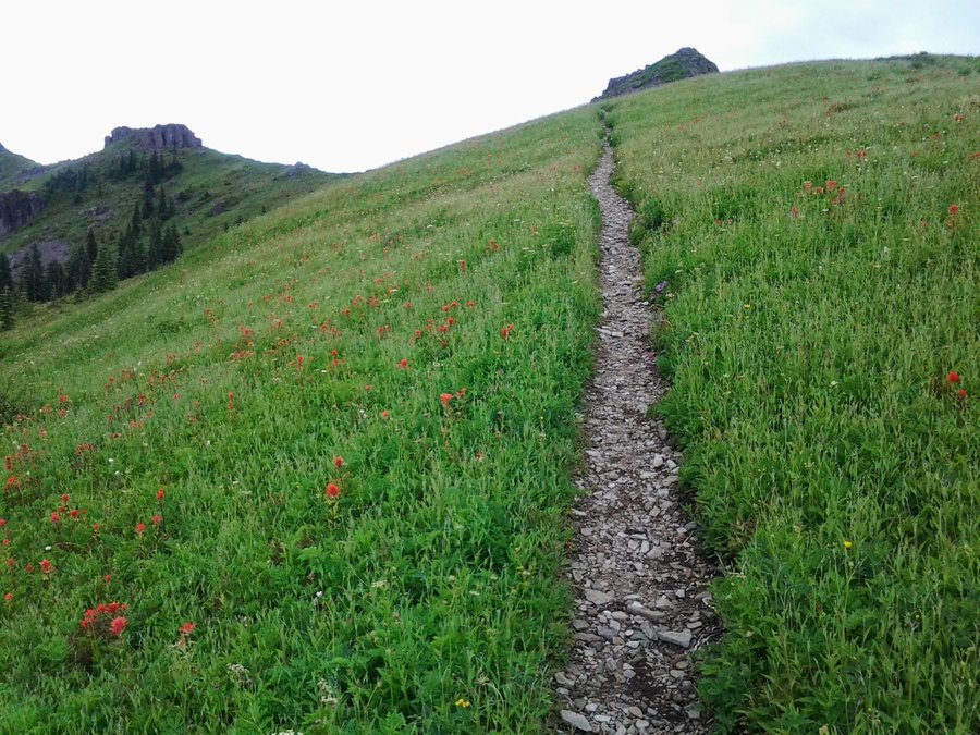
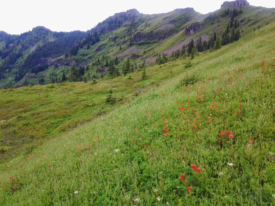
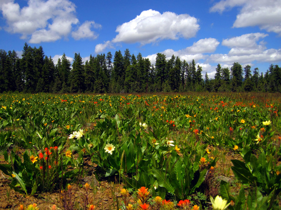
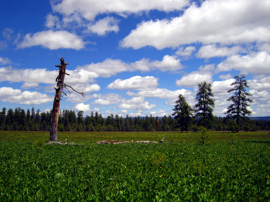
GRW - Johnson Peak / Heart Lake from Lilly Basin TH
18.5 miles of hiking • 5500' elevation gain • 2 nights
2 night trip to Johnson Peak/Heart Lake in Goat Rocks Wilderness w/ Roman. Excellent weather, moderate bugs, nice flowers. The biggest bloom is still to come, but plenty to see. Views from Johnson Peak were unbelievable.
July 25 – July 27, 2014


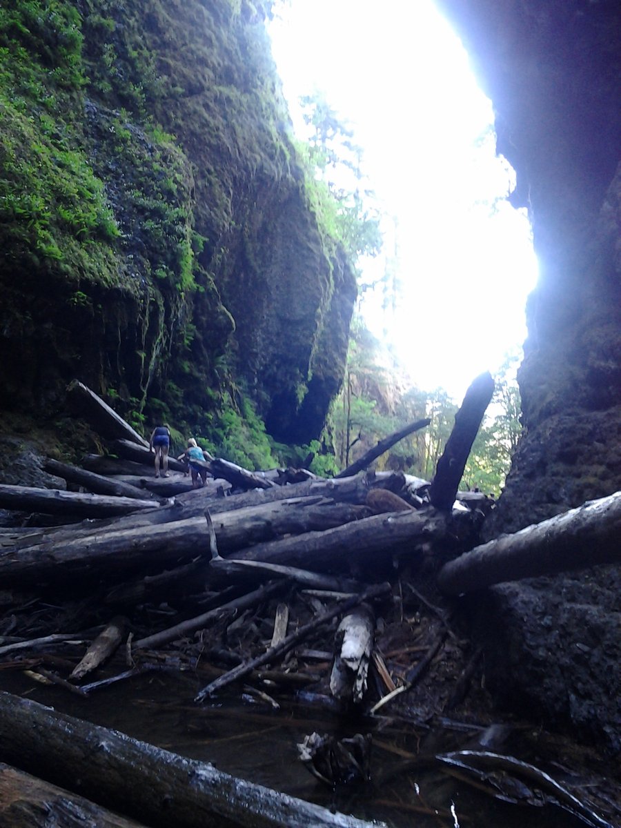
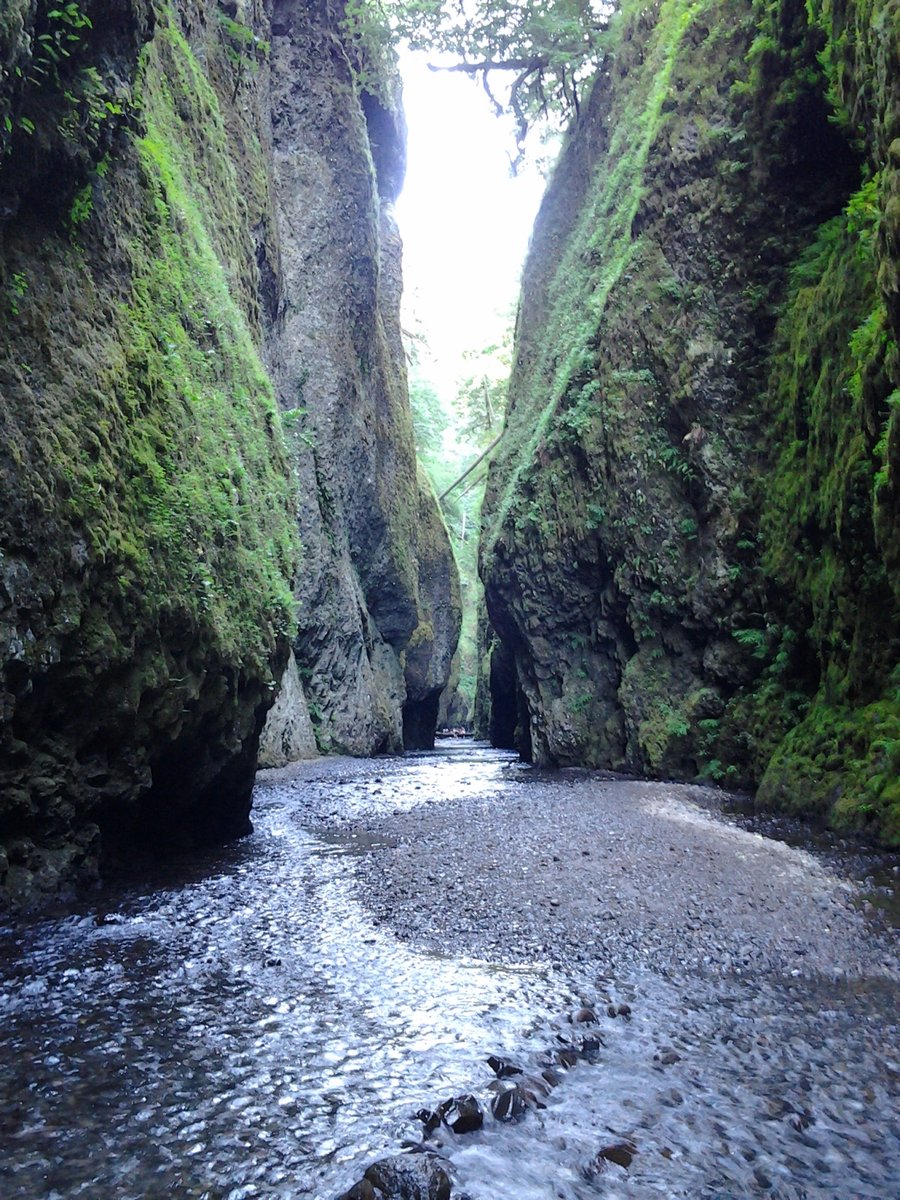
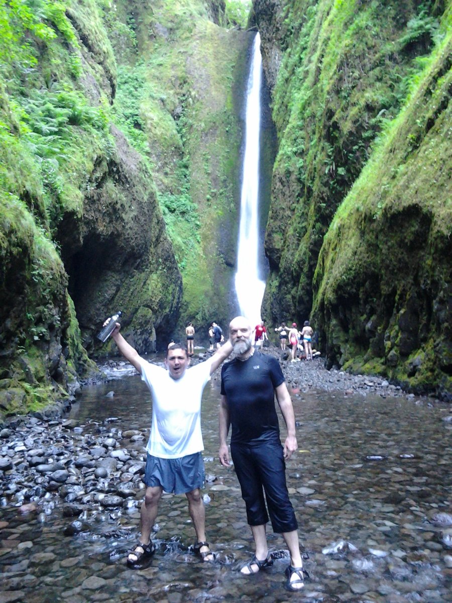
Oneonta Gorge/Triple Falls weeknight adventure
4.5 miles of hiking • 750' elevation gain •
Clamber over the logjam, Hike/wade up to the the falls. Lots of people, even on a weeknight in the evening. Surprised how popular this place is. There was a drunk guy passed out on the creekbank and Sheriff Hardcock was there to apprehend him. Both of those tools deserve each other. Greg almost got swept under the falls. If you are going to go into the pool below the falls, make sure you are a good swimmer! After swim, hike up to Triple Falls and back.
July 16, 2014

July 12, 2014


 1
1
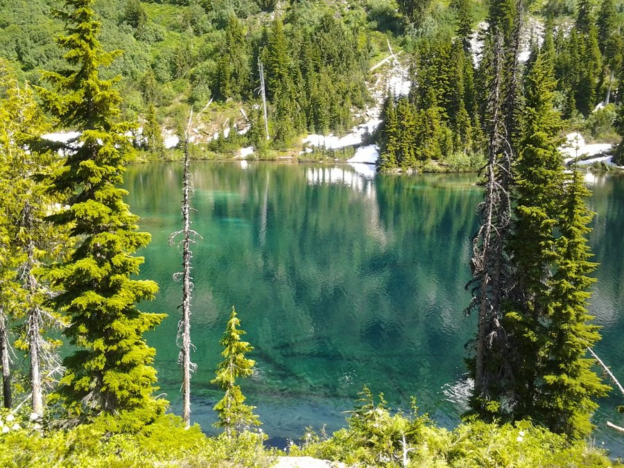
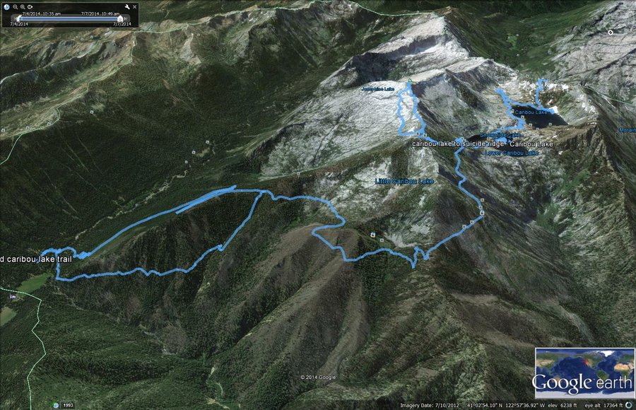
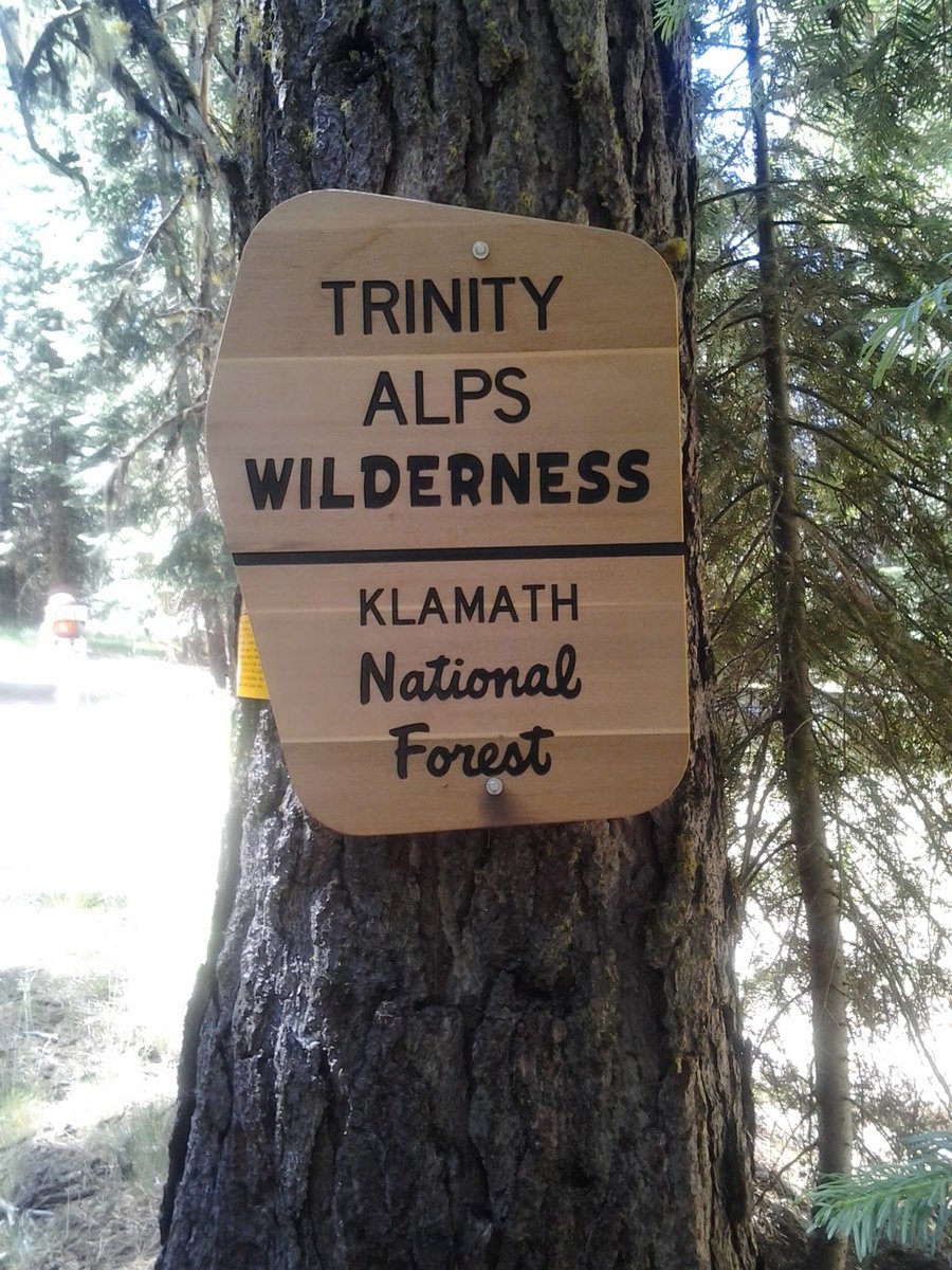
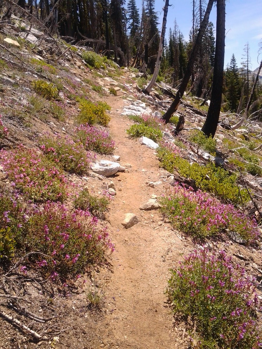
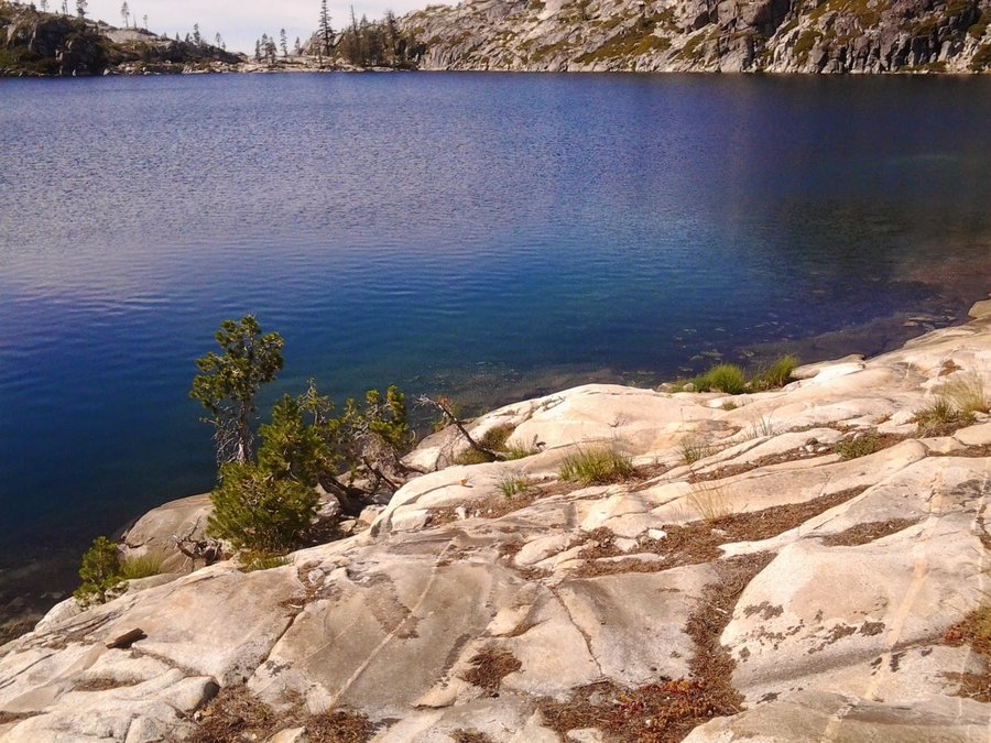
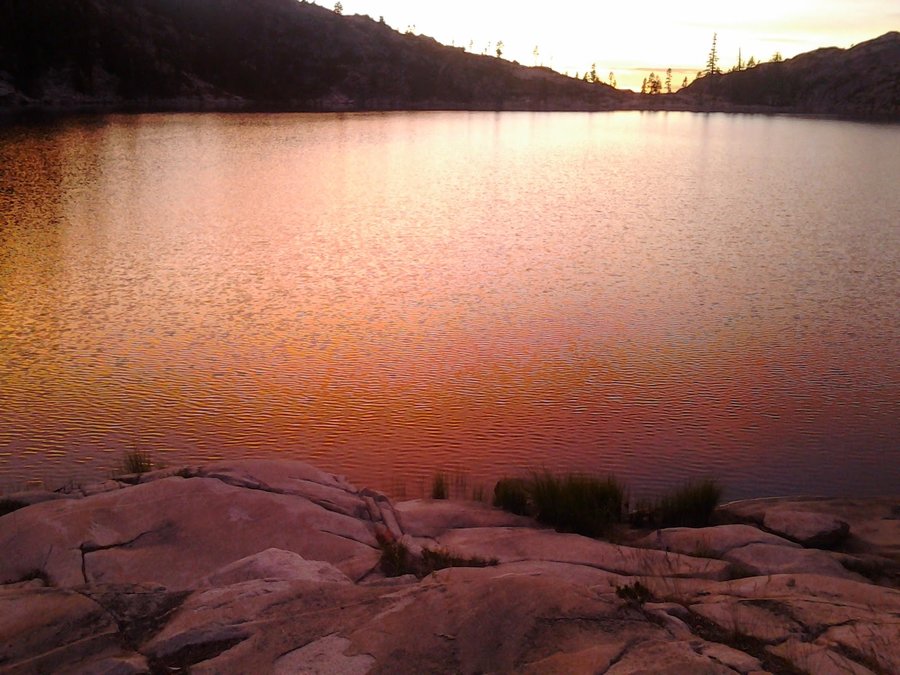
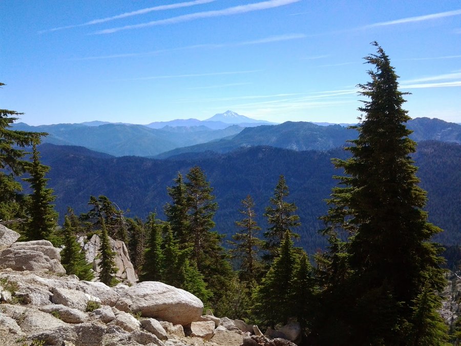
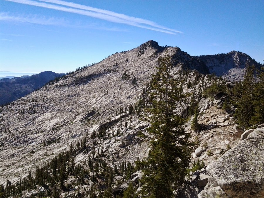
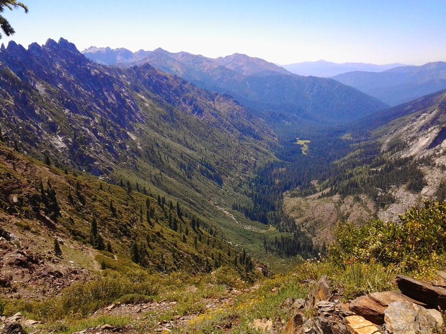
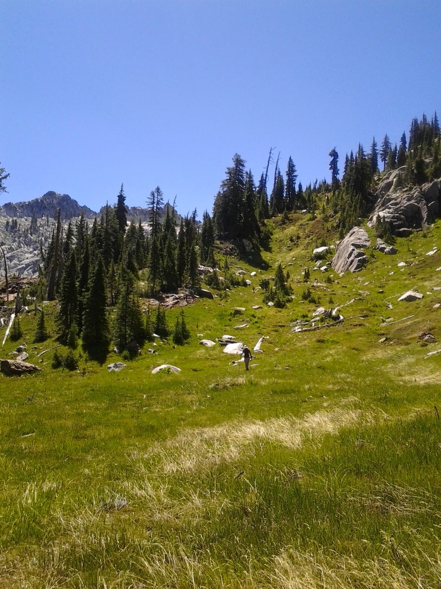
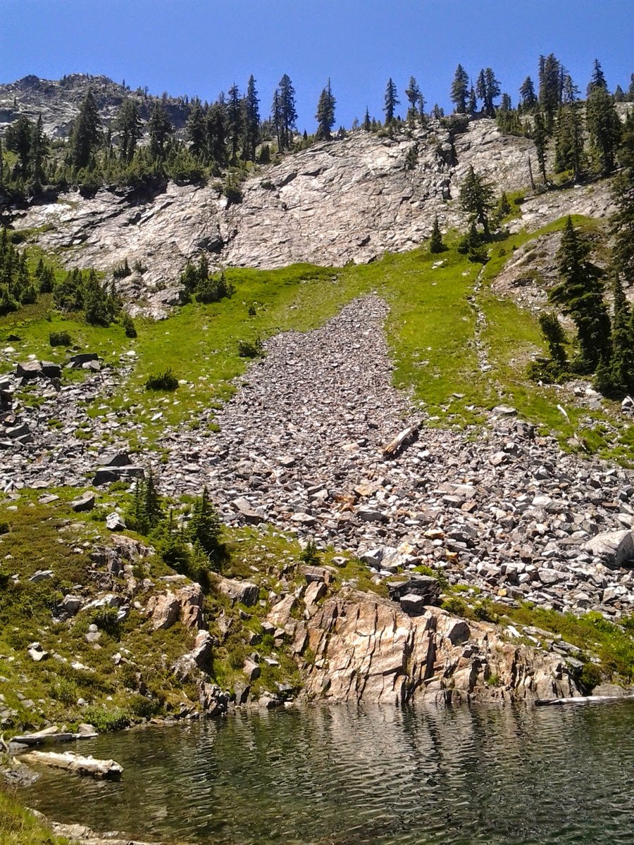
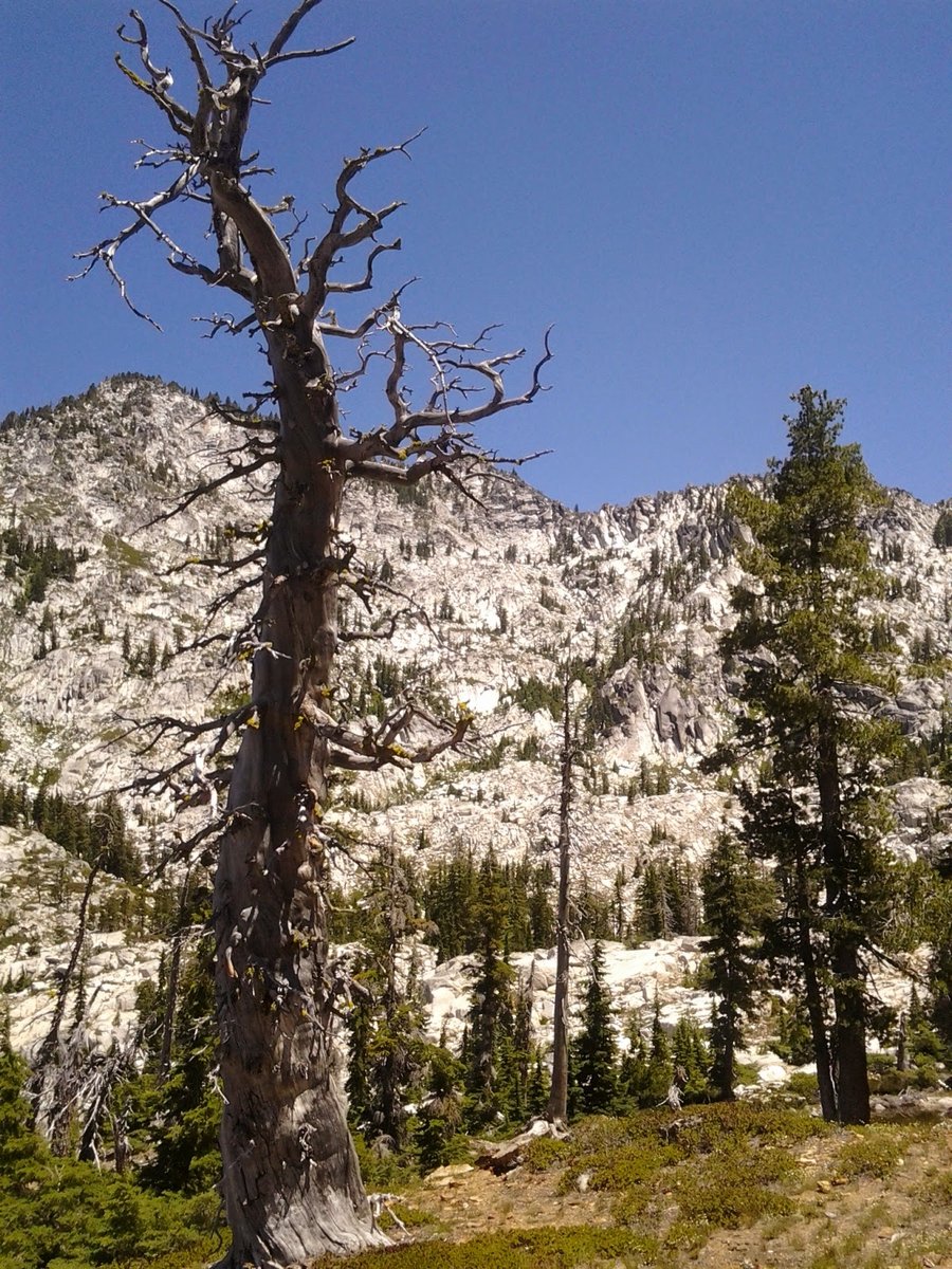
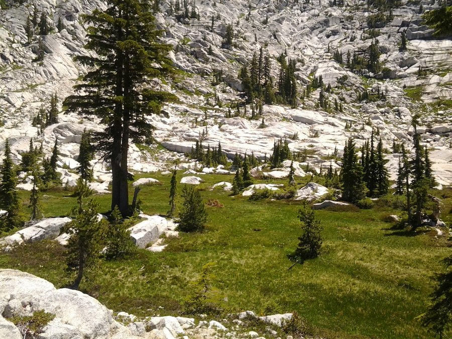
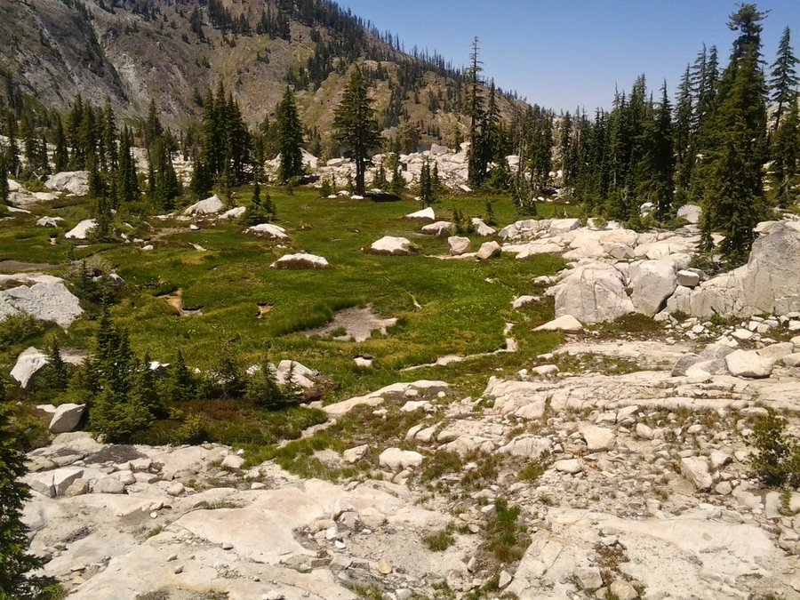
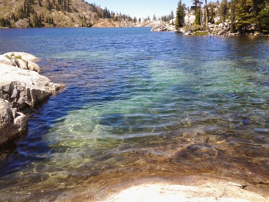
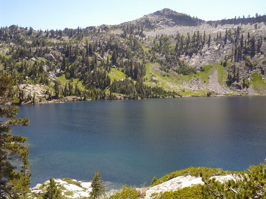
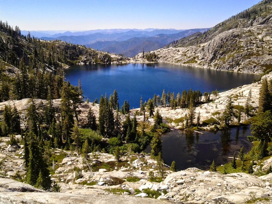
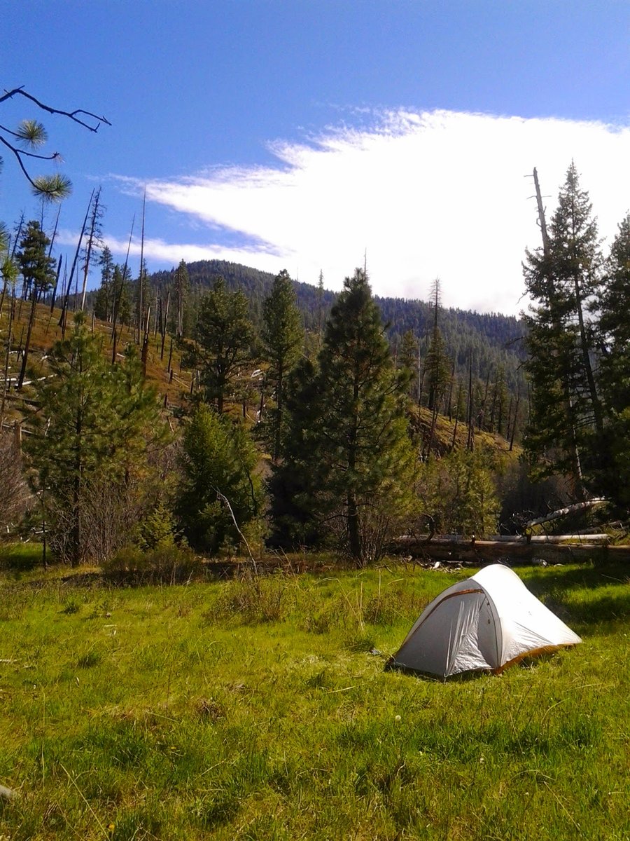
Caribou Lakes/Mountain - Trinity Alps Wilderness
27.5 miles of hiking • 8500' elevation gain • 4 nights
Fantastic holiday weekend trek to a new (for me) area. Spent parts of 4 days/nights roaming around a spectacular basin with amazingly beautiful peaks and lakes. The sun was intense and relentless, but made for good swimming in the clear, cold water. My shoulders and legs got burnt, but that's what 4th of July is for, right? Go 'Merica!
8,575' Caribou Mountain's "summit" was a true challenge, as we were presented several miles of scrambling along a narrow ridge among giant granite ledges, rocks and scraggly brush. Amazing views in every direction, including Mt. Shasta and distant Mt. Lassen, not to mention countless unnamed and named peaks in the Alps themselves.
The basin is popular, so solitude on a holiday weekend wasn't really expected. There was ample space for many people and the crowds didn't detract from the experience, though there was some trash/litter, unleashed dogs and evidence of illegal fires.
July 3 – July 7, 2014

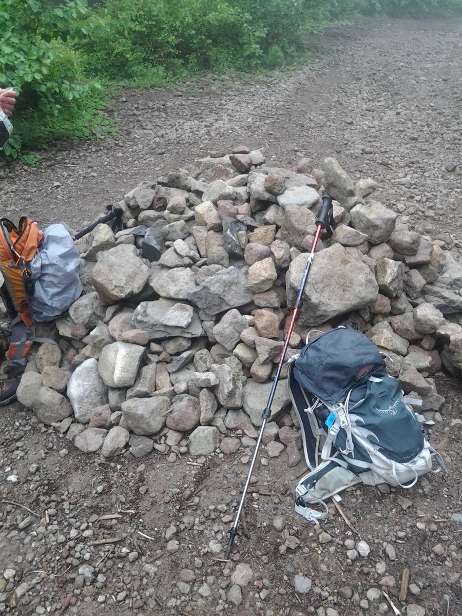
Silver Star/Indian Pits/Sturgeon Rock from Grouse Vista
13 miles of hiking • 4000' elevation gain •
Tour of Silver Star mtn area. Views were nonexistent until after 1pm. Pretty cloudy all day, some clearing towards evening. Second time this week I was thwarted!
June 29, 2014

 1
1
Silver Star Mtn (north trailhead) in the rain
5 miles of hiking • 1750' elevation gain •
"Because it's there" - Karl
June 26, 2014

 2
2
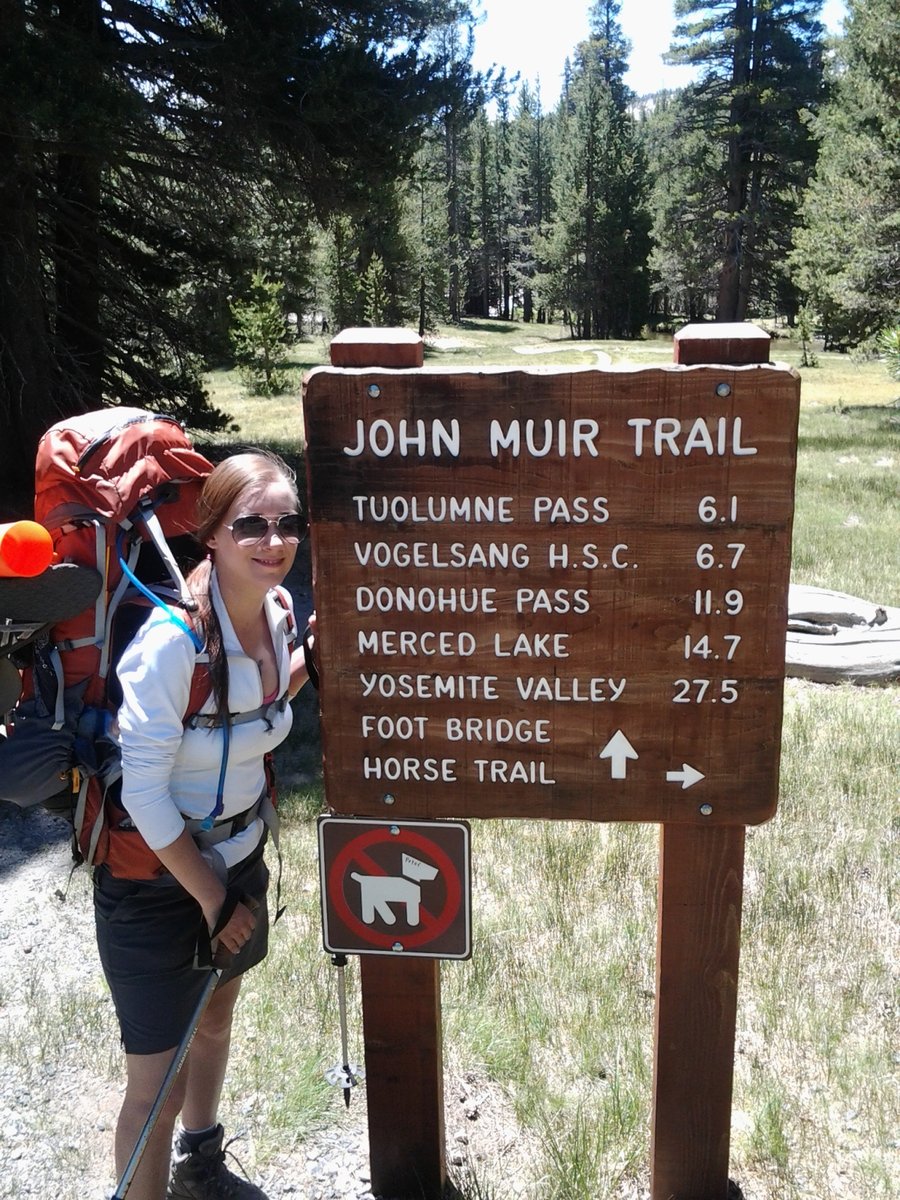
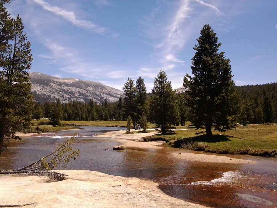
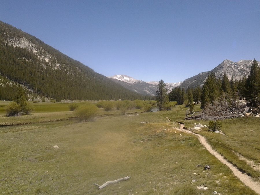
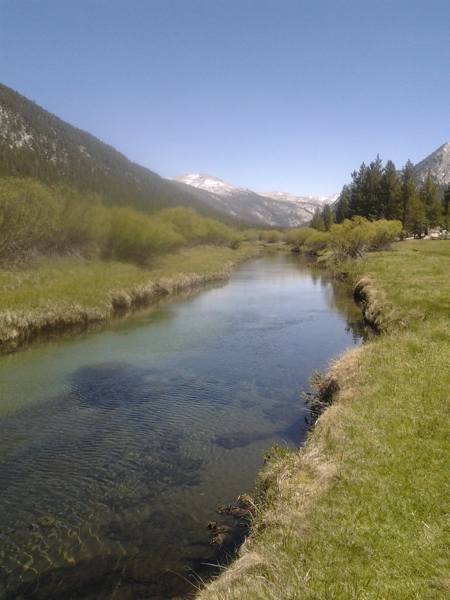
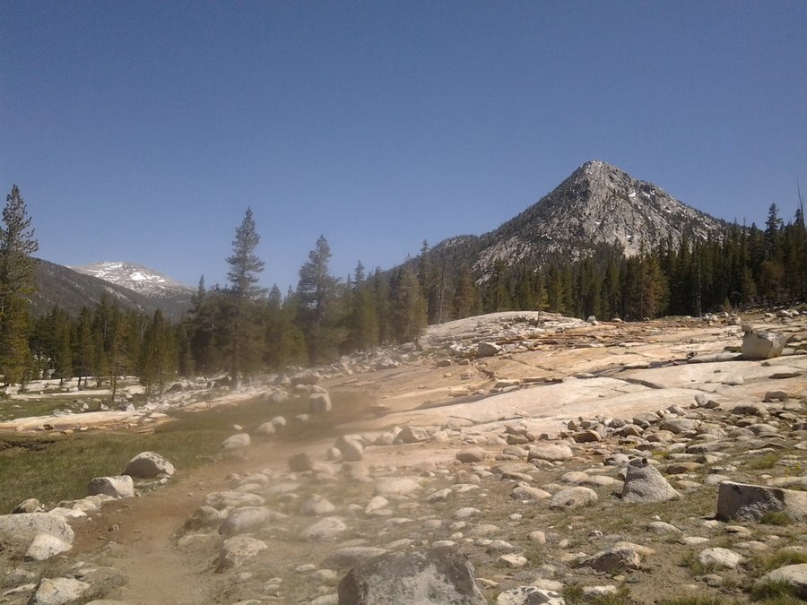
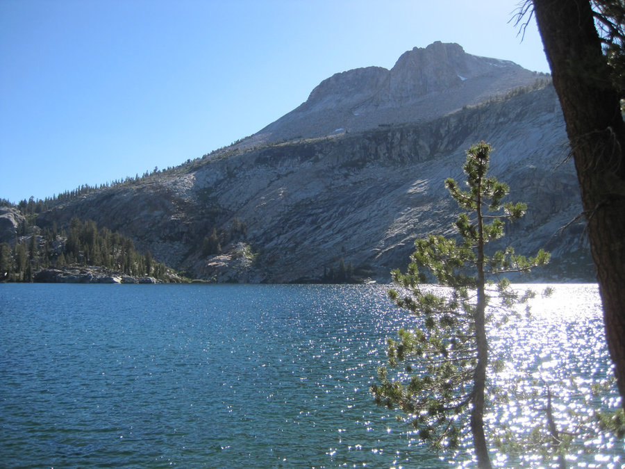
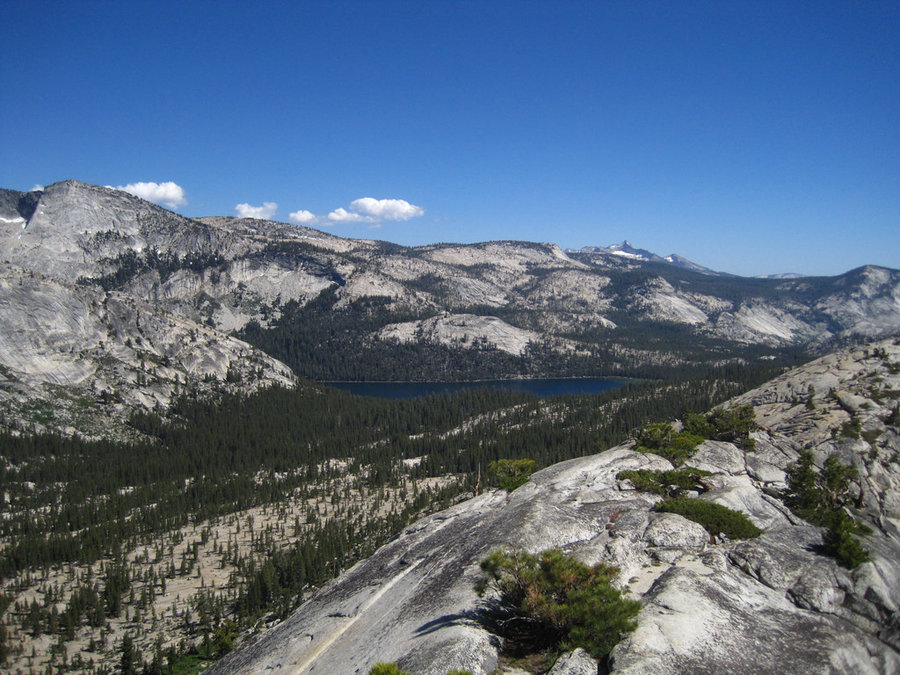
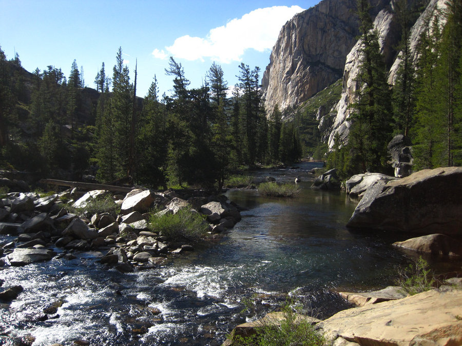
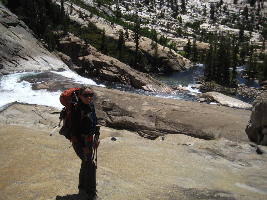
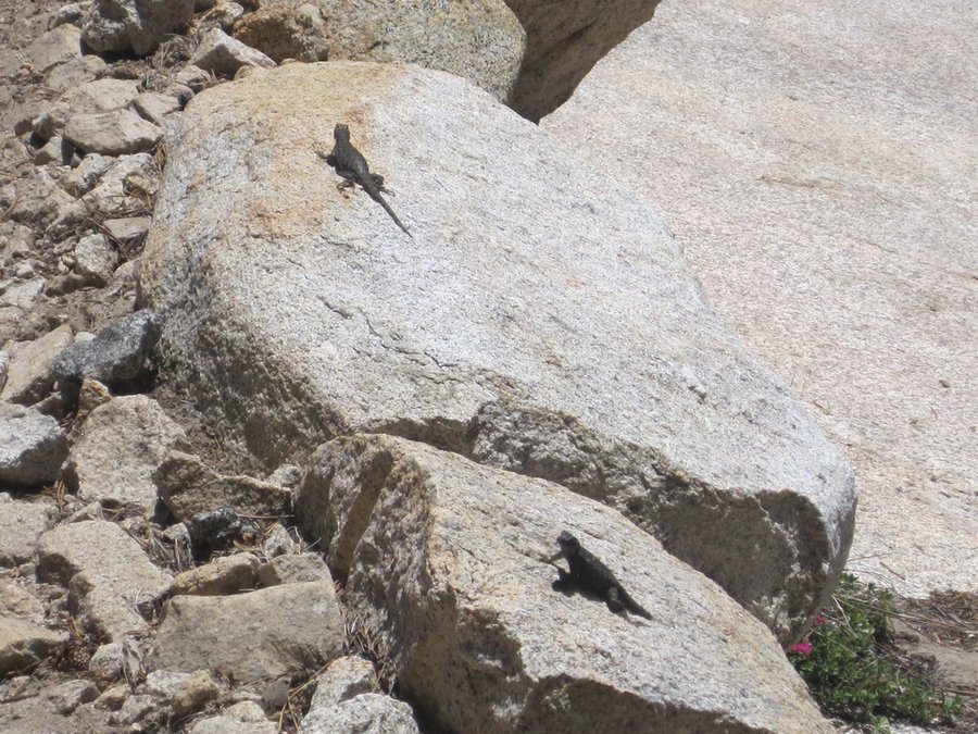
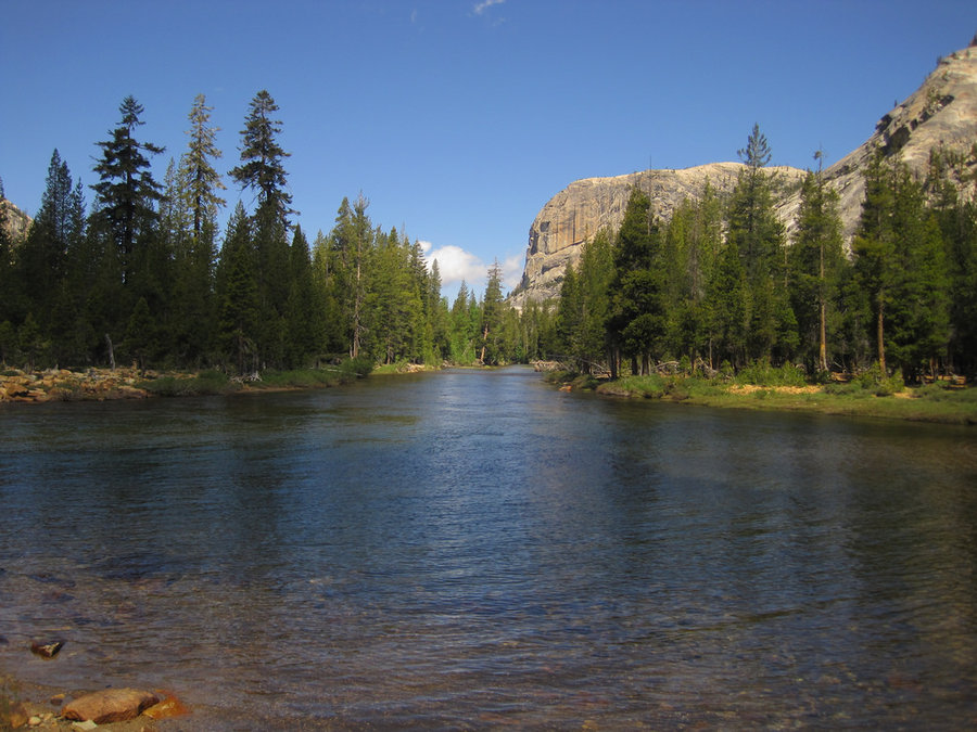
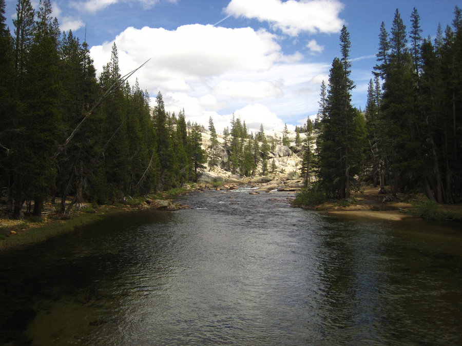
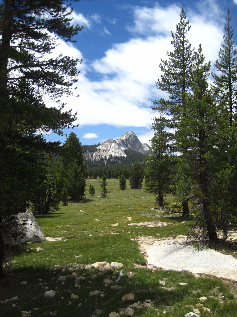
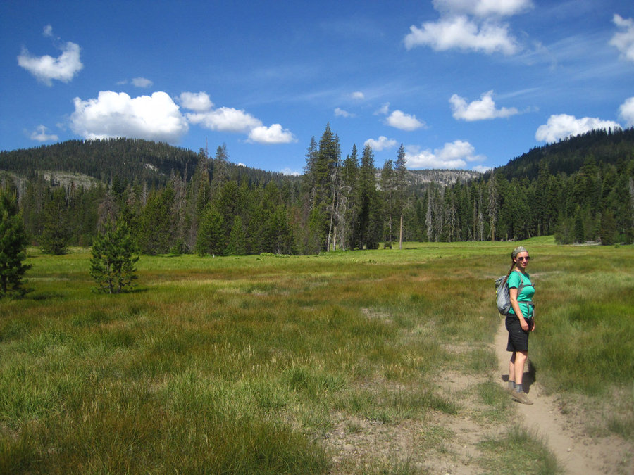
Lyell Canyon, Yosemite NP
14 miles of hiking • 250' elevation gain • 1 night
This hike almost didn't happen, but we had a great week in the woods and had another day to explore. We went to the permit office and they had some available (not a given), so we went for it. The hike is unlike many Yosemite hikes in that it's relatively flat. It coasts across a few creeks and large meadows, the Lyell fork coasting by happily. You need to be 4 miles from the trailhead before you can camp. Some camps were across the river, so we crossed in a shallow spot and made camp in a great spot. Great ending to the trip.
June 20 – June 21, 2014


 1
1
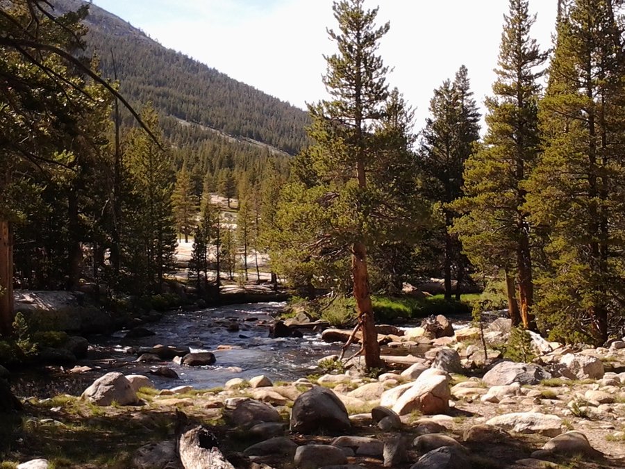
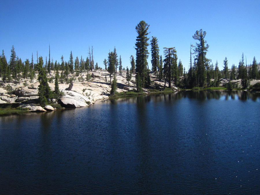
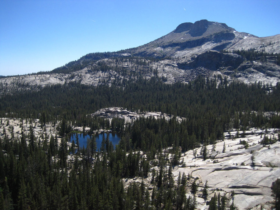
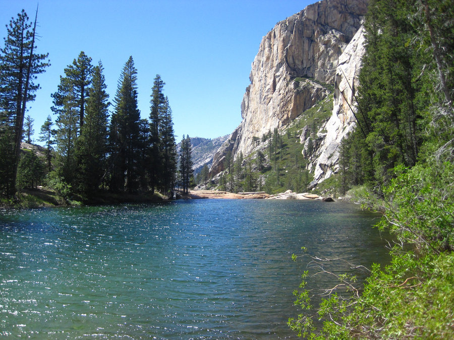
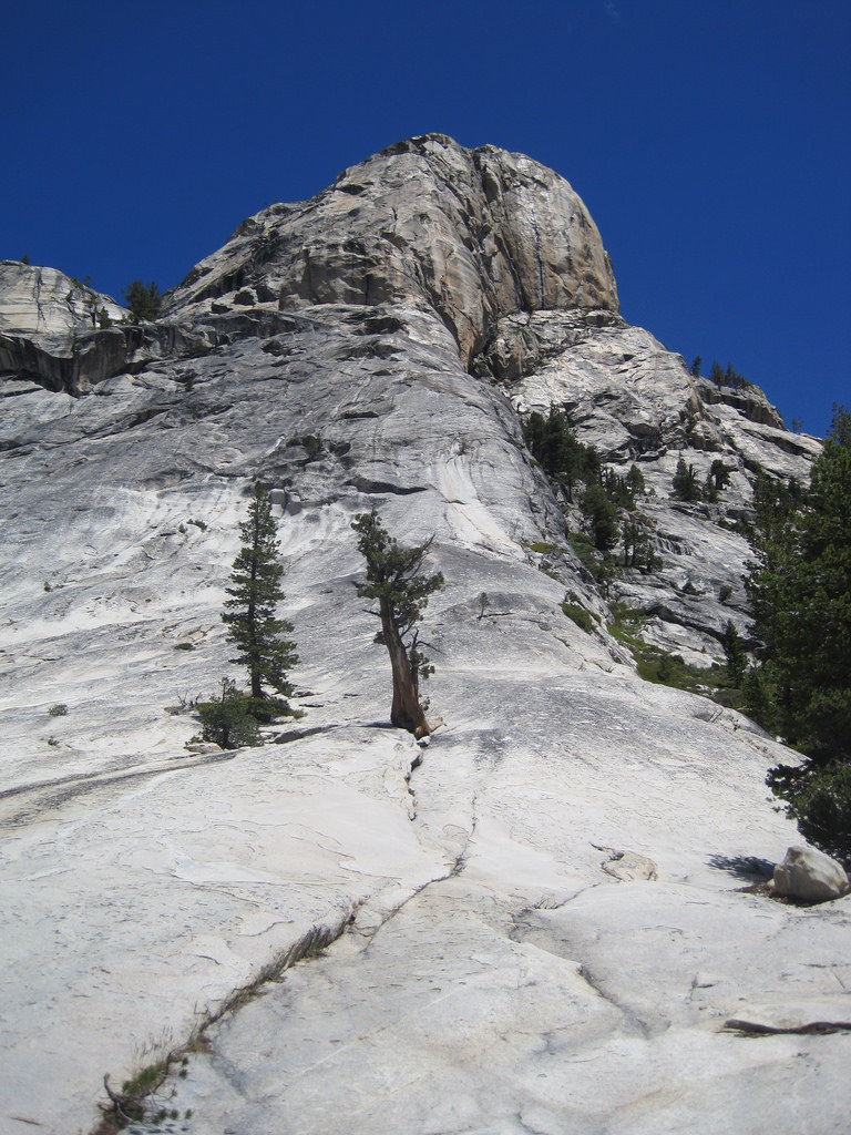
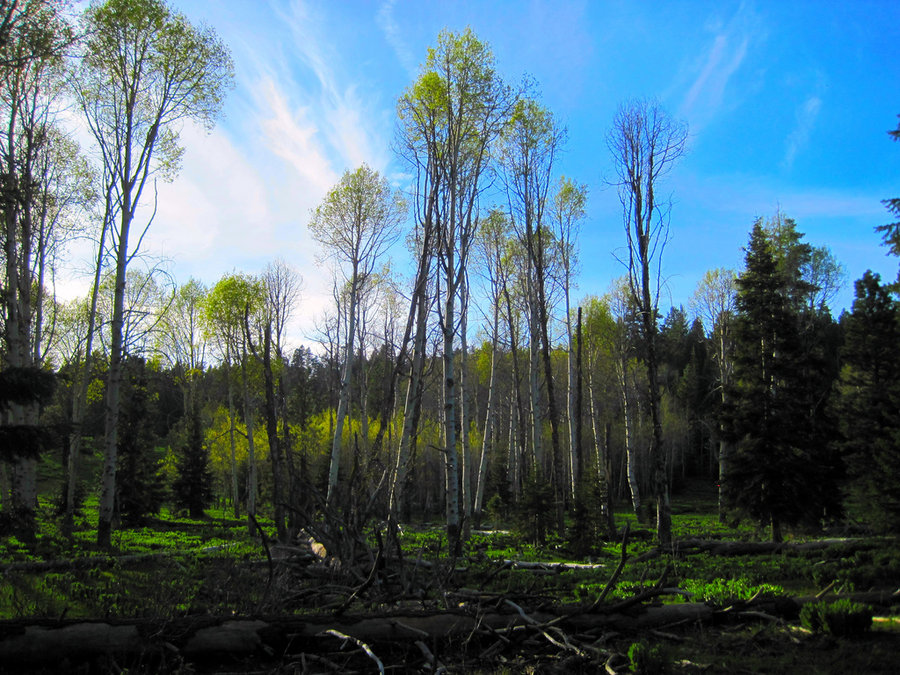
Glen Aulin HSC to May Lake HSC to Tenaya Lake, Yosemite NP
12 miles of hiking • 1500' elevation gain • 1 night
It was hard to leave our great camp, but we wanted to see more places in this amazing area. The hike from Glen Aulin to May Lake was 5 miles of boring forest, then you start to get above the trees and you get some good views of the Cathedral Range. I scrambled up a nearby dome to see some more peaks, Tenaya Lake, and nearby Raisin Lake. As we climbed, 10,300' Mt. Hoffman came into view. It rises sharply from the Western shore, a trail climbs 3 miles to the top, but we weren't able do it on this trip. The lake was large and beautiful, but the bugs began attacking us as we arrived and never really relented. We slightly regretted leaving our excellent camp on the river, but one never knows what you'll see, so that's the beauty of hiking. Camping is restricted to the backpackers camp and there is no swimming in the lake as it's a municipal water source. The High Sierra Camp wasn't open yet, but a boisterous crew was making preparations for the following night's debut. We had a quiet night and a short hike out to Tenaya Lake and a hitchhike back to White Wolf Lodge where our car and a shower awaited.
June 18 – June 19, 2014

 4
4
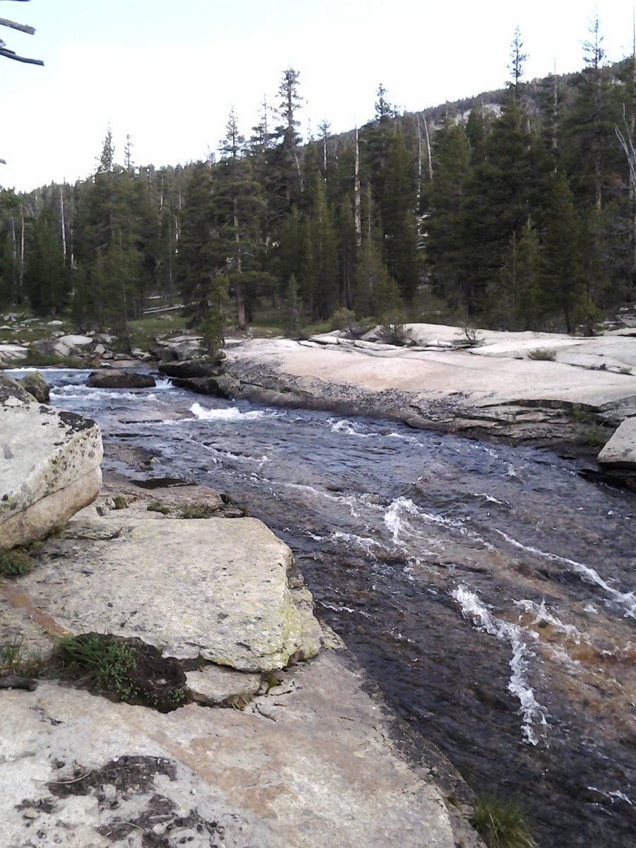
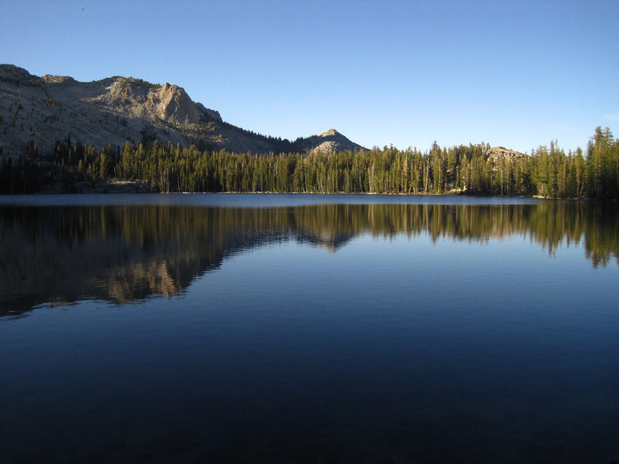
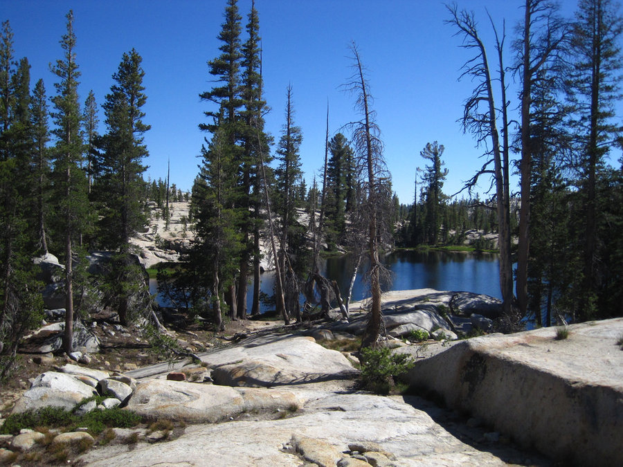
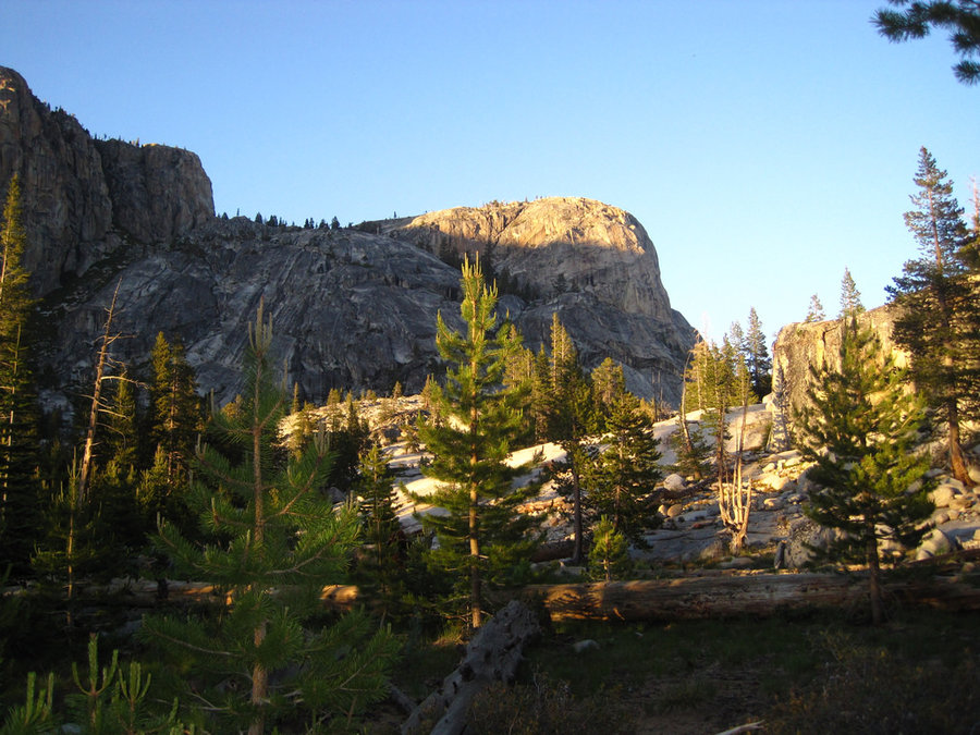
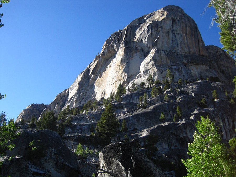
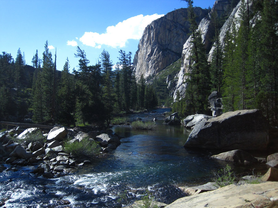
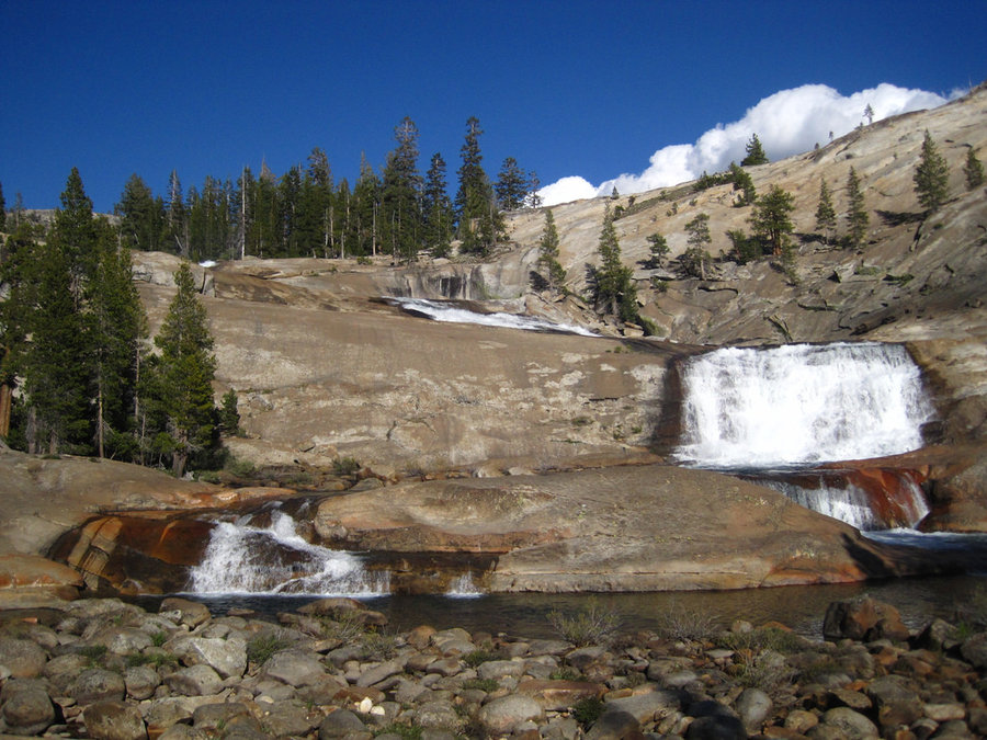
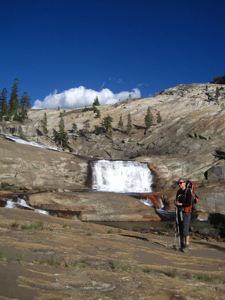
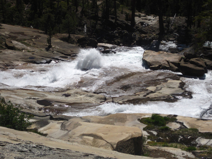
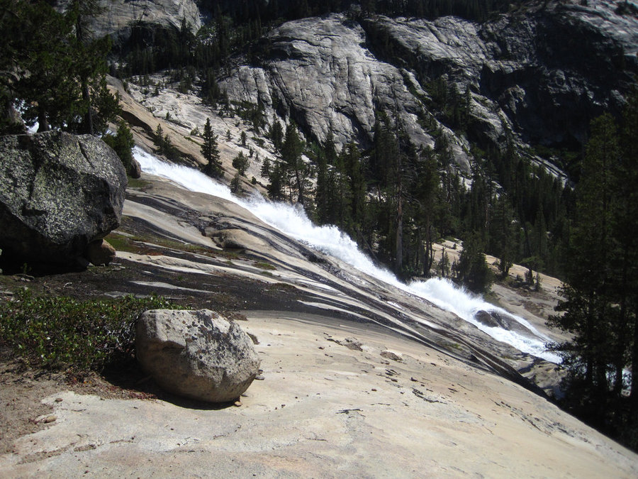
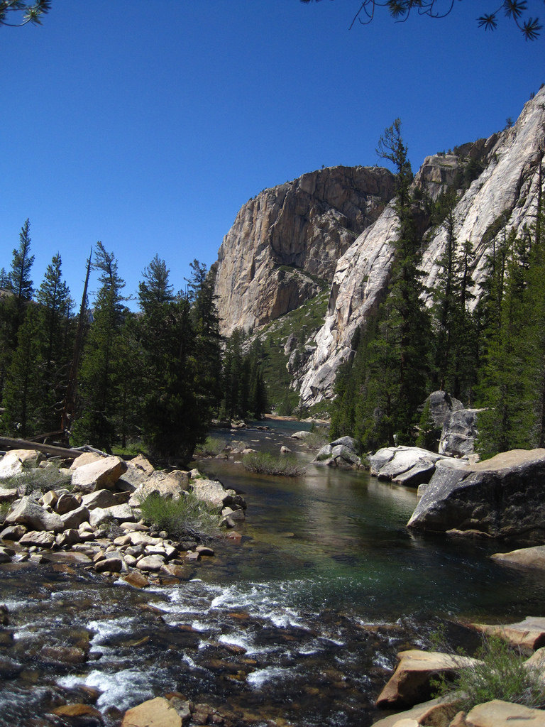
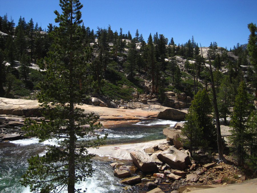
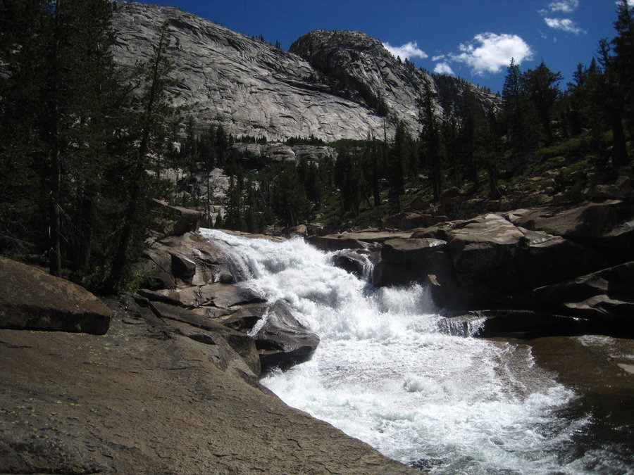
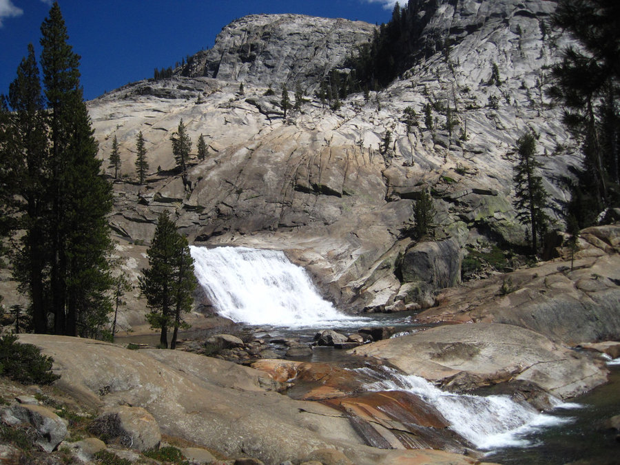
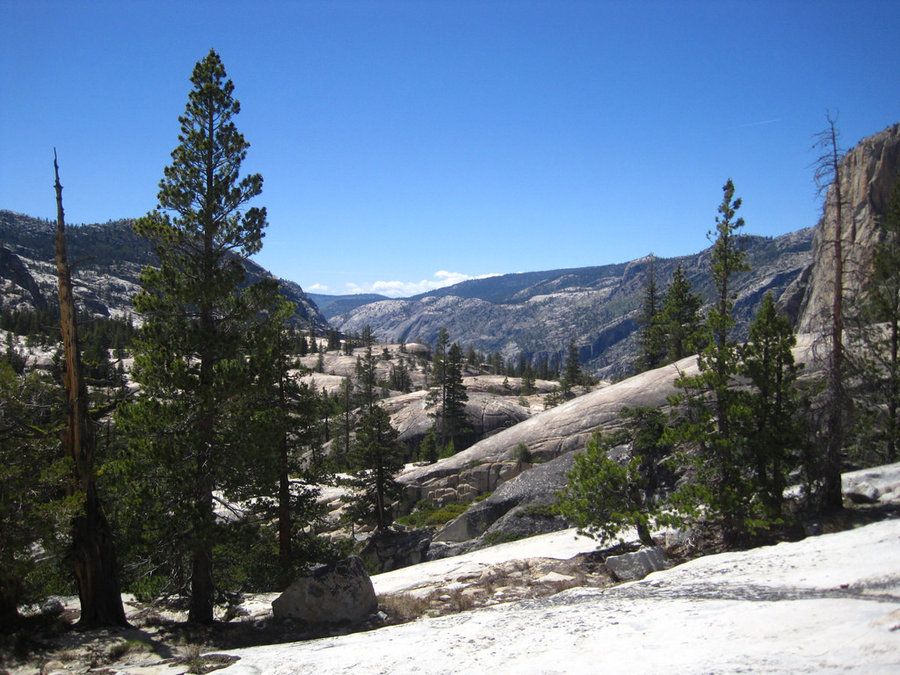
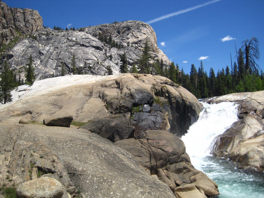
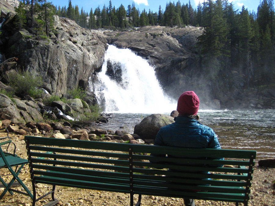
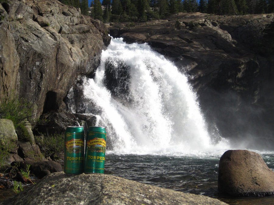
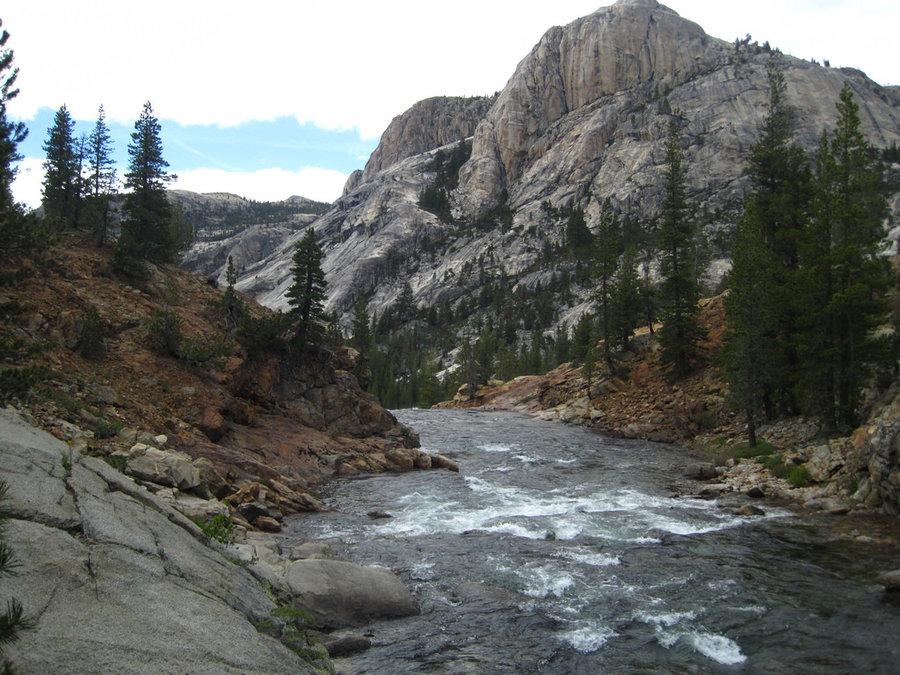
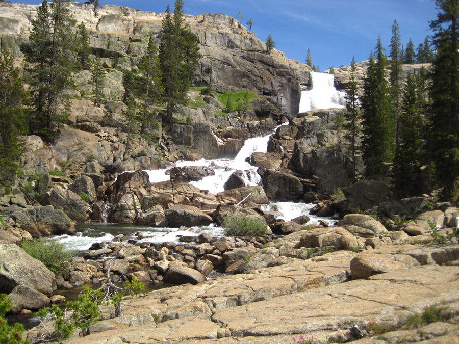
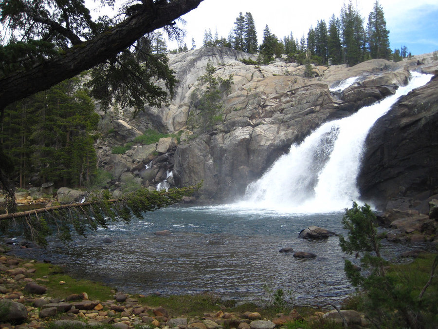
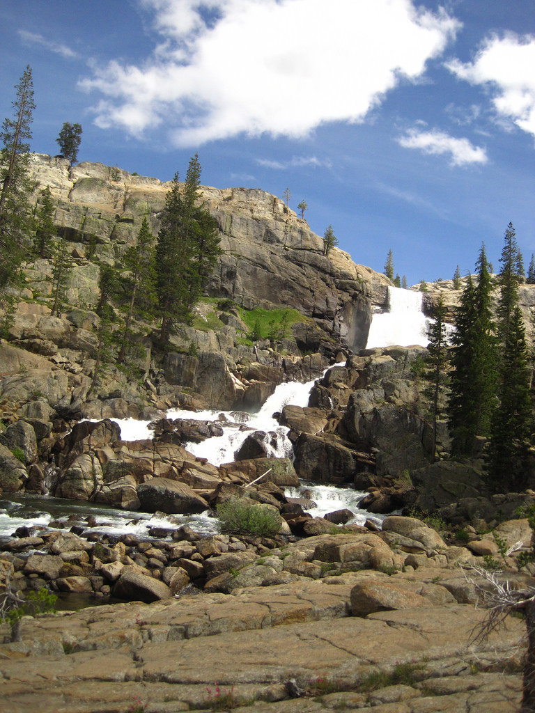
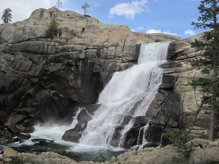
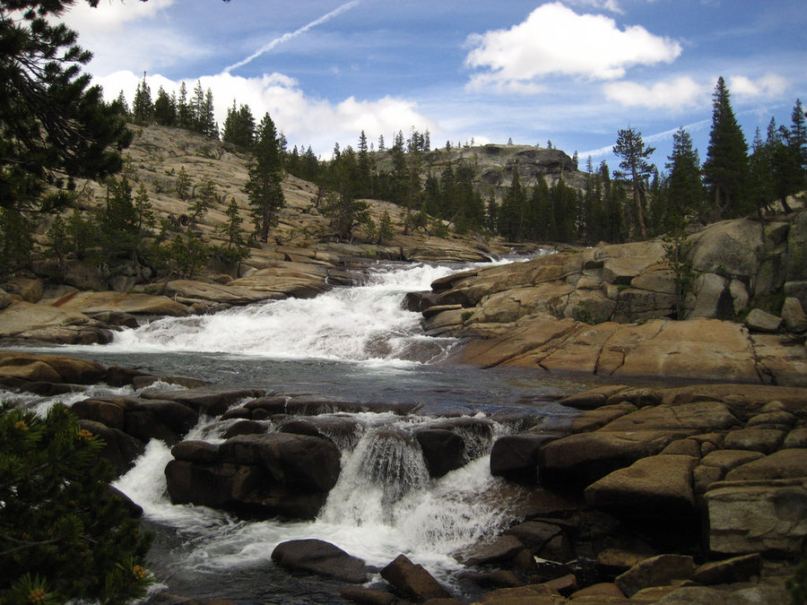
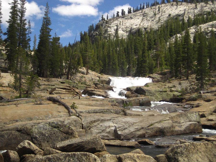
Waterwheel Falls - Grand Canyon of the Tuolomne River, Yosemite NP
8.5 miles of hiking • 500' elevation gain • 1 night
In the morning, we decided to hike to the famous Waterwheel Falls. After starting down the trail past Glen Aulin, the trail became more and more spectacular as we passed many large and unusual waterfalls and vistas. We decided to camp away from the busy backpackers camp, so we went back after a 1/2 mile of scouting for camps and packed up our stuff and moved down to an awesome shelf at a secluded bend that included views of the surrounding canyon and a waterfall of our very own. We worried that the wind would be an issue, so we set up camp in a more wooded location adjacent to the rock shelf and had lunch there. Renewed and relieved that we had found such a sweet camp, we set off again for Waterwheel Falls. While it was a cool once we finally reached it, we were more impressed by the fantastic and humbling power of California Falls along the way. Even unknown LeConte falls was jawdroppingly beautiful. The Sierras are so much different from the PacNW. The smooth white granite and sloping nature of the falls is a real contrast from the dark and sheer basalt rocks we have here. As Waterwheel Falls slopes hundreds of feet down, the huge cascade of water hits uneven lips on the stone and it flings the water up and away, creating an interesting effect. The huge drop off makes for an awesome vista at the top. You can see for miles down the huge canyon. We returned to camp for a beautiful sunset and a great end to one of the best days in the wilderness I can remember.
June 17 – June 18, 2014

 1
1
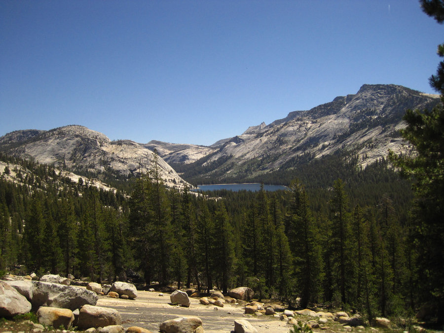
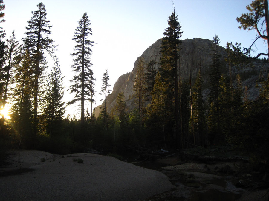
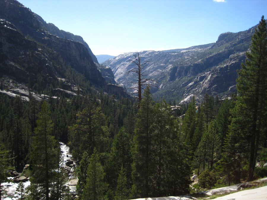
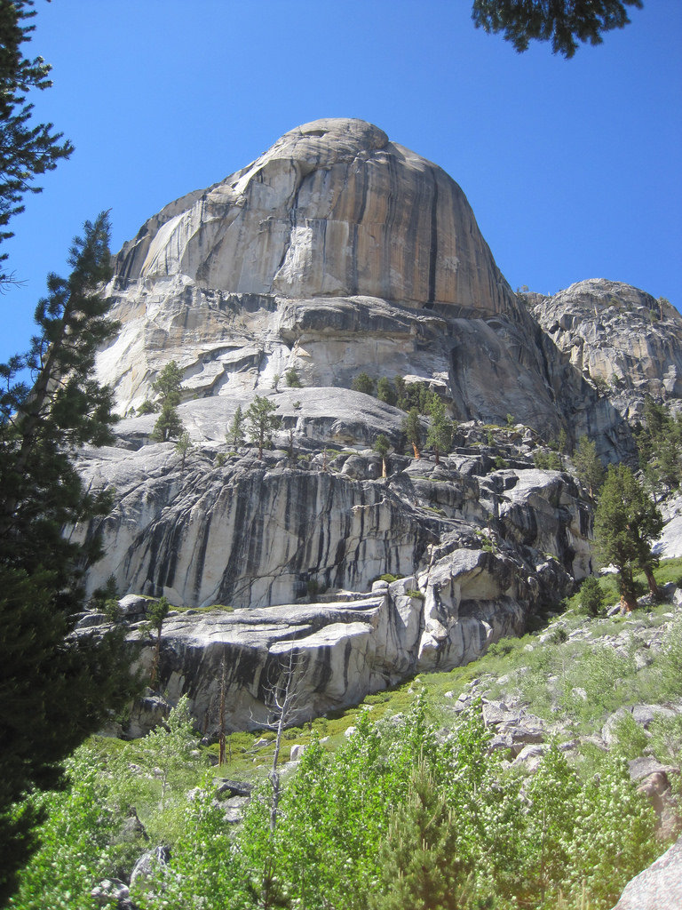
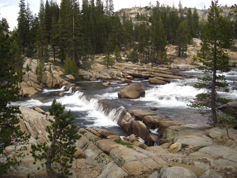
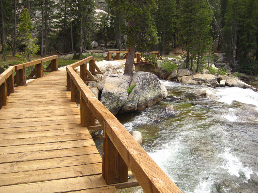
Glen Aulin High Sierra Camp - Yosemite National Park
7 miles of hiking • 0' elevation gain • 1 night
We set out to hike the entire length of the Tuolomne River canyon (33 miles), but after blisters became an issue for my wife, we decided to do a shorter version and hit the highlights. Our hike originated at the Glen Aulin trailhead in Tuolomne Meadows. Glen Aulin is a High Sierra Camp run by concessionaire that has tent cabins and meals all prepared for you. The camps were not open until the weekend (June 20th) so only the backpackers camp was occupied. Several groups shared the communal campfire rings with the PCT thru-hikers that came by on the short leg that is shared. Highlights include the beautiful White Cascade falls, Tuolomne Falls, Lembert Dome, the Soda Springs, and Parsons Lodge built by the Sierra Club in the early 1900's.
June 16 – June 17, 2014

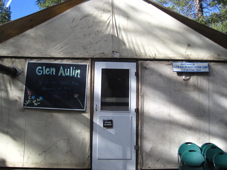
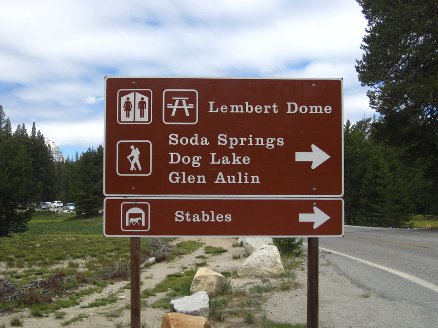
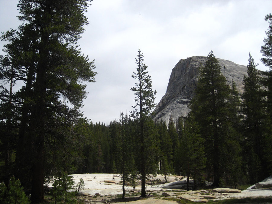
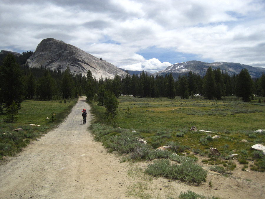
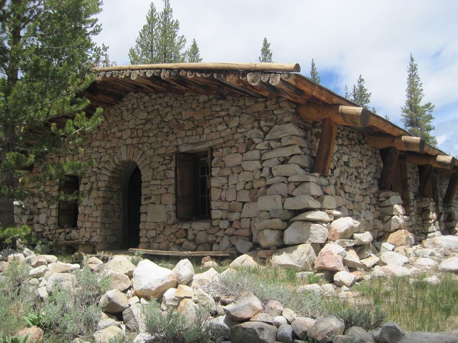 1
1
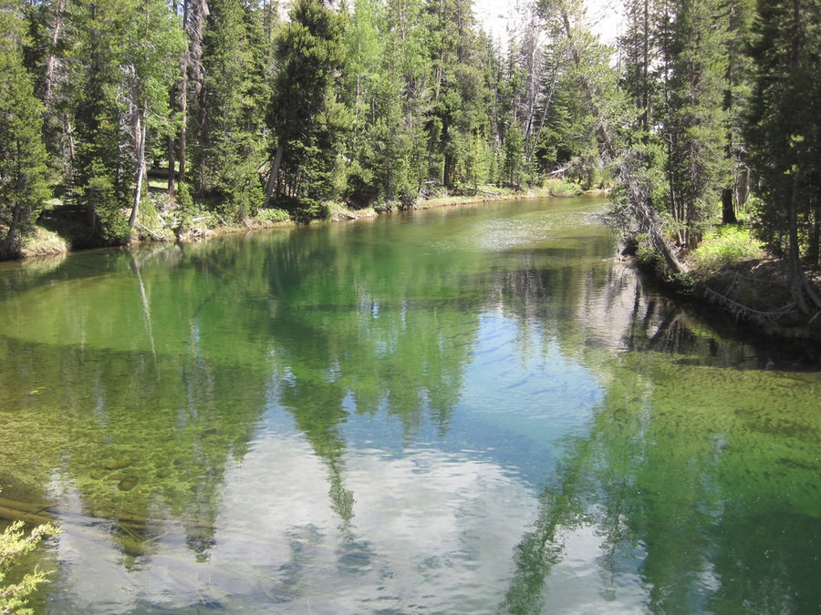
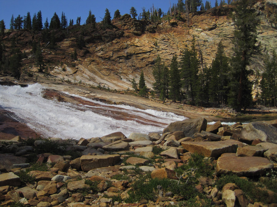
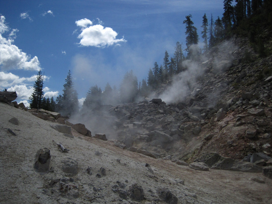
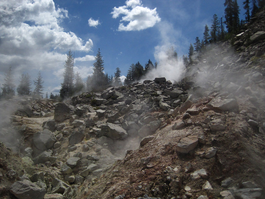
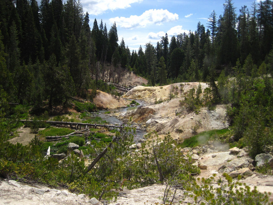
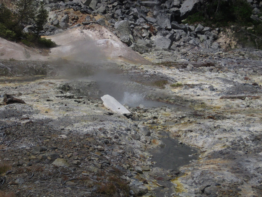
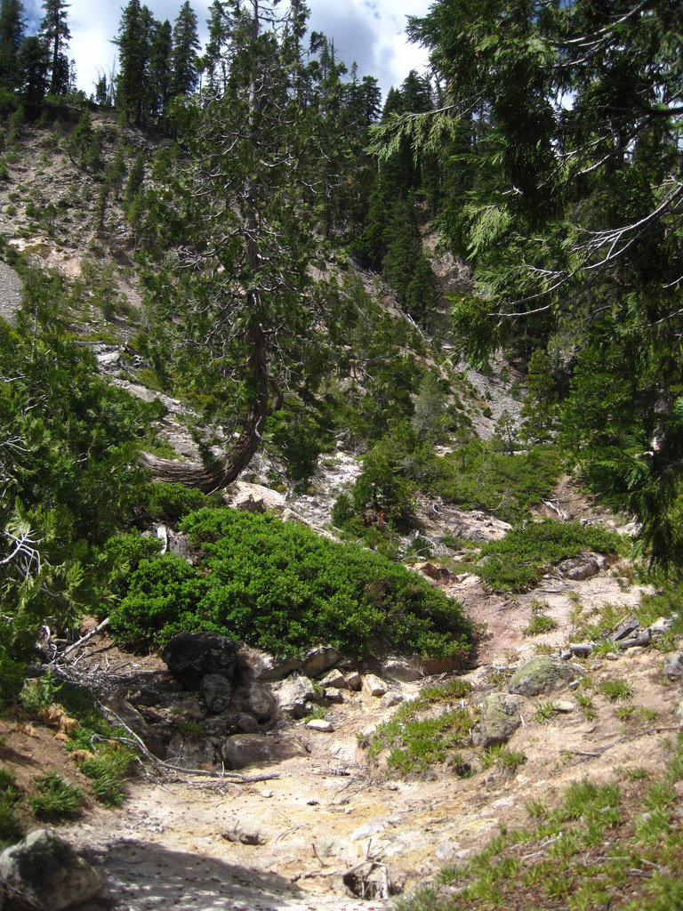
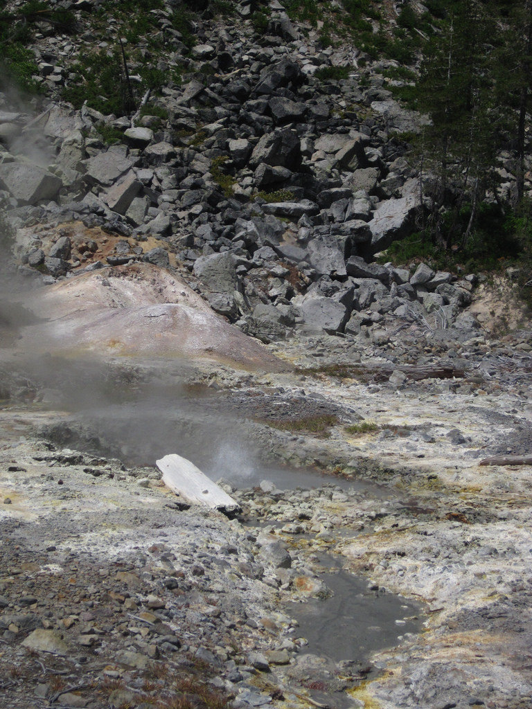
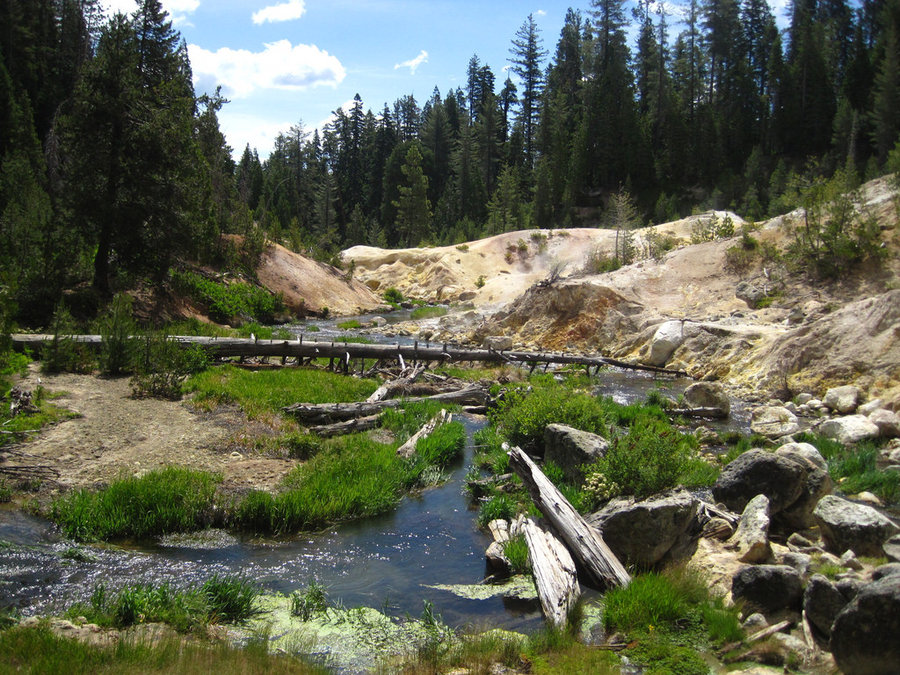
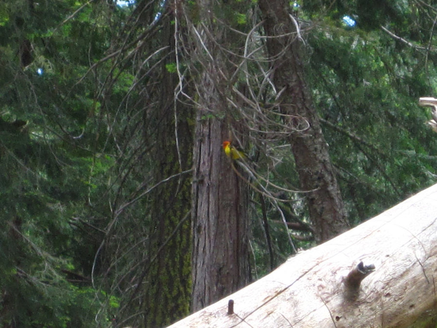
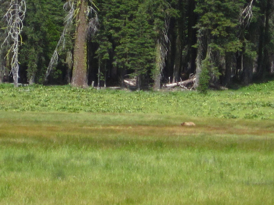
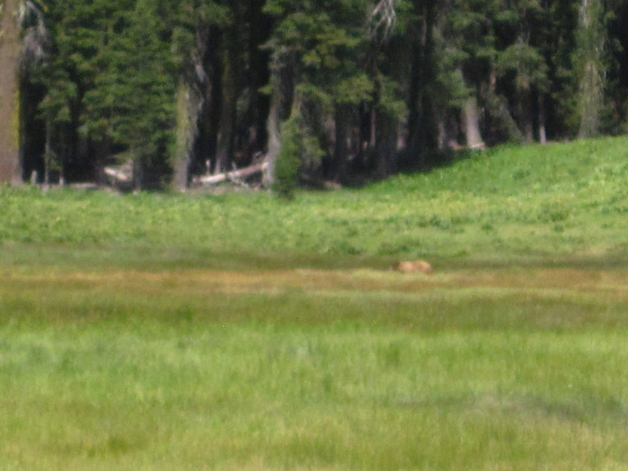
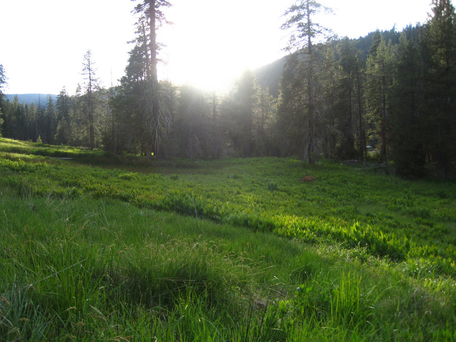
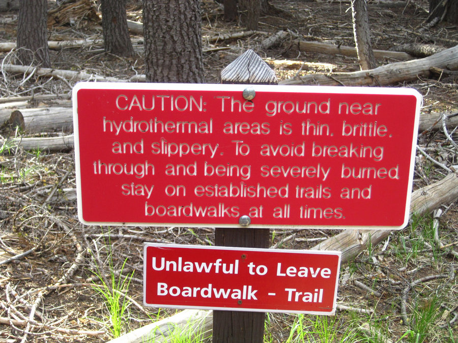
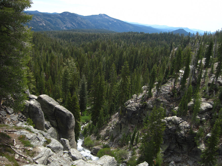
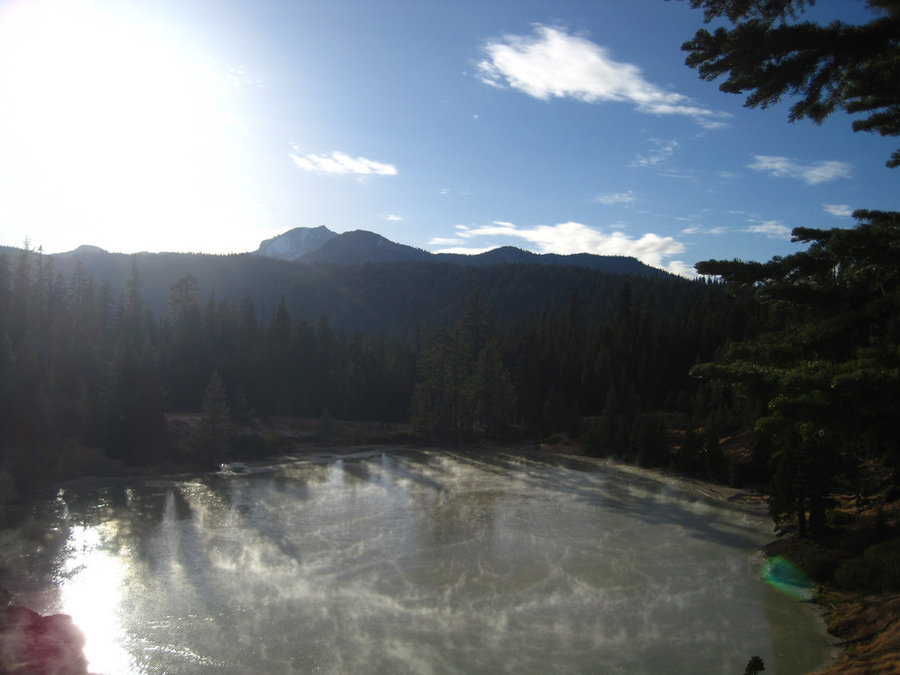
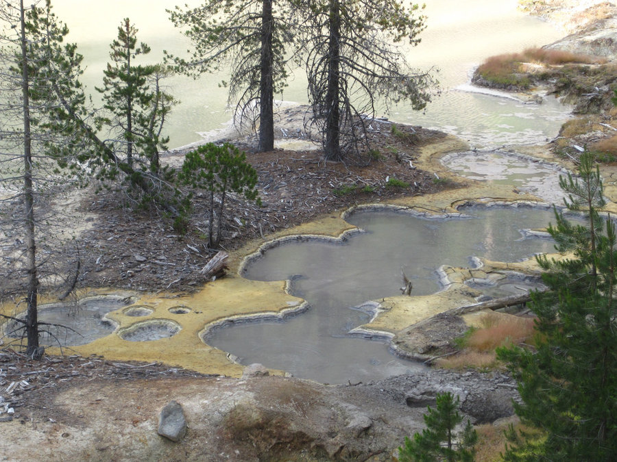
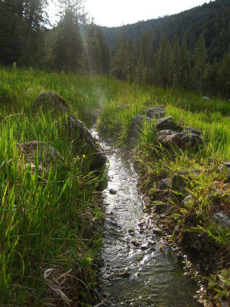
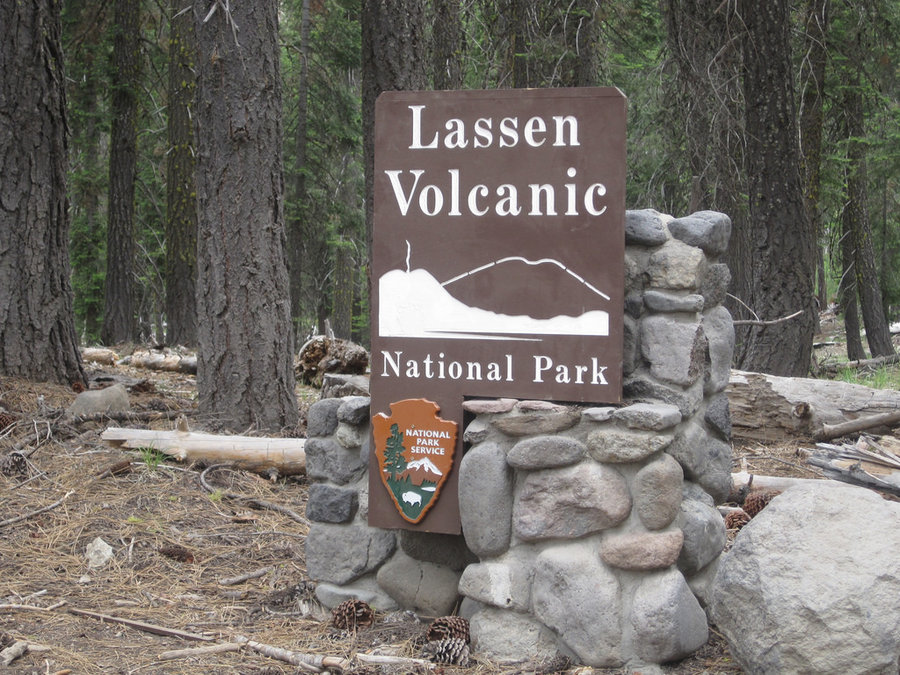
Devil's Kitchen geothermal site - Lassen Volcanic National Park
4.2 miles of hiking • 250' elevation gain •
Wow! Another fascinating hike in this surprisingly active area. From the same PCT trailhead as Boiling Springs Lake, you can take the fork to aptly named Devil's Kitchen. We had barely started, then as we crossed a large meadow, we stopped in our tracks as we saw a large shape in the grass about 100 yards away. A cinnamon-colored black bear! It ambled slowly across the meadow, not even acknowledging us as we stood with our jaws open and adrenaline pumping. What a way to start a hike! Unbelievable feeling to have seen that bear. The trail continues through the woods for a bit at the far end of the meadow and up a slight incline until you come to more warning signs about staying on the trail. You drop into a creek canyon which is so massively different than any you've ever been in before. The water of Hot Springs creek flows cool and clear through red and yellow muddy alcoves that shoot mud and sulphur fumes. Steam vents from the ground all around and you kind of feel like you might have angered the gods in some way. No wonder it has this bizarre name. I can only imagine the Native American stories that must've centered on this crazy place.
June 15, 2014

 1
1
Kings Creek Falls/Meadow Loop - Lassen Volcanic National Park
6 miles of hiking • 500' elevation gain • 1 night
The first hike on our California trip last week for our birthdays. We decided to break up the drive to Yosemite by stopping off for a detour to Lassen Volcanic National Park. After a stop @ Manzanita Lake near the entrance and a quick peruse of the information boards and visitors center, we settled on a relatively easy Kings Creek falls hike. Lassen has few creeks, though this one has a nice hike along part of it's length. The hike starts down along the small creek as it flows silently through a lovely meadow. Some deer were munching on the small flowers and hardly noticed us as we walked by. There were some very large trees along the way. Doug firs and larch trees, along with some other unidentified conifers make up the tree cover. Sparse in places, rocky terrain, reminiscent of the Timberline trail near Cairn Basin on Mt. Hood's southwestern flank. After the meadows, the trail drops sharply down some rocky "steps". Part of the trail was closed near these cascades, no doubt b/c of some washed out sections. The horse trail was the open option which detours away from the canyon and around to the lower section which takes you to the top of the named falls. This 30' tall cascade was flowing nicely. We decided to turn the hike into a loop by hiking back along Bench Lake which is drying up quickly. The trail returns along the spine of a ridge, all uphill, to the deer meadow and a bridged crossing of lovely Kings Creek and back to the car.
June 14 – June 15, 2014

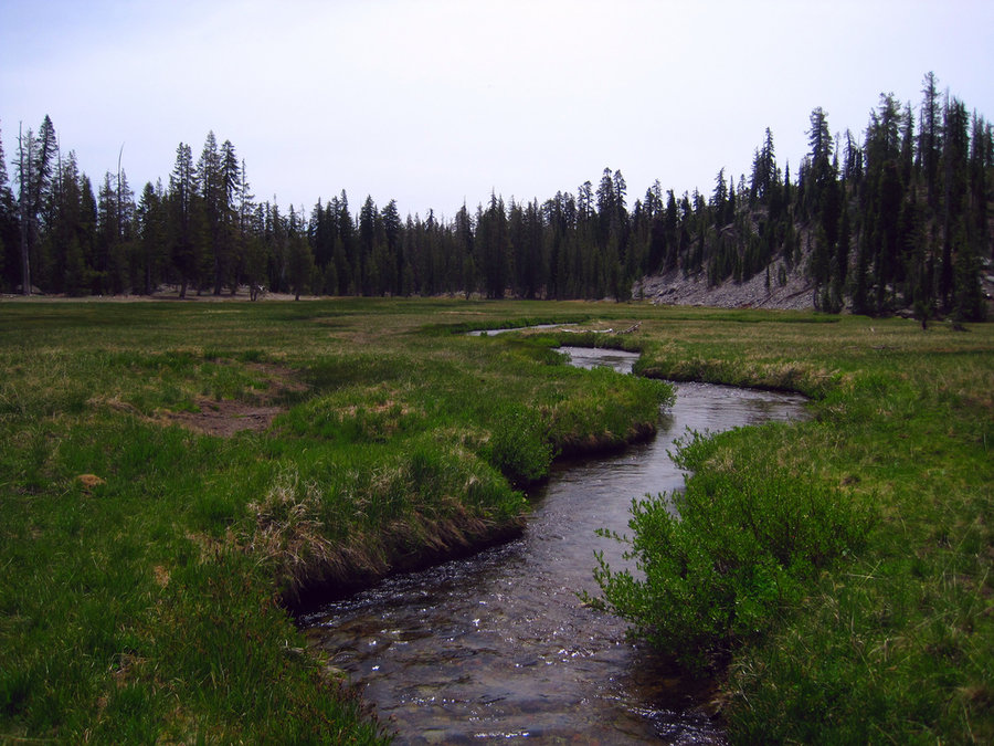
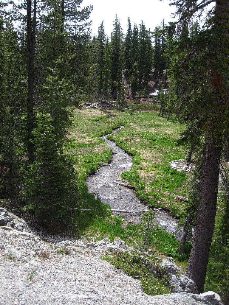 2
2
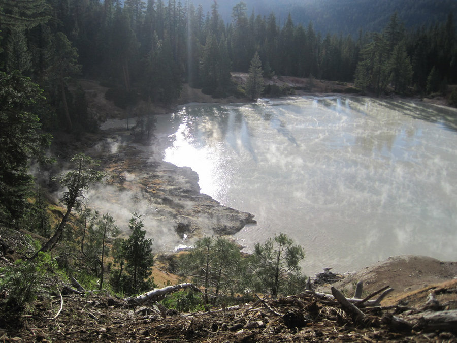
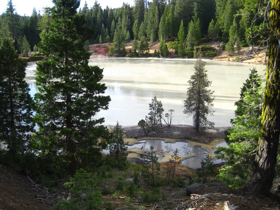
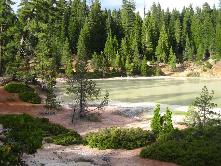
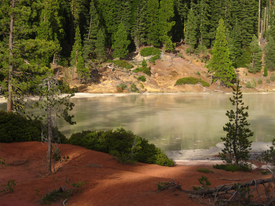
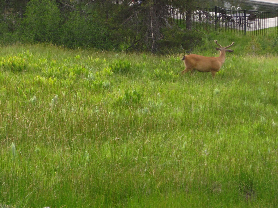
Boiling Springs Lake - Lassen Volcanic National Park
1.8 miles of hiking • 250' elevation gain •
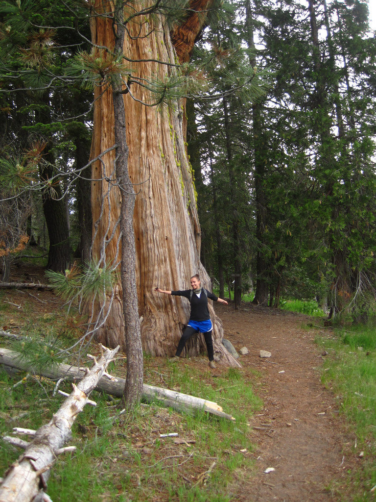
After setting up camp @ Warner Valley Campground, we decided to do a quick evening hike before sundown. This short and stunning hike fit the bill perfectly. After we set out from the junction w/ the PCT nearby, we passed the Drakesbad Lodge and hotsprings where a buck and a doe munched on grass in the lovely meadow. There were sequoia trees along the trail (which resemble MASSIVE junipers to some degree), some very large ones! The trail is uphill through the woods for a short distance until you see signs warning you about walking through geothermal areas and "Stay on the Trail!" The lake is literally boiling, the mudpots spurting, the steam whirling, the water heavy and cloudy with minerals. Fascinating terrain, terrific visuals, and on the far side a nice view of Lassen Peak as the sun was setting. What a cool hike!
June 14, 2014

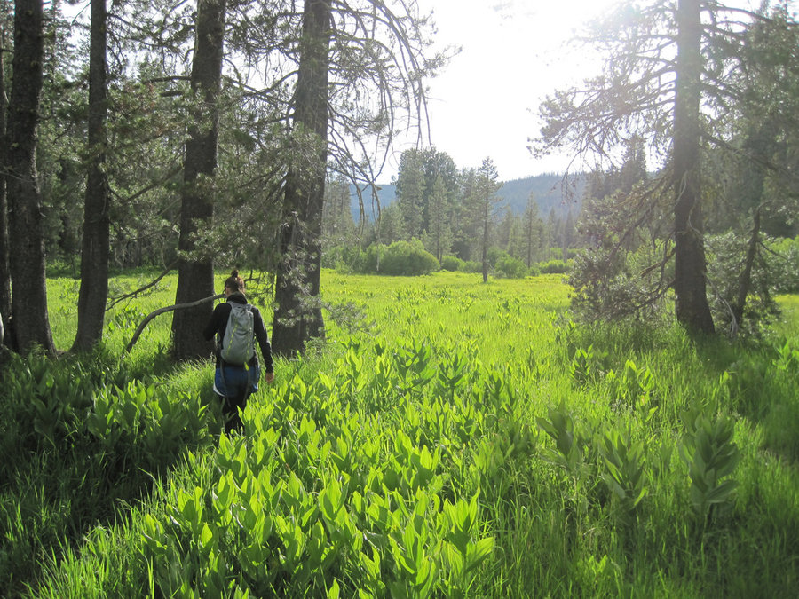
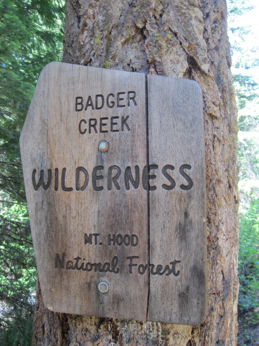
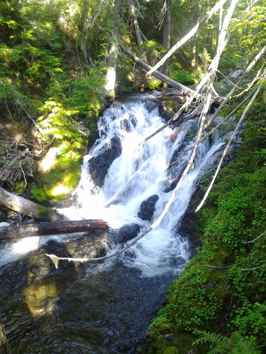
Badger Creek - Mount Hood NF
14.5 miles of hiking • 2000' elevation gain • 1 night
Hiked up to the Badger Creek Cut-off Trail 477. Many fine creek-side camps, but all in view of the trail. Trail itself is not very interesting for the distance I hiked, though there are some interesting rock features above the trail a few miles in. We camped near mile 7. Spotted large waterfall just before Tolo Creek. Saw one group on Saturday night camped @ Pine Creek (best campsite), and three groups going in as we were leaving on Sunday.
June 8 – June 9, 2014

 2
2
Cougar Rock via Elevator Shaft
7 miles of hiking • 2000' elevation gain •
Steep weeknight scramble up to great views of the Gorge. Spotted a dead baby bunny. Johnny & Matt McK accompanied me. Multnomah falls at night was really awesome. Looking up, it was pouring out of the Big Dipper. Amazing.
June 4, 2014


 1
1
Big Huckleberry Mountain via Grassy Knoll
12 miles of hiking • 3000' elevation gain •
Beautiful Saturday for a trip to the Grassy Knoll LO and the Big Huckleberry Mtn LO. First time there, great views and flowers, pretty nice trail.
May 31, 2014

 1
1
Lookout Mountain from E. Line Butte TH
17.5 miles of hiking • 1750' elevation gain • 2 nights
3 day, 2 night trip to Lookout Mtn. Flower show in Big Summit Prairie.
May 24 – May 26, 2014


Eagle-Wahtum-Chinidere-Benson-Ruckel Creek
28 miles of hiking • 5000' elevation gain • 2 nights
Classic Spring trip up Eagle Creek, around Wahtum Lake and the PCT up to Chinidere Mtn and over to Benson Plateau and down Ruckel Creek. Awesome time w/ the guys.
May 16 – May 18, 2014

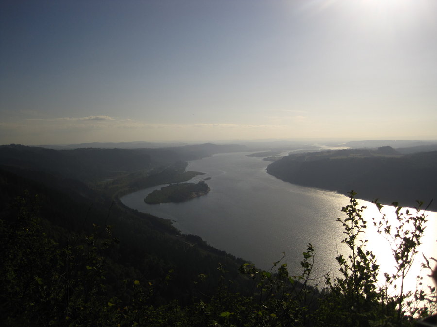
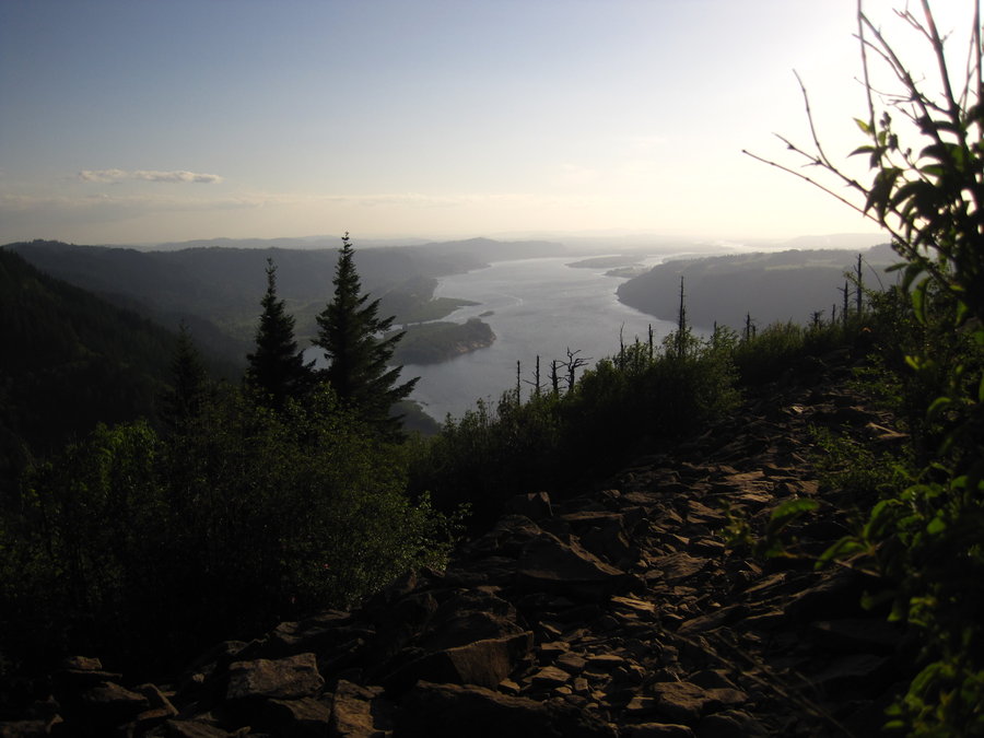
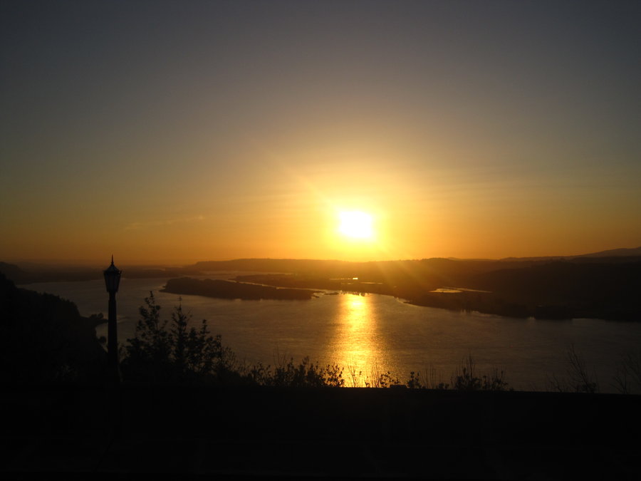
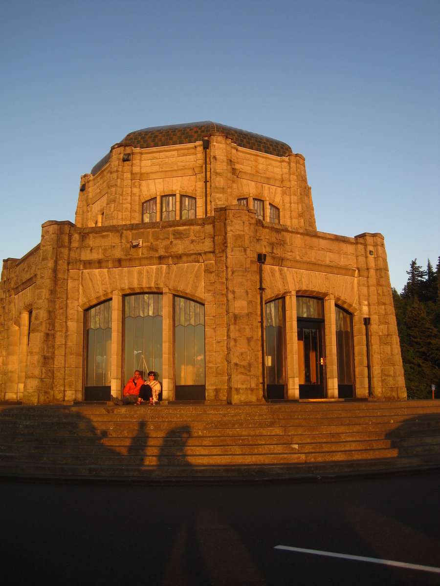
.jpg)
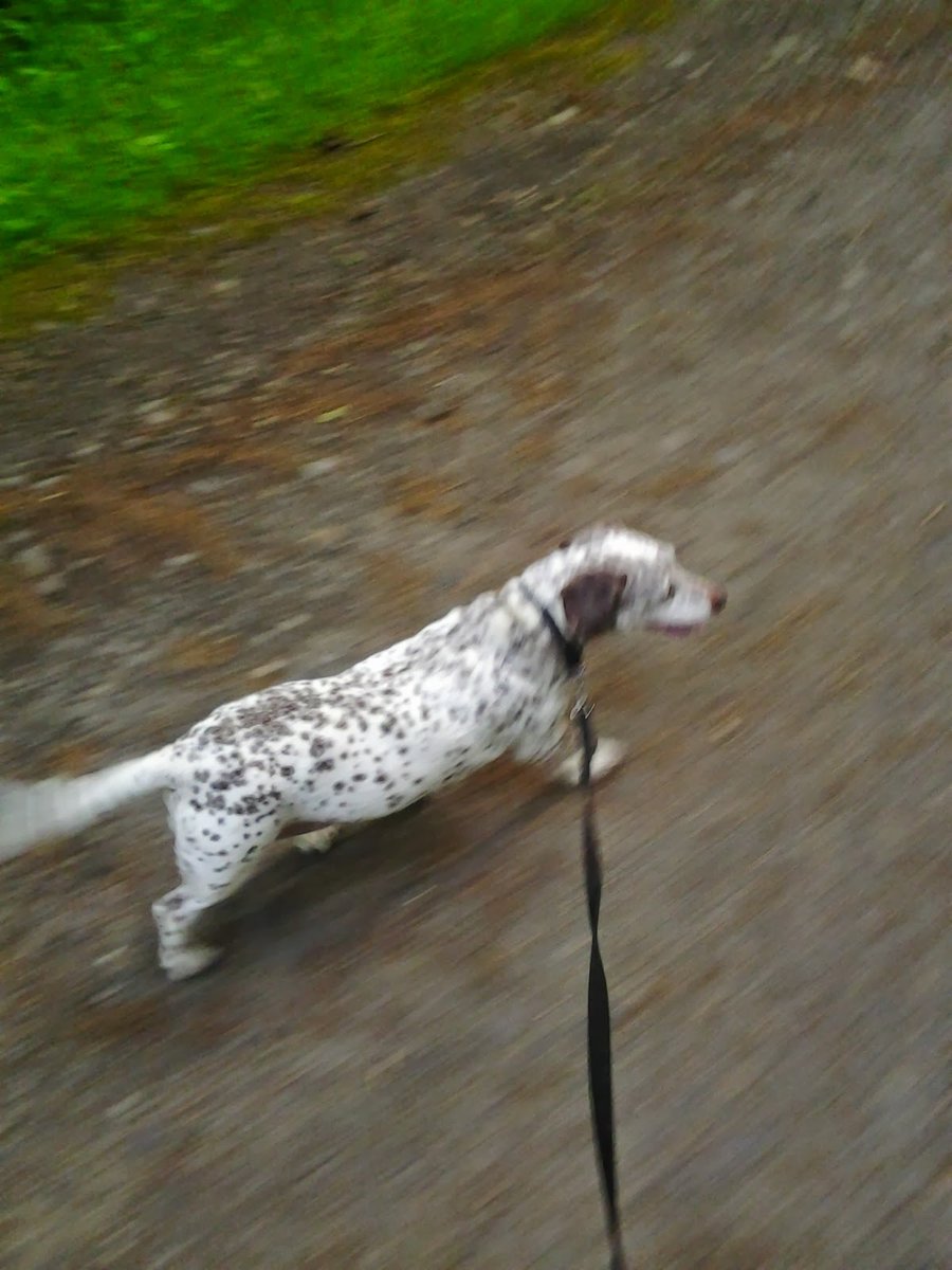
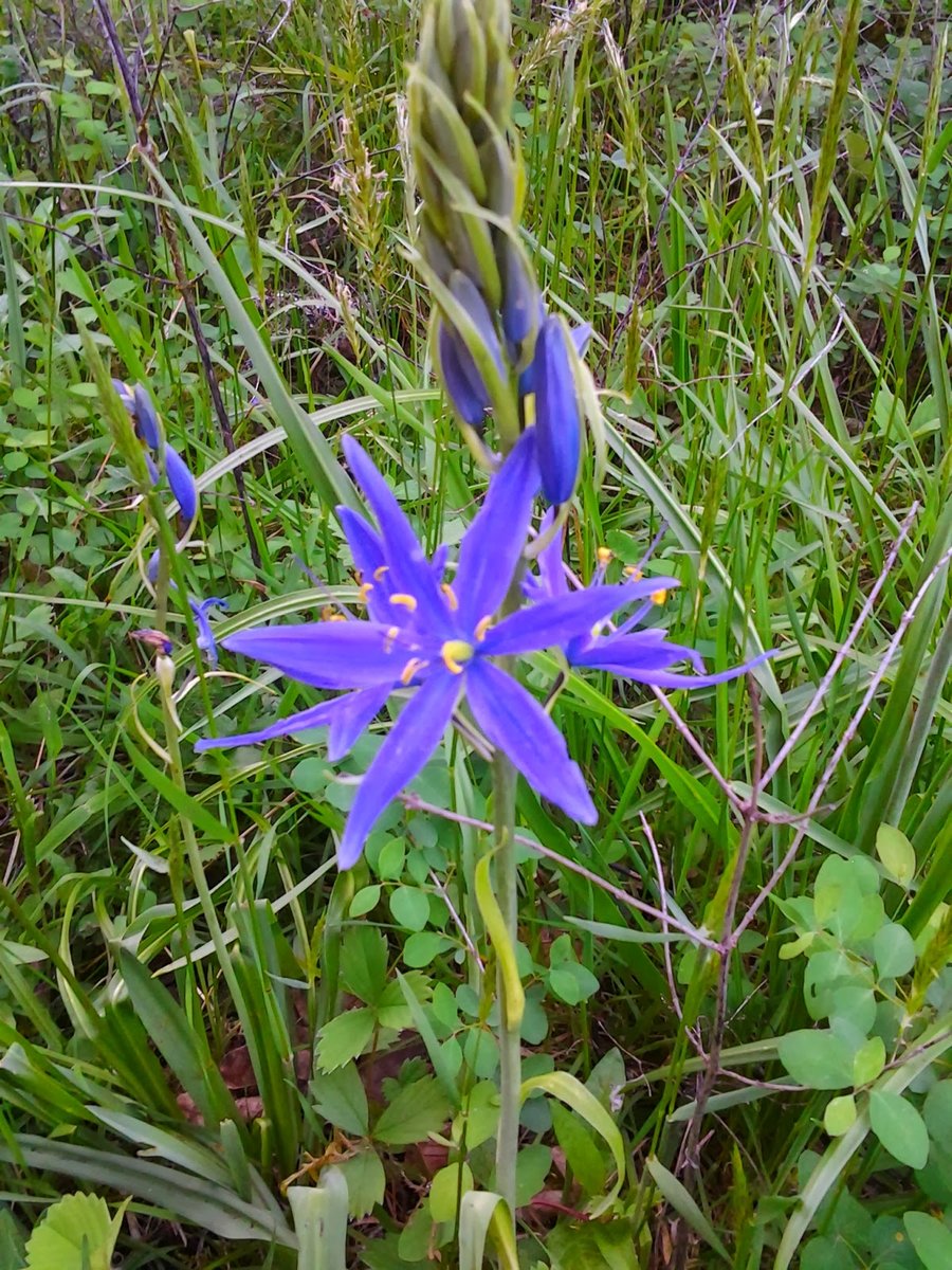
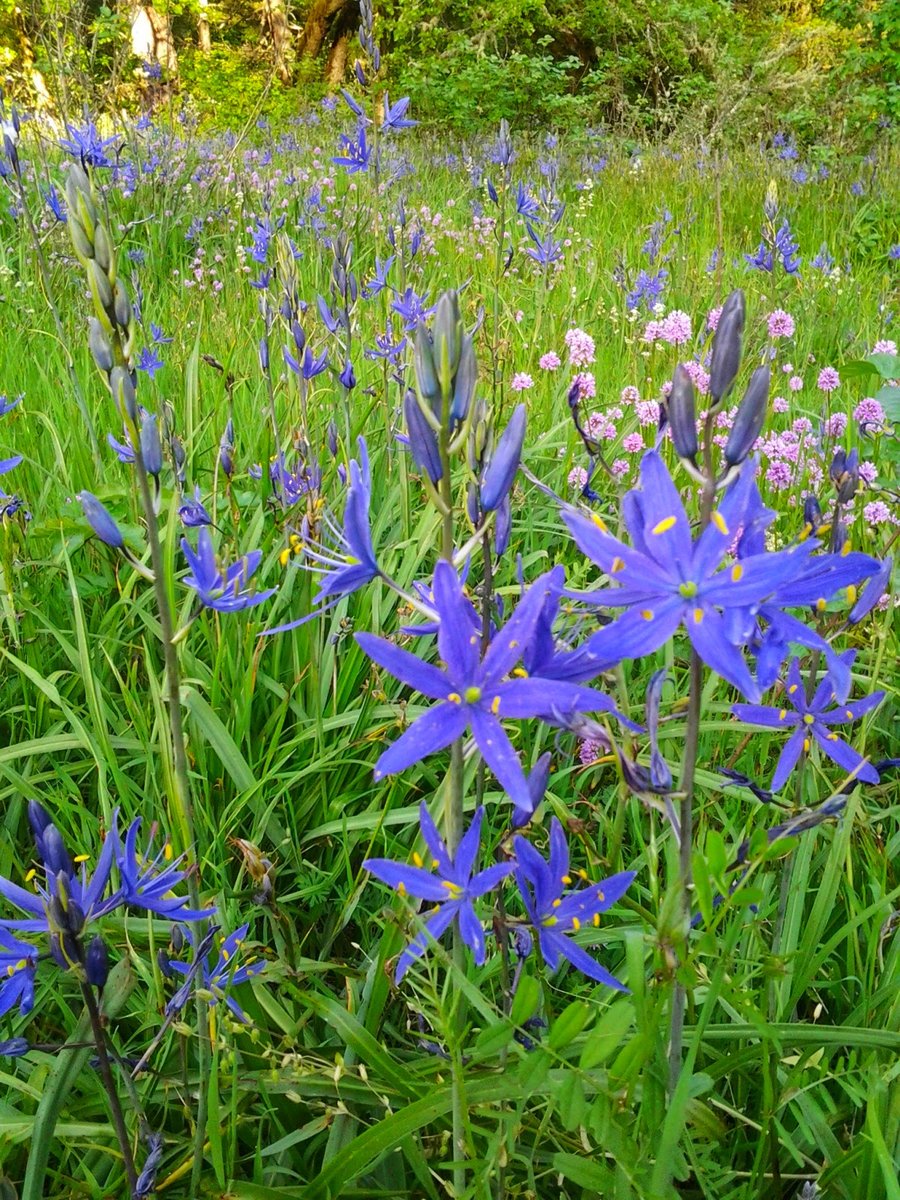
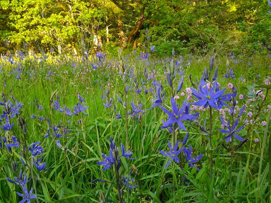
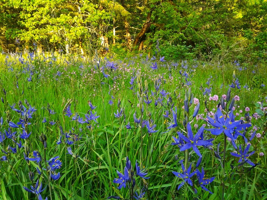
Lacamas Lake Park
5.5 miles of hiking • 750' elevation gain •
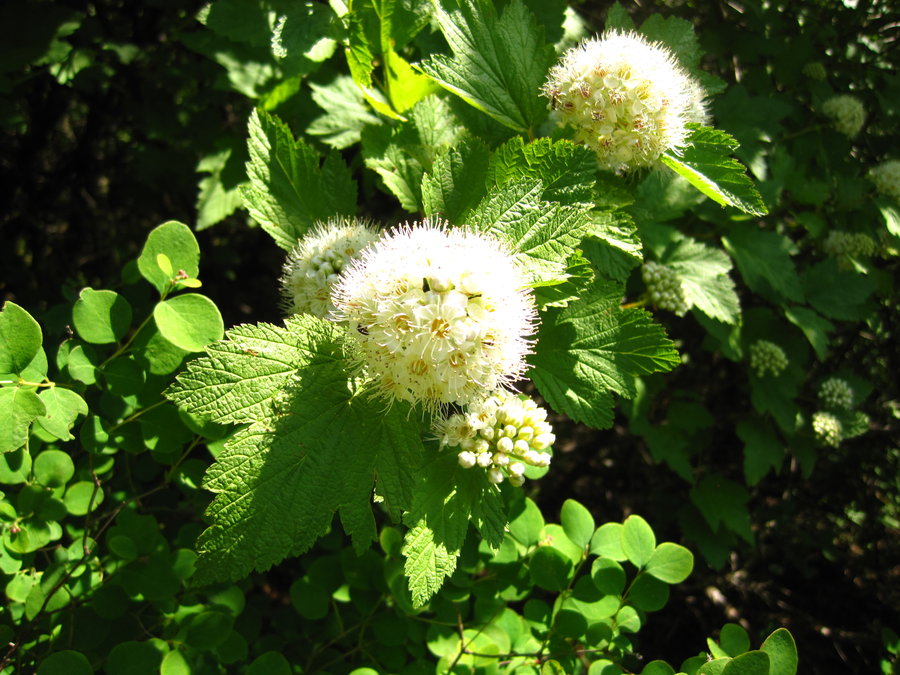
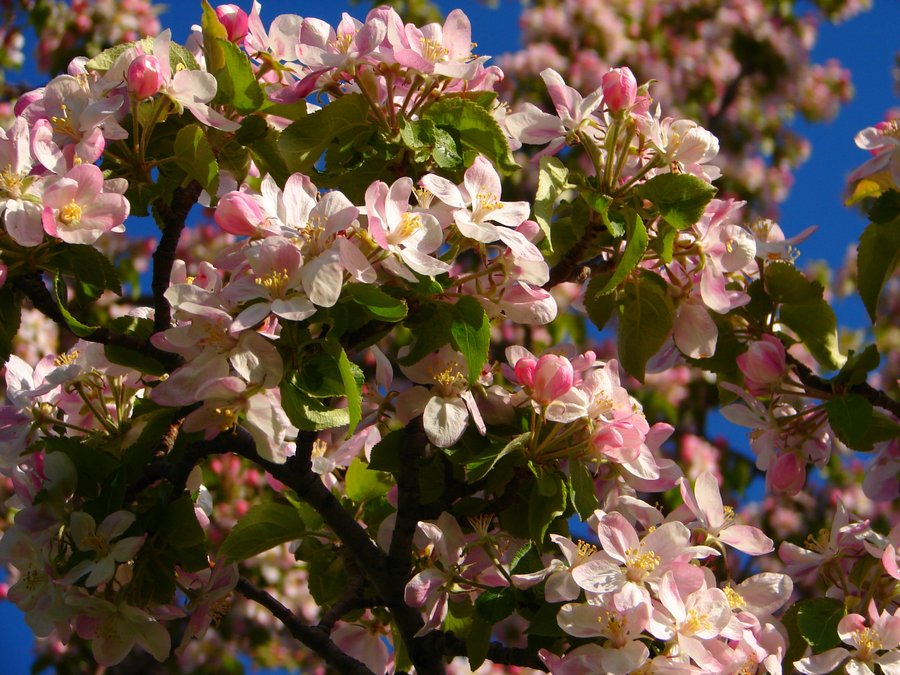
Hike #16 in Sullivan's 100 Hikes was an after work doggy walk. This park is larger than I thought, there are nice trails from a congested picnic area to lesser traveled areas South and East of the lake. The creek and waterfalls were a nice surprise. There are also several fields of camas flowers out there in bloom right now.
May 7, 2014


 1
1
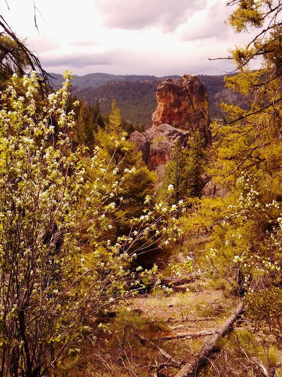
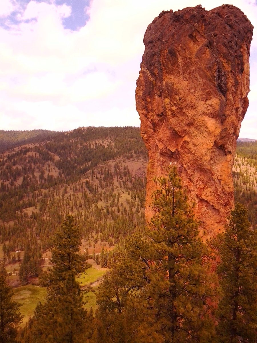
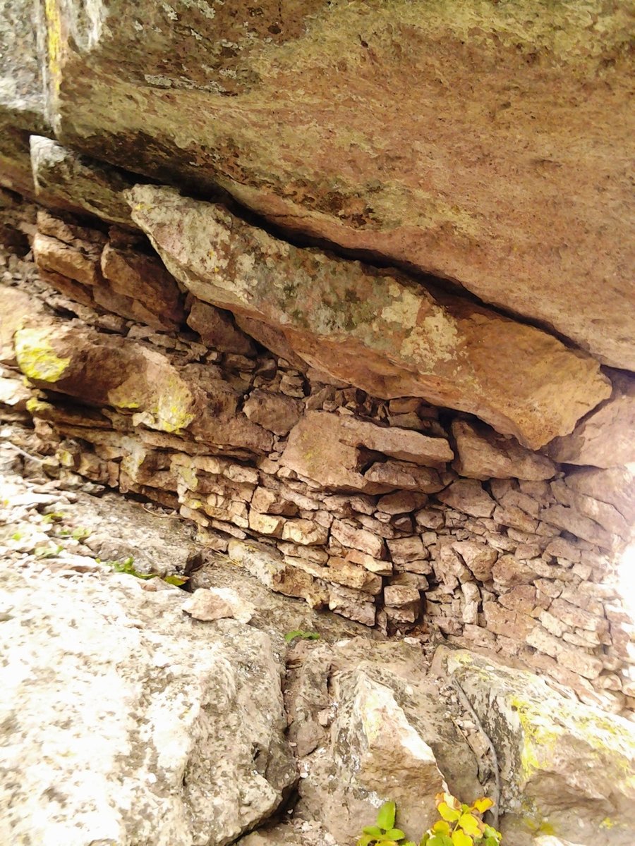
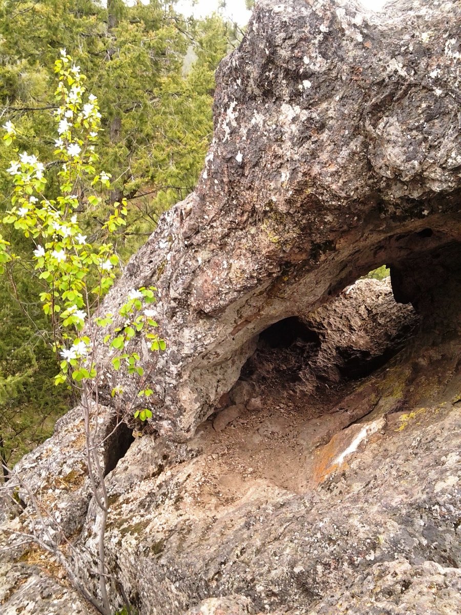
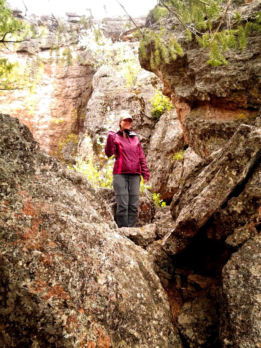
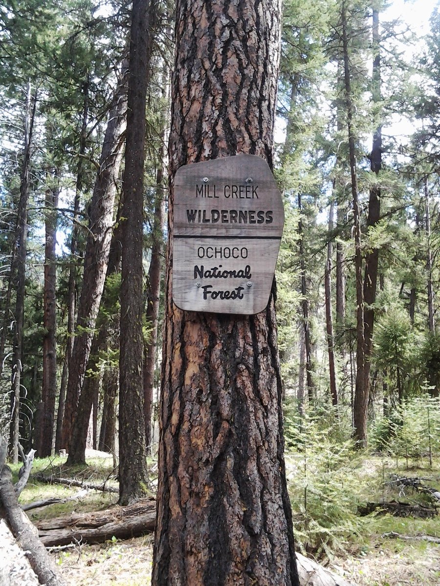
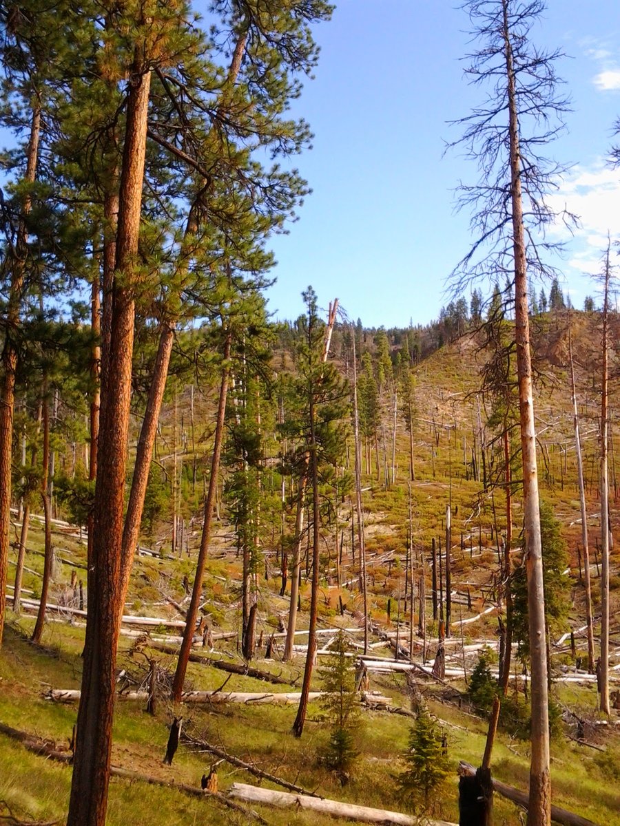
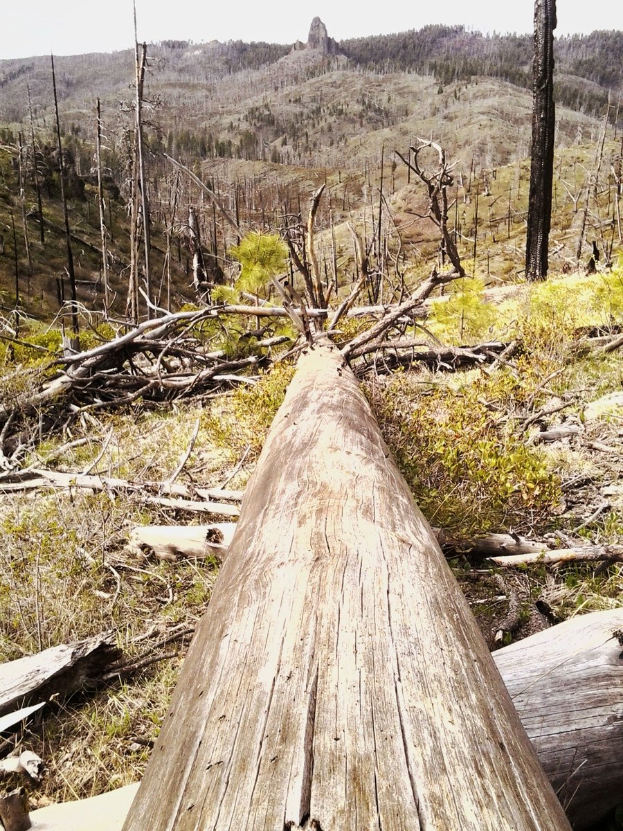
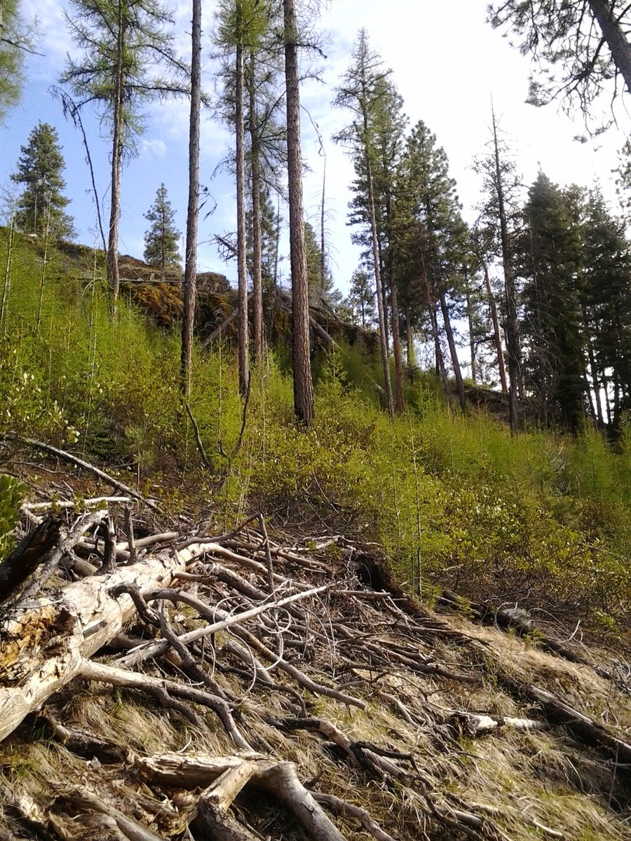
Twin Pillars / Belknap Trail
9.5 miles of hiking • 1250' elevation gain • 1 night
With a rainy forecast for the weekend, we were determined to find a dry spot somewhere in Oregon. Decision: drive 3 1/2 hours East to Prineville.
We did an out and back overnight to the Mill Creek wilderness area. Began at the South Twin Pillars TH and hiked along Mill Creek. The trail crosses the creek 7 times in the first 2 miles before you intersect with the Belknap Trail. Even at high water, it's easily manageable with sandals, but walking in them gave me blisters. This area is recovering from a 2000 forest fire, and many areas surrounding the trail are burned forest. After setting up camp along Mill Creek, we decided to get some elevation by climbing the Belknap Trail to see if we could get some views. After about 1/2 mile you can see the Twin Pillars across the valley that gave this trail it's name. They are the volcanic plugs left over after an eruption some 40 million years ago.
The day was alternating clouds and sun, but warm and pleasant.We passed a couple groups of hikers along the way up and back to camp, but saw no one after that. The evening was cloudy, but no rain and very little wind. We had a nice fire. The next morning was clouds and threatening rain. It seems we merely delayed our escape from the weather. Rain and wind came in spurts, but then it would get sunny again. Some nice flowers out along the trail, and we really enjoyed the contrast of the explosion of life in the Spring in this recovering and normally dry forest.
May 3 – May 4, 2014

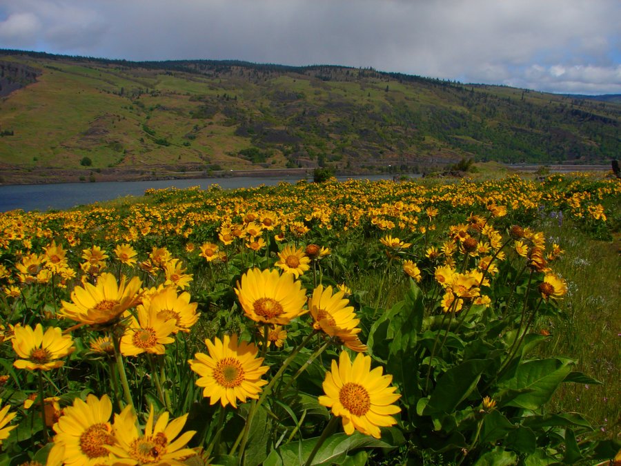
Wildflower Redux
6.5 miles of hiking • 1000' elevation gain •
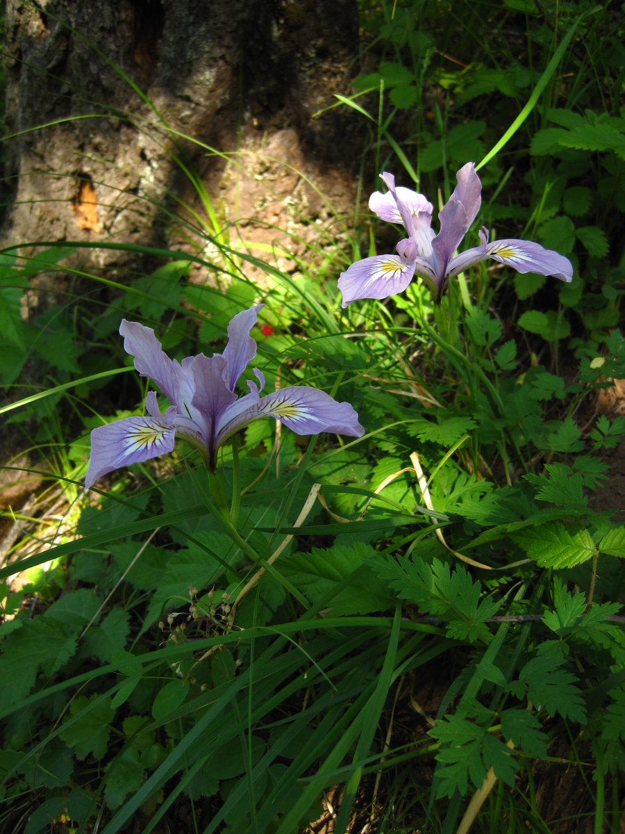
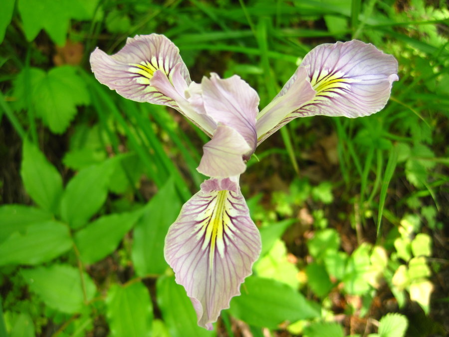
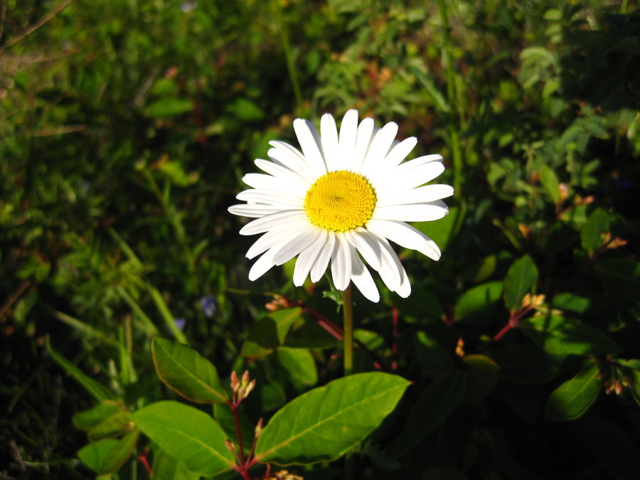
So nice, I did it twice! Visited Bridal Veil Falls (fireweed, camas), Mosier Plateau (lupine, balsamroot, vetch, bachelor buttons, wild cucumber, Audubon's Warblers), Memaloose Overlook, Rowena Plateau, Dalles Mountain Ranch
April 28, 2014
 1
1
Gorge Quadruple-Pak
13 miles of hiking • 3750' elevation gain •
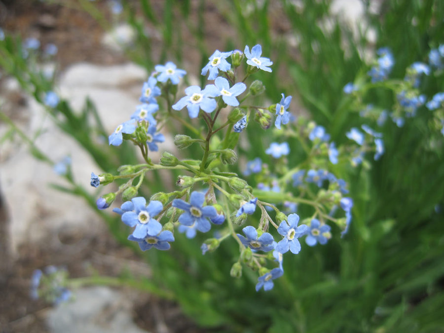
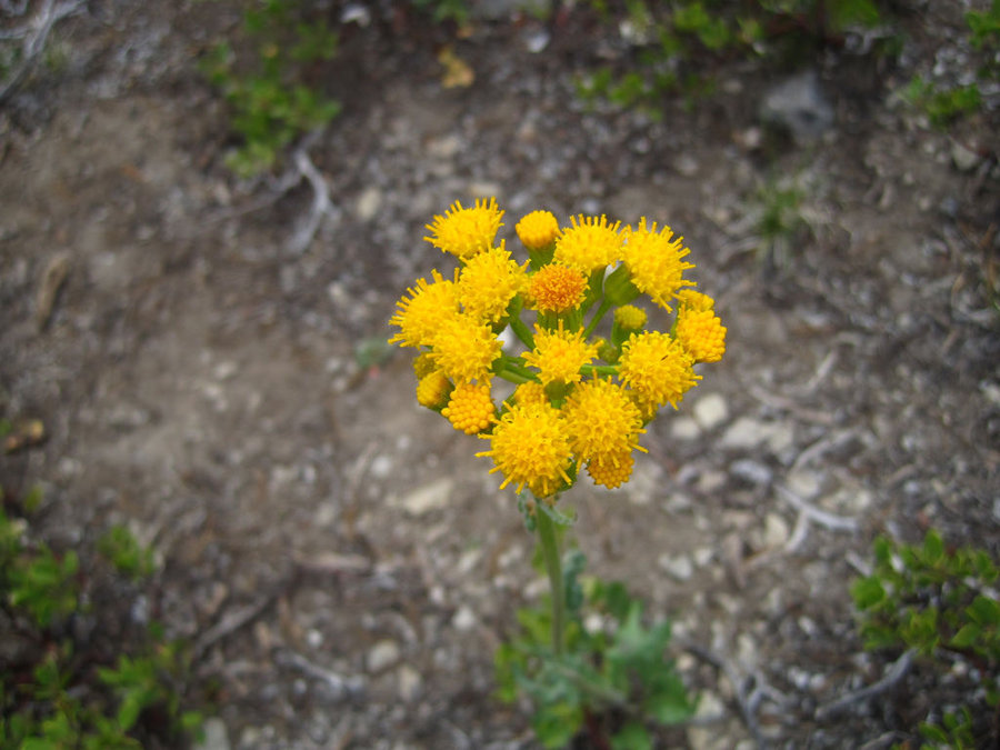
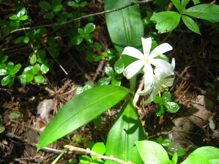
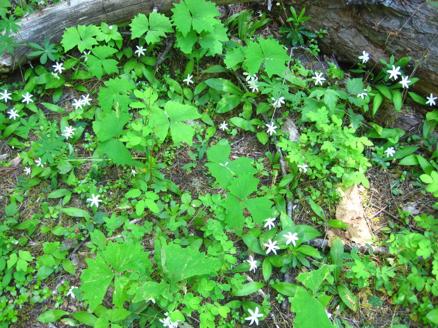
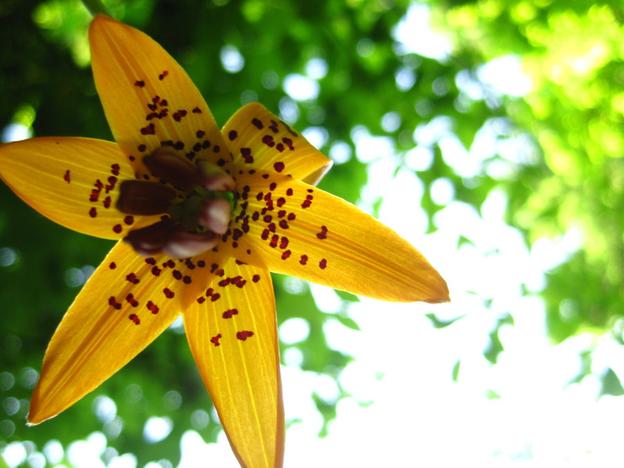
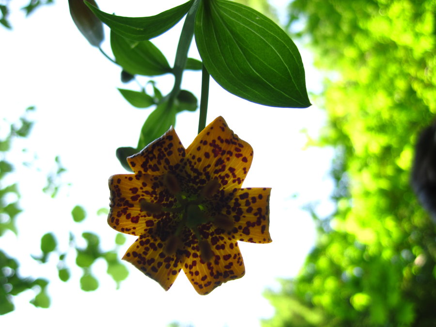
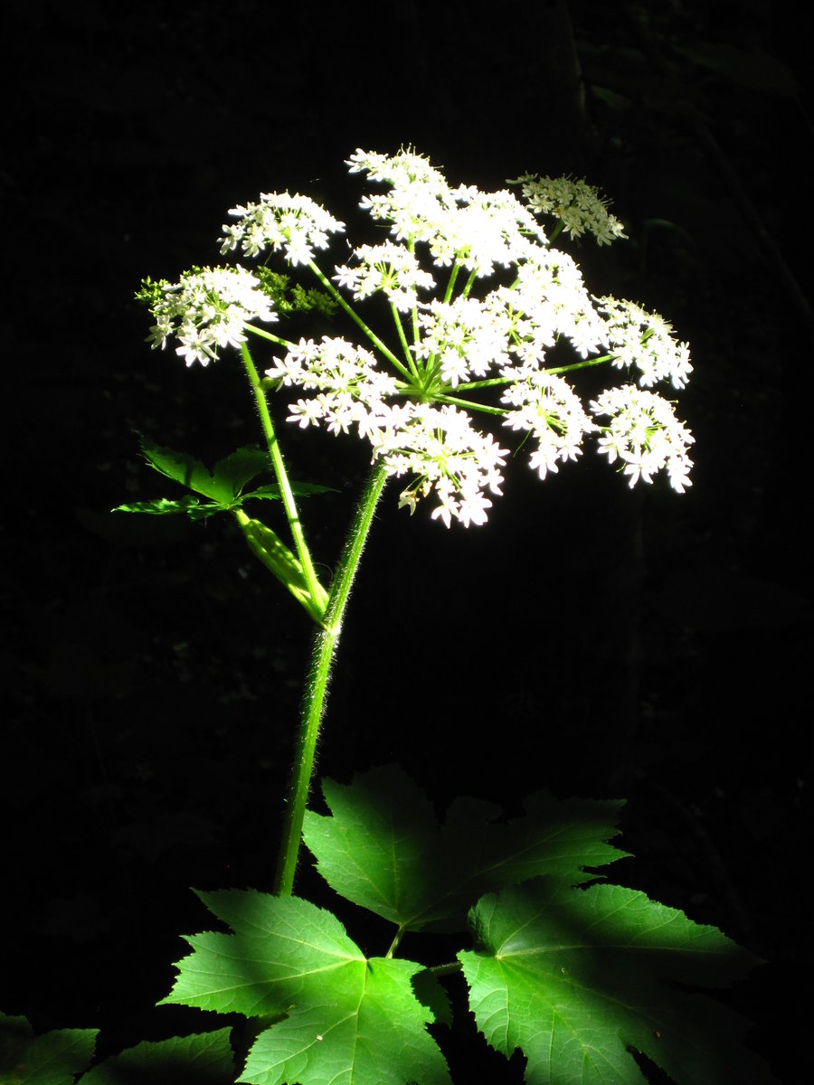
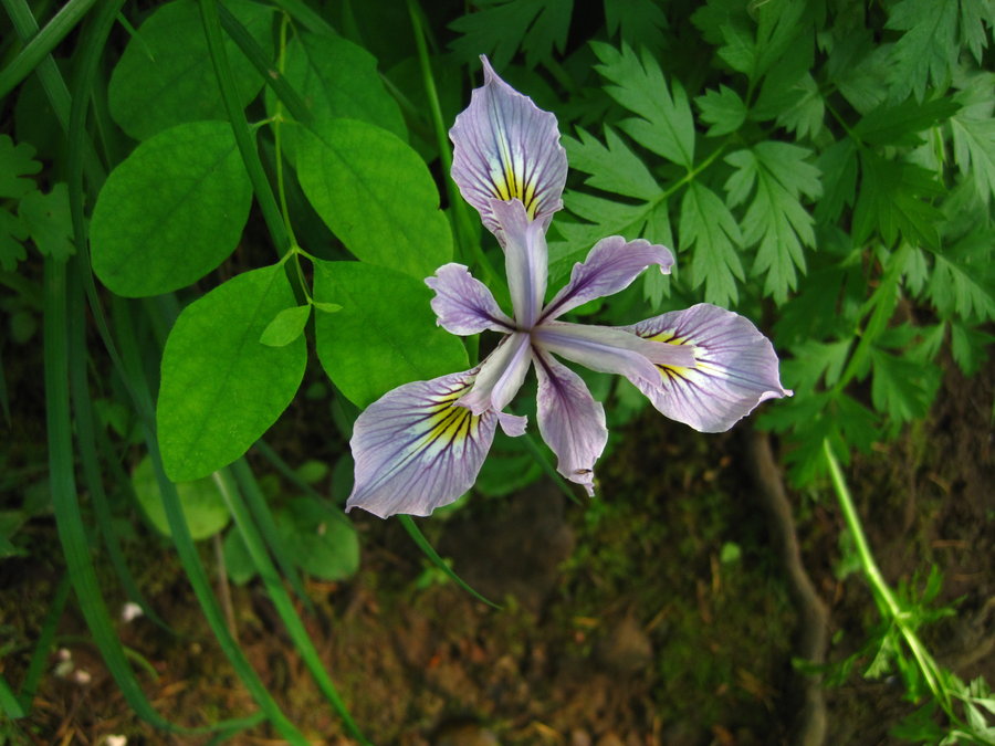
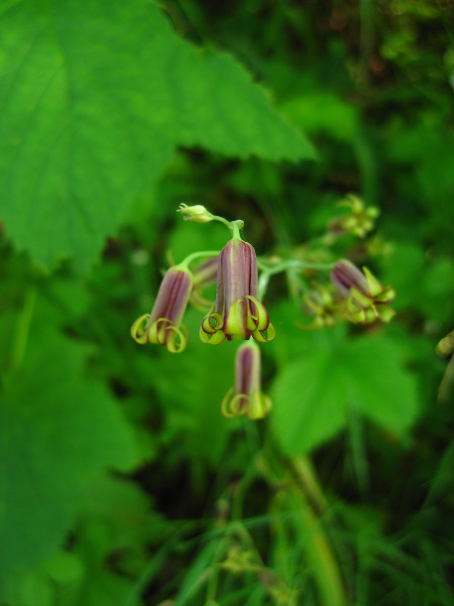
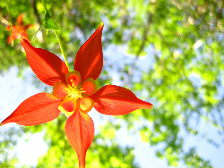
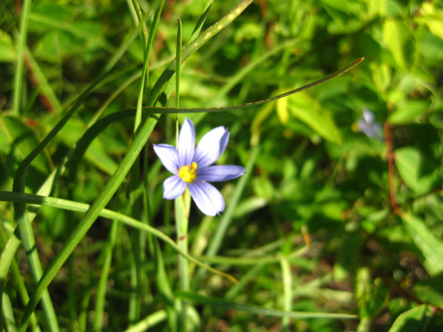
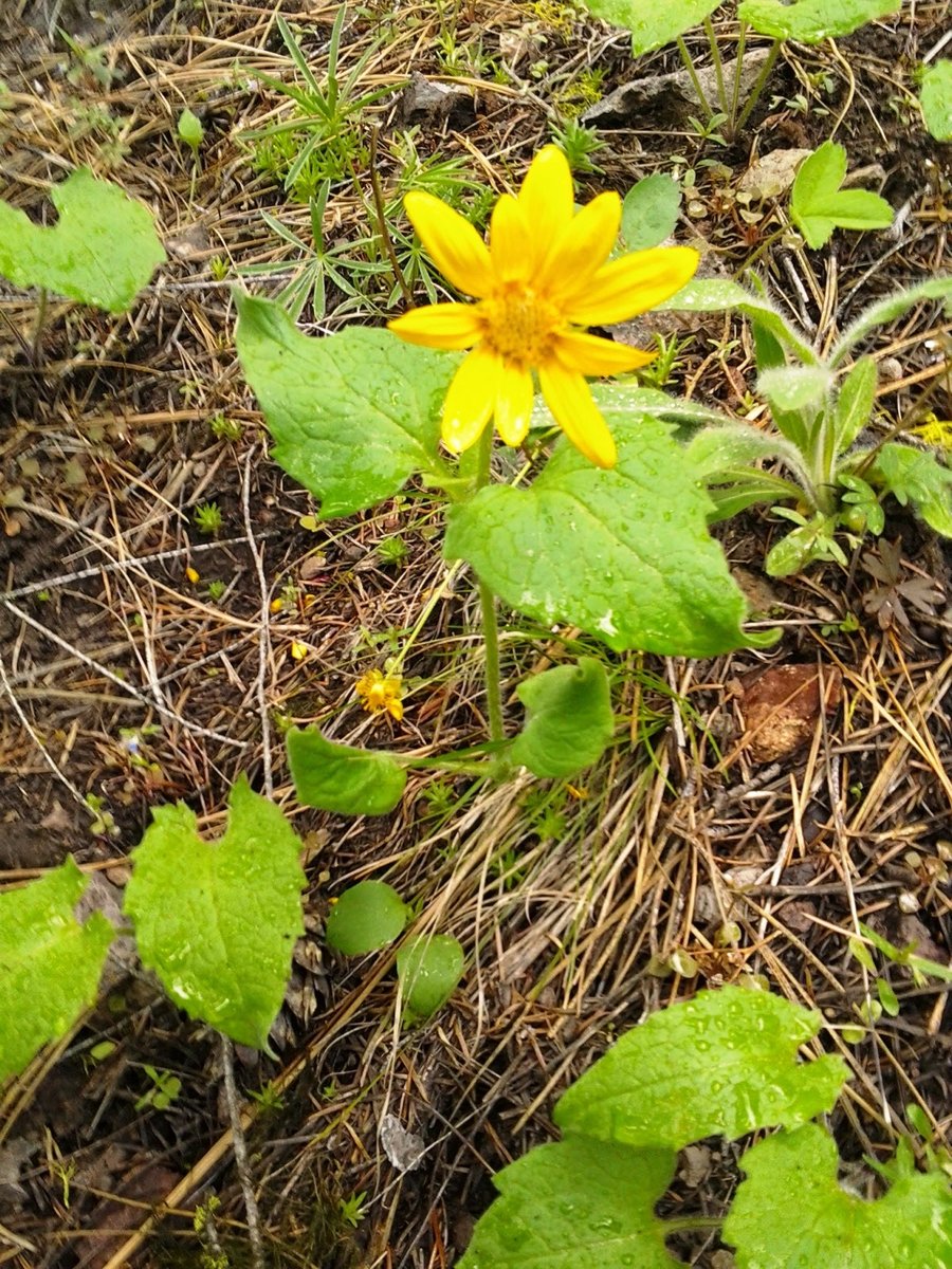
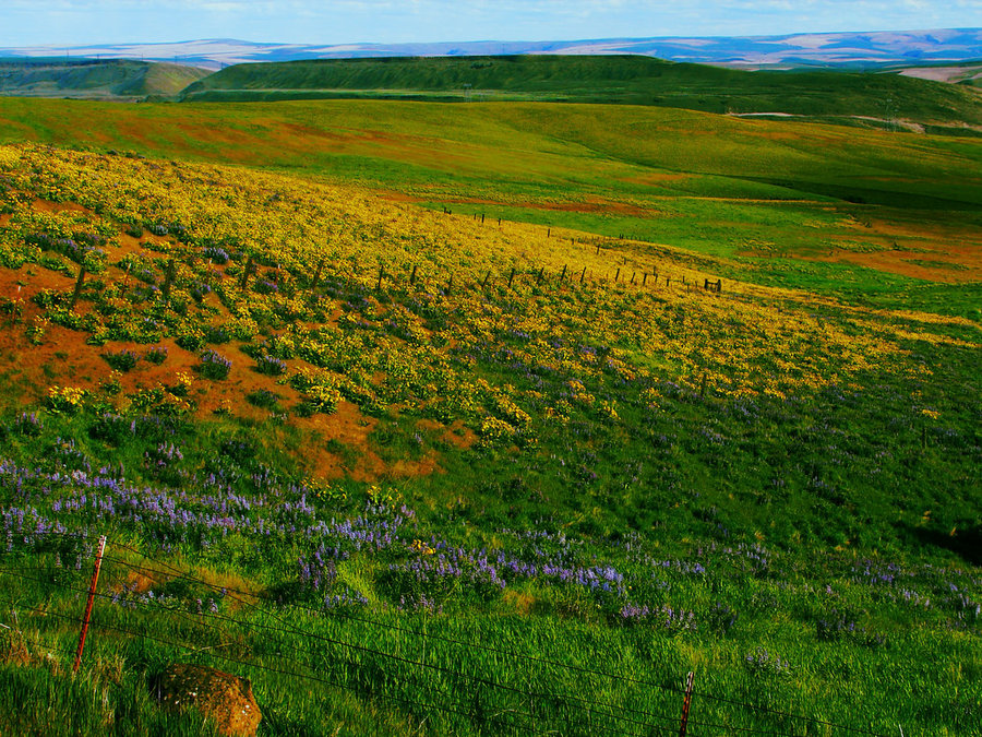
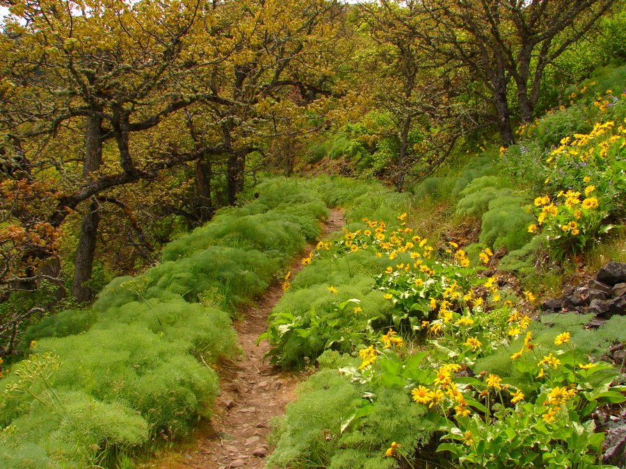
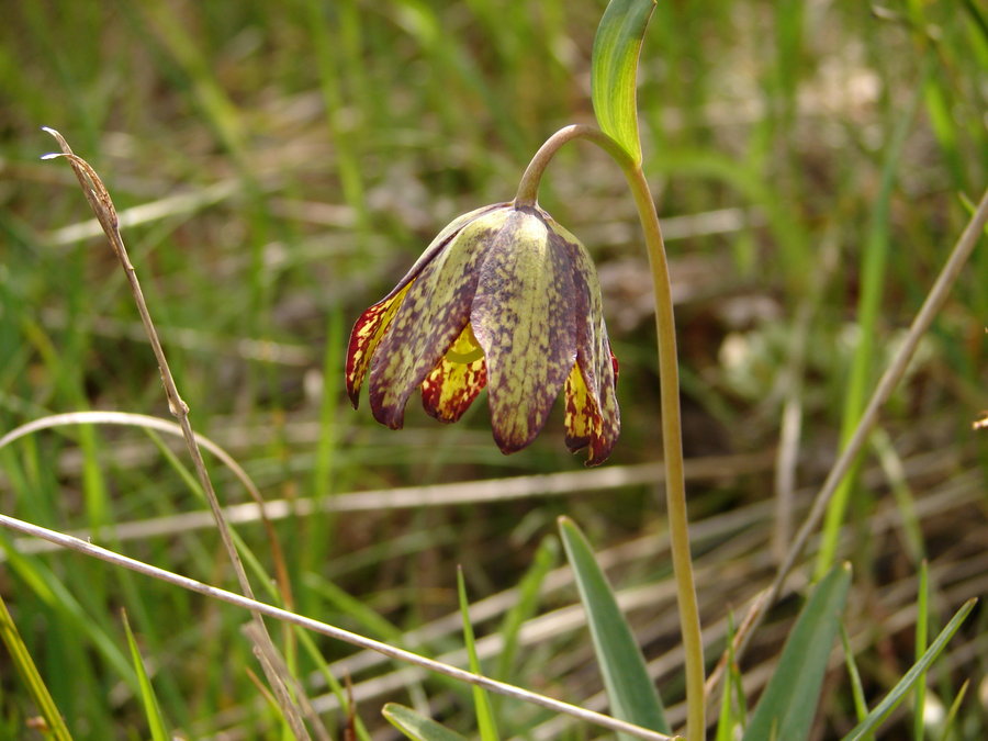
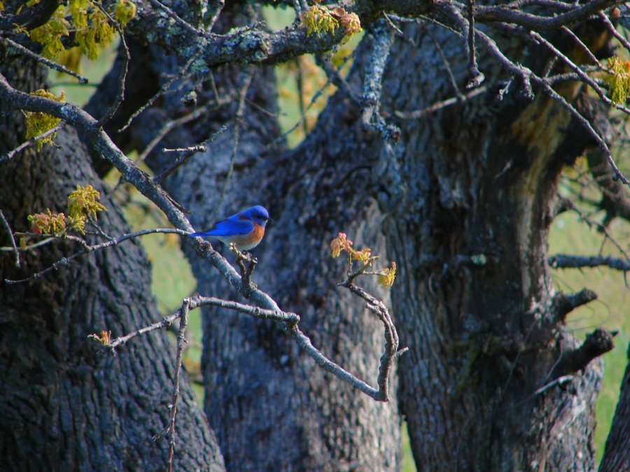
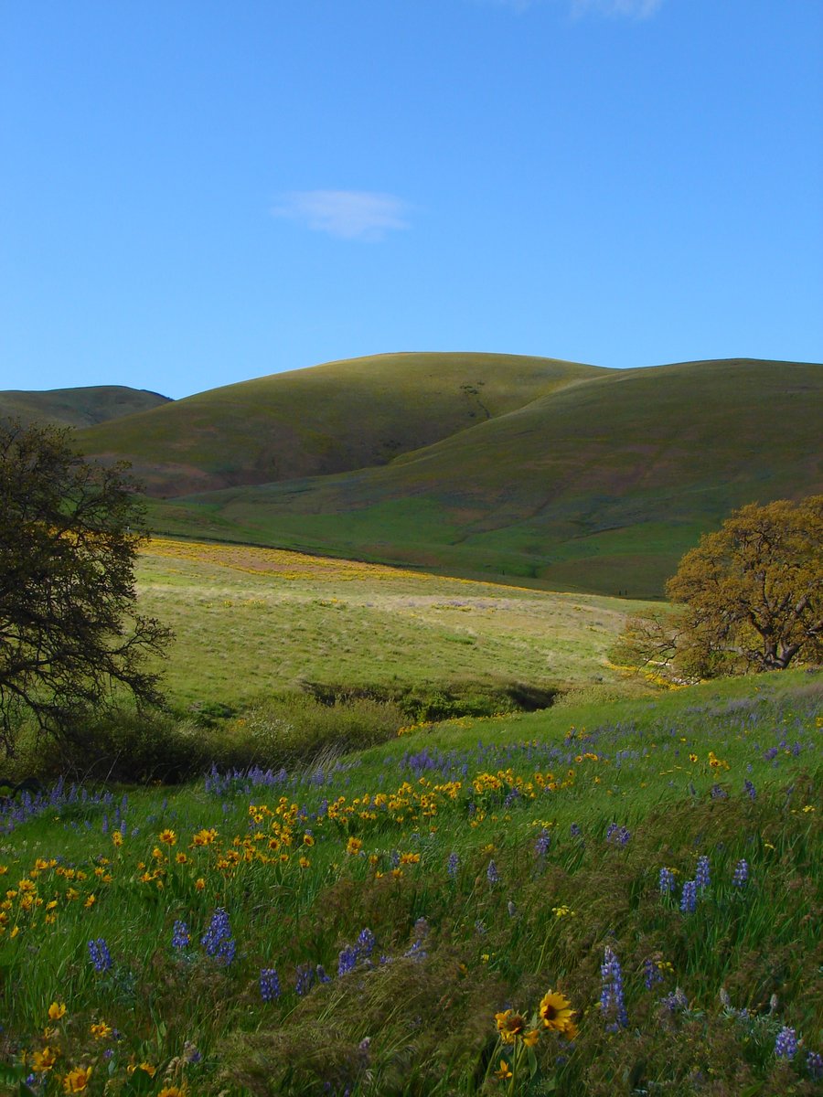
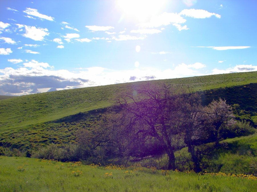
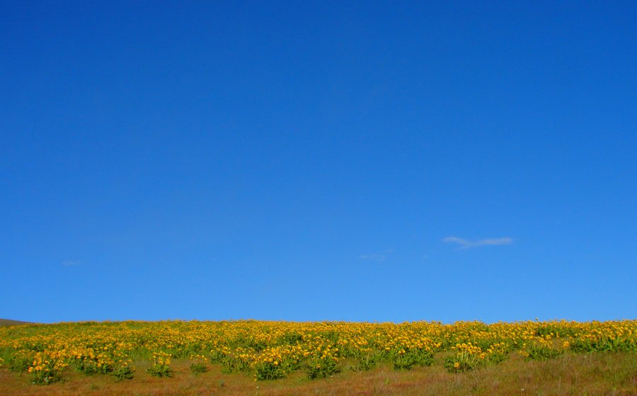
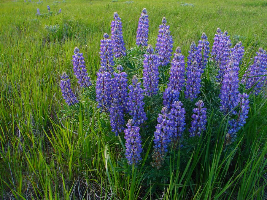
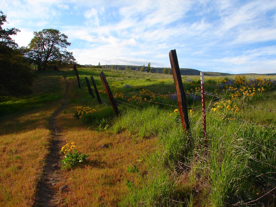
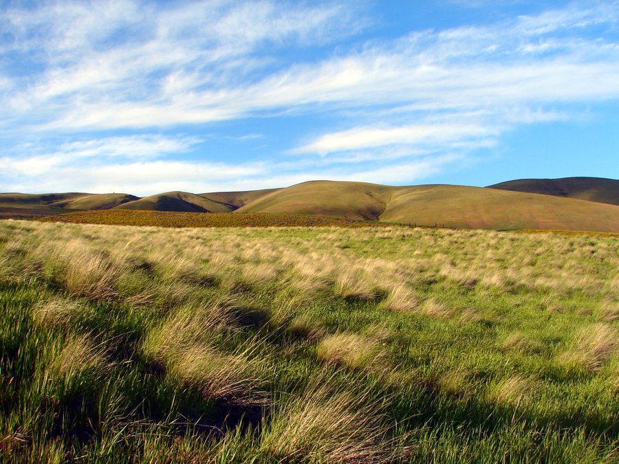
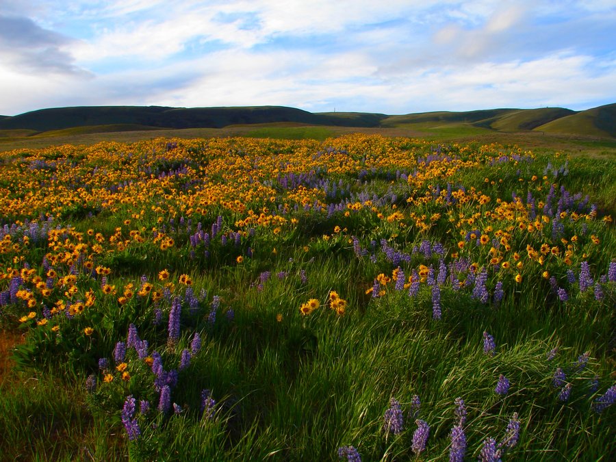
All-day wildflower ramble in the Eastern Gorge, beginning w/ Mitchell Point trail. A ew hike to me, interesting flowers included Fairy Slippers, Howell's brodeia, lots of Desert Parsley. Next was another new hike to me, Mosier Plateau. Arrived at same time as a large Friends of the Gorge group. Interesting flowers included lots of lupine, balsamroot, Bachelor Buttons, Vetch. Nice chat w/ Renee(?) from Friends of the Gorge. Awesome views up here! Up next, McCall Point from Rowena Crest. Lots of flowers, lots of people too. Steve and I detoured off the main trail on some side trails, along w/ a quick excursion to a great meadow beyond the normal turnaround point. Talked w/ a Nature Conservancy volunteer about the flower show and verified we had indeed been seeing "Wild Cucumber". Back on the road, Steve spotted 2 ticks on him, which he threw out the window. Next was a quick stop @ McDonalds for some trail "food" and we continued on to Dalles Mountain Ranch. Saw more flowers there than I have ever seen. Phenomenal fields. Clouds obscured the top of Mt Hood, but it didn't really matter. Spotted a marmot, western bluebirds and meadowlarks, too.
April 26, 2014

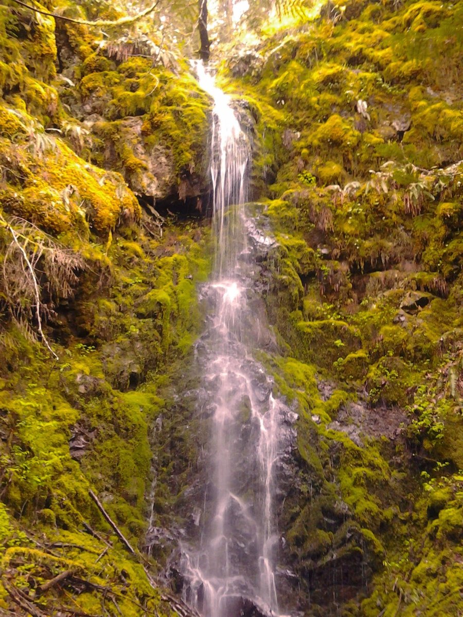
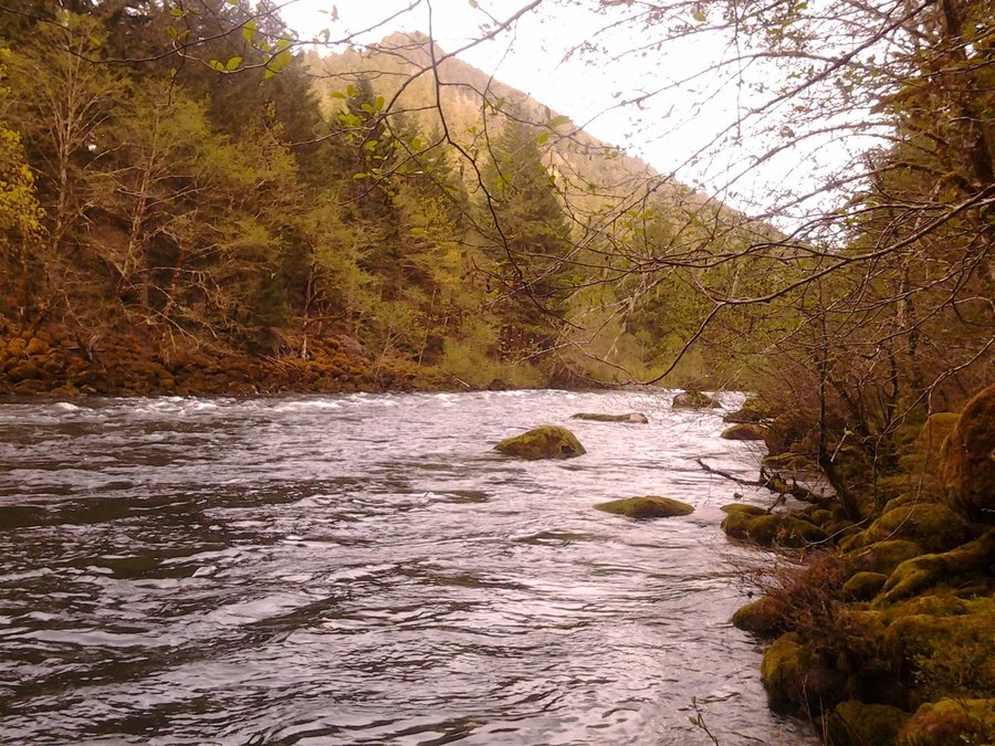
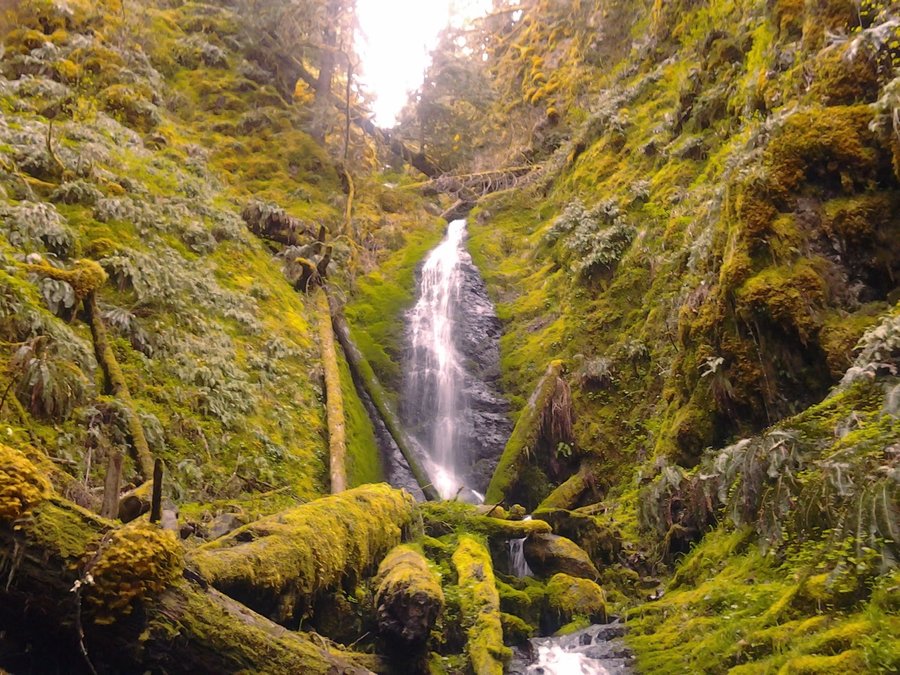
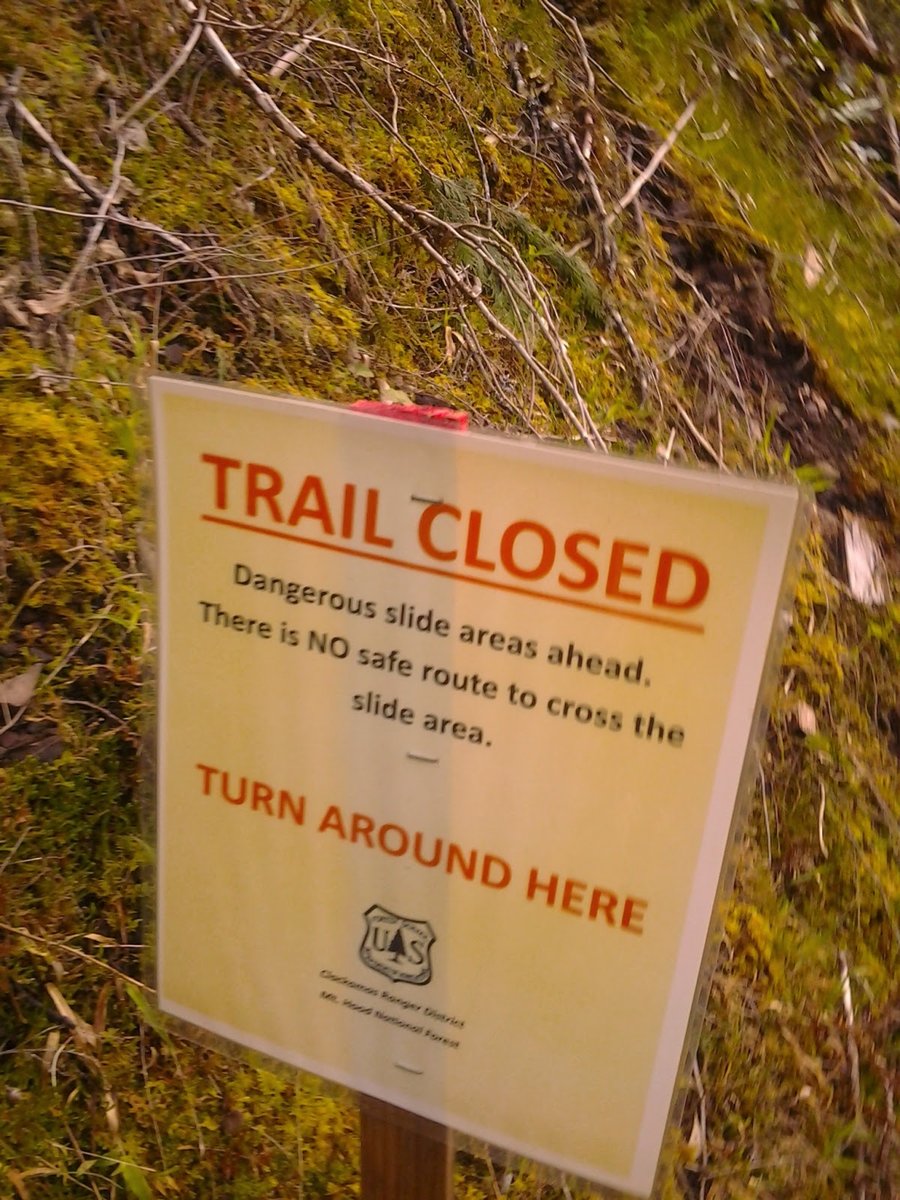
Clackamas River Trail
6.5 miles of hiking • 500' elevation gain •
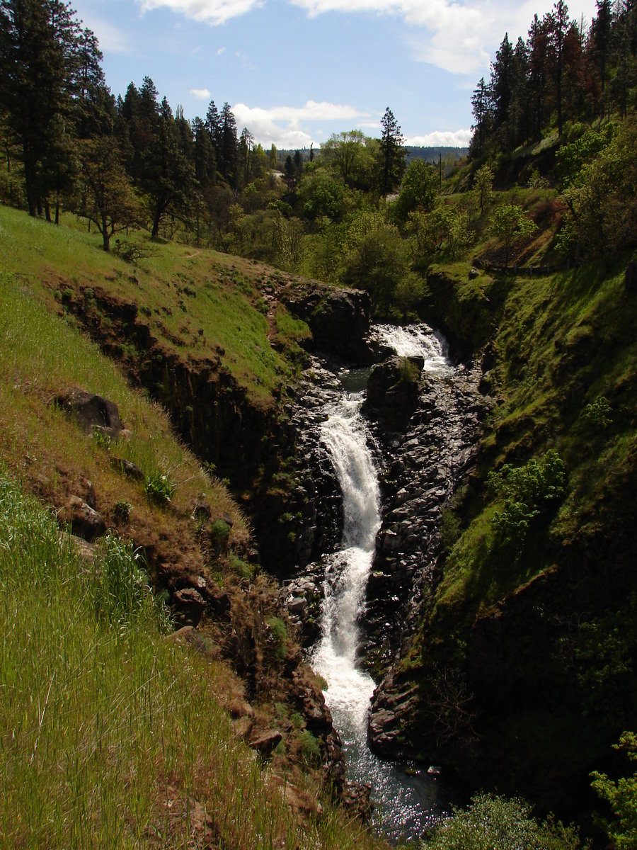
After work exploration of the CRT. I've never had the opportunity to do it, so decided to check it out. Made it to the trailhead at Fish Creek about 5pm and headed upstream. The trail is "Closed" at some pretty hairy washouts at mile 2. Someone has placed a helpful rope along the bank, but I wouldn't recommend crossing the washouts. They are very unstable and dangerous. I unwisely decided to continue on, but DON'T DO IT. Are you convinced yet?
I made my way beyond the closure and continued a few more miles down to a nice flat section along the river and had some snacks and wondered how far I was from Pup Creek falls. Not too far it turns out. I went up the slippery trail along the little creek to some falls that made a nice turn around point.
April 18, 2014

 1
1
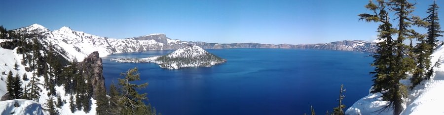
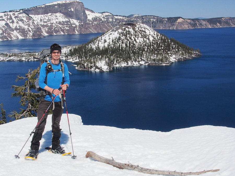
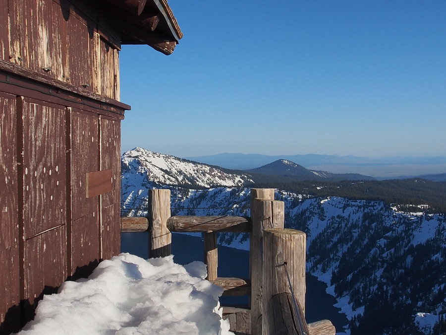
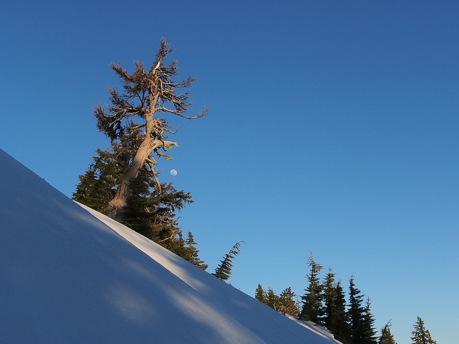
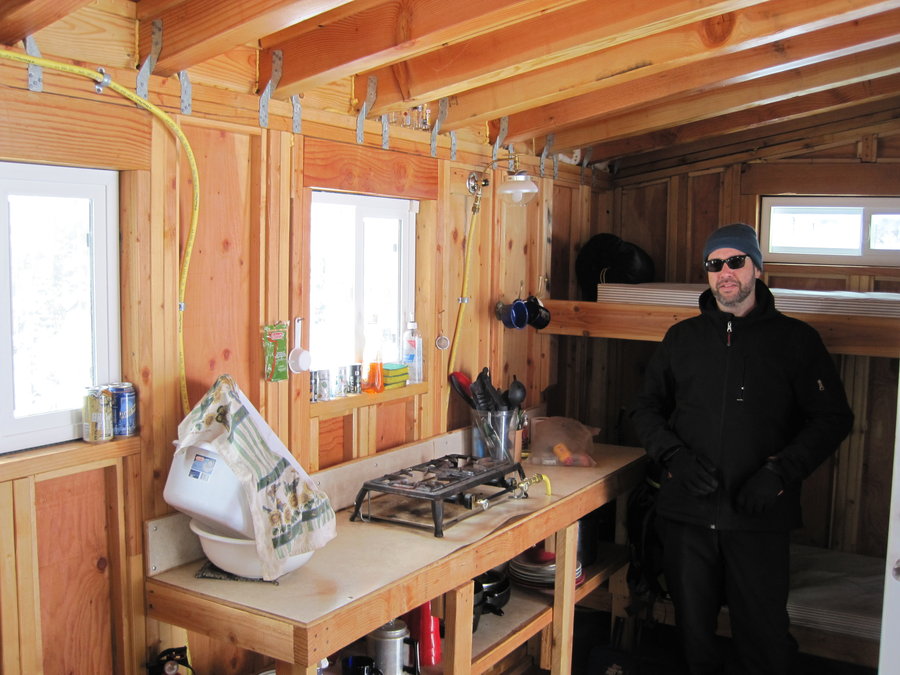
Crater Lake Snowcamp
9 miles of hiking • 1500' elevation gain • 1 night
See TR on portlandhikers.org
April 12 – April 13, 2014

 1
1
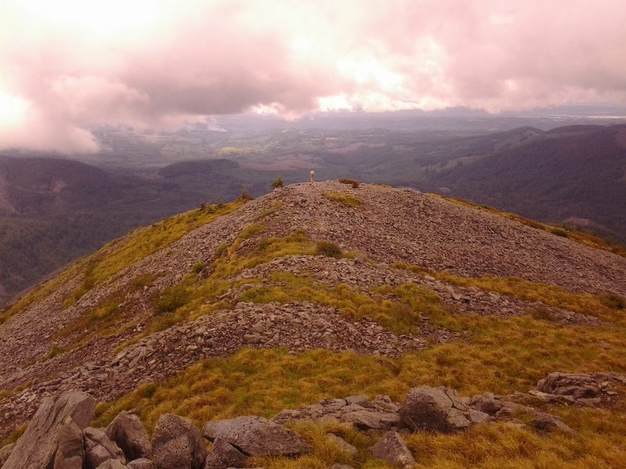
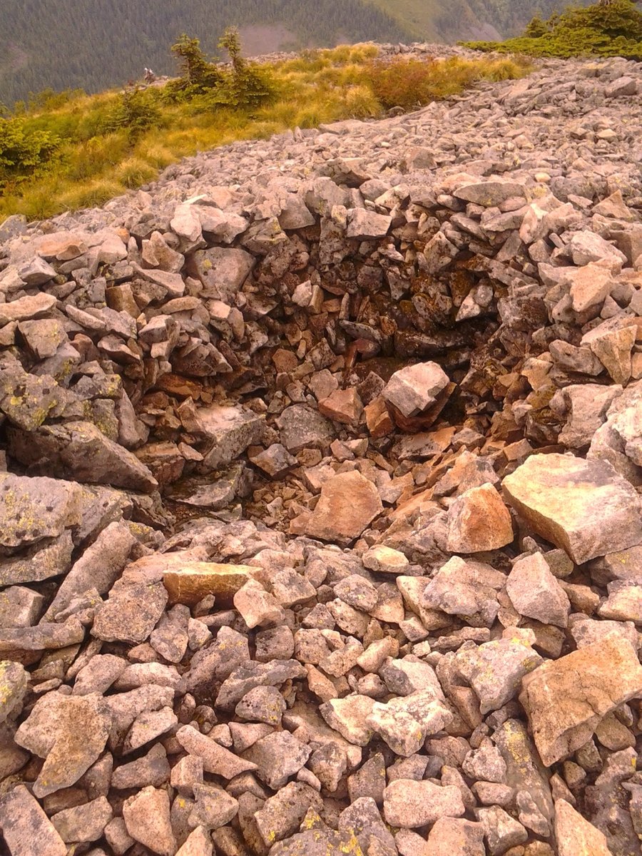
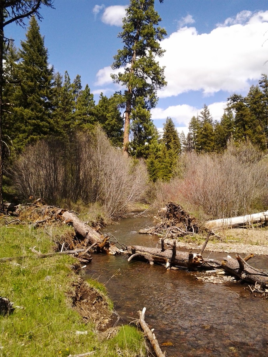
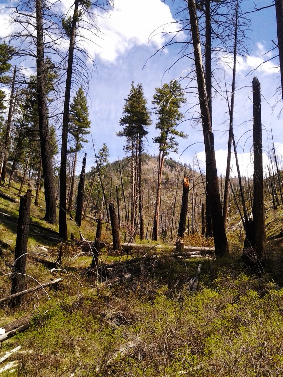
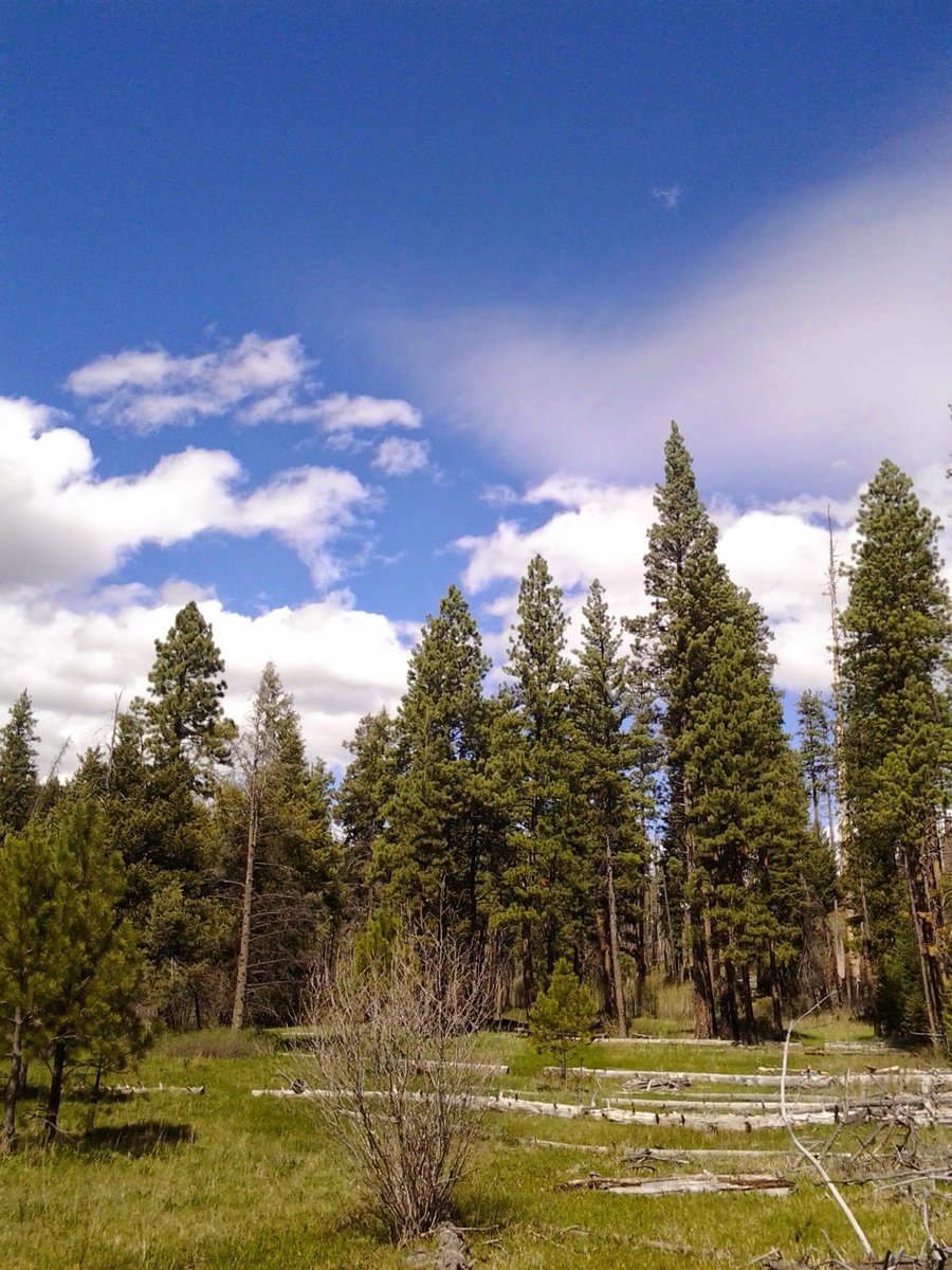
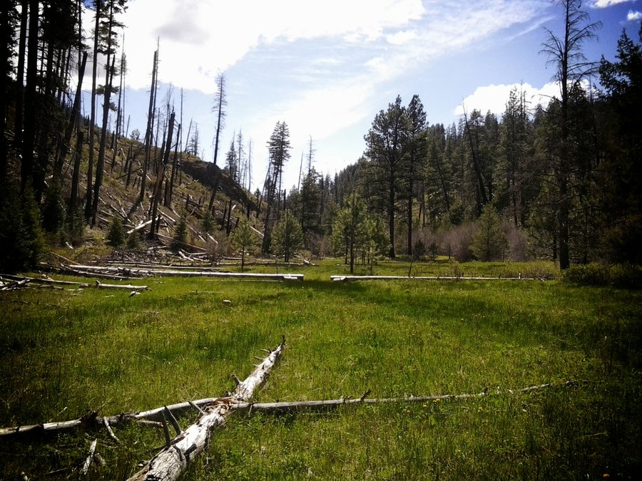
Cedar-Aldrich-Table Mountain Loop
13 miles of hiking • 4500' elevation gain •
Big loop w/ Brad. Started from the powerline TH in mist and rain, up the road to the PCT, then up Heartbreak Ridge. The vertical rockfield was pretty amazing to climb up. The summit was obscured in clouds. Down the connector to Cedar, the weather improved as the day went on. Limited views of Munra across the river. Cedar Falls was raging. Decided to tag Aldrich Butte, awesome views of the Bonneville area. Sun and puffy clouds as evening approached. Took the direct route off of Aldrich back to the trail and then to the car. Saw 2 groups of people on the trail and 2 more groups at the cars.
April 6, 2014
 3
3
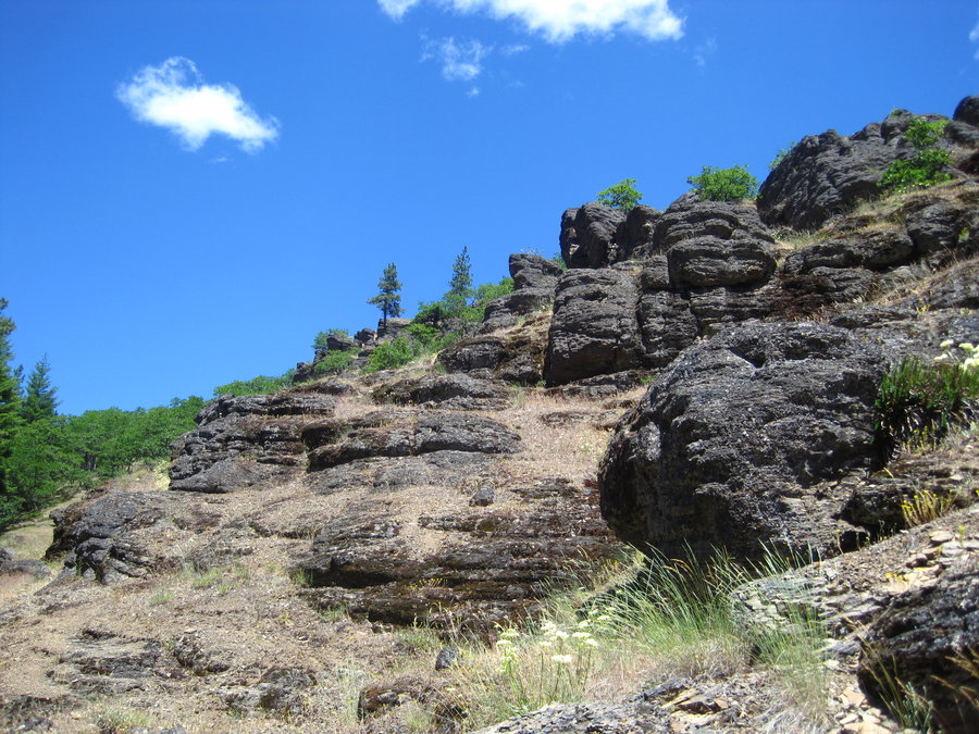
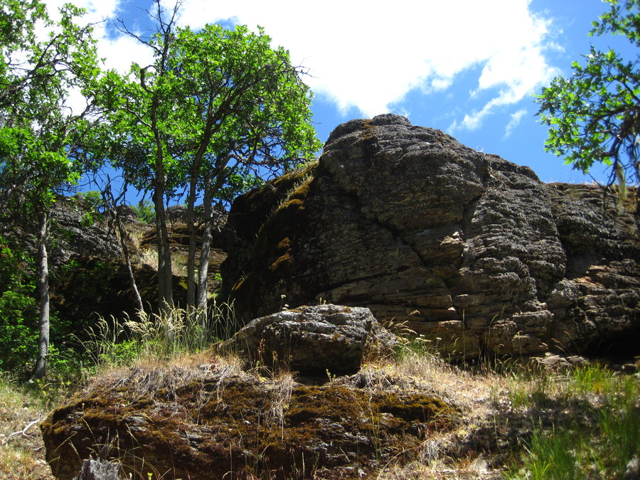
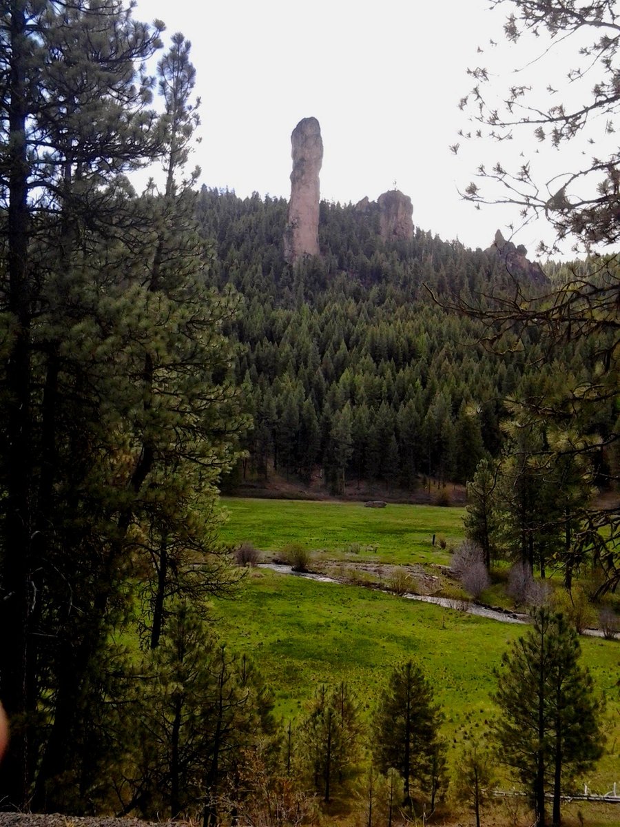
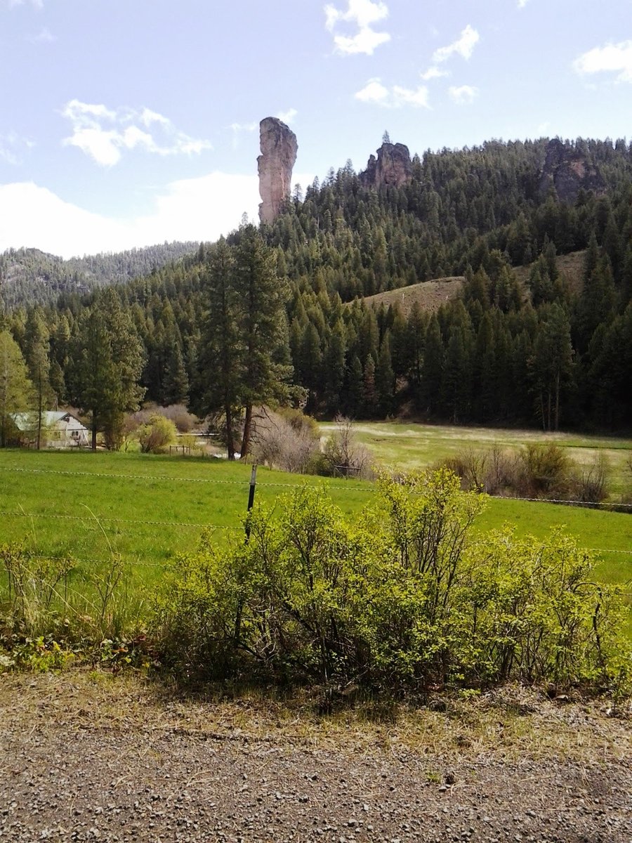
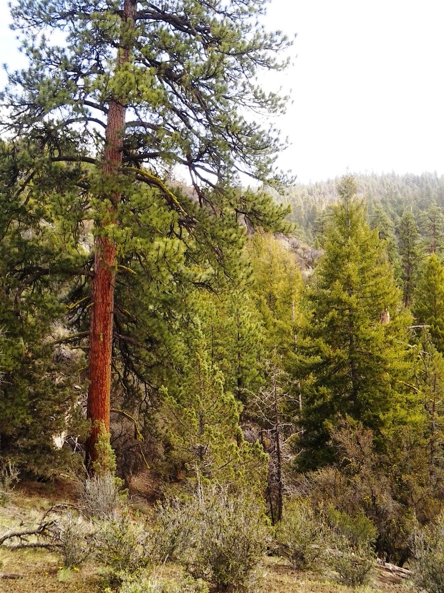
Mystery Trail, Columbia Gorge, WA
14 miles of hiking • 3500' elevation gain •
Some fun scrambles, GPS heavily needed on unmarked, unmaintained trails around sensitive areas. Great views, good weather for the most part.
March 30, 2014


Otter Bench - Lone Pine Trail
2 miles of hiking • 250' elevation gain •
Riverside Lunch-time oasis before heading back to PDX. What a beauty spot!
March 24, 2014

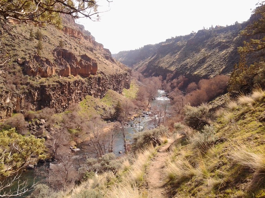
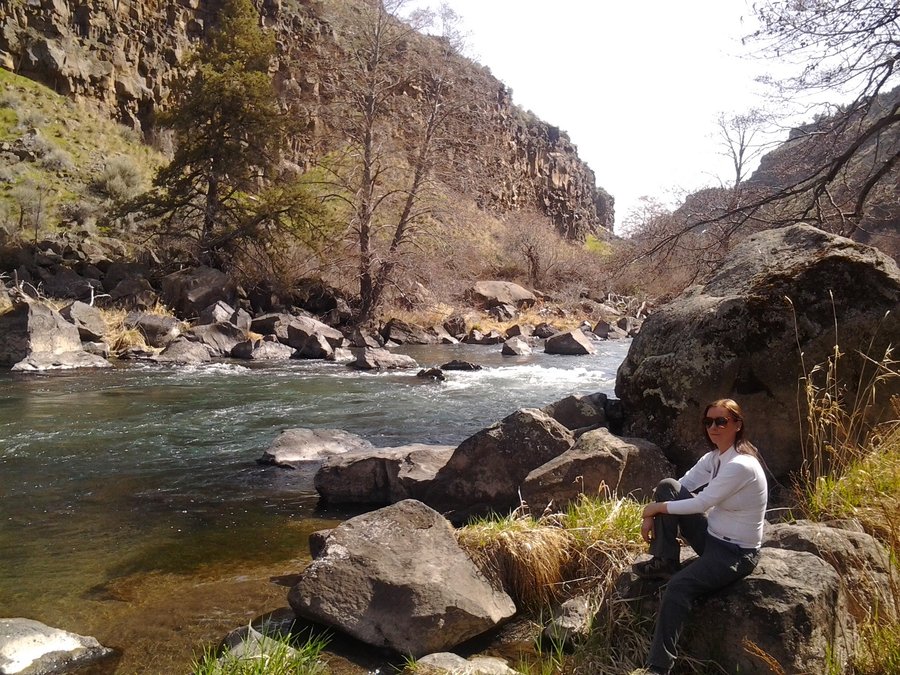
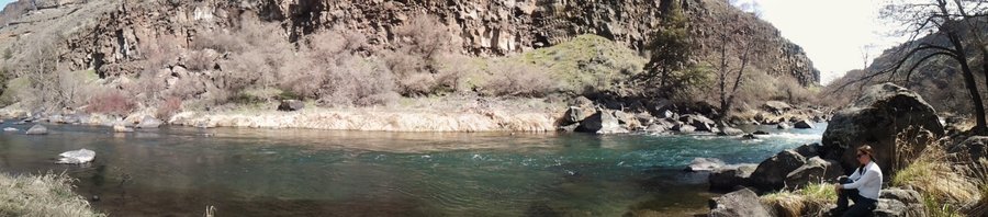
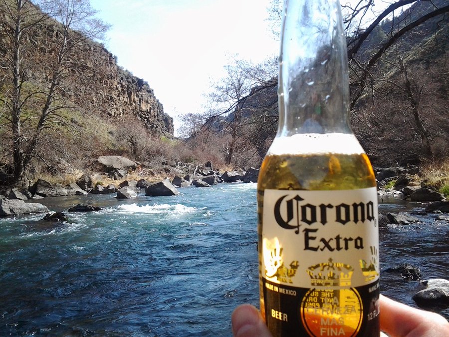
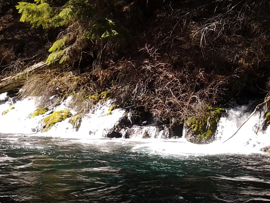
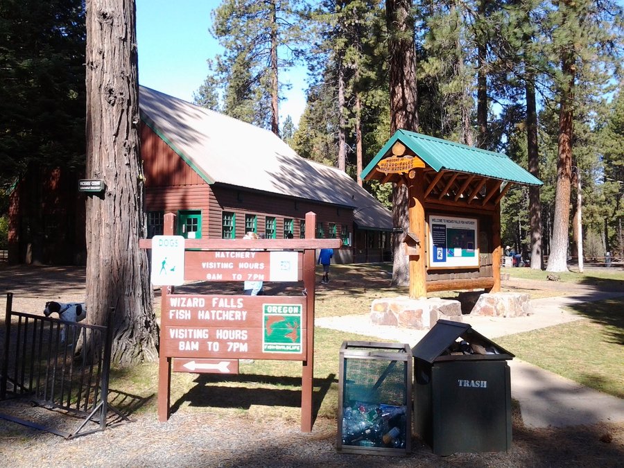
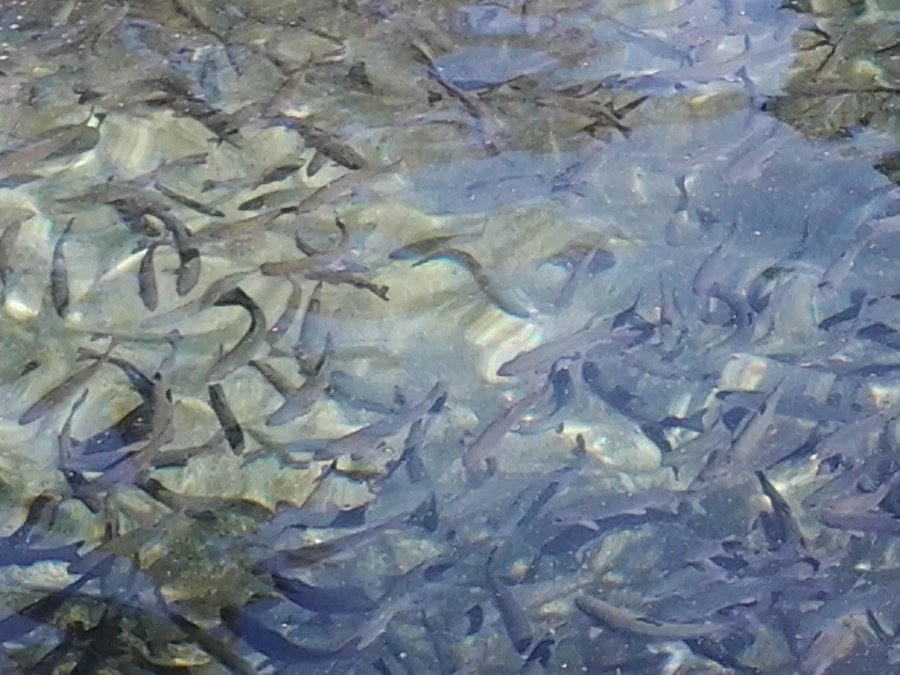
Metolius River - Canyon Creek to Wizard Falls
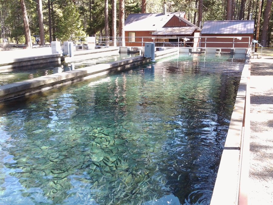
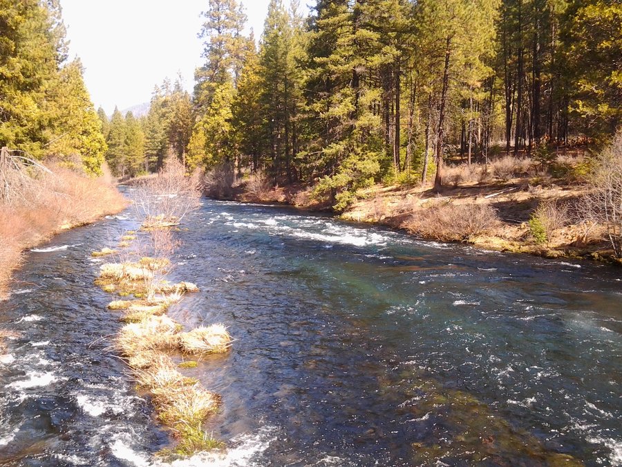
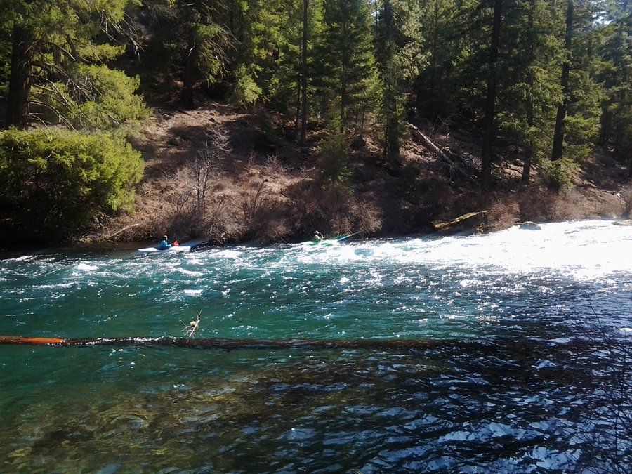
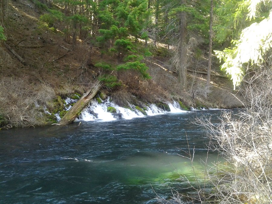
6 miles of hiking • 250' elevation gain •
Exploratory hike from Canyon Creek CG along the Metolius River on a gorgeous Spring day. Hiked 3 miles to Wizard Falls Fish Hatchery where the baby salmon are coming along nicely. Had lunch on the riverside and hiked back to the car at the campground. Continued to auto-tour the area and found more CG's and a nice viewpoint of the Cascade range. The headwaters of the Metolius is a spring gushing out of a hillside.
March 23, 2014

Wildwood Rec Area - Cascade Streamwatch Loop
2.5 miles of hiking • 0' elevation gain •
Interesting ramble through the Wildwood Rec area in Welches, OR. Nice walk along the river, and tour of day use area where cookout options abound.There is an underwater viewing window for watching fish in the fall. Beautiful spring day.
March 22, 2014

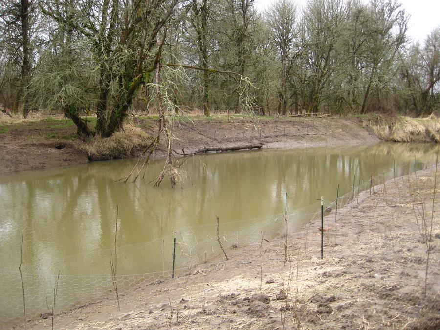
Steelhead Falls, Crooked River Ranch
1 miles of hiking • 0' elevation gain •
Quick in/out to show the wife, met up with Matt's meetup group at their campsite before heading to Eagle Crest Resort for the night.
March 22, 2014

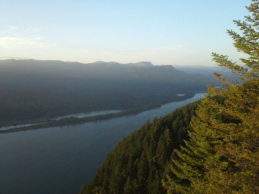
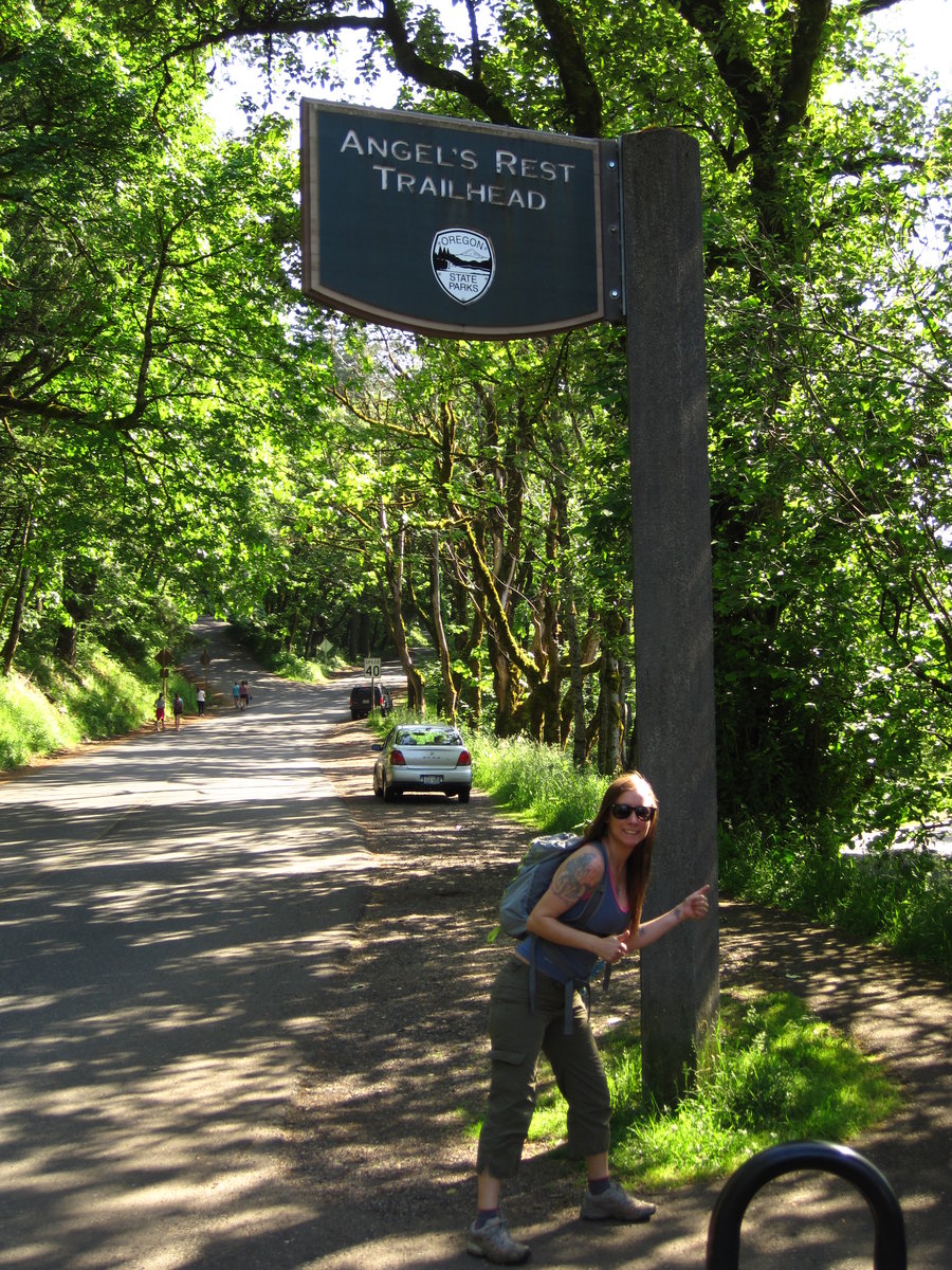
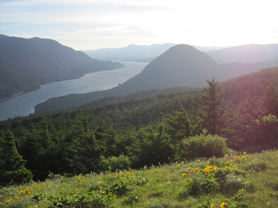
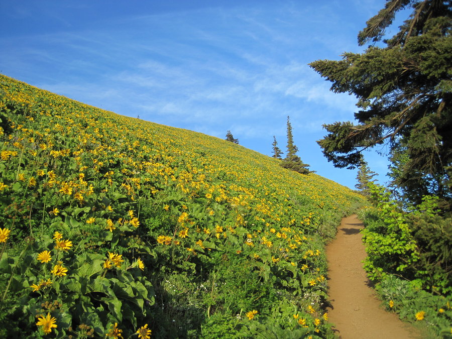
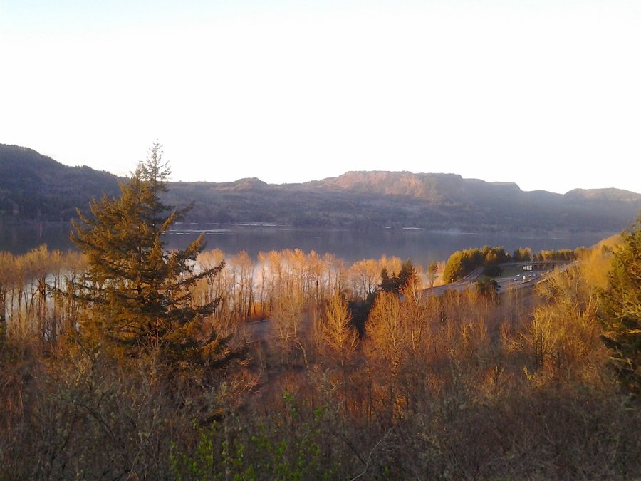
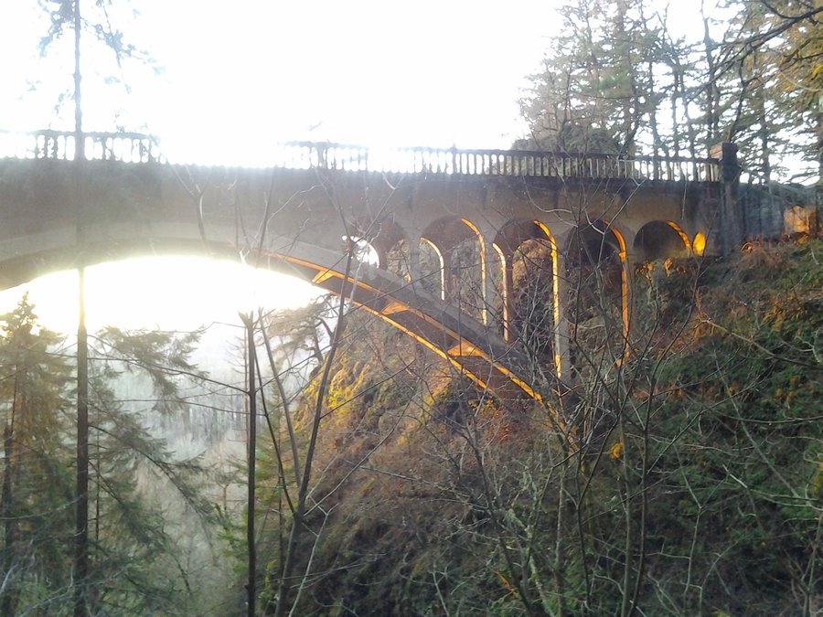
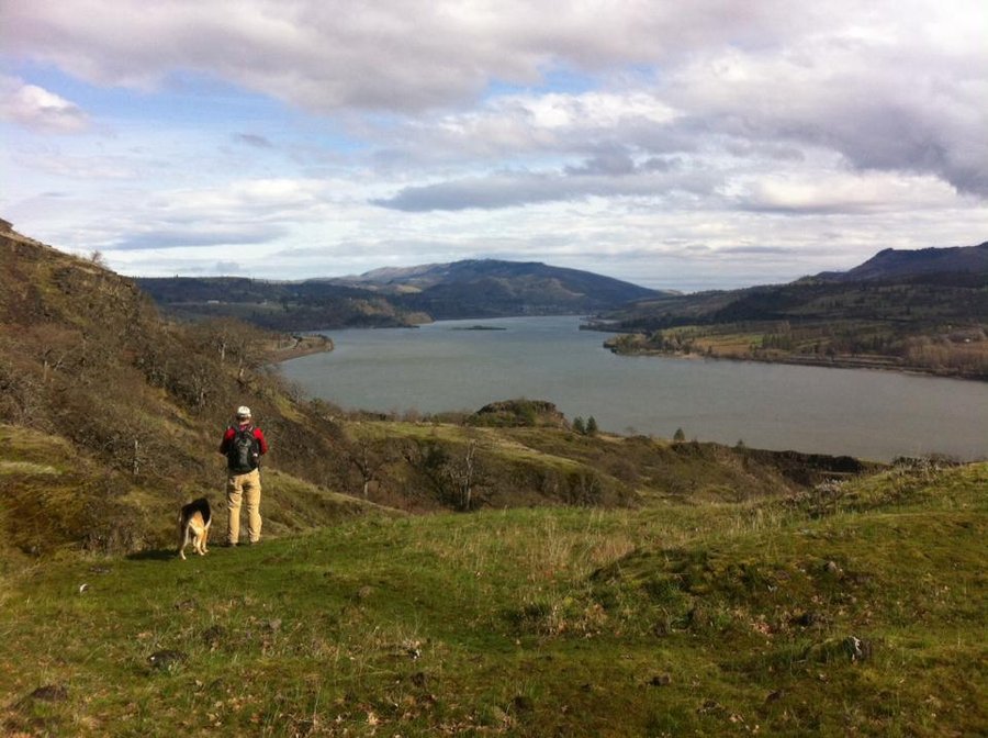
Angel's Rest- Gorge tour/ramble
6.5 miles of hiking • 1500' elevation gain •
After work trip up to Angel's Rest for the first time this year. Alot of people going up and down as well. Was there right before sunset, but came down to check out other sites as well. Drove down to Bridal Veil falls and saw the falls for maybe the first time (I can't remember) and then walked the viewpoint trails overlooking the Columbia for sunset. Then on to Shepperd's Dell with a new appreciation after reading Tom Kloster's report on his blog: http://wyeastblog.org/ The sun was setting right through the arch in the bridge. Next, I went up to Crown Point where there was a crowd dispersing just past sunset. It's good to back to familiar places when you haven't been in awhile.
March 21, 2014

 1
1
Huckleberry Mountain via Boulder Ridge
12 miles of hiking • 3250' elevation gain •
Took a beautiful Saturday morning to go through an area I've never hiked before. Started from Wildwood Rec Area gate at 9am. Walked into the rec area through nice woods and the rushing Salmon River. Began hiking up Boulder Ridge trail and gaining elevation immediately. Several nice views on the way up, but the payoff was near the summit on a saddle around 4200'. Great views NE to Mount Hood, ZigZag Mtn, Hunchback Mtn, Lolo Pass, etc. Very little snow until near the summit, but it was easily walkable. Great trip with some new people.
March 15, 2014

.jpg)
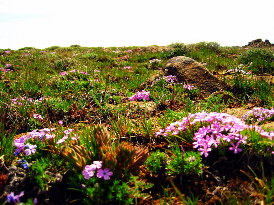
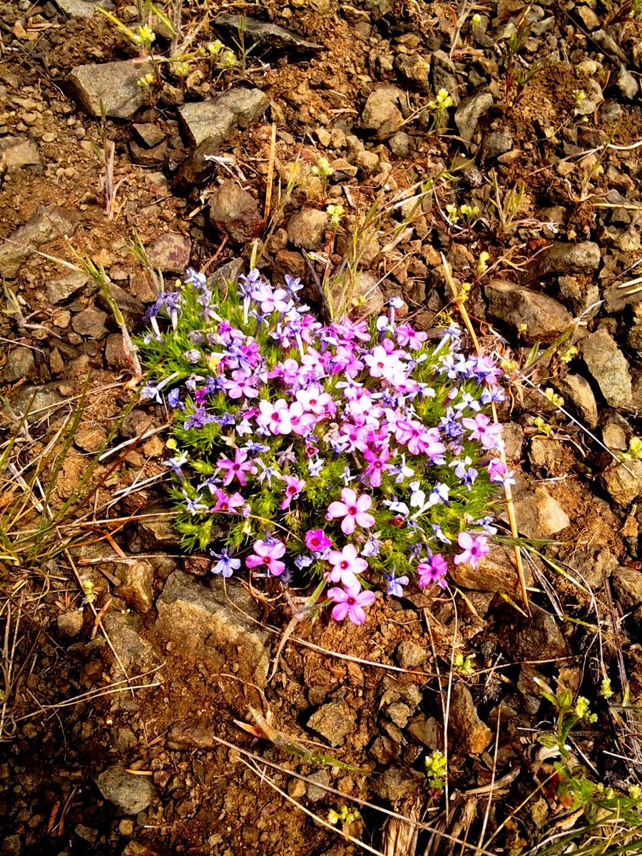
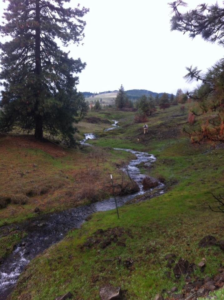
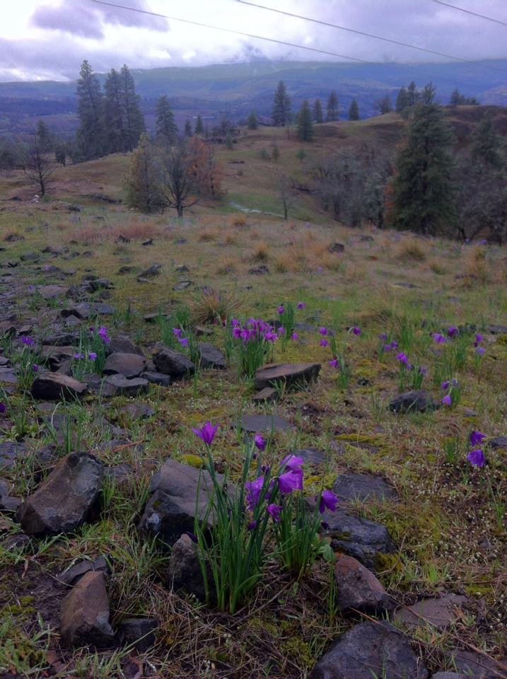
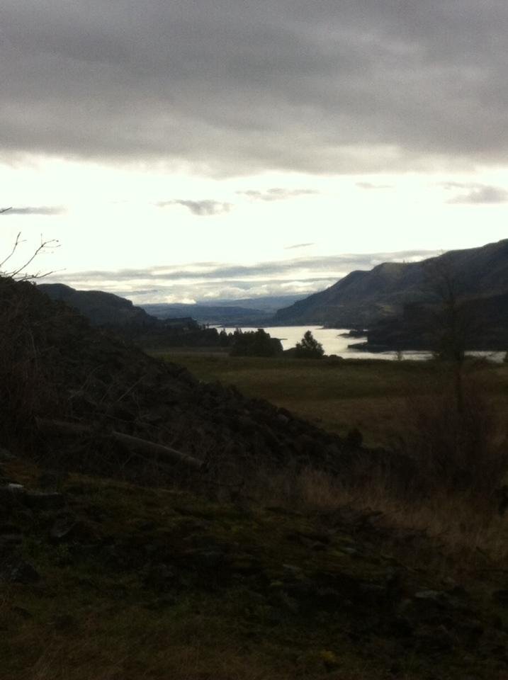
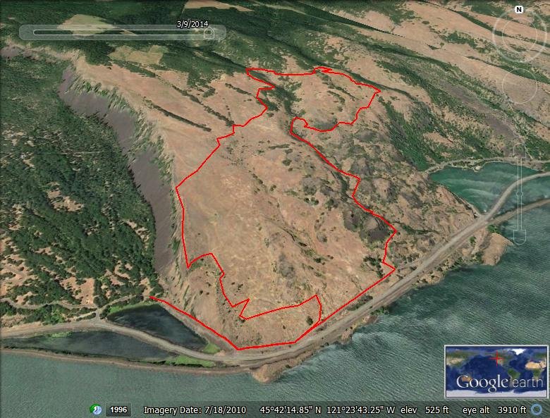
Labyrinth Loop/Catherine Creek
9.5 miles of hiking • 2250' elevation gain •
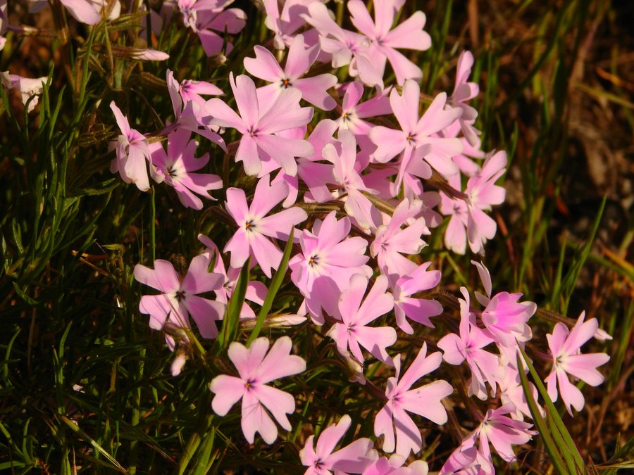
First up, Catherine Creek and the blooming Grass Widows. Up to the arch and up the road, over the ridge top and followed a faint double track back down the ridge to Hwy 8. Quick trip back to the parking area along the Hwy and then the lower loop for some birds and more flowers. Next, took a sidetrip out to Cascade Cliffs winery for a quick taste, then back to Coyote Wall area for a Labyrinth Loop. Many new trail updgrades, reroutes, closures.
http://caltopo.com/map?id=1R44
March 9, 2014


Maiden Peak Snowshoe
20 miles of hiking • 4250' elevation gain • 2 nights
See TR on Portlandhikers.org
http://www.portlandhikers.org/forum/viewtopic.php?f=8&t=18224
February 21 – February 23, 2014

Twin Lakes Loop Snowshoe
5.5 miles of hiking • 750' elevation gain •
About 1 inch of powder on top of 8-10 inches of hardpack. Pretty easy to just hike on top of the snow on trail w/o snowshoes. Did some offtrail near the lakes which required the snowshoes. Nice day, pleasant hike.
February 16, 2014

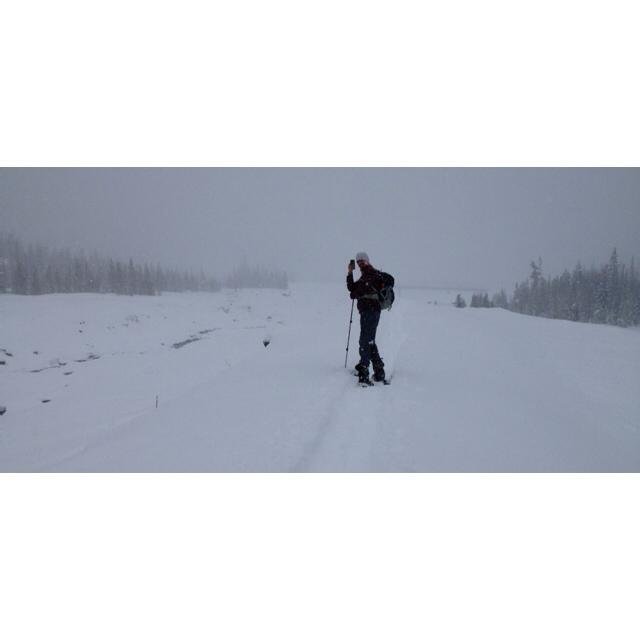
White River Snowshoe
3 miles of hiking • 750' elevation gain •
Took an old buddy out for his first snowshoe. So much powder I had to use the tails for my snowshoes! Views of the mountain early, then it closed in and began snowing pretty good. Only saw one other person on the trail, we were the only car when we arrived.
February 7, 2014

 1
1
Barlow Ridge Snowshoe
9.5 miles of hiking • 1250' elevation gain • 1 night
Overnight snowshoe to Cascade Huts near Barlow Butte. Perfect conditions, fresh snow, wonderful views.
February 1 – February 2, 2014


Elk and Kings Mountain
11.5 miles of hiking • 3750' elevation gain •
Gorgeous winter day, started out @ 9am at the gated road. 25 degrees at the start of the hike and by the time we reached the summit of Kings 4 hours later it was near 60. Very slow going initially due to steepness of the trail. Loved every minute of it! Good company w/ Rich & Bhaskar. High tailed-it home in time for a party in the evening.
January 25, 2014

Tryon Creek ramble
6 miles of hiking • 500' elevation gain •
Several interconnecting loops around the park w/ a Meetup Group. Nice day for hiking, even though the forecast for the Cascades was bad.
January 12, 2014

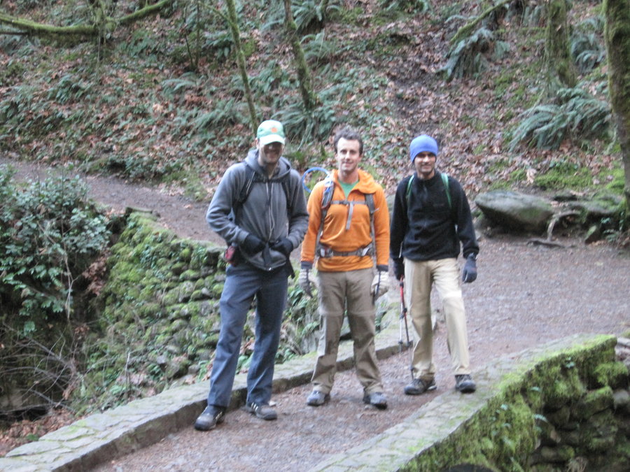
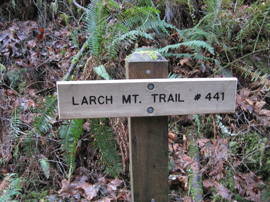
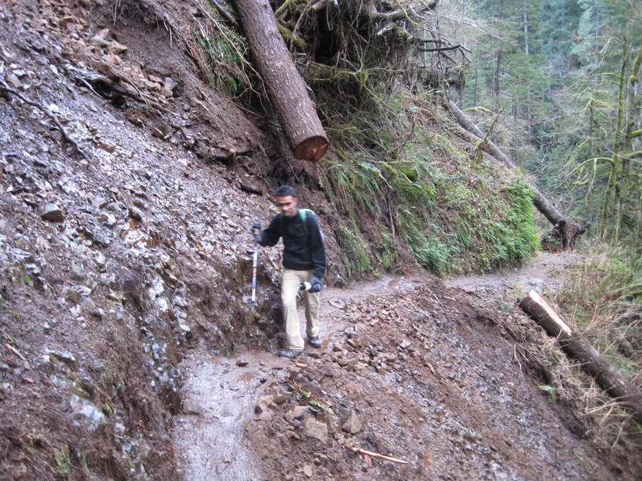
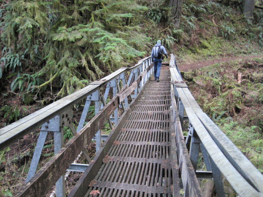
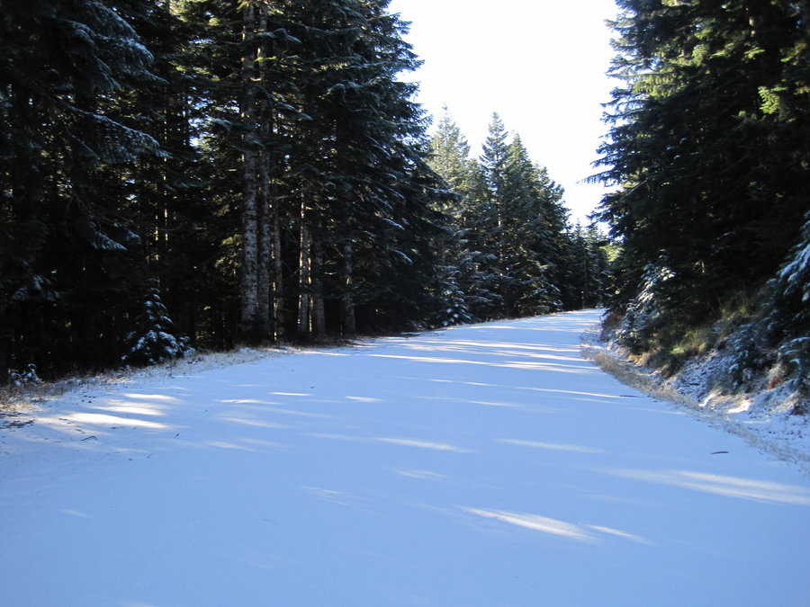
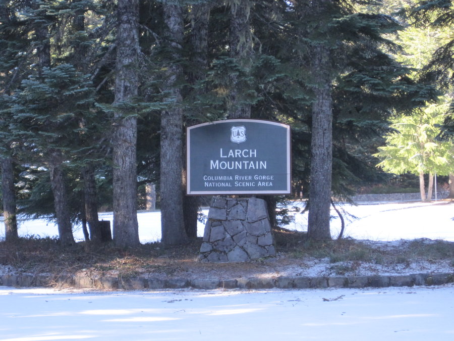
Larch Mountain
17 miles of hiking • 5000' elevation gain •
Great day for my first hike up to Larch Mountain. It just isn't as satisfying to go there in a car! Awesome views, good trail conditions and good company made for an enjoyable day. Began at Multnomah Falls, and used every sliver of daylight to complete a loop around the crater and a return along Wahkeena Falls.
January 4, 2014

Scout Camp Loop
2.5 miles of hiking • 750' elevation gain •
New Years Day hike down the the edge of the Deschutes River. Great weather and scenery.
January 1, 2014
