

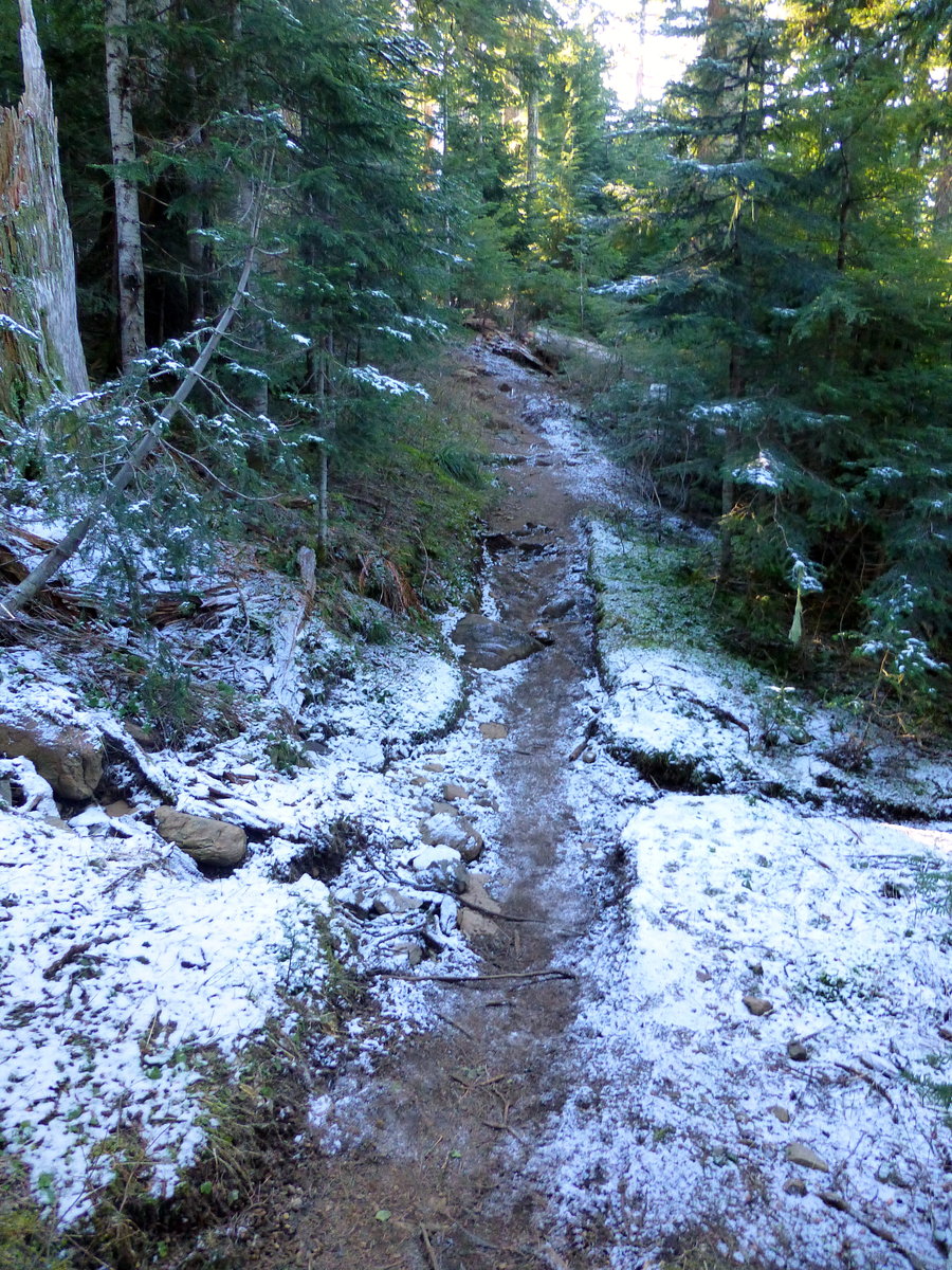
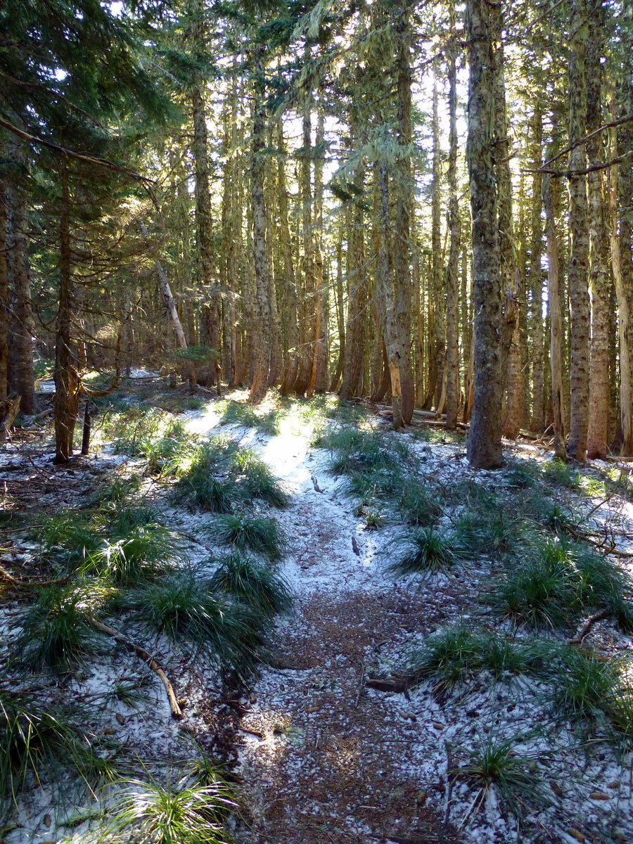
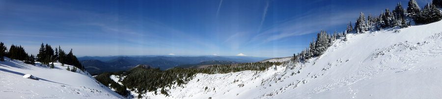
12 miles of hiking • 2250' elevation gain •
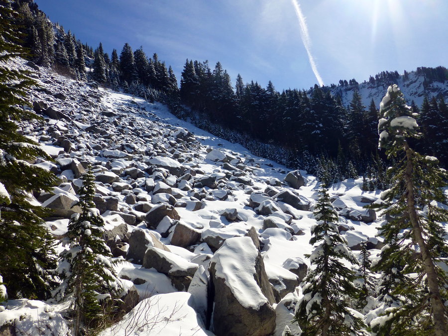
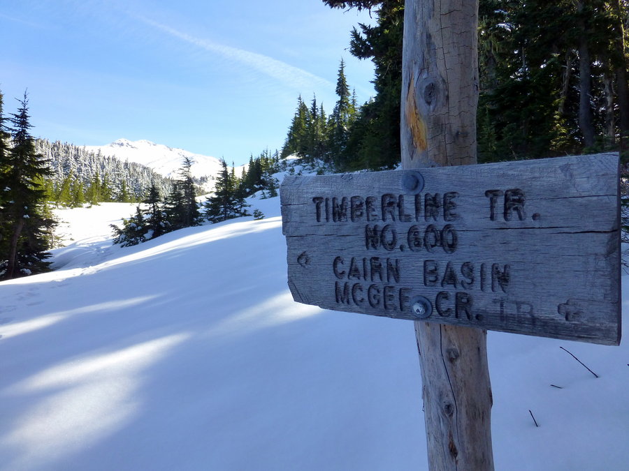
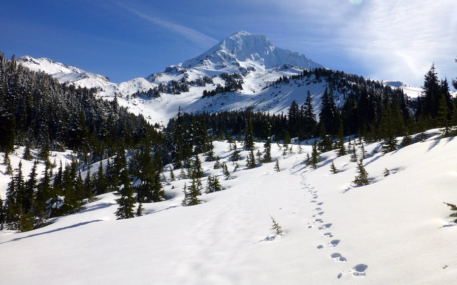
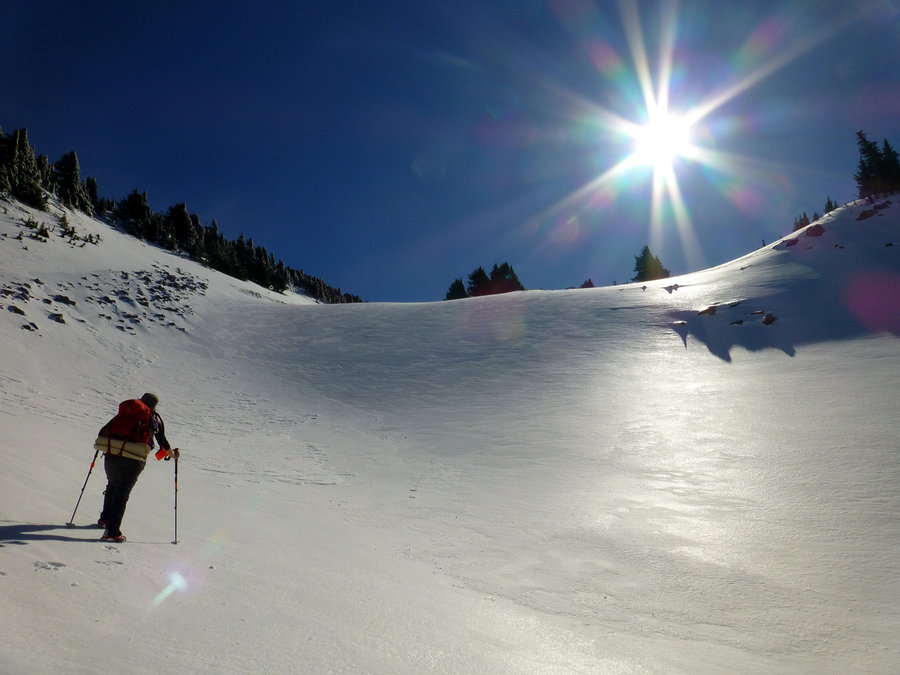
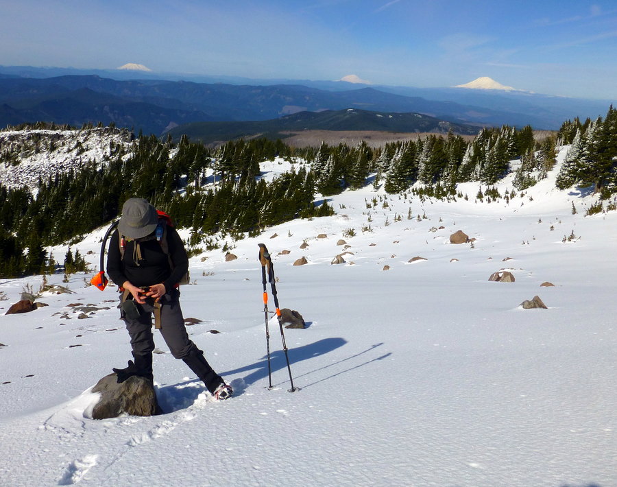
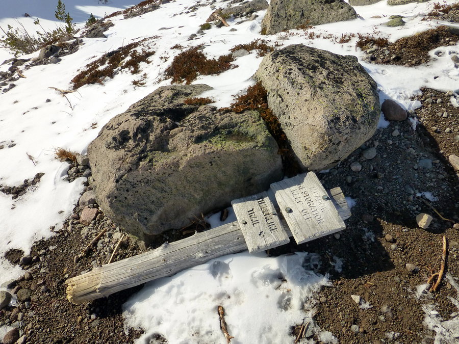
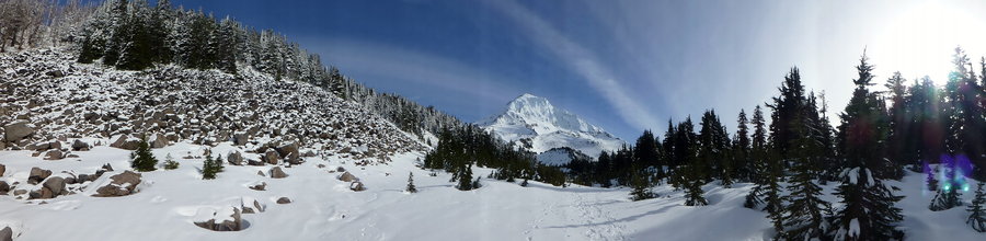
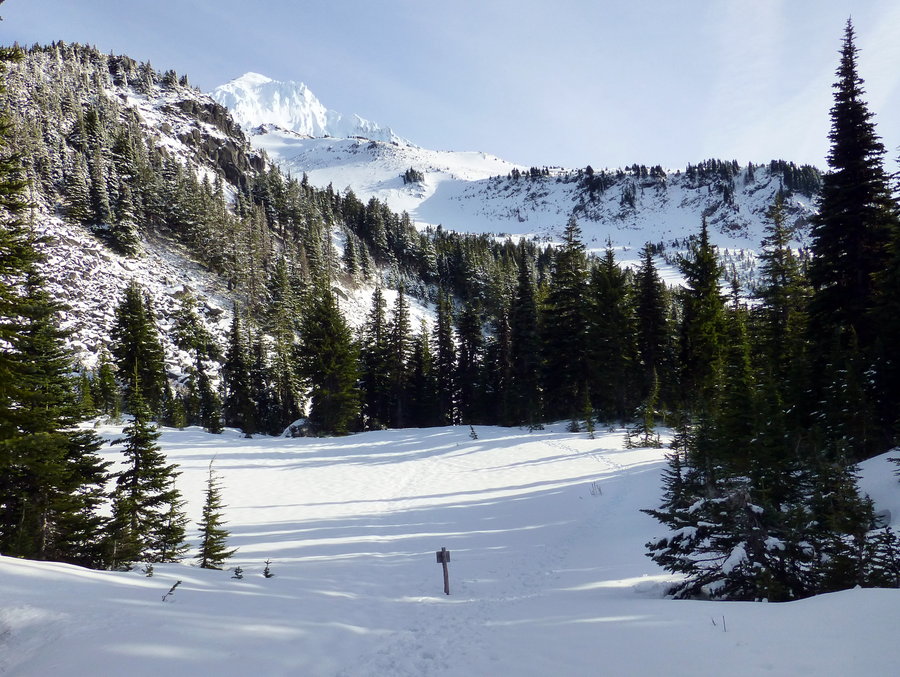
Ventured out to McNeil Pt - no snow on the road the whole way to Top Spur. A lot of people out heading up to the snow caves - they took the climbers route, but my friend and I are still nursing knee injuries, so we took the classic, longer way. Made it within 1/4 mile from the Point (even heard other hikers chatting), but the final traverse was just too exposed and sketchy, so we turned back. Proceeded to accidentally descend via the Mazamas trail, but caught our mistake pretty quickly, and ventured back to the Timberline trail, hence the slightly added mileage.


Comments

JM
March 12, 2015
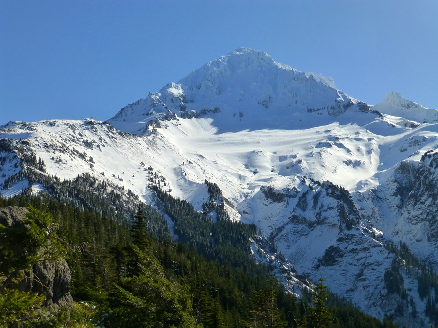
Nice pics! That one of hood from Bald mt is top notch.

Elsie
March 16, 2015
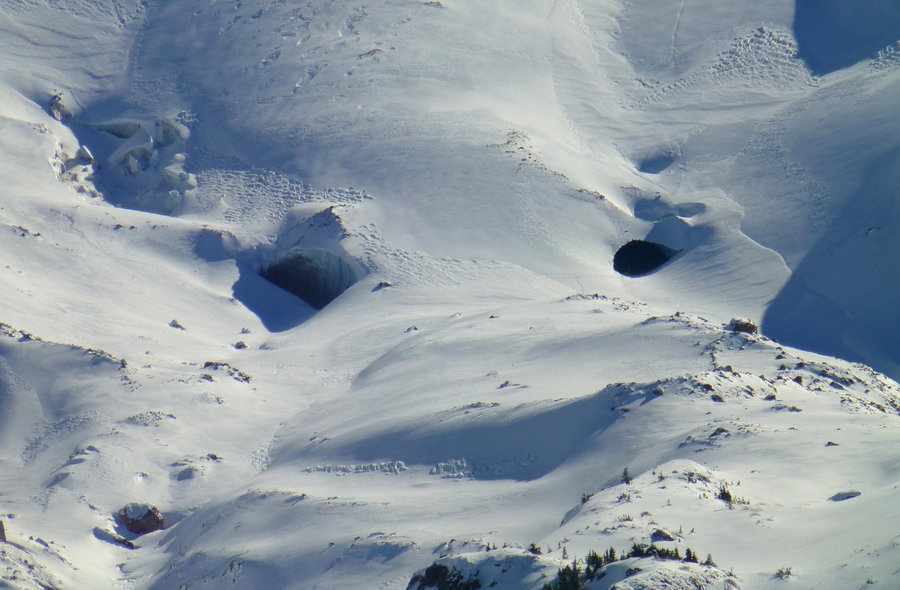
Thanks, both! (Sorry this is so delayed.) Yeah, it was crazy to hear about the collapse - I guess the guy who is doing ongoing documenting of the caves knew they would eventually collapse, but not for an estimated 15-20 years!
Karl
March 7, 2015
Beautiful photos! The cave collapse(s?) are pretty dramatic. Surprised, actually, at the amount of snow up there.