

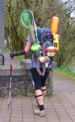
2014 Trips


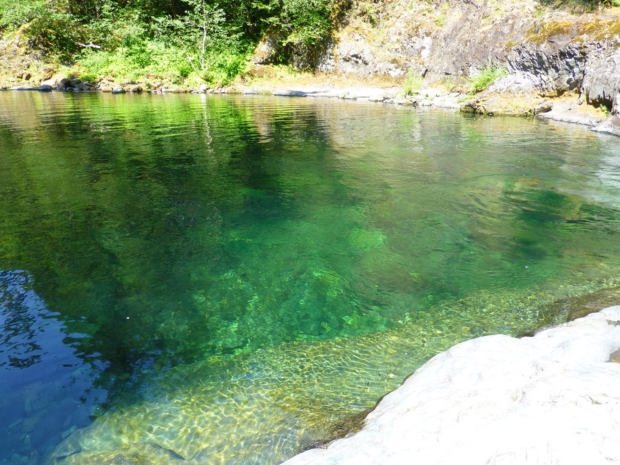
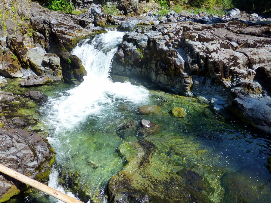
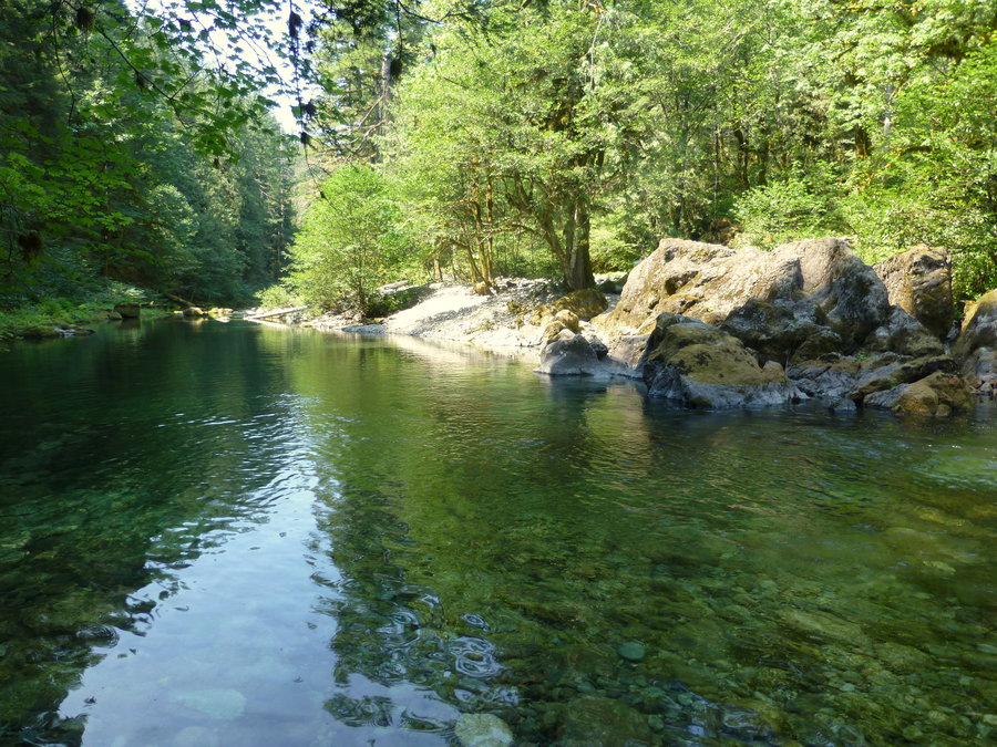
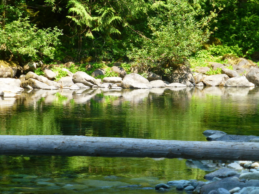
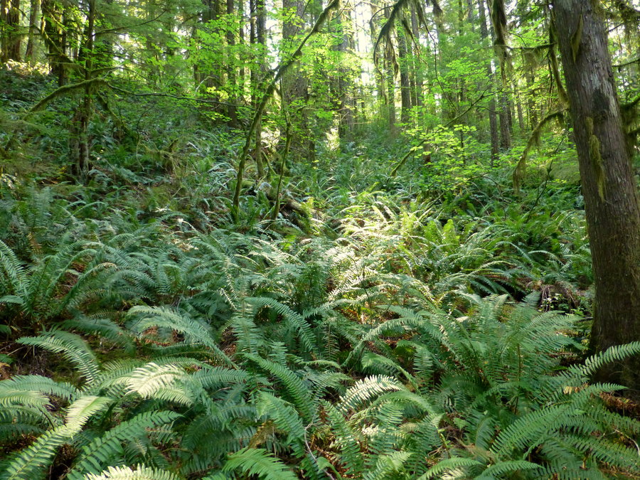
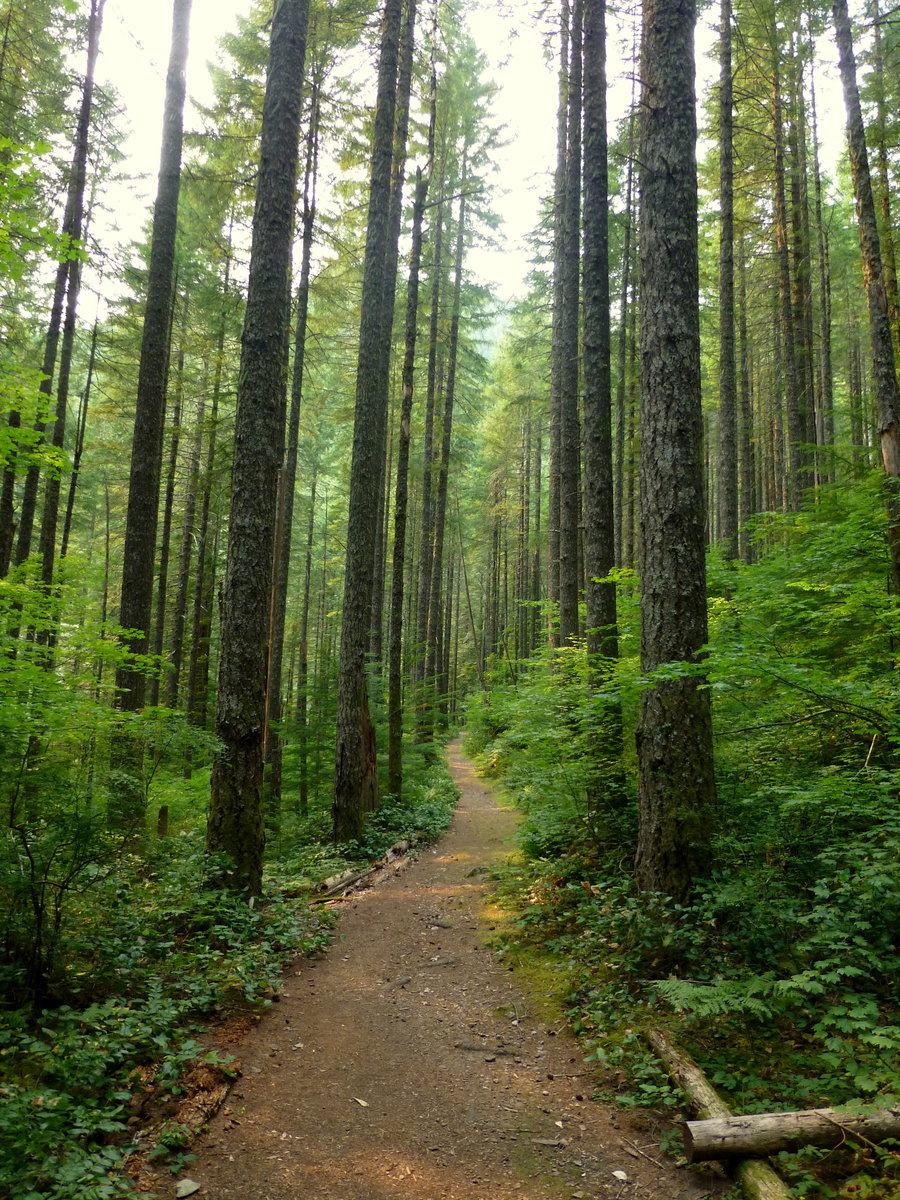
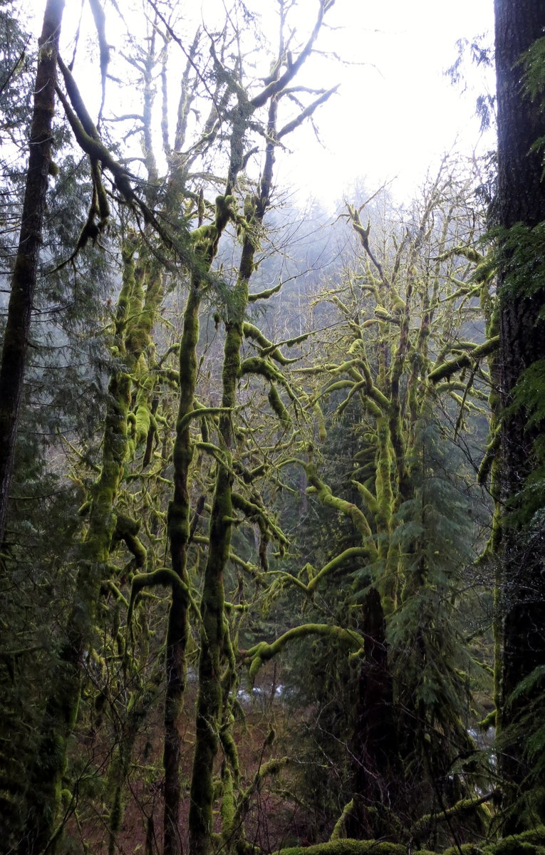
N. Fork Little Santiam River
6.5 miles of hiking • 750' elevation gain •
Seems a shame to spend lovely summer days on a low-elevation, treeful and mountainless trail....but still nursing the bum knee, so flat hikes it is. All I can say is that I found my new go-to swimming hole spot - swimming pool after swimming pool in crystal waters on a hot sunday...and NO ONE ELSE OUT THERE! Score.

August 3, 2014


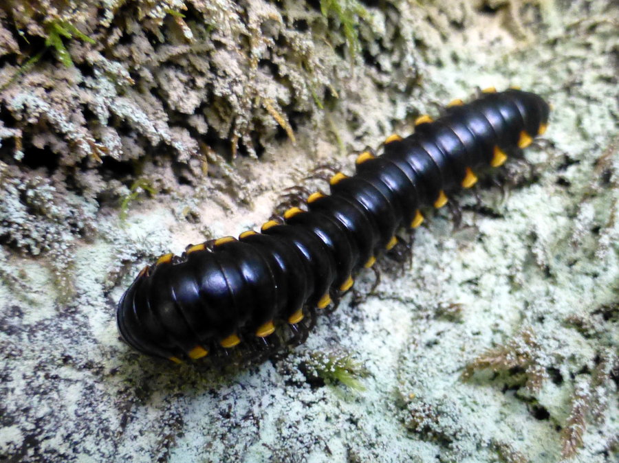

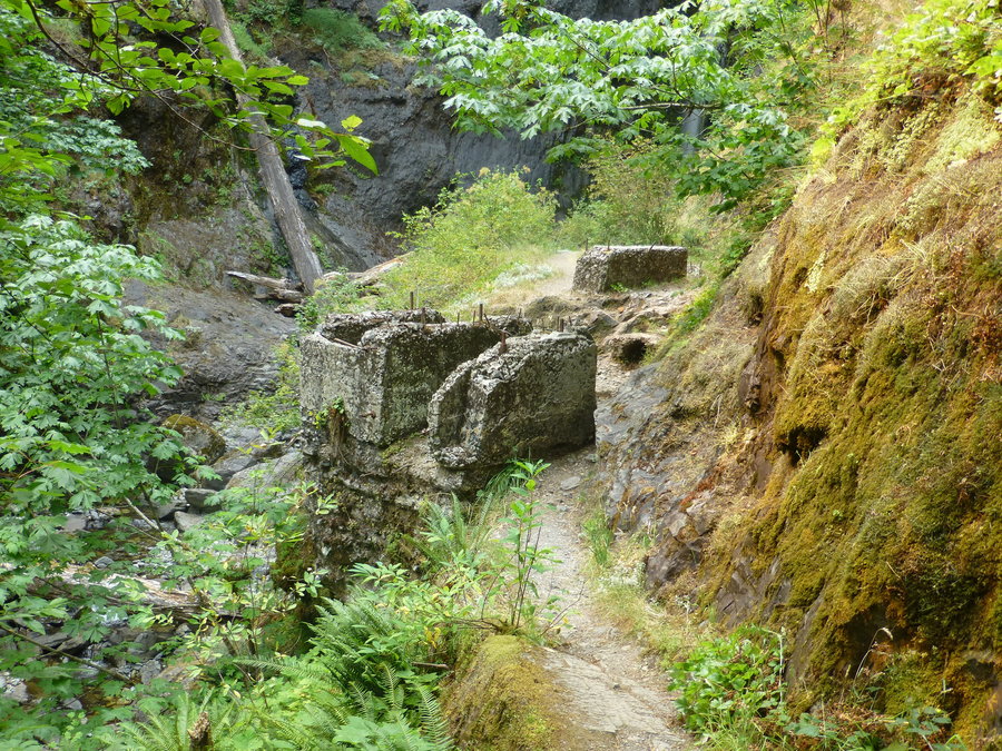
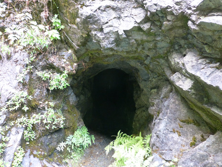
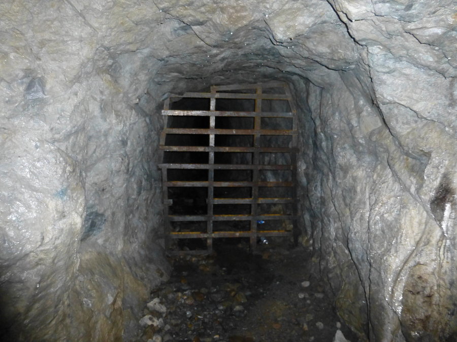
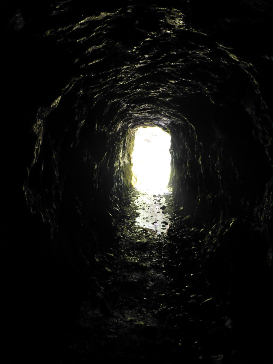
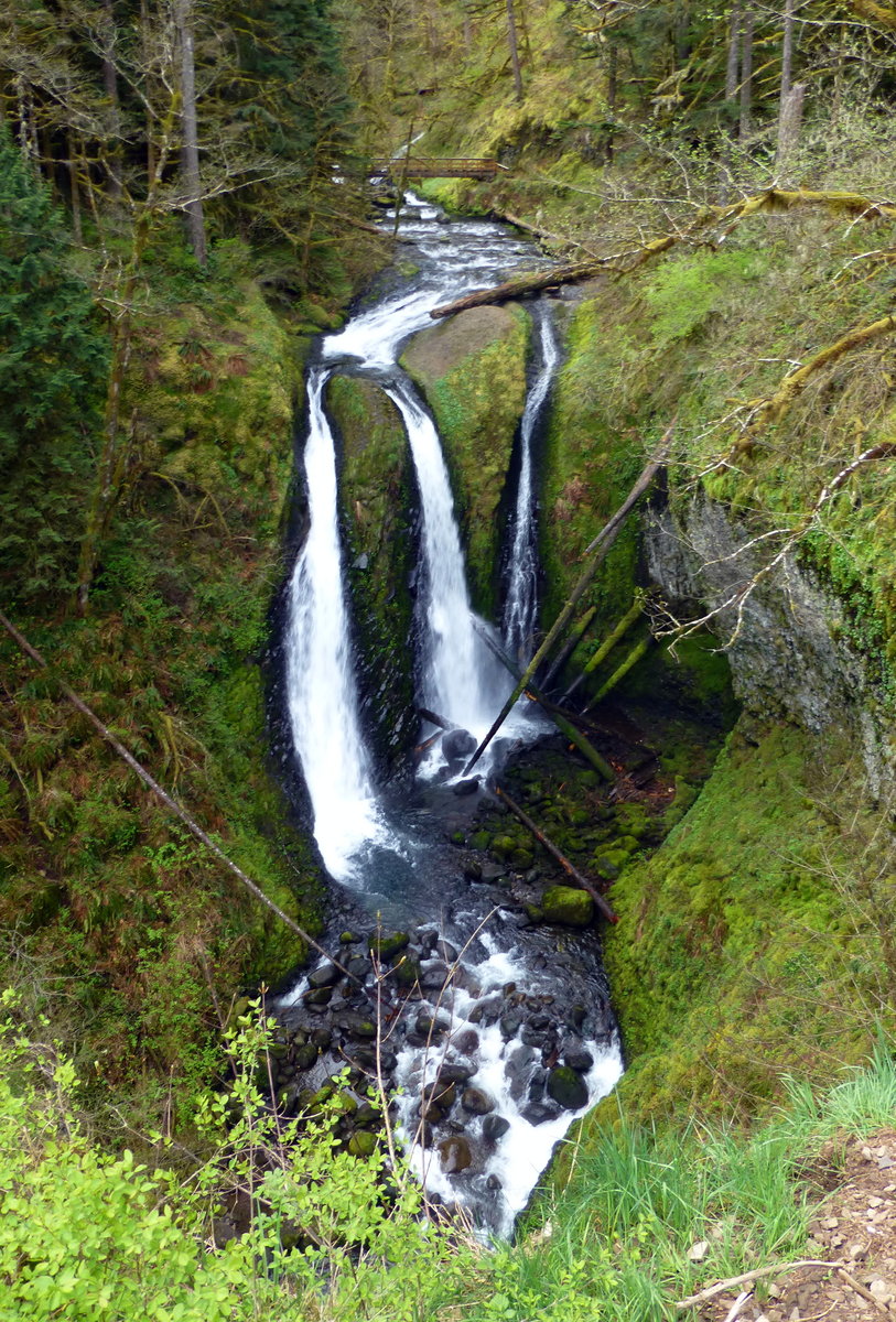
Henline Falls
2 miles of hiking • 250' elevation gain •
Side trip to Henline Falls and the old mining cave and foundations. Pretty neat.
August 3, 2014


 1
1
Oneonta Gorge
1 miles of hiking • 0' elevation gain •
the classic hike/scramble/wade business of oneonta. very lovely, very cooling, very crowded. But why are there so many dogs in there?????
July 14, 2014

Bear Creek - Wallowas
10 miles of hiking • 1000' elevation gain •
Mileage I probably shouldn't have done on my injured knee. But the freezing waters of Bear Creek served as a wonderful, natural ice pack. Very lovely hike to an old locked up guard station.
July 5, 2014

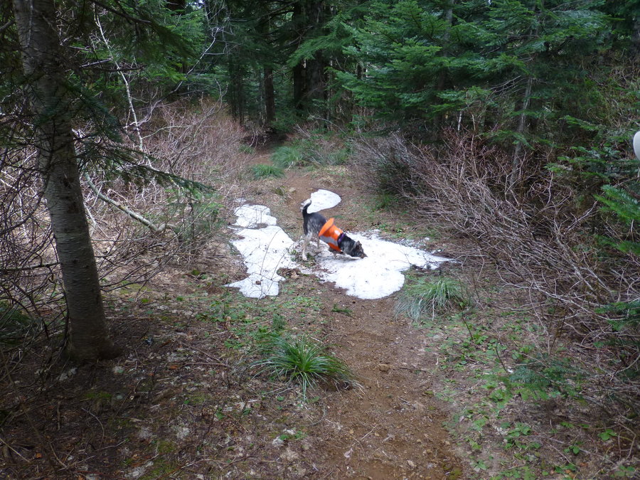
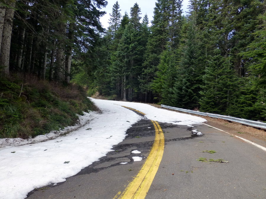
Owl Point
5 miles of hiking • 500' elevation gain •
First hike in two months due to a busted knee - it did okay on this lovely and gradually graded trail to Owl Point. Awesome views of Helen's, Adams, and Rainier from Alki Pt, and stellar view of Hood from Owl Pt. Bluebird day and hit just a few remaining patches of snow halfway in - will be gone in days, surely. The long drive is also lovely, despite spending more time in the car than on the actual trail. Sadly, knee still needs some rehab work. (Check out the summit registry for Renegade Pilgrim, Powder Bitch, and Elsie!)
June 23, 2014


Larch via Oneonta
18 miles of hiking • 4500' elevation gain •
Went up to Larch via Oneonta and back down Multnomah and returned via 400. Sunny and hazy, but saw all peaks about from Sherrard Pt. and only saw a couple people all day. Most importantly, NO SNOW on trails. Still some snow on the road up to the parking lot and some drifts on the paved walkway to Sherrard Pt, but all snow is gone from the trails, but for some puny patches that will be gone with tomorrow's rain.
April 14, 2014


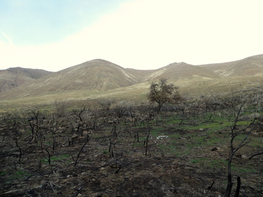
Catherine/Coyote, partial loop
9 miles of hiking • 2500' elevation gain •
Headed out east seeking some early flowers...was hoping for more, considering all the sun and rain (debbie downer here!). Had some great sun, a bit of rain, even some hail, and tons of wind. Went clockwise from Catherine, over Rowland lake, up Coyote wall, and back over to the western part of Catherine. Hope to do the full eastern Catherine Creek portion as well...with flowers!
March 17, 2014

March 9, 2014
 3
3
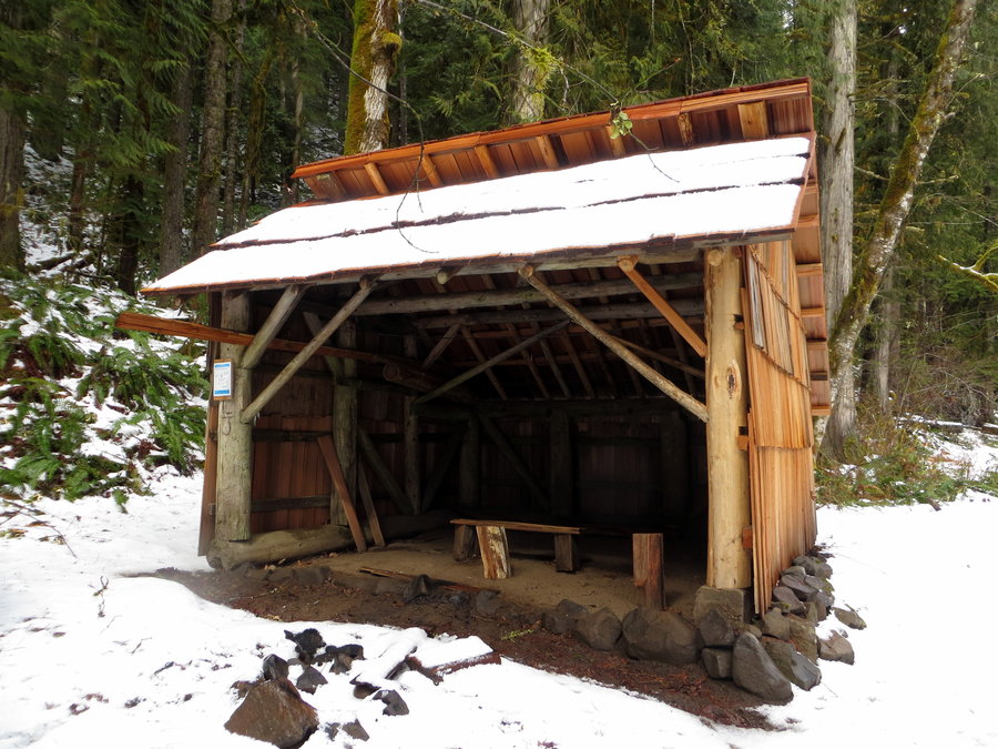
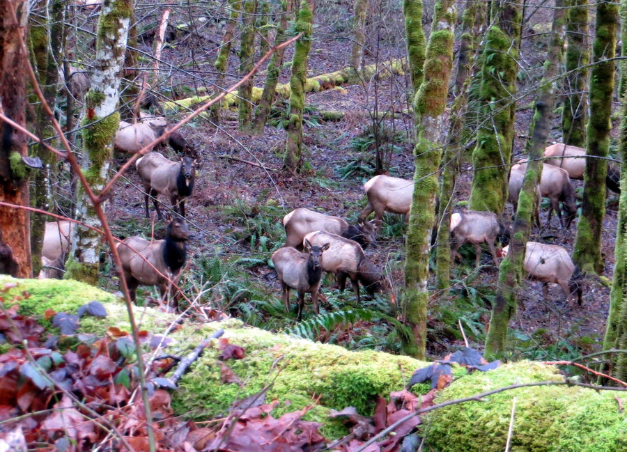
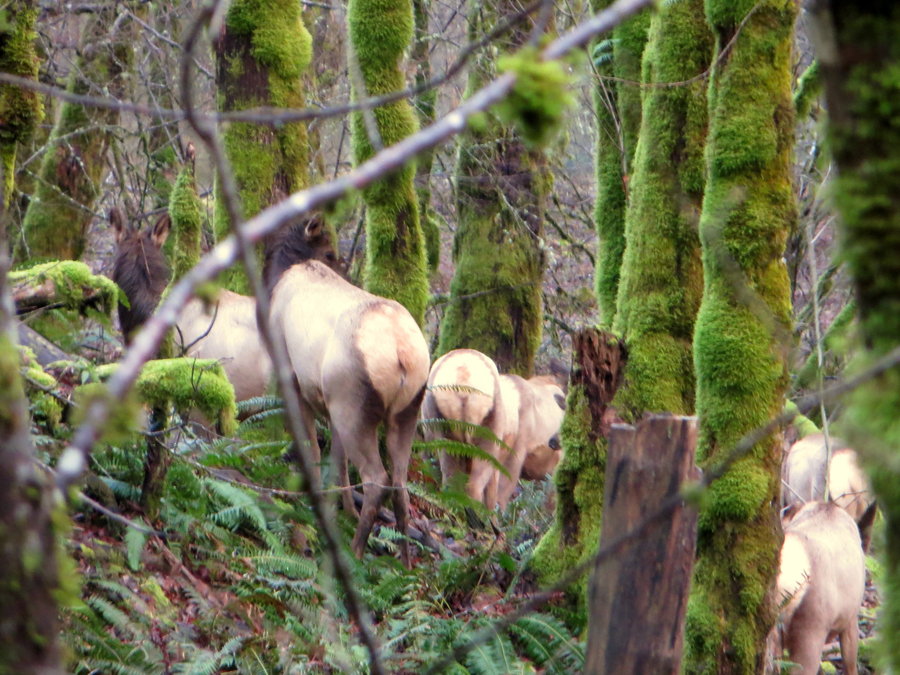
Lewis River Trail
14 miles of hiking • 1000' elevation gain •
Surprising day when there shows evidence of a sun! Amazing, lovely hike along the Lewis River. Had hoped to park at the Lower LR TH, but snow on the road stopped us. Easily made it to Curly Creek TH (in a truck over slush), and set off for an easy out-n-back. Saw a massive heard of elk mulling (quick head count of 31, and more behind trees and other elk..and didn't run off when they saw us.), sunshine, a neat shelter, raging river (raftable???). Snow level 0-4in, and the trail was easy to spot the entire way.
March 3, 2014


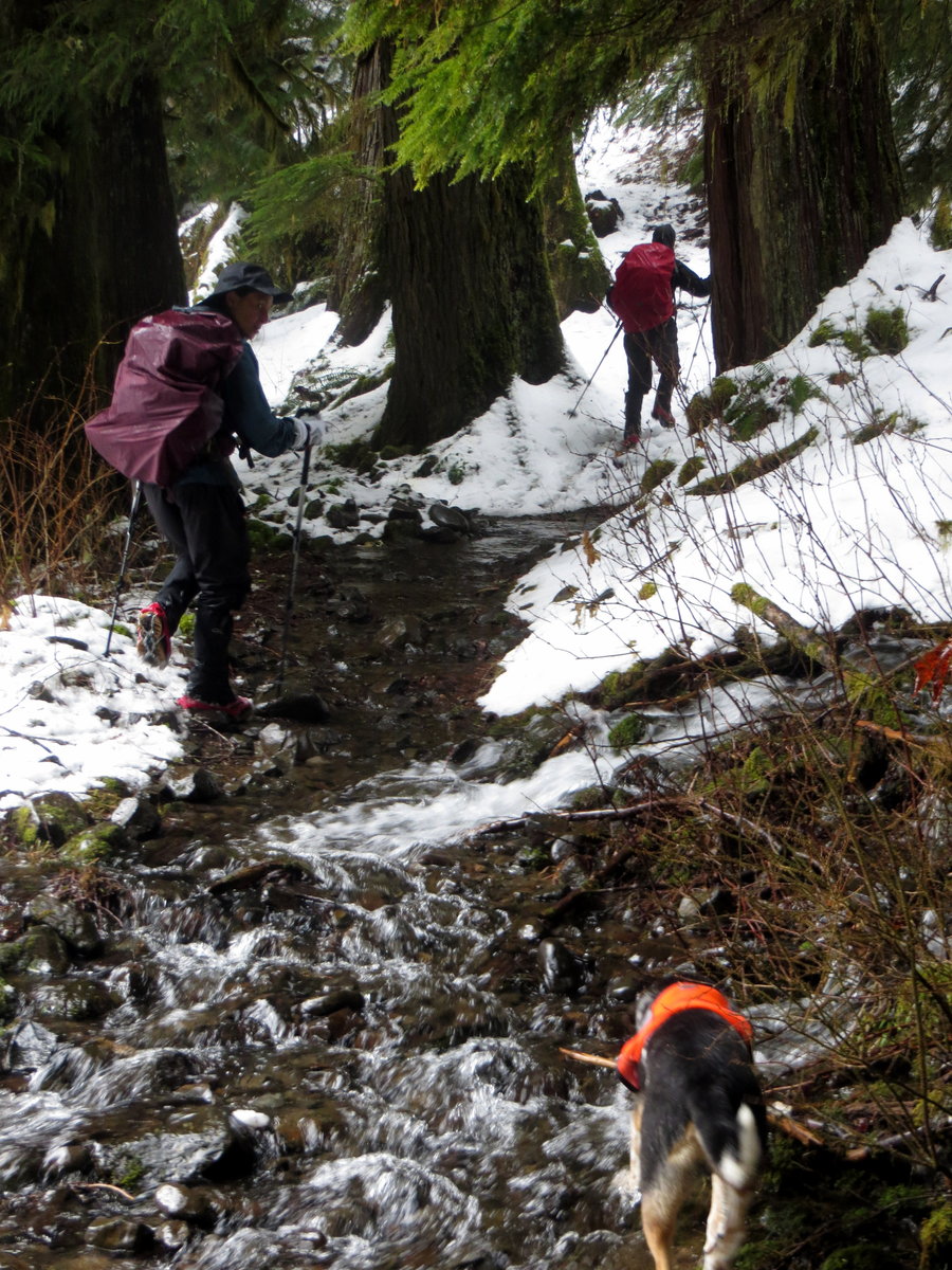
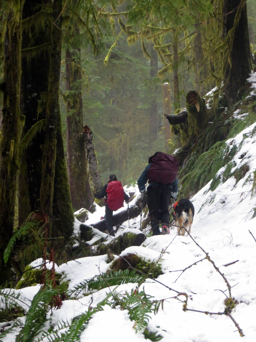

 2
2
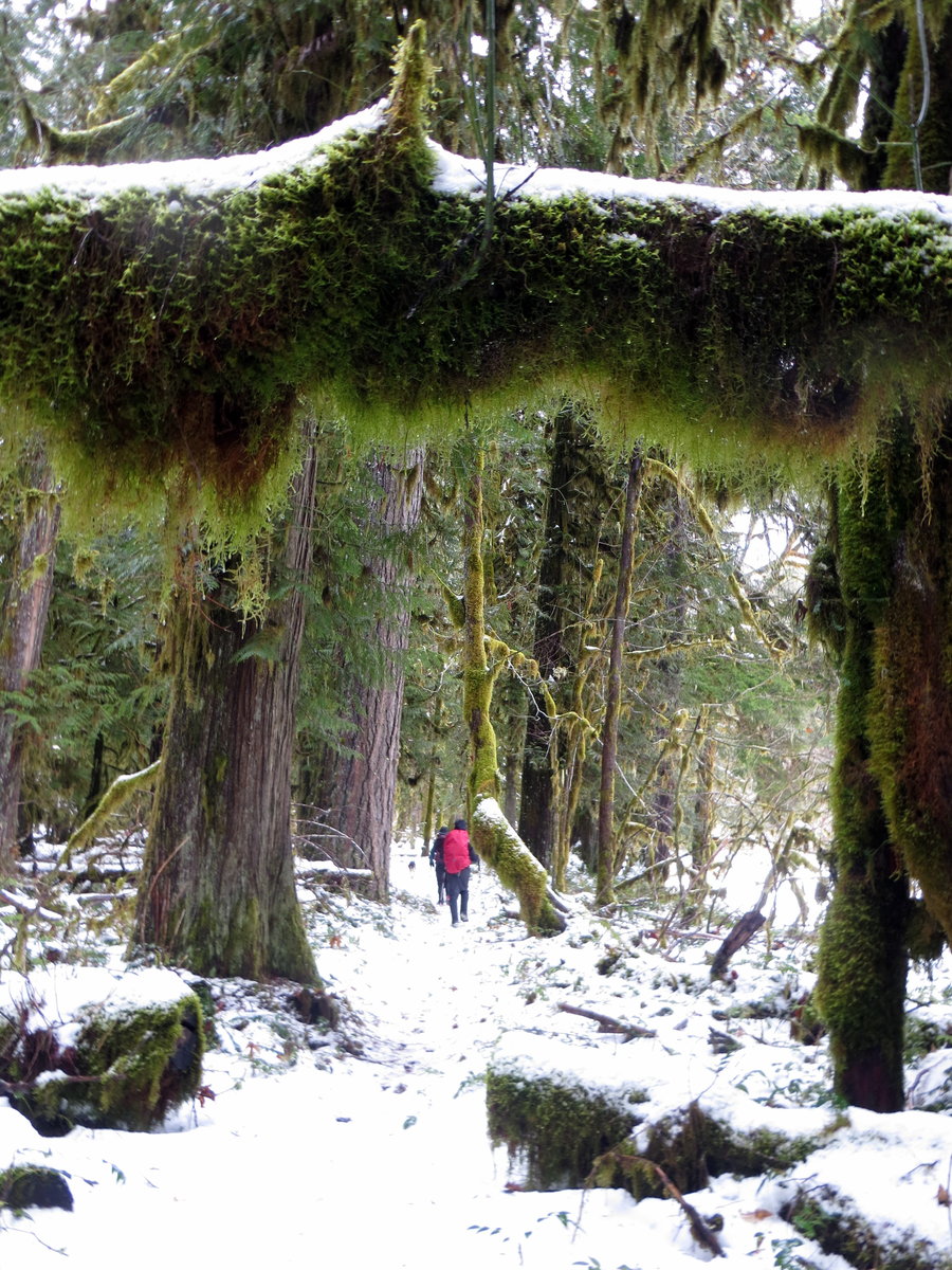
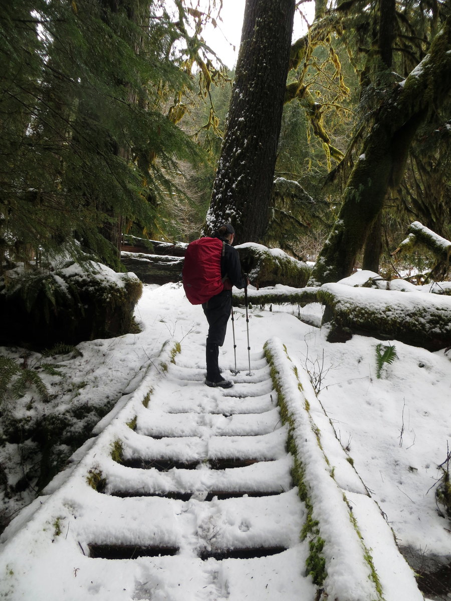
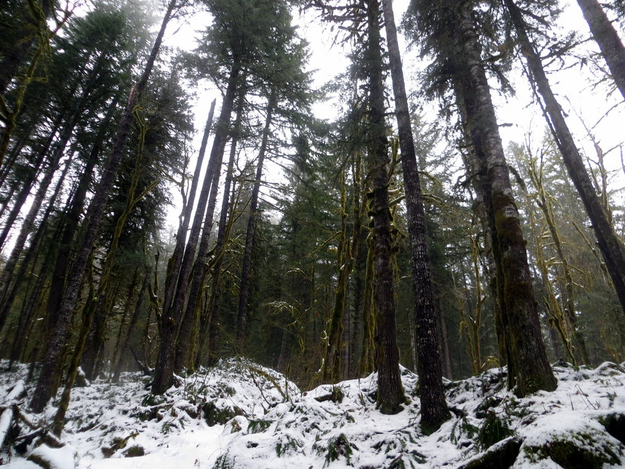
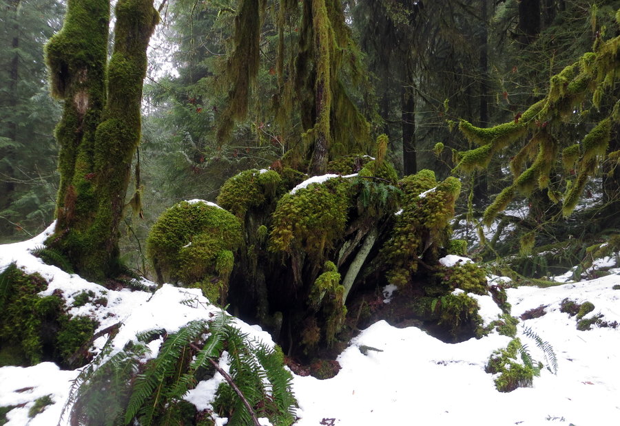
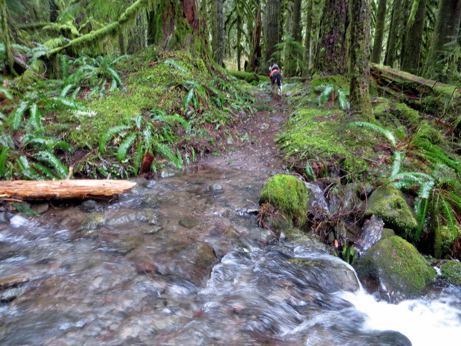
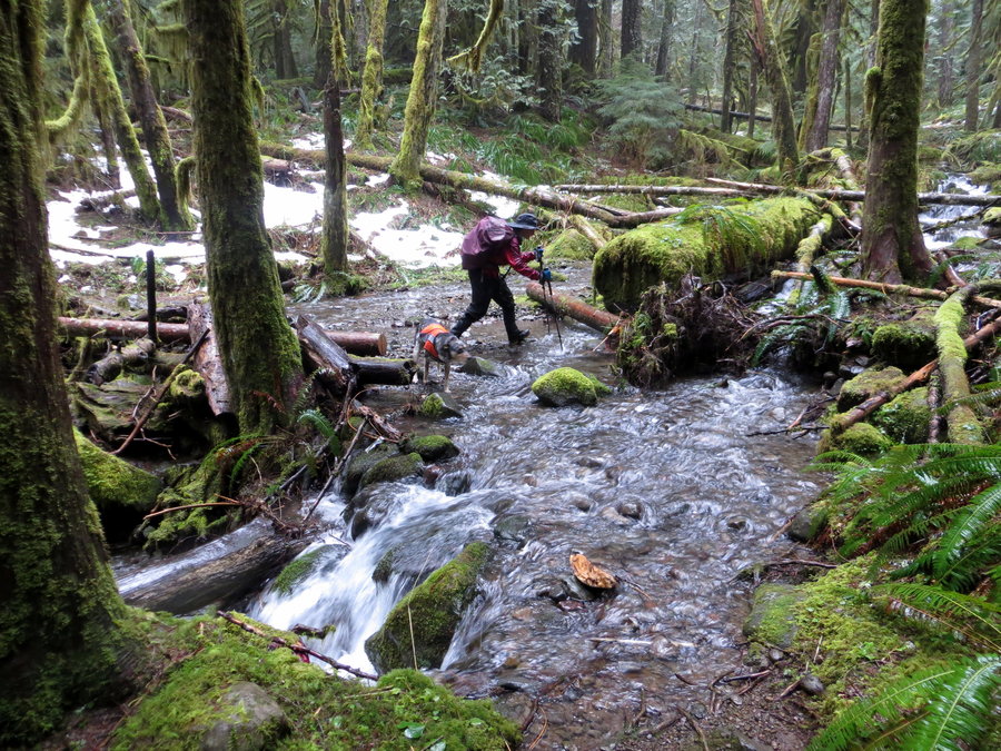
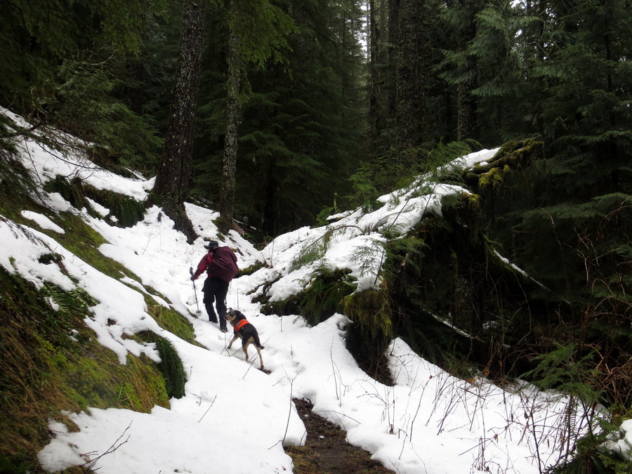
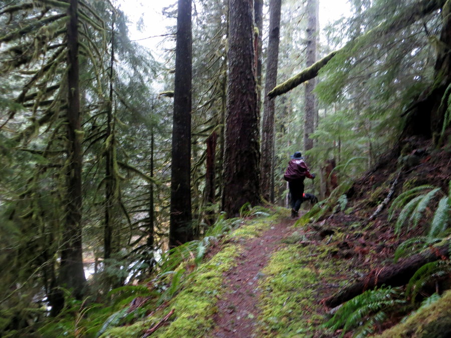
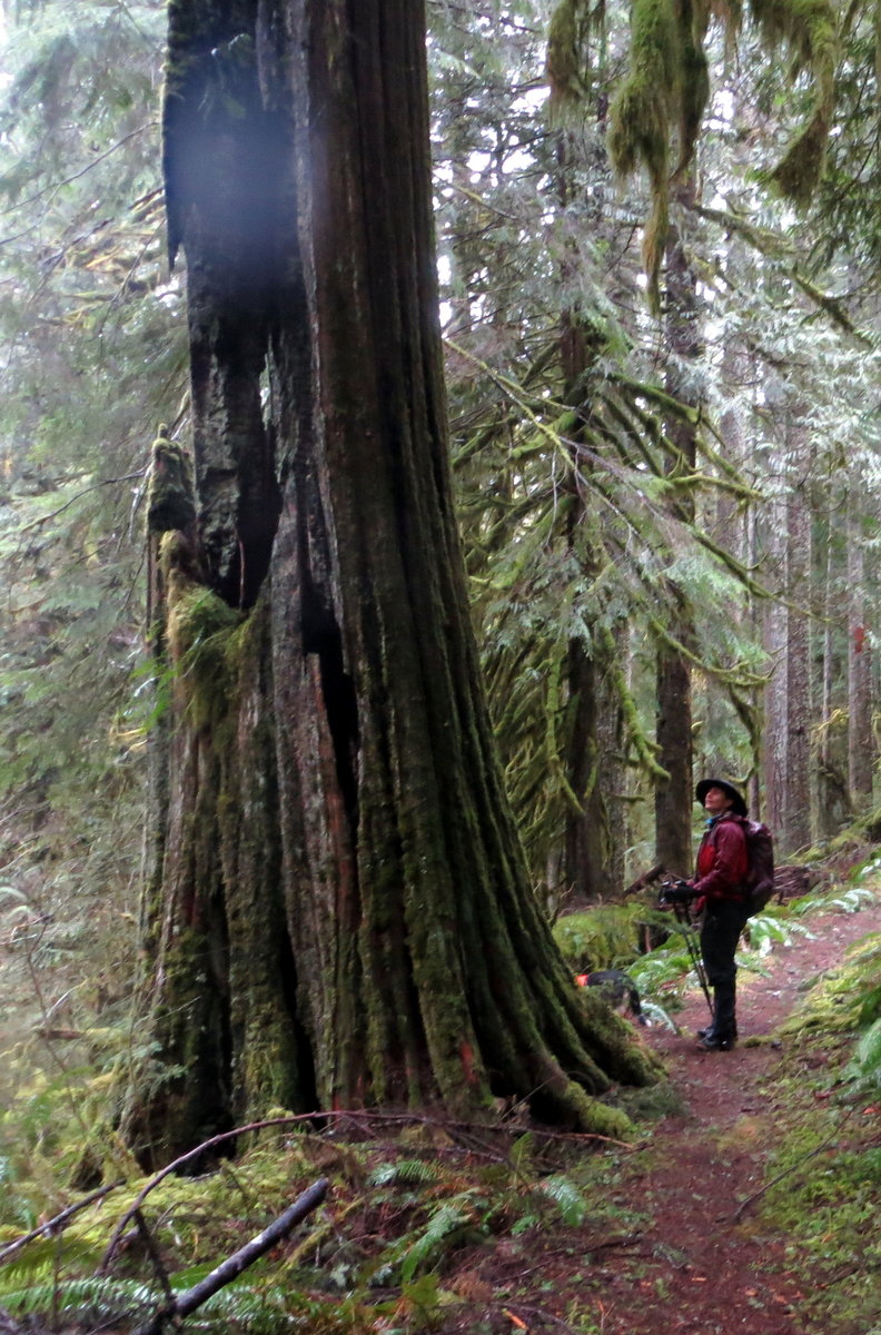
Eagle Creek (Salmon-Huckleberry)
15.5 miles of hiking • 1750' elevation gain •
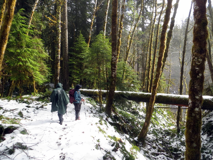
Soggy, luscious day in the rainforest of the Salomon-Huckleberry Wilderness. Hit snow in the final third portion of the trail, but the route was pretty obvious. Melted out prints were there from Saturday or Sunday. Several creek crossings, but were easy enough. Elk footprints in the snow. Wish it had been a loop, but ah well. Driving and finding the trailhead was slightly confusing, but trusted book/online/hiker resources and made it without a hitch. Noone else out there all day.
February 24, 2014

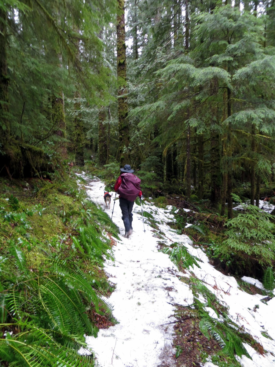


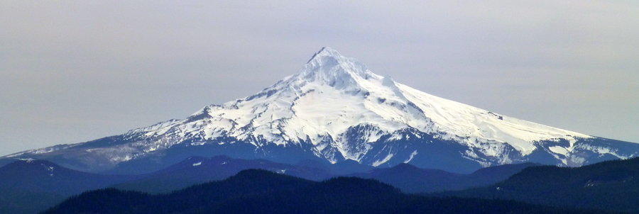
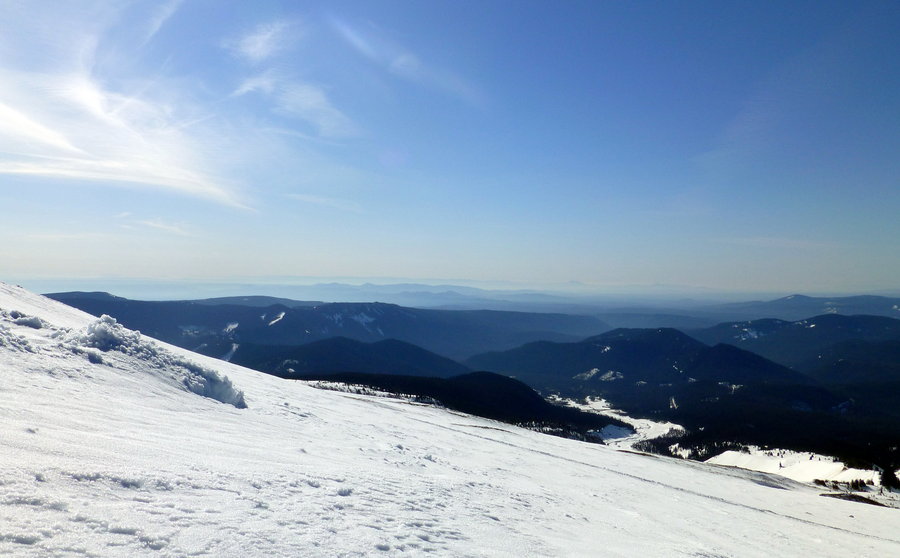
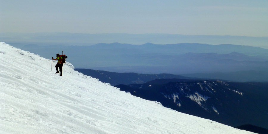
Yocum Ridge and Ramona Falls
15 miles of hiking • 3500' elevation gain •
Went out with a couple girlfriends to make our way up yocum ridge. Road, parking lot, and first 6 miles of the trail was free of snow. Icy on the lower Ramona trail. Came just short of the ultimate desinate - may have ended up a bit higher than we wanted. good views. Crossed the Sandy on a log about 75 yards down stream.
January 27, 2014


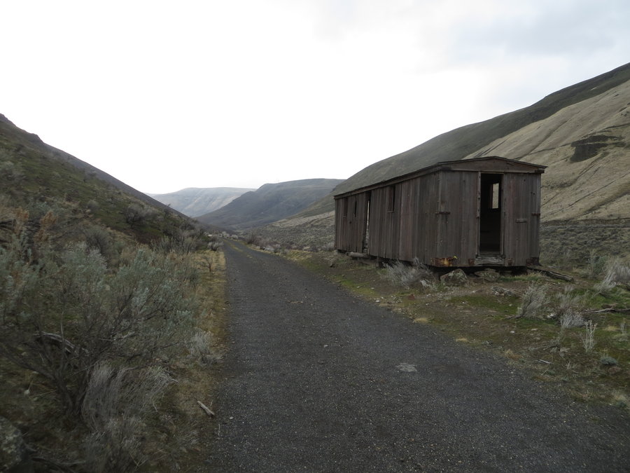
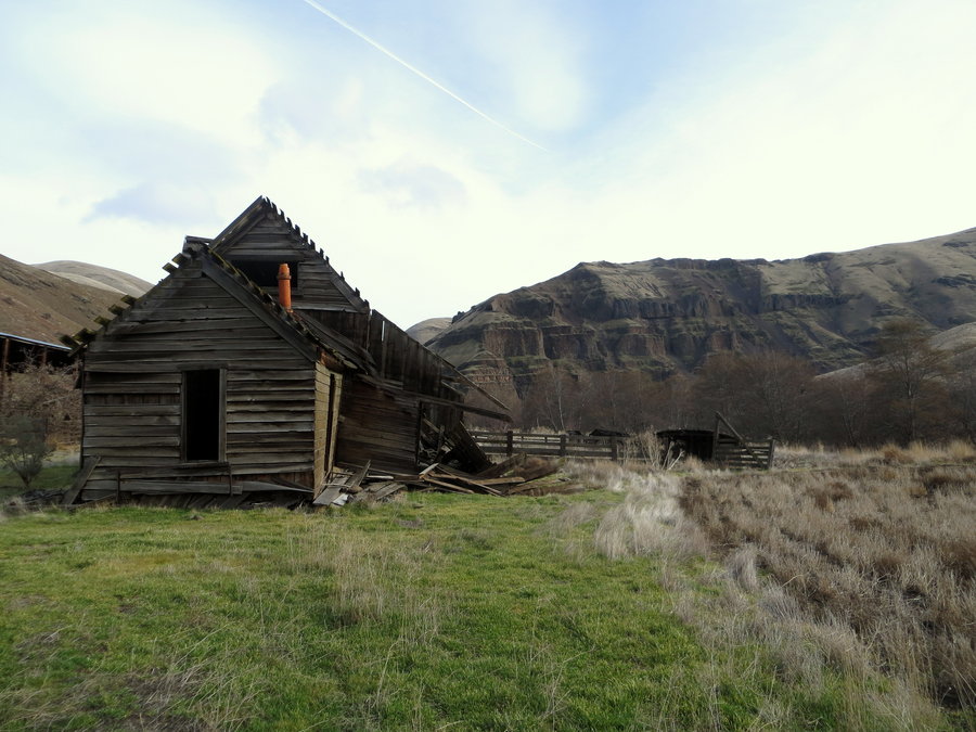
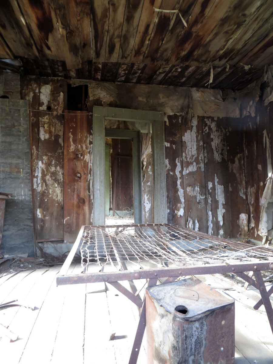
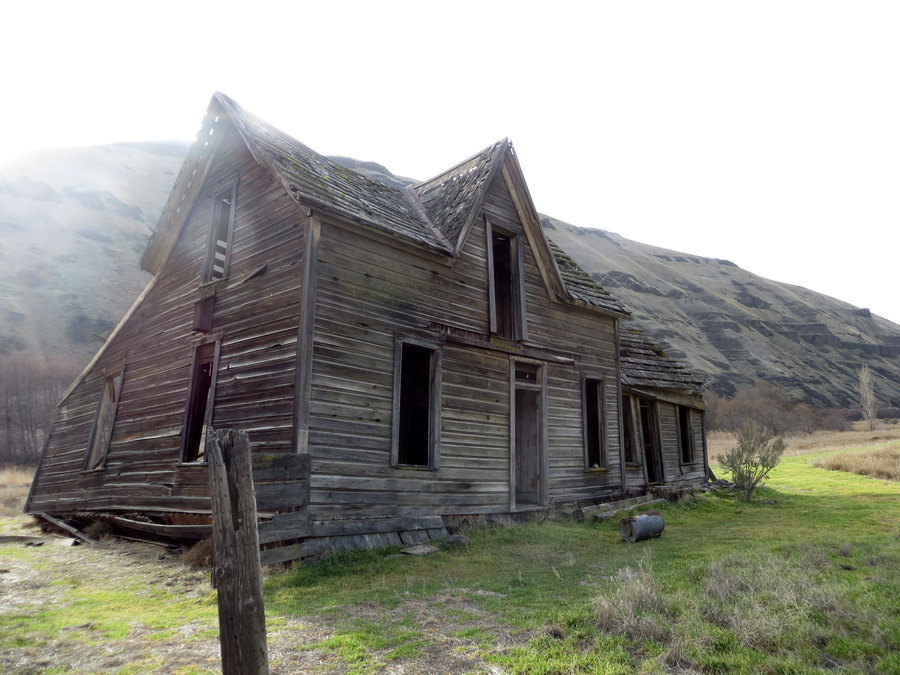
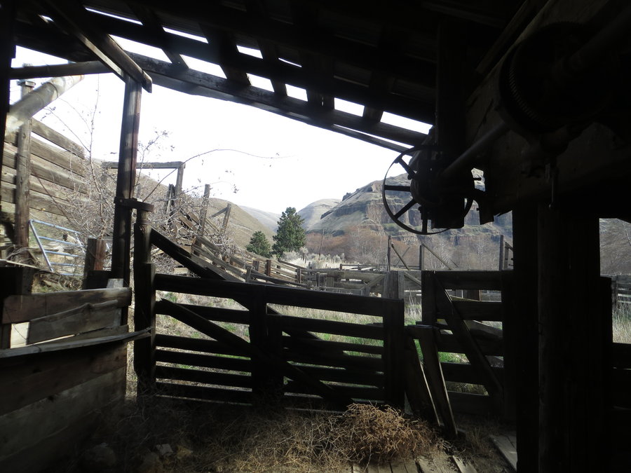
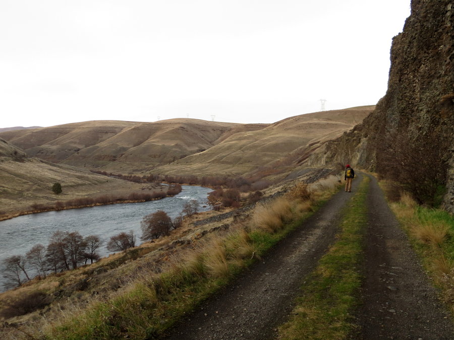
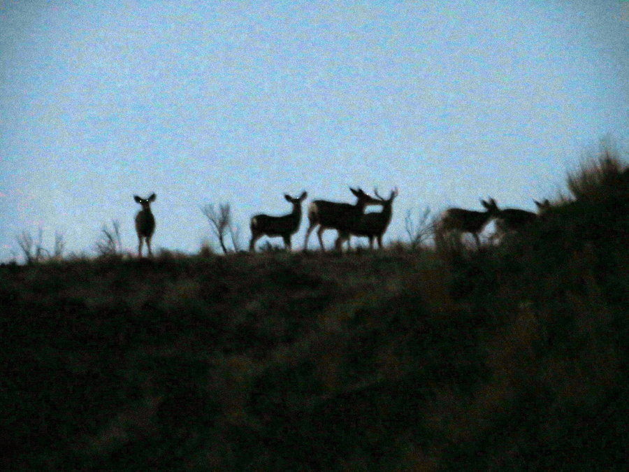
Lower Deschutes River
22 miles of hiking • 250' elevation gain •
Tried to chase the sun and get out of our gloomy weather - stayed dry, but no chance of a tan to be had. Went out to the old broken down homestead at mile 11 and back on the bike path. Legs hurt. Gravel does not make soft ground for hiking. Saw a herd of about 20 deer. Glad for the day.
January 13, 2014


January 5, 2014
