

2014 Trips


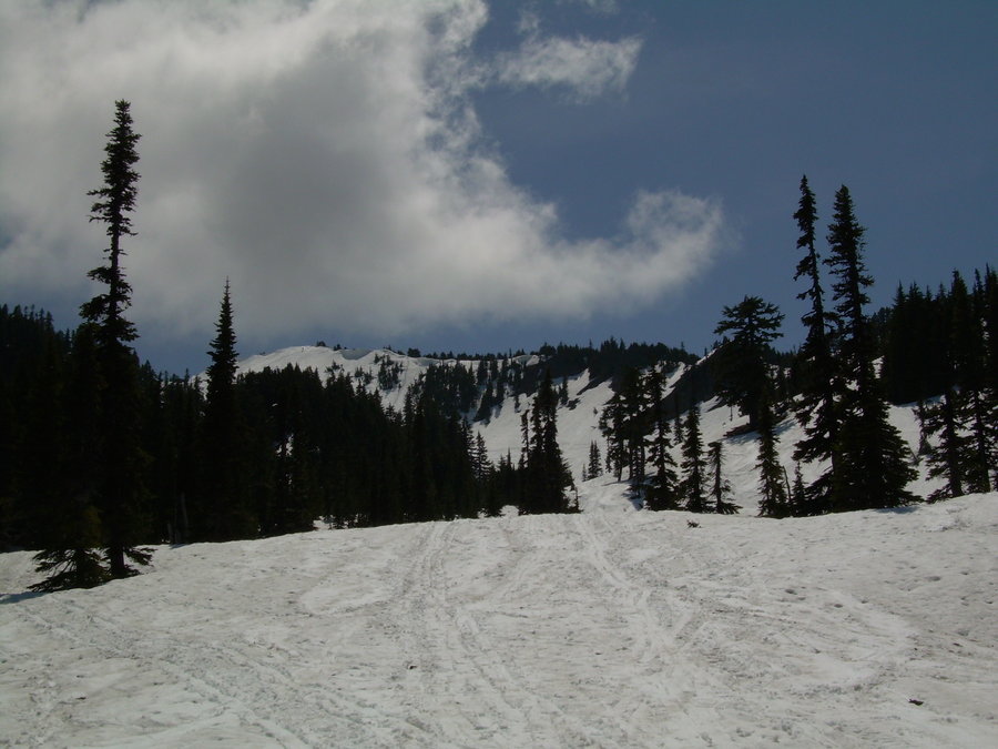
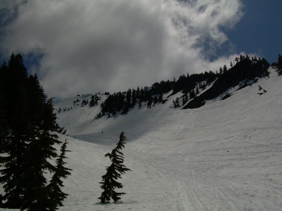
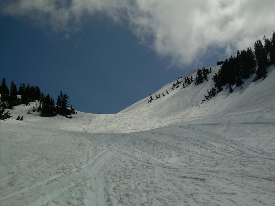
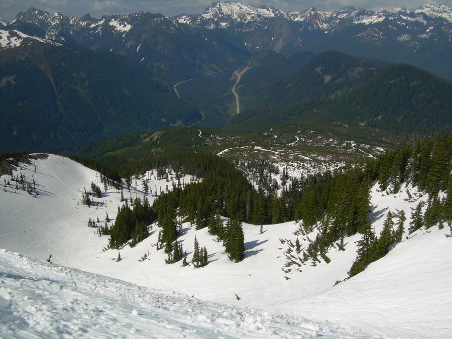
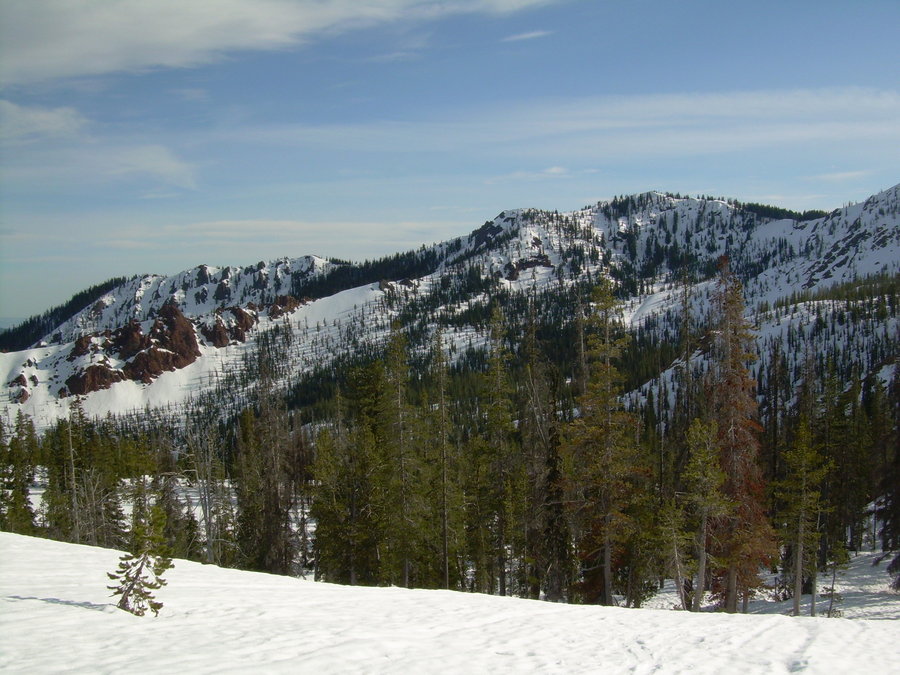
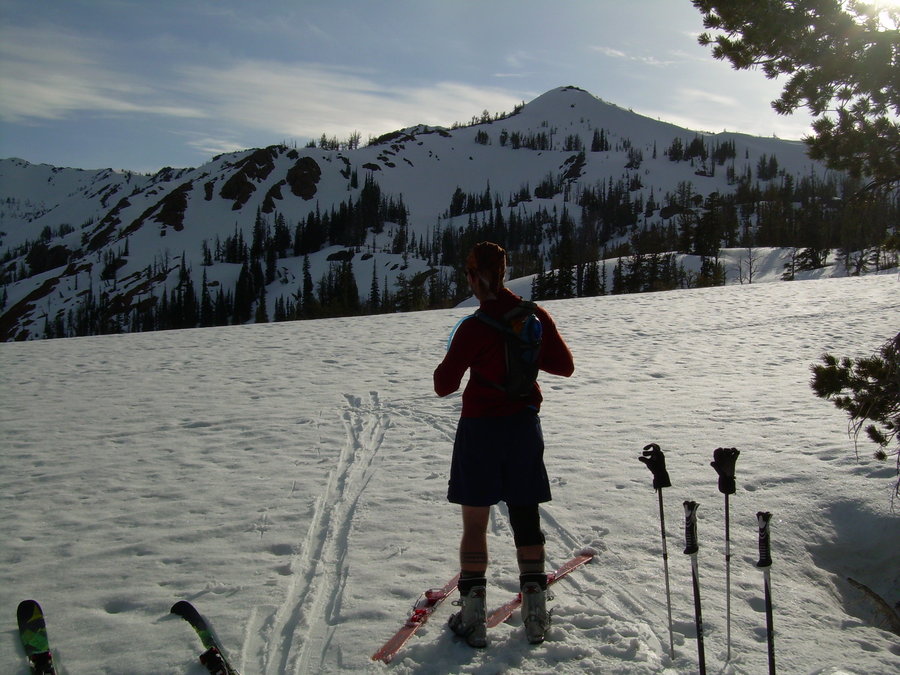
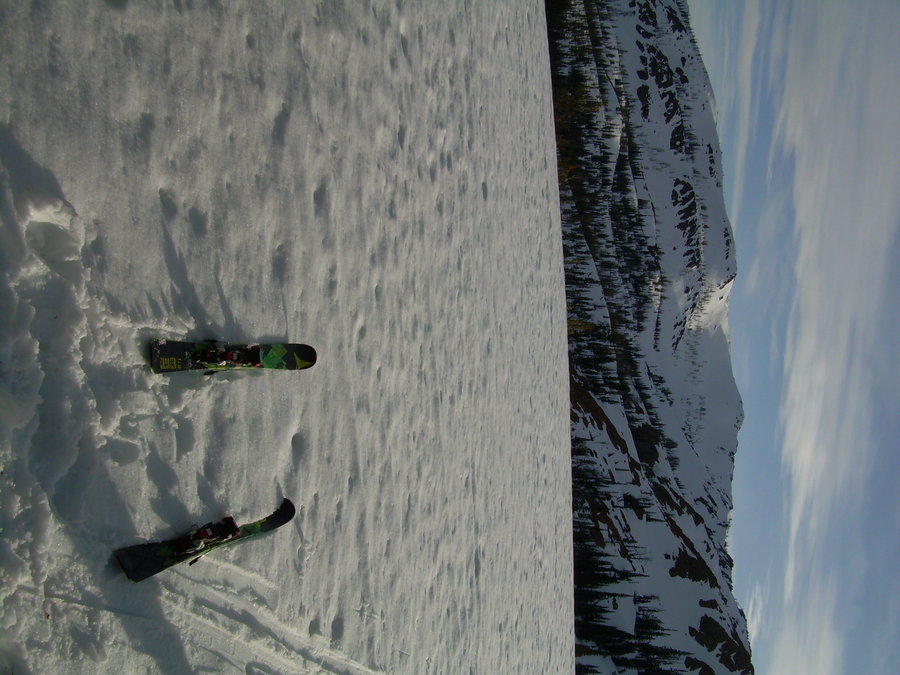
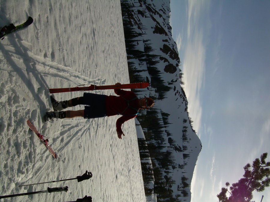
Crystal Mountain Ski Tour
2 miles of hiking • 2000' elevation gain •
Skinned up Crystal on Sunday under bluebird skies. Conditions were great up high, but still really thin down low. Was thankful to be off the couch and getting my 1st turns of the season in !!!

December 1, 2014

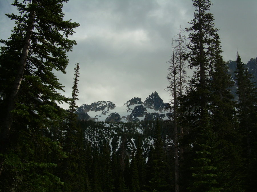
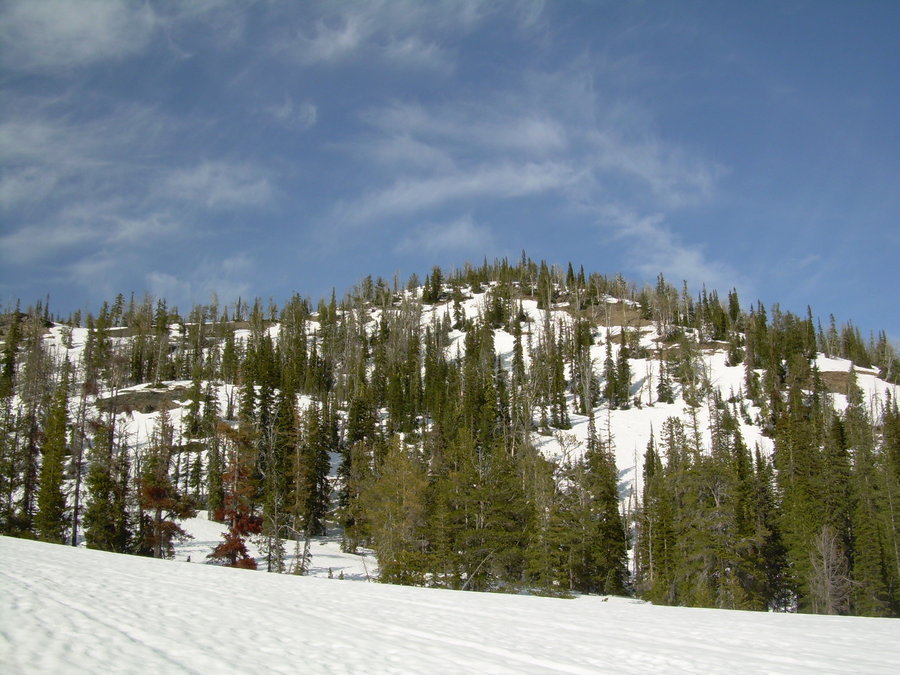
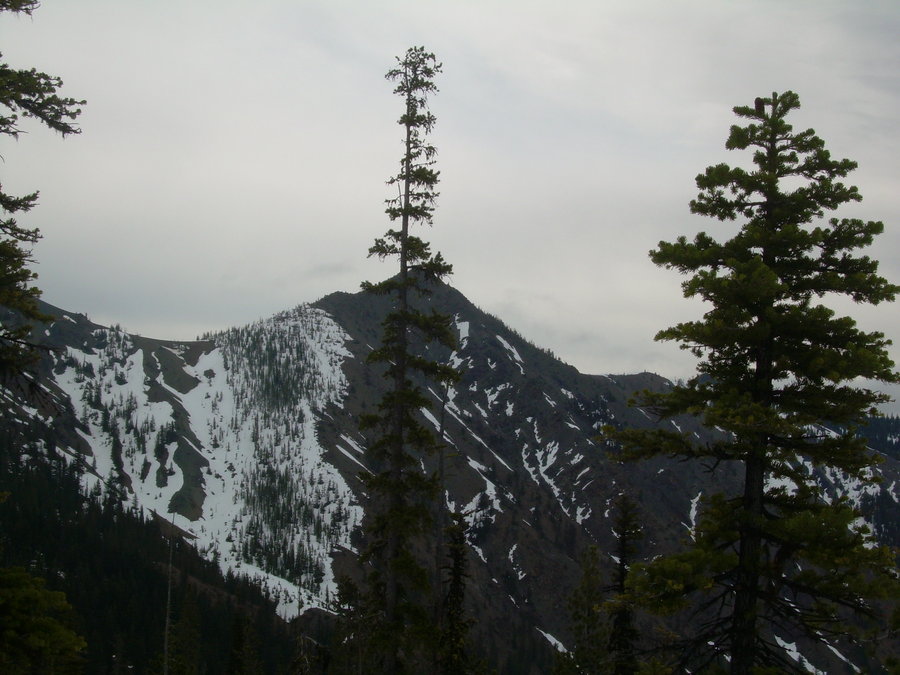
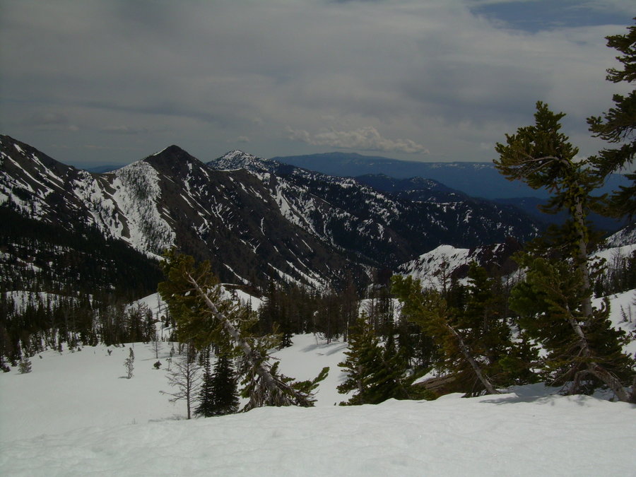
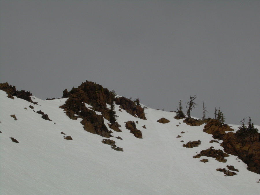
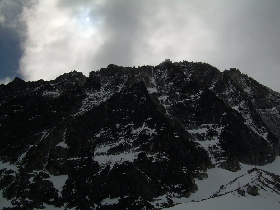
Sloggy Day up Thomas Mountain
4 miles of hiking • 2000' elevation gain •
Didn't make a summit push this day. Will probably head back this winter for a slowshoe trip.
October 26, 2014

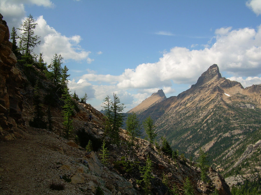
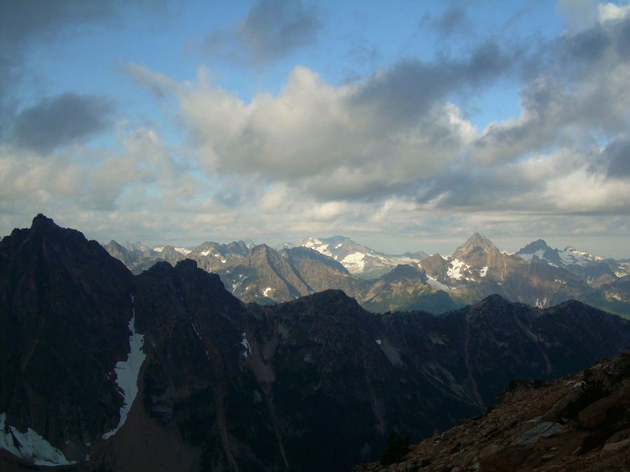
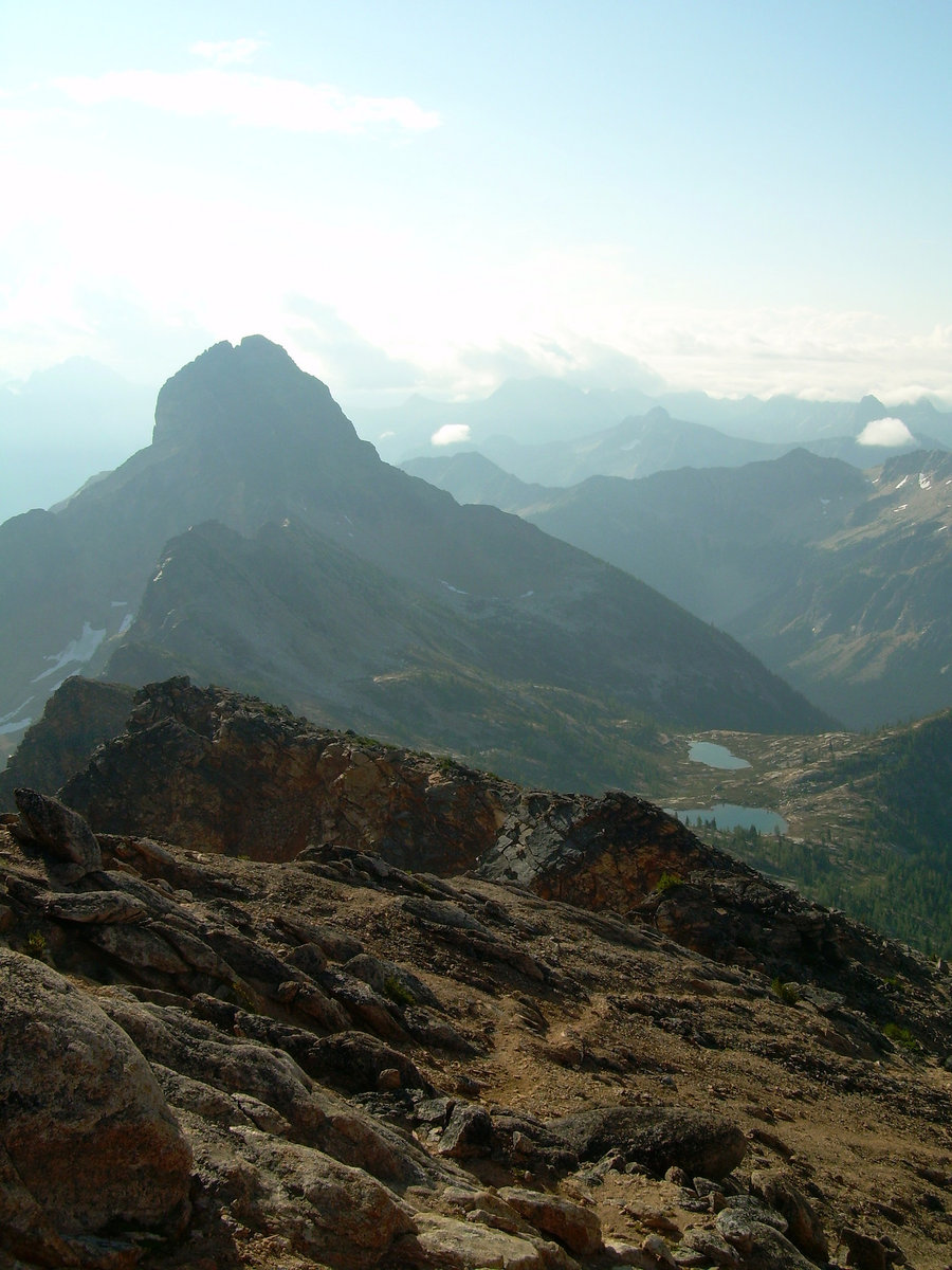
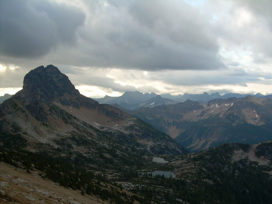
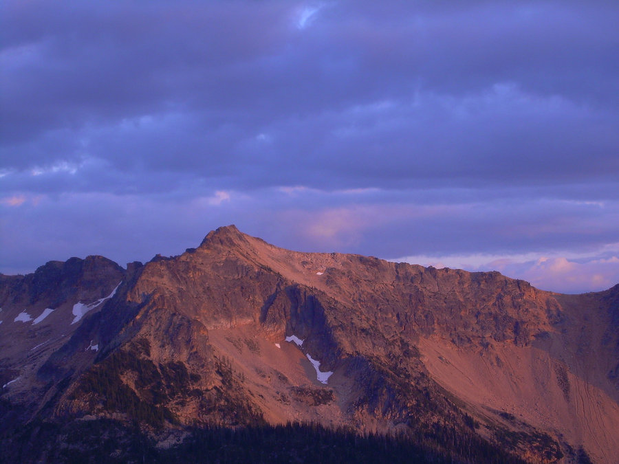
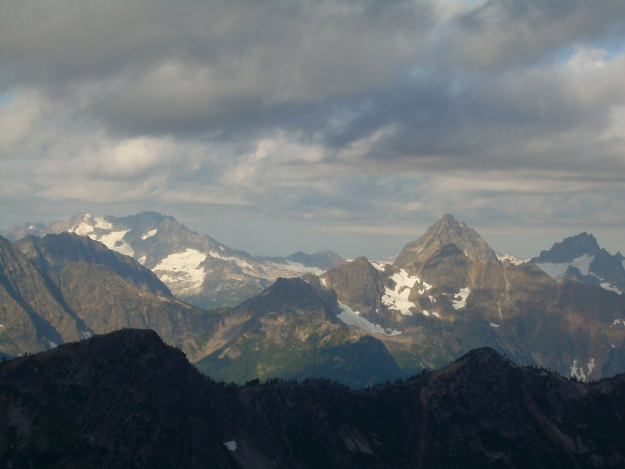
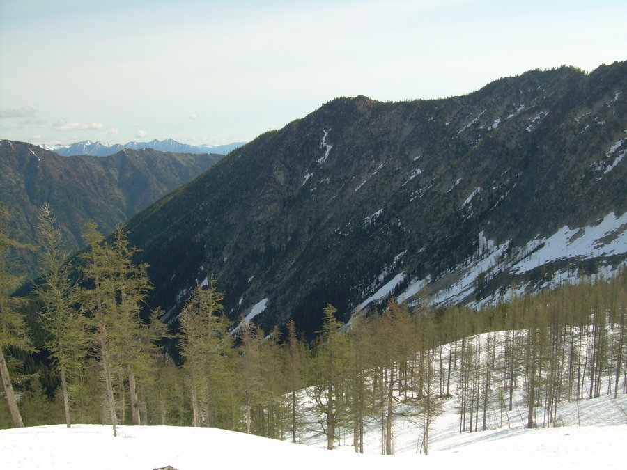
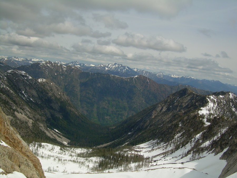
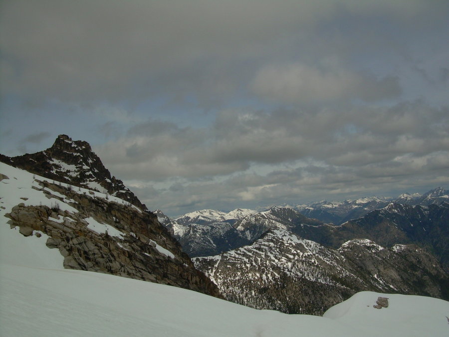
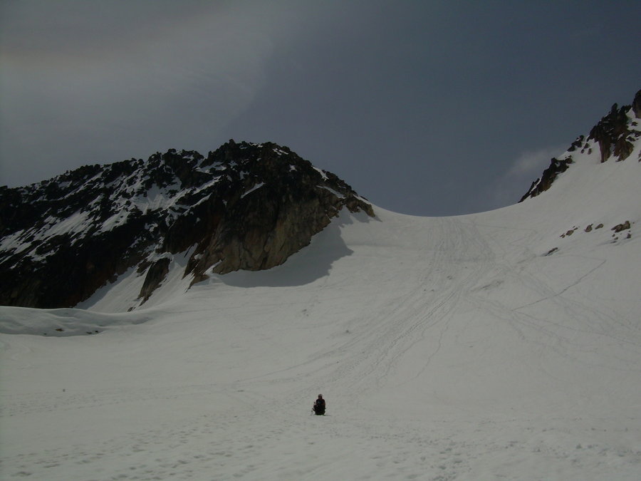
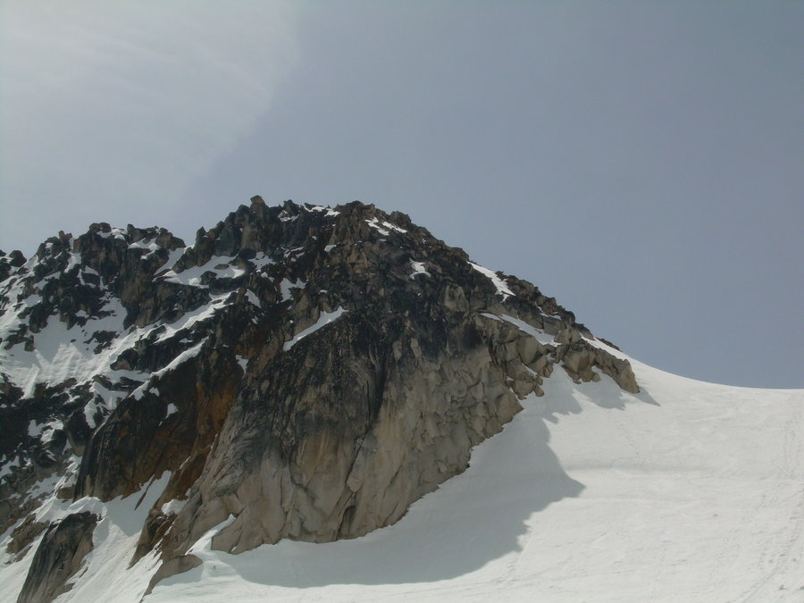
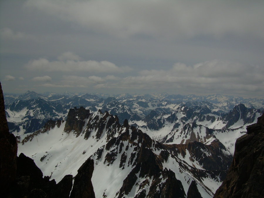
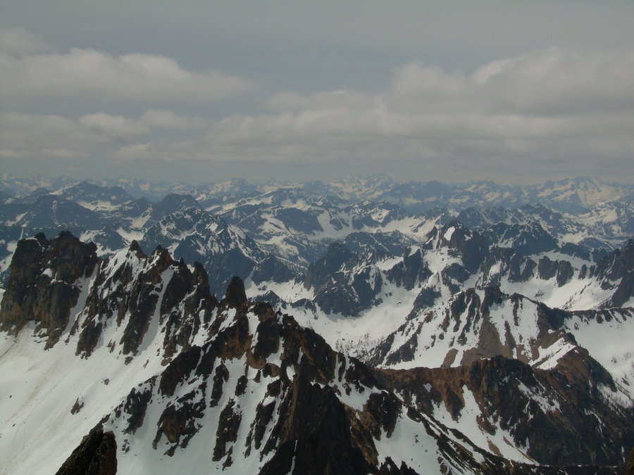
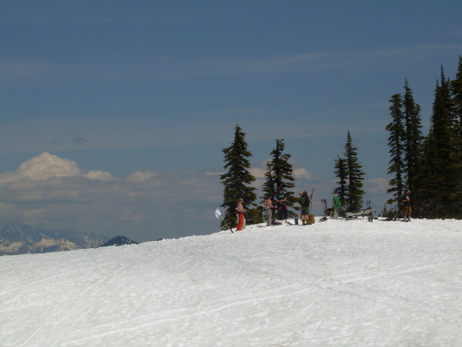
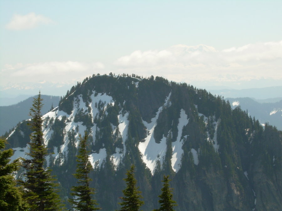
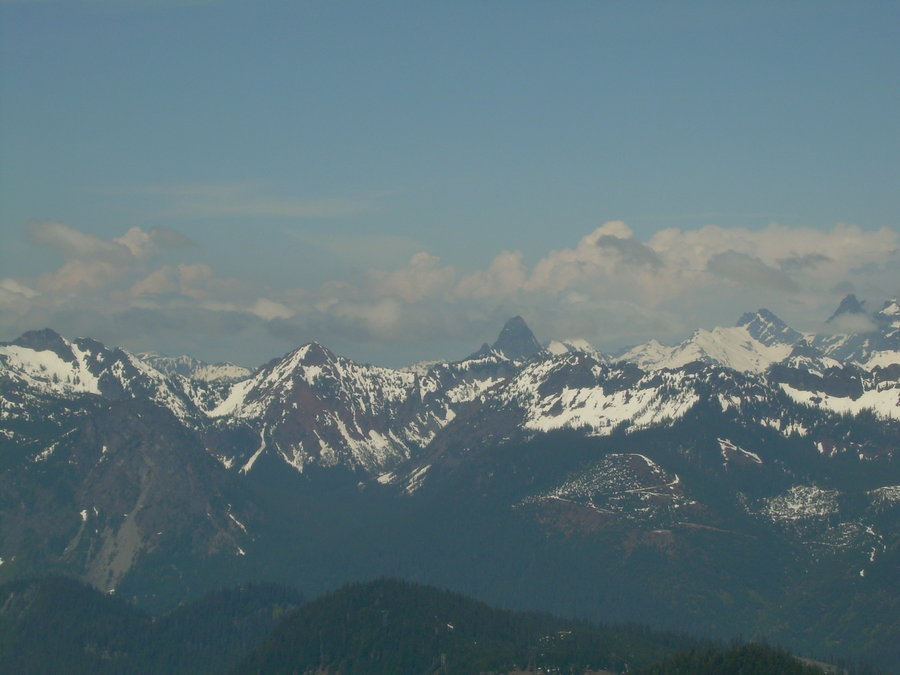
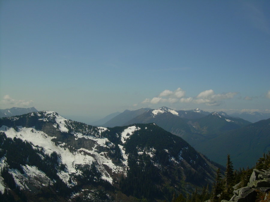
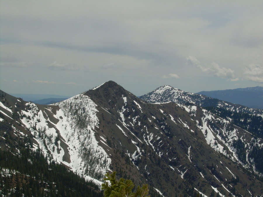
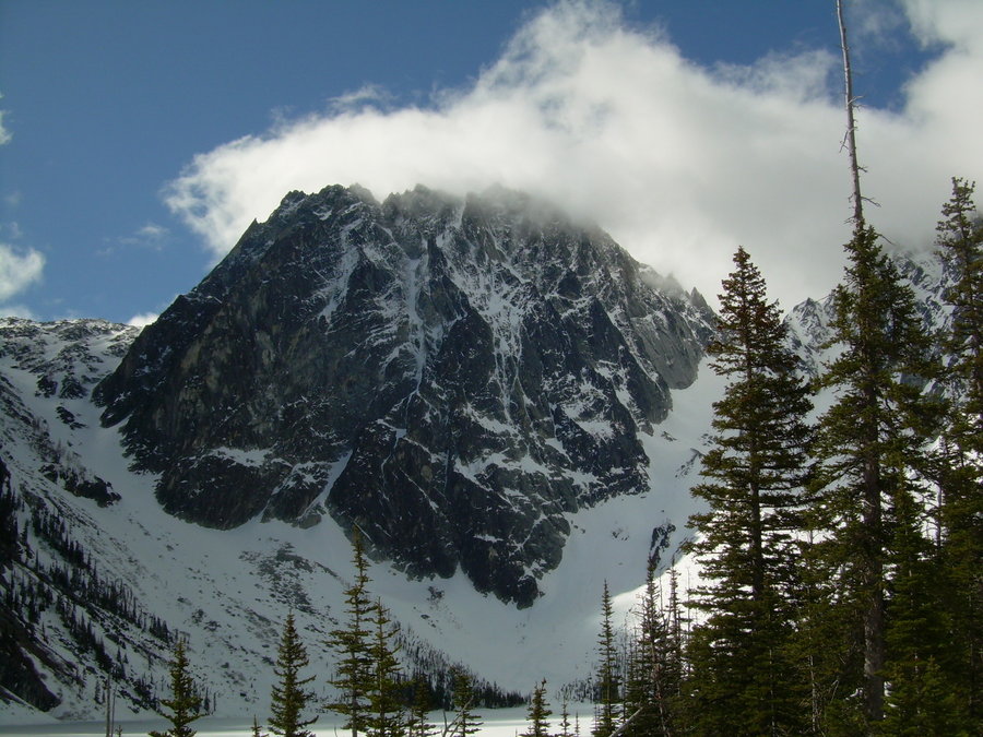
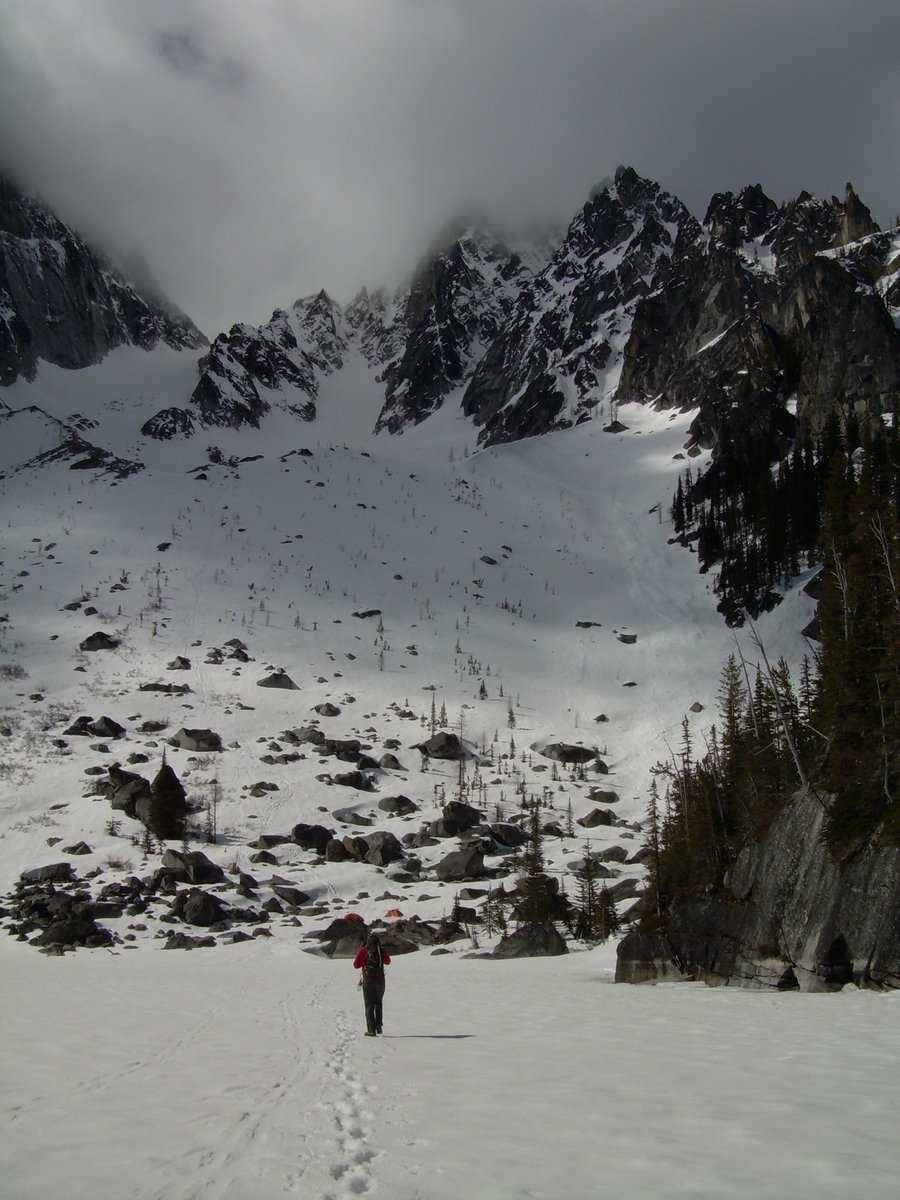
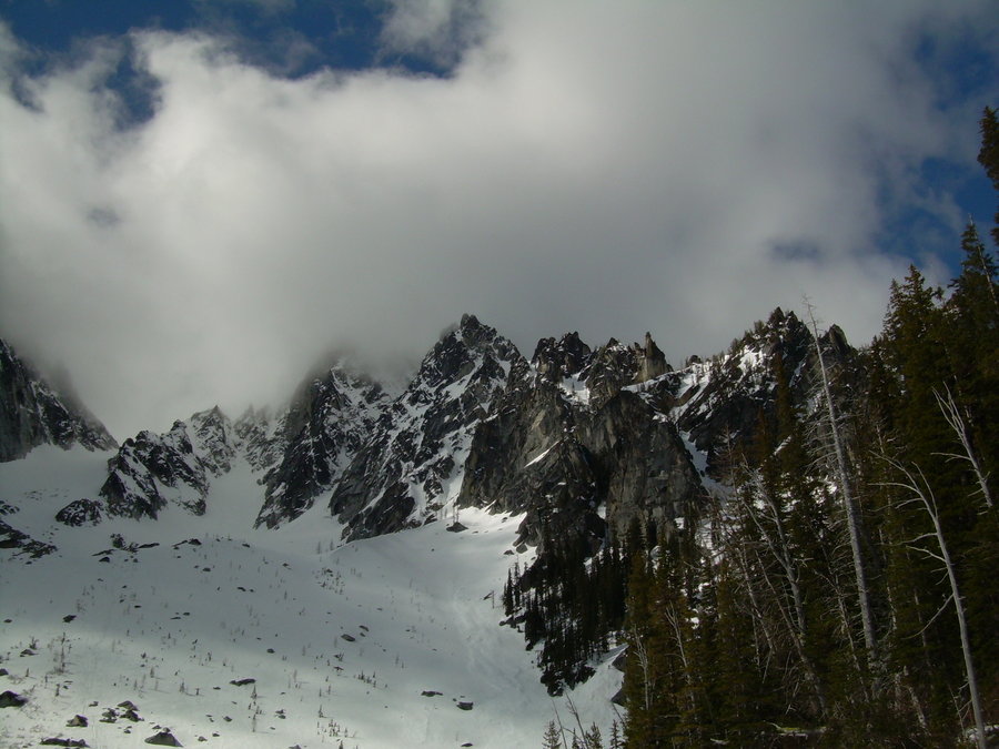
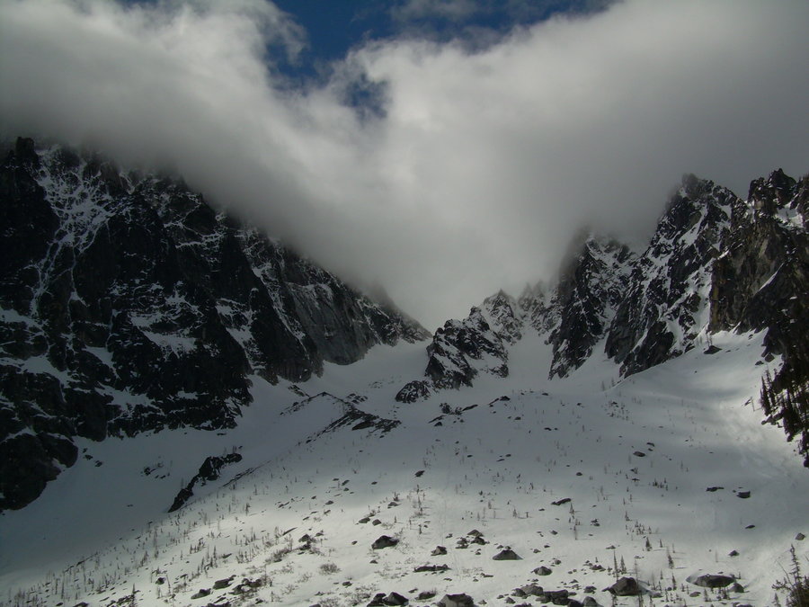
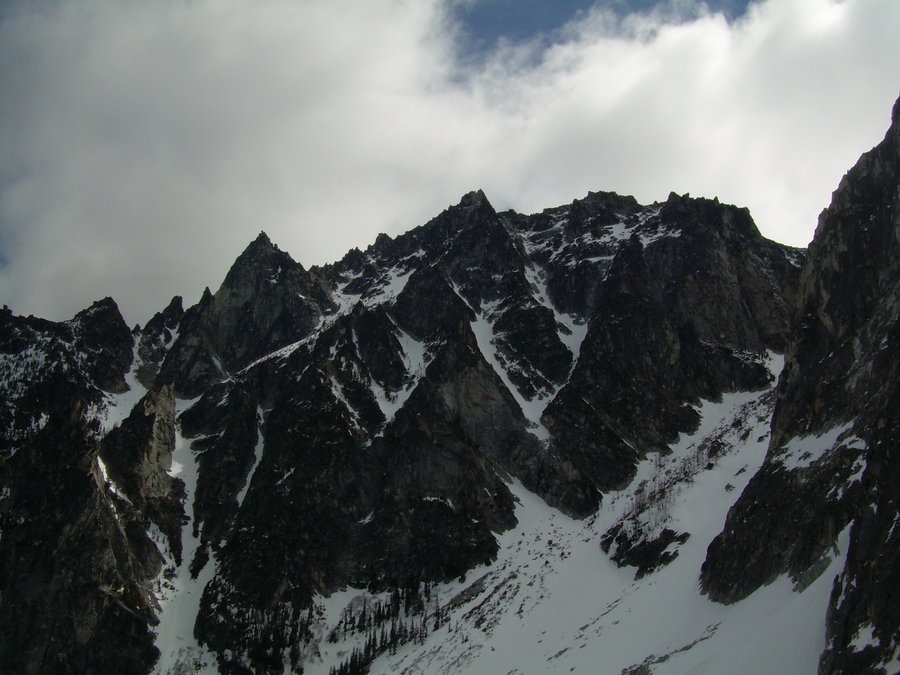
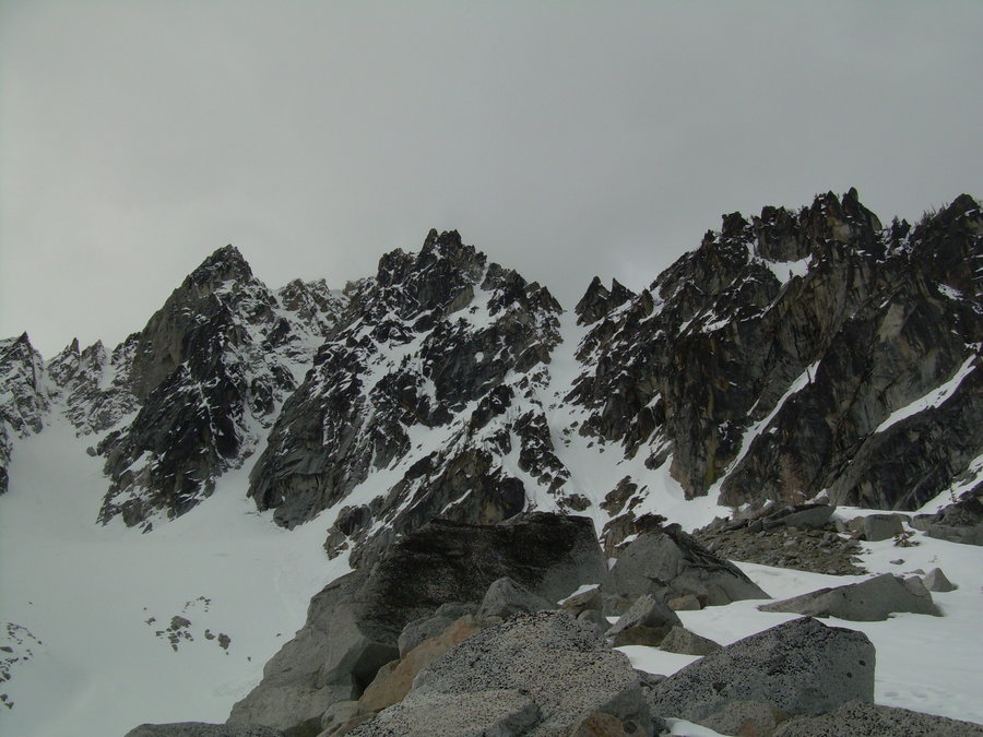
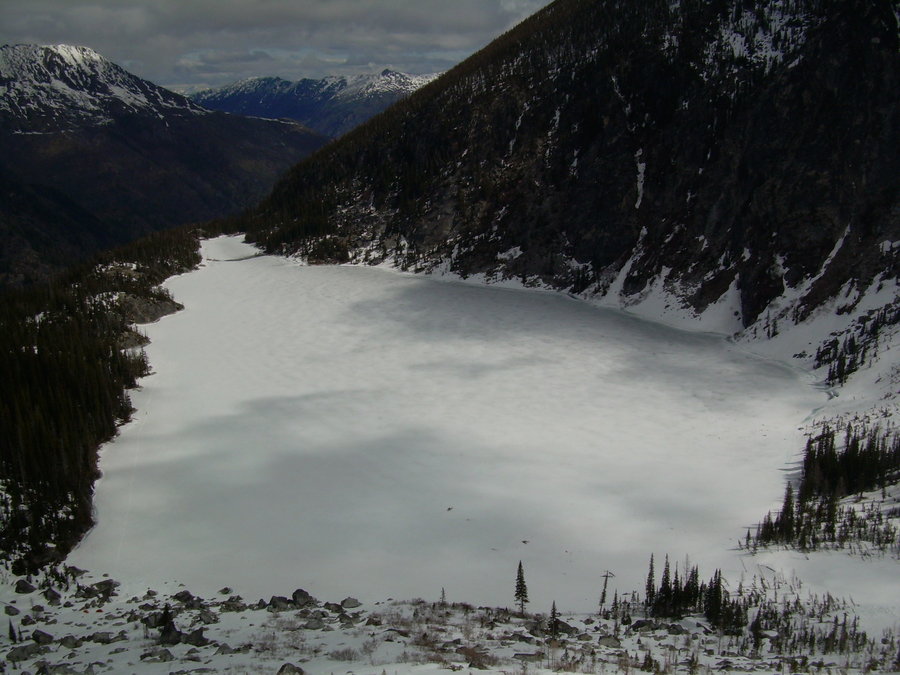
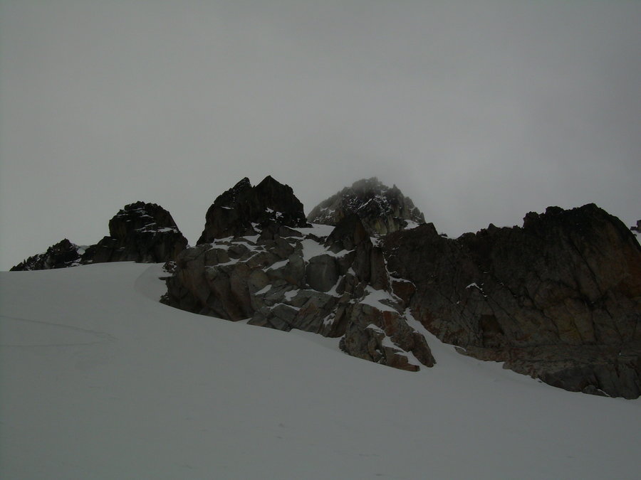
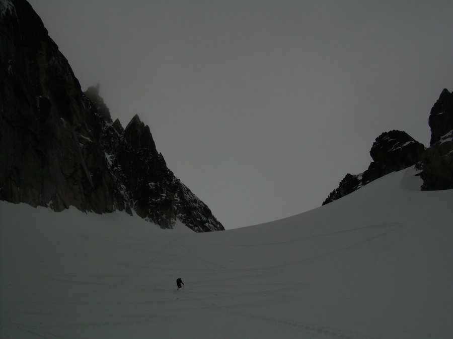
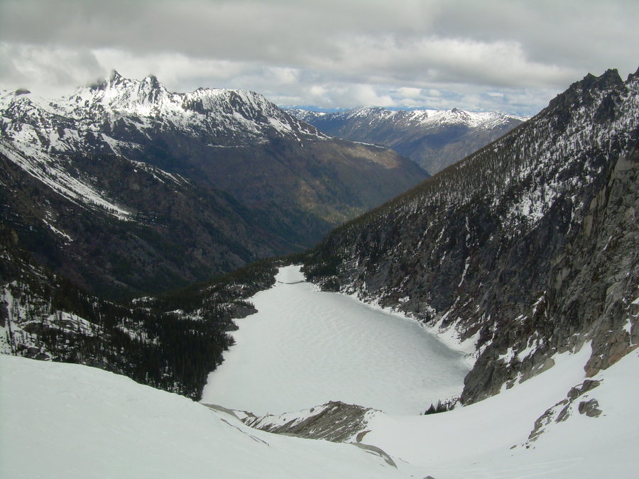
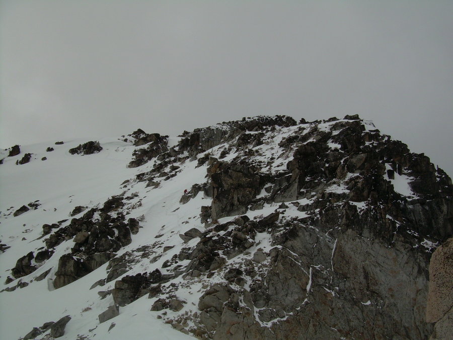
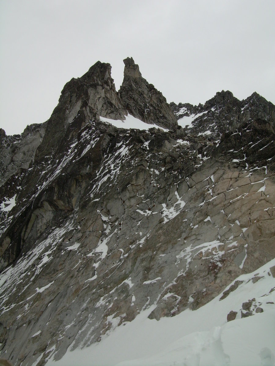
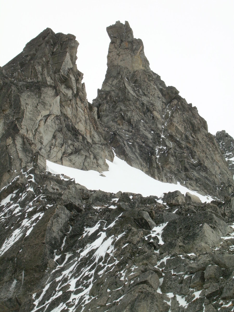
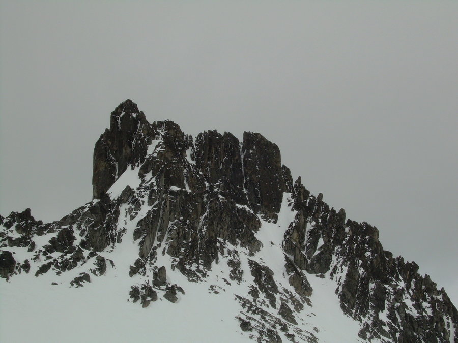
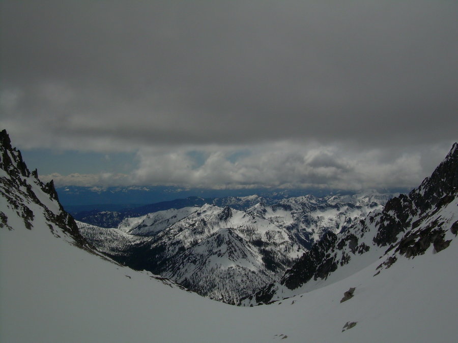
Golden Horn
26 miles of hiking • 5500' elevation gain • 1 night
New WA 100 Summit - 2 of 10 for 2014
Last weekend I finally had some free time and was able to get back out into the woods. We took the long easy way in via the PCT. (11) Miles - (2) Passes and countless switch backs before we finally arrived at our campsite. Snowy Lakes was our home for the evening and the North Cascades didn't disappoint. It was a beautiful sunset, followed by an early start and a great scramble up Golden Horn.
For pictures see below:
https://www.flickr.com/photos/28723827@N03/14845627417/in/set-72157646432559399/
August 23 – August 24, 2014


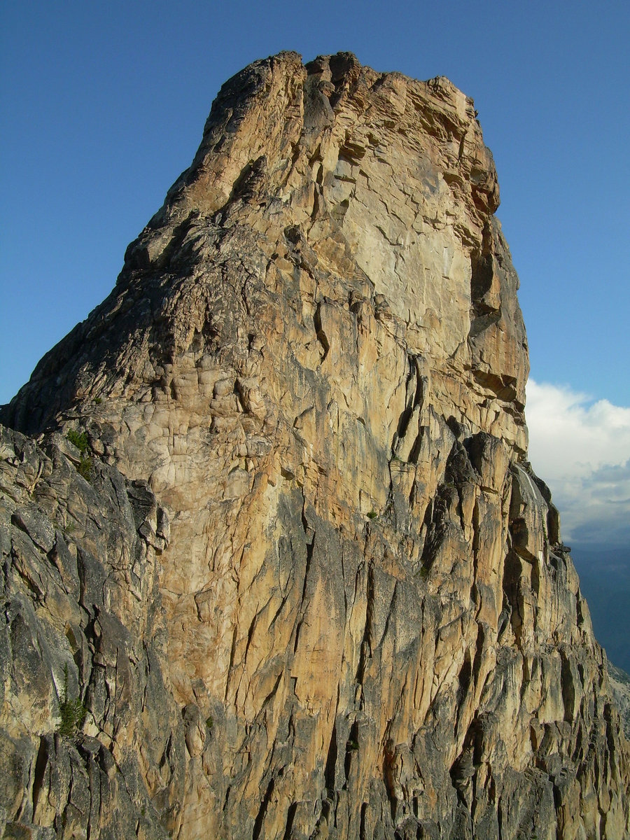
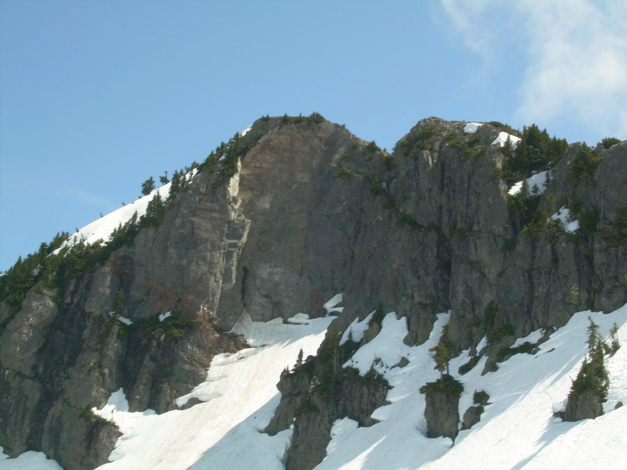
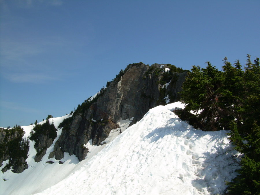
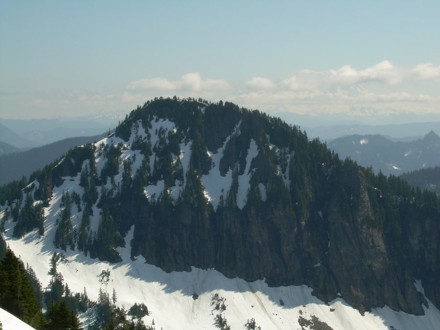
Scramble up some Peak Named Guye
3.5 miles of hiking • 2000' elevation gain •
Took some rookies up this fun little class 3 / 4 rock scramble on the South Rib of Guye Peak. We had a blast... this is such a great little scramble with little to no approach and it is close to home. We all worked in the morning and spent the afternoon under the sun !!!
August 2, 2014

Mount Si via Old Trail
8 miles of hiking • 3500' elevation gain •
Quick hike after work on Friday with Da Boyz. First time going up the old trail and it was rather peaceful. We were able to watch the sunset on the last day of spring. Time to Bring on SUMMER !!!! Happy Summer Solstice.
June 20, 2014
 1
1
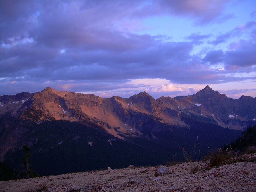
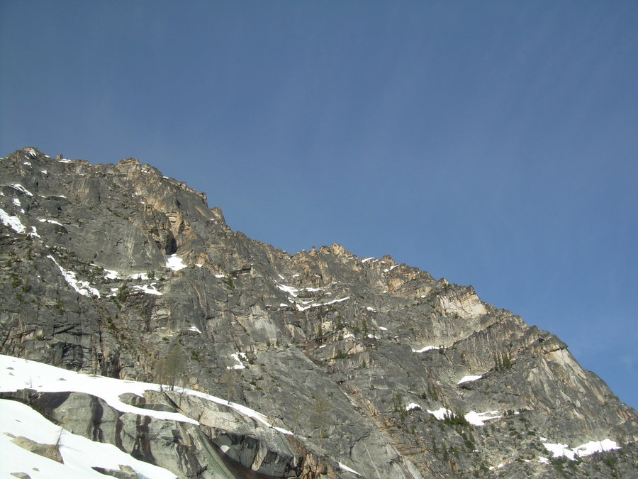
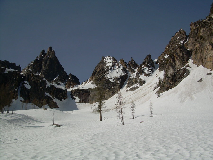
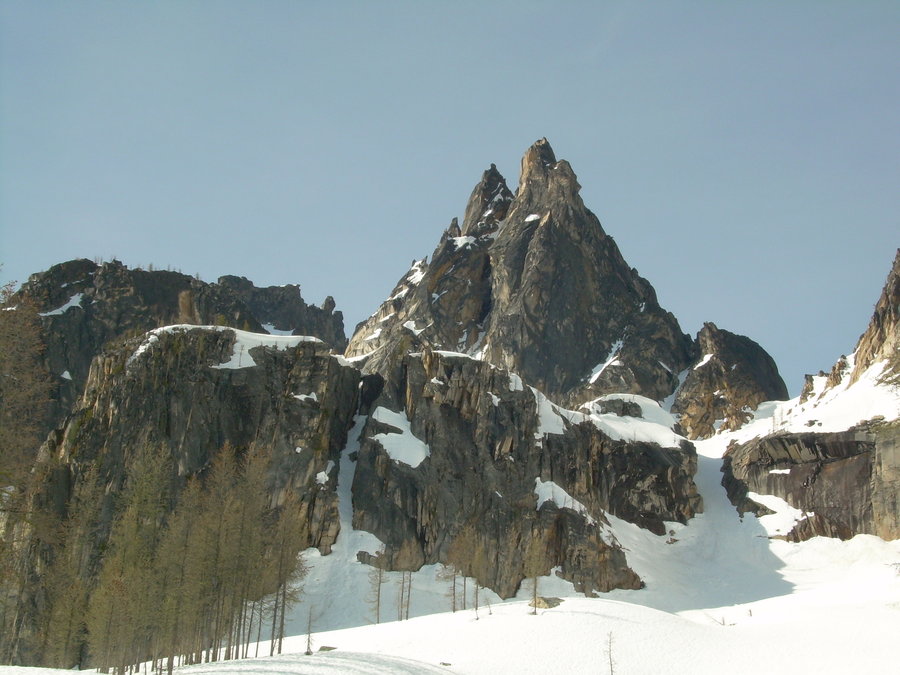
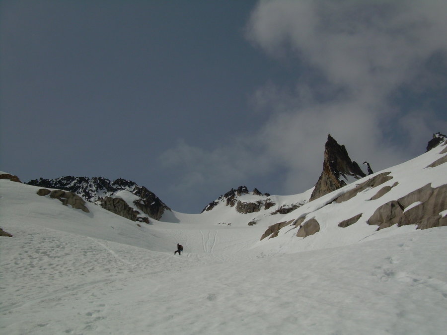
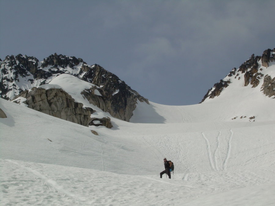
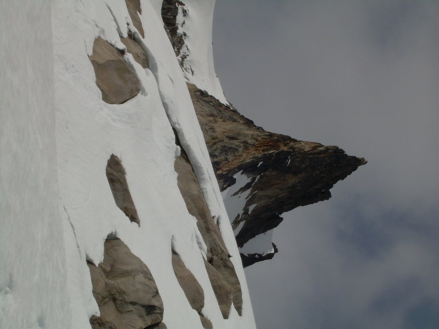
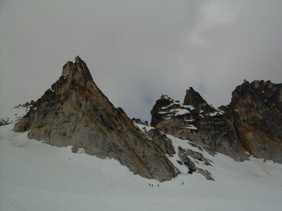
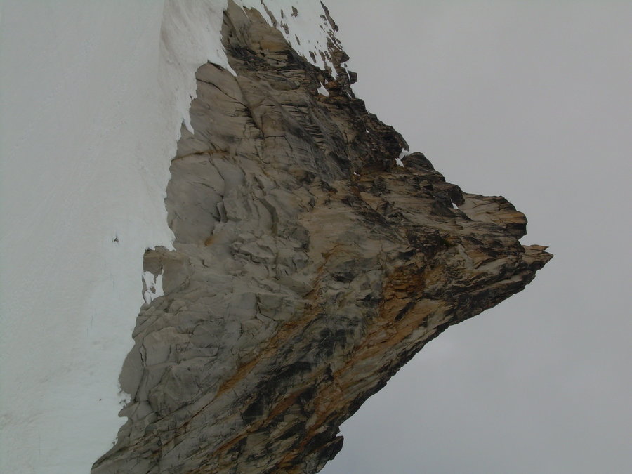
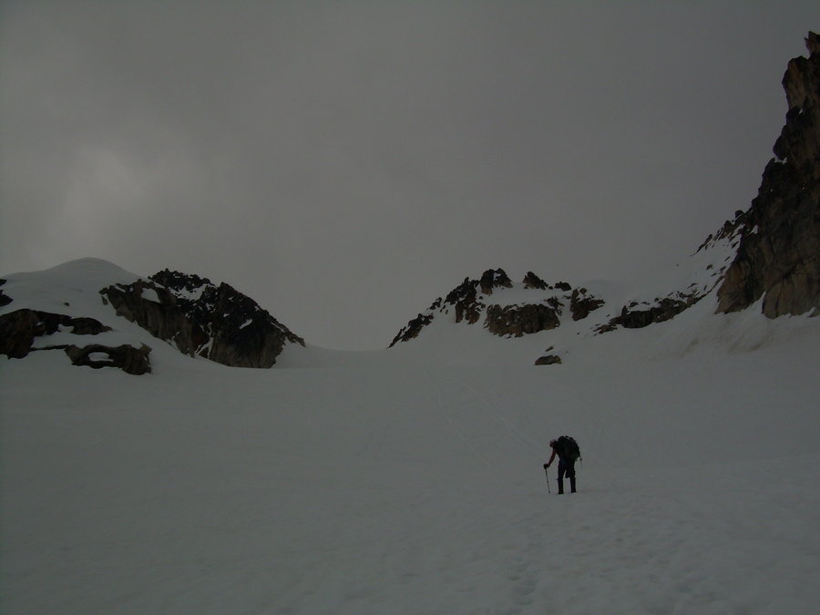
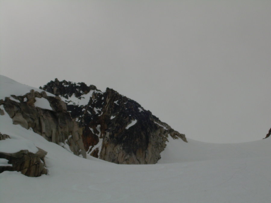
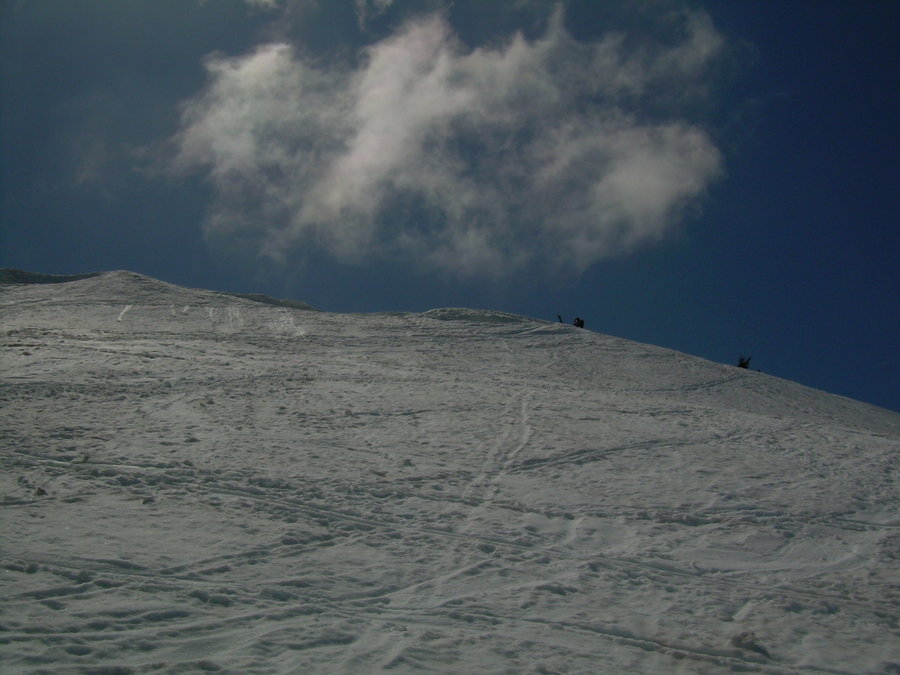
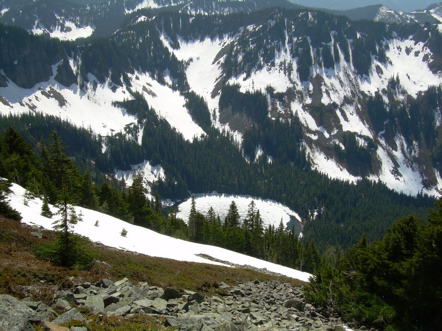
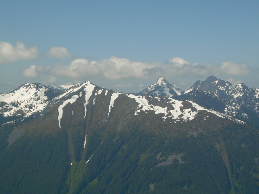
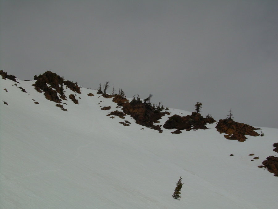
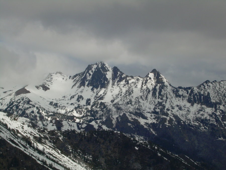
Silver Star Mountain - Silver Star Creek / Glacier
8 miles of hiking • 5500' elevation gain • 1 night
New WA 100 Summit - 1 of 10 for 2014
Hooked up with my buddy Jason for a nice overnighter. Made the mistake of hauling my ski's up with me. Turns out we were a few weeks late. I had read a report from May 18th and it looked like you would be able to skin most of the way after the first mile or so. At the trailhead I went back and forth on whether or not I should carry them.
The climbers trail is in descent shape for the most part, but there were a number of blow-downs that made for some interesting travel with Ski's strapped to my overnight pack. Just before the 1st clearing there were some nice slide alder trees that tried to pick a fight with me.... but I showed them who was boss. Once we hit the clearing I was hoping to see a giant snow field and bust out my skins. Boy was I mistaken..... I was greeted with a fantastic view of Silver Star, Burgundy Spire and a hillside of Bare Barney Rubble !!!
Luckily we ran into a nice couple that explained the conditions ahead and suggested that I ditch the Ski's and make camp at the next clearing by the creek. About 20 min later that is just what we did !! We weren't picky about our camp spot, it was already getting late and we just wanted to crash. We had gotten a late start from Seattle and needed to plan for an early start on Sunday.
We woke up at first light and got moving to go slay some alder. We carefully worked our way up the head wall and stayed in the forest to the right of Silver Star Creek to avoid as much of the bushwhacking as possible. Within a short time we hit continuous snow and began our long traverse over to the Silver Star Glacier. Many hours of slogging and we finally found ourselves at the top of the col. We fueled up and marched on up the ridge to the summit. The ridge provided some nice steep snow climbing over some big rocks. Which always makes things nice and spicy !!! Then we hit the last 50 feet and it was a nice class 3 rock scramble up to the top. The views were endless and the summit was full of a bunch of Mounties ! So we quickly snapped a few shots and off we went. There were plenty of glissade hills on the way back, which made for a quick descent.
After all that fun, we then had to deal with the slide alder again. This time we didn't want to go out of our way and navigate through the forest. We attacked it head on... and boy did it put up a fight. But in the end... we destroyed it and got out with a few only a few F-Bombs being dropped and some minor scratches. I said to Jason "I am so glad that I left my ski's at camp....ohh crap I still have to carry those things down (insert one last F-Bomb)"
The hike out was long and about as bad as I thought it would be, but we made it and I finally got my 1st WA 100 for the year. After a couple failed attempts on some other peaks earlier in the season, it was nice to finally get one checked off.... Only 9 more to go !!!
June 7 – June 8, 2014


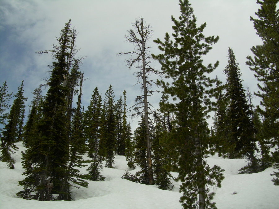
Silver Peak Basin
2 miles of hiking • 1750' elevation gain •
So I finally got around to checking out what all the hoopla was up on Silver Peak.... and it didn't disappoint. I was able skin up from where I parked and enjoyed nice turns all the way down. There were only a few sections towards the bottom where I had to carry my ski's for a few hundred feet. It is melting fast and I am glad that I was able to squeeze this one in. Got a late start yesterday and there wasn't enough time to run any laps, but I plan on making this an annual tradition for sure !! Hopefully next time I will be able to meet the King of Silver Peak "Mr. Silaswild".
June 1, 2014


Afternoon Tour up Alpental
1 miles of hiking • 1250' elevation gain •
After dealing with a leaky water heater and a repair man having to come out on Saturday..... My holiday plans for the weekend were shot. I decided to do some yard work for a few hours and then realized that the clouds were actually clearing and there might be a chance to chase down some sunshine after all. Since I already had my ski gear packed from a couple failed attempts of leaving work early this past week. It was a no brainier to run up to Alpental and see how high I could get before needing to drop in. Little did I know that I would be enjoying the best turns of the season so far. I had a blast and ate my fill of some sweet corn !!! Coverage is getting thin down low, but I will be back before it is all gone !!!
May 24, 2014

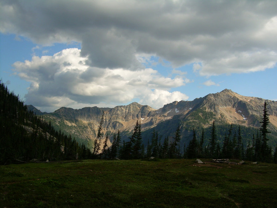
Touring in the Teanaway
9.5 miles of hiking • 4750' elevation gain • 1 night
Took a much needed day away from work and met up with my buddy Theo for a quick overnighter. With a questionable forecast in the N. Cascades we turned our attention to the Teanaway area. Mostly clear and no chance of rain seemed like a good way to spend our first camping trip of the year. Turned out to be a great idea and we even found some corn !!! This was the first trip that I have actually had to carry my skis and lucky me... I had a full pack with camping gear to go along with it as well !!! The actual weight of the pack with skis didn't seem too bad though. I have carried worse that's for sure.
We had a great camping spot right in the middle of Navaho and Earl. It offered us 2 days of touring straight from camp. The skinning conditions were great and we were able to cover a lot of ground. The turns up high were very nice and lower down was a bit sloppy. Everything is melting out fast... so get up and get some while you can.
May 16 – May 17, 2014


 1
1
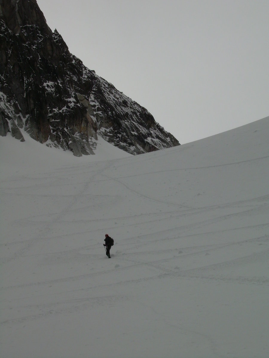
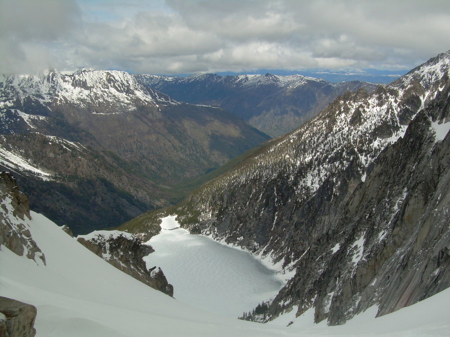
Colchuck Glacier
10.5 miles of hiking • 4750' elevation gain •
Made an attempt on Dragontail via the West Ridge and got stopped short due to some back spasms. The dragon has eluded me once again..... but I will be back to slay this beast !!!
It still ended up being a nice day out and I got to enjoy some really nice glissades. Almost 2,500' in 15 min. The lake crossing was a little nerve racking later in the day, but it is always nice when you can walk across Colchuck Lake.
The road is open all the way to Stuart Lake Trail Head. The trail is full of blow downs within the first mile. After that it is in great shape and there is a nice boot path all the way up to the lake. The lake is still frozen, but thawing fast.
May 10, 2014


Skinning 101
1 miles of hiking • 1000' elevation gain •
Took my touring gear out for a test run today. It felt great to be skinning up the mountain. Can't wait to keep practicing and improve on my technique. The ski down was enjoyable as well, but I need to get more time on the slopes. Up until February of this year, it had been about 20 years since I last strapped on some skis. So glad that I invested in a touring setup over the splitboard.
April 26, 2014

Some Peak named Guye
5 miles of hiking • 2250' elevation gain •
Woke up Easter morning and heard about some fresh snow... Checked the avy conditions and it looked like they posted a special bulletin for the weekend. We had originally planned on doing the East Gulley, but given the conditions we made a backup plan just in case. After watching stuff pinwheel off the East Face during the approach, we decided to play it safe and climb the East Ridge from the saddle of Cave Ridge. It was an uneventful slog, but the weather was nice and it felt great to be out tromping around in some fresh pow.
April 20, 2014

Granite Mountain - Friday Night Hikes
6 miles of hiking • 3750' elevation gain •
With a nice forecast over the weekend, I decided to be responsible and do some yard work around the house. Wait a minute......shouldn't I be climbing ??? Yes, but how I am going to fit this in and still be responsible ?
Well I decided to leave work a bit early on Friday and not be sooooooo responsible after all !!!!
The original plan was to do Mount Si, but after TAH and few others bailed out on me. I changed my plans and set my sights on Granite Mountain. At first it was a typical spring climb up Granite. Then I hit the 1st Chute and things changed. I could see all the left over debris from the Avalanche that occurred on March 22nd and took the life of a local skier.
I evaluated my options and found a safe path just to the right of the chute. It was a mix of scrambling and kicking steps in patchy snow. As I got higher up on the mountain, I could see the impression of the crown that broke off during that slide. It still looked like there was a fair amount of snow sitting above that area.... definitely something to keep your eye out for if you are heading up there anytime soon. With temps on the rise it is probably best to stay clear of the chute and stick to the winter route up the west ridge line.
As the light faded away, a beautiful sunset greeted me just as I crested the ridge. I sat down and got fueled up for the final push to the lookout. When I reached the lookout, the sunset was fading and the sky was now lit by the almost full moon. The moon was so bright, I didn't even need a headlamp for my descent on the upper portion of the mountain. Once I hit the trees it was time to shine some light and slog out. All and all a great trip to head into the weekend !!!
April 11, 2014

Mailbox Peak
5 miles of hiking • 4000' elevation gain •
Went up to Mailbox looking for signs of The Angry Hiker, but nothing was there to be found. That must mean we have 6 more weeks of winter !!!!
Felt great to get my 1st Summit of the year out of the way. Dragged my buddy Tom Bomb up the mountain. He was grumpy when we first started, then he warmed up and started kicking it into gear. Once we busted out onto the meadow he thought the end was near.... although he didn't realize there was a false summit. Queue up the profanity... I only heard him once say that he was never hiking again with me again, so it couldn't have been all that bad. Once he got to the top and was rewarded with the rip roaring view of I-90, there was nothing but smiles.... But even that was short lived. About half way down he was grumbling and ranting about being done with the snow.
Ahh gotta love Mailbox... It really lays it all out there and lets you know how good of shape you are in for the upcoming season !!!
Cheers to Tom Bomb !!!
March 22, 2014

Cougars, Tigers and Squaks... Oh-My !!!
10 miles of hiking • 3000' elevation gain •
This trip report is going to capture my other training outings that will take place on either Cougar / Tiger or Squak Mountain.
.....................................................
March 15th: With the avalanche forecast on the rise and questionable weather. My buddy Jason and I opted for a conditioning hike. We ended up trekking around cougar mountain which eventually led us to meeting up with one of my good old friends L-Train. It was great to see him and hike with his family. We stayed with them for about 2 miles before parting ways. Overall it was a great day with intermittent rain and sun breaks. We got about 3.5 miles of adventure running in and some good uphill slogging.
Stats for the Day: 10 miles and 3,000' of elevation gain. (Estimated time 4 hours)
March 16, 2014

Poo Poo Point Training Runs
19 miles of hiking • 8500' elevation gain •
This is going to be an ongoing entry that will capture my stats as I begin to train for this summer. It will continue to grow in mileage and elevation gain. It will also include times / dates and a few notes.
The stats for this hike are as follows:
3.8 Miles Round Trip w/ 1,690' of Elevation Gain. This is the Chirico Trail to Poo Poo Point.
..........................................................
Jan 4th - Estimated time 2 hours. Went up with my good friend Randy and spent sometime on top and enjoyed a blue bird day with lots of sun.
................................
Feb 8th - First official timed run up the poo this year ( 1:50:20 ) Felt a little sluggish after a good night of drinking and taking in the Jerry Seinfeld show. Was happy to get off the couch and squeeze this in before the snow storm though.
................................
March 8th - After a couple solid weekends of snow and great skiing. The rain has returned !!!! We were able to squeeze in a quick little run up da poo before it hit though. Had a great time out with Erikka and TAH. Our estimated time was (2:05).
................................
March 13th - Now that we have sprung forward for daylight savings, we had our 1st opportunity to squeeze in an after work Poo Poo run. We had the whole gang up there and even hit a few golf balls from the tee box. Official time for the group (1:47:47).
................................
June 29th - Mayumi just got back from her wellness retreat and wanted to do a hike. She had never been up poo poo, so I thought it would be a good test for her. She pushed herself hard and made it to the top. I was soooooo proud. We took Keetaan and Mindy with us. It was a great day and I am looking forward to more trips with her this summer =)
February 8, 2014

Snow Lake Divide
7 miles of hiking • 2500' elevation gain •
Nice early season trip with TAH. Took advantage of the high pressure and inversion that set in for almost 10 days. Very cold and icy in the morning, but the higher we went the warmer it got. Snow was bullet proof and made for quick travel. Really low snow levels this year.
January 18, 2014
