

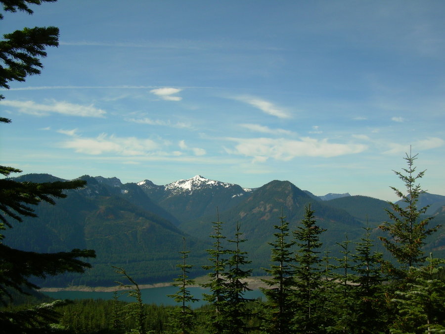
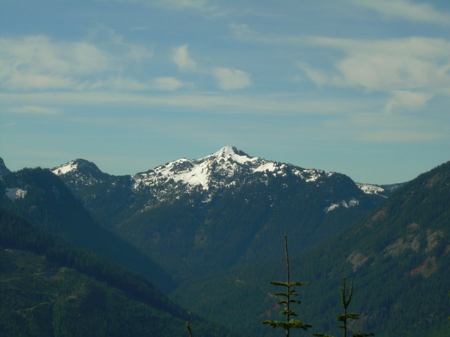
2013 Trips


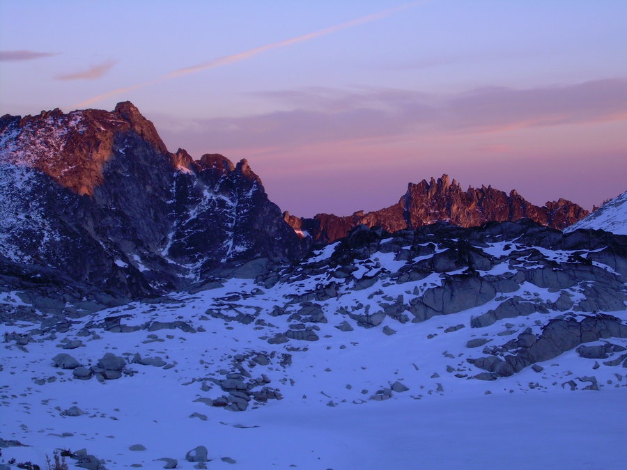
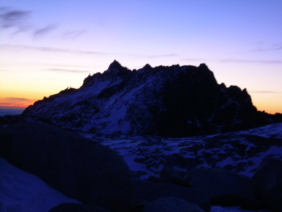
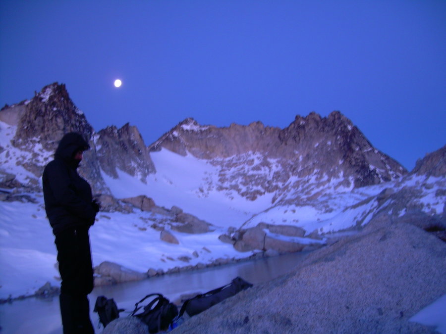
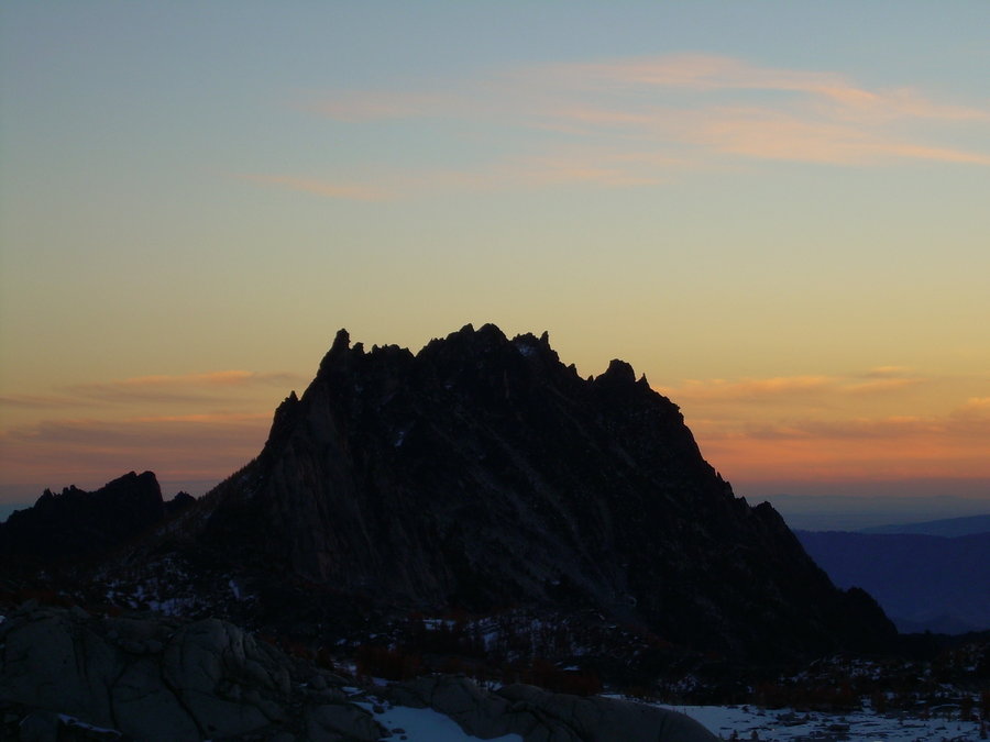
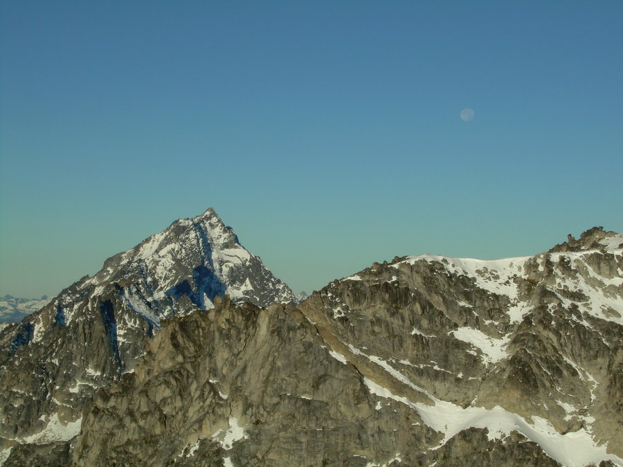
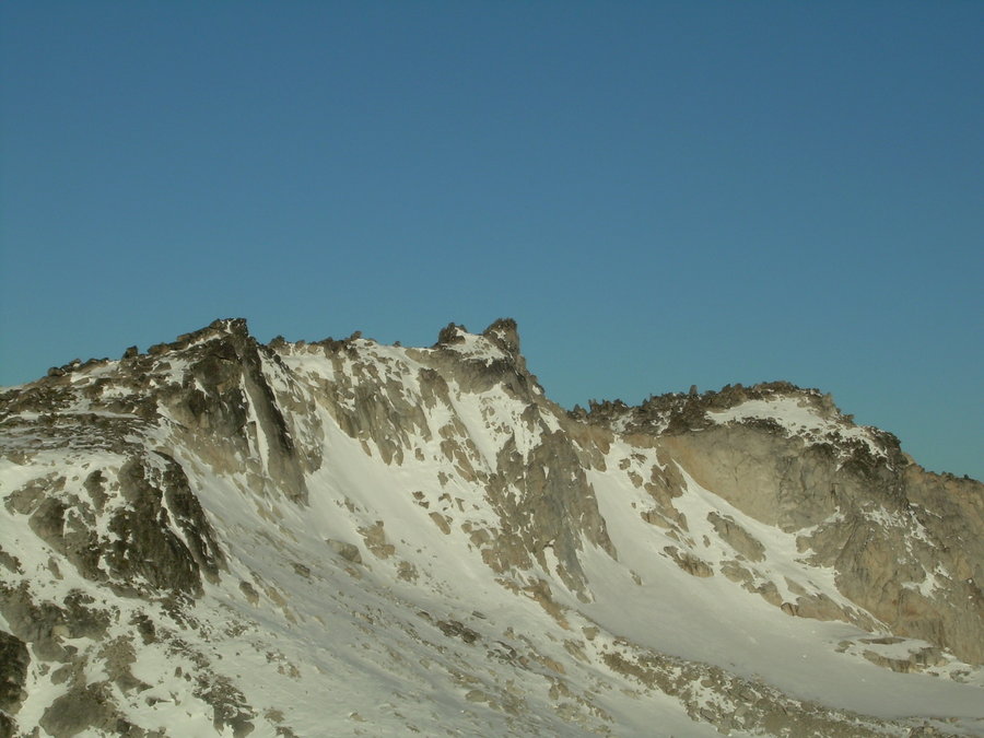
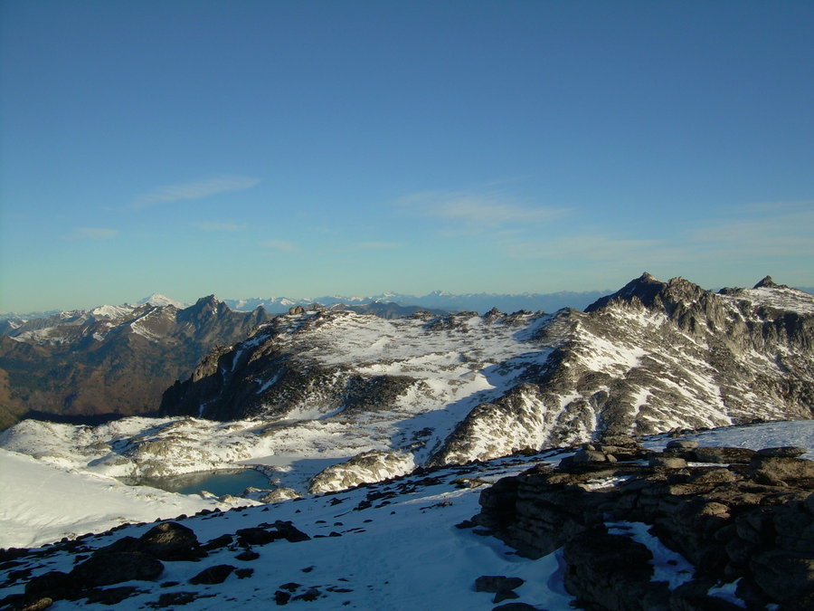
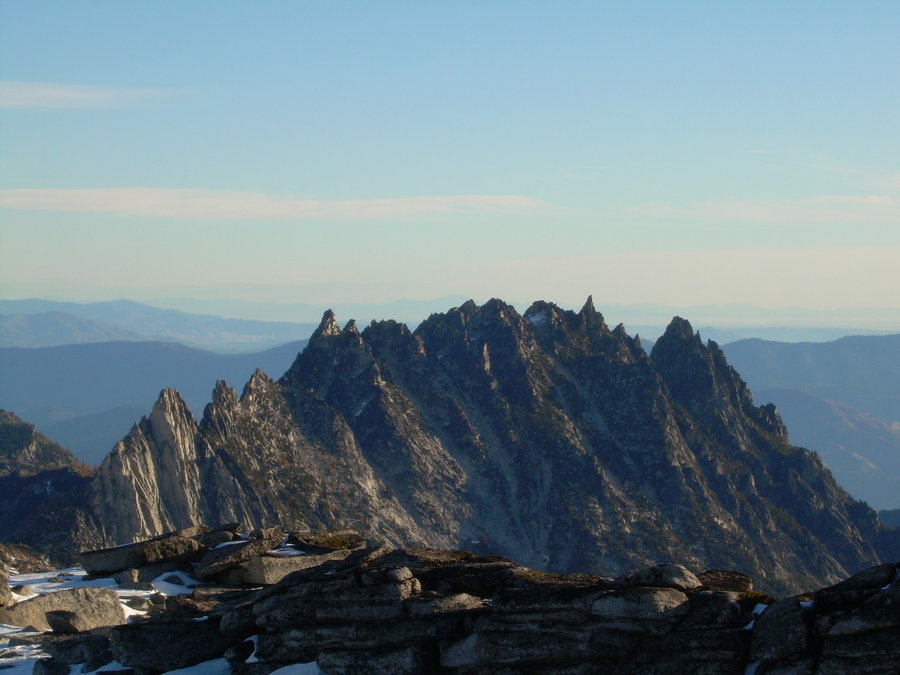
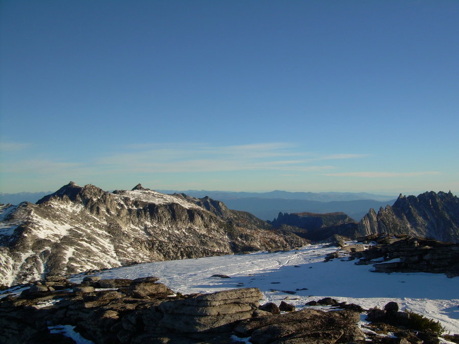
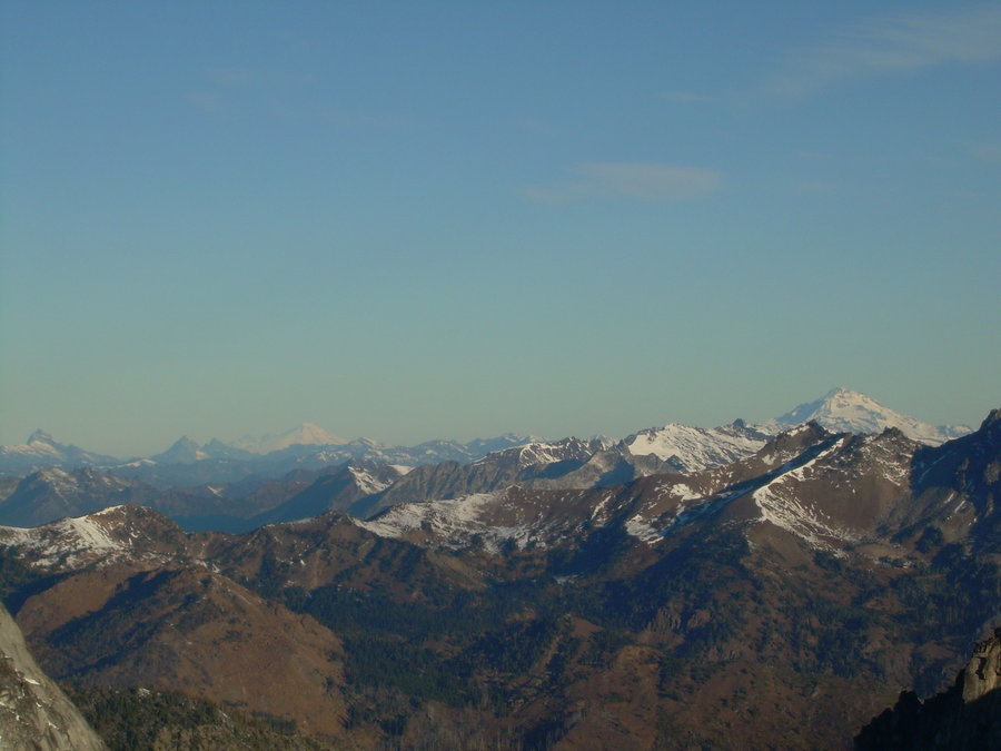
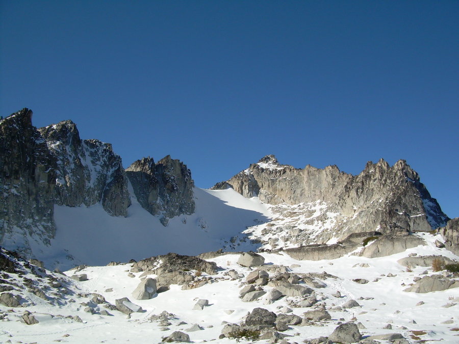
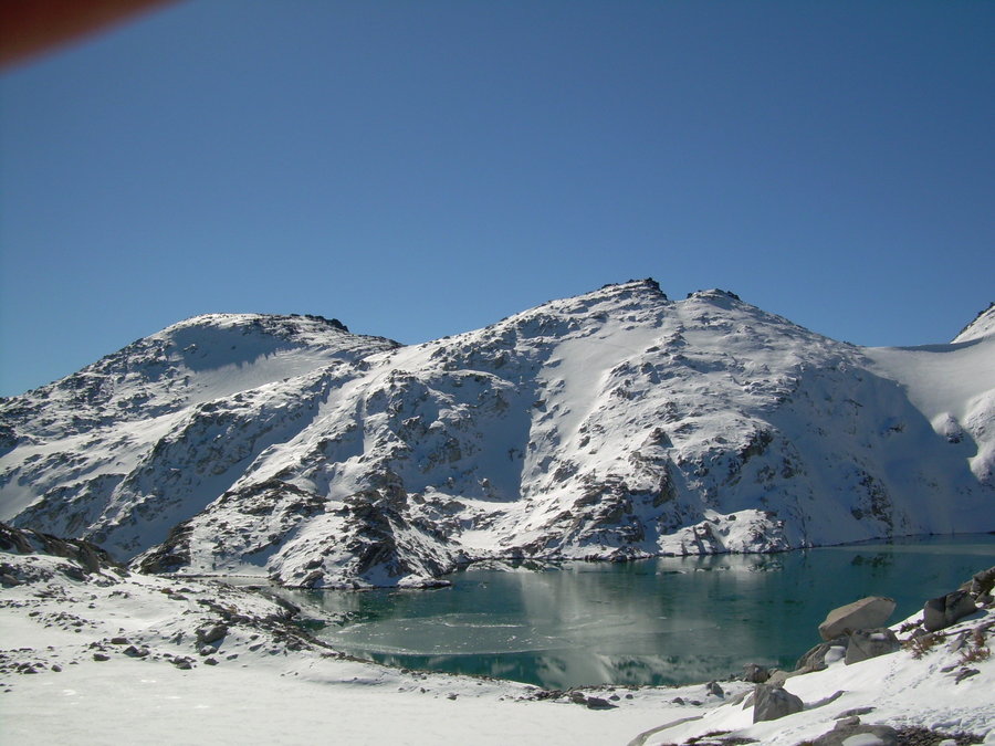
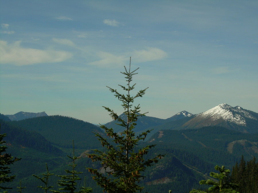
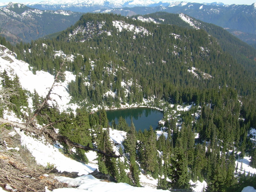
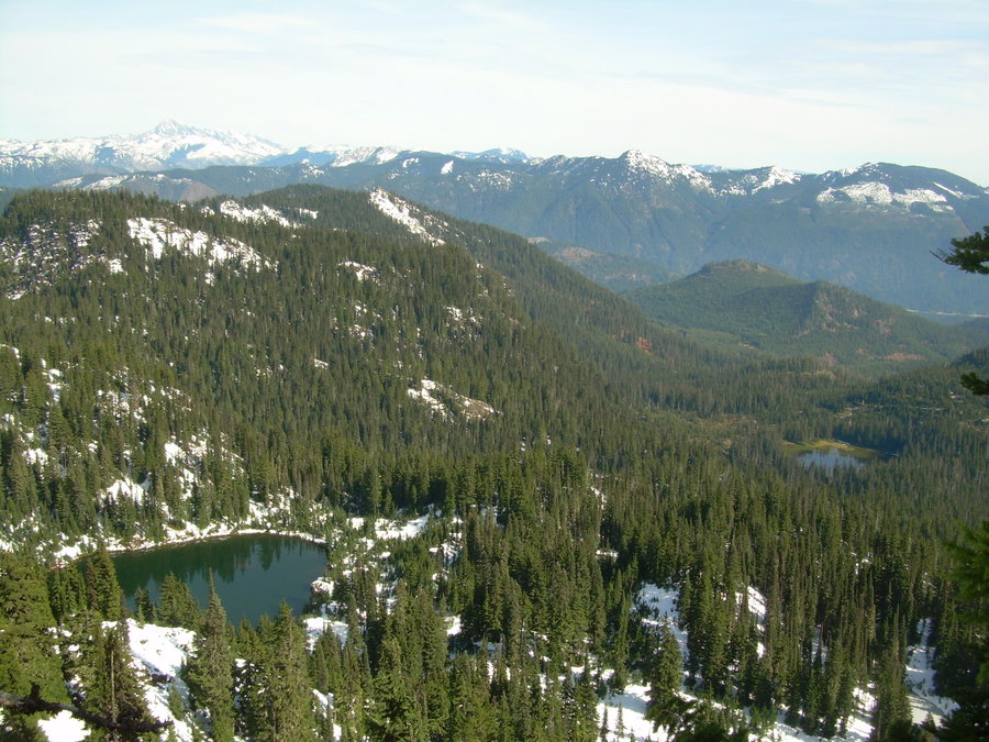
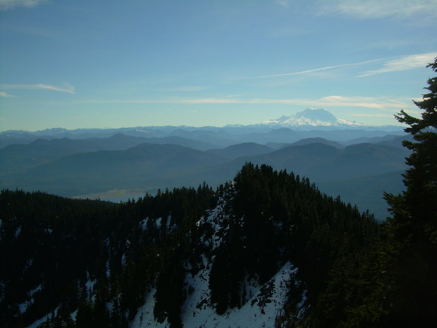
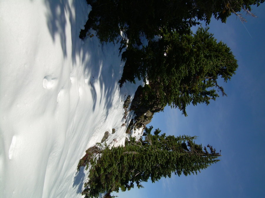
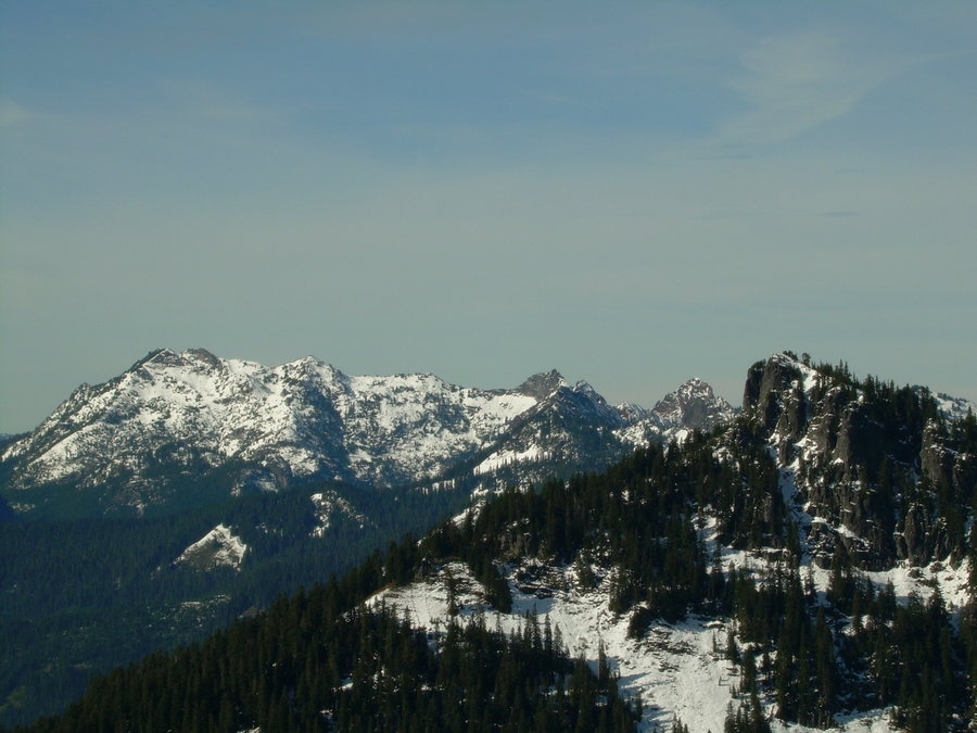
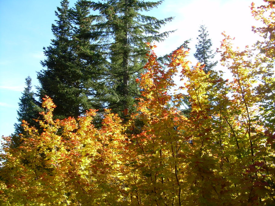
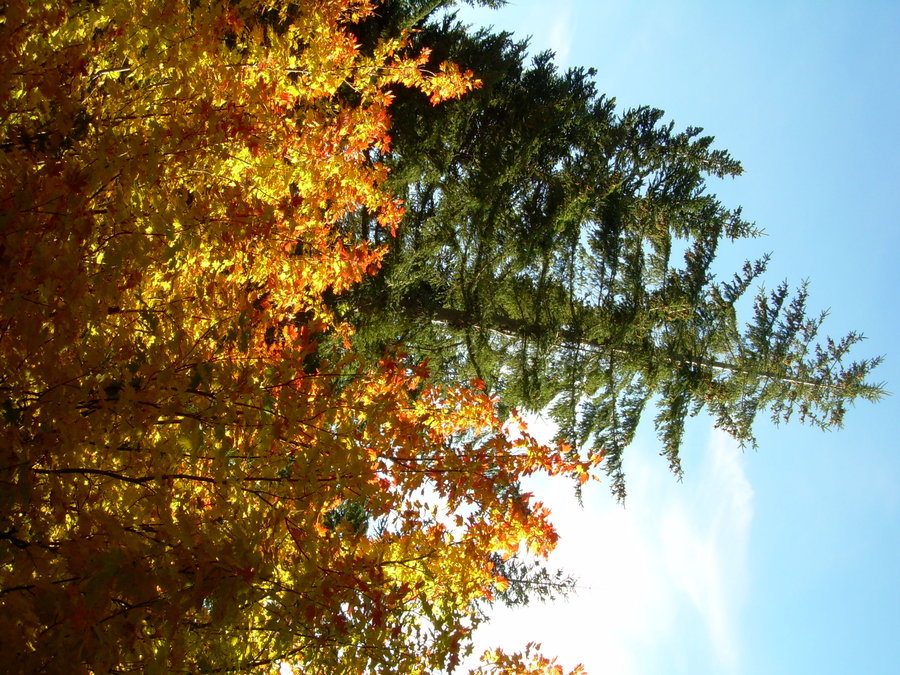
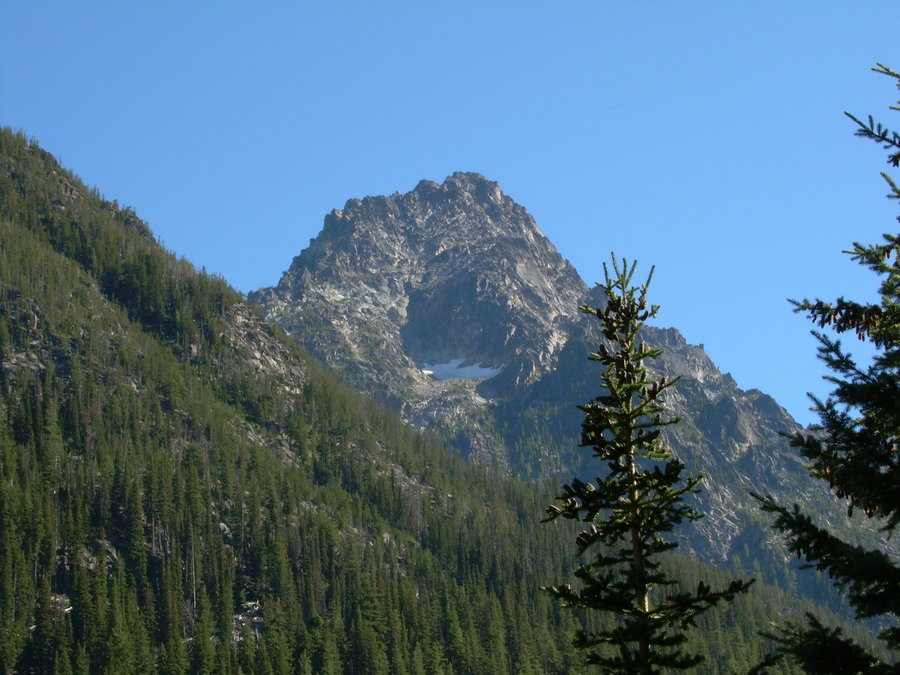
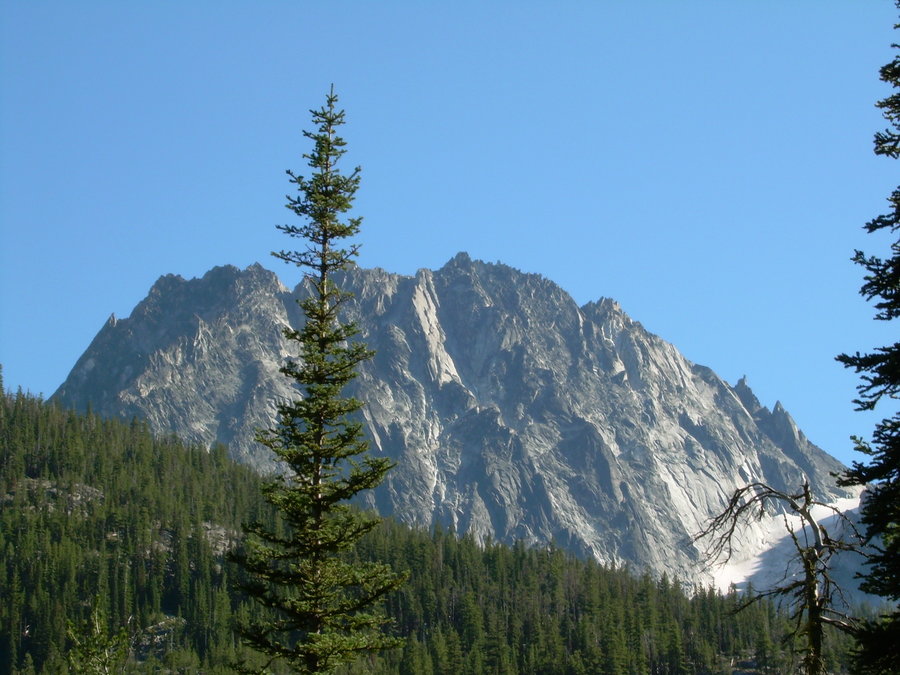
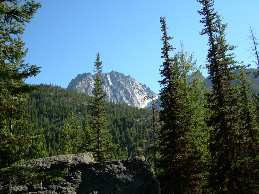
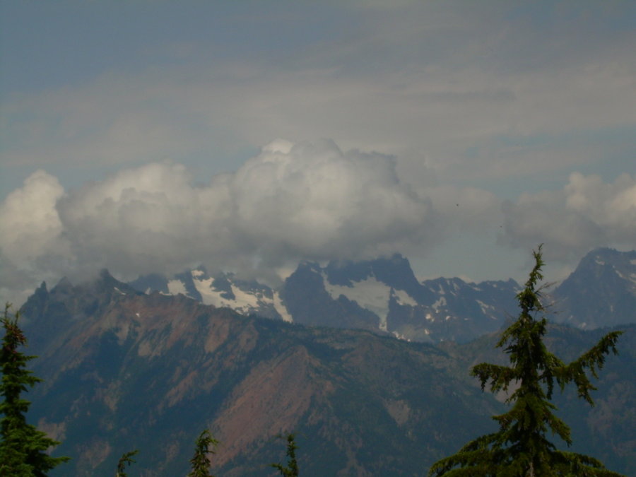
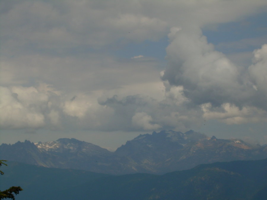
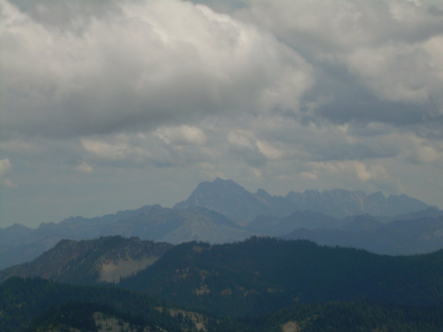
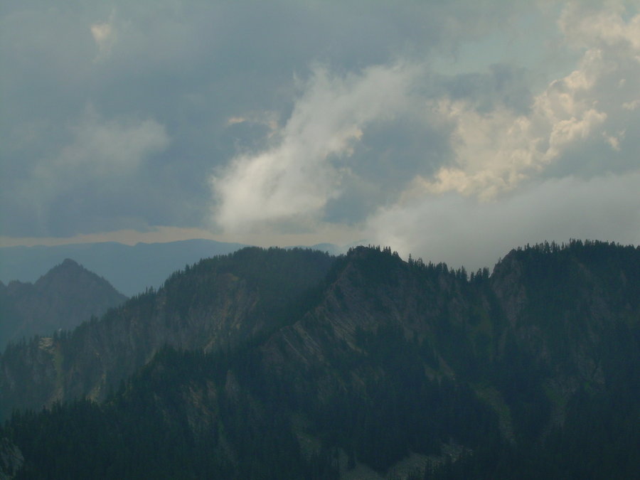
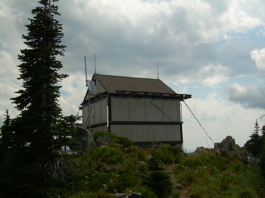
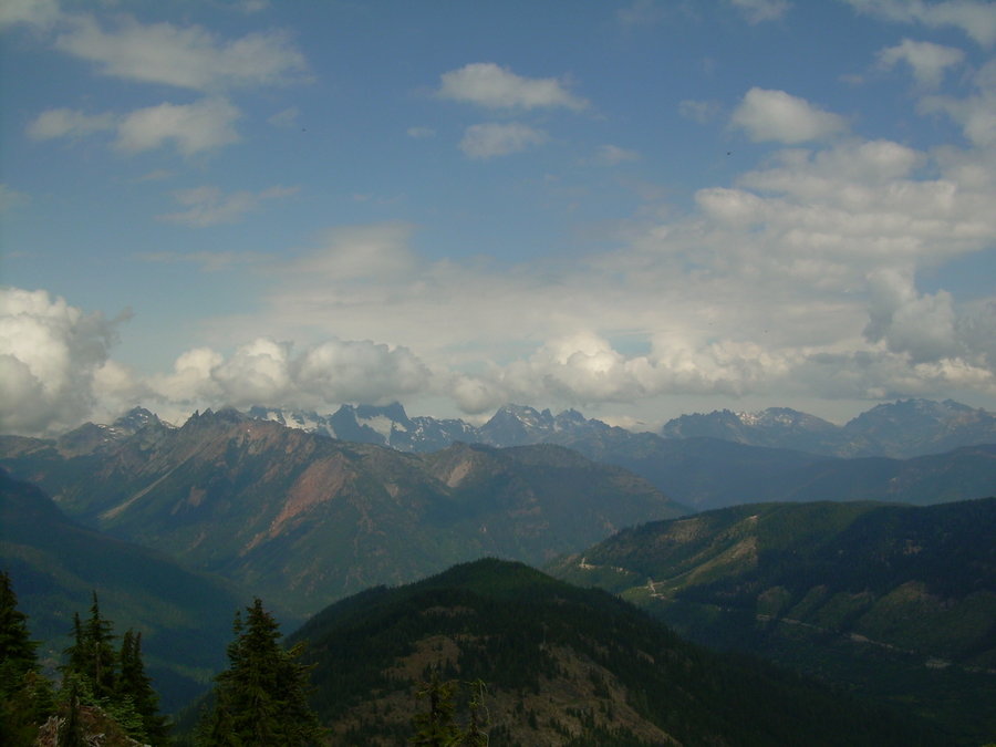
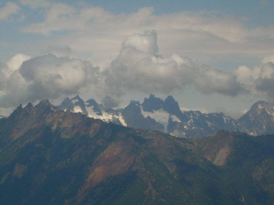
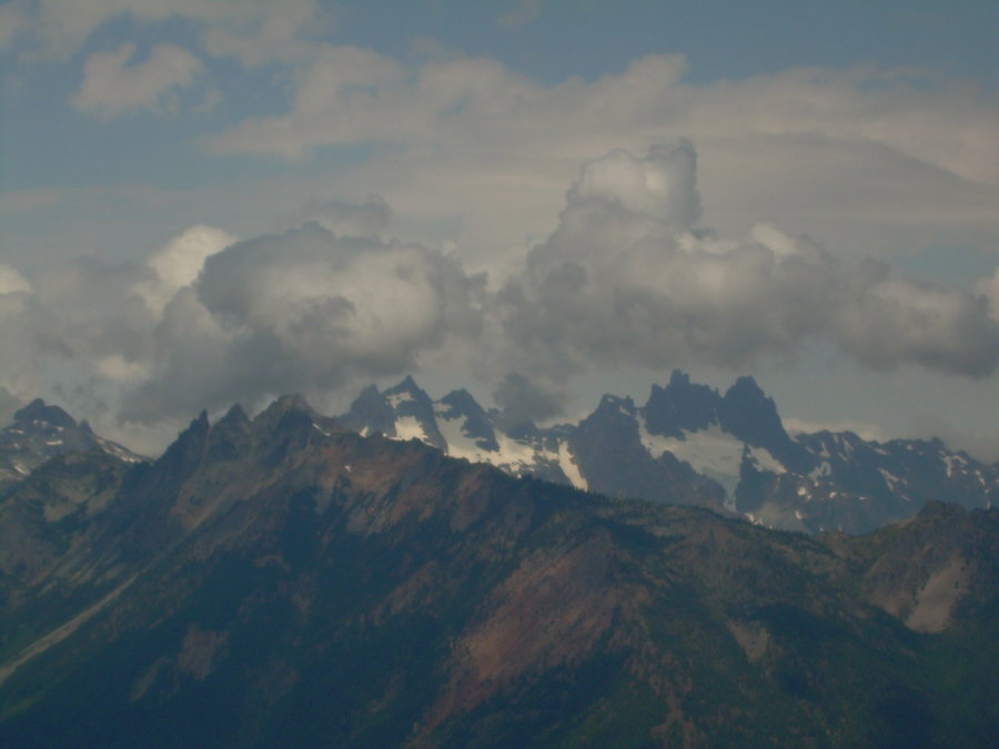
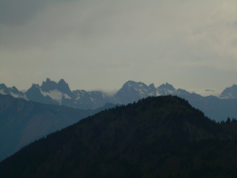
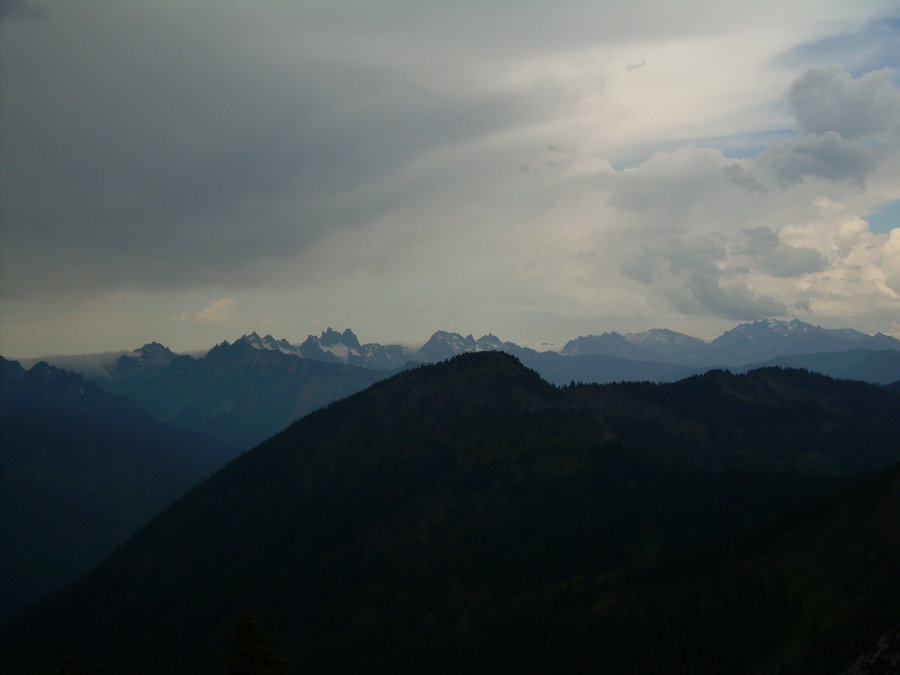
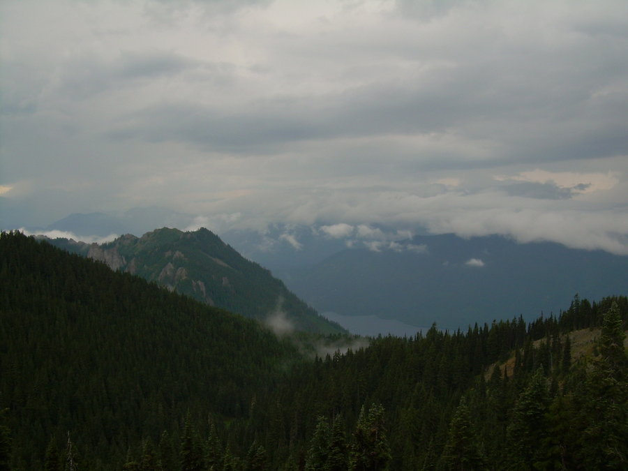
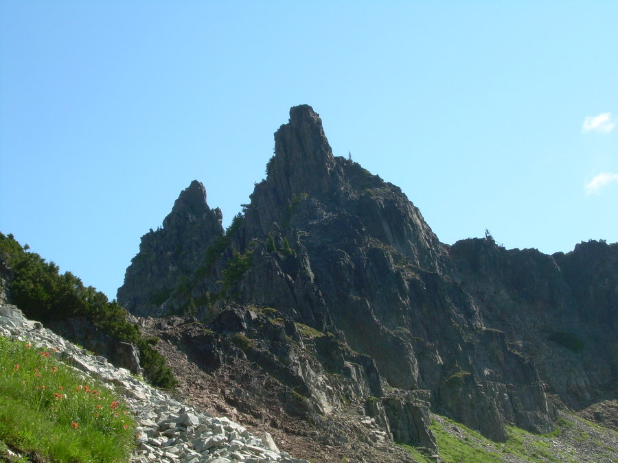
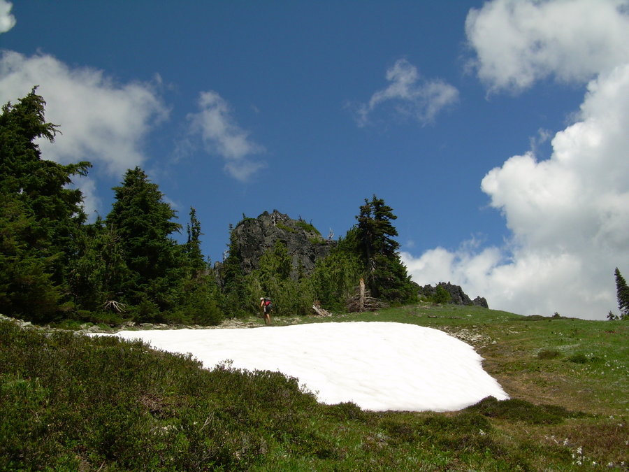
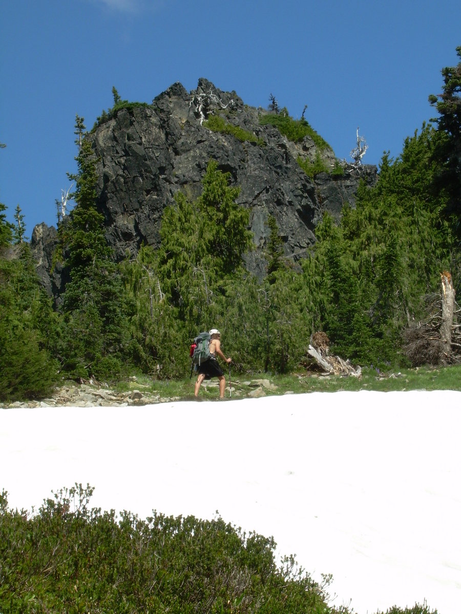
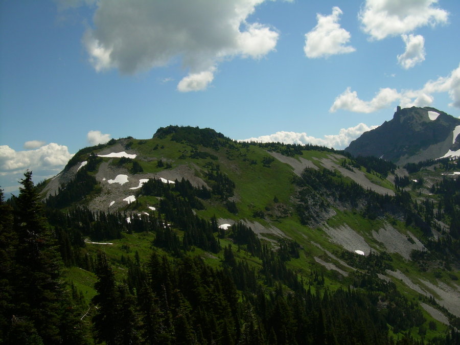
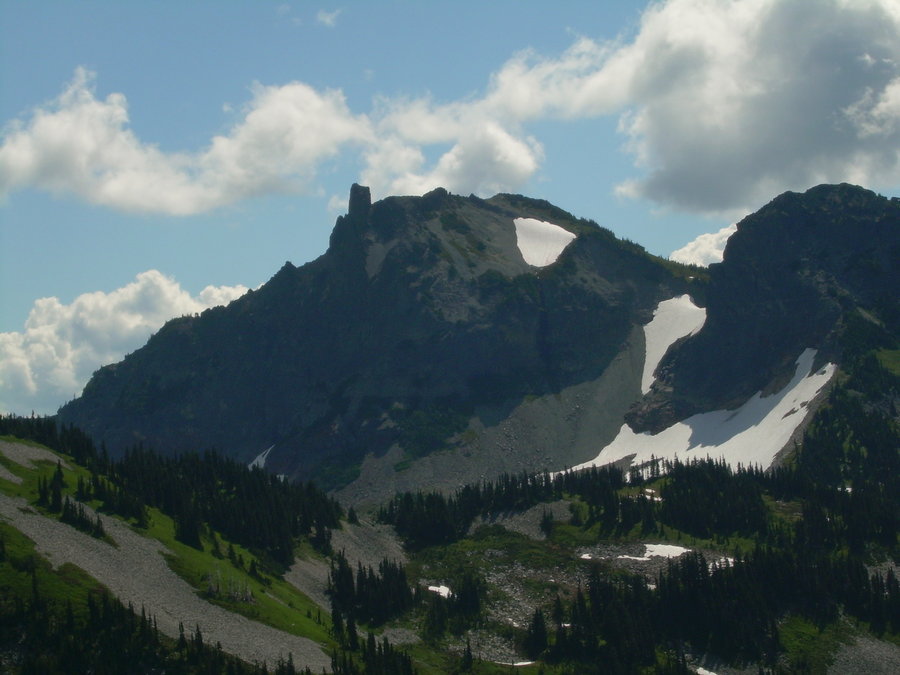
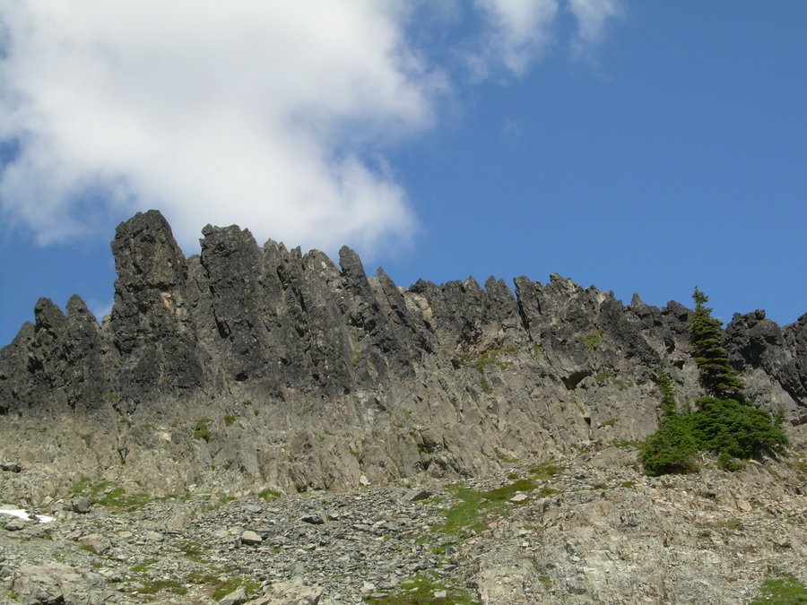
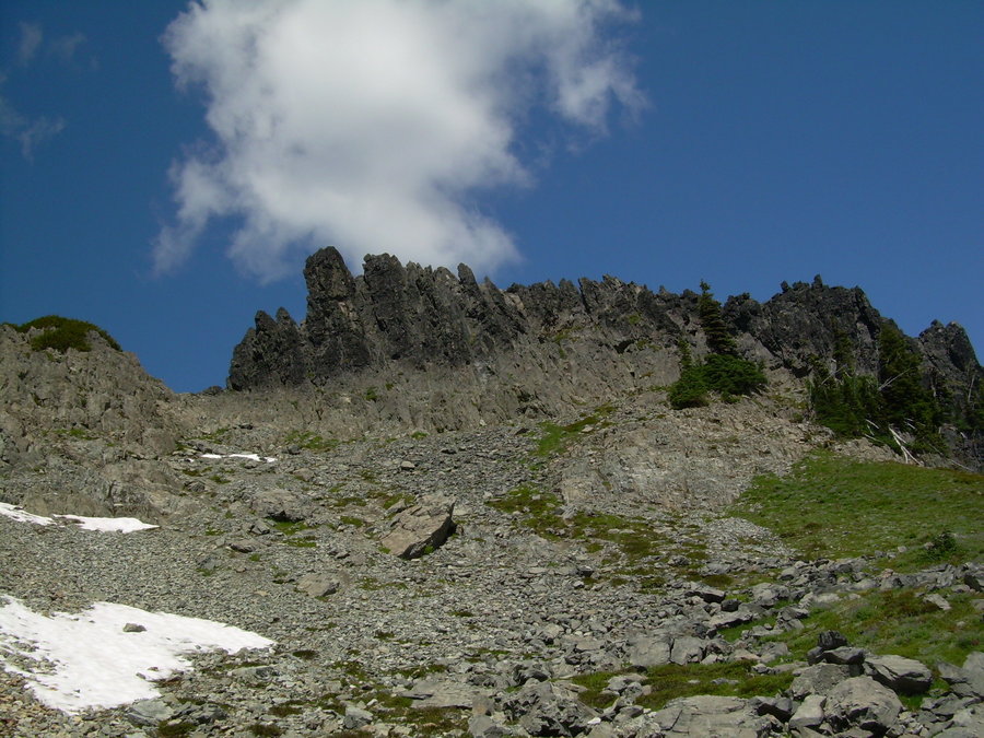
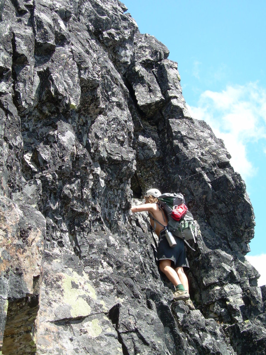
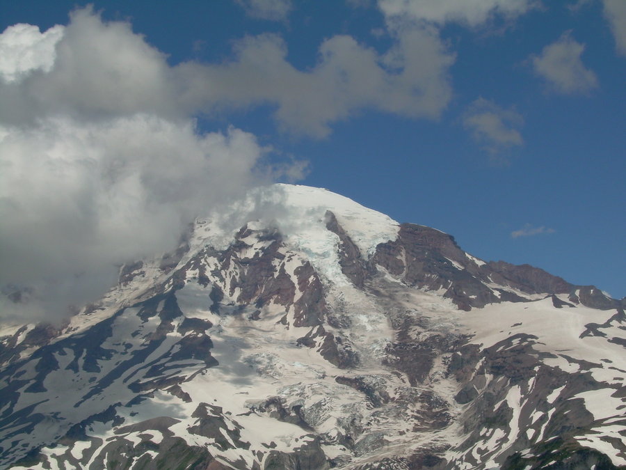
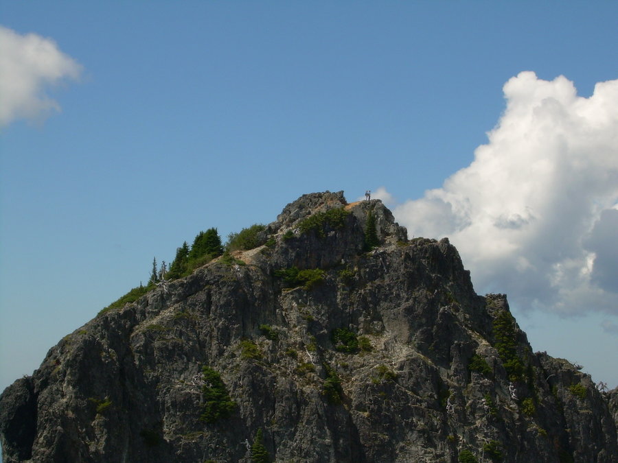
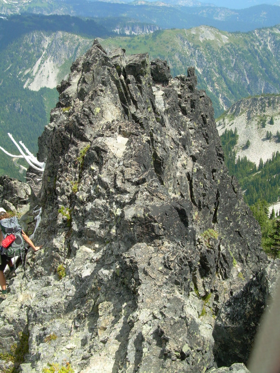
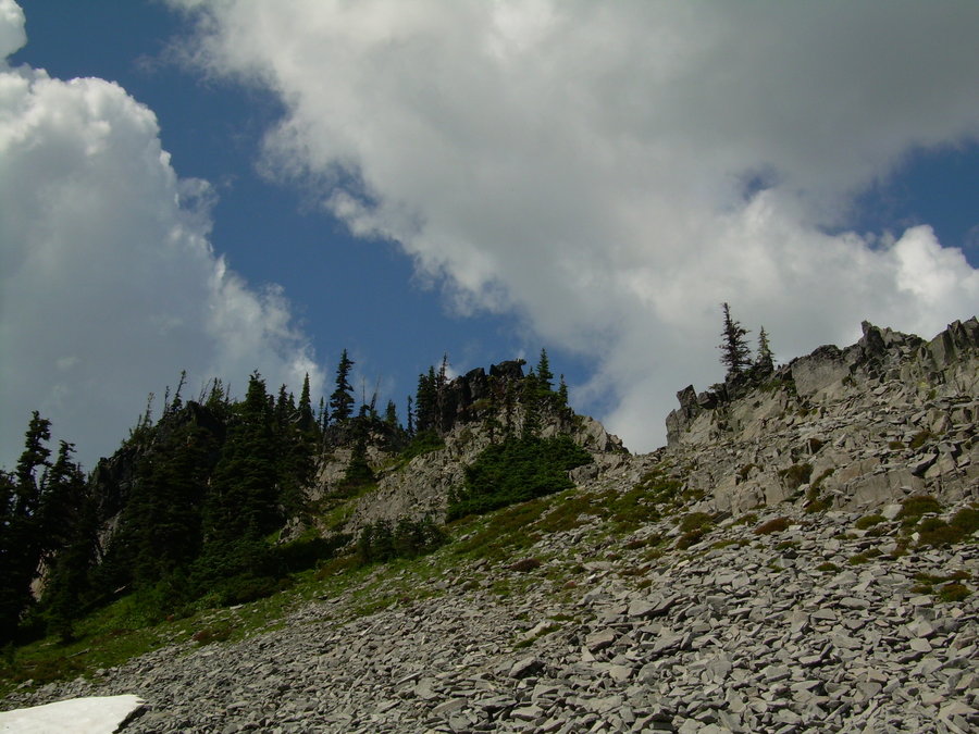
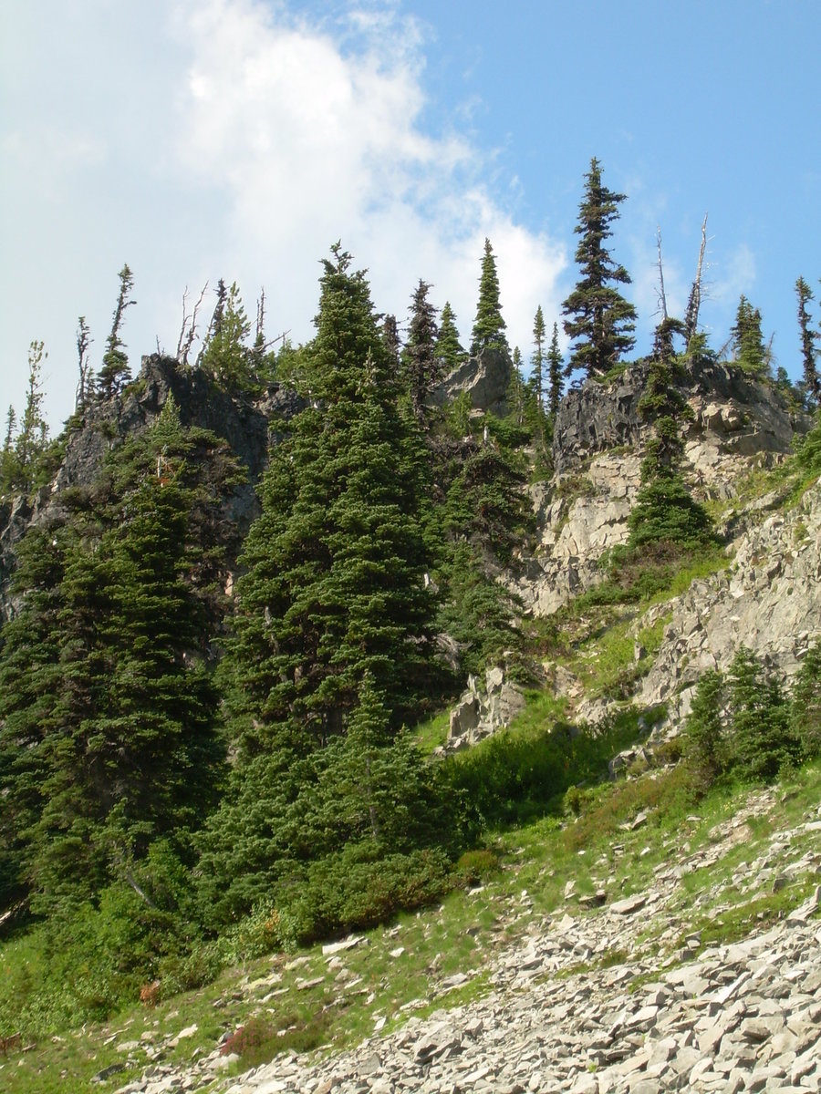
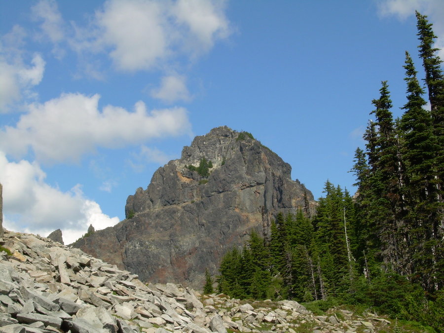
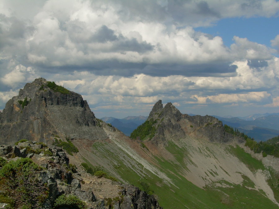
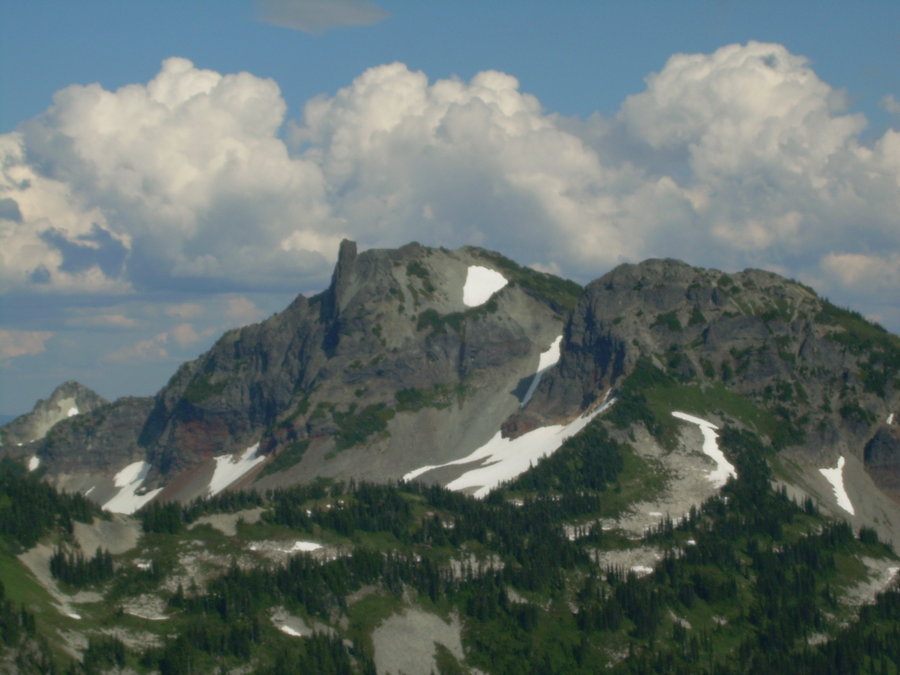
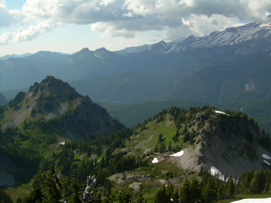
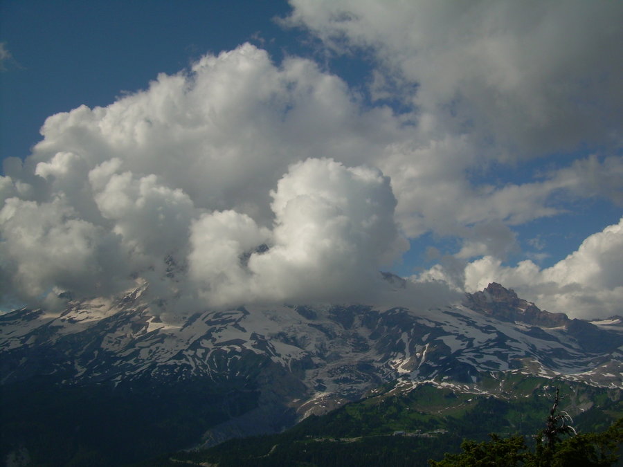
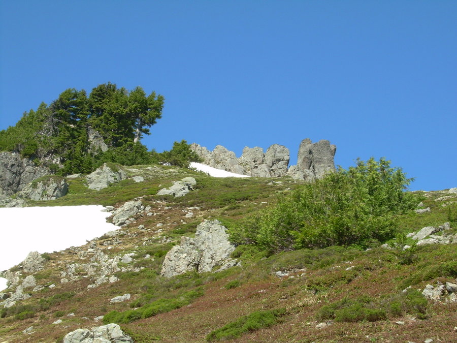
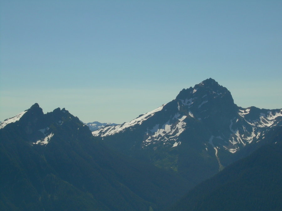
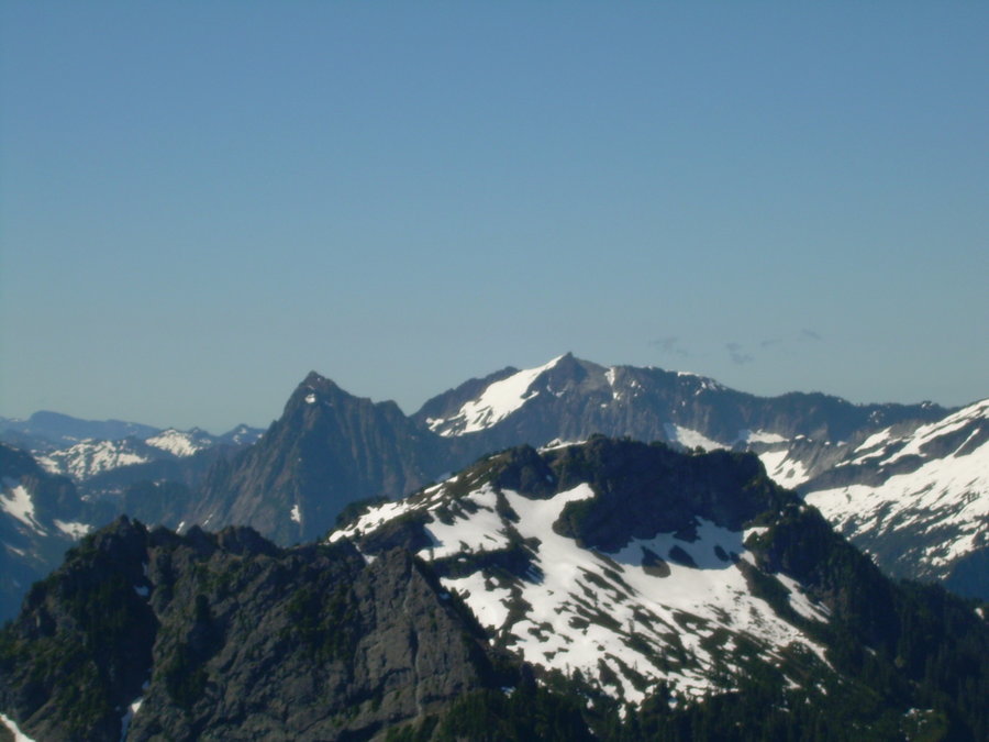
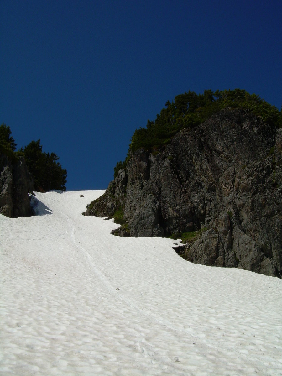
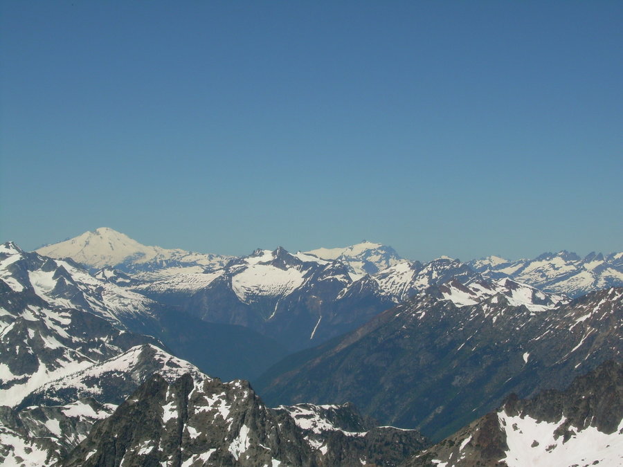
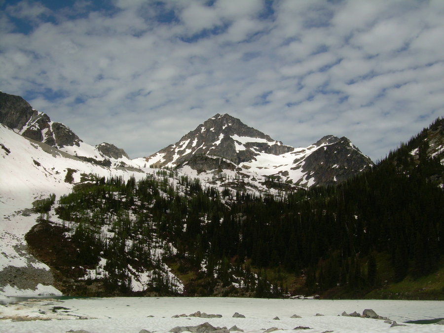
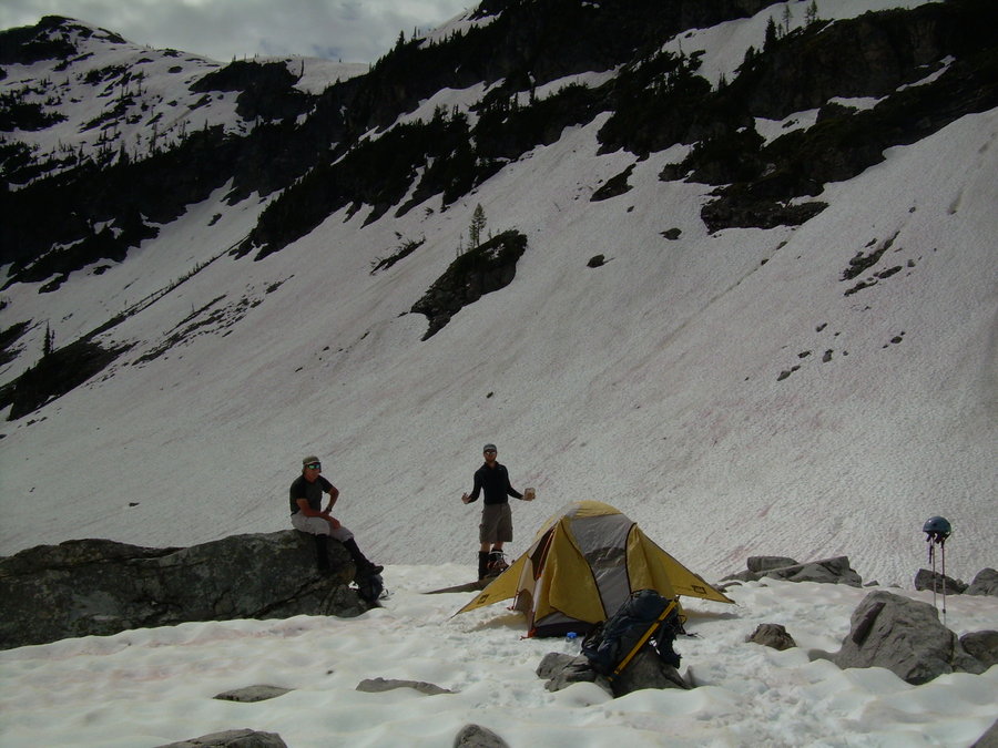
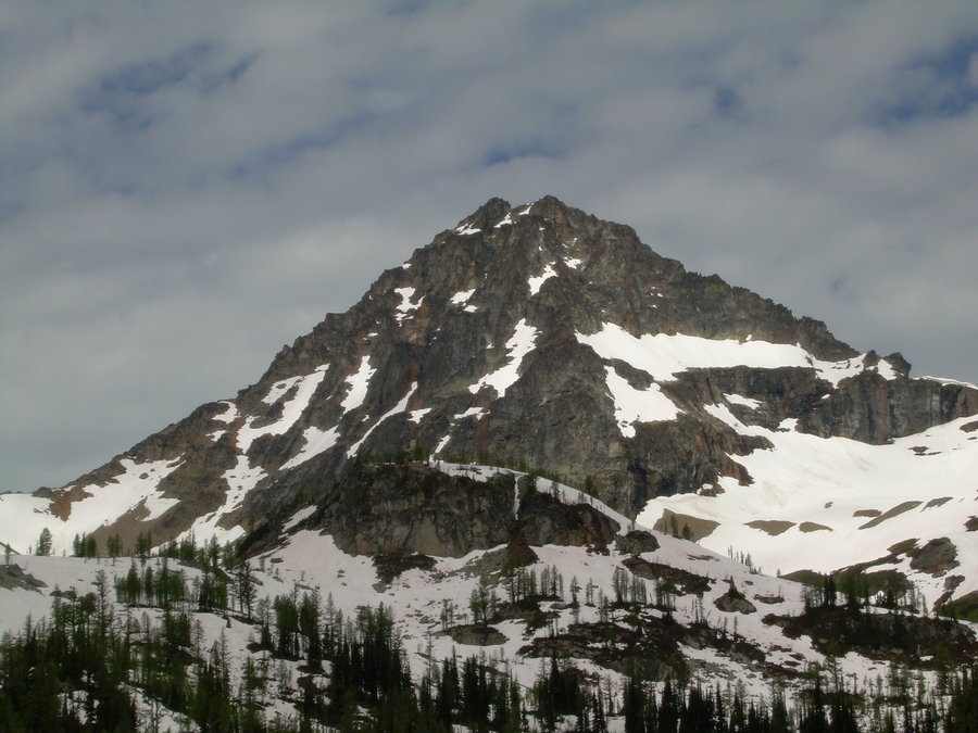
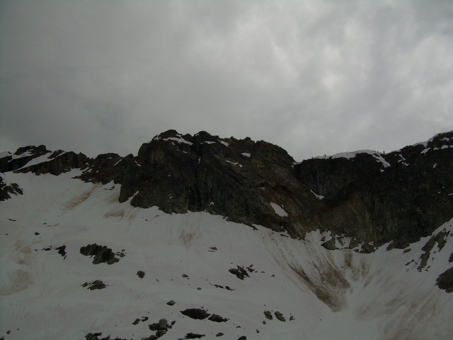
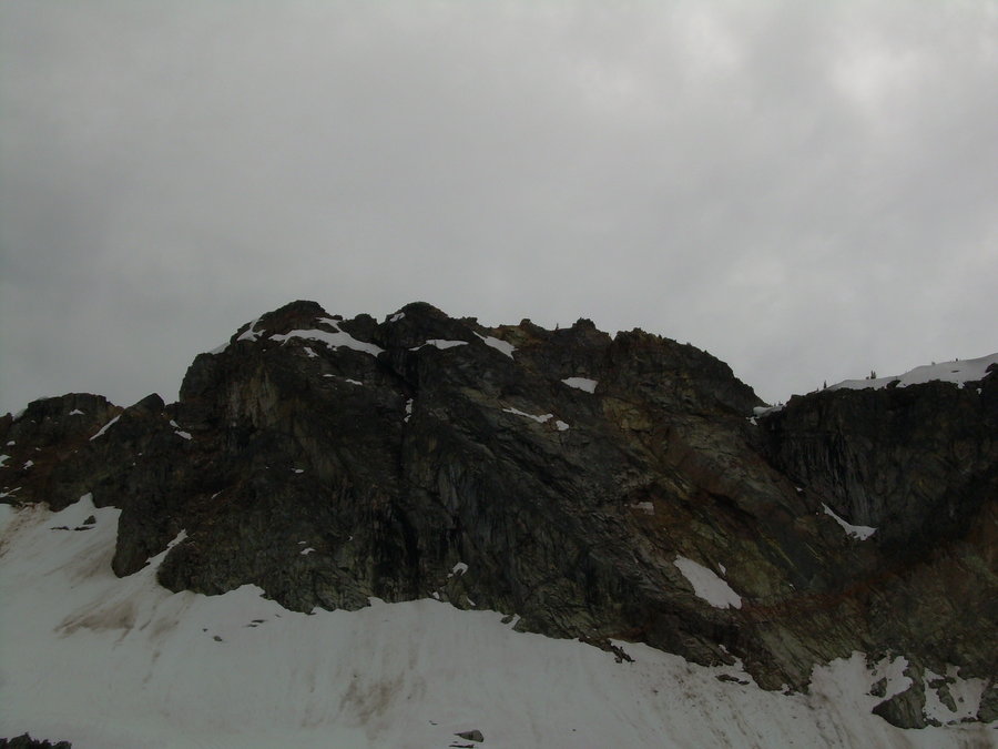
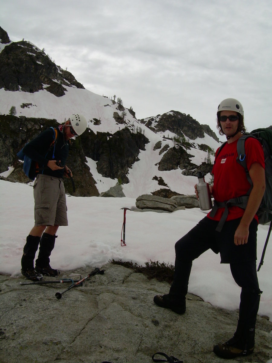
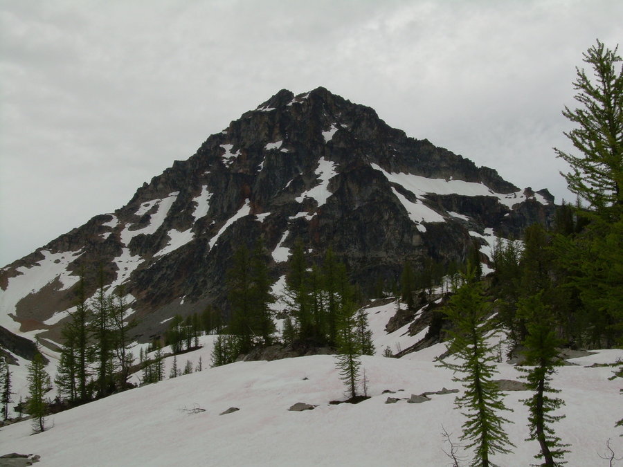
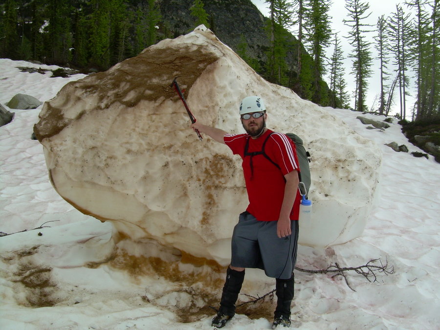
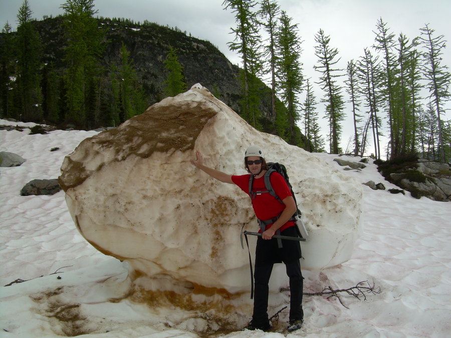
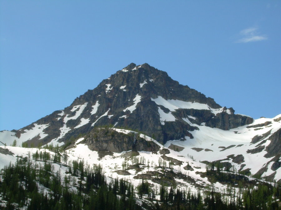
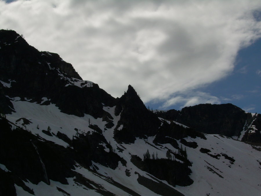
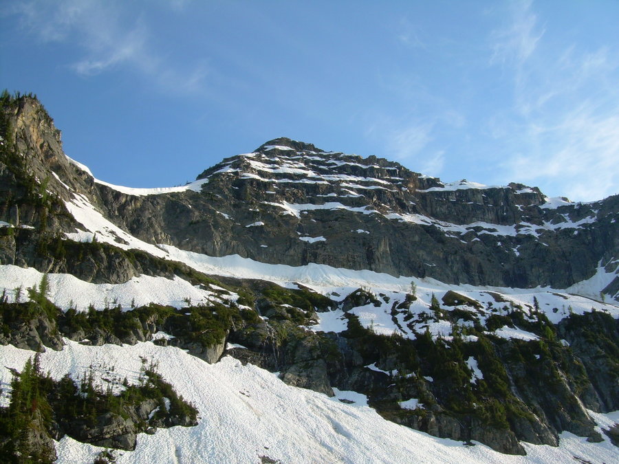
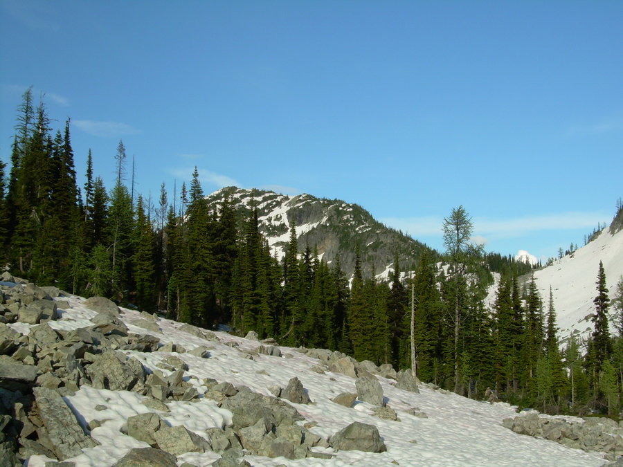
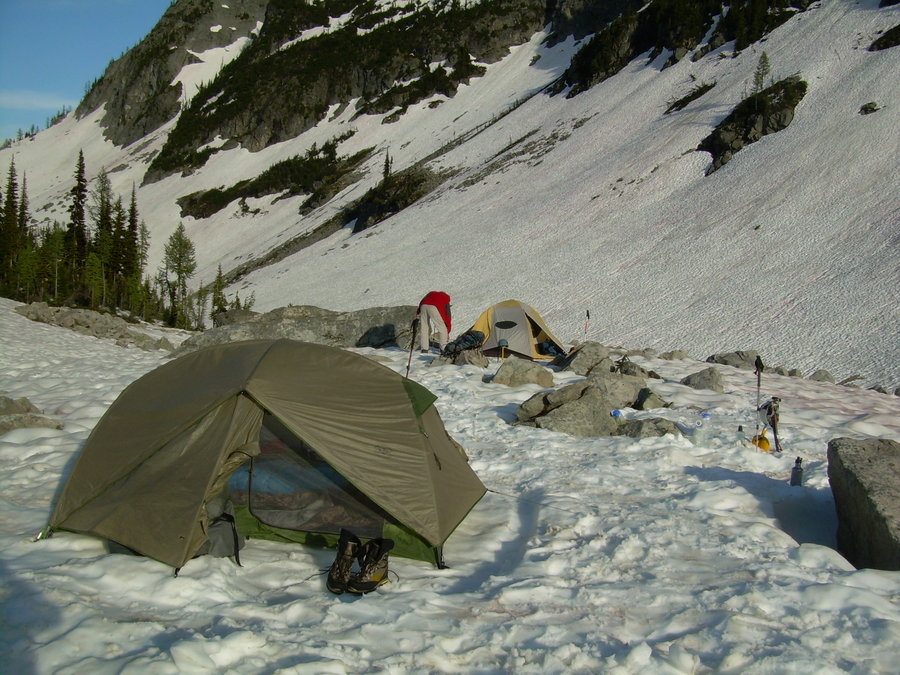
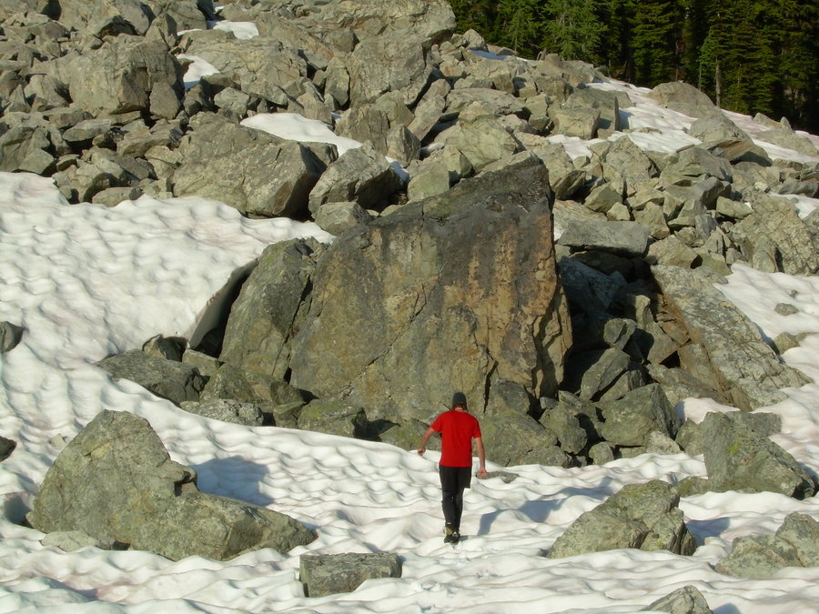
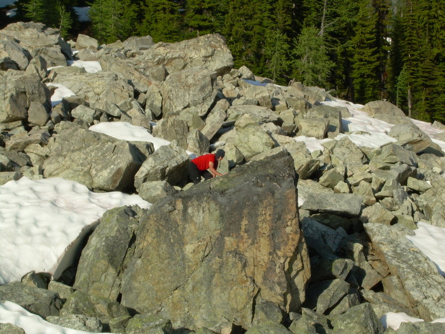
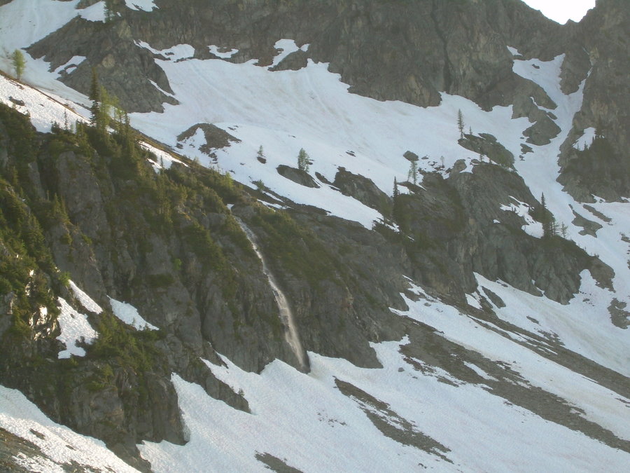
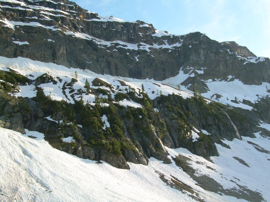
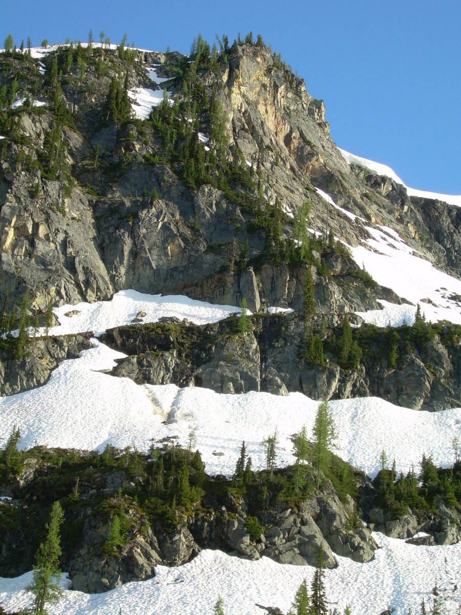
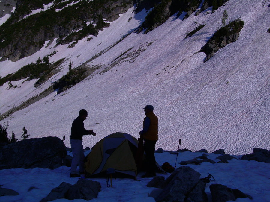
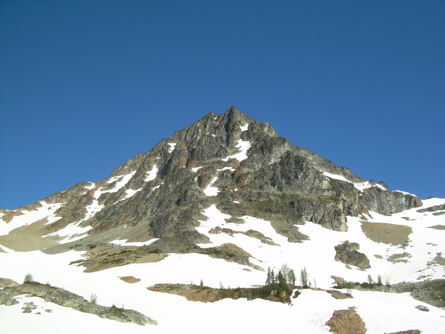
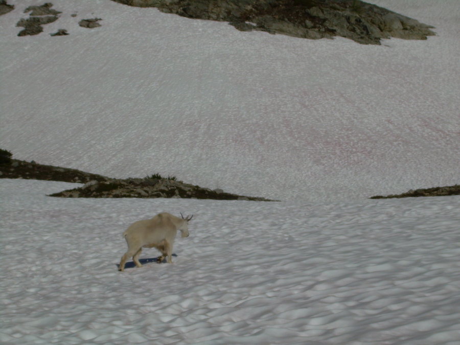
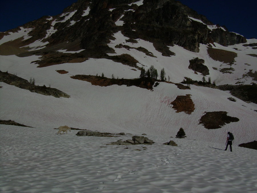
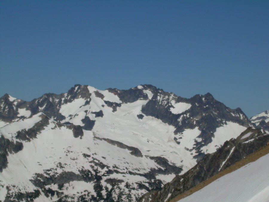
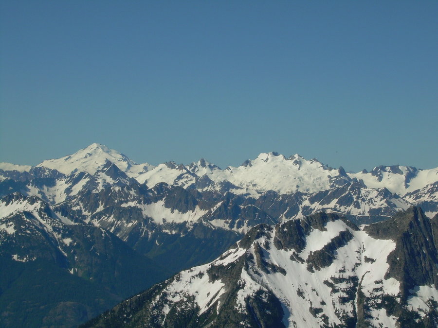
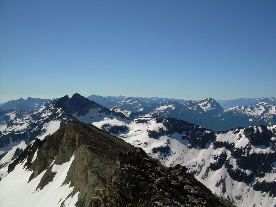
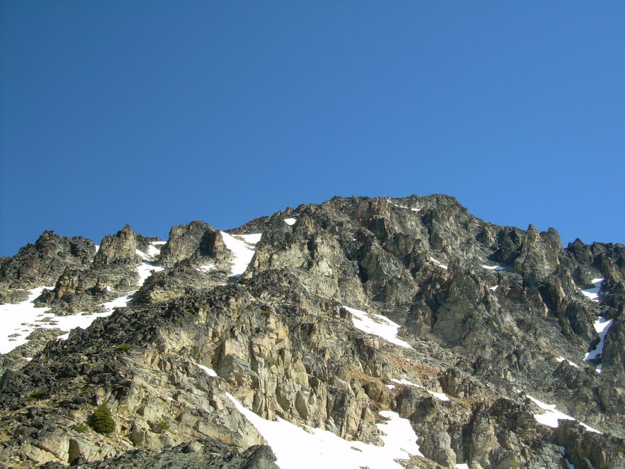
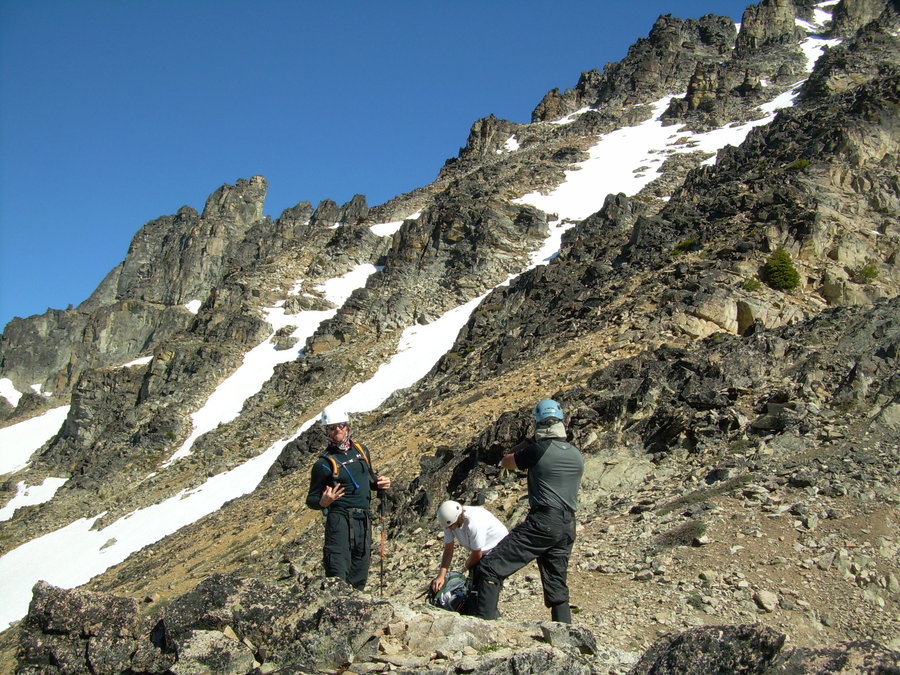
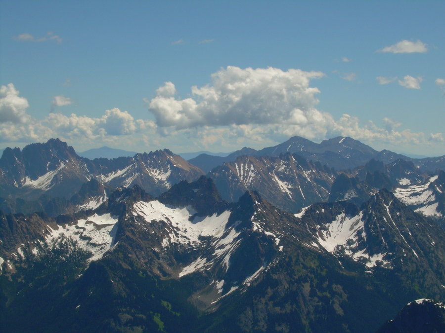
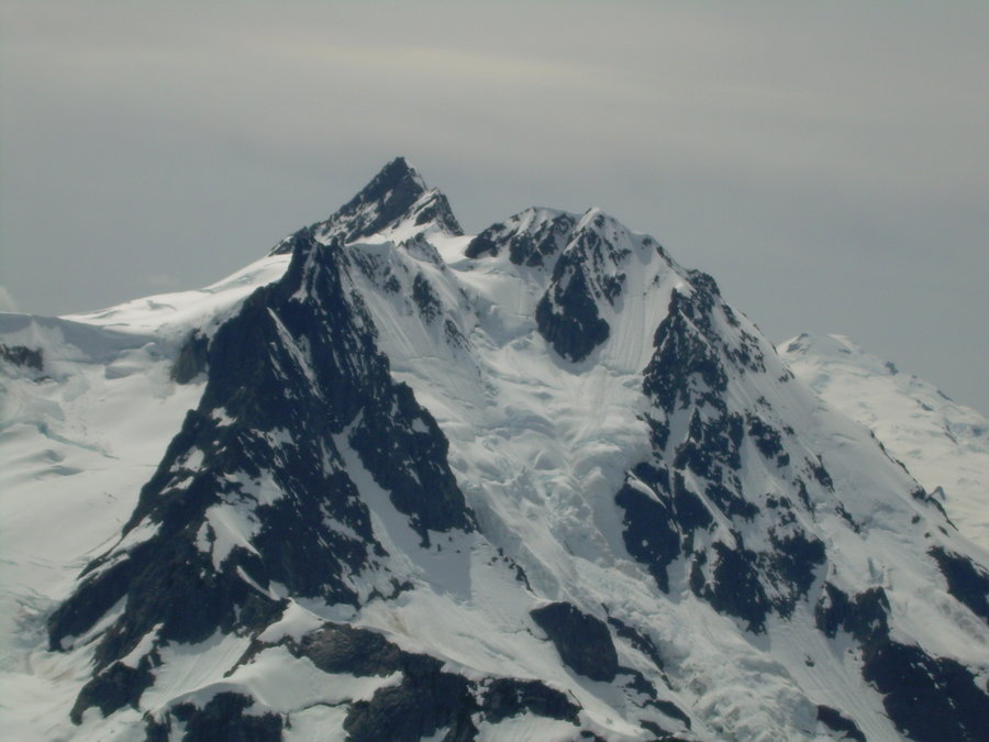
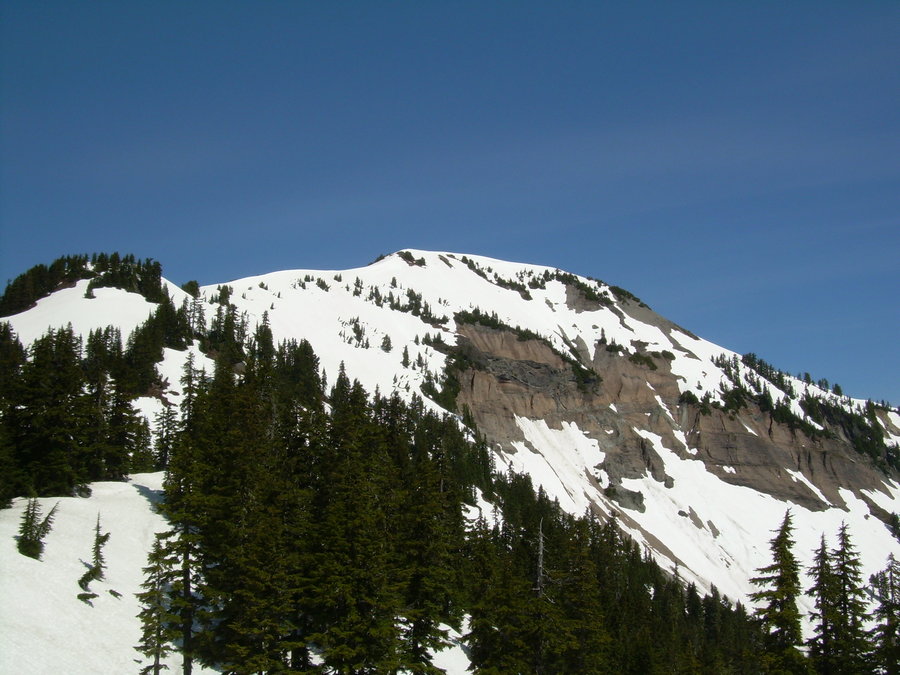
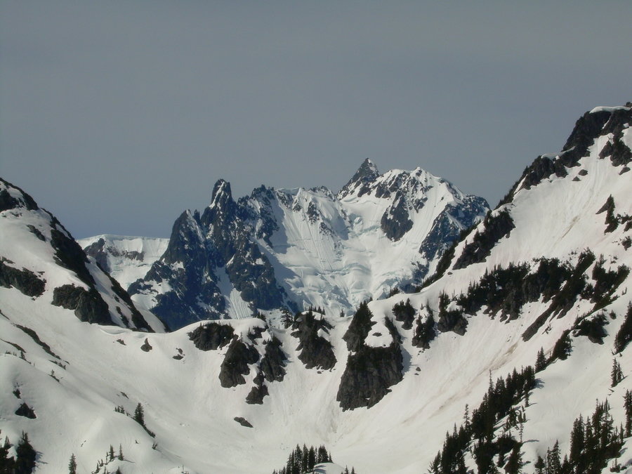
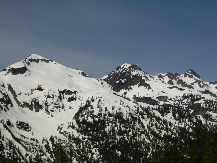
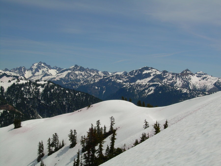
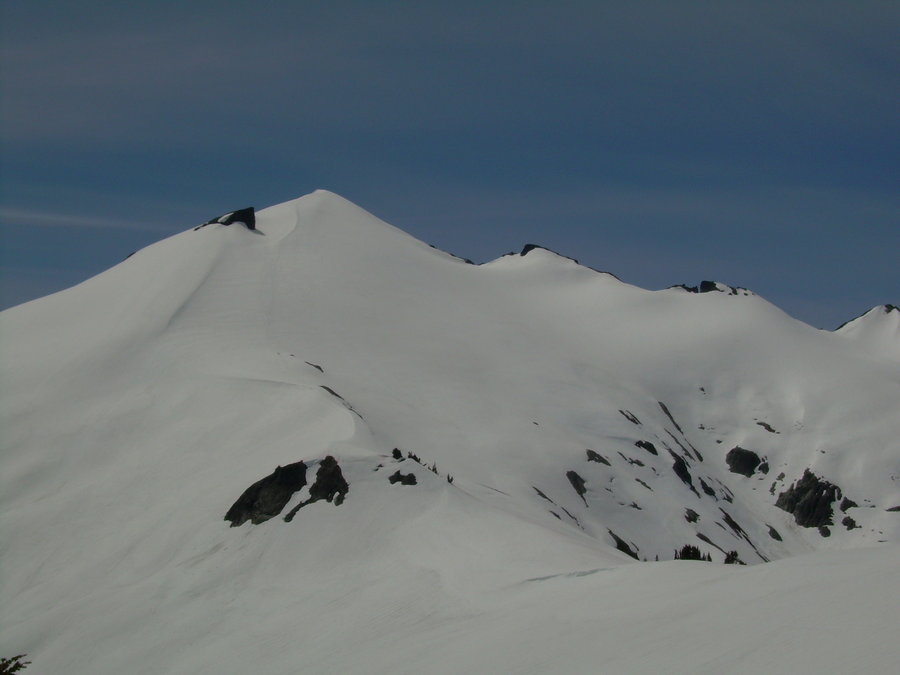
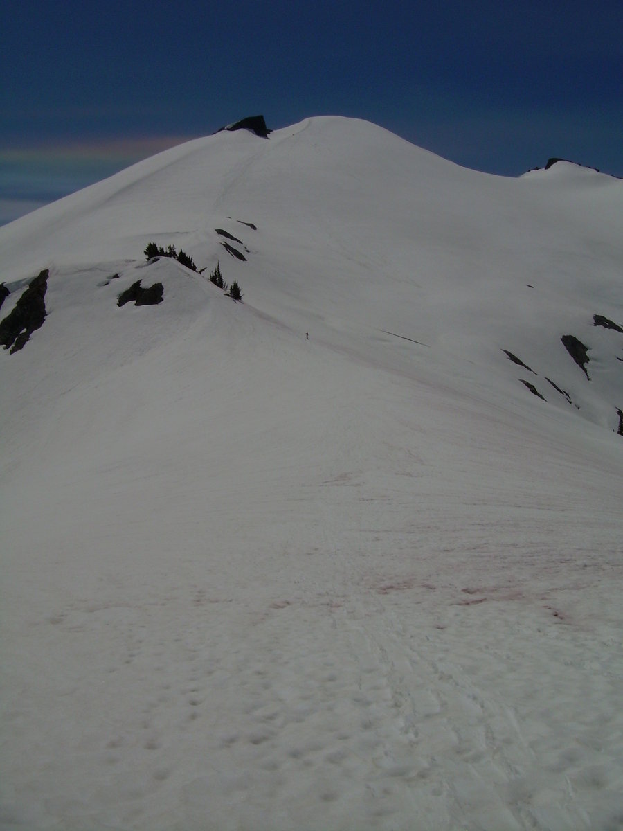
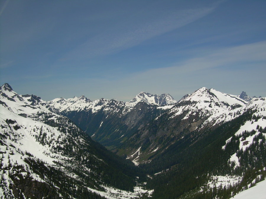
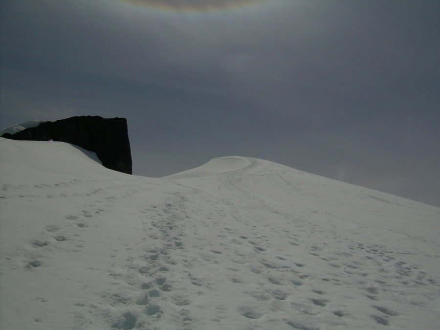
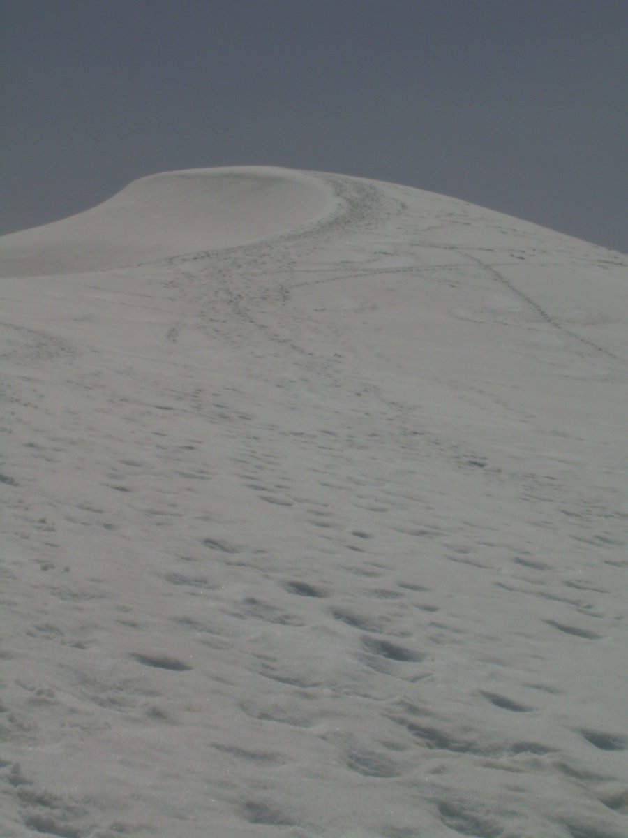
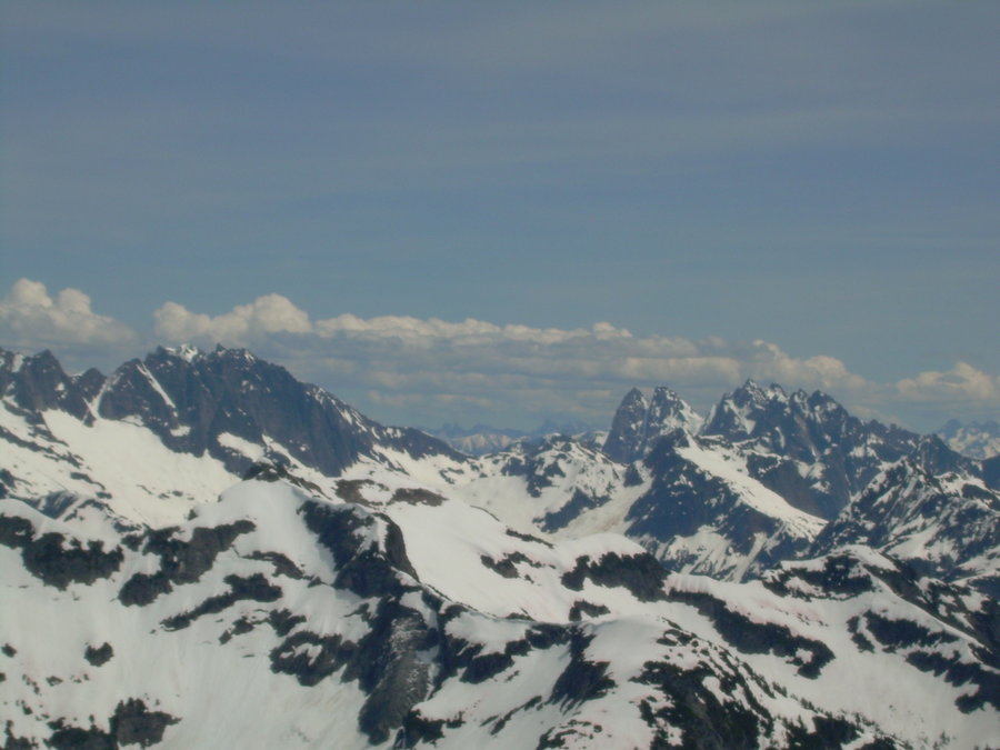
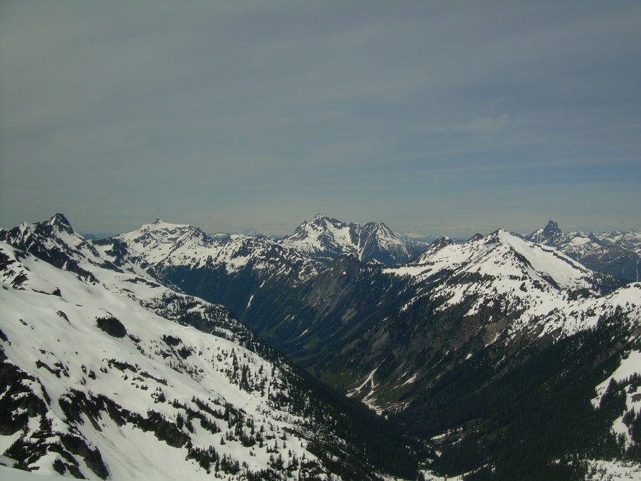
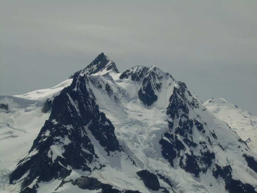
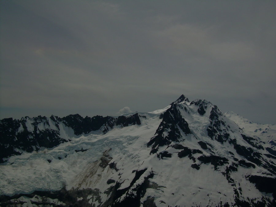
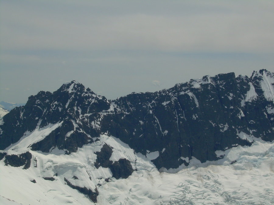
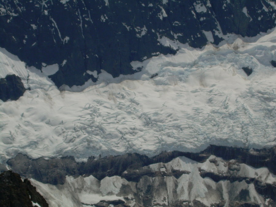
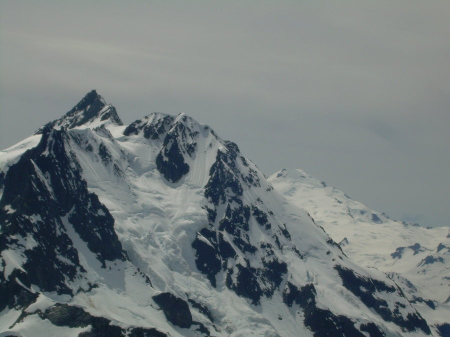
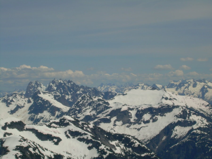
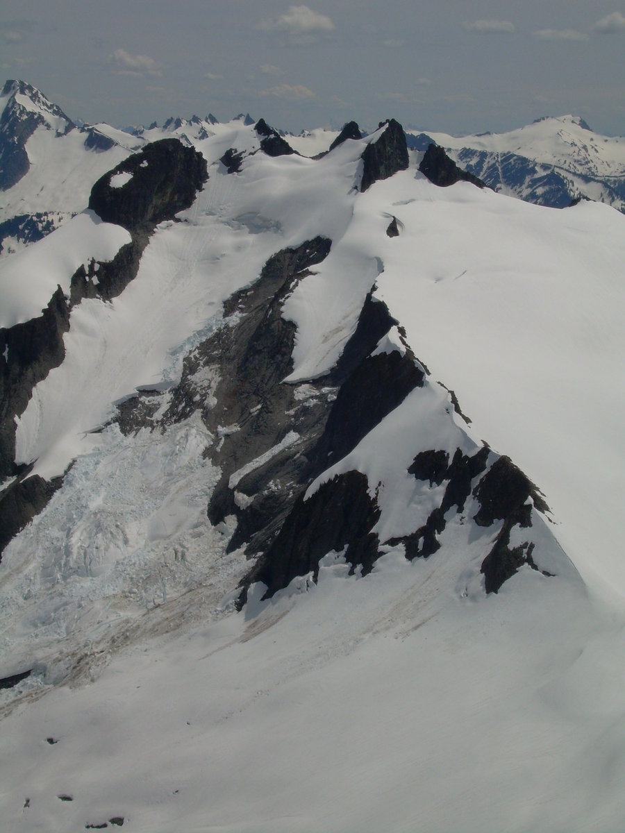
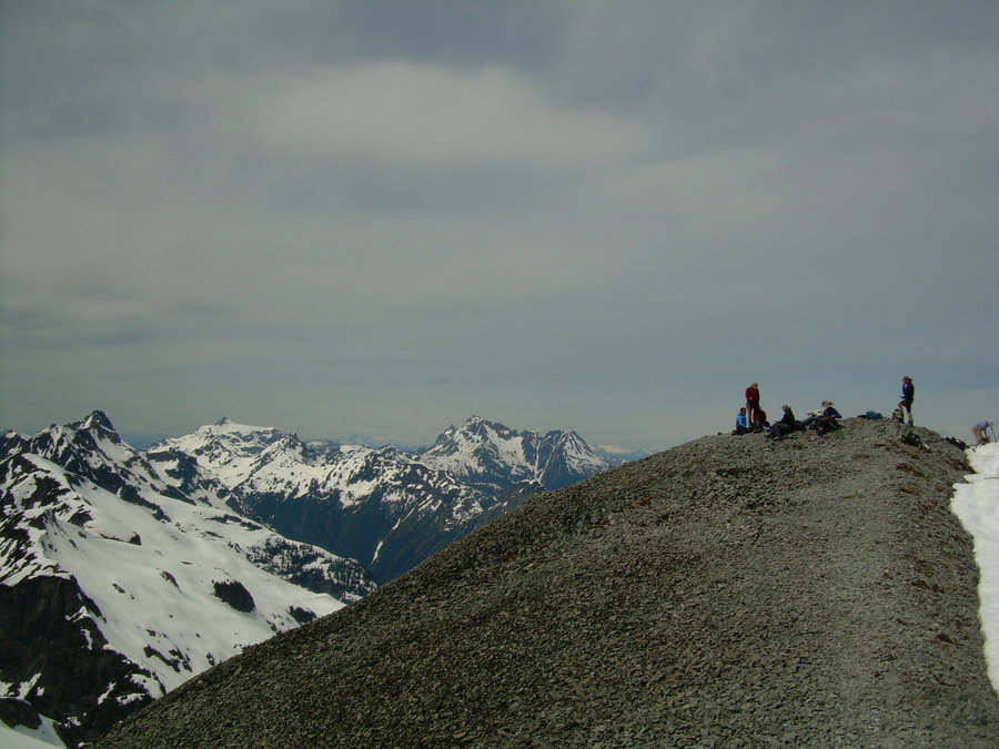
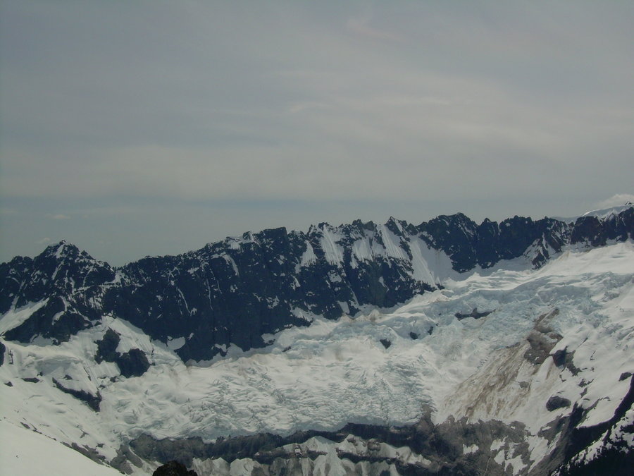
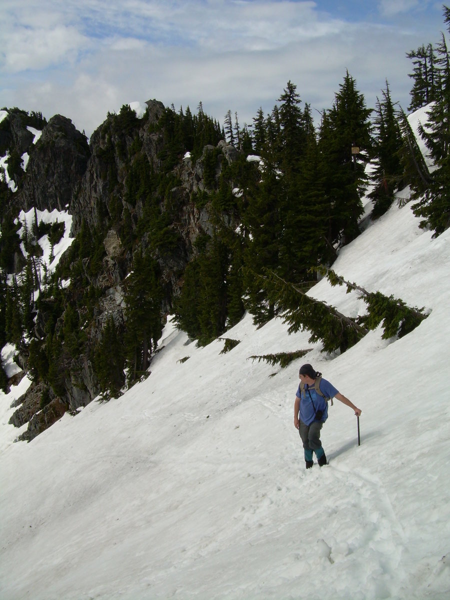
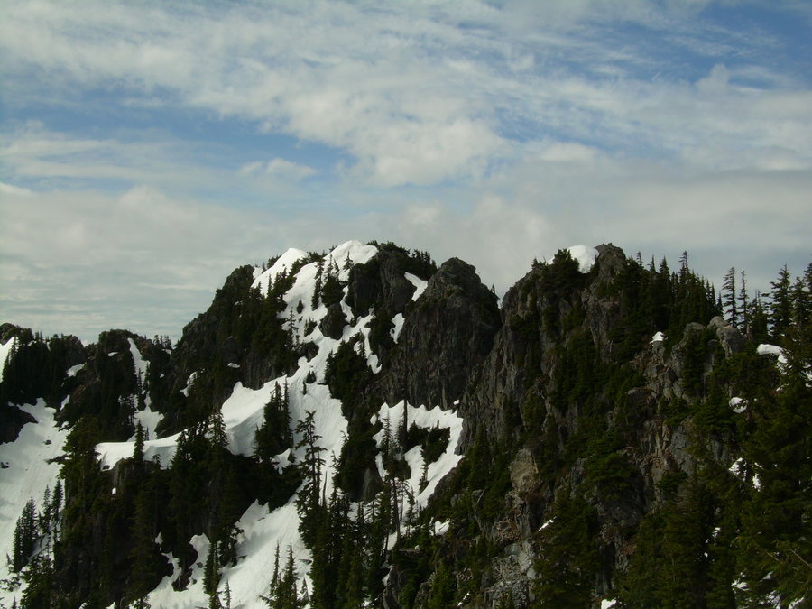
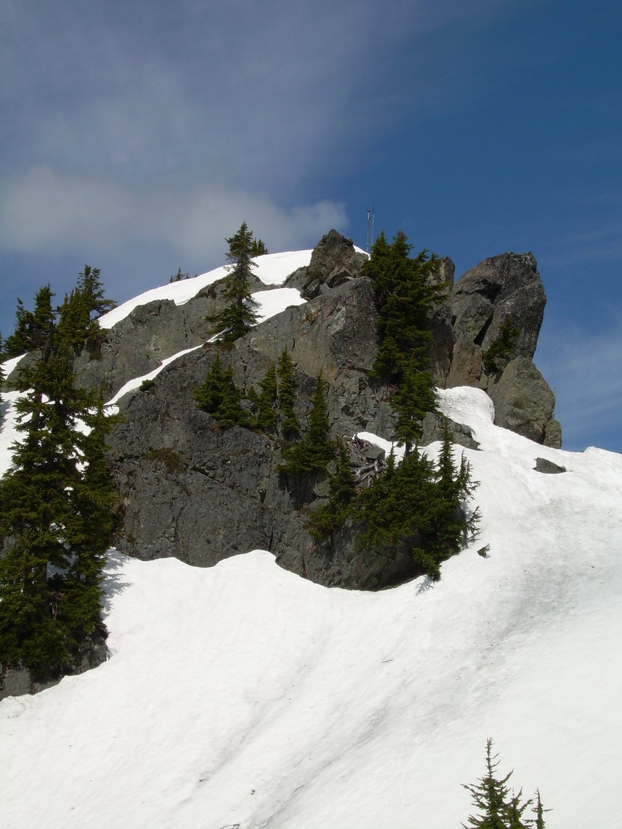
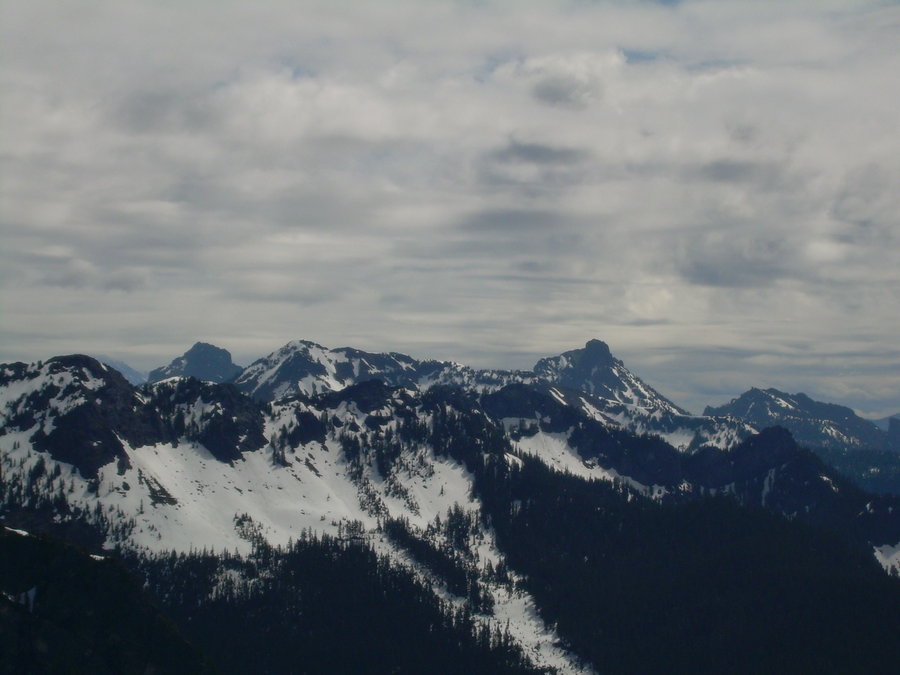
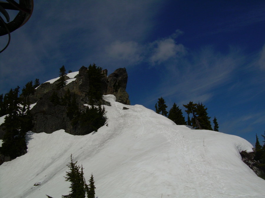
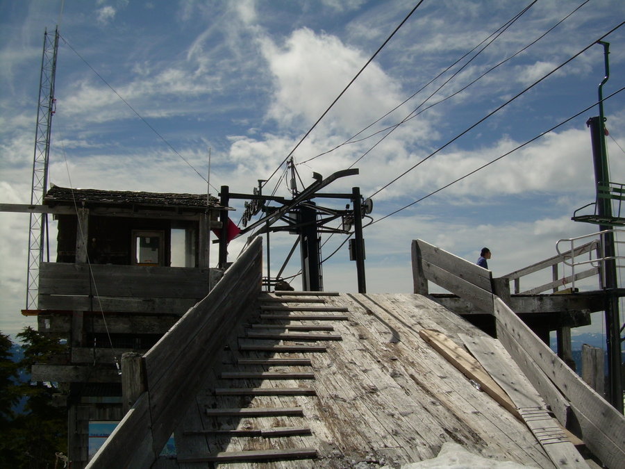
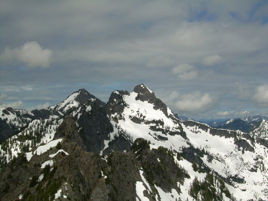
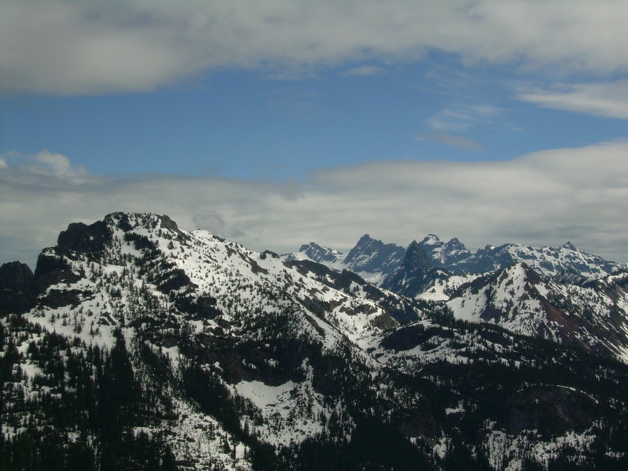
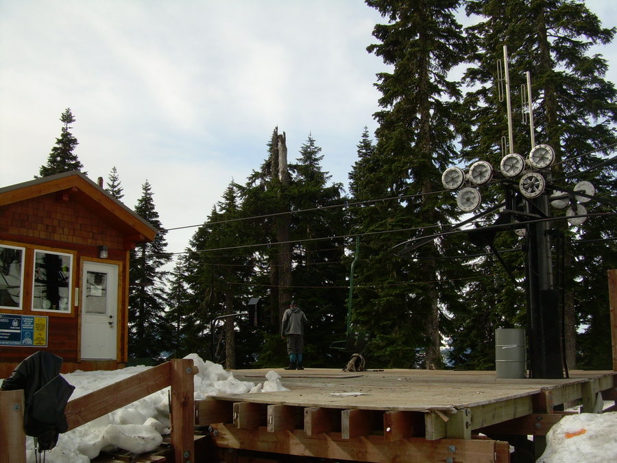
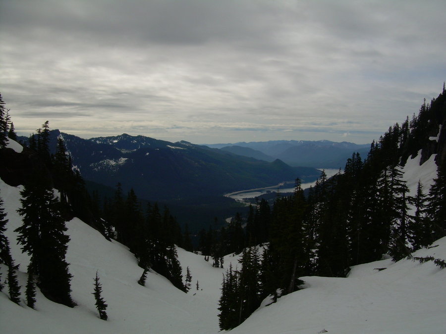
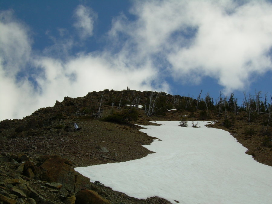
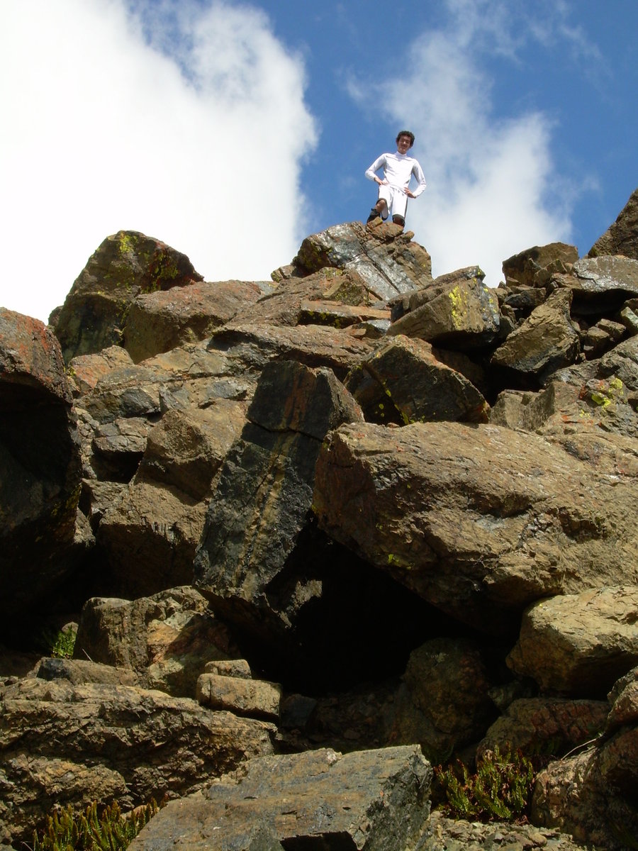
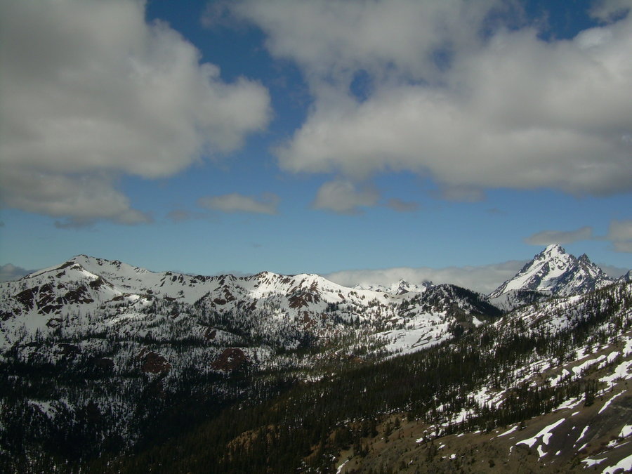
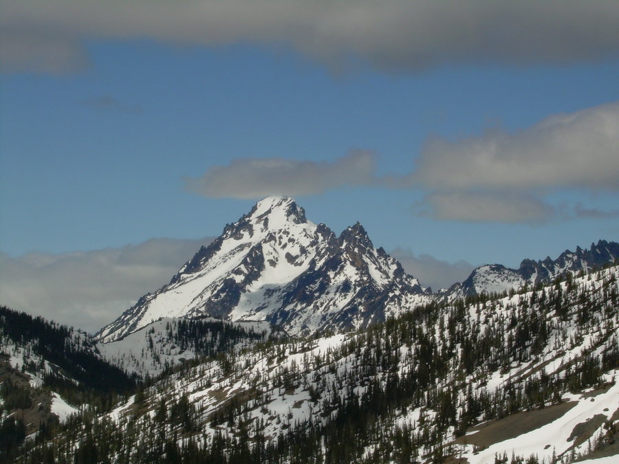
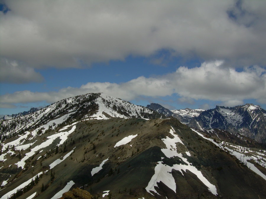
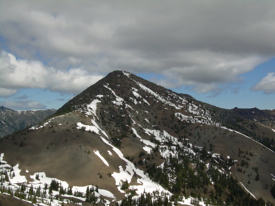
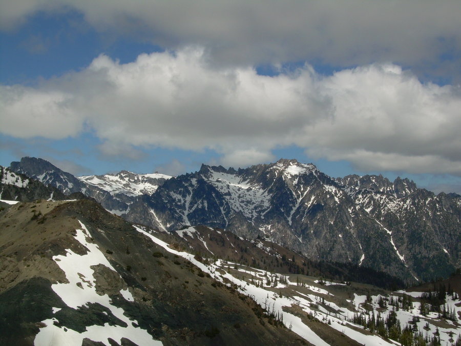
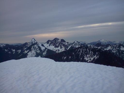
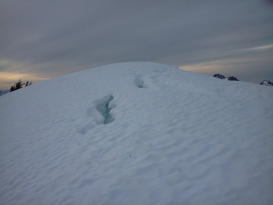
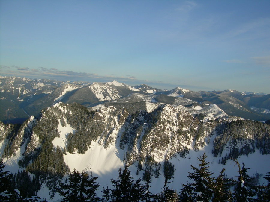
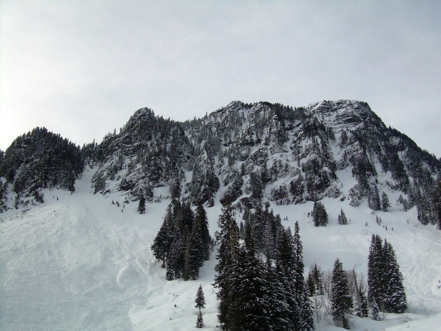
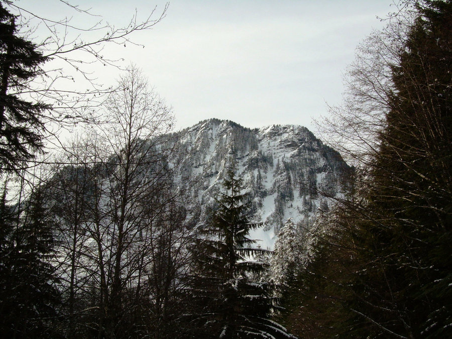
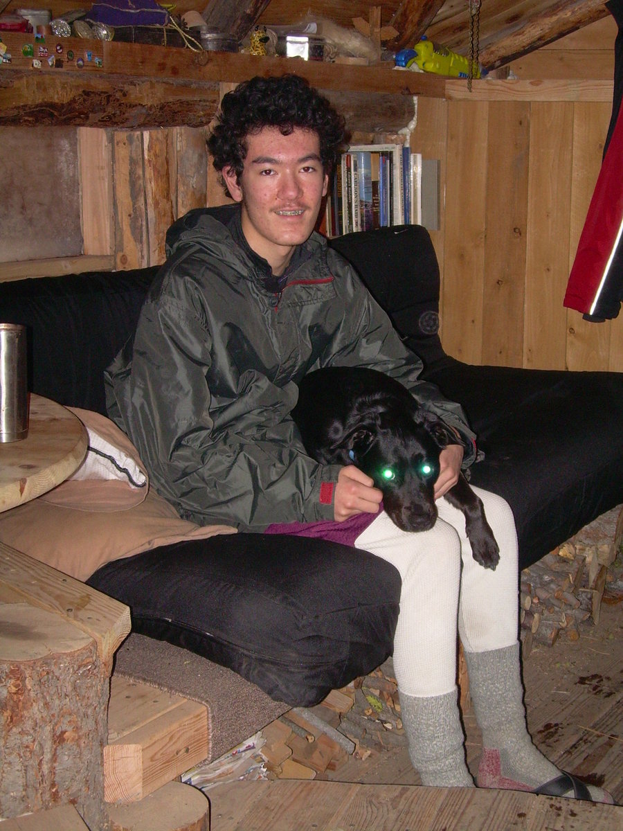
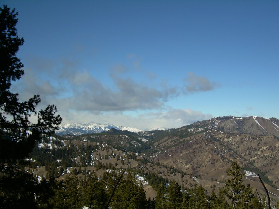
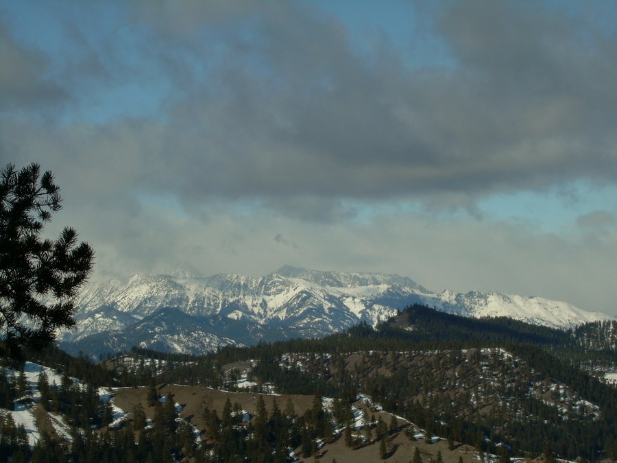
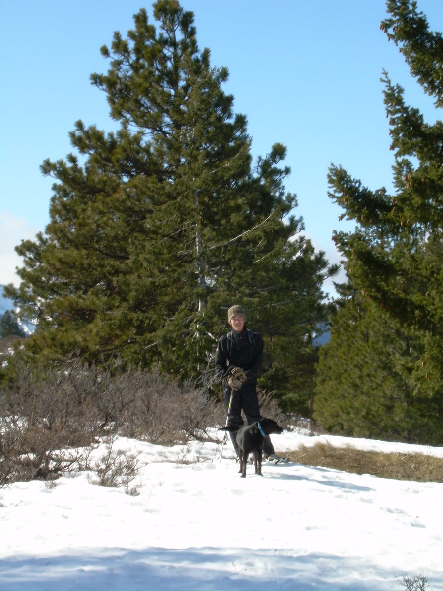
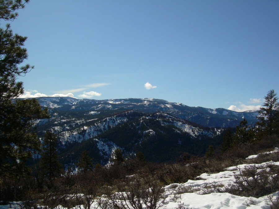
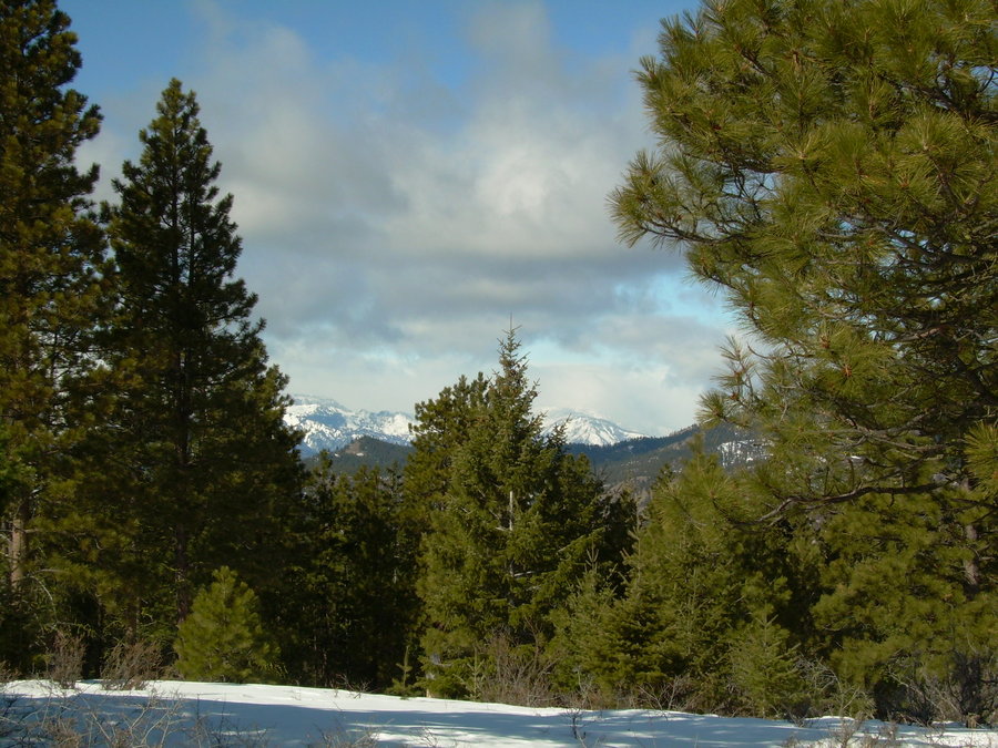
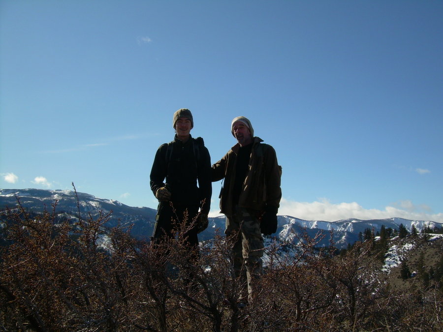
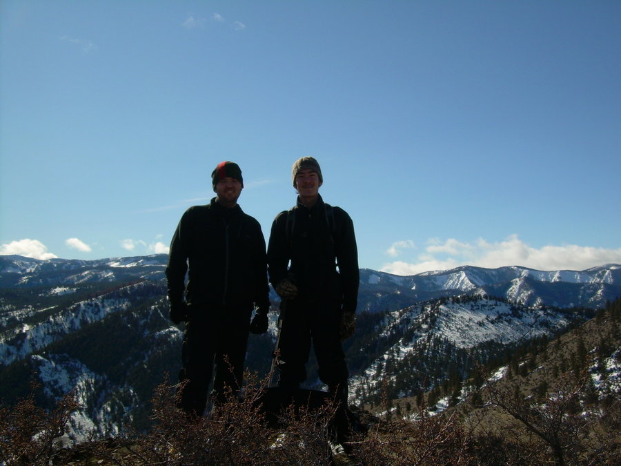
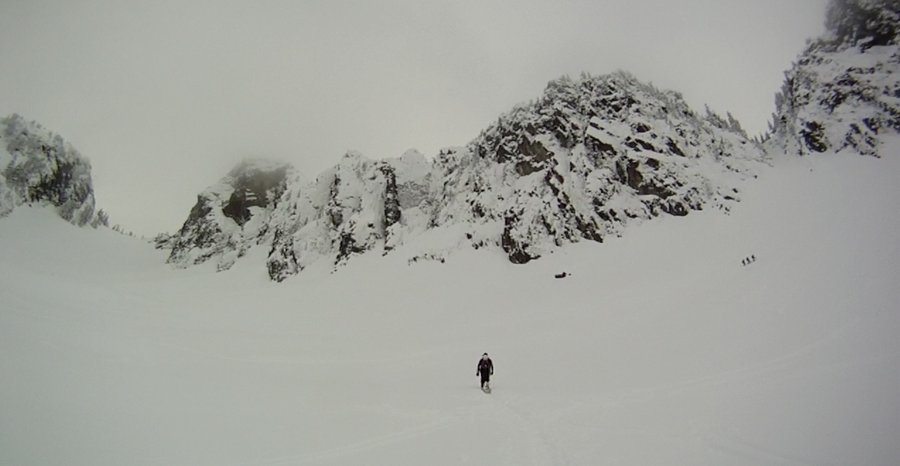
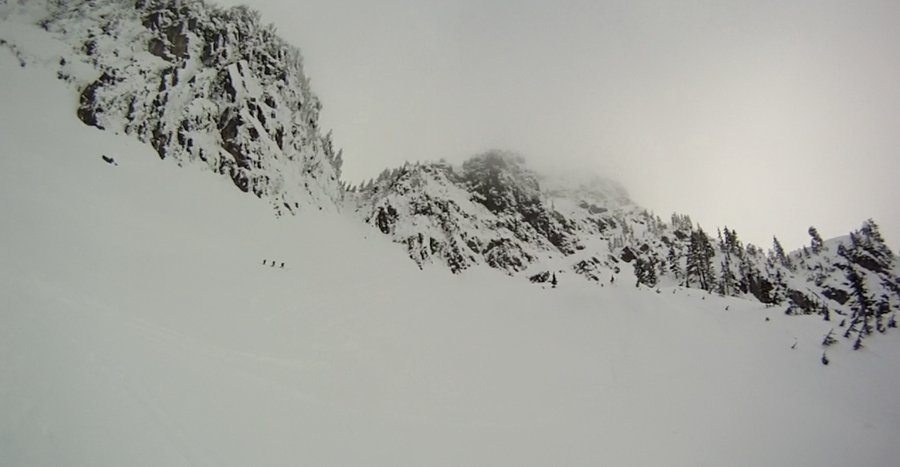
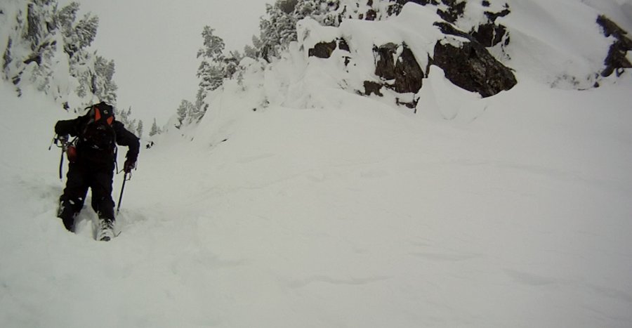
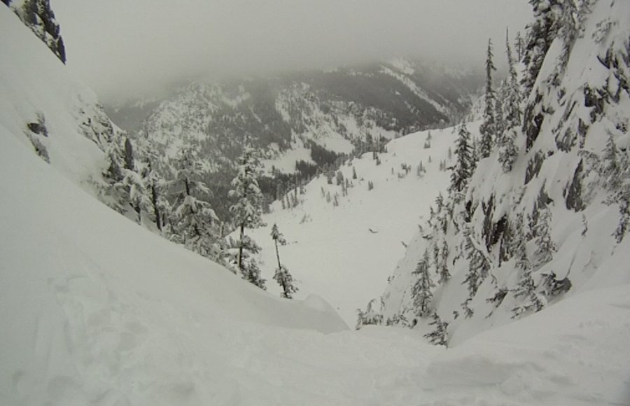
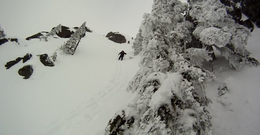
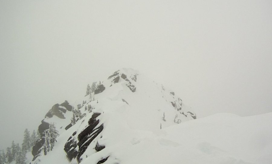
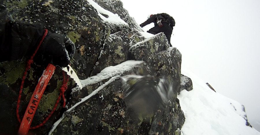
Enchanted Weekend with Little Annapurna
14 miles of hiking • 5250' elevation gain • 2 nights
New Summit - 15 of 20 for the Year 2013
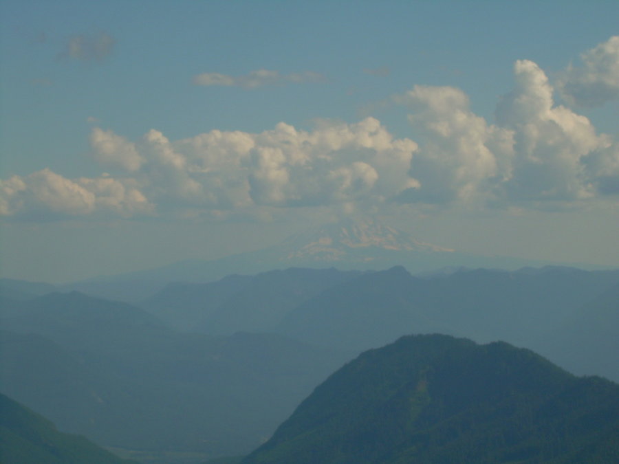
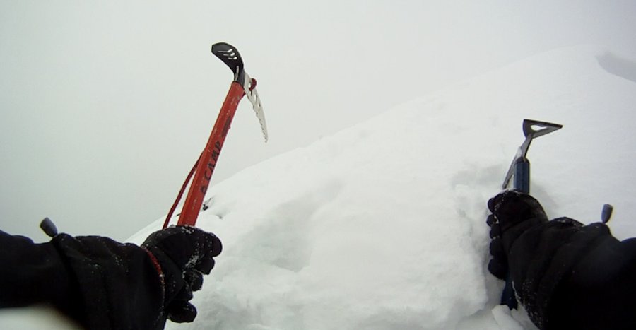
Last big trip of the year and I was hoping to go big. My goal was to tackle at least (3) Summits this trip, but given the conditions to get up and over Asgard Pass we burned a lot of extra energy and time. We were able to sneak in one trip up Little Annapurna and the conditions on Dragontail looked iffy, so we bailed on the traverse over to that peak. Little did I know this would be my last chance to get out for the year. It was a great weekend and I had a great time closing the season down with my buddy Jason.
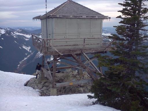
This was my first time camping in the heart of the enchantments and I really look forward to heading back soon..
15 New Summits for 2013 !!! Didn't quite reach my goal of 20, but I had a good run at it.

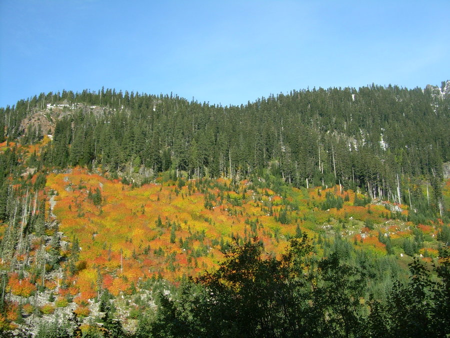
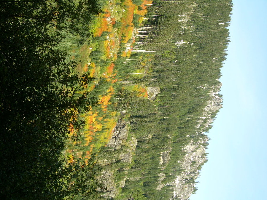
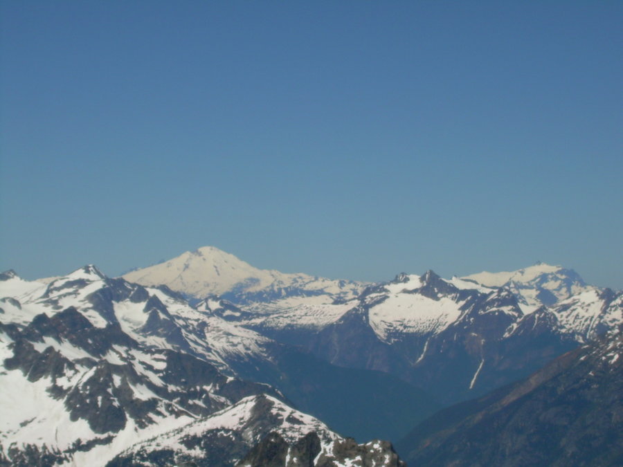
October 26 – October 28, 2013


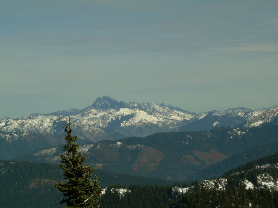
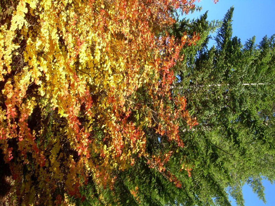
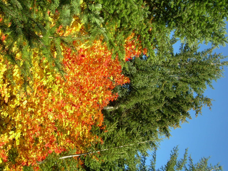
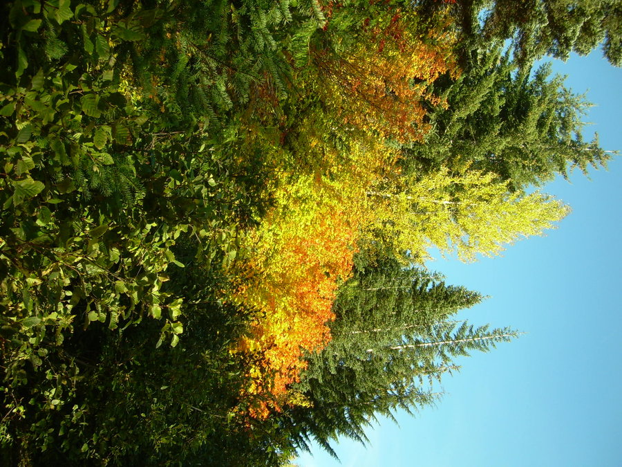
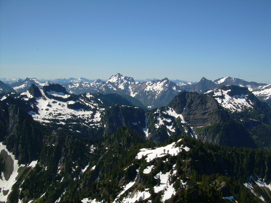
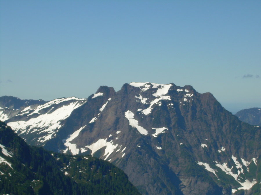
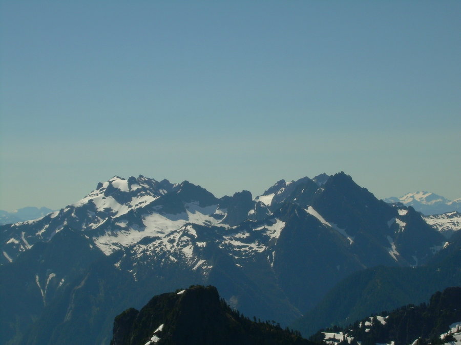
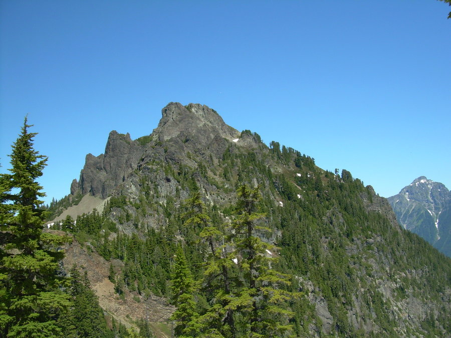
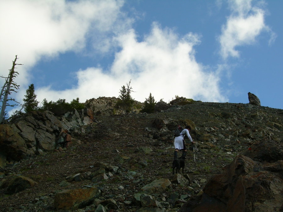
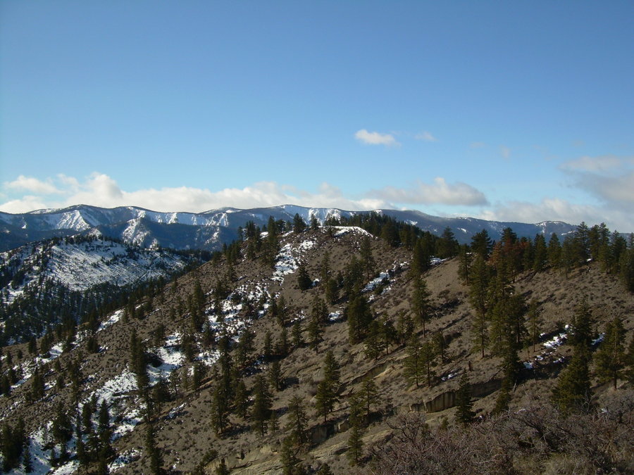
Mount Margaret
6 miles of hiking • 2250' elevation gain •
New Summit - 14 of 20 for the Year 2013
After not getting out in over a month, it felt great to finally stretch my legs and get up another new summit. It was a beautiful fall day, and the views were amazing. Lots of fresh snow above the 4k level and the fall colors in the valley were intense. I don't think that I have ever timed a trip this perfect. Usually I am out just before the leaves really start to turn or just after they have started to fall. The snow was a nice bonus as well !!!
October 5, 2013


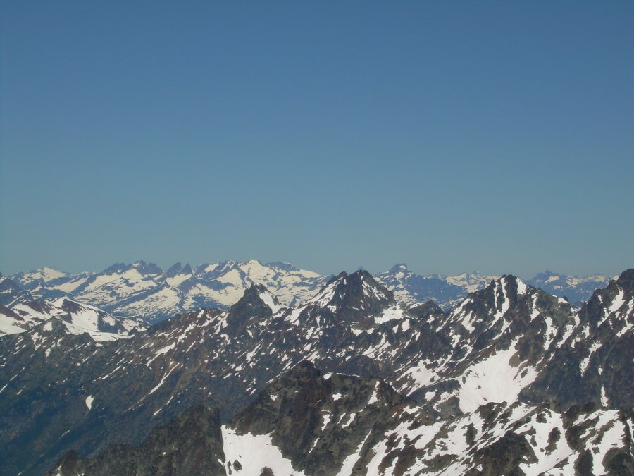
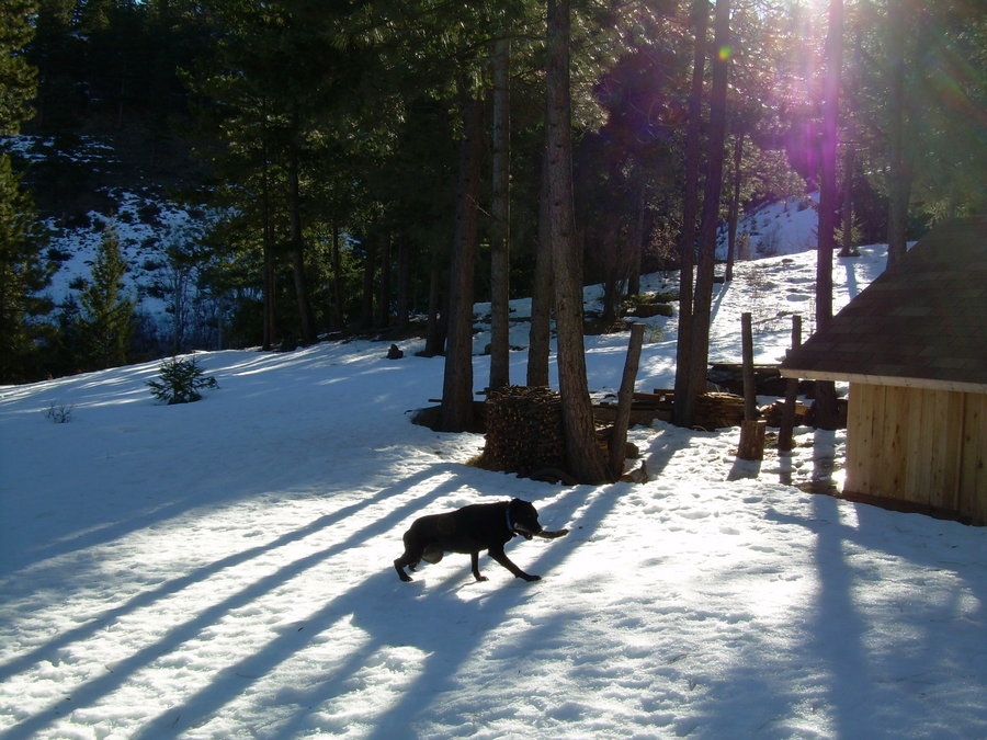
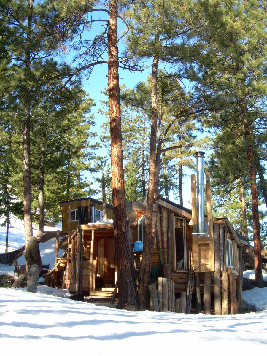
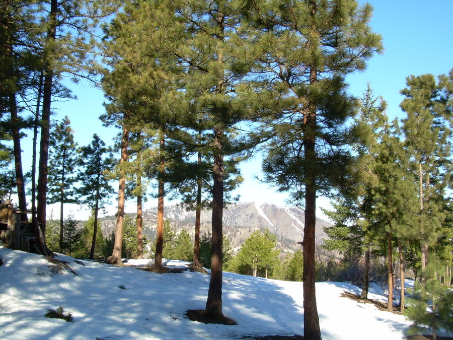
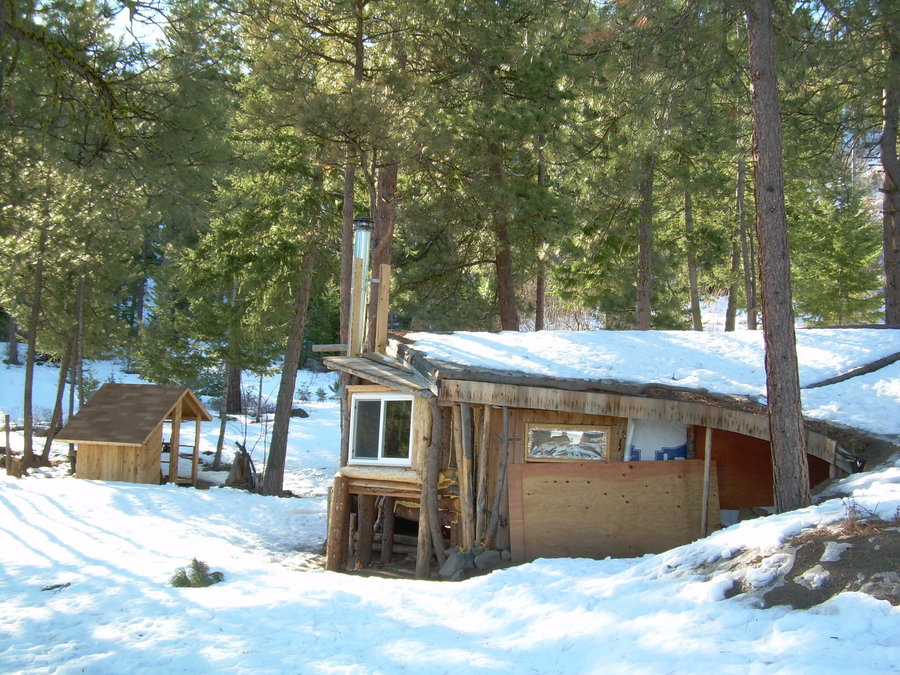
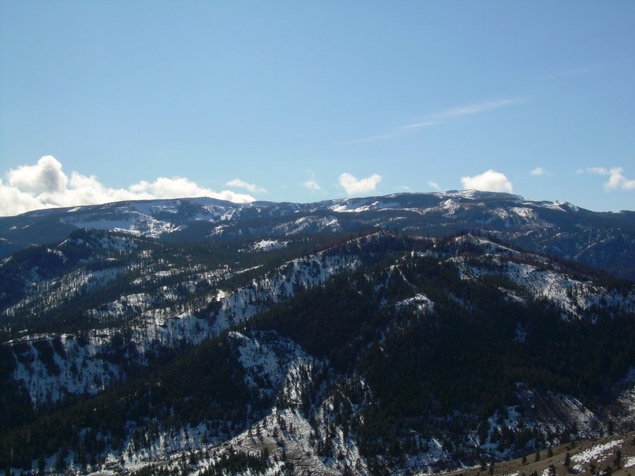
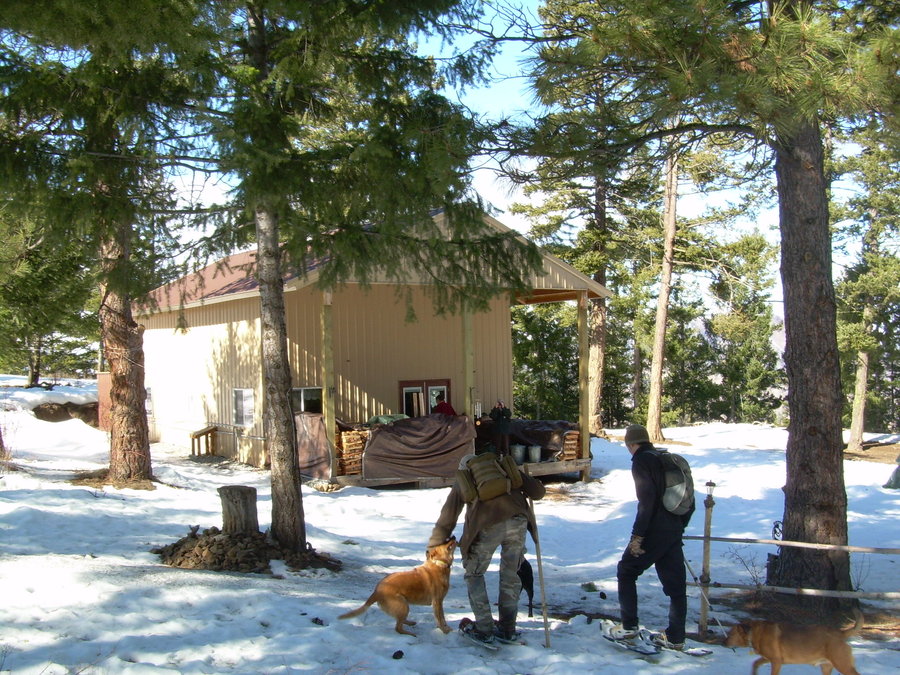
Lake Stuart / Michel's Cabin
10 miles of hiking • 1750' elevation gain • 2 nights
On our way up to Michel's Cabin for Labor Day Weekend, a few of us decided to make a day hike up to Lake Stuart. I am not much of a Lake Hiker, so of course I had an alternate plan to climb a nearby peak if time allowed. Axis Peak is short scramble from the lake and would have provided some nice views of the Enchantments range. But it was not meant to be, we got a late start that morning and ended up just taking our time and enjoyed the company of good friends. Later that day we all headed up to the Cabin and enjoyed 2 nights of camping. There were many activities and lots of drinking !!! A great holiday weekend and a great end to the PNW Summer.
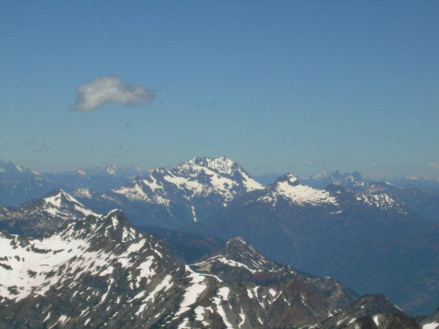
August 31 – September 2, 2013


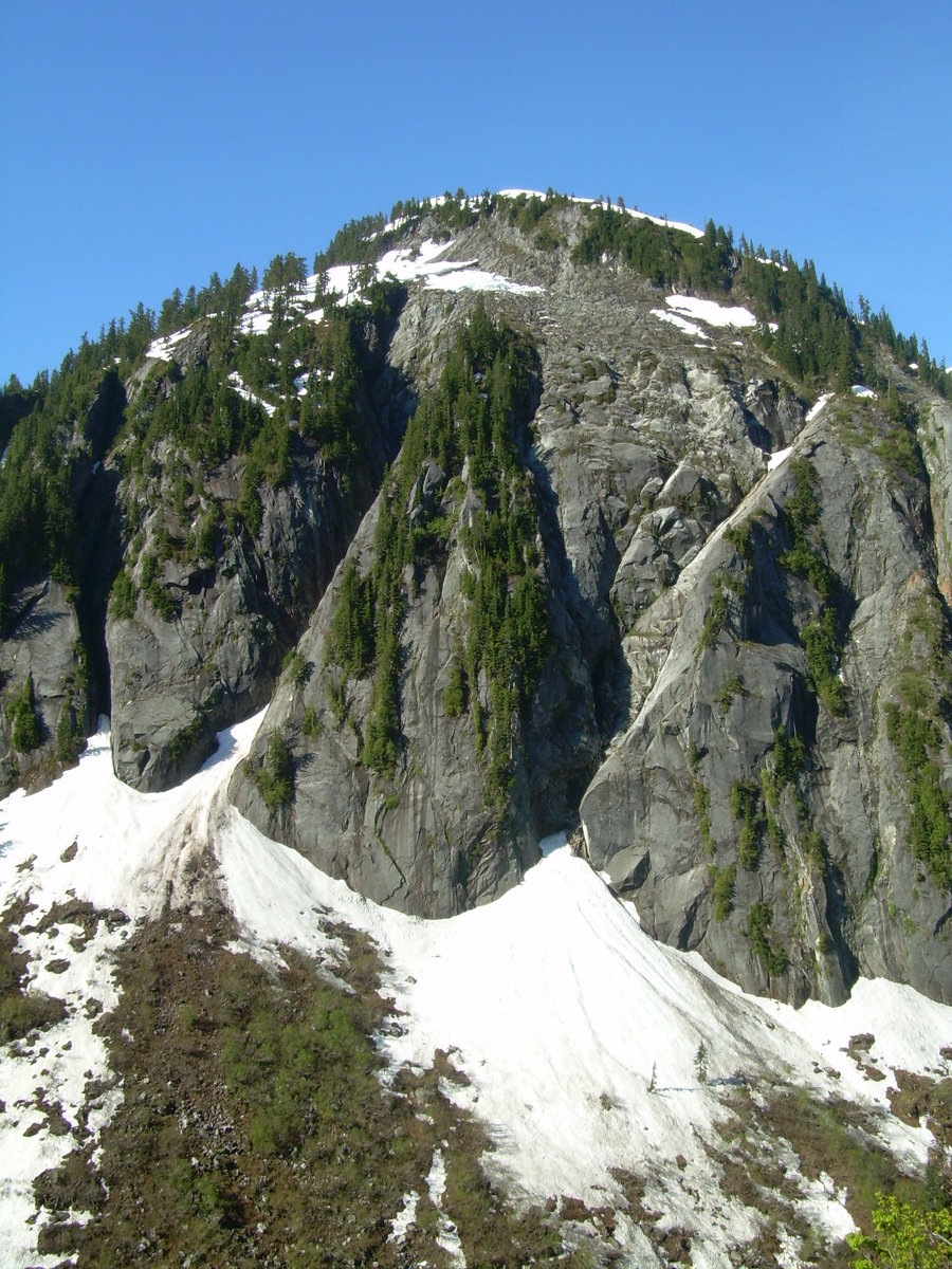
Home Court 2-fer - Thorp Mountain & Hard Knox (AKA South Thorp)
5.5 miles of hiking • 2750' elevation gain •
New Summits - 12 & 13 of 20 for the Year 2013
Coming off my big Trifecta weekend, I thought a quick two-fer would be easy enough. With a small weather window early in the morning, I knew that it was going to be tight and I would have to move fast. I hit Thorp Mountain first and when I got to the summit, it was still nice with some clouds building on the horizon. Little did I know... that would be the last blue sky I would see for the entire day. After descending back into the forest and traversing over to the ridge for Hard Knox. I began to hear some thunder off in the distance. I knew the forecast was calling for afternoon T-Showers, but this was too early !!! I began to move faster and so did the storm. By the time I emerged from the forest and began to scramble up the exposed north face of the summit. The weather had already turned south and big thunder heads were on the move. I could see a wall of rain of in the distance and dark black clouds with flashes of lightning not far behind. Right now I had to make a decision. Turn around a few hundred feet shy of the summit or push hard and hope to get off the summit before this storm hits. I decided to make a run for it and boy did I cut it close. Spent about 1 min on the summit and then charged back down the south face to connect with the standard route. I looked back up at the summit and it was no longer visible. The thunder was right above my head at this point and flashes of lighting soon followed. With in minutes I was right in the cloud, you could feel the electricity all around. I quickly checked to make sure that I didn't have any metal in my day pack. After gearing back up, I began to sprint along the ridge and down into the forest. I was staying just a few minutes ahead of the storm at this point, but eventually it caught up to me when I got into the meadow. The sky finally opened up and poured down on me like a morning shower. Luckily my car was not too far away at this point and I was able to get down in about 20 min. This was a fun climb, just didn't have time to truly explore the area and take it all in. I will have to plan for some more climbs in this area next year.
August 11, 2013

Tatoosh Trifecta - The Castle / Plummer Peak & Denman Peak
5.5 miles of hiking • 3250' elevation gain •
New Summits - 9,10 & 11 of 20 for the Year 2013
Every year I try and check off a peak in the Tatoosh Range. I think it is a great area that often gets overlooked with its neighbor the sleeping giant (Mount Rainier). Before I set off on this journey, I started looking at the possibilities of doing a full traverse of the Tatoosh Range. I found some really good beta, but it would have required a very long day or even a possible bivy. I didn't really have time for either, so I figured that a link up of a few peaks would be just the right trip.
I gave my buddy Jason a call and he brought his son Gavin along to join us. It was a great day and we got some good low 5th class scrambling in on Da Castle. This was my first time heading up to the Tatoosh this late in the summer. Usually we go up for an early spring trip, so it was interesting to see how different the terrain looked without snow. We made quick work of Denman and Plummer to finish off our day. It was great to get out with Jason and Gavin. This was my first Trifecta and it left me wanting more. I think a full traverse will be in the works for next year !!!
August 4, 2013


 2
2
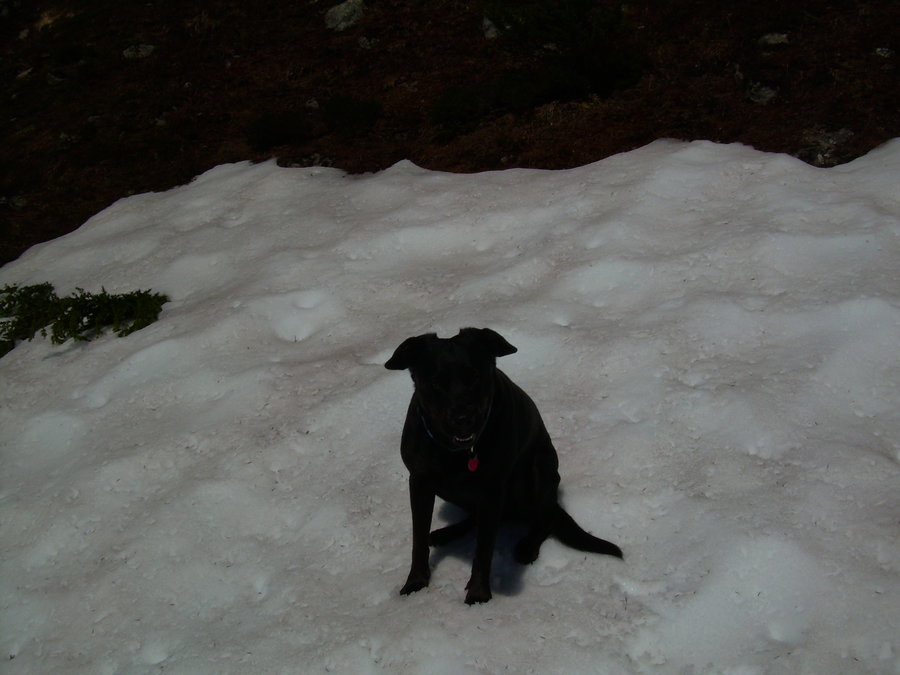
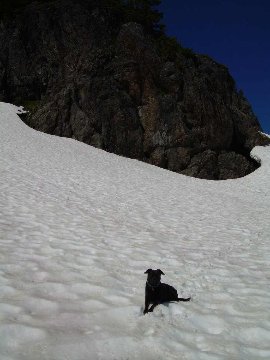
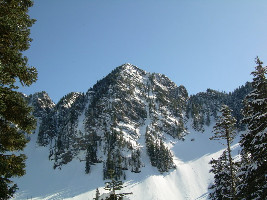
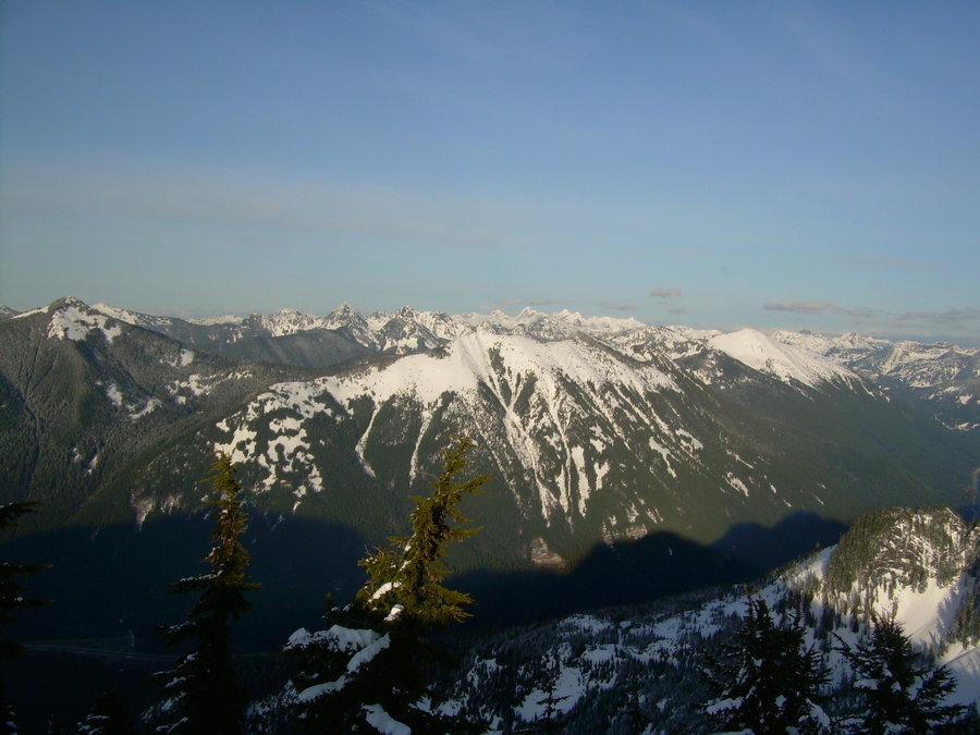
Mount Forgotten
16 miles of hiking • 6500' elevation gain • 1 night
New Summit - 8 of 20 for the Year 2013
Had an opportunity to sneak out again this weekend and take Mindy up to the hills. With so much work piling up at the office, I knew that I had to go in and work on Saturday. But could I still get out and go climbing ? Possibly if I car camped on Saturday night and got an early start on Sunday. Now where to go.....??? I looked at my map on Went Hiking and saw all the thumb tacks spread out around Washington and realized that I have been neglecting the Mountain Loop Highway area. Usually I try to complete at least 1 climb a year in this area. So a quick look at the forecast, my short list of peaks to do for the area and then I was off to pack and get the heck outta town.
Everything timed out perfect. We got to the car camping spot along the Stilly around 9:00ish. Had a few beers, played with the dog and then it was off to bed before 10. Woke up the following morning around 5:00 and started to gear up for an early start. I figured that it would be nice to get the approach done while it was still cool out and then if we had time on the way back we could hit up Stillaguamish Peak. Could I finally get my 2-fer for the year ?
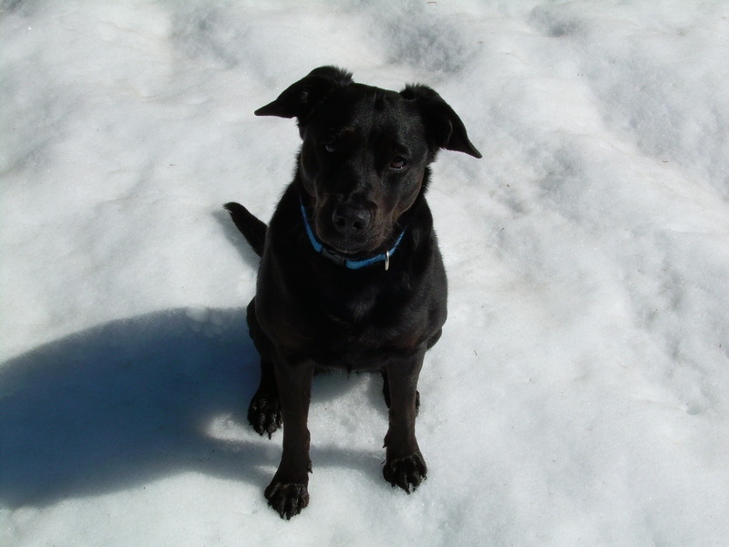
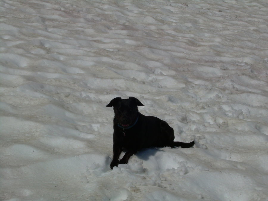
The approach went quick and before long we were high up in the Forgotten Meadows. The trail was snow free up until this point. Then I searched around for a bit before locating a steep muddy gulley that dropped down into the valley below the SE face of Forgotten. From there it was a long traverse below the face with patchy snow and blow downs. Eventually we came up and around to the NE face and began our climb up a nice little chute that lead up to a meadow just below the summit scramble. We were making good time and Stillaguamish was well within our grasp. I gave Mindy lots of water and some scooby snacks on the Summit. She played around and cooled off on a small patch of snow, until the biting flies began to swarm around her. We quickly down climbed the top part of the snow gulley and slid down the rest. The traverse back across to the meadow seemed to go quicker this time around. Once we were back in the meadow I filtered some water and let Mindy rest again in the shade. A black dog on snow is like frying an egg on a rock !!! I watched her start playing with rocks and if anyone knows Mindy, she has to find the biggest one and try to figure out a way to carry it. At this point I knew we could make a run for Stillaguamish. So I pulled out my beta and spotted the ridge / summit from a clearing in the meadow.
I quickly checked my cell phone for the time and it was right around noon. So time was not going to be an issue. Off we went and before long we picked up the trail and followed it for as long as we could on the ridge crest. Now this is where the fun began !!! The information I had said that the trail does become non existent in a few areas, but just stay close to the ridge. Well non existent if probably an understatement. This was some of the thickest schwacking that I have encountered in a long time and to top it off we were side hilling on a very steep slope. This went on for about 15 minutes going back and forth from the ridge to the brush. Some parts of the ridge were cliffed-out and it would force you back down into the jungle. Mindy was really struggling with down climbing these sections. The brush was so thick she could hardly find her way through at ground level. There was one area that was full of dead limbs and they were just like barbs poking her every which way. I spent some time breaking them down and trying to clear a path for her, but eventually it just got to be too much. She wouldn't come anymore... then she looked at me and gave me the "ARE YOU KIDDING ME" look. This is not the first time she has given me this look. She knows when enough is enough !! So we turned around just shy of hitting the meadow for Stillaguamish and from what my report said.... "the meadow is nice leisurely stroll to a perfect flat top summit where you can have a nice picnic" Yeah no crap, anything would be a stroll after that bushwhack. So only 1 summit this trip and the 2-fer has once again eluded me.
The descent was pretty much Forgotten.... Ohh wait I still have scratches and bug bites from all the bushwhackin !!! So maybe not all is Forgotten =)
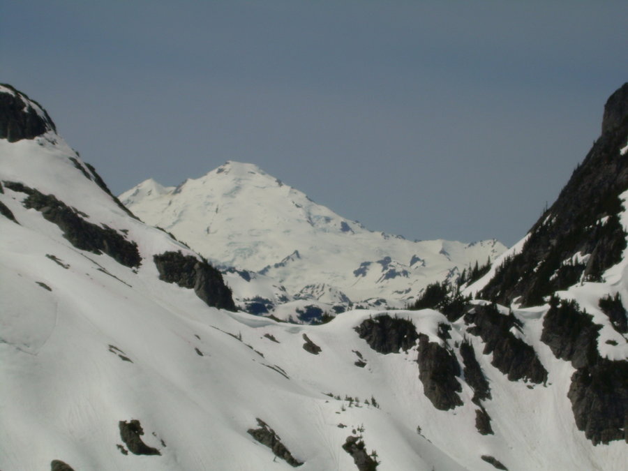
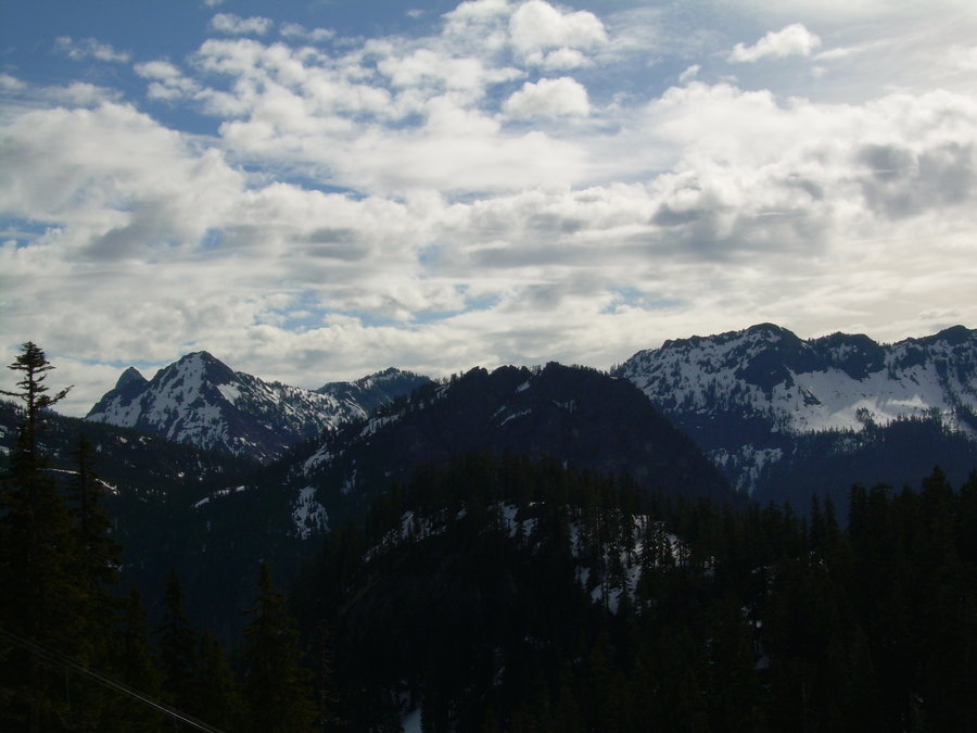
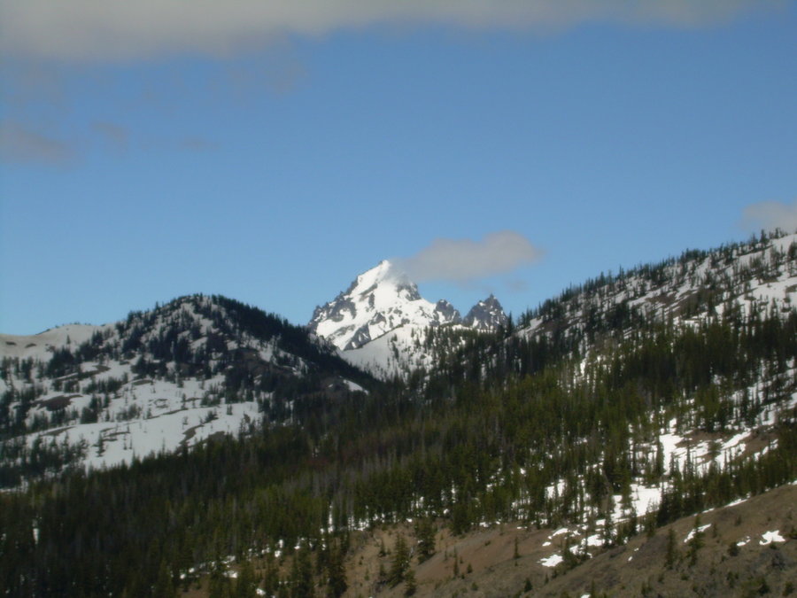
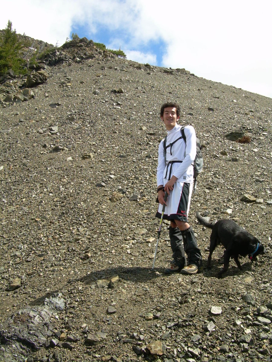
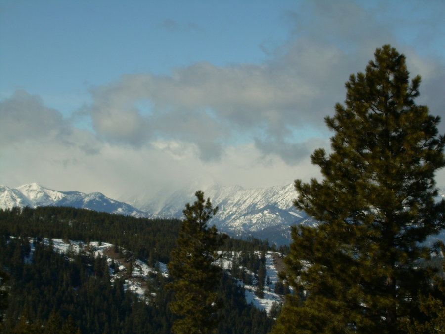
July 13 – July 14, 2013


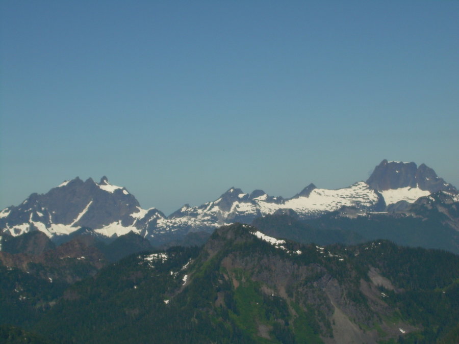
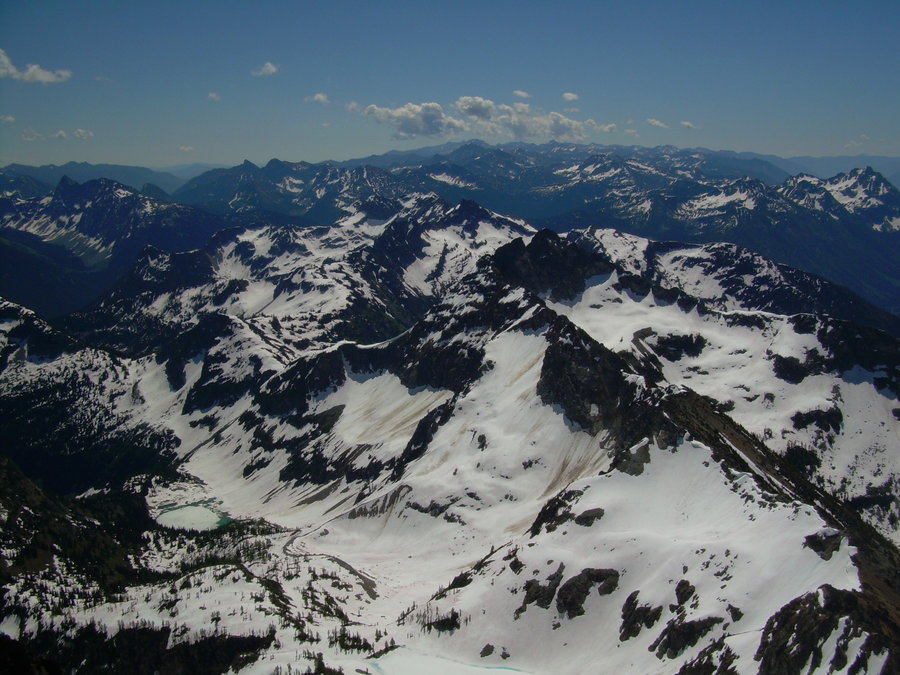
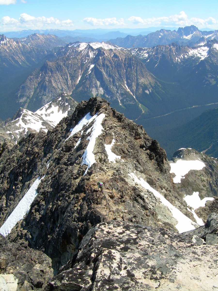
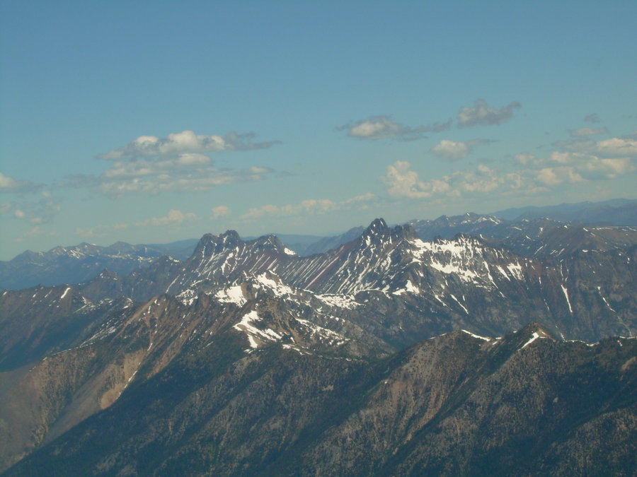
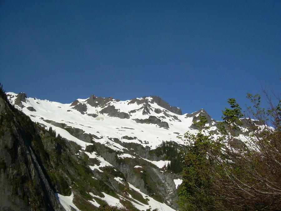
Black Peak
13.5 miles of hiking • 7000' elevation gain • 2 nights
New Summit - 7 of 20 for the Year 2013
This trip started out with one of my life time friends telling me that his pops was coming to visit from Colorado. We started talking about areas and peaks that would be good for someone to really experience the north cascades. We had a short list and it was all going to depend upon the weather. We would either head east or north. Wednesday afternoon the forecast looked bomber for the North Cascades (which is still always a gamble as we would soon find out) I sent out a few text messages and plans were set. We would leave work early on Friday and drive up to the trail head to camp for the night. Then on Saturday we would hike in to Lewis Lake and setup camp. I tossed out the idea to try for Black Peak on Sunday and possibly Corteo Peak on Saturday since we would get to camp early enough to do a day climb that afternoon. Everyone was on board and all we needed to do now was hit the road.
After being held up at work for a bit... we finally hit the road around 2:30. Just in time to get stuck in traffic all the way from Seattle to Everett !!! Woohoo talk about fun, but at least we did get to test out the new temporary bridge on I-5. We stopped at the Buffalo Run in Marblemount to have dinner. We filled up on Buffalo and Beer. Shortly after that we made our way down to the trailhead to camp for the night. We drank a bit more and shared a few laughs before turning in.
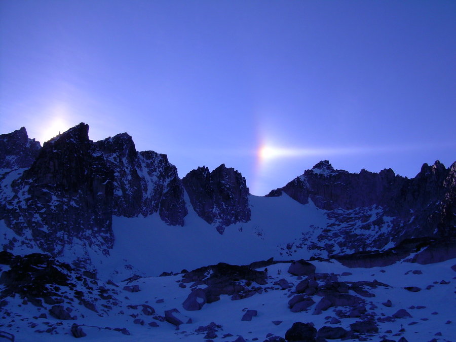
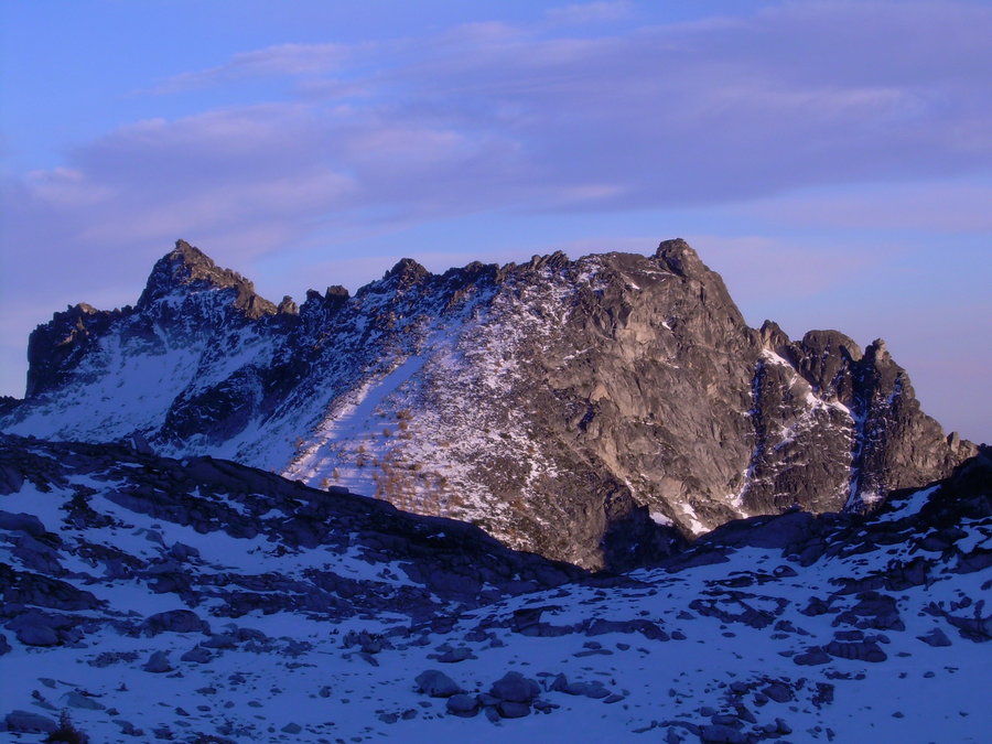
The following morning we woke up to what seemed like a gorgeous day. Nope not so much... Just as we were sorting and packing up our gear, we hear a couple of really loud booms. Thunder was in the area and so were some really nasty dark clouds. Everyone questioned my forecast ability and took jabs at me, but I promised them we would climb above it in about an hour. Sure enough we started to break through the rain and pea soup layer just as we reached the last few switch backs up to the ridge. From there it was an easy traverse over to Lewis Lake. We made great time and were all setup at camp before noon, so we decided to give Corteo a try. We got pretty high up on the ridge before an afternoon thunderstorm caught up to us and forced us down. Then like usual just as we got back to camp, the sun decided to come back out. We dried everything out and took afternoon naps. Later we had dinner and marveled at Black Peak which would be our big objective for Sunday.
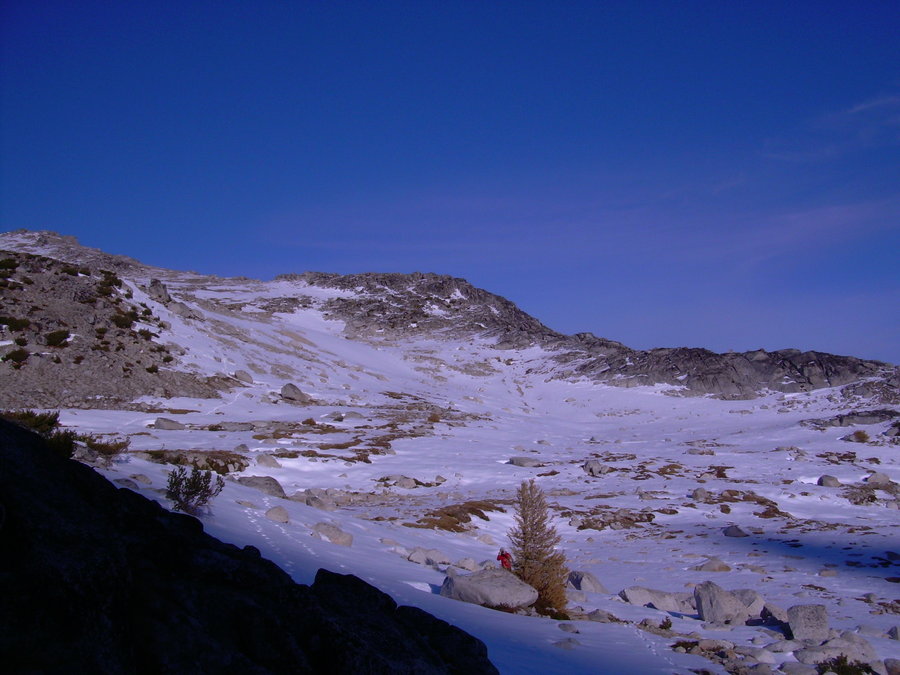
Sunday morning we slept in a bit, but still broke camp around 7. We made good time on the approach up to the saddle of Black. From there we geared up and got ready for the South Ridge Scramble. It ended up being a very enjoyable climb on some good solid rock. A couple class 4 sections up towards the top made for a nice finish to a great adventure. This was the first summit that I have shared with Paul and it will be one that I will always remember. A few years back I missed out on the Rainier adventure when he came to visit. So I knew missing this one was not an option. Special thanks to the love of my life "Mayumi" for understanding how important this trip was to me and allowing me to go off on this adventure on the weekend before she was heading back up to Alaska for a month due to work.
On the way out we enjoyed a few nice glissade runs and then it was a long hot slog out with full packs. We ended up right back where we started at the Buffalo Run for some much needed food and beverages. The drive home proved to be the crux of the climb. Another 4 hours of being crammed into a car after hiking for over 12 hours was not fun !!! Special Thanks to my buddy Jason as well for helping share the drive time.
June 28 – June 30, 2013


 4
4
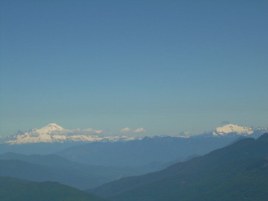
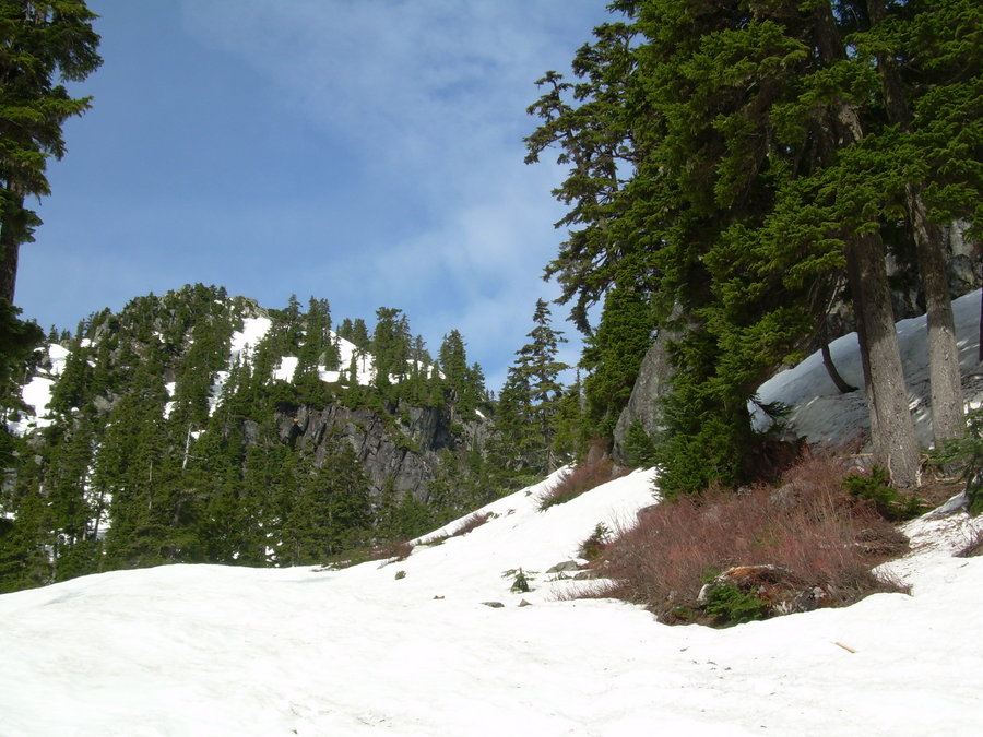
Ruth Mountain
10 miles of hiking • 4500' elevation gain • 1 night
New Summit - 6 of 20 for the Year 2013
Ruth Mountain has been on my to do list for a number of years. A few years ago Mayumi, Jason and I went to Hannegan Pass with a plan of climbing Ruth and traversing over to Icy Peak. This was not meant to be, we ended up spending 4th of July in a tent for over 48 hours while waiting for the rain to stop. Then on the morning we broke camp the clouds finally parted and we got a peek-a-boo view of Ruth. I knew that someday I would return and it would have to be the perfect forecast.
Early in the week I started looking at forecast models for the Mount Baker area. Things were looking a little iffy, but as the week progressed Saturday seemed to be shaping up nicely. Friday morning I packed up all of my gear before heading to work. Not knowing what my final plans were going to be, I packed just about everything so that I could leave all of my options open. I knew that two things were a must... 1.) an overnighter and 2.) a new summit. So after lunch I checked the forecast again and Saturday looked great with Sunday having a chance of afternoon showers. The stage was finally set for my return to Ruth Mountain, now the only question was do I overnight up at Hannegan Pass again or try and pack light for a 1 day push. I drove up to the trail head Friday night and didn't get in until after midnight. I quickly pitched my tent and settled in at the campground near the trail head. The decision had been made. I would close my eyes for a few hours and get up early to do a day climb. I left my tent set up in the morning so that I could stay an extra night if needed. Turned out this wasn't needed, because when I got back down all I wanted to do is get the heck outta dodge and grab a brew / warm meal.
The approach was nice and brisk. I made good time up to Hannegan pass. There were a number of blow downs and hairy creek crossings along the way. Although the snow bridges were nice and firm in the morning, I knew they were going to be problematic in the afternoon.... (which they were !!) Once I was at the pass there was a great view of Ruth and the ridge route that laid ahead of me. So I geared up and slogged on. There was always a nice cool breeze along the way up. (not the case on the descent) The higher I climbed... the better the views got. It was hard not to stop and take a picture every couple hundred feet, but I knew that the Summit was going to reveal the stellar views of the Nooksack Cirque that had not quite shown itself yet. Turns out... it wasn't until I hit the summit that this view came into sight. It was amazing and pictures just don't do it justice. By far the best viewpoint that I have ever had the privilege of taking in. There is even 3 bivy sites on the Summit. I look forward to making a return and camping up top. Then you can make a traverse over to Icy Peak.
I could have spent hours up on that summit. No wind and views that would take your breath away. But I had to get down and out if I was going to break camp and drive home tonight. The glissade from the summit was nice. I actually made it down faster than the skiers. Then it was a long hot hike out through the valley. Luckily I remember to stash some beers in a snow bank by my camp site. This kept me motivated and moving !!! What a great trip out... the crux of the climb ended up being the drive home. I had to pull over at a rest stop near Everett and close my eyes for an hour before hitting the road again. I got home around 1:00 a.m. and was glad to be sleeping in my own bed !!!
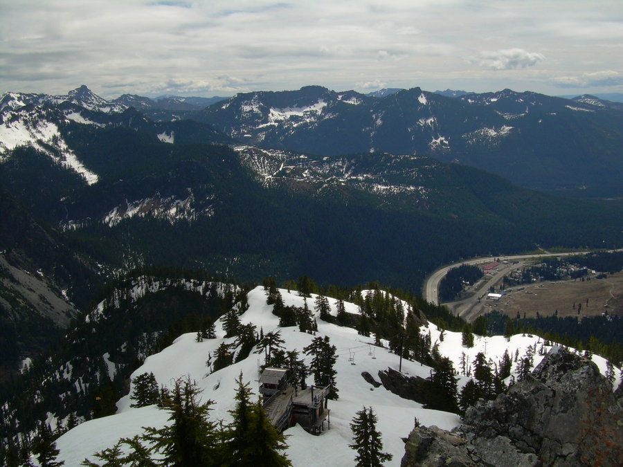
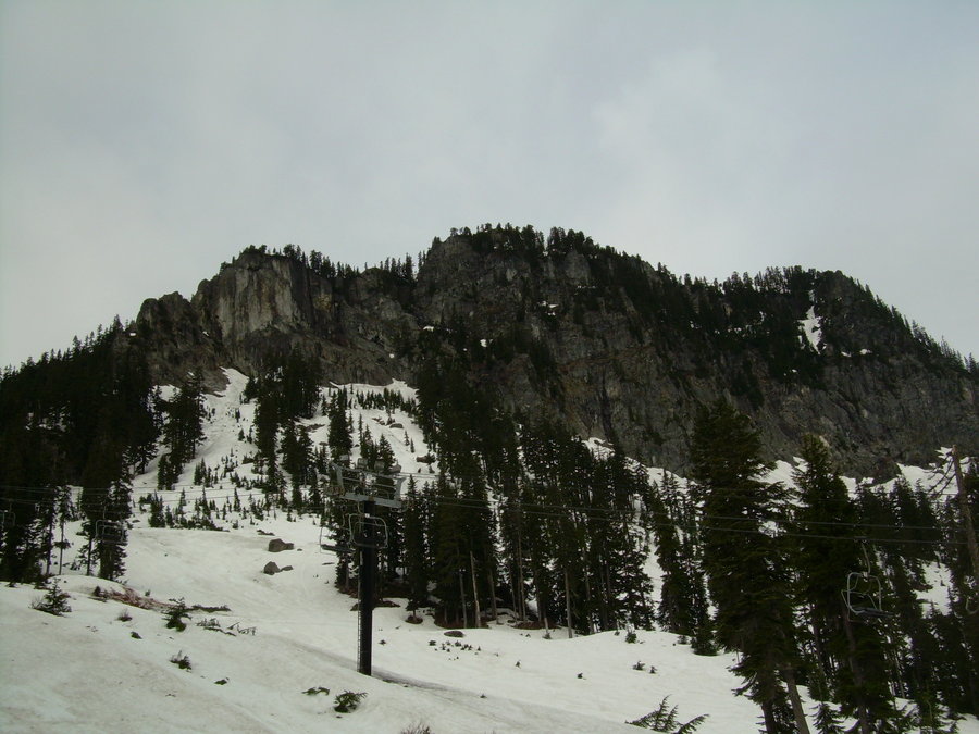
June 14 – June 15, 2013


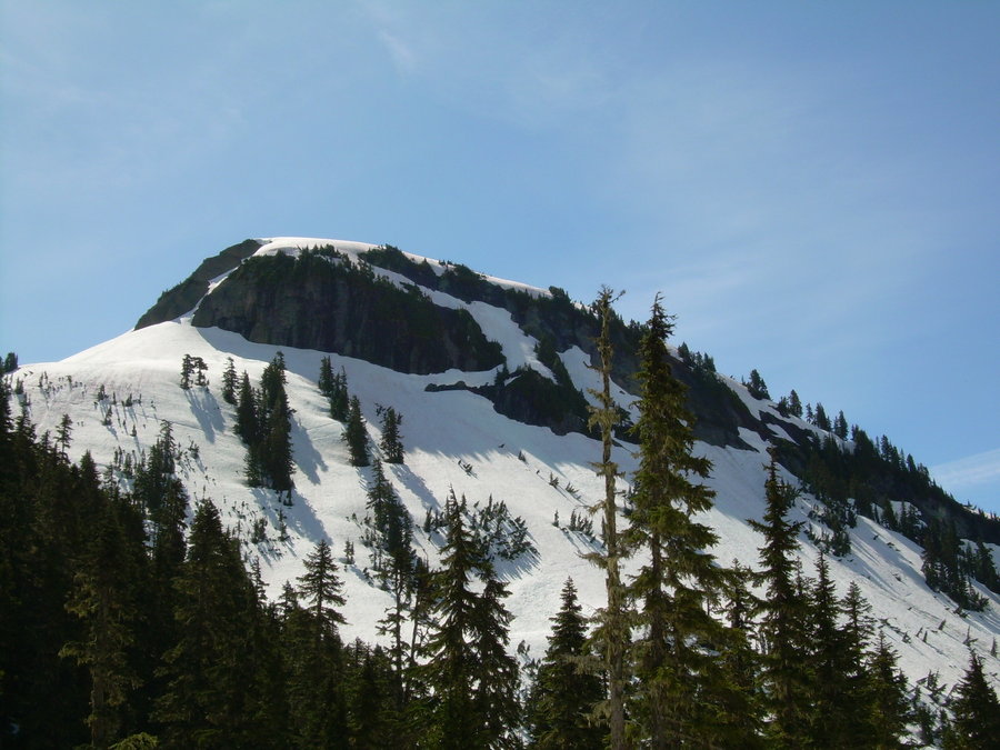


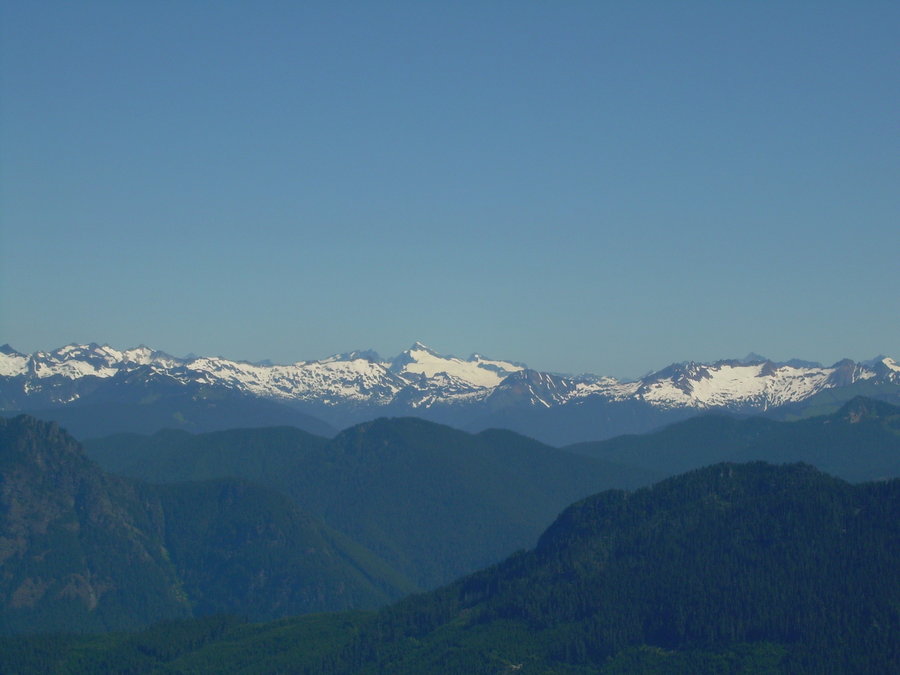
Denny Mountain
4 miles of hiking • 2500' elevation gain •
New Summit - 5 of 20 for the Year 2013
Had a great trip out today with The Angry Hiker. With an iffy forecast, we got an early start this morning to maximize our weather window. Turned out to be a great day either way and the early start ended up keeping us cool. After a little bushwhacking and some fun creek crossings, we finally hit consistent snow and started to make quick work of the approach. Although most of the approach is spent following lift lines from the ski area, it still had an alpine feel to it and I would catch myself getting lost in the beauty that is Alpental. We knew the summit block was going to be tricky due to moats and a short rock scramble. It didn't disappoint and ended up being a spicy finish to a perfect day.
After taking in the views we got ready for some of the best glissade runs that I have had all year. The snow was creamed corn and we were able to let it rip. What was left of the moguls... made for some nice jumps !!!
June 1, 2013


Freedom Peak
8 miles of hiking • 3500' elevation gain •
New Summit - 4 of 20 for the Year 2013
Set out early this morning with Keetann and Mindy. It was the first climb of the year for all 3 of us as a group. It felt great to spend some time out in the wilderness with them again. The forecast for western Washington looked grey and damp, so we looked east and found some sunshine in Teanaway. After a rainy drive over Snoqualmie Pass we were treated to bluebird skies and a clear look at Stuart and the Enchantments. Today was going to be a great day and boy it didn't disappoint.
We made quick work of the approach and began scrambling up scree and random patches of snow. At the rate we were going I thought we might be able to squeeze in a 2-fer or even a trifecta. But after reaching the summit and taking in the views we both decided the other 2 peaks were walk-ups and weren't worth the effort today. The snow has been melting fast up there and it would have been a lot more scree walking. We did however spot a nice patch of snow down from Navaho Pass and wondered if we could glissade down into the valley. After some plunge stepping and traversing... we found our patch and off we went. We were down in the Stafford Creek Basin in no time.
I will have to make a return trip for the 3 Brothers and Navaho when there is more snow. Overall a great area with an easy approach.
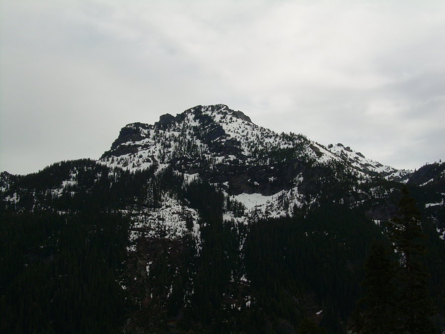
May 19, 2013


Granite Mountain
6 miles of hiking • 3750' elevation gain •
Left work early on Friday to go squeeze out the last bit of sunshine, before the rain comes again. After reading reports and seeing the memorial for the climber that died up on Granite by an avalanche on April 13th, we were all thinking of Mitch as we climbed on into the sunset last night. It sounds like he was a great man and an avid mountaineer. He will be missed RIP.
http://www.komonews.com/news/local/Searchers-find-body-of-man-missing-in-Cascade-Mtn-avalanche-206593211.html
We had great weather and a nice sunset. The snow conditions were solid and even a bit soft up towards the top. The winter route is still in pretty good shape and we made quick work of the descent with a nice 2,000' glissade. We were at the bar having beer by 10:30... !!! A great way to start the weekend and welcome back the rain.
May 10, 2013


Poo Poo Point Training Runs
7.5 miles of hiking • 3500' elevation gain •
This is going to be an ongoing entry that will capture my stats as I begin to train for this summer. It will continue to grow in mileage and elevation gain. It will also include times / dates and a few notes.
The stats for this hike are as follows:
3.8 Miles Round Trip w/ 1,690' of Elevation Gain. This is the Chirico Trail to Poo Poo Point.
................................
April 24th - Estimated time 2 hours. Went up with some friends and spent a lot of time at the top. Trail was in good condition and it felt great to get out after being sick for over a month.
................................
May 11th - First official timed run up the poo this year ( 1:46:16 ) Felt a little sluggish after the climb last night. But it felt good to get out on back to back days and squeeze in even a little more Vitamin D before the rain heads back into town
.................................
April 24, 2013

Mount Kent
9 miles of hiking • 4000' elevation gain •
New Summit - 3 of 20 for the Year 2013
What a great way to top off a perfect birthday weekend. The forecast for Monday was mostly sunny and I had a day off from work.... Now what was I to do ? Ahh... Mount Kent !! After my recon mission from a few weeks ago, I knew that the approach was dialed in. Now I just needed to find the Couloir and get up to the summit ridge.
This time around most of the downed trees and creeks were filled in with snow, so it made the approach much easier. Shortly there after we were climbing up a nice 50 degree Couloir. Mindy (my stepson's dog) was cruising right along in my foot steps. Then we hit a nice fat ice bulge about half way up, and I was forced to cut some steps to exit the gully for a few hundred feet. This was exhausting and took a lot of time. After dropping back into the gulley and checking the horizon to see where the sun was..... I knew we were going to be cutting it close on daylight. I started to mentally prepare myself for a long trek out under the stars. Soon we exited the Couloir and gained the ridge. We were greeted with high winds and the last little bit of sun. It felt great to feel some warmth and see the summit in sight. Time was an issue so we had to press on. Luckily when we got to the summit it was super windy... so there was no messing around. Snapped a couple photos and started heading down. We had a couple nice glissade runs !!! Then it was a long traverse back over to the Alice Creek basin. We hit the basin just as the sun went down. Out came the head lamp and off we went. A long day out... but a well deserved summit. Special thanks goes to Randy for helping me out on the Recon Mission a few weeks back.
March 4, 2013


 2
2
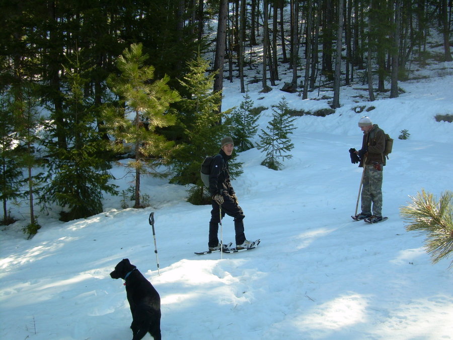
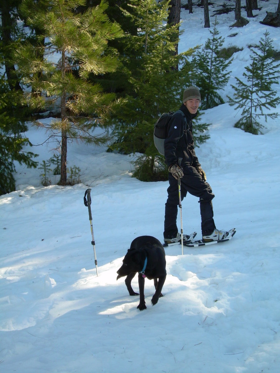
Slow Shoeing in Wenatchee w/ Pitcher Peak
7 miles of hiking • 2000' elevation gain • 2 nights
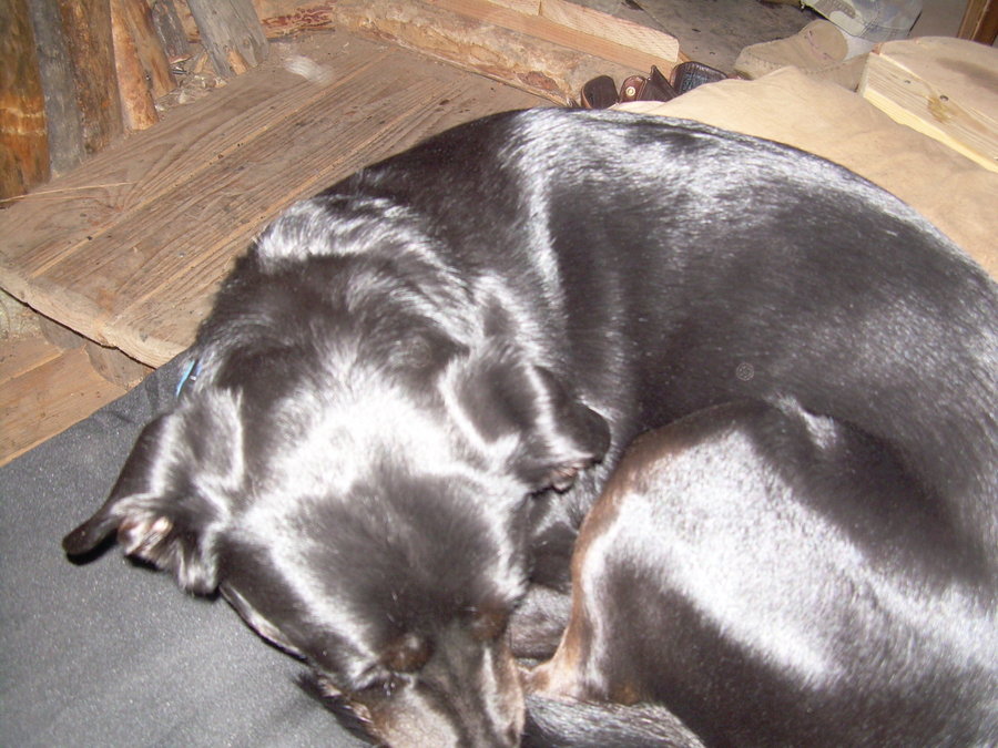
We hiked in a few miles to my friends cabin and spent 2 nights and 3 days snow shoeing around. We had a great time and were even able to sneak in a few hours of sledding. On Saturday we hiked up to Pitcher Peak under blue bird skies. While Western Washington was getting snow and rain... we were out cooking under the sun. The backside of the enchantments came out for viewing and then even Mount Stuart poked out for a few minutes. What a great 3 day weekend !! Thanks to Michel, Keetaan and Mindy for making this a weekend to remember.
February 22 – February 24, 2013


 2
2
Bryant Peak
5 miles of hiking • 2750' elevation gain •
New Summit - 2 of 20 for the Year 2013
Had a great day out...even though the weather report didn't pan out as expected. Lots of fresh powder goodness and steep mixed climbing on the ridge. A short approach in the winter with some good alpine climbing.
February 9, 2013


Mount Kent - Recon Mission
9 miles of hiking • 1250' elevation gain •
Went to Check out the North Face of Mount Kent on Saturday. Looks like an amazing area and worthy of a summit push in the coming weeks. Snow conditions varied... with some areas being extremely slow on the approach. We almost reached the base of the climb after 4 hours of breaking trail. There wasn't enough daylight to make a summit bid. Going to try and head back soon. Looks like there is some other good peaks to bag as well.. The Duke & Dutch-es of Kent. Might have to make it an over-niter.
February 2, 2013
 1
1
Humpback Mountain
9 miles of hiking • 3000' elevation gain •
New Summit - 1 of 20 for the Year 2013
Had the whole Mountain to myself. It was an epic day with every kind of weather and snow condition you could imagine. Low snow pack in the valley and deep powder on the summit.
January 25, 2013
