

22 miles of hiking • 6250' elevation gain •
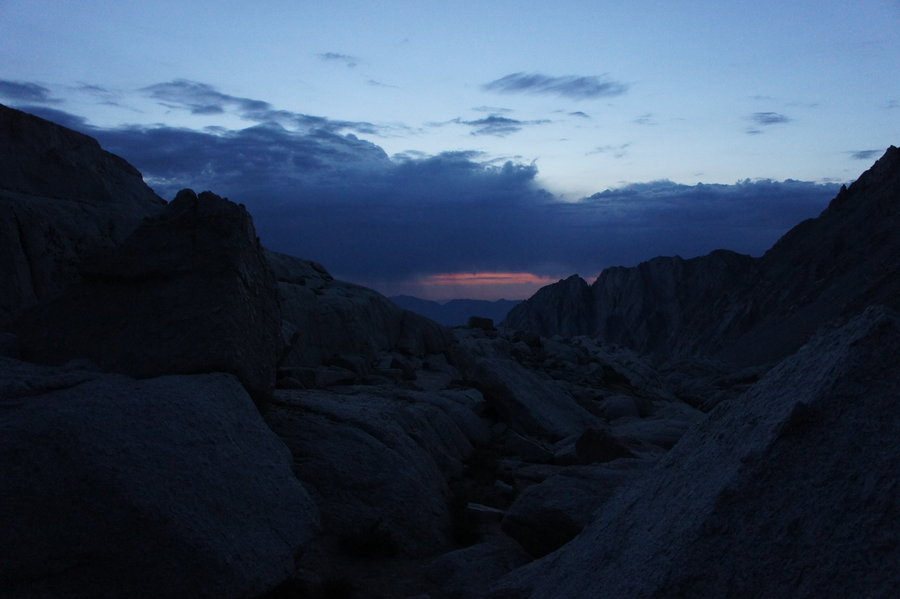
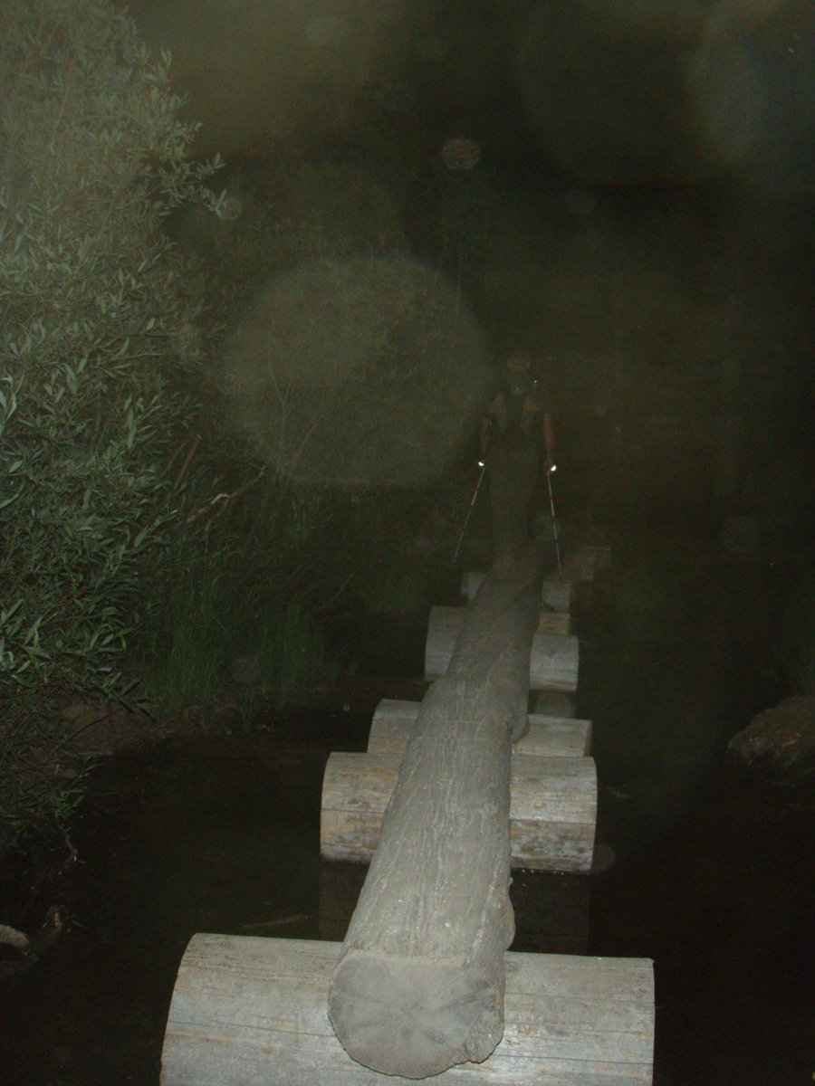
We started up the trail from Whitney Portal shortly after 1am, after about 5.5 hours of sleep. We wanted to get an early start since the forecast was calling for a 30% chance of thunderstorms after 11am. It was a warm, clear night and we were some of the first day hikers on the trail. We quickly made it up to the junction to Lone Pine Lake. I was glad that we had hiked the same stretch a couple days earlier, as the start of the trail also had the most boulder hopping and log crossings. As we continued up the trail, we could see the lights from cars, pulling into the TH parking lot and the shining headlamps of hikers behind us.
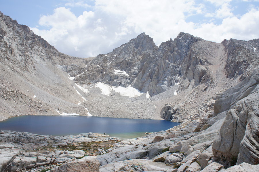
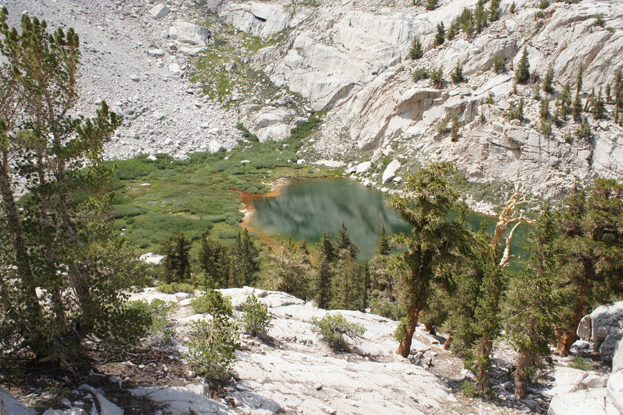
We were at Outback Camp about two hours into our hike. In the darkness, we only saw a few tents, but there could have easily been many more. Once we passed Outback Camp, we continued following the trail past brush and then some rocky sections. The trail was a little less discernable in some the the rocky areas, but after some inspection, we were quickly on our way. We passed through creekside meadow and Consultation Lake in the darkness.
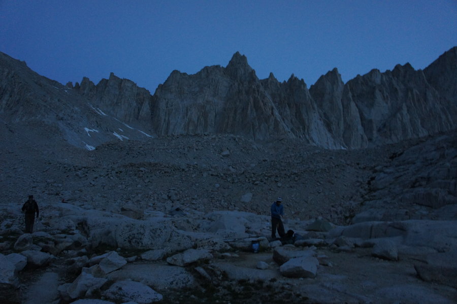
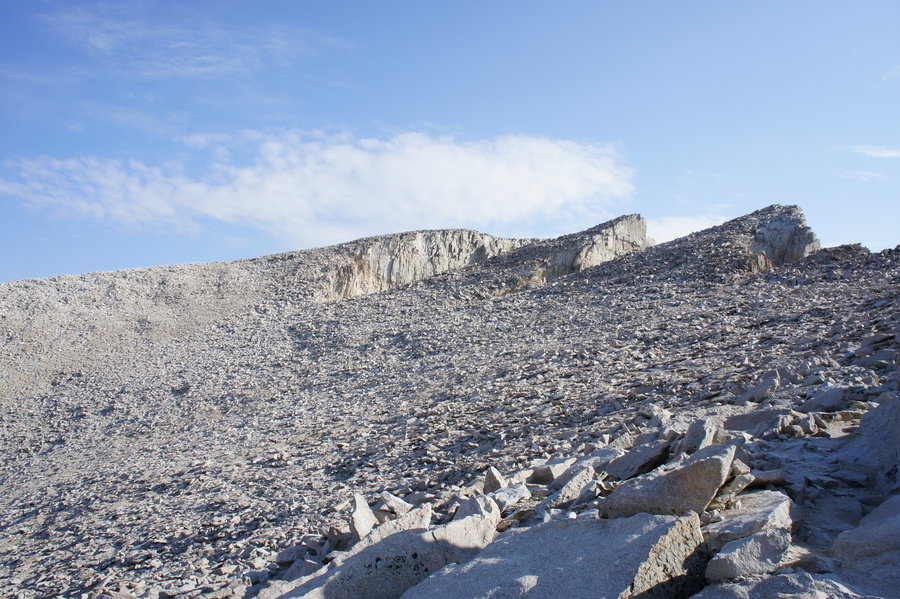
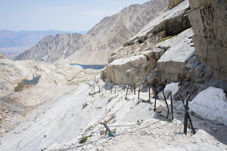
Daylight started to break just as we were approching Trail Camp. We had travelled about 6.5 miles and gained 3500 ft of elevation in 4 hours. As we were passing though, some of the backpackers were just starting their day. Since there were still a lot of quiet tents, we continued up our way toward the cable section and the infamous "99 switchbacks" to Trail Crest. Btw, I did not count the switchbacks.
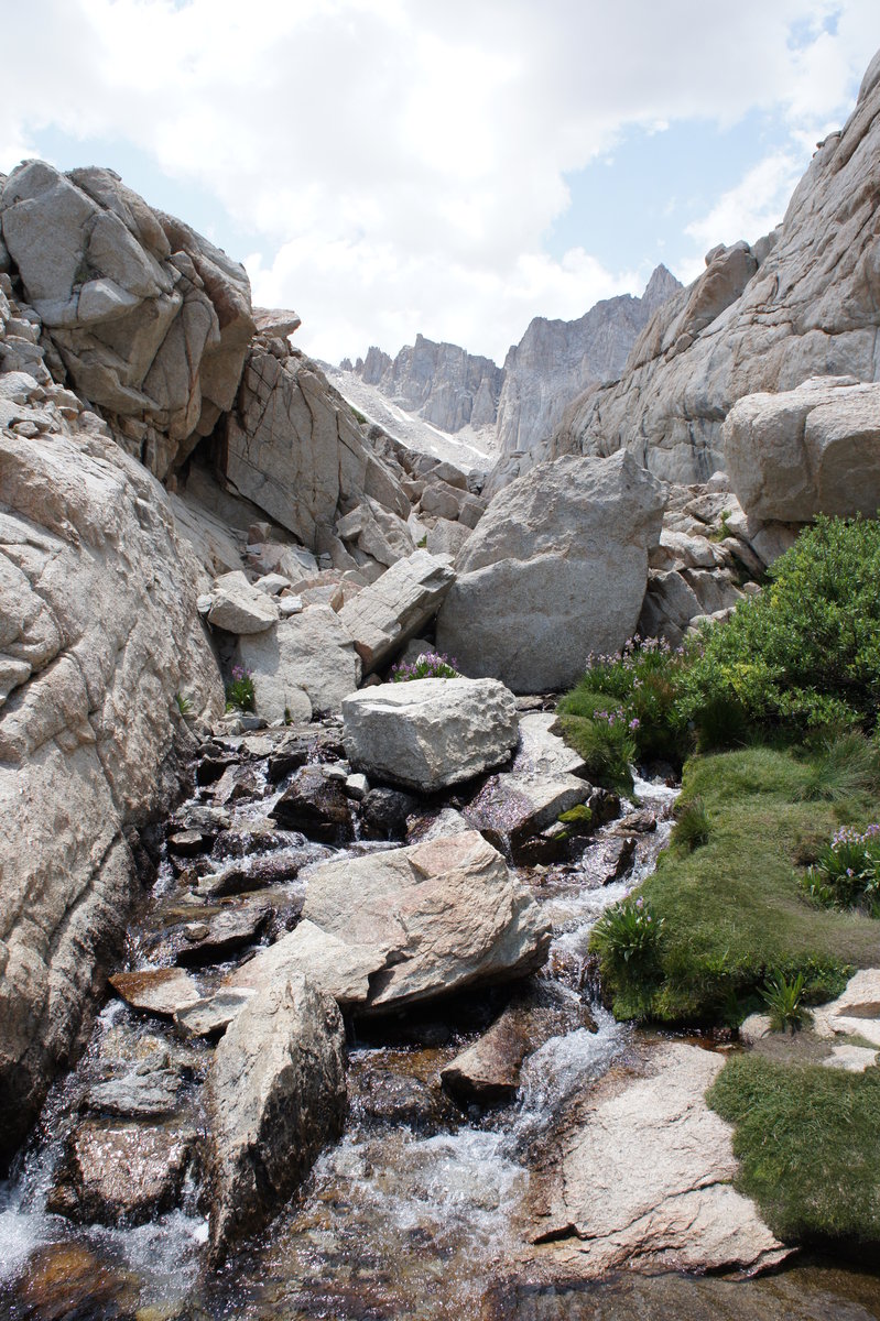
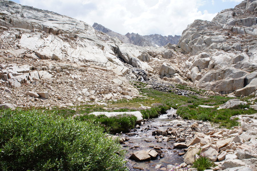
We watched the sunrise as we trudged up the switchbacks. We could see Trail Camp starting to come to life in the valley below. We passed several switchbacks that had water running over them from a spring at about mile 6.7 (12,400'). This is the last water source on the trail. We were carrying plenty of water, but had plans to stop at this water source on our return. We used this as a reference for water sources on the trail (http://www.ridgenet.net/~rockwell/Whitneywatertrail.pdf).
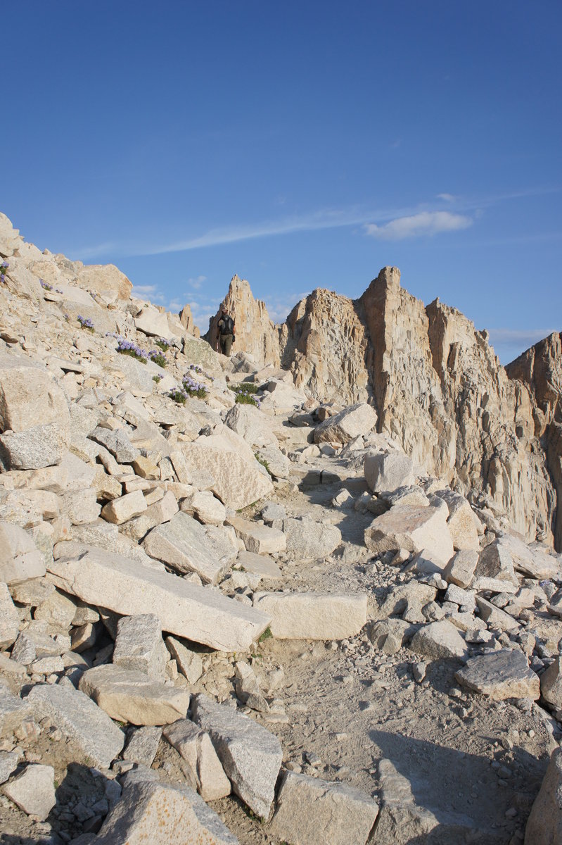
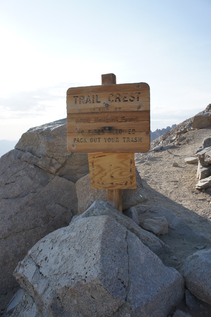
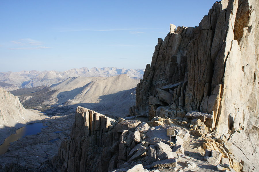
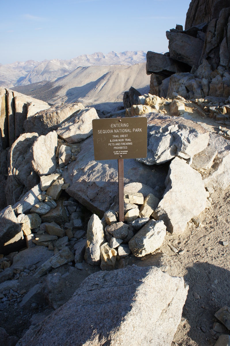
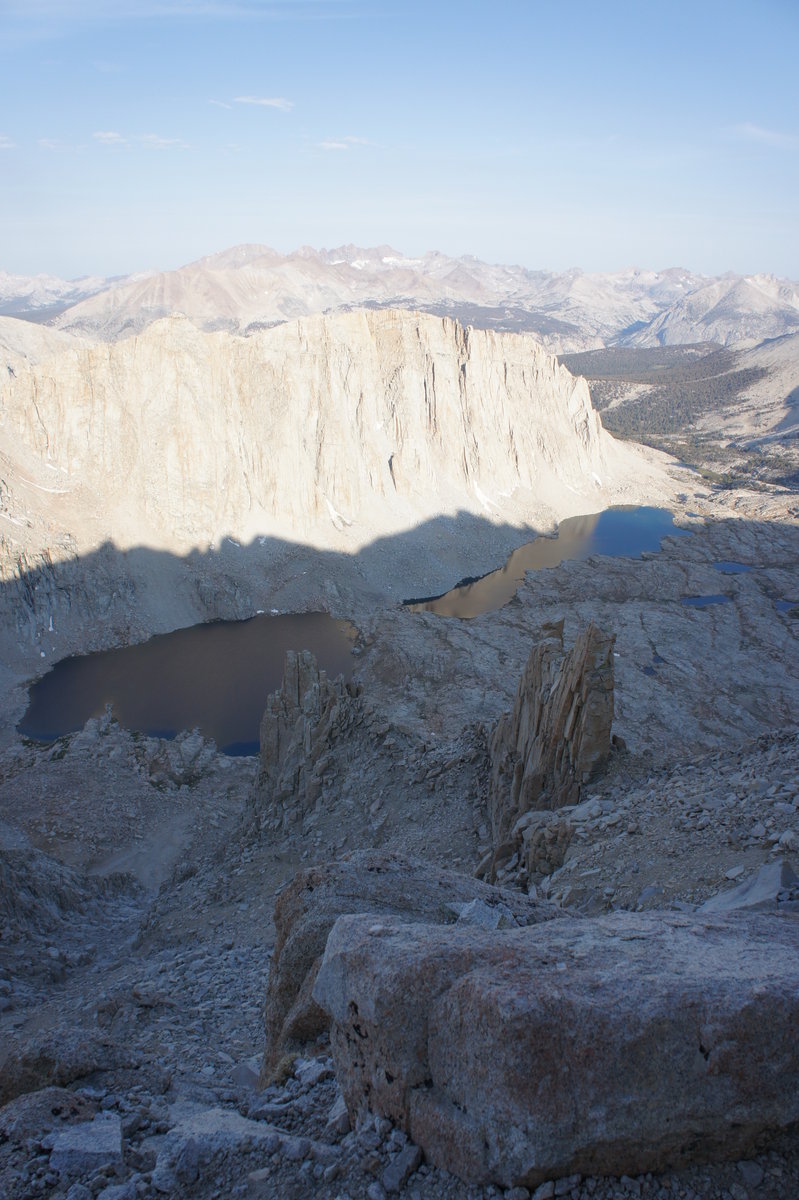
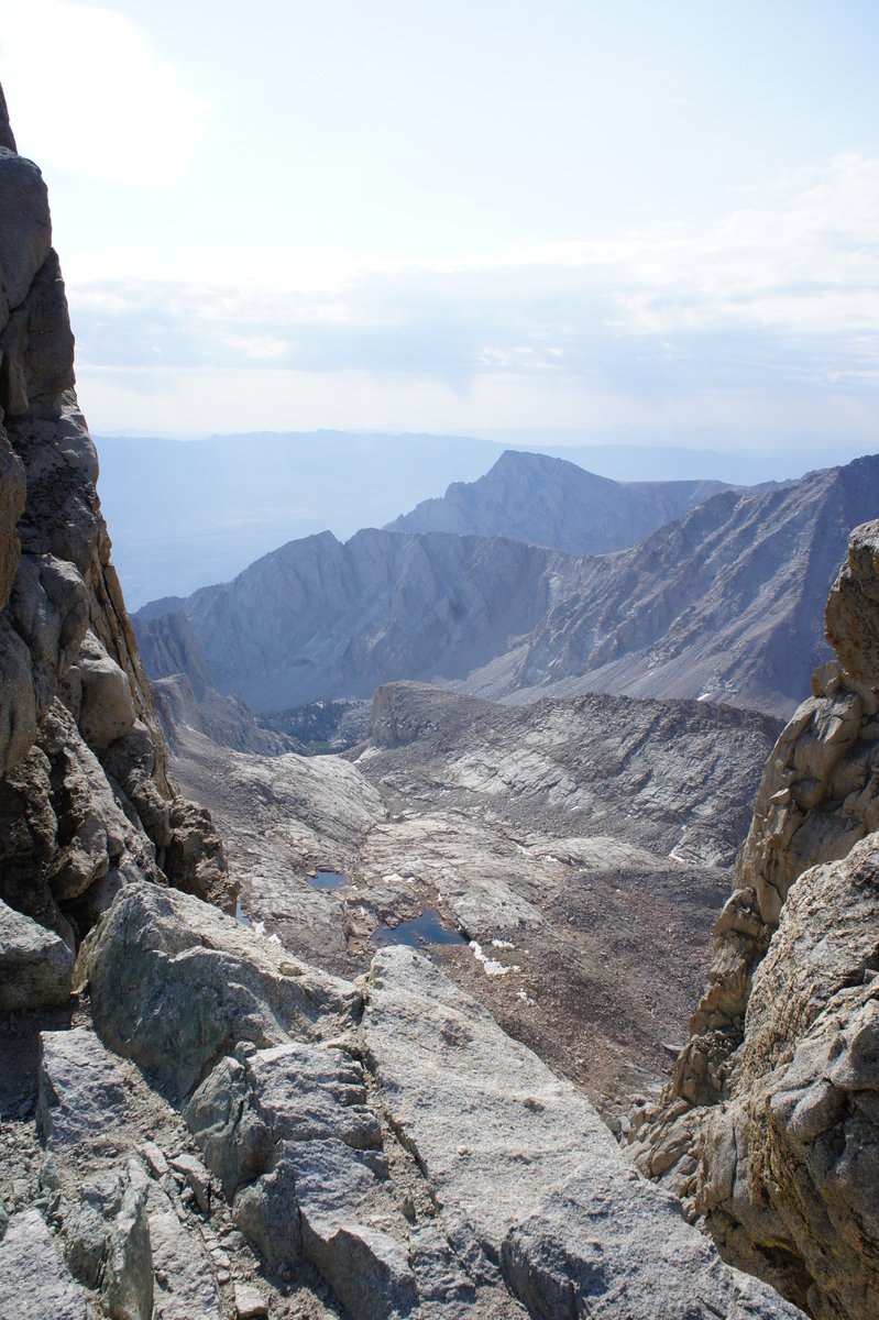
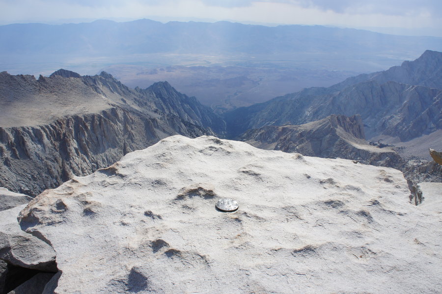
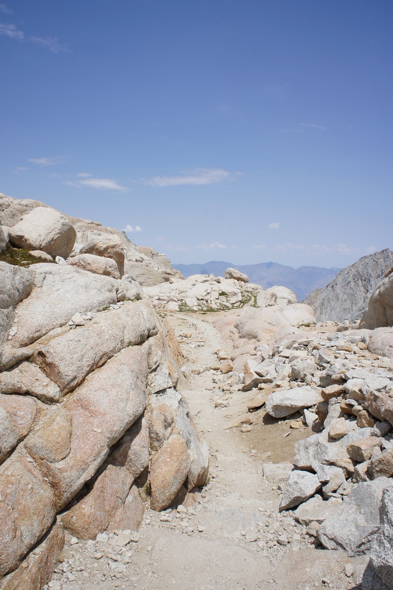
We made it to Trail Crest at 7am (mile 9, 13,600'). The sun was just starting to make it over the peaks to the summits and valleys below in Sequoia NP. We continued a short distance to the junction with the JMT, where there was a sign that stated Mt. Whitney - 1.9 miles. At that point, someone in a group of backpackers who had stopped there, told us "It may be only 1.9 miles, but it will be the longest 1.9 miles ever." We continued on. This section, all the way to the summit had areas of boulder fields and loose rock. After working our way past the windows, low points between peaks, that allowed glimpses back toward the Owens Valley we finally got to the final summit push.
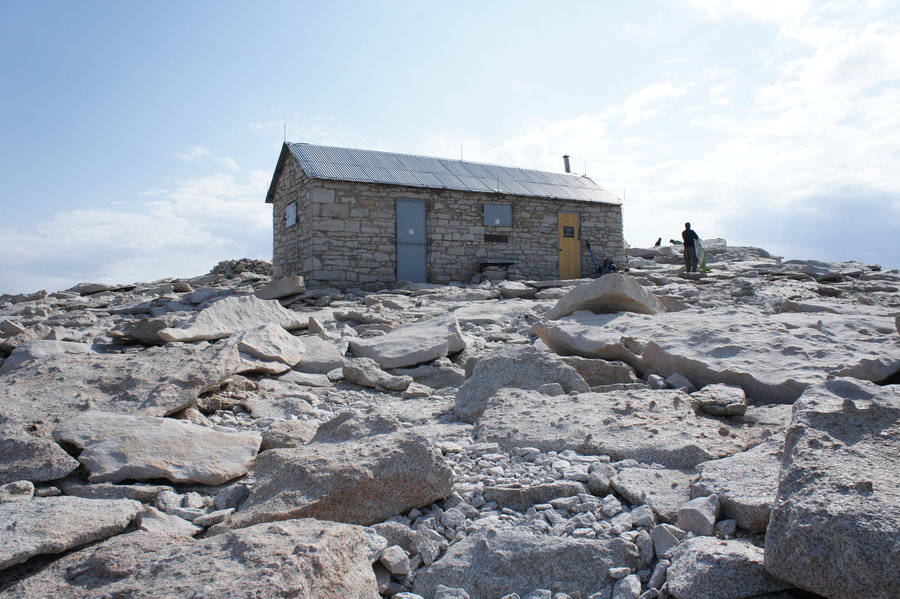
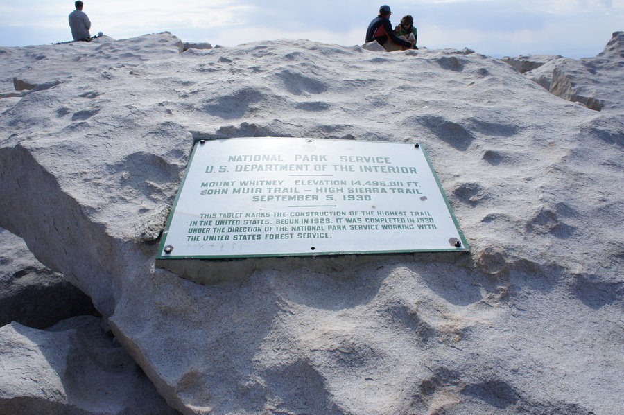
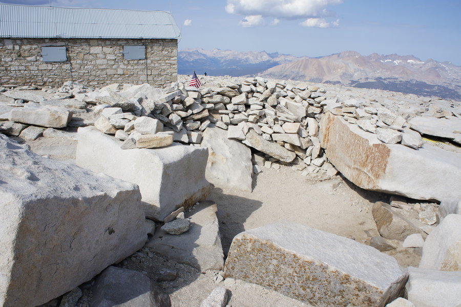
At 9am, we finally made it to the top! As I mentioned, it was a warm day. At 14,500', it was a balmy 53F! We signed the register, found multiple USGS markers, took pictures, posted FB updates (yes, most phones get signal at the summit) and took a break for lunch. After 1.5 hours a the summit, we headed back down.
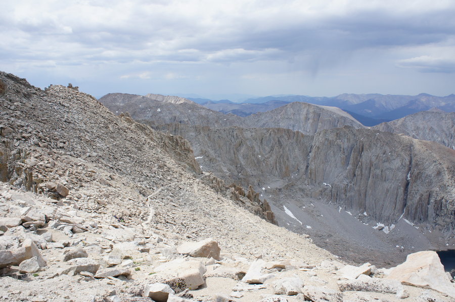
As we were heading back down, we could see dark clouds and rain in the distance to the southwest. Luckily, it stayed mostly sunny for our return trip. It took quite awhile to make our way back to Trail Crest. You would think that heading down from a summit like Mt. Whitney would be well, downhill. Well, this is not the case, as the section of trail between the summit and trail crest has some sections of steeper uphill on the way out. When you're at about 14,000', uphill is just hard. Period. We also had to step to the side of the trail many times, since there were now finding a lot more hikers on their way up to the summit.
Finally, we were on our way down the switchbacks. We encountered a family that had run out of water on their return. Their goal was to make it to Trail Camp to refill. We kept a watchful eye on the group all the way down to the first water source on the switchbacks. It was hot, sunny, and exposed. Perfect conditions for heat related illnesses.
We stopped at the spring on the switchbacks, along with a lot of other hikers, to refill our water. Cold water. :)
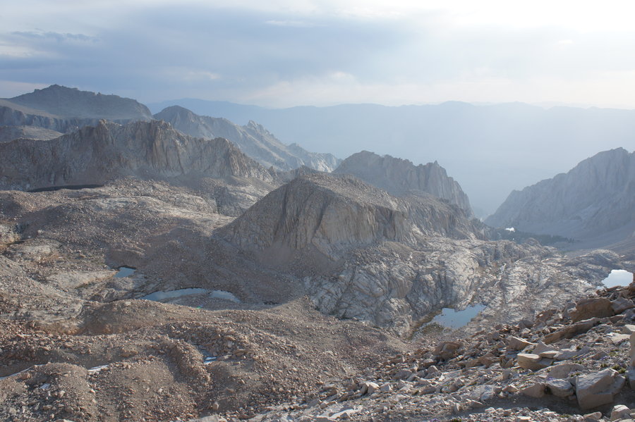
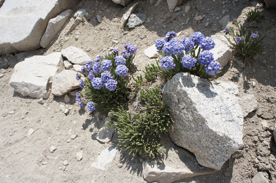
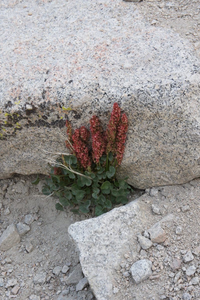
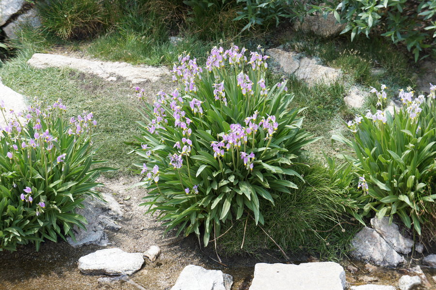
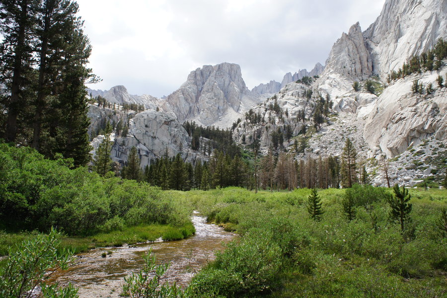
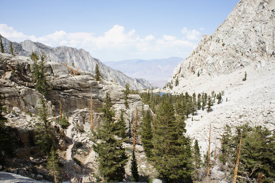
Then it was down through Trail Camp, and to the section of trail we hiked in the early morning darkness. As we passed Consultation Lake, we were able to notice a waterfall, we could hear, but not see as we hiked past in the morning. We were also able to enjoy the views of the valley walls, the wildflowers, and meadows that lined parts of the trail. Most of the trail including Trail Camp and Outback Camp is relatively treeless, so we were exposed to full sun almost all the way down. Trail Camp is above tree line. Outback camp has some trees, but shade is sparse.
We finally made it back to the TH at 4:45pm, where we quickly dropped our backpacks and boots at the car and then headed into the Whitney Portal Store to grab burgers and beer. Mmm...burgers and beer. Good weather, great hike. Summit accomplished. :)
Additional Notes
Pre-hike details:
Permits - There's really four ways to get permits. We got our permits via option
1) Enter and win the permit lottery (Online - Usually in February)
2) Claim one of the remaining unreserved permits after the permit lottery winners are announced. (Online - Usually April)
3) Claim permits unclaimed by lottery winners (Online - Usually May)
4) First come first served in Lone Pine (In person - the day before your hike)
We got our permits via either option 2 or 3, once we knew there was a high chance the trail would be free of snow in early July.
Acclimation - We spent several days acclimatizing, as we wanted a high chance of success. We spent 3 nights at just under 5000 ft (conveniently, at a family reunion, in the South Sierra) and then two nights in Whitney Portal (8000ft). Campsites in Whitney Portal are difficult to get online. I found ours because I have a habit of incessantly checking recreation.gov. What we learned when we arrived is that there is some first come - first served, and it seemed like there were a lot of no shows and last minute cancellations. Although we were in Whitney Portal the week of July 4th, the campsite next to us was empty the entire time, due to no shows.


Bosterson
July 9, 2013
Wow! That's crazy how little snow is left. When I was up there at the end of the JMT last September, it was dawn and the wind was too cold to stay outside the building. Way to dayhike it - that 6000 ft descent is kind of brutal!