Karl

68 trips 805.5 miles logged 4 nights out in 2014 Subscribe to updates

Hikes by Karl in 2014

December 30, 2014 5.5 miles 1,750 feet gained

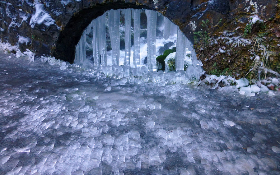
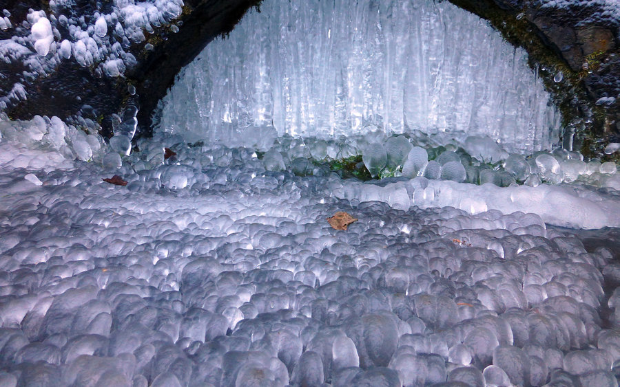
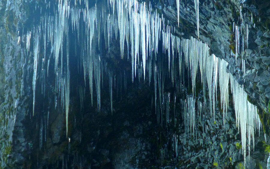
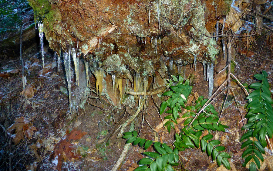
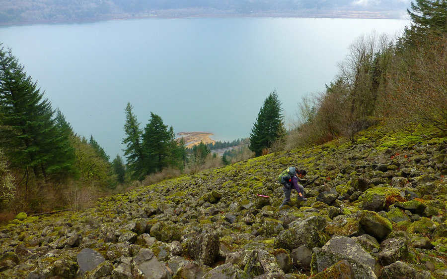
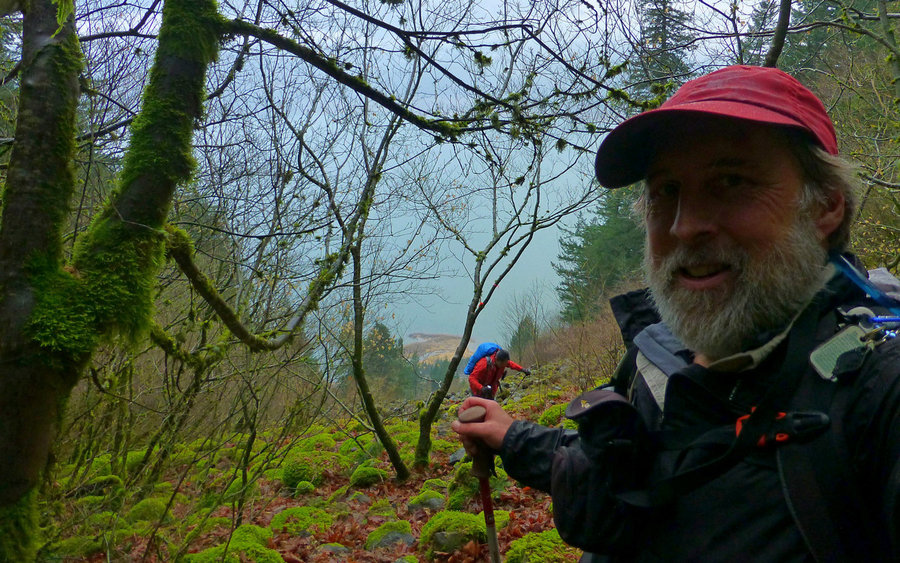
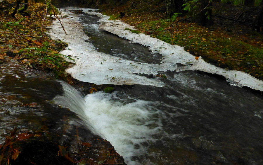
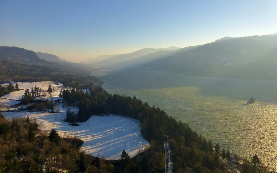
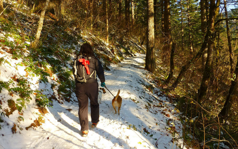
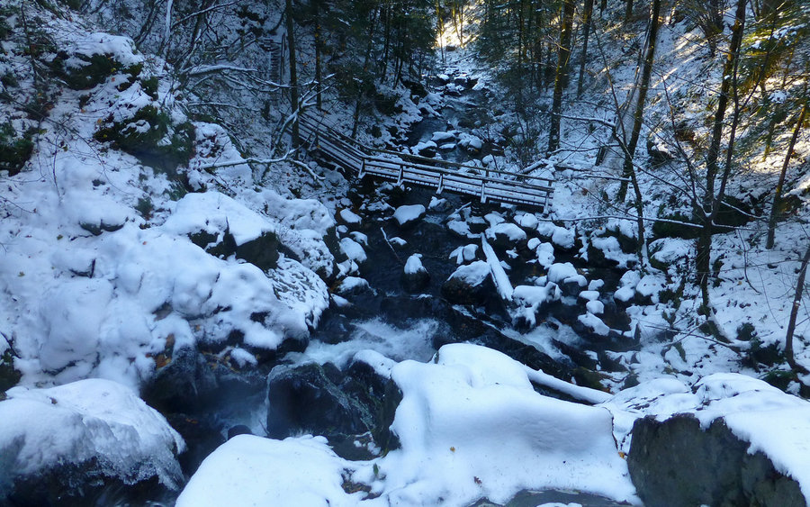
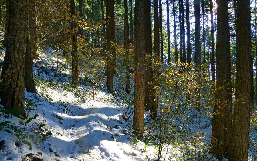
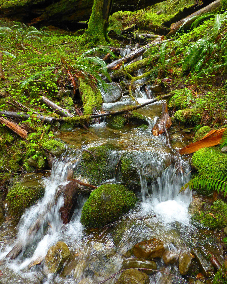
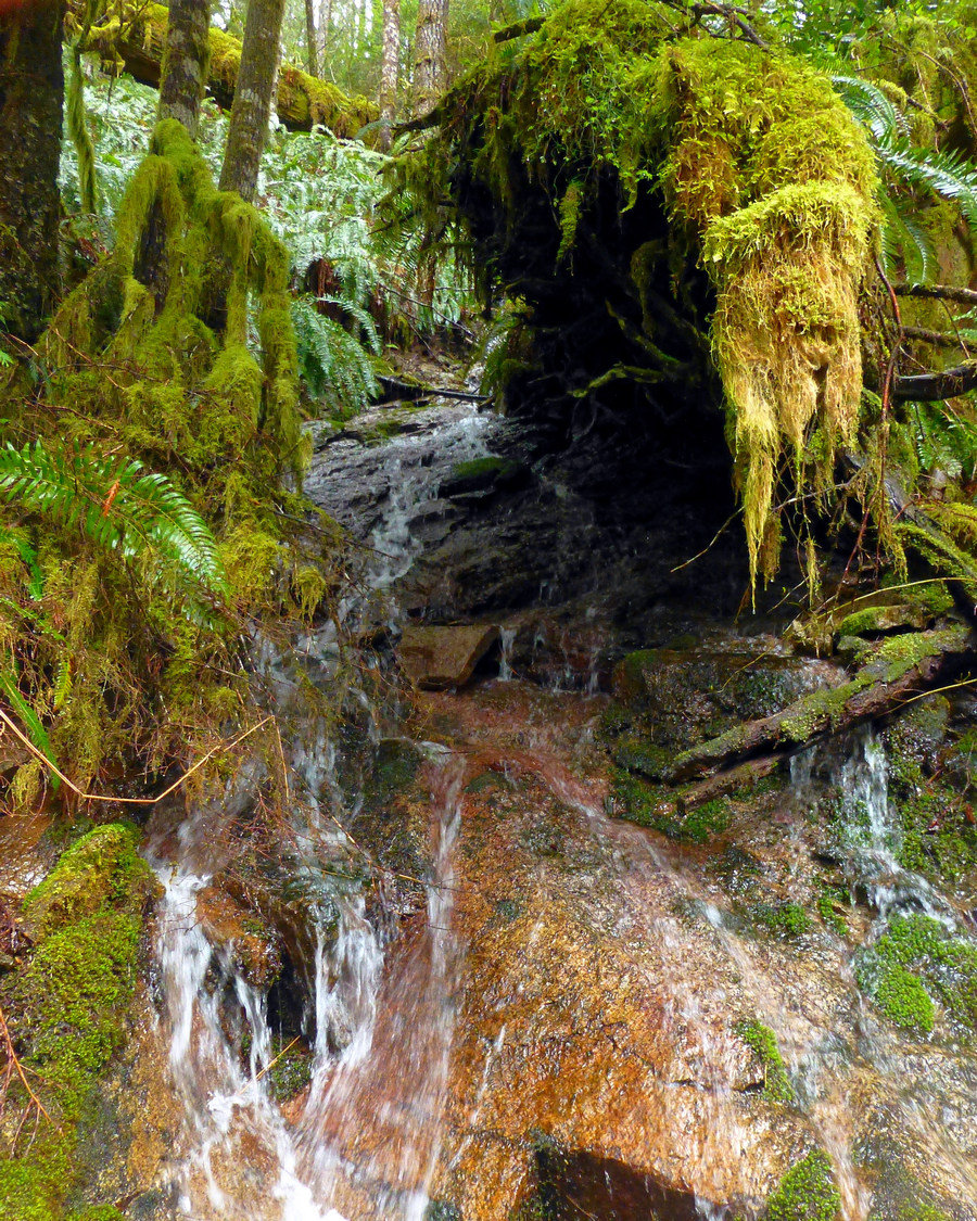
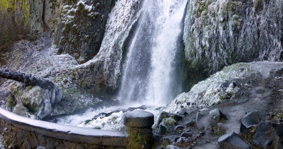
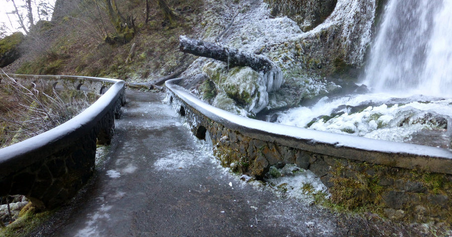
(Actually hiked on Dec 31, but I found the stats on the Home page aren't updated with hikes on that date for some reason!) It was too nice a day not to get out, so midday I decided to go looking for frozen waterfalls in the gorge. Ended up just wandering up past Wahkeena and Fairy Falls, and on to Wahkeena Springs, before making a bit of a loop up top by hea...
December 30, 2014 9.5 miles 3,000 feet gained

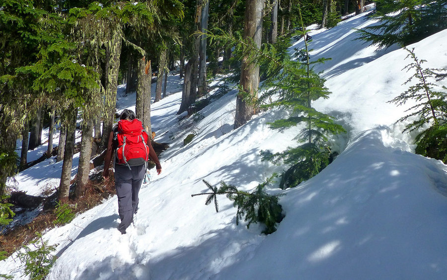
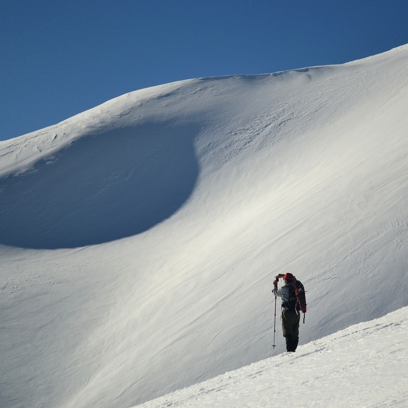
Hit the goal of 800 miles for the year! Had a fun day in the snow with a good friend. Temps between 20-25°F all day, not much wind, light powdery snow up to a foot deep. Caught a few views, but not enough. Need to go back here in better conditions. :)

December 26, 2014 17 miles 4,750 feet gained

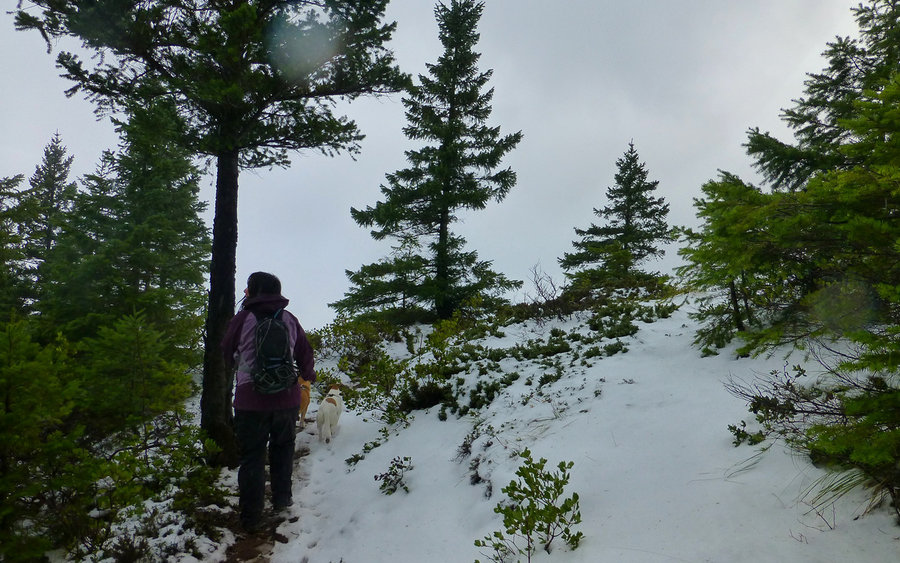
Awesome loop into a Winter Wonderland. Started at the Wyeth Campground, and took the 411 up towards North Lake, with the thought of possibly tagging Defiance. On the way, we hit snow around 3250', and it deepened to 3-4" by 4000'. Plus, rather than climb through the clouds, they just seemed to thicken all but eliminating the prospect of decent views. So we d...

December 13, 2014 10 miles 2,750 feet gained

Fun time climbing up Elevator Shaft to wander around Multnomah Basin. Great detour halfway up to look out over the viewpoint just beyond Meadow Ridge. Still can't figure out the approach to there from Multnomah Creek. The ornament trail sure has exploded in popularity since I was last up there two years ago! Only saw one other human up top, lots more coming ...

December 6, 2014 12 miles 3,500 feet gained

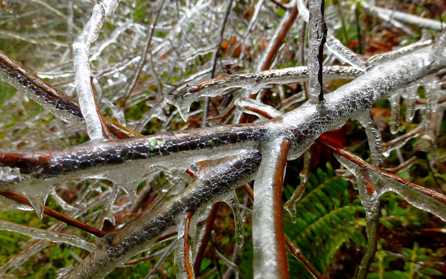
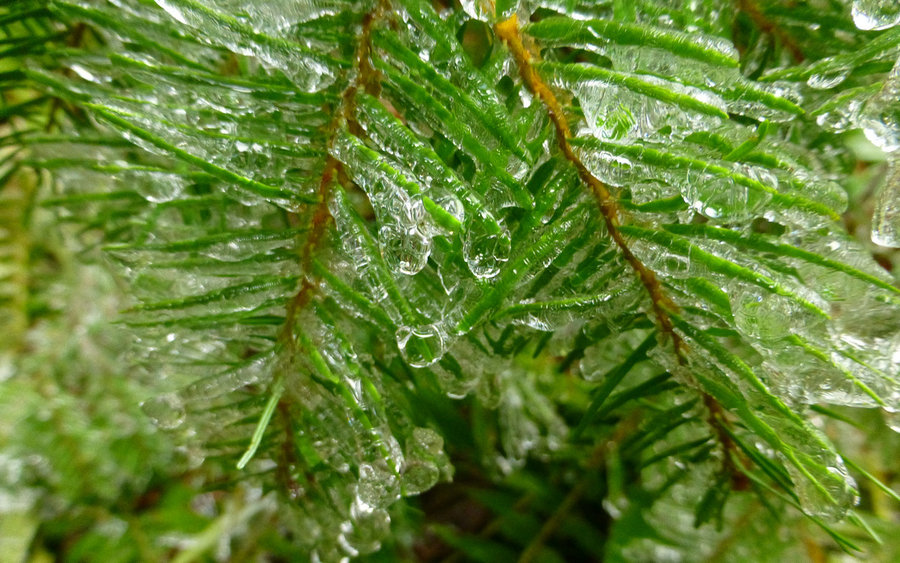
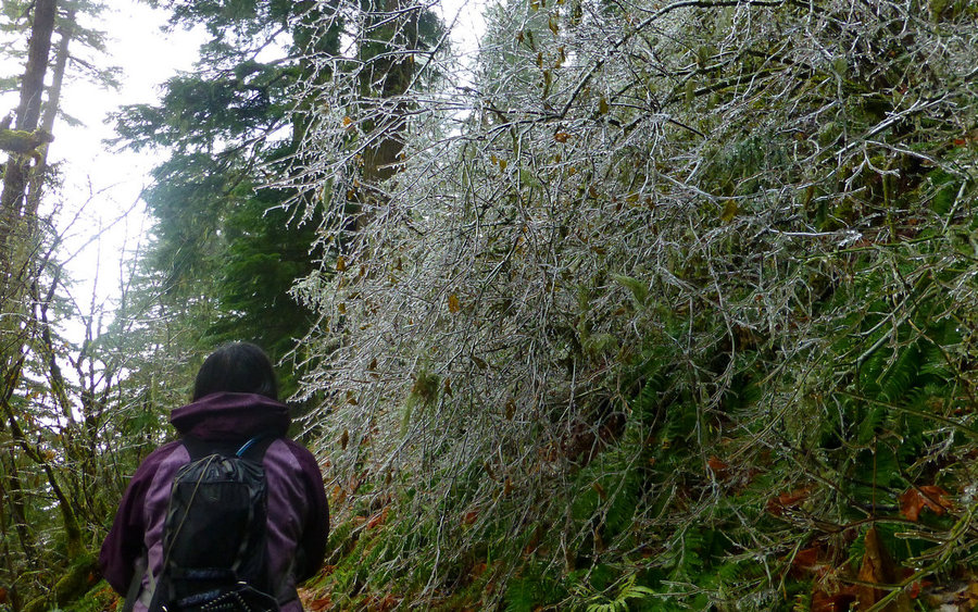
Thought we'd take the PCT up from Herman Creek to the Benson Plateau. Mostly just to continue working off Thanksgiving. From about 1500' up, the remains of a previous day's freezing rain were quite evident. Snow was thickening up around 3000', and it looked like a solid cloud layer above. So we decided at that point to just go back down and follow the PCT a ...

November 22, 2014 9 miles 1,250 feet gained

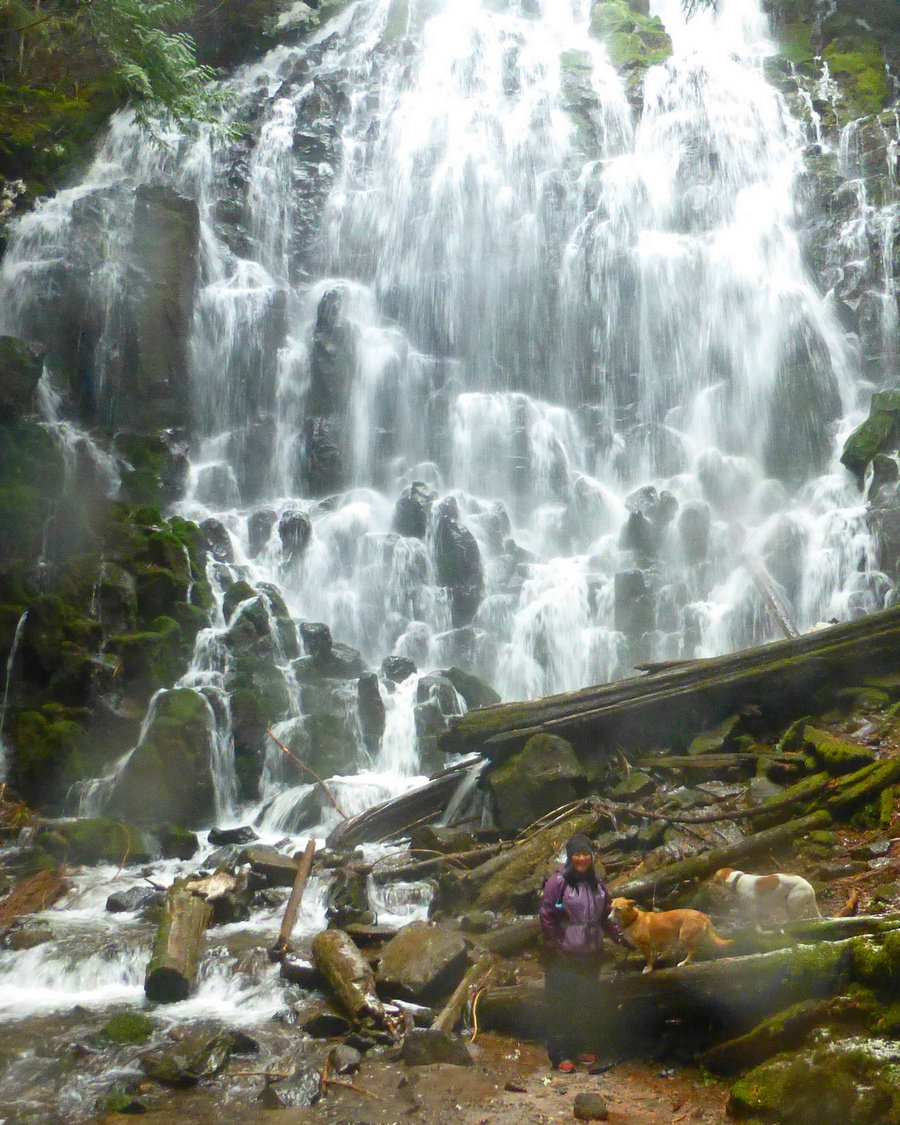
Solitude at Ramona Falls. Impossible? Not if you go on a 30-something degree day with unrelenting "wintry mix" falling from above. It was that sort of day. We may have spent a total of 5 minutes at the falls. Just enough to take "we were here" photos, and change gloves. The forest was beautiful as ever, though the Sandy crossing isn't amateur hour at half-ra...

November 16, 2014 8.5 miles 2,750 feet gained

It was a bitterly cold morning in the Gorge, but SR-14 was in pretty good shape. We got to BRSP before 9am to find two cars already in the lot; one of them already sporting a ticket for improperly displayed Discover Pass. Ground was frozen hard, and the restrooms were bolted shut. The climb up Hamilton was mostly on snow and ice. She put on YakTrax in the pa...

November 11, 2014 18 miles 5,000 feet gained

Winds in the gorge were howling, as I drove down I-84 yesterday, so I decided a "training" hike up Larch might offer the most respite as so much of that route is wooded. Left the lodge just a bit past 10am, and beat my old record by getting to Sherrard Point by about 1pm. Initially, I had the place to myself, and hadn't seen another soul since about half-way...

November 8, 2014 12.5 miles 3,000 feet gained

Took off from the Blue Lake trailhead a couple hours late, due to car failure in Woodland. (ugh!) But managed to salvage the day, and have a wonderful hike in glorious November weather! Followed the Toutle Trail to its intersection with the Sheep Canyon Trail, at which point we turned uphill and headed towards the Loowit Trail. Once at that next junction, we...

November 2, 2014 9 miles 1,750 feet gained

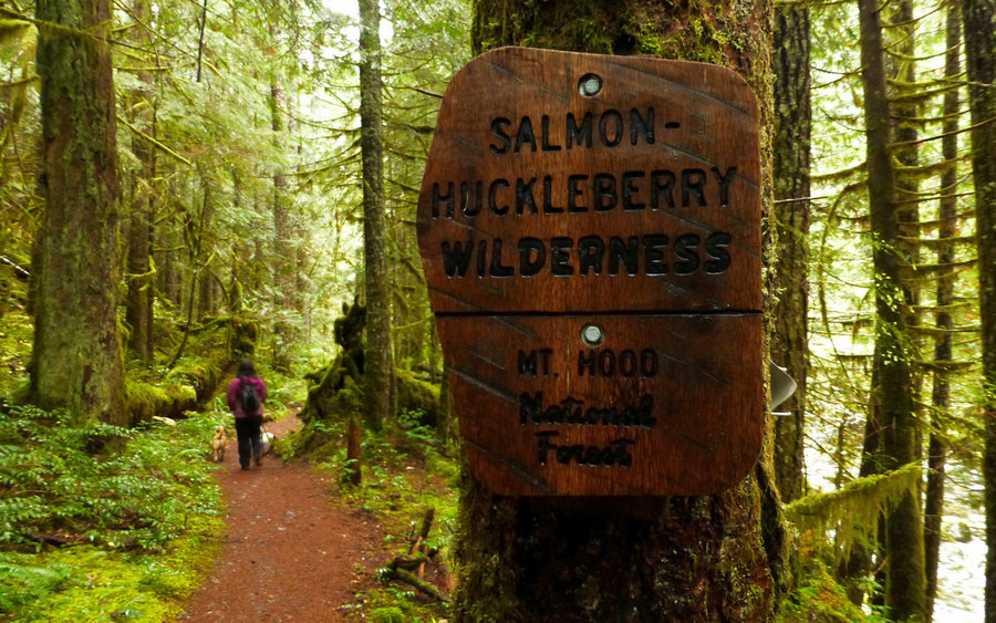
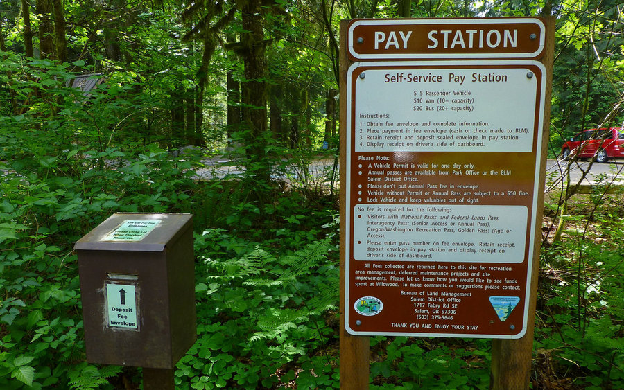
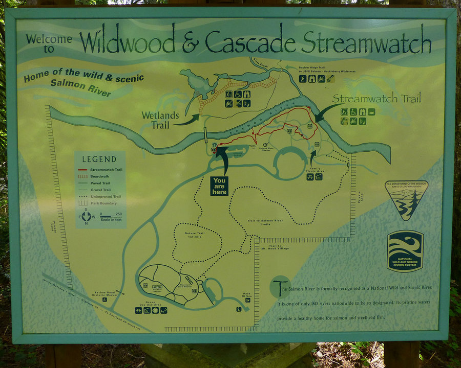
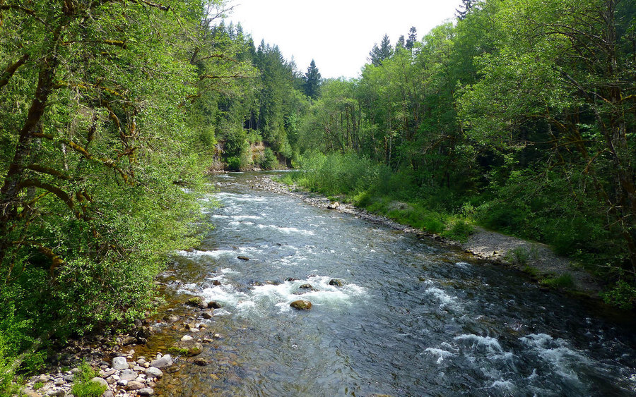
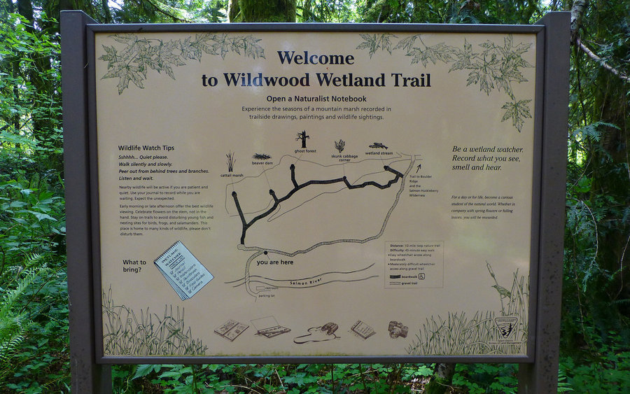
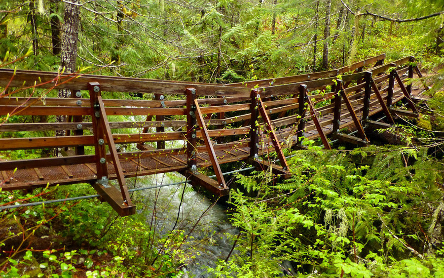
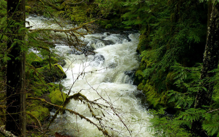
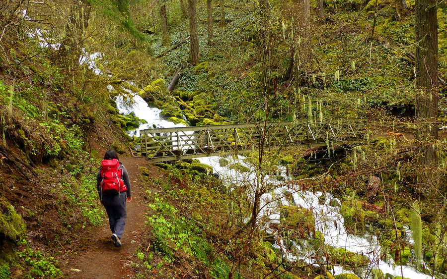
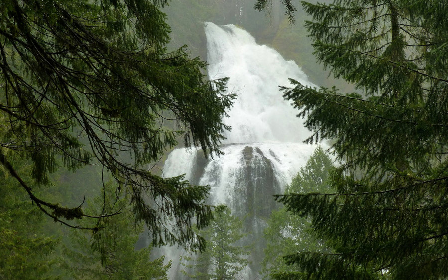
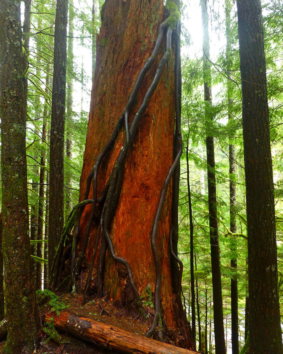
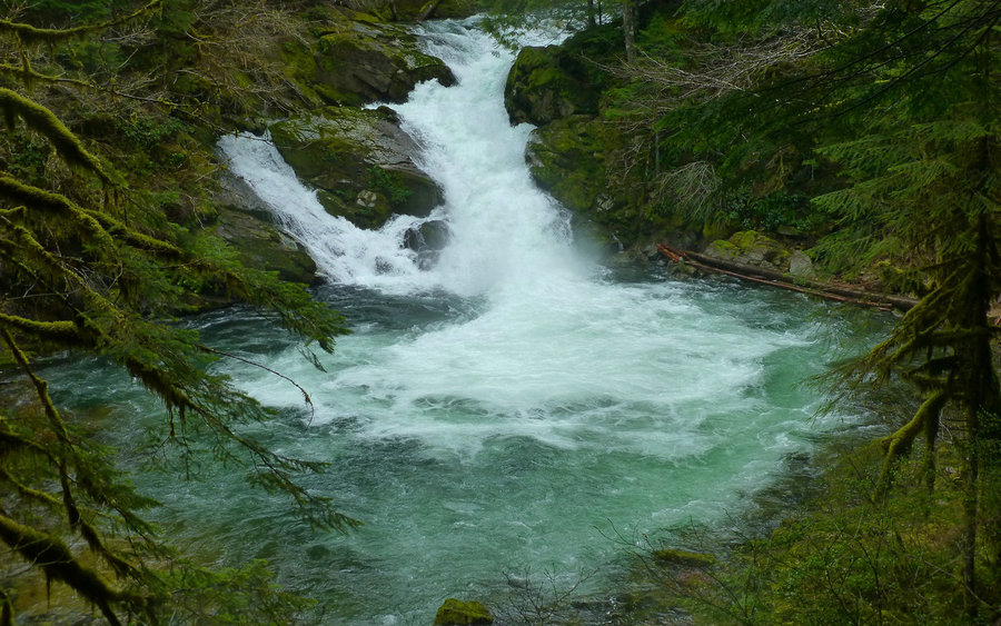
Perfect day for an old-growth rainforest hike to a waterfall that hardly anyone knows about, and even fewer have ever seen. After pinching my sciatic nerve, I've been in need of "rehab" hikes that didn't take me quite as far out of reach as I like to get. This was perfect. Two miles through fairly level, ancient, moss-draped forest along the beautiful Salmon...

October 18, 2014 1.5 miles 500 feet gained

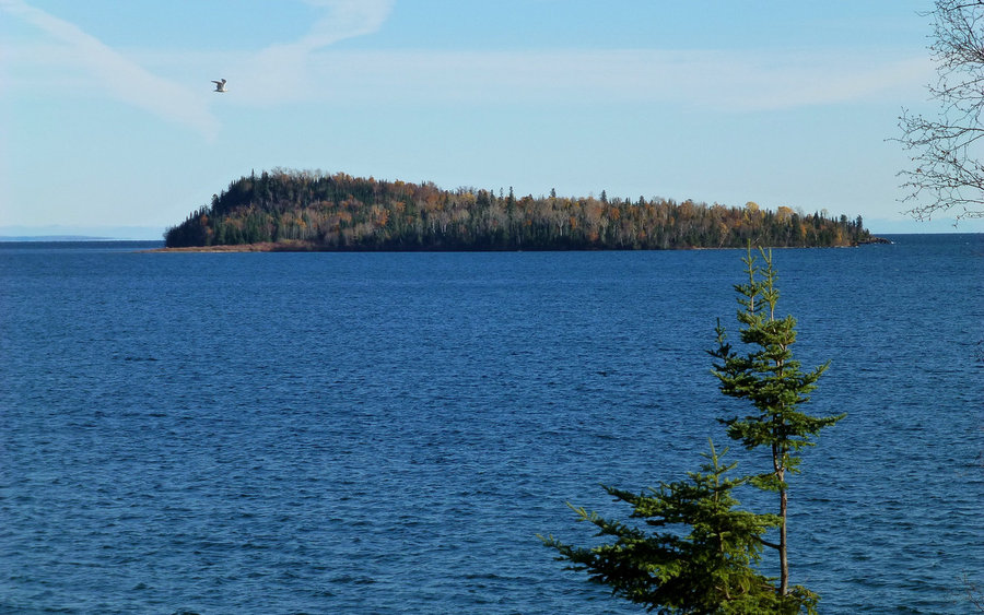
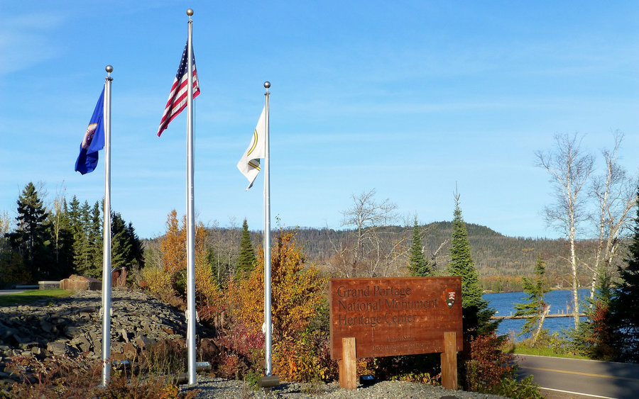
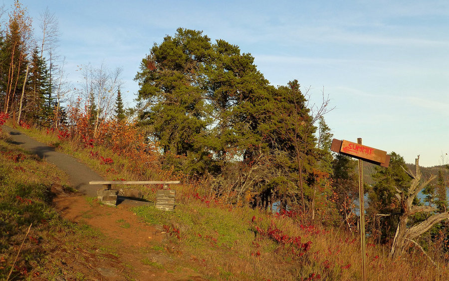
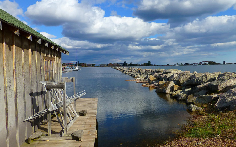
Just a fun little "rehab" scramble to a viewpoint on "Mount Rose" (which I just can't help but call Rose Hill, I'm sorry). Offered some great views of the Grand Portage harbor, and a reconstructed fort on the site once used by the North West Company as the primary export point for their fur operations. The area is now within the Grand Portage Reservation of ...

October 15, 2014 7 miles 1,500 feet gained

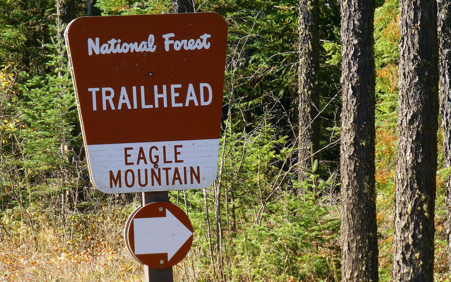
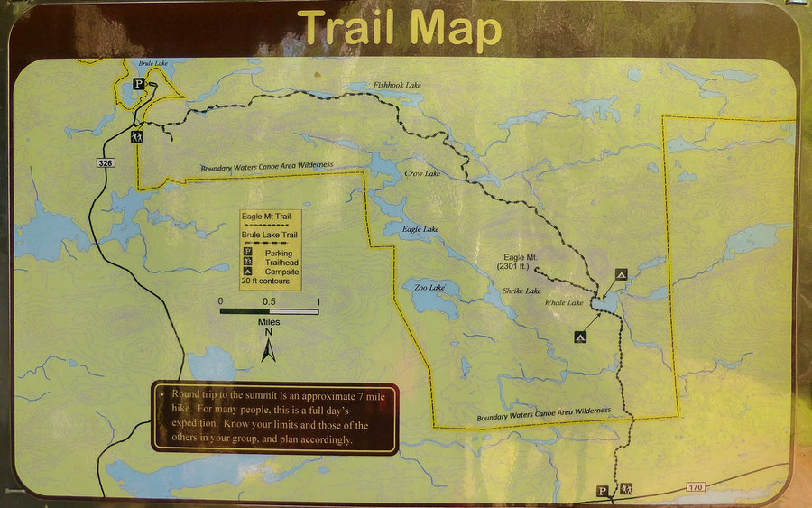
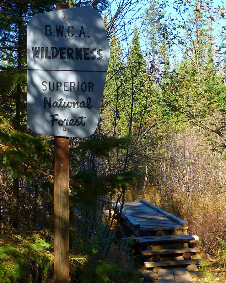
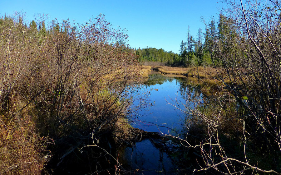
Hiked up to the highest point in Minnesota, ticking that one off a long and ever growing list. Have wanted to do this one for years, so it felt really good to finally bag it. Eagle Mountain is within the Boundary Waters Canoe Area Wilderness and soars to the impressive height of 2301' above sea level. Perhaps even more interesting is that it's only 13 miles ...

October 14, 2014 4 miles 1,250 feet gained

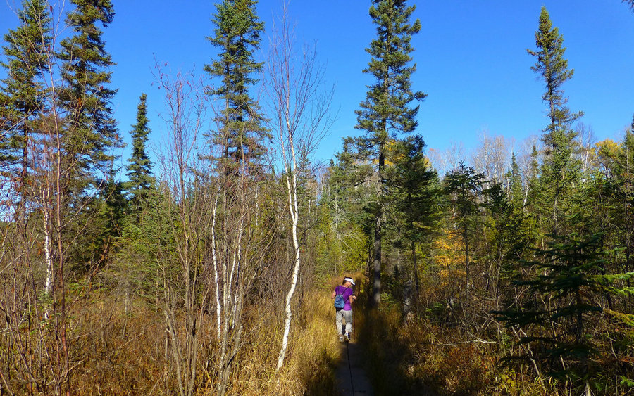
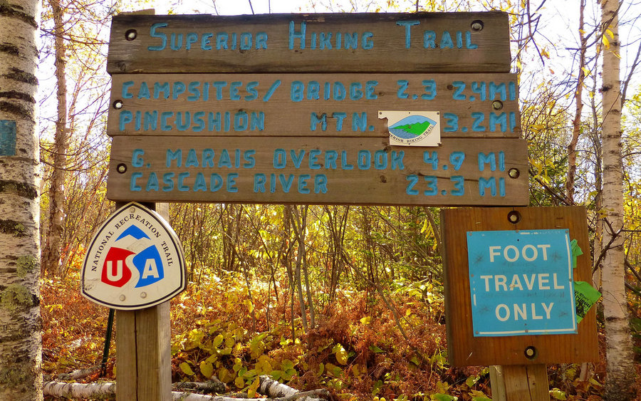
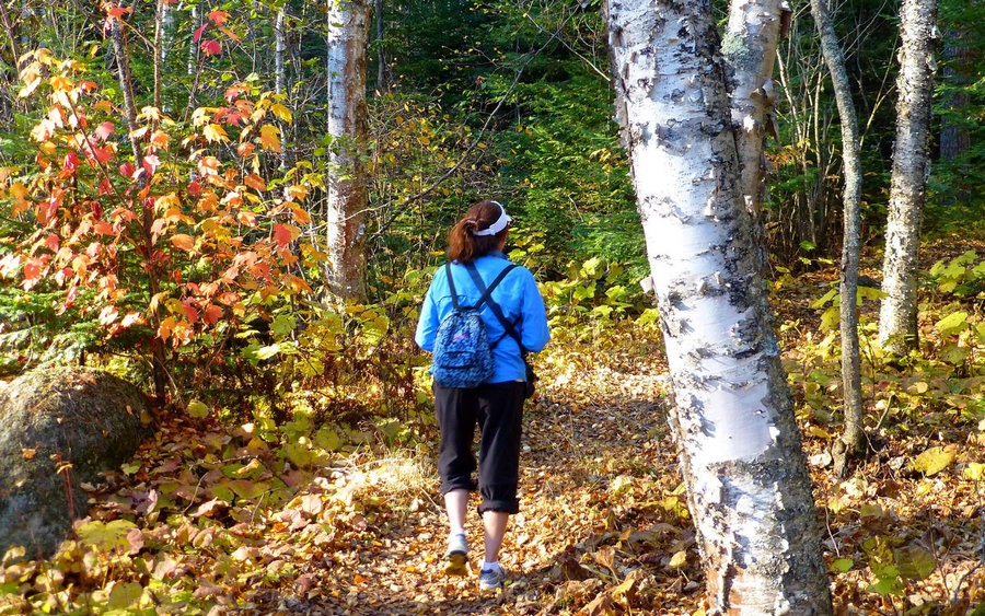
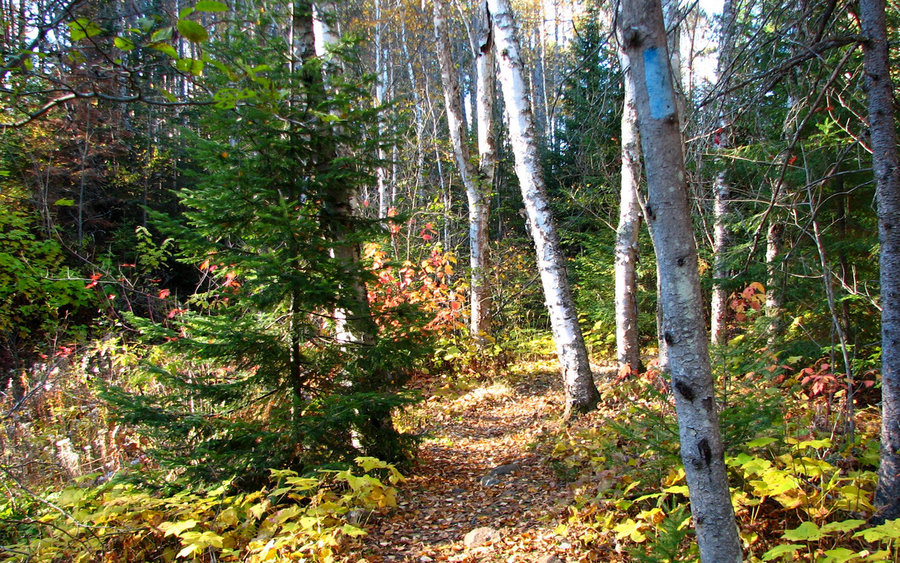
Just another nice leg-stretching rehab hike along a creek in the north woods. Somehow we went the wrong direction on the Superior Hiking Trail, as we were looking for the deepest canyon in Minnesota. We found it near the end of the hike, on the other (west) side of County Road 58, and will go back there again. This one was just pure SHT, meandering up and do...

October 12, 2014 3 miles 750 feet gained

Another "rehab hike." Following a splendid brunch at [Naniboujou Lodge](http://www.naniboujou.com/) and subsequent stroll along the shore of Lake Superior, we crossed Highway 61 to Judge Magney State Park, and hiked along the Brule River past a beautiful waterfalls and finally to a most perplexing feature known as Devil's Kettle. The river splits at a falls,...

October 10, 2014 3 miles 500 feet gained

First in a series of little "rehab hikes." (Pinched my sciatic nerve - ugh!) This was a lovely walk through the municipal campground and up to the top of a bluff that used to be the site of a fire lookout. On the way back, I followed the shoreline of Lake Superior and looped around the harbor bay in Grand Marais. The leaves were very colorful, but a bit past...

September 27, 2014 12 miles 2,750 feet gained

Had my first taste of Indian Heaven yesterday, and thoroughly enjoyed it. We started at the Falls Creek Horse Camp TH, and generally followed an abandoned (not on any map) trail through the Lakes Basin. This trail is somewhat overgrown, and gets very spotty around all the little lakes. You just sort of need to follow your nose, so to speak. From the basin, i...

September 21, 2014 12.5 miles 4,500 feet gained

Took advantage of the last day of summer with the classic loop through Paradise Park, up and over Mississippi Head, farther up to the top of the Palmer ski lift, then bombing back down to Timberline at full bore as long as slope was suitable for boot skiing/skating. Beautiful day on the mountain, but nasty smoke in all the valleys from the 36 Pit Fire near E...

September 14, 2014 15 miles 3,250 feet gained

**[Video added!]** Drove to the Breitenbush trailhead via Salem, rather than Estacada, due to the 36 Pit Fire burning along 224. That might've added a little time, but - good grief - that last little bit on FR4220 is unreal. Six or so miles that take nearly 50 minutes! Yikes. At any rate, once we got there, all was well other than the pall of smoke to our no...

September 5 to September 6, 2014 28 miles 4,000 feet gained 1 night

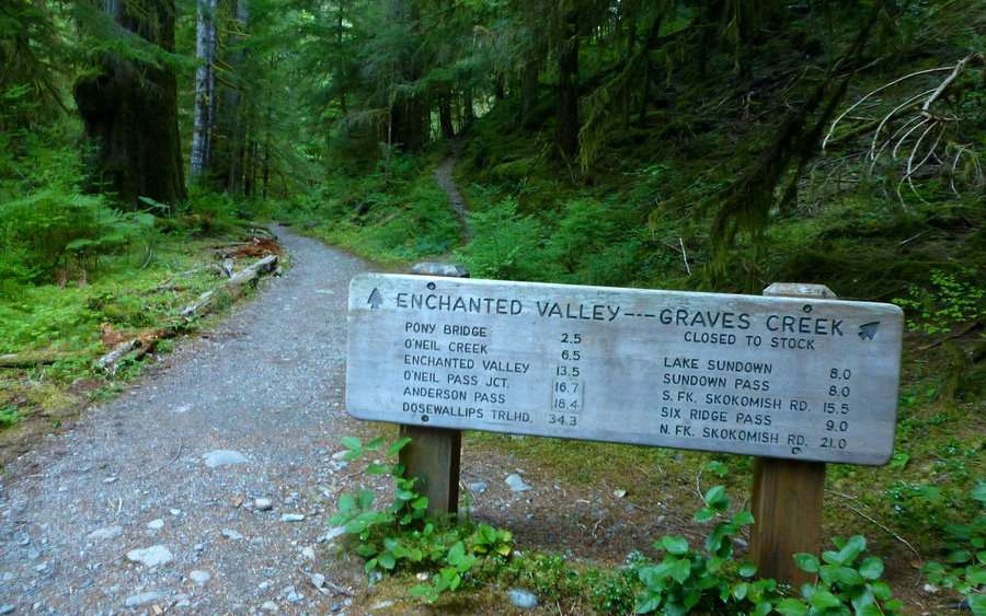
Camped beside Lake Quinalt in order to get an early start the next morning up to Enchanted Valley, to see the chalet that was about to fall into the East Fork Quinalt River due to severe undercutting. The NPS has embarked on an emergency stabilization project to protect the river by moving the historic chalet about 100 feet farther away. Prep was well underw...

September 1, 2014 20 miles 6,000 feet gained

Incredible day! Began at the Norway Pass trailhead on the Boundary Trail. Hooked a right on the Lakes Trail at Bear Pass. Dodged off-trail after a couple of dropdead gorgeous miles through the lakes area, and followed elk trails over to Venus Lake. Bushwhacked from there up to the top of Mount Venus and celebrated there with a light lunch. Continued back eas...

August 17 to August 19, 2014 35 miles 6,500 feet gained 2 nights

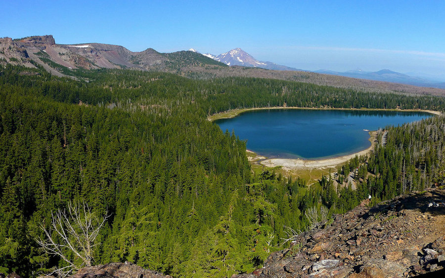
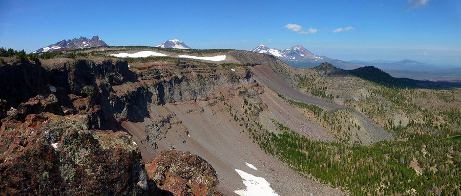
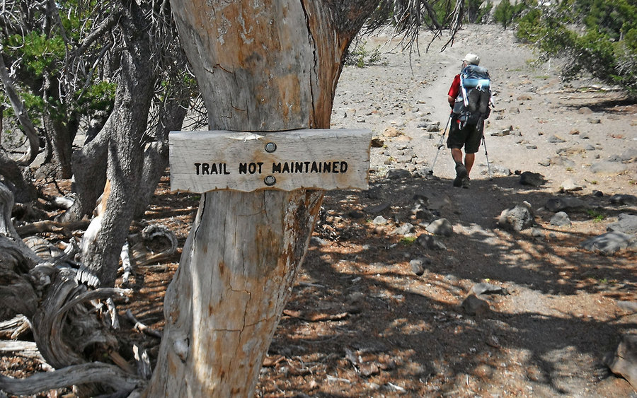
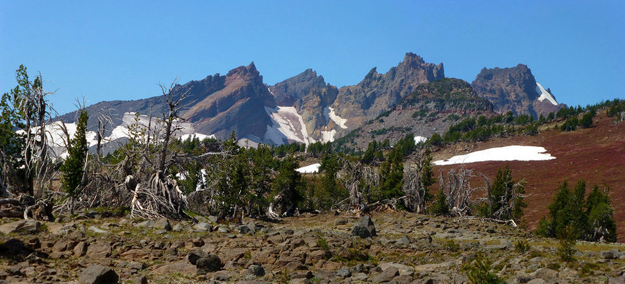
Awesome reintroduction to backpacking, after 31 years of taking the easier options! Started at Three Creeks Lake, and went up Tam McArthur Rim. Veered southwest after awhile, heading cross-country over to a campsite at the base of Ball Butte. After setting up our tents, we took a nice scramble up into the crater of Broken Top. Incredible up there! Then, the ...

August 9, 2014 13 miles 3,000 feet gained

Did something really different this day. Joined up with a group hike sponsored by the [Friends of Mount Adams](http://mtadamsfriends.org/), led by a well-known local historian who'd spent a lifetime crawling all over this mountain. The bugs were simply horrendous! But the scenery and good company made up for that, and more. We started at Divide Camp trailhea...
August 8 to August 9, 2014 15.5 miles 3,250 feet gained 1 night

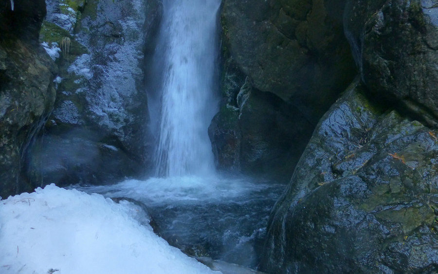
Solo ramble starting at the South Climb trailhead on Mount Adams, then winding east along Round The Mountain ("not really") trail over to Bird Creek Meadows. This early stretch was through burns for a couple miles, and then into the most glorious alpine meadows for the next few. Particularly once on the Yakima reservation. The trail of flowers didn't seem qu...

July 25, 2014 16.5 miles 5,250 feet gained

Parked at Elk Cove trailhead, and immediately bushwhacked uphill to the Pinnacle Ridge trailhead. Proceeded from there up through the 2011 Dollar Lake Burn to the Timberline Trail, snacking on some ripe huckleberries along the way. Wandered towards Wy'east Basin, before cutting up again towards Barrett Spur. Had to deal with some lingering snowfields along t...

July 19, 2014 16 miles 6,000 feet gained

Devised a fun "shuttle loop" from Cooper Spur Ski Area, up Polallie Ridge to Tilly Jane, up some more to Cooper Spur, back down along the Timberline Trail over to Gnarl Ridge and Lamberson Butte, and finally down to Hood River Meadows. Really nice way to avoid the in/out nature of Cooper Spur if you can drop one vehicle at HRM. The road to Cloud Cap is still...

July 5, 2014 18 miles 3,750 feet gained

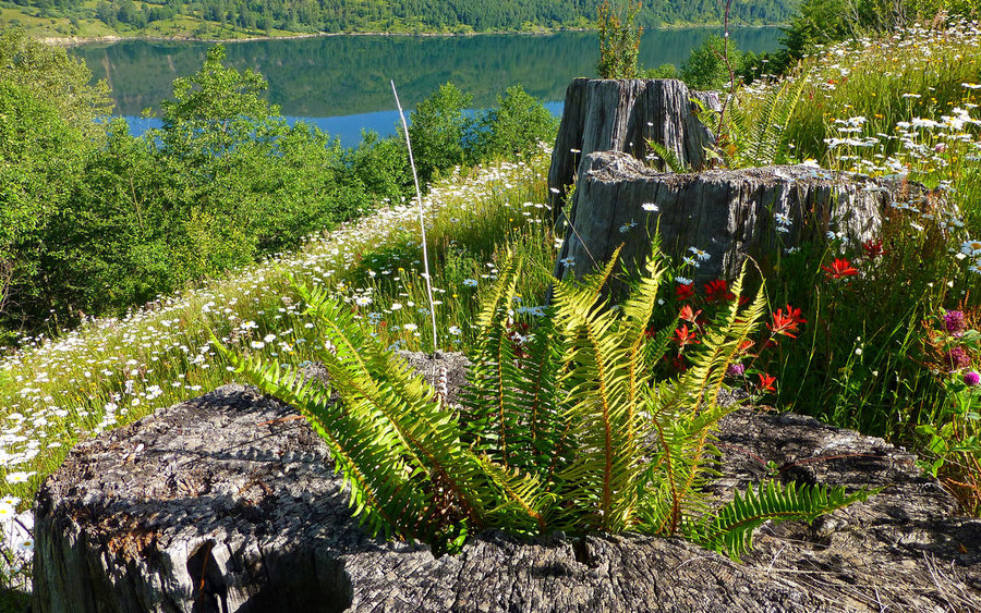
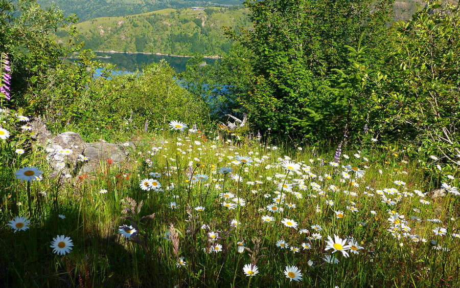
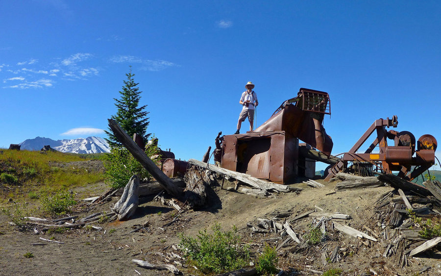
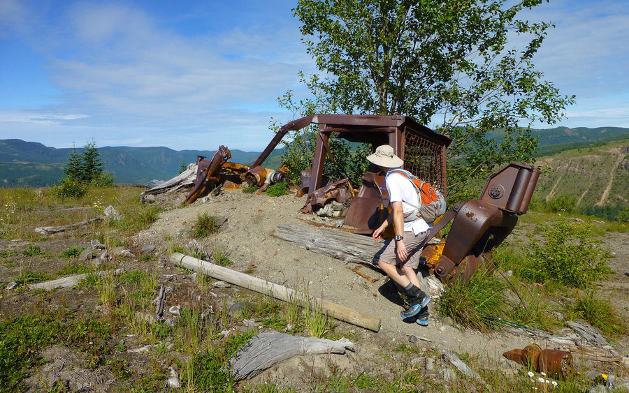
Another great day in the blast zone! Did the "classic" loop, going up South Coldwater Ridge past several logging relics destroyed in the 1980 eruption, ultimately winding up to Saint Helens Lake for the ultimate "lunch with a view!" After that, our descent slid progressively into the tourist (flipflops and spandex) zone as we meandered closer and closer to J...

July 2, 2014 8.5 miles 2,250 feet gained

Just the standard loop, using Don's Cutoff rather than the more boring jeep trail all the way down. Extremely pleasant, after-work, evening jaunt with some of the family, allowing me to introduce all of them to one of my favorite Gorge destinations. Trail's in great shape, the streams are running very low, wildflowers seem to be a bit past peek, some mosquit...

June 26, 2014 5 miles 1,500 feet gained

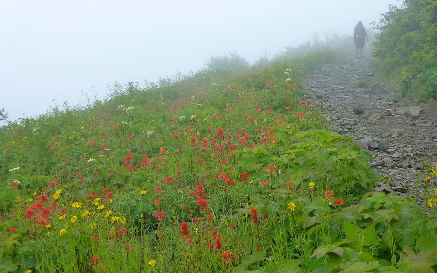
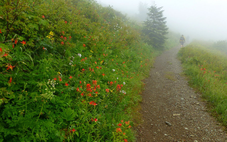
Just a quick, after-work run up the main jeep trail on the north ridge, then back down Ed's Trail. Saw the sun for nearly 10 seconds while at the summit, but otherwise visibility was limited to 100' or so most of the way. The wildflowers are exploding out there right now! Wow...

June 22, 2014 10.5 miles 2,250 feet gained

In the end, I guess my takeaway was, "okay, checked that one off!" I know a lot of folks really like this hike, and there are some compelling reasons to do so. But man, there are also a number of reasons it won't be on the "once a year rotation" schedule, too! For a place that's within walking distance (really!) of US-26, it takes forever to get to the trail...

June 19, 2014 9.5 miles 3,500 feet gained

Took advantage of the bluebird forecast for a quick run up McNeil Point. Absolutely glorious! Snow started around 5200', just below the cutoff for the (so-called) "climber's scramble" route. We followed some boot prints for awhile, before realizing the "trail" was a 100' or so to our right. After that correction, the rest of the way up to the shelter was rel...

June 14, 2014 18 miles 4,000 feet gained

Did a slight modification of the linked hike suggestion, hitting peaks rather than all the lakes. Started at Rainy Lake, and just looped up directly to Green Point Mountain. Which was in the clouds. We hoped to return past here on the way back, with an improving forecast promising better views. But having our heads in the cloud turned out to be the theme of ...

June 7, 2014 17 miles 4,000 feet gained

After all the trailwork done by mcds up on Bell Creek, we just had to go take a look for ourselves. What an amazing transformation this trail has undergone! It's so walkable now, as to not even seen at all to be the same one I hiked just a couple months ago. Not only were there very few trees to clamber over, under or around, but even the normal creekbed tha...
May 31, 2014 12 miles 3,500 feet gained

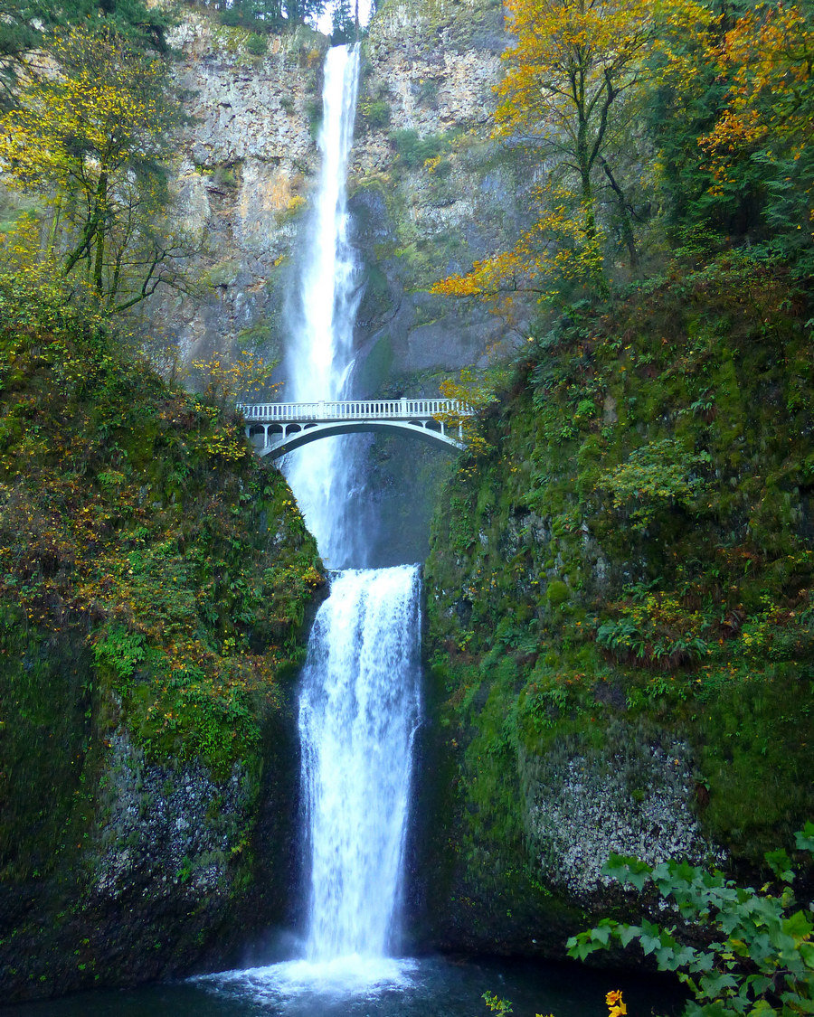
Third try's the charm! Finally made it up to Observation Peak, after being rejected twice already this Spring. This time we started at the Big Hollow trailhead, which offered a bit of variety from past failed attempts, and a bit shorter (if no less steep) climb. It was a gorgeous day, so we lunched on OP, then meandered over to Sister Rocks for even more vie...
May 30, 2014 17 miles 4,500 feet gained

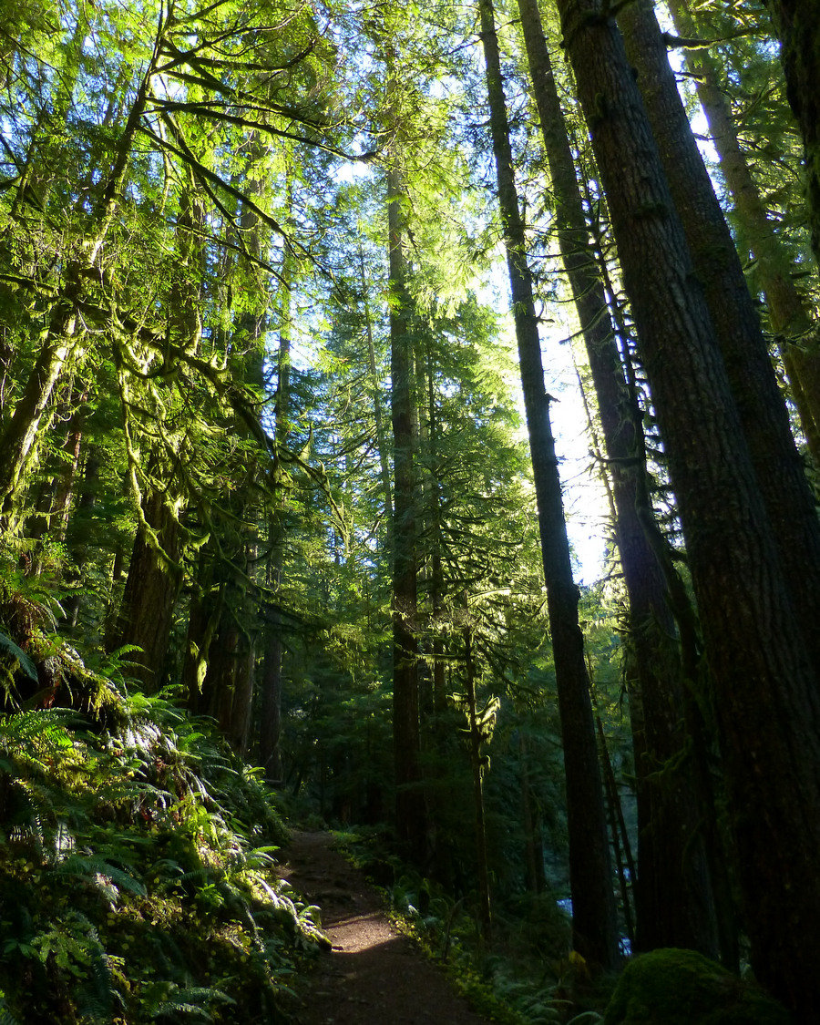
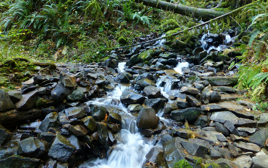
Dear trail friends warned me, "Boriest. Trail. Ever." Well, I'm not entirely sure about that, but you do walk uphill for 5 miles before catching a view. Once up top, though, wow! I just love wandering around on Zigzag Mountain. Took the Cast Creek Trail up from Riley Horsecamp, to the junction with Zigzag Mtn Trail, where I veered east to go have lunch on to...
May 26, 2014 12 miles 3,000 feet gained

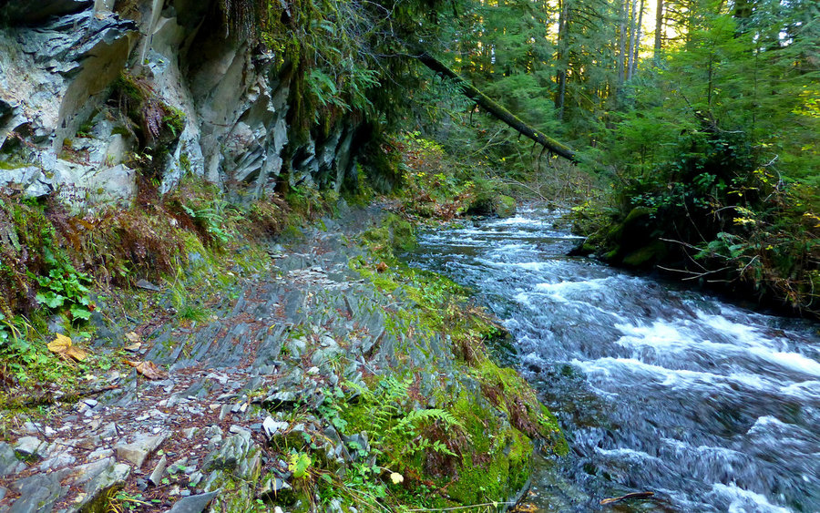
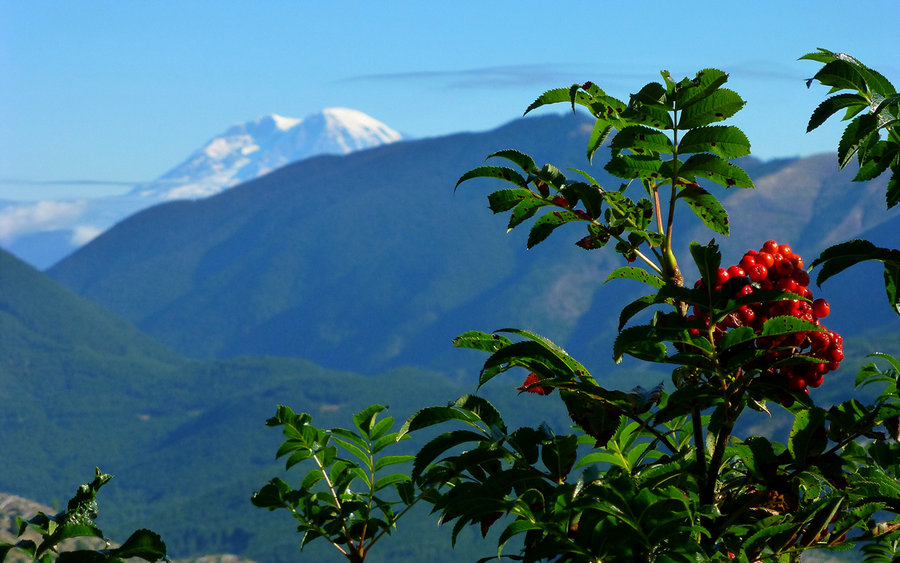
Woke up to mostly clear skies, but that all changed by the time we hit the Grassy Knoll trailhead. It was a misty start, but developed into a full-on gale by the time we hit the knoll. Sort of bypassed that, hoping it'd be better on the way back, and continued on northward. The conditions gradually improved, and became downright pleasant after a while. The w...
May 16, 2014 13 miles 3,500 feet gained

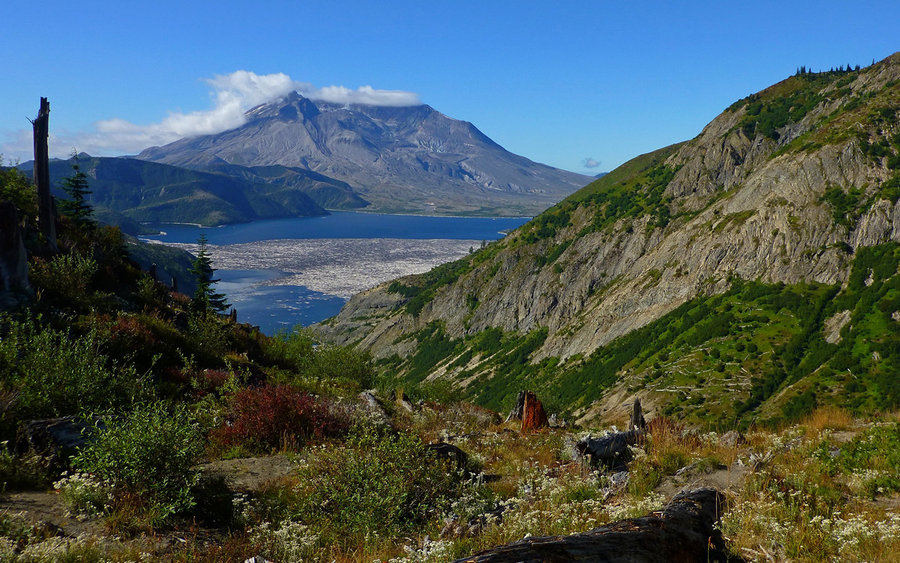
This would probably be seen as a really nice "training hike" by many. Long walk uphill in the woods, with an occasional viewpoint. Unfortunately, Mount Hood was encased in clouds the whole way up. Then, amazingly, the clouds parted as I hit the summit! Sweeet. There's a nice saddle about 1/4-mile shy of the actual summit, which makes the best break point. If...
May 14, 2014 8 miles 3,000 feet gained

The balsamroot is just about at peak up there, which was a good enough reason to take the afternoon off. Because of the sudden onset of the rather extreme heat and my late start (3:00), I took the loop "backwards" and went up the Augspurger trail then back down the normal approach, which made a nice bit of variety. Hardly a breeze on top, so the bugs were qu...
May 10, 2014 5 miles 1,500 feet gained

The very epitome of a lazy Saturday! Got a very late start, enjoyed the wonderful views as we drove east, had way too good a lunch in Hood River, and then continued enjoying the views as we drove US-35 towards Mount Hood. Our plan was to just take a nice walk through the forest to Tamanawas Falls, as the forecast was for snow/rain. But a funny thing happened...

May 1, 2014 14.5 miles 3,500 feet gained

Made another attempt at Observation Peak. Snow is still incredibly deep up there, especially on the formal trail around the north side. The south side has an unmaintained trail that looked more promising, so we followed that for a while only to end up again on a snow-covered plateau with no sign of a trail anywhere. Bombed down the Sunshine "trail" back to T...

April 27, 2014 7.5 miles 1,250 feet gained

Very pleasant day in the woods, walking along beautiful Falls Creek, and enjoying a most beautiful triple-decker waterfalls. Mostly misty-rainy, with a few snow flurries at about 2400'.

April 19, 2014 12.5 miles 3,250 feet gained

Spent about eight hours, just wandering aimlessly around the syncline area. Started at Catherine Creek, took a new (to me) ridgeline up to the upper level, then followed the twistiest-turniest far-off-the-beaten-trail down towards the Labyrinth. Looped back up Coyote Wall, met some new trail friends along the way, crossed over the high-line again, before fin...

April 12, 2014 12 miles 4,250 feet gained

Couldn't have been a nicer day in the Coast Range than it was yesterday! Did the classic Elk-Kings loop with Crusak and Payslee, and we all remembered again that 12 more grueling (but fun!) miles are hard to find. Trilliums everywhere down low, glacier lilies up above. No ocean in view!

April 6, 2014 8.5 miles 1,000 feet gained

Had a great walk in the woods with two good friends. Never been there before, but will certainly be going back. This is a delightful trail, suitable for nearly anyone.

April 4, 2014 25 miles 5,750 feet gained

Found an interesting way to loop Larch while the Benson Bridge is closed down at Multnomah Falls. Started out at Horsetail Falls, wandered up past Ponytail Falls, then up Oneonta Creek to Triple Falls. Where the trail bridges across Oneonta, a bypass on the east side of the creek took me up to Horsetail Creek Trail, which I followed up to Bell Creek Trail. B...

March 24, 2014 7.5 miles 2,500 feet gained

The forecast was for sunny and 70°! Was there any real choice here? Did a quick run up Silver Star with my sons - their first trip up there. On the way up, had a fun scramble up Pyramid Rock. Still more snow up high than I'd expected to find, but totally navigable on the beaten paths. We nixed a side-trip over to the Vision Pits on the south ridge, as it see...

March 21, 2014 5 miles 750 feet gained

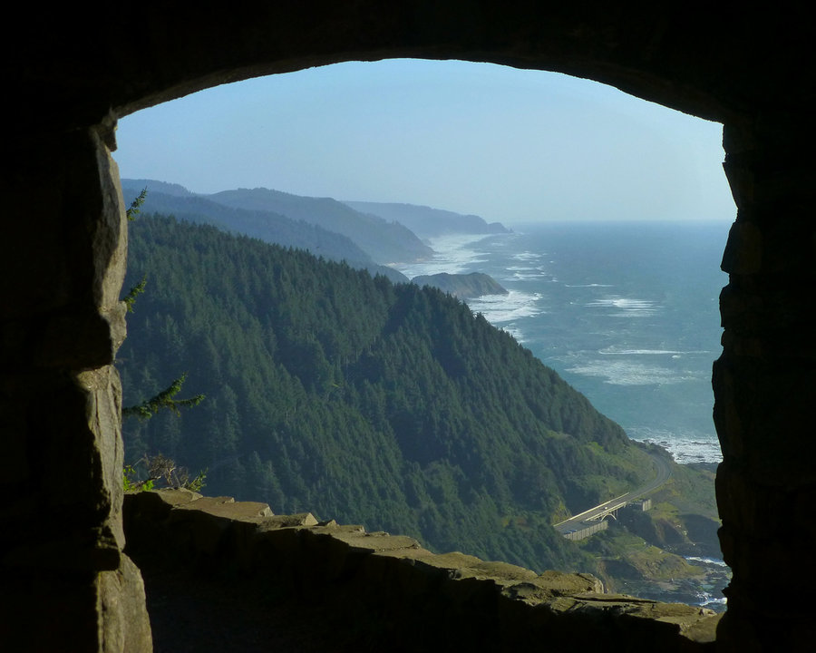
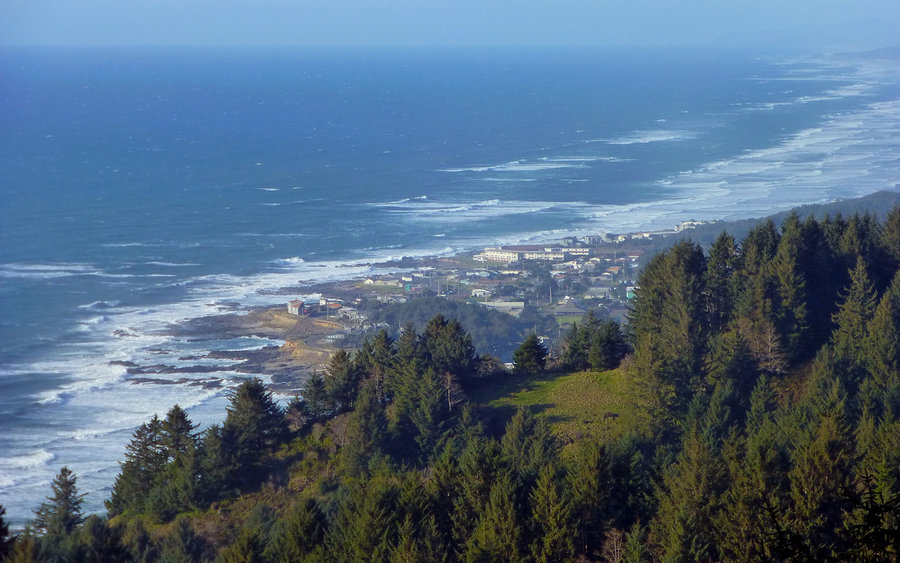
Just playing around down on the coast, had a chance to jump the rig up top at Cape Perpetua, and take "Amanda's Trail" back down to Yachats. Get leg stretcher!

March 15, 2014 14 miles 4,750 feet gained

Took a last-minute opportunity to cruise the Table Mountain area with Crusak. It was his first time there, so we did the full-circle tour, starting with the classic Heartbreak Ridge ascent up Table. Then it was off exploring along the north ridge over to South Birkenfeld, before dropping back down the PCT and crossing over for the final descent along the won...

March 9, 2014 12 miles 3,000 feet gained

Wonderful walk in the wet woods. Big trees, raging creek crossings, some cool waterfalls, green lushness all around. Got very close to the summit, but decided at the end it wasn't worth the final push. Not only was it in a thick cloud, but the snow was deep, soft and very steep. Gonna go back on a bluebird day!

March 7, 2014 13.5 miles 3,250 feet gained

Found Spring! 70° and Sunny! Just had a marvelous day traversing the desert regime in the Catherine Creek area, over to Coyote Wall, with a return through the Labyrinth. Even wading across a couple of frigid streams only added to the enjoyment of the day.