Karl went hiking Burnt Lake May 30, 2014 17 miles 4,500 feet gained
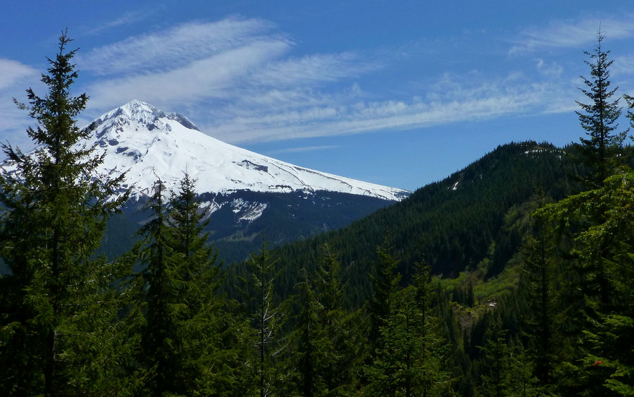
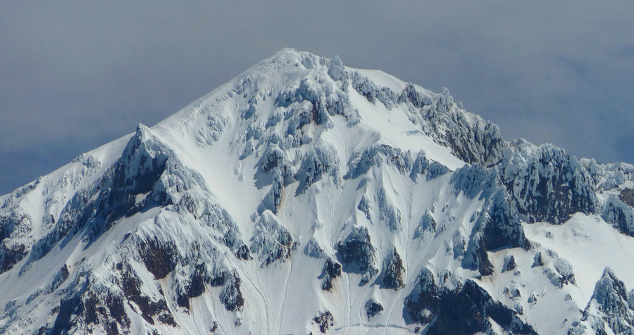
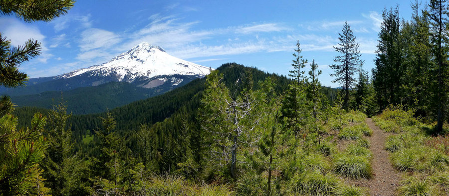
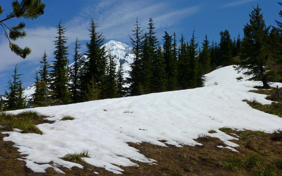
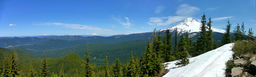
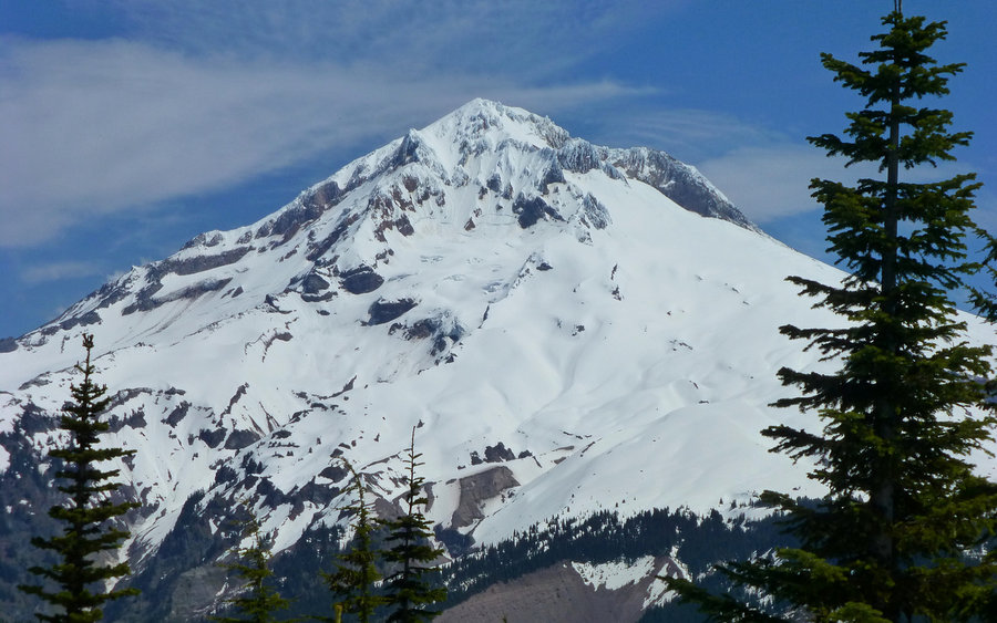
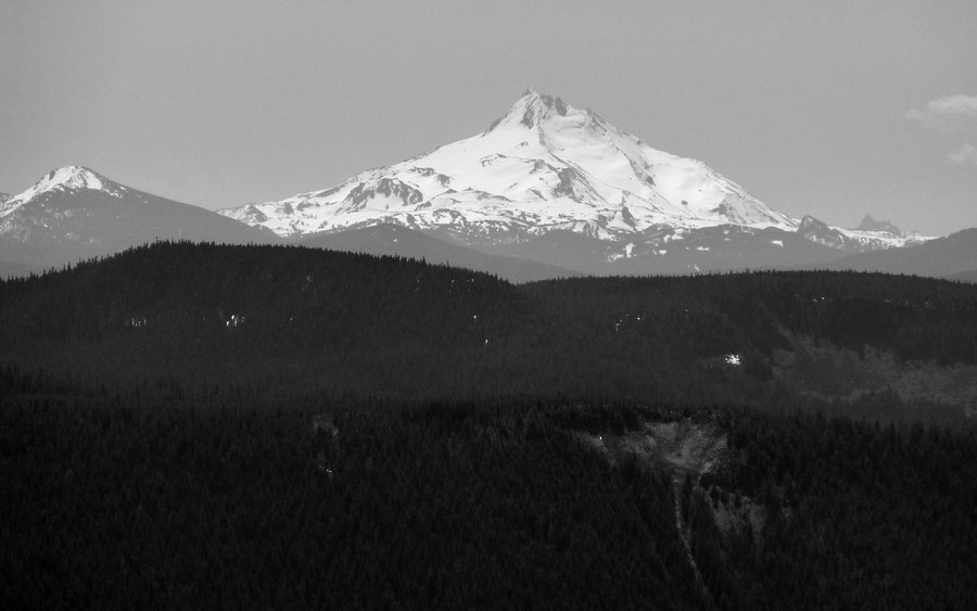
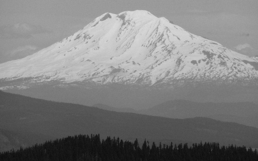
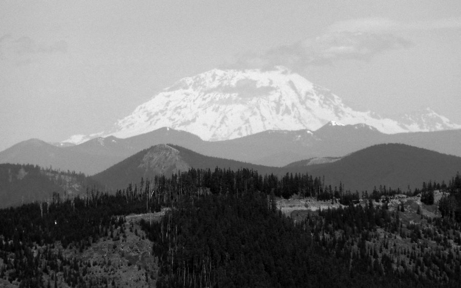
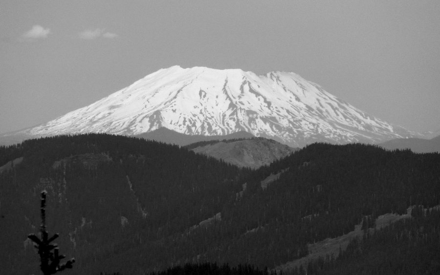
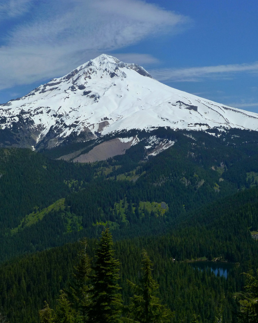
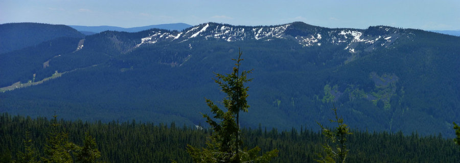
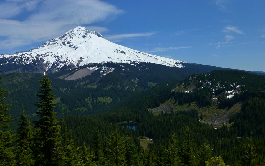
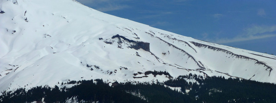
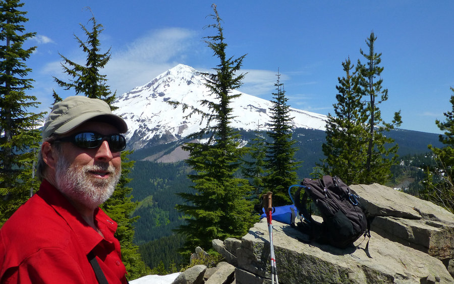
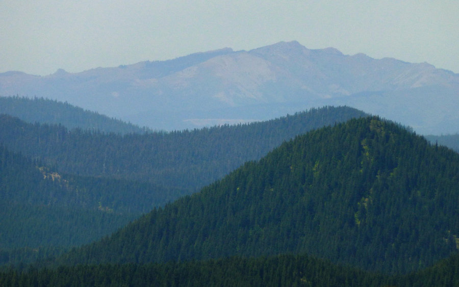
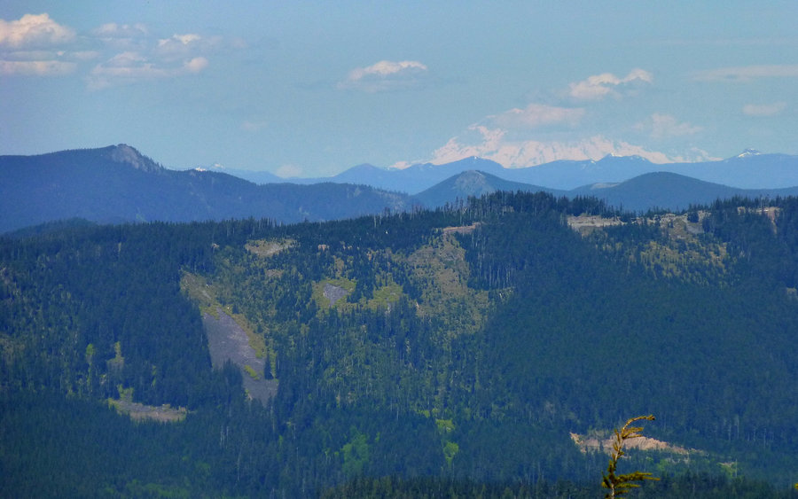
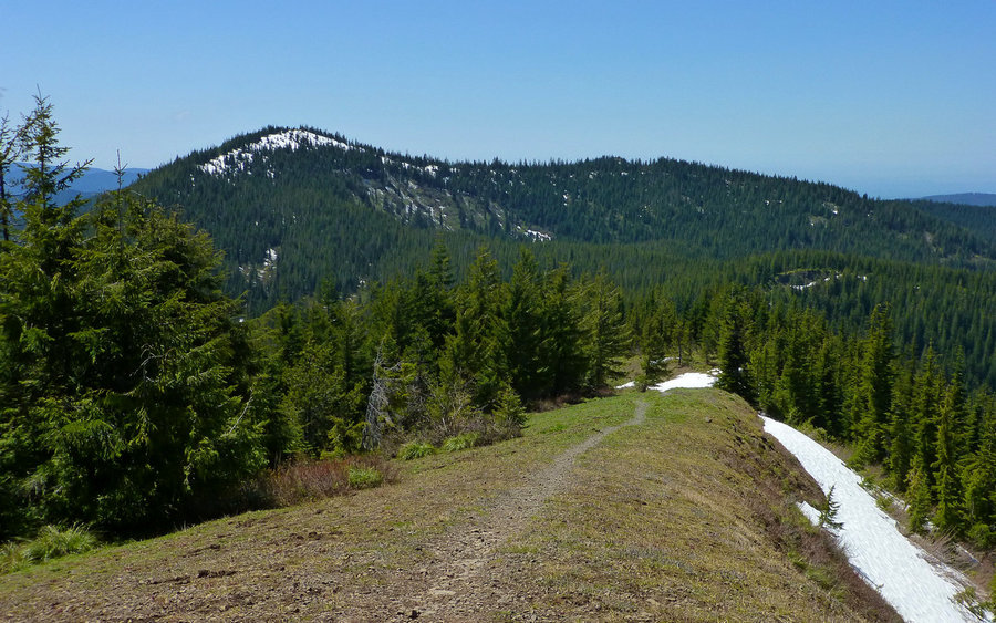
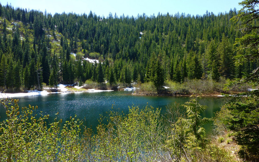
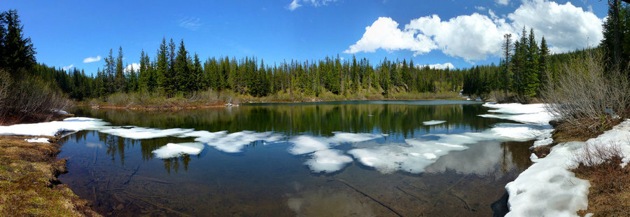
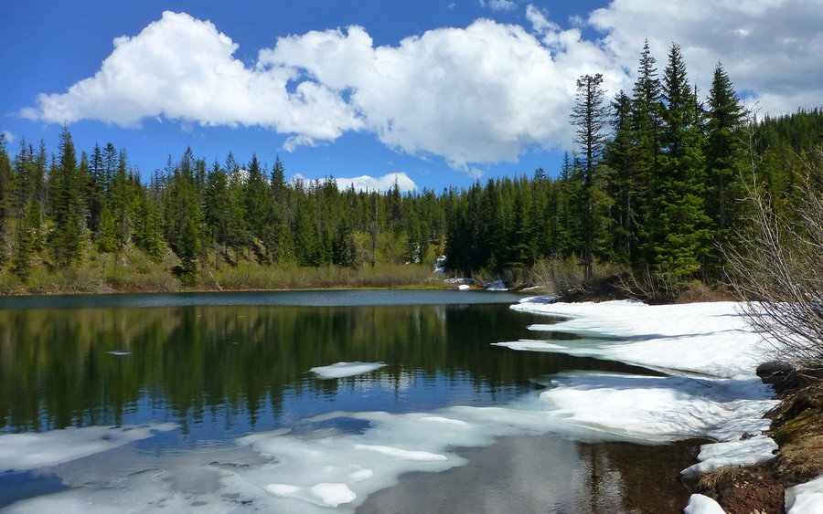
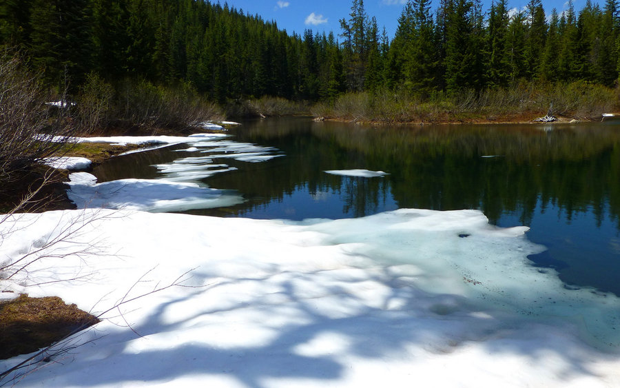
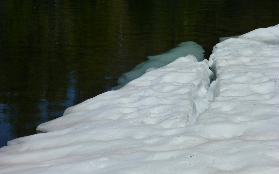
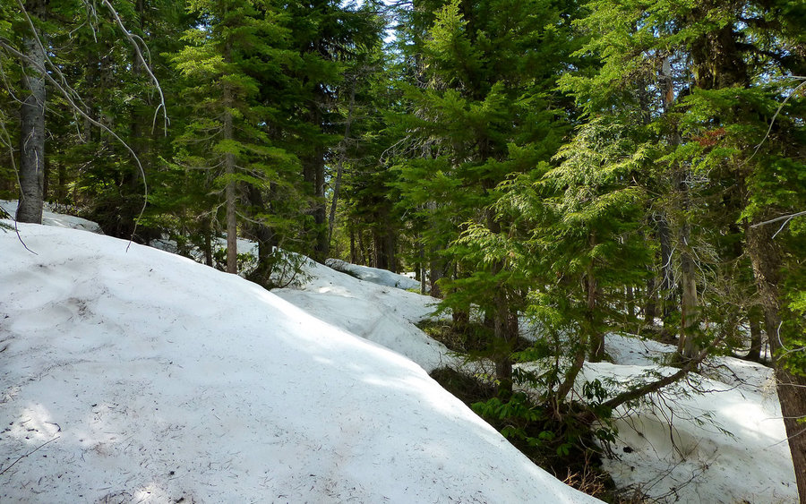
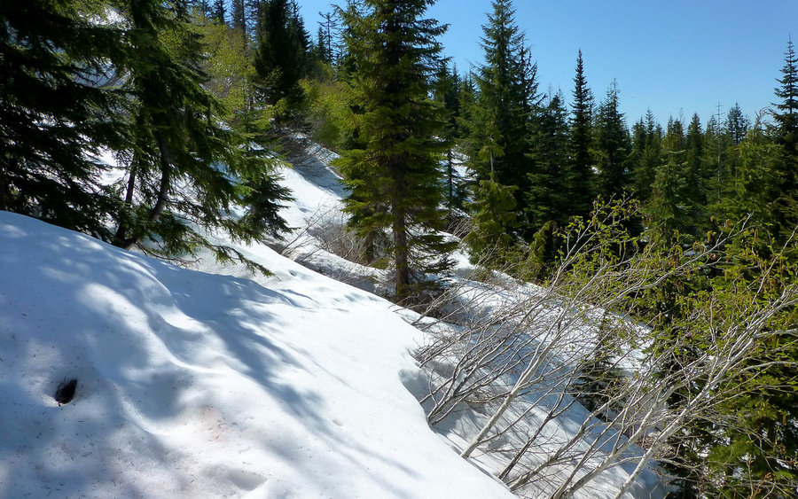
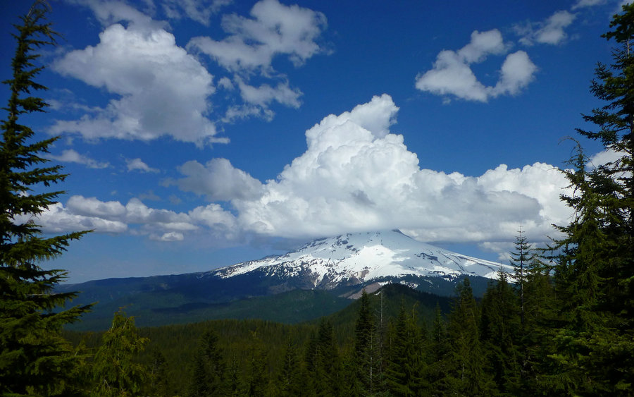
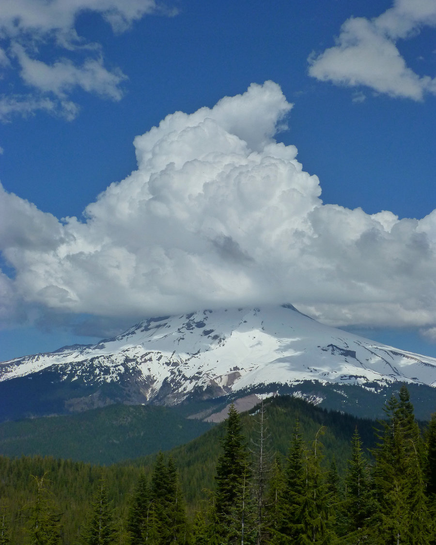
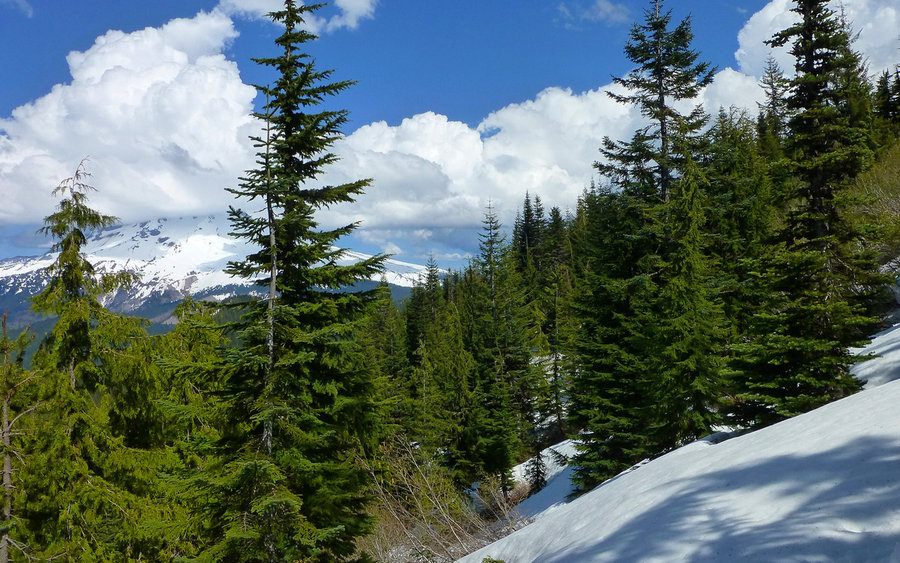
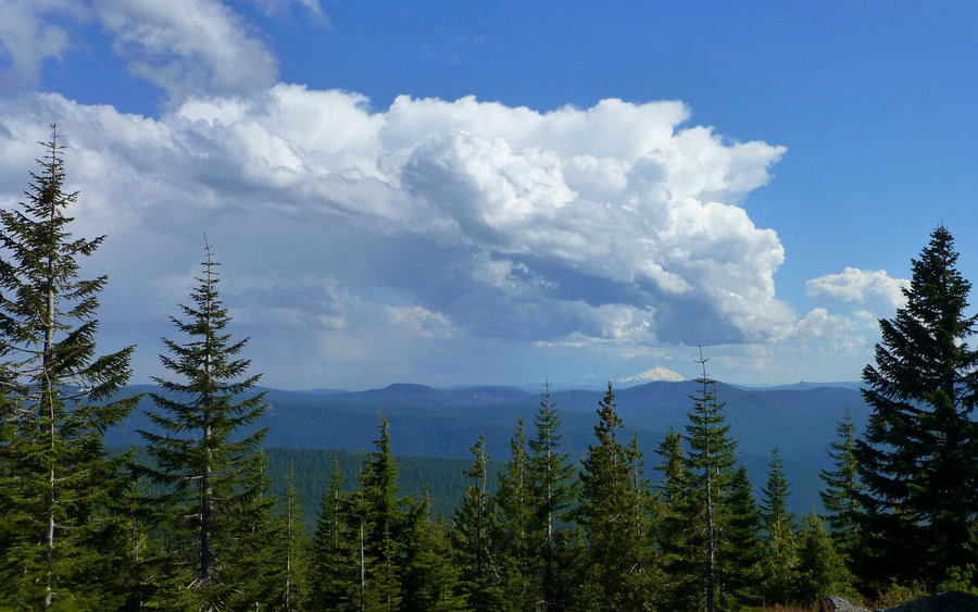
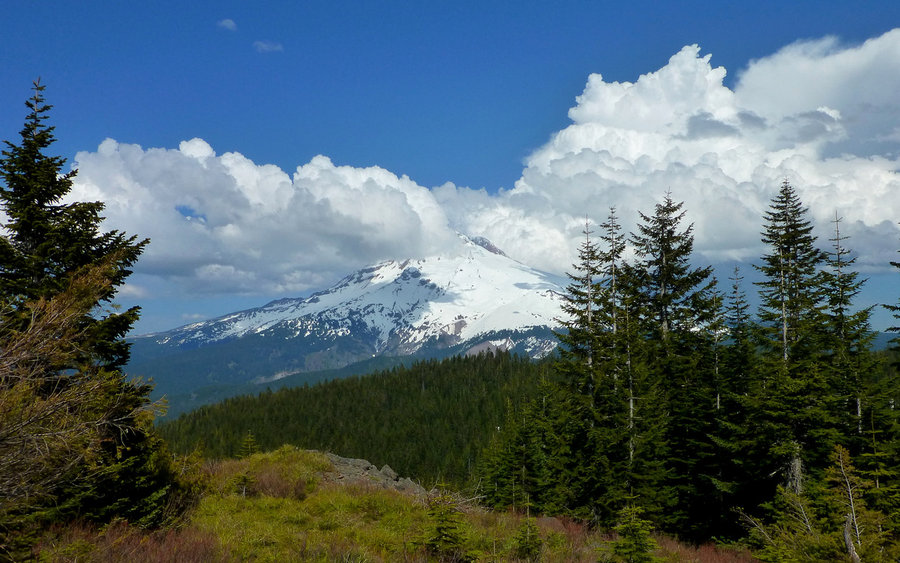
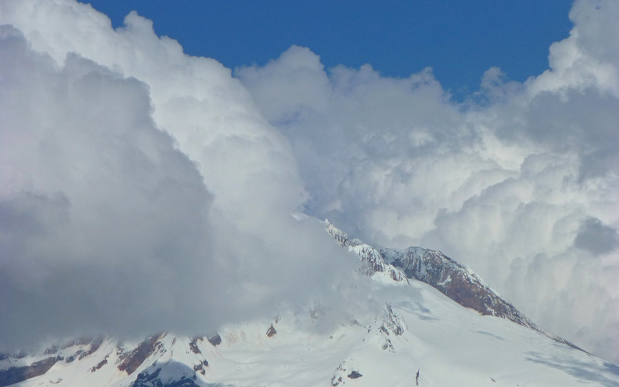
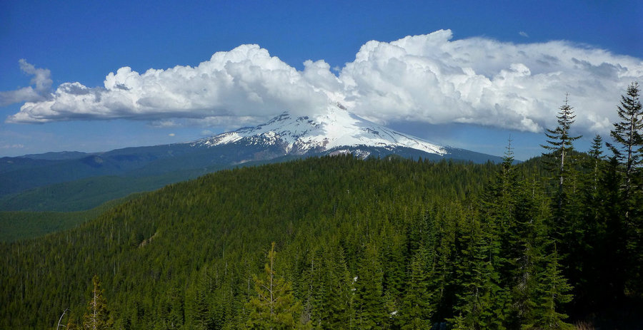
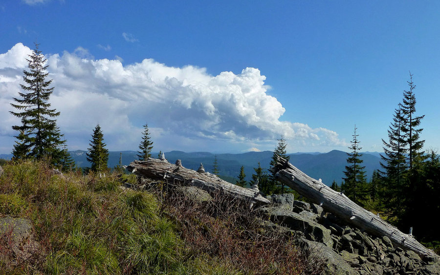
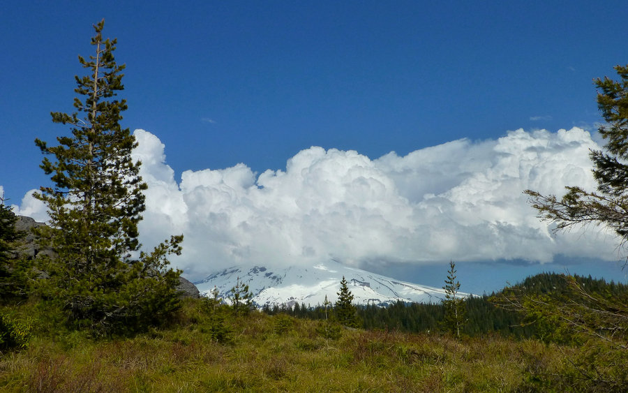
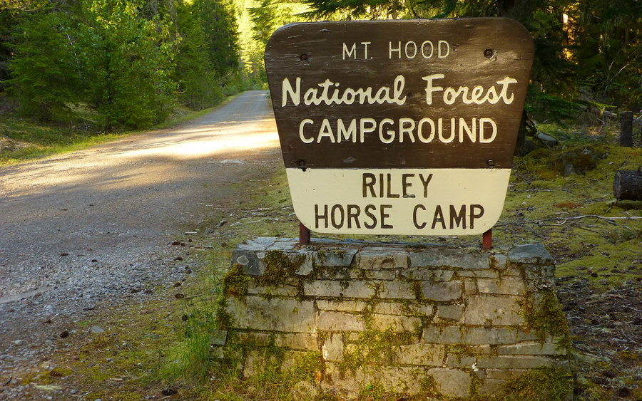
Dear trail friends warned me, "Boriest. Trail. Ever." Well, I'm not entirely sure about that, but you do walk uphill for 5 miles before catching a view. Once up top, though, wow! I just love wandering around on Zigzag Mountain. Took the Cast Creek Trail up from Riley Horsecamp, to the junction with Zigzag Mtn Trail, where I veered east to go have lunch on top of East Zigzag. Beautiful views in all directions, including the usual bevy of volcanoes (St Helens, Rainier, Adams, Hood, Jefferson, and Tree Finger Jack - a little too hazy for the Sisters), Burnt Lake below, foothills in all directions, even familiar Gorge peaks such as Silver Star, Defiance, Dog, etc. Man, what a view! Luxuriated in that for some time before heading west again, and looping Cast Lake, which was still surrounded with snow on the south side. That should've been a hint. After that loop, I got back on Zigzag Mtn Trail and kept going west, aiming to descend on the Horseshoe Ridge trail. Well... It took me over an hour to get just ONE MILE across that north-facing slope on West Zigzag. The snow drifts were still 5-15' deep, and the trail was probably 90% covered. Ugh! I kinda-sorta knew where I was going, though, and was confident an end was near, so I pushed on. So glad I did! There's a viewpoint near the next trail junction that's just superb! And at this time, thunderboomers were forming over the Oregon volcanoes. Really beautiful. I reluctantly turned down the Horseshoe Ridge trail, finally, and made it the 5.5 miles back to Riley to complete the loop. Honestly, I didn't find either the climb up or down to be all that boring. Pretty darn nice day in the woods, all in all! :-)