August 1 to August 3, 2011 Julia Willoughby Lake 8 miles 250 feet gained 2 nights
Recent Hikes
August 1, 2011 Anne S. Coldwater Peak 14.5 miles 2,000 feet gained
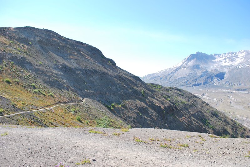
Started off at Johnston Ridge Observatory early, undecided as to whether I'd try for Loowit Falls or Coldwater Peak. Had initially intended to scope out Mt Margaret snow levels for next week's hike, but have been wanting to head out to the base of the crater for some time. the hike along the blast zone was phenomenal, had actually never done that one before,...
July 31 to August 1, 2011 Julia Moses Creek 4 miles 0 feet gained 1 night
July 31, 2011 Joe Omundson Cape Horn 7 miles 1,250 feet gained
July 31 to August 1, 2011 Kyle Meyer McNeil Point 11.5 miles 3,500 feet gained 1 night
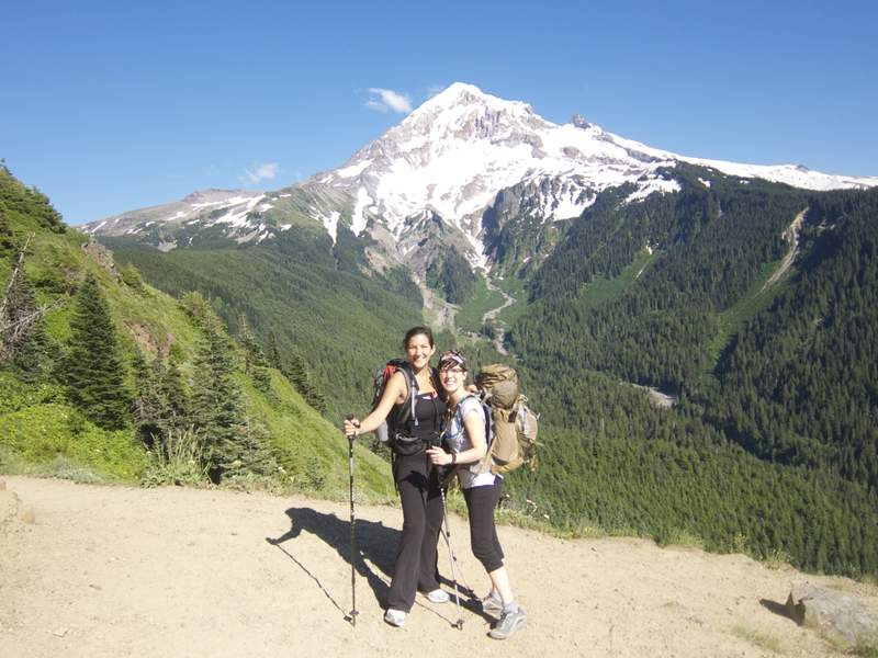
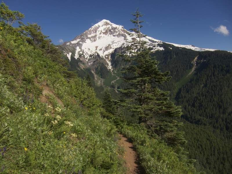
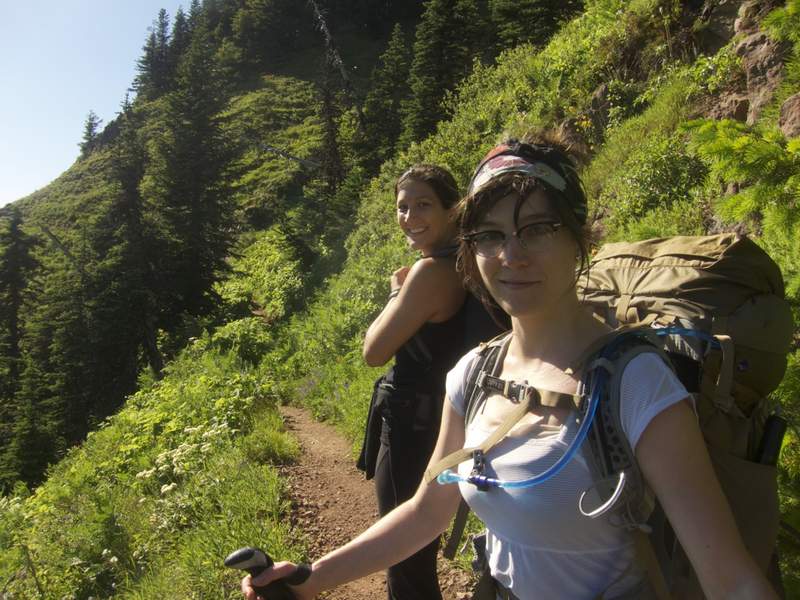
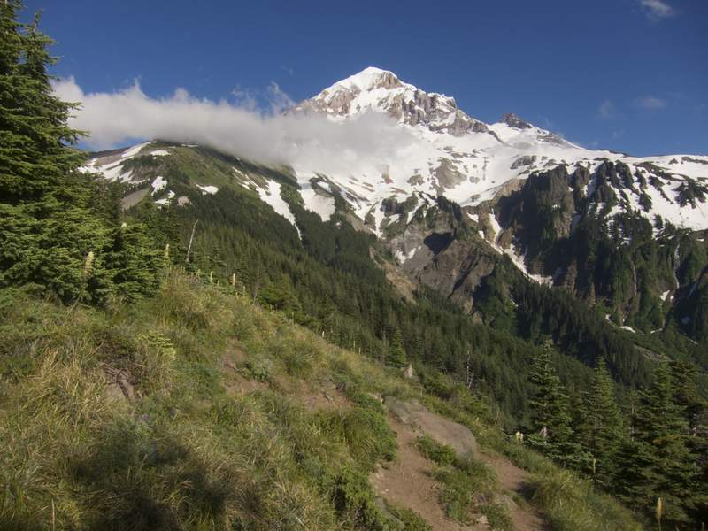
My wife Christy's sister was in town from Florida and was getting the whirlwind tour of everything Portland had to offer for a week. My portion of that tour was picking a perfectly representative location to backpack. I decided we'd head up to McNeil Point and stay in the shelter up there. At the trailhead when asking about conditions, a lady told me the she...
July 31, 2011 Josh Mayer Toketee Falls 1 miles 0 feet gained
Fantastic falls cutting through volcanic rock. Cute viewing platform.
July 31, 2011 Josh Mayer Clearwater Falls 1 miles 0 feet gained
Whitehorse Falls is 272 feet, fourth highest in Oregon. Amazing! Looks a bit like Multnomah, but all one freefall. Lots of vegetation I have not seen elsewhere.
July 31, 2011 Josh Mayer Chaski Bay 1.5 miles 0 feet gained
Fun hike. Leads to the watchman tower overlooking Crater Lake. Short, but much of the trail is still under snow, creating a steep, somewhat slushy bank you cut steps into. Great panoramic shots. If it wasn't a little hazy, could have seen to Mt. Shasta, but we saw to the Kalamath Basin.
July 30, 2011 Jack K. Mount Defiance 11.5 miles 5,000 feet gained
One to cross off the list-not particularly one to enjoy.
July 30, 2011 Sirhikesalot1 Lower Ape Cave (Passage) 3 miles 500 feet gained
My youngest son missed out on the spelunking last weekend, so we went back again today to do the upper portion of the caves. It was a balmy 40 degrees underground and 85 outside..
July 30 to July 31, 2011 Water (Matt) Mt Margaret 15.5 miles 2,500 feet gained 1 night
My pops is able to tack on a weekend or so in Portland every few months when he has to fly to Oakland, CA for business. He knows we're (or me at least) are hiking addicts, especially at this point in the year, so, we take him out for the best we know of, when the weather is right for adventure. Large Marge BC captivated us to no end last year. Even on a fogg...
July 30, 2011 Josh Mayer Kerr Valley 2.5 miles 0 feet gained
Newly built trail off Pinnacles Road, which is a spur off of the Rim Road at Crater Lake. Very level hike to a beautiful falls and cascades. My aunt thought it looked like a small Ramona Falls. Listed this as 2.5 miles, even though 2.2 because Cleetwood Cove was also 2.2, so the extra 0.4 has to get in somehow.
July 30, 2011 Josh Mayer Llao Rock 2 miles 0 feet gained
This is the trail that leads to the shore of Crater Lake. Lots of people leaping into the lake from the cliff. Lake was beautiful, as usual.
July 30, 2011 Randy Frost Moffett Falls 10 miles 3,750 feet gained
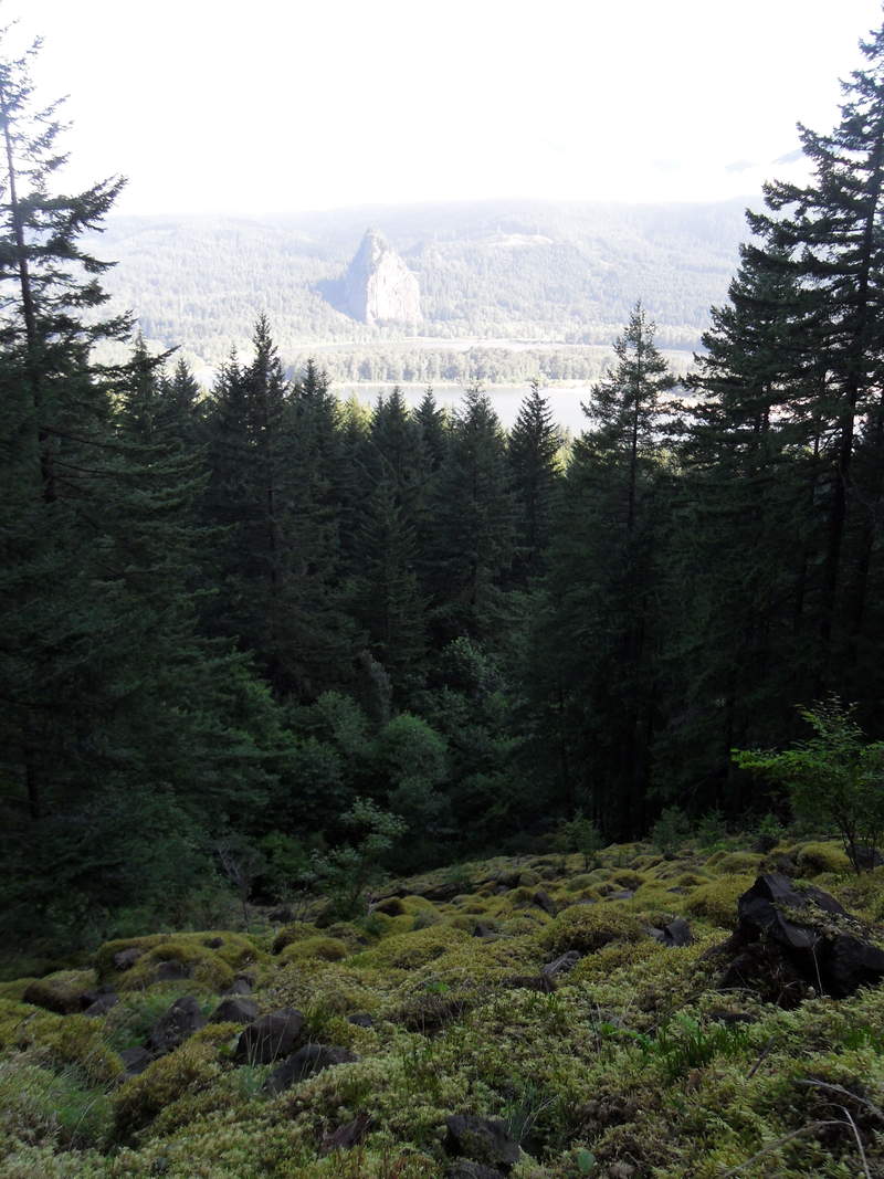
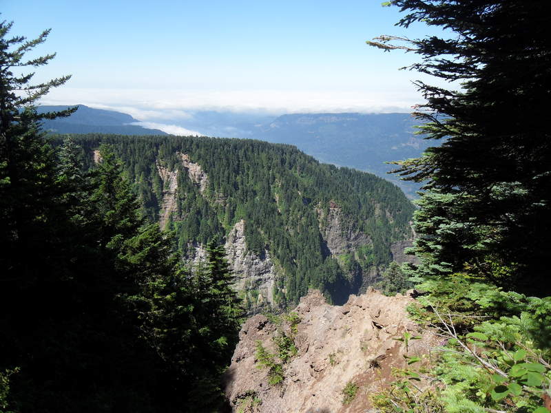
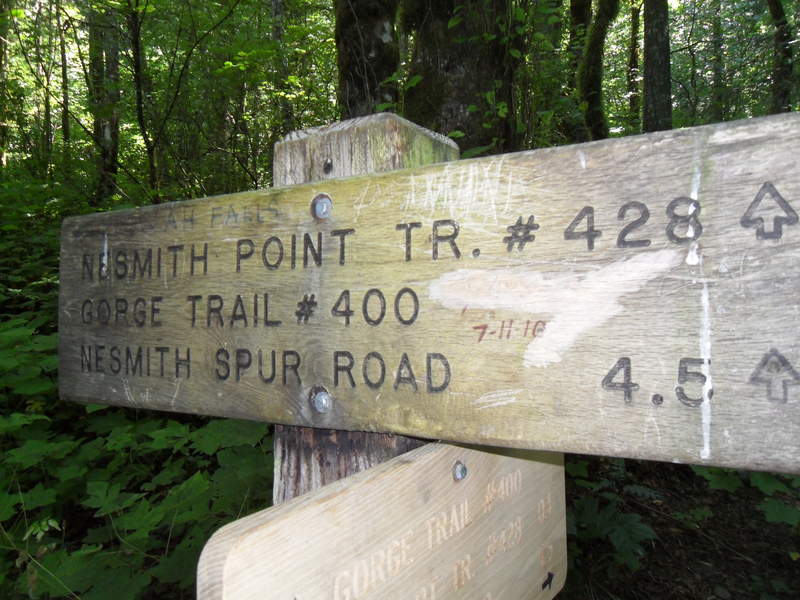
Needing to condition for St Helen's in two weeks, we headed out for Nesmith Point. We were able to see St. Helen's to the north but the west end of the gorge was clouded over. It was a nice hike for a Saturday it was not very crowded.

July 30, 2011 Christophe Deppe Mount Dickerman 8.5 miles 4,000 feet gained
July 30, 2011 Justin Wright Dog Mountain 21 miles 8,500 feet gained
Set out to do the quad dog today with Captain Defiance and Eric. Got three laps in and had to call it an early day due to something that came up. Still got a nice workout from it. What's next?
July 30, 2011 Eric Peterson Dog Mountain 24 miles 11,000 feet gained
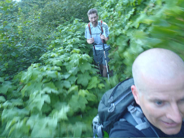
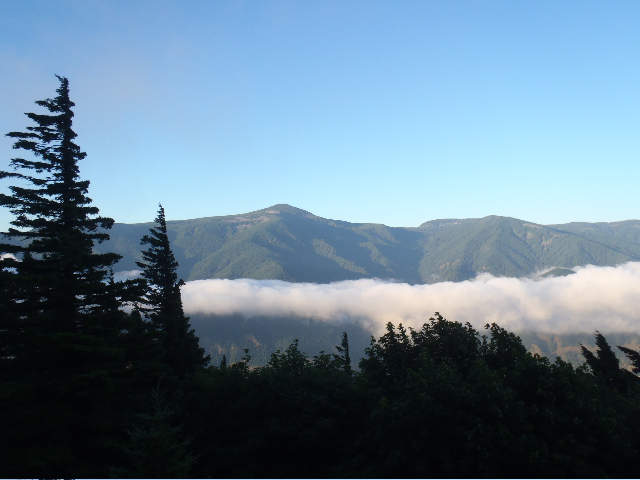
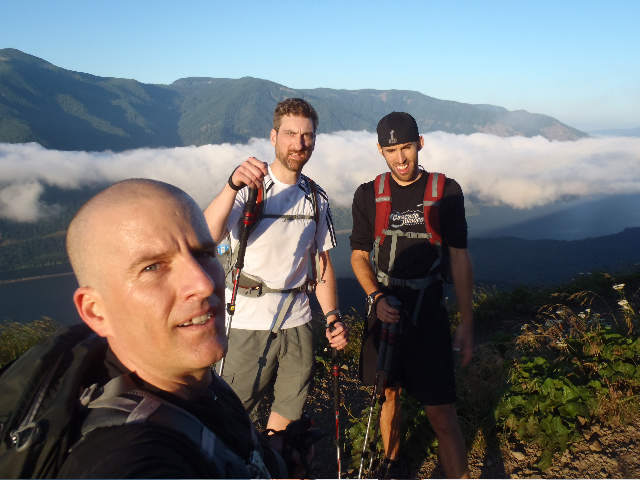
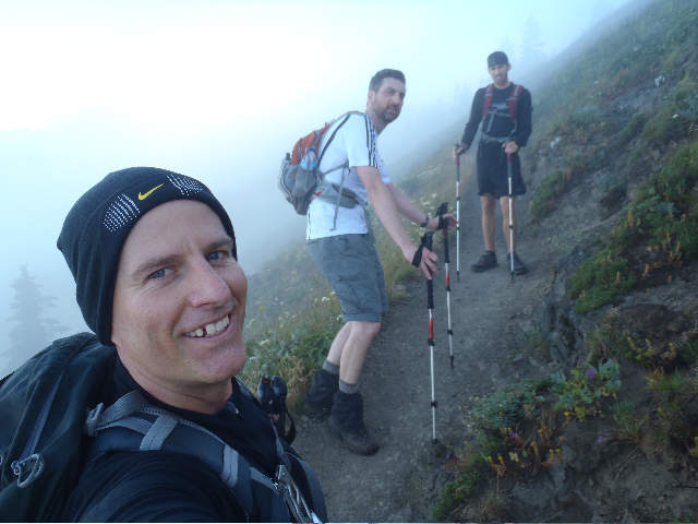
Quad Dog Challenge 2011 - Arundodonax aka Chris, double dog dared Justin to do a 4 Dog Mt hike. Mayhem must have seen them having the convo over on WH.com and wanted in and texted me Thurs. night for a invite. I said yes. :) I'm crazy. Got up around 3:10 am to meet Justin and Mayhem at Dog MT. Was suppose to be a 5 am meet up. I made it there about 5 after 5...
July 30, 2011 Chris Top Lake 11 miles 2,000 feet gained
I wanted to do a long mileage hike with only moderate elevation gain to break in some shoes and do a little training for an upcoming trip down in the Sierras. Unfortunately, I failed to heed the warning that the Olallie mosquitos were ravenous. Surely, I thought, the warm weather and daytimeyness would keep them at bay. Nope. The little buggers just got wors...
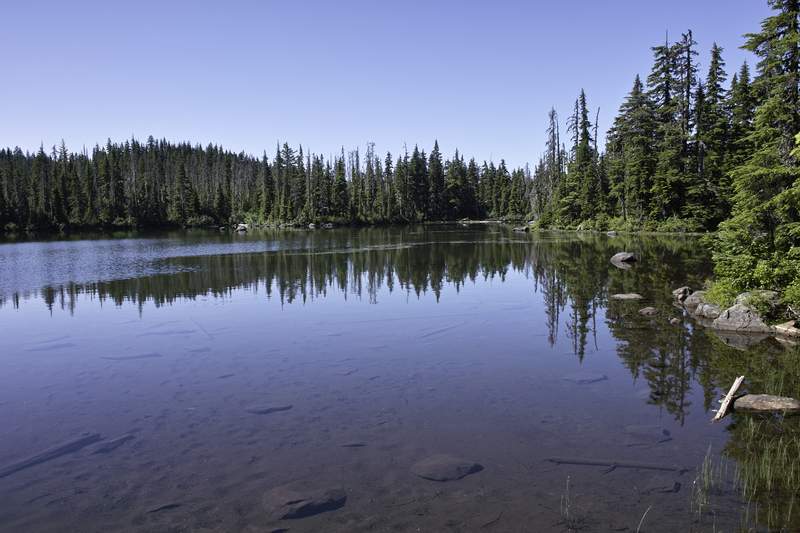
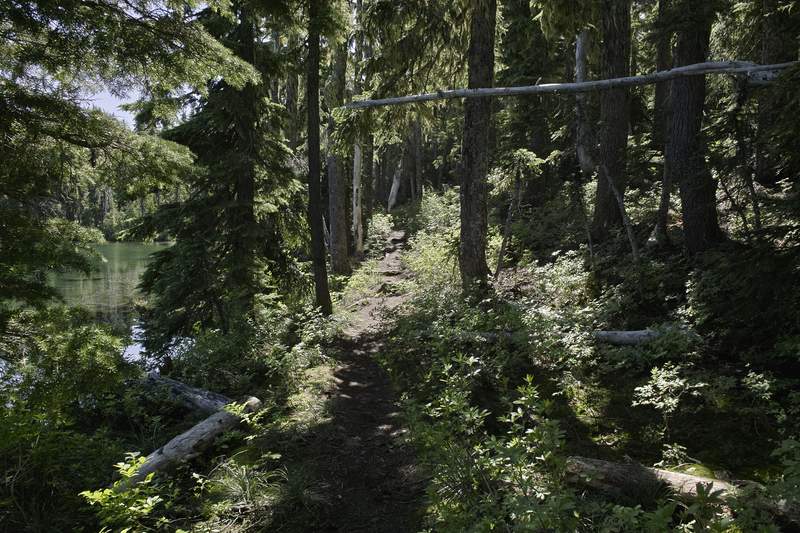
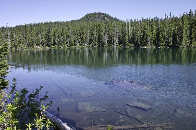
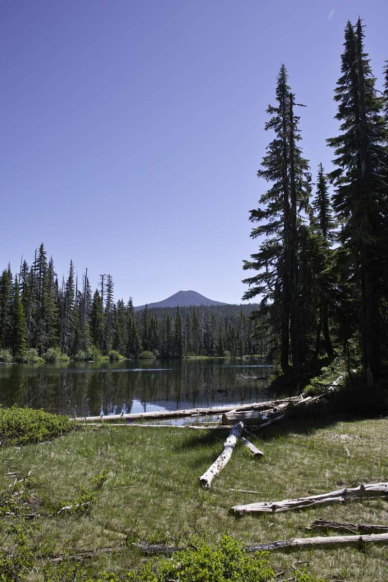
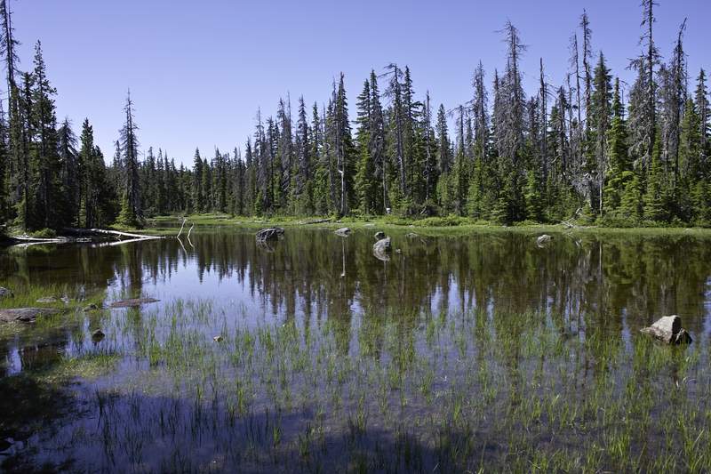
July 29 to August 1, 2011 Roman Mirror Lake 21.5 miles 4,500 feet gained 3 nights
Did a 3-night backpack with my mom in the Wallowas, a completely new area to both of us. Started kind of late on Friday and camped above the first series of the switchbacks and somewhat difficult river crossing. Then we went along scenic Lostine River meadows and stopped about 1.5 miles before the Lakes Basin, remembering reports that this area is famous for...
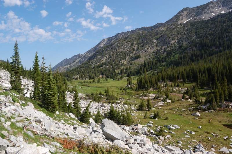
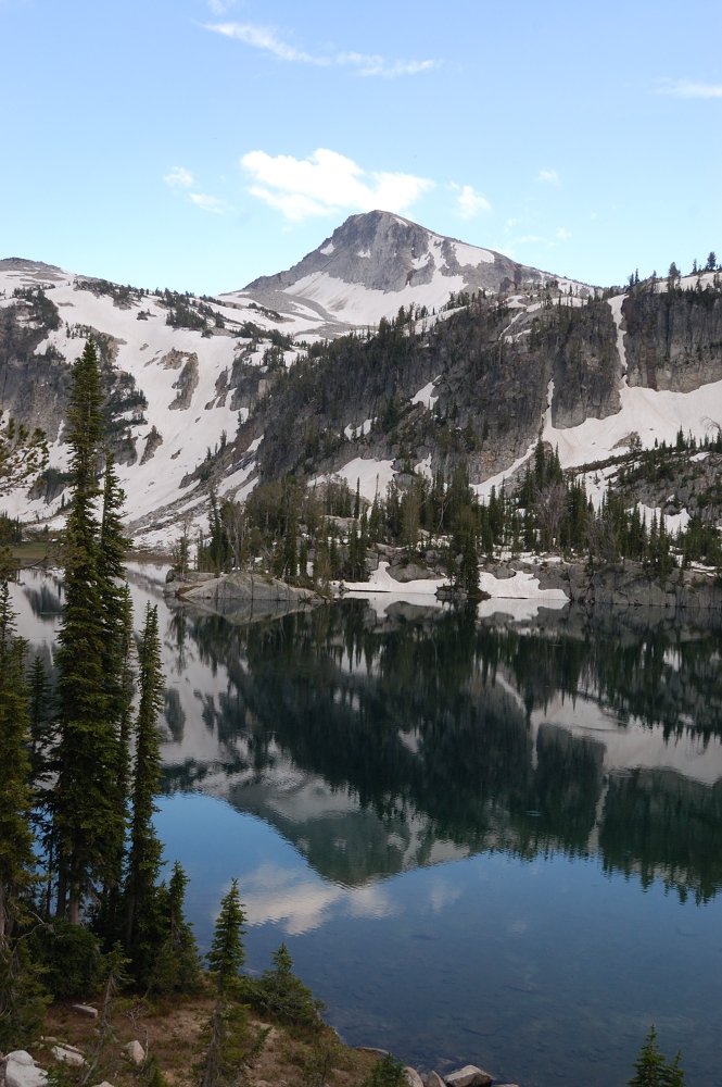
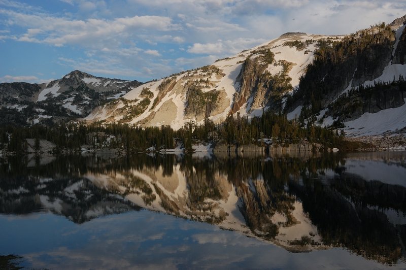
July 29, 2011 Jen Silver Star Summit 10 miles 2,500 feet gained
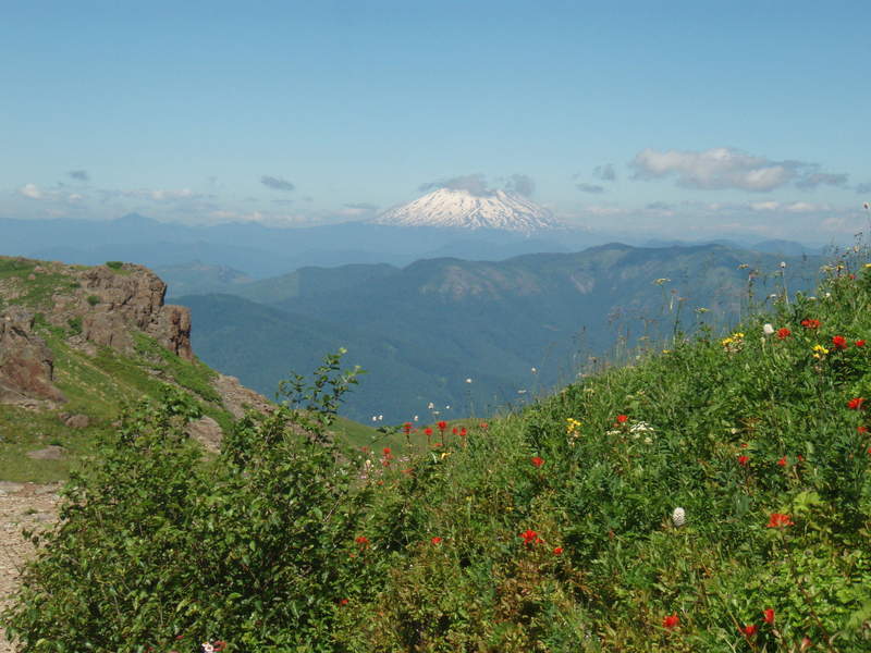
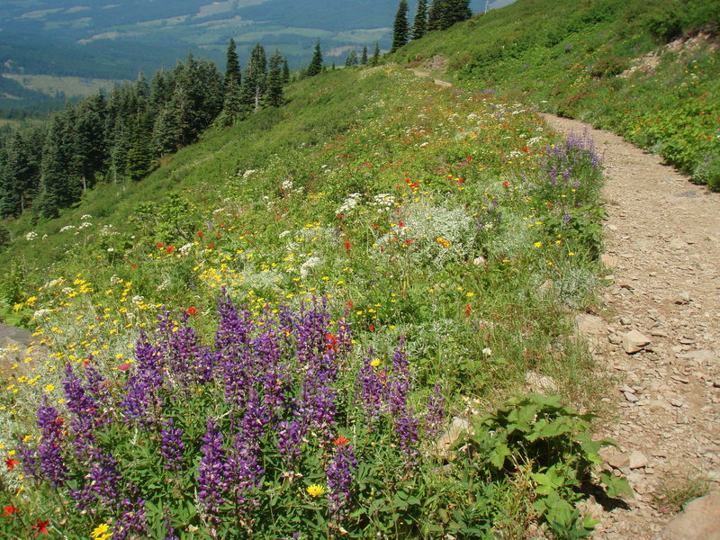
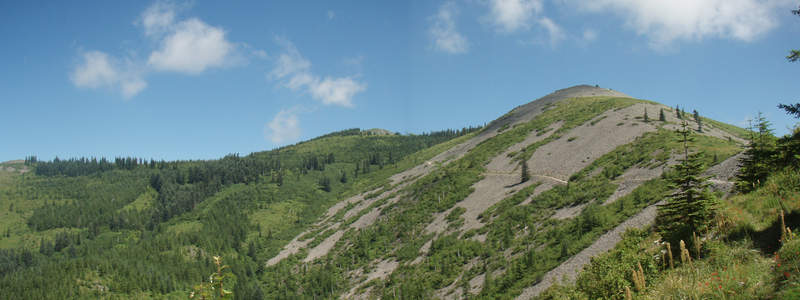
As I was driving up to Grouse Vista, I saw the WA discovery pass sign and realized I didn't have any cash to buy a pass, so I started at the gated logging road, which on some maps is supposed to be where you pick up the southern end of the180 trail. I took two wrong turns, but eventually found myself below the ridge with the indian pits on a road that was ve...
July 28, 2011 ChurchFish Silver Star Mountain 6 miles 2,000 feet gained
July 27, 2011 jon Carson Range 10 miles 2,250 feet gained
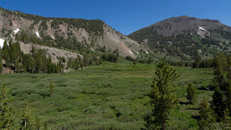
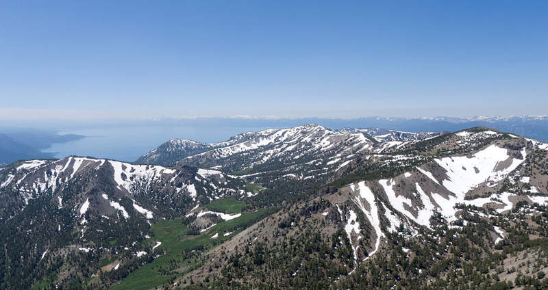
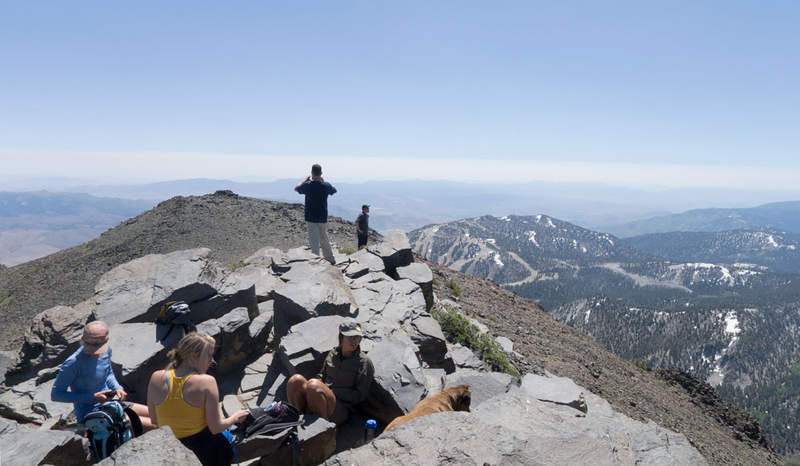
While visiting a friend in Reno we struck out for this popular day hike near Lake Tahoe. It's fairly stunning how little snow the east side of the Tahoe Basin receives because even at 10K feet, there were only patches here and there, versus the west side where we spotted a few skiers enjoying their late snow season. The trail starts off a bit crowded, as it ...
July 27, 2011 Bosterson Mount Adams 12 miles 6,750 feet gained
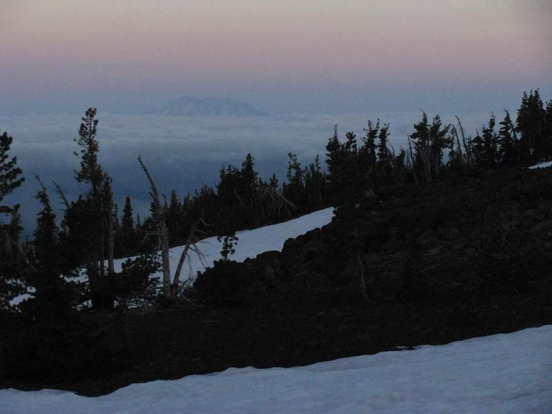
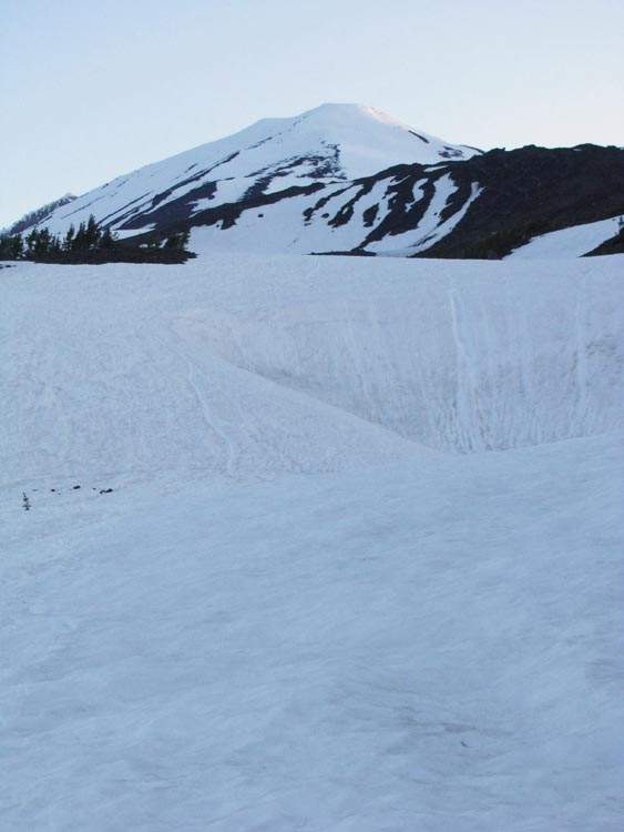
Drove up to Cold Springs Campground on Tuesday night - the road is snow-free. Hit the trail at 4:40am Wednesday morning. Clear skies, though a little hazy in the distance towards Hood. The snow up to the Lunch Counter was firm and had a well-beaten track to follow. Crampons at Lunch Counter and then up to Pikers Peak - super windy up to. Across the saddle an...
July 26, 2011 TJ Horsetail Falls 2 miles 1,250 feet gained
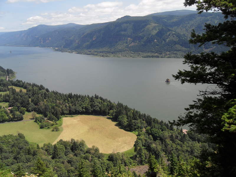
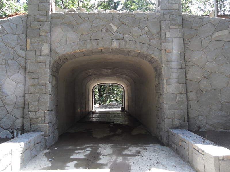
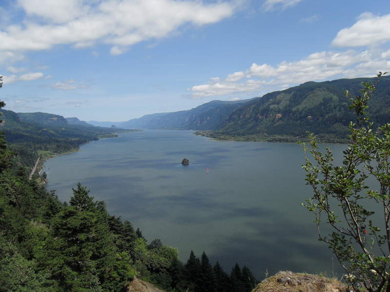
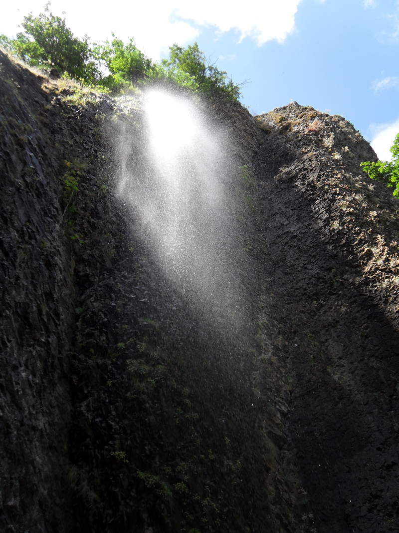
July 26, 2011 Randy Frost Cape Horn 7 miles 1,500 feet gained
I woke up this morning with the intention of hiking Silver Star via Grouse Vista Trail, but I couldn't see the summit because of cloud cover. I decided to go do the Cape Horn Loop. This is my first hike since I had recovered from a fractured bone spur on my heel. I have a group hike on St. Helen's scheduled in three weeks, so I need to get back into shape. T...
July 26, 2011 Jen Three Corner Rock 10 miles 1,750 feet gained
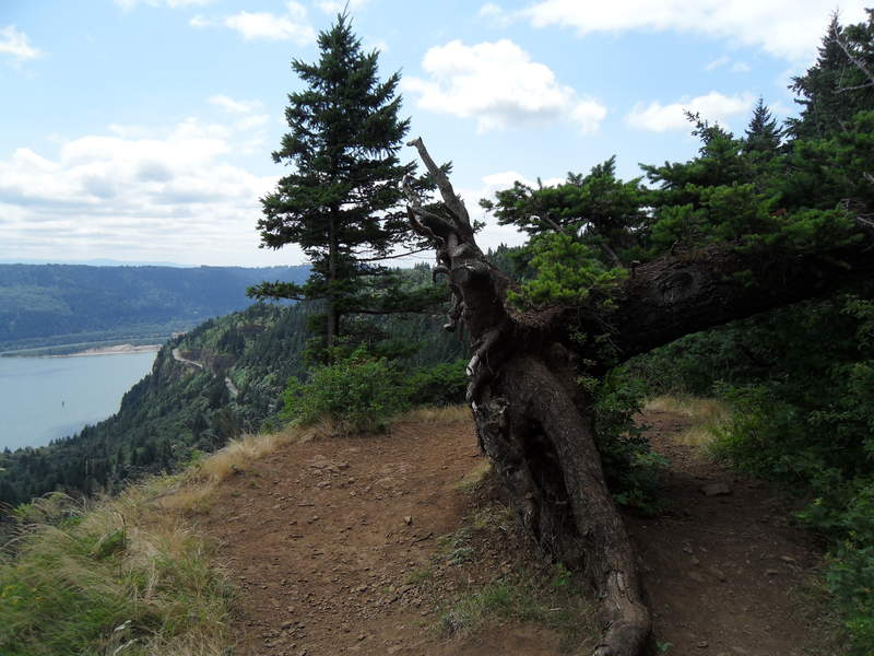
I started where the PCT crosses CRG2000. This section between here and Rock Creek Pass is unremarkable, and I would recommend skipping it and starting at the higher Rock Creek Pass TH ( near the jxn of CRG 2000 and 2090). Very cool, humid and cloudy today, but the wildflowers on the ridge top were spectacular!
July 26, 2011 Chris Tom Dick and Harry Mountain 6.5 miles 1,750 feet gained
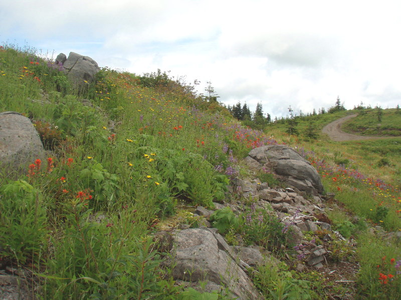
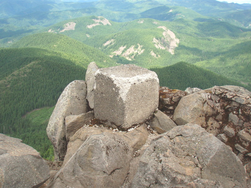
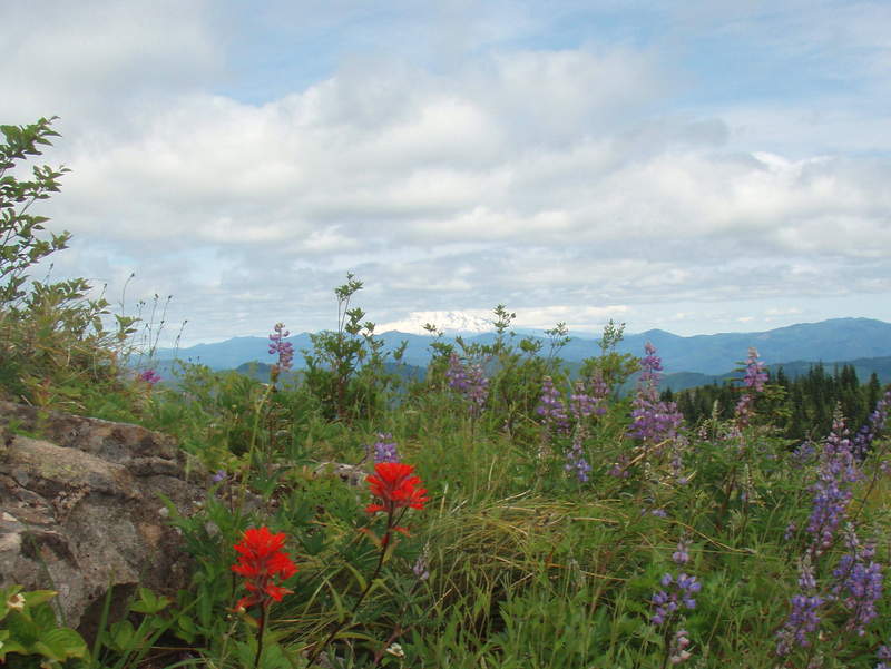
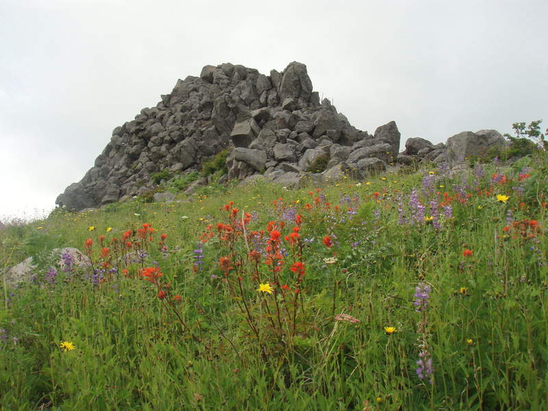
After work. The mountain only came out occasionally, and not very much when I got to the top. No one else past the lake, but 2 separate camping groups at the lake on a Tuesday night.
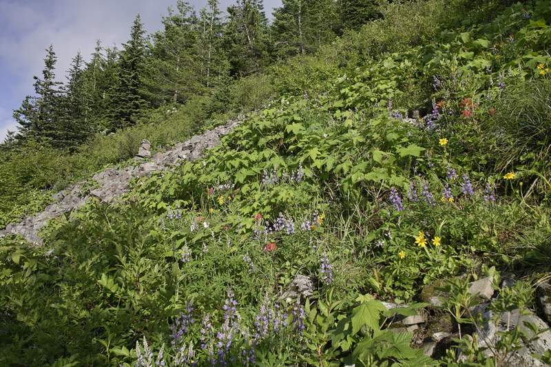
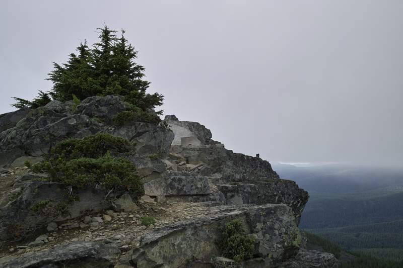

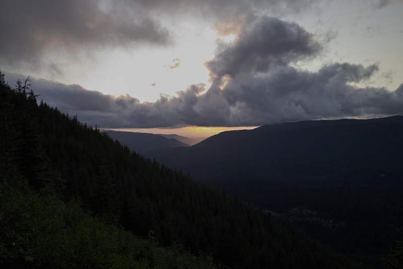
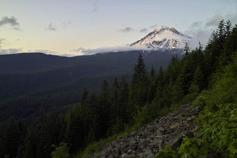
July 26, 2011 Josh Mayer Buck Point 9 miles 0 feet gained
You can find the info on other pages or trip reports. Had fun. Nice hike.
July 25 to July 28, 2011 Julia Hoh Head 17 miles 250 feet gained 3 nights
July 25, 2011 Anne S. Umbrella Falls 6 miles 1,250 feet gained
Fun, easy dayhike with the hubs. Pretty weather, even though Hood was mostly obscured by clouds and didn't show up in our pictures too well. The meadows were pretty through the trees, but the highlight of this little hike was the river crossing. Definitely our most challenging yet, and prepared us well for some much easier crossings on our partial JMT next m...
July 24, 2011 Joe Omundson Lost Creek Nature 7 miles 1,000 feet gained
July 24, 2011 Jack K. Iron Mountain 7.5 miles 1,500 feet gained
Best views in the state, nice wildflowers.
July 24, 2011 TJ Top Spur 14 miles 3,000 feet gained
Hi. This is my first trip report. I wish I could post photos but I am currently in the process of replacing my camera and computer. I decided to try McNeil Point after seeing photos from a friend who spent the night at one of the campsites along the ridge above the shelter. I crossed the TH threshold at 11:18am. The weather was perfect and the trailhead park...
July 24, 2011 Roman Lemei Rock 10 miles 2,500 feet gained
Full trip report is at http://www.portlandhikers.org/forum/viewtopic.php?f=8&t=8760. My guess it will take until late August to melt all the snow in that area. The trail still mostly covered above 4,800', and first patches start at 4,000'. I managed to get lost on the way in (went to Lemei Rock but found myself at Wapiki Lake), and then on the way out (went ...
July 23, 2011 Rick Walker 7.5 miles 250 feet gained
This is a beautiful hike with moderate climbing. Beware ticks in the summer months. Take more water than you think you need. Near the cave the trail mixes with equestrian trails and can get a little confusing. The trail map available at the cabin headquarters mixes the blue dot marked trails colors a little. But your never really far from a road after you pa...
July 23, 2011 Jack K. Meditation Point 13 miles 750 feet gained
Beautiful Day, lots of sun and a nice swimming break in the middle.
July 23, 2011 Sirhikesalot1 Ape Cave 1.5 miles 250 feet gained
Spent this hot day underground with family and friends.. Had fun spelunking...
July 23, 2011 Debbi Teacup Lake 5.5 miles 1,250 feet gained
July 23, 2011 jon Mount Saint Helens 9 miles 4,500 feet gained
This turned out to be a last-minute thingy. A good friend of mine and his fiancée signed up for this one a few months ago with their co-workers, but I first heard about it last week. He wanted to know if I could make it, so I tried all week and finally was able to snag a couple of permits on Friday for myself and the girlfriend. Quick tip: if you want to go ...
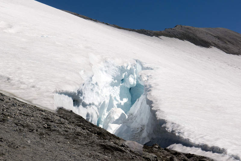
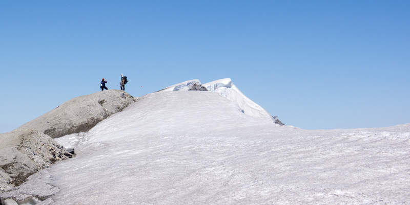
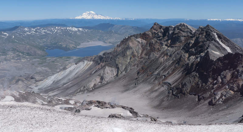
July 23, 2011 Christophe Deppe Glacier Basin 8 miles 1,750 feet gained
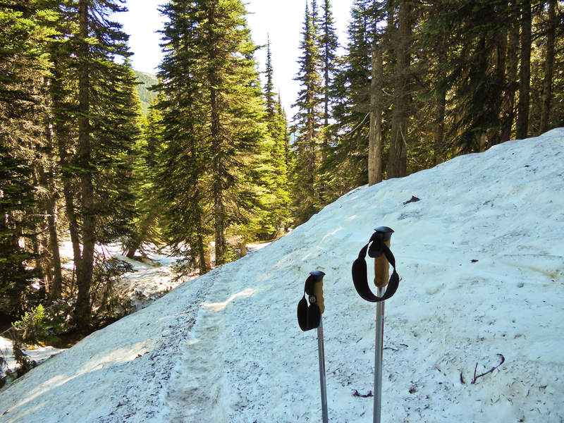
July 23, 2011 Eric Peterson Kings Mountain 10.5 miles 4,000 feet gained
Snuck up on Mayhem and Crusak since I was a tad late. Mayhem's dog caught me though! I parked at about the half way point along the Wilson River HWY, had to 'schwack a bit through some stickery stuff to finally meet up with those guys. Roy was meeting us at the junction that shoots up to Elk but he left a note saying 'Roy up Elk', so we met Roy on top of Elk...
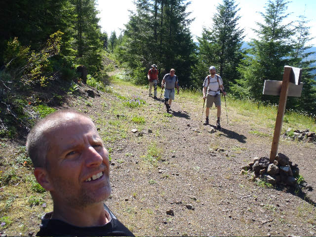
July 23 to July 24, 2011 Jen Oval Lake 6 miles 1,000 feet gained 1 night
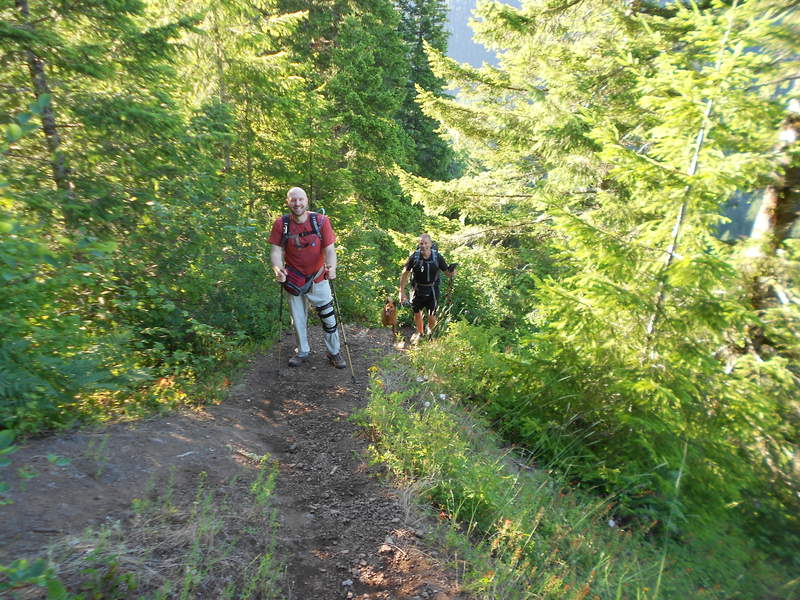
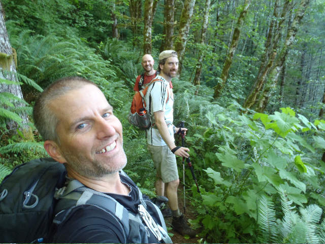
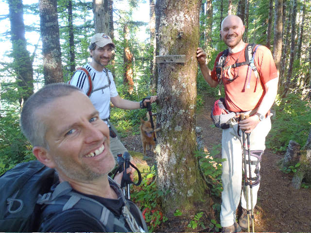
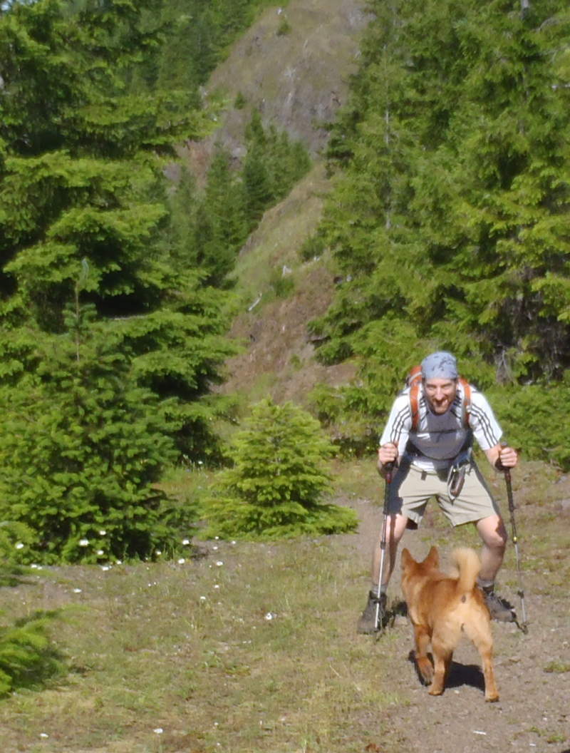
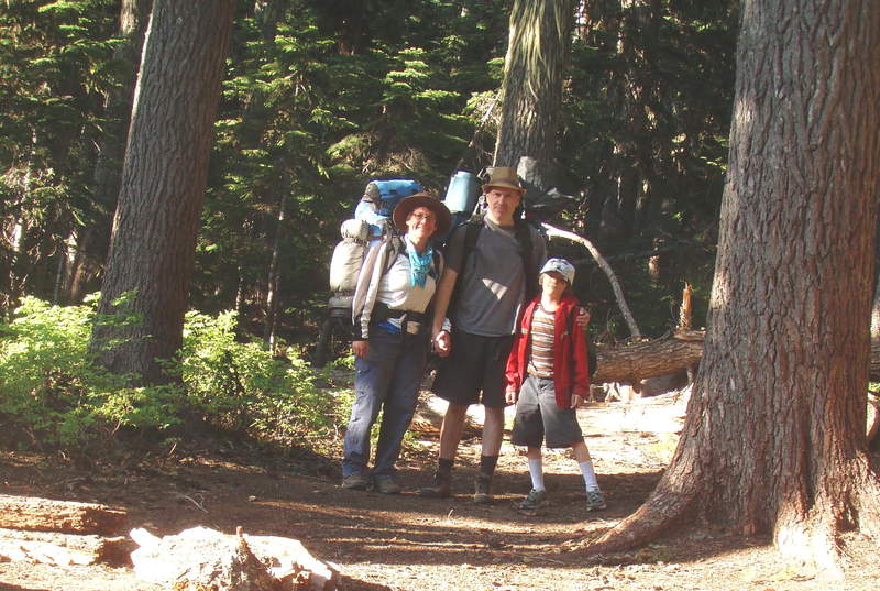
This was our first family backpacking trip. My son ( 8 years old) carried a small pack with his clothes, sleeping bag and a few other items. He has done a great job hiking lately, but the higher elevation and pack made this a bit hard for him. We didn't go very far, but conditions were good- warm weather, minimal bugs, great wildflowers. We camped at Oval La...
July 23, 2011 Roman Silver Star Mountain 6 miles 2,250 feet gained
Hiked with my parents from North trailhead, via Ed's trail to Star 2 (Star 1, the summit a few feet higher, was too crowded and Star 2 has a better view). Continued south from Star 2 on an faint trail to reconnect with trail 180E, then to the lower summit overlooking a scree field with Indian Pits (kind of saw them). Up on trail 180E bypassing the summit, th...
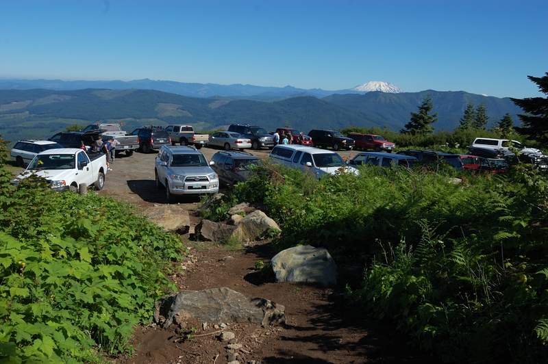
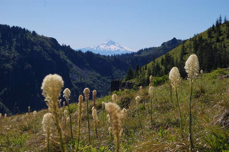
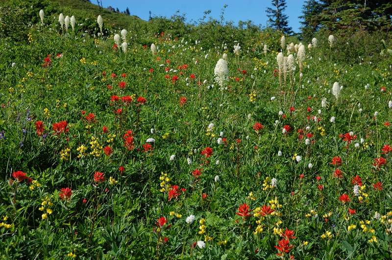
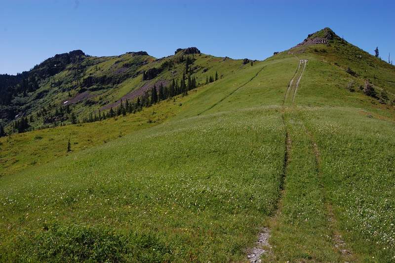
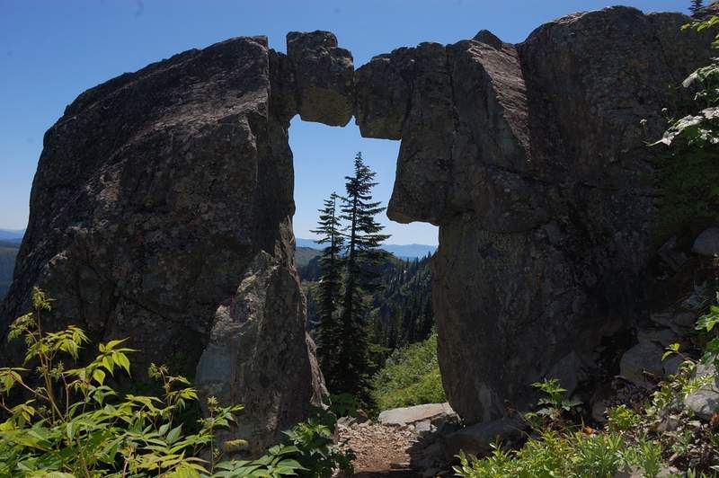
July 23, 2011 Justin Wright Dog Mountain 15 miles 5,500 feet gained
Went out and did Dog Mountain twice with my girlfriend today. Figured I'd keep my "hikes with at least two D's" streak alive.
July 23, 2011 Roman Grassy Knoll 6.5 miles 1,500 feet gained
This hike was recently covered in PH.org so I won't go into trail details. We went a bit beyond Grassy Knoll (to Grassy Pass) - the trail follows the ridge up and down, and there are some great wildflower meadows from GK to GP. Flowers are still great, especially higher up. Also saw a lot of recent signs of bear activity - bear poop on the trail, and several...
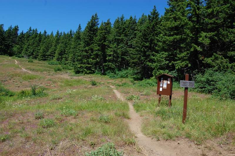
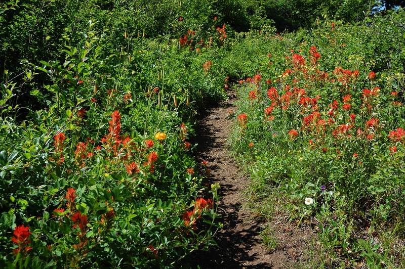
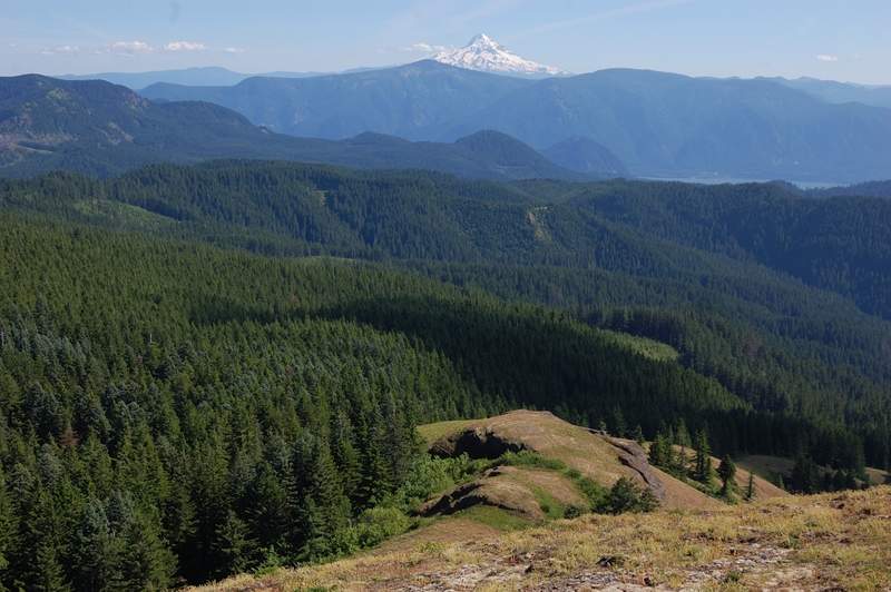
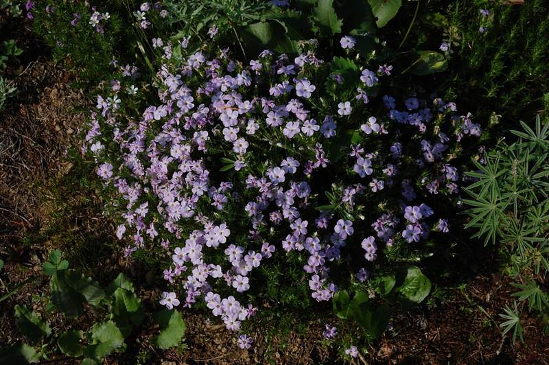
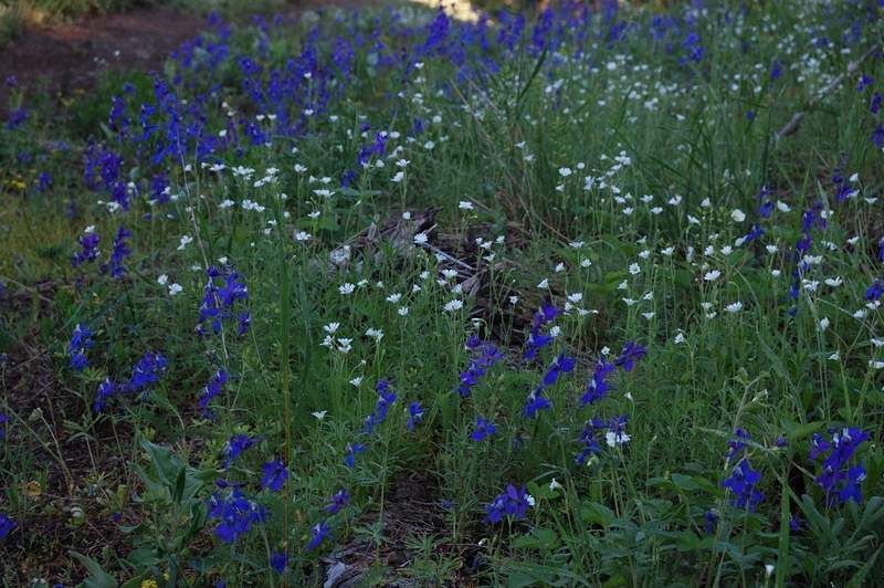
July 22, 2011 Phoebe "BertMoss" Moffett Falls 4.5 miles 500 feet gained
One of my favorite falls to visit
July 22 to July 23, 2011 Water (Matt) North Sister 12 miles 4,750 feet gained 1 night
Fun time on North Sister. Team RamRod/Pickett didn't summit due to being too late in the day / softening snow. Left PDX in two vehicles on Friday evening. Dindin in Sisters, then camped just off the road about 3 miles from the TH. Paul found us an absolutely fantastic spot to cowboy under the Ponderosas. For only 4 hours of sleep, the night was memorable: Cl...
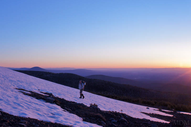
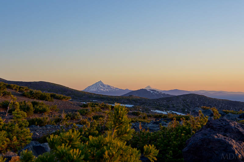
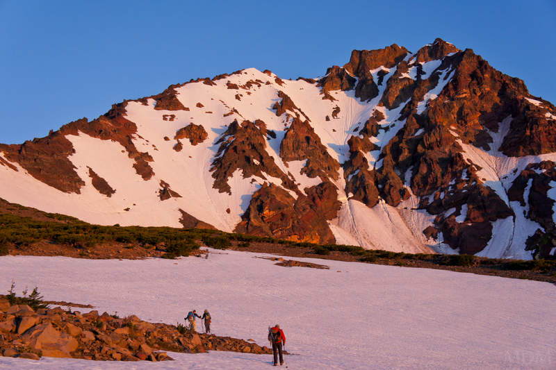
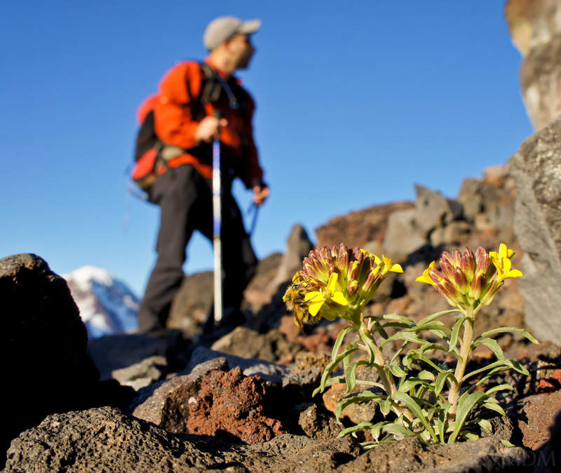
July 22 to July 23, 2011 Chris Plains of Abraham 17 miles 2,250 feet gained 1 night
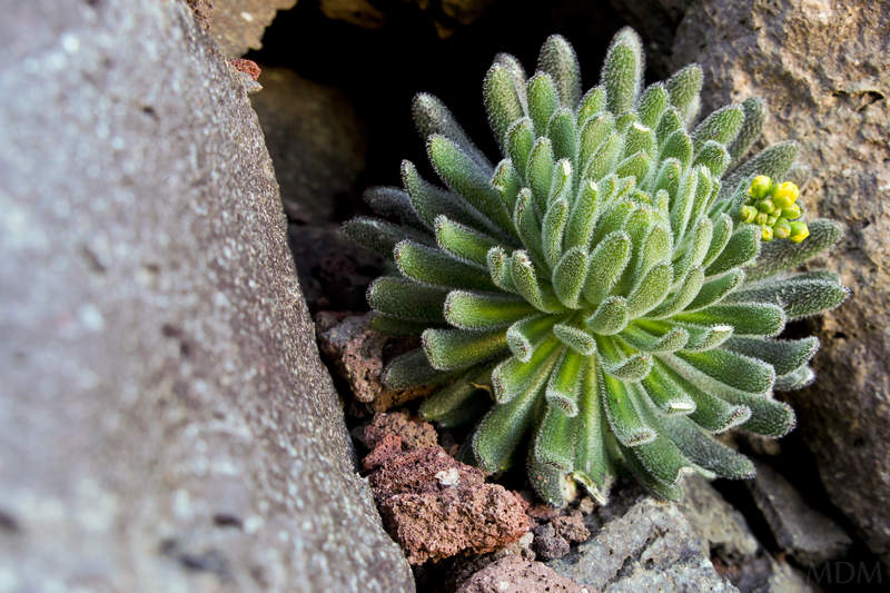
Father Abraham, had many sons. Many sons had father Abraham... Did Plains of Abraham from Ape Canyon. I saw a few bikers coming down on Friday night, and a few hikers and bikers on their way up Saturday morning, but otherwise saw no one once I got to the plains. The first few miles are a bit of a snooze-fest, but once you get up to the ridge this is a great ...
July 22, 2011 Josh Mayer Holmes Point 2.5 miles 0 feet gained
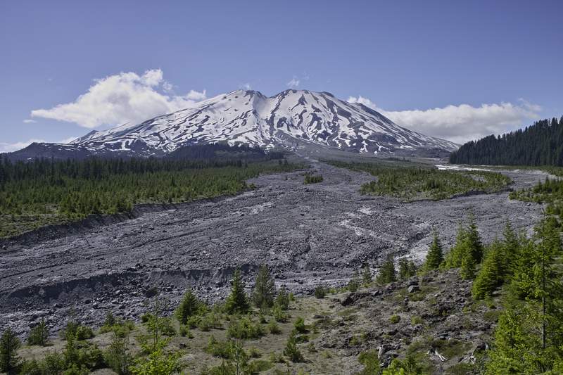
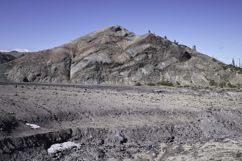
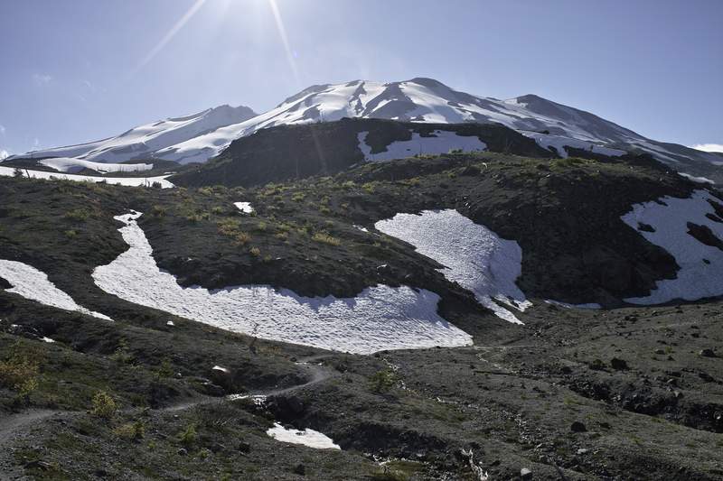
Hiked a few short trails in the park down to Lake Washington and back to the house.