

19 miles of hiking • 5750' elevation gain • 1 night
I was trying to find an offroad route from alex barr rd. to ne toll/ne brower (basically to get to Palmer Mill Rd from the west). first picture is my theoretical route. second picture is what it actually looks like (it's all private property, and looks like regularly used logging roads surrounded by clearcuts).
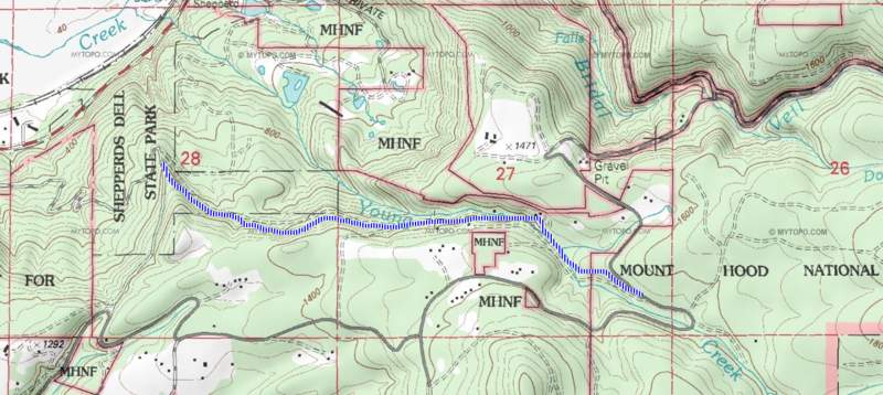
i decided to investigate the logging roads to the north of the high portion of Palmer Mill Rd, where it's now National Forest. You can see my route to where i got tired and it was getting dark. I stealth camped on Franklin Ridge.
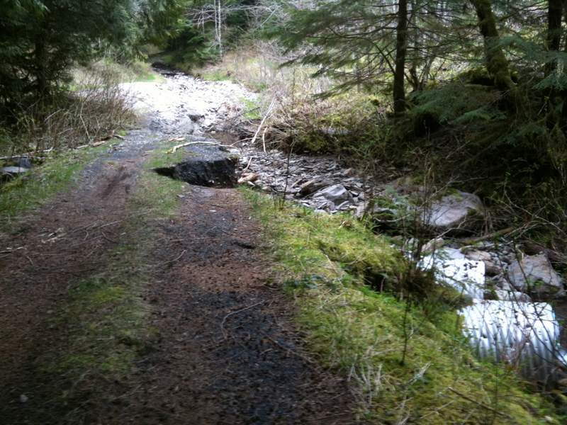
I was trying to find a back way from upper Palmer Mill Rd up to Devil's Rest. I found my way rather easily around on the main old logging road at first, but i missed the left hand turn (turns out this turn is very obscured by new moss growth, see further down) and ended up back on Palmer Mill Rd, further to the east. I took my second backup option and tried to find another route from Multnomah Basin Rd? (#129) to Devils Rest. Some pictures included are the washout on upper Palmer Mill Rd. The logging road shown in most maps that goes from the road off of #129 to Devil's Rest Trail seems to have disappeared. I've never been able to find it from either end, but it's a pretty simple bushwack... There is also still the pretty obvious 100 yard trail from #129.
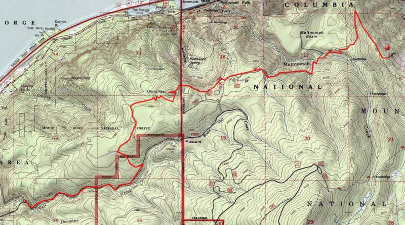
From there i hiked down towards Wahkeena and then to Larch Mountain Trail. The "high water" trail is a shortcut to where Multnomah Basin Rd enters its namesake. There is a maze of trails (for a first timer..) in there that aren't on the maps. One of these trails i've nicknamed the Christmas Tree trail. It cuts off the road's seemingly pointless switchback (it's all flat up there). Just northwest of there are tons of spots one could camp just off trail.
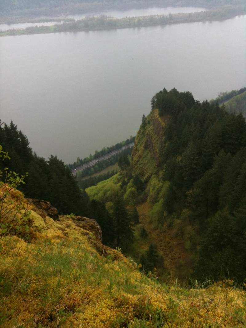
I still had more time so i kept walking to see where it would take me. Turns out there is a Trail Lodge setup on the northeast corner of the basin ridge (Nesika Lodge). Some references to these in the PortlandHikers Trail Guide, as well as about the viewpoint for Waespe point. amazing viewpoint over the highway/river looking east (see pictures)
After a dark and stormy night i hiked back via the Basin road, short-cutting some of the trails. This time i hiked back over Devils Rest so i could try to find the logging road i missed on the way in. Some of you have probably seen it connecting to the foxglove-way trail that goes down to angels rest. I took that left (south) and popped out in some random place i had walked the day before. The blue dots on the maps i've included are sections where there used to be meadows (from clearcuts?) which are being overtaken with alders and hemlocks and they make the old roads/trails extremely hard to follow. someone has put ribbons on the trees in areas where the trail is not obvious. helpful (but not always reliable due to the sheer volume of random old roads back there)
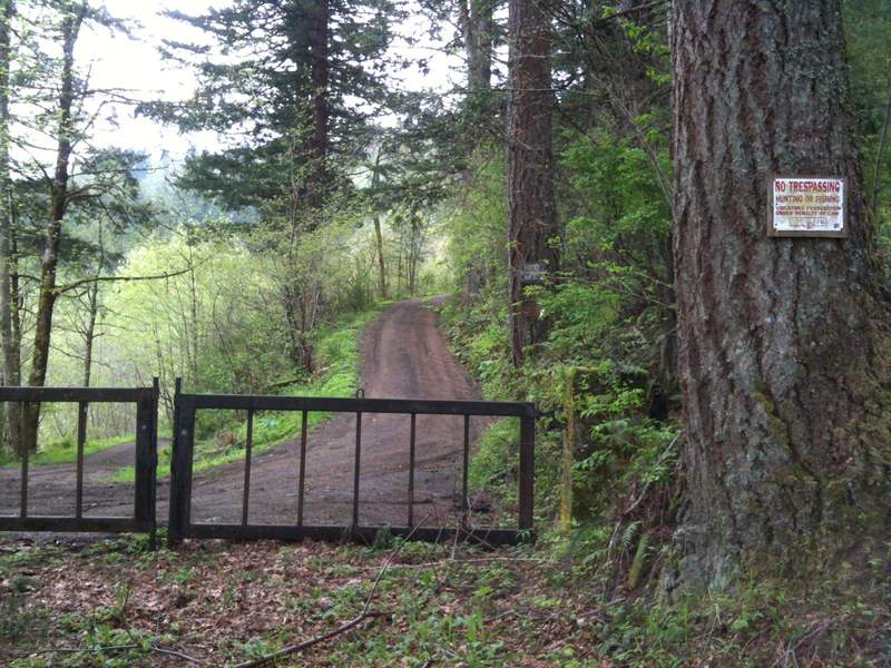
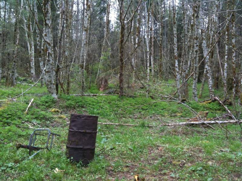
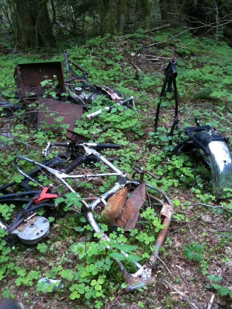
It's kinda weird back there. Not very highly traveled at all, tons of old dumping from when the roads were still open. probably in the 70s or 80s based on the vintage of the motorcycles and tires. lots of bullet holes and beer cans. Someone obviously maintains the trails a bit. Some recent (1-2 years) chainsaw-action on the blow-downs. I even saw what looked to be a Ferris-Wheel car?? I ran into a local resident who gave me some info on lower Palmer Mill Rd closure (he's hoping they'll re-open it) and the 7.5 foot long cougar that owns that ridge above and to the north of upper Palmer Mill. No, that's not a colloquialism, just look at that print i found!


Comments

Kyle Meyer
May 16, 2011
Cool report. The backwoods aspect of this hike makes me want to go up there and explore, have a tire campfire heh.
Roman
May 15, 2011
Last winter I hiked to Devils Rest from Angels Rest on snow and saw big cougar prints that seemed to follow deer prints (could be the same animal whose prints you saw).
I am still not sure if I want to see a cougar in the wild or not.