

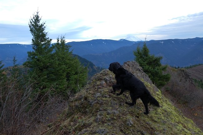
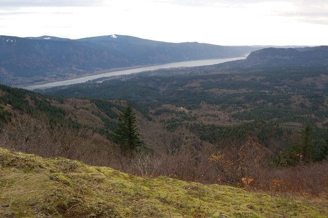
8 miles of hiking • 2000' elevation gain •
The trail is now 99% snow free.


Comments
Roman
November 27, 2011
I have annual pass, but here are a few after-thoughts:
a) Topo map shows a small GPNF patch of land on Kueffler, just above the turn-out to equestrian trailhead. The park staff might however think it's state park area - if you go there look if they posted Discover signs there as well?
b) For Hamilton, might work to park in one of the pullouts on SR14 (you may ask Chris (arundodonax), I think he wrote the first free pullout was 1/2 mile from Beacon Rock. At least the first pullout on the right E of Beacon had Discover sign posted).

Eric Peterson
November 27, 2011
Saw the Kueffler road idea on Topo and I would park another 1/4 mile or so up there to be sure. Was wondering if you used that equestrian TH to start your Hardy Ridge hike too.
The pullouts along 14, yeah, back when 5 of us did our loony Dog,Wind,Table,Hamilton and Beacon all day hike we parked in the pull outs that are just beyond the DP fee boundaries. :)
I guess I'm wondering when you say you do Hardy Ridge does that mean you just whip up one of those wider hiker/horse trails and skip Hamilton summit?
Roman
November 27, 2011
Yes, it was a small Hardy Ridge loop from equestrian trailhead. I did a portion of upper ridge trail as well, just not sure where Hardy summit is.
I'm going to try a big Hamilton/Hardy loop soon if I remember to print Don's map for the area (it's on the Field Guide); there's also a connector use-game trail (not on the map) that is supposed to go from point "1338" above eq. trailhead down to Hamilton trail where it says "1000" on this map http://www.portlandhikersfieldguide.org/w/images/c/c0/DonNelsonHardyMap.jpg
Eric Peterson
November 27, 2011
Hi,do you park on Kueffler somewhere to avoid the DP fee?
This looks like a good recliner alternative hike besides Kings Mt. and about the same driving distance for me.