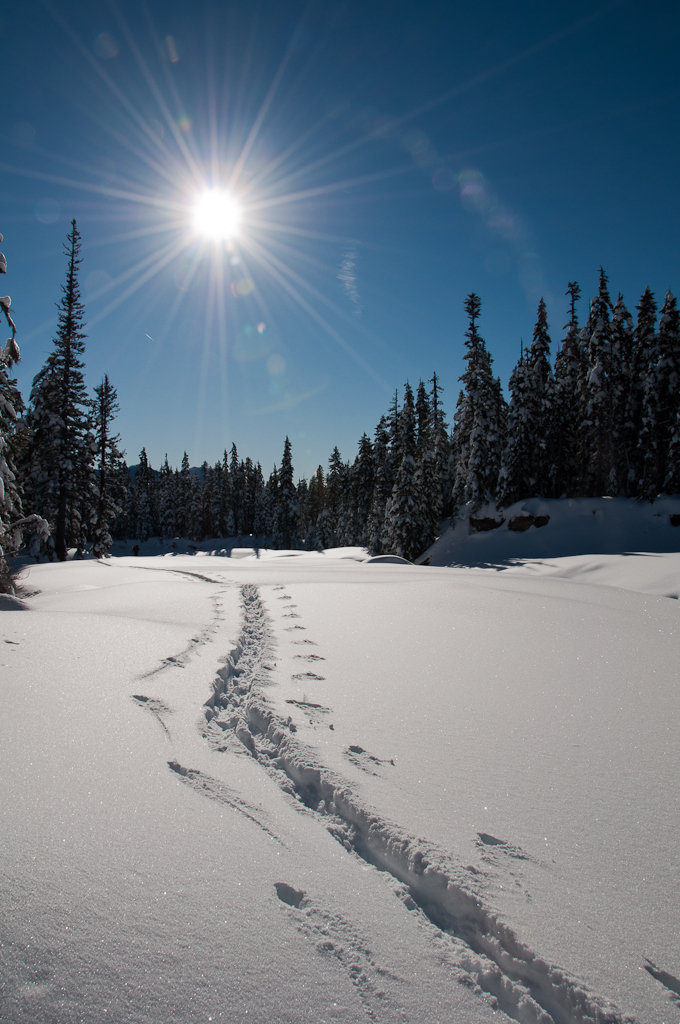
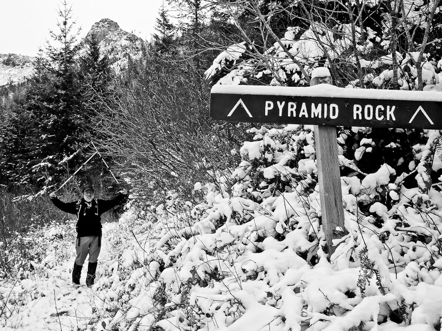
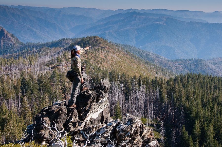
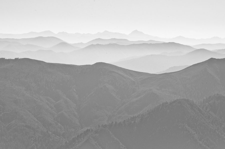
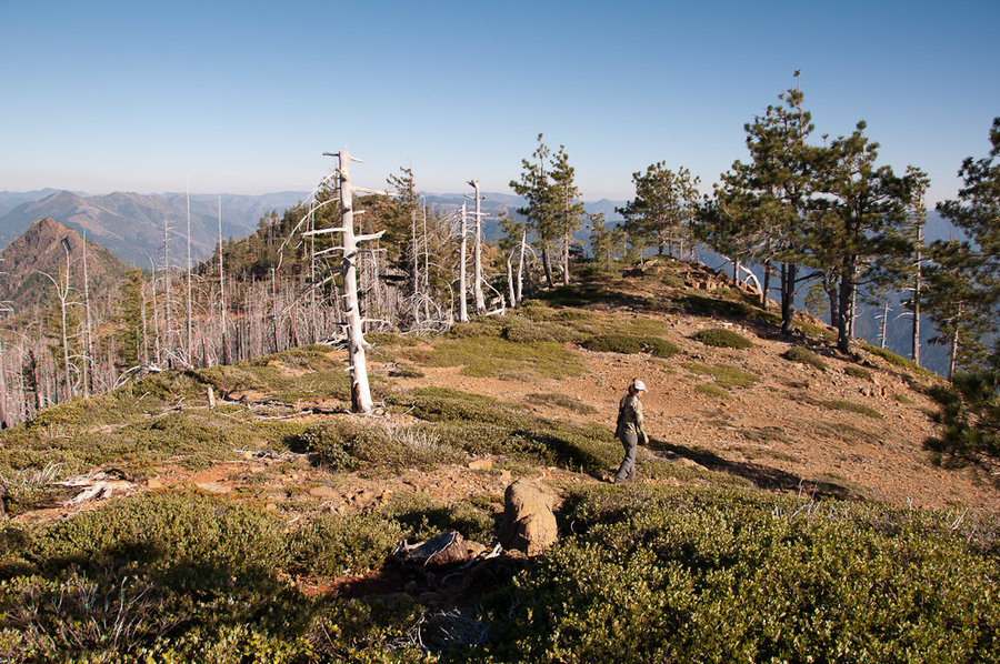
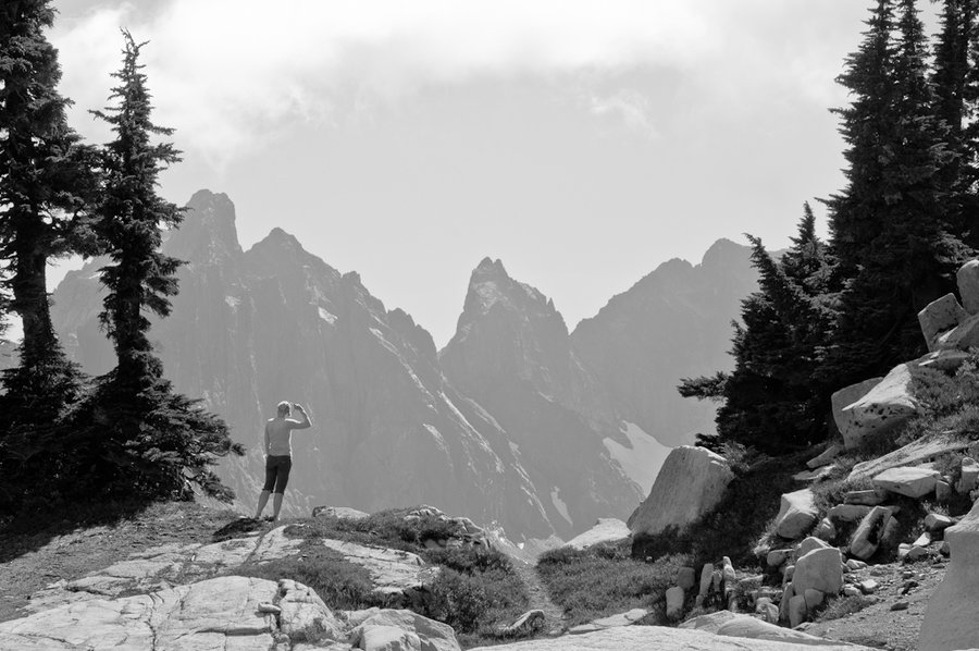
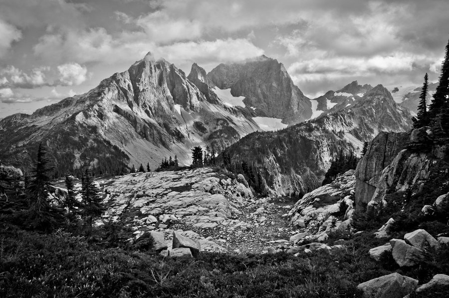
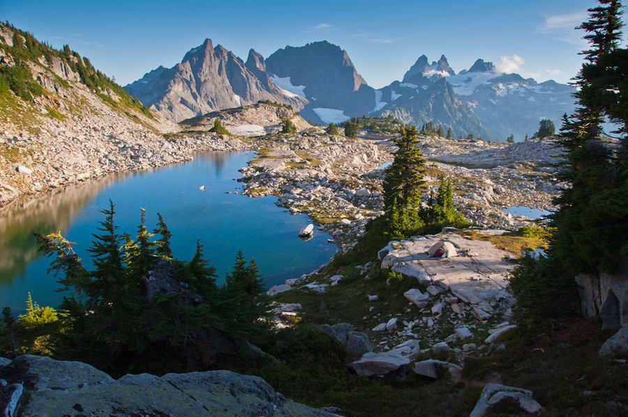
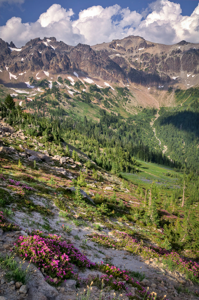
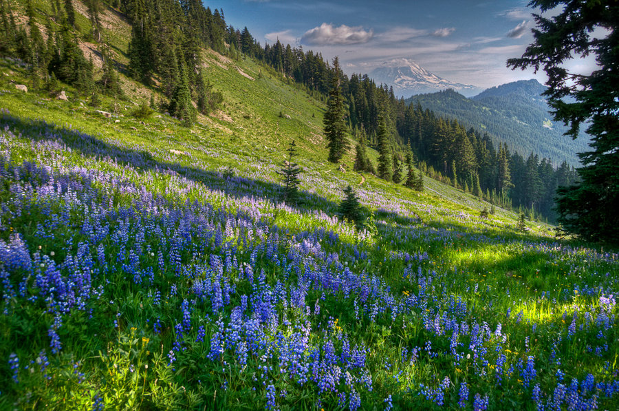
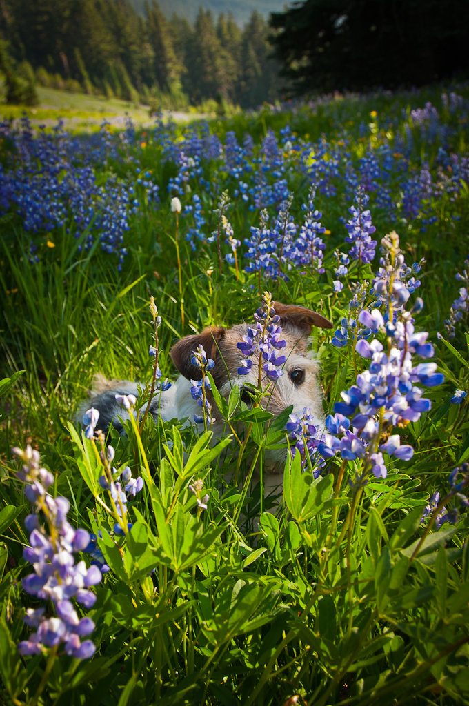
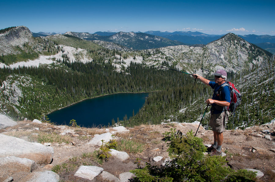
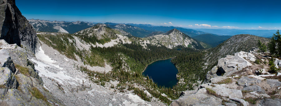
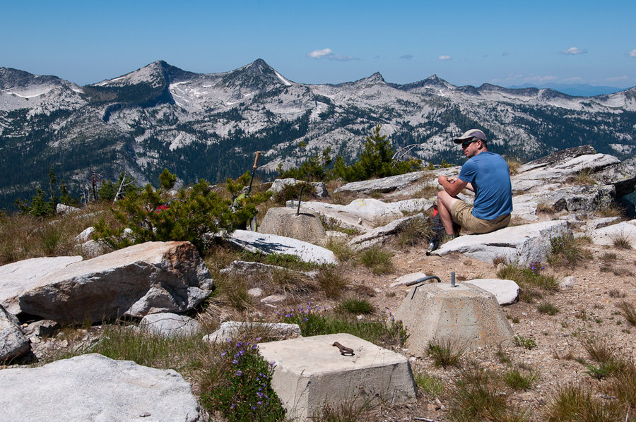
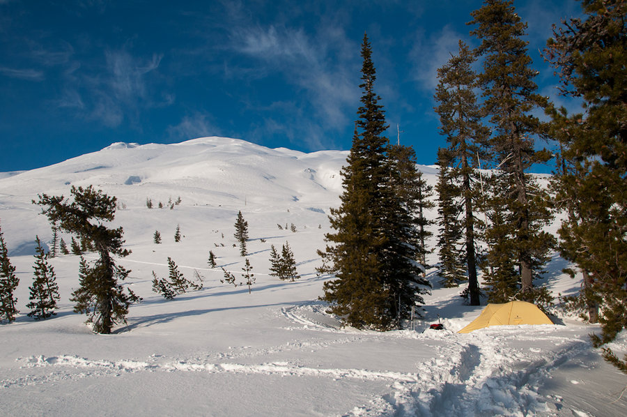
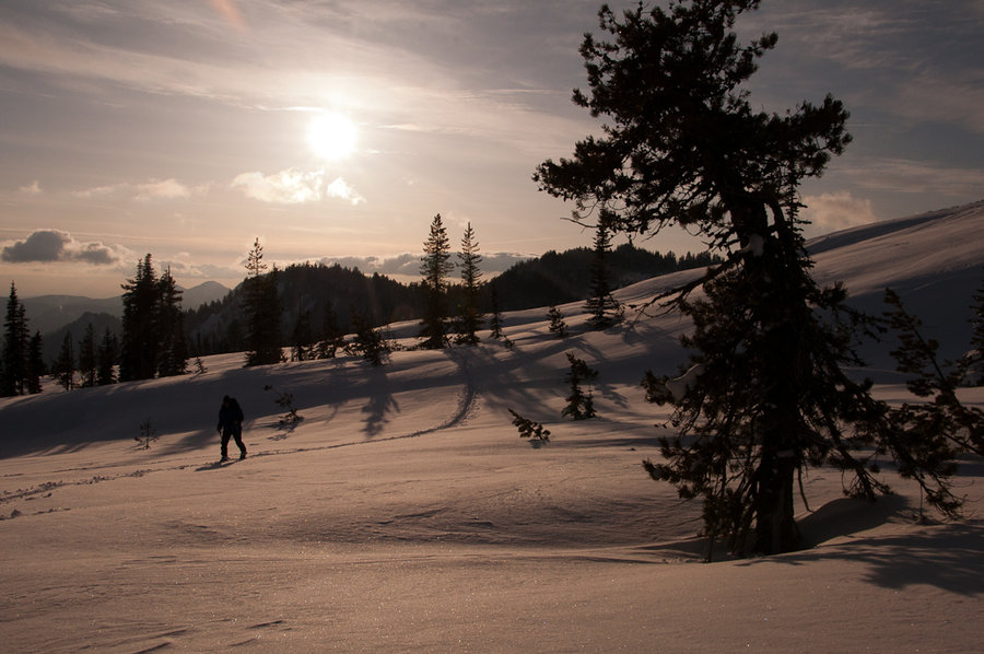
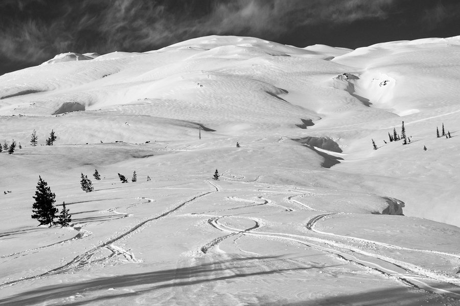
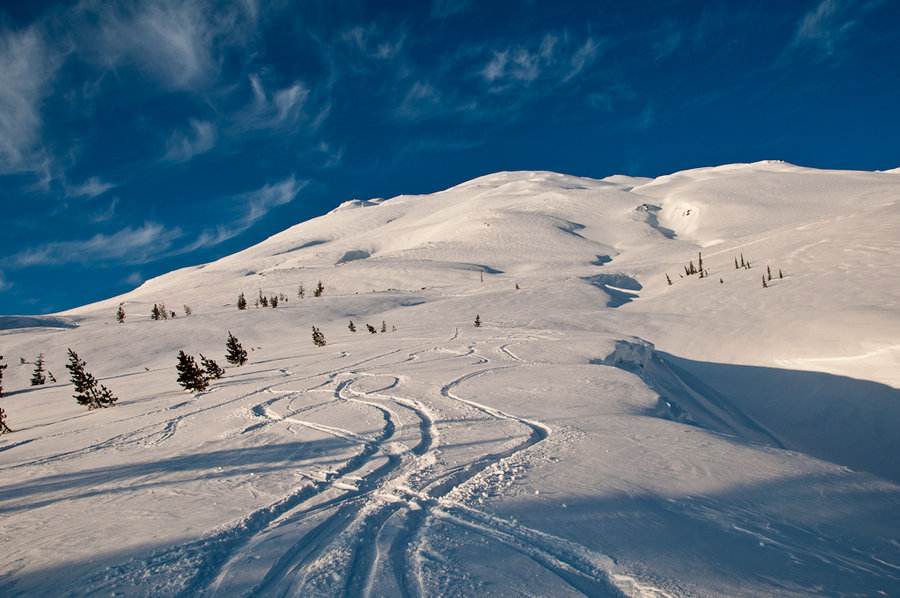
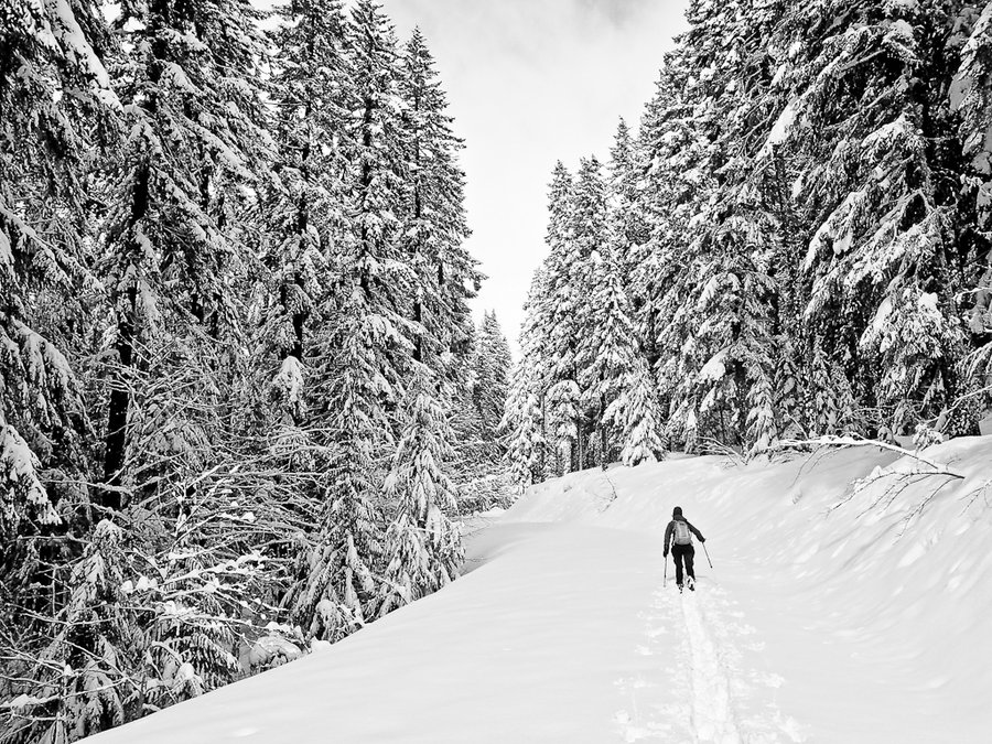
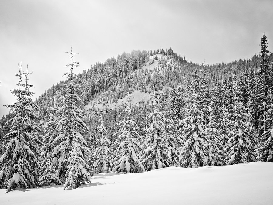
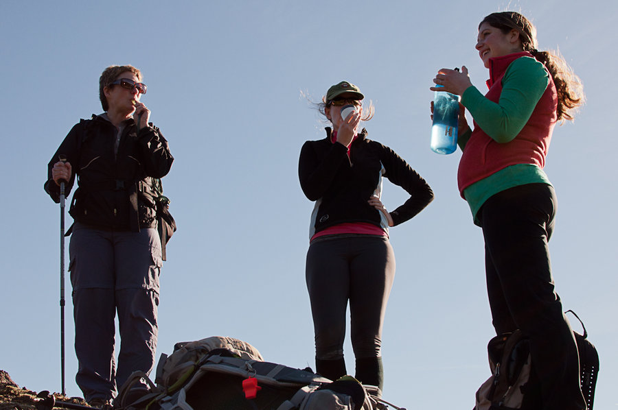
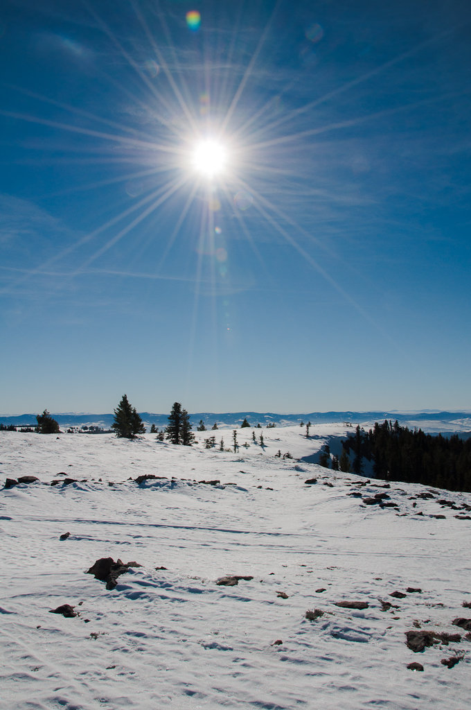
2013 Trips


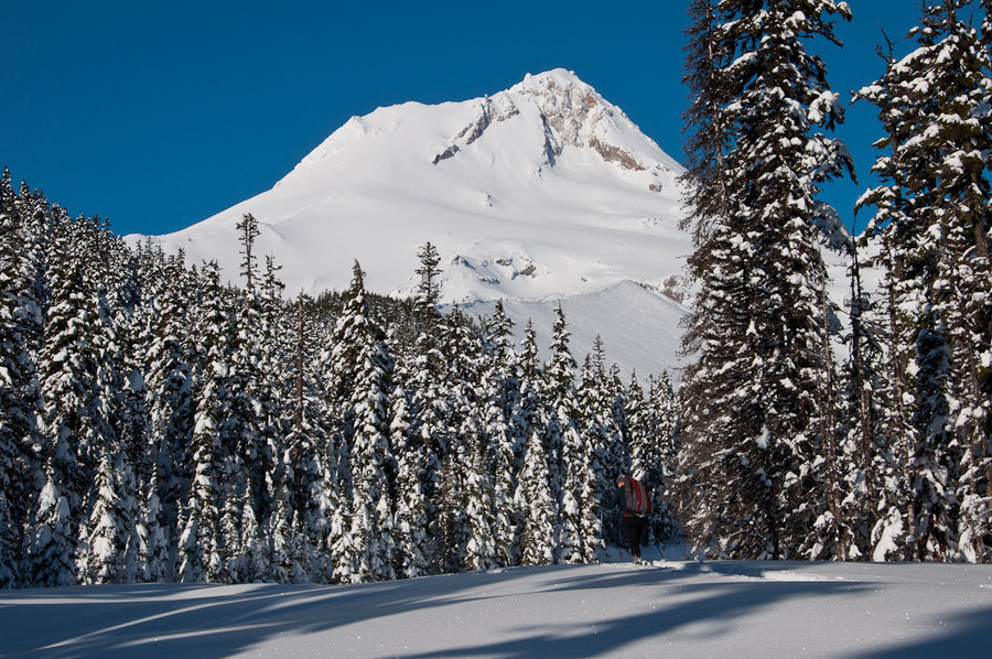
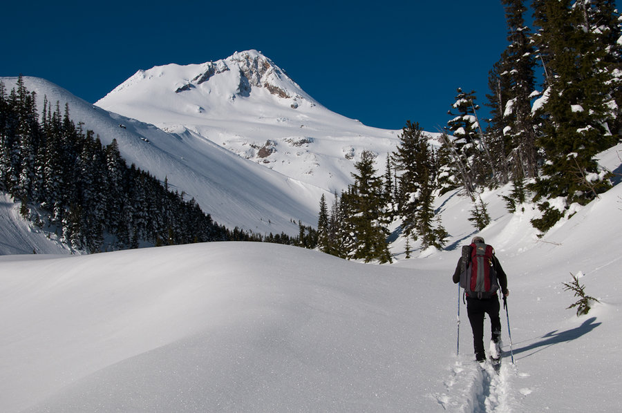
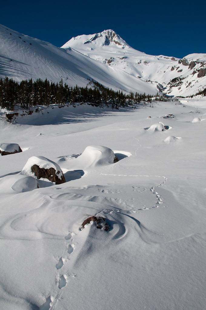
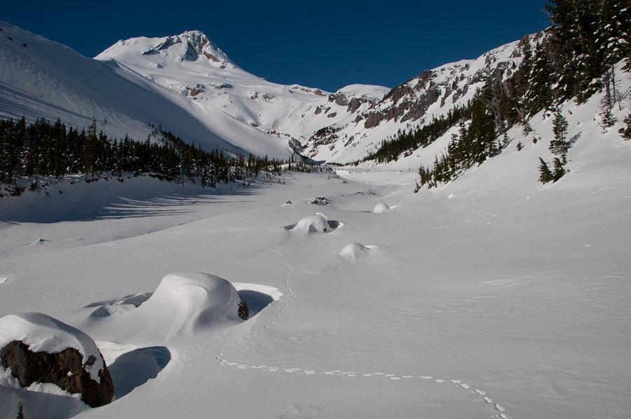
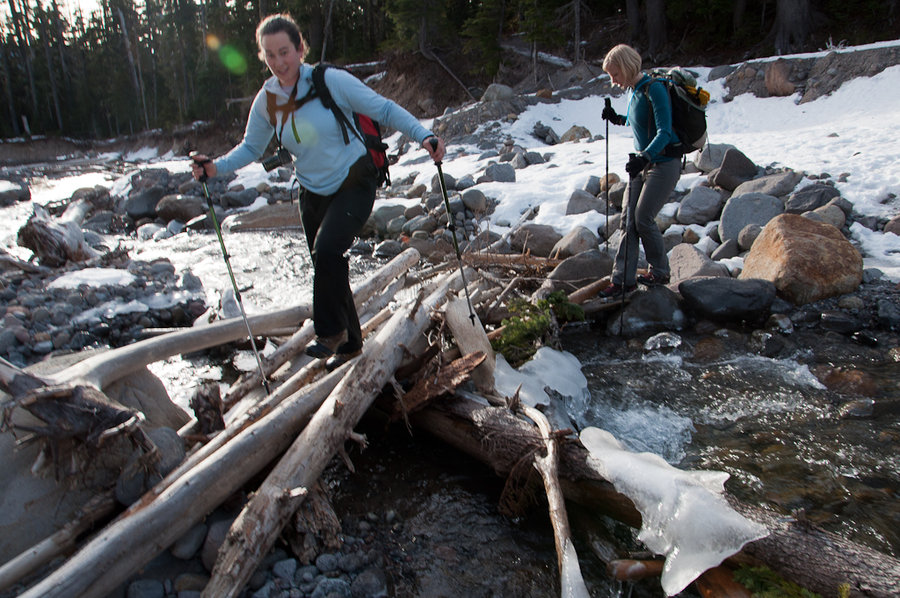
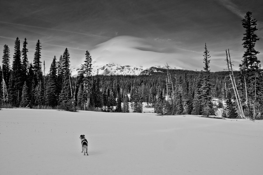
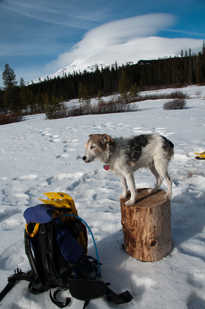
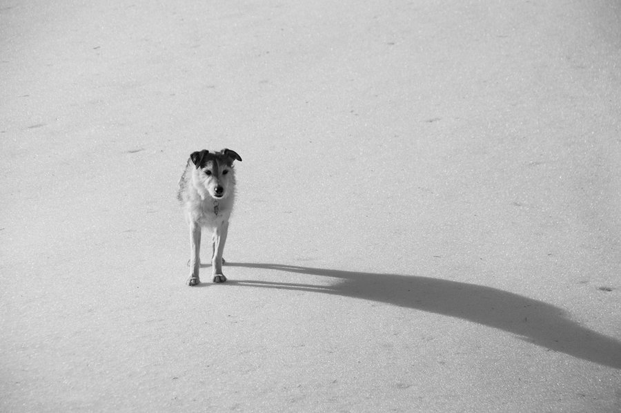
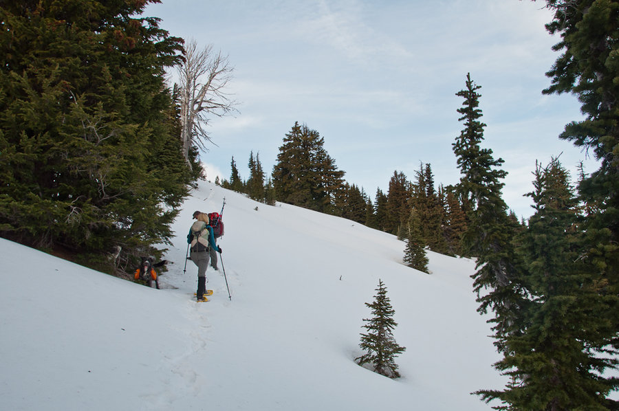
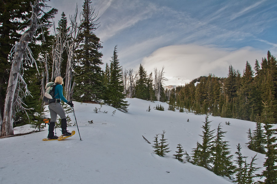
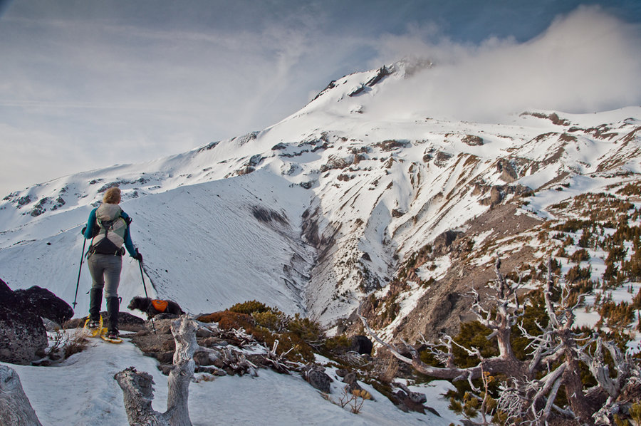
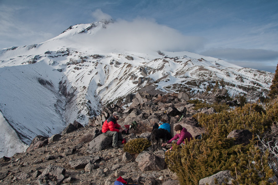
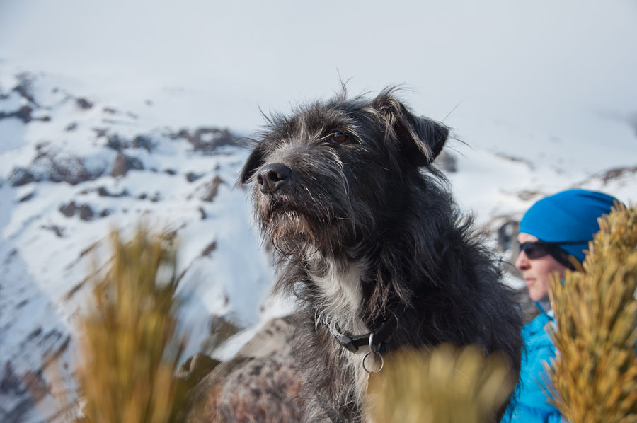
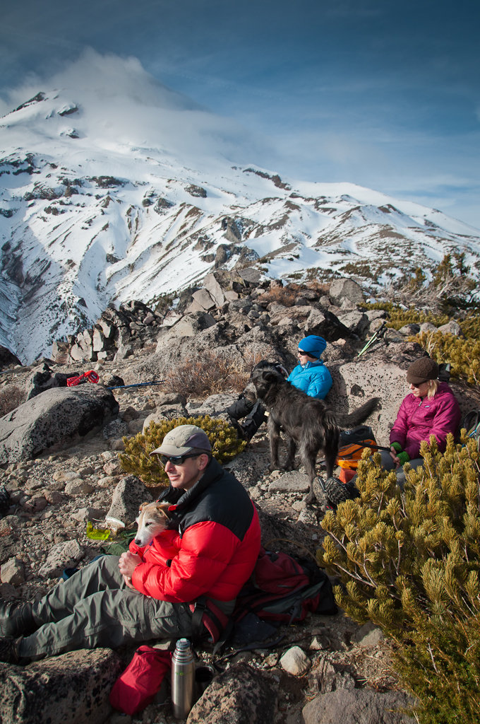
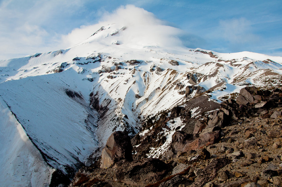
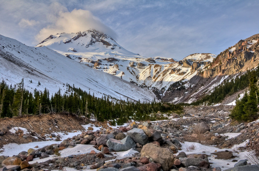
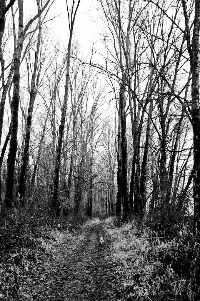
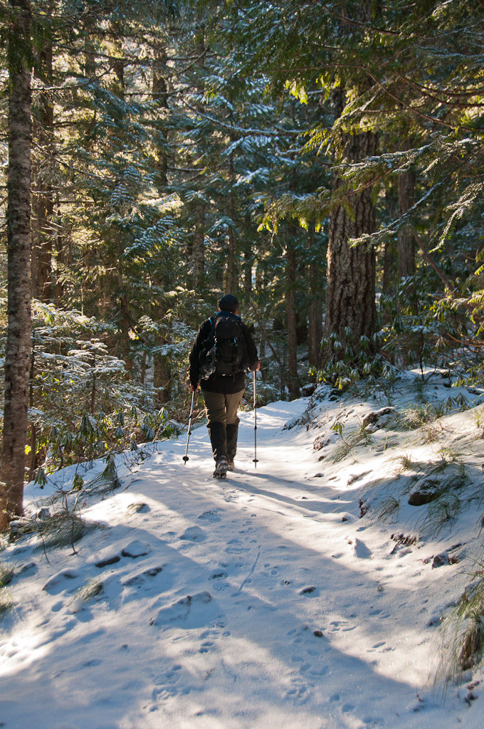
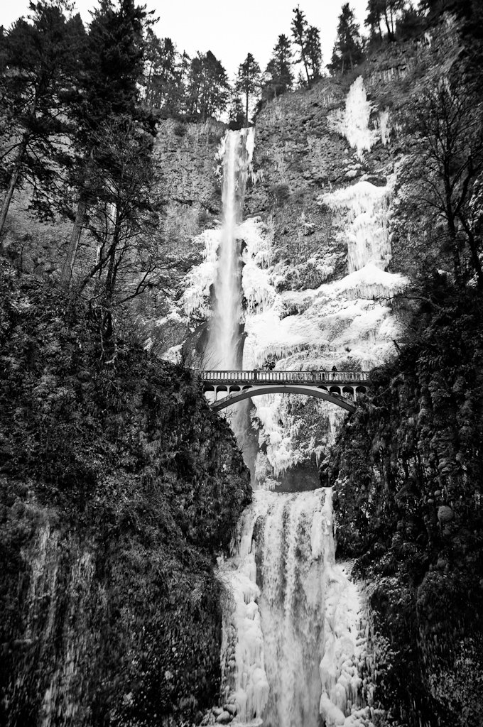
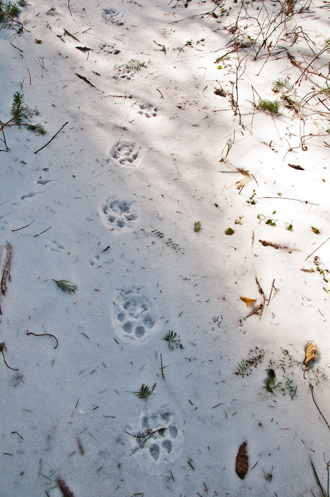
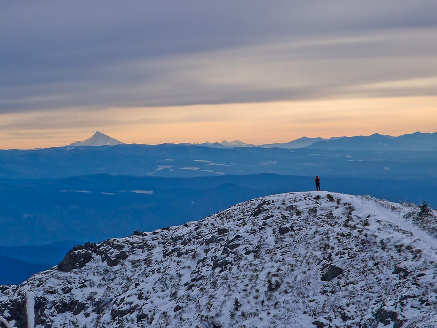
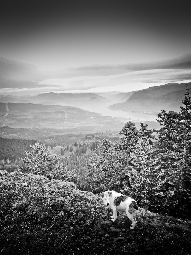
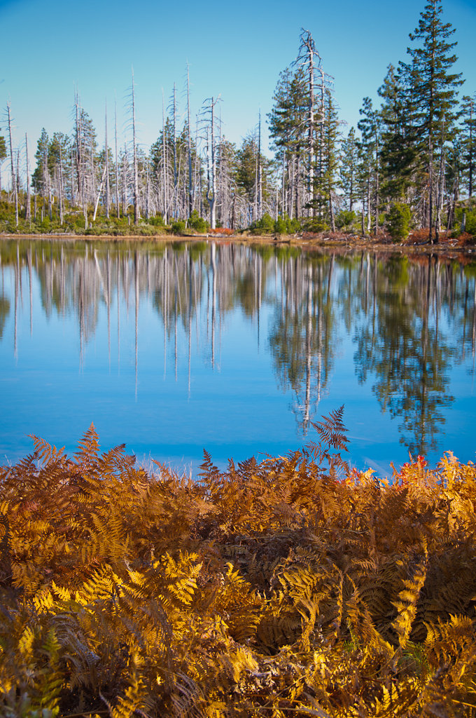
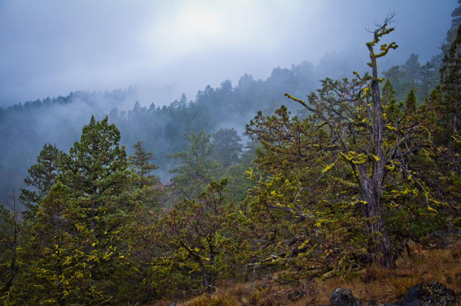
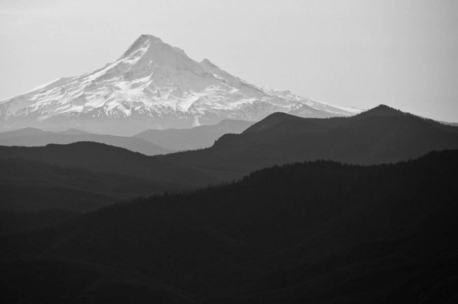
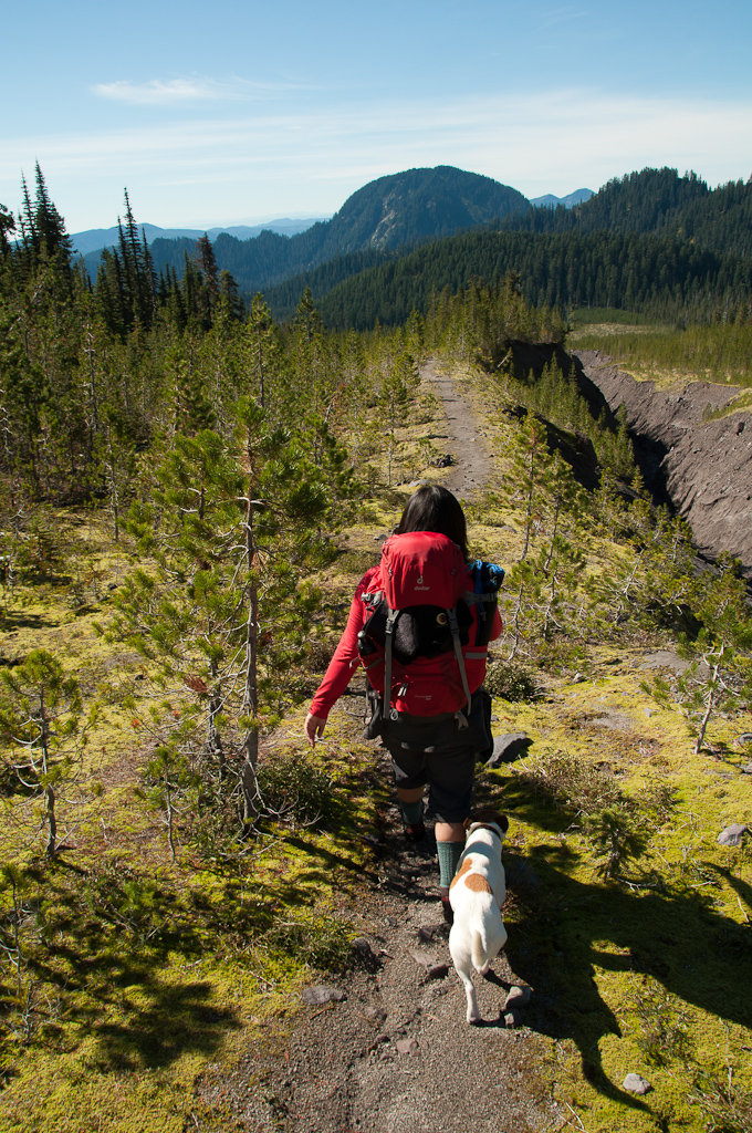
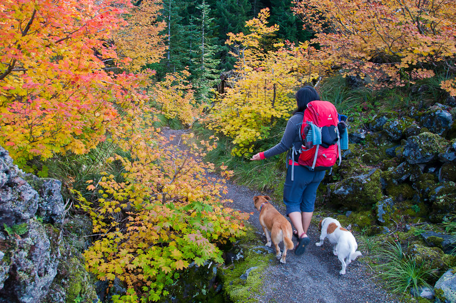
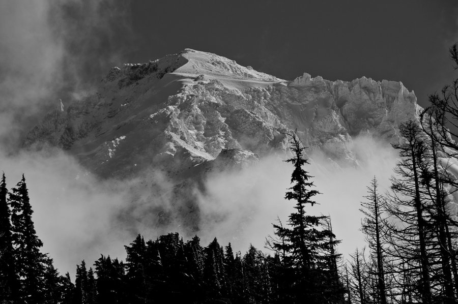
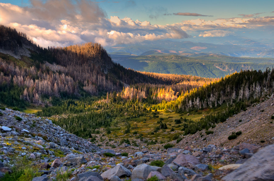
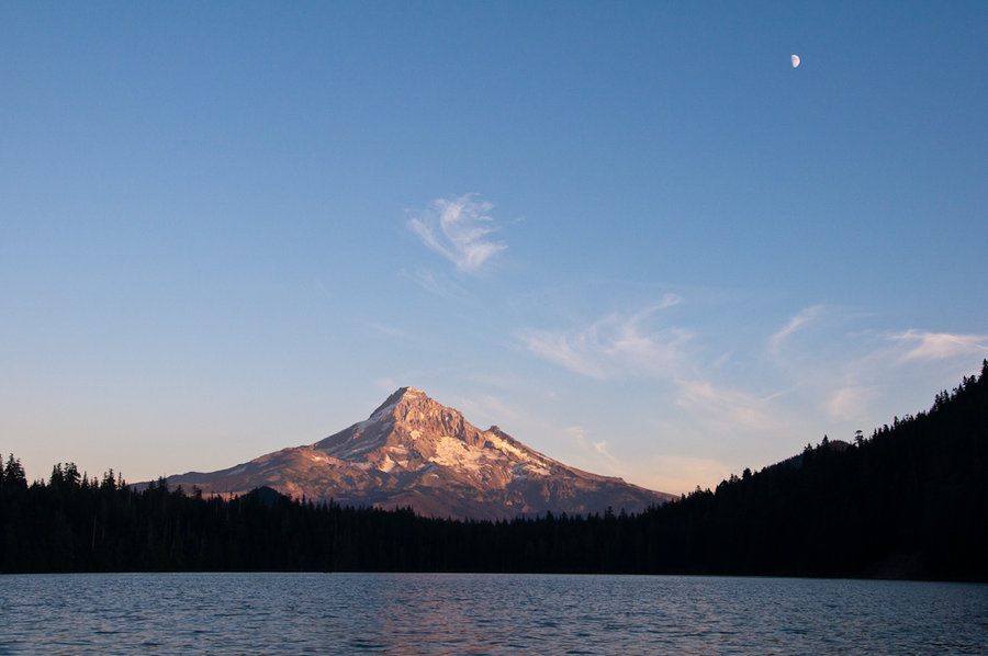
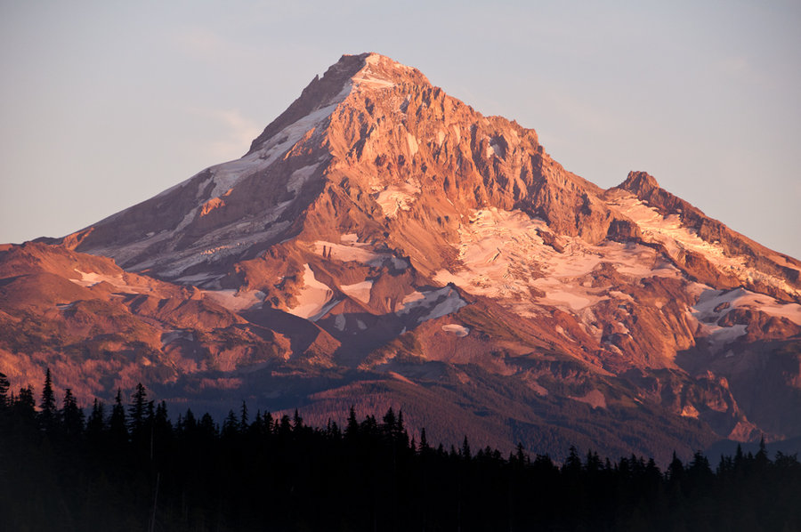
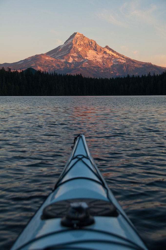
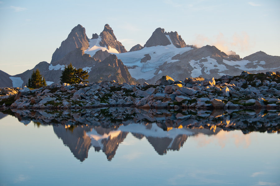
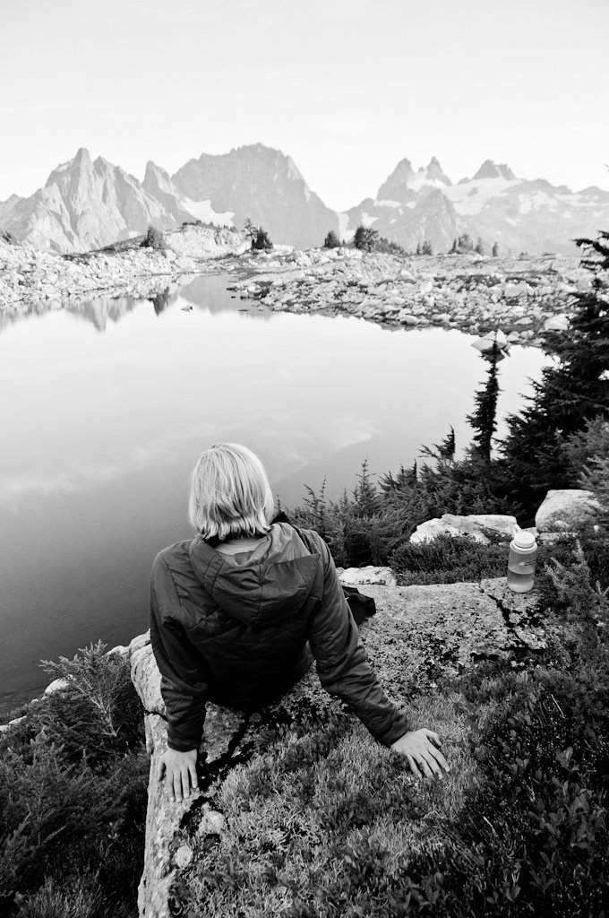
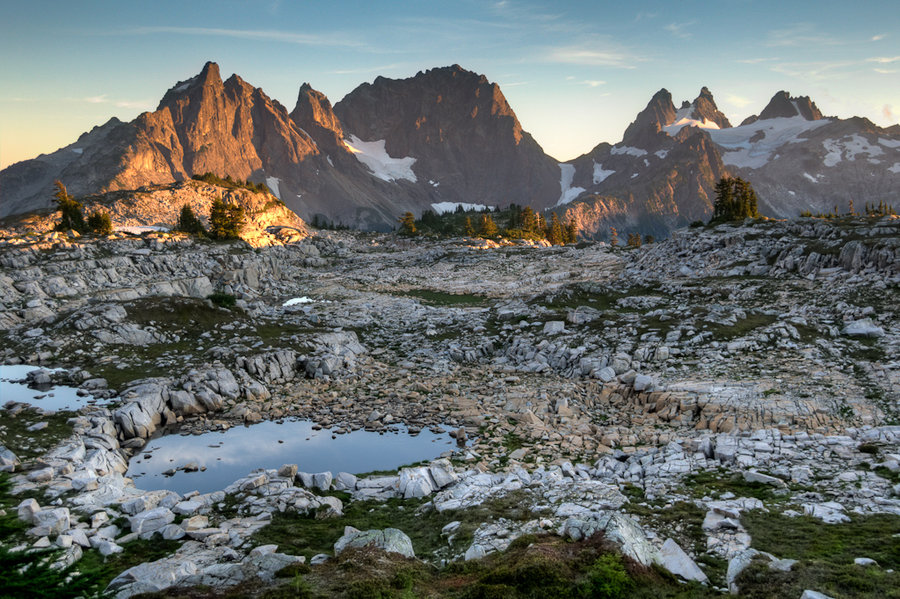
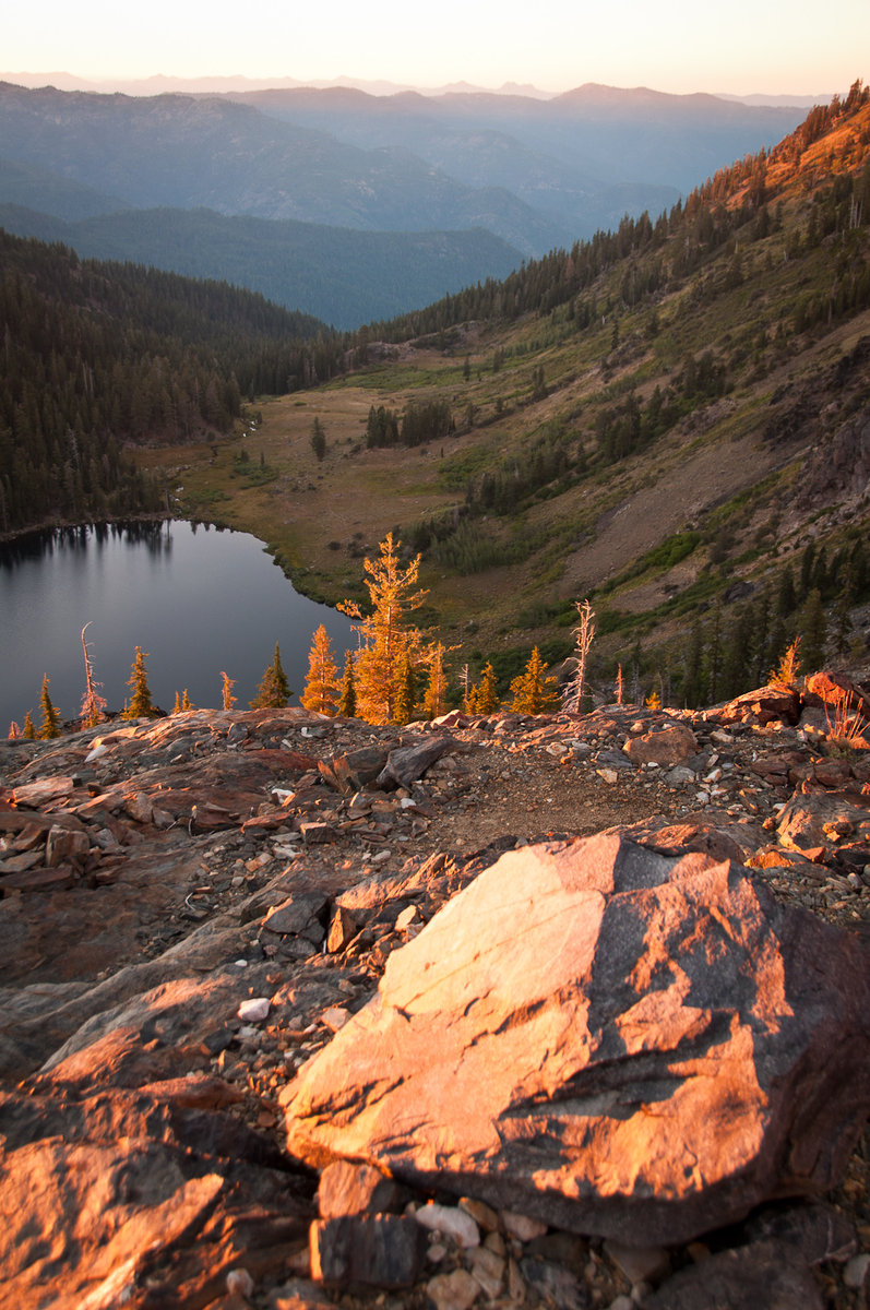
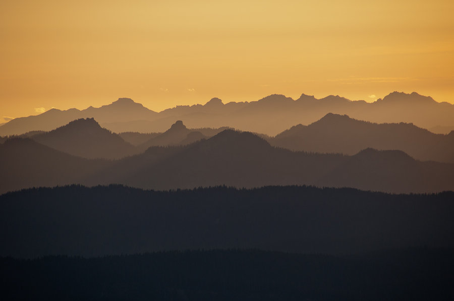
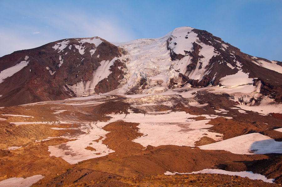
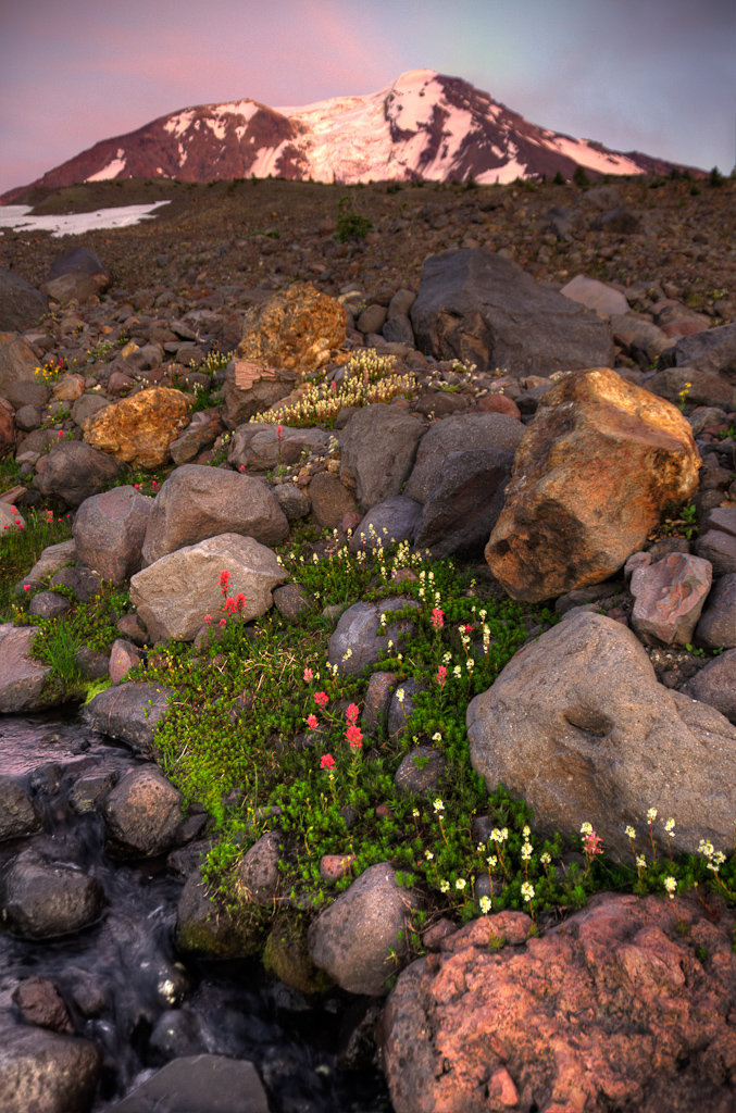
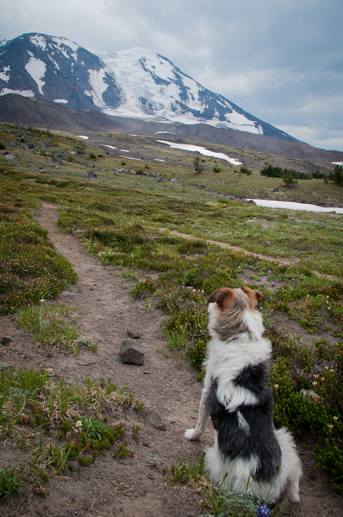
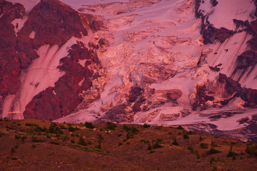
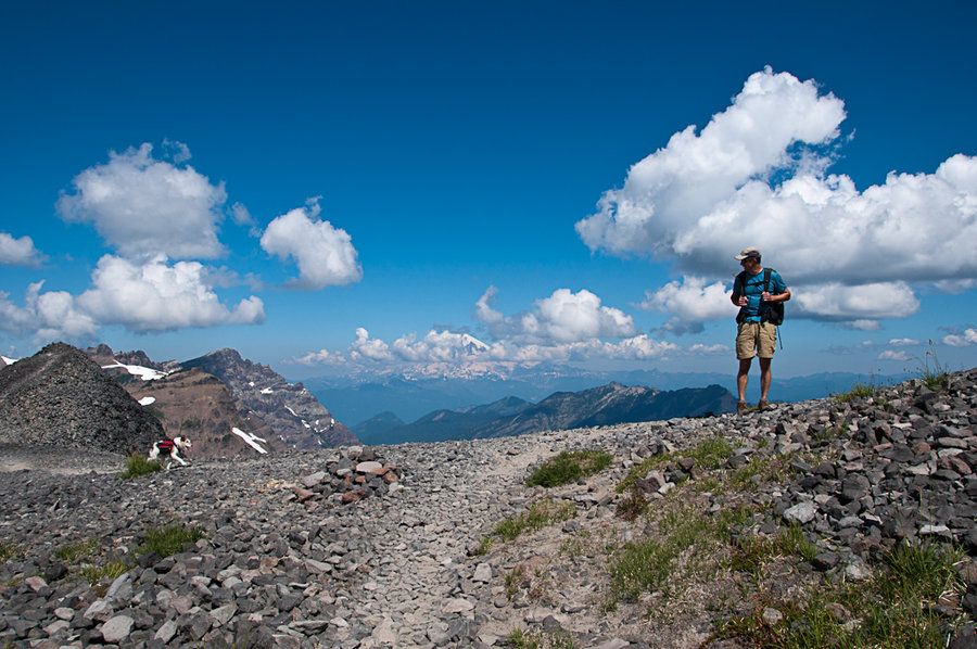
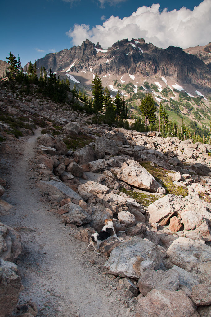
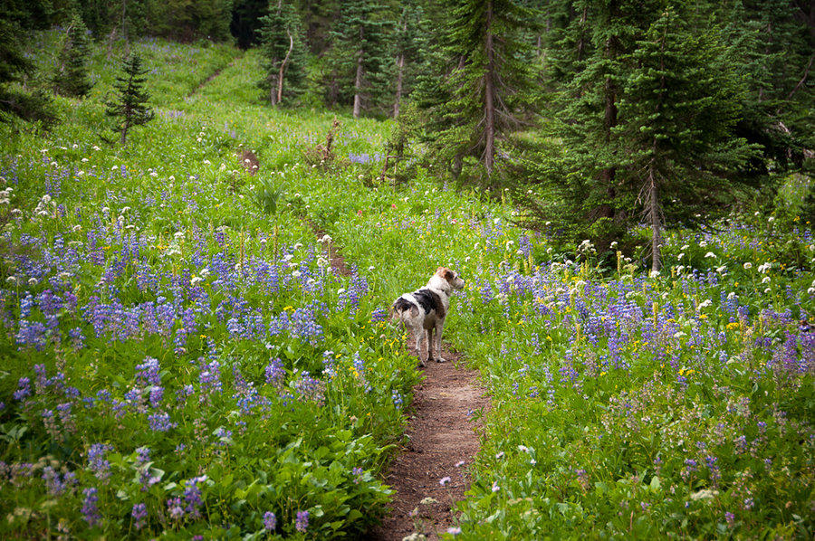
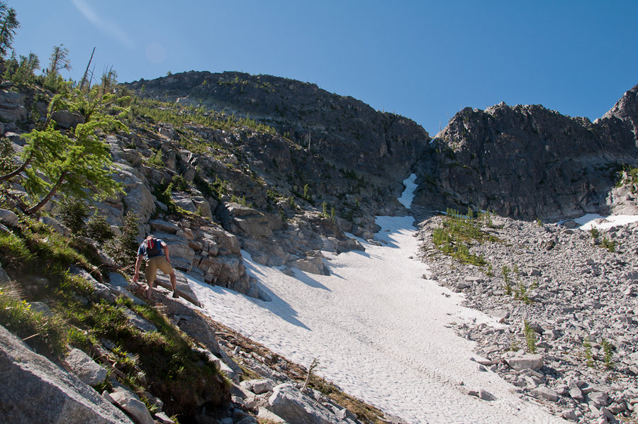
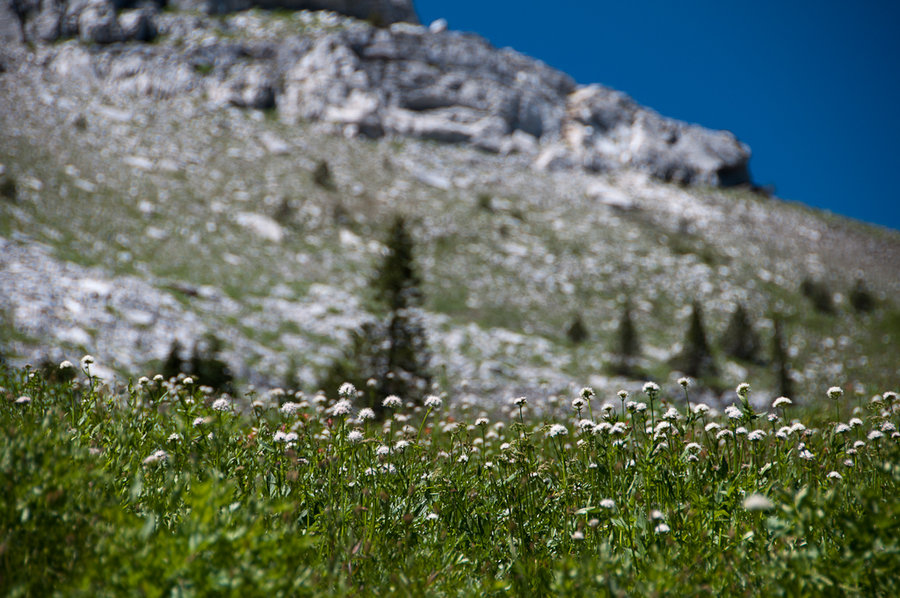
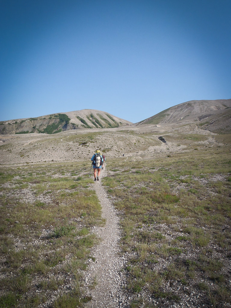
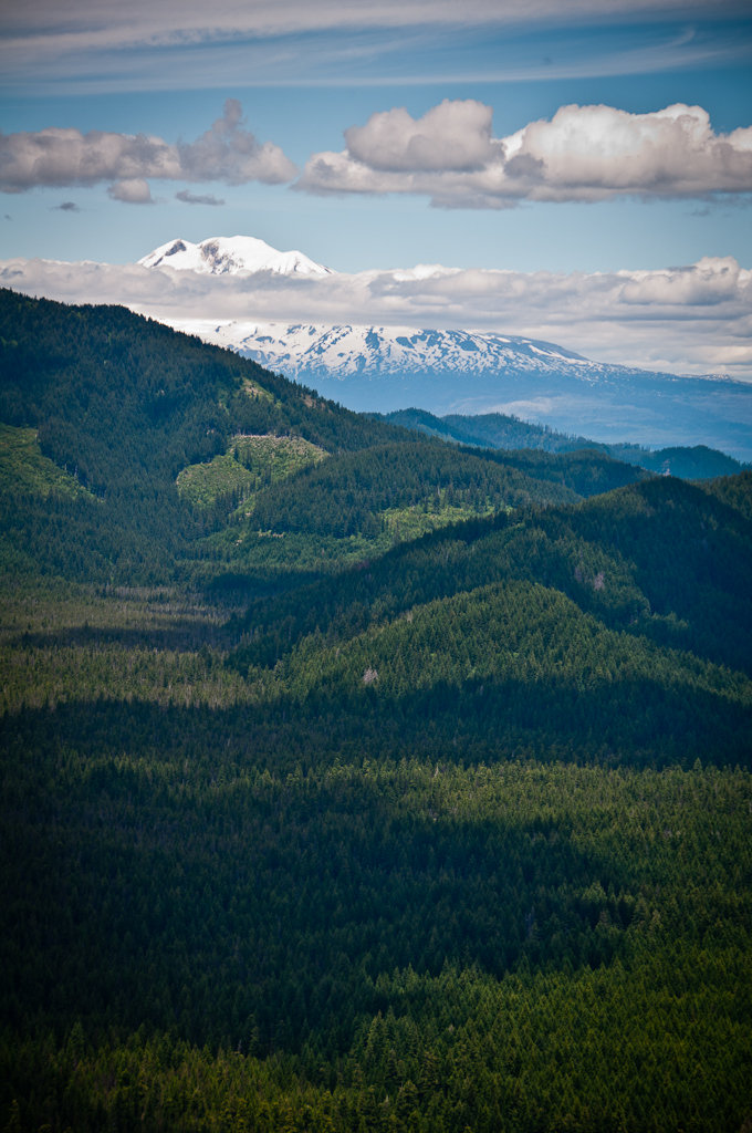
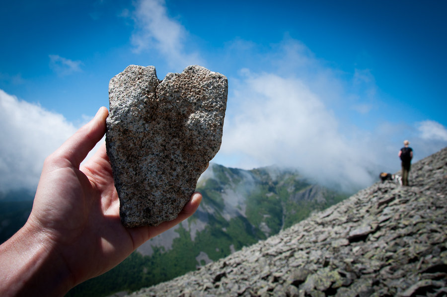
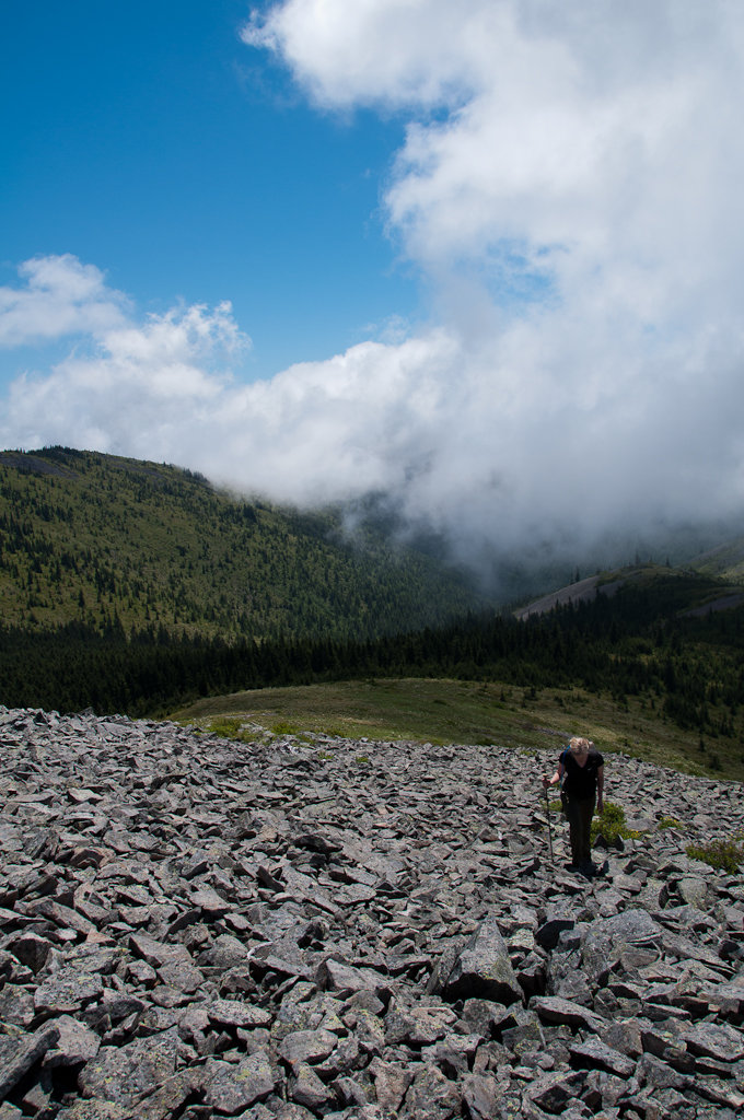
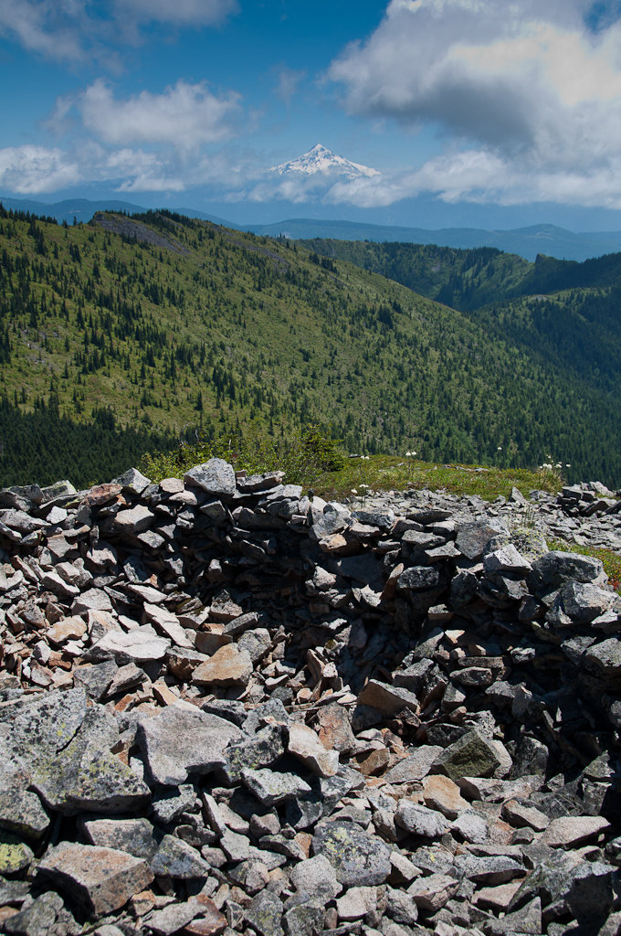
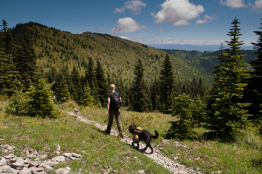
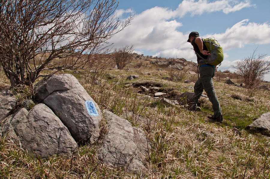
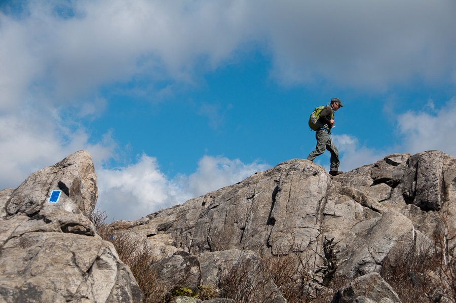
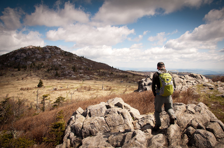
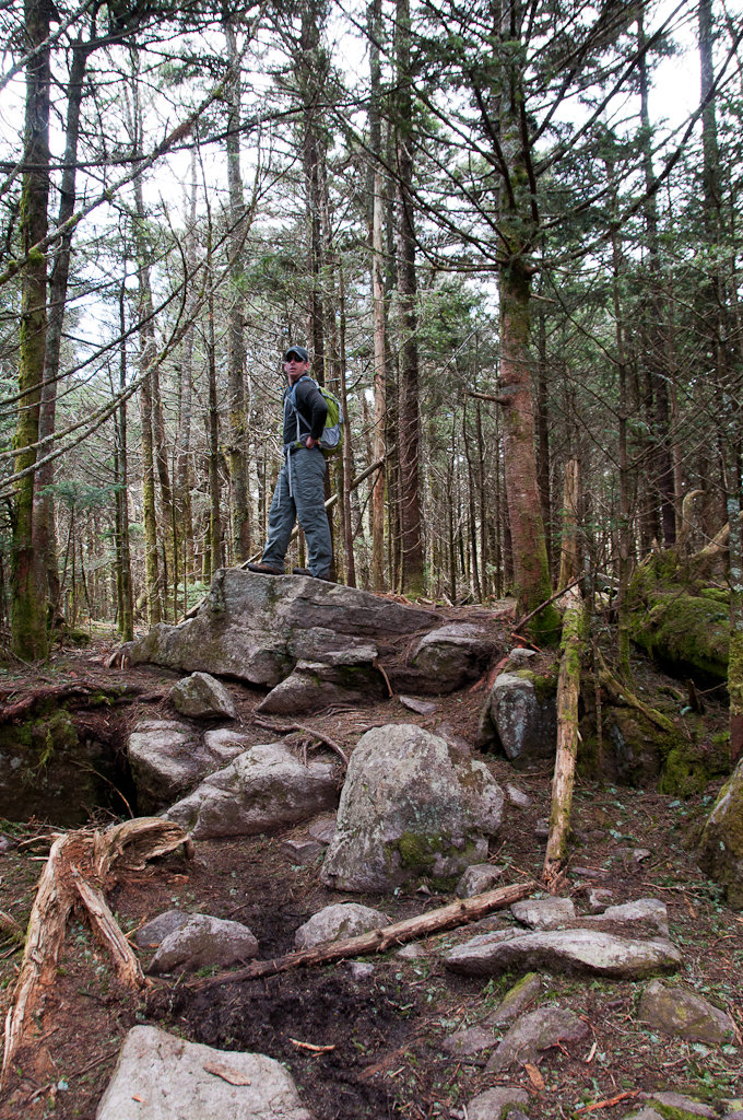
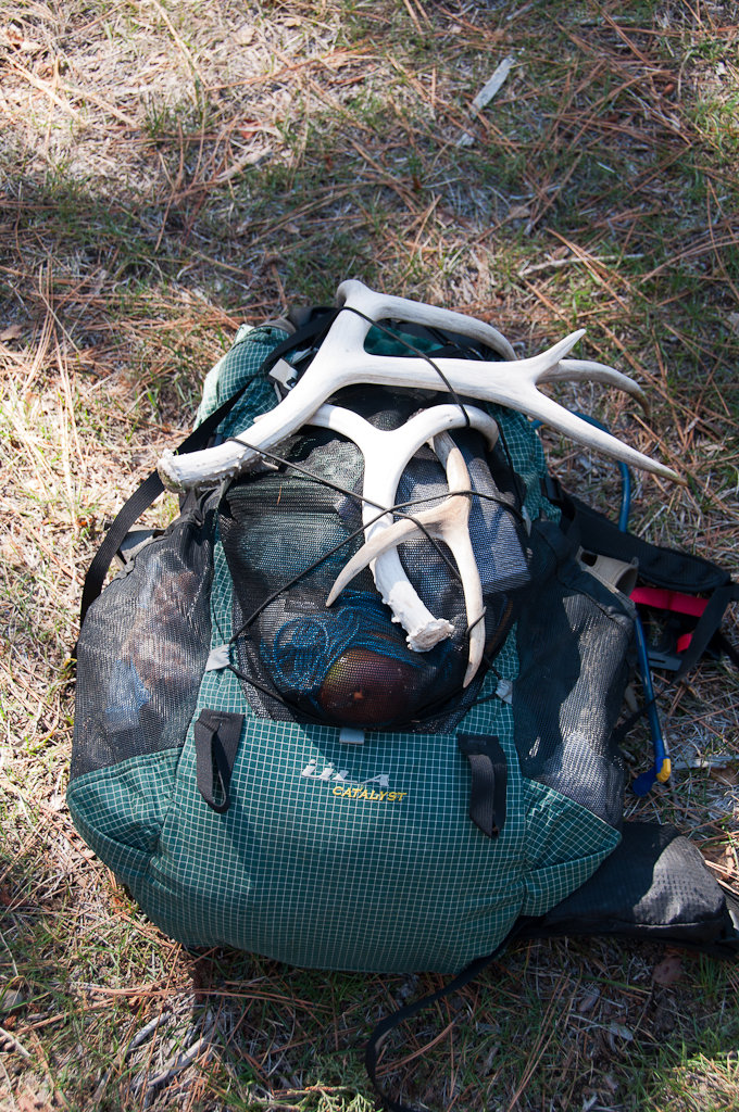
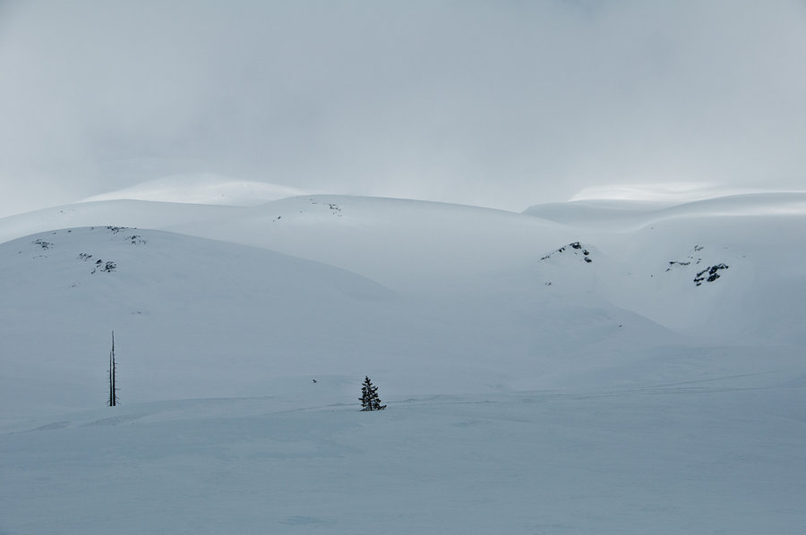
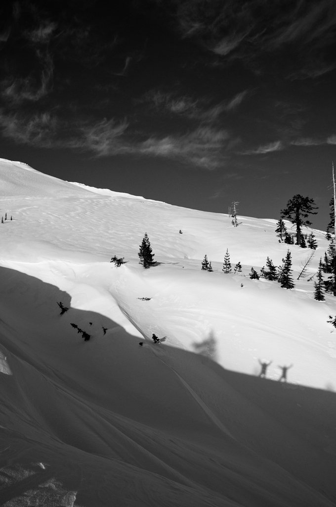
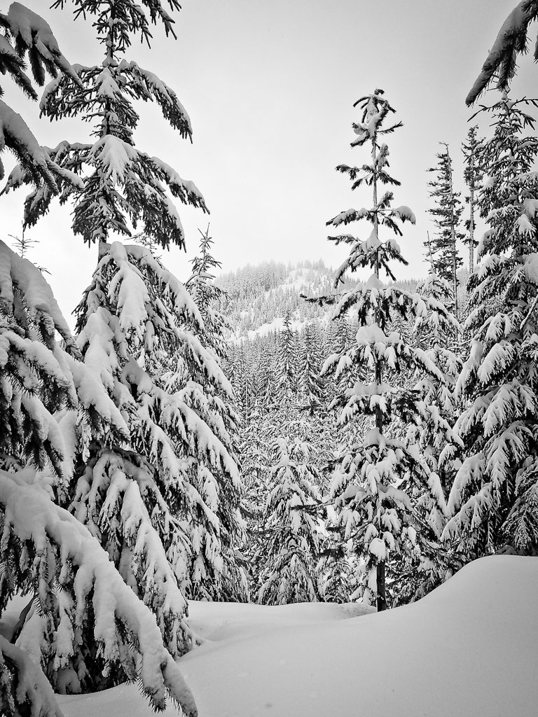
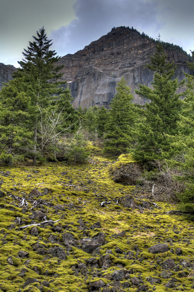
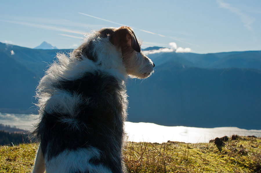
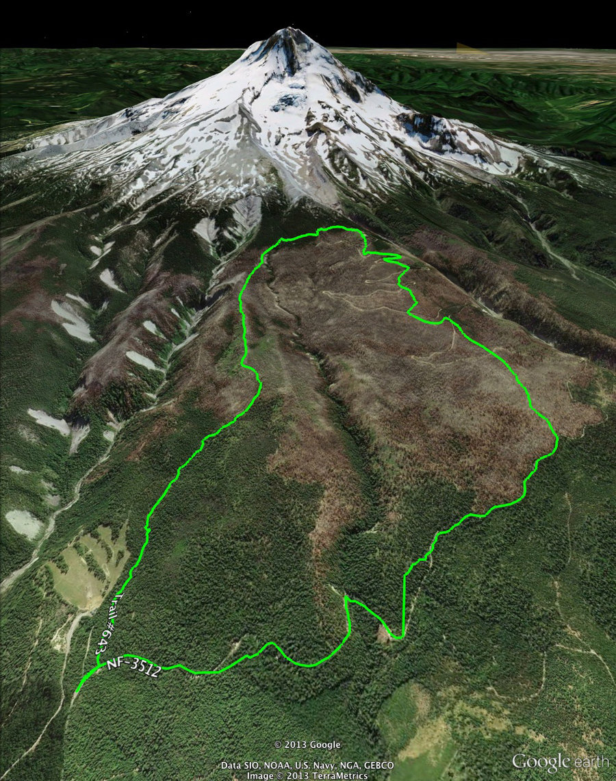
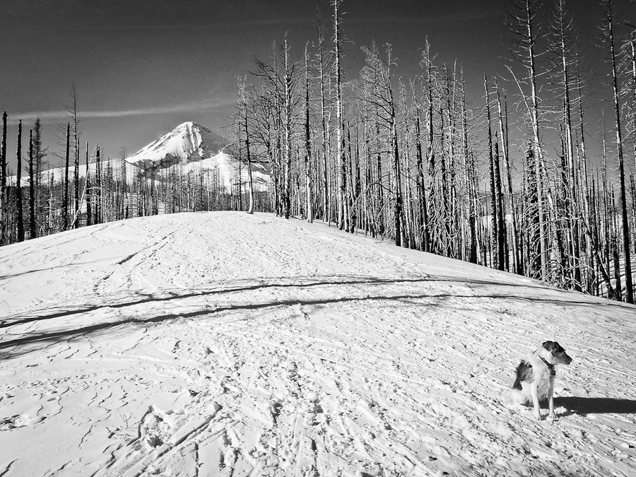
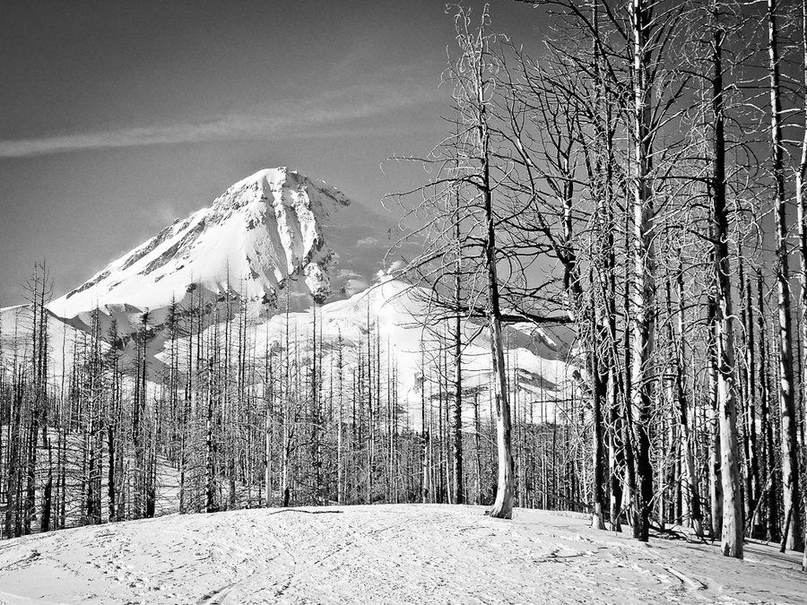
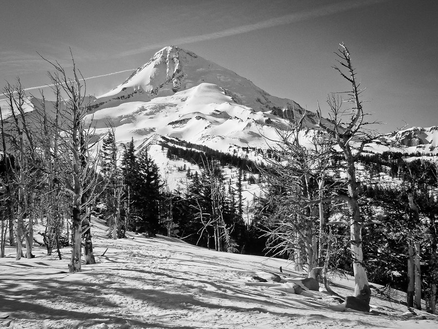
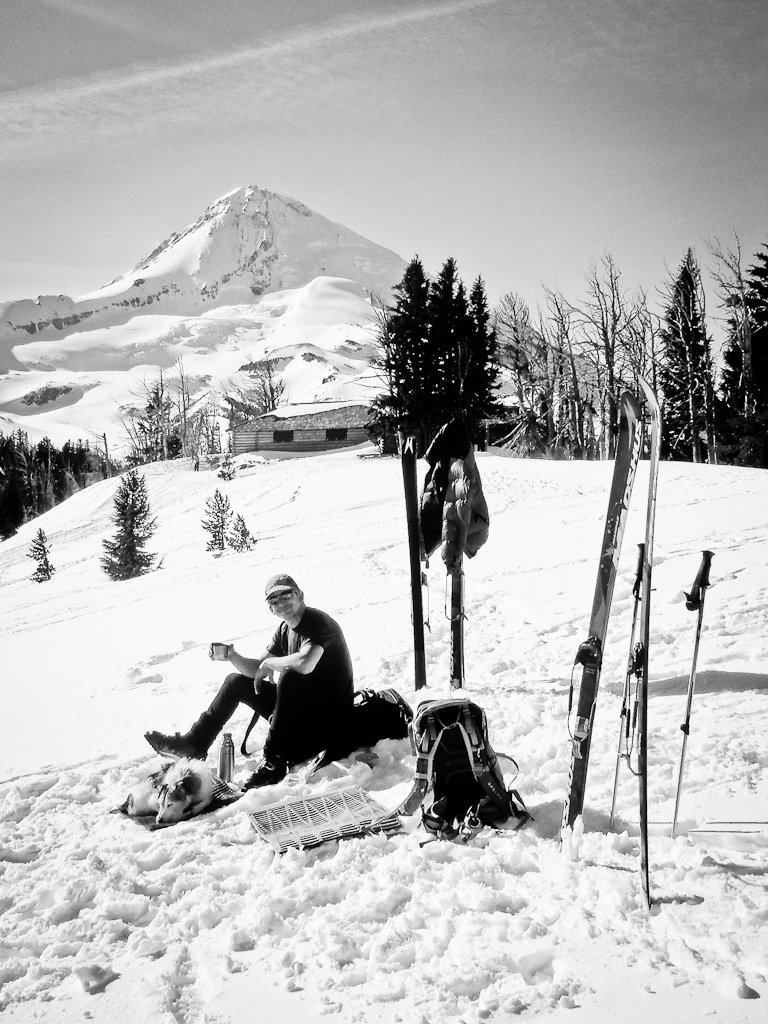
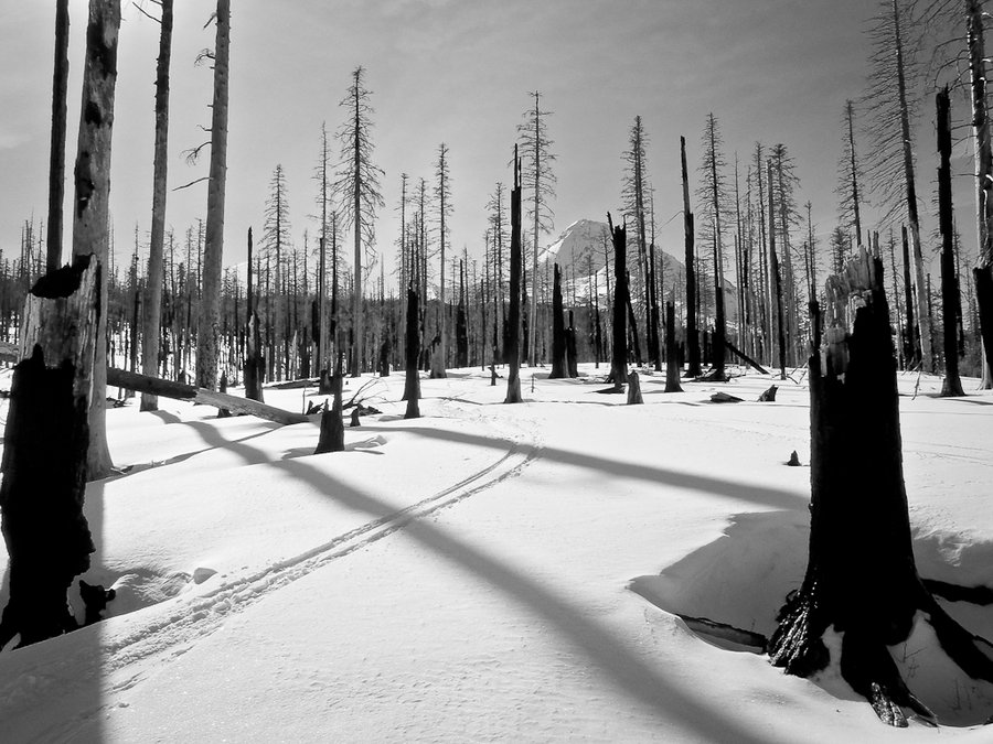
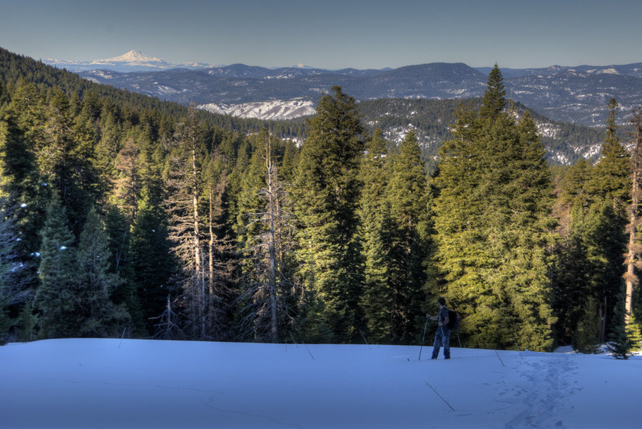
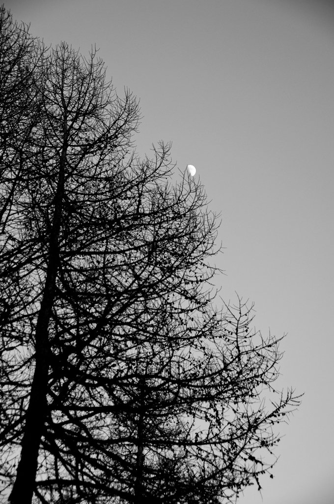
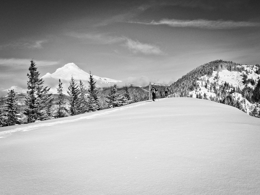
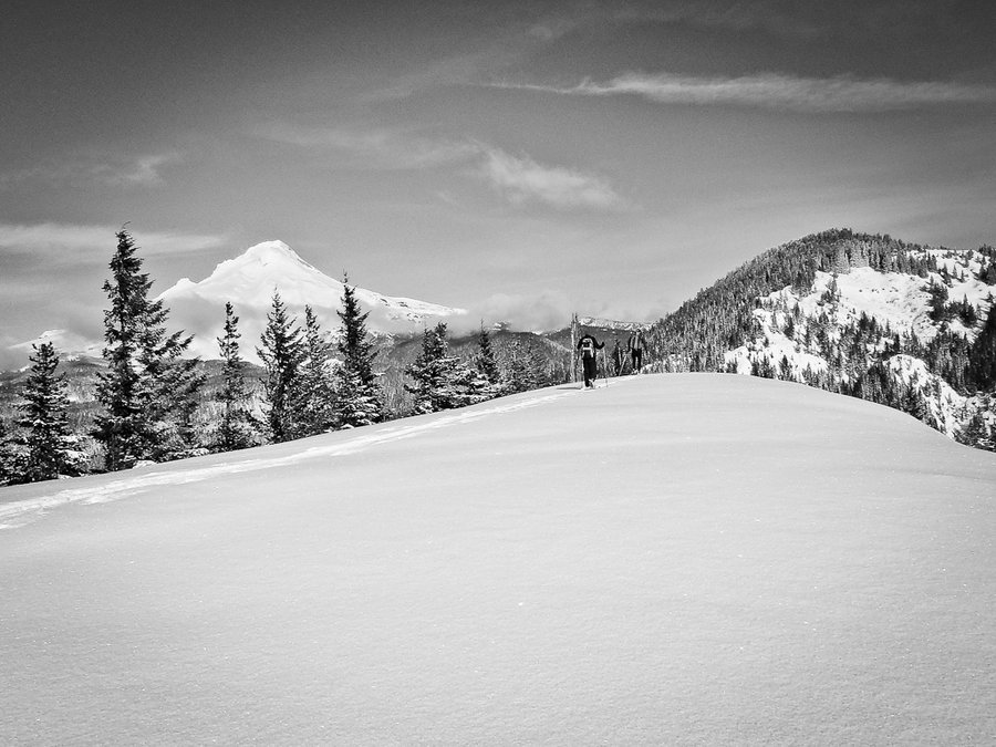
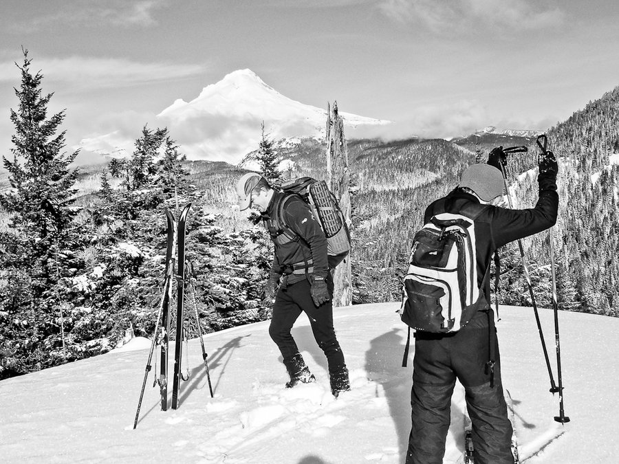
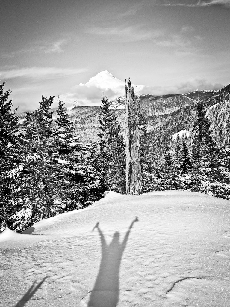
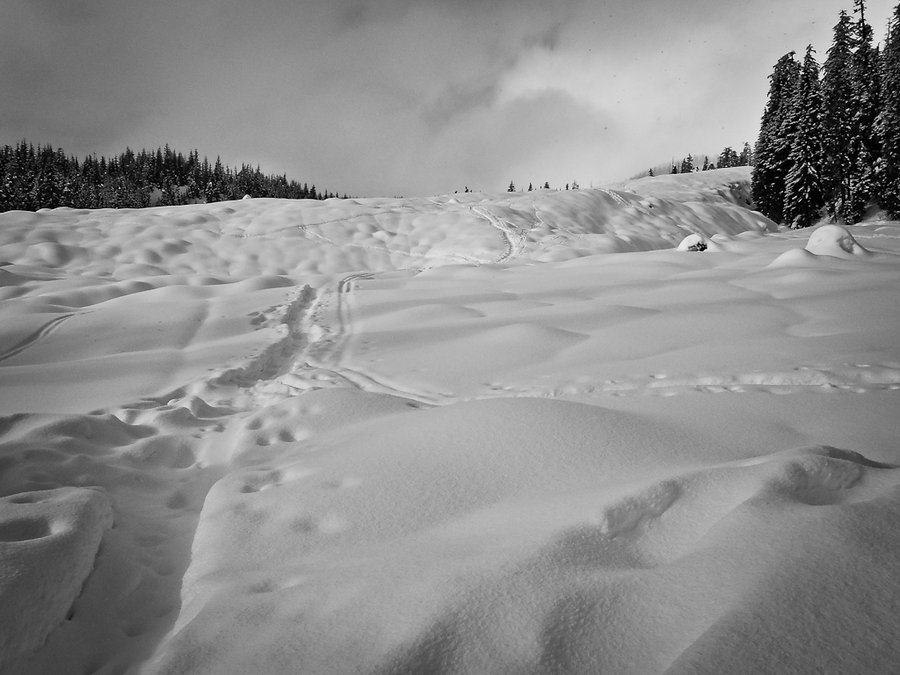
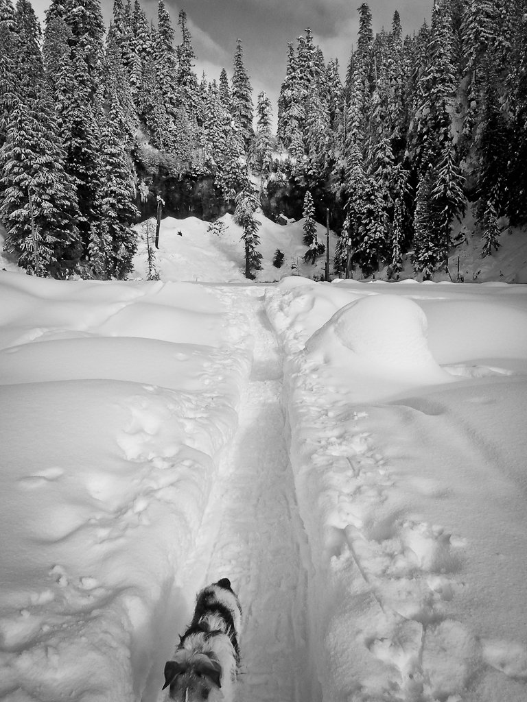
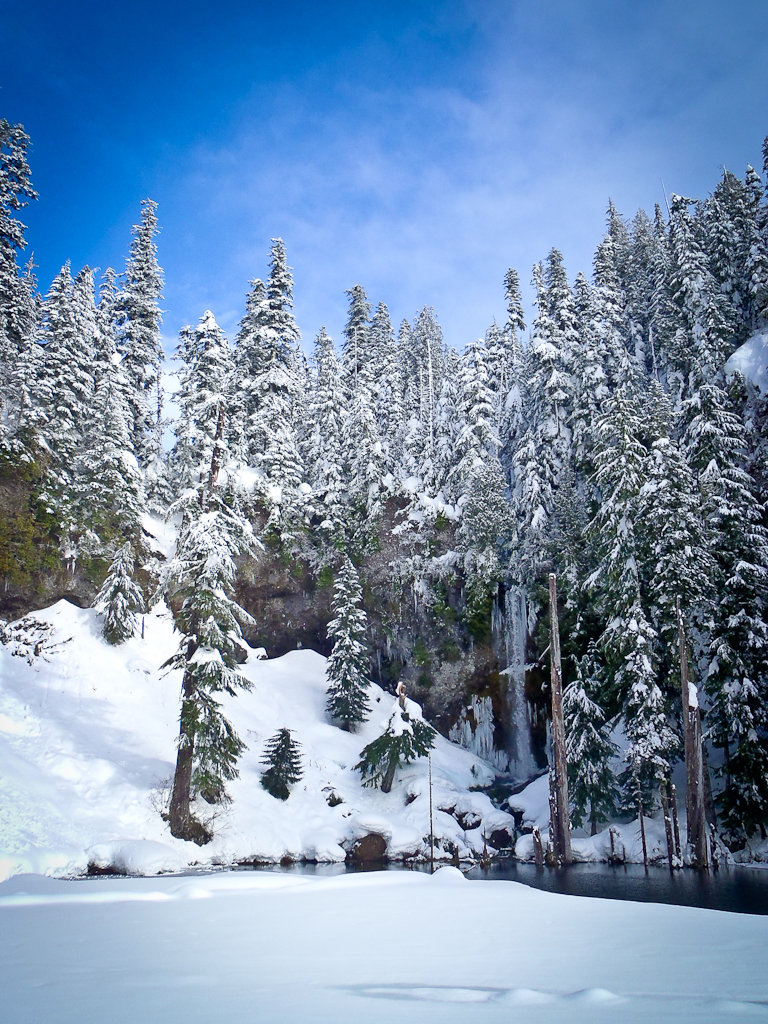
Elk Meadows - Lamberson Butte Loop
10 miles of hiking • 3000' elevation gain •
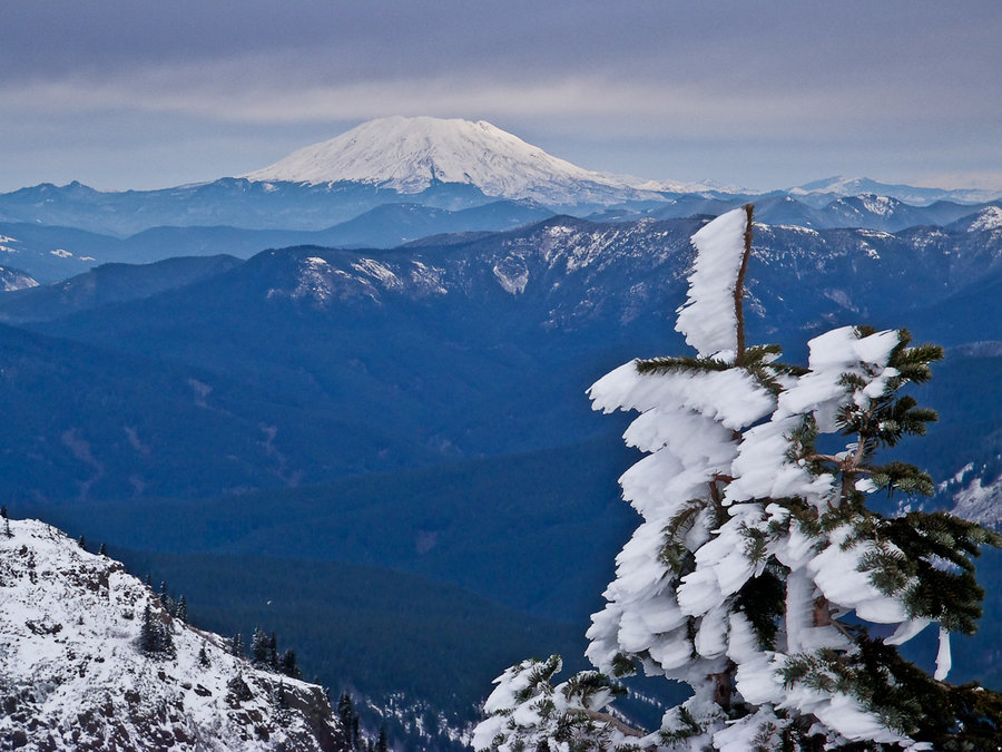
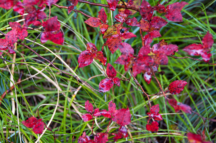
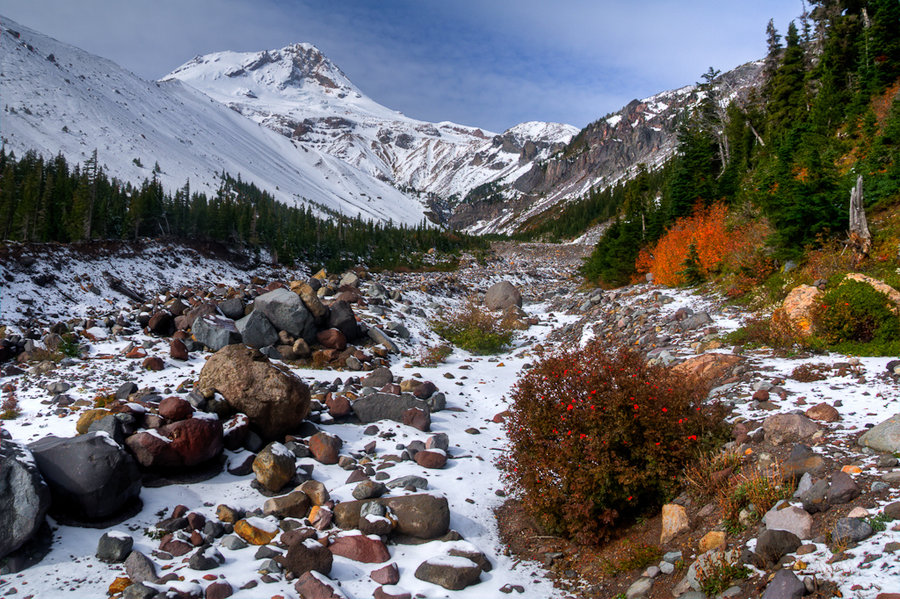
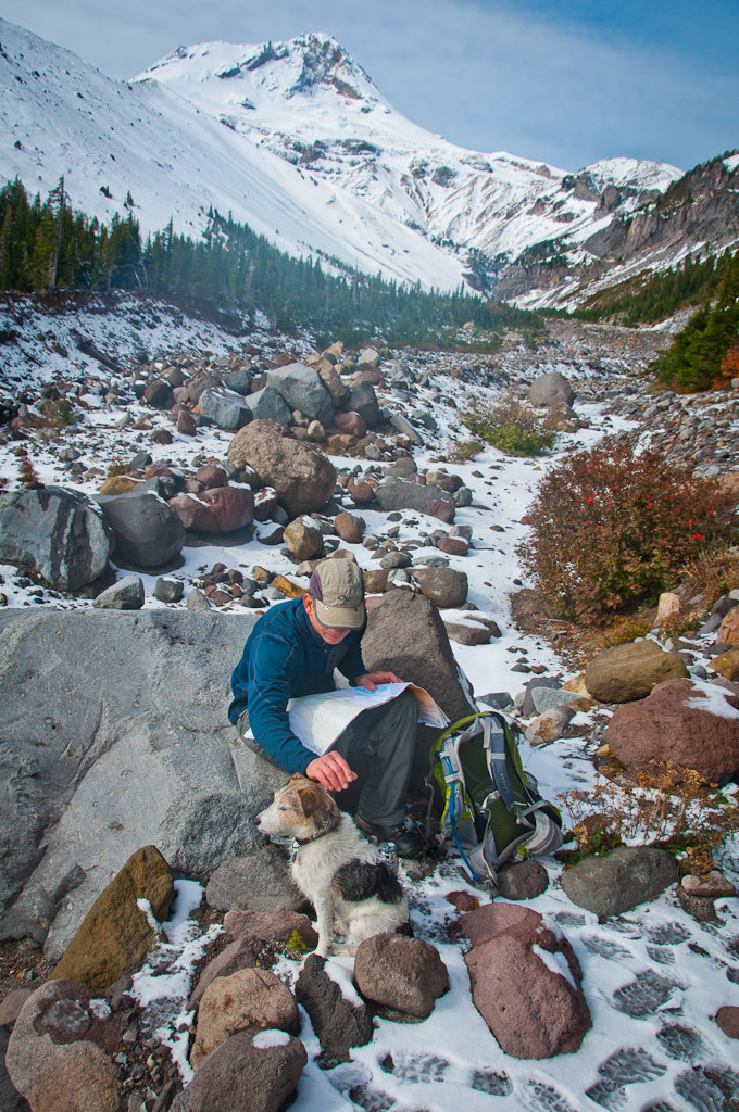
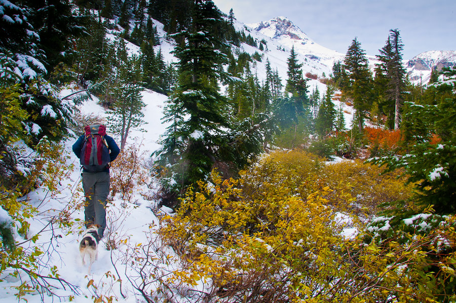
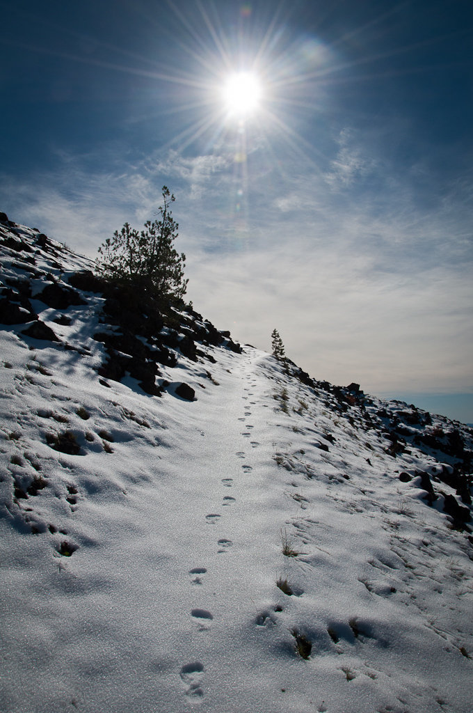
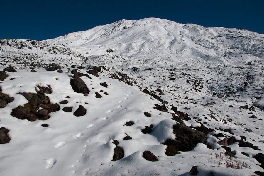
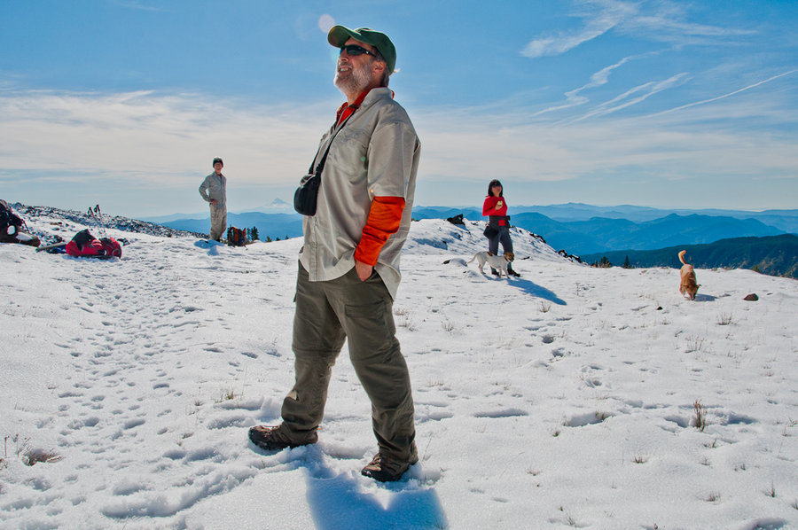
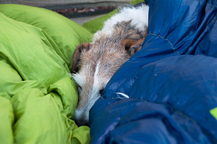
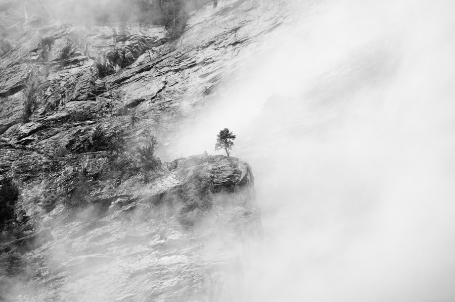
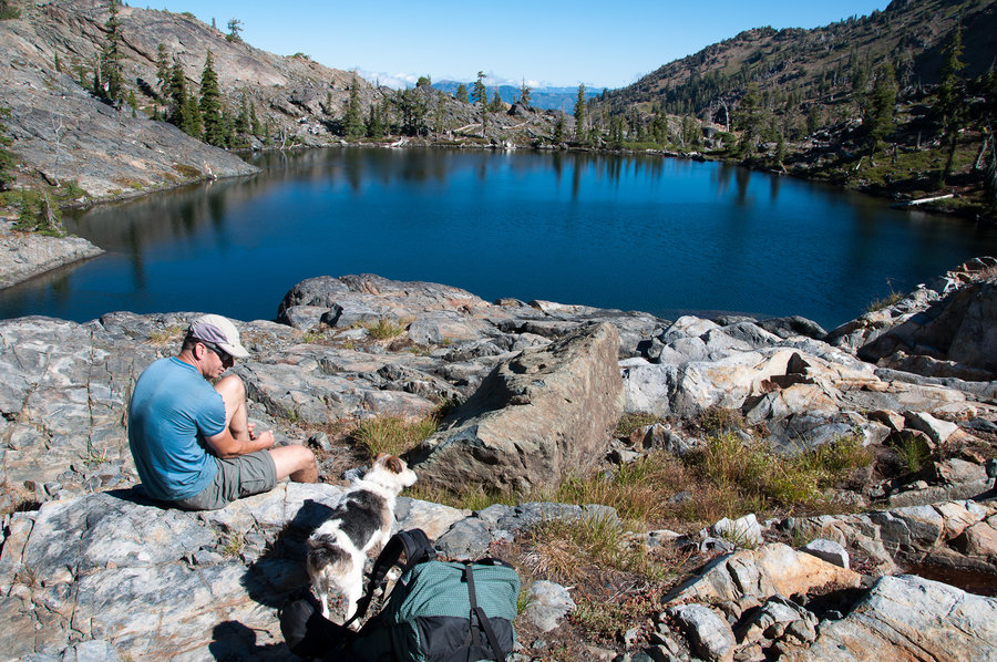
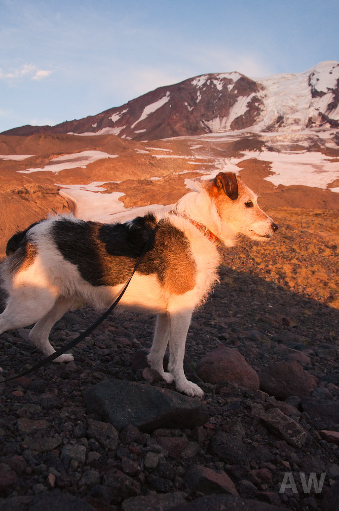
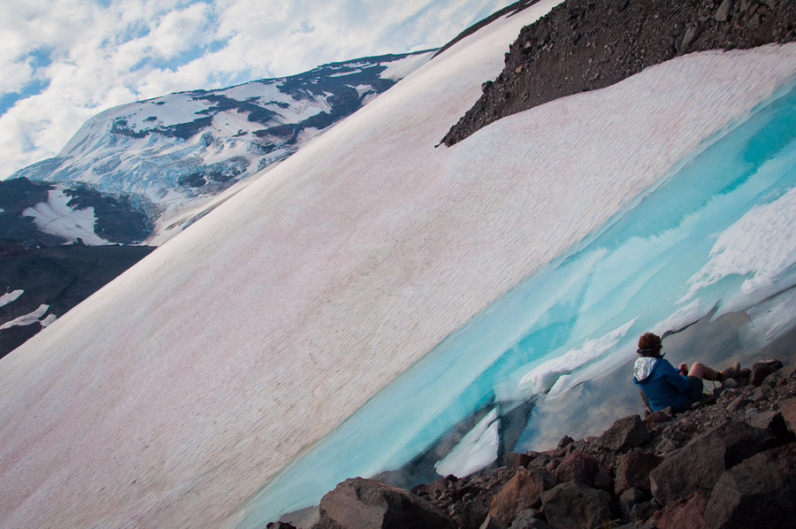
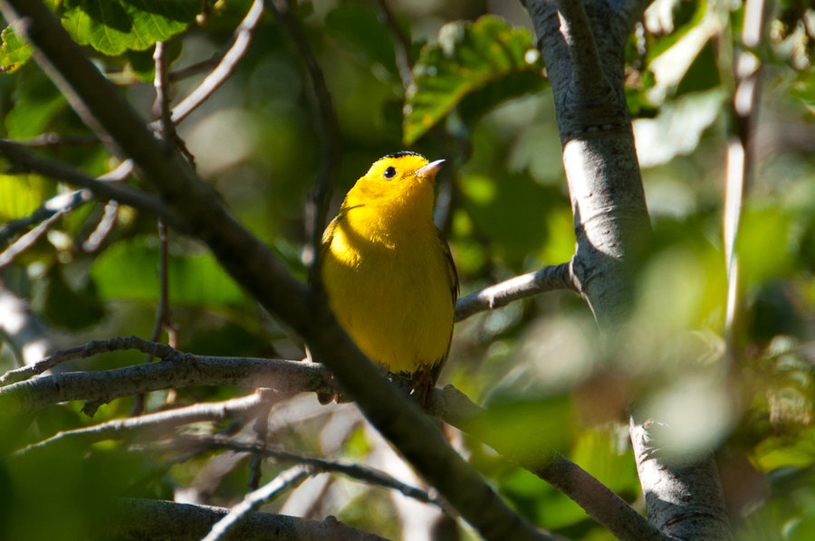
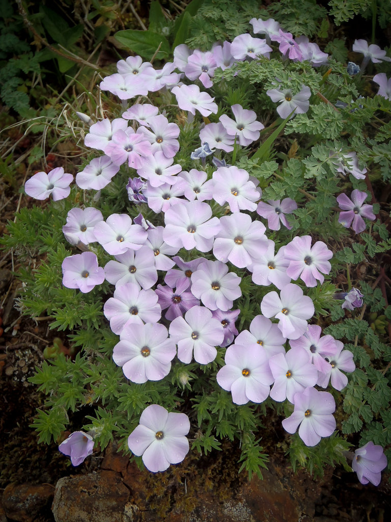
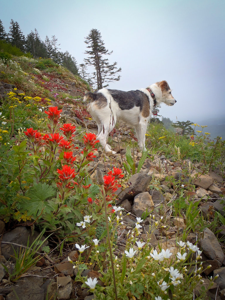
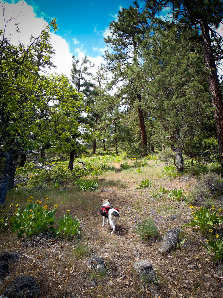
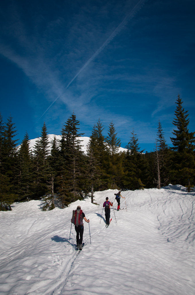
Took advantage of a really low snow year and the inversion to hike / ice climb / snowshoe up to Lamberson Butte via Elk Meadows and the ridge to the south of Newton Creek. Essentially no snow until the Timberline Trail, but the trails are covered with packed sheet ice. Microspikes or similar were essential. 2-6 inches of snow in Elk Meadows. We used snowshoes to follow Gnarl Ridge along its crest, about 8-10 inches deep with a mostly breakable crust. No snow on the actual ridgeline with southern exposure or in the tree islands. Great views of Hood despite a persistent lenticular cloud camped out on the peak. It was warm and sunny - in the 40s (maybe 50s) throughout the day. Windy at the Gnarl Ridge / Lamberson saddle, but no where else.
The return on the ridge south of Newton Creek was tiring due to 35-degree ice/snow on the trail. Everyone fell at one point or another, tumbling downhill into trees and bushes. Oscar the dog slid the furthest, his fall arrested by a tree well. Microspikes worked well, but the other traction devices weren't as stable.
We hiked this route in early October and there was more snow then.

December 29, 2013

 1
1
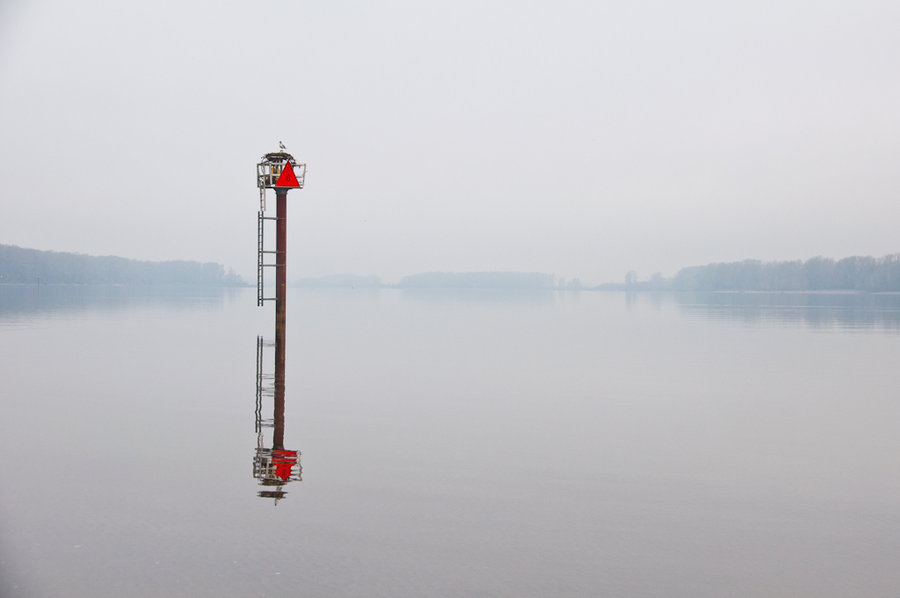
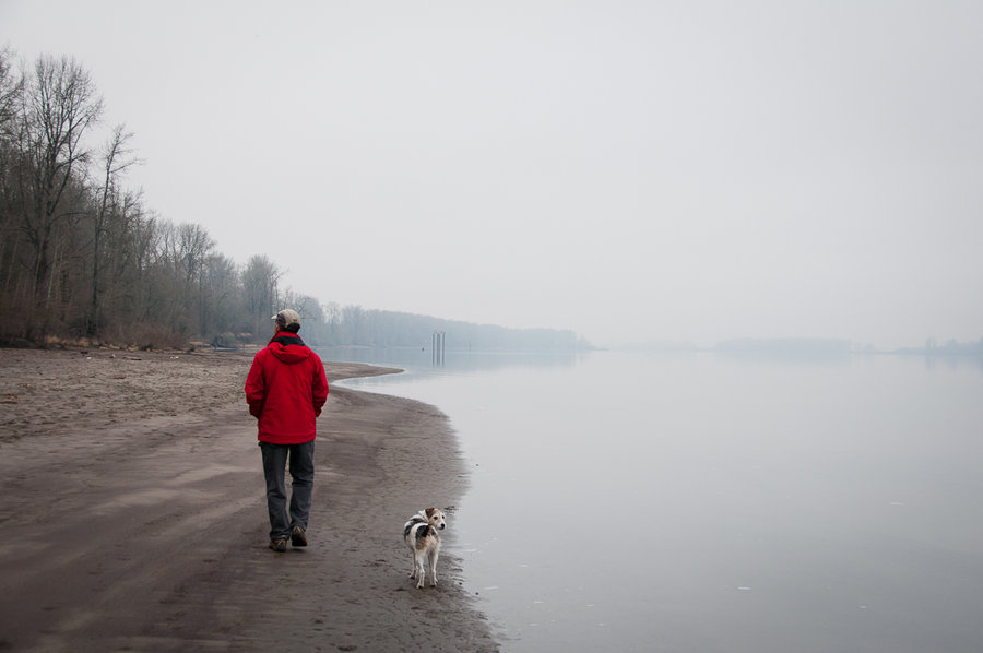
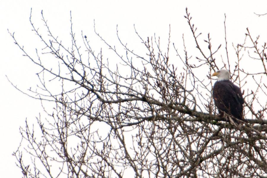
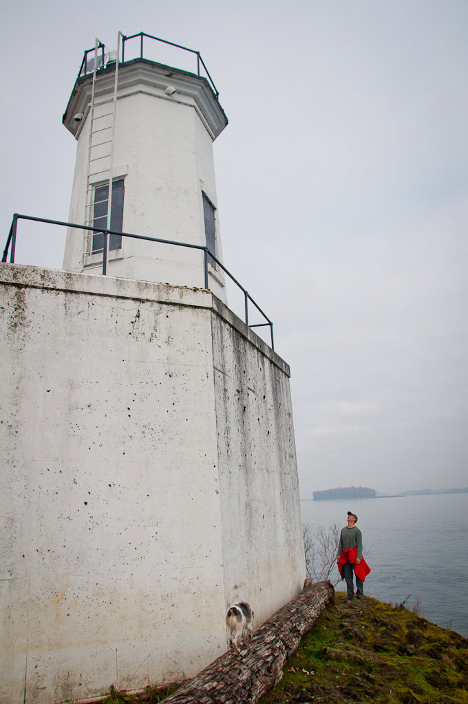
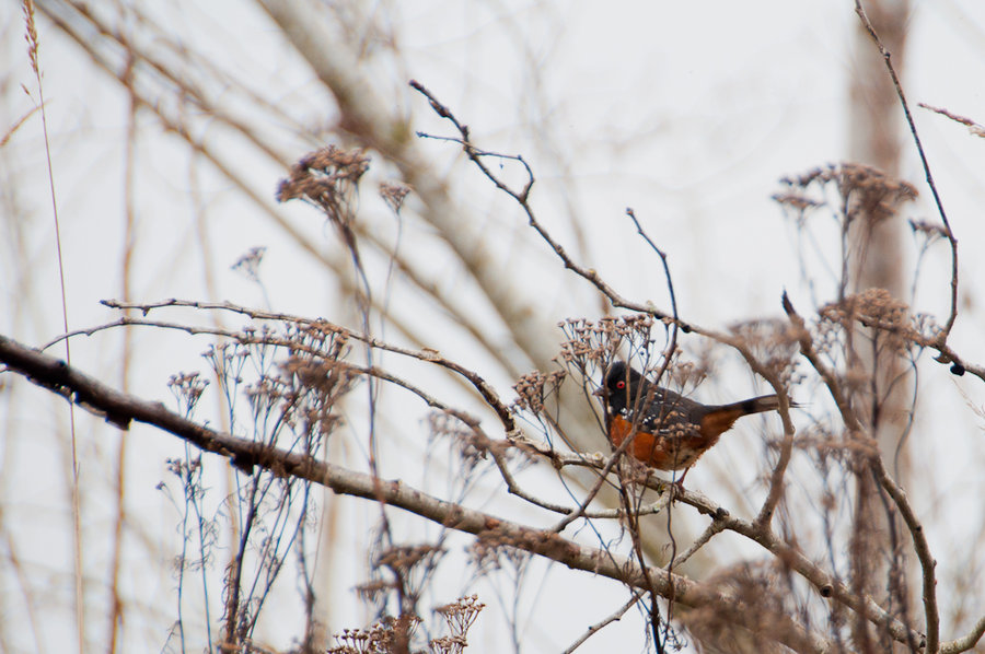
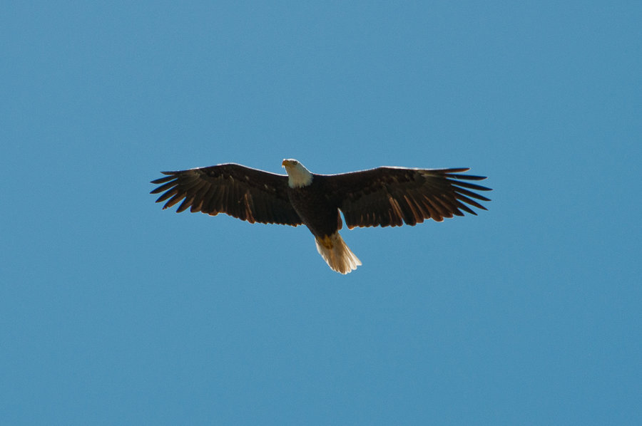
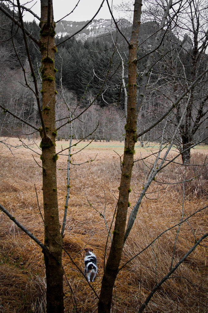
Warrior Point (Sauvie Island)
7 miles of hiking • 0' elevation gain •
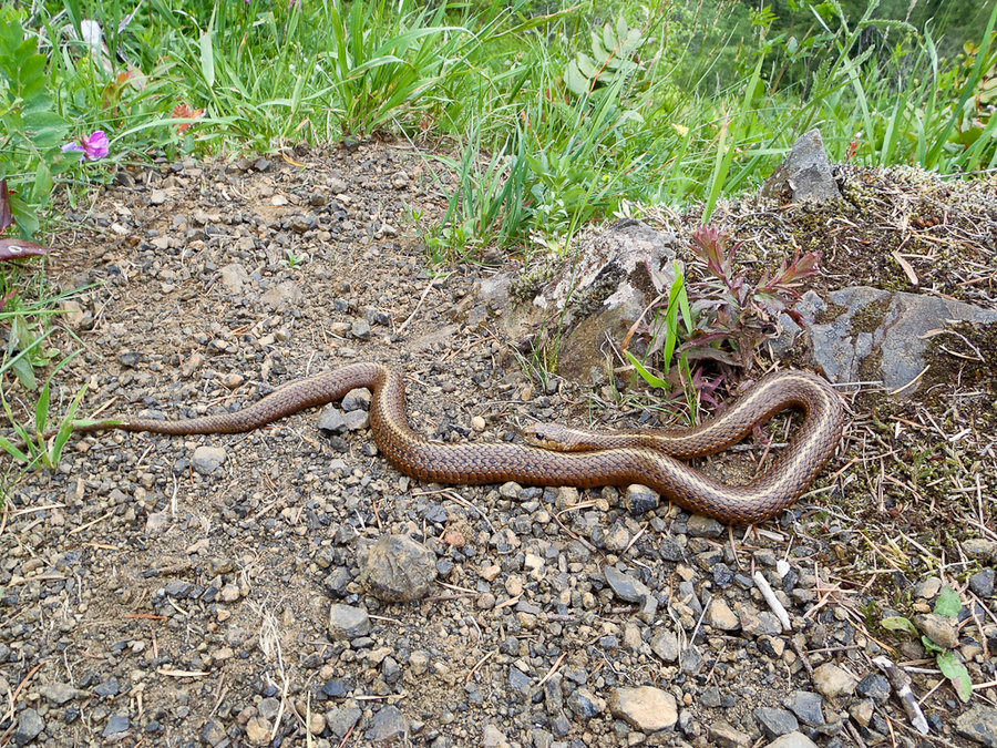
A cloudy, muddy romp on Sauvie Island. They are currently working on some trail restoration and churning up some foul-smelling muck that adds 2 pounds to your shoes. Saw three eagles (one juvenile), a sea lion, mergansers, geese, a variety of sparrows, and a bold spotted towhee. Lots of active hunting right now, so it sounds a bit like a war zone with the gun shots.
December 28, 2013

 1
1
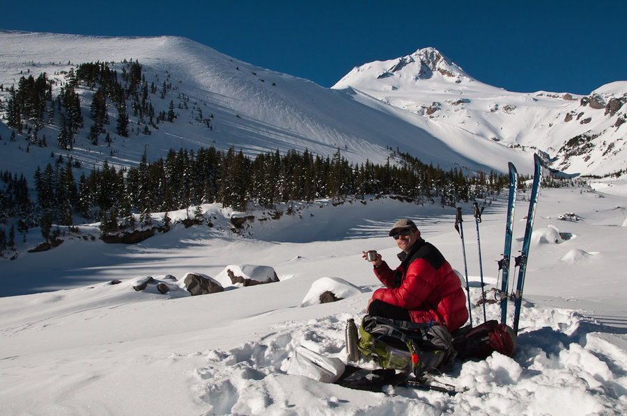
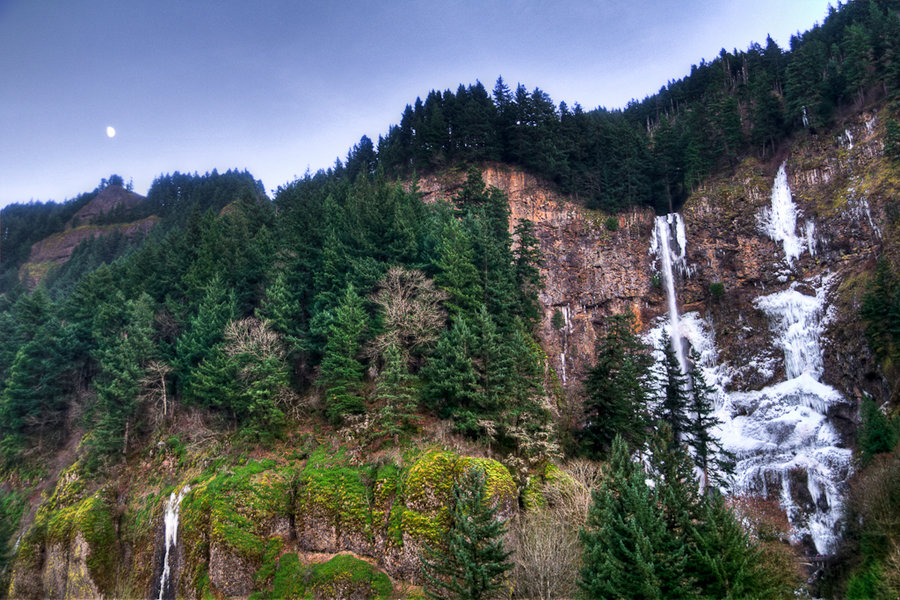
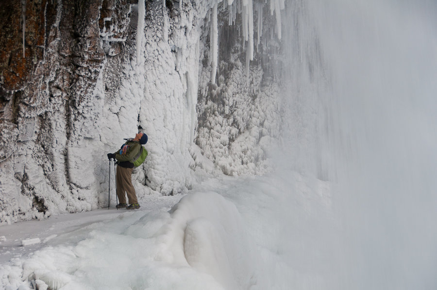
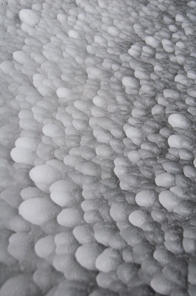
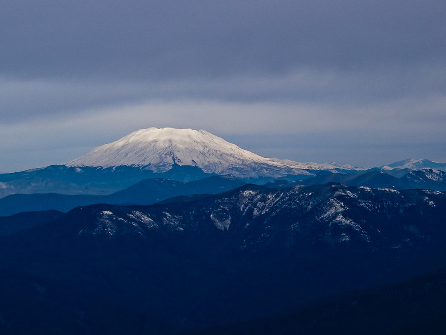
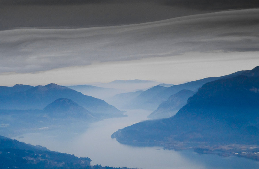
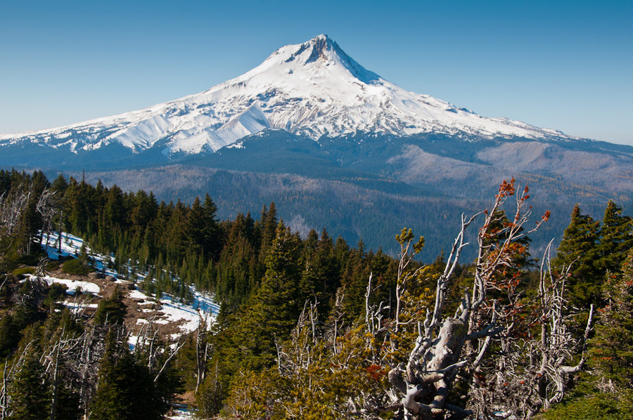
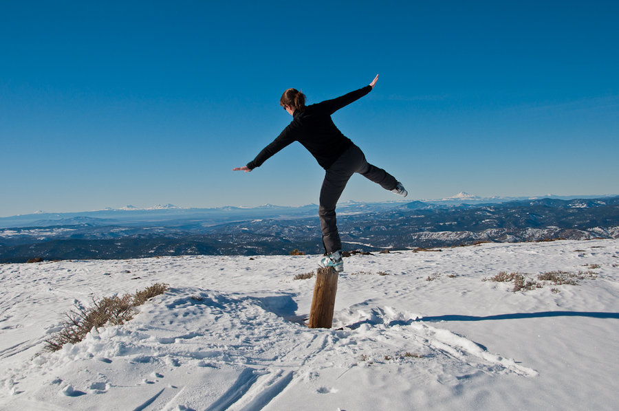
Starvation Ridge - Mt. Defiance Loop
12.5 miles of hiking • 5000' elevation gain •
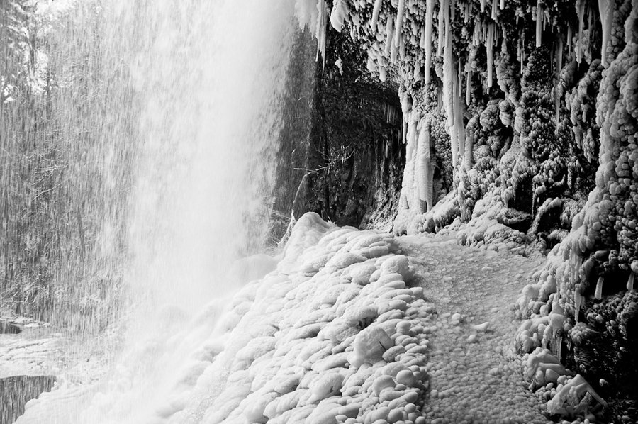
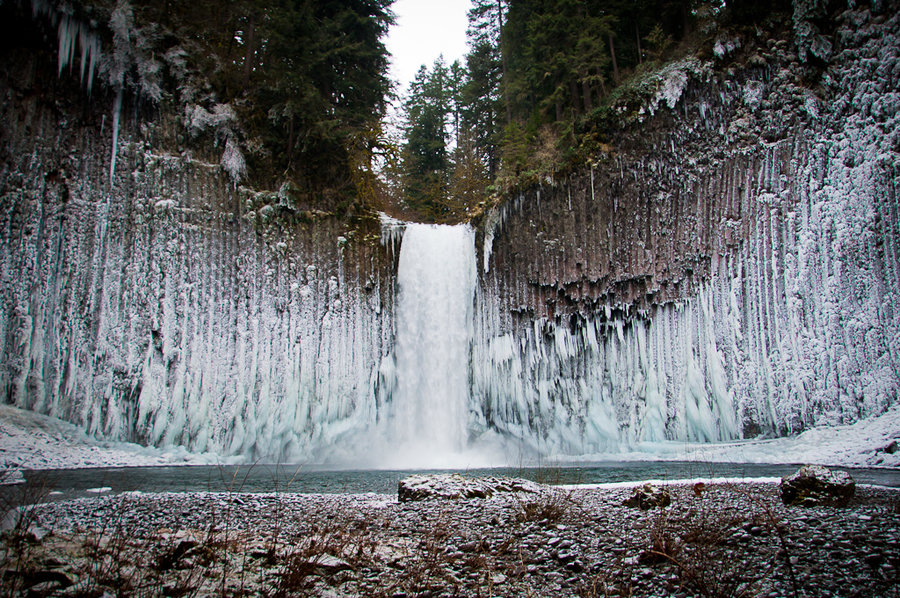
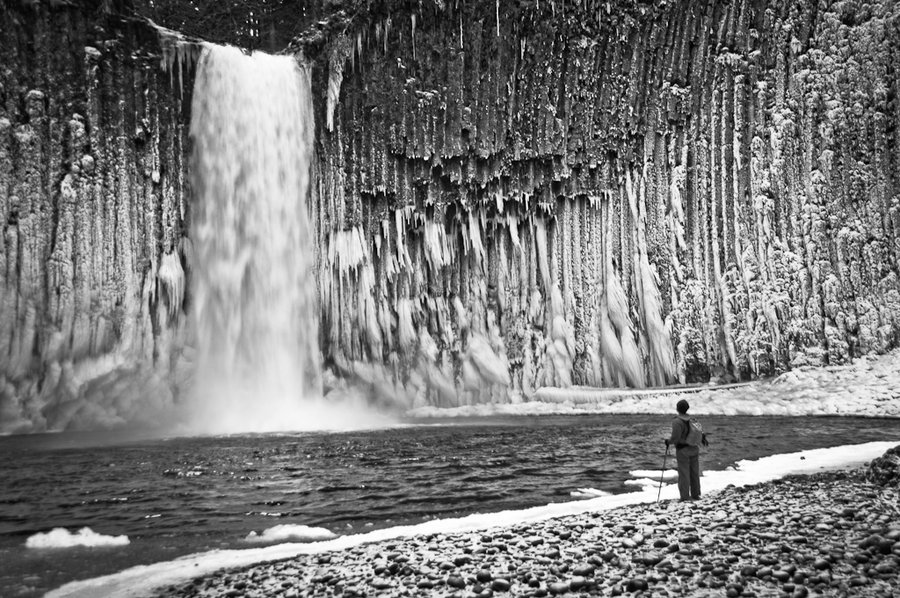
Up, up, and away - out of the fog and into the sunshine! 71 degrees and sunny on the top of Mt. Defiance, a great place to stop for peanut butter and jellies and some Christmas cookies. No snow or ice until about 4300'. A constant ice sheet above made us happy that we brought microspikes. Warren Lake was completely frozen - perfect for ice skating had we hauled up some ice skates. Great views of all the volcanos - see Karl's report for photos. He was the official documentarian.
December 26, 2013
 1
1
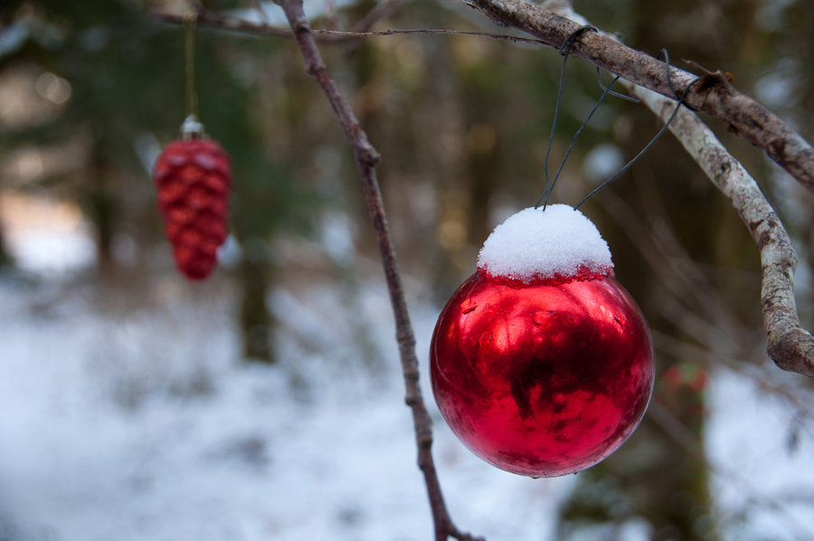
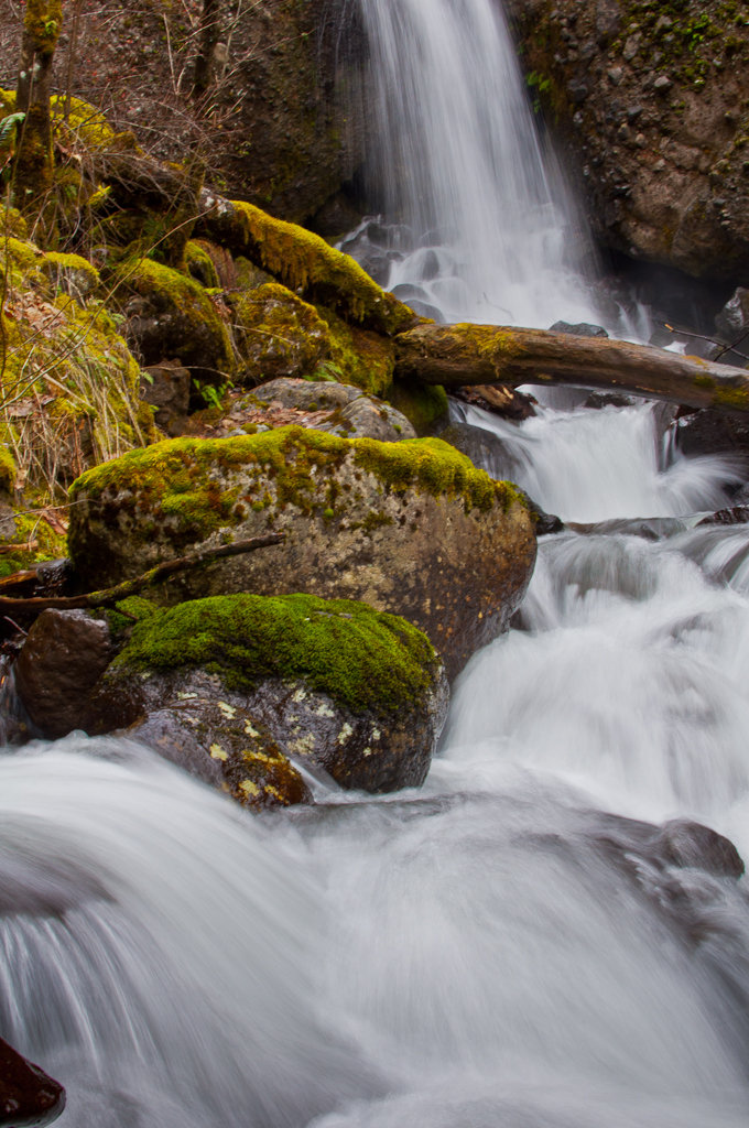
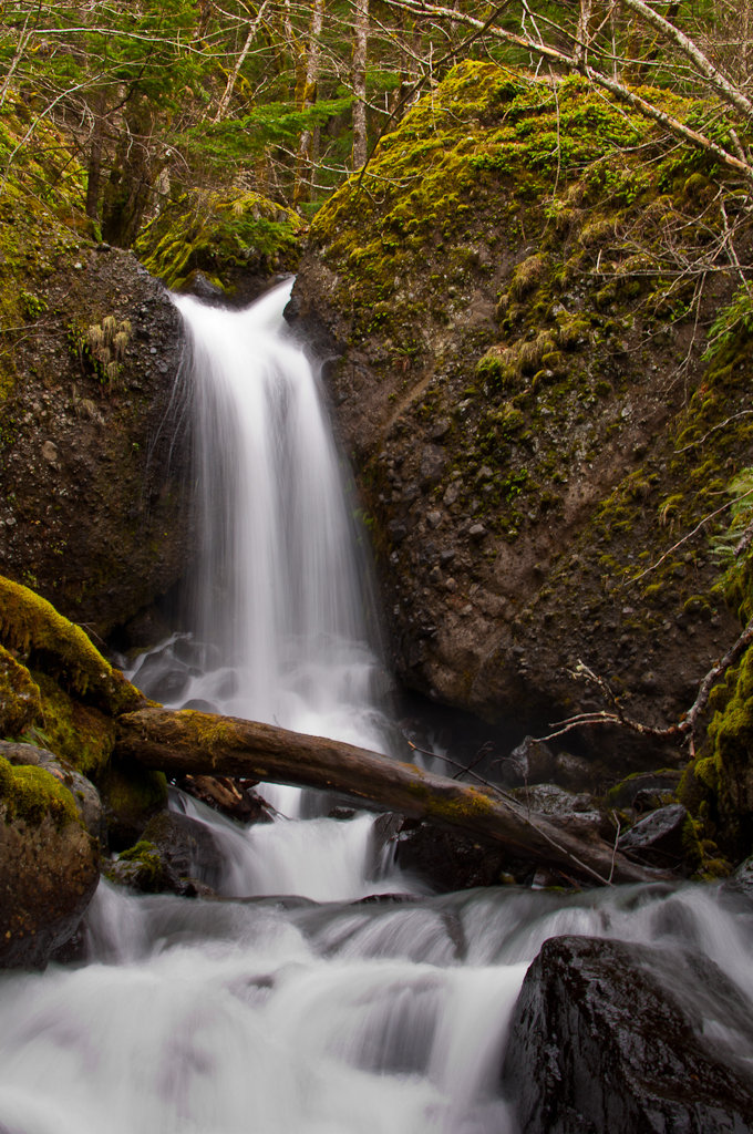
Elevator Shaft - Multnomah Basin - Franklin Ridge - Oneonta Loop
16 miles of hiking • 3750' elevation gain •
A long foggy, wet hike on the shortest day of the year. Made a quick visit to the Christmas Ornament Trail and Nesika Lodge before climbing up Franklin Ridge and then back down to Oneonta.
December 21, 2013
 2
2
Mirror Lake - Tom Dick Ridge - SkiBowl Loop
7 miles of hiking • 2000' elevation gain •
My first time to Mirror Lake, which was frozen solid and covered in a paper thin layer of snow. Trail was ostensibly ice with a tiny bit of snow over it, making for some slippery conditions. Beautiful weather.
December 19, 2013

Indian Point (via Nick Eaton)
8.5 miles of hiking • 3000' elevation gain •
A quick morning hike up to Indian Point. Dramatic weather on the point.
December 15, 2013

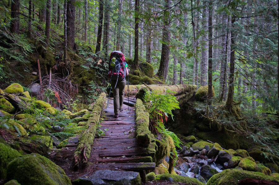
Multnomah Basin - Devils Rest - Wahkeena Loop
15 miles of hiking • 3250' elevation gain •
December 11, 2013

December 9, 2013

 1
1
Silver Star (Grouse Vista)
8 miles of hiking • 2500' elevation gain •
A cold, snowy hike up Silver Star from Grouse Vista. Made a loop of it via Sturgeon Rock and the Tarbell Trail.
December 5, 2013

 2
2
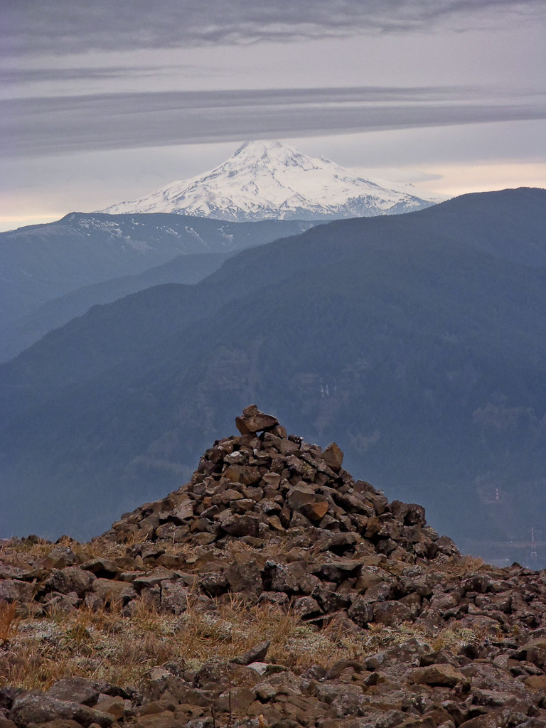
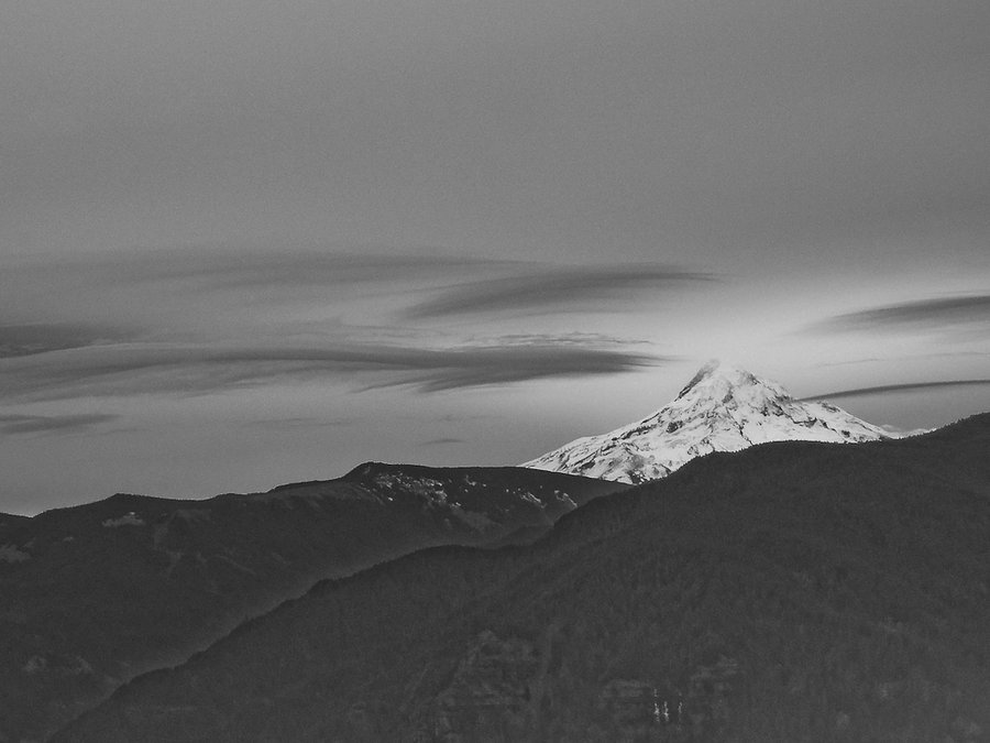
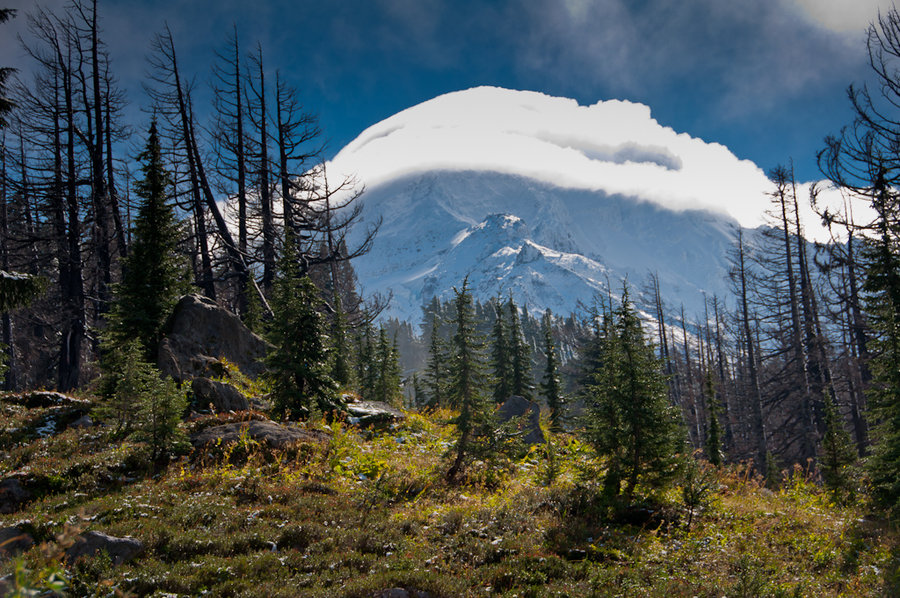
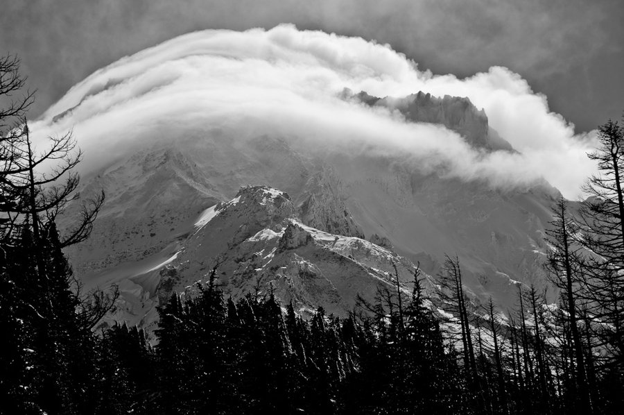
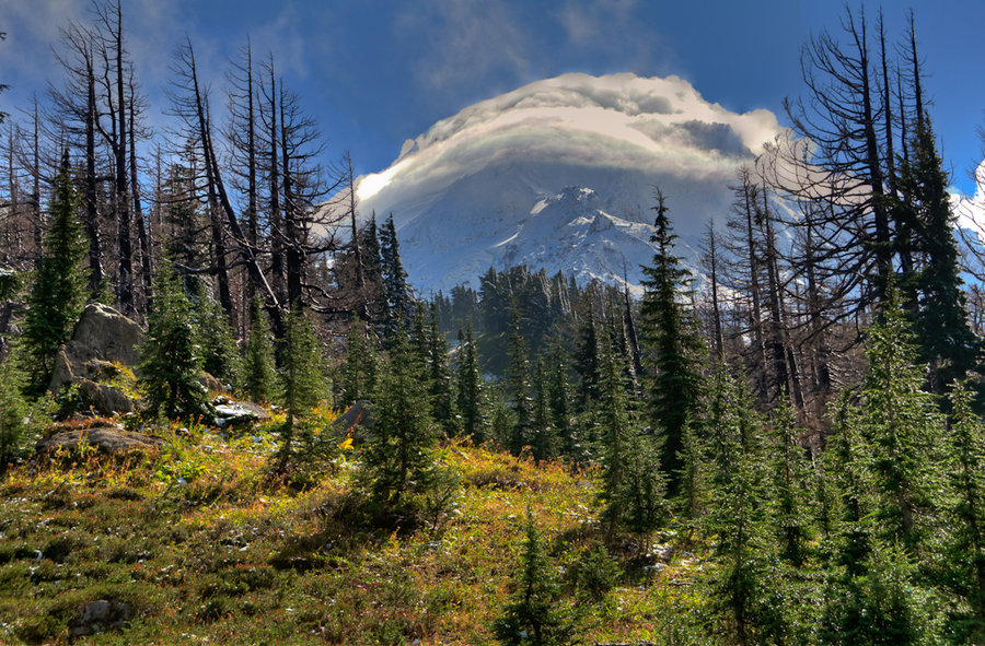
Table Mountain
8.5 miles of hiking • 3500' elevation gain •
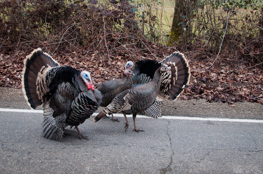
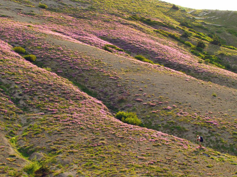
Post-Thanksgiving hike up Table Mountain to burn off some of the excess calories. Great lenticular clouds over the river and Mt. Hood.
November 29, 2013

Burnt Lake and East ZigZag Mountain
9.5 miles of hiking • 2500' elevation gain •
A beautiful and cold hike up to Burnt Lake and East ZigZag Mountain. Great views of Mt. Hood and great company. Found a couple of frost flowers near the trailhead.
November 23, 2013


Game Lake - Game Lake Butte
5 miles of hiking • 750' elevation gain • 1 night
Off-trail exploring in the Game Lake area of the Kalmiopsis Wilderness
October 28 – October 29, 2013

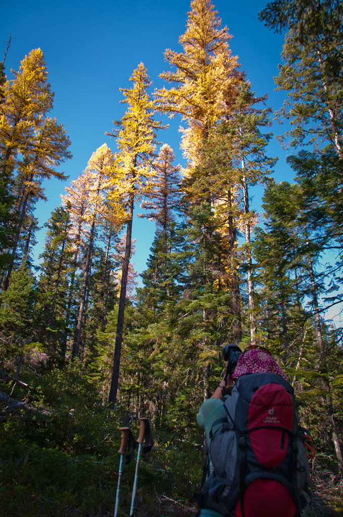
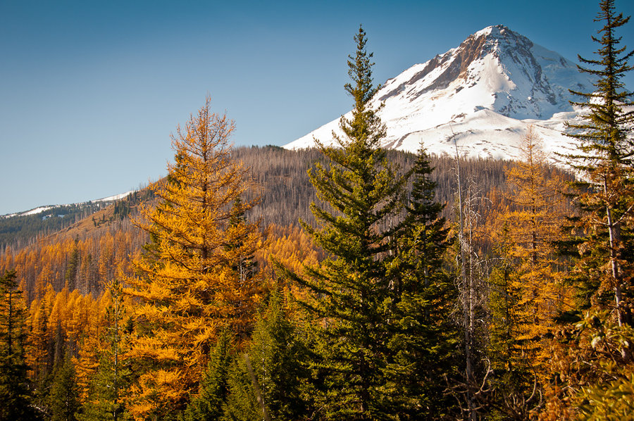
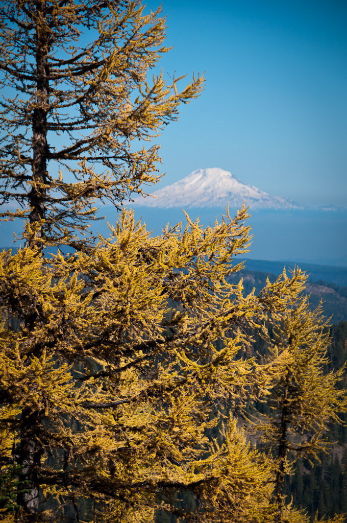
Lamberson Spur Out-and-Back
10.5 miles of hiking • 3000' elevation gain •
On the hunt for a large patch of Western Larch on the east side of Mt. Hood. Started/ended from the Tamawanas Falls trailhead.
October 22, 2013

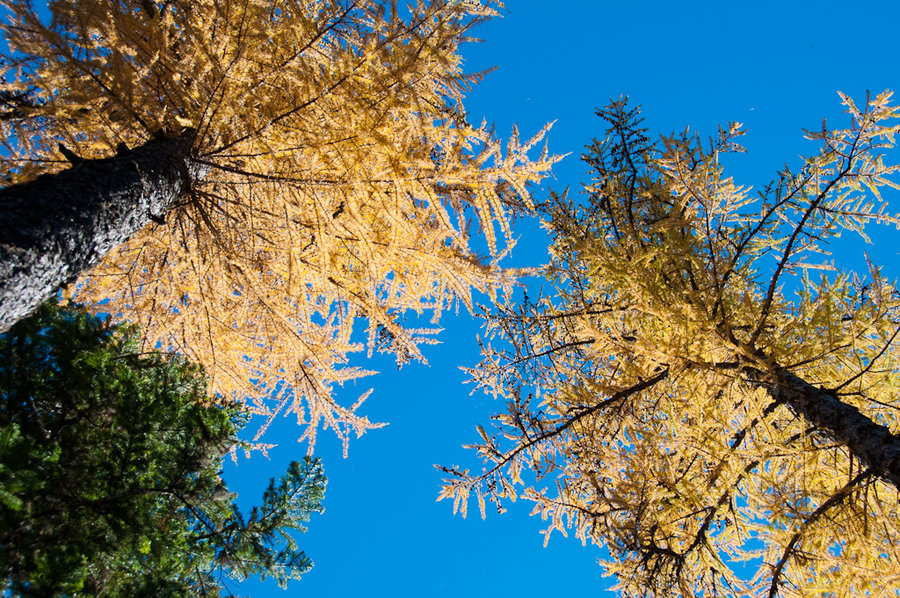
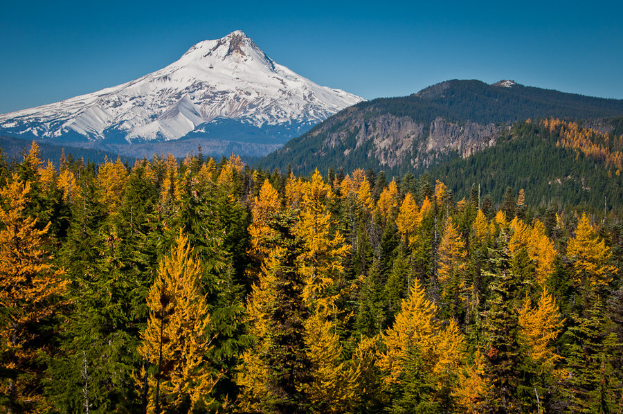
Flag Point Lookout - Lookout Mountain Traverse
10.5 miles of hiking • 3000' elevation gain •
Started from the Fret Creek trailhead. Traversed the ridgeline looking for Western Larch. Great views all around!
October 17, 2013

October 15, 2013
 1
1
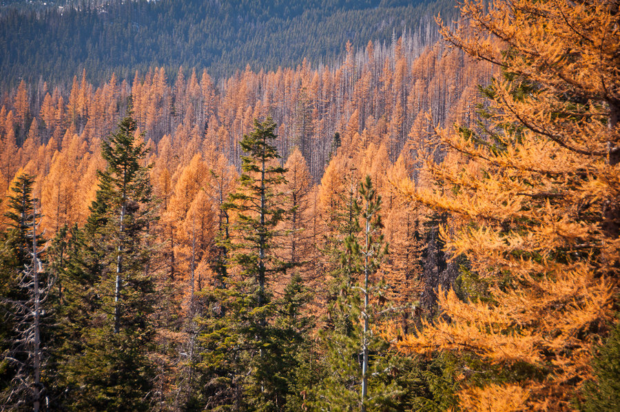
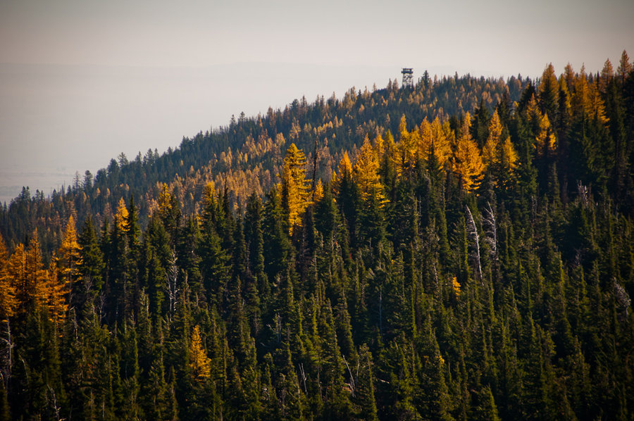
Little Badger Creek Loop
18 miles of hiking • 4500' elevation gain • 1 night
An overnight trip to scope out how the Western Larch are progressing.
October 13 – October 14, 2013

Elk Meadows Loop
10.5 miles of hiking • 2500' elevation gain •
A lightly snowy loop hike from HRM to Elk Meadows and back via the Timberline Trail.
October 9, 2013


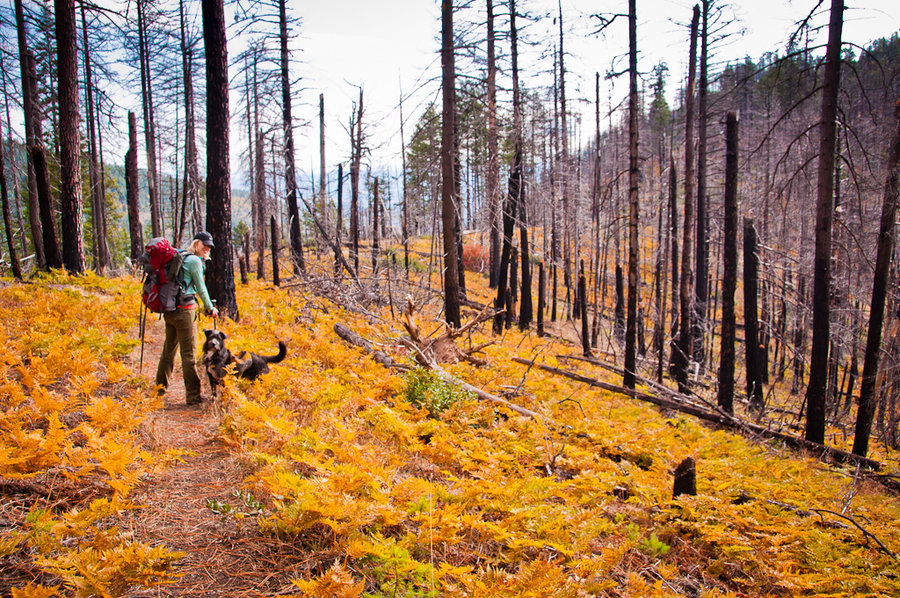
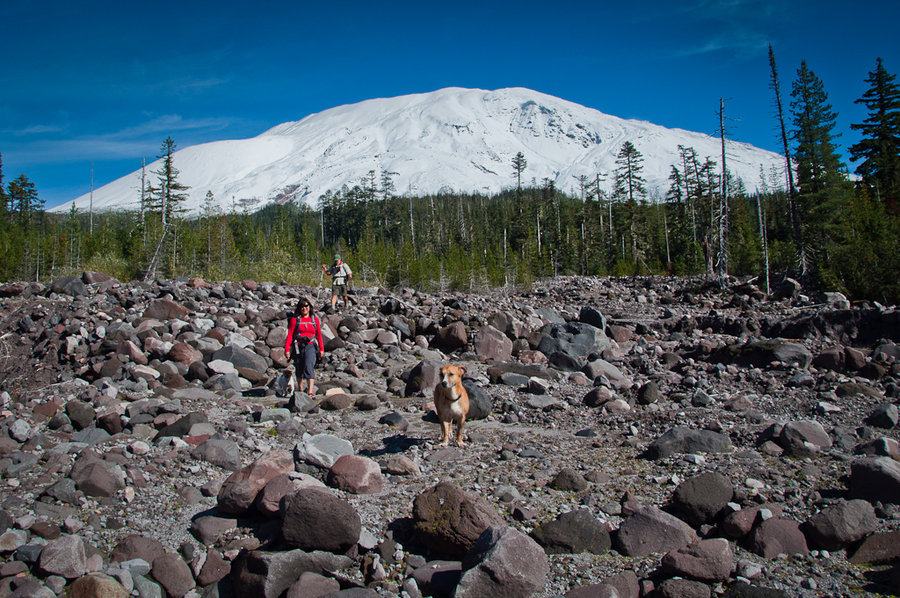
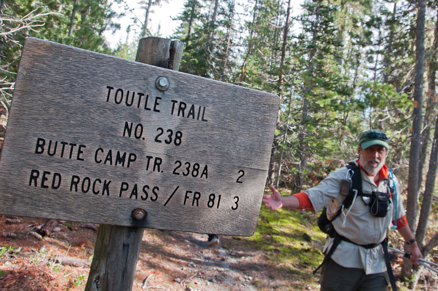
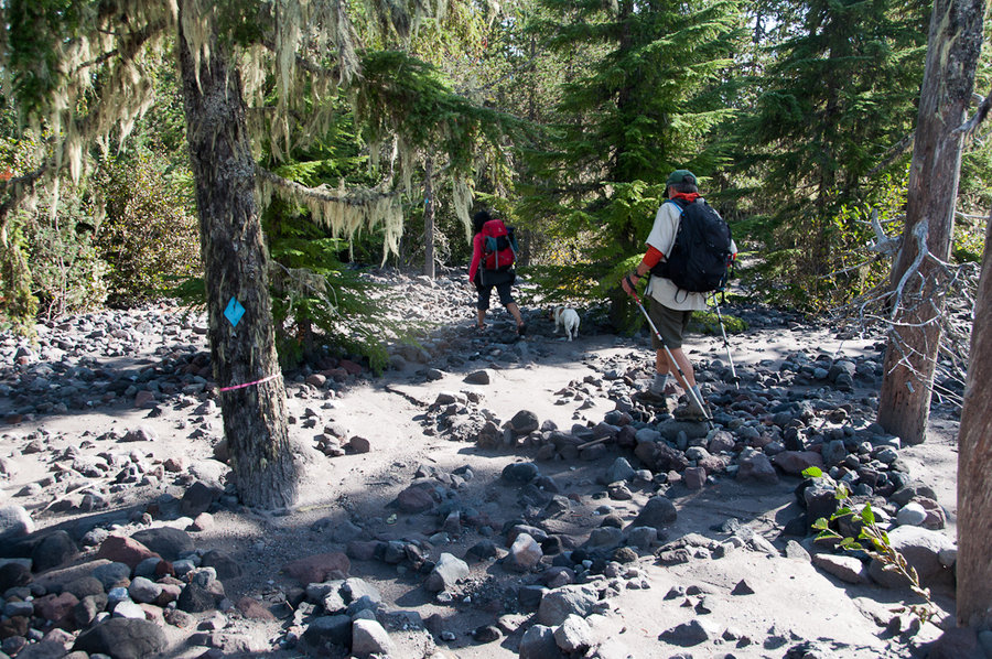
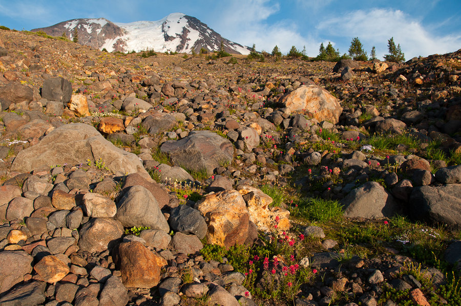
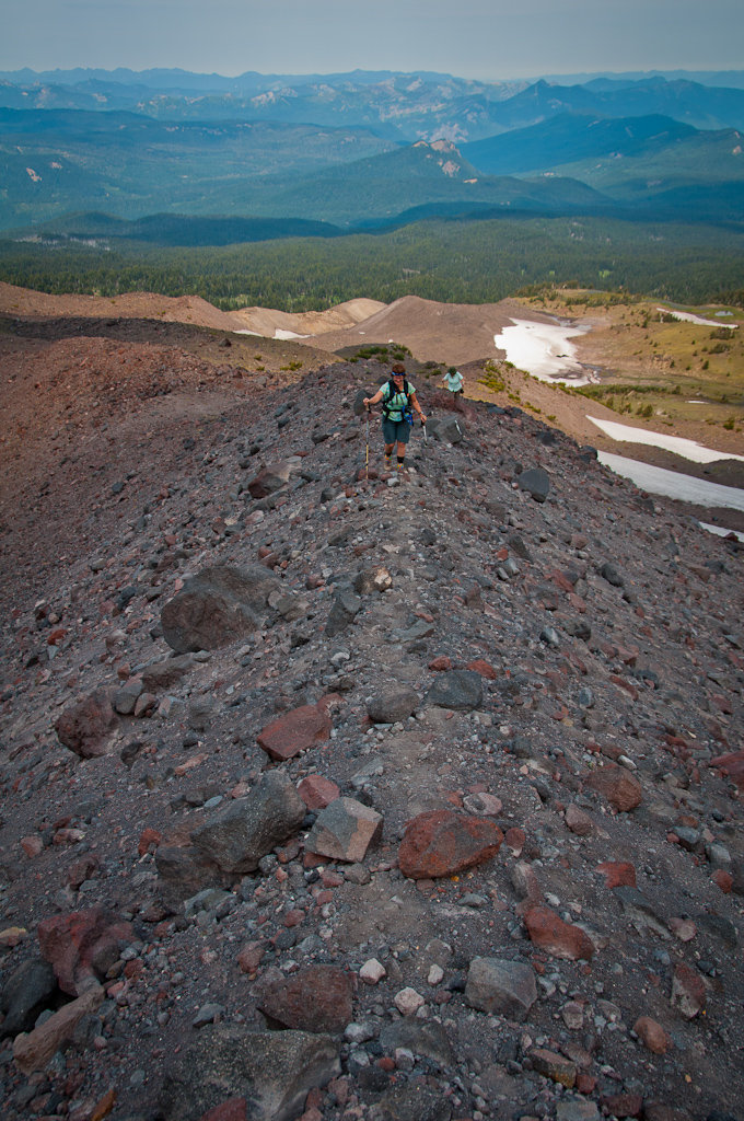
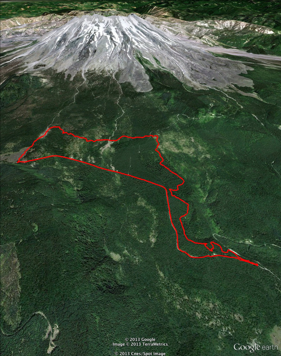
MSH Butte Dome - Loowit Loop
12.5 miles of hiking • 2500' elevation gain •
We did a fun 12-mile loop on the southwest side, starting at the Redrock Pass trailhead, ascending north up the Butte Camp Dome trail, and tromping through snow on the Loowit to the Loowit re-route. From there, we did a short bushwhack south along the drainage to meet up with Trail 237 (Toutle Trail) and then floundered to find Trail 231 (Kalama Ski Trail) back to the trailhead. (The 231/237/238 trail intersection is confusing. The actual trails weren’t expressed correctly on any of our four maps.) A [really] early winter storm dropped snow was low as 4500′; it was between 4″ – 6″ around 5,000′.
October 4, 2013

Timberline Trail T-Hike
16 miles of hiking • 3500' elevation gain • 1 night
My original plan was to start at the Vista Ridge trailhead, climb to the Timberline Trail and then head south to McNeil Point, where I would camp. I would return along the Timberline Trail the following day and make a day-visit to Elk Cove. What ended up happening was that I day-hiked to the ponds just beyond the McNeil Point trail, warily eyed the fresh snow on the ridge above and the drippy, wet camping opportunities on the trail below, and decided to see if it was any better looking in Elk Cove. It was.
Full report on the blog
September 26 – September 27, 2013

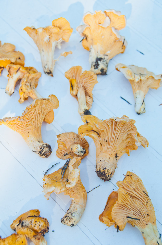
Cedar Mountain
7 miles of hiking • 2250' elevation gain •
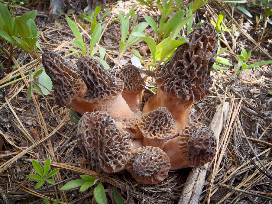
A quick hike with friends and some early chanterelle mushrooms.
September 20, 2013

Lost Lake Butte - Lost Lake Loop
10 miles of hiking • 1250' elevation gain •
A weekend at Lost Lake with some hiking, paddling, and swimming.
September 15, 2013

Gales Creek
5 miles of hiking • 250' elevation gain •
A quiet stroll along Gales Creek looking for mushrooms.
September 10, 2013

September 7 – September 10, 2013

ABCD Lakes Loop
20 miles of hiking • 4000' elevation gain • 2 nights
Full trip report on Portland Hikers.
August 29 – August 31, 2013

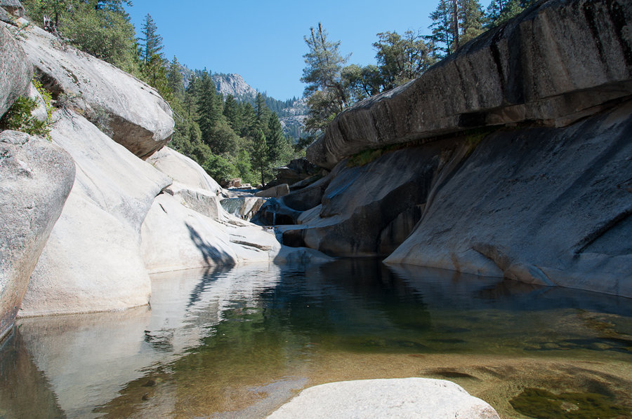
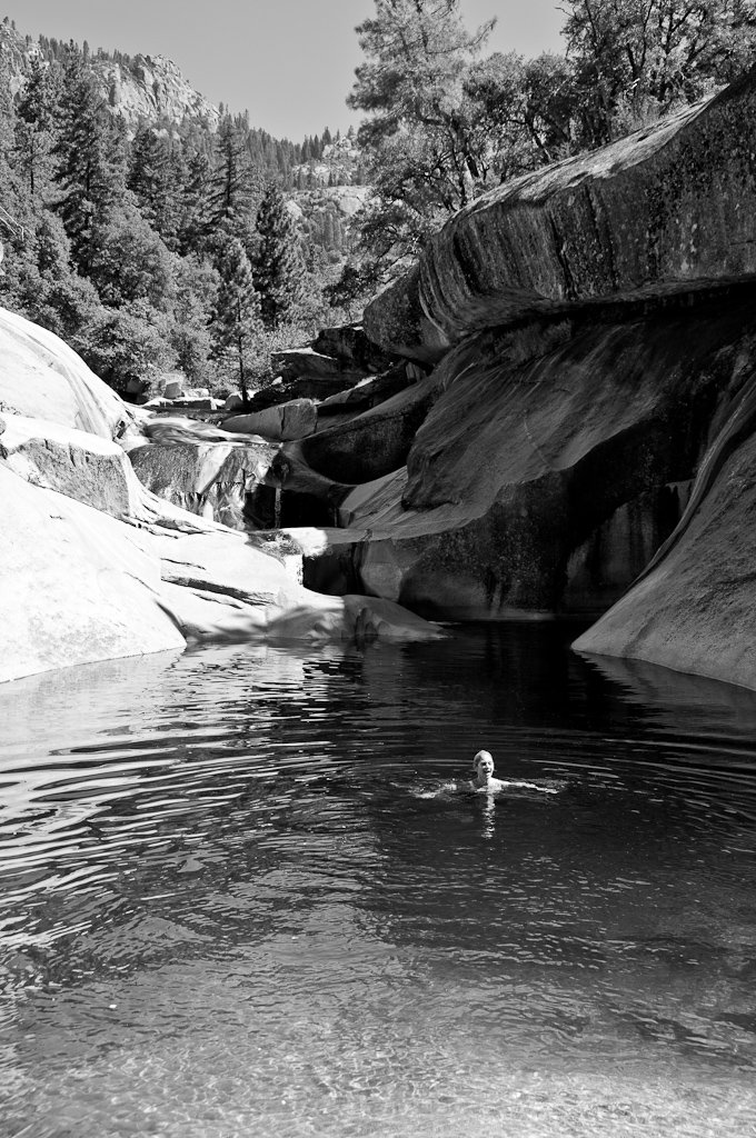
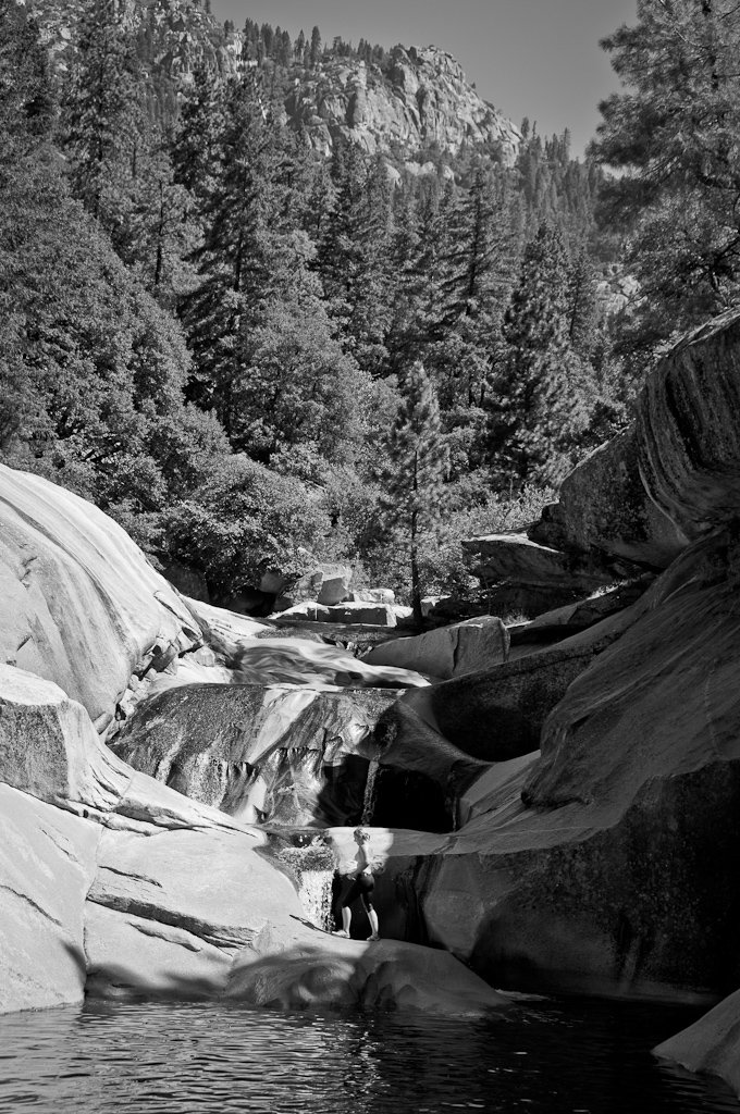
The Potholes
3 miles of hiking • 0' elevation gain •
A short hike to granite slabs you can slide down into water-filled potholes.
August 25, 2013

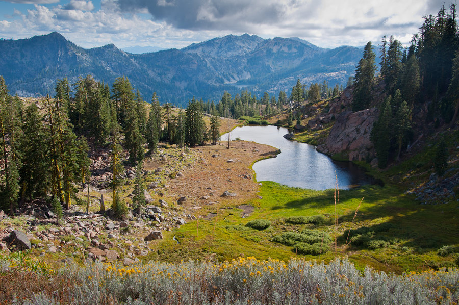
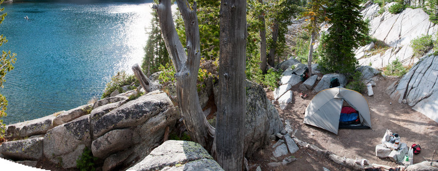
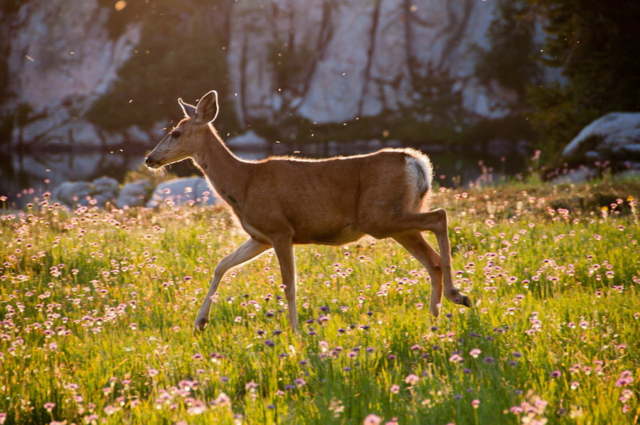
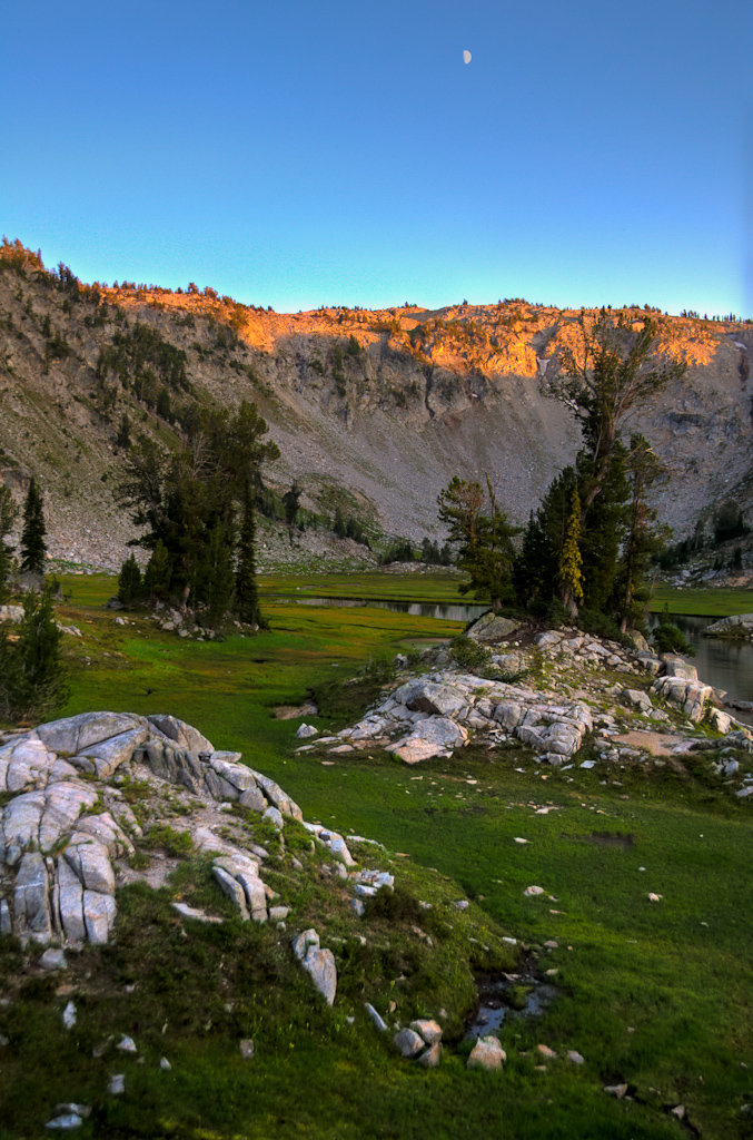
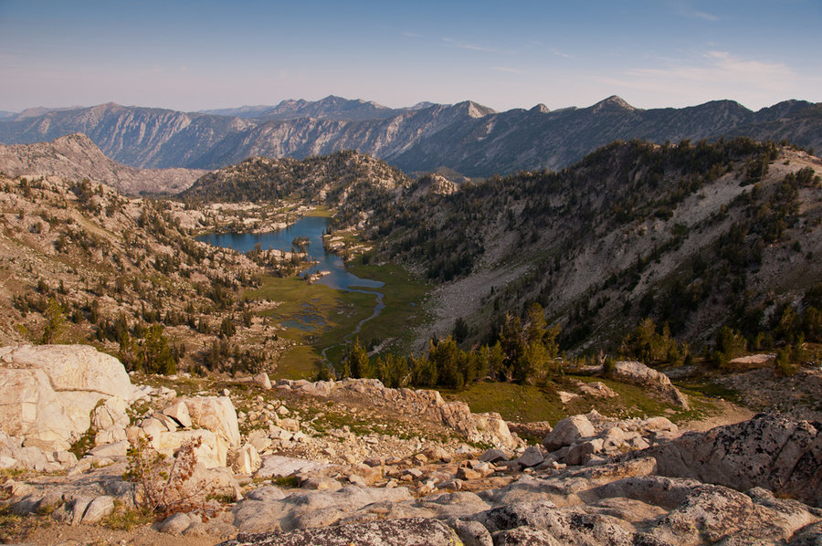
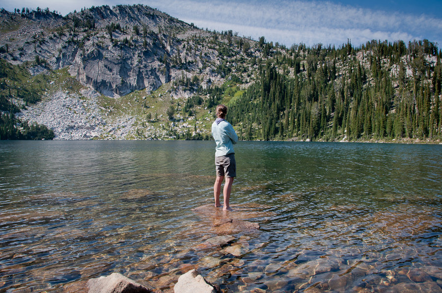
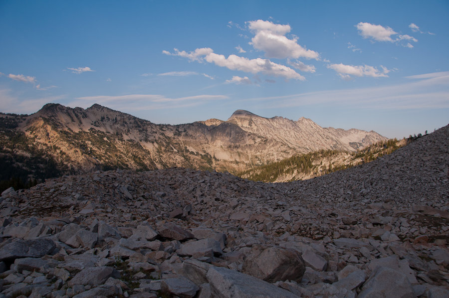
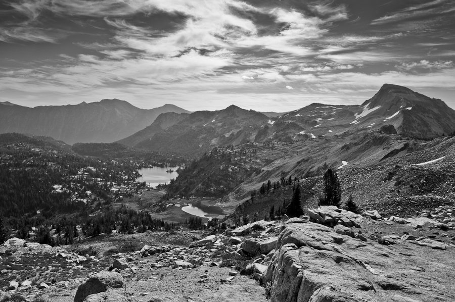
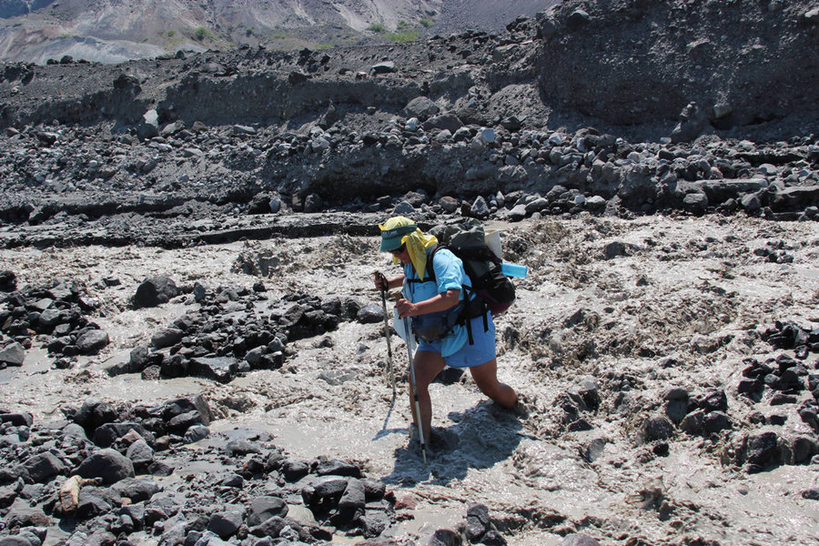
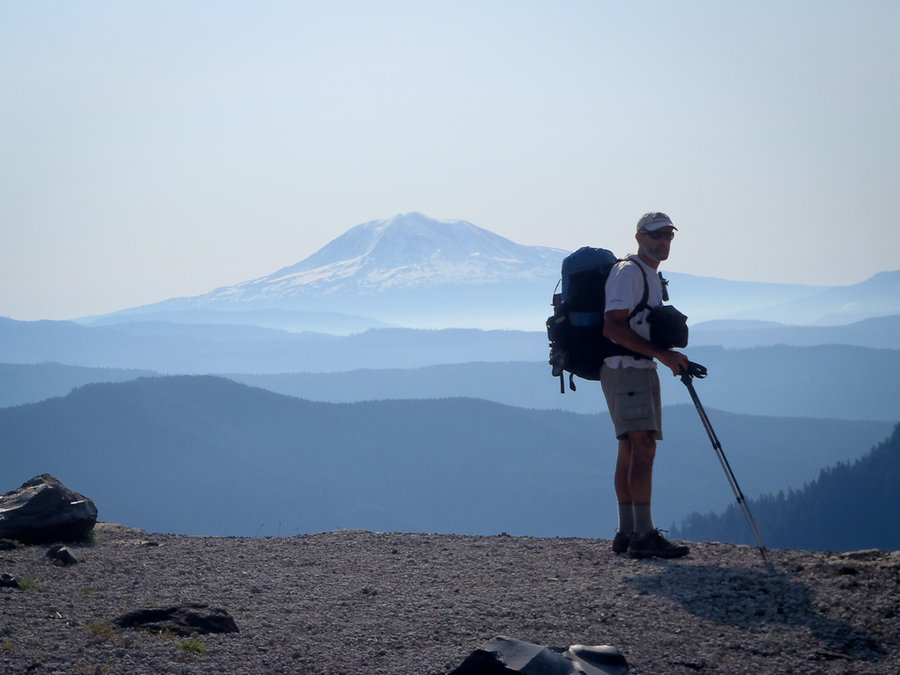
Lostine - Minam Loop
52 miles of hiking • 11000' elevation gain • 4 nights
Full trip report on the blog.
August 13 – August 17, 2013

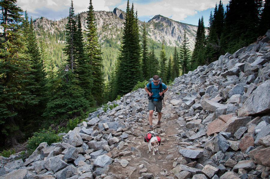

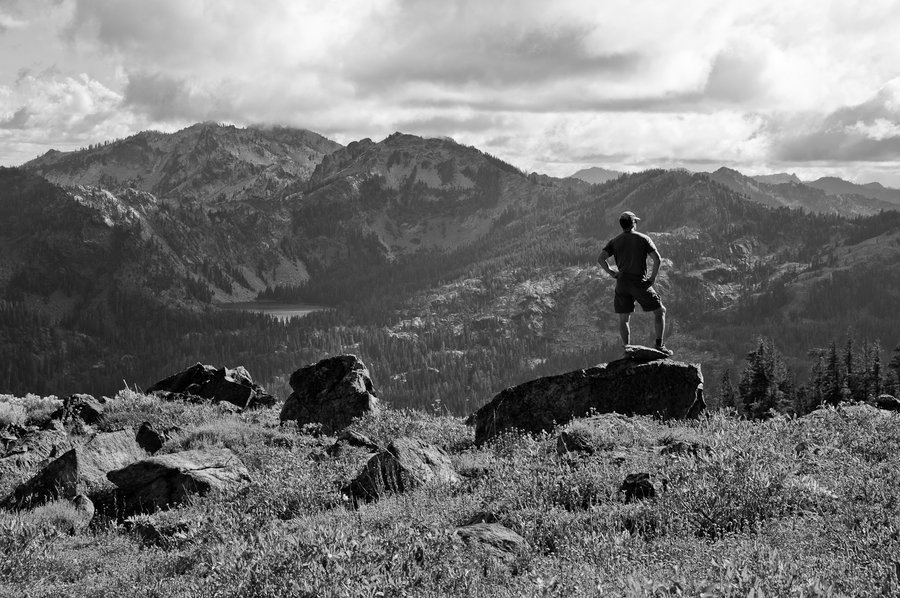
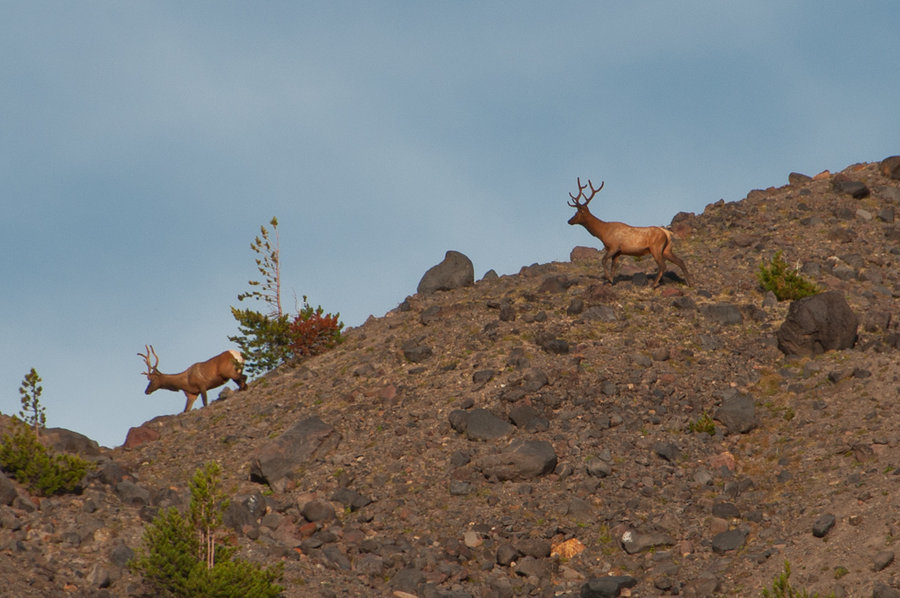
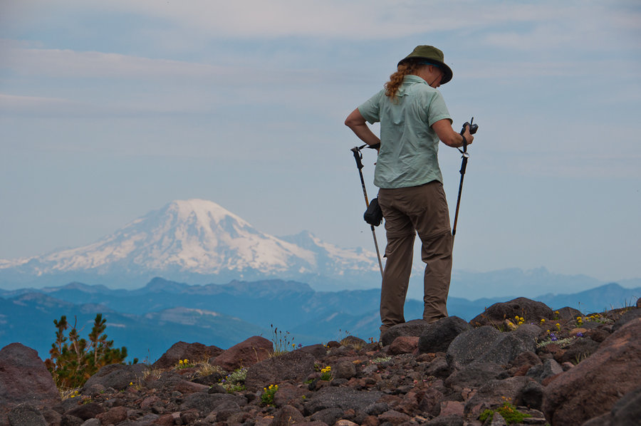
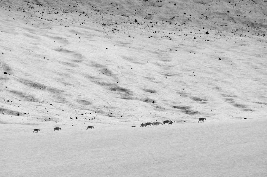
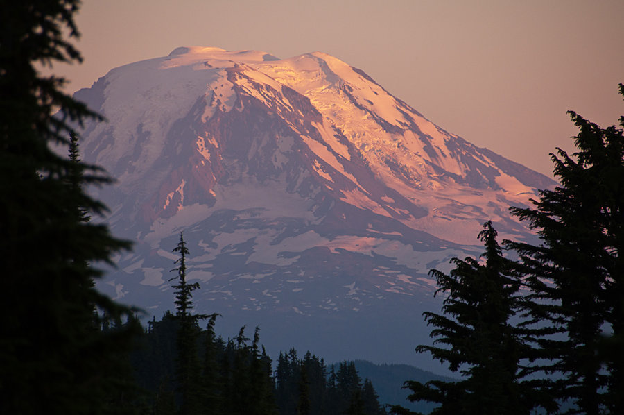
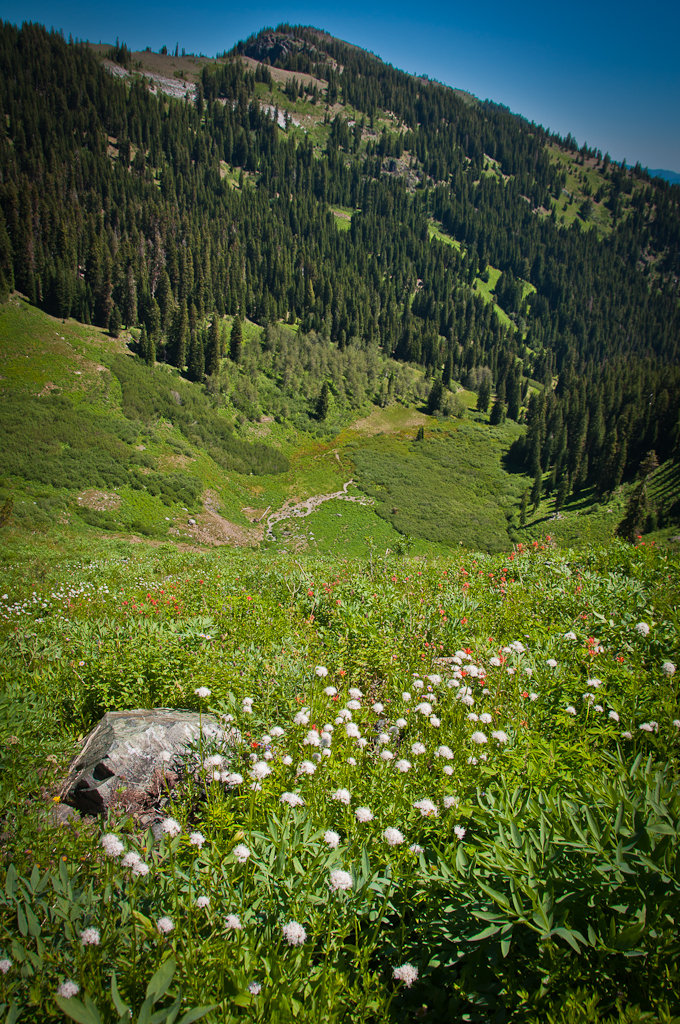
Mt. Adams North
16 miles of hiking • 3750' elevation gain • 2 nights
Beautiful flowers, sunsets, animals, and scenery. Rode out an epic thunderstorm on the second night. Found Equestria Lake.
August 8 – August 10, 2013

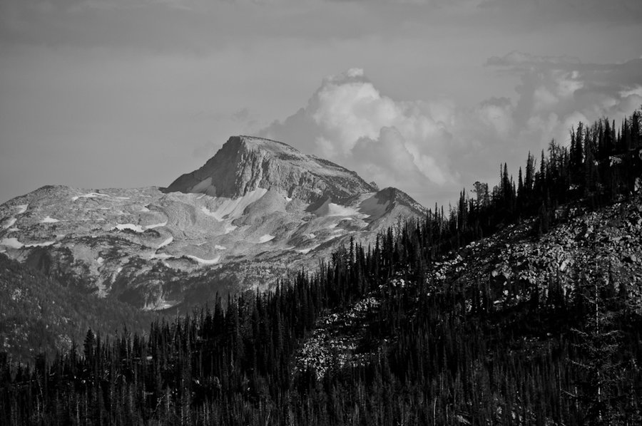
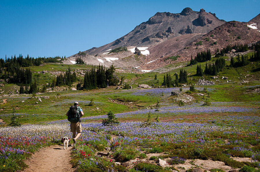
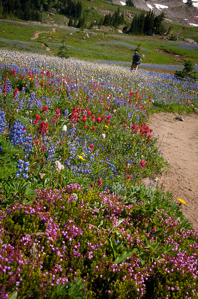
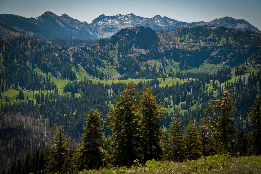
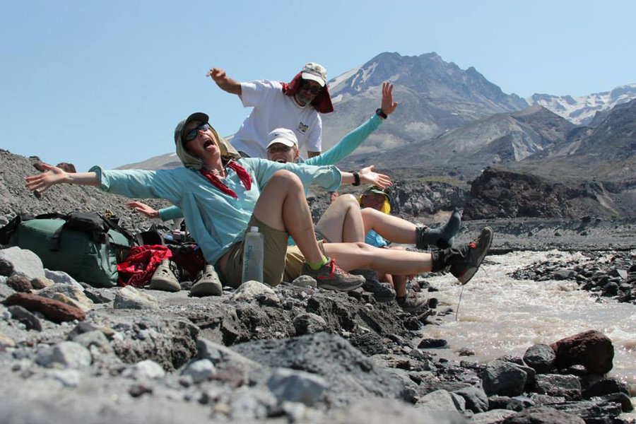
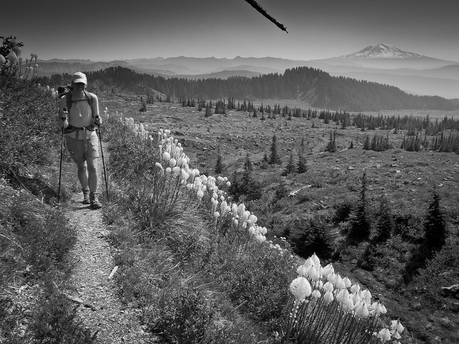
Goat Rocks - Central
35 miles of hiking • 6000' elevation gain • 2 nights
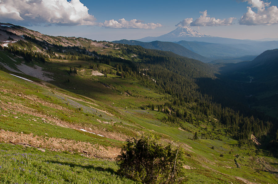
Beautiful trip into the Goat Rocks for peak wildflowers, animals, and sunsets. Full report on the blog.
August 4 – August 6, 2013

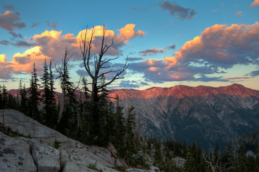
Nannie Ridge - Walupt Creek Loop
22 miles of hiking • 3000' elevation gain • 1 night
Full report on the blog
July 30 – July 31, 2013

Roman Nose
6 miles of hiking • 2000' elevation gain •
Fun scramble to the top of a former lookout tower location in the Idaho Selkirks. A small portion of this hike was on-trail; the vast majority was off-trail.
July 22, 2013

Box Camp - Black Marble Mountain Loop
17 miles of hiking • 5250' elevation gain •
A mistake at the beginning of the hike put us on the wrong foot. We spent 3 hours bushwhacking up the Box Camp ridgeline before intersecting the PCT and then swinging around to the Marble Valley. Full report on the blog.
July 6, 2013

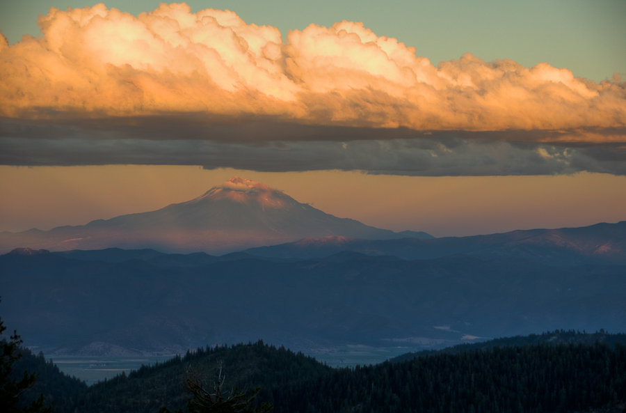
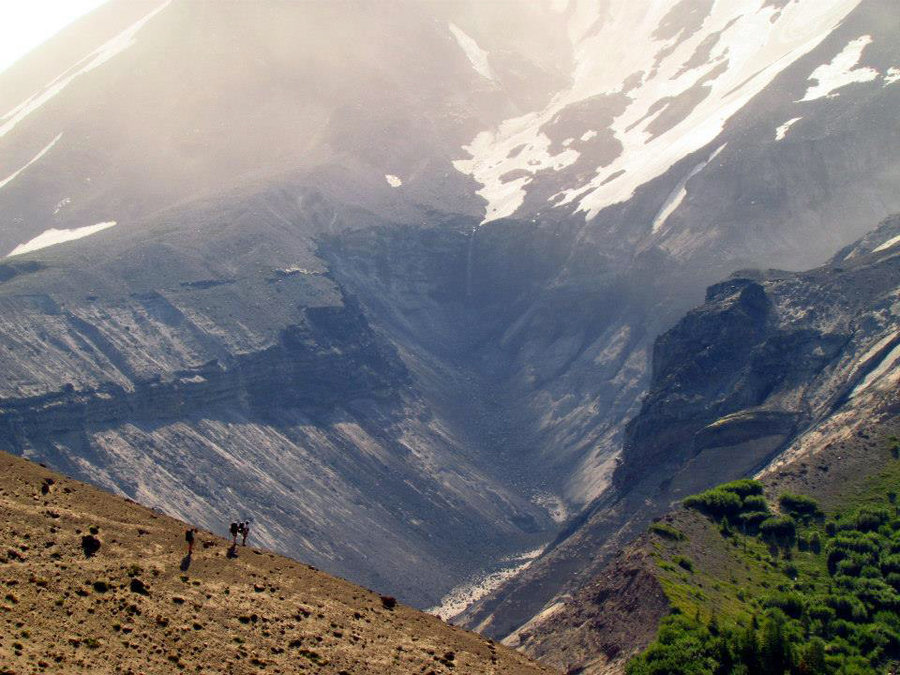
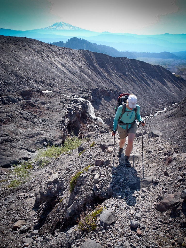
Loowit Loop
30.5 miles of hiking • 6000' elevation gain • 2 nights
A very hot hike around Mt. St. Helens. The full report is on the blog.
June 30 – July 2, 2013

Grassy Knoll and Beyond
6 miles of hiking • 1500' elevation gain •
A quick, beautiful hike to Grassy Knoll.
June 22, 2013

June 21, 2013

Hamilton Mountain
7.5 miles of hiking • 2000' elevation gain •
A clear, beautiful day for a hike with friends.
June 15, 2013

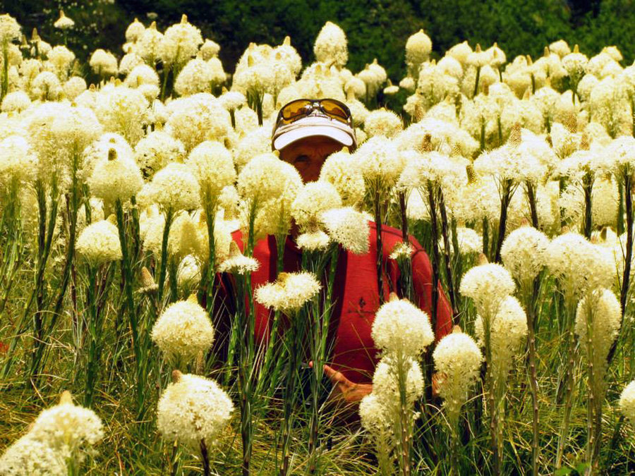
Little Baldy
8.5 miles of hiking • 1750' elevation gain •
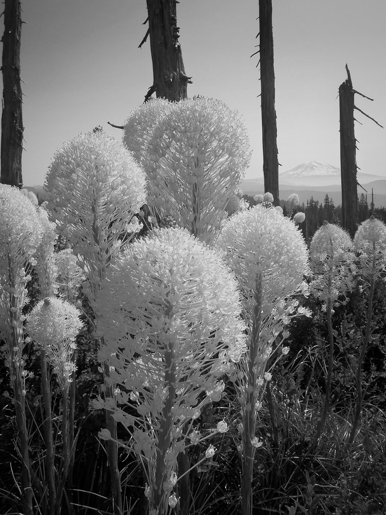
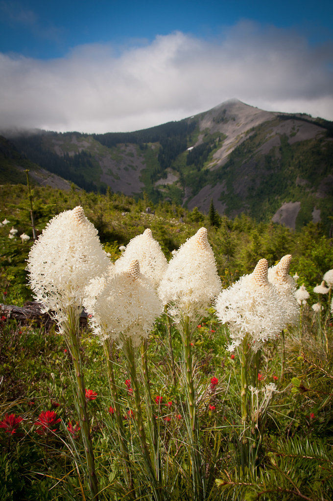
A vision quest pit, a geocache, an eagle, beargrass, and perfect weather.
June 9, 2013

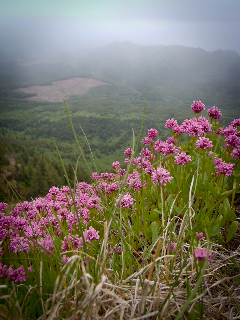
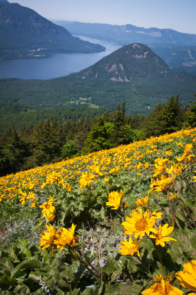
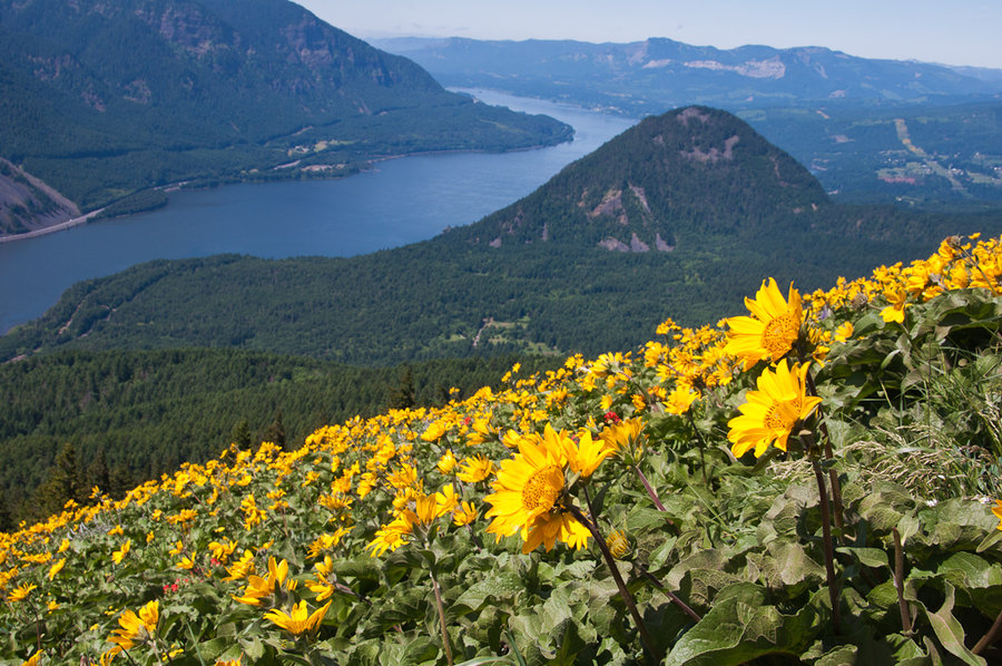
Saddle Mountain
6 miles of hiking • 1750' elevation gain •
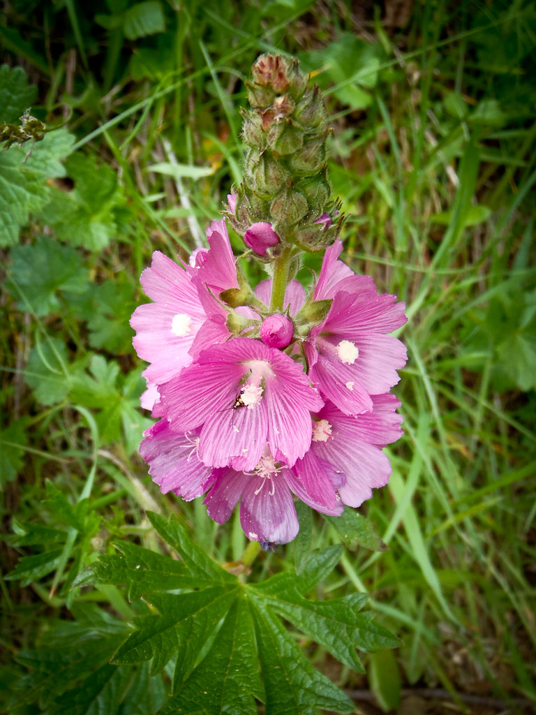
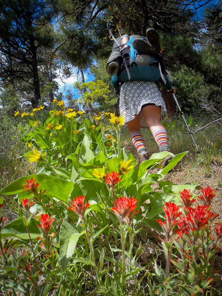
No days for views, but a great display of wildflowers. Full report on the blog.
June 7, 2013


Little Badger Creek Loop
10.5 miles of hiking • 3000' elevation gain • 1 night
A perfect night out in the Badger Creek Wilderness in the spring.
May 31 – June 1, 2013

May 20, 2013

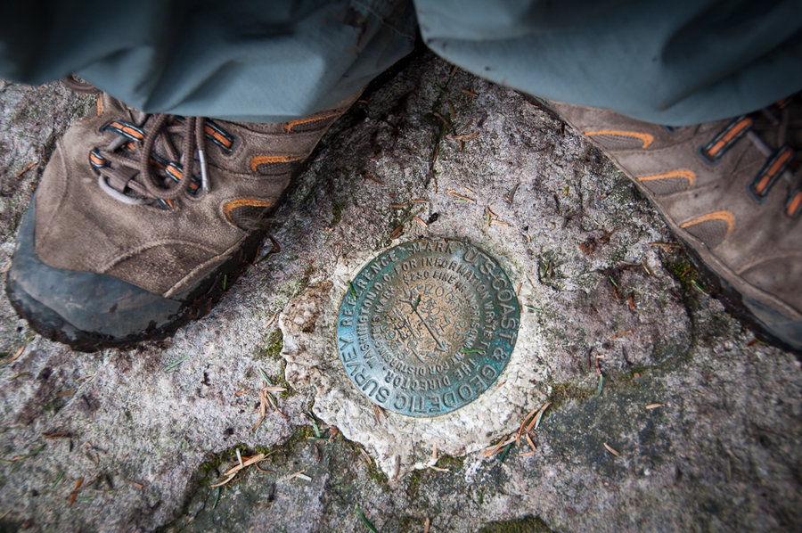
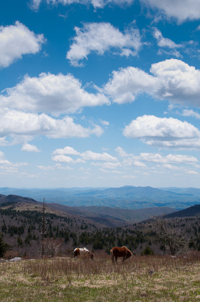
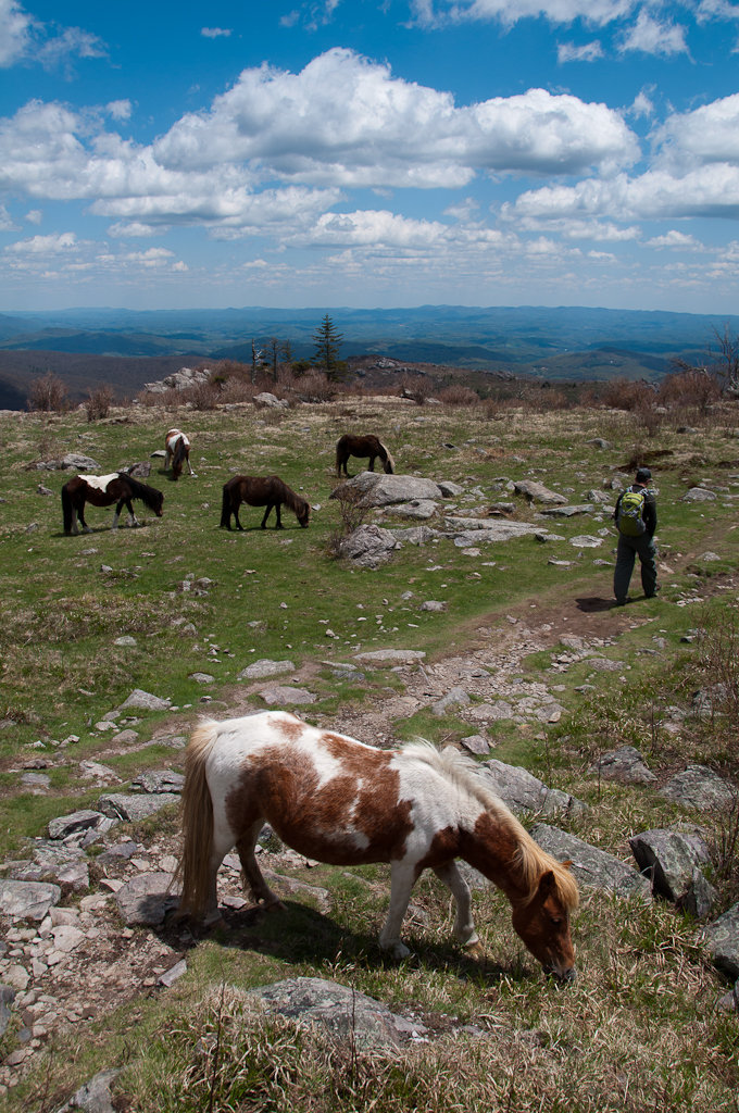
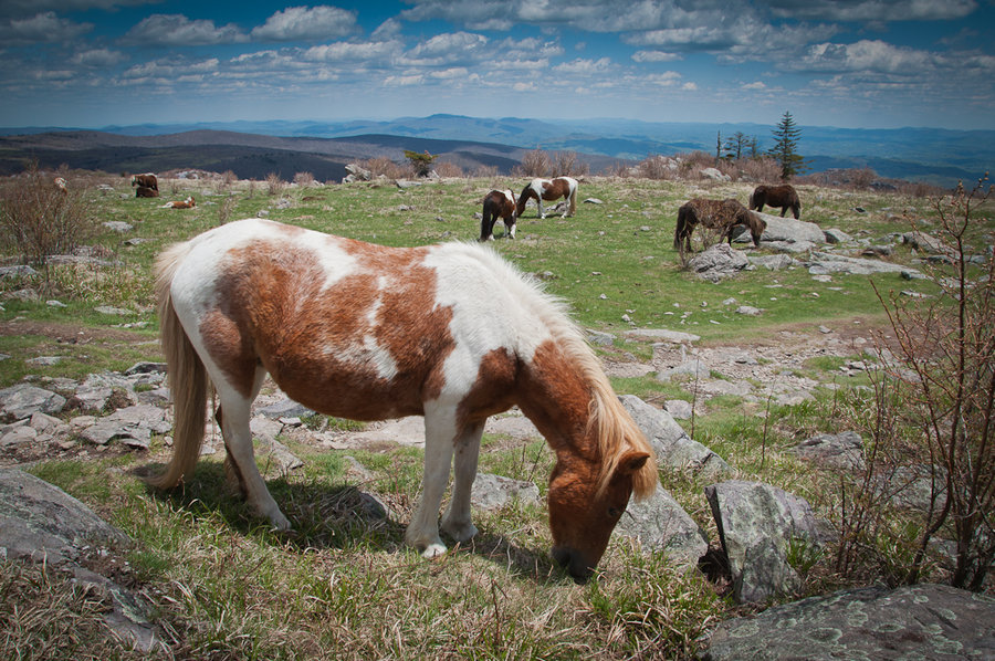
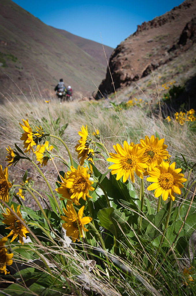
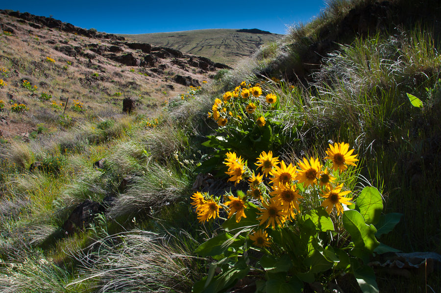
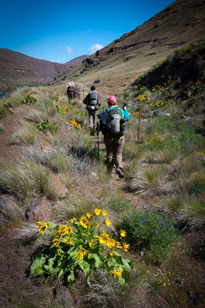
Grayson Highlands Ponies - Mt. Rogers
9 miles of hiking • 2000' elevation gain •
A climb up the highest peak in Virginia (5,729') with the bonus of seeing many, many ponies. Full trip report on the blog.
May 13, 2013

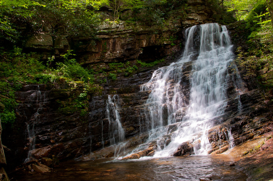
Margarette Falls
3 miles of hiking • 500' elevation gain •
A very beautiful waterfall near my parent's house in east Tennessee.
May 12, 2013

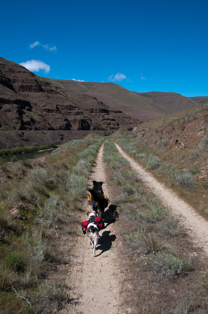
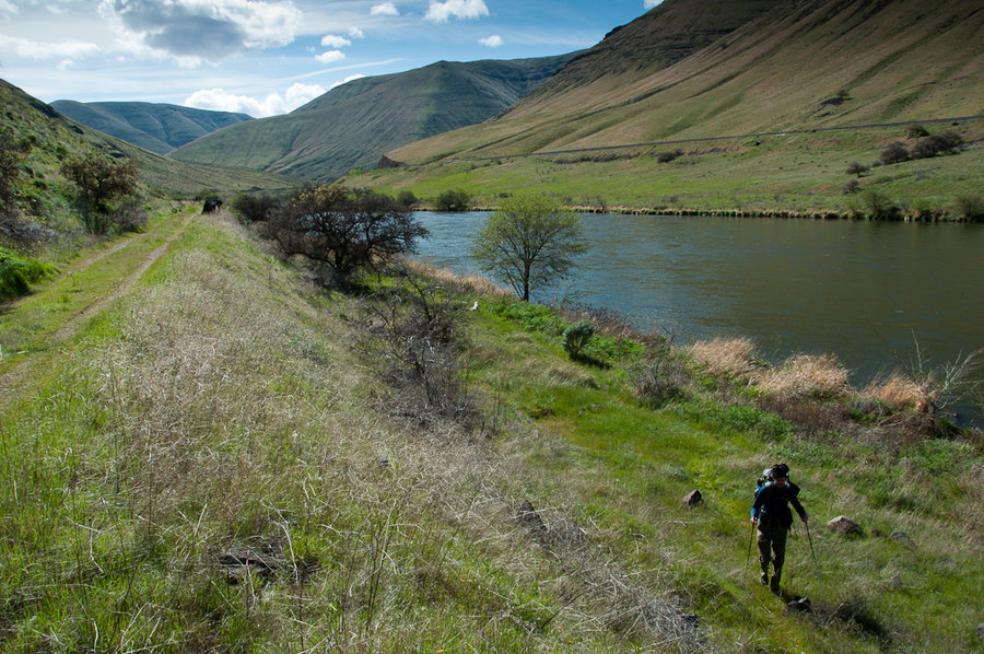
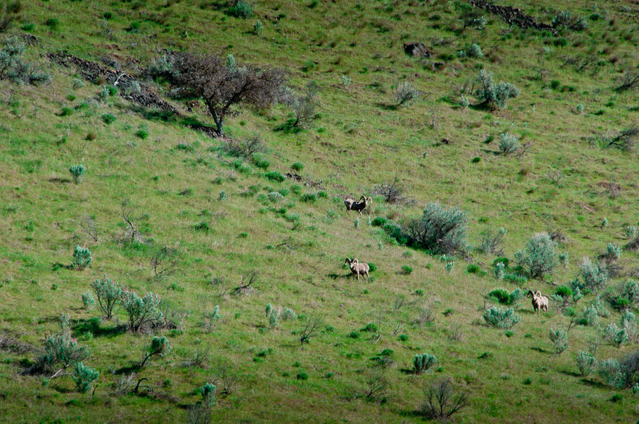
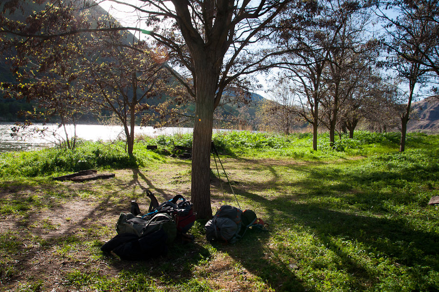
Mack's Canyon - Harris Ranch O+B
30 miles of hiking • 500' elevation gain • 1 night
A good early season leg stretcher with good friends, good bourbon, and clear skies. Full trip report on the blog.
April 13 – April 14, 2013

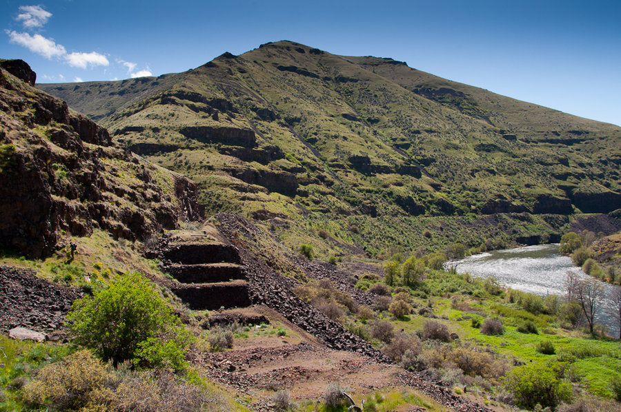
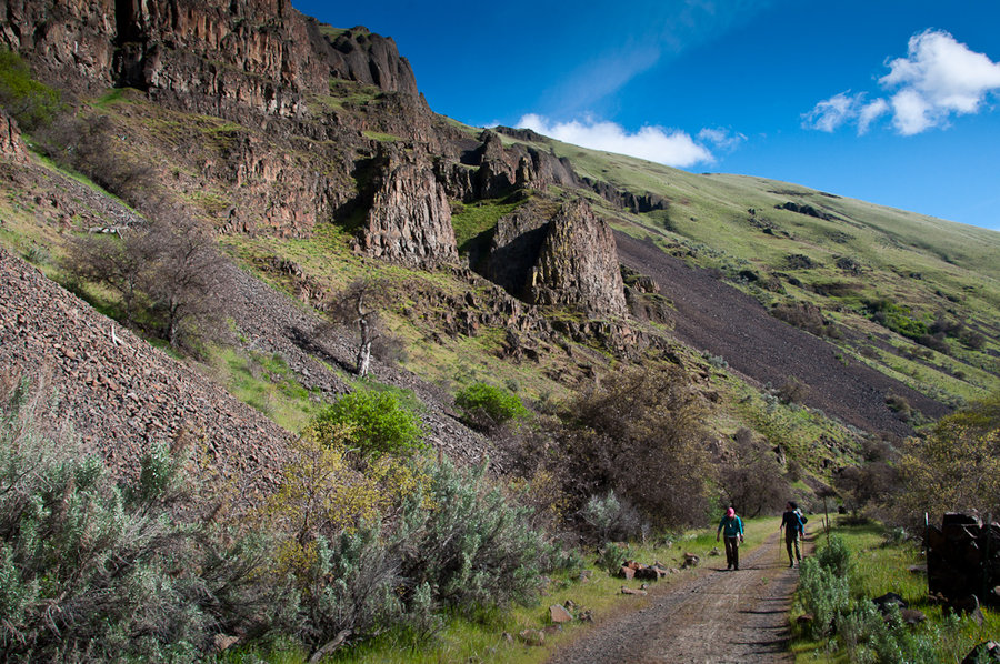
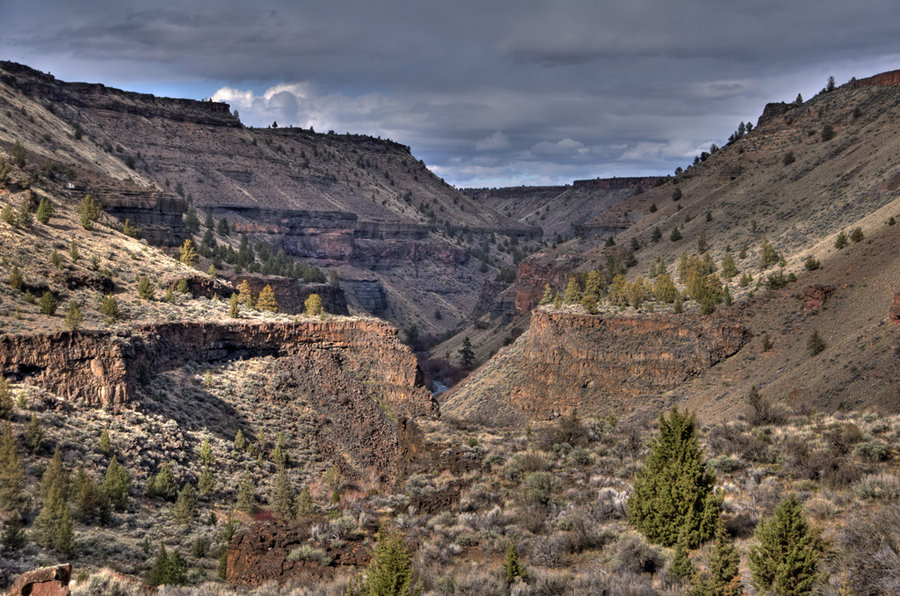
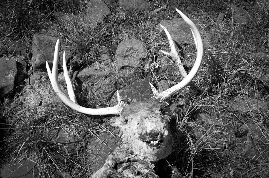
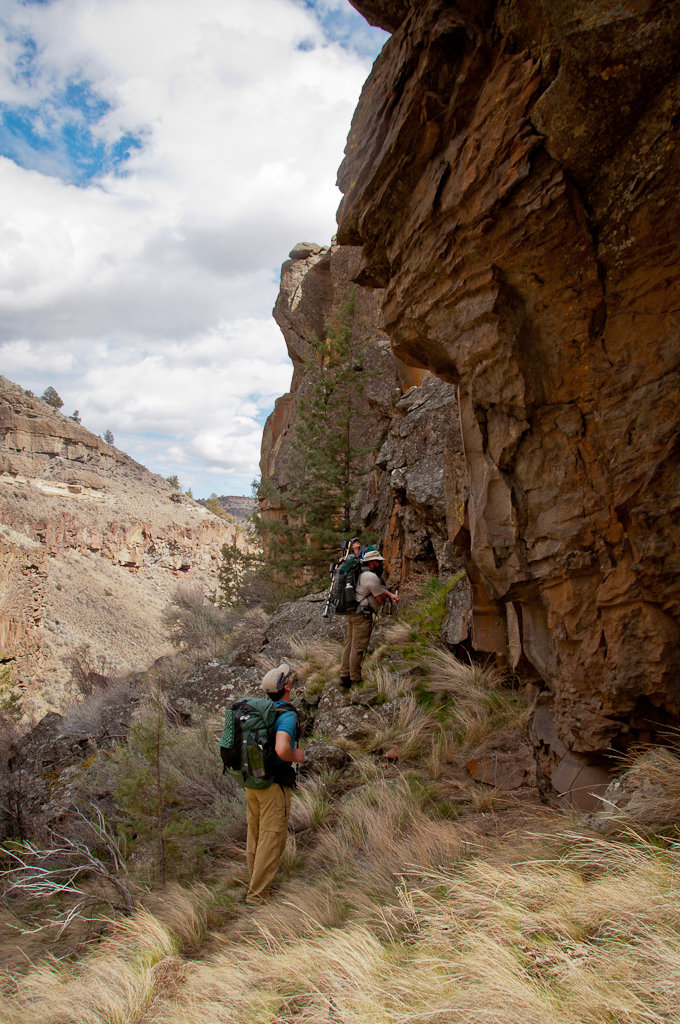
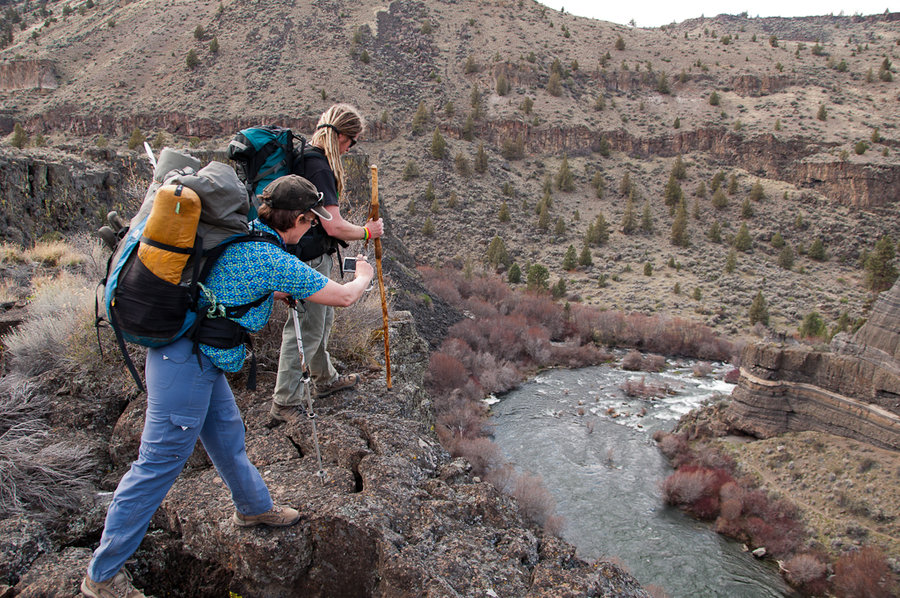
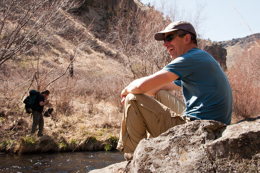
Crooked River Grasslands
13.5 miles of hiking • 2000' elevation gain • 2 nights
A wonderful early (early) season backpack exploring game trails and the geology of the Deschutes River canyons.
March 29 – March 31, 2013


Pumice Plain
8 miles of hiking • 2000' elevation gain • 1 night
Overnight snow camp on the pumice plains above Butte Dome Camp. Full trip report on the blog.
March 23 – March 24, 2013

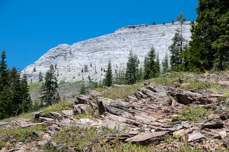
Termination Point
8 miles of hiking • 1500' elevation gain •
A sloggy march to the quarry below Termination Point in the Wind River range. Beautiful snow and solitude.
February 23, 2013

February 17, 2013

February 15, 2013

Tilly Jane - Cloud Cap Loop
8 miles of hiking • 2500' elevation gain •
Excellent sunny day on the mountain. Full trip report on the blog.
February 10, 2013

Kalama Loop
8 miles of hiking • 1250' elevation gain •
Sunny, warm February day with snow the consistency of mashed potatoes.
February 2, 2013


January 20, 2013

Lookout Mountain (Ochoco Mountains)
12 miles of hiking • 2500' elevation gain •
A beautiful sunny day in the Ochoco Mountains. Full trip report on the blog.
January 19, 2013

Palmateer Point
5.5 miles of hiking • 1000' elevation gain •
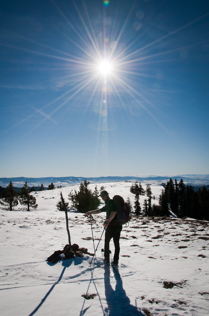
With the right conditions, this is a really rewarding ski / snowshoe tour from either Barlow Pass or Frog Lake. We did it as a 5.5-mile RT ski tour from Barlow Pass. We followed the PCT south to the junction with the Upper Twin Lake trail, dove off-trail after a few hundred meters, and made our way down to Palmateer Camp Meadows through old growth and second growth forest. From there we found the minor ridge that comprises Palmateer Point and climbed to the top. The air temperature never rose above 22 degrees F, which made for some lovely snow conditions. The base is really consolidated (icy in the trees), but there was between 2" - 6" of powder in the more open areas. The view from the Point was outstanding and, despite a full Sno-Park, we didn't see anyone until the very end of the trip near the trailhead.
January 12, 2013

June Lake - Swift Creek Loop
6 miles of hiking • 1000' elevation gain •
A nice day for a quick trip to June Lake. Up the Pine Marten Trail, down the Swift Creek Trail.
January 6, 2013

Newton Creek Canyon
8 miles of hiking • 2500' elevation gain •
The first day of 2013 was incredible in Newton Creek Canyon.
January 1, 2013