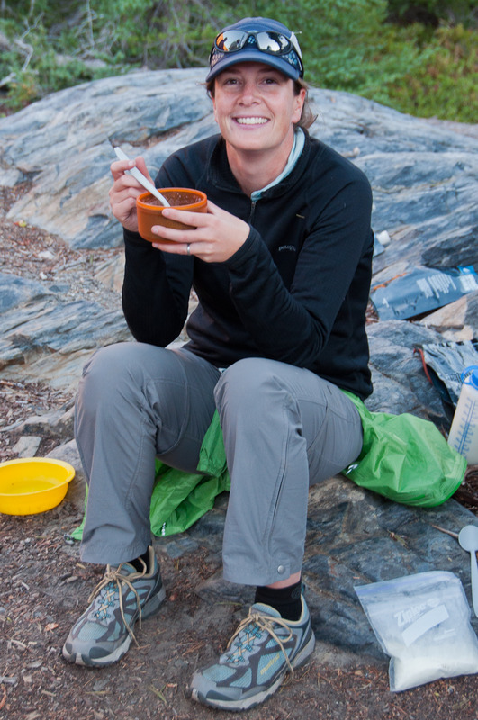
2011 Trips


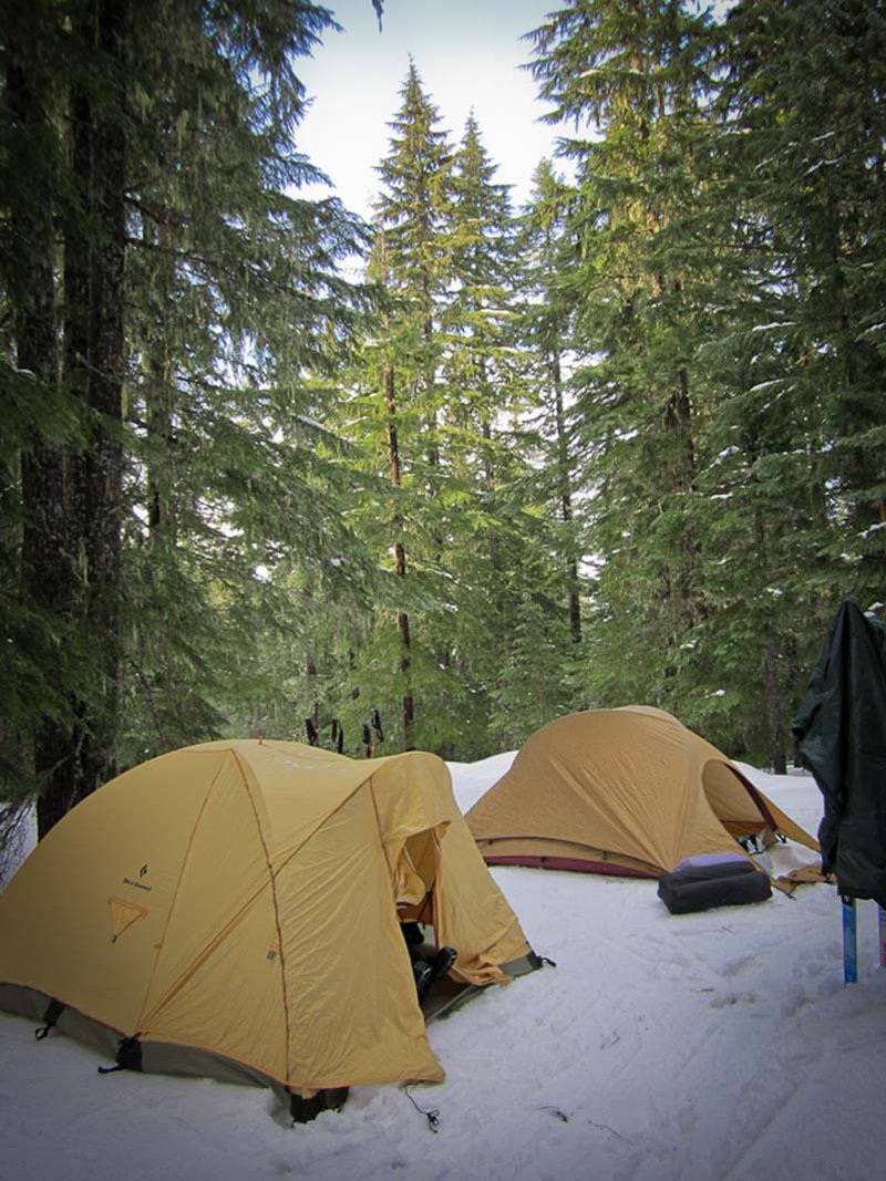
May 19 – May 21, 2011

April 30, 2011

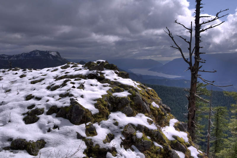
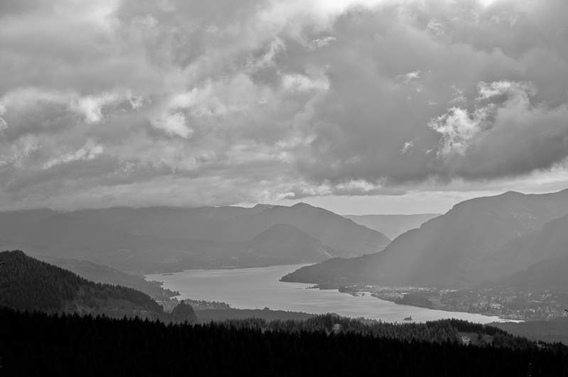
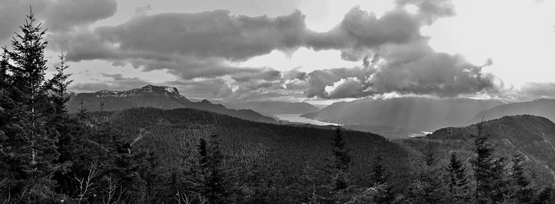
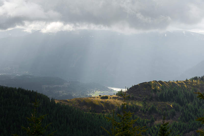
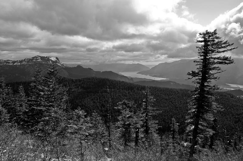
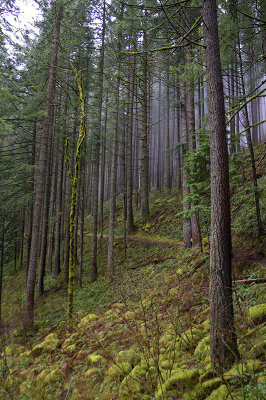
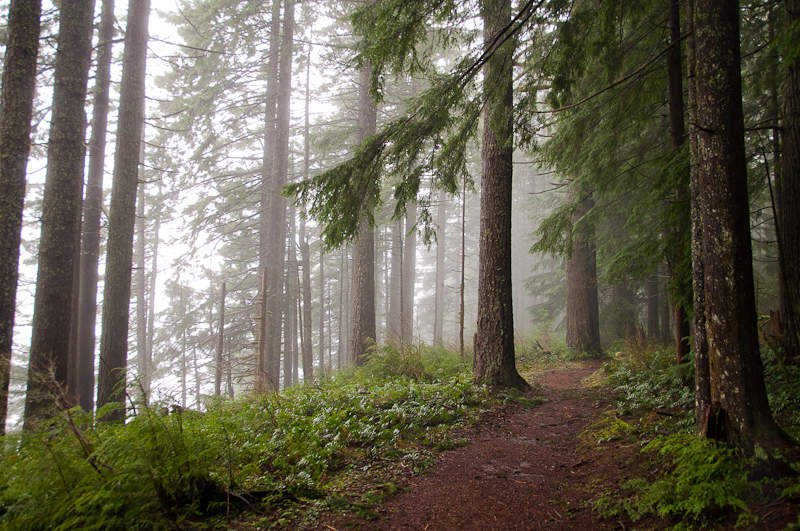
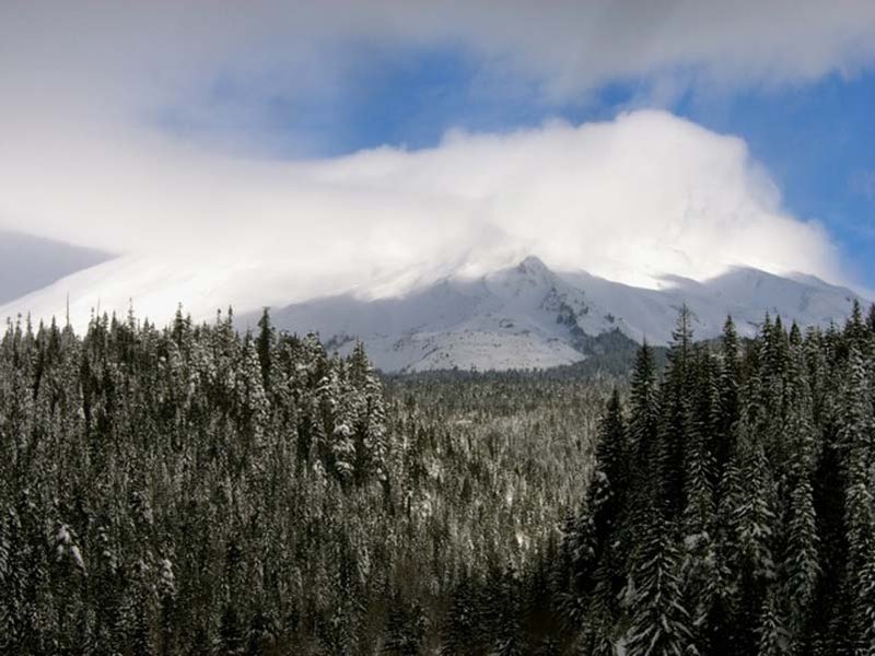
Hamilton Mountain
7 miles of hiking • 2500' elevation gain •
I've never hiked Hamilton Mountain when there are leaves on the trees. This hike was no exception.
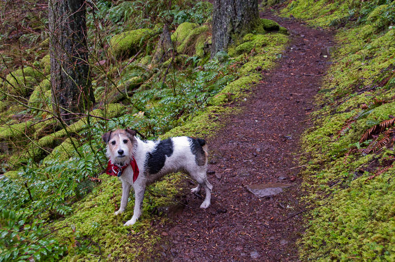
April 23, 2011


April 16, 2011

April 15, 2011

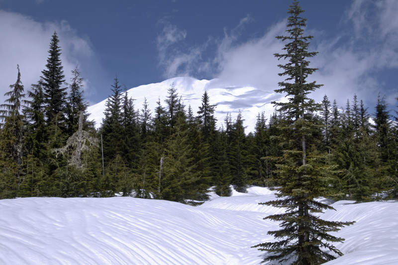
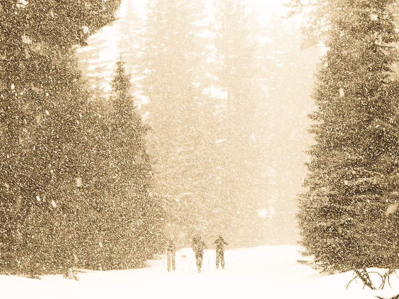
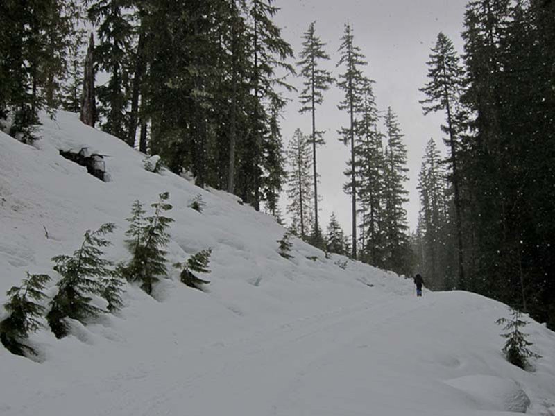
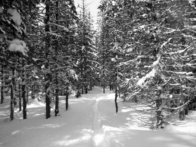
Twin Buttes Loop
7 miles of hiking • 1500' elevation gain •
Off-trail ramble in the foothills of Mt. Adams starting from the Snow King sno-park.
April 3, 2011

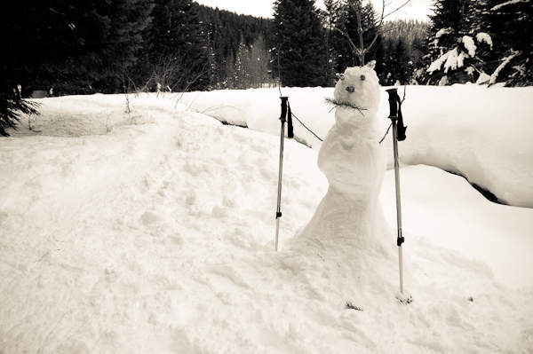
March 20 – March 21, 2011

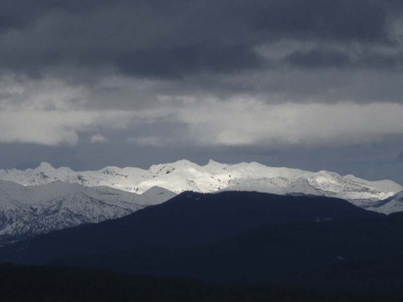
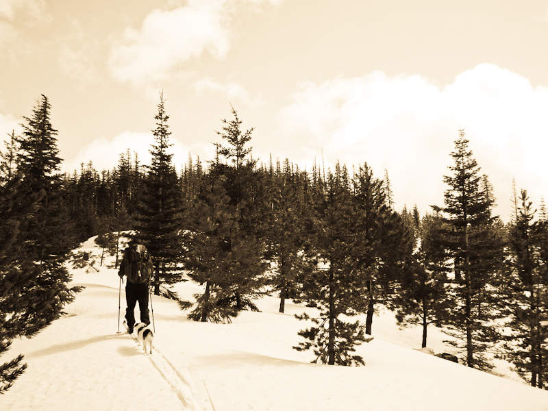
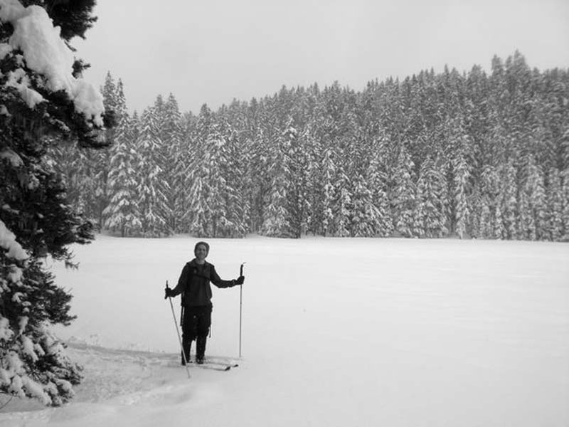
Twin Lakes Loop
10 miles of hiking • 1500' elevation gain •
Around Lower and Upper Twin Lake from Frog Lake sno-park.
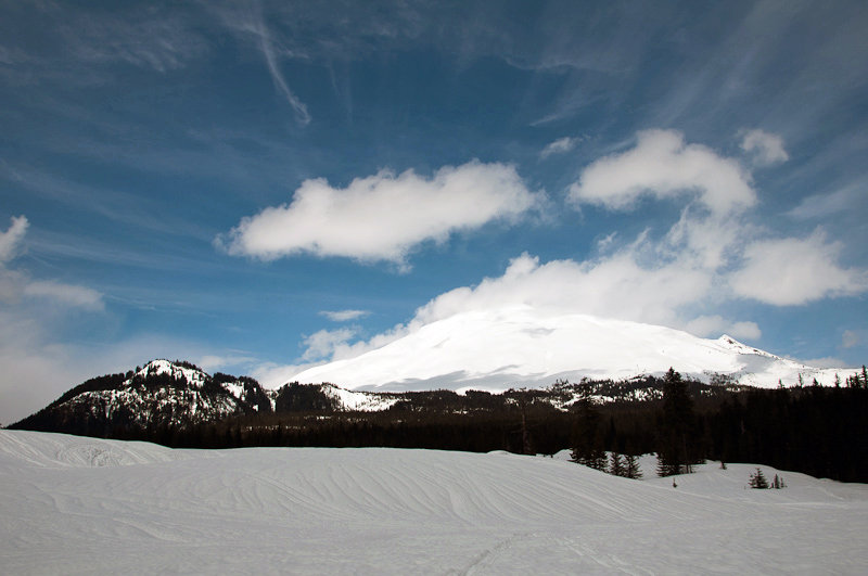
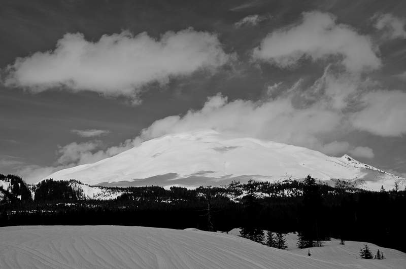
March 4, 2011

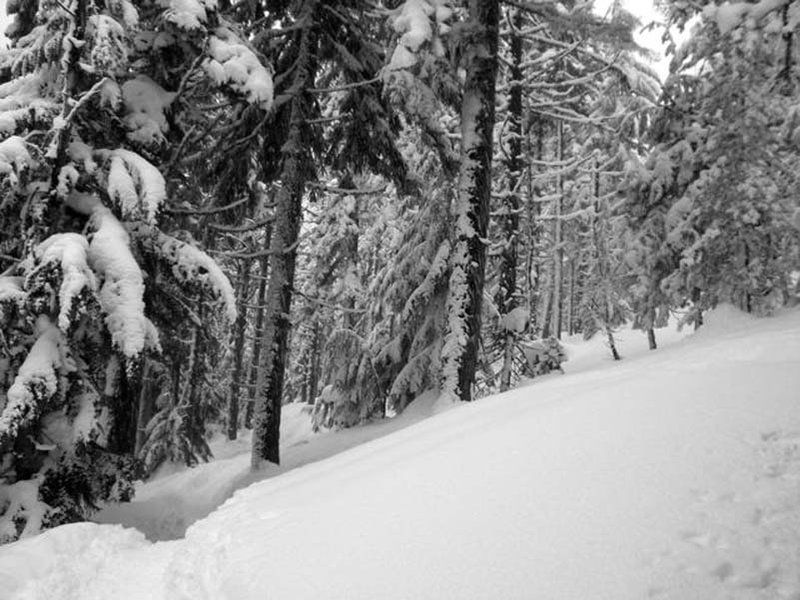

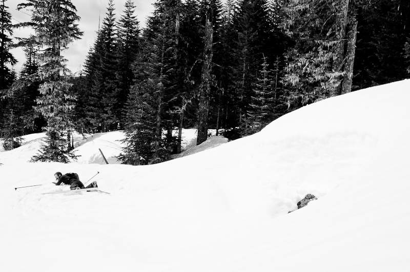
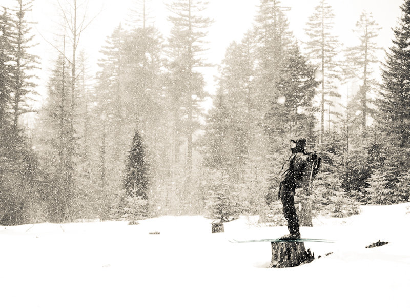
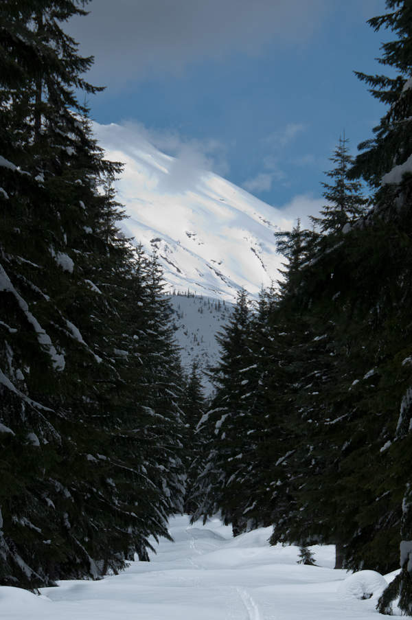
Sasquatch Butte
6.5 miles of hiking • 1000' elevation gain •
A loop on the Sasquatch trails. Snow was really heavy and the weather was spotty.
February 20, 2011


February 9, 2011