

2012 Trips


Zou Ma farm hills
1.5 miles of hiking • 0' elevation gain •
In tiny town in Chinese countryside hiked with girlfriend. Walked the dirt paths going through all the little farms on terraced hillsides with rice paddies and a resevoir below.

July 6, 2012

Muni Valley and horse trek
4 miles of hiking • 0' elevation gain • 1 night
Horse trek through Tibetan areas of Sichuan Province. But we had to walk some of the steeper declines. The we hiked in Muni Valley National Park where calcite-rich ponds look emerald and jade. The hot spring was fairly cool in temperature.
July 2 – July 3, 2012

Tiantai Mountain
4 miles of hiking • 0' elevation gain •
Nice place for day hikes. Some level riverside walks higher up. Standard leg-burning, steep hike with waterfalls near the bottom. Didn't check out all the way to the top of the valley. Did some road walking.
May 19, 2012

Qingcheng Mountain, "Back Yard"
5 miles of hiking • 0' elevation gain •
Went through the back gate of this day hike mountain. Lots of cascades and waterfalls. Took cable cars to other side of loop to hike down. Went through very narrow gorge that had concrete plankway and steps above a stream that rushed downward.
April 15, 2012
 2
2
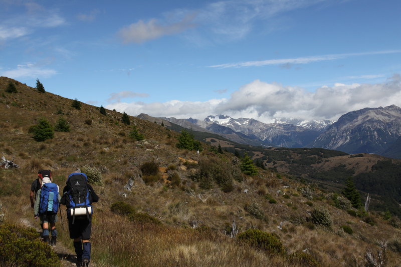
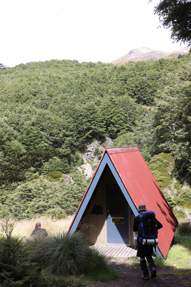
Cass Lagoon Loop
18.5 miles of hiking • 0' elevation gain • 1 night
Went with Canterbury Tramping Club. Hiked through tussock and beech forests on a loop. On mountains located across the river from entrance from Arthur's Pass National Park. Nice blue skies, not too much wind despite forecast. Got to use my Oware tarp again. Black flies are a problem, but not too bad in the mountains. Slept with head net and tightly tucked into my sleeping bag.
January 28 – January 29, 2012

Turtle Beach
2 miles of hiking • 0' elevation gain •
While in Penang, Malaysia for a few days I headed out to Penang National Park with some of my family. A 2 mile trail over the hills and through the jungle to Turtle Beach (yes, where they lay eggs). It started raining near the end, so we didn't get to enjoy the beautiful beach. There is usually a lake there that has a layer of fresh water and a layer of salt water. Took the boat back to the park entrance. Pleasant hike. Easy for fit people.
January 12, 2012

Cang Mountain, chairlift trail +
6 miles of hiking • 0' elevation gain •
Hiked up a pavered path above Dali, Yunnan, China. Early on had lots of Chinese tombs (it is China). Bypassed some guards to check out abandoned hermitage, I guess, on a cliffside. After that I found the main horizontal path following the mountain range (about half-way up). Headed back down from Zhonghe Temple along the trail that follows the chairlift. More tombs and tombstones. Had nice pine forests.
January 3, 2012
