50.5 miles of hiking • 14500' elevation gain • 3 nights
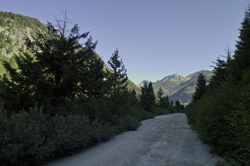
What a great little trip this is. The Spider Gap - Buck Creek Pass Loop is in the eastern half of Glacier Peak Wilderness, east of Seattle. Thursday evening, I took the 5ish hour drive up to the Trinity trail head. Beware - the last 13 or so miles are gravel, but they are fine so long as you have a decent truck or take them slow.
Day 1 - 15.0 mi., 5000'
I got started early in the morning, when it still was 40 degrees or so. A good sign for the bugs to come. Previous weeks reports were saying lots of flies and mosquitos so I was crossing my fingers. Fortunately, this trip turned out to have great weather and few bugs.
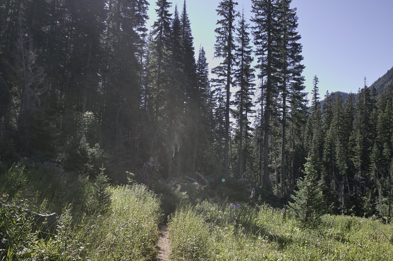
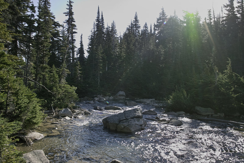
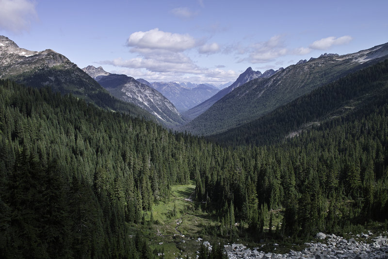
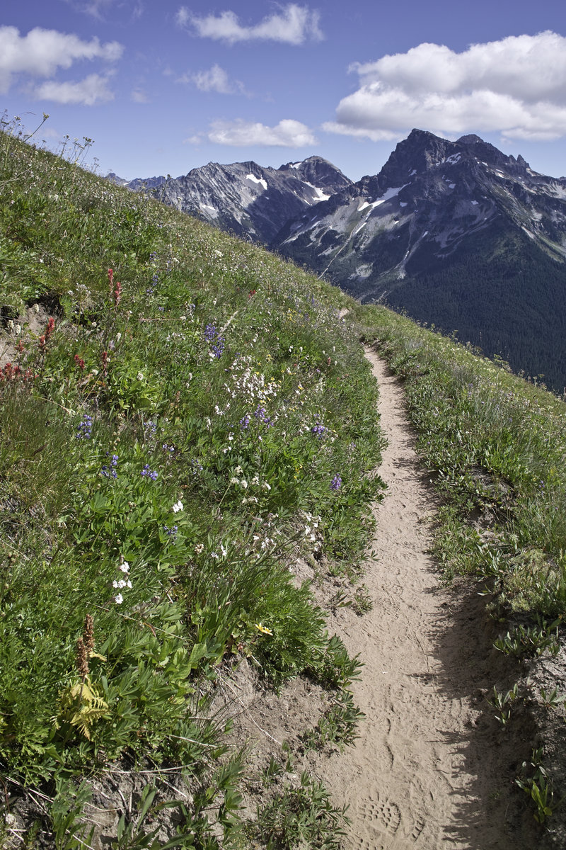
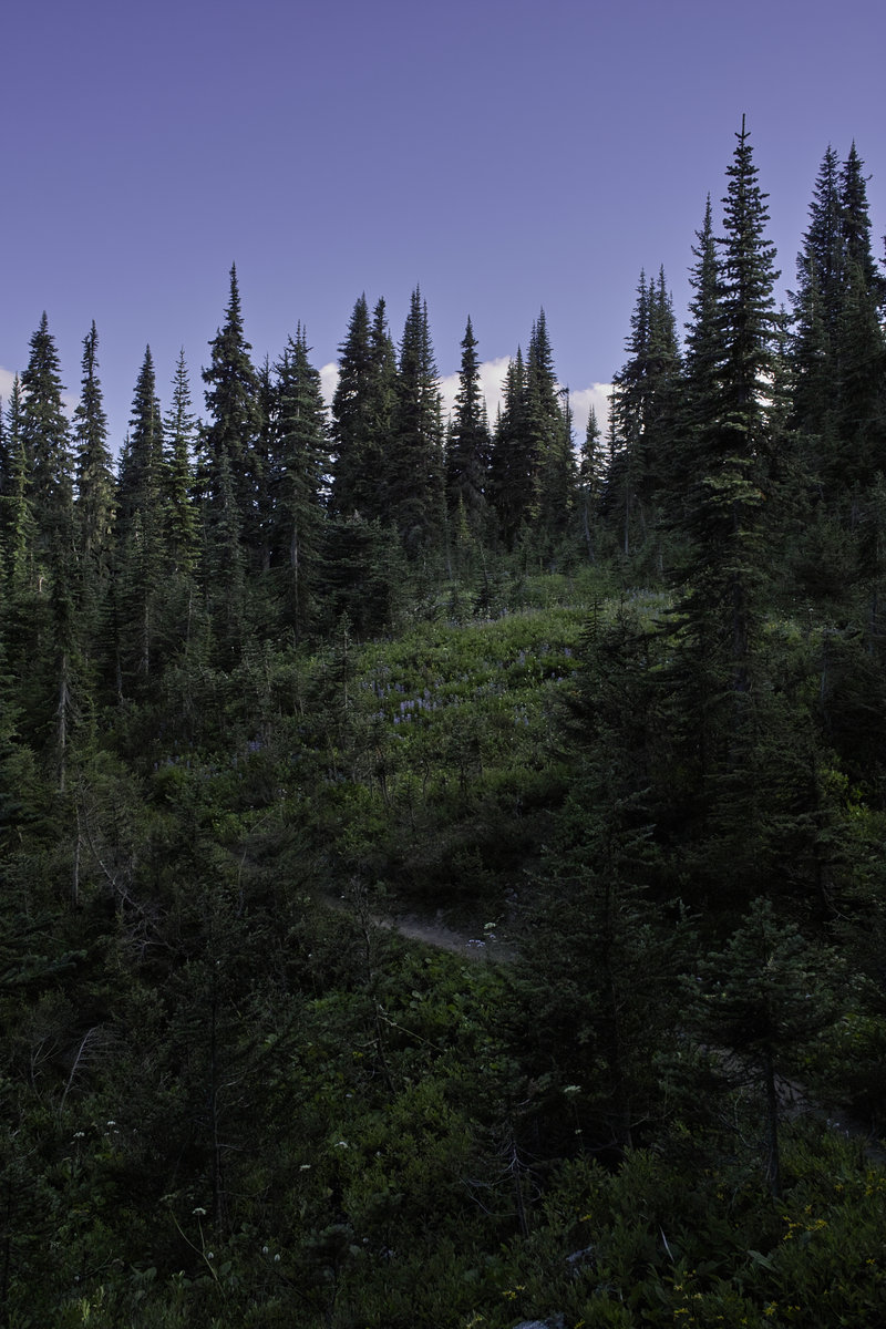
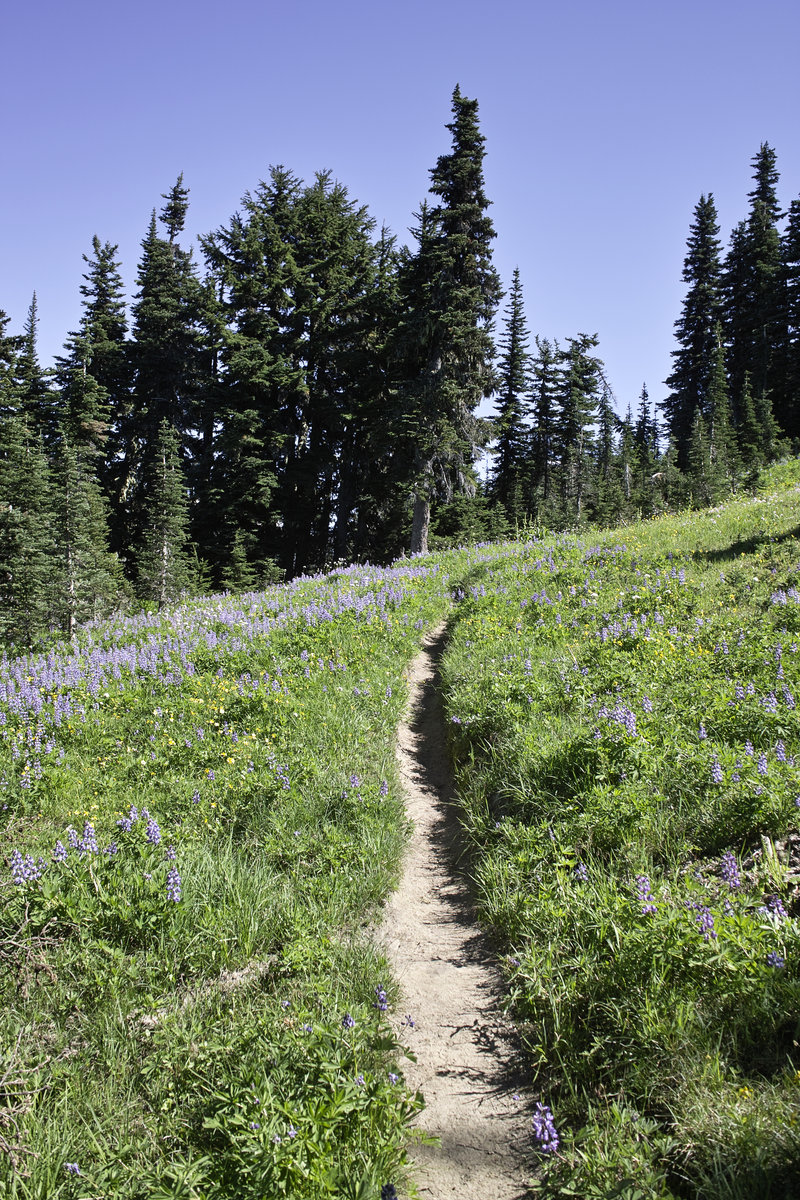
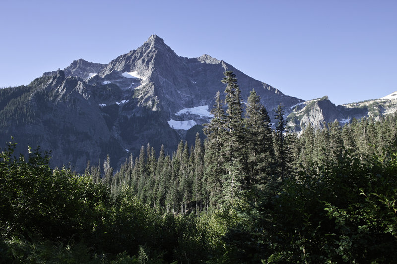
The loop, without a hitch, requires about 3 miles of road walking, uphill, so I decided to get it out of the way in the beginning. Plus, the road walk isn't so bad because of the great views. The trail begins in a wooded valley and climbs for several miles until it breaks out into Spider Meadows. The flowers were a bit past their prime, but were still nice nonetheless.
Because of the holiday weekend, many folks were out exploring these meadows for the day, but once I got past day-hike mileage, the crowds thinned out very nicely. In fact, that evening, I would only run into two other groups, and I would see no one after 4pm. Amazing!
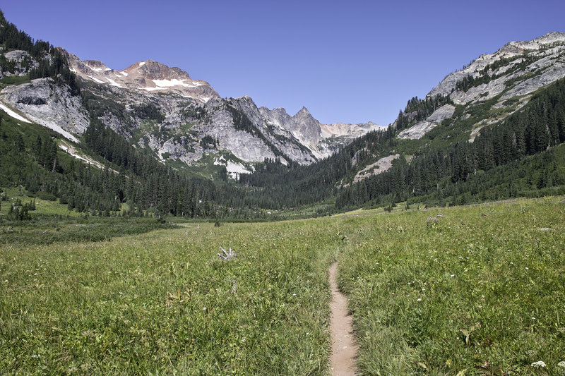
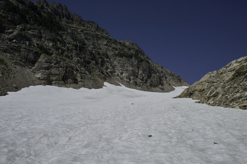
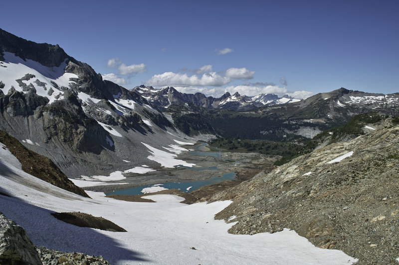
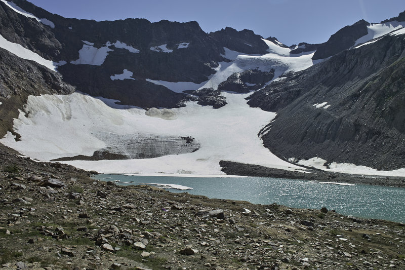
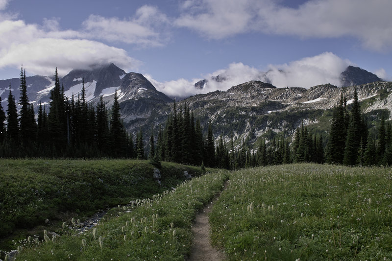
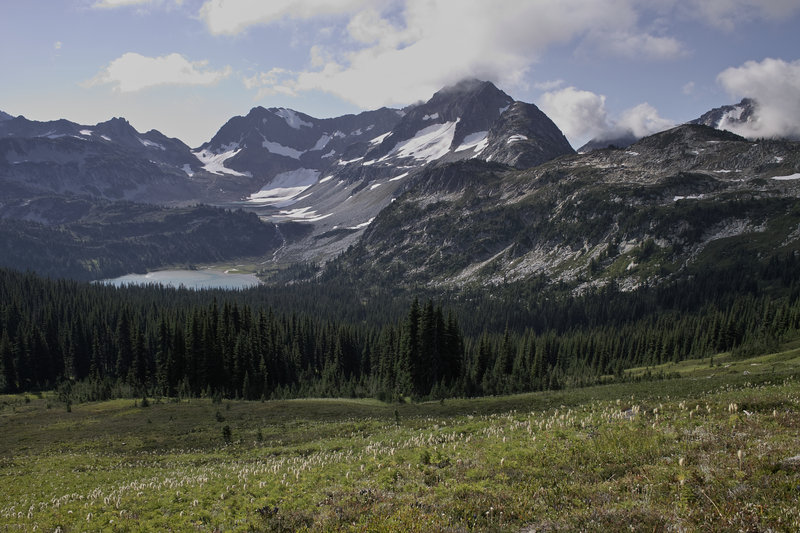
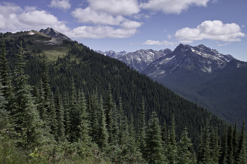
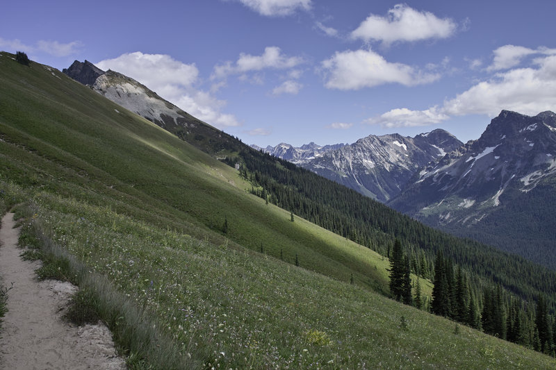
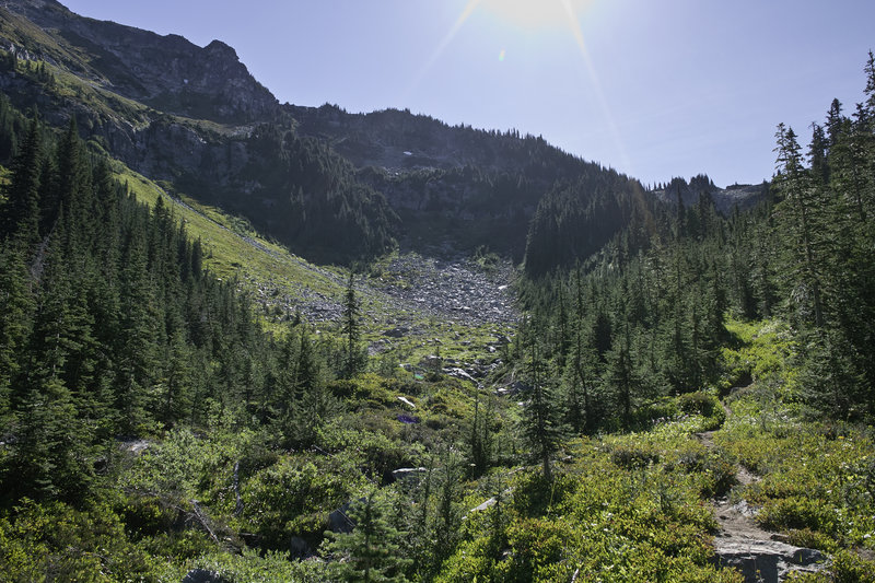
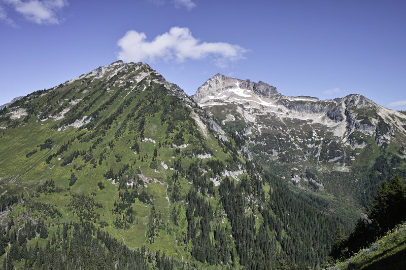
The trail climbs quickly out of the meadows and up a steep side of a hill, on a somewhat loose and exposed trail up to a ledge that evens out before the glacier starts. There are several campsites that overlook the meadows. From there, one climbs the glacier for about a quarter mile and several hundred feet to the pass. At the pass, Lyman Lakes come into view. This area reminded me a lot of Kings Canyon—a beautiful sparse landscape, and here turquoise glacial lakes.
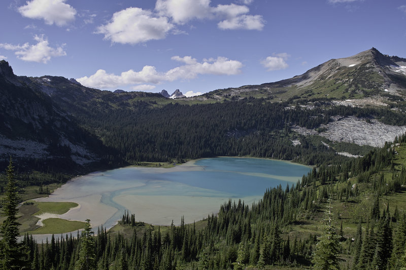
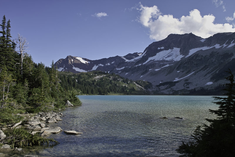
Several faint trails descend down into the first lakes—an easy routefinding challenge—and then eventually make their way down to Lyman lake. After a short nap, I wandered around the lower lake to find one of the many campsites. There had to be over 10 large campsites around the upper side of the lake, each unoccupied.
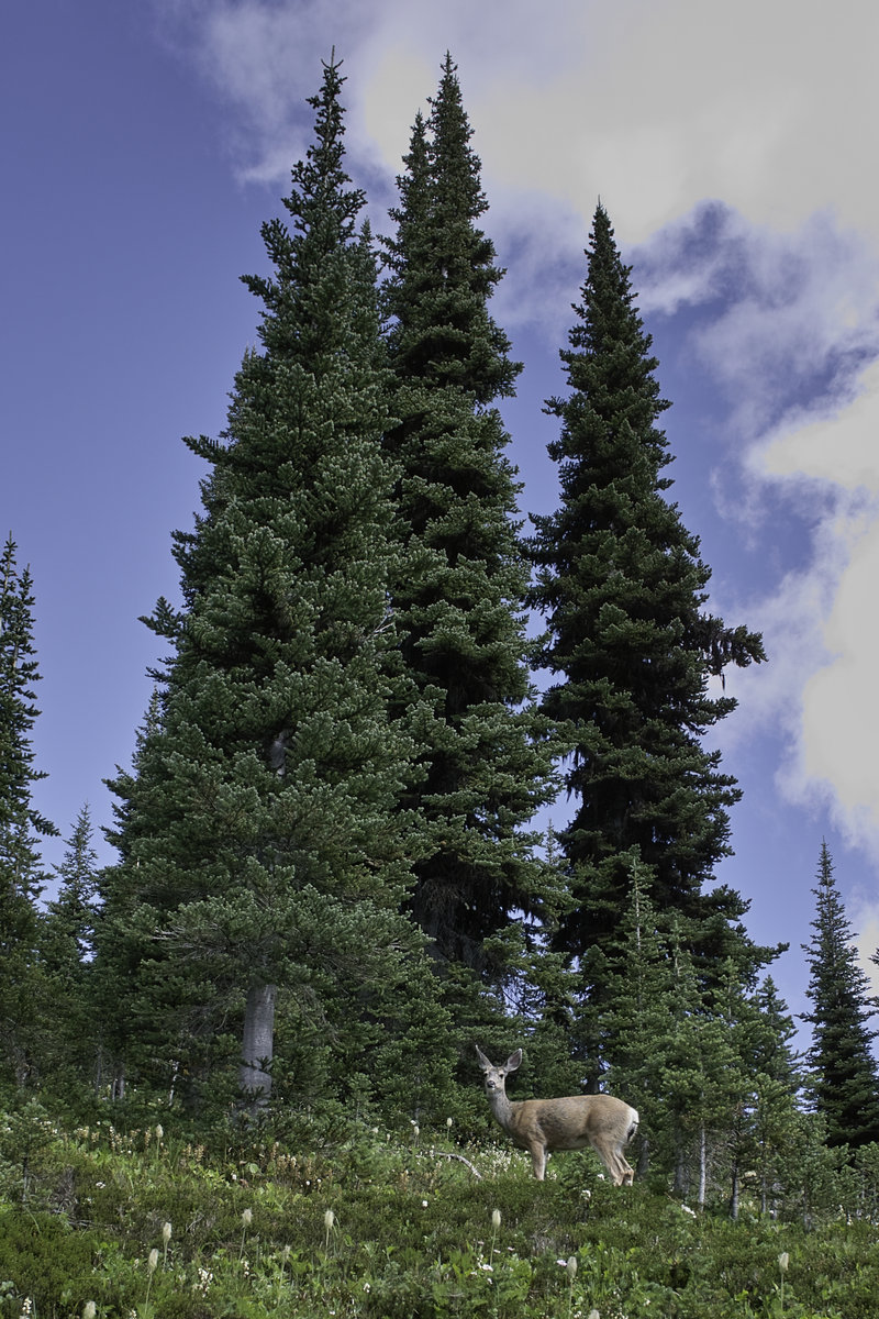
After some quick fishing and a small catch, I hit the hay. Unfortunately, a deer found my campsite appealing (she was licking the salt), and visited every hour or so until 4 in the morning. I yelled and banged on things, but she wouldn't go away.
Day 2 - 17.0 mi., 4500'
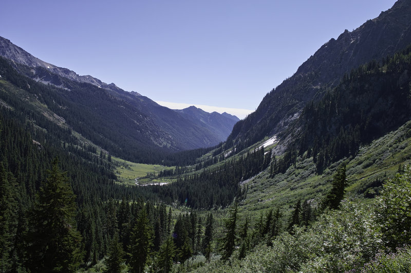
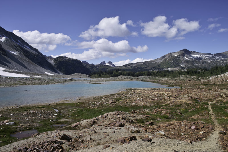
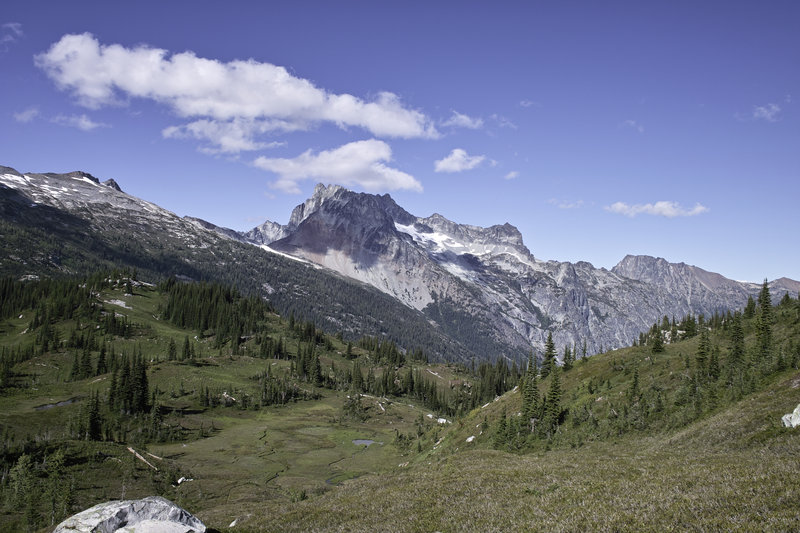
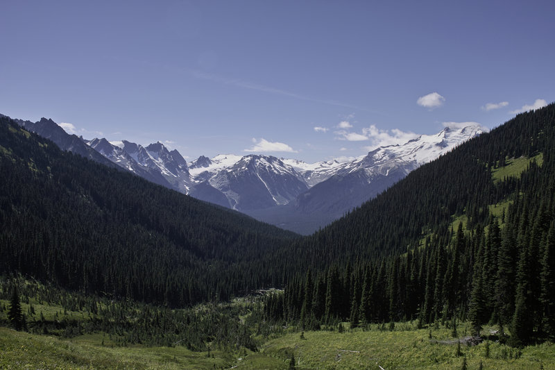
The trail climbs out from the lake and up toward Cloudy Pass, which had beautiful views of the mountains and back towards the lakes. From Cloudy Pass, one can take a fun narrow shortcut to Suiattle Pass, which has its own beautiful views.
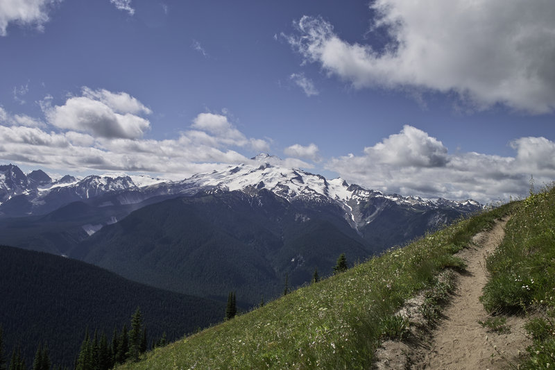
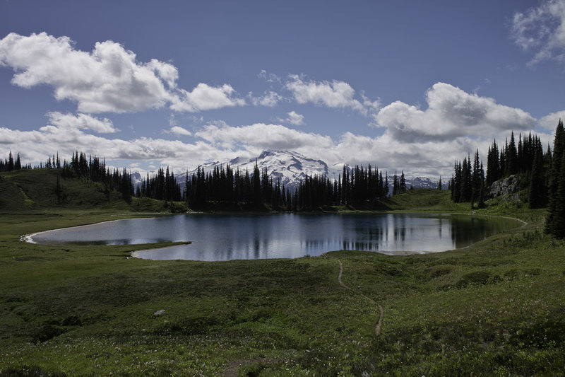
From there, I opted to take a side trip to Image Lake. The trail climbs Miner's Ridge and follows a Dog-mountain-like hillside to a small lake. On a calm day, you're supposed to be able to see Glacier Peak in its reflection, but it was pretty windy that day. Image lake had no fish, or at least no biting fish. From the lake, I headed up towards the lookout, but a narrow, precipitous bit of trail was a bit more than my exposure tolerance allowed, so I called it.
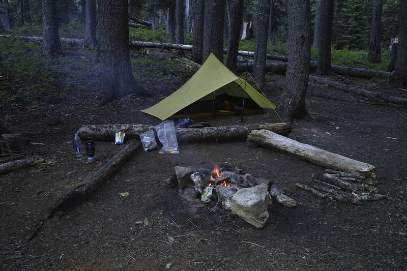
Wanting to see what Suiattle pass was really like, I headed back up toward the true pass and down the PCT for a bit. Realizing there wasn't water up there, and not having anything to cook with, I continued back down the loop and camped near a small creek.
Day 3 - 12.5 mi., 4500'
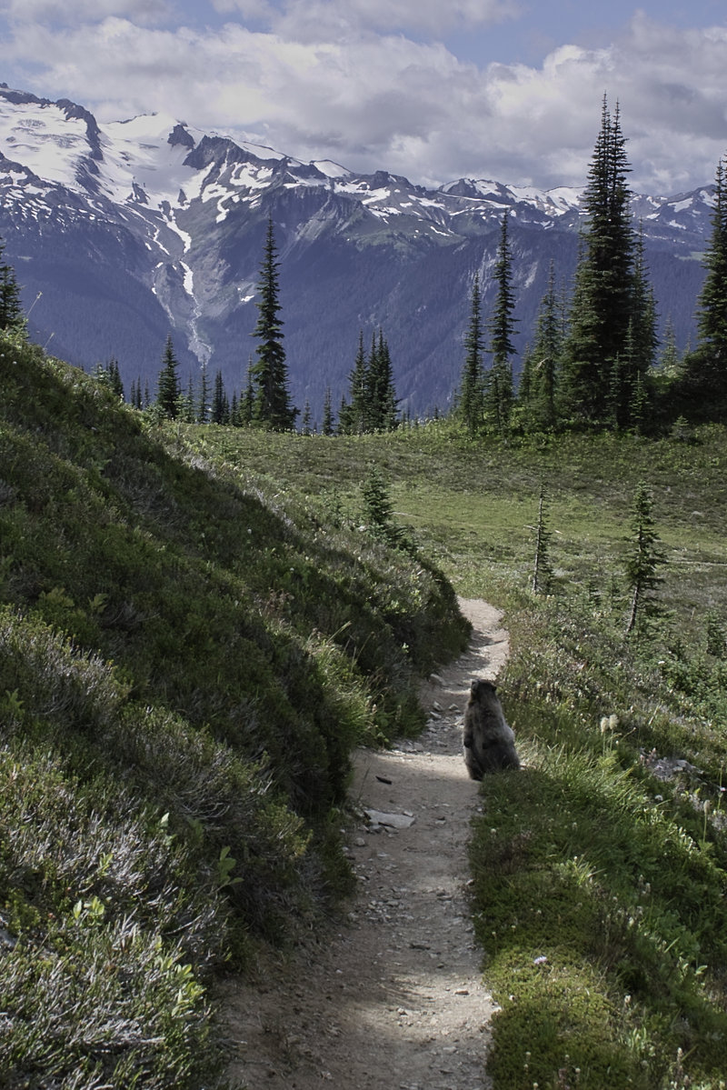
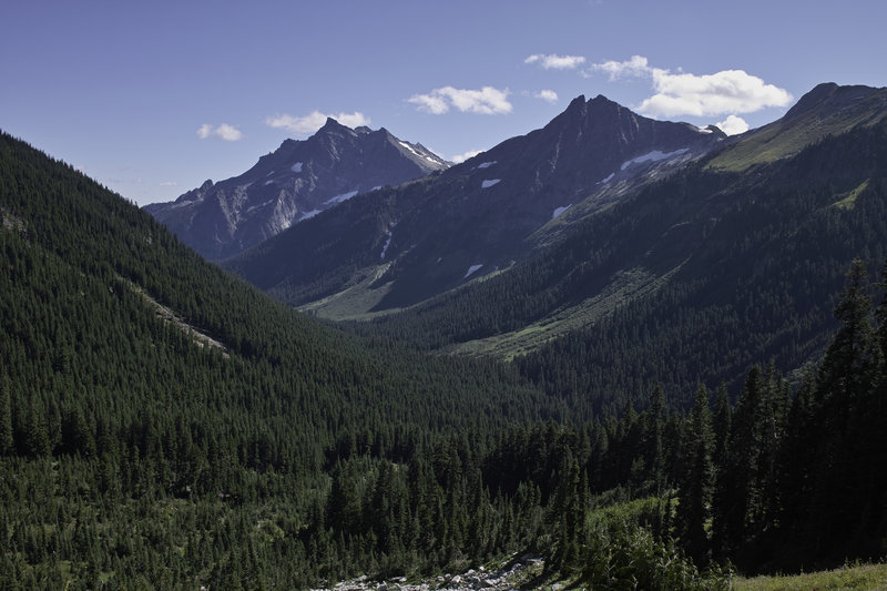
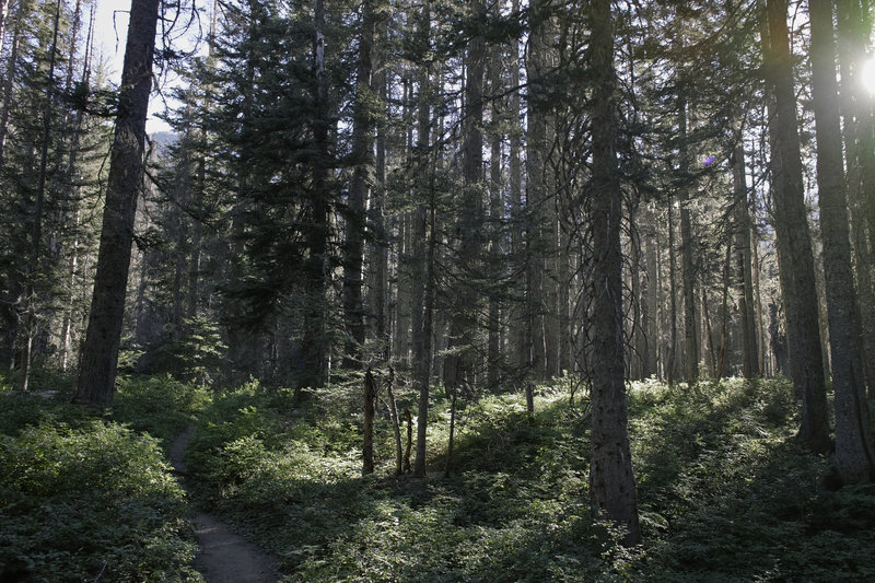
A late morning start was nice because the following few hours would involve several thousand feet of ups and downs. The trail climbs through forests and then meadows (full of happy pollenating bumble bees). After awhile, the trail finally reaches Buck Creek Pass. From there, I took the side trail up towards high pass. The trail snakes up Liberty Cap, and has great views towards Glacier Peak.
Wanting to get out quickly the next morning, I decided to cut my side trip short and start down the pass. From Buck Creek Pass, the trail becomes very dusty, filling my shoes! A few miles later, I would find a campsite, build a fire (that started extremely quick due to the dryness), and relax.
Day 4 - 6 mi., 500'
The final day was just a few miles back to the trailhead. The remaining miles were mostly wooded, but with great views of Buck Peak.
This is a great little trip and is definitely one worth considering for the 5-6 hour away trips range. Beautiful views, a fair amount of variety, and some nice hiking. I recommend it!