

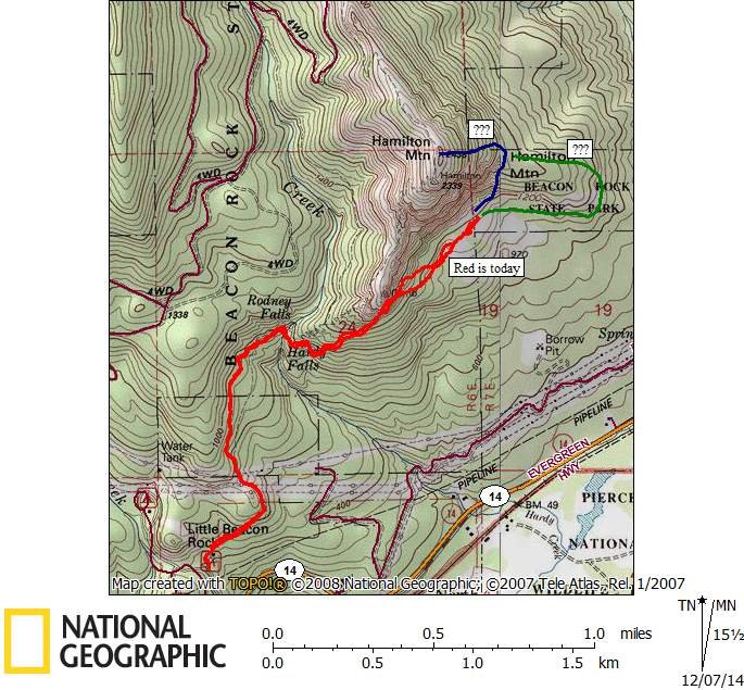
3.5 miles of hiking • 1250' elevation gain •
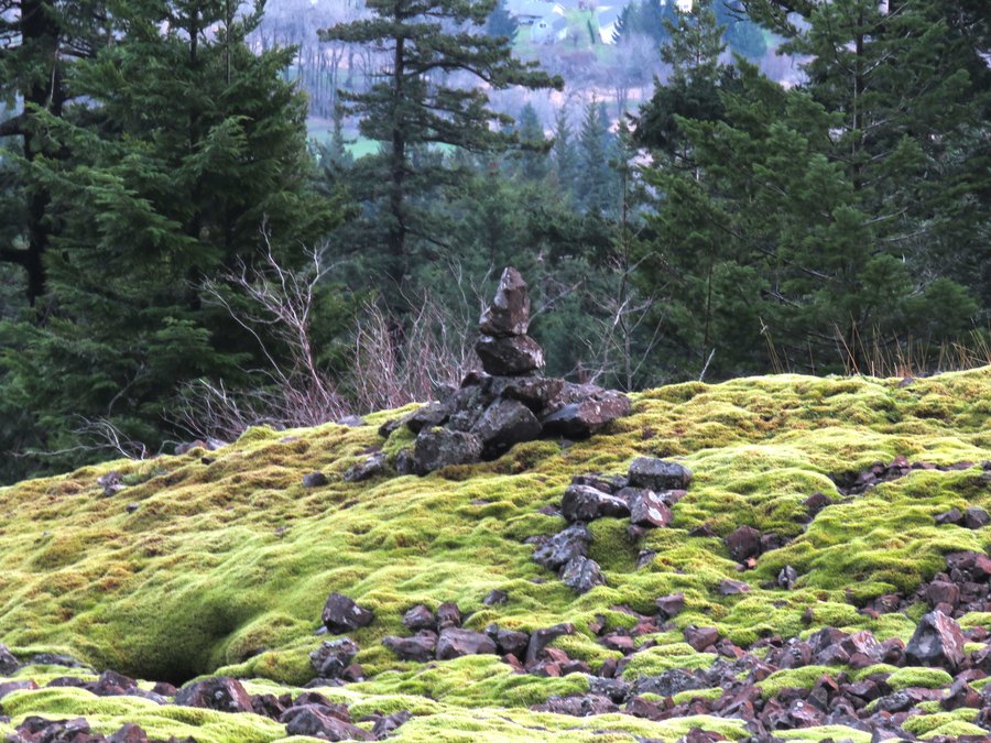
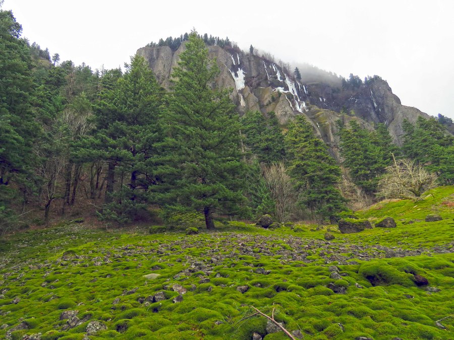
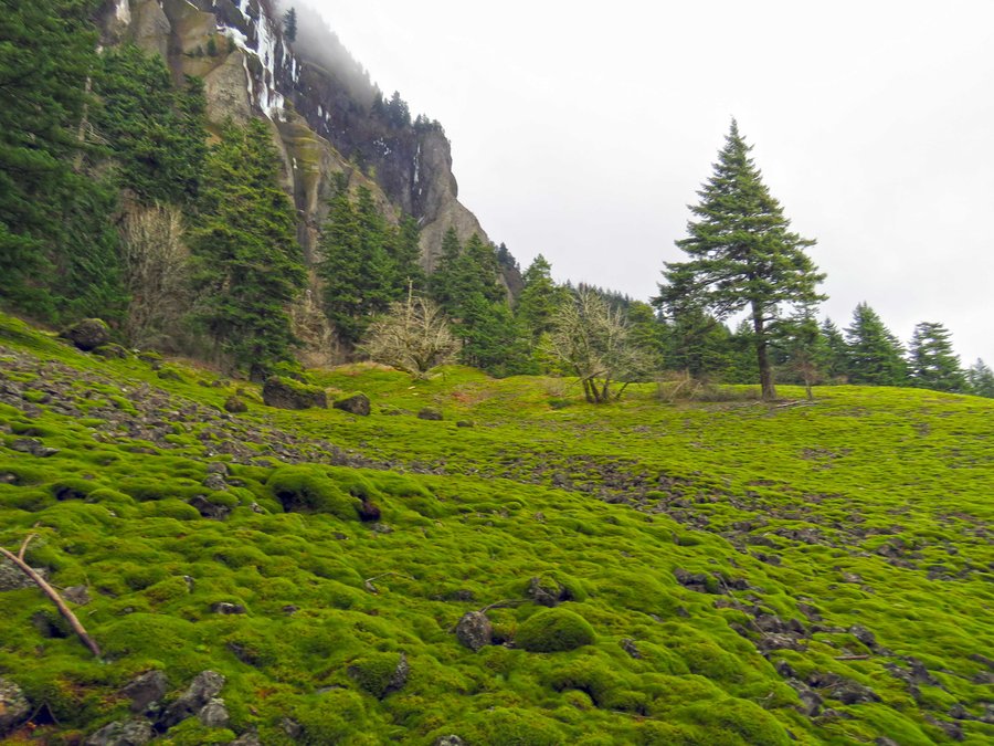
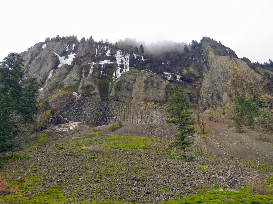
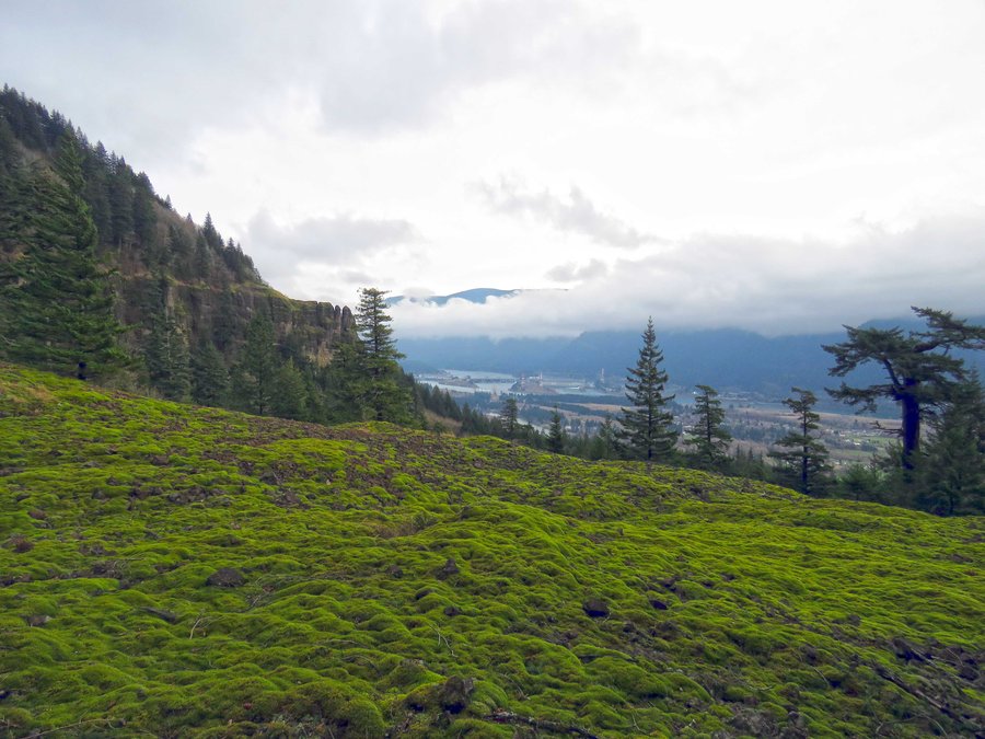
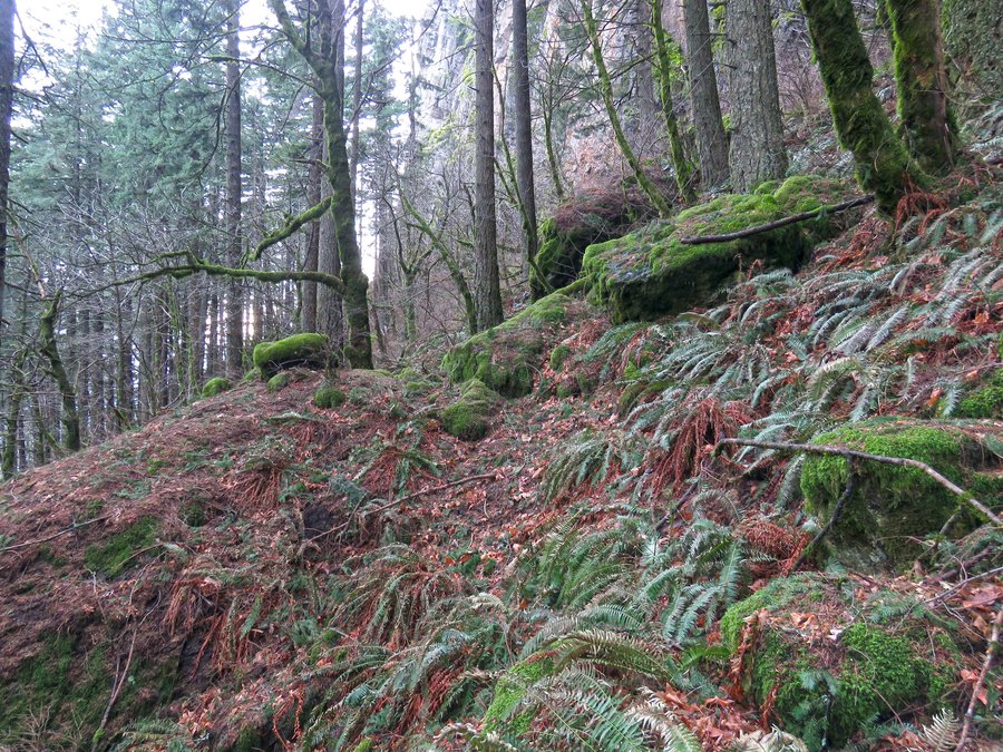
Explored the moss covered slopes south of the cliffs of Hamilton Mtn. Part of an east-side route to the summit?


Comments
Roman,
Originally I was thinking of an east side approach from Aldrich but after visiting this place I'll likely continue to come in from the west - easier. Is this a Discovery Pass avoidance type question? Hamilton Creek might be a problem.
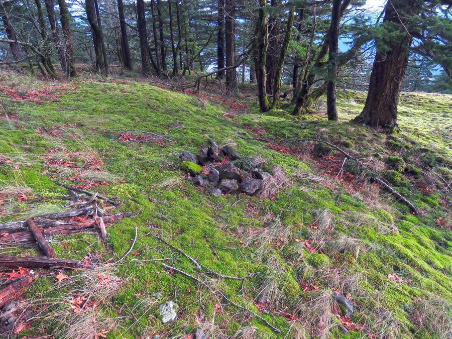
I too have looked down at this place from above and wondered what was there, worth the trip - once there the cairn and fire ring are the only signs of human presence I could see. I ran into lots of trash along the way initially thinking lots of people must go this way but I realized on the way back the trash is raining down from the trail above. Packed out some of it...
Roman
December 10, 2014
Thanks Pablo. Yes I want to find a way that avoids Discover Pass (I have the pass, but this challenge is interesting), and also been wondering about these mossy meadows for a long time. Been thinking something like going via lower part of your green line, then your off-trail red line to where it joins official trail, and taking it up to the summit.
BTW you may be right about trash raining down from the trail. 3 or 4 years ago I lost my hat to wind gust on Little Hamilton - it may still be down there somewhere, though not as nice...
Roman
December 9, 2014
Wow - very nice view of cliffs! I've been looking on these talus "meadows" too many times down from the trail. If you'll start from the east, would it be from Aldrich Butte or there's better access on W side of Hamilton Creek?