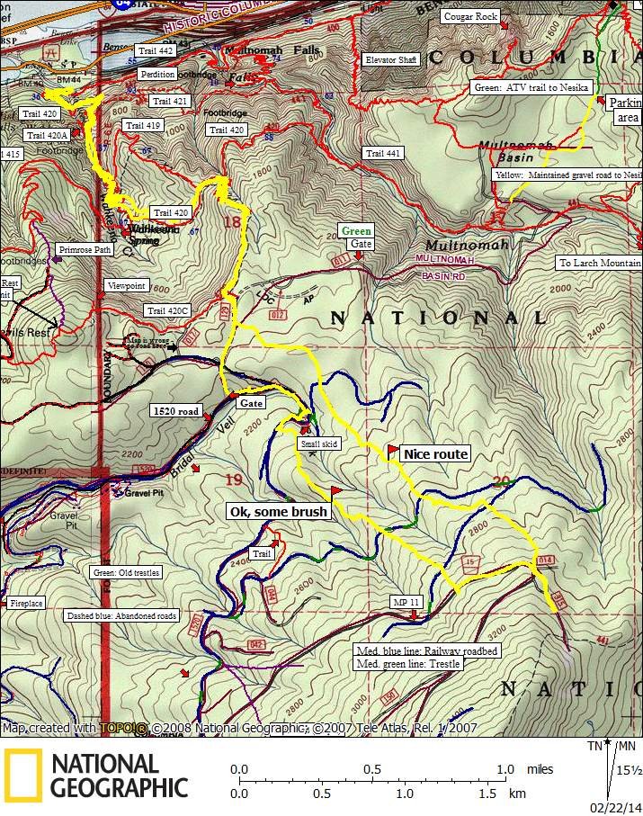
9.5 miles of hiking • 3000' elevation gain •
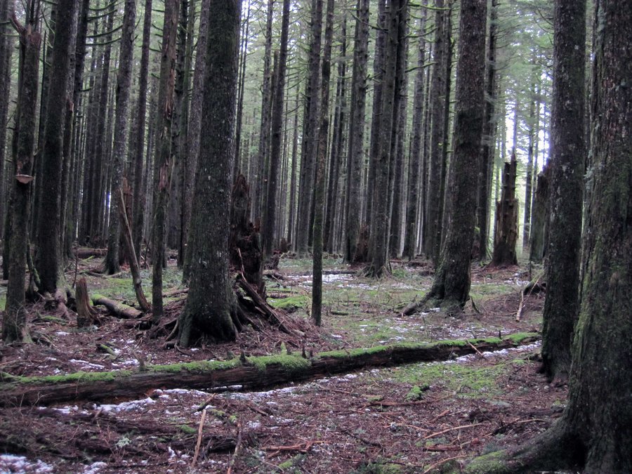
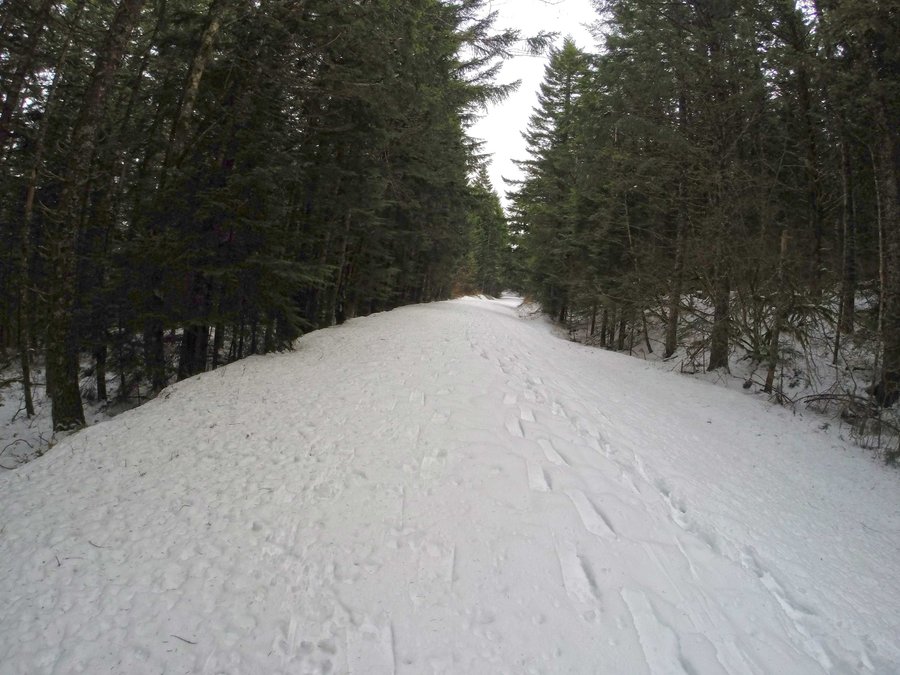
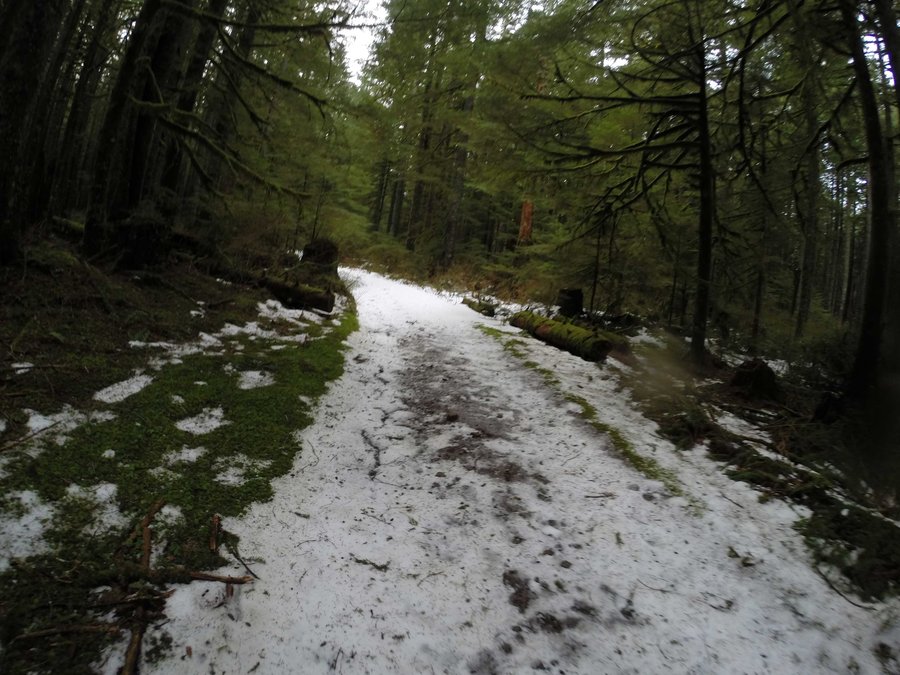
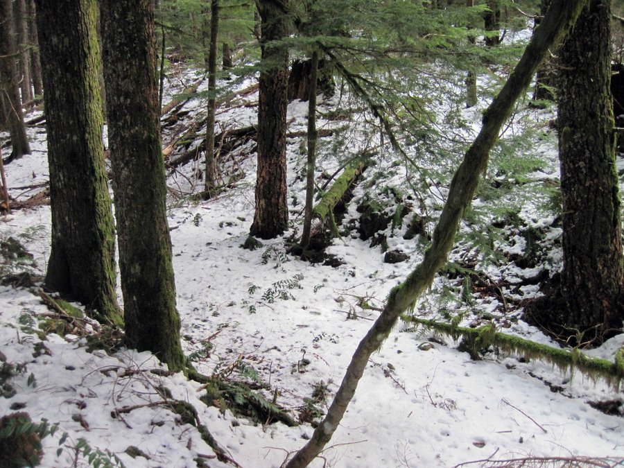
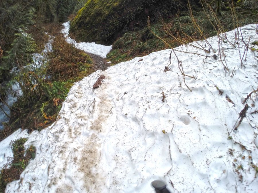
Today I explored a couple of routes looking for maximal elevation gain/shortest distance to Larch Mtn. Starting from Wahkeena I hiked up to Multnomah Basin Rd then followed a couple of ridges in a loop to see which one was the least brushy. Both ridges are nice but the one to the east had less brush and takes off almost from where the connector trail from Wahkeena lands on Multnomah Basin Road. Both ridge routes cross old RR logging grades. 9.5 miles, 3200' round trip from Wahkeena TH to Larch Mtn Rd. Wahkeena trail was packed with at least 3 groups doing conditioning hikes to Devil's Rest. Saw some people on Larch Mtn Rd when I got there. The background trail and other markings on the map are from Don Nelsen's work in the area - the bold yellow line is my track from today. Looks like I've found my shortest route. I packed snow shoes and wore them on Larch Mtn Rd but they were not needed there - I did not bother to go on up to Larch Mtn and for sure the snow is deeper there and snow shoes will be useful.