

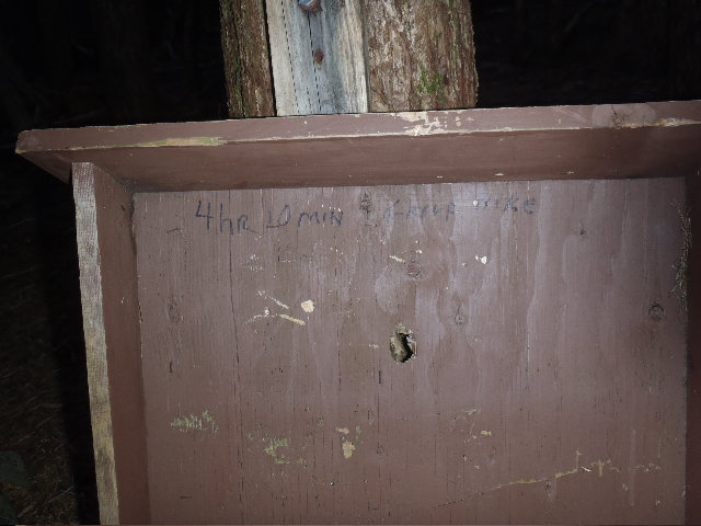
32 miles of hiking • 6500' elevation gain •
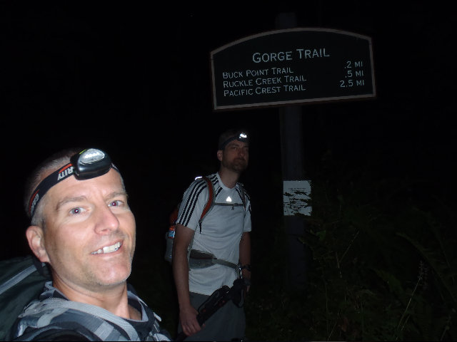
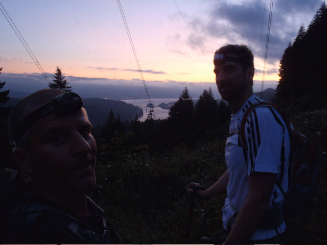
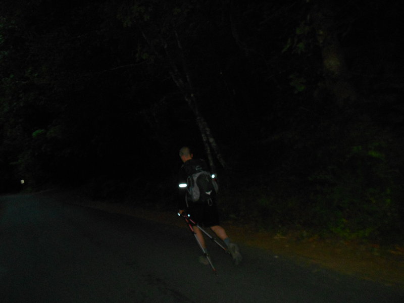
I was 10 minutes early arriving at 4:50 am, extra day hike bonus points for me. I think we started hiking at about 5:25 or so through the Eagle Creek Campground with headlamps waking up dogs and tent campers, although with the trains and freeway I don't know how anything could sleep there anyway.
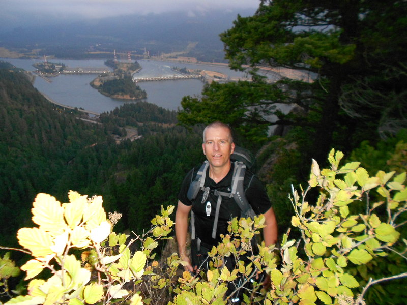
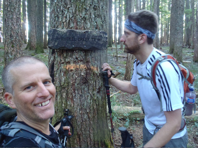
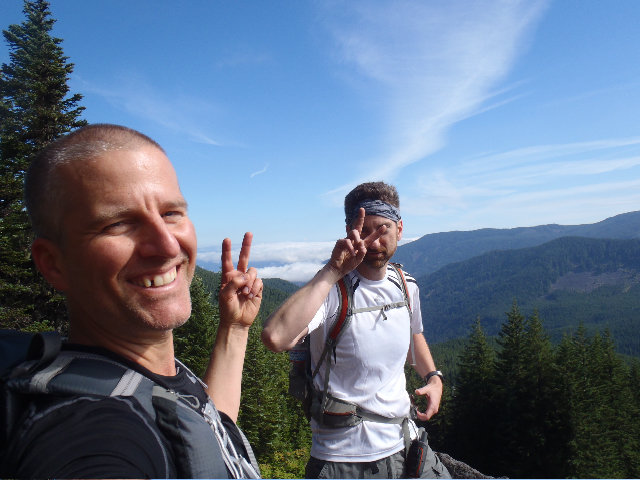
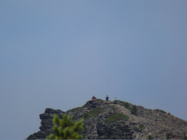
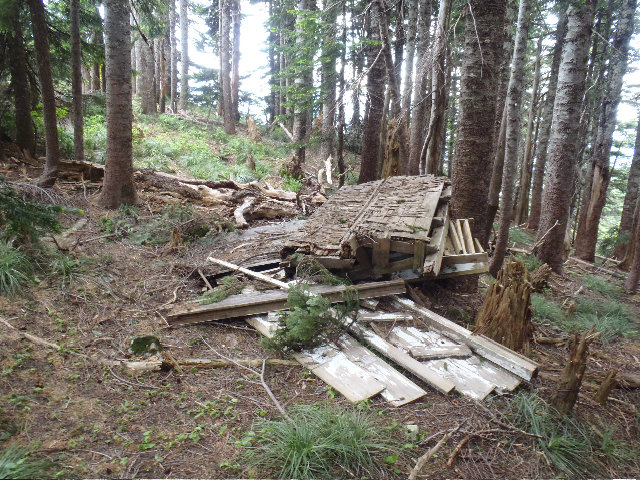
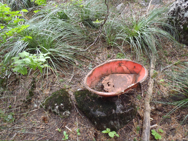
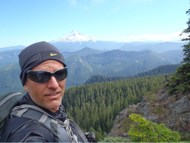
Mayhem and I went up Ruckel Ridge in 2 hours 45 minutes, slow but still faster than a group hike :). Used the Benson Plateau which was quickly renamed Deuce Plateau, tons of human waste and TP scattered at most of the campsites we found. Cut across one of the Ruckel side trails to get to the PCT. Popped out and got a view of Adams, I made a video of Mayhem saying "there's Hood, yup". Saw some campers at Camp Smokey, they were nice.
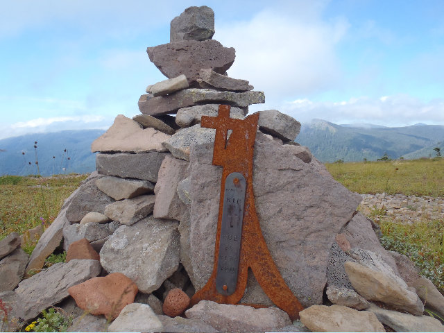
Cruised along the PCP to Skinadear MT, all clouded in and no views but we meet a couple swell gals up there and talked about the weather while Mayham was checking local towns for current weather on his phone or something.
Sun was coming in again once we got down to Wahtum Lake area. Used the PVC again to hike around it and up a bit to hit our last peak destination, Indian MT. Saw the gals again from Chinidere when we got around Wahtum, they used the short cut that crosses the log jam where as we went the long way around using the PCT.
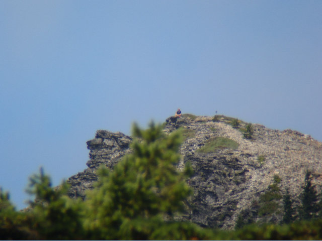
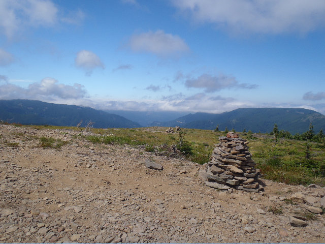
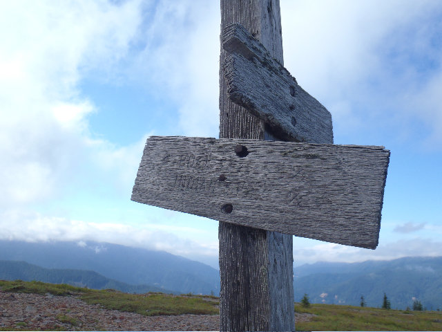
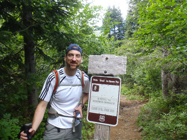
Hit up Indian and got some decent views in but the weather system was being pissy and kept blowing clouds in and out, but it was great up there with a superb view of Hood. Had fun figuring out how to hit Indian Springs Trail to get back to Eagle Creek Trail. I also watered up at Indian Springs for the long trek back.
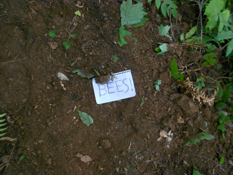
Got down to Eagle Creek Trail after the 2 mile Indian Springs cut off trail and came up on a bee warning note. I poo pooed it and got a nice yellow jacket sting but managed to get off some pictures of the nice warning notes. Mayhem was going to run through the area but I said don't worry there's no bees in here, lol. I was kind of blocking him like a big dumb ape as he was trying to get past too, glad he didn't get stung and it was just me. Was greatest part of the whole day really as I was jumping up and cussing and laughing afterwords and wondering if I was allergic to bee stings.
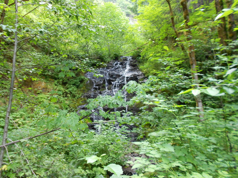
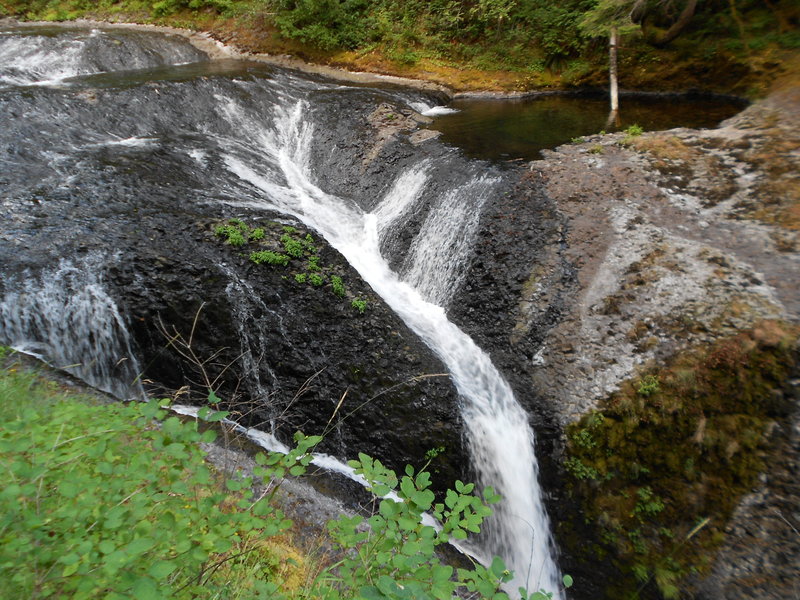
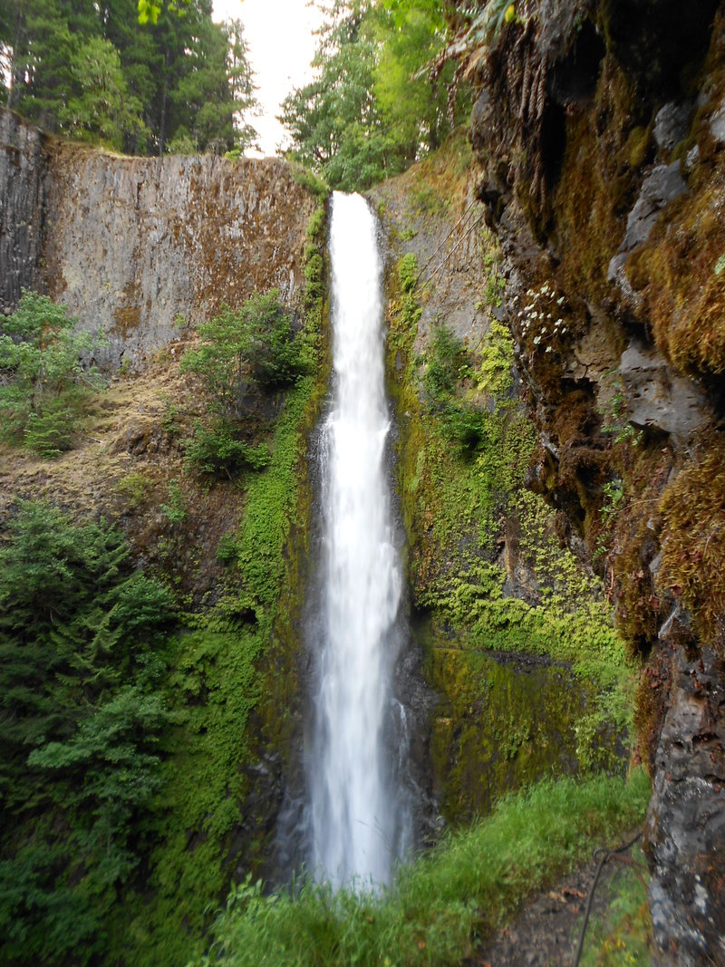
Pretty much straight forward from here using the nicely graded Eagle Creek Trail. I never been to Twister, Tunnel or Punch Bowl falls so it was very nice to finally see them.
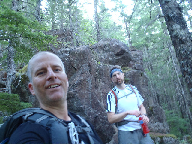
Most of the photos were taken by Mayhem.
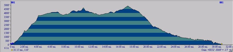
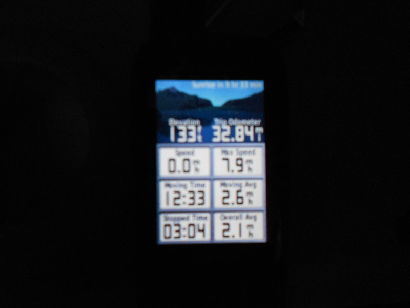
My Garmin GPSMap62s told me at the end of the day the EG was 6558'. I put the track into Garmin Basecamp and that utility told me the days gain was around 9k'. Put the track into NG Topo and it said over 8k' gain. Uploaded the track into GPSfly.org and that also said way too much gain, which one do I believe, the actual hand held GPS or one of the utilities?


Justin Wright
August 18, 2011
We came across those bee warning signs as well. 5 seconds after I read the sign I got lit up by 6 or 7 bee's. My friend got a bunch as well including one in the face. They were some angry bees!