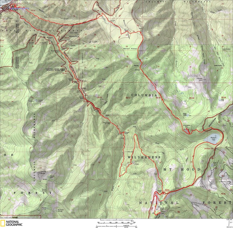
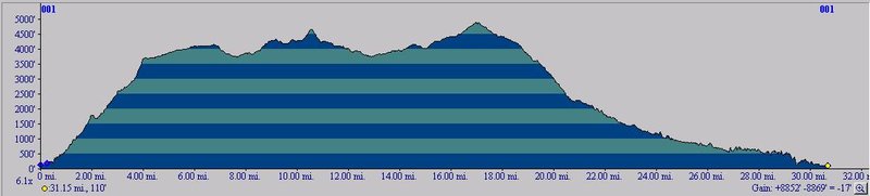
Map
Join the community
Log in
Welcome Back!
No Account?
Email
*
Password
*
Forgot password?
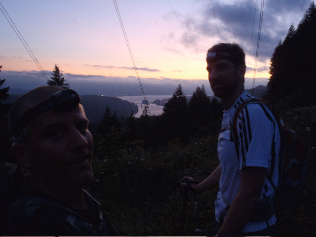
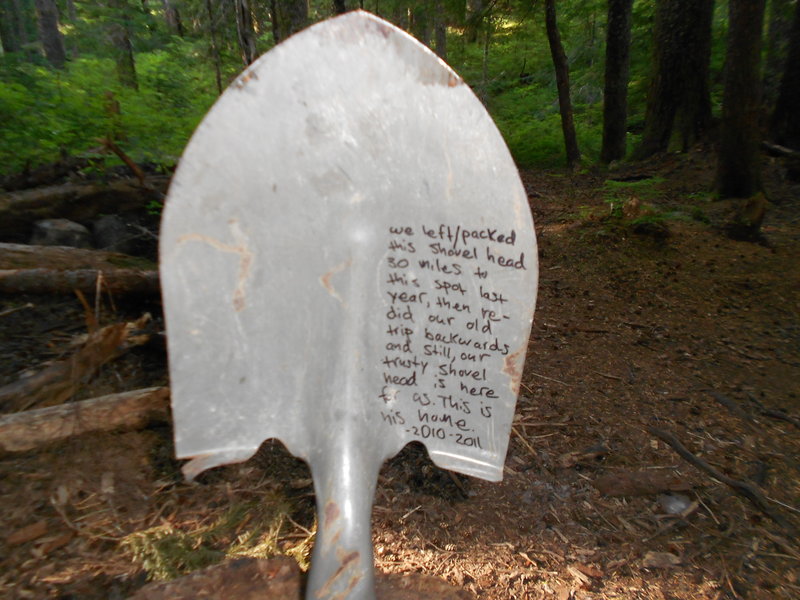
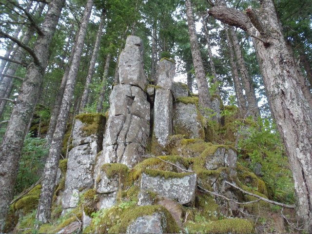
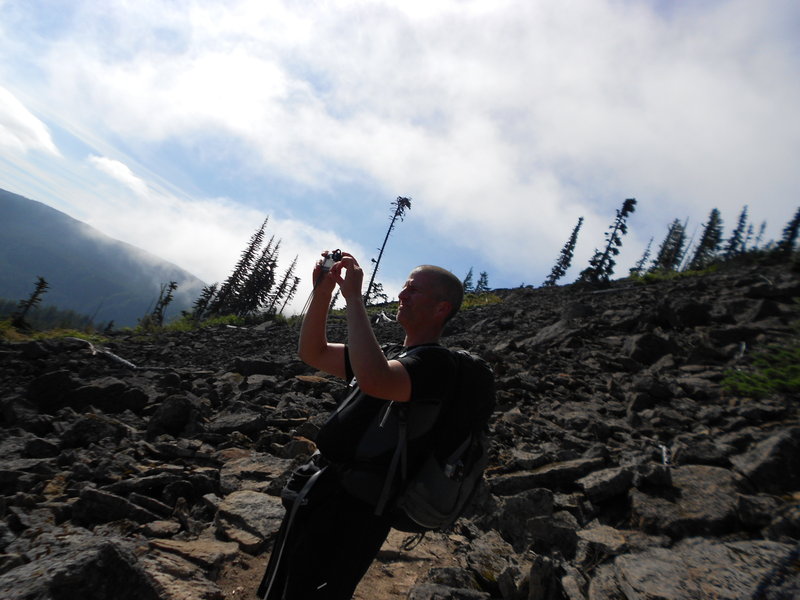
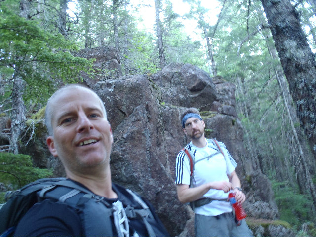
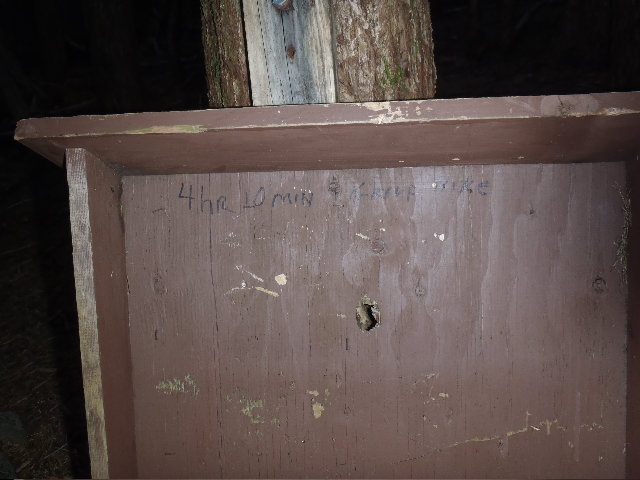
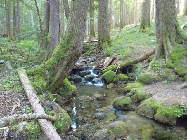
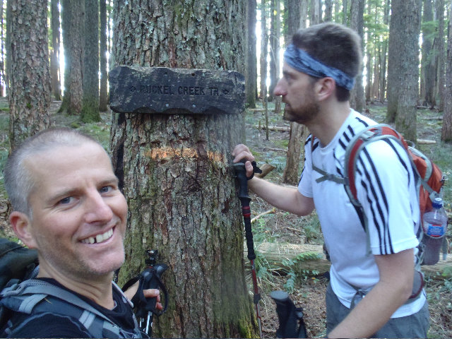
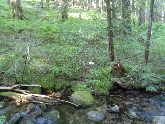
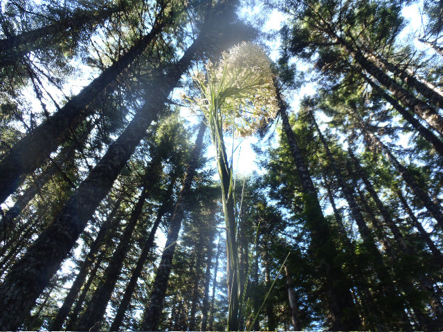
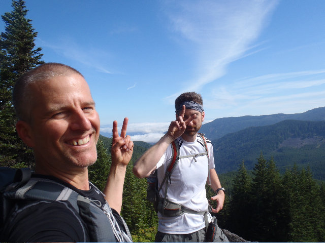
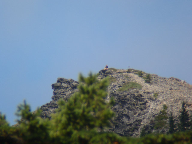
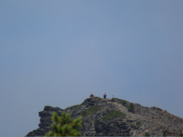
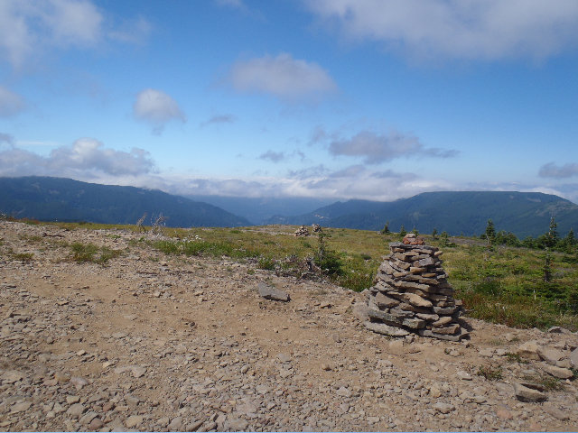
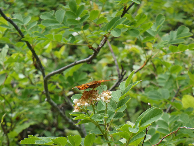
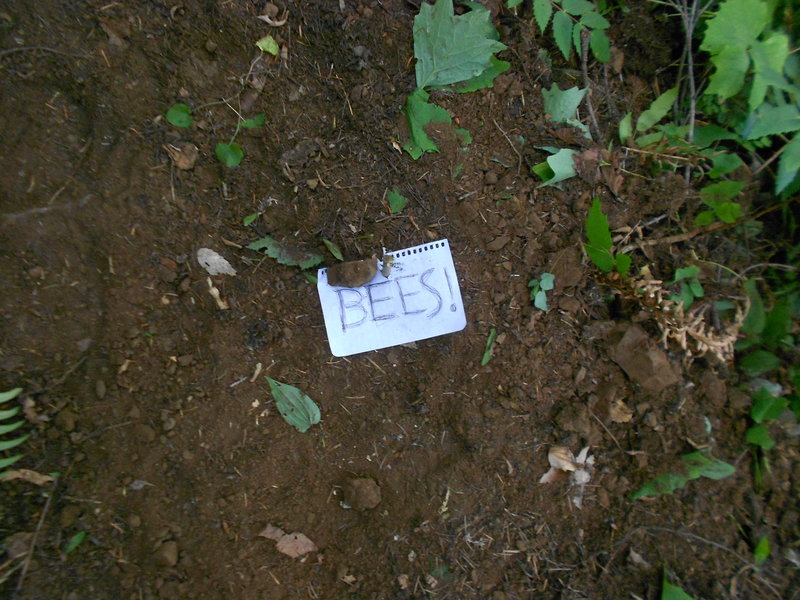
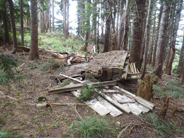
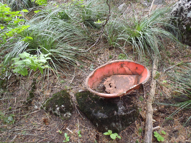
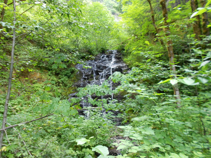
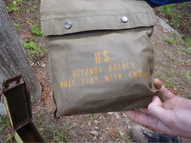
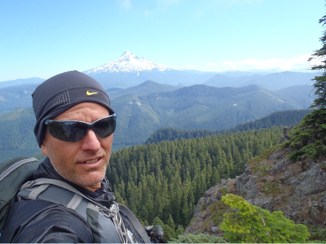
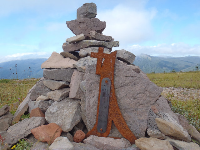
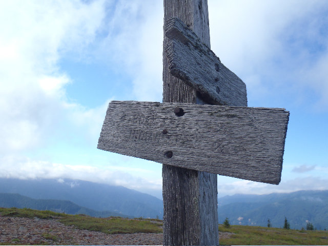
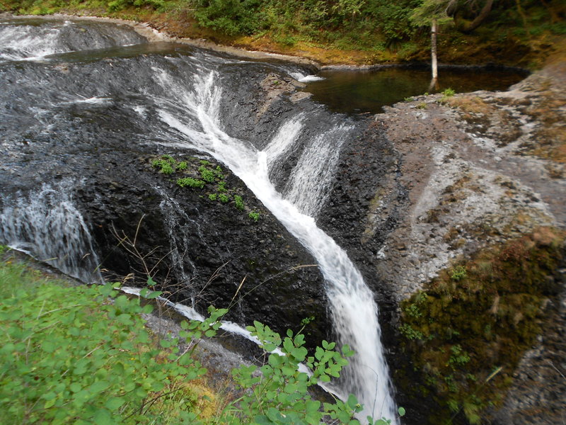
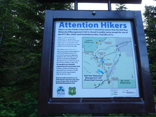
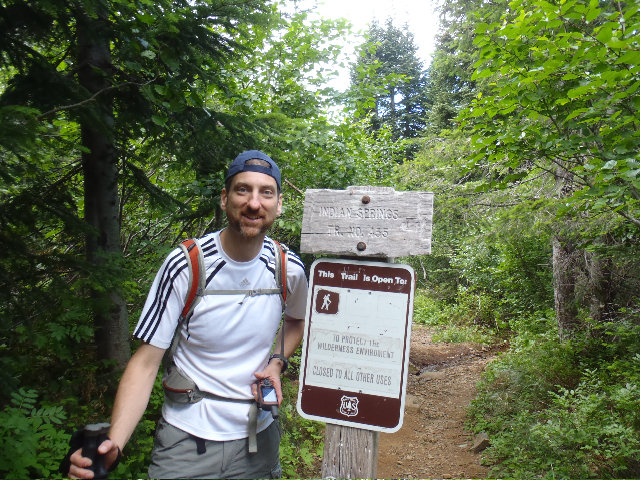
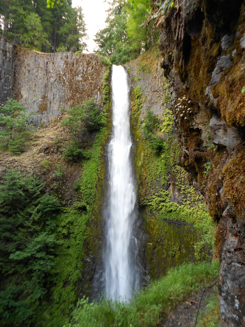
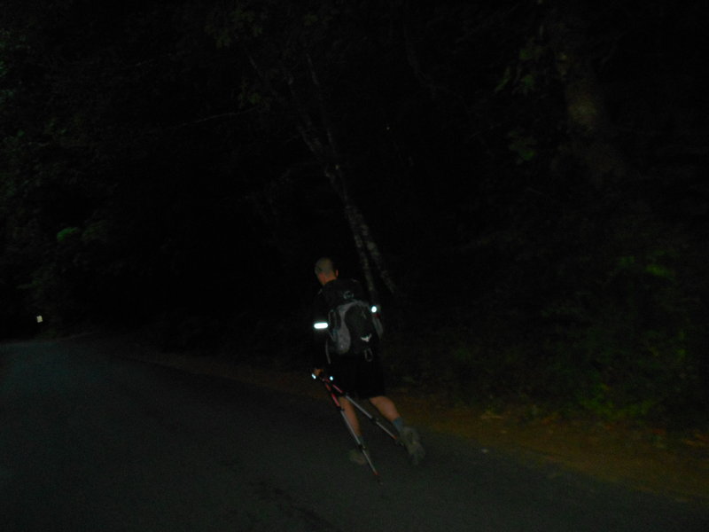
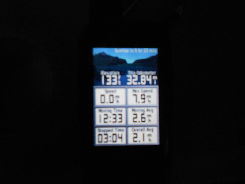
« Back to Ruckel Ridge To PCT To Chinidere To Wahtum Lake To Indian MT To Eagle Creek Canyon Loop
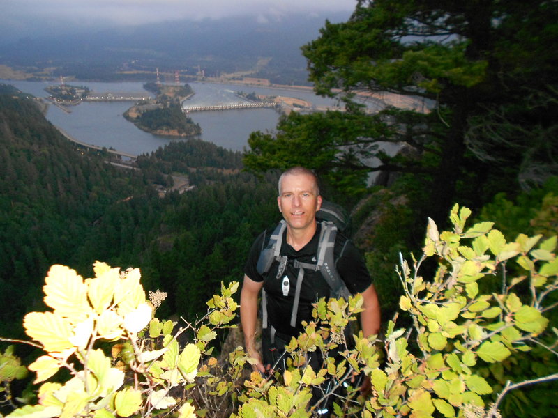
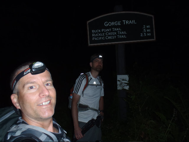
Photos from “Ruckel Ridge To PCT To Chinidere To Wahtum Lake To Indian MT To Eagle Creek Canyon Loop”