

14 miles of hiking • 3750' elevation gain •
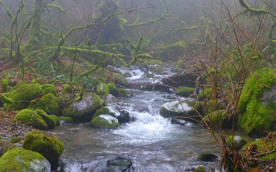
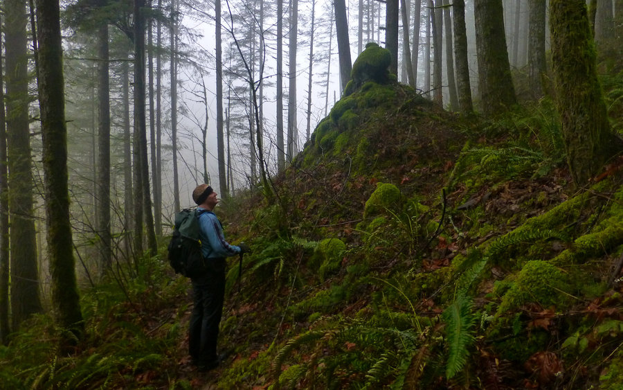
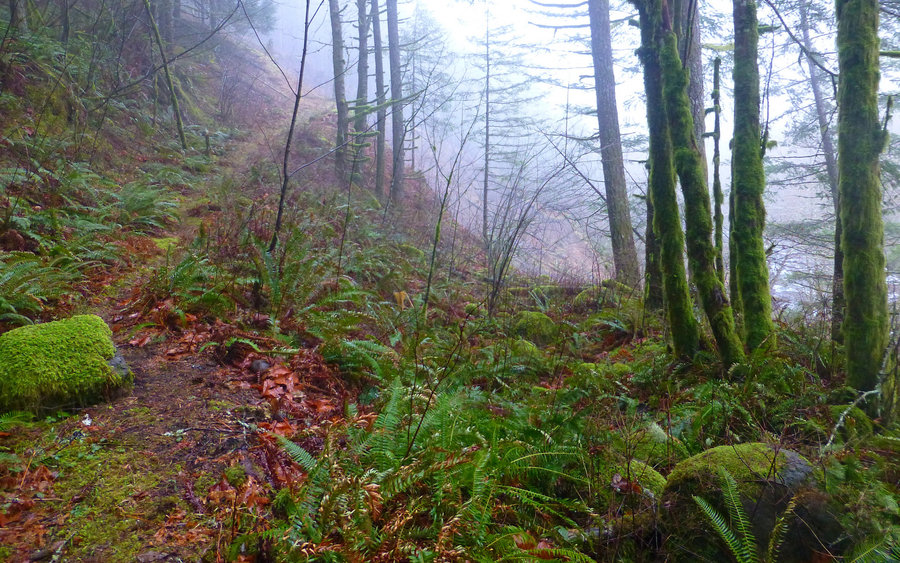
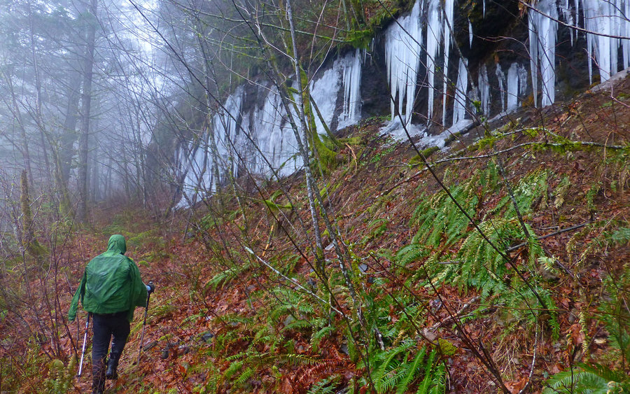
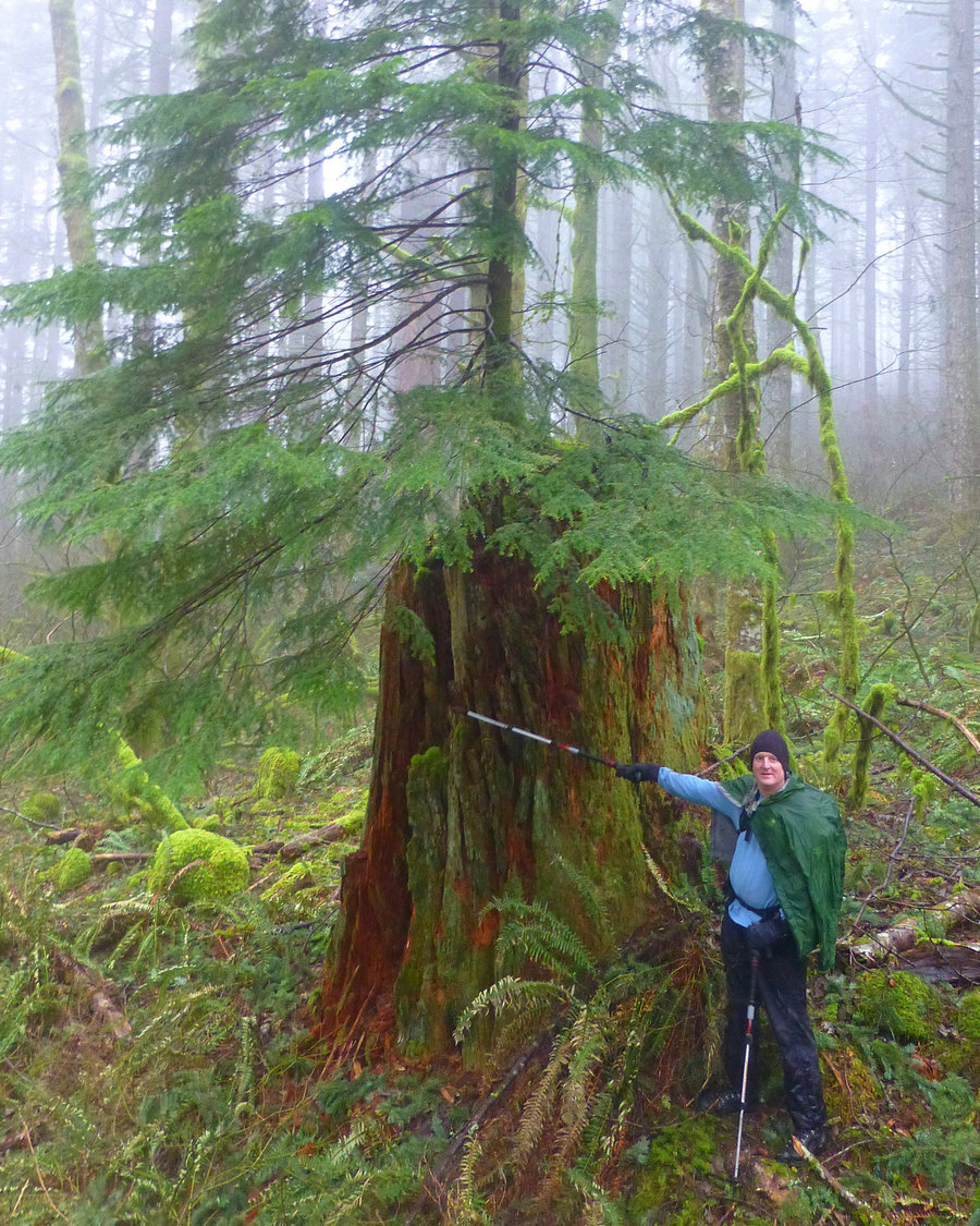
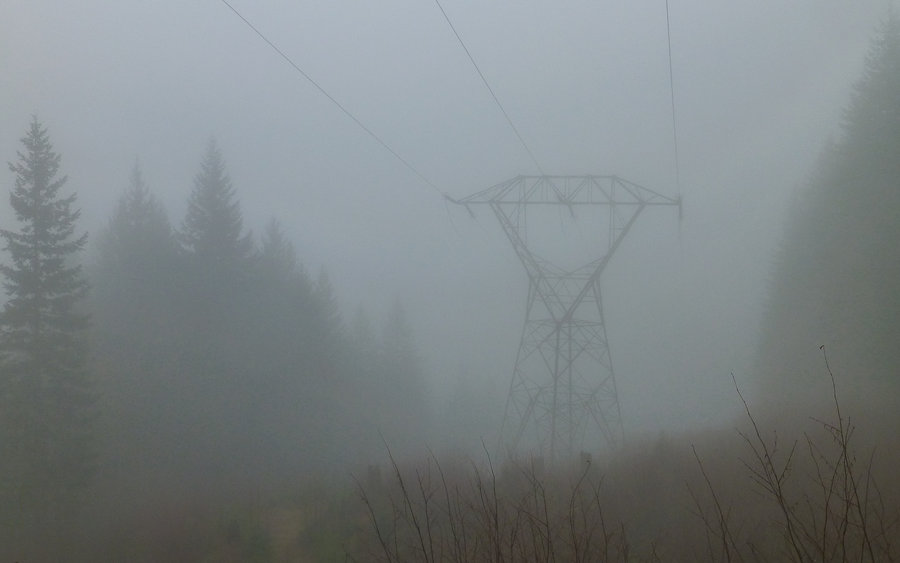
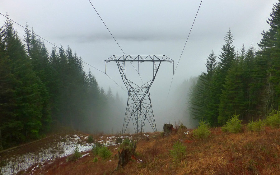
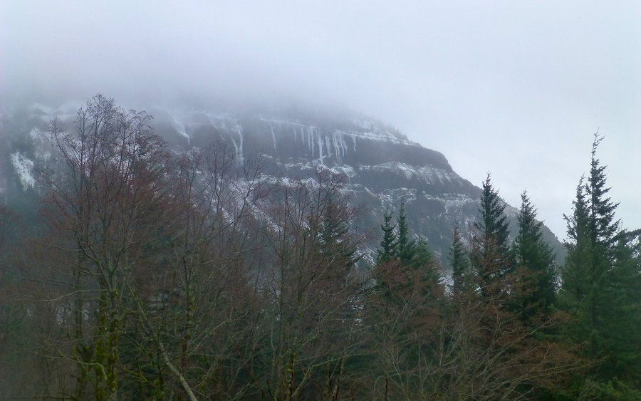
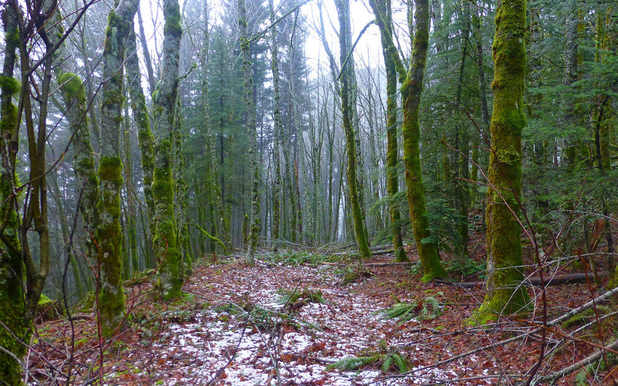
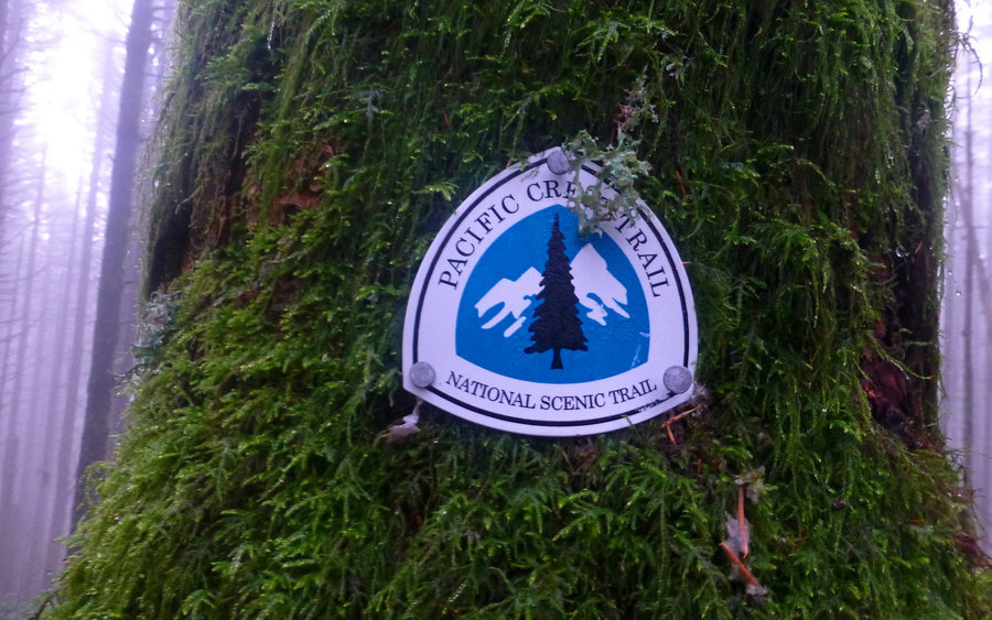
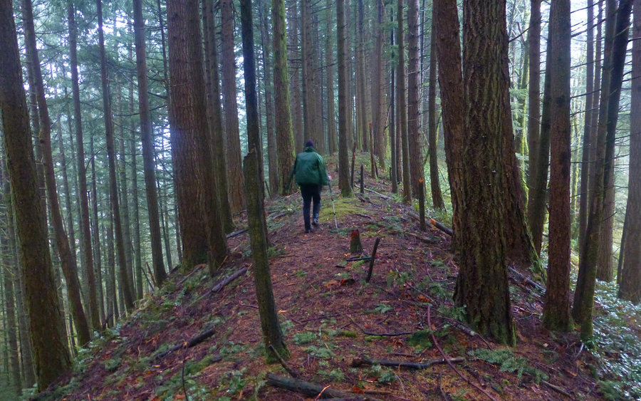
Decided that a long forest hike was the choice-du-jour, due what looked to be unrelenting clouds obscuring any hope of views. Wandered way up Hamilton Creek, starting just south of Aldrich Butte, following the old abandoned railroad grade to the extent possible. Then, took the incline route up to the PCT, and came back down the "normal" route. Along the way, Brad showed me a new option for getting off that gawd-forsaken, rocky, rutty road! The "ridge trail" nearly parallels the road, but is infinitely more pleasant to walk on. Bonus! :-)


Comments
Roman
January 5, 2015
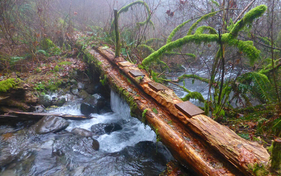
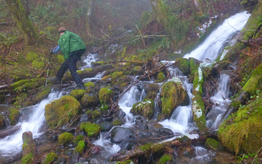
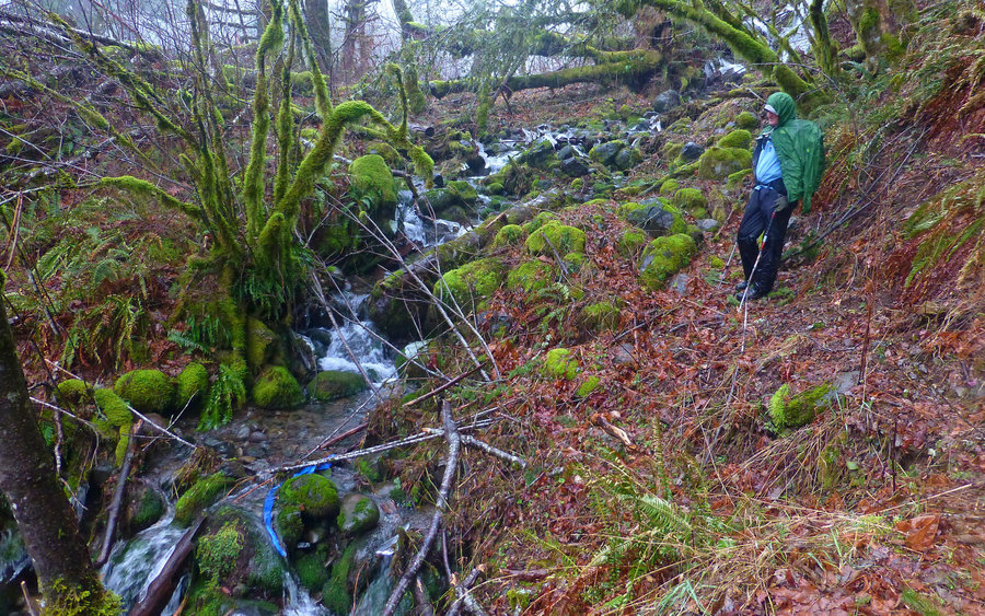
I like that road/trail access on W side of Aldrich Butte. Nice area, and very quiet. Is pic. 3 the logs just upstream of trail crossing of Cedar Creek? Last year they were mossy & didn't look worked on like this, very neat.

Karl
January 5, 2015
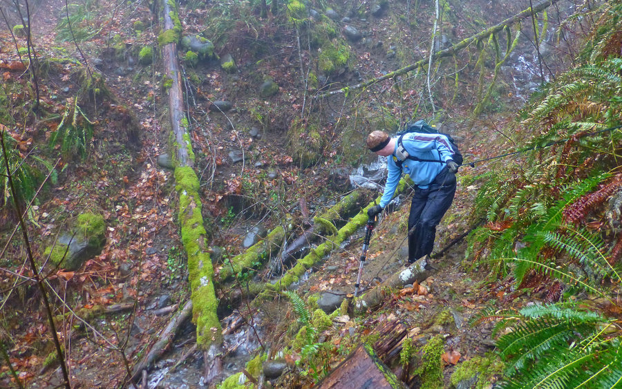
Hey Ben, yeah, this was just a perfect choice for the day as it turned out. We thought the clouds were supposed to break, but. Heh. I'm really enjoying exploring around up there! I've picked Don's brain (and maps!) a bit, and the wealth of history in that area is incredible. The gully crossings weren't too bad; ropes still in place. Fingers crossed we didn't get into tooo much dormant poison oak! :-)
Karl
January 5, 2015
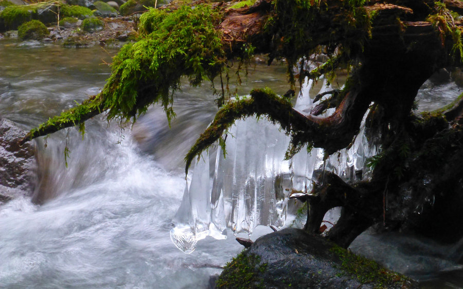
Roman, no actually, photo #1 is the old "mushroom log" crossing. It's finally collapsed into the creek! (Crusak and I came through there in March, and it was really wobbly!!!) The log/bridge in #3 is actually about 75-100 yards downstream of where the trail hits the creek. Brad said it'd been there a couple years. I had no idea! There is a user trail to it, becoming rather well worn, on both sides now. Without question, it's a far superior option. :-)
Roman
January 5, 2015
Nice - I also didn't know about these logs downstream.
Good job at making it that far on RR grade, last time I lost patience and just cut off-trail to the saddle N of Cedar Mtn, didn't know when I'll see that elusive trail up the ridge...
Karl
January 6, 2015
There are a couple of cut-offs lower than the route we went up. If you don't have a copy of Don's map, it's invaluable!
acorn woodpecker
January 4, 2015
Nice choice for a forested hike! Hamilton Creek is quite a gem and a pretty substantial drainage on the WA side of the Gorge. Must be the biggest drainage between the Little Wind River and the Washougal River, yet few know of its existence. How did you like those roped crossings of the various side creeks? Glad you discovered the ridge route above the road on the way down. That's the only way I take anymore when I'm in that area and traveling that piece.