

2015 Trips


 1
1
Basin Lakes, Gifford Pk, East Crater, Berry Mt
13 miles of hiking • 3000' elevation gain •
The last high-ish country trip of the season without snow. Unforgettable.
October 24, 2015

Gabbert/Gresham Butte
3 miles of hiking • 750' elevation gain •
The son and I went and explored this unexpected nice little loop on Gabbert Butte.
October 23, 2015

Molalla State Park, Canby
2 miles of hiking • 0' elevation gain •
The whole family went Molalla State Park, where the Molalla flows into the Willamette.
October 17, 2015
 1
1
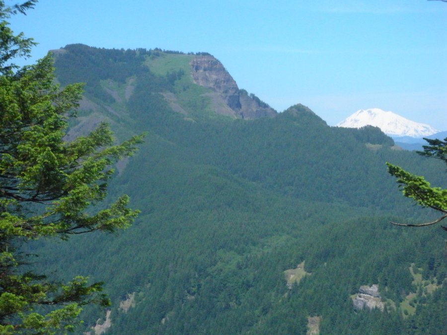
Sawtooth, Bird, Lemei Loop
14 miles of hiking • 3750' elevation gain •
Did a loop climbing the three highest peaks in the Indian Heaven Wilderness. Gorgeous fall day!
October 16, 2015
 1
1
Jenne Butte & Bundy Park along Johnson Creek
3 miles of hiking • 750' elevation gain •
Went to some rarely visited wild spots in the city limits. Saw no one!
October 9, 2015

West Gorge Wonder
5 miles of hiking • 1500' elevation gain •
One of my favorite hidden haunts, which I took my dad to for the second time. Found a new viewpoint and saw a beautiful manzanita.
October 3, 2015

Powell Butte
3 miles of hiking • 250' elevation gain •
Took my dad and son on a nice loop. Pleasant cool weather.
October 2, 2015

Wind Mtn
3.5 miles of hiking • 1250' elevation gain •
Took my mother and son up today. What a gem. This short hike packs a punch with a viewpoint and summit views. Beautiful day for it, too.
September 26, 2015

Powell Butte
3 miles of hiking • 250' elevation gain •
Quick late afternoon stroll with my mother and son. Pleasant cool conditions after the day's rain. No distant mountain views but whatever. The construction of the underground reservoirs is done. Lots of bird activity, as usual. The low point was having both my mom and son step in dogshit at the trailhead at the end of the walk and track it into the car. Yuck! Didn't ruin the good time we had, though.
September 25, 2015

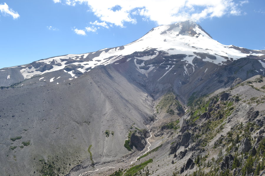
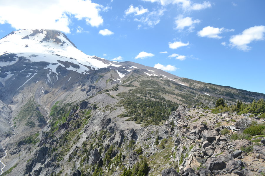
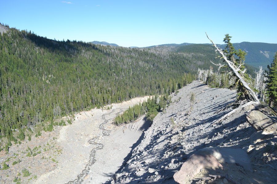
Fish Creek Mt. from Indian Henry
9 miles of hiking • 4250' elevation gain •
A beautiful day in the Clackamas area abound with treasures of discovery. Great ridgeline views from many different perspectives. The color is changing on the maples. Fresh coating of snow above 7500' on Hood and Jefferson. Only downside was the sound of gunfire.
September 19, 2015

Nick Eaton-Indian Point loop
8 miles of hiking • 3500' elevation gain •
Unexpectedly had the afternoon and went a new way up a familiar haunt in Herman Creek area. Basked in the sun along a ridge. Good hiking weather; pleasantly cool with a high enough cloud ceiling to enjoy the immediate surroundings. Topped out at a high point before dropping down to Indian Point for more dramatic views. Exited via Gorton Creek Trail to complete the loop.
September 5, 2015

Aldrich Butte & Cedar Creek
5 miles of hiking • 1500' elevation gain •
Took a friend and my son today to a familiar haunt. Perfect weather. The breezy cool conditions had cleared out the smoke and the Gorge looked as magnificent as it could be in August. Never have went in the late summer and Cedar Creek was the lowest I'd ever seen it!
August 21, 2015

Goat Mtn area of Mt. St. Helens
4 miles of hiking • 2000' elevation gain •
Visited the cluster of tors east of Goat Mtn. Started on the south ridge of Point 3961to gain the ridge. Steep! Walked along the undulating ridge and visited two of the four tors on my way to scope a route up Goat Mtn from the east. Only made it part of the way up and had to turn around due to time constraints. The eastern buttress is very steep and may require use of a rope. Definitely some fourth class sections if not harder. Having to backtrack without a rope by myself did not sound enticing. Backtracked along the ridge and descended the northeast ridge of Point 3961. Saw lots of sign of elk as well as six elk with babies and a few deer. Wonderful day and perfect weather.
August 6, 2015

Chocolate Peak & Mt. Rose (NV)
9 miles of hiking • 4750' elevation gain •
Ventured 45 minutes south of Reno and had most of the day to explore in the Mt. Rose Wilderness and climb two peaks within it doing a creative loop. One peak rarely climbed (Chocolate) and another frequently so (Rose). Thunderstorms threatened throughout the day. Had to time the summit climbs accordingly, which included having to hunker in stands of pine in between cells. Was nice to be rained on! Had great fun exploring old abandoned trail, cross country sub-alpine travel (except for all the mountain mahogany), and scrambling exposed seams of good rock! The normally very busy summit of Mt. Rose was devoid of any hikers. Probably due to a weekday and the storms and I was the only fool willing to go to the summit in such conditions! Loved going through the ponderosa/jeffrey pine forests and the wide vistas along the ridges and summits!
July 21, 2015

Peavine Peak (Reno, NV)
5 miles of hiking • 2250' elevation gain •
Another evening leg stretcher from in-laws' but this time higher up on the shoulder of the peak. Searched for some lost binoculars from a trip earlier in the year to no avail. Dry and windy with lightning and thunder out east. Nice sunset.
July 20, 2015

Peavine Peak (Reno, NV)
3 miles of hiking • 1000' elevation gain •
Evening leg stretcher from the home of the in-laws onto the slopes of the mountain. Dry and windy conditions among austere landscapes.
July 18, 2015

Tumbledown Pond & Tumbledown Mtn. (Maine)
6 miles of hiking • 2500' elevation gain • 1 night
A friend and I visited another friend in Portland, Maine and he took us backpacking to a remote lake and mountain a couple hours north. The forest is reminiscent of the Pacific Northwest but the higher elevation has a different feel. More granite and features are more rounded yet still rugged due to the geologic age of the area. Got clobbered by a rainstorm in the middle of the night, but stayed dry! A nice introduction to the mountains of New England.
July 11 – July 12, 2015

Barr Lake State Park (CO)
6 miles of hiking • 250' elevation gain •
Had a 24 hour time window in Denver on my way out to Maine. My dad picked me up at the airport and went to this little gem close by. Lots of birds and water.
July 9, 2015

Lamberson Butte
9 miles of hiking • 2500' elevation gain •
Started from Elk Meadows TH at Mt. Hood Meadows ski area. Great wildflowers and beautiful views along the Newton Creek drainage and along Gnarl Ridge. Looped back along the Timberline Trail and down the Newton Creek Trail for a lollipop loop.
June 25, 2015

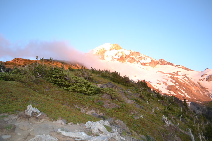
Cathedral-Ladd Ridge Solstice Loop
13 miles of hiking • 4750' elevation gain • 1 night
Did an overnighter for the solstice. Cold and windy. 38 degrees in the morning with wind. Followed Cathedral Ridge up to where it steepens and traversed over between snowfields and above the Glisan Glacier to drop onto the steep ridge between Glisan and Ladd Glaciers (i.e. Gladd Ridge), which flattens into a prominent moraine as it descends into Cairn Basin. Beautiful day with lots of wildflowers and very little snow. Saw 60+ people on the 3 or so miles of Timberline Trail I followed. Wonderful day in the high country!
June 19 – June 20, 2015

Cedar Mt Hamilton Creek Loop
6 miles of hiking • 2000' elevation gain •
Had an unexpected opportunity and had the afternoon for a small excursion. Went up Cedar Mt. and dropped into Hamilton Creek from the Saddle. The RR grade is a schwack this time of year and the water is low. Nice day and wildflowers aplenty along Cedar Ridge.
June 12, 2015

Nesmith-Yeon Landscaping
8 miles of hiking • 3750' elevation gain •
Wild, rugged, remote climbing requiring ropes coupled with a sense of idiocy in the Nesmith-Yeon area. "Interesting!"
June 6, 2015

East Ridge Hamilton Mt.
4 miles of hiking • 2500' elevation gain •
Took a different route up Hamilton. No Discover Pass needed. You gotta pay for it a different way, though! Bushwacking to great viewpoints for different perspectives to a familiar area.
May 30, 2015

Latourell Falls Loop
2.5 miles of hiking • 500' elevation gain •
The whole family went for a quick afternoon hike after I worked. Too many people, but beautiful waterfalls. Had dinner at the picnic area below the highway afterwards.
May 25, 2015

Oxbow Regional Park - North Side
3 miles of hiking • 500' elevation gain •
The whole family went on an afternoon trip to the quiet side of Oxbow. Feasted on salmonberries, admired the Sandy, skipped rocks, and played on the beach in total solitude.
May 23, 2015

Powell Butte Night Owl Look-See
2 miles of hiking • 250' elevation gain •
Did a sunset/night hike at Powell Butte with the fellow bird surveyors to turn in paperwork and see if we'd spot any owls. No owl sightings were had but the night was beautiful and there was no moon in the sky. However, there were plenty of deer and a couple coyotes howling. Nice change of pace at a familiar spot.
May 13, 2015

ROA Point
4 miles of hiking • 2500' elevation gain •
Extremely fun adventure to a hidden-in-plain-sight Gorge viewpoint!
May 2, 2015

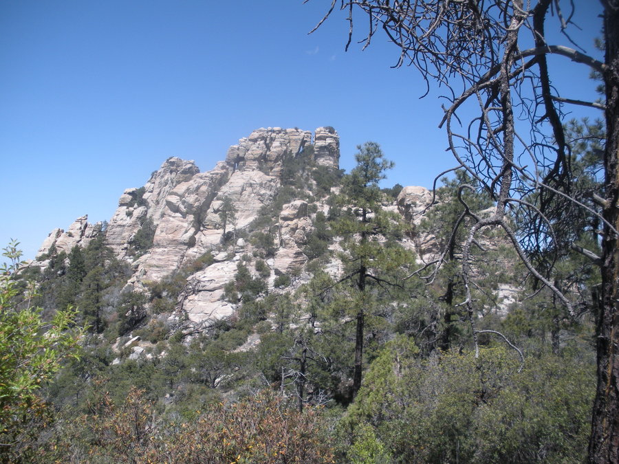
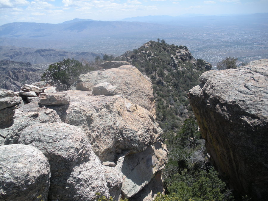
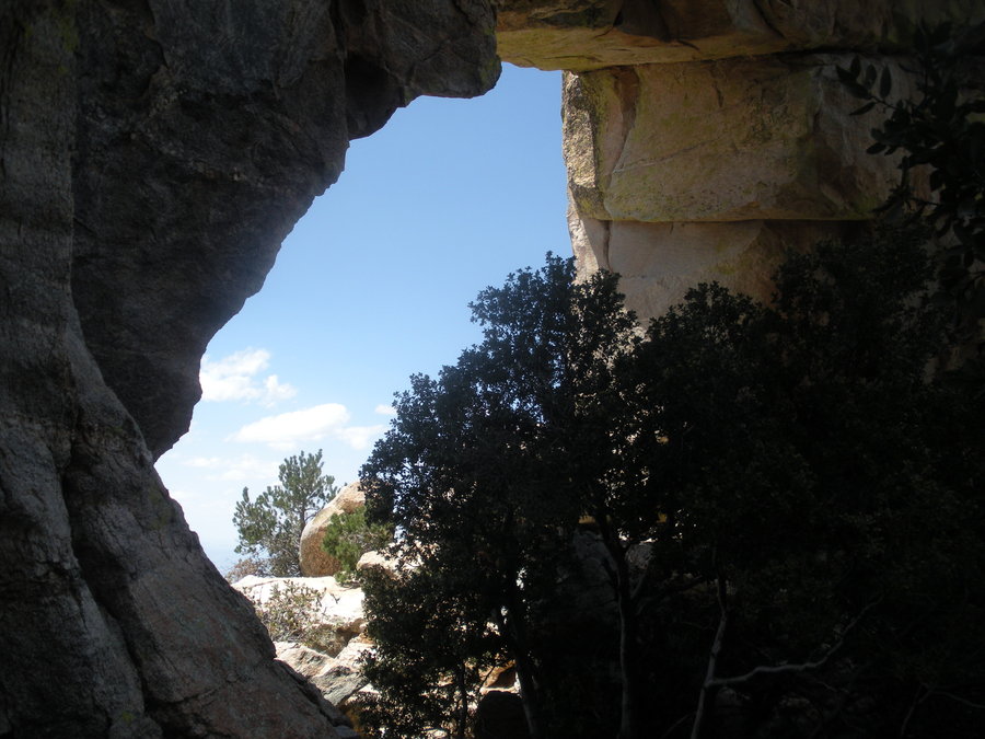
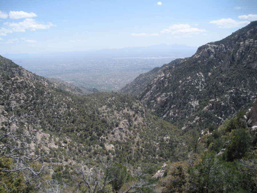
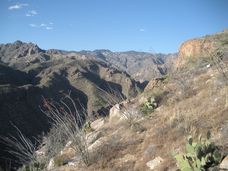
Window Peak & Ventana Canyon (Tucson, AZ)
14 miles of hiking • 5000' elevation gain •
Desert cross country ridge to high peak in Santa Catalina Mts, down Ventana Canyon for an awesome wilderness loop at Tucson's back door!
April 23, 2015

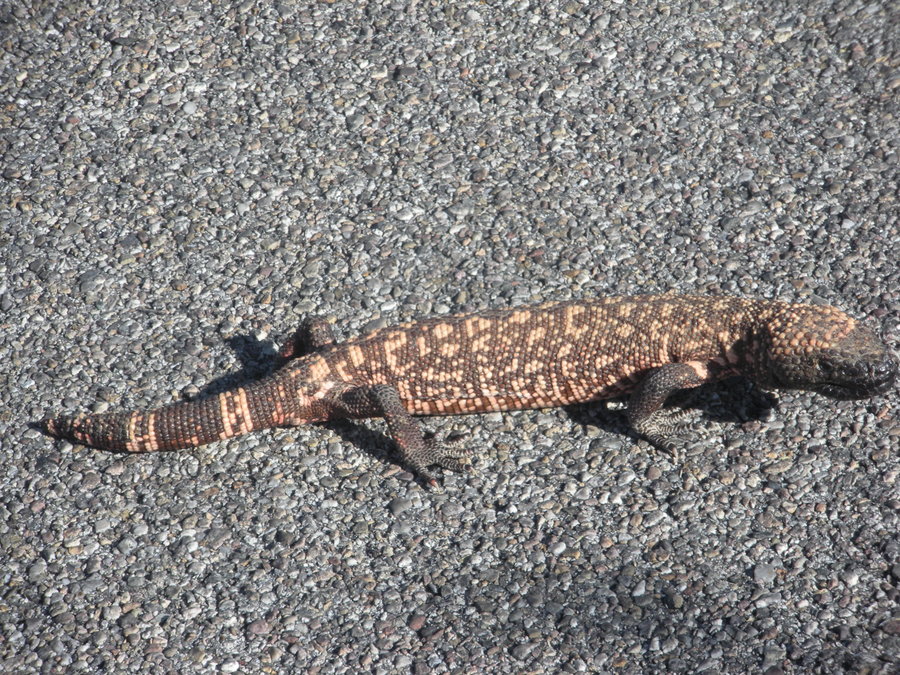
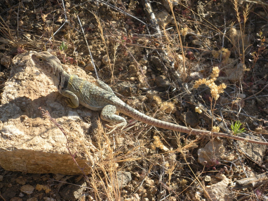
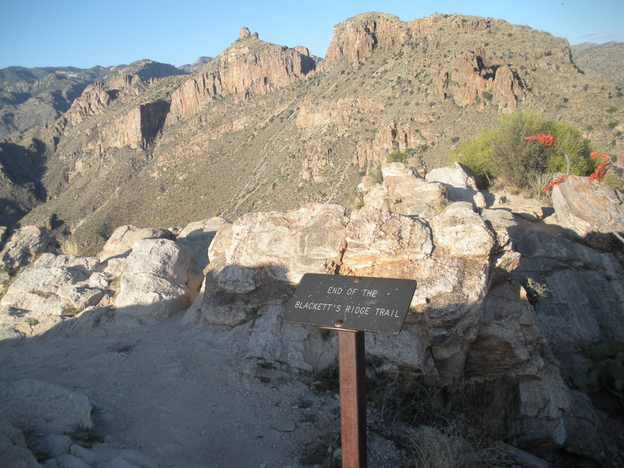
Blackett's Ridge and beyond (Tucson, AZ)
6 miles of hiking • 2000' elevation gain •
A desert hike while visiting family in Tucson. Beautiful desert terrain. Trip report on Oregon Hikers. http://www.oregonhikers.org/forum/viewtopic.php?f=8&t=21586
April 21, 2015

Up ROA down RJ
5.5 miles of hiking • 2500' elevation gain •
Took my dad to a few viewpoints along Rock of Ages Trail. Nice cool mostly clear day. Down ridge spur to Russ Jolley Trail. Visited the shelter and descended down the canyon to complete the loop.
April 12, 2015

Wyeth Crown to Deadwood Point
6 miles of hiking • 4000' elevation gain •
Parked at Wyeth and took the 400 until just east of Wyeth Crown. Gullies, ridges, and talus fields led us there. Onward to higher viewpoints along more ridges. Down a different ridge. Spectacular outing!
http://www.oregonhikers.org/forum/viewtopic.php?f=10&t=21419
April 4, 2015

Powell Butte (last bird survey)
3 miles of hiking • 500' elevation gain •
Bittersweet last week of my bird survey. This time, the whole family was able to join me. Was also able to haul all the trash I found at the survey sights I'd been aghast at the past several weeks. That felt good! Nice cool overcast spring day and good bird sightings. The nettles are knee deep in places!
March 28, 2015

Neahkahnie Mt & Devil's Cauldron
4 miles of hiking • 1500' elevation gain •
The family went to the coast for an anniversary trip. Hauled the kid in a backpack up to Neahkahnie Mt. He slept most of the way up and woke in time to catch the summit views. Lots of trillium, a few salmonberry. Got rained on as we left the summit. Pleasant wet forest walking. Afterwards, we went to Devil's Cauldron for dramatic cliffside views of the ocean to the south of Short Sand Beach. I scrambled higher up a lightly used trail that nearly disappeared to an even more dramatic view to the south all the way down to Cape Lookout. Finished the day with a visit to Cove Beach and enjoyed the high tide receding and helping the kid in the sand. Great weekend getaway for a special event!
March 21, 2015

Powell Butte
3 miles of hiking • 500' elevation gain •
Week 7 of bird survey. Another sunrise start. Saw more birds than ever before! Perfect calm cloudy weather.
March 20, 2015

Powell Butte
3 miles of hiking • 500' elevation gain •
Week 6 of the bird survey. Had to start later because of the darker mornings due to the time change. Nice sunrise at a whopping 7:25am! A bit breezy on the summit and not near as much bird activity as last week's perfect morning. Saw a red-bellied sapsucker! Also, for the first time, saw no one at all on the trails.
March 13, 2015
 1
1
Devils Rest Direct to Coopey Creek Loop
6 miles of hiking • 2750' elevation gain •
Made the most of the first day of daylight "savings" after getting off work. Did a bike 'n hike by parking the car at Angels Rest TH and rode the bike to Wahkeena TH. Copied Pablo's route to Devil's Rest by ascending a gully just west of Wahkeena Falls. Dramatic cliffs and small waterfalls. Fun route with a bit of exposure and typical loose rock in the gully. Gained the ridge and intersected the switchbacks of the Angel's Rest trail. Continued up and took the Primrose Path to Devil's Rest. Descended west on the Foxglove and took an old logging road wrapping around the headwaters of Coopey Creek to the Coopey Creek Trail. Descended this and hit Angels Rest trail at Coopey Falls a little after sundown then on to the car.
March 8, 2015

Powell Butte
3 miles of hiking • 500' elevation gain •
Week 5 of my bird survey. Watched the sunrise from the summit. Calm beautiful morning with lots of birdsong filling the air and forest. The most birds I've seen and heard so far.
March 7, 2015

Council Crest
4 miles of hiking • 1000' elevation gain •
Took my son and started from the Marquam Shelter. Took a left at the shelter and went up the old road before connecting with the main trail system to Council Crest. Lovely views from the summit. Even lovelier underneath the road crossings deep in the canyon where one forgets they're in the middle of the city. I wish there were longer options down there as I only seem to go the summit for the workout and the rewarding view that comes with a price of sharing it with anyone who drives up there...
March 6, 2015

Powell Butte plus a Mt. Tabor stroller pump
6 miles of hiking • 750' elevation gain •
Week 4 of bird count on Powell Butte. Nice morning, but a bit breezy. Saw a Pileated Woodpecker! Also ran into a homeless camp off trail where the occupiers said they had been there for 8 months! They were very nervous around me and must have assumed I was a ranger due to my appearance.
Later in the day, I went to Mt. Tabor with the kid for a nice circumnavigation of the summit.
February 28, 2015

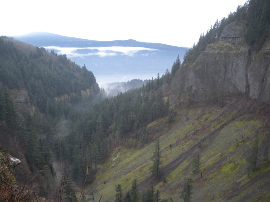
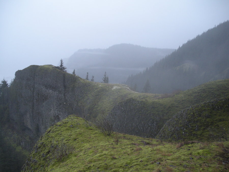
Serpent's Tail Ridge>Benson>Chinidere
22.5 miles of hiking • 5500' elevation gain •
Started from Eagle Creek TH. From Fern Creek Bridge, left the trail up a narrow gulley to gain the ridge. Magnificent varying ridge hiking/scrambling/climbing with great views. Hit the Benson Plateau, joined with the PCT, and continued to Chinidere where we climbed the West Face. Blustery, but great views. Descended the trail and the cutoff down to Wahtum Lake where we descended to Eagle Creek. Enjoyed the surroundings as the evening turned to night and headlamps were needed by 4.5 mile Bridge. A stellar varied day in the Gorge!
February 21, 2015

Powell Butte early, Hoyt Arboretum later
5.5 miles of hiking • 1000' elevation gain •
In the morning, went to Powell Butte for the Week 3 of the bird survey. Calm and mild conditions made for excellent sightings! Saw nearly nobody! The nettles are really coming up.
Went out with the family in the afternoon around the Hoyt Arboretum for a nice stroll. Some of the magnolias are already close to bloom!
February 20, 2015

Triple Cedar Extravaganza
4.5 miles of hiking • 2000' elevation gain •
Took the kid to his namesake areas of Cedar Creek, Cedar Falls, and Cedar Mt. for his 1st birthday. Due to time constraints had to do an out and back on Cedar Mt. and turned short of the highest point. Close enough for me, though. Overcast, but mild. Slight passing showers and a bit windy on the ridges. Saw my first wildflowers of the season: Yellow Violets and Columbia Kittentails down low, Grass Widows along the bald ridge!
February 19, 2015

Mt. Talbert
2 miles of hiking • 500' elevation gain •
Today was my son's 1st birthday so the family went up with mother in law for a short but enjoyable jaunt to the forested summit of Mt. Talbert. Great restored Oregon White Oak open forest on the southern slopes. The park (part of Clackamas County Parks) has some of the strictest rules compared with Portland Parks & Rec, which is a good thing: no dogs, no mountain bikes. The result, was quieter trails and less trash. Yes, please!
February 14, 2015

Powell Butte Loop
3 miles of hiking • 500' elevation gain •
Week 2 of 8 for bird survey. Beautiful morning. Lots of birds. Very few people. Had a more experienced birder friend with me, which was bonus welcomed company and knowledge. The fog broke at 136th avenue and the sunshine was beautiful. Portland was still socked in later in the morning at I-205 on my way back west.
February 13, 2015

Powell Butte Loop
3 miles of hiking • 500' elevation gain •
Spent the morning doing my "winter" weekly bird survey (week 1 of 8) volunteering with Portland Parks & Rec. Conditions were blustery with showers, but not cold. Full rain gear necessary, especially when I was off trail.
February 7, 2015

Peavine Peak (Reno, NV)
8 miles of hiking • 3250' elevation gain •
Went for half the day up the mountain in my in laws back yard. No car needed! Walked the neighborhood streets until I hit open space, used trails, drainages, and ridges to access the lower southern summit. Unfortunately, the mountain is popular with the ATV and target shooting crowd so I picked my route carefully to avoid the ATV routes. Did this by side-hilling rather than take ridges, ascend deep hidden gulleys and drainages, and take steep rough ridges where there were no trails or roads. By doing so, I had as good of a "wilderness" experience as possible up the mountain. Going down on a different route for the most direct way to the house one has to follow ATV-ridden ways, but I encountered none. Despite that, always worth it for the solitude and great views
January 31, 2015

West Hunter Creek Ridge (Reno, NV)
8 miles of hiking • 4000' elevation gain •
Visiting the in laws and had the afternoon to go on a hike. Trailhead was 10 minutes from the house. Went up a ridge with a user maintained trail until a couple miles up where the trail became an animal trail combined with cross country. Hit an old road at 7600' with increasing snow and turned around. Dropped 1000' and then dove off a ridge into Hunter Creek Canyon, crossed the creek and ascended another ridge to check out some rocky bluffs. Came across an old trail and followed it to a burned area until I topped out on the ridge. Dropped down another ridge on deer trails back into Hunter Creek at a prominent confluence. Hiked the main trail back to the trailhead to complete the loop
January 30, 2015

Powell Butte Two Loops
5 miles of hiking • 750' elevation gain •
Rode the bike out to Powell Butte this morning for a volunteer orientation about bird surveying at Powell Butte. Was shown the sites on where I would be surveying. Heard a pileated woodpecker in the stands of old trees on the SE slopes of the butte. Then, the family met me and we went out and did another loop. In the sun it was t-shirt weather...in January! I never knew one could see Mt. Jefferson from the summit! I'll be coming out to Powell Butte once a week for the next two months for the surveying starting in February.
January 24, 2015
 1
1
West Gorge Wonder
6 miles of hiking • 2000' elevation gain •
A wet day, but great vistas, forest walking, and scouting out a new off trail way to make a loop in the area. Oh, and near total solitude, as always here. Sadly, my first actual hike in the area for the year. Quite a departure from January 2014 when I did over 70 miles in 5 hikes.
January 23, 2015


 1
1
DAKOTA RIDGE HOGBACK IN WEST JEFFERSON COUNTY, COLORADO
4 miles of hiking • 750' elevation gain •
Unexpectedly ended up in Colorado last weekend for a funeral and had a couple hours the first night to get away and clear my head. Was able to walk/jog from my mother's house to this ridge a couple miles away. Ascended through scrubby sagebrush, lodgpole pine, and cactus through periodic snow to the top of the hogsback ridge, which is the first uplift of the Rocky Mountains. Great views of the Front Range and the city of Denver. Watched a nice sunset in full solitude with suburbia and the city beneath.
January 16, 2015
