

13 miles of hiking • 1500' elevation gain •
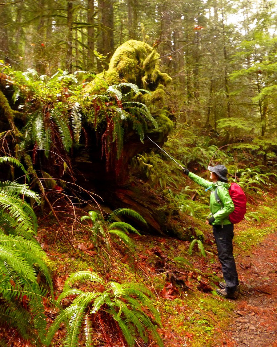
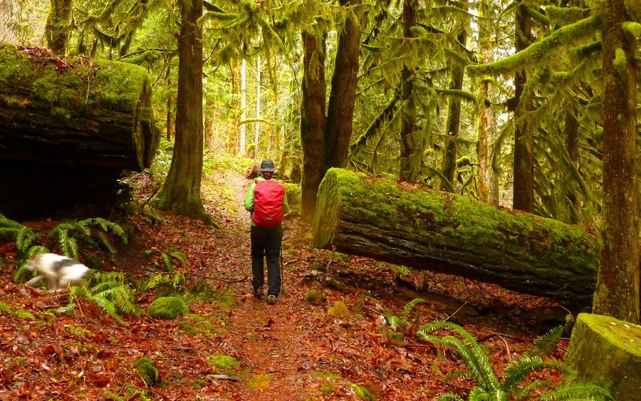
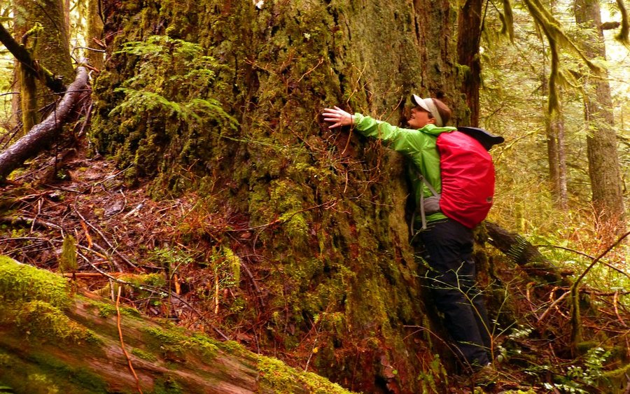
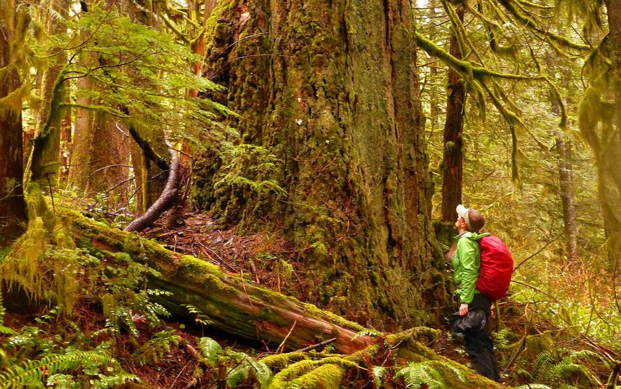
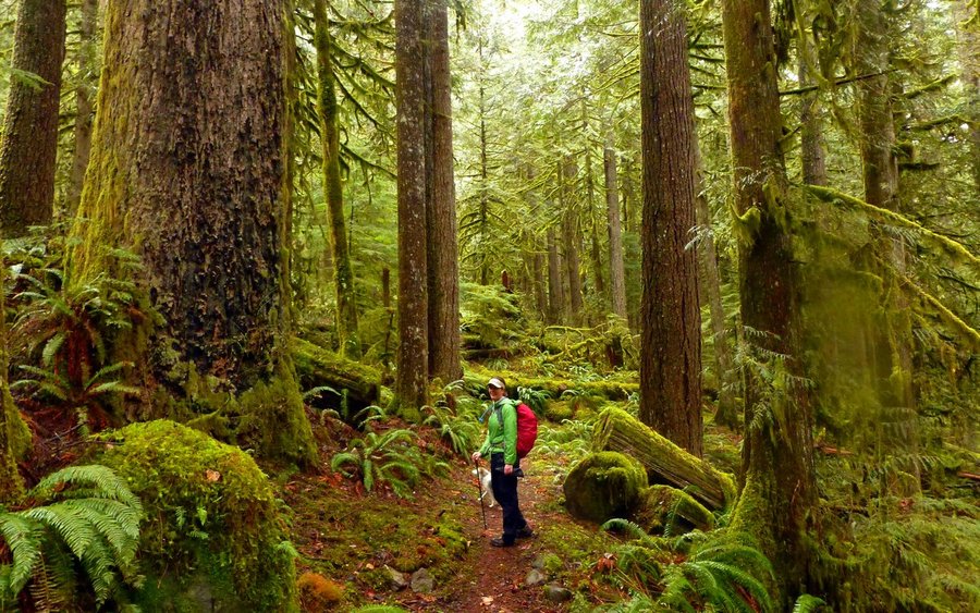
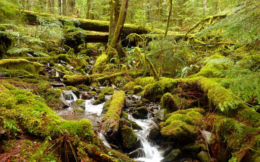
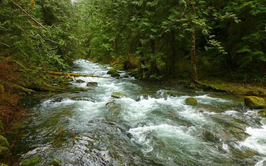
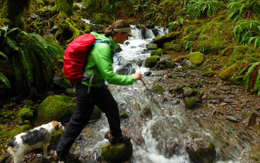
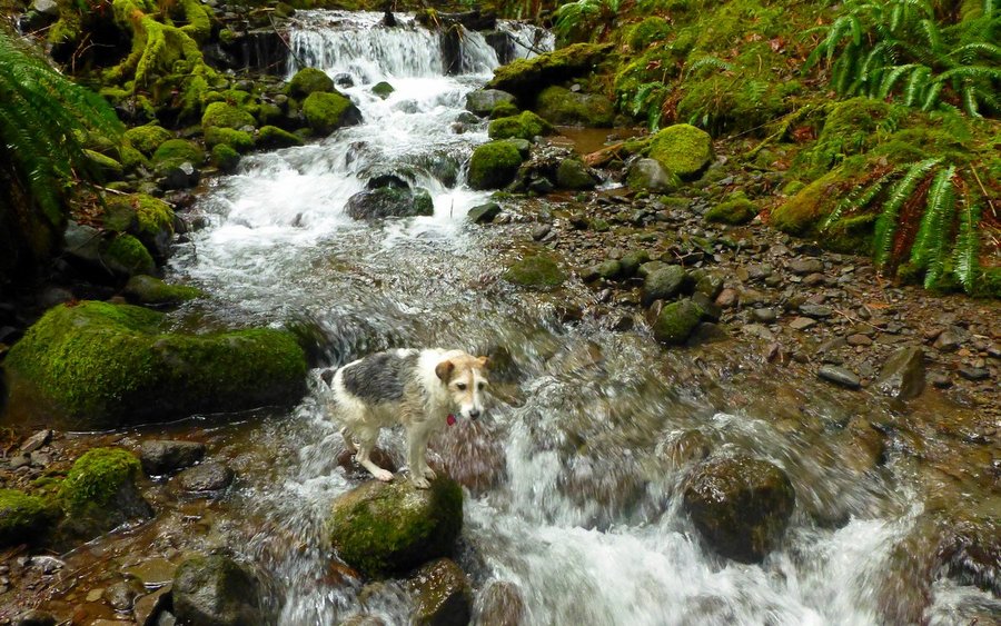
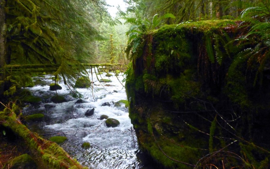
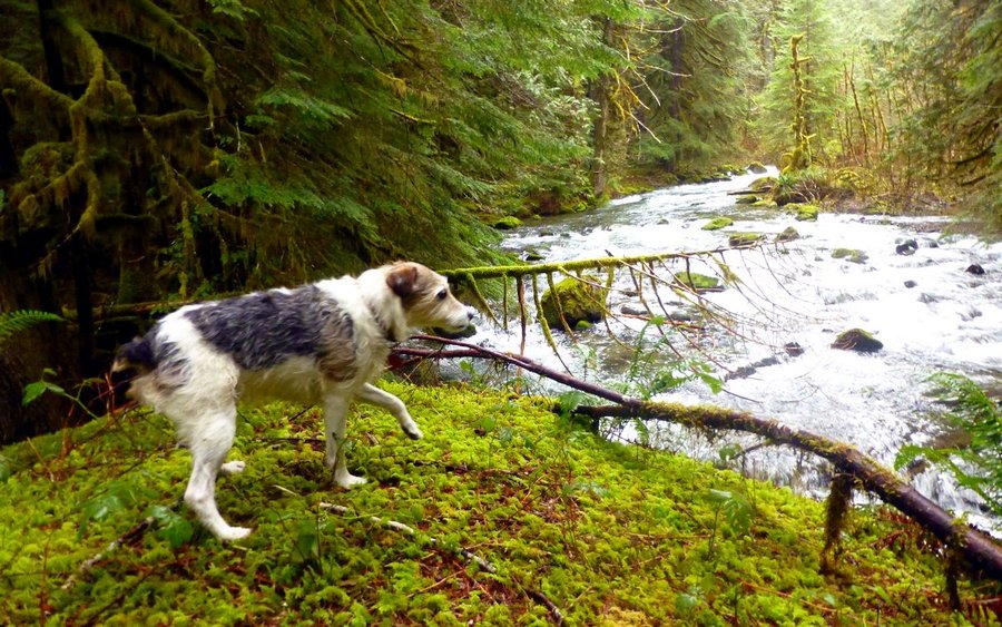
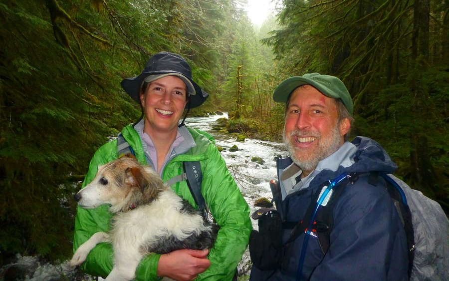
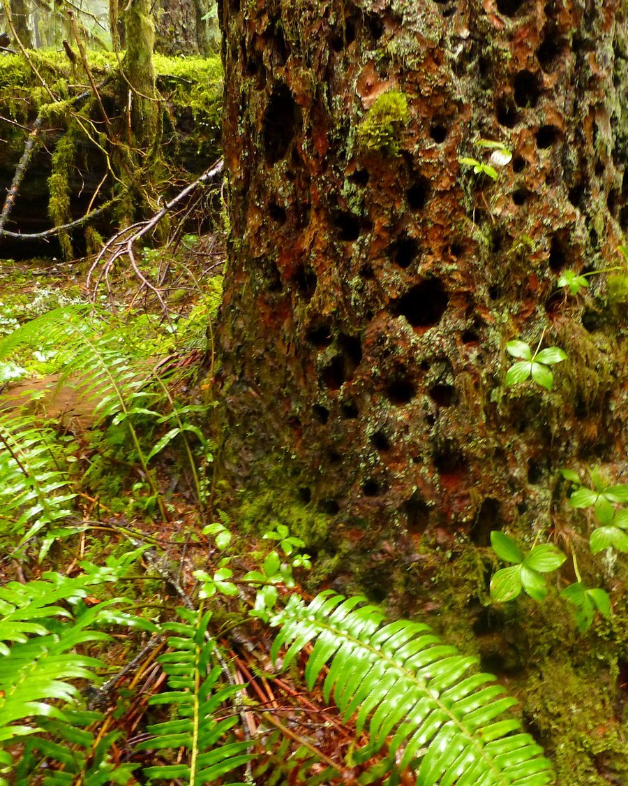
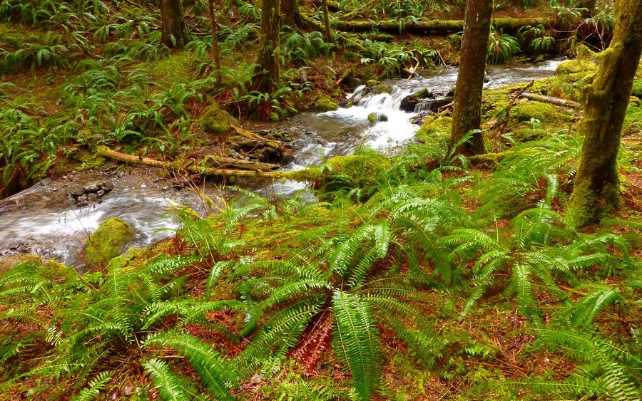
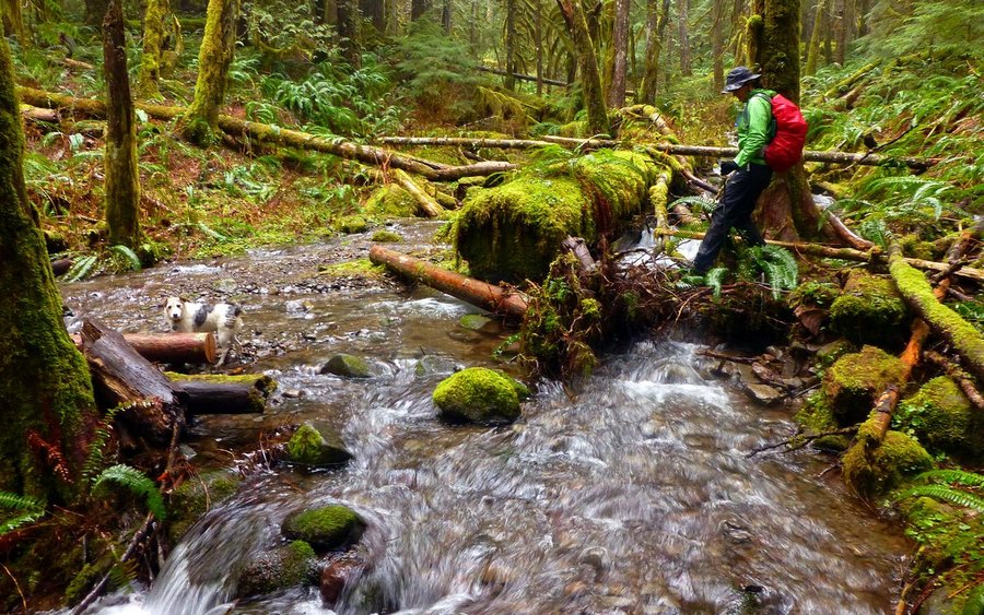
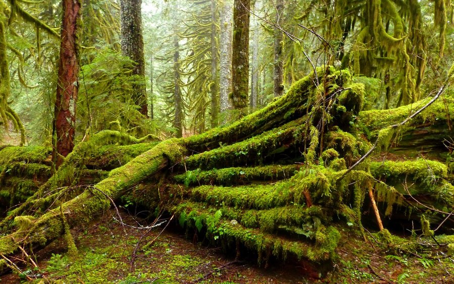
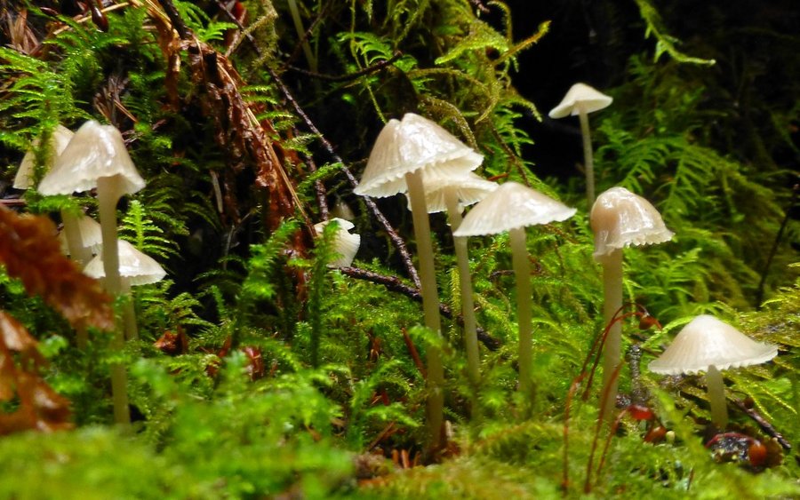
The forecast called for doom and gloom. What better excuse to head into an old-growth rain forest? It turned out to be a simply fantastic day! We hiked until we figured about half our daylight was gone, then turned around and came back out. This place is really hard to find, but worth it. Driving directions on gpsfly here: http://gpsfly.org/g/2971


Comments

Karl
February 21, 2014
I hate to say so, Elsie, but I had a really good navigator in the front seat, and pretty much just turned where she told me to! On the way out, though, I reset my GPS and made this track - http://gpsfly.org/g/2971
The road wasn't terrible. There was about 2-2.5 miles of dirt/gravel, as I recall, and it did have depressions that sort of filled lake-like. But I was always able to keep at least one set of tires on visible ground, and actually didn't feel I needed the jeep. (I think your car would be fine, as long as you go slow through the craters.)
Elsie
February 21, 2014
How was the access road - rough or potholey? I see you used the Harvey Rd access - was the PH driving directions pretty accurate? Any tips additional on finding the TH? :)