

2011 Trips


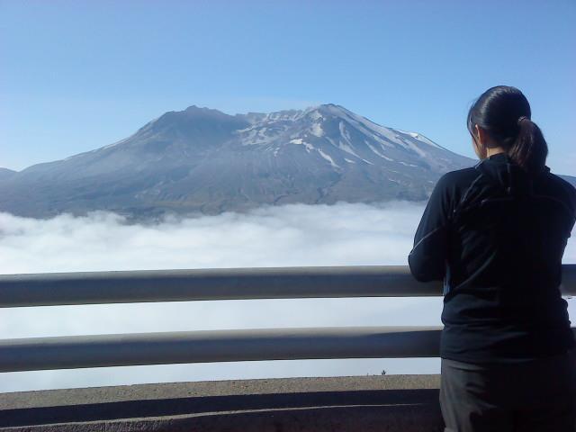
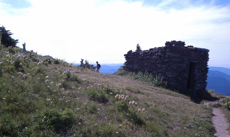
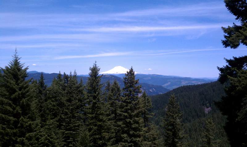
Mt. St. Helens - Monitor Ridge
10 miles of hiking • 4500' elevation gain •
Trip Report and Photos soon.

September 8, 2011

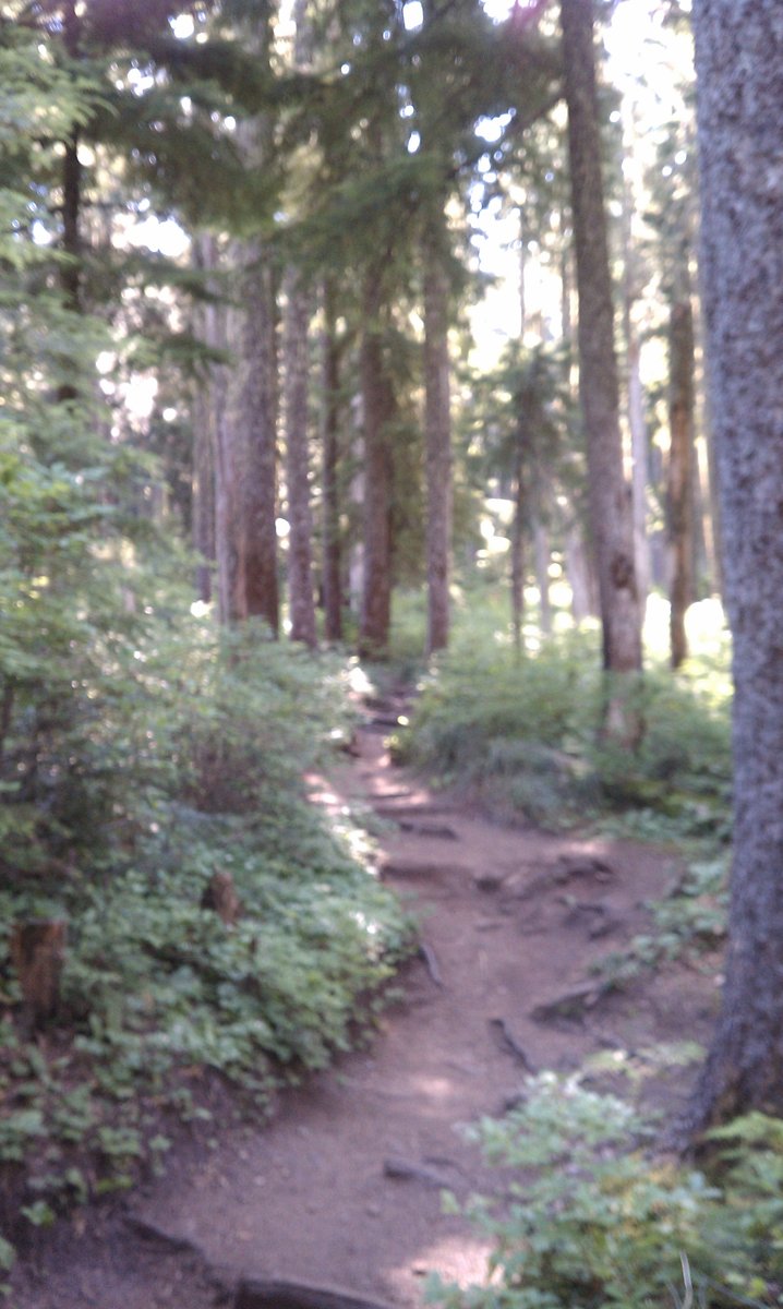
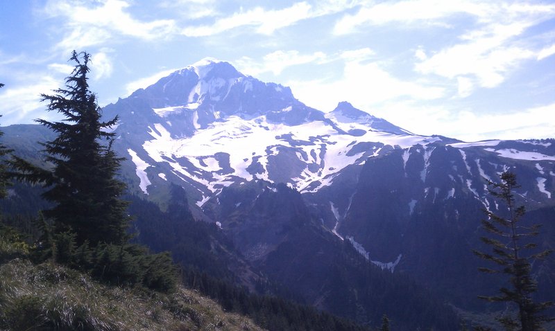
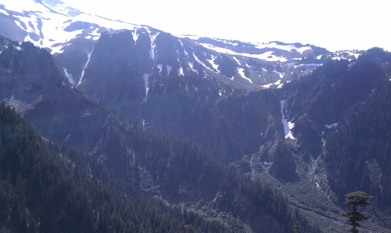
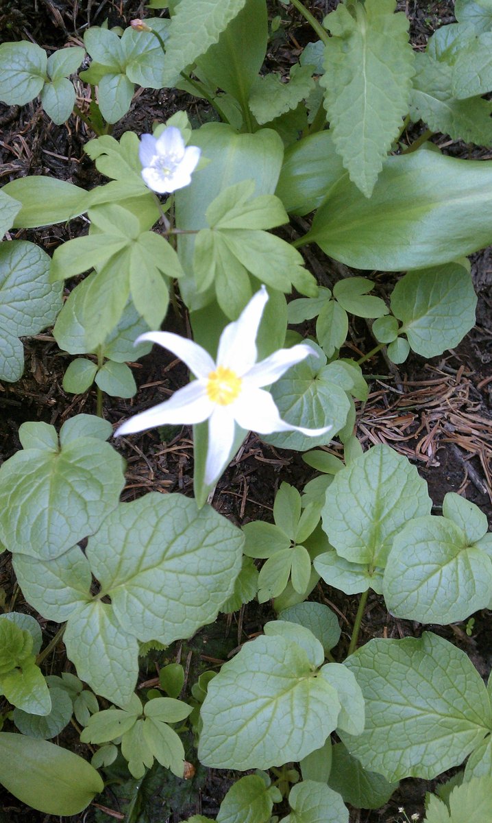
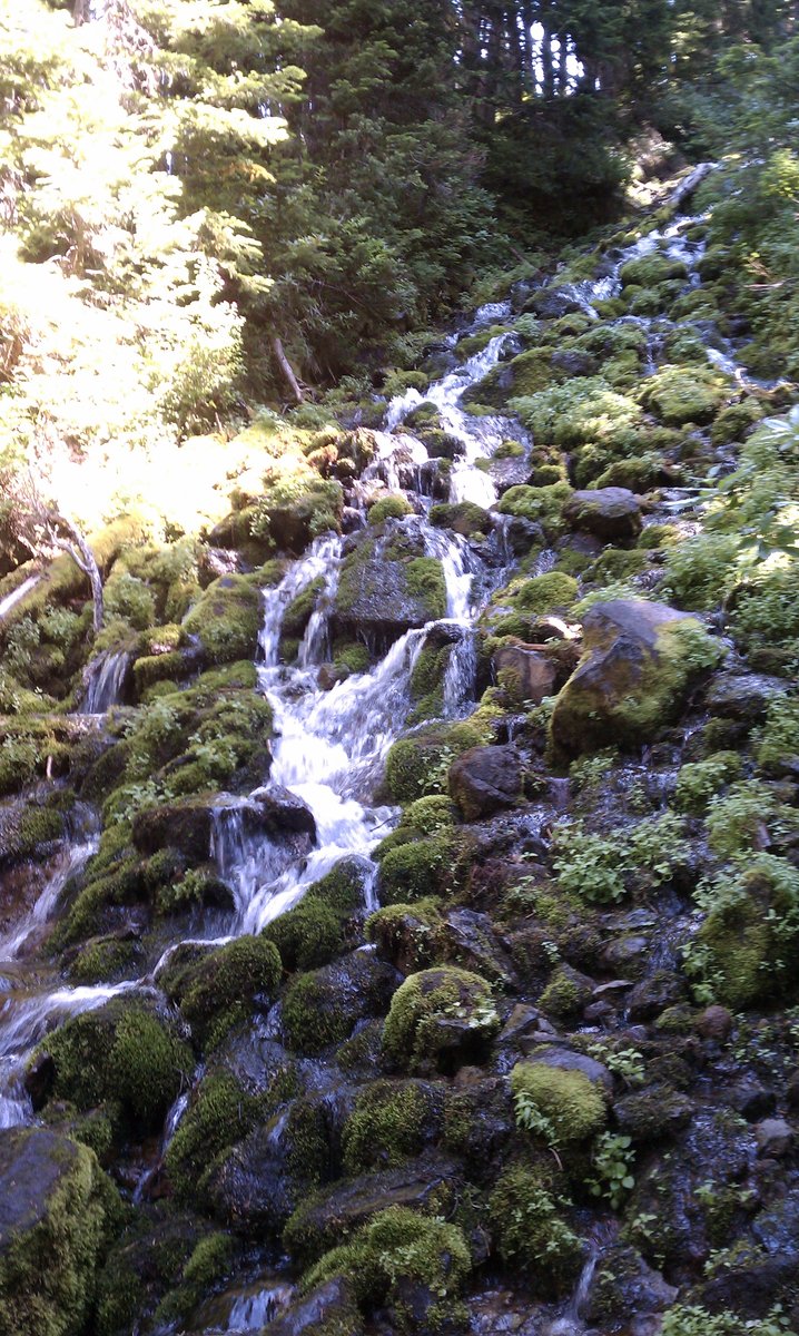
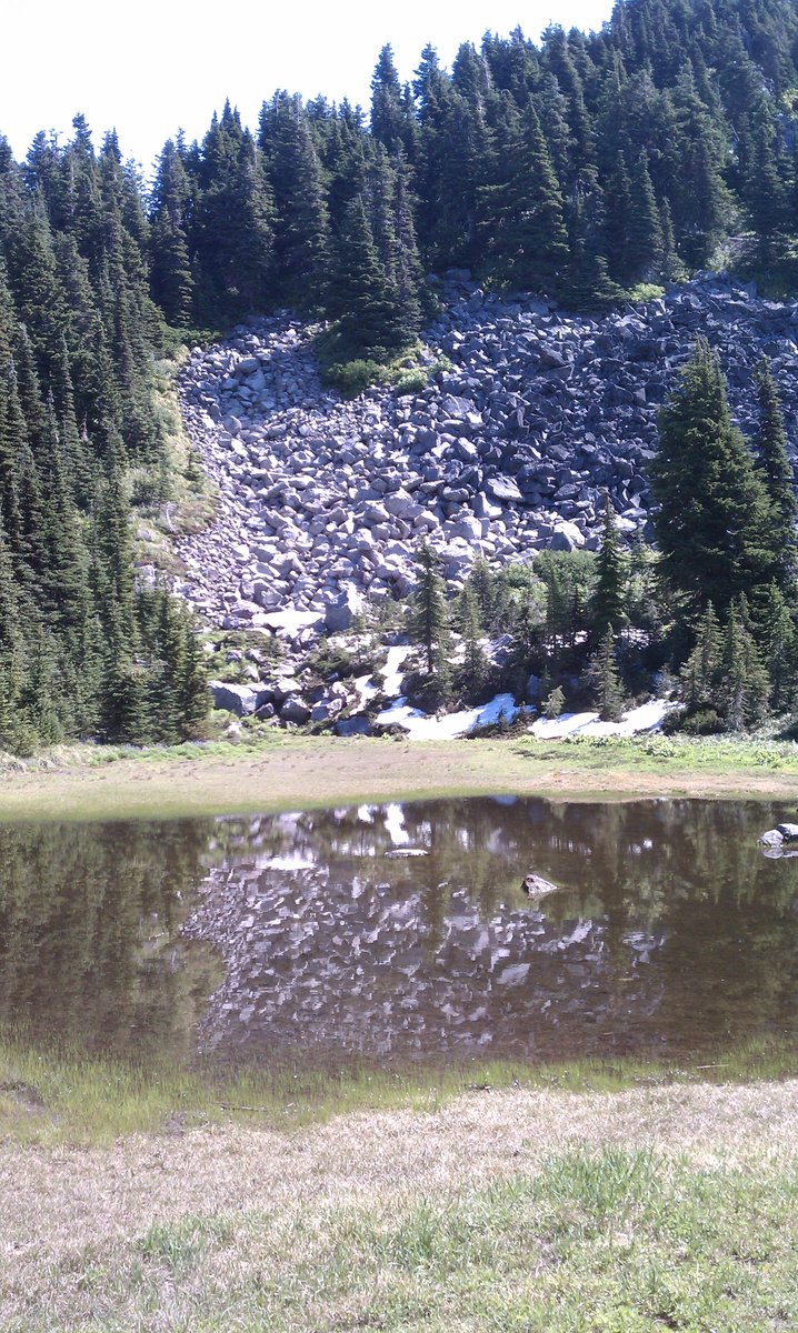
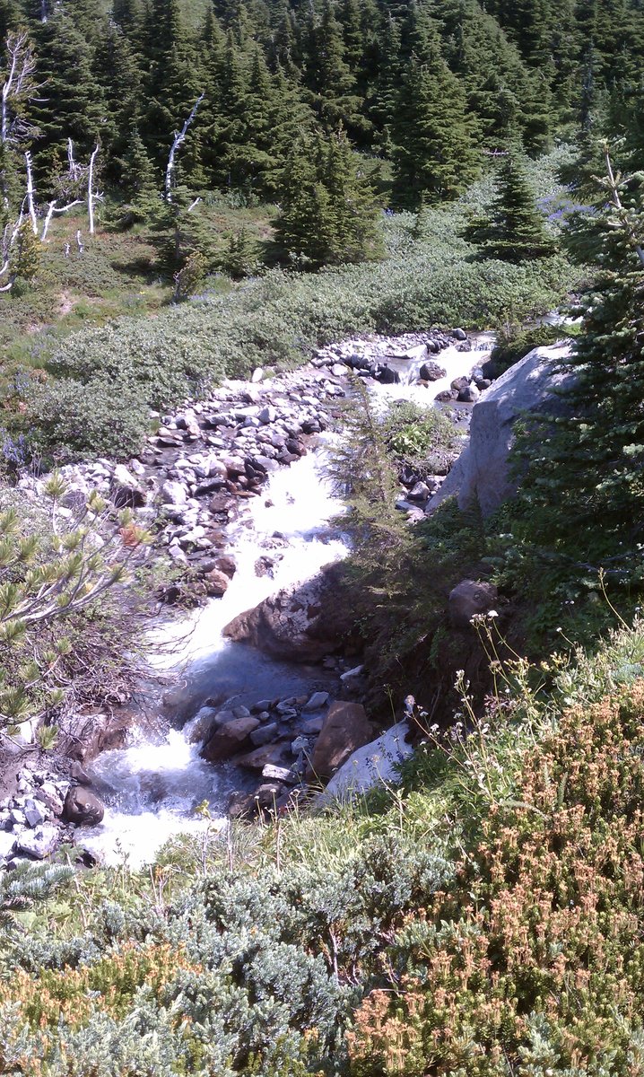
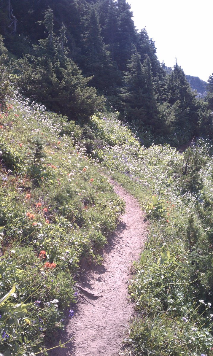
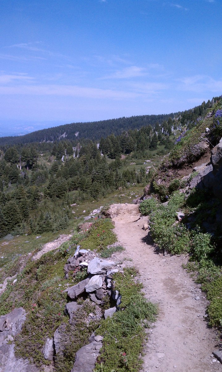
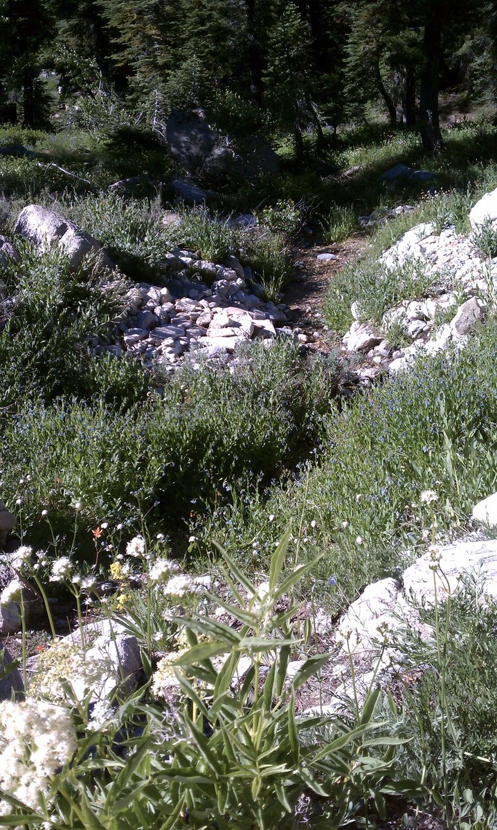
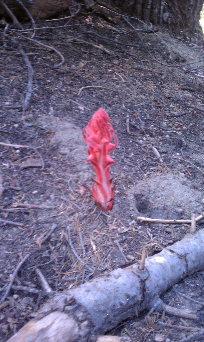
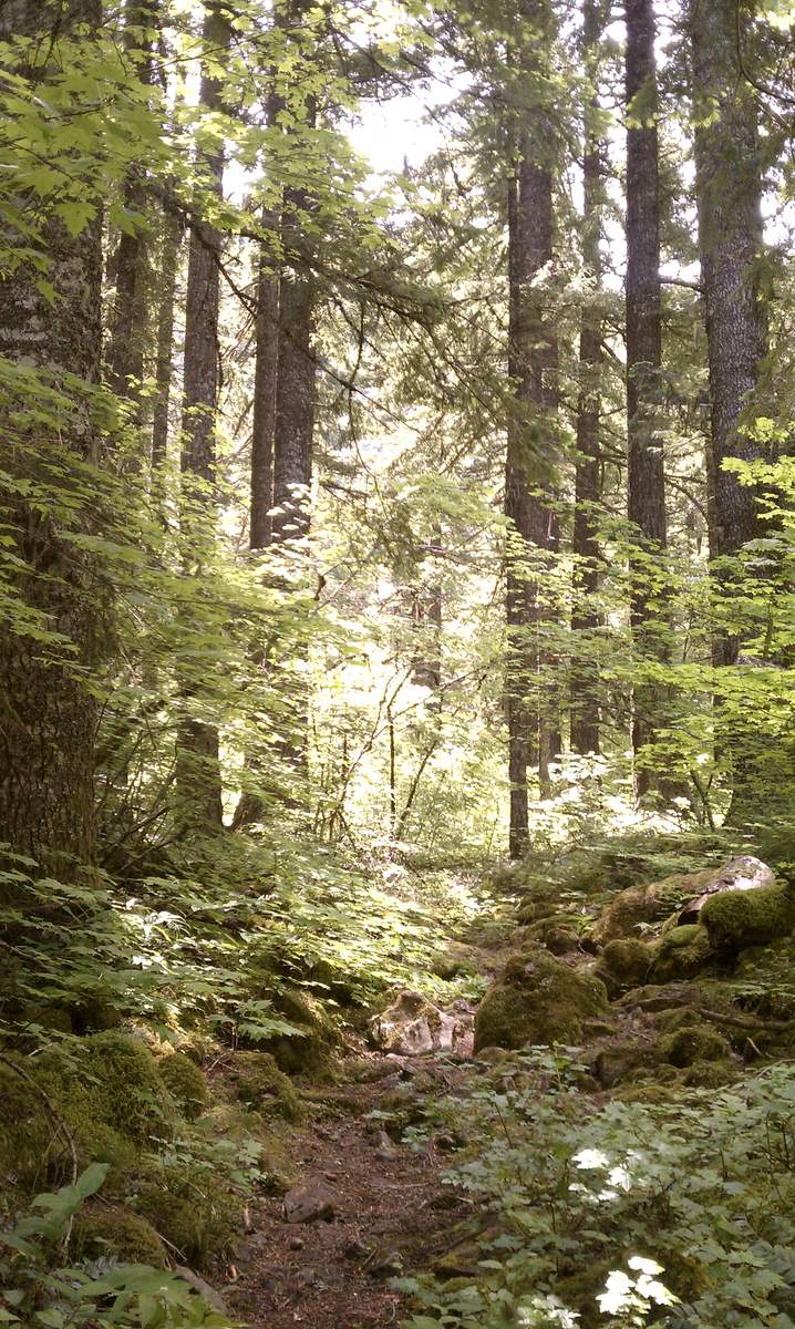
McNeil Point
10 miles of hiking • 2250' elevation gain •
Arrived at the Top Spur trailhead at about 9:40am. Trailhead parking was packed, so we went past the trailhead and parked on wider area on the side of the road.
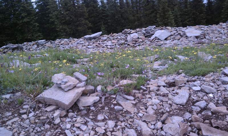
We took our time hiking to McNeil point. Awesome views of Mt. Hood, lots of huckleberries, lots of wildflowers, and still a small amount of snow.
Wildflowers included paintbrush, lupine, avalanche lily, the fuzzy remanants of Western Pasque Flowers, and many more carpeted the upper areas of the trail in a fabulous carpets of purple, pink, red and white.
The trail overall was in very good condition. There were only a few areas where we had to go through either mud or snow.
August 28, 2011

August 21, 2011
 3
3
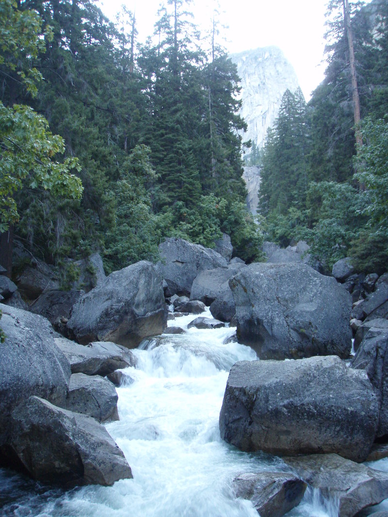
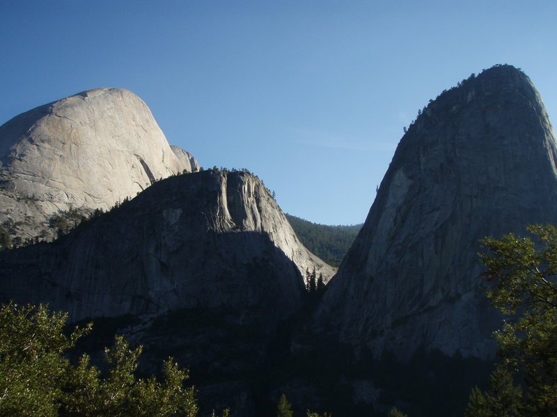
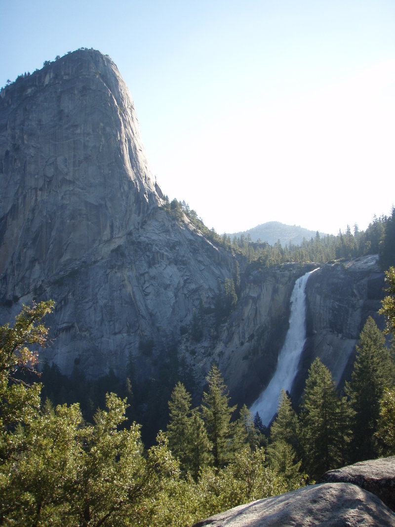
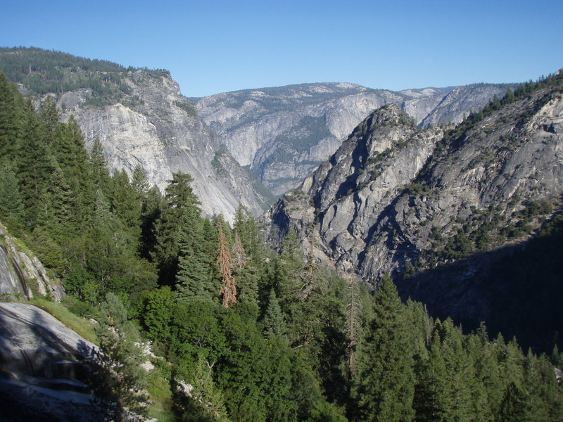
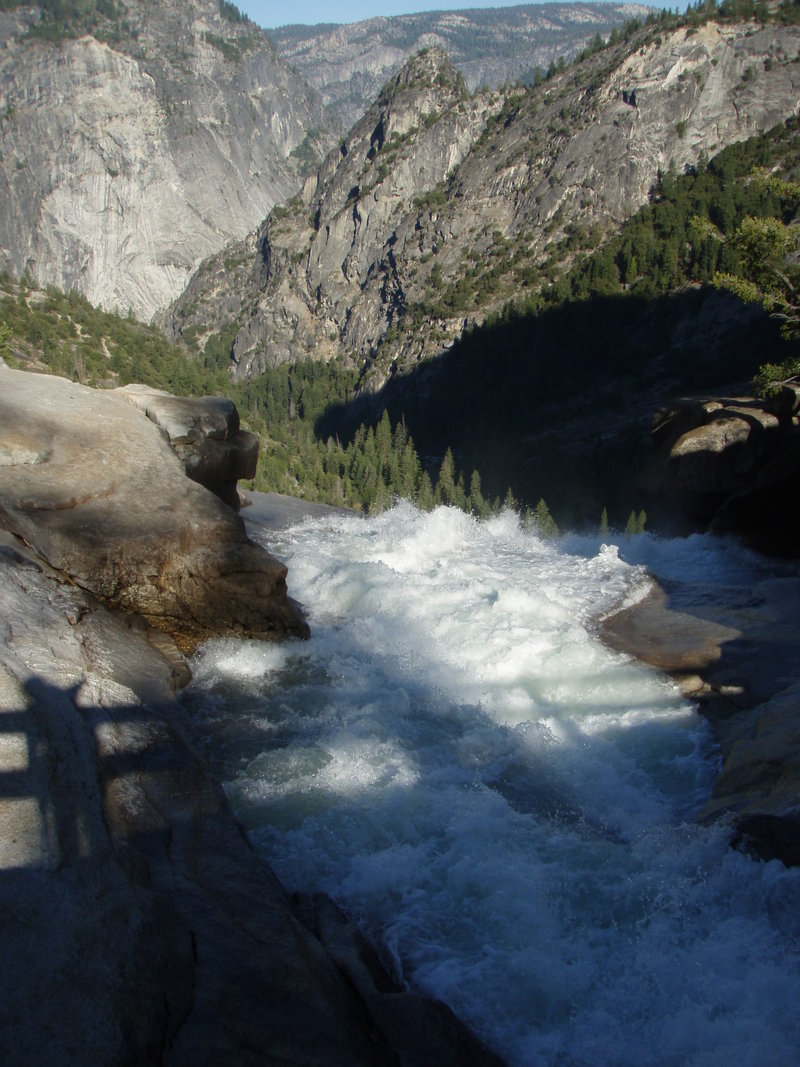
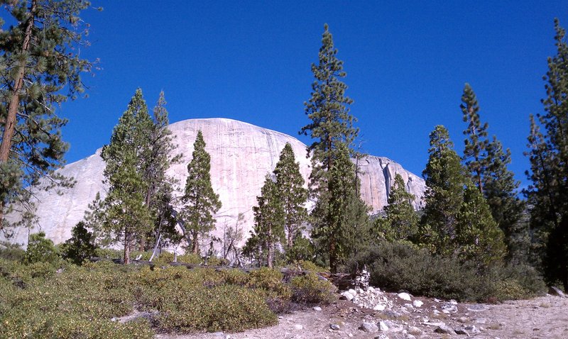
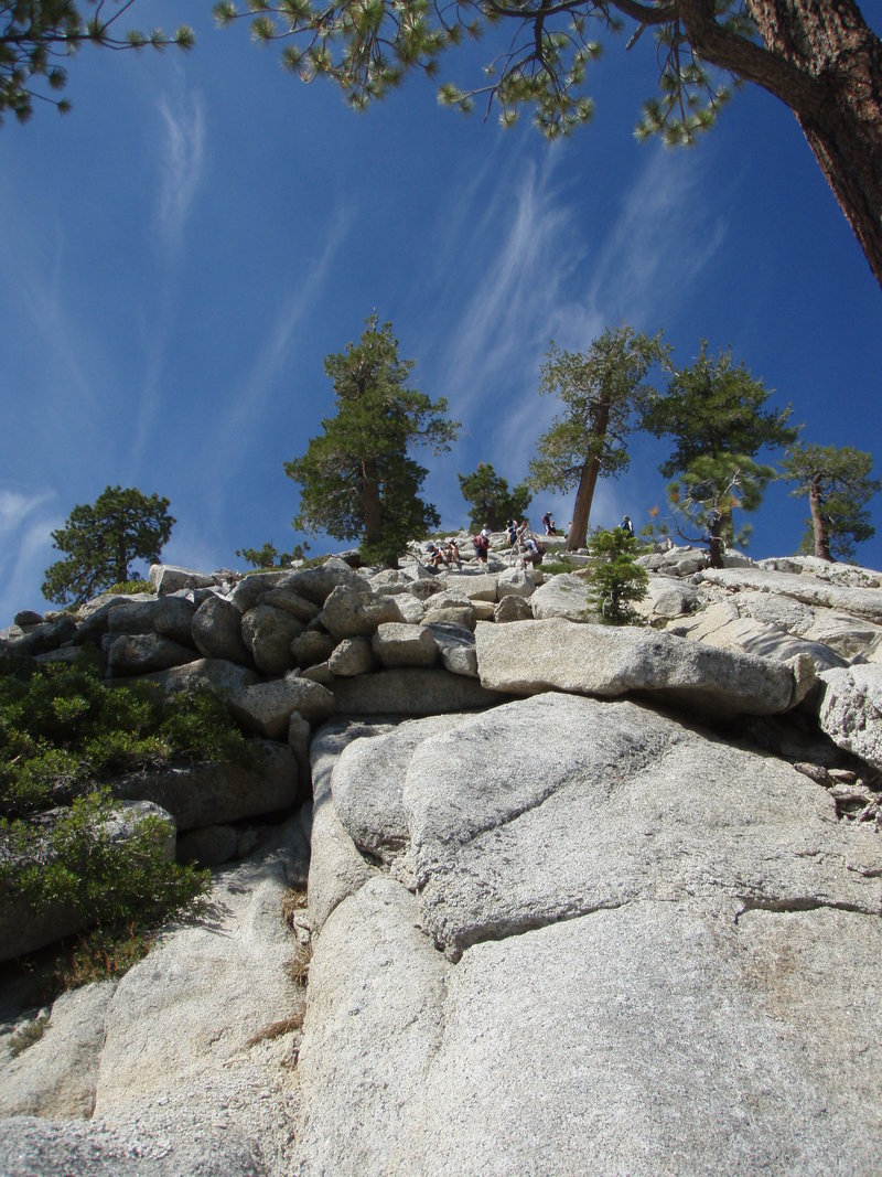
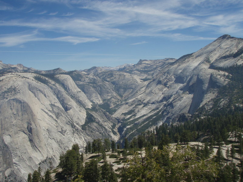
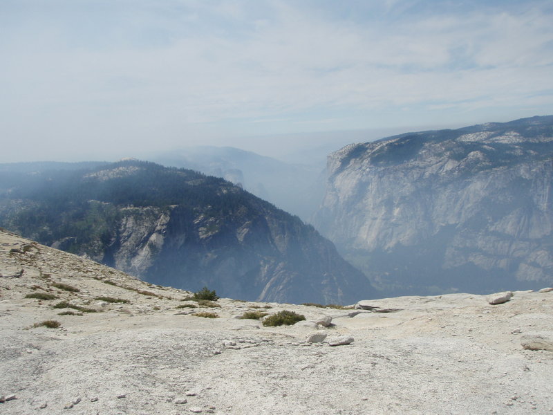
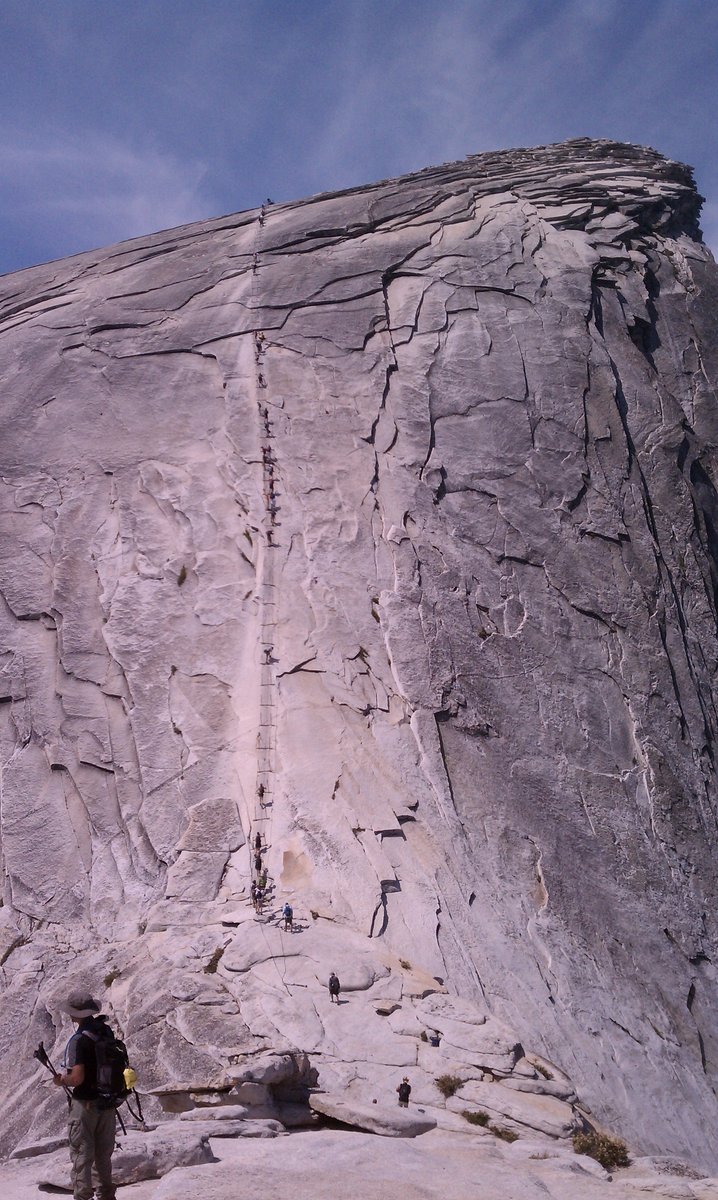
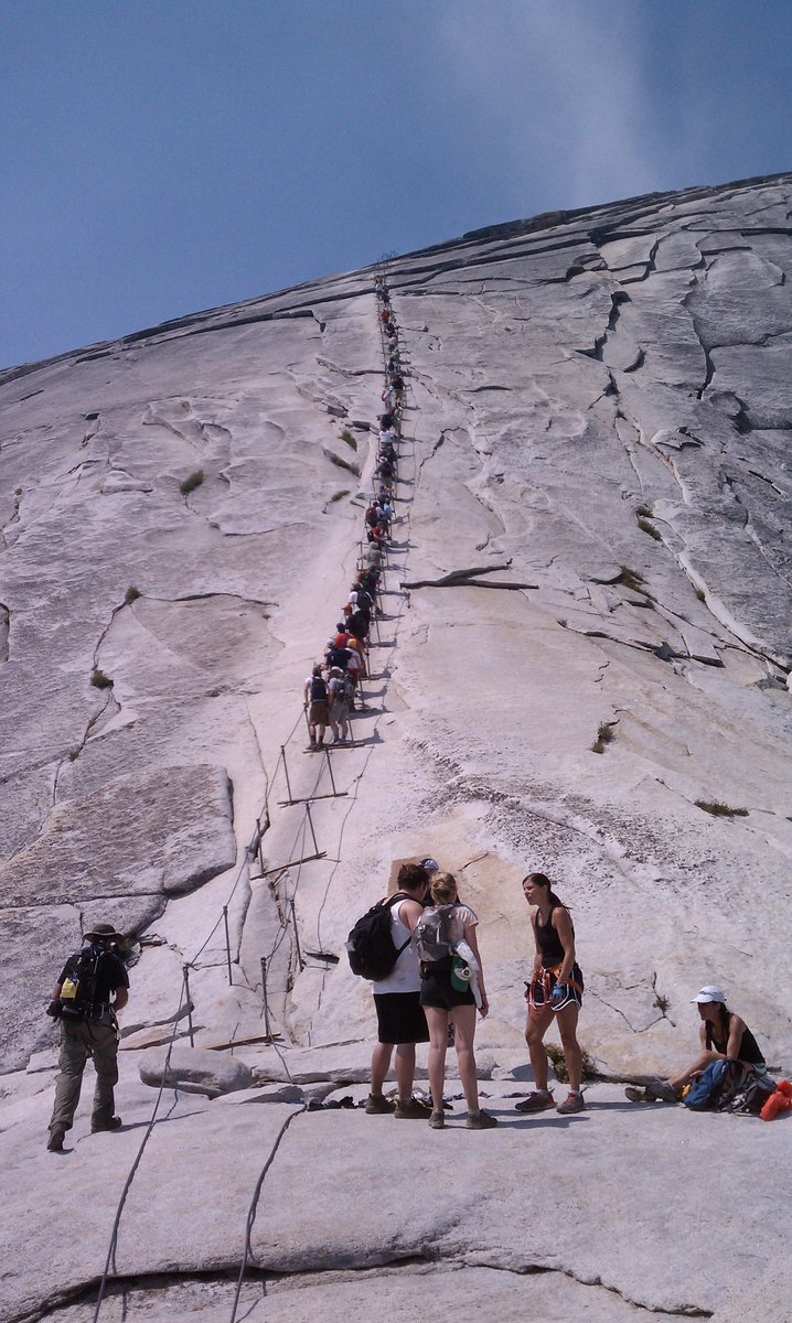
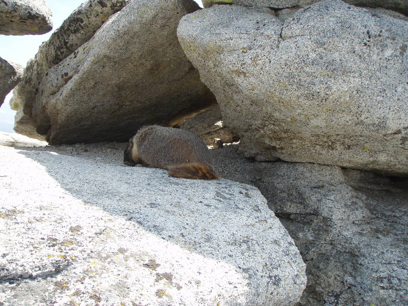
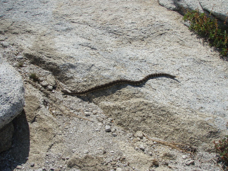
Yosemite - Half Dome
17 miles of hiking • 4750' elevation gain •
A few weeks back we were lucky enough to score permits both the Half Dome permit area and a campsite in Yosemite Valley. Since both of these are rare finds in August, there was no way I was going to say no, despite the mild cold I had gotten a few days before.
We started from Upper Pines shortly before 6:30am, taking the John Muir trail to above Nevada Falls (junction of the Mist Trail) where we found quite a crowd of hikers taking a break before heading further up the trail to Half Dome. From there we were constantly playing leapfrog with multiple other groups all heading up the trail.
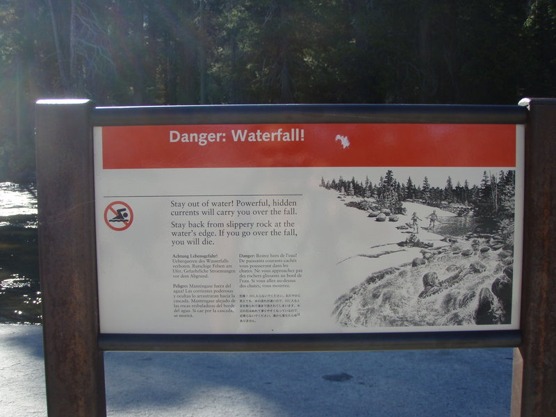
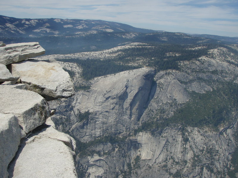
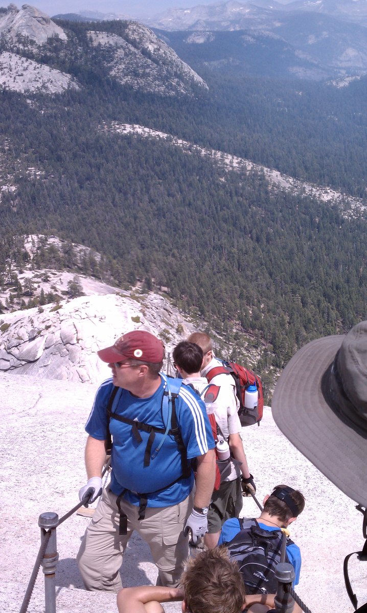
We reached the permit area, just below the subdome, a little after 11am where two rangers were stationed to check permits to their pre-printed list of permit holders. From there we were on our way up the stairs on the subdome. We reached the cable area around noon. At this point we took a few minutes to put on our climbing harnesses paired up with a daisy chain and carabiner to clip onto the cables. The cable area up half dome is steep and crowded. I don't have a fear of heights, but I do have a fear of falling from them so I wanted to make the trip up the cables as safe as possible. A short while and a few traffic jams later, we were at the top of Half Dome. We stayed at the top for a little over an hour, enjoying our lunch and our slightly smoke observed views of Yosemite Valley. The smoke was blowing into the area from a lightning started managed burn on Glacier Point Road.
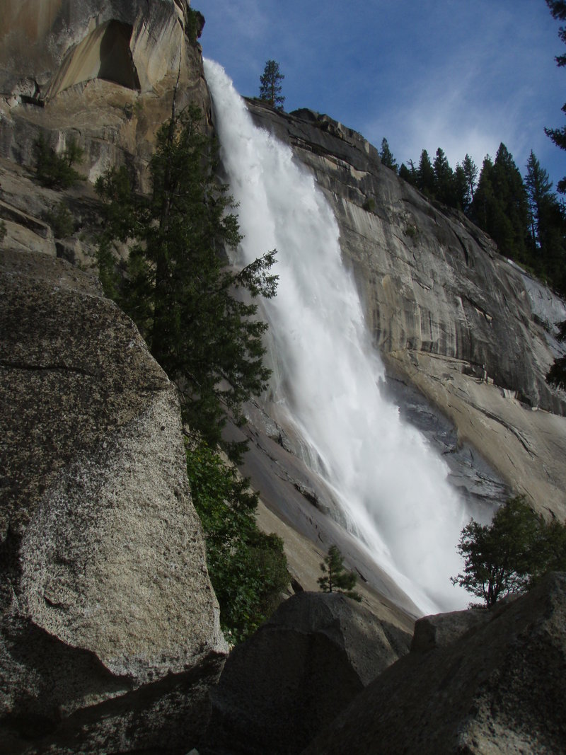
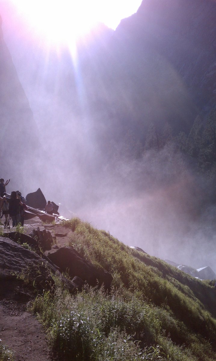
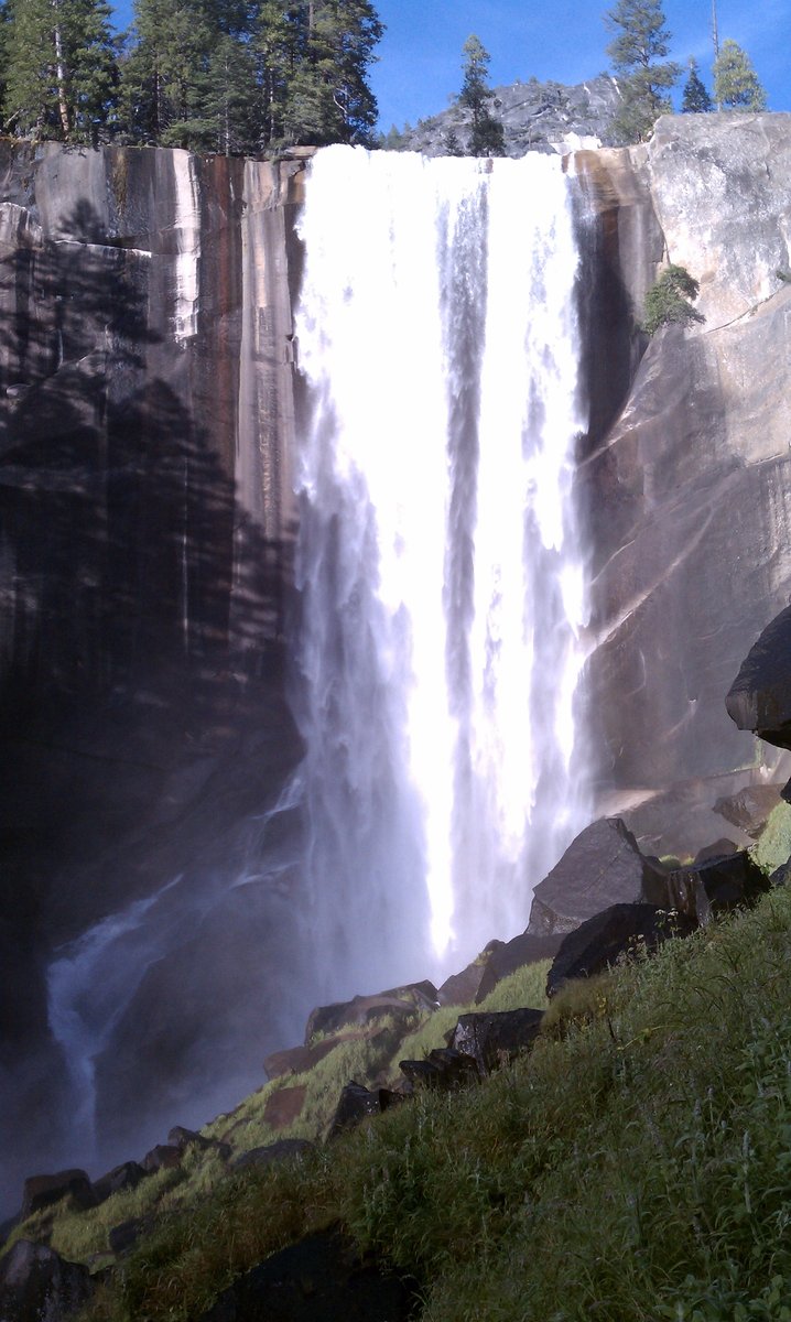
After that it was back down the traffic clogged cables and back down the trail. This time we opted to take the Mist Trail for spectacular views of Nevada Falls and Vernal Falls. We were back in camp shortly after 7pm. Just in time for dinner and a bit of relaxing before sundown.
August 12, 2011

 1
1
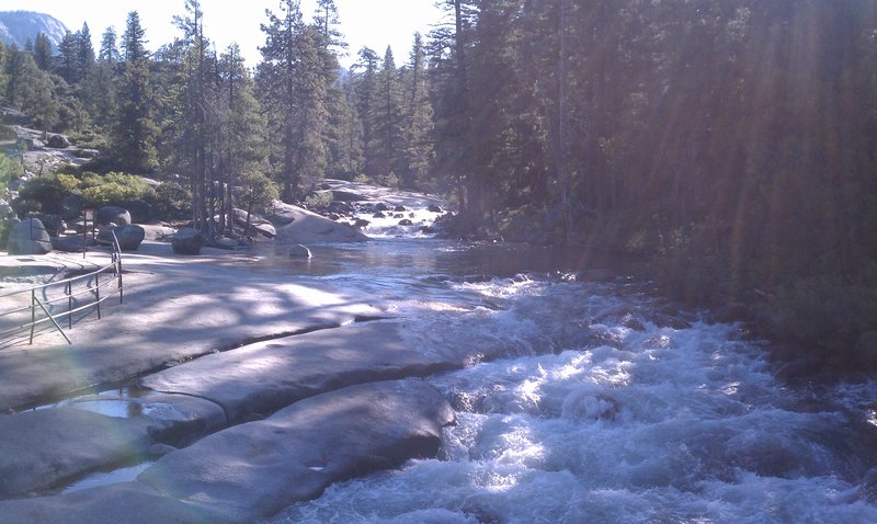
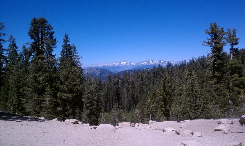
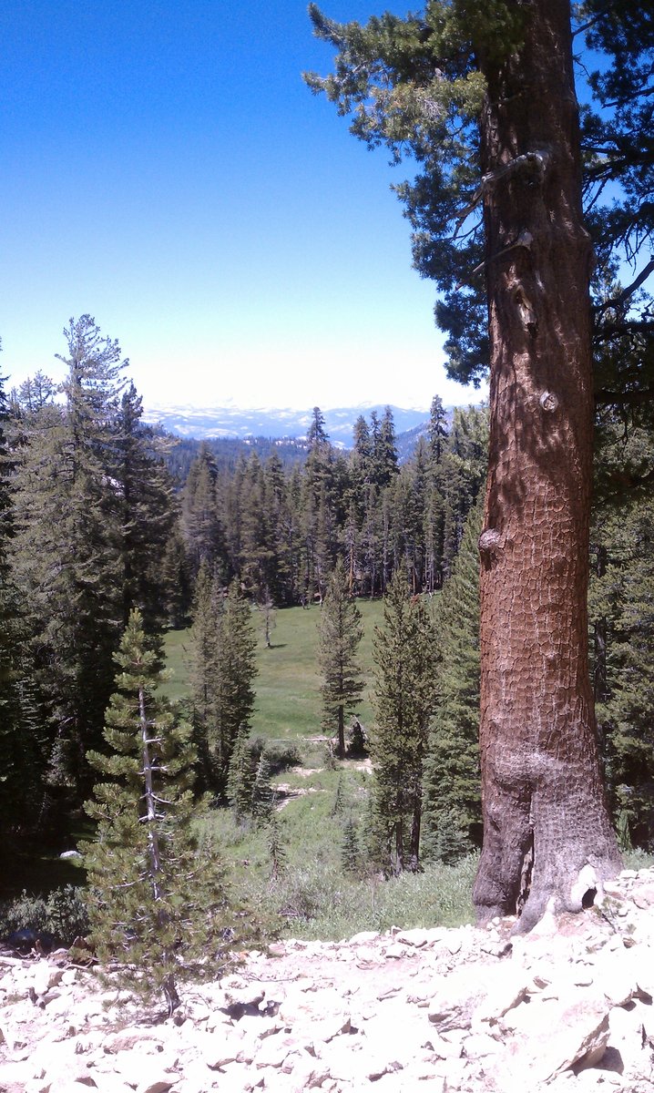
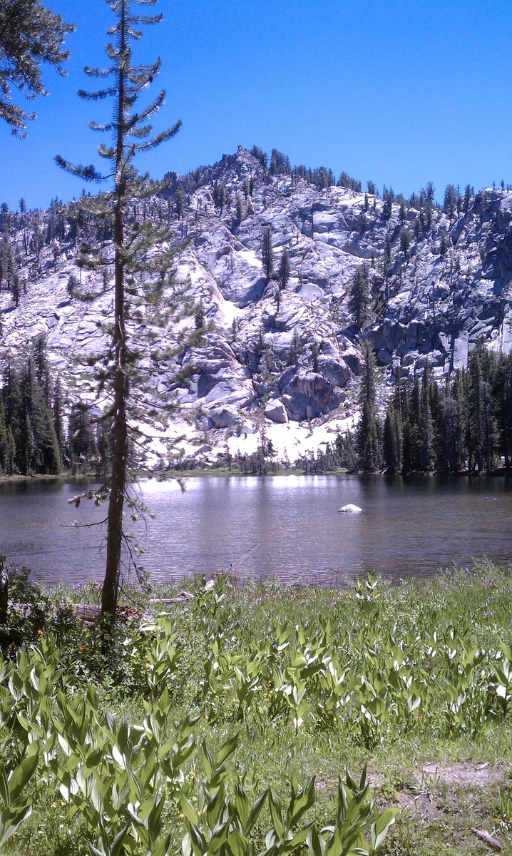
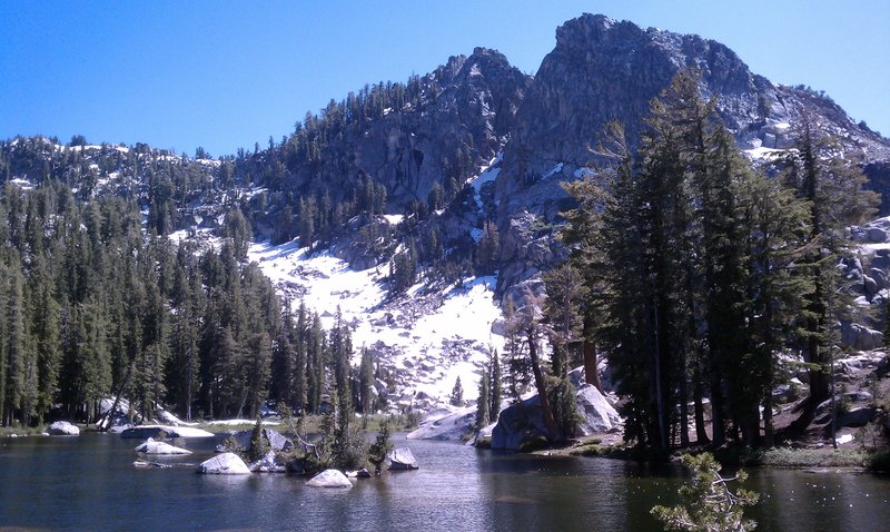
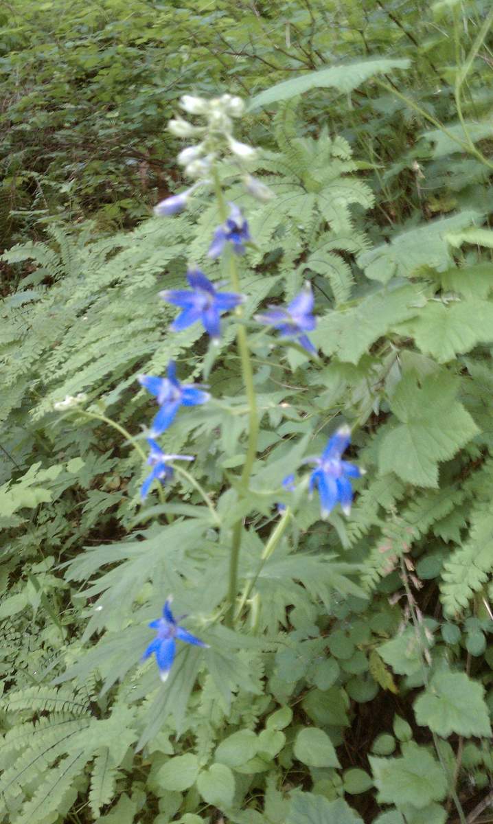
Twin Lakes and George Lake
10.5 miles of hiking • 1000' elevation gain •
Perfect day for a day hike in the central California Sierras.
This hike was an out and back, starting at the Potter Pass Trailhead (8400' elevation) along the road to Kaiser Pass. I figured it would be a good hike to get in some acclimitizing, while breaking in a new set of boots before hiking in Yosemite later this week.
Lots of late season wildflowers (lupine, indian paintbrush among many). Lots of mosquitos too.
The trail is in good condition. At this point there are still a few patches of snow off trail, and a few muddy spots on trail.
August 7, 2011


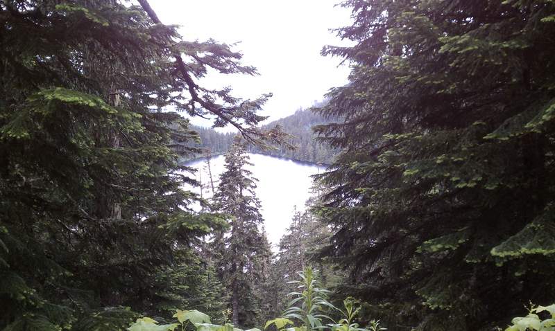
Wathum Lake
9 miles of hiking • 1000' elevation gain •
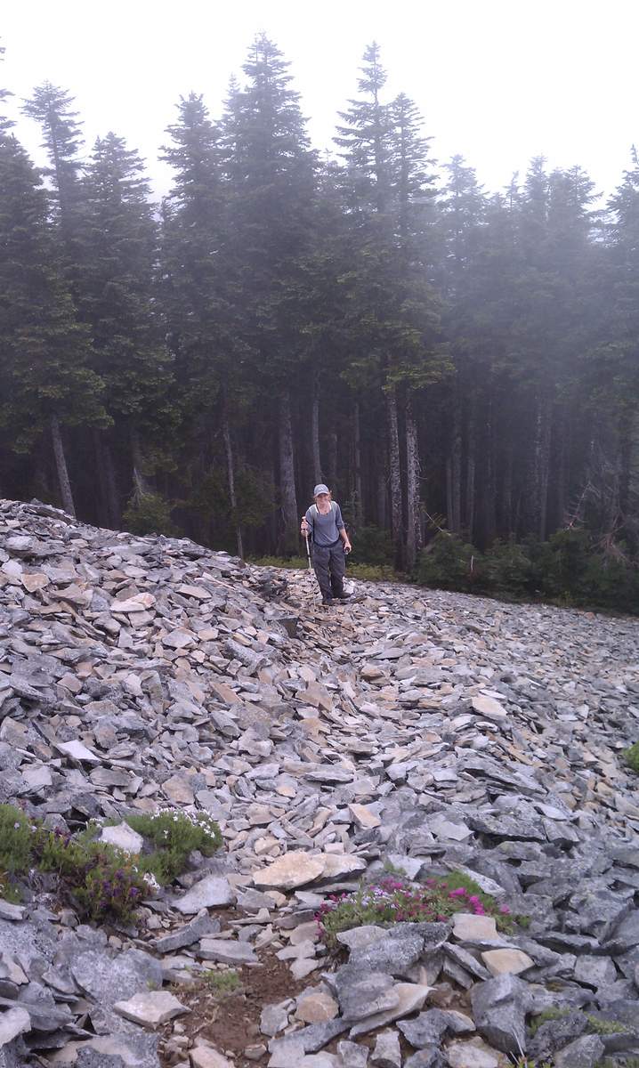
Joined up with three others to with the intent to hike to Chinidere and Tomlike Mountains.
The trail to Tomlike Mtn past the junction of the PCT and Herman Creek Trail still had a 6"+ cover of hard packed snow. Most of our group consisted of recent transplants to the Pacific NW, and since none of us are very experienced with trail-finding in the snow, we turned back and continued to Chinidere Mountain.
The trail to Chinidere is in good condition. There are still lots of wildflowers.
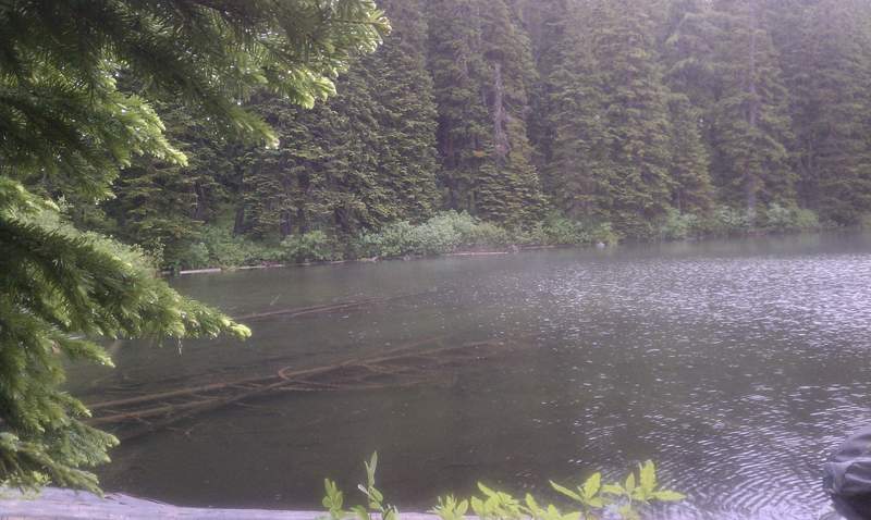
The only downside was the unusual July storm that completely obscured any views. For the rest of the afternoon we hiked a loop around Wahtum Lake and followed the road up toward Scout Lake and then an old very overgrown trail to it's shore. After a bit more exploring, we decided to get out of the rain and call it a day.
July 17, 2011

Starvation Ridge / Defiance Loop
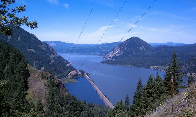
11 miles of hiking • 4250' elevation gain •
Hiked up the Starvation Creek Trail past Warren Lake to the junction to the Defiance trail.
Did not summit Defiance.
June 26, 2011

Dog Mountain
7.5 miles of hiking • 2750' elevation gain •
Hiked up the Augsperger trail and down the Old Dog Mountain Trail.
June 5, 2011

May 30, 2011

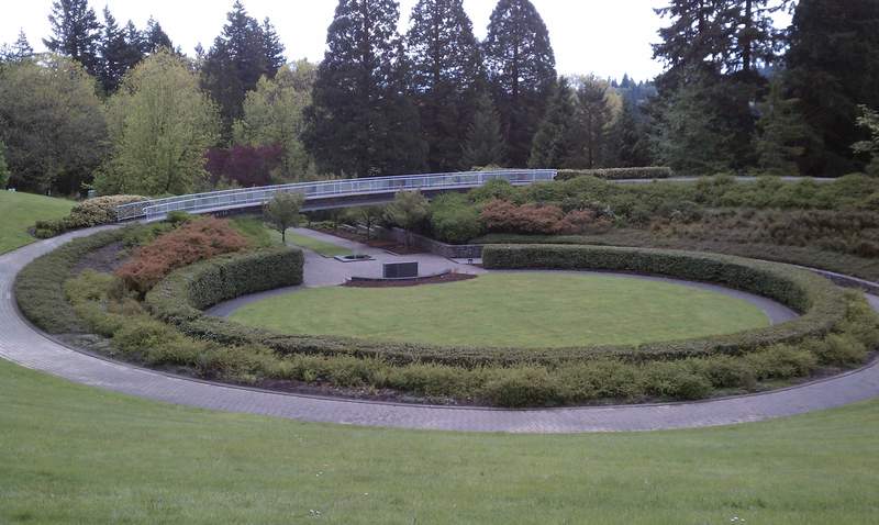
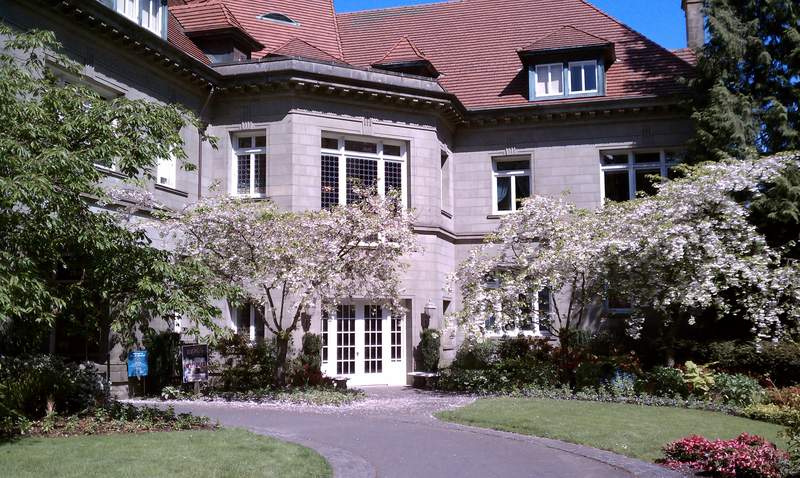
Oregon Zoo / Pittock Mansion Loop
8 miles of hiking • 750' elevation gain •
Hiked the Wildwood Trail from Oregon Zoo to the Japanese Gardens and then Pittock Mansion.
May 28, 2011

April 24, 2011


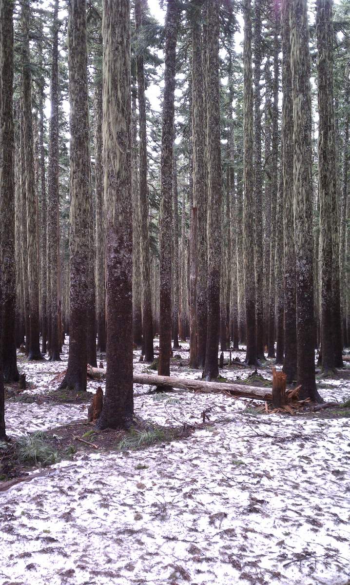
Dewey Point Snowshoe
7.5 miles of hiking • 250' elevation gain •
Snowshoe from Badger Pass to Dewey Point on a beautiful sunny day
February 13, 2011
