264 miles of hiking • 50000' elevation gain • 23 nights
Notes: Miles and EG are estimates, as we were not carrying GPS and we had three different map sets, none of which matched each other, in terms of mileage date, or any of the signage along our route. Actual EG estimation is around 51,000'.
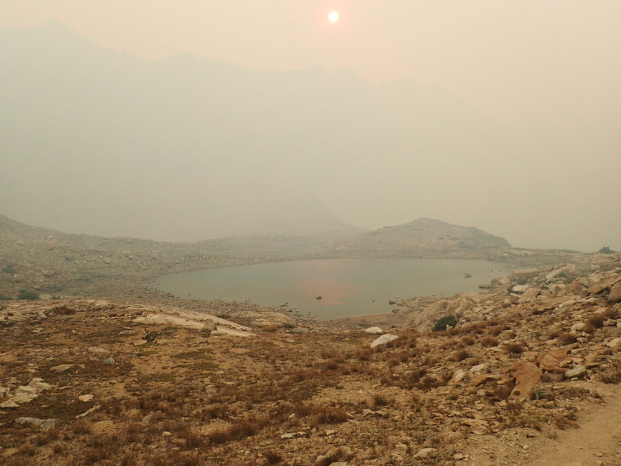
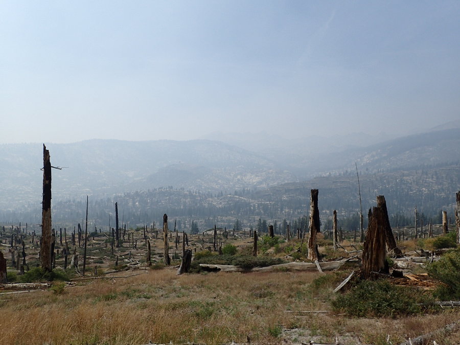
The Rough Fire was at about 30,000 acres and 0% containment when we started hiking. The closest we were to it, at any given point on the trail, was probably about 15 miles. We were never in any danger, as we were carrying an InReach and were in contact with family members who are associated with CalFire. As of today (9/19/2015), the Rough Fire is nearly 150,000 acres and nearing 70% containment.
This trip report is a work in progress...
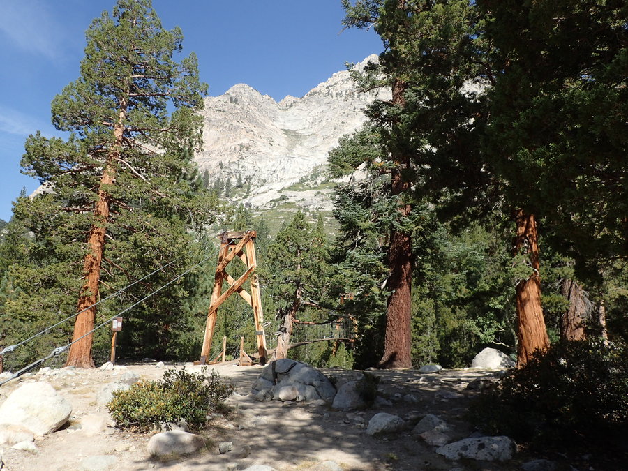
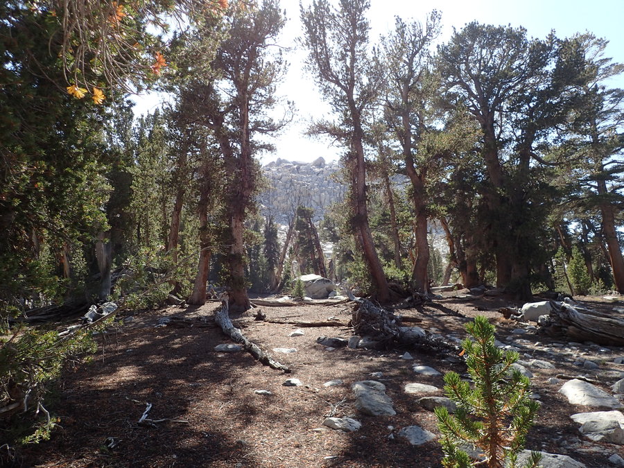
Day 1: Crescent Meadow to Bearpaw Meadow We got an early start from Fresno, driving through a very smoky Kings Canyon to the Lodgepole visitors center to pick-up our permit. First snafu, we were planning on resupplying in the town of Independence and staying there for a night. The ranger on duty informed us that our permit would not allow us to spend a night outside of the wilderness, only a "JMT permit" or "PCT permit" would allow this, and our permit, although mostly on the JMT was not a "JMT permit". After some questions, he backed down and said that he would need to get clarification, because he had not seen anything official on the matter, but that is what he had heard was being enforced. He then issued our permit and told us to go ahead with our plans.
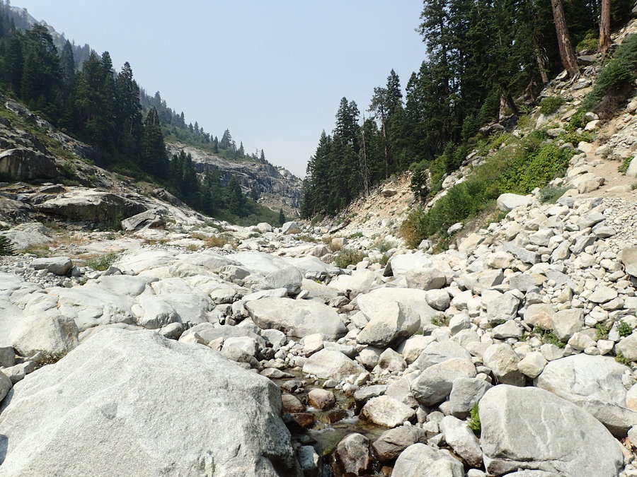
We headed to the TH, where would leave a car for the next 25 days, and started up the trail. We got the first viewpoint, which was obscured by smoke. This would get better, right? The smoke finally cleared in the evening...
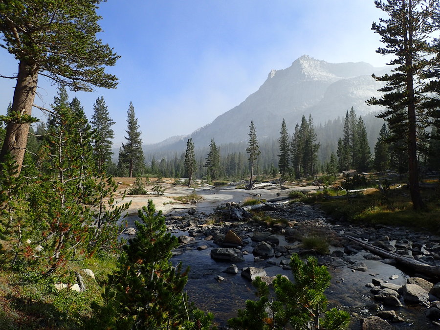
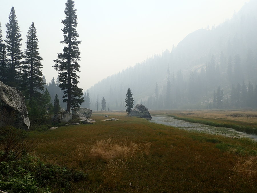
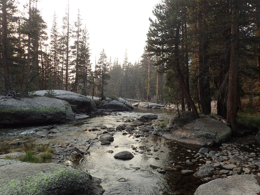
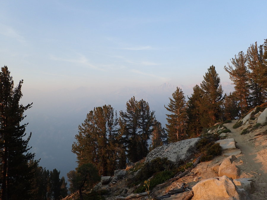
Day 2 - Bearpaw Meadow to Little Arroyo Started the day with smoke obscured views again. We passed Hamilton Lake, stopping for lunch at Precipice Lake. Smoke. We hiked over Kaweah Gap and into Nine Lakes Basin. Smoke. Black Kaweah and Red Kaweah were somewhat visible through the haze. By the time we made it to Little Arroyo, we finally got a reprieve from the smoke.
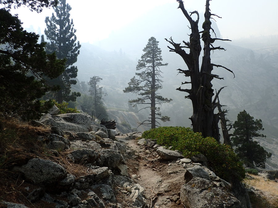
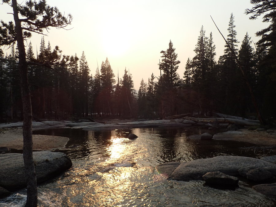
Day 3 - Little Arroyo to Kern Hot Springs Started off with a clear morning. The smoke started settling in as we descended into the Kern River Valley, but then cleared as we neared Kern Hot Springs. The hot spring itself was small, rustic, but still pleasant after several days on the trail. A single concrete tub, with an inlet, outlet, and a little algae, all behind a 3ft fence. We were sharing the camp area with a couple of smaller groups, when just before sunset, and group of eight came in and camped right next to us and on the access to the main trail. We suggested an open group site less than 50 yards away. They refused, so...
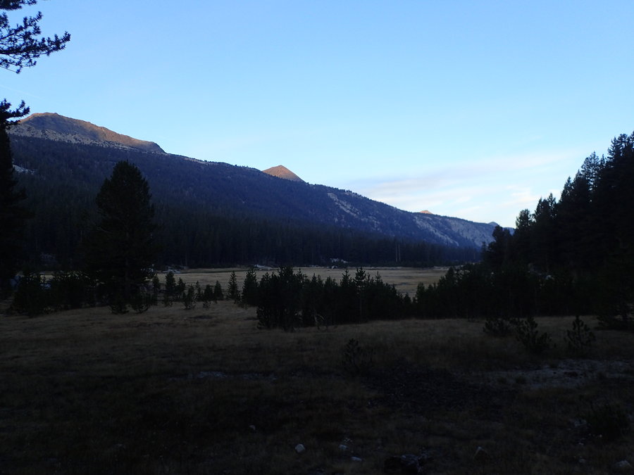
Day 4 - Kern Hot Springs to just past Upper Kern Cutoff We got up at 4:30am and left camp before sunrise, pretty much walking over the large group that rudely invaded our camp the night before. We headed up the trail toward Junction Meadow, where we stopped for lunch before diverting from the HST to head further up the Kern River Drainage. We ended up cowboy camping next to a windy, smoky, unnamed lake north of the Upper Kern Cutoff.
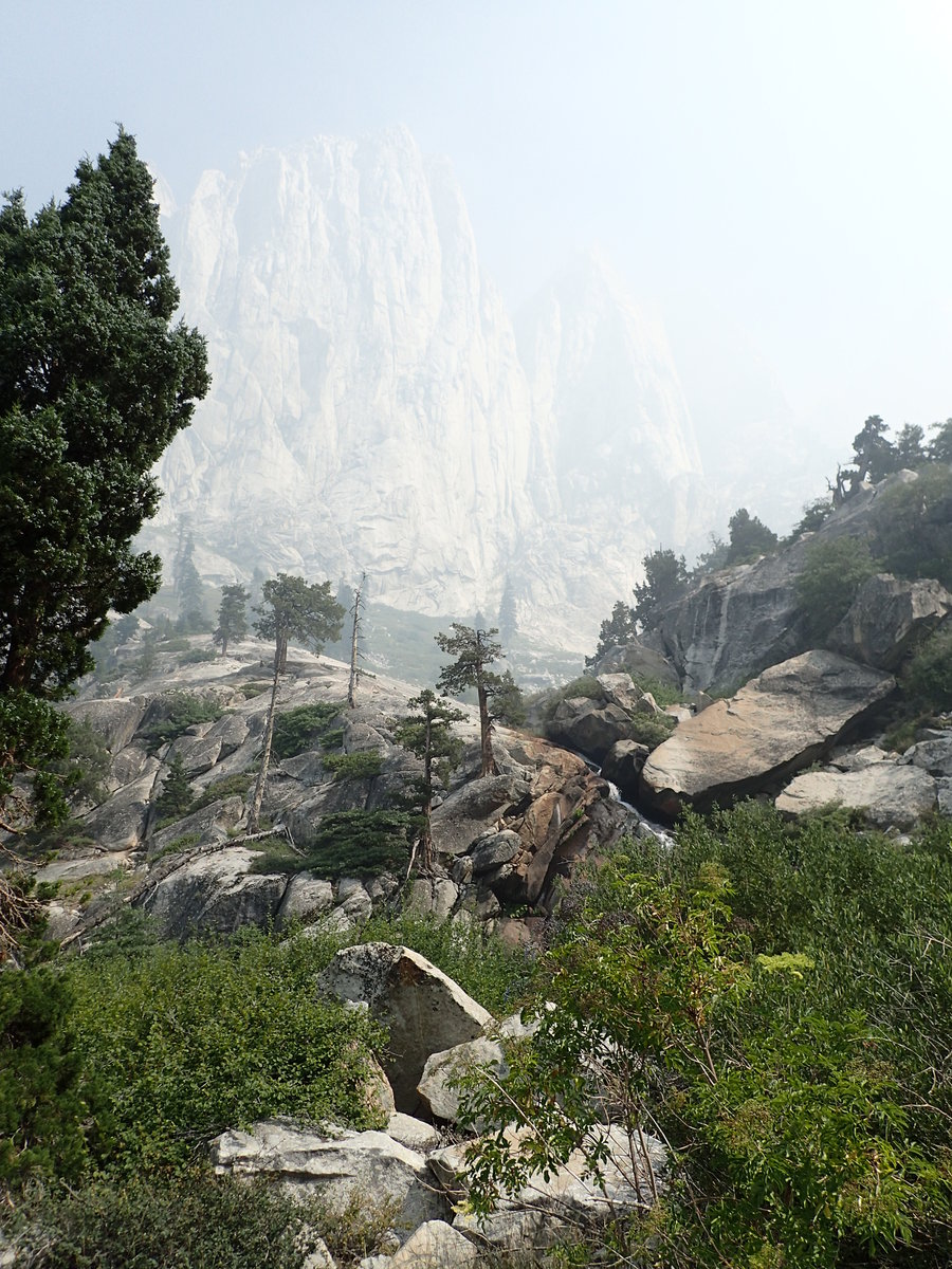
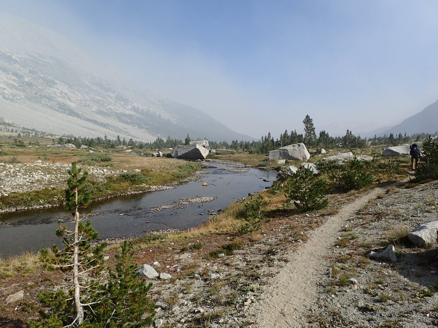
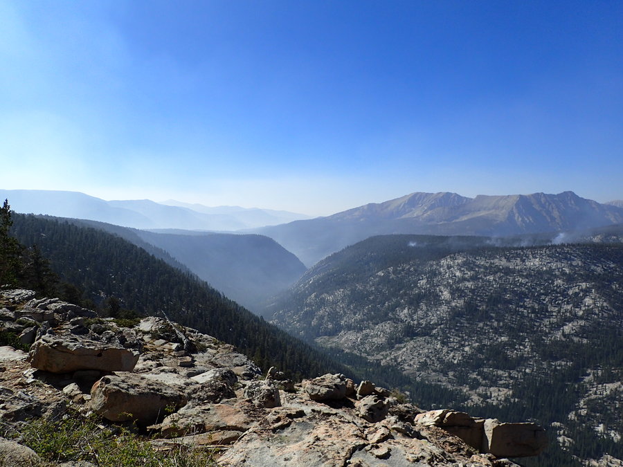
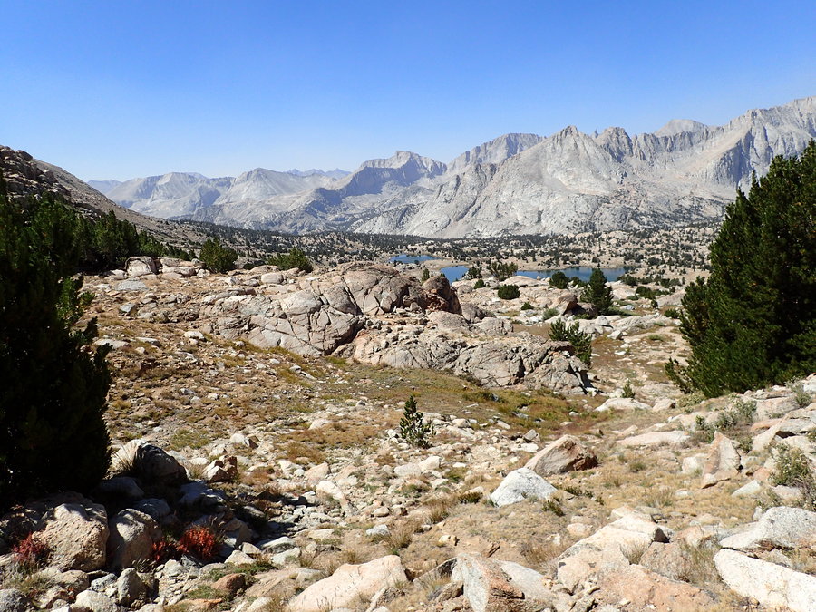
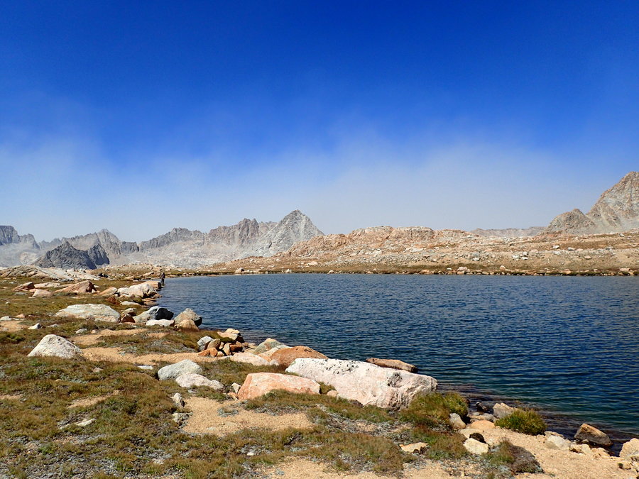
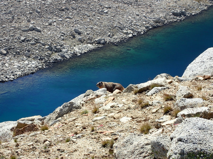
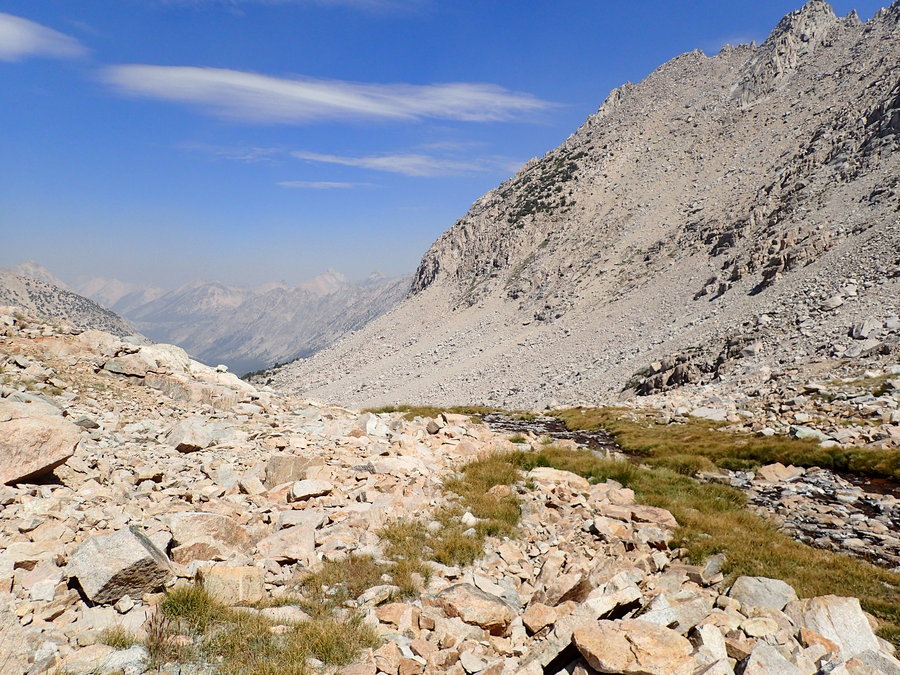
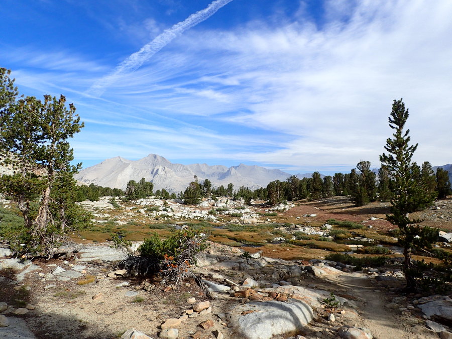
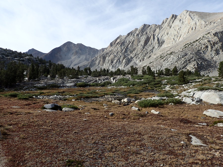
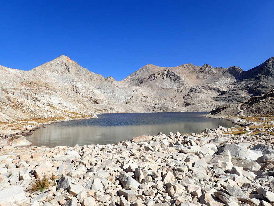
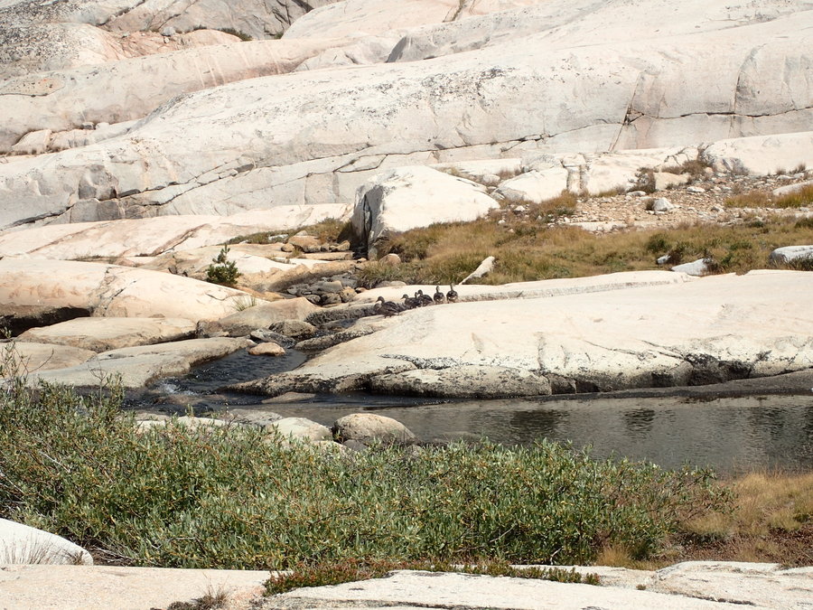
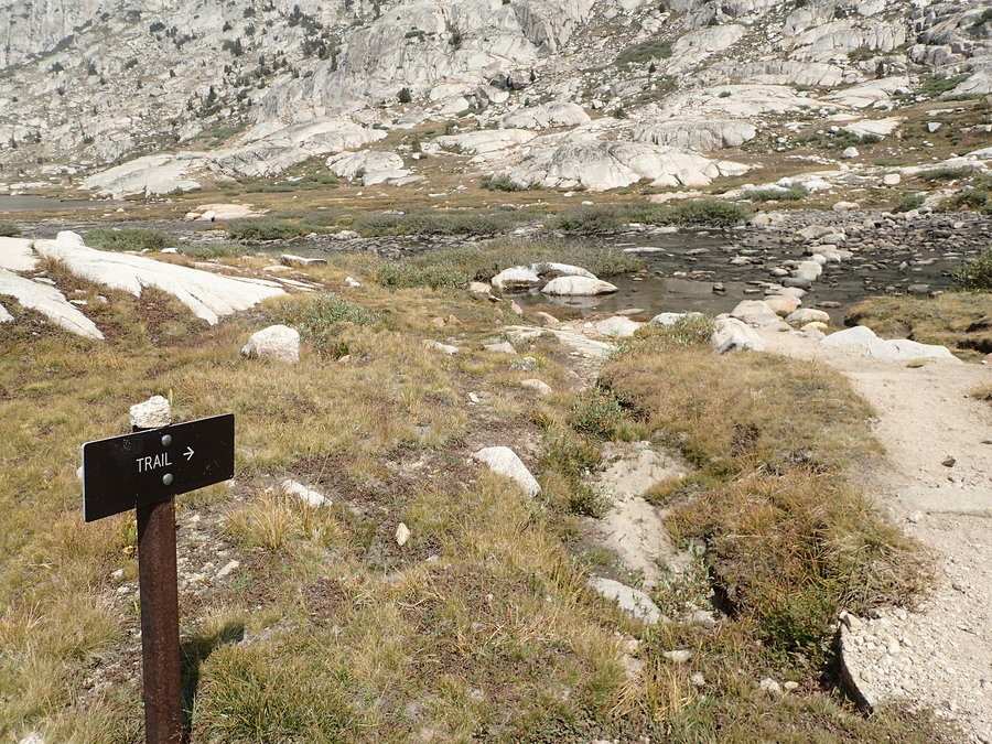
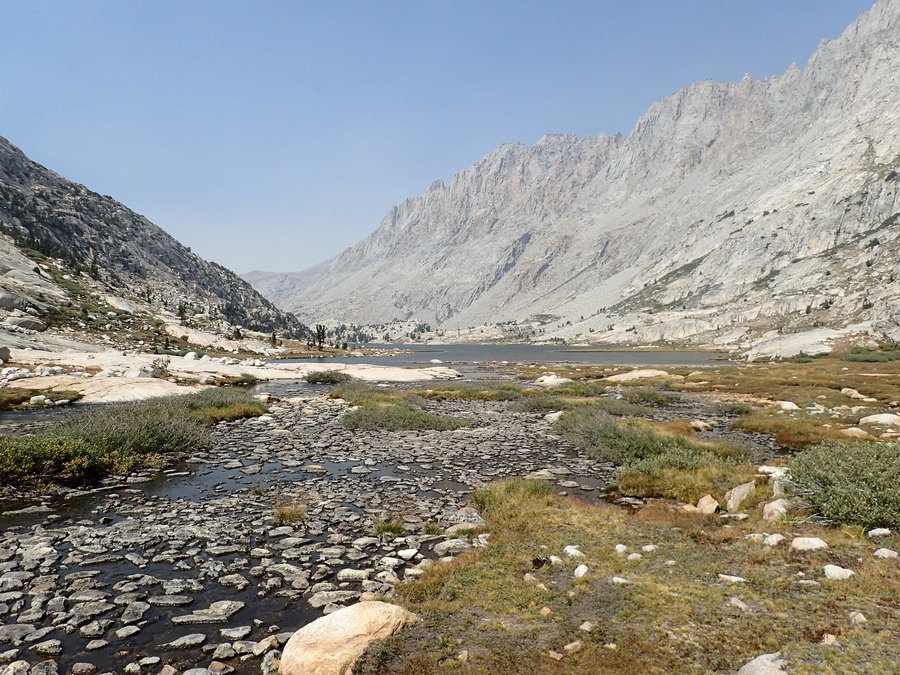
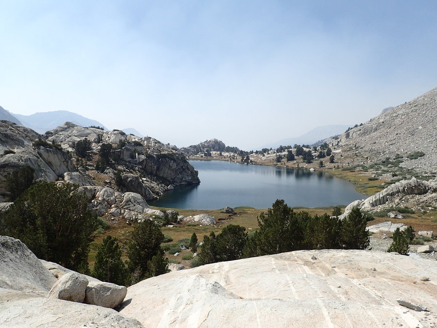
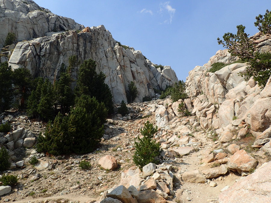
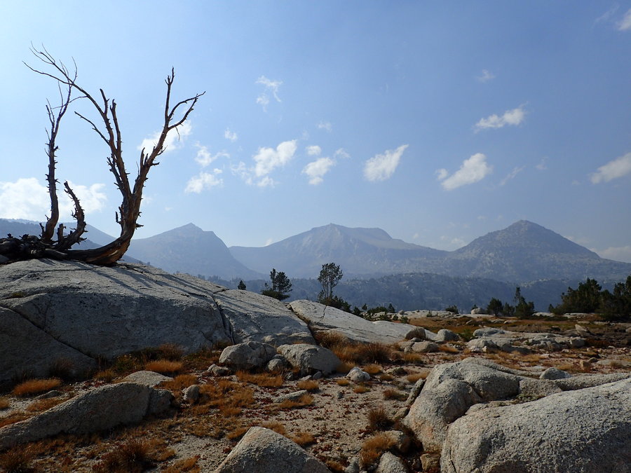
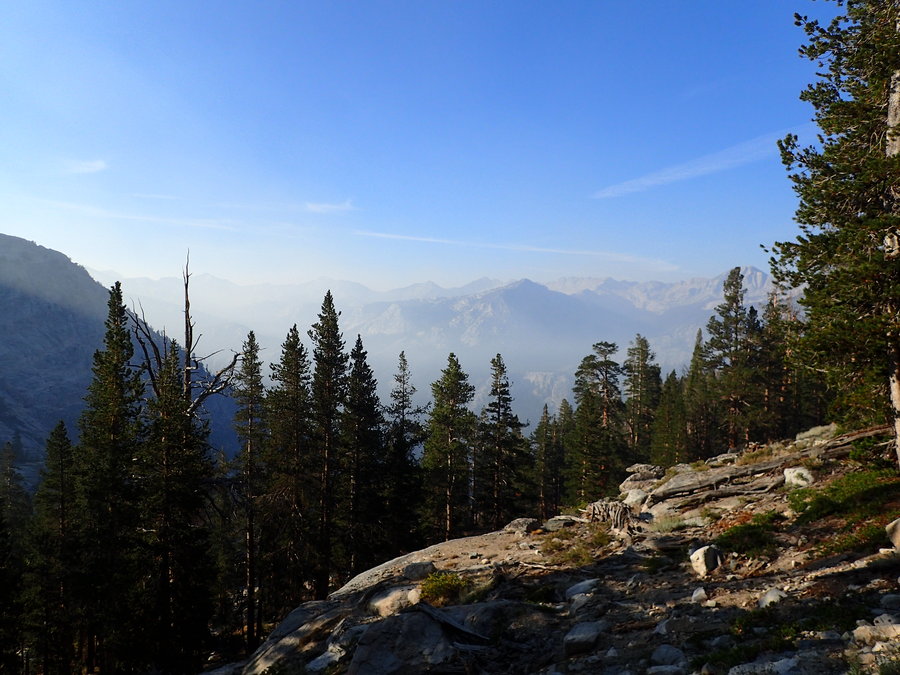
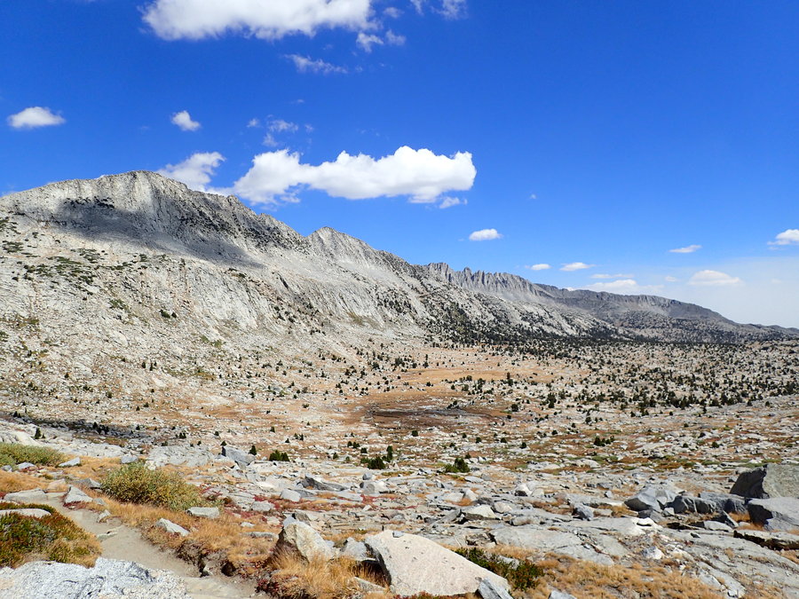
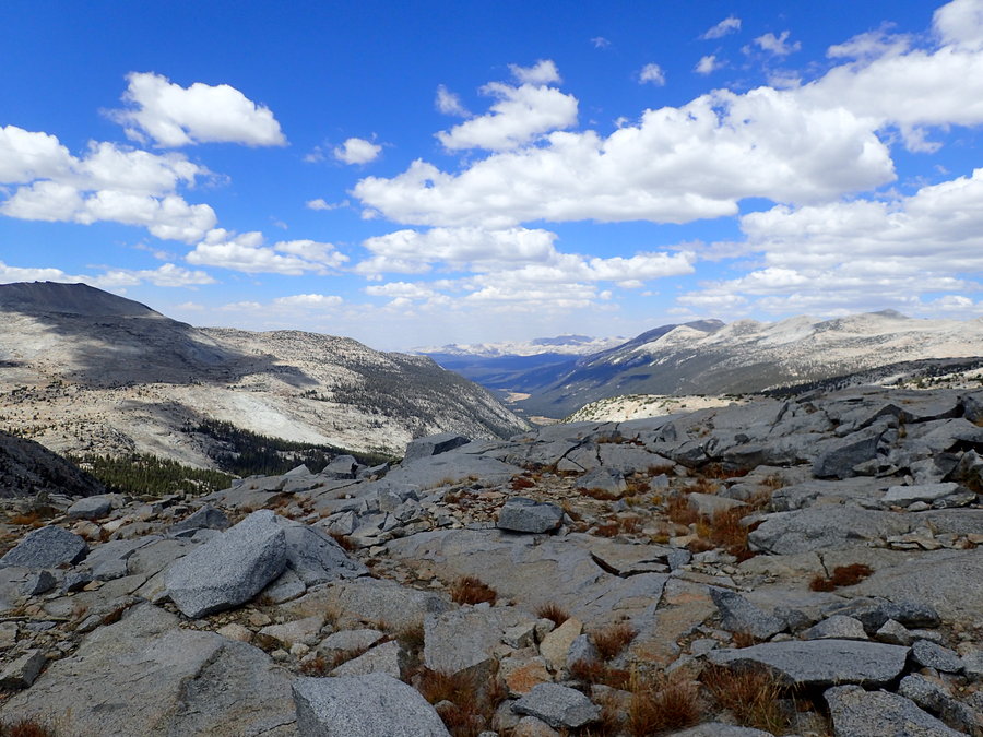
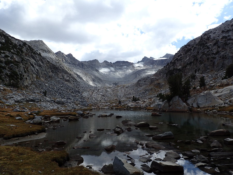
Day 5: Upper Kern Cutoff to Tyndall Creek Our goal today? Lake South America, which is one of the highest elevation lakes in the Sierra as well as the headwaters of the Kern River. Then we'd connect up with the JMT just north of Tyndall Creek. The trail up the Kern River Drainage to Lake South America could be called a trail, only because the route is marked with cairns, mostly. Without the cairns, this would be a cross country route. Lots of elevation gain, and trickier terrain, led to a short mileage day. We enjoyed a clear morning. It was still clear when we arrived at Lake South America, where we took a break, enjoying lunch, the scenery and the water. Then the smoke started rolling in from the west. We headed down towards the JMT surrounded by a orange tinted haze, setting up camp about 4 miles south of Forester Pass.
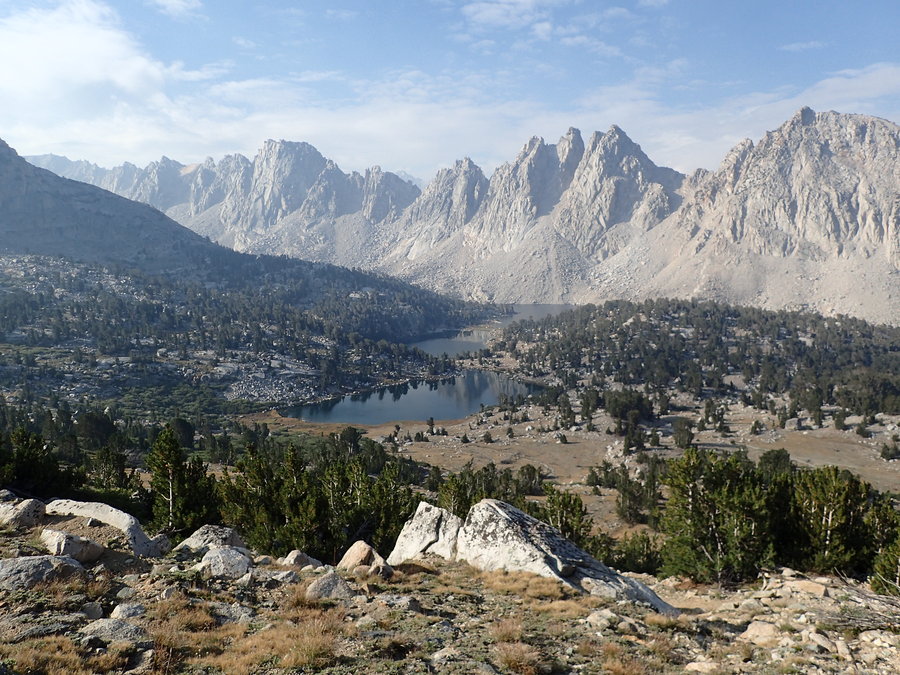
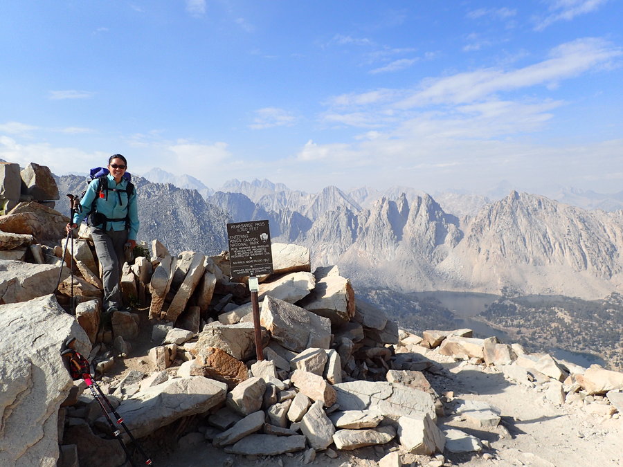
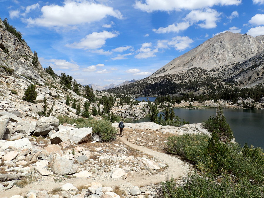
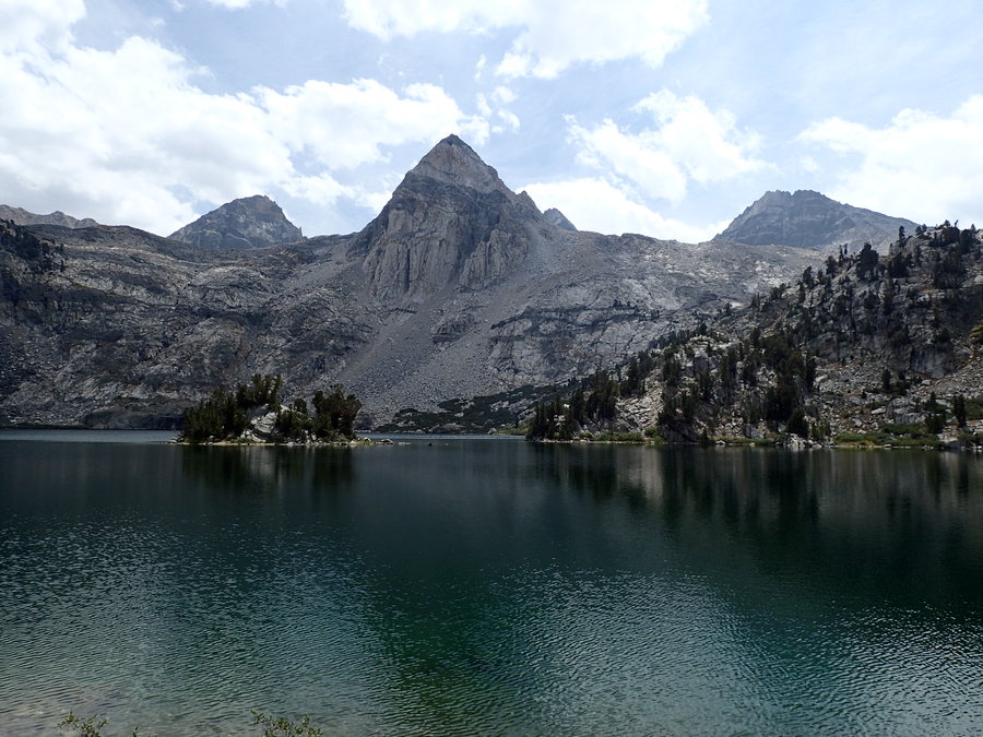
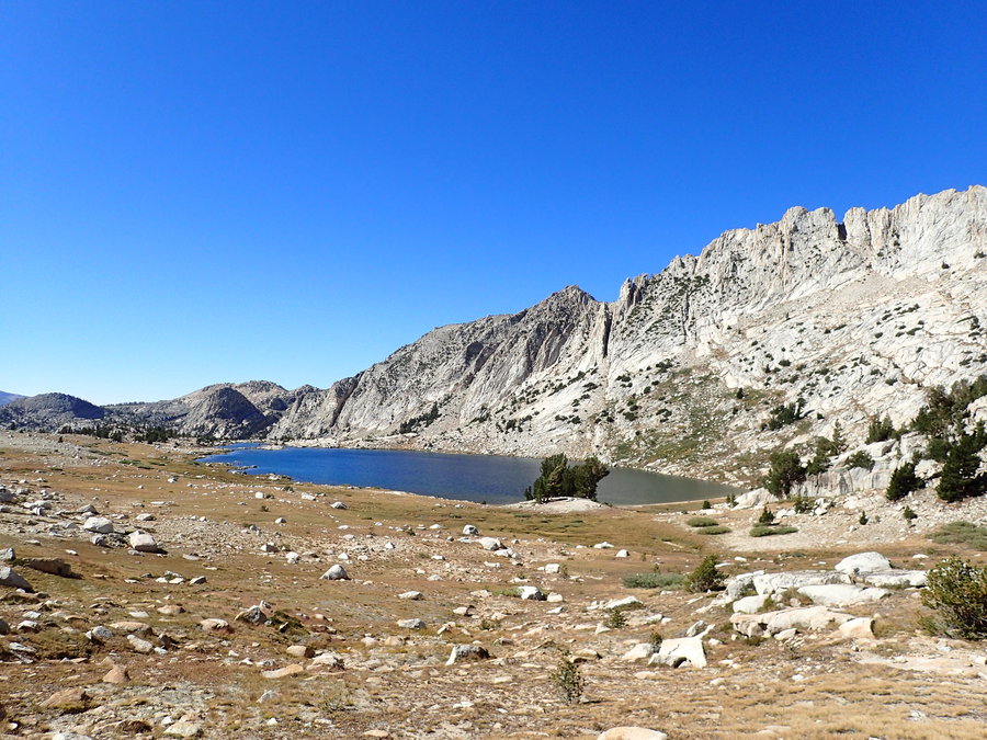
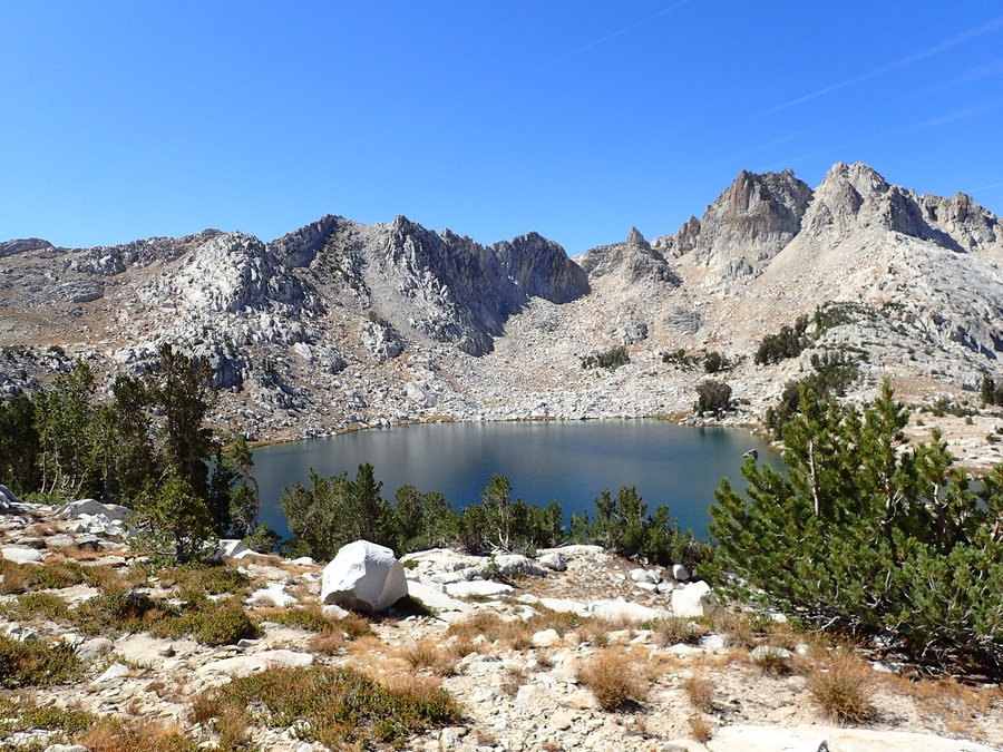
Day 6 - Tyndall Creek to Kearsarge Lakes
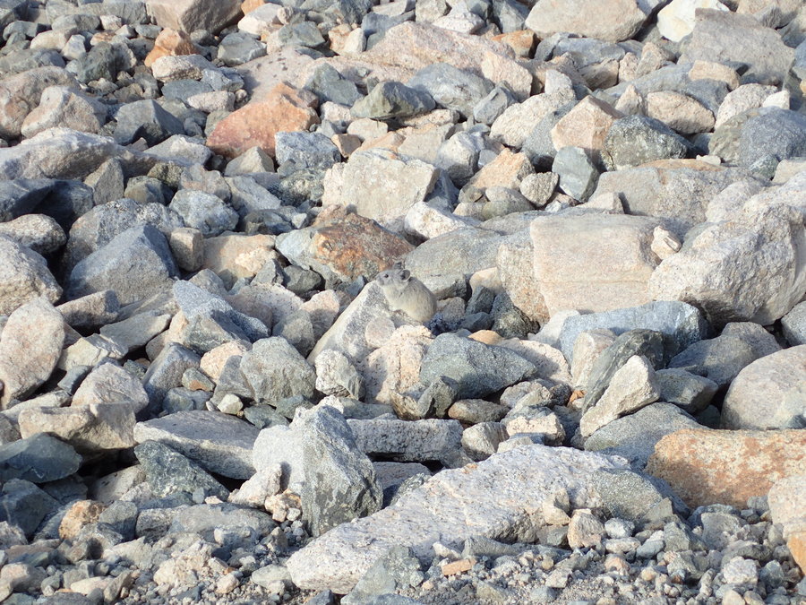
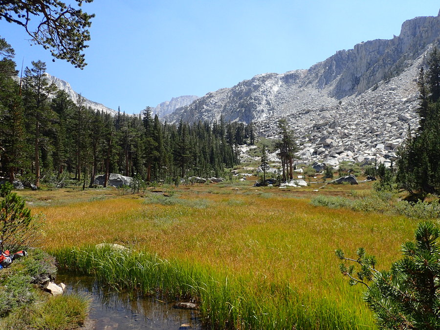
Day 7 - Kearsarge Lakes to Onion Valley
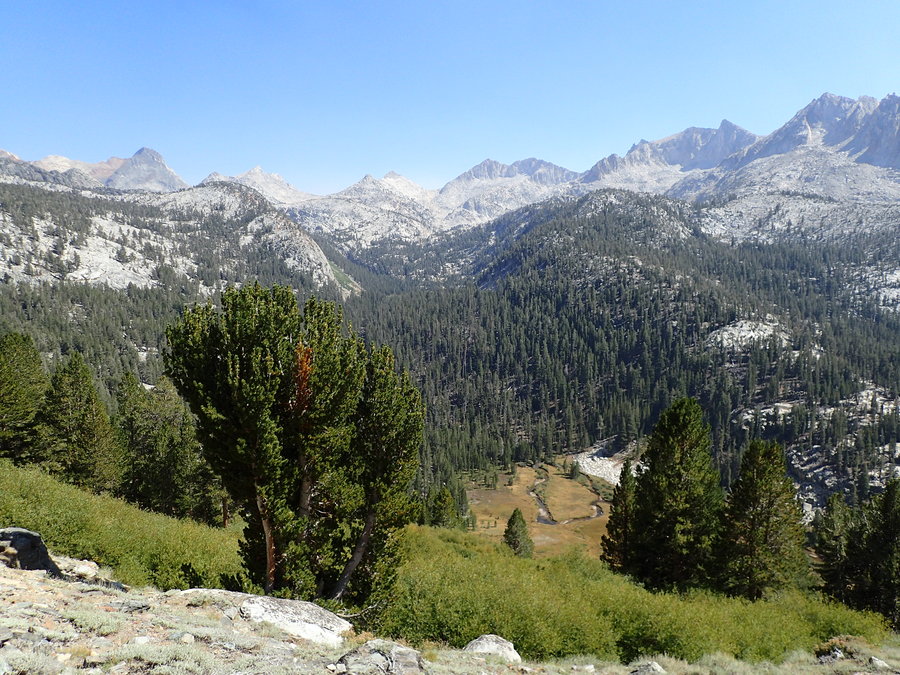
Day 8 - Onion Valley to Charlotte Lake
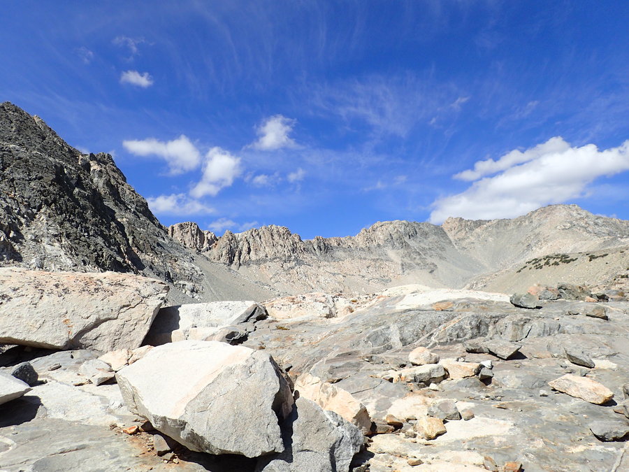
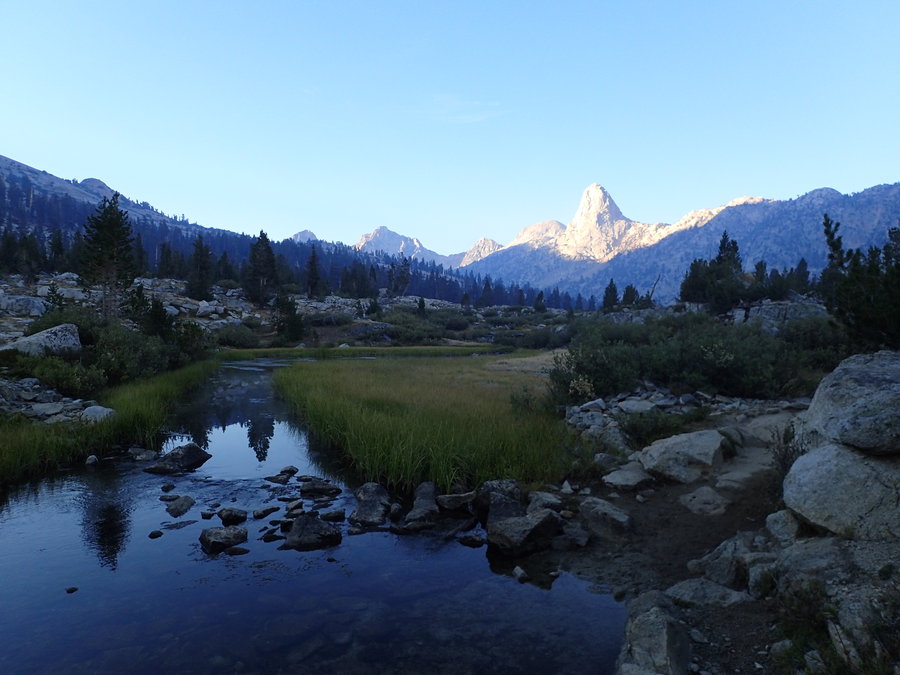
Day 9 - Charlotte Lake to Arrowhead Lake
Day 10 - Arrowhead Lake to Lake Marjorie
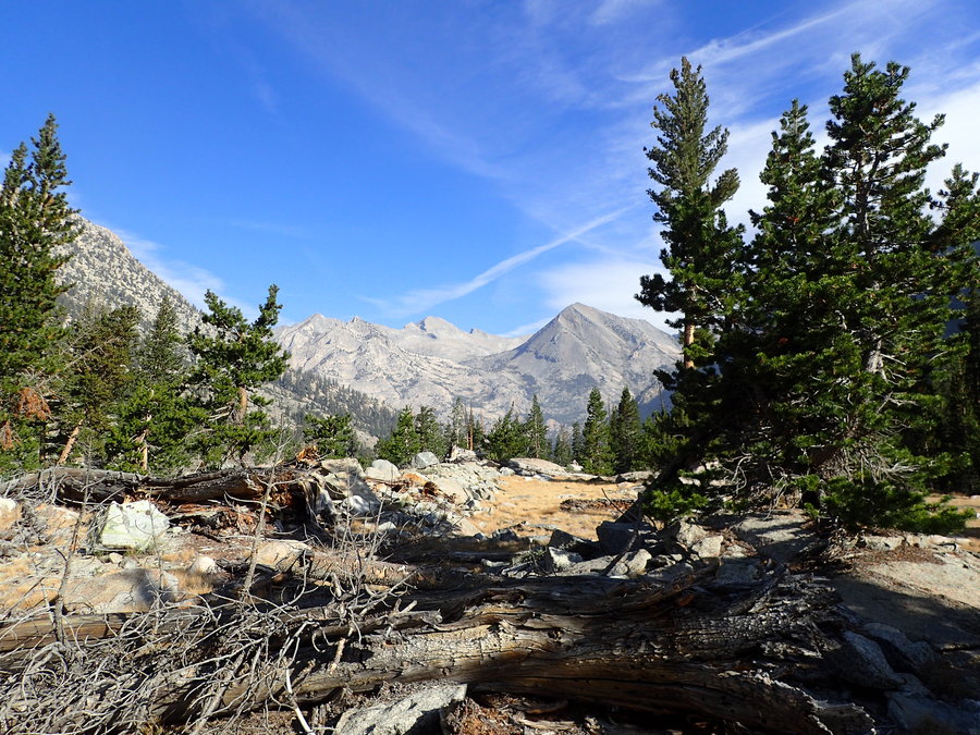
Day 11 - Lake Marjorie to Palisade Lakes
Day 12 - Palisade Lake to Starr Camp
Day 13 - Starr Camp to McClure Meadow
Day 14 - McClure Meadow to MTR
Day 15 - MTR to Rose Lake Junction
Day 16 - Rose Lake Junction to Pocket Meadow
Day 17 - Pocket Meadow to Purple Lake
Day 18 - Purple Lake to Reds Meadow
Day 19 - Reds Meadow to Rosalie Lake
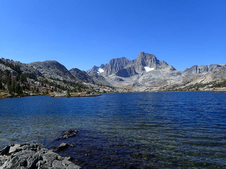
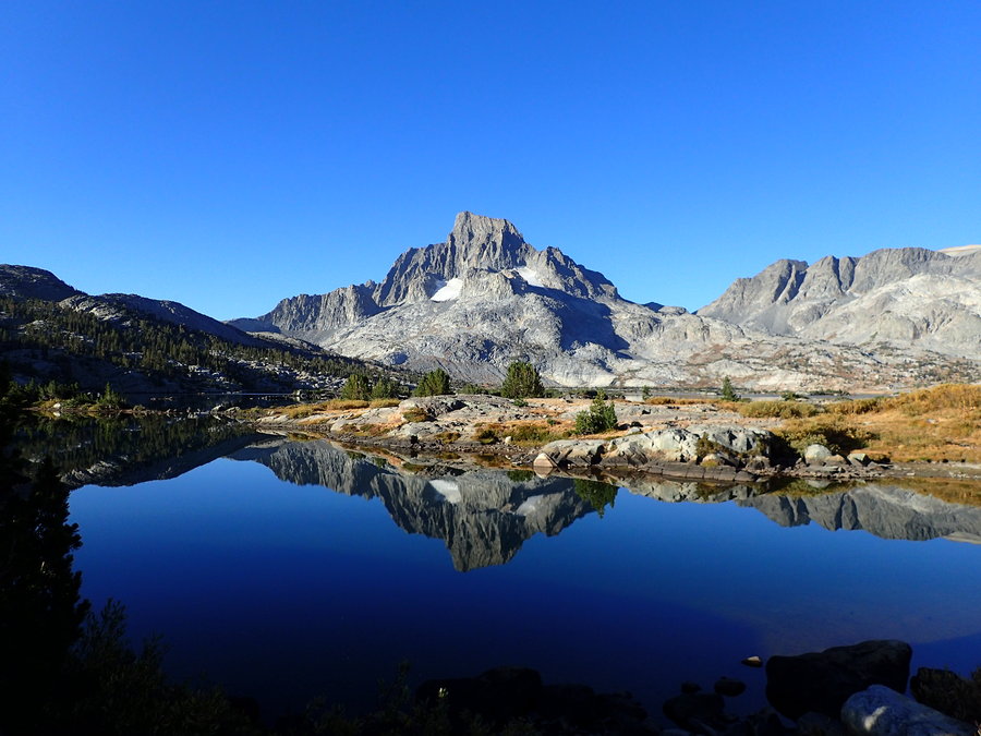
Day 20 - Rosalie Lake to Thousand Island Lake
Day 21 - Thousand Island Lake to Lyell Canyon
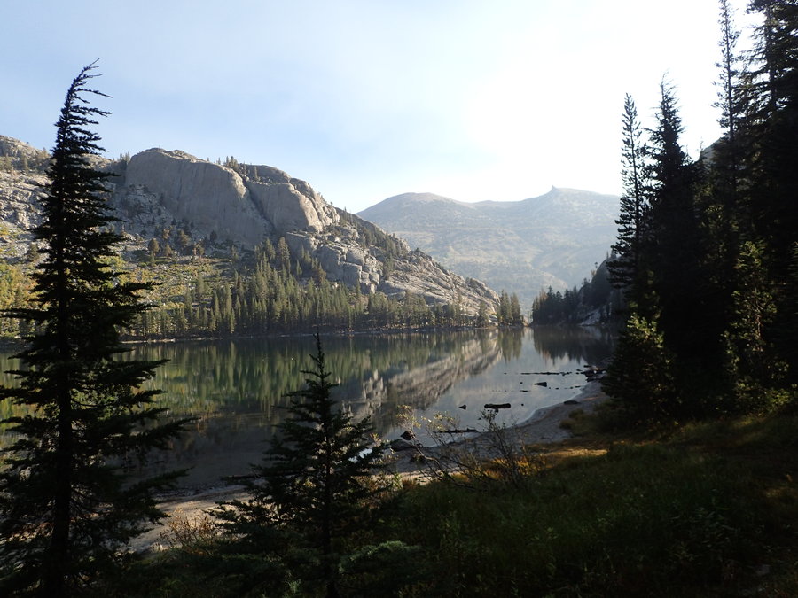
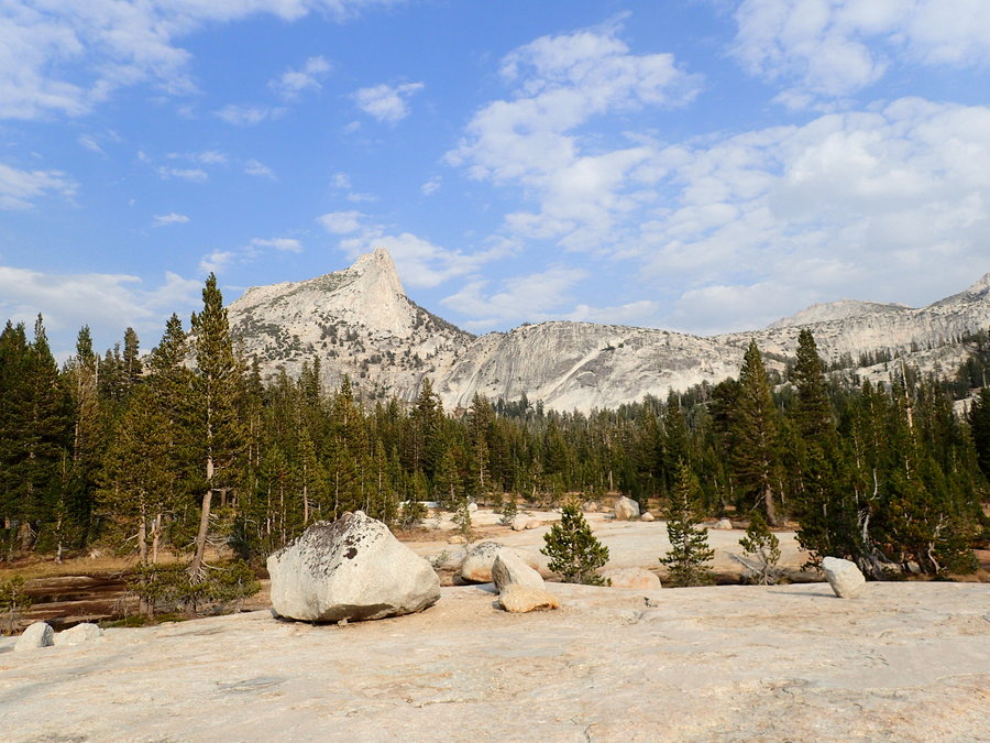
Day 22- Lyell Canyon to Cathedral Lakes
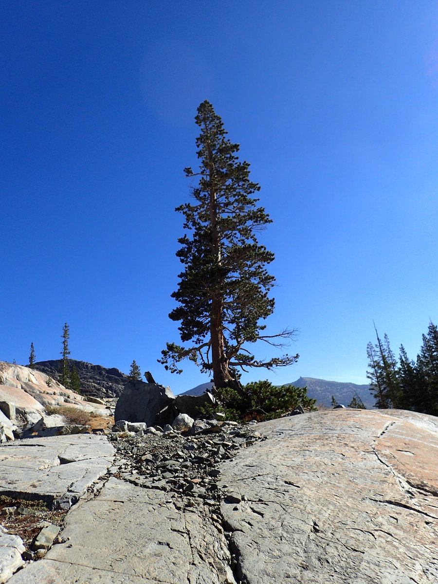
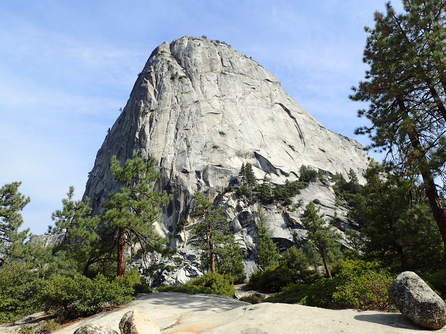
Day 23 - Cathedral Lakes to Clouds Rest Junction
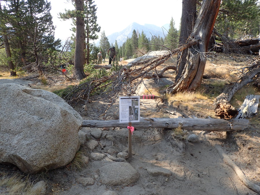
Day 24 - Clouds Rest Junction to Happy Isles