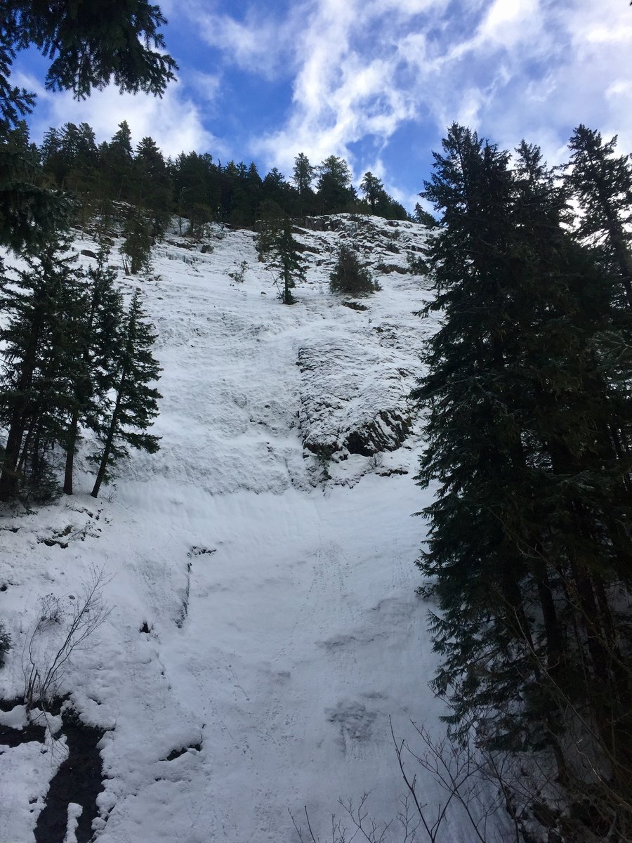
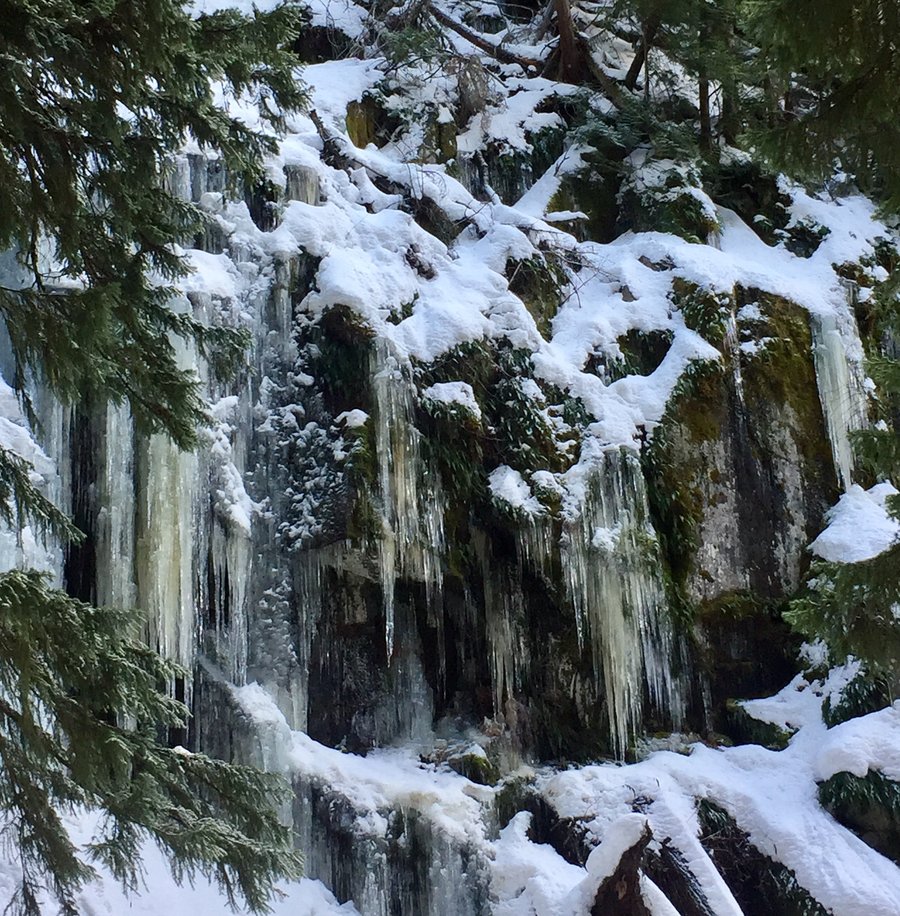
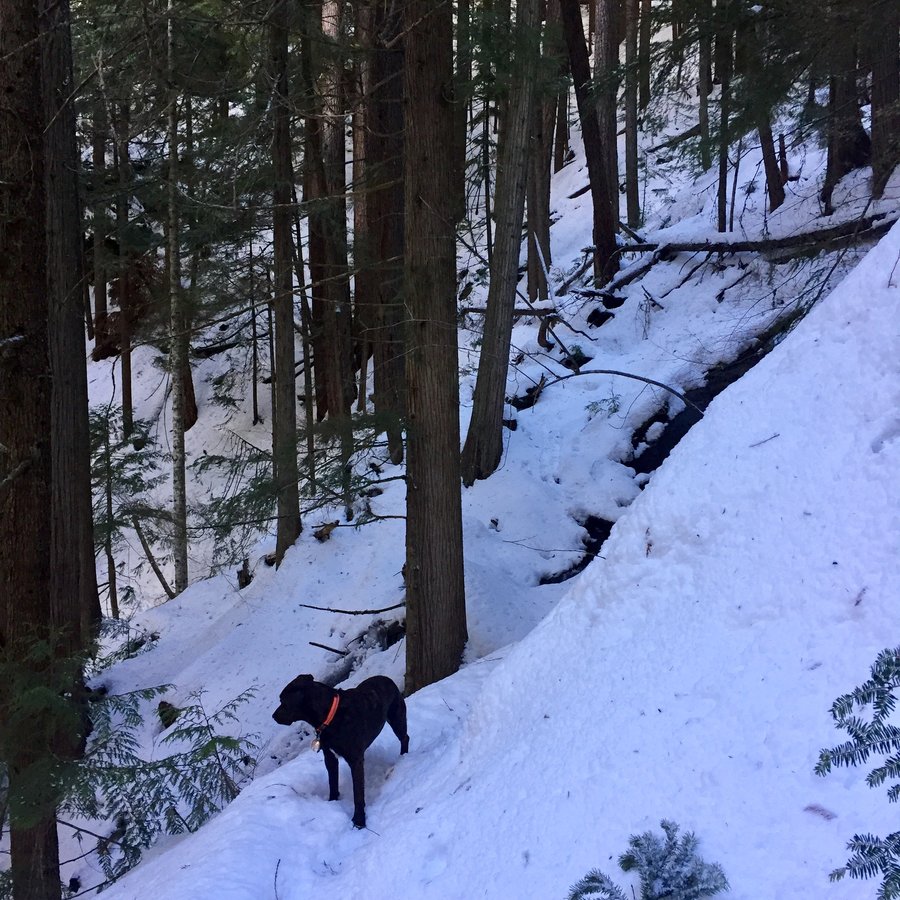
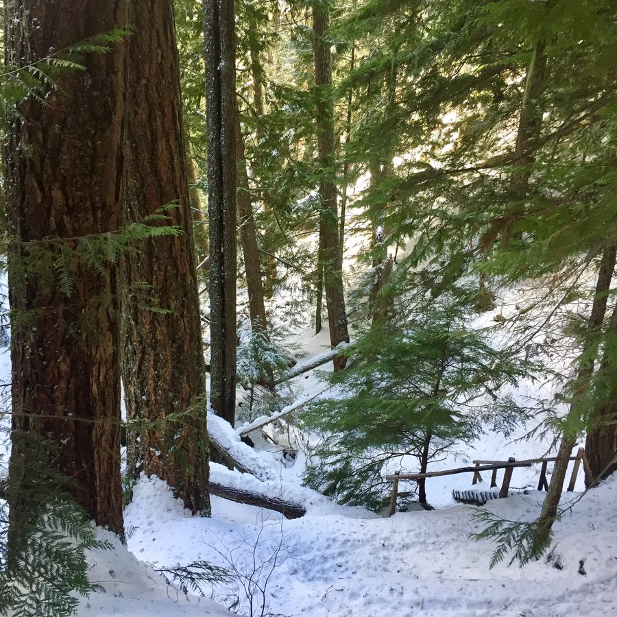
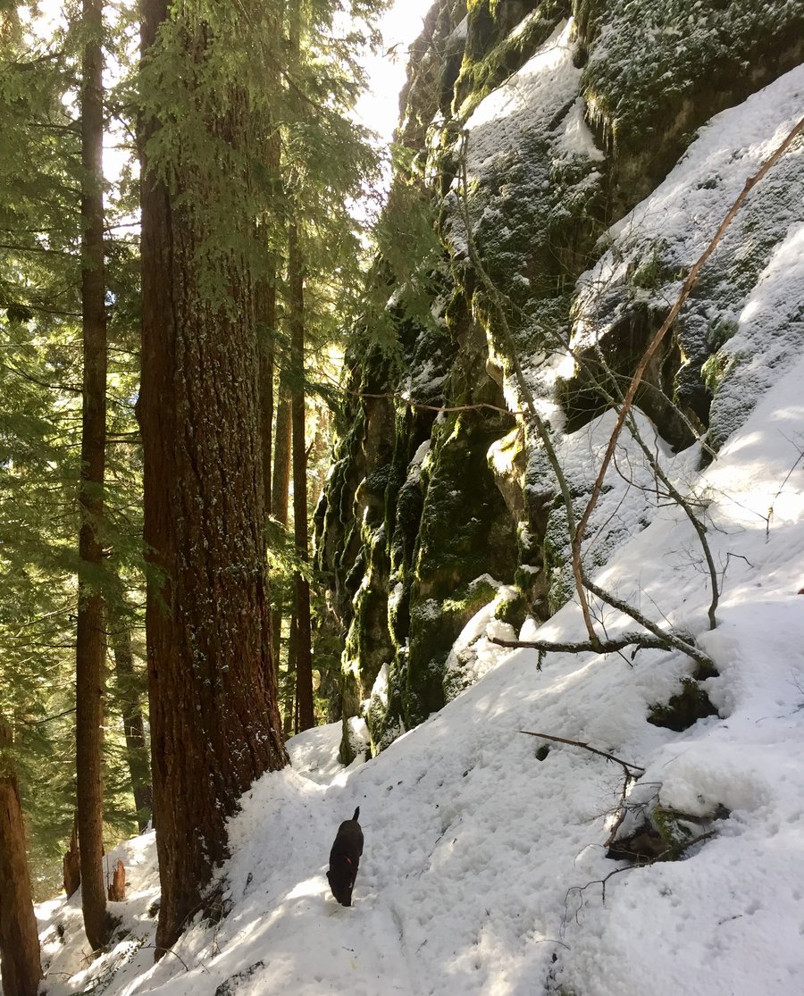
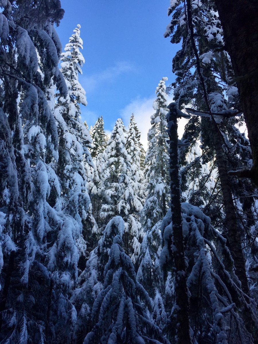
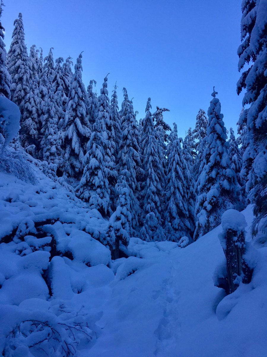
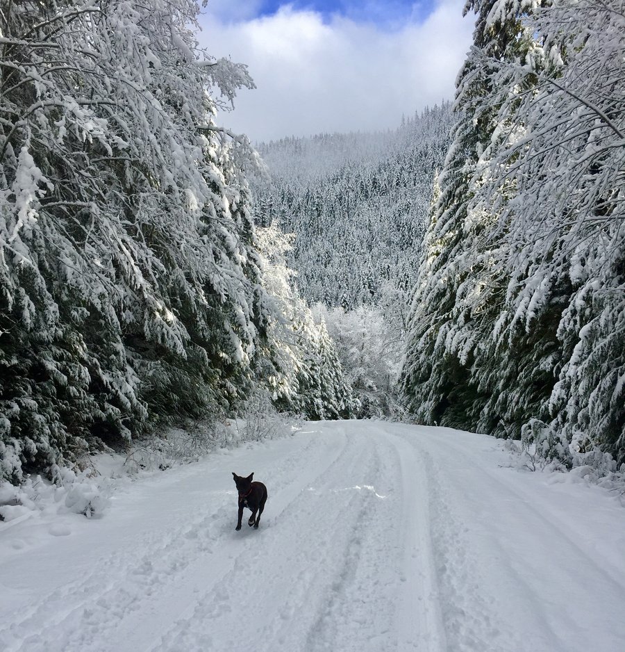
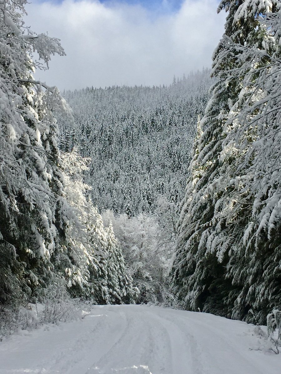
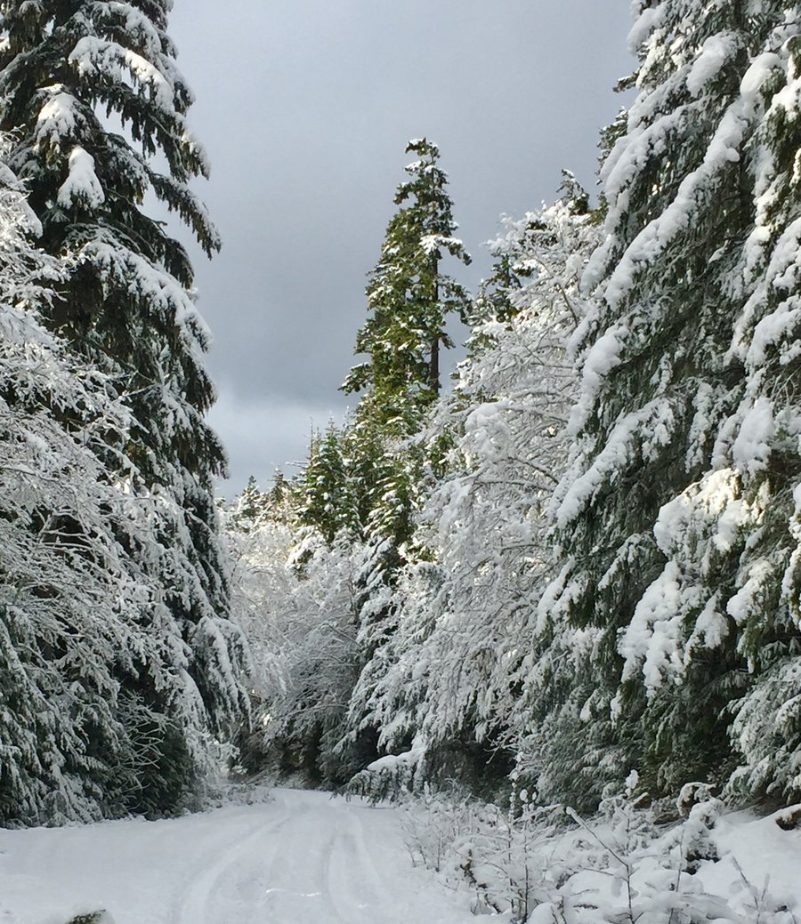
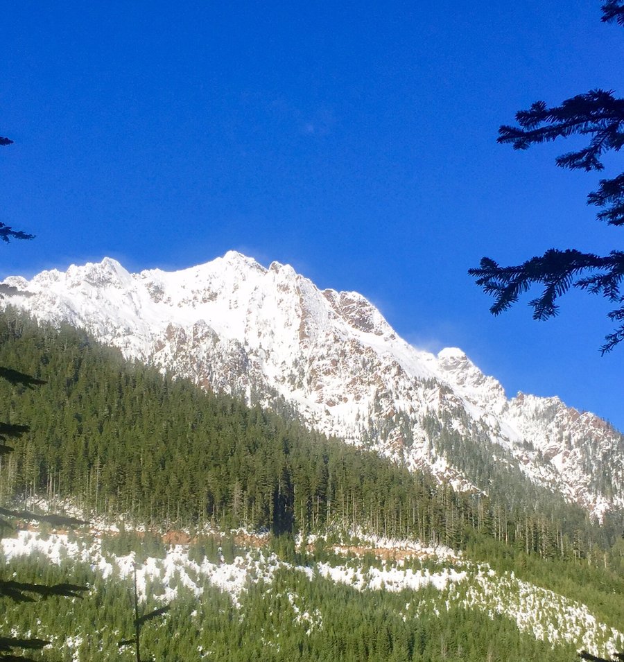
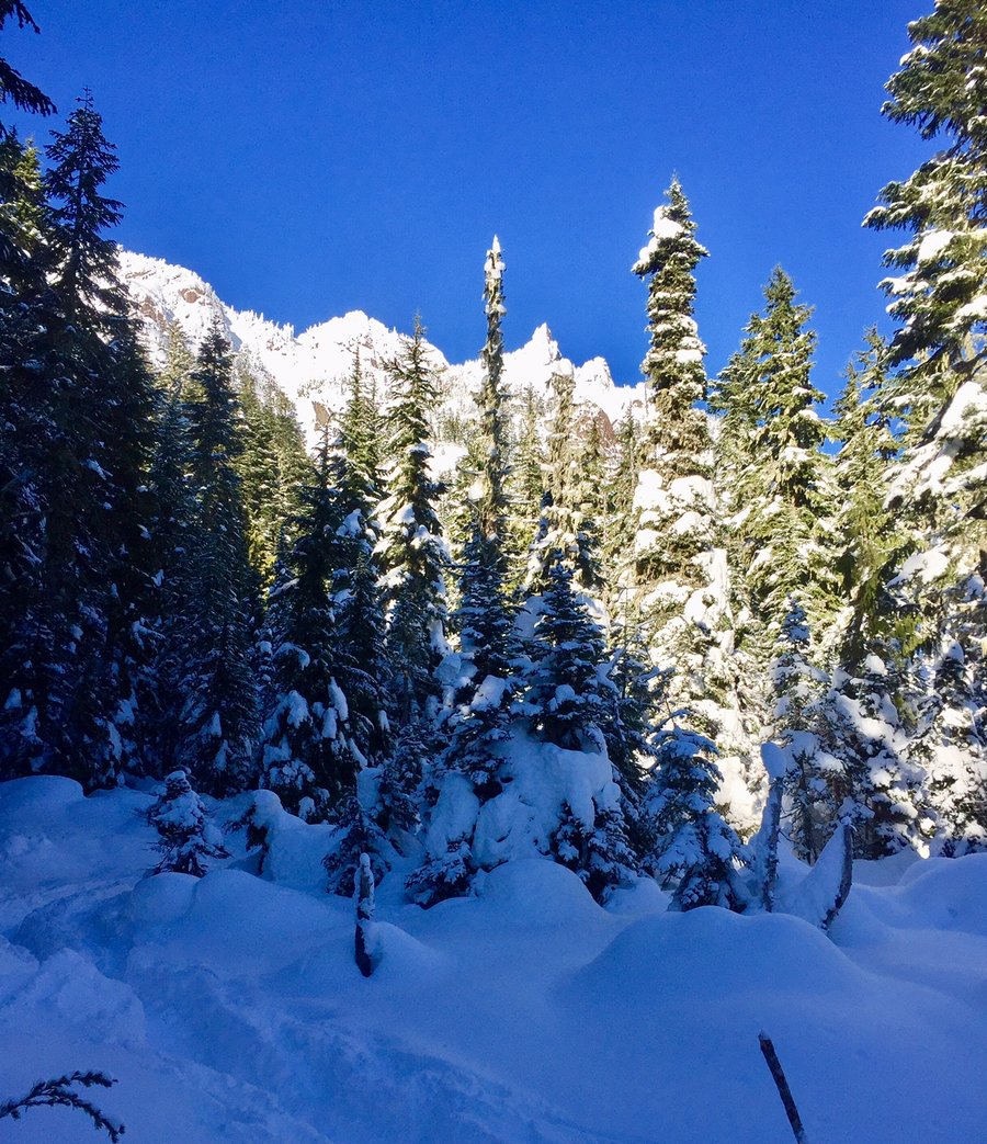
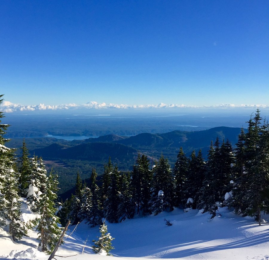
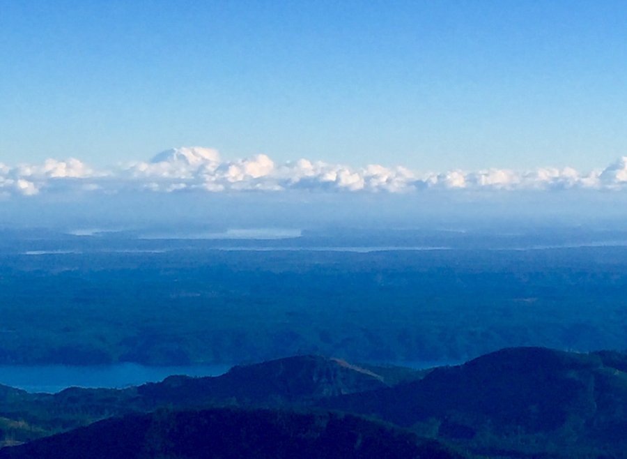
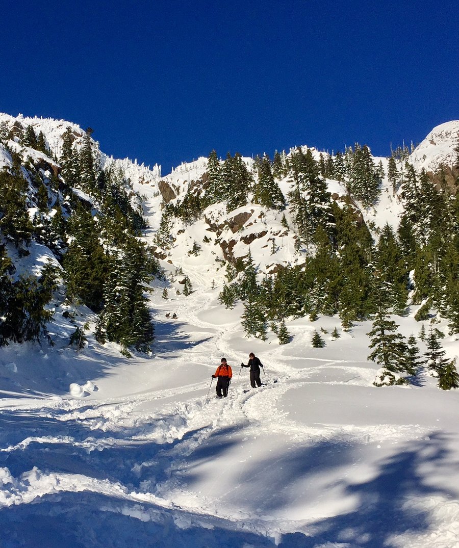
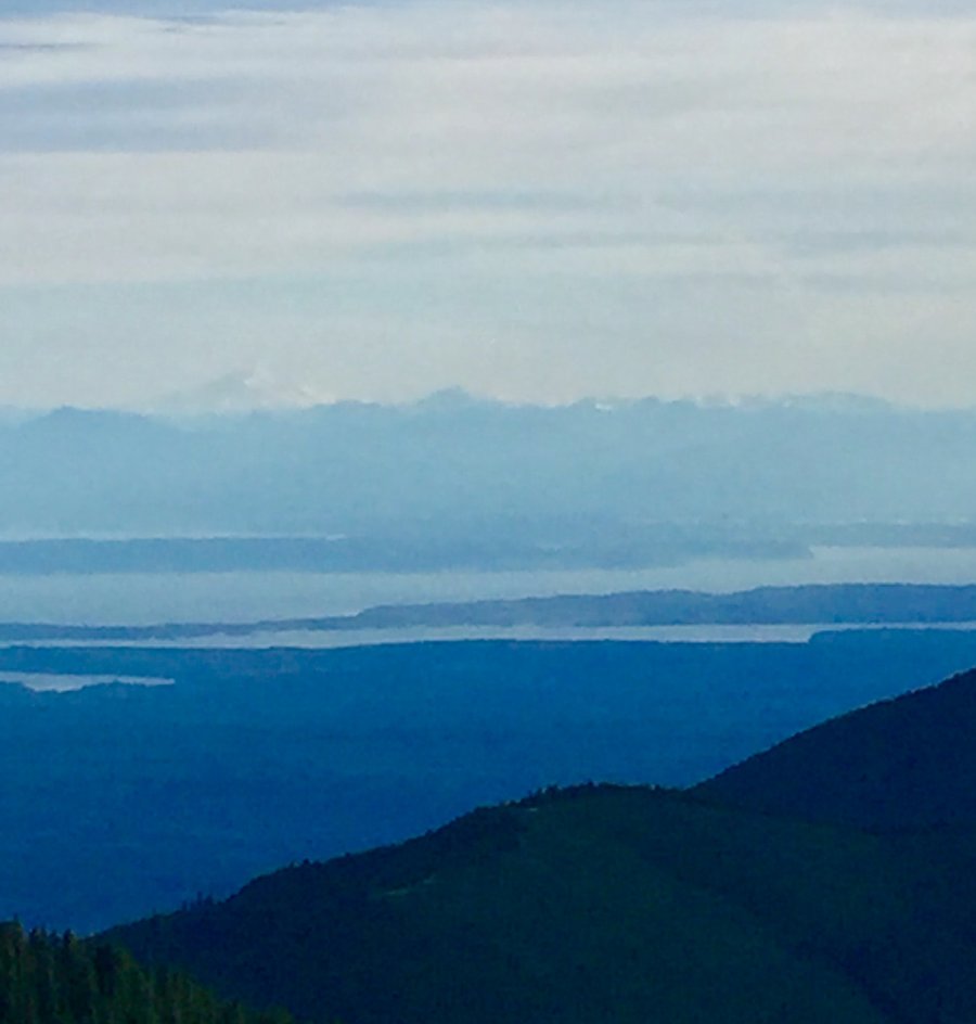
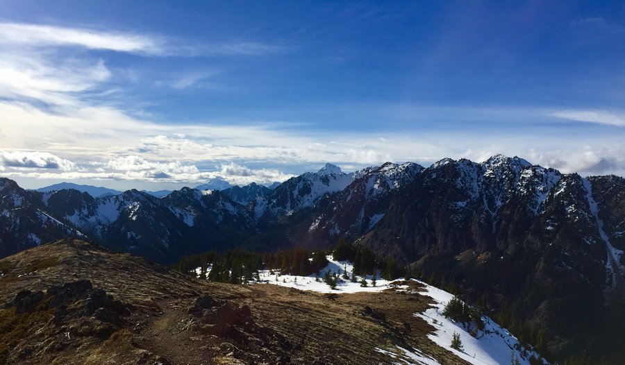
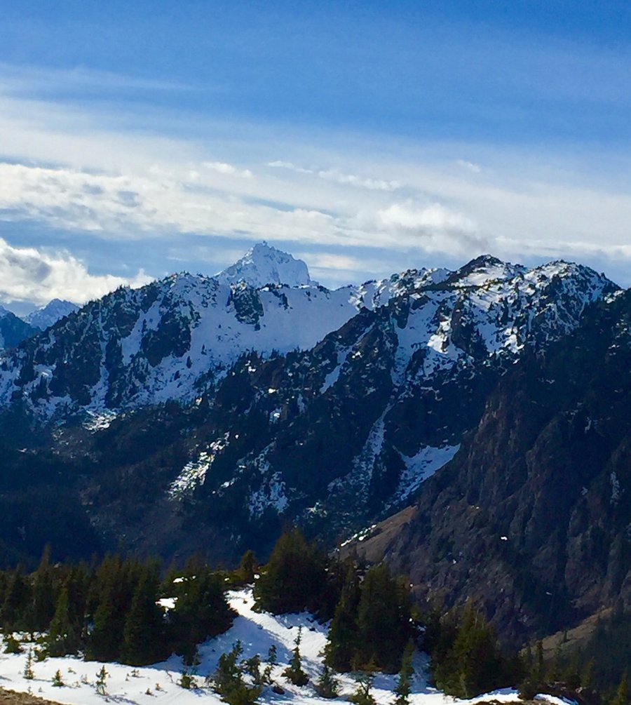
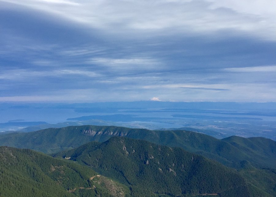
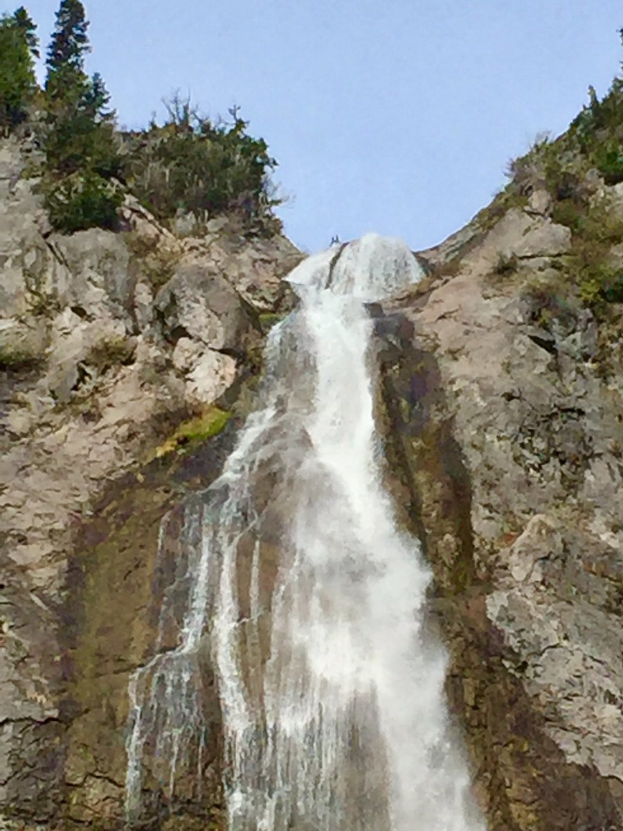
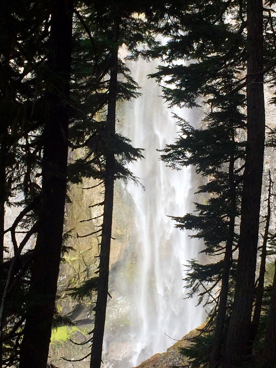
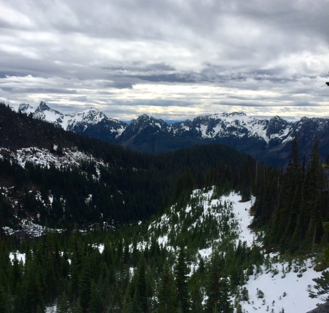
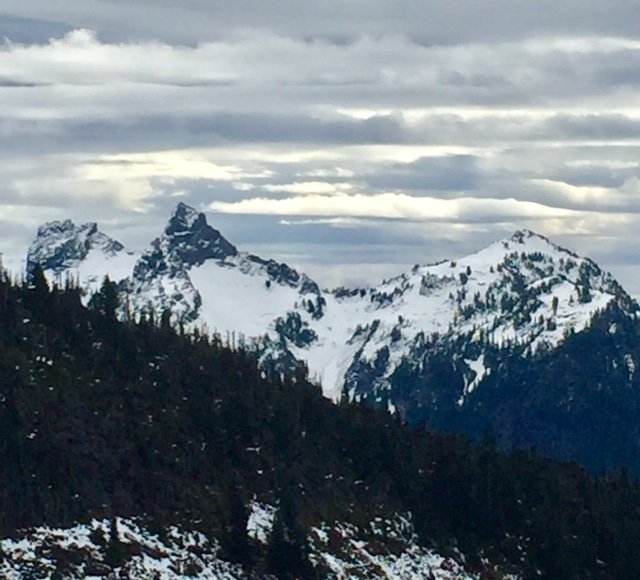
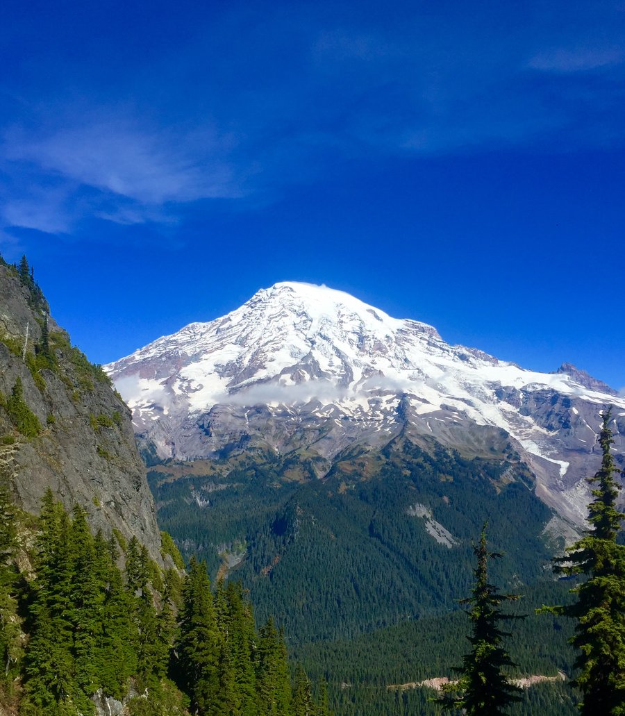
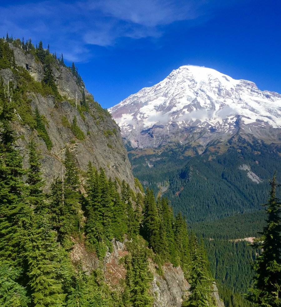
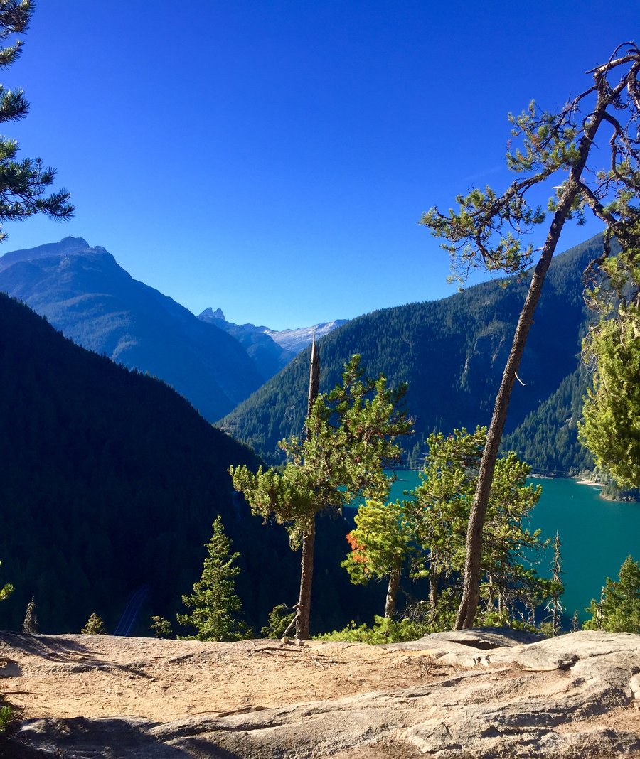
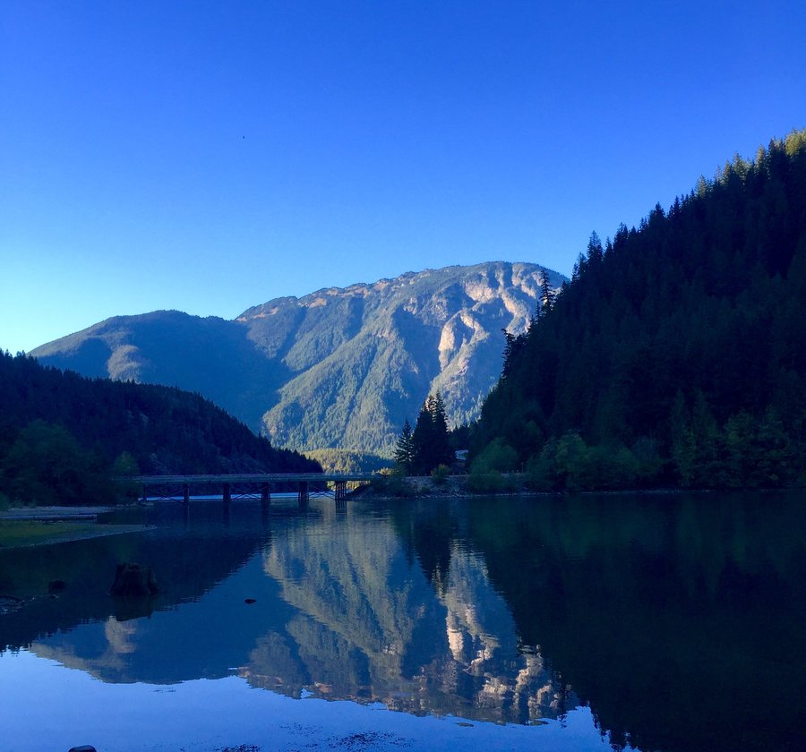
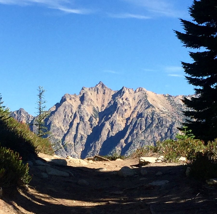
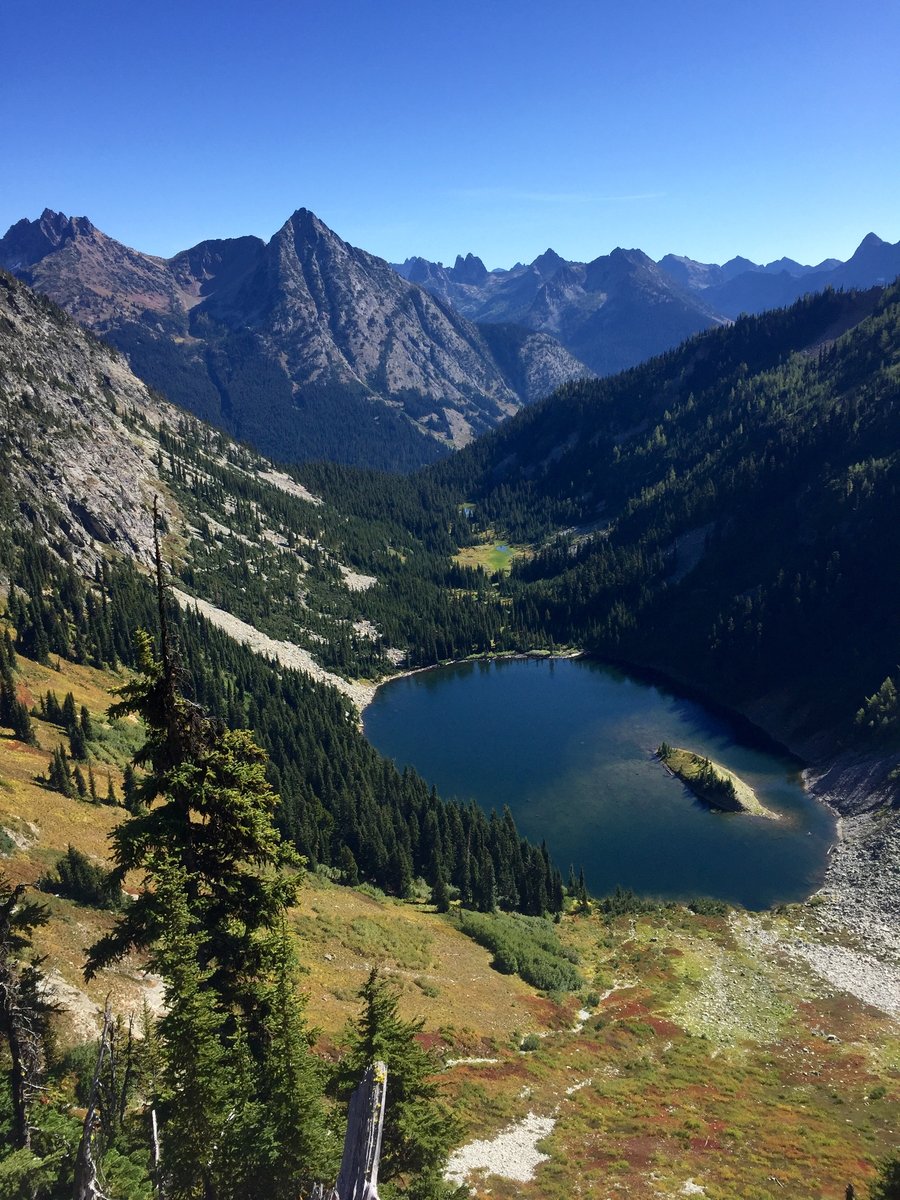
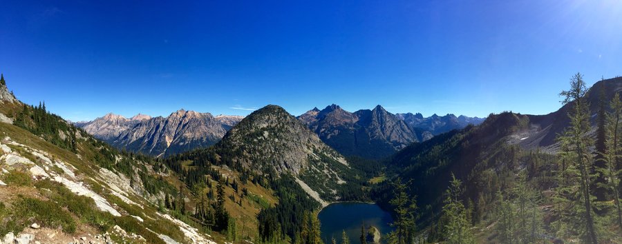
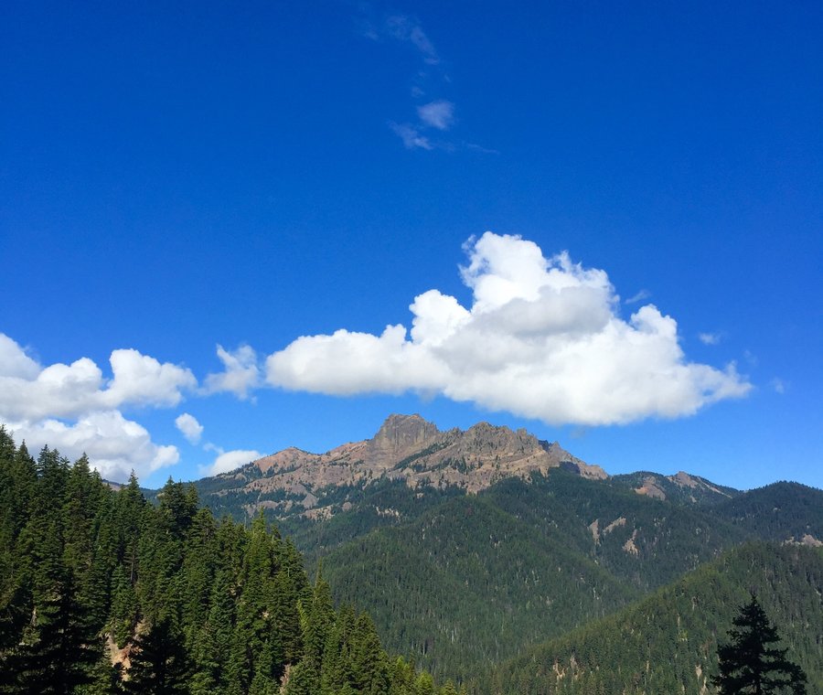
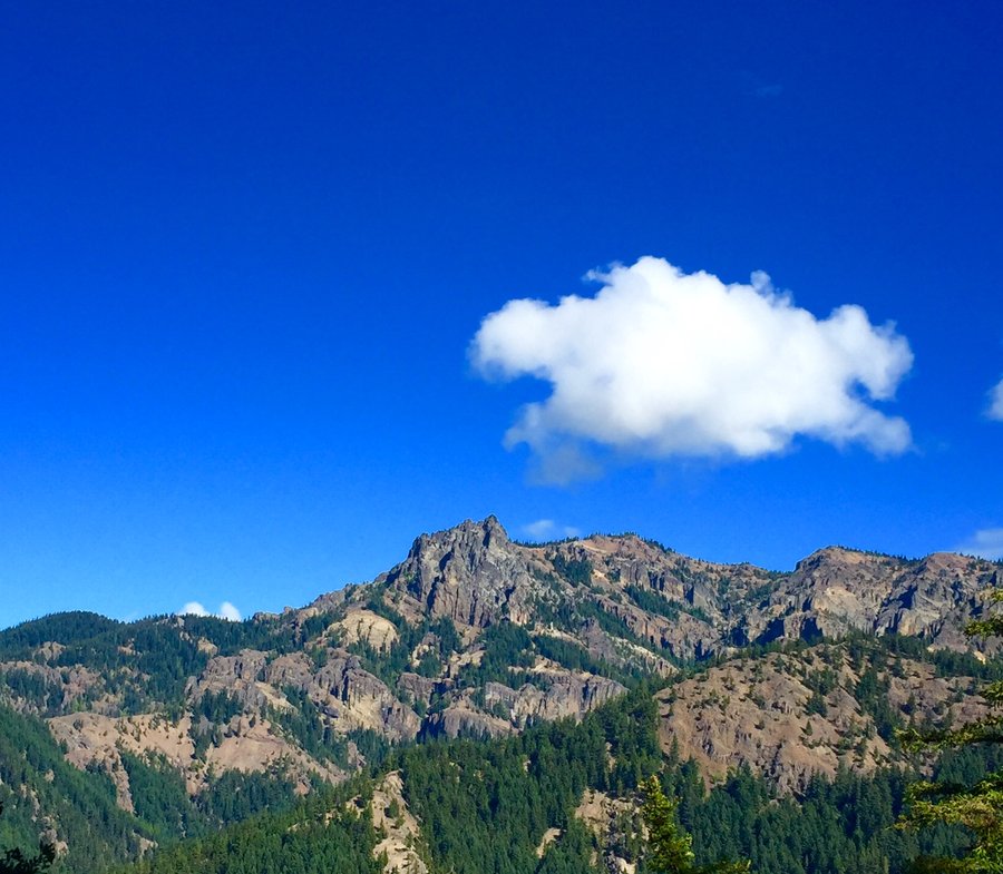
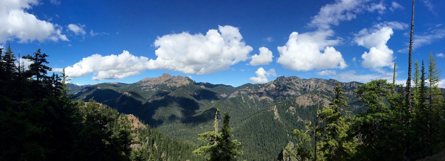
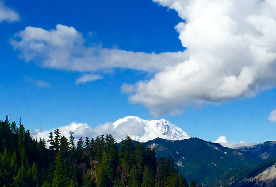
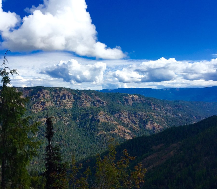
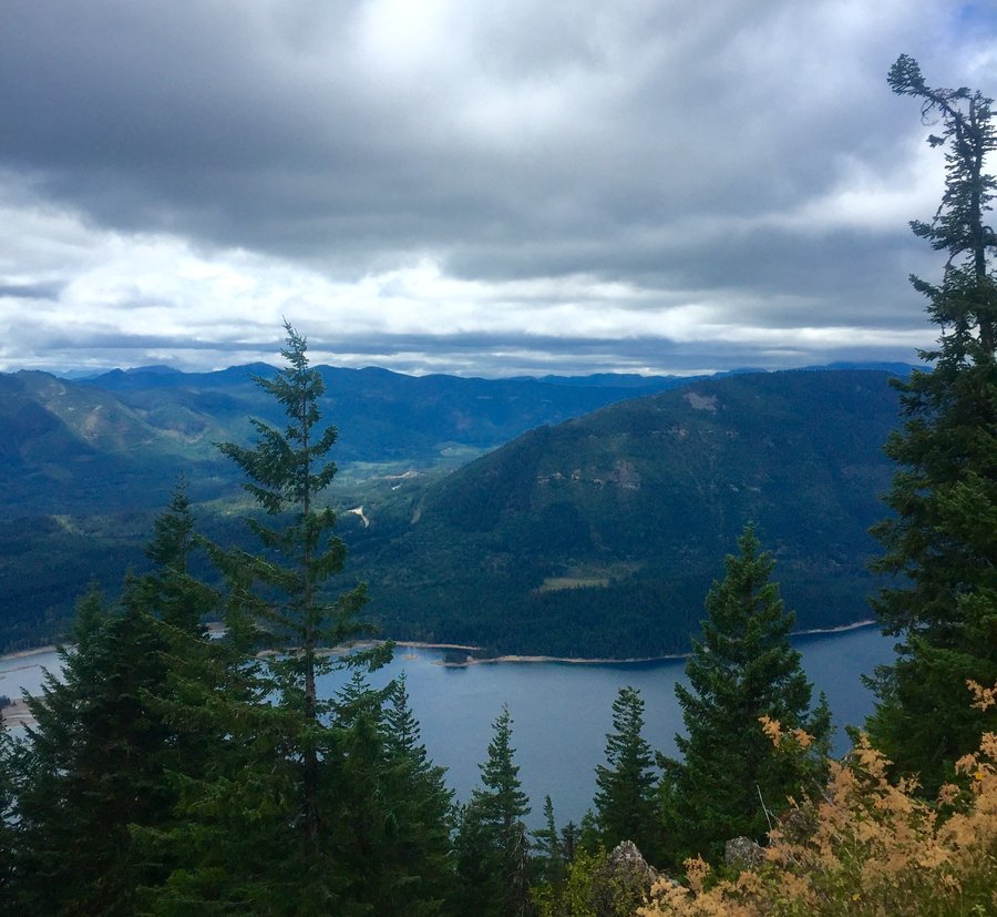
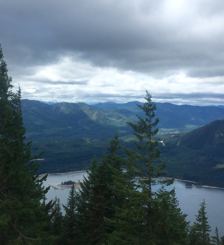
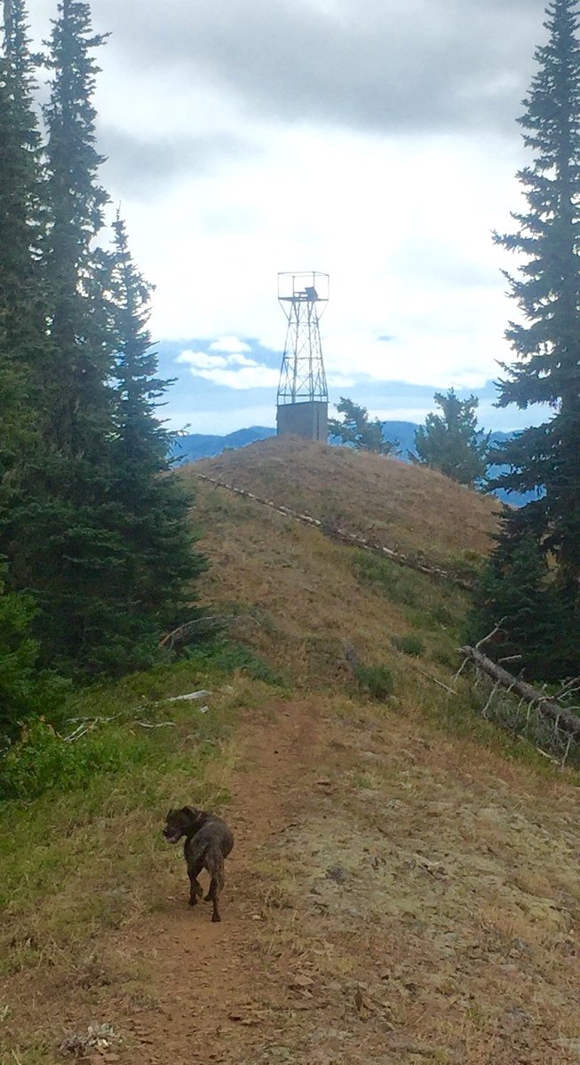
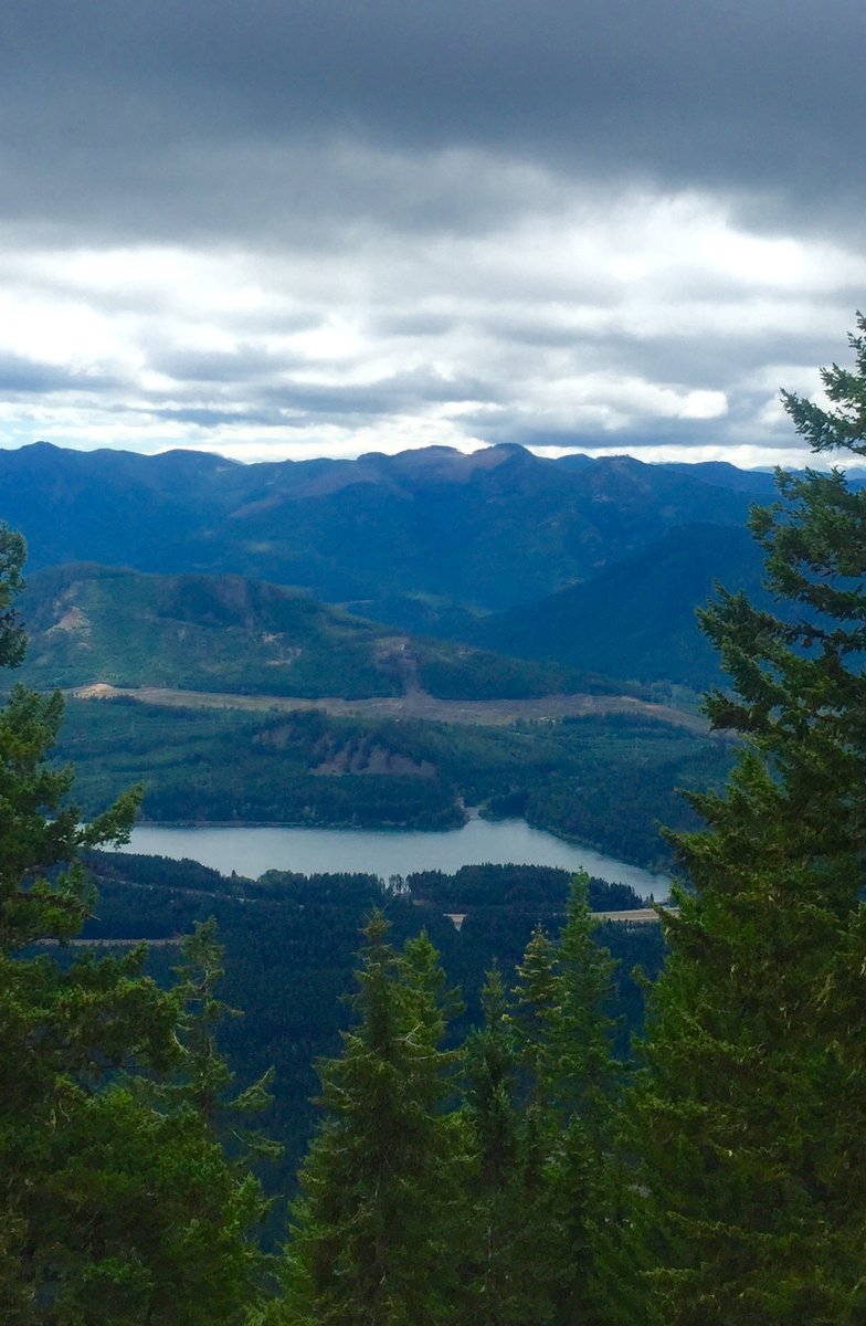
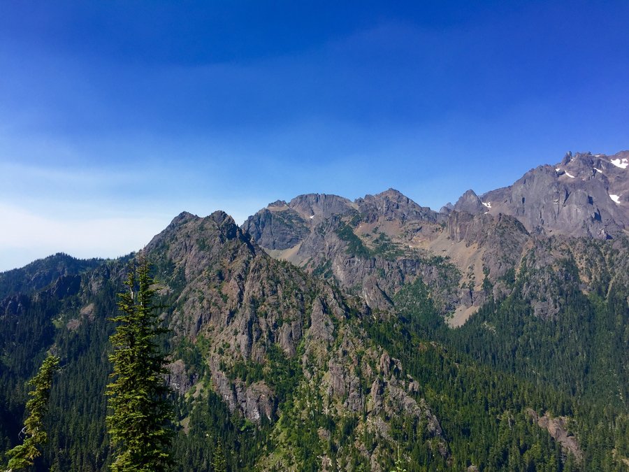
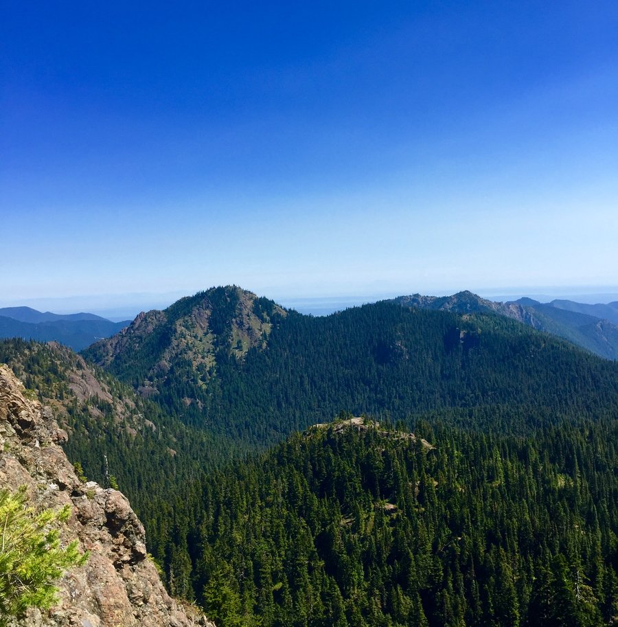
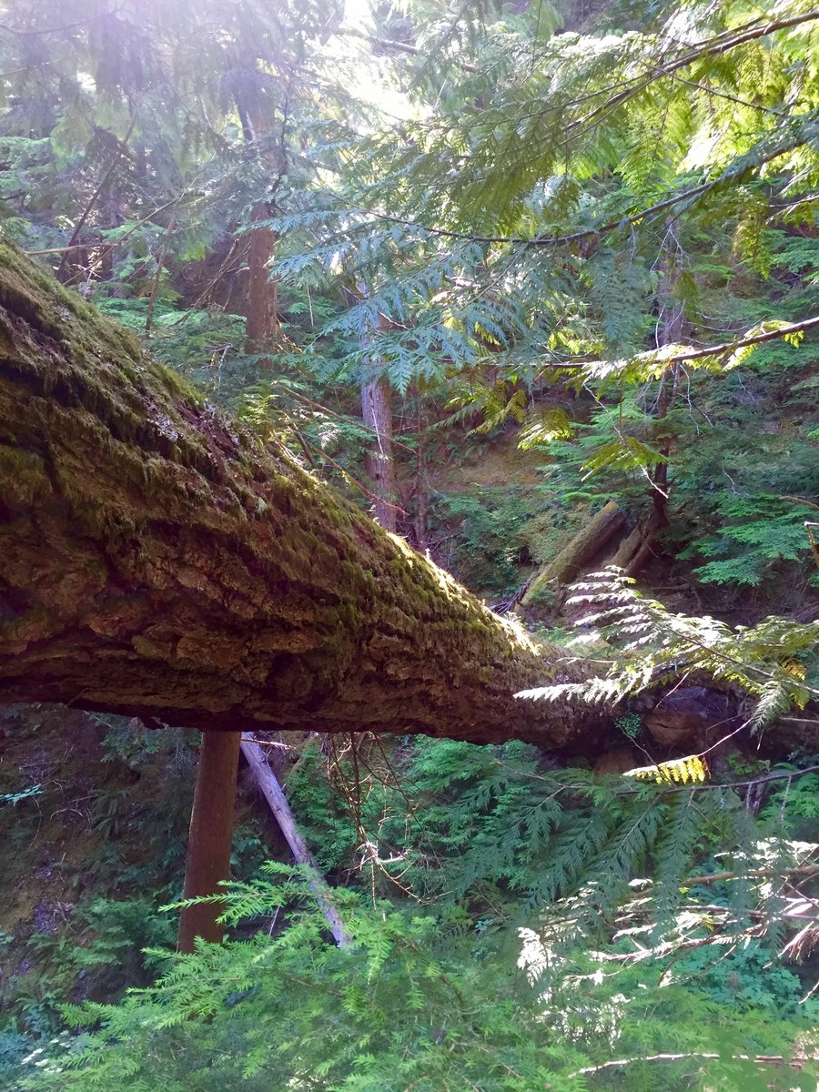
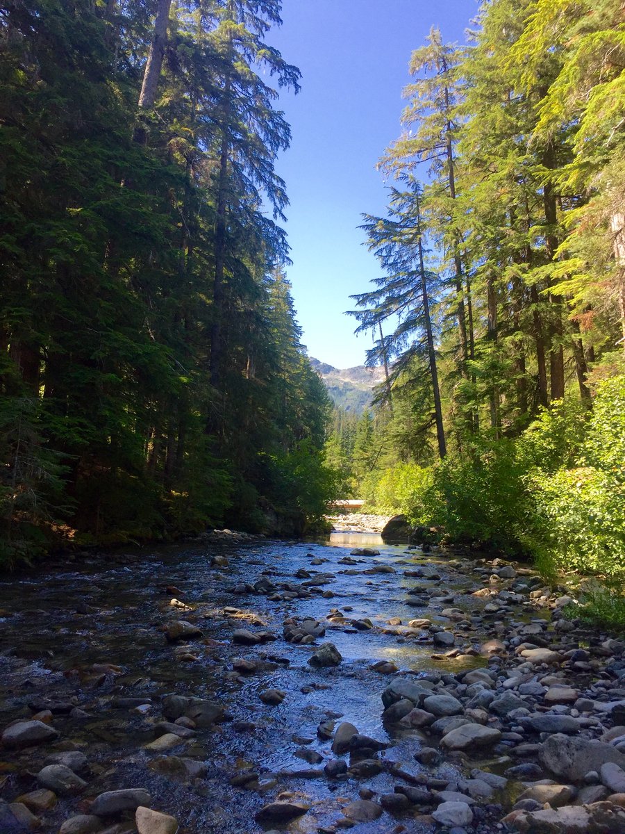
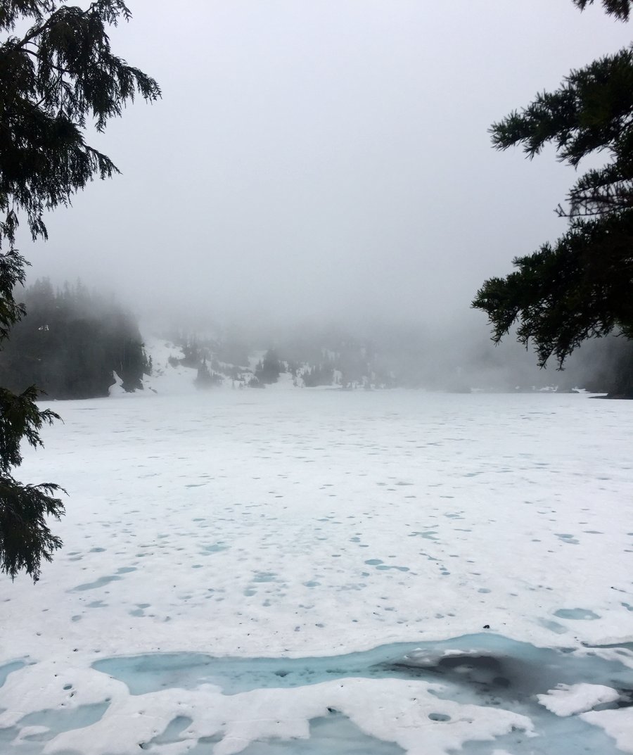
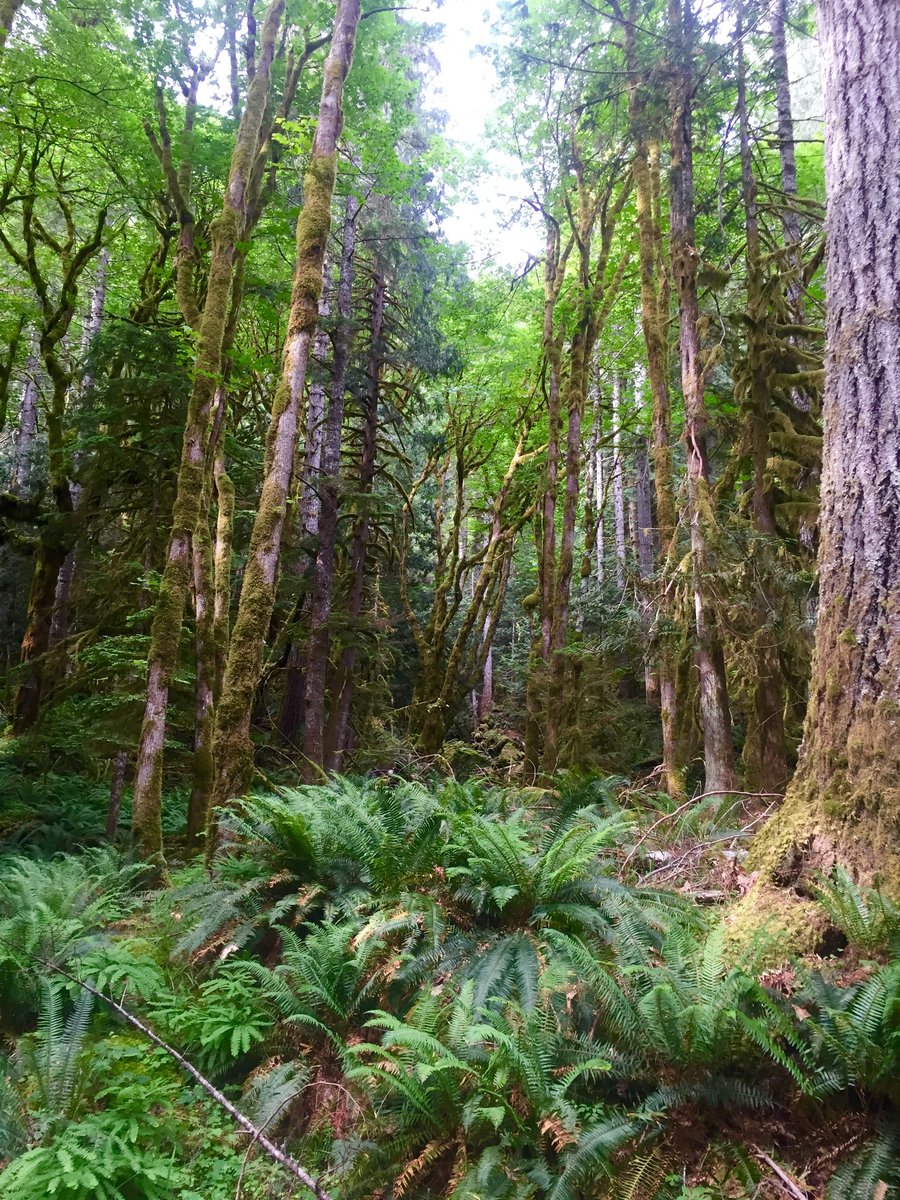
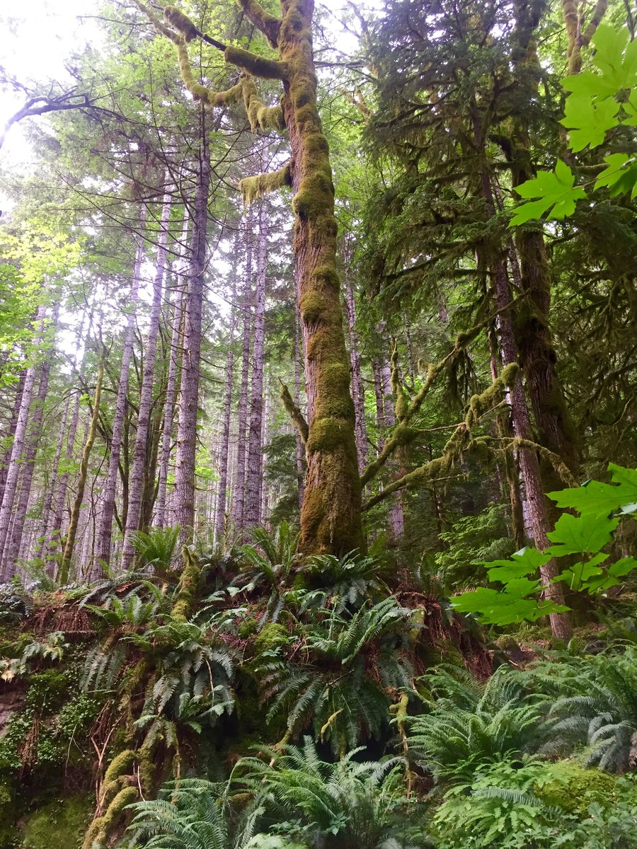
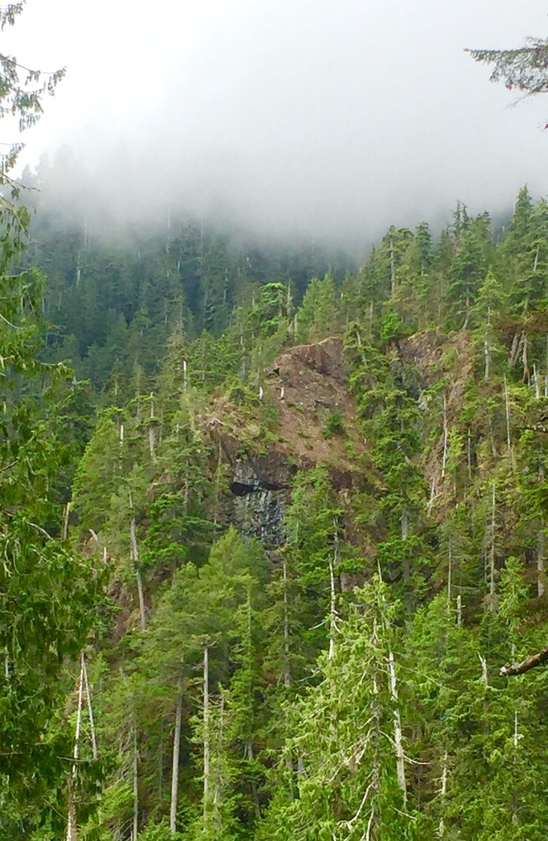
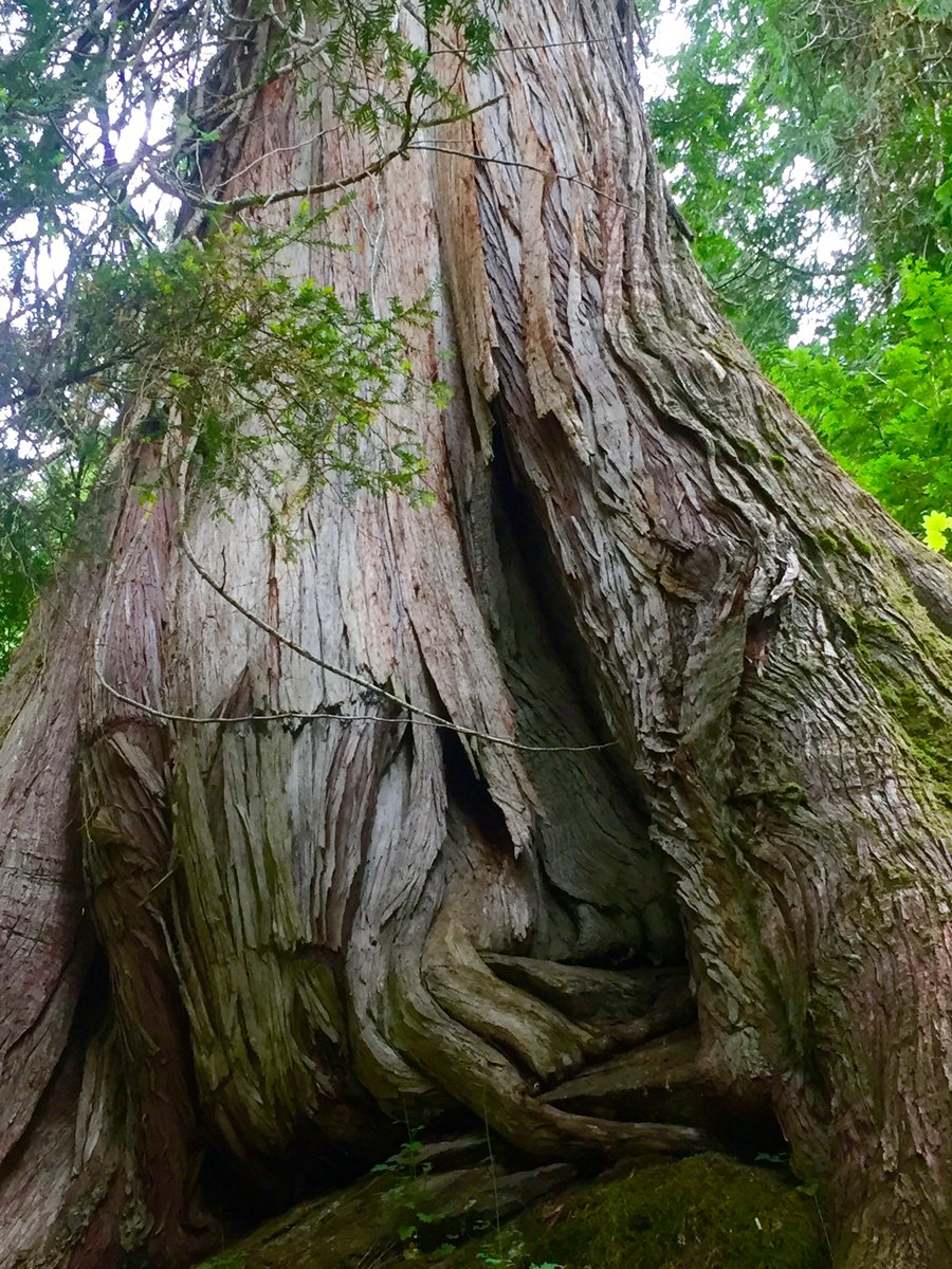
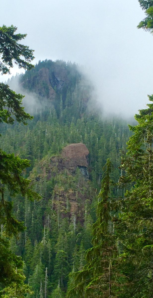
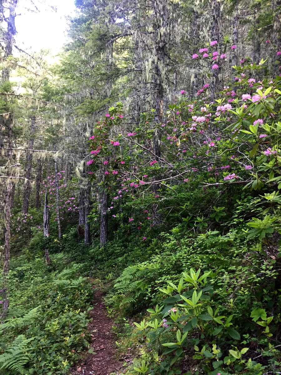
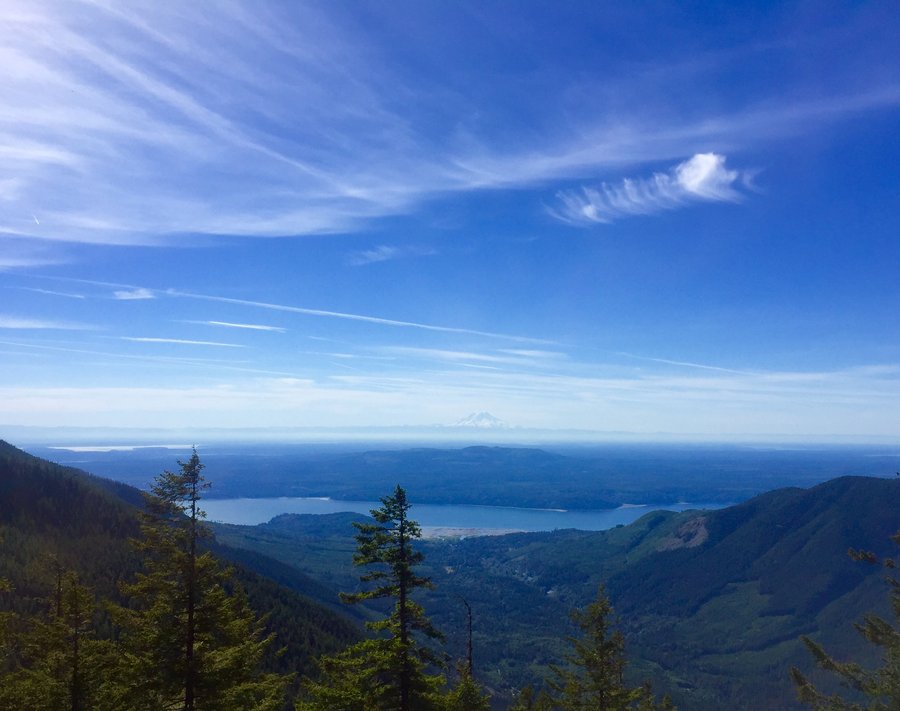
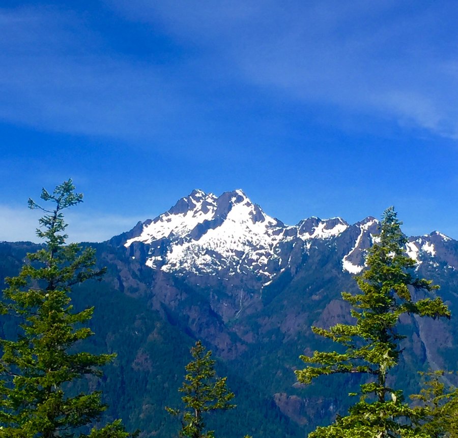
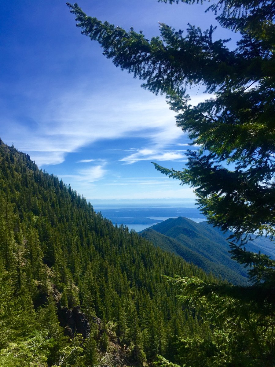
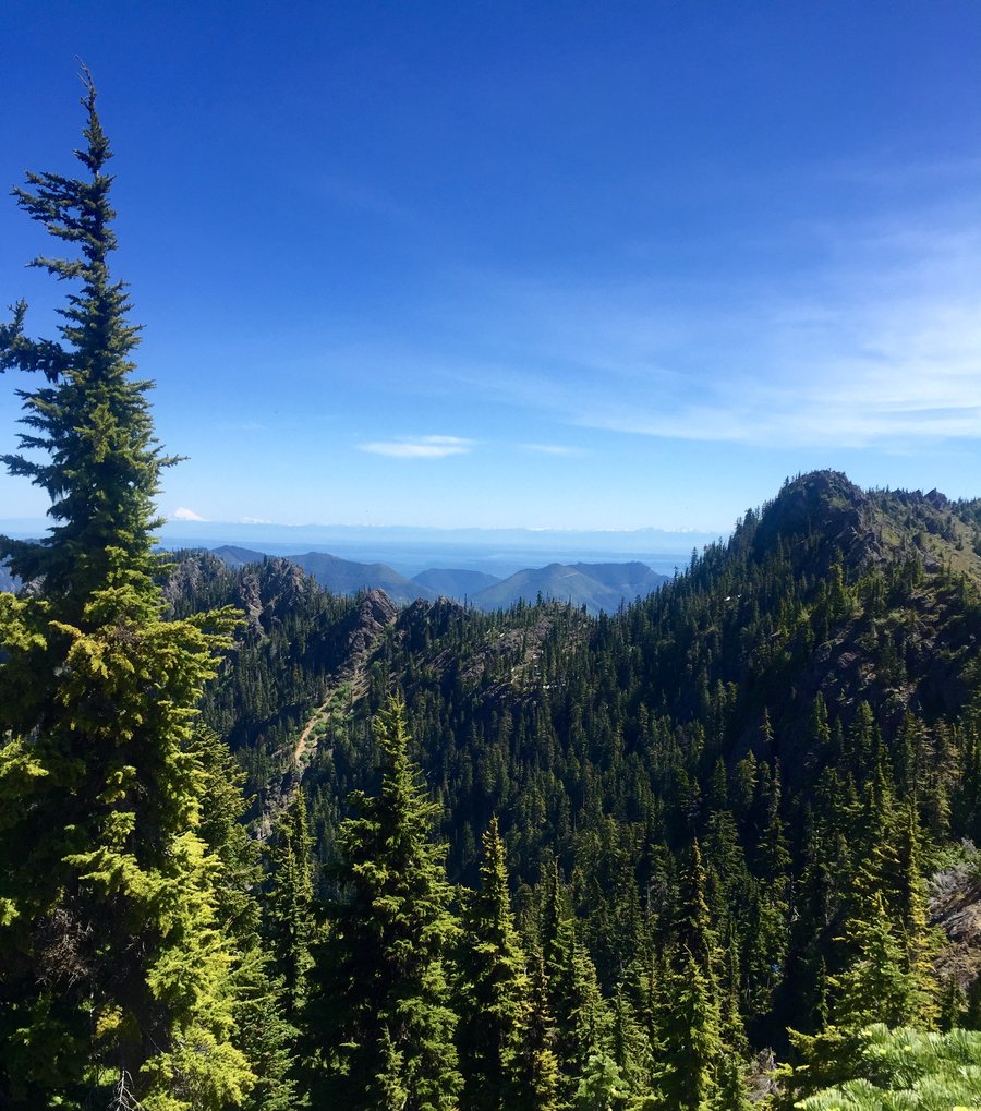
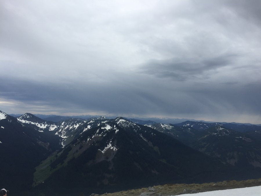
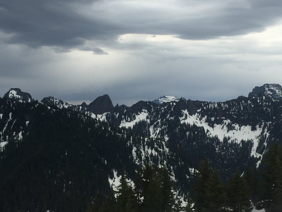
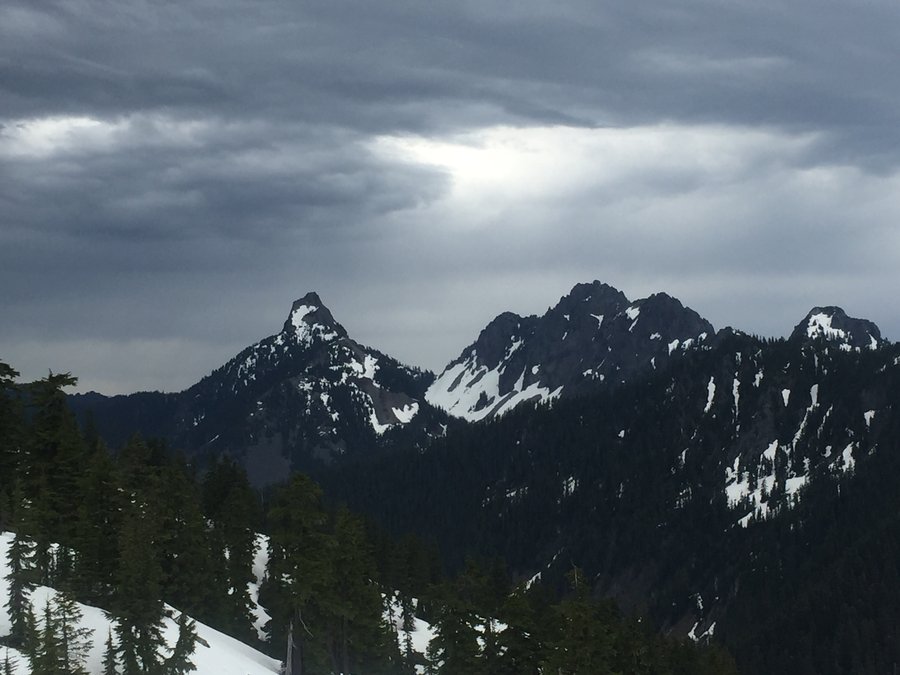
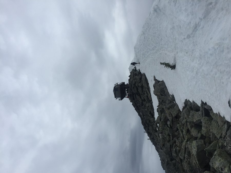
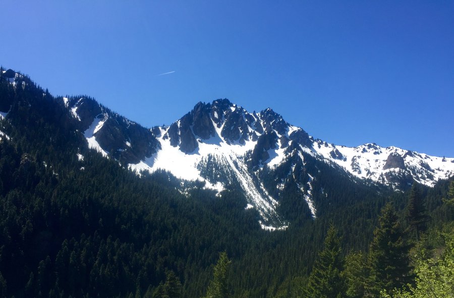
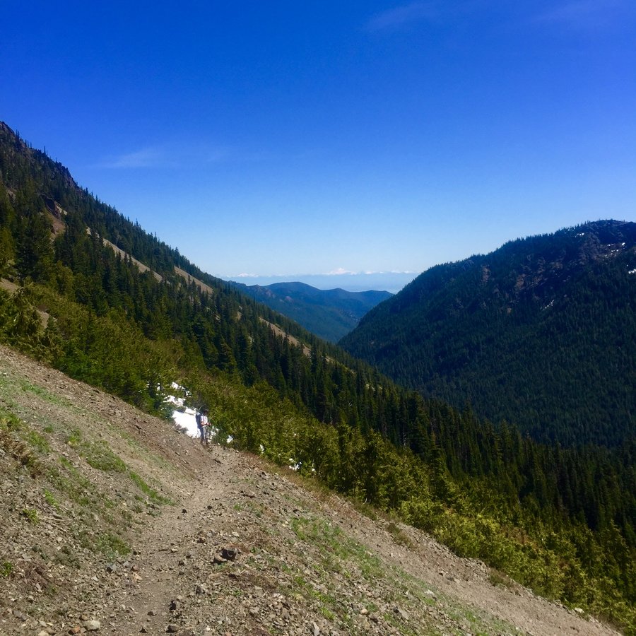
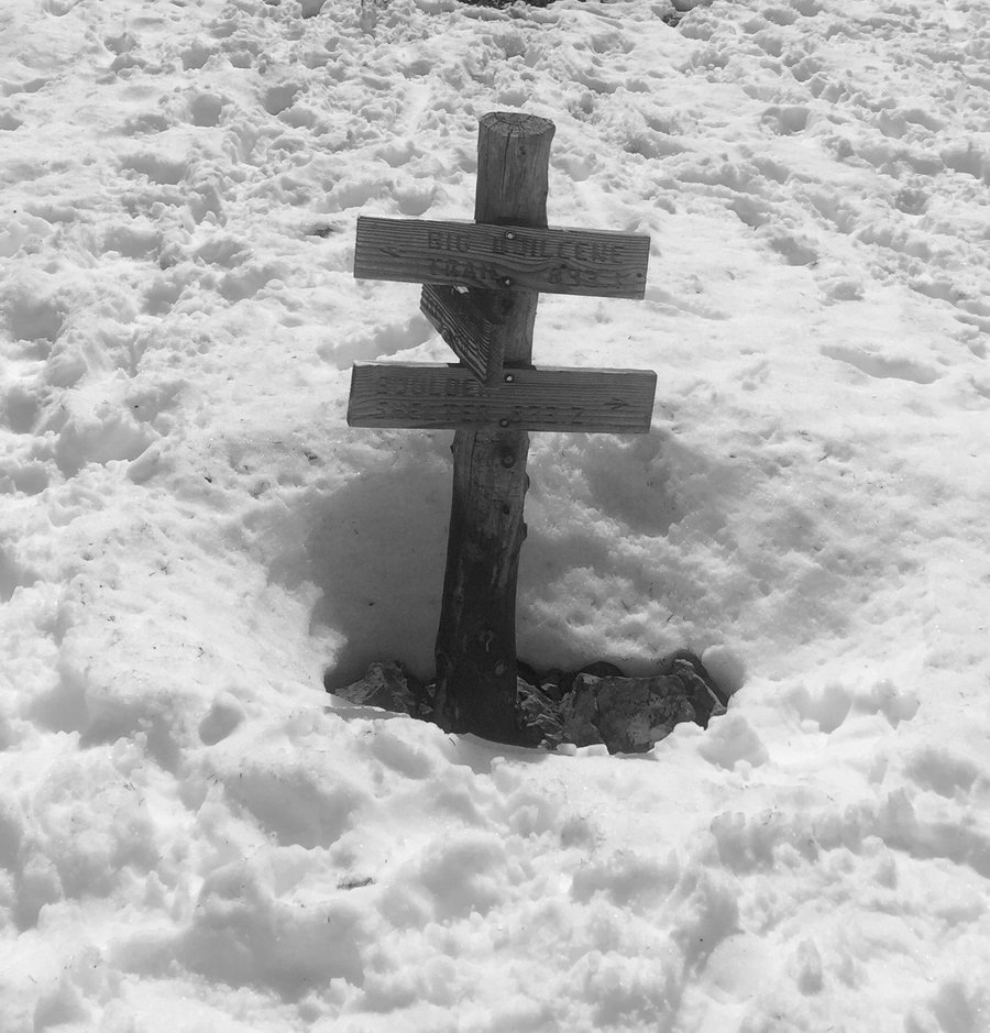
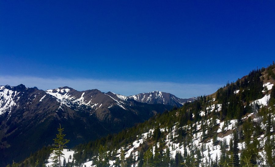
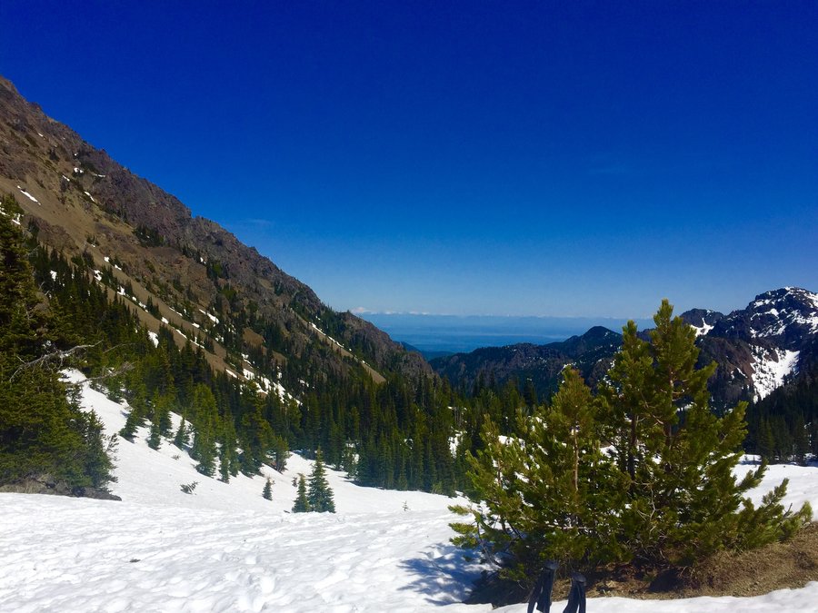
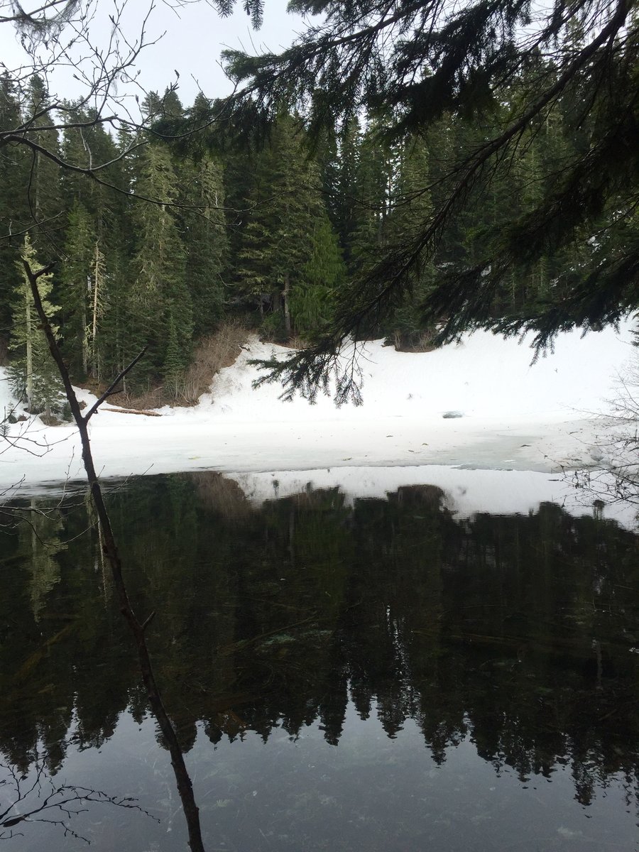
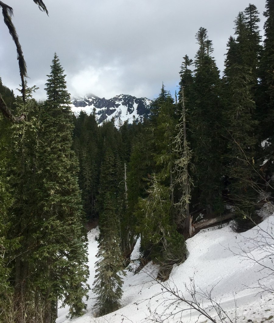
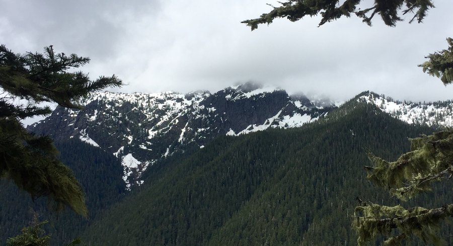
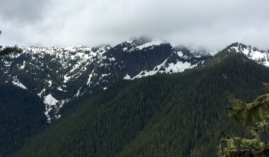
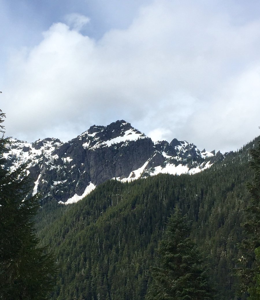
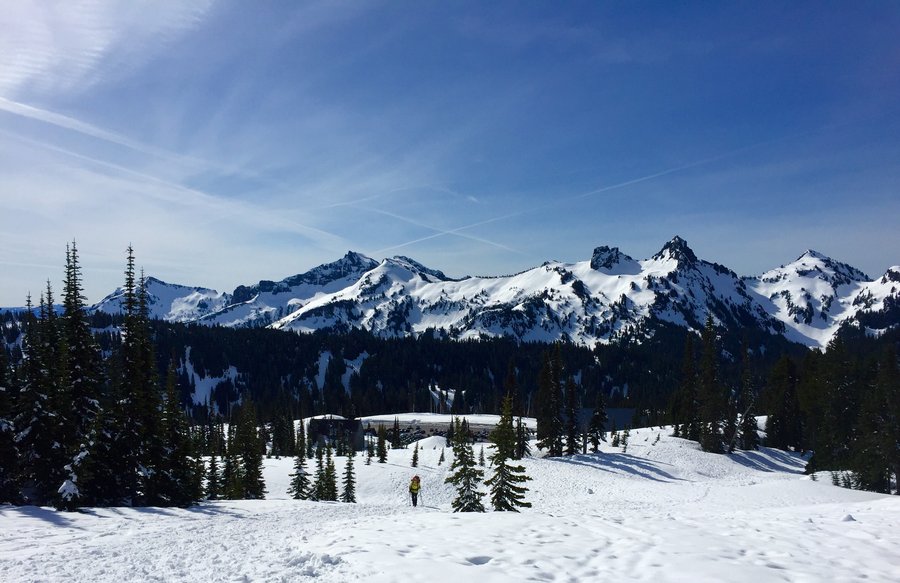
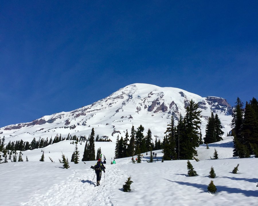
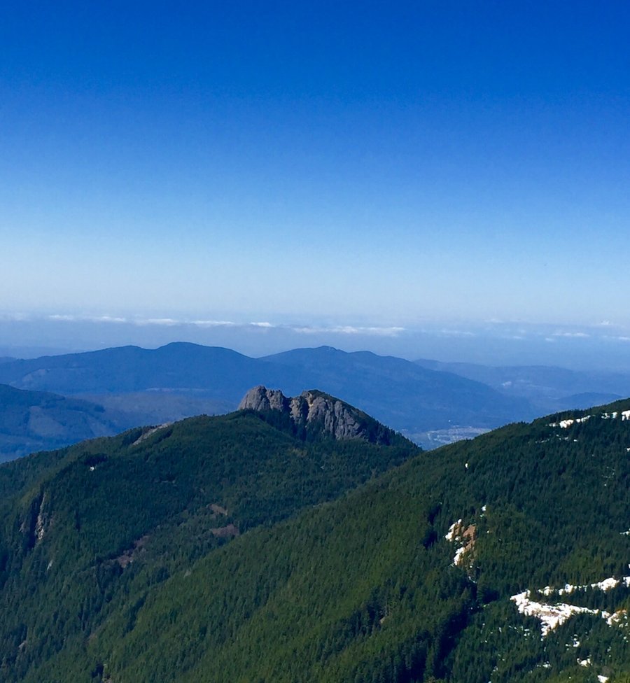
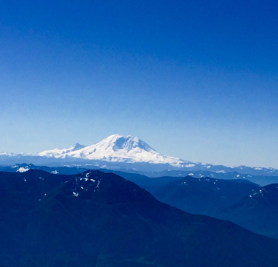
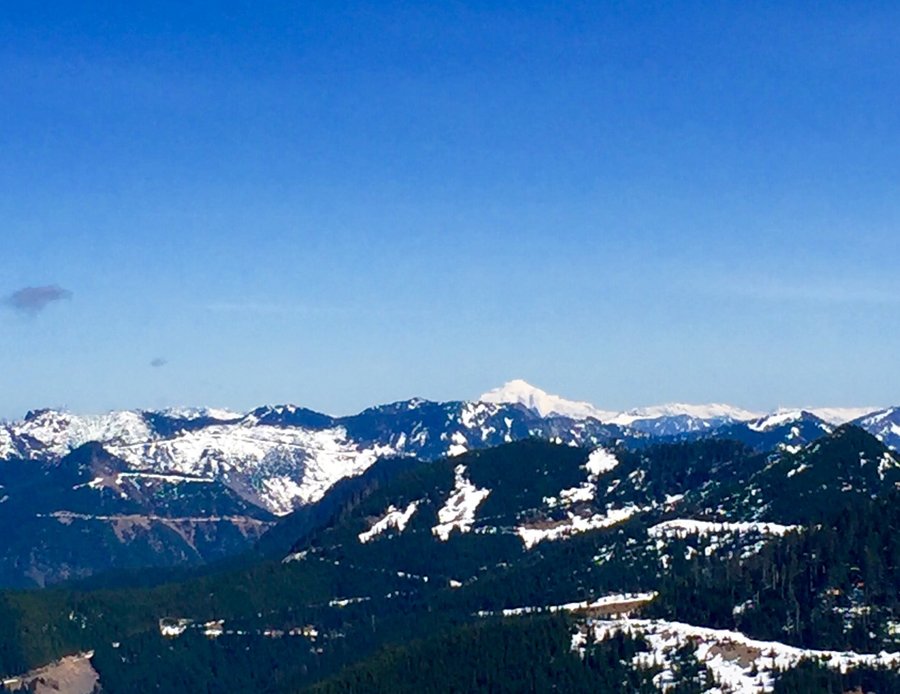
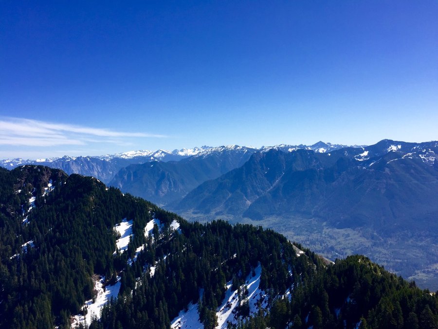
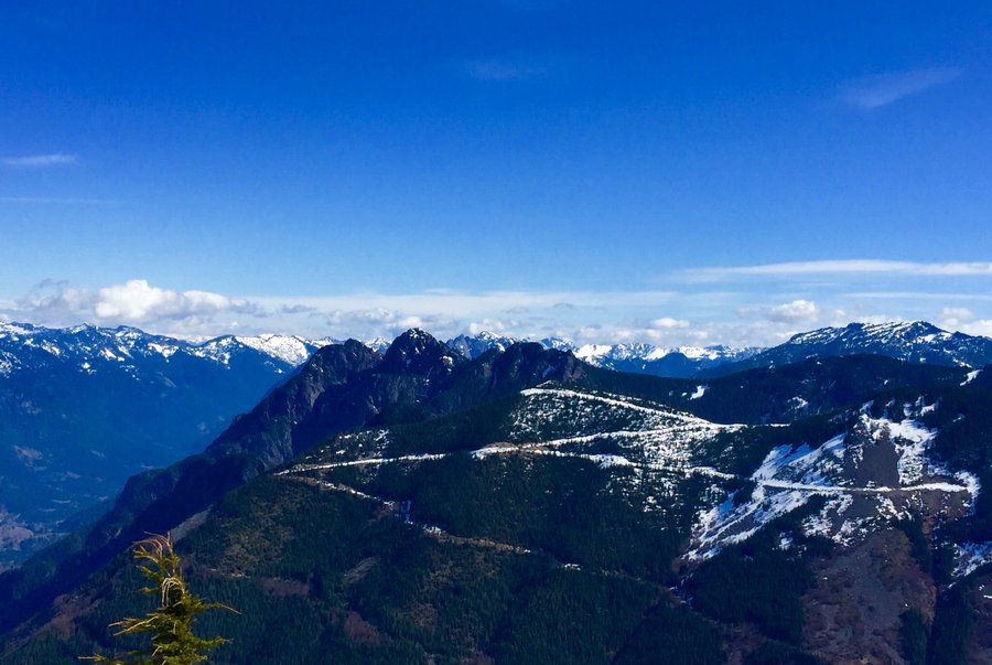
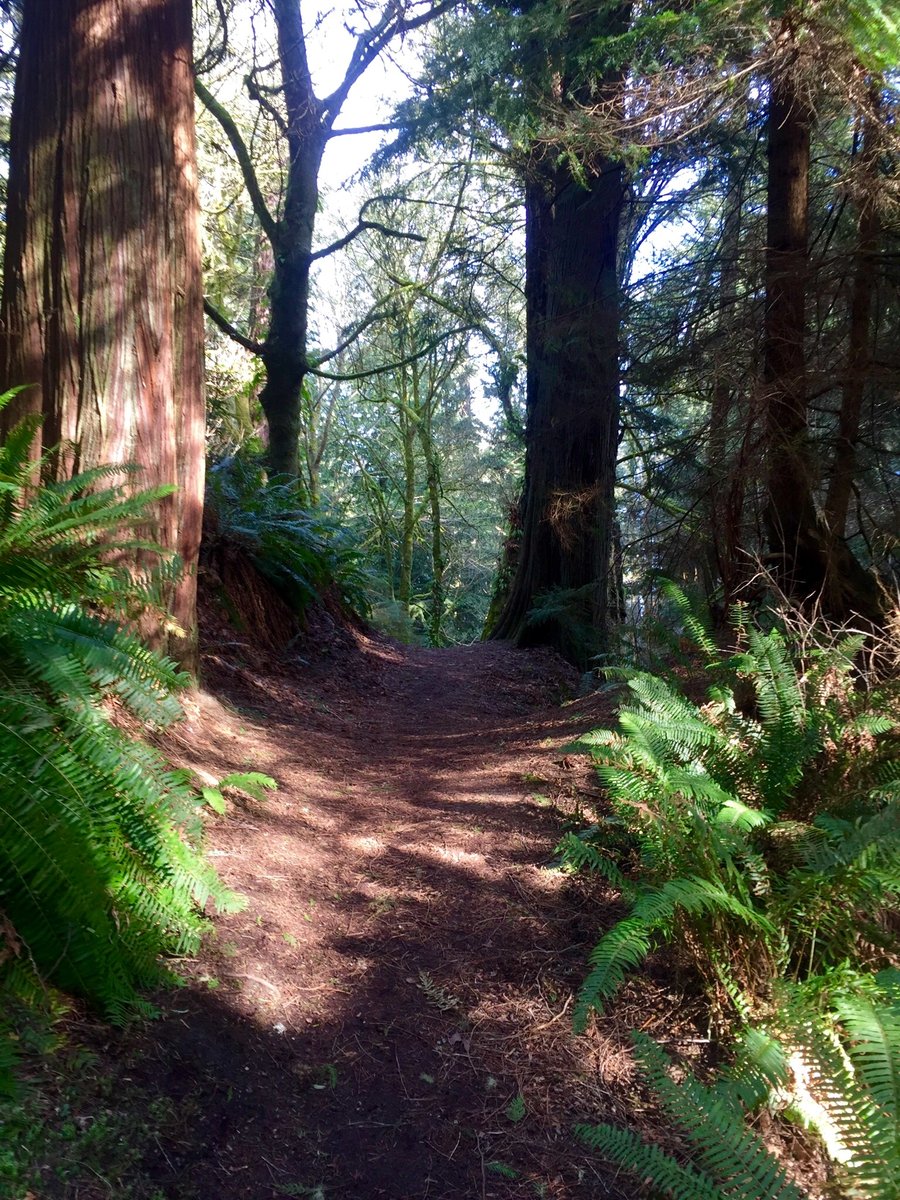
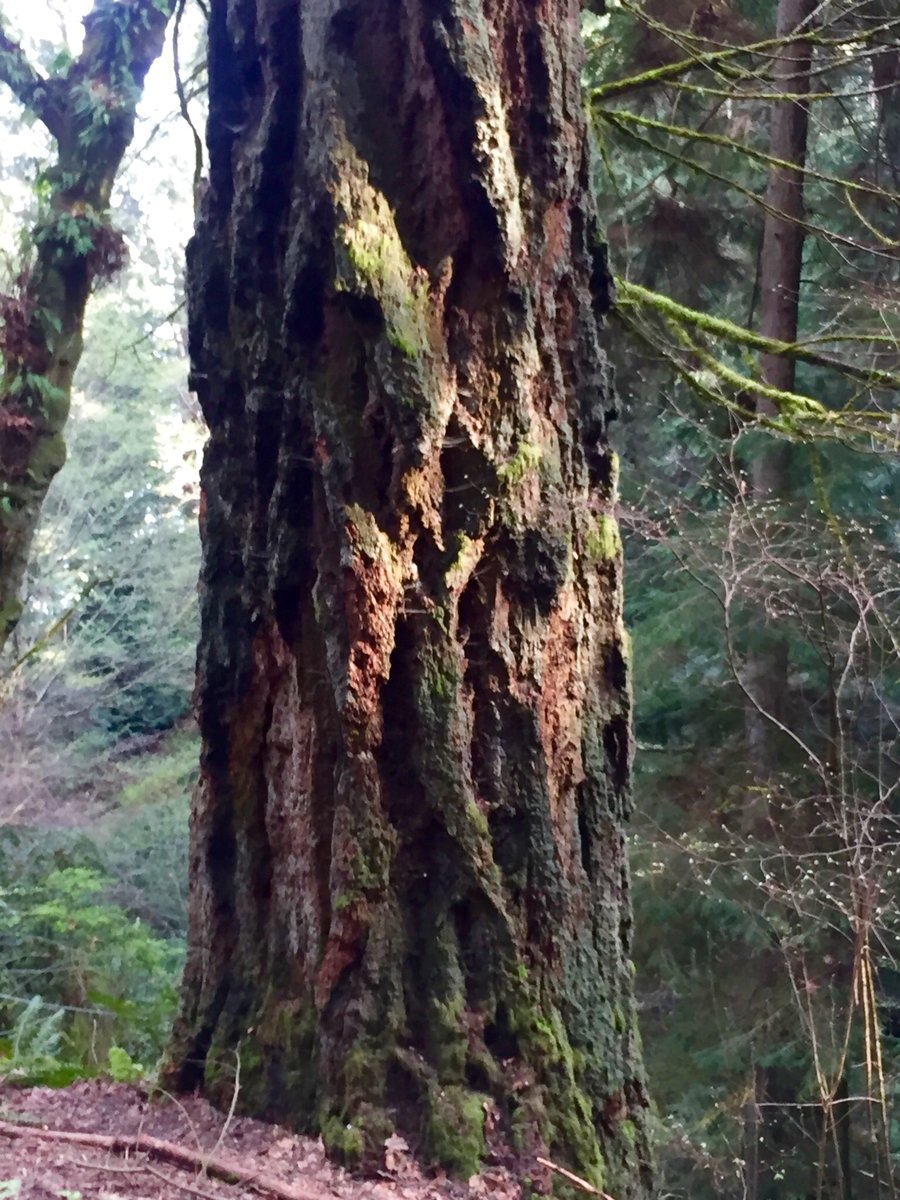
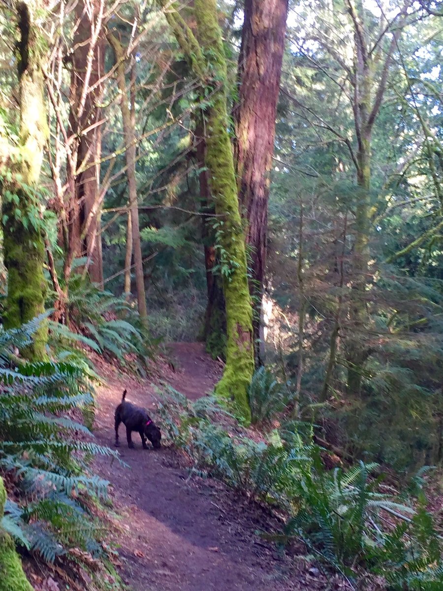
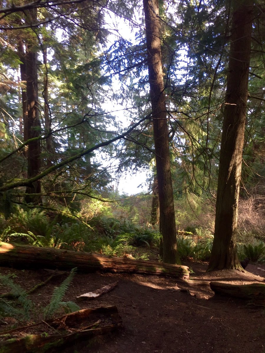
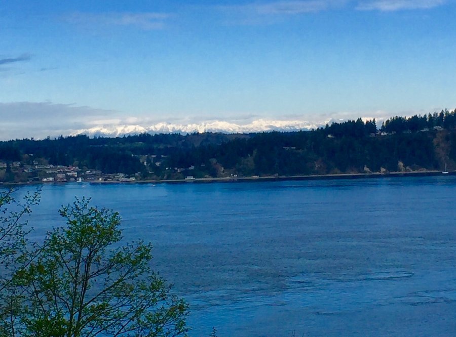
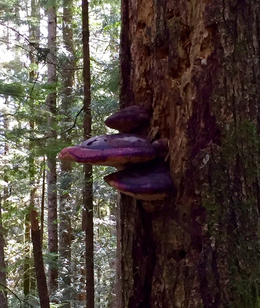
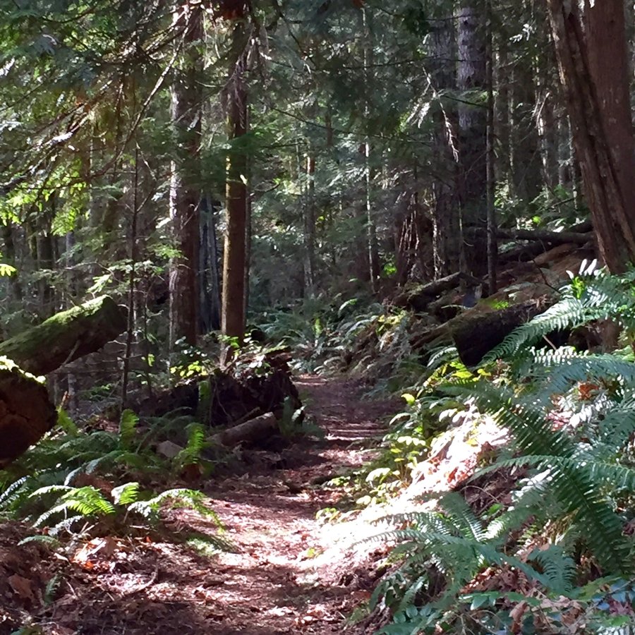
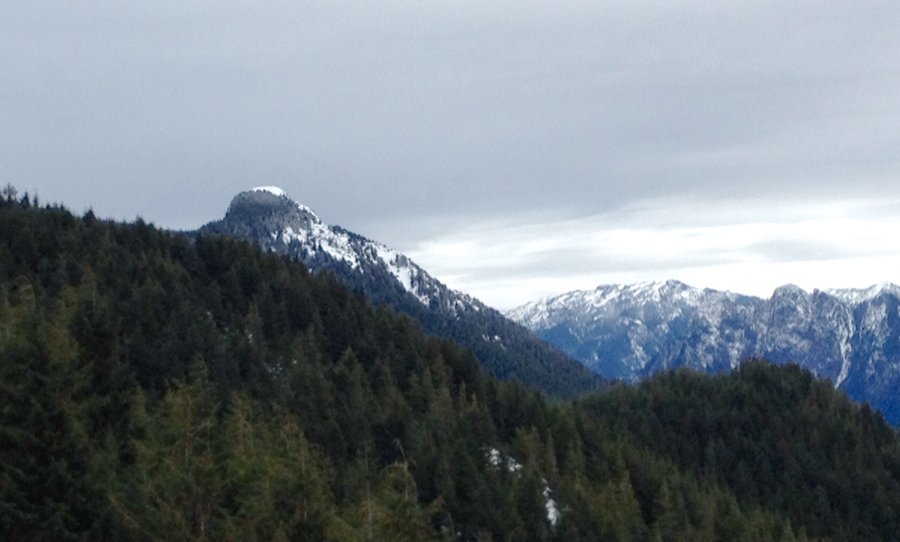
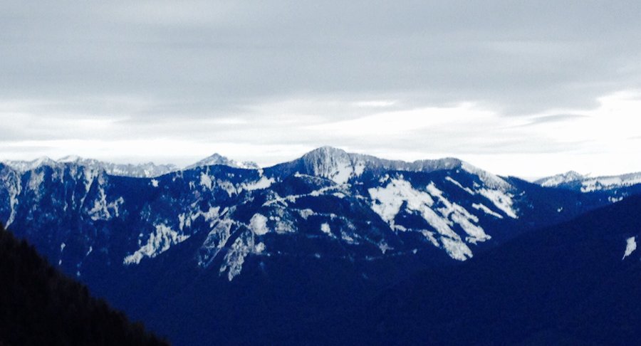
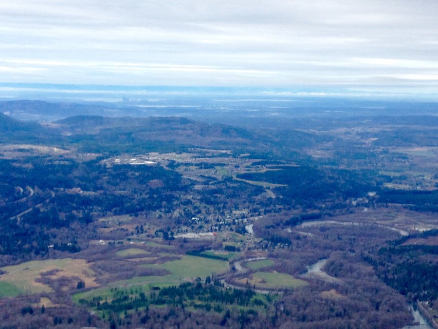
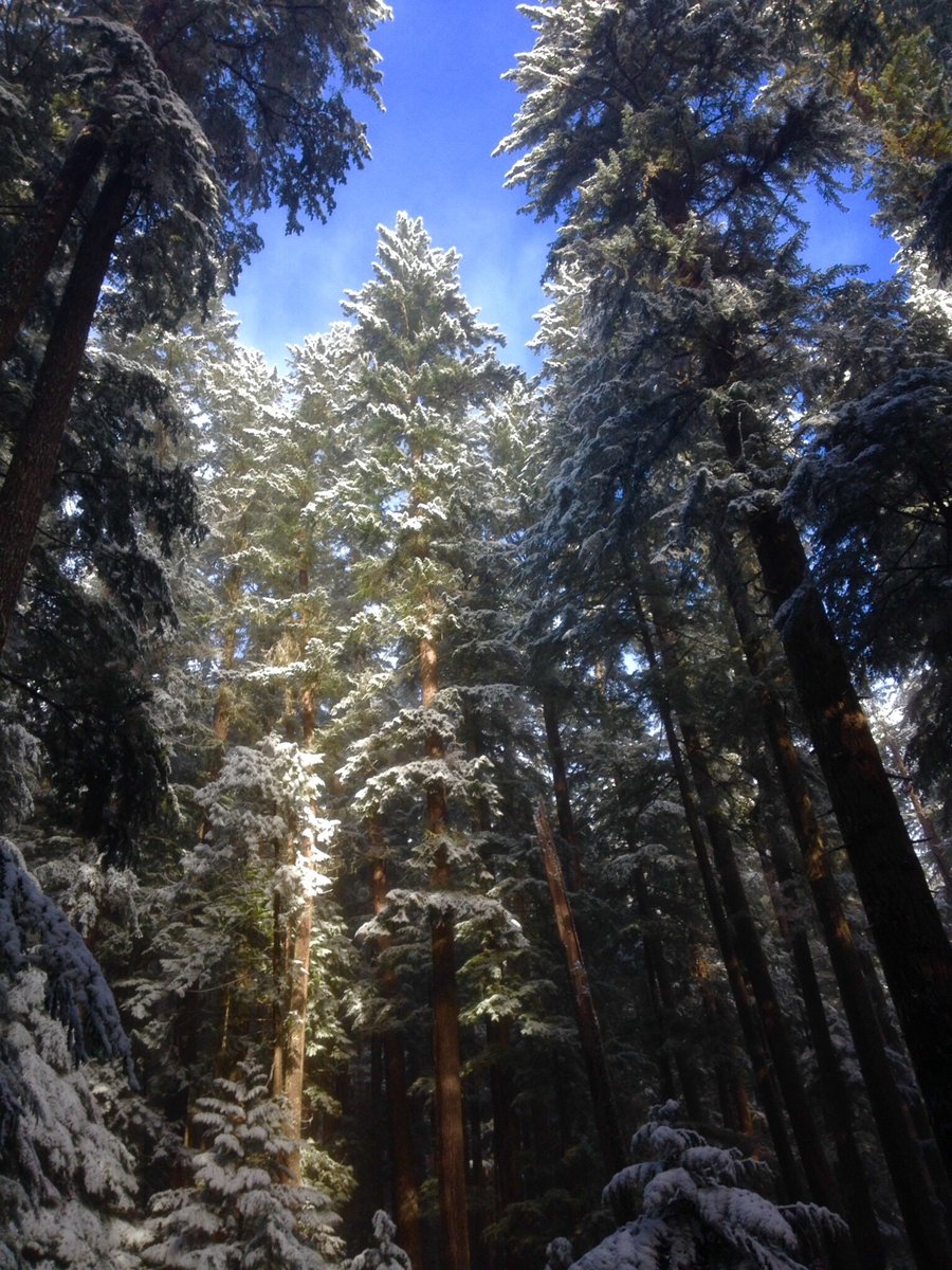
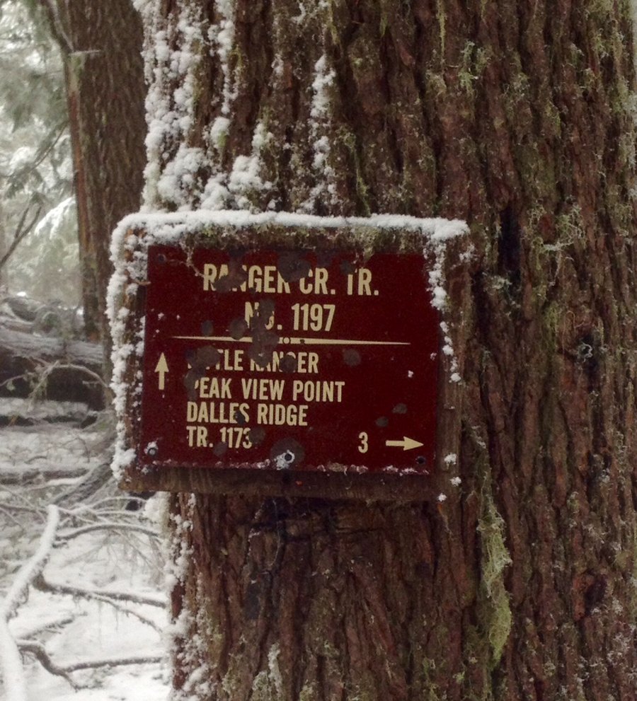
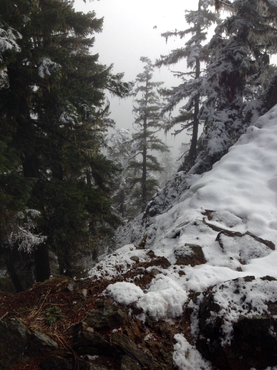
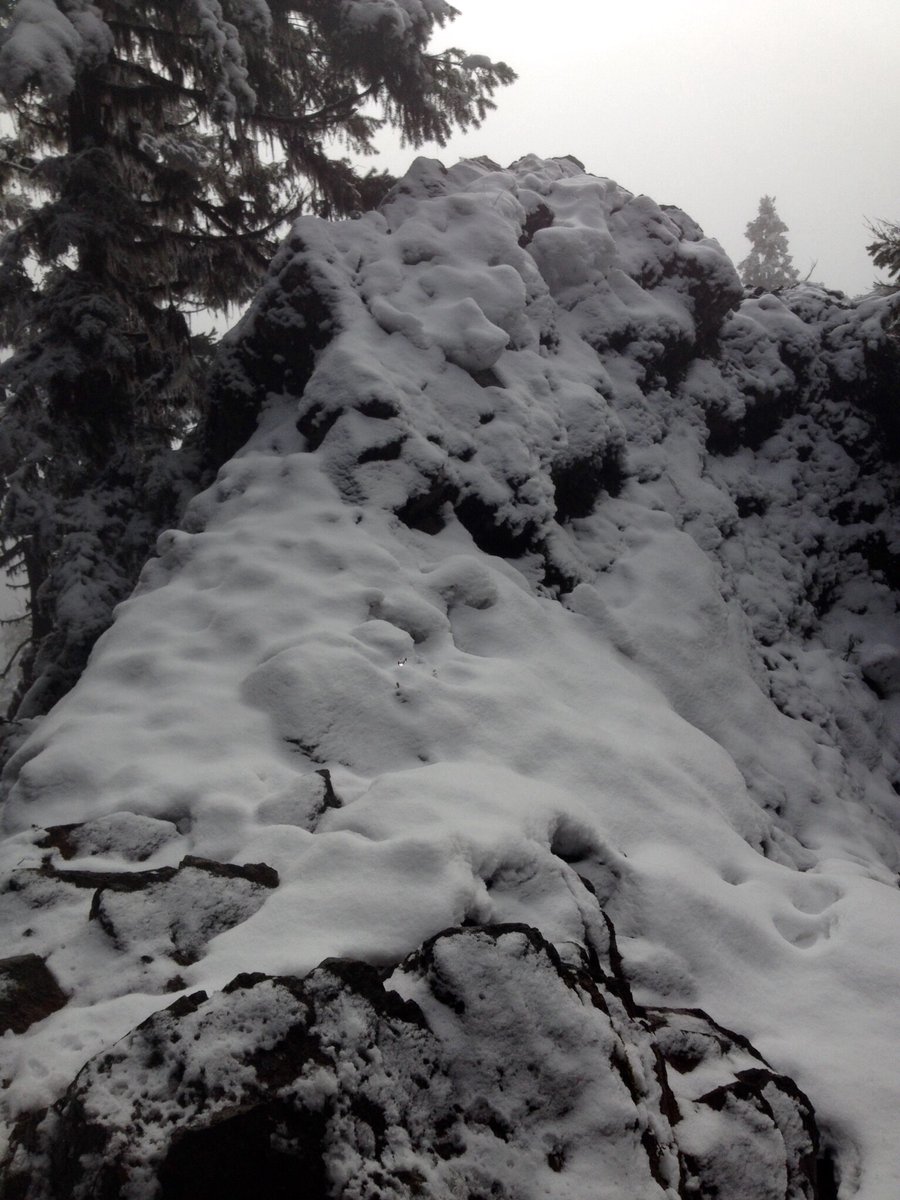
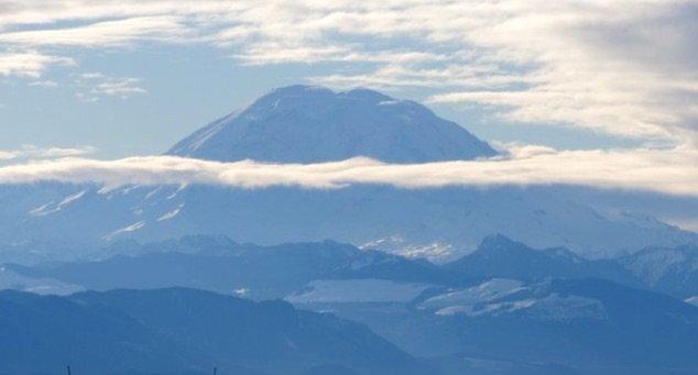
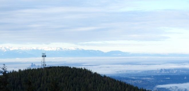
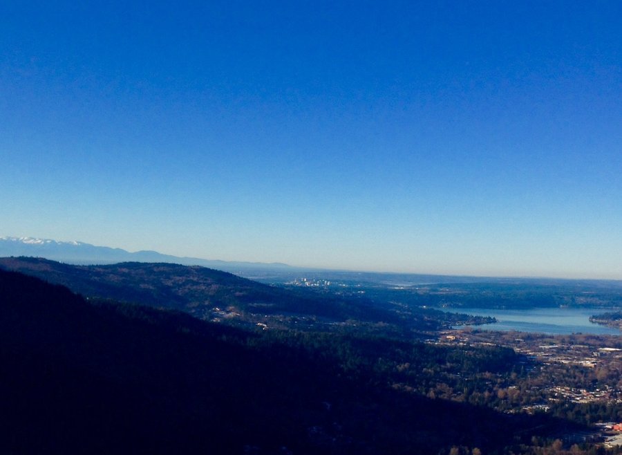
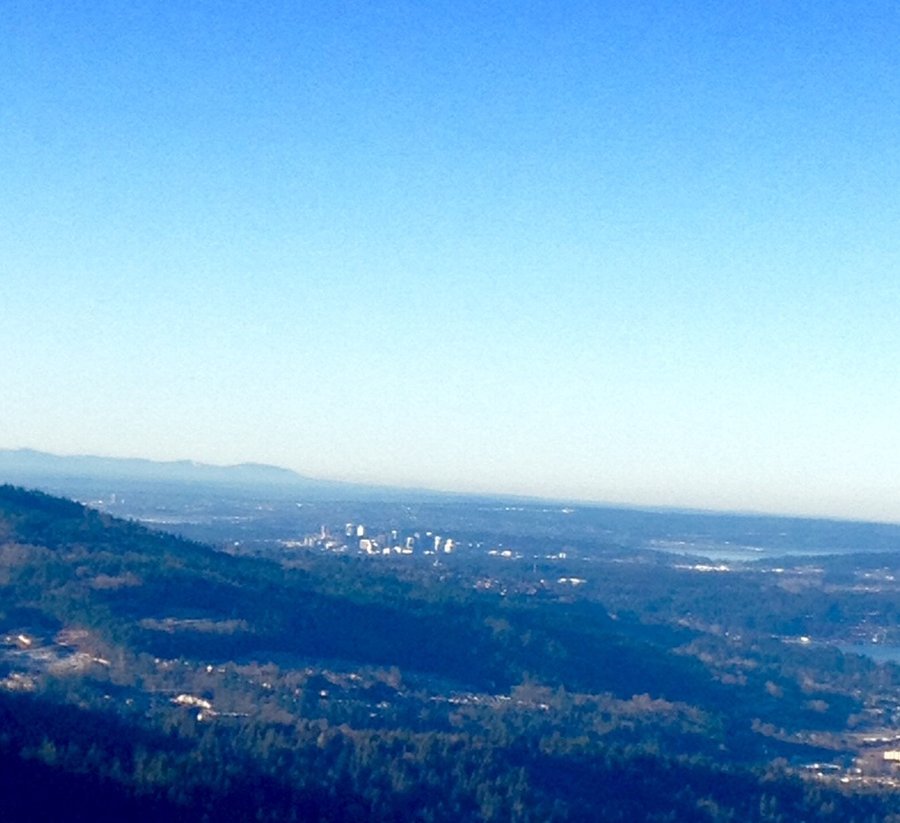
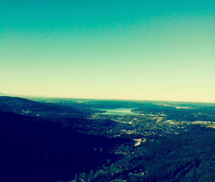
December 30, 2016 Palisade Trail 5.74 miles 1,250 feet gained
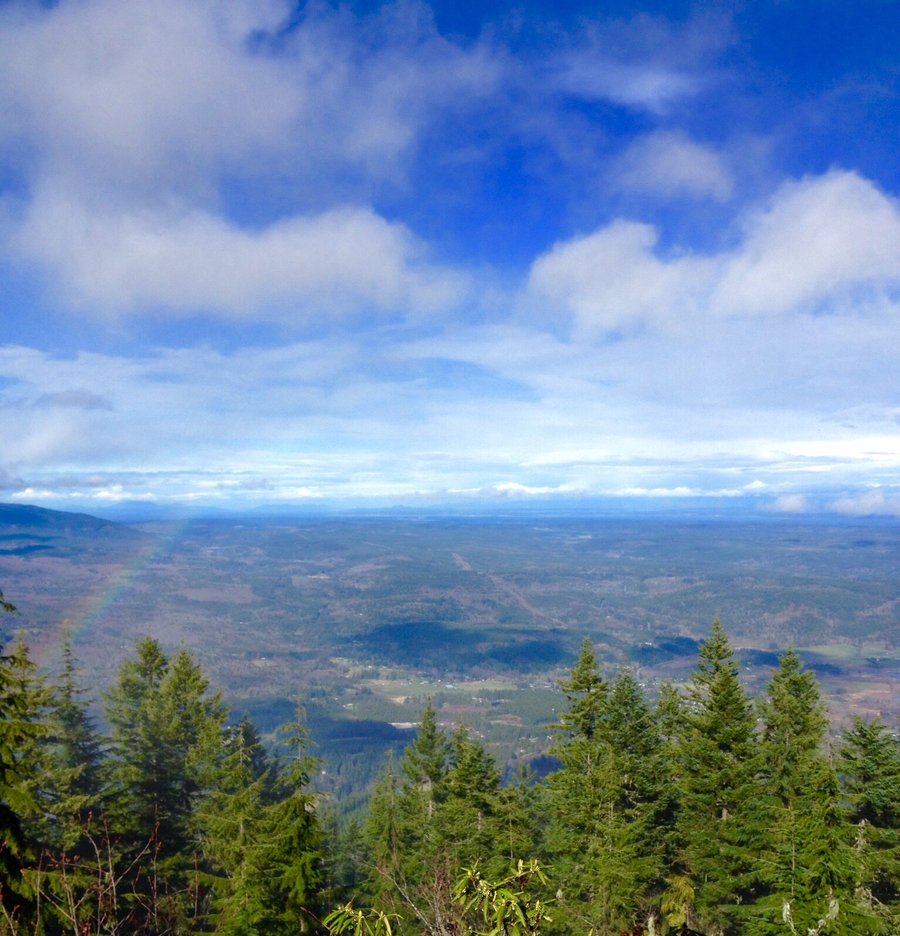
Hiked up to the first ledge or viewpoint.

Email updates
December 30, 2016 Palisade Trail 5.74 miles 1,250 feet gained
Hiked up to the first ledge or viewpoint.
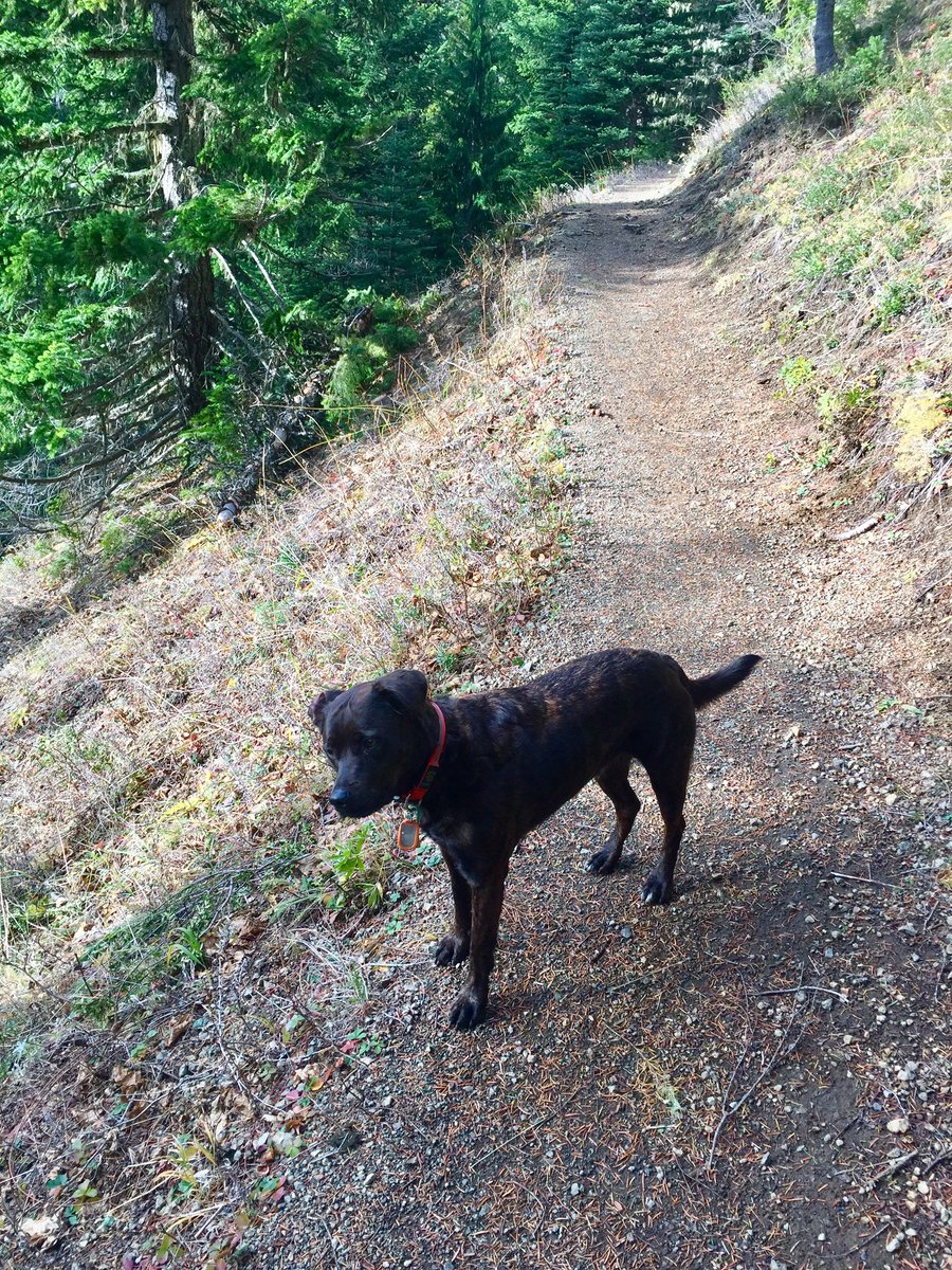
December 25, 2016 Leland Creek 7 miles 2,750 feet gained
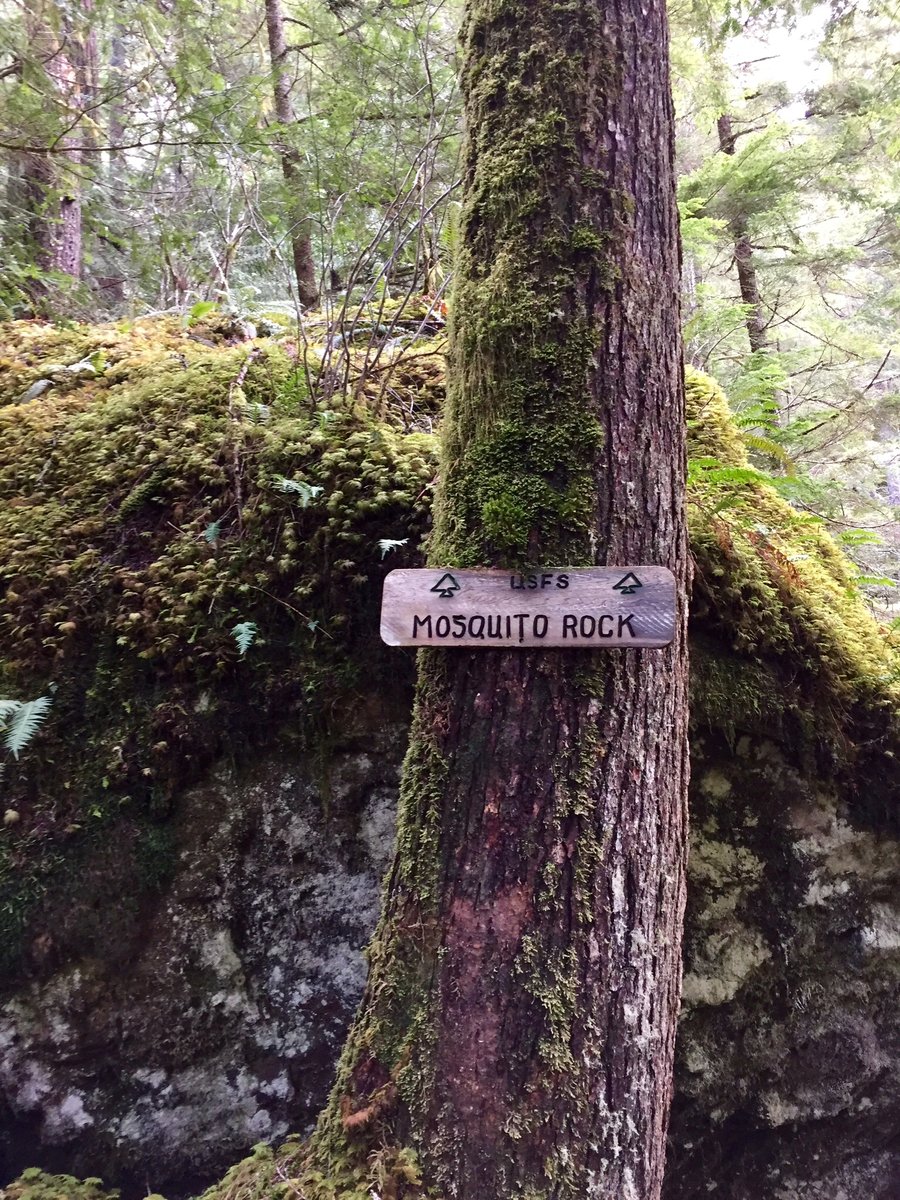
Hiked as far as Mosquito Rock. Dog did a great job breaking trail for me.
December 23, 2016 Point Defiance 4.85 miles 750 feet gained
December 18, 2016 Point Defiance 6.7 miles 1,250 feet gained
December 4, 2016 Mt. Ellinor 11.5 miles 4,000 feet gained
Started @ the Big Creek TH and hiked to the connector with the Mt. Ellinor lower trail. Hiked the Mt. Ellinor trail and reached the winter trail chute @ our 2:00pm turn around time. We brought micro spikes and used them.
November 26, 2016 Squak Mountain 7.18 miles 2,500 feet gained
November 4, 2016 Mount Townsend 9.03 miles 3,500 feet gained
A bit a of off & on snow approaching the first summit but nothing requiring traction devices. It was very windy at the top.
October 30, 2016 Point Defiance 5 miles 1,250 feet gained
October 23, 2016 Mildred Point 7 miles 2,500 feet gained
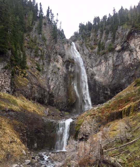
This is one of my favorite fall time Mt. Rainier hikes. Rainier unfortnaley was mostly cloud covered but the falls were thundering pretty good. Once past the falls and up toward Van Trump Park the trail becomes snow covered approx. 1/2 mile from V.T. Park. I brought micro spikes but they were not needed.
October 16, 2016 Point Defiance 5 miles 1,250 feet gained
October 9, 2016 Copper Creek 5 miles 2,500 feet gained
September 25, 2016 Chutla Peak 7.2 miles 3,250 feet gained
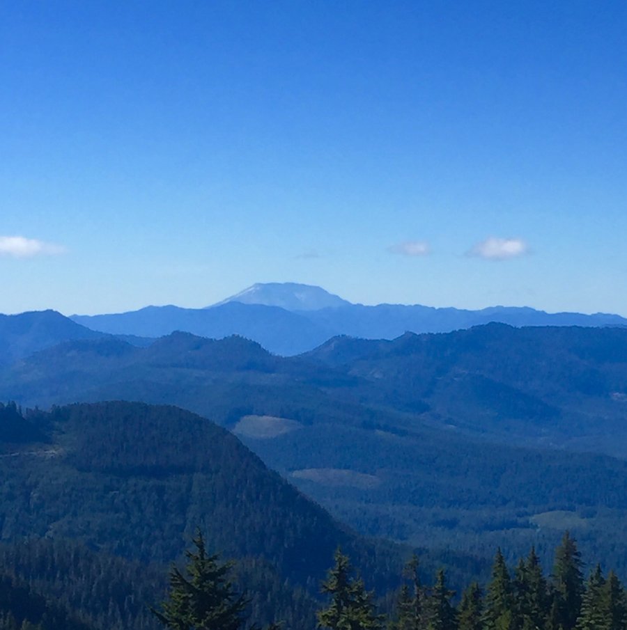
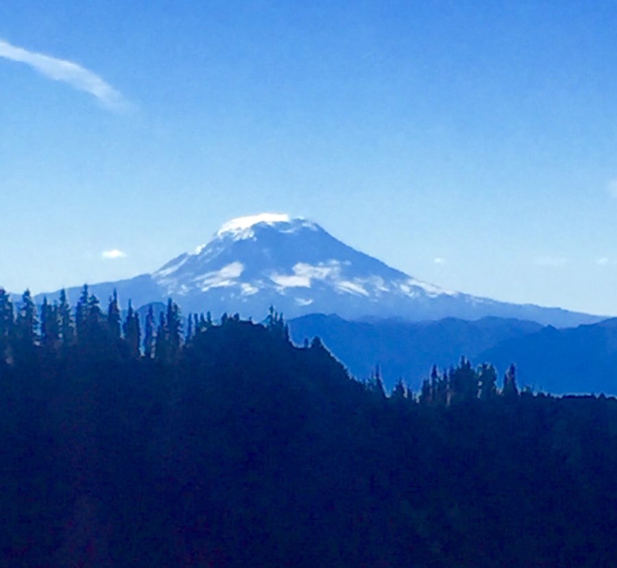
While the crowds are clammoring up to Paradise this trail offers solitude along with great views. Did not see a single person on the trail all day and besides Rainier looming in your face, Adams, St. Helens & even Hood could be seen from the summit.
September 13 to September 16, 2016 Thunder Arm 23.32 miles 7,500 feet gained 3 nights
Made base camp @ Colonial Creek & than day hiked Thunder Knob, Maple Pass Loop & Cascade Pass up to Sahale Glacier.
September 4, 2016 Goat Peak 7.23 miles 4,250 feet gained
Goat Peak was the home of a fire lookout so the views @ the summit are 360 degrees & fantastic. Rainier was visible during the climb up but the weather moved in while I was approaching the summit & Rainier disappeared behind a bank of clouds. Nice views of Fife Peak, Goat Rock Wilderness & Bumping Lake. At summit was even hailed on for a spell. Afterward hik...
August 27, 2016 French Cabin Mountain 6.69 miles 2,500 feet gained
I was expecting better views from this hike as my hiking guide rated it 4 out of 5 stars. Appears since the book was written the trees have grown blocking some of the views.
August 20, 2016 Harrison Lake 9 miles 3,250 feet gained
While the crowds assend Mt. Townsend this overlooked peak is easily accessed from the Tunnel Creek TH. Great views of Mt. Constance, Puget Sound & the mountains of The Brothers Wilderness. We saw only 3 people on the trail along with one bear. Great hike for a hot day.
August 15 to August 17, 2016 Duck Lake 12 miles 0 feet gained 2 nights
July 31 to August 4, 2016 Honeymoon Meadows 56 miles 11,500 feet gained 4 nights
Made base camp @ Diamond Meadows @ 2700' & then day hiked from there to Anderson Glacier twice. First time the weather did not cooperate, foggy & drizzly, 2nd time weather was great & the views @ Anderson Pass & at the glacier were fabulous.
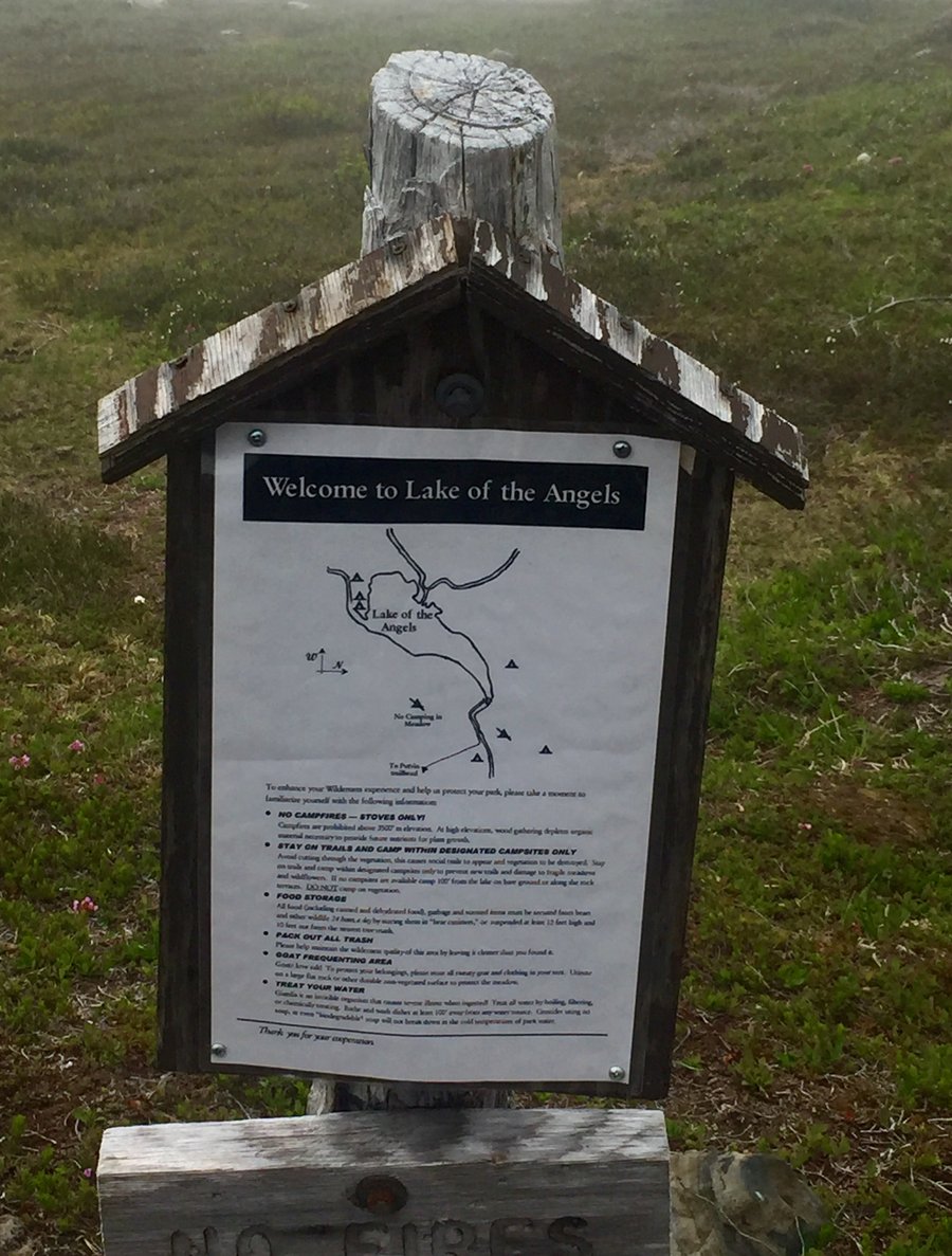
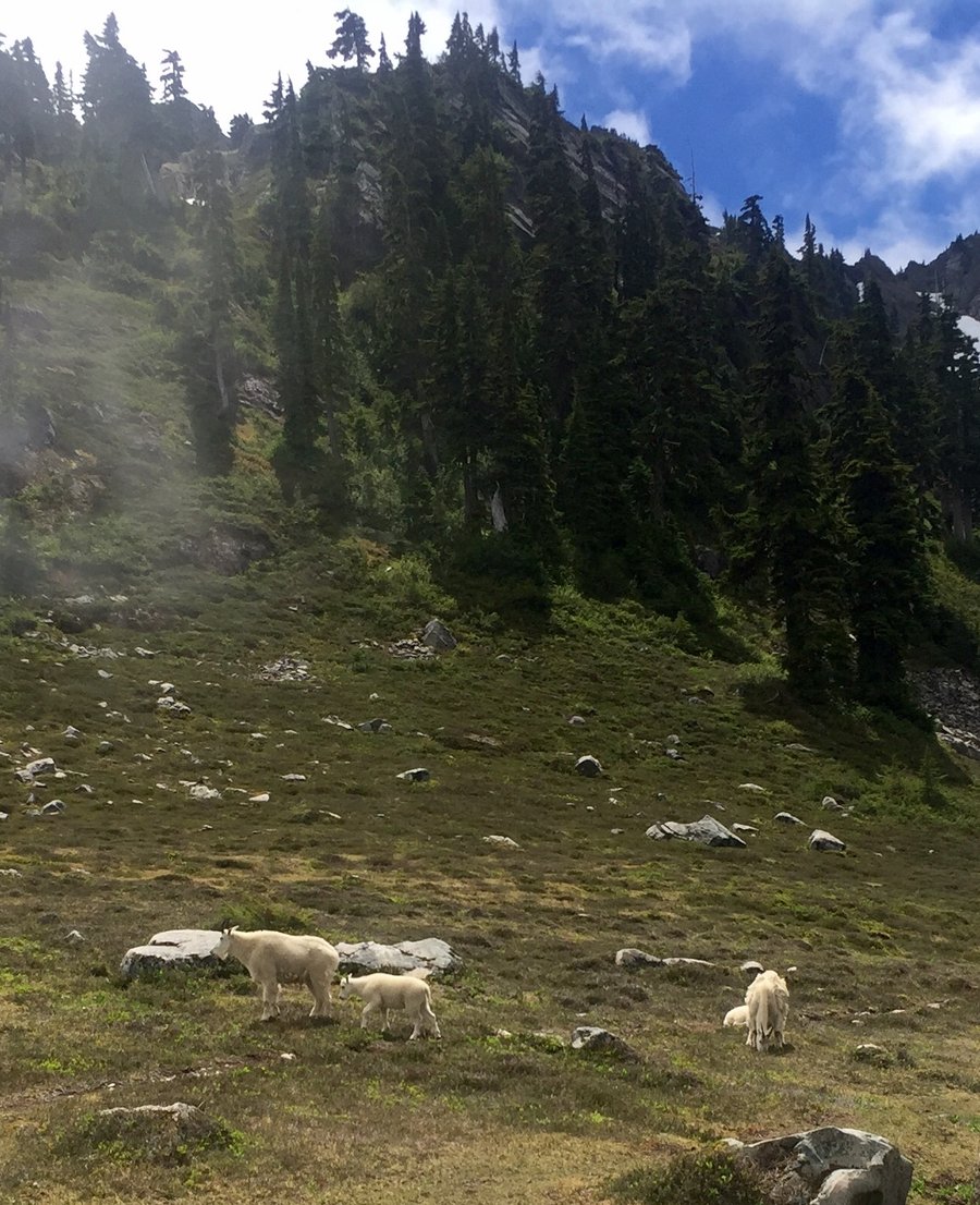
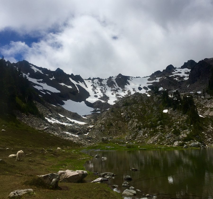
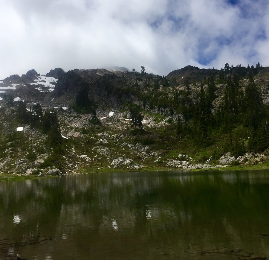
July 23, 2016 Lake of the Angels 9.16 miles 3,750 feet gained
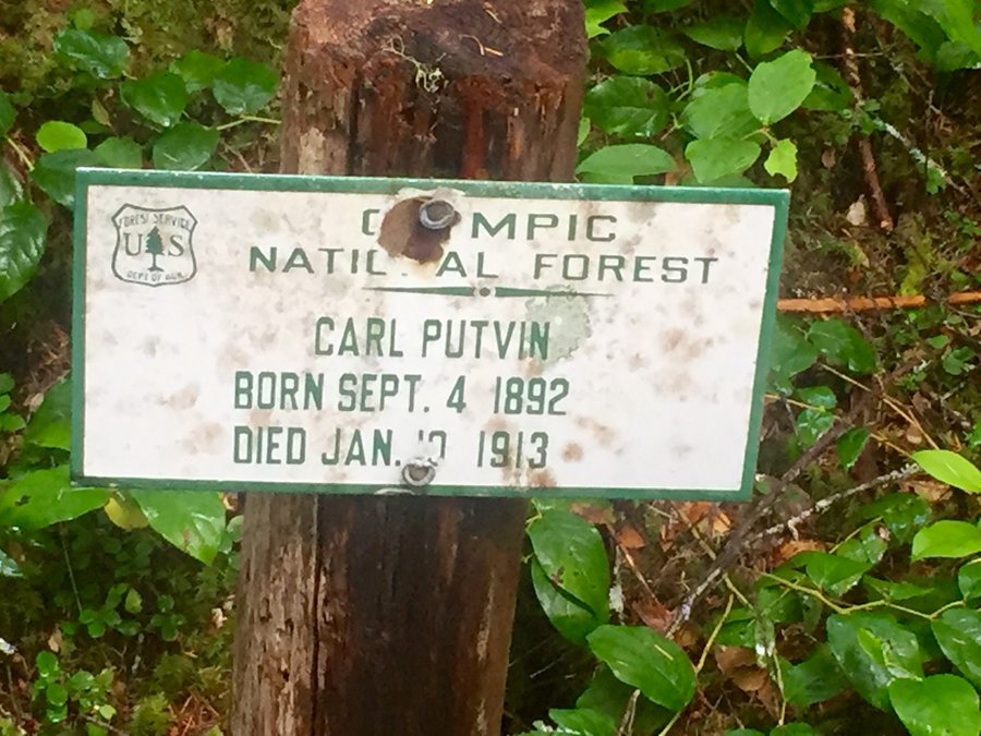
Putvin Trail to Lake of The Angels. This is a steep, rooty, muddy trail that is quite challenging with several fun scrambling areas.
July 16, 2016 Point Defiance 5.13 miles 1,750 feet gained
July 4, 2016 28 miles 4,500 feet gained
While visiting the wife's relatives in Korea spent 4 days day hiking in Jirisan National Park which is the largest National Park in Korea.
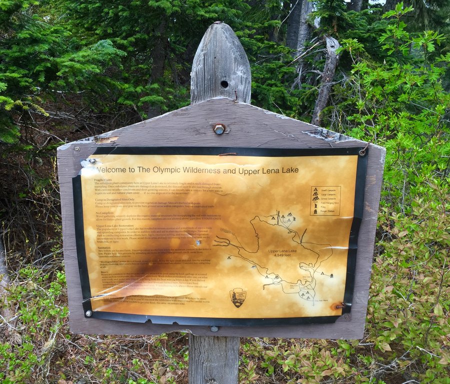
June 25, 2016 Upper Lena Lake 16.71 miles 4,500 feet gained
Upper Lena Lake is still pretty much snow covered. Trail is in decent shape. There are a few blow downs you need to crawl under & just a couple of small areas of the trail still covered by snow. The river crossing is pretty much a none issue at the moment.
June 18, 2016 5.13 miles 1,750 feet gained
June 11, 2016 Lightning Peak 8 miles 3,500 feet gained
Nice old growth hike with an off trail side trip to the base of Lightning Peak for a look @ a possible future summit attempt.
June 4, 2016 Mount Jupiter 12.23 miles 4,000 feet gained
Great views from this former fire lookout site. Trail is entirely snow free.
May 27 to May 28, 2016 Gibraltar Rock 9 miles 9,500 feet gained 1 night
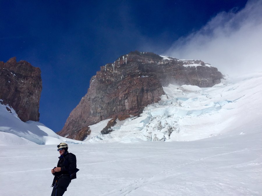
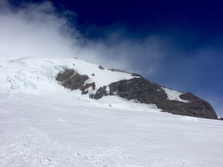
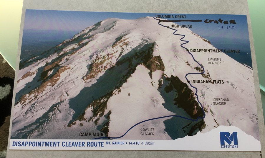
Five of us signed up with RMI to attempt this summit climb via the Disappontment Cleaver Route. The hike up to Muir was pea soup with limited visibility due to windy snowy conditions. Muir bunkhouse was full so we camped @ Muir. Very cold & windy. Left Muir @ 2AM under clear skies but cold & windy conditions. Crossed the Cowlitz Glacier & rested at Ingraham ...
May 14, 2016 Granite Mountain 7.54 miles 3,750 feet gained
The last 1/2 mile is snow covered and fairly steep. You may be able to negotiate the summer route but the majority of people were heading straight up the snow field to the summit. I put on crampons but they were not absolutely necessary just made the accent and especially the descent easier. There were 2 pretty good glissade chutes on the way down which were...
May 7, 2016 Marmot Pass 12.16 miles 4,250 feet gained
Solid snow from Camp Mystery to the pass. I put on crampons due the snows consistency but it was possible to assend without. The trail to Buckhorn was pretty much melted out but we chose to climb the ridge to the south to get better views of Warrier Peak & Mt. Constance. We then glissade a good 100 yards down from the ridge to the main trail.
April 30, 2016 Mount Si 6 miles 3,500 feet gained
April 23, 2016 Wagonwheel Lake 6.05 miles 3,500 feet gained
Lake is fairly unremarkable & mostly still covered by snow. There is a fairly large steep snowfield which must be crossed just prior to the lake.
April 16, 2016 Nisqually Cirque 9.23 miles 4,750 feet gained
Picture perfect day for this climb. Could clearly see Adams, St. Helens & Hood. Last mile on the way down was a postholing mess though due to the warm temps.
April 9, 2016 Mount Teneriffe 8.13 miles 4,000 feet gained
Trail is fairly crowded up to the falls but beyond that crowds are light. Snow begins approx 500' from the summit and while traction devices are not absolutely necessary it did make the final assent and subsequent descent much easier.
March 27, 2016 Point Defiance 5.45 miles 750 feet gained
Short Easter Day hike with the family.
March 13, 2016 Mount Washington 8.33 miles 3,500 feet gained
A little bit of everything weather wise from sunny @ the start, light snow/rain in the middle, to blizzard like conditions during the summit approach.Great fun!
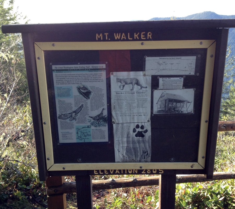
March 5, 2016 Mount Walker 4.46 miles 2,250 feet gained
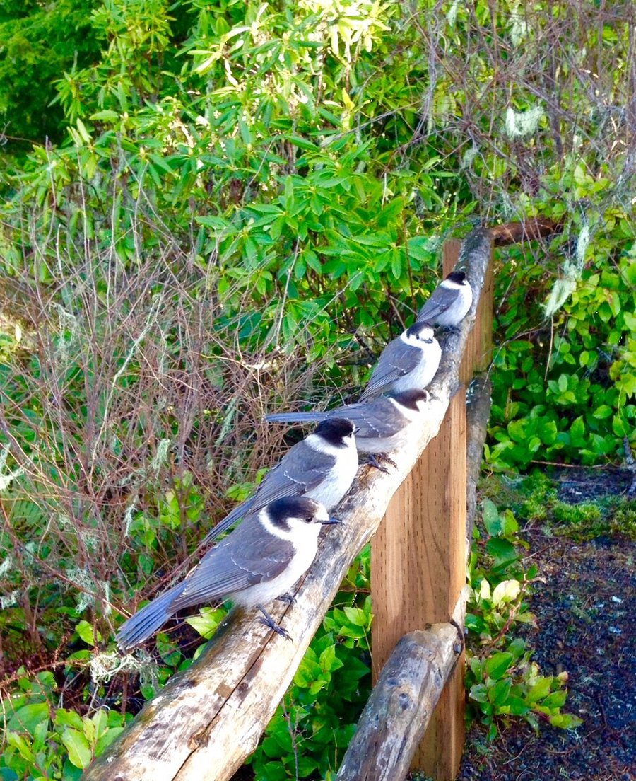
The Grayjays were out in full force @ the summit but we're orderly in waiting for their treats.
March 4, 2016 Point Defiance 4.58 miles 1,000 feet gained
February 26, 2016 Tiger Mountain 7.67 miles 3,000 feet gained
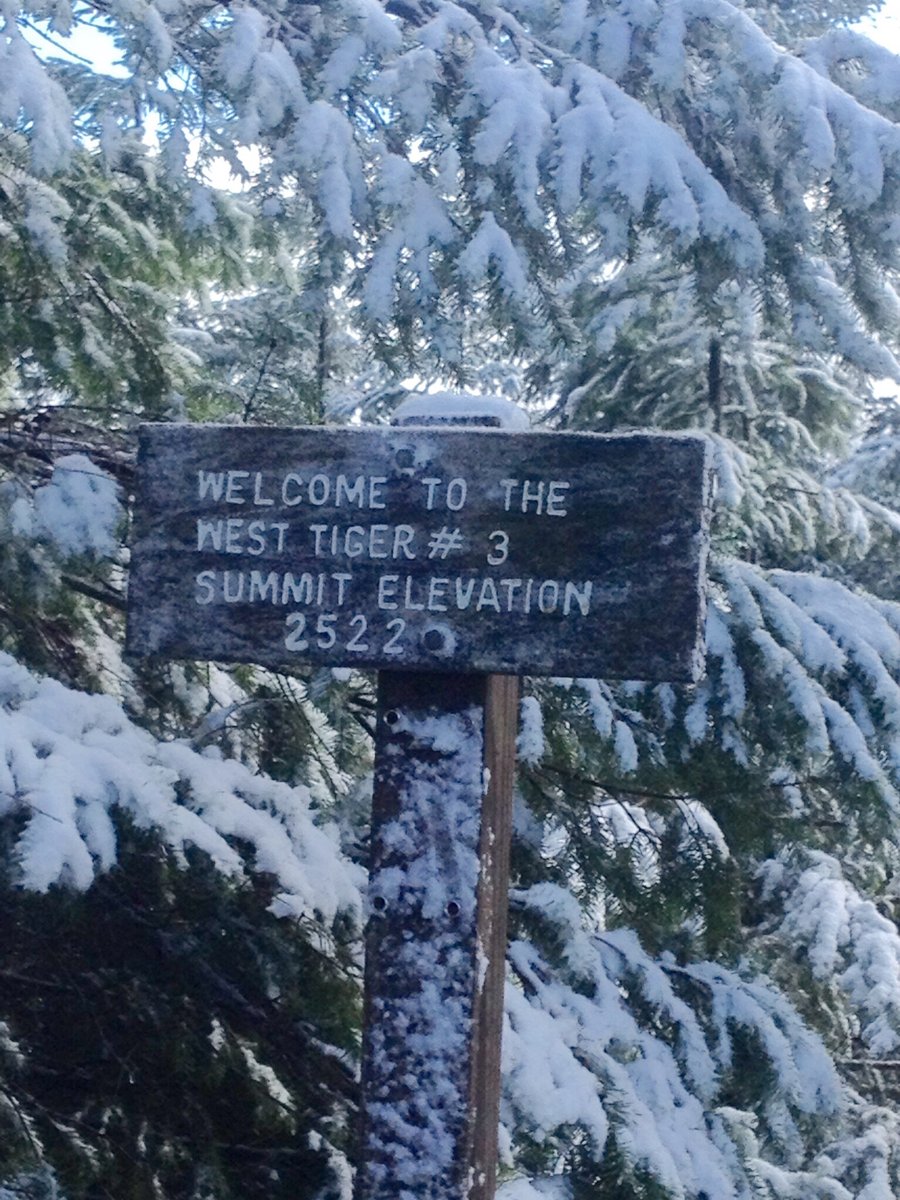
Section Line Trail to Summit 3 than Tiger RR Grade to High School Trail. Exited via HS trail.
February 19, 2016 Tiger Mountain 7.06 miles 3,000 feet gained
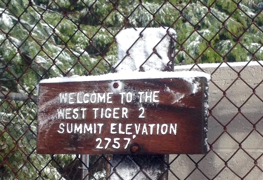
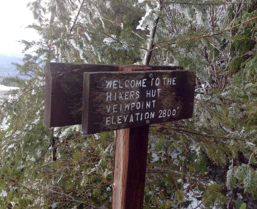
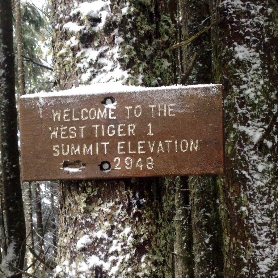
Cable Line Trail to Tiger Mtn 3. Then hiked to summit 2, the Hikers Hut Viewpoint (no views) & then up to summit 1. Exited @ the Highpoint TH. No traction devices needed.
February 7, 2016 Mount Si 7.34 miles 3,750 feet gained
Hiked the old trail. To much ice & snow for me to comfortably climb the haystack.
January 24, 2016 Deep Creek Trail 9.05 miles 2,250 feet gained
Hiked a bit past Little Ranger Peak. Was going to try to get up the the Boy Scout Shelter but the post holing was getting to deep for the dog. Did not see one single person the entire hike.
January 9, 2016 West Tiger Mountain 9.32 miles 3,500 feet gained
Chirico Trail to Poo Poo Point. Then took various trails up to West Tiger 1 summit & the view point @ the Hikers Hut.
January 3, 2016 Chambers Creek Reservoir 4 miles 1,000 feet gained
January 1, 2016 5.77 miles 2,000 feet gained
Family New Years Day hike with several hundred other people. Trail is way to crowded for my taste but views are pretty nice.