Allison

38 trips 397.8 miles logged 5 nights out in 2014 Subscribe to updates

Hikes by Allison in 2014

June 9, 2014

8.5 miles / 3,250 feet gained

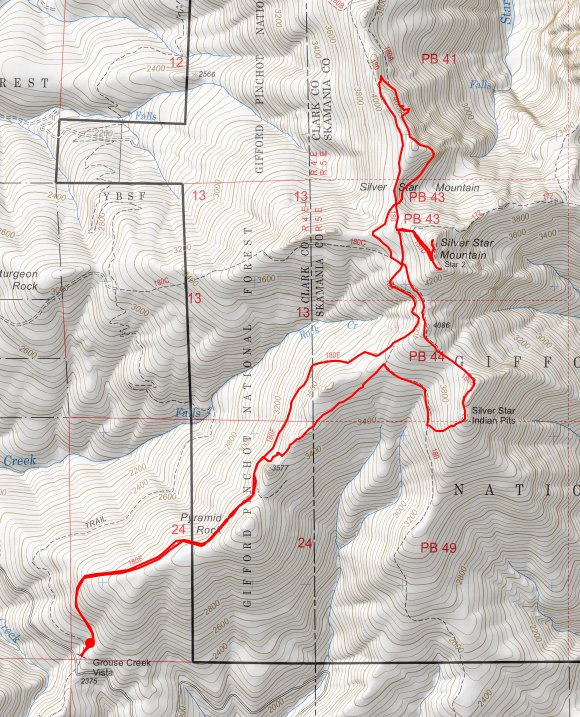
Late start at Grouse Vista, up to Silver Star summit, then Star 2, then down the north jeep road to make an Ed's mini loop to see the arch and scramble up the rocks, cut over to the Indian Pits via Sturgeon Rock / campsite trail, bushwhacked down the Indian Pits ridge to connect to the lower jeep track, which we followed back up to the Grouse Vista ridgeline...
June 7, 2014

7.5 miles / 1,750 feet gained

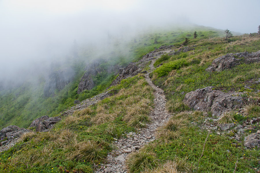
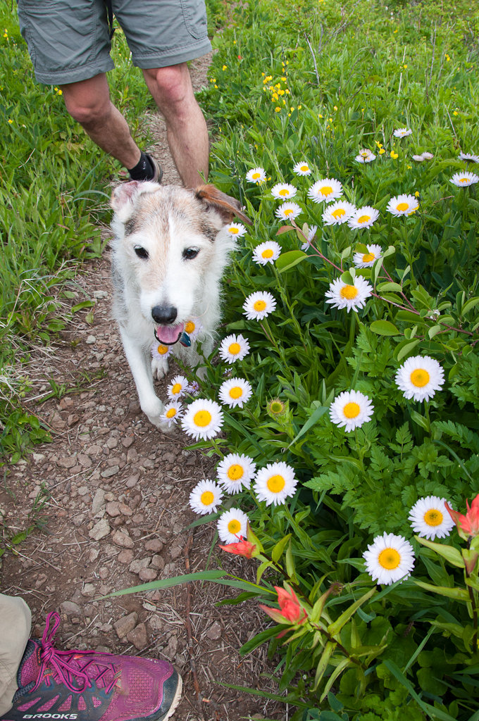
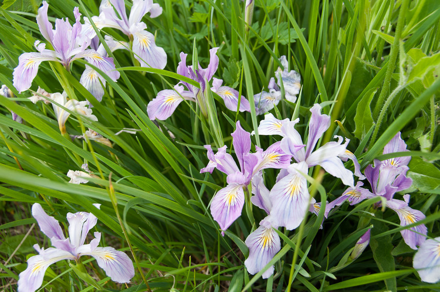
Early flower show is looking really nice on Silver Star. Lots of paintbrush, wood violet, avalanche lily, bistort, spirea, etc. The peak will be in two weeks or so. The beargrass is almost non-existent.

May 31 to June 4, 2014

35 miles / 11,000 feet gained / 4 nights

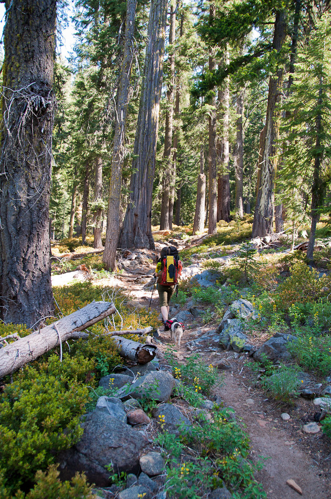
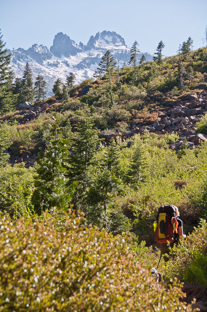
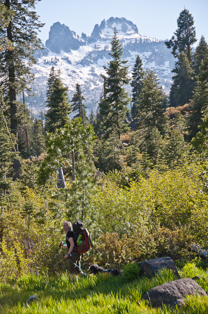
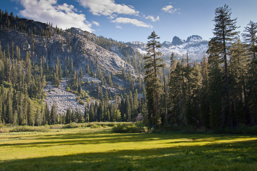
A glorious 5-day trip through the high alpine areas of the Red Trinities. It's been a very low snow year, so all of the high country is accessible. We went in via Swift Creek, spending nights at Granite Lake (buggy), Summit Lake (x2), and along Swift Creek. Highlights included nice flowers, two bears at Diamond Lake (mom and cub), great weather, solitude, ex...
April 26, 2014

9.5 miles / 2,750 feet gained

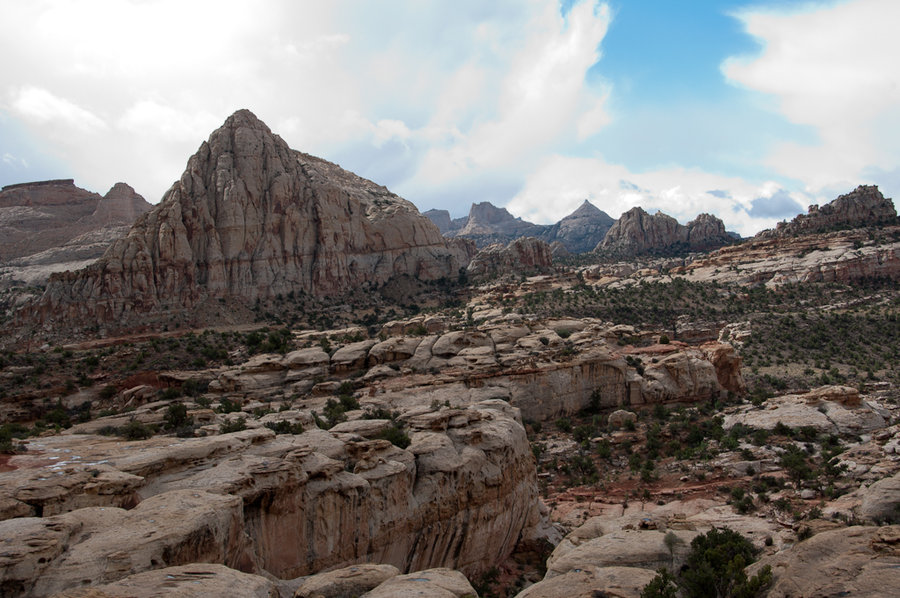
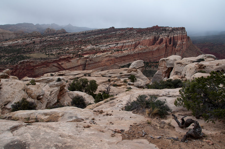
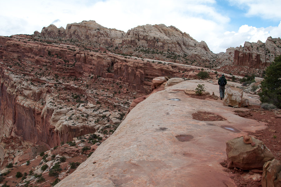
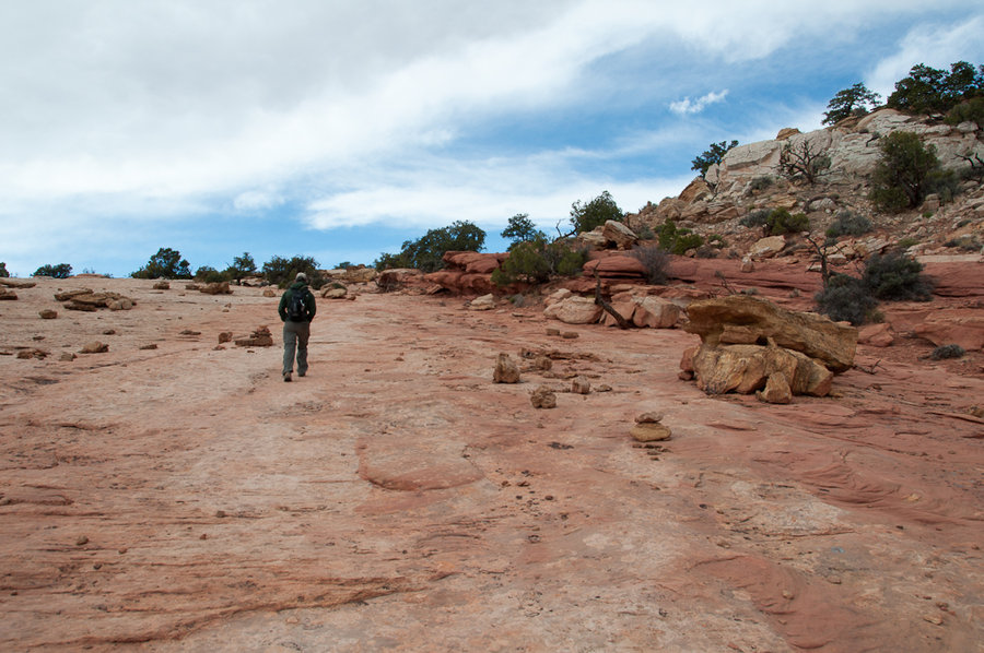
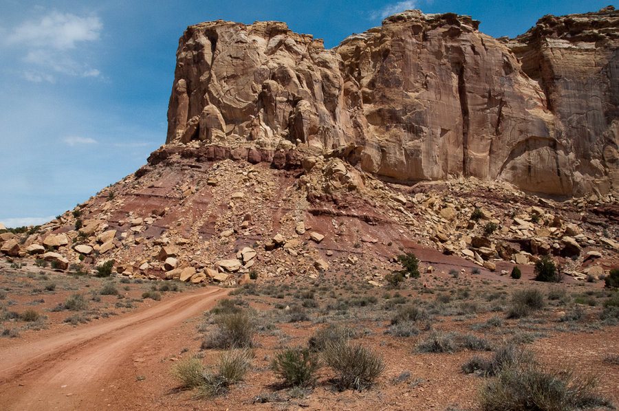
Super fun slab hiking to two sandstone knobs that provide 360-views of the park and beyond. We were racing a rain/snow storm the entire hike and it was very blustery. Beautiful!

April 24, 2014

7 miles / 1,750 feet gained

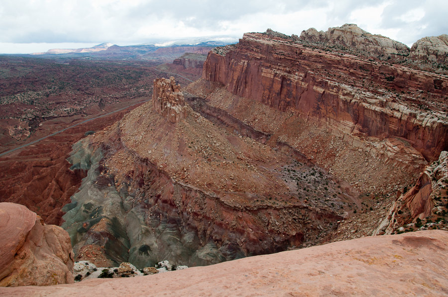
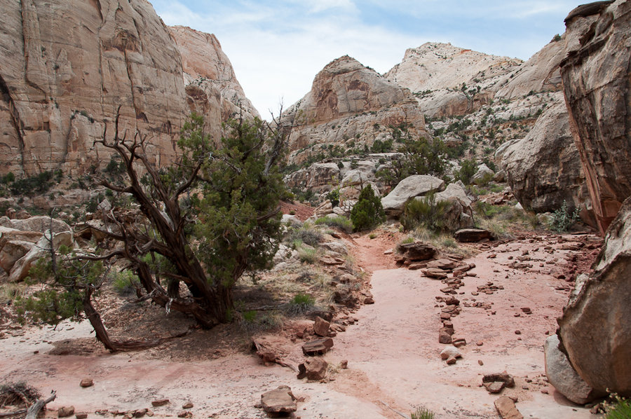
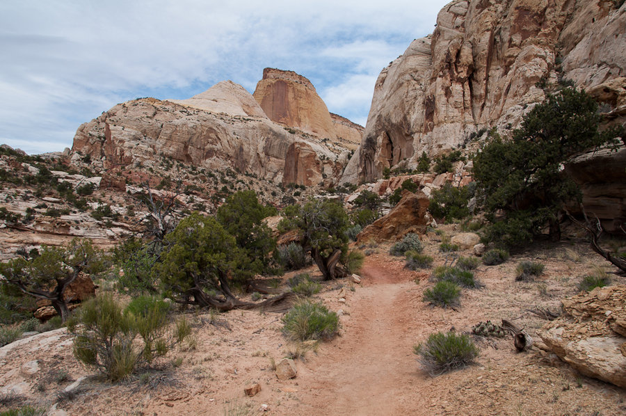
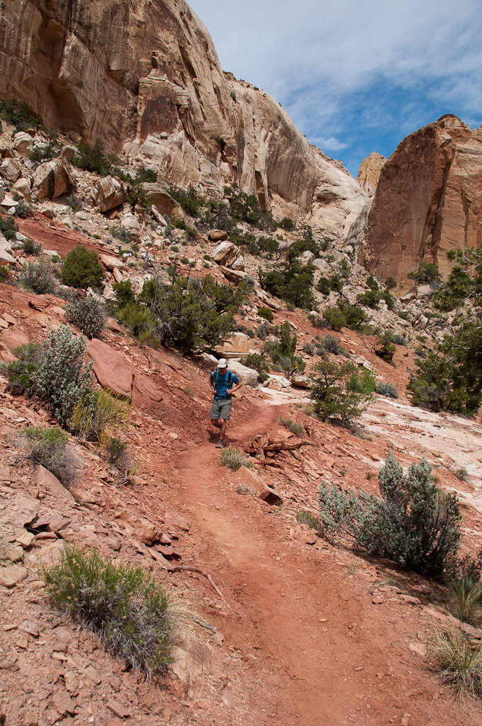
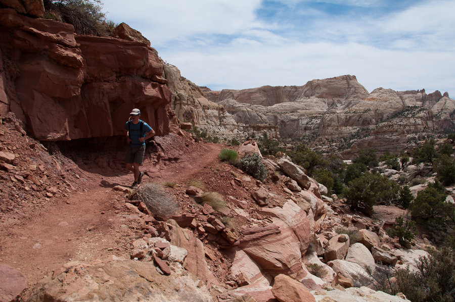
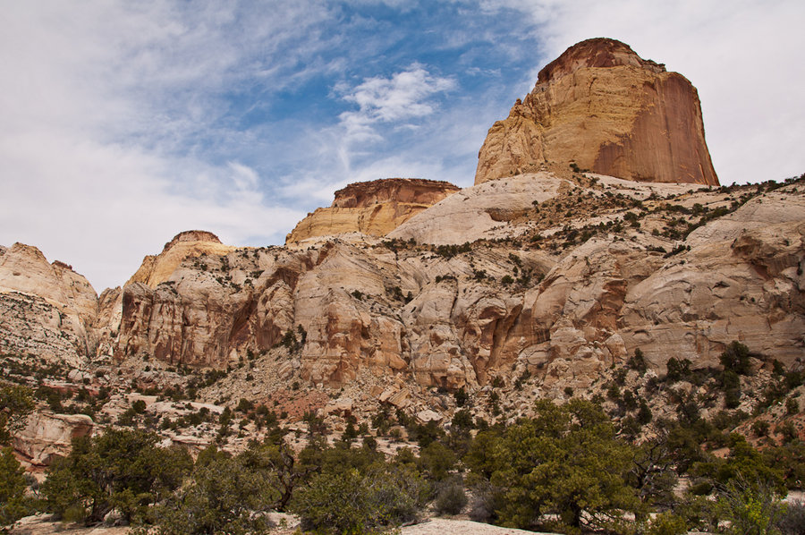
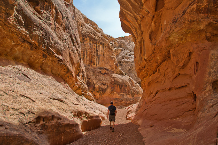
A quick jaunt up to see the Golden Throne and then over to see The Tanks, some water-filled potholes, in Capitol Reef National Park. The hiking is fun all throughout the Capitol Reef!

April 22 to April 23, 2014

26 miles / 1,000 feet gained / 1 night

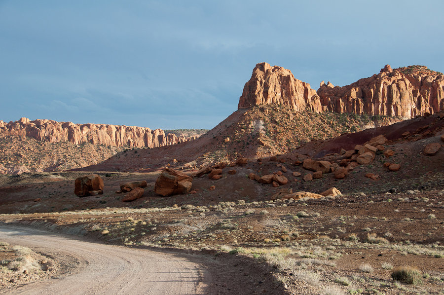
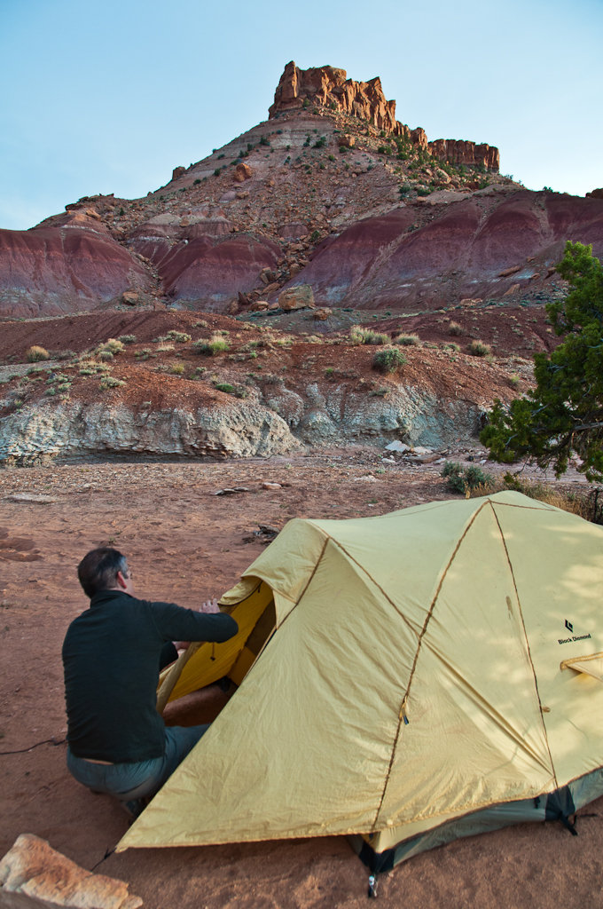
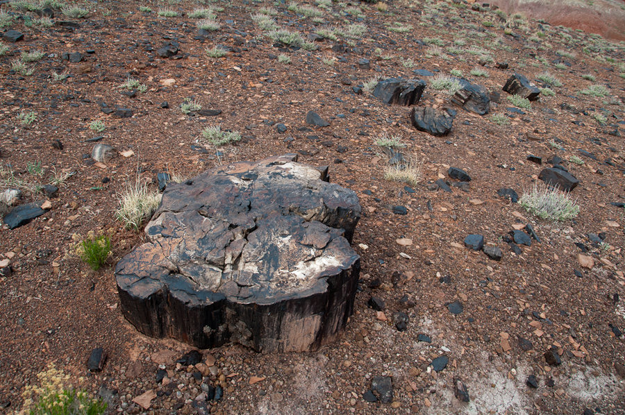
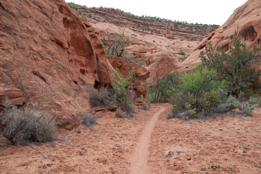
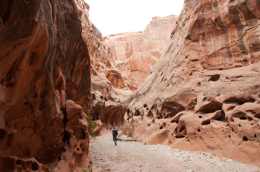
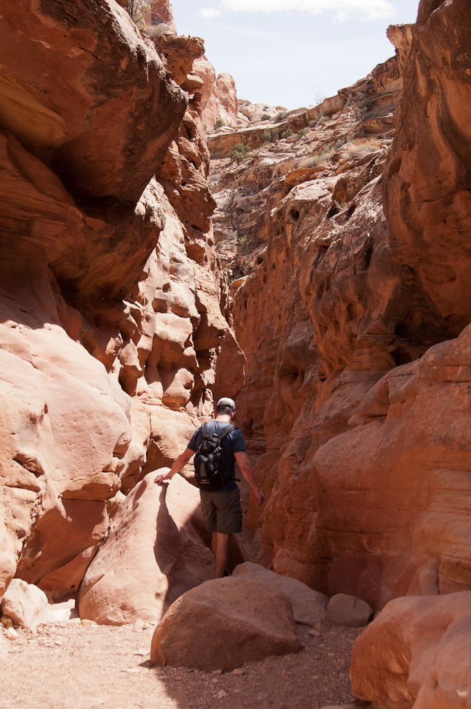
We were dispersed car camping on BLM land about a mile from the Little Death Canyon trailhead, so we did this backpacking loop from there. It's all cross-country travel, down the Little Death Canyon drainage to Horse Canyon, up Horse Canyon to Wolverine Canyon, up Wolverine Canyon (and its various drainages) back to camp. The geology in this area is stunning...
April 21, 2014

2 miles / 0 feet gained

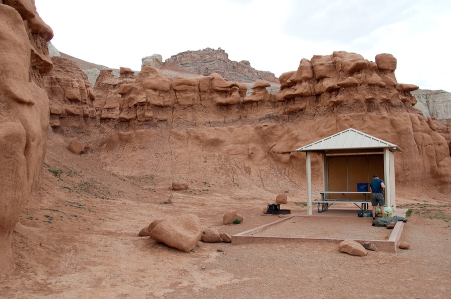
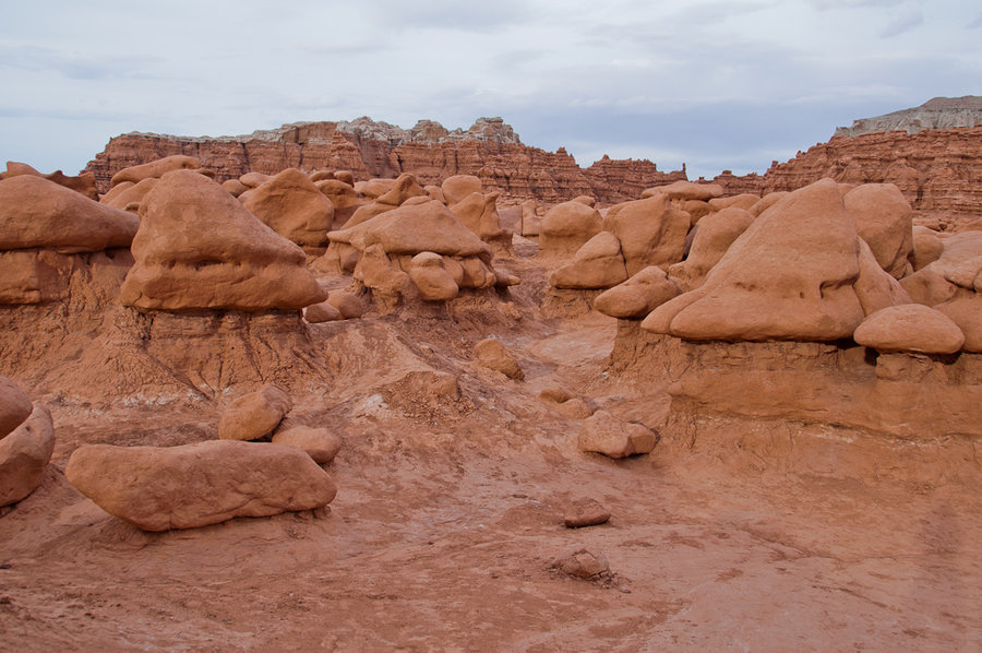
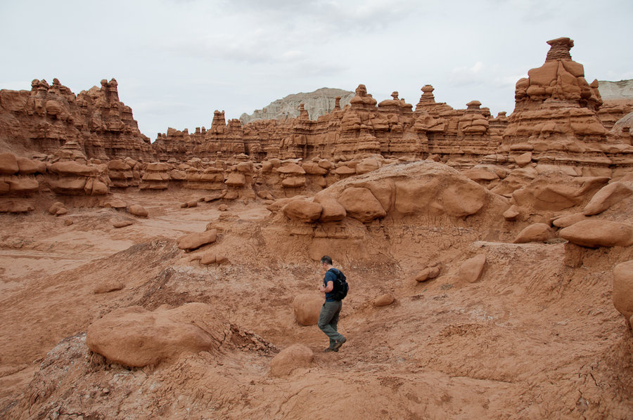
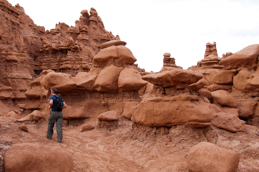
We stayed the night at the Goblin Valley State Park, which was a very cool experience. Quiet, desolate area. After we set up camp and had some dinner, we walked around the Goblin Rocks for an hour or so and watched the sun set. This area got some attention a few months back after a few Boy Scout troop members toppled one of the goblins and posted the video o...
April 21, 2014

6 miles / 500 feet gained

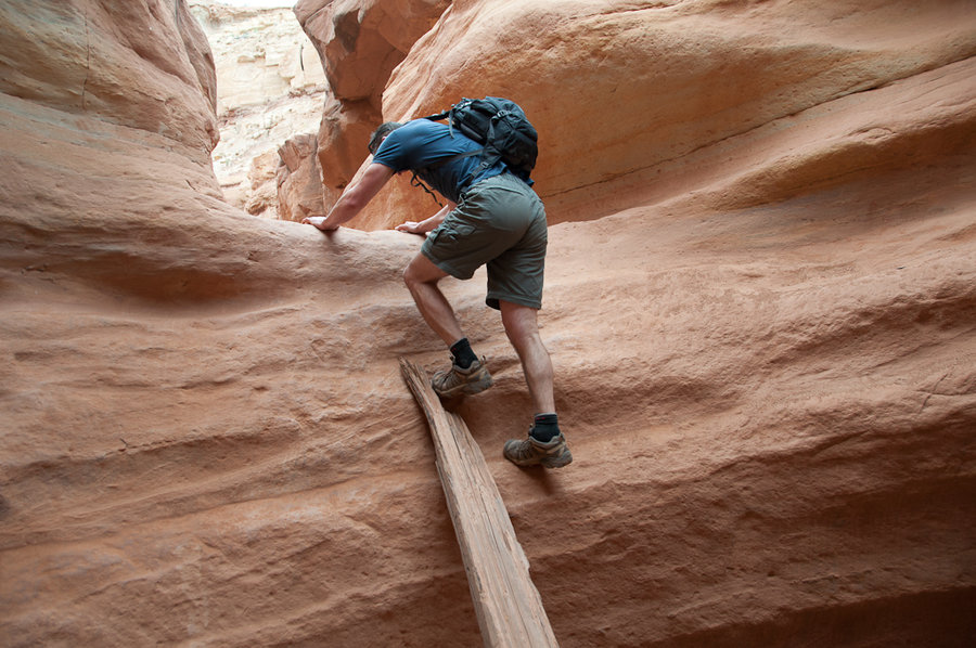
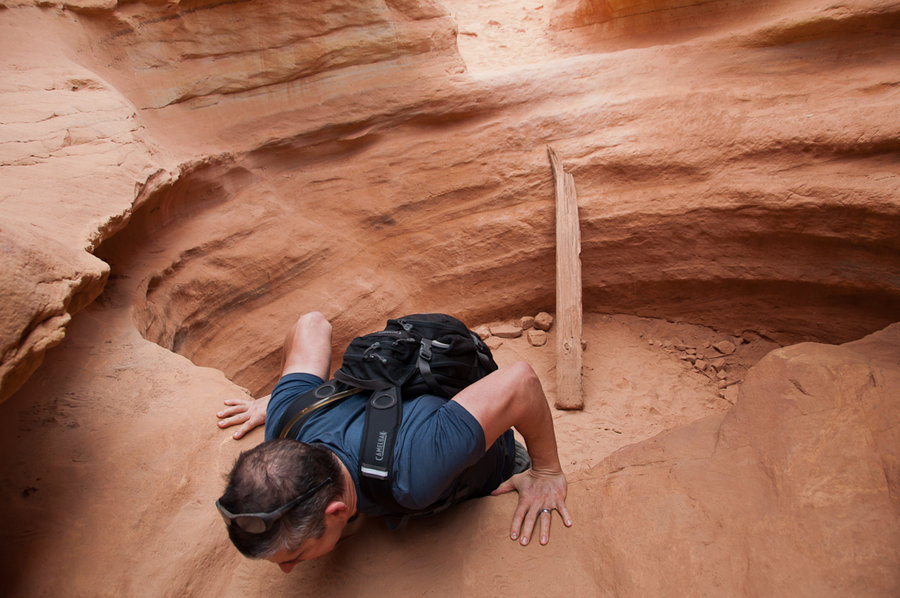
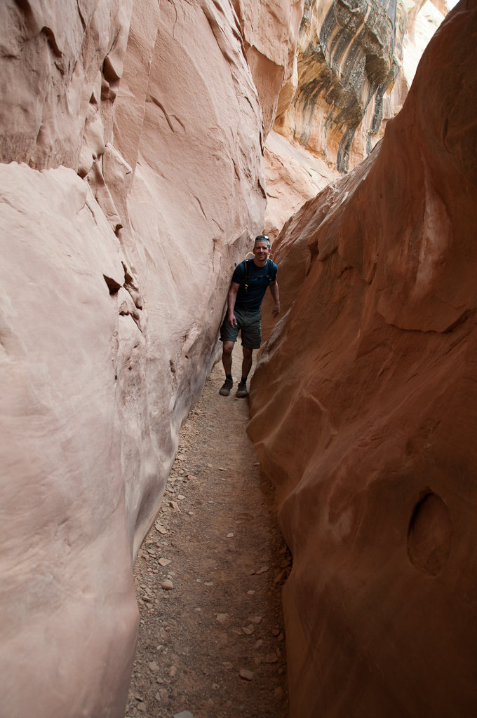
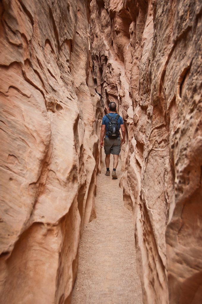
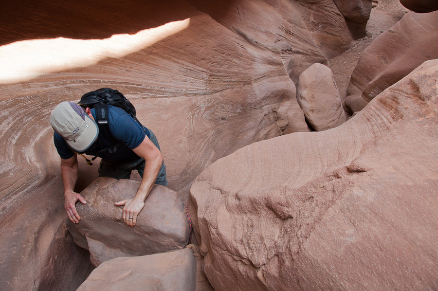
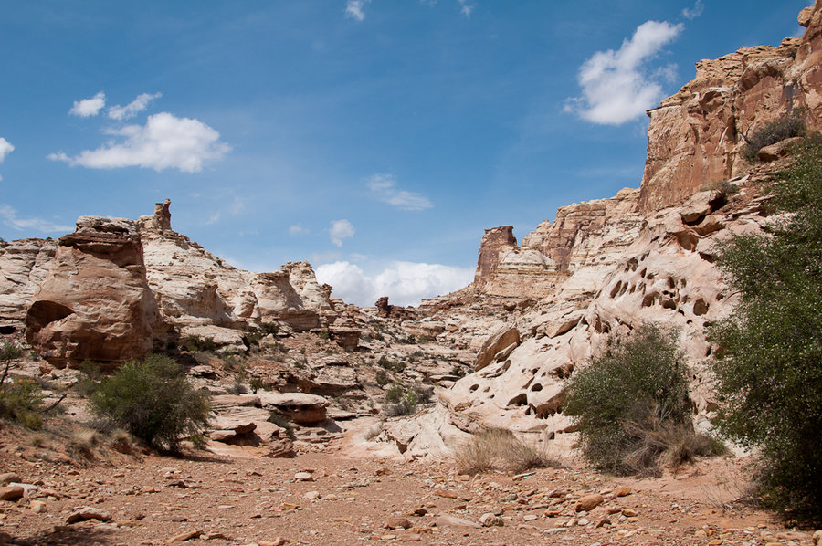
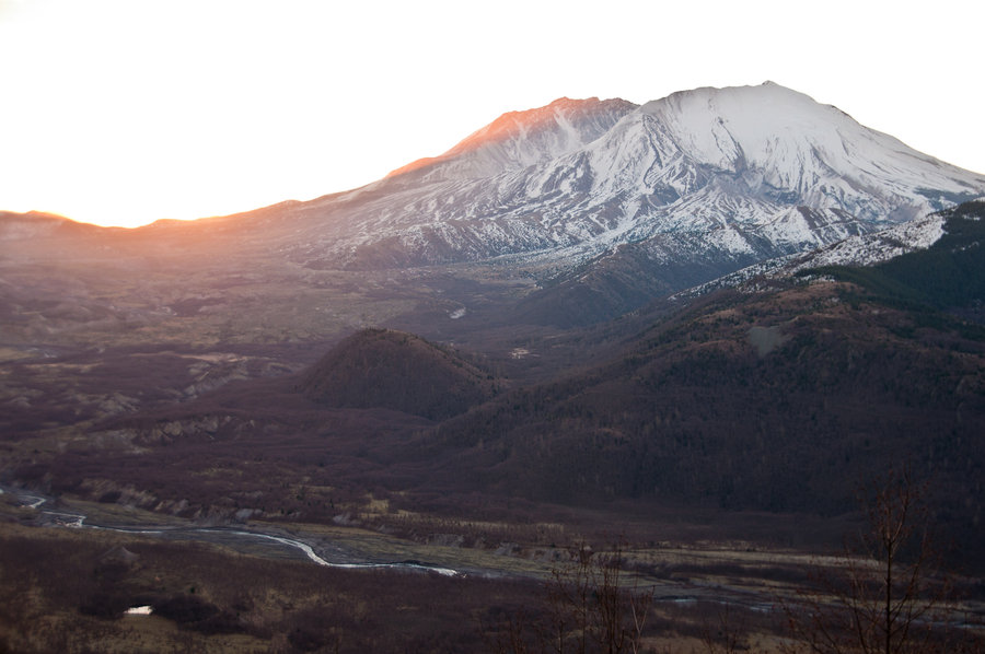
Hike 1 of the Utah Hiking Week! Crack Canyon - three sections of slots, some fun little boulder problems, beautiful canyon walls.

April 15, 2014

14 miles / 3,500 feet gained

This loop never gets old. Ok, it may be getting a little old. I might head up there one more time to check on some stuff later this month. But here's the flower low-down: balsamroot: gangbusters on the top of Coyote Wall and in small pockets throughout the Labrynth camas: everywhere on Catherine Creek syncline, stunning! lupine: another week or two desert pa...
April 11, 2014

16.8 miles / 4,750 feet gained

What a fine day to climb up Ruckel Ridge to "the Platter" (source: Pablo), skirt along the Benson Way to the PCT, and drop down to the 400 to finish the loop. Lots of calypso orchids and glacier lilies on Ruckel Ridge. One or two chocolate lilies. The only snow was a quarter-mile section along the Benson Plateau, otherwise it's green and springlike up there....
April 8, 2014

12 miles / 3,750 feet gained

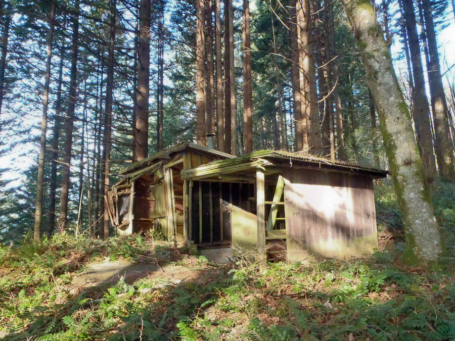
Loaded up the backpacks with bear canisters filled with brown rice for a training circuit up to Phlox Point and Hamilton Mountain. Used the XC "short-cut" north of the powerlines to make the loop from the Hamilton Mountain TH. Phlox Point had enough glacier lilies to elicit some cooing and we found a treasure trove of calypso orchids down lower near the cabi...

April 6, 2014

8 miles / 1,000 feet gained

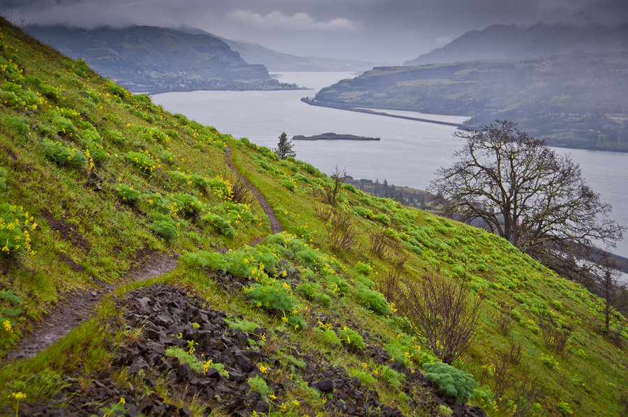
T'was misty and beautiful on this Sunday afternoon hike.

April 4, 2014

11 miles / 2,500 feet gained

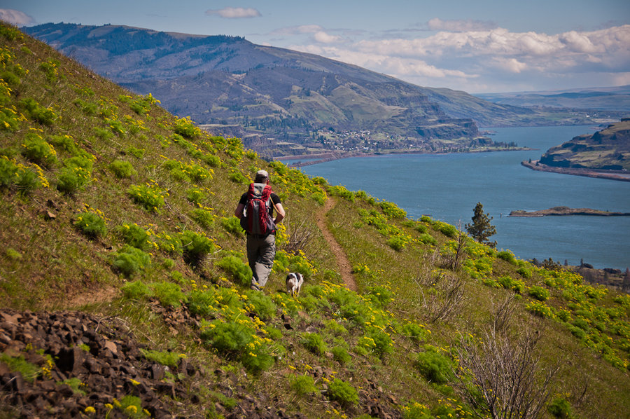
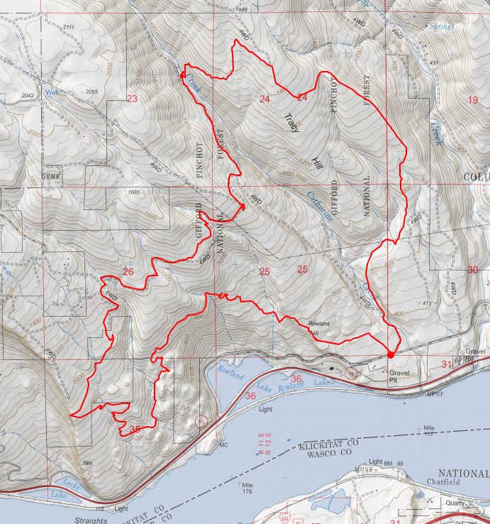
Up Tracy Hill, dry-footed crossing of Catherine Creek, traverse along Atwood Road to Coyote Wall, down Little Maui, up Hidden Valley, past the Indian Pits, and back around. A glorious day of sunshine, rainbows, and desert parsley.

April 1, 2014

10 miles / 2,750 feet gained

Up and then down on switchbacks fun for mtbers, not hikers, and then up, up, and up past private property to the top of Coyote Wall, then down, down, down Coyote Wall, then down Little Maui, up Hidden Valley, then Indian Pits, then up and over the Catherine Creek syncline, then a bunch of off-trail wandering on that big flank-o-hill west of Catherine Creek. ...

March 23, 2014

6.5 miles / 1,000 feet gained

Glorious spring day! So many people on the Wildwood! So many "good mornings!" and "hellos!". So awesome that we have this incredible place in our city.

March 22, 2014

15 miles / 500 feet gained

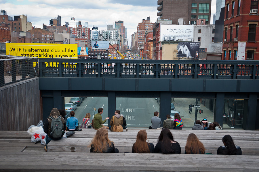
Extreme urban hiking. I explored the canyons of Midtown, the rolling hills and meadows of Brooklyn's Prospect Park, and the vast wildness of Central Park. The best stretch was the Highline, in Chelsea's Meatpacking District. This is an incredible piece of public infrastructure! I've seen photos and presentations about it, but the attention to design detail a...

March 14, 2014

5 miles / 750 feet gained

A quick hike between rain squalls. Hoping for a rainbow or two, but just got some good light and a nice hike.

March 12, 2014

5 miles / 0 feet gained

Sunny, warm romp through the Sandy River Delta. Very little mud! Great views of the mountain(s). The Sandy and the Columbia are quite full.

March 8, 2014

12 miles / 4,250 feet gained

A pretty wet day. No photos. No snow until the north ridge of Table Mountain, where a few feet mingle with the slide alder to create a post-hole hell tunnel to the powerline jeep track. I'm taking loppers next time through. There is about 6 inches of snow on the PCT for about 3/4 of a mile from the jeep track.

March 2, 2014

9 miles / 1,500 feet gained

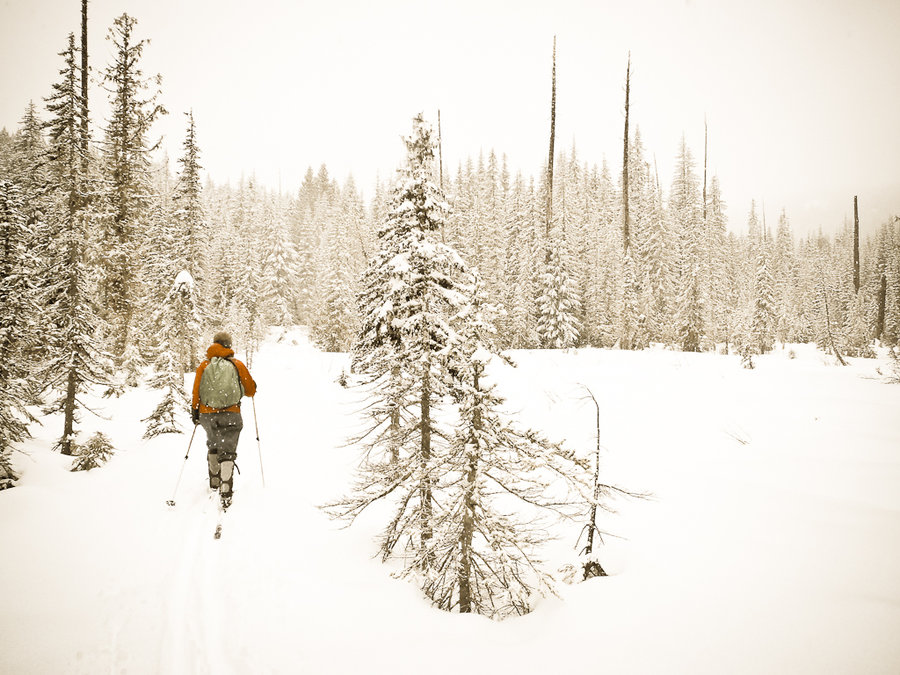
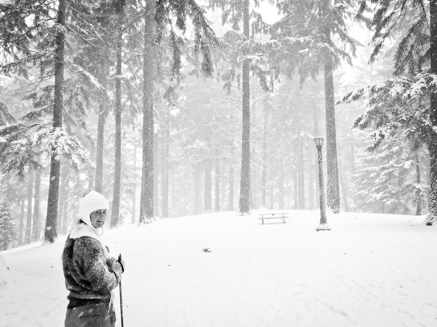
What a weird weather day: low 30s and freezing rain in Portland, 31 and a total ice palace in Troutdale, 37 degrees in Sandy, 35 at Government Camp, 41 degrees at the Frog Lake Sno-Park. The forecast called for snow then rain, but it was reversed. It was raining when we started and snowed throughout the tour. Big, white, hamster-sized flakes. Met A LOT (abou...

February 28, 2014

8.5 miles / 2,750 feet gained

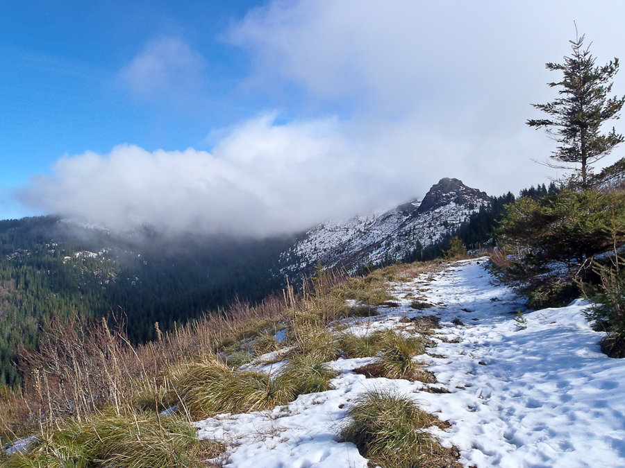
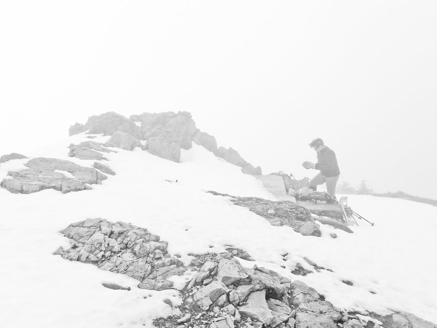
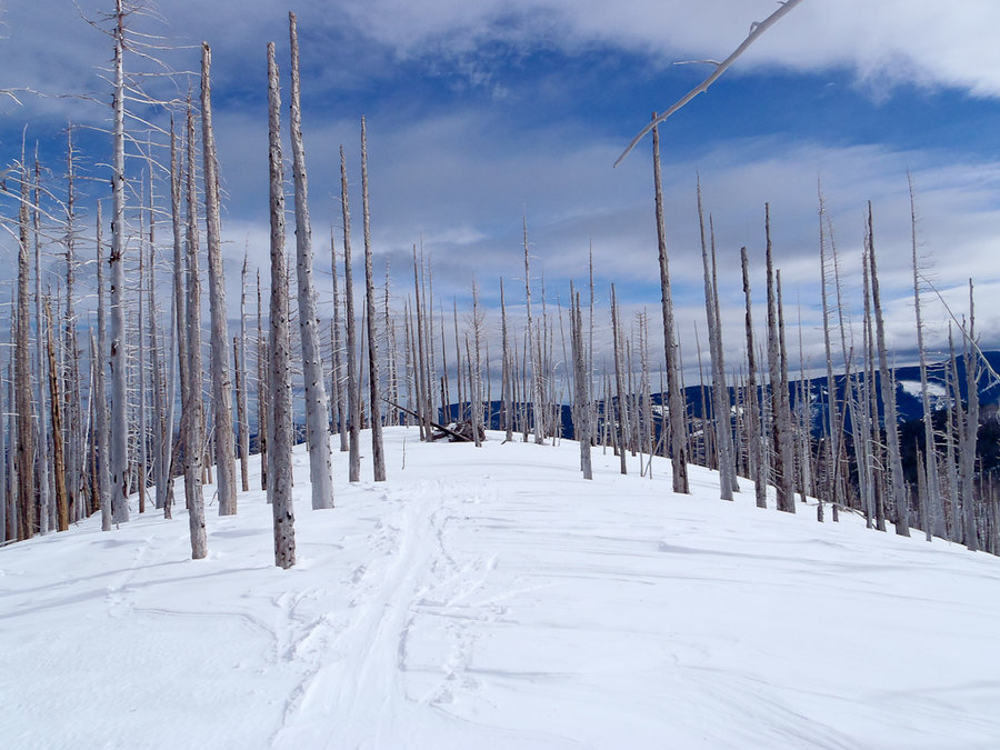
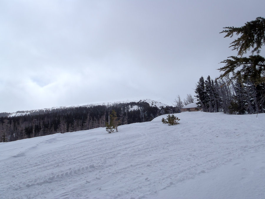
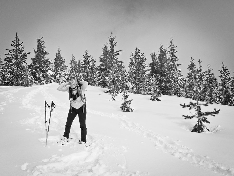
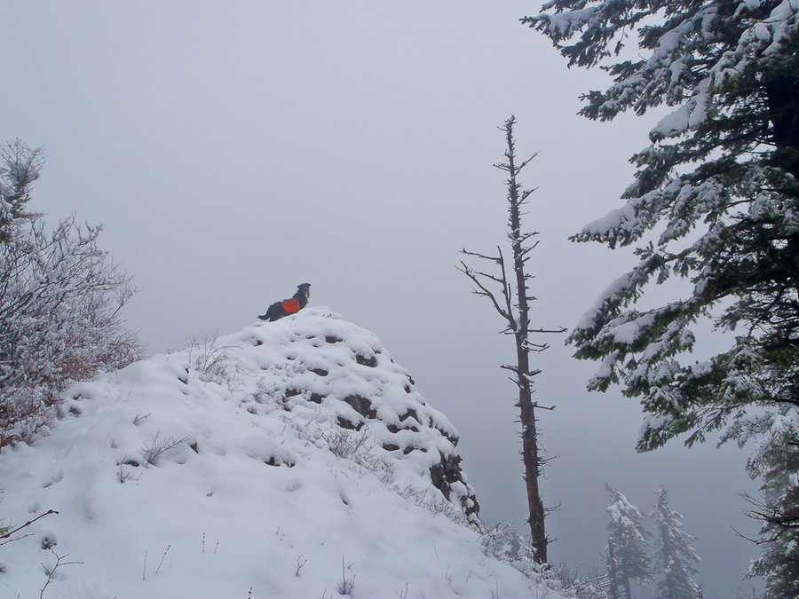
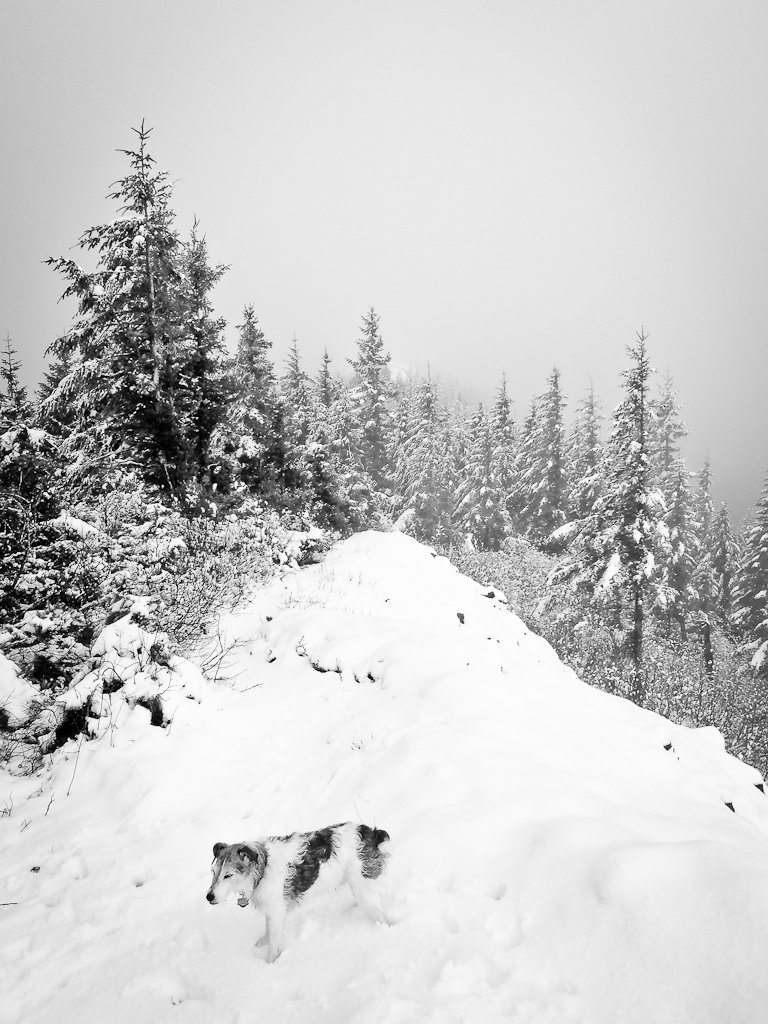
Silver Star was making its own weather, so we went up to check it out. No snow on the road to the trailhead. Snow coverage starts around Mile 1; we switched to snowshoes around Mile 2. Made a loop of it by returning the Sturgeon Rock / Tarbell Trail. A great hike!

February 22, 2014

9 miles / 2,500 feet gained

Finally, some snow! Started in the Cooper Spur Ski Area lot because all of the spaces below were filled at 9AM. Skinned up the cut-off trail to the Polallie Ridge trail, over to Cloud Cap, and then straight down the best lines to the last dog leg of Cloud Cap Road. The weather was a mixed bag: sun, clouds, wind, very light snow, low 40s.

February 8, 2014

7 miles / 750 feet gained

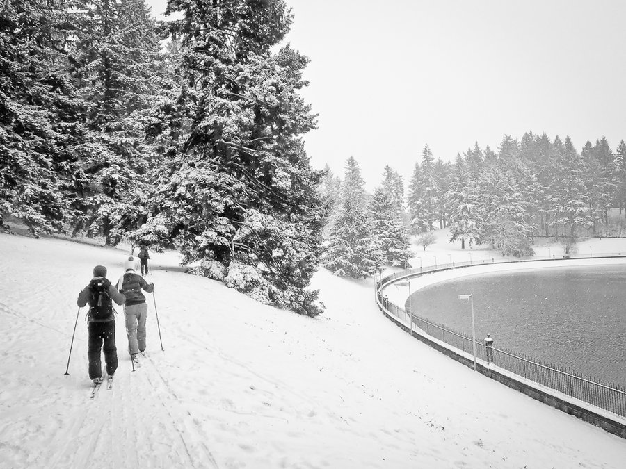
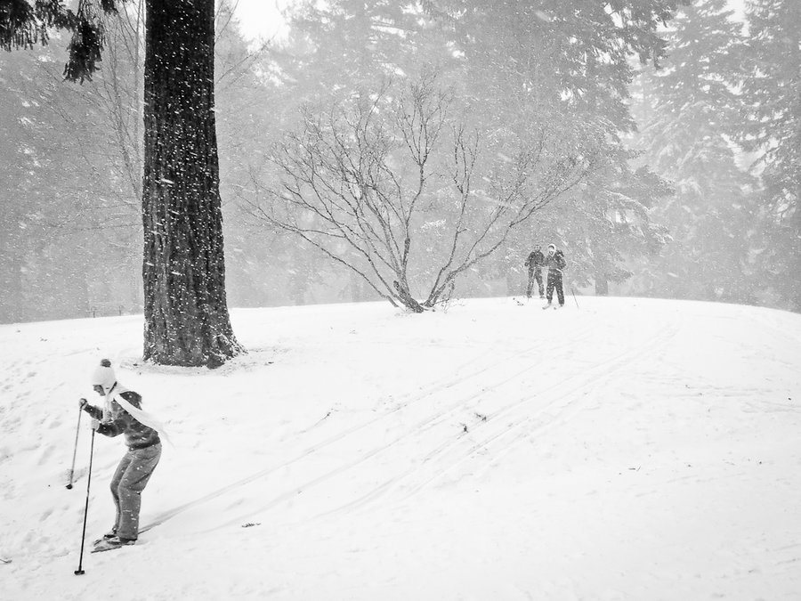
I walk this route at least once a week, but don't add the mileage here because it's a "city hike" and not a true hike. But I was able to ski the whole route thanks to "Winter Blast 2014" so I thought it qualifies because of its unusual condition. The trees on Tabor were flocked with new snow and the east winds were ripping over the summit, pummeling us with ...

February 2, 2014

6.5 miles / 1,500 feet gained

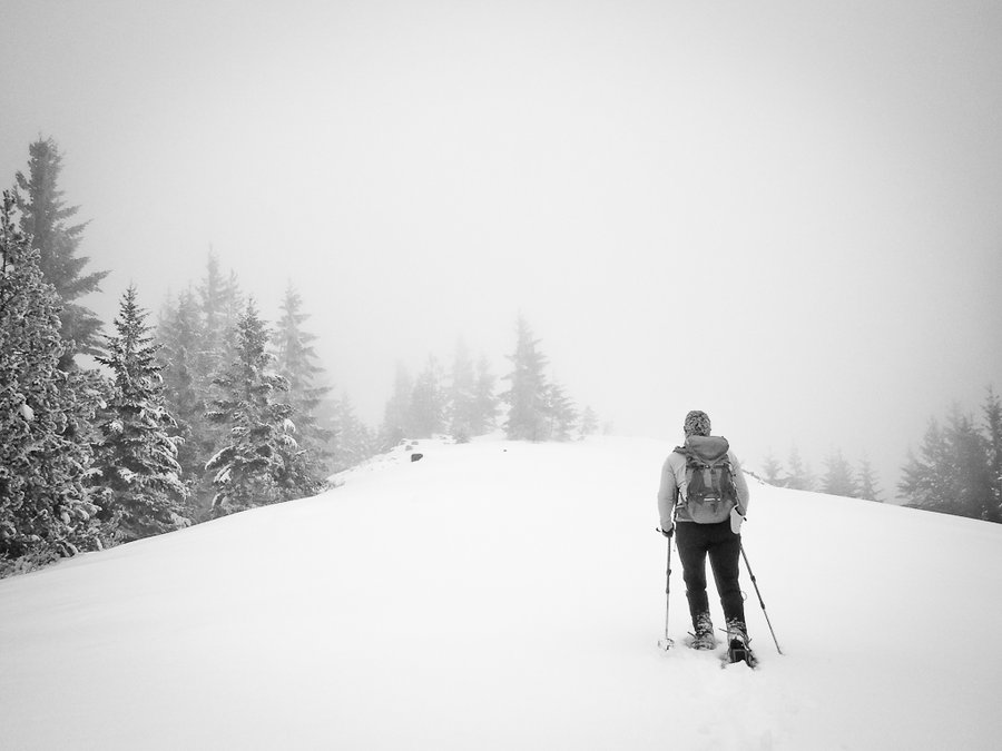
A socked in Super Bowl snowshoe Sunday on Mt. Hood, still better than sitting around and eating fake cheese all afternoon. Started at the Barlow Pass Sno-Park and headed south on the PCT. Cut up at the high point to Tri-Country Ridge (Ghost Ridge) for some stunning non-views of Mt. Hood and Mt. Jefferson. Continued south along the ridgeline to (literally) th...

February 1, 2014

11 miles / 3,500 feet gained

My new favorite route through Beacon Rock State Park. Started at the Hamilton TH, cut through the campground to Little Beacon Rock, and then XC at the powerlines to the cabin and up through wet Oregon Grape to meet the road near its intersection with the Hardy Ridge trail. Up and over Hardy Ridge (6" of snow and settled thickly in a cloud - snow started arou...

January 26, 2014

16 miles / 3,750 feet gained

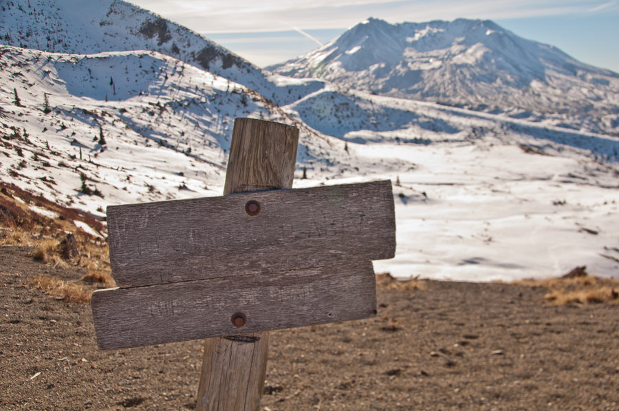
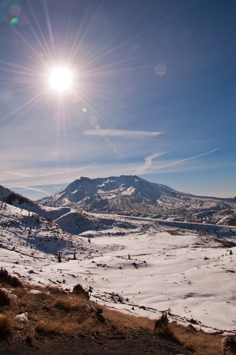
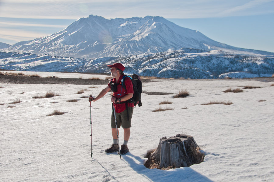
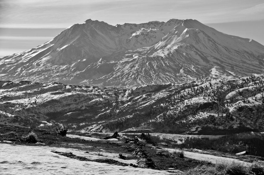
A glorious circuit over mixed terrain (mostly snow/ice above 4,000') from the Hummocks, past Coldwater Lake, under the brow of Coldwater Peak, up to the saddle for a look-see at St. Helens Lake and Large Marge, down to scare some elk to the Boundary Trail, rambling along the JRO ridge back down to the Hummocks. It was a short sleeve and SPF 50 kind of day. C...

January 24, 2014

8 miles / 1,500 feet gained

Snuck in this hike after coming off Cedar Mountain and finding a text message that relieved me of my city duties. This is the first time I've done the whole loop. The lower section is vastly more interesting than the upper section, especially with the 100 MPH wind gusts. I was (literally) blown away.

January 24, 2014

9 miles / 2,500 feet gained

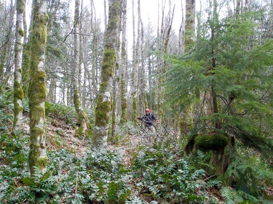
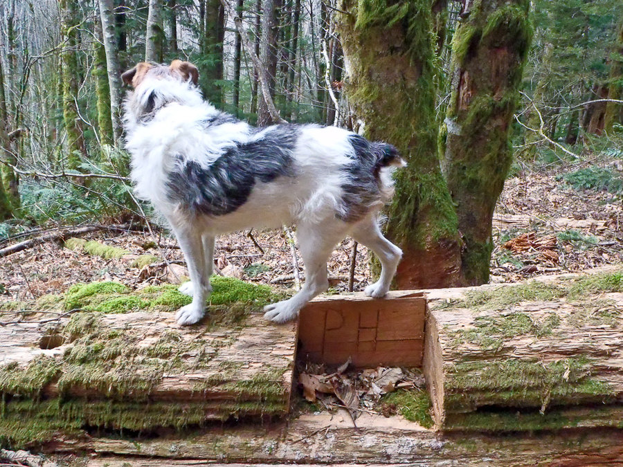
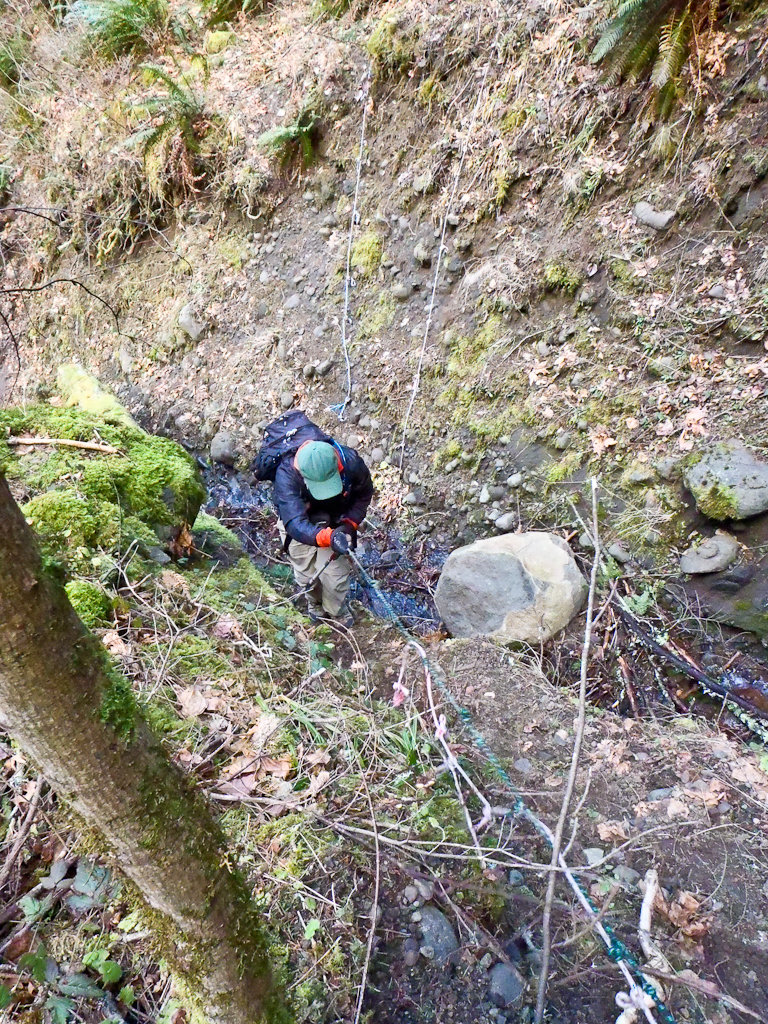
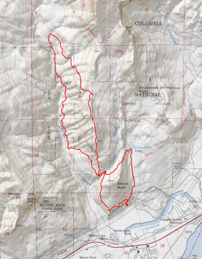
Checking out some of Don Nelsen's "trails" in the Table Mountain complex. Started at Aldrich Butte, and went clockwise to Cedar Mountain, up and over to the saddle, and then down to Hamilton Creek on a nice connector trail. Back to Aldrich Butte clockwise, making a miss-shapen figure eight around Cedar Mountain and Aldrich Butte.

January 21, 2014

10.5 miles / 4,000 feet gained

A classic figure 8 loop: up Cedar Mountain to the PCT, up Westway Ridge to Table's summit, descend on Table's north ridge to the PCT for a return to the TH. Sunny in PDX, cloudy and VERY WINDY in the Gorge. Once we climbed above the inversion layer, it got warmer and calmer, giving us a front seat row to the crazy weather brewing in the eastern Gorge. Beauti...

January 20, 2014

5.5 miles / 0 feet gained

Leisurely afternoon hike along the Salmon River with out-of-town friends. Saw many hipsters.

January 18, 2014

5.5 miles / 750 feet gained

A short jaunt up Ramona Falls with some out-of-town friends.

January 16, 2014

5.5 miles / 1,750 feet gained

A short but incredibly great way to spend an inversion day on Mt. Hood. Snowshoed from the HRM lot, across Clark Creek (sketchy snow bridge), and then cross-country up the ridgeline, basically following the Wilderness boundary. This is like Gnarl Ridge but shorter and much narrower.

January 14, 2014

12 miles / 4,500 feet gained

Intended to hike to Table Mountain via Cedar Mountain. Instead, hiked to Cedar Falls and then got turned around and ended up hiking along Hamilton Creek for about three miles. Bushwhacked up to the PCT (overshot the Cedar Mountain / PCT junction) and headed south to the Heartbreak Ridge Trail to ascend Table. The sun came out as we summited and provided perf...

January 10, 2014

13 miles / 1,500 feet gained

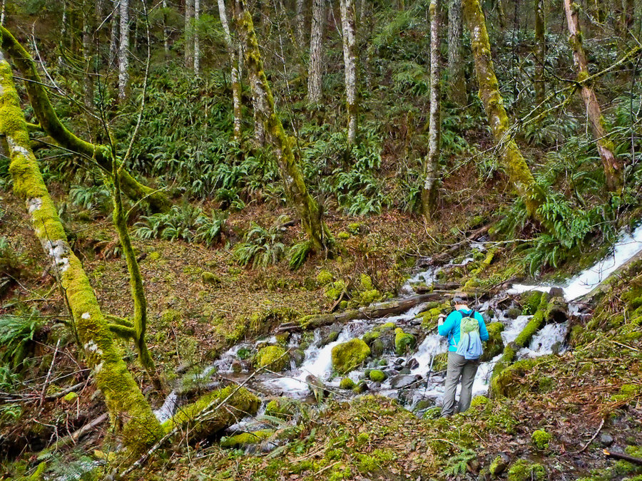
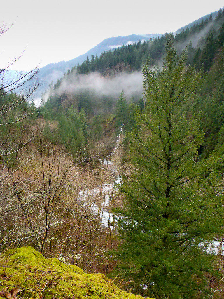
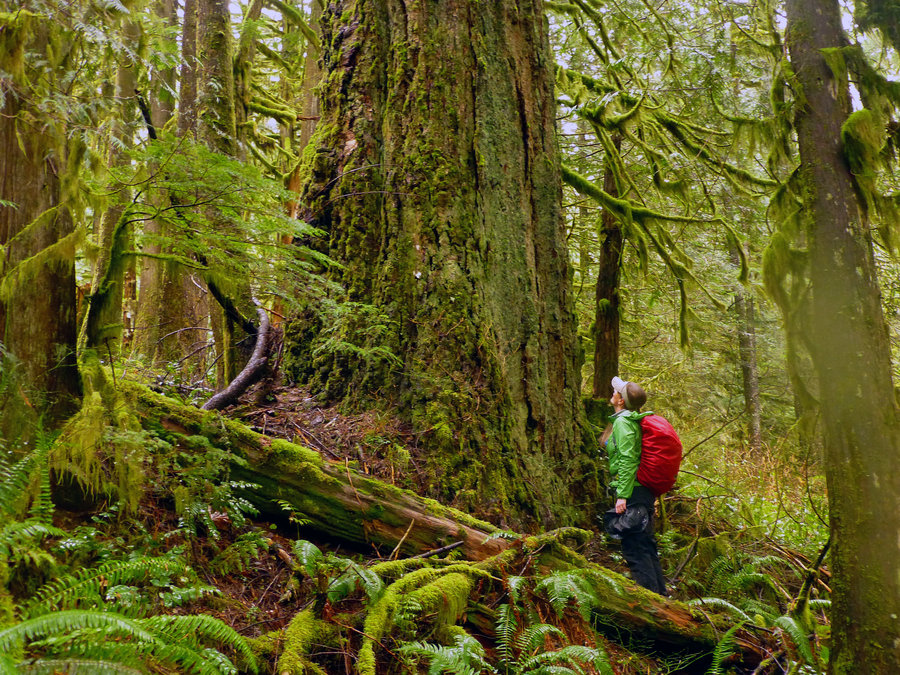
A nice ramble through primordial old growth in the mist. Photos stolen from Karl.

January 4, 2014

9 miles / 3,500 feet gained

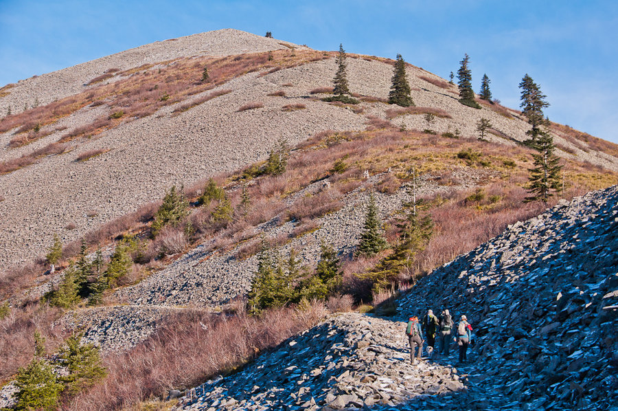
Birthday hike to the summit of Silver Star via the South Ridge (Indian Pits). Got a little turned around with all of the logging road options, but eventually found the old jeep track that ascends the ridge. Gained the ridgeline and waded through beargrass and talus to the top of the Indian Pits ridge before summiting Silver Star and having a little party. Gl...

January 1, 2014

14.5 miles / 4,250 feet gained

The perfect start to 2014 - sunny skies, warmish temps, and no snow or mud on the trails. Started at the Hamilton trailhead and wandered over to Little Beacon Rock before heading cross-country to the "cabin" and then up the ridgeline to gain the Hardy Ridge trail system. Climbed up the west side to Phlox Point (cold, windy, beautiful!) and descended on the e...