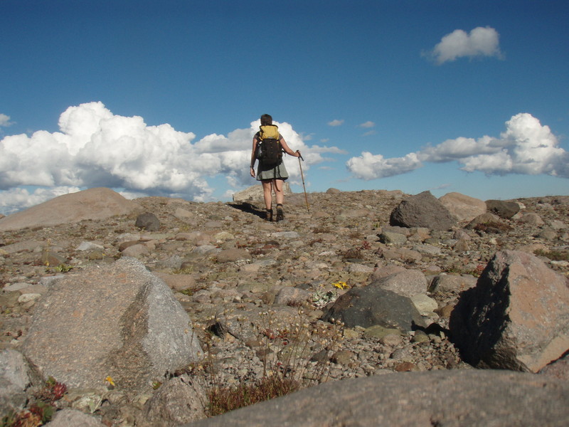
Jen

73 trips 524 miles logged 8 nights out in 2011 Subscribe to updates

Hikes by Jen in 2011

December 24, 2011

7 miles / 1,500 feet gained

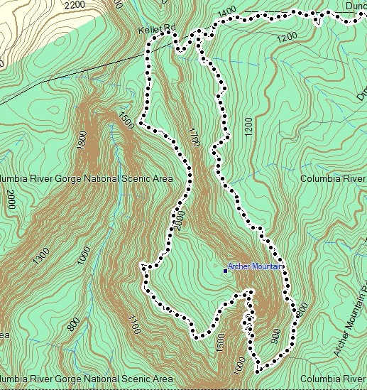
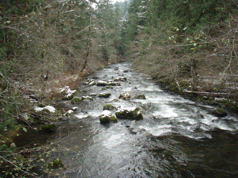
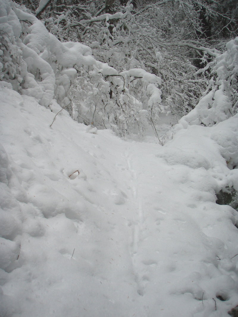
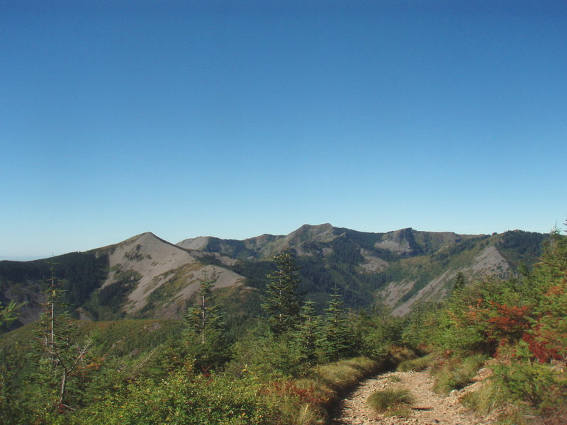
I had so much fun last week, I came back for more exploring. This time I tried to find the trail on the east side of the mountain from the powerline. I think I found it, lost it a few times, some wonderful old growth. Headed south and went around the south ramparts crossing several scree fields, then back up between two viewpoints on a very well defined trai...
December 17, 2011

7 miles / 1,000 feet gained

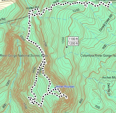
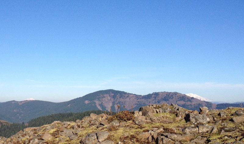
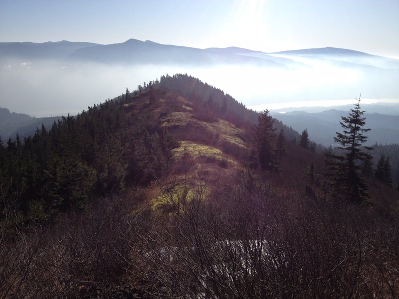
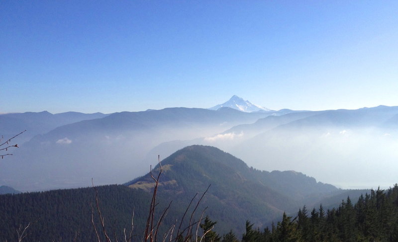
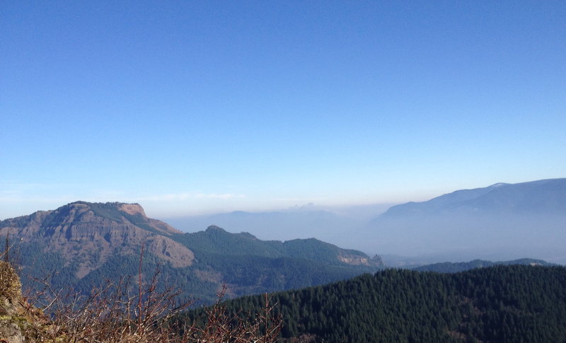
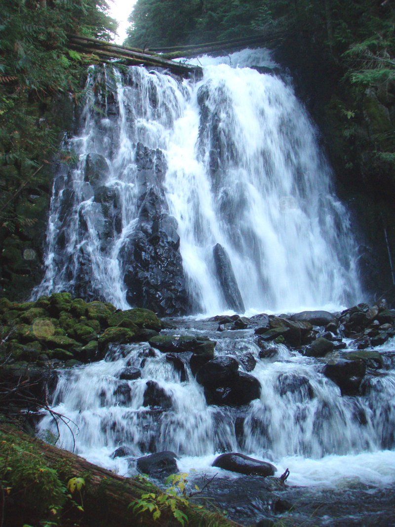
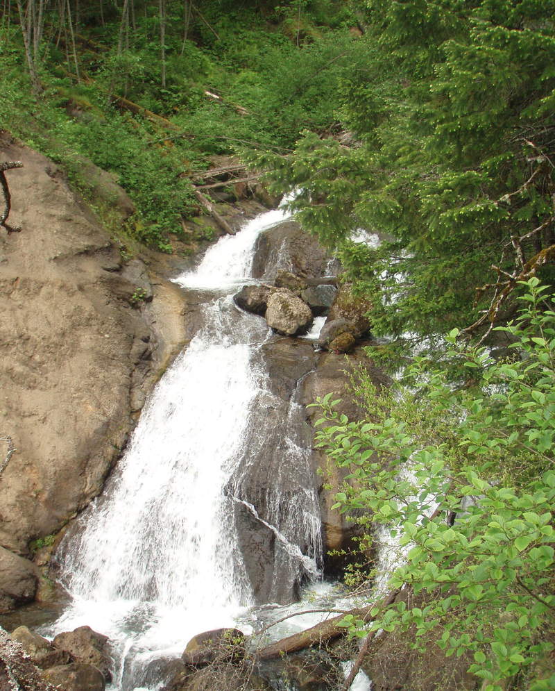
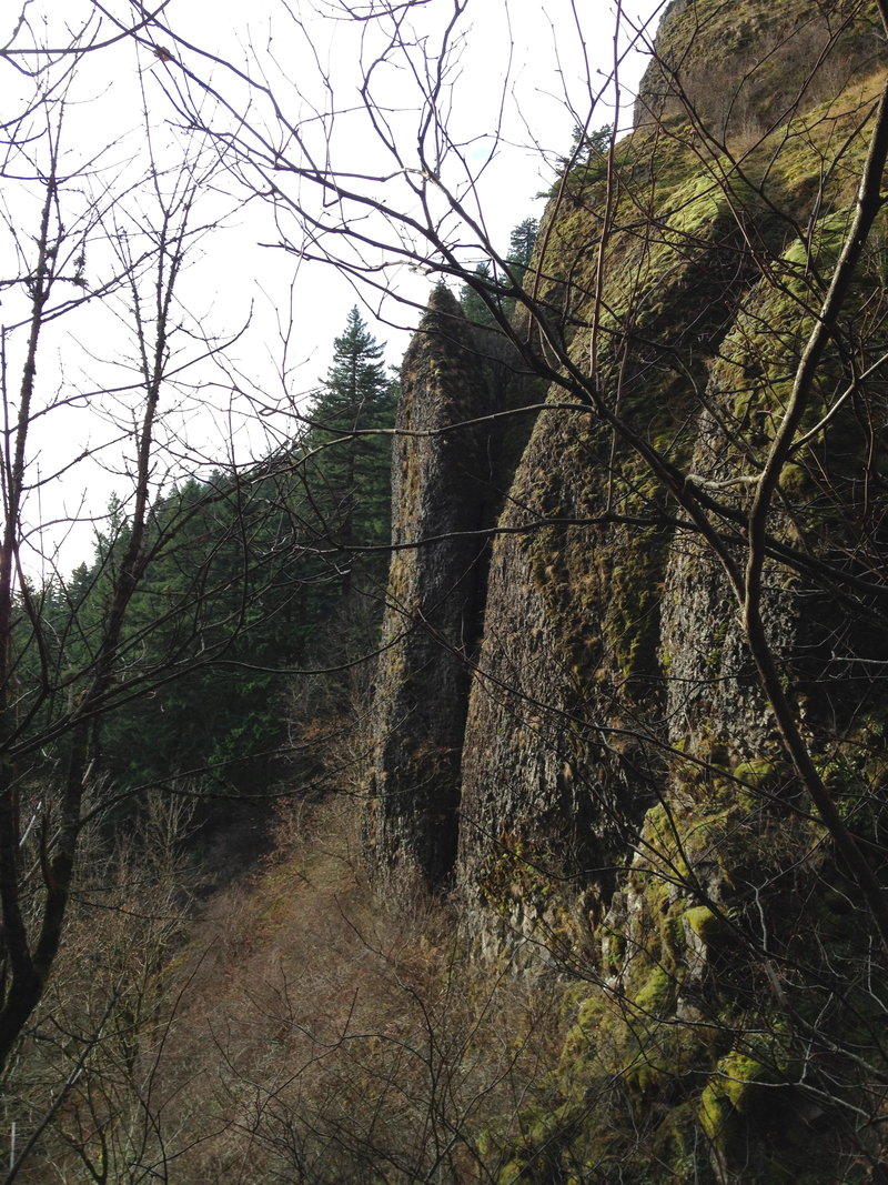
My first time visiting the east arm of the Archer mtn Complex. I started from Duncan Creek Road and came up the powerline, turned south just past Cynthia Falls. I did not see any signs indicating the area was closed. The true summit is viewless, but you can continue south along a nice rocky spine to get viewpoints into the gorge.

December 9, 2011

8 miles / 2,000 feet gained

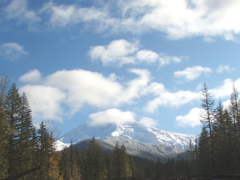
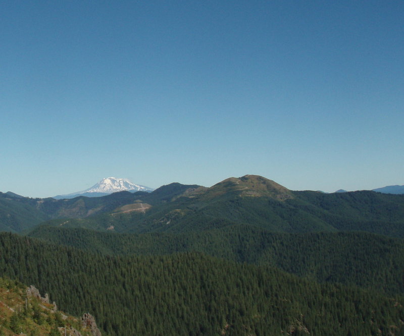
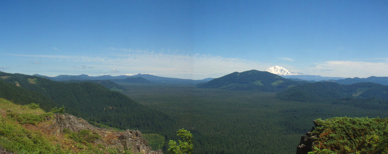
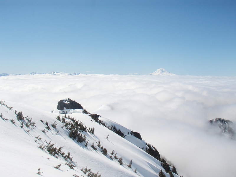
I've been working a lot lately. Really needed this hike today. Brought along my friend Seeger. No snow on the trail. It was very windy on top, hazy in the gorge, but very clear to the north. We could even see Rainier!

November 24, 2011

5.5 miles / 1,750 feet gained

Took this classic hike early on T-day. Pretty quiet on the trail.

November 20, 2011

8 miles / 1,500 feet gained

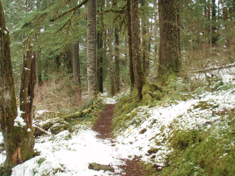
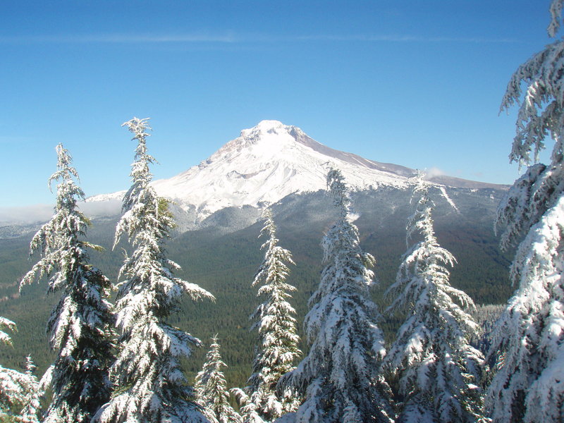
Heading up to Sedum Point to break in my new boots. Wasn't expecting so much snow, but it was lovely.

November 15, 2011

7 miles / 1,000 feet gained

This is another trail I have avoided because of the touron factor- but if you go on a Tuesday in November- you get a pretty quiet trip. Just saw one other hiker. Easy run, easy crossing of the Sandy River (seasonal bridge has been dismantled). A few slightly clouded views of Wyeast. Cool to see how the river changes course. Gorgeous moss covered understory w...
November 6, 2011

11 miles / 2,000 feet gained

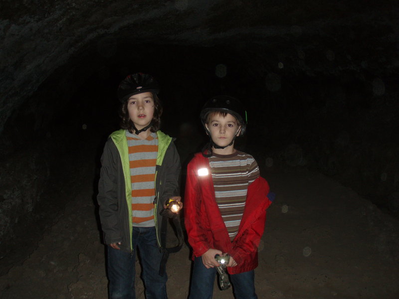
I started where the PCT crosses 2070. This section of the PCT between CG2070 and the old FS 41 road is quite lovely and very mellow elevation gain- good section for running. I passed about 5 small waterfalls enroute. Turned west on FS 41 to find Mowich Butte- a former LO site. Views are mostly covered up by trees now, but you can crawl through them on the no...
November 1, 2011

7 miles / 1,500 feet gained

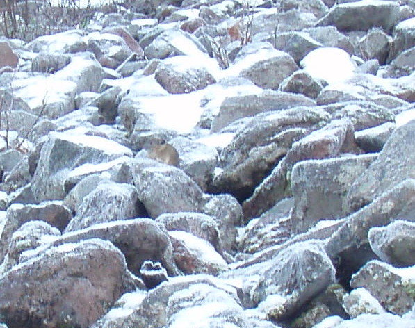
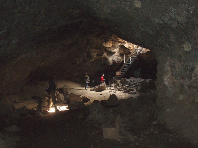
Snow starts just above Mirror Lake. Bonus for today was spotting a pika! he posed for me but I was very slow getting the camera out and only got one good shot. Also took a side trip to Yocum Falls- had fun wandering around on the "Original Wagon Route" and the old highway.
October 29, 2011

10 miles / 1,000 feet gained

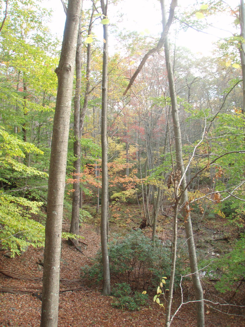
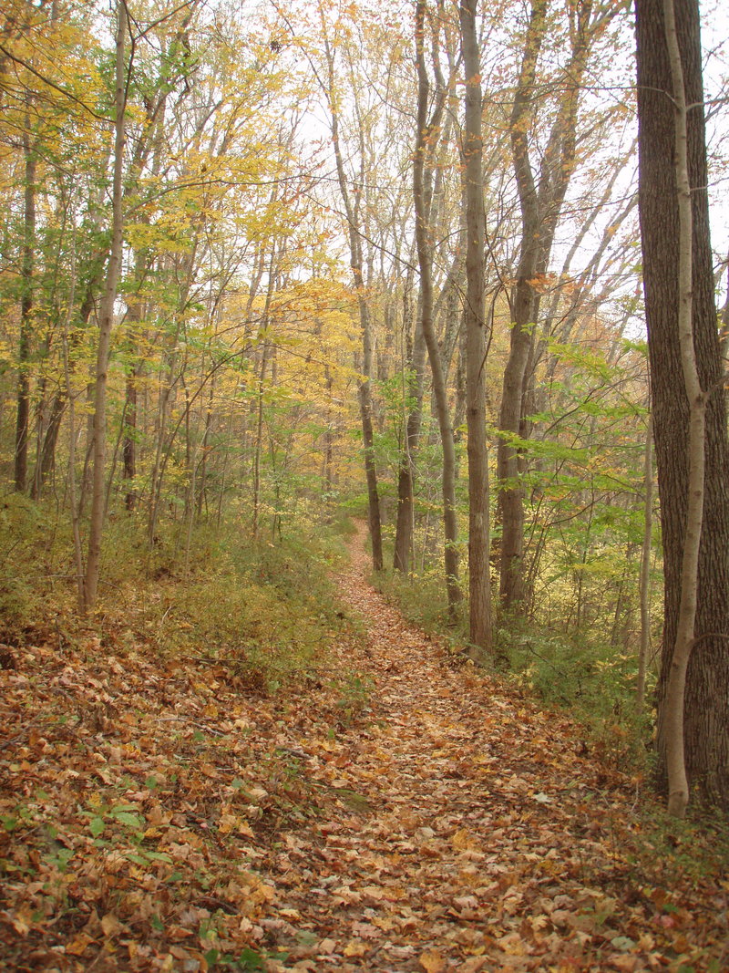
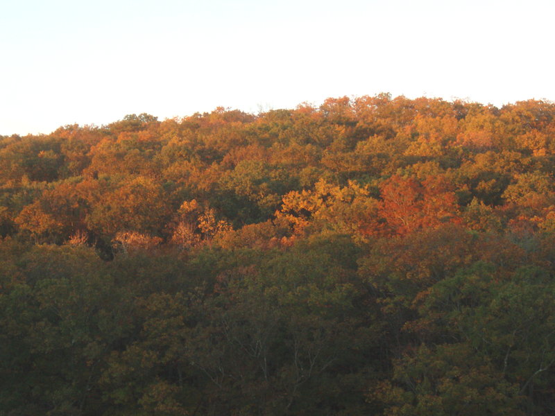
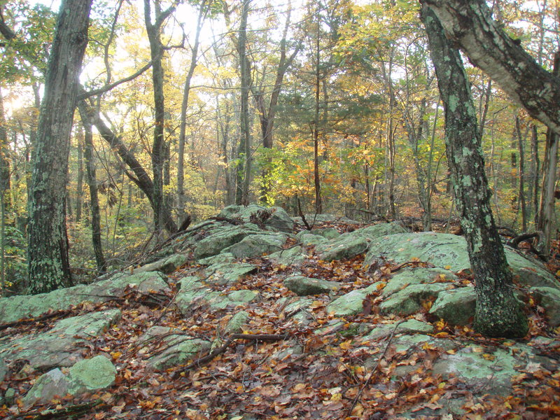
I was vacationing in Chester CT for a few days and had a chance to go on a nice New England forest hike every morning. I would choose a different section of the forest for each walk. Solitude on every single hike (all weekdays), and easy bushwacking. The fall colors were terrific and it was interesting to walk around in the eastern forest- very few conifers!

October 20, 2011

5 miles / 500 feet gained

I visited the Alder Flat Trail and "The Pipeline" along the Oak Fork coming out of Lake Harriet. At the latter location, I was trying to reach an old mine site, but was stymied because FS4830 was closed due to a slide andI got cliffed out on my bushwack. No matter- still a great fall day in the forest.

October 14, 2011

2 miles / 250 feet gained

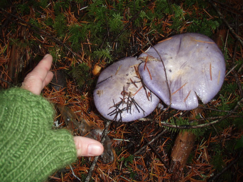
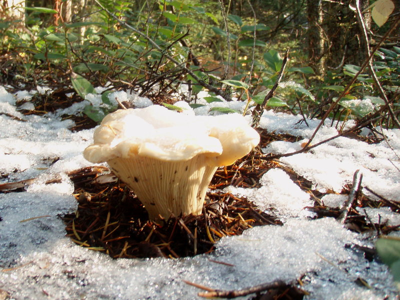
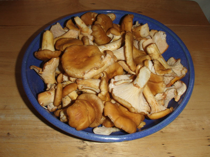
Wandering around in the woods for a few hours collecting chanterelles. Didn't cover much ground but it was sure nice to be out there.

October 4, 2011

4 miles / 500 feet gained

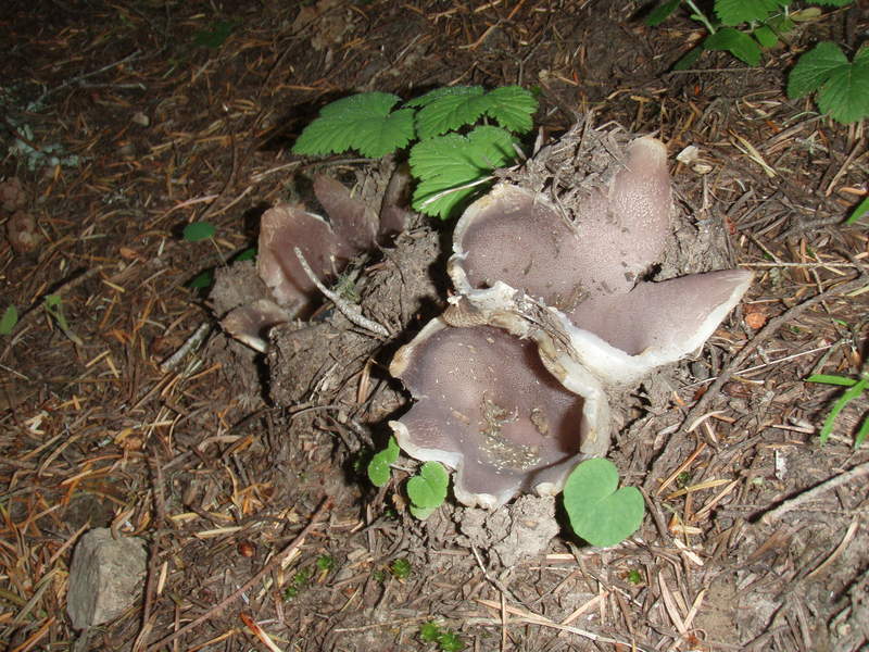
I'm taking it easy these days due to a returned back injury. Don't mind too much right now because it's mushroom season and that keeps the brakes on.

September 24, 2011

6 miles / 1,500 feet gained

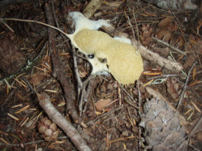
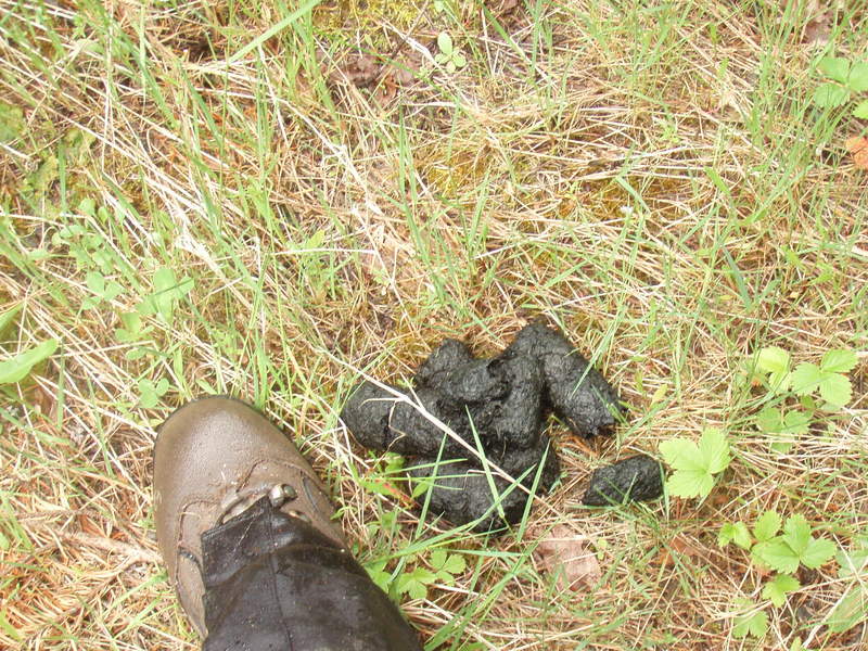
Mother nature provides the best classroom. Today's subject was scatology. Pics uploaded soon.

September 23, 2011

6 miles / 500 feet gained

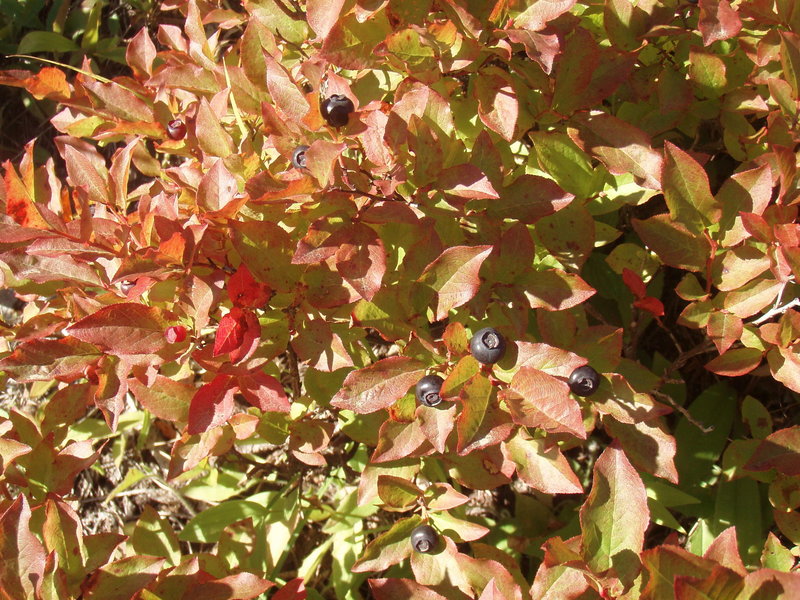
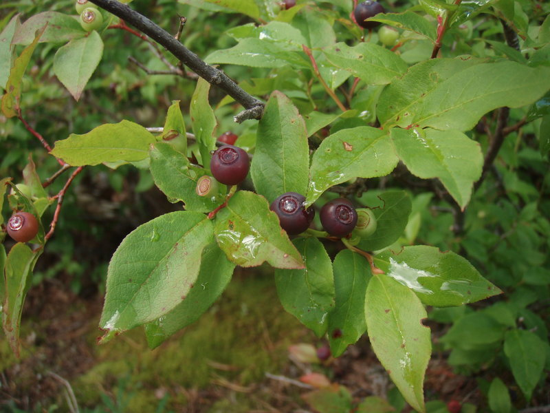
Not much mileage because of the huckleberries! I had to turn back before getting to the summit.

September 11 to September 12, 2011

17 miles / 4,000 feet gained / 1 night

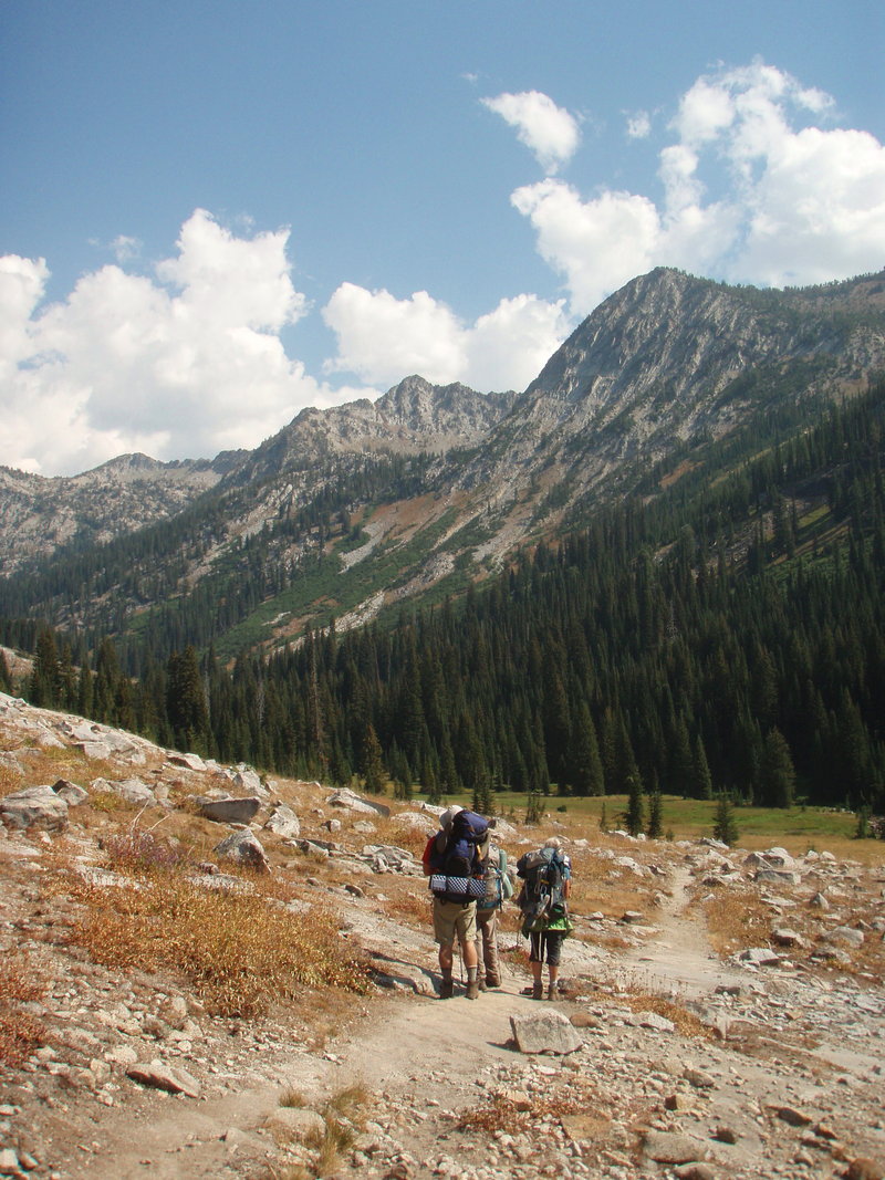
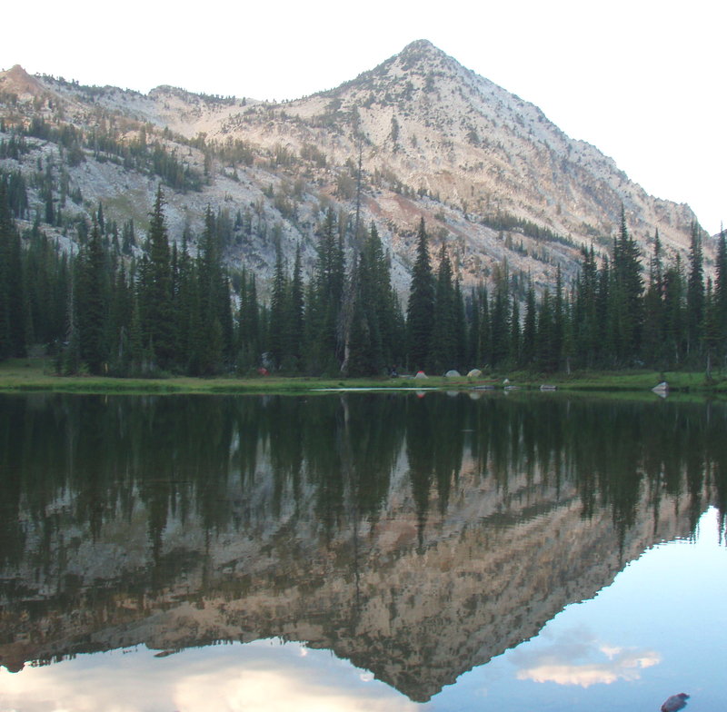
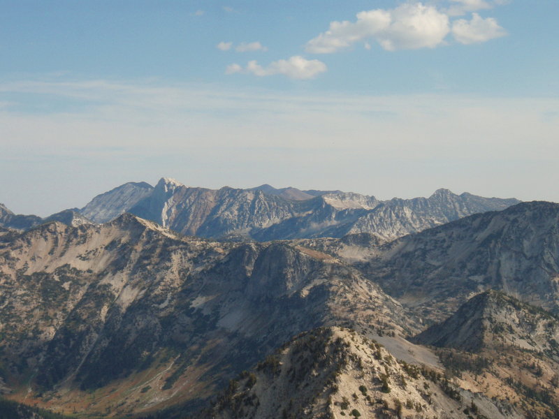
I joined a Mazamas group for this trip. We started at the Main Eagle TH, and hiked up Eagle creek to Cached Lake, made camp and summited Needlepoint Peak the next day. Fun off trail scrambling through alpine meadows and granite slopes. Stunning views of the Wallowas all around at 9000 feet!

September 10 to September 11, 2011

14 miles / 3,750 feet gained / 1 night

Gorgeous hike in a remote section of the Wallowas. Did not see another human.

September 4, 2011

6.5 miles / 1,000 feet gained

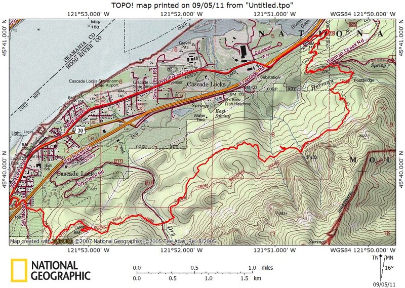
I wanted to stay clear of the smoke and have an early morning beat the heat run. I hid my bike in the bushes at the Herman Creek Campgound and drove back to Bridge of the Gods. Nice easy run, did a little exploring at the Pinnacles and another outcropping along the way. Pretty quiet on the trail this morning. It was fun riding back through Cascade Locks on m...
August 27 to August 28, 2011

9 miles / 3,750 feet gained / 1 night

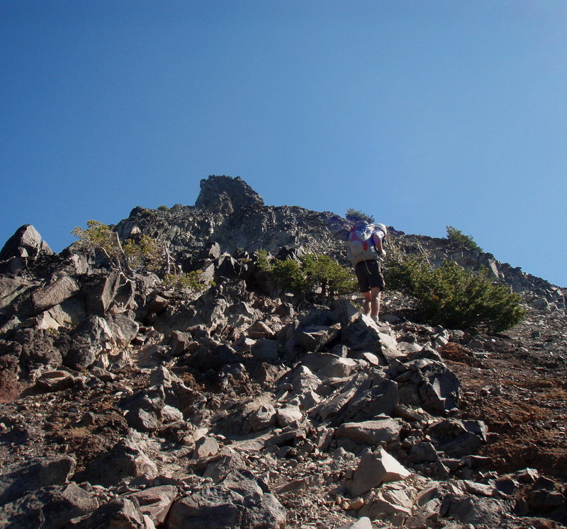
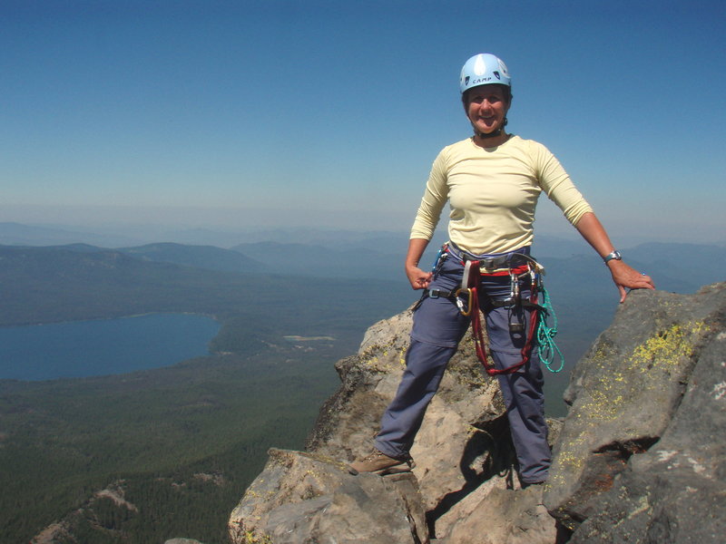
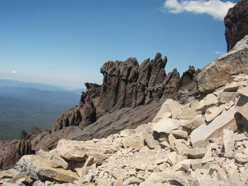
I went with the Mazamas on this trip. There have been some thunderstorms in the area lately, so we watched the clouds carefully. Gorgeous morning, plenty of folks out on the trail. The scramble route up the scree to the summit block was fun, but very dusty on the way down. I reccommend wearing pants or gaiters, and bringing gloves. We used protection on the ...
August 23, 2011

14 miles / 2,000 feet gained

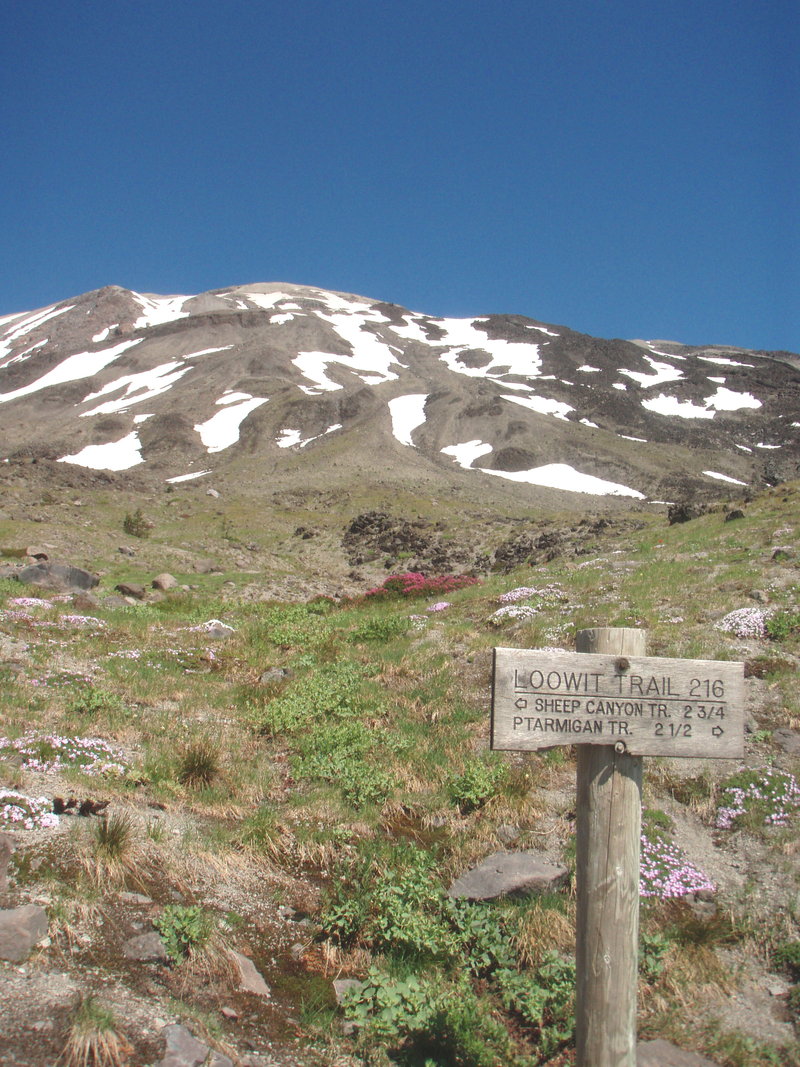
Wow what a beautiful area! I started from the Blue Lake TH and took it to the Butte Camp Trail and headed up to the Loowit. In your face views of MSH, and very quiet on this side of the mountain, I only saw two groups of hikers and one group of trail maintenance workers in the 6 hours I was out. I headed back down on the Sheep Canyon Trail- which has a HUGE ...
August 19, 2011

8 miles / 2,000 feet gained

I started at the south Burnt Lake on FS 27. The road is very rough, but you get to travel through some lovely meadows up to the Zigzag Ridge before dropping down to the Burnt Lake Basin. Pretty buggy at the lake and in the woods. The breeze on the ridgetop was merciful, and a better place to have lunch than the lake.

August 9 to August 12, 2011

20 miles / 5,000 feet gained / 3 nights

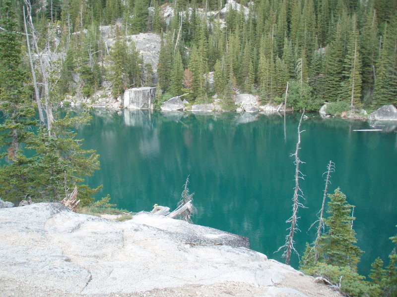
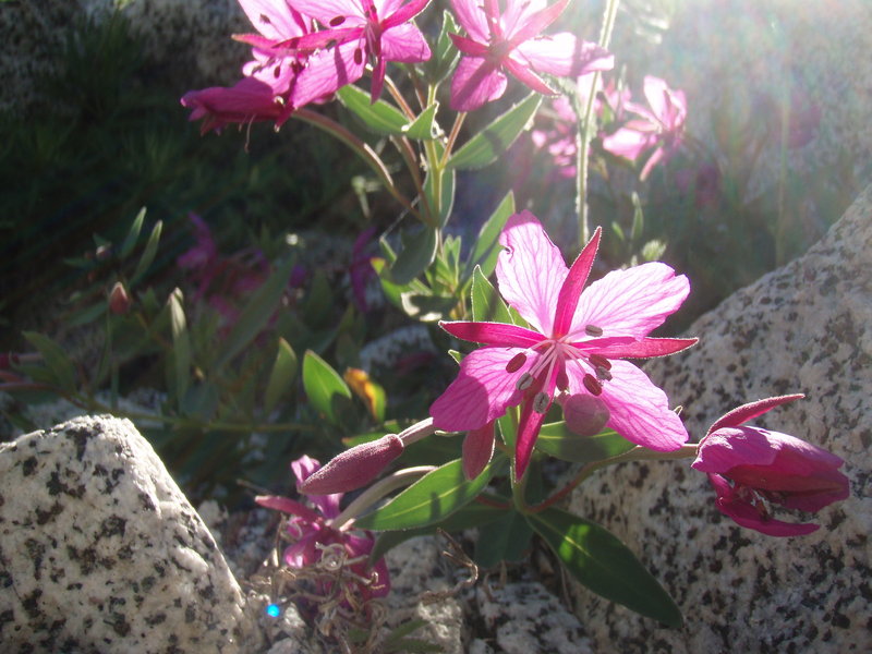
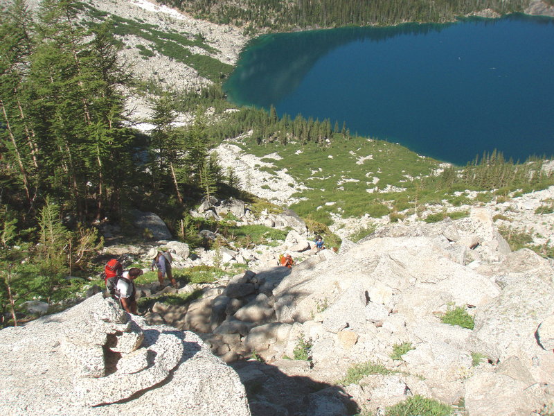
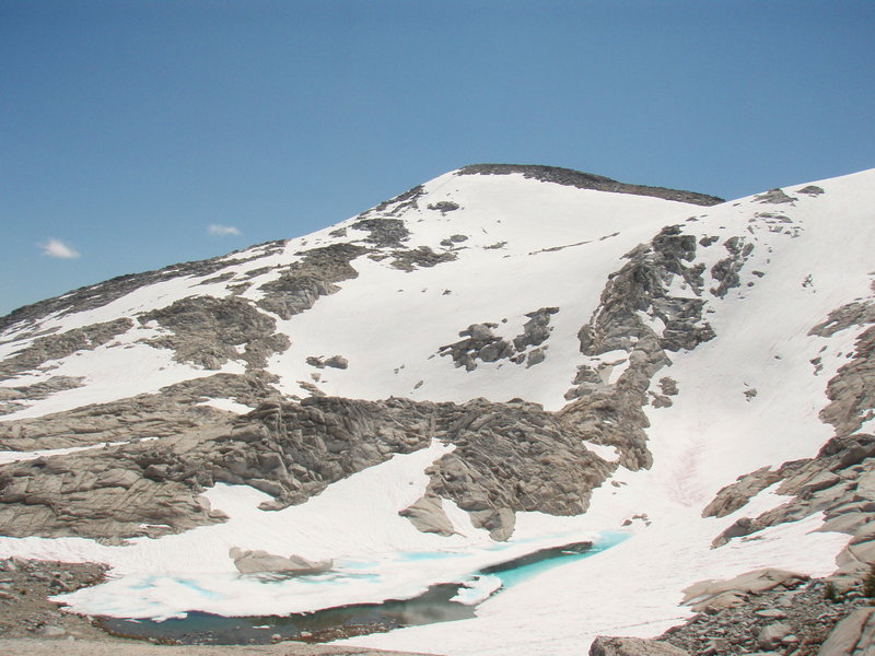
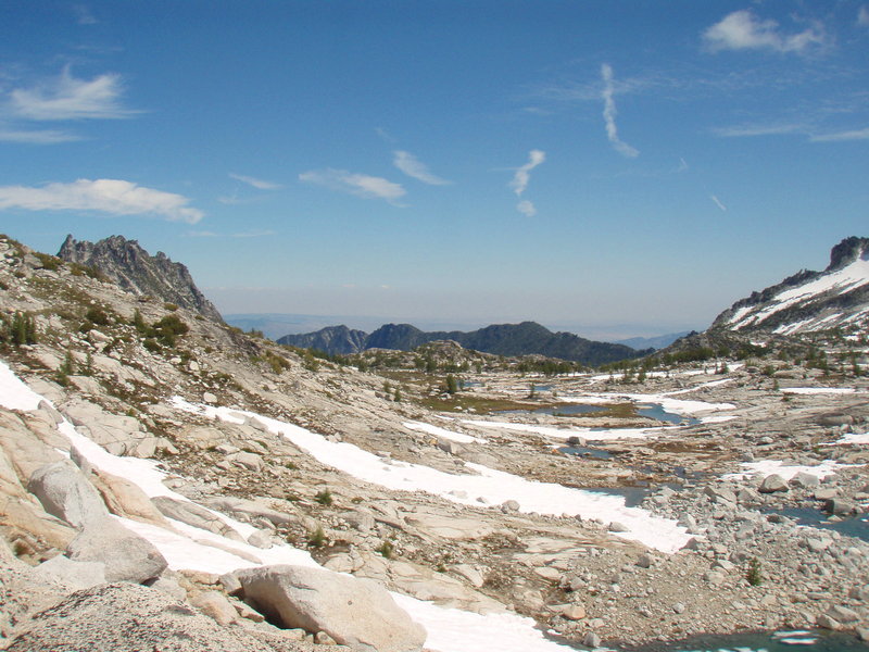
A friend had a permit for 3 nights at Colchuck and invited me to join. It's a long drive, almost 5 hours, but worth it for this gorgeous alpine area. On the second day we went up Aasgard Pass to the Enchantment Lakes Basin. Since we only had day packs, it wasn't too difficult, we saw lots of goats, some gorgeous flowers, one fat marmot, a ptarmigan, and of c...

August 6 to August 7, 2011

10 miles / 1,750 feet gained / 1 night

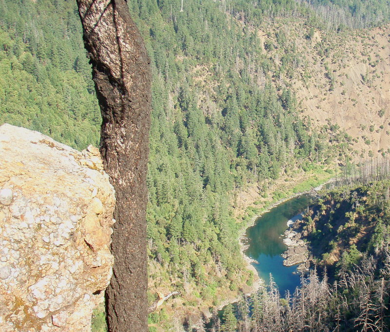
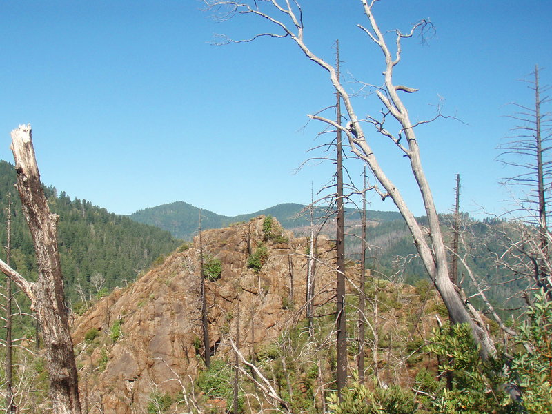
I was in Agness for a wedding. We had some free time before the ceremony, so we headed out early to beat the heat. The first part of the hike is in oak forest, then some big firs before you hit the burn area ( from the 2002 Biscuit fire). My son hiked part of the way- 3 miles and 900 ft gain to Buzzard's Roost, then turned back with a friend. Three of us wen...

August 2, 2011

4.5 miles / 750 feet gained

Nice morning hike to stretch the legs a bit. Flowers are on the wane, but great views today!

July 29, 2011

10 miles / 2,500 feet gained

As I was driving up to Grouse Vista, I saw the WA discovery pass sign and realized I didn't have any cash to buy a pass, so I started at the gated logging road, which on some maps is supposed to be where you pick up the southern end of the180 trail. I took two wrong turns, but eventually found myself below the ridge with the indian pits on a road that was ve...

July 26, 2011

10 miles / 1,750 feet gained

I started where the PCT crosses CRG2000. This section between here and Rock Creek Pass is unremarkable, and I would recommend skipping it and starting at the higher Rock Creek Pass TH ( near the jxn of CRG 2000 and 2090). Very cool, humid and cloudy today, but the wildflowers on the ridge top were spectacular!

July 23 to July 24, 2011

6 miles / 1,000 feet gained / 1 night

This was our first family backpacking trip. My son ( 8 years old) carried a small pack with his clothes, sleeping bag and a few other items. He has done a great job hiking lately, but the higher elevation and pack made this a bit hard for him. We didn't go very far, but conditions were good- warm weather, minimal bugs, great wildflowers. We camped at Oval La...

July 21, 2011

9 miles / 2,250 feet gained

I hiked the Gumjuwac Trail- starting on Highway 35, up to Gumjuwac Saddle. It's pretty nice, easy gain of 1700 feet in 2 1/2 miles through some nice forest. Took me about 1:20 -chaggling. The more single minded hiker can get up there in an hour. At the Gumjuwac Saddle there are multiple options for some great backpacking. You can turn north on the divide tra...

July 13, 2011

6 miles / 250 feet gained

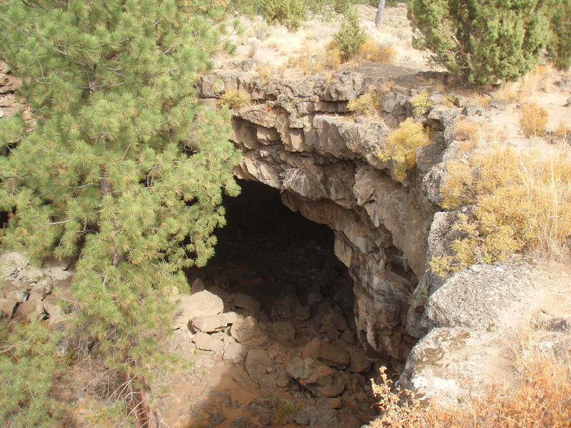
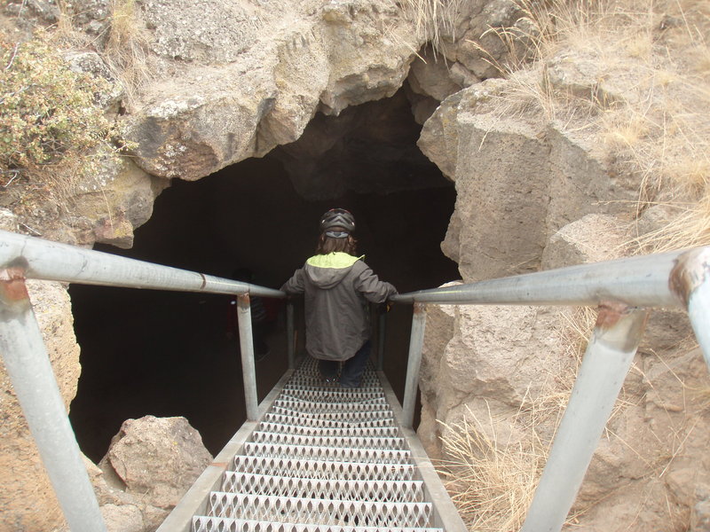
My niece and her fiance were visiting from Florida and wanted to go visit a lava cave. It's a two mile walk in on logging road to the TH, then a short 1/2 mile hike to the entrance of Ole's Cave. We wore helmets and brought headlamps and walked through to the third entrance- about .7 miles. It was a little easier than the upper section of the ape cave, witho...

July 7, 2011

8.5 miles / 1,250 feet gained

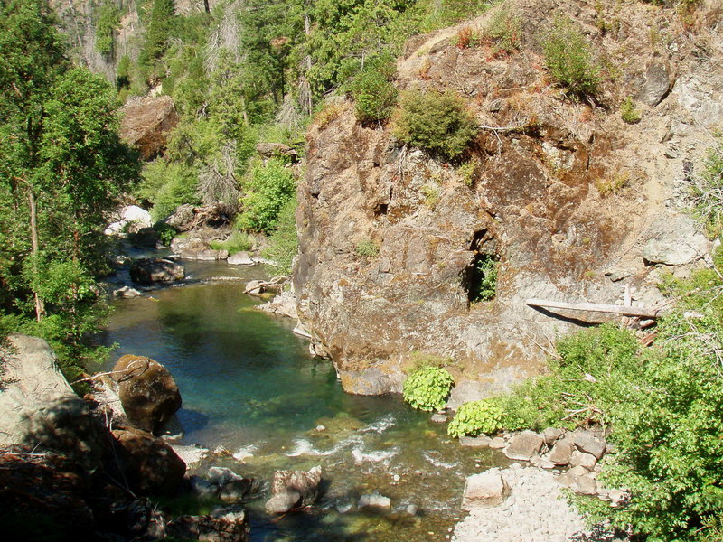
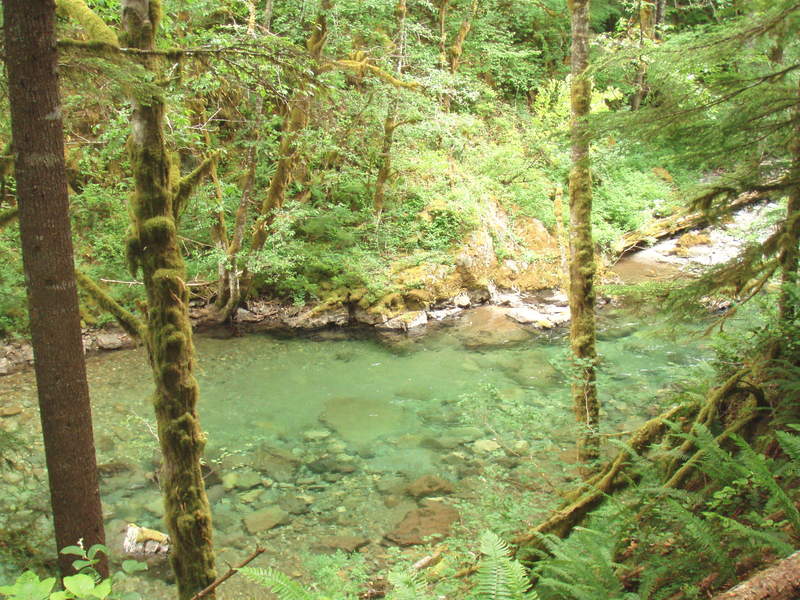
What a beautiful emerald green color in this river. Many of the rocks are light blue to give this effect. I hiked the Siouxon Trail to the Chinook Trail, and crossed Chinook Creek below the falls. I then traversed downstream on the north side of Siouxon to Wildcat Creek. Instead of taking the trail, I had a delightful creek walk right up the Wildcat creekbed...

June 30, 2011

10 miles / 2,000 feet gained

I hiked up the Cripple Creek trail from the Three Lynx area, intending to go to Cache Meadow. The trail is in great shape, but lots of poison oak hanging over the tread in the first half mile, don't recommend shorts on this section. Because of the rain the day before, all of the new growth was dripping wet, and despite my gaiters, I got soggy feet and upper ...

June 26, 2011

5 miles / 1,000 feet gained

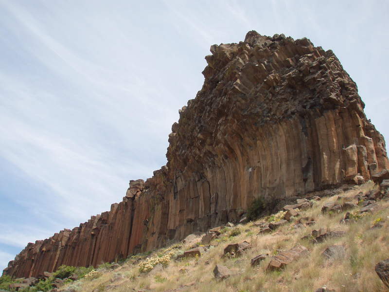
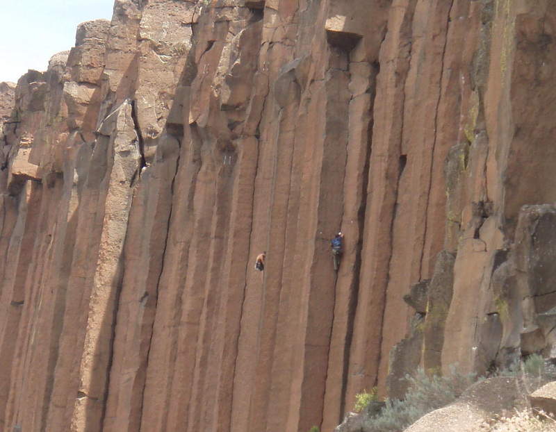
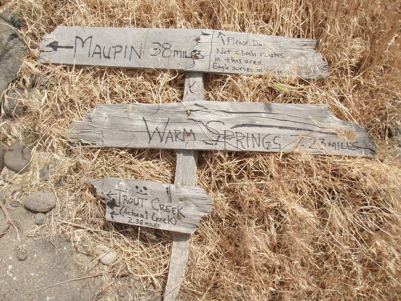
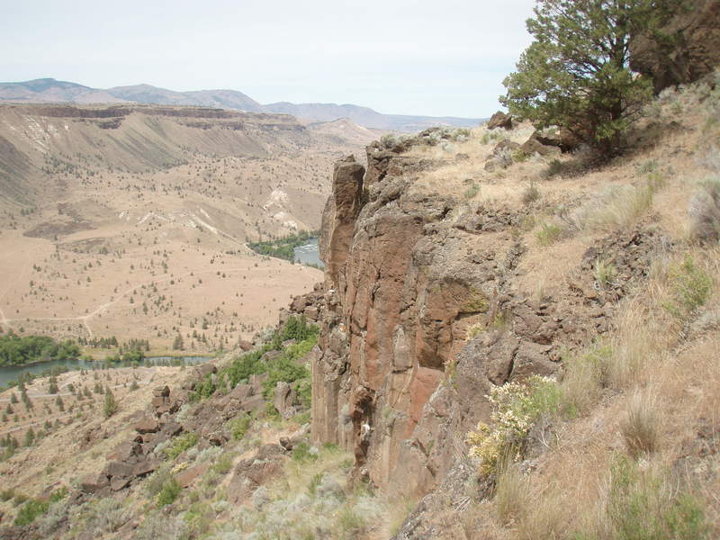
I started at the Trout Creek Campground and walked upstream a few miles, then scrambled up through a massive scree field and visited the bluffs favored by climbers. Walked back along the top of the butte, and dropped down through the rimrock back into the campground. Fun scrambling, and great scenery!

June 25, 2011

6.5 miles / 1,250 feet gained

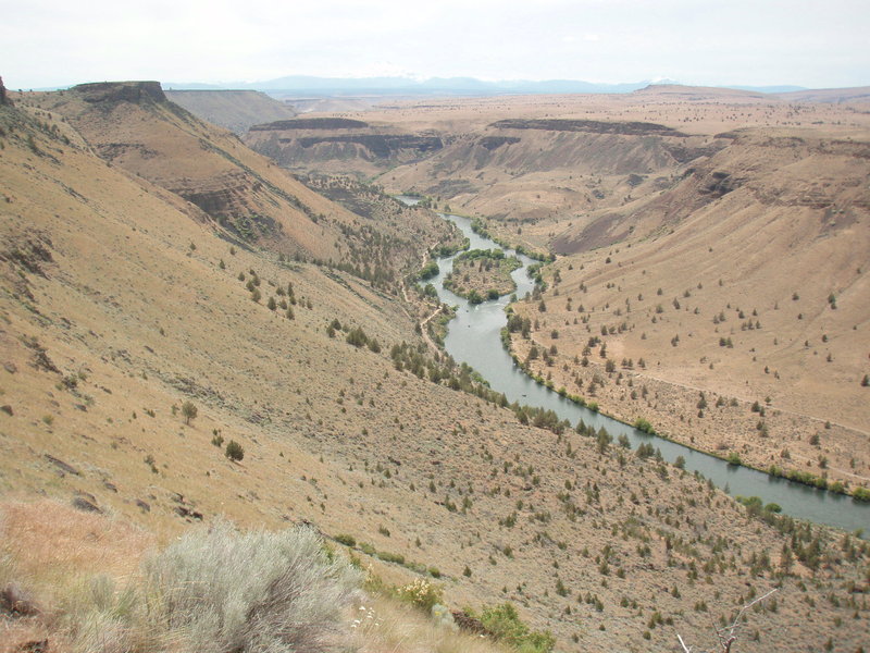
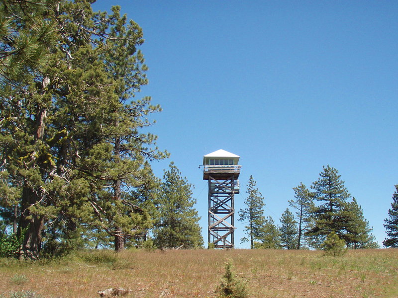
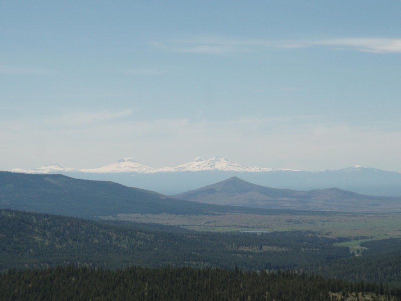
Foley Butte is on the western edge of the Ochocos, east of Madras. Access is very limited because of the amount of private land in this area. There is no trail, I mostly walked on logging roads, but found some old ones that cut throught he forest. The summit ridge has big ponderosa pines and a park like setting, full of wildflowers. It has an ODF lookout tow...

June 25, 2011

6 miles / 1,750 feet gained

I hiked up from the Gray Butte Saddle. Pretty cool to look down on Smith Rock. Great wildflowers, amazing views. Fun times in the high desert!

June 20, 2011

6 miles / 2,500 feet gained

I did this climb with the Mazamas. We had a great day, wonderful snow climbing on nice malleable crusty stuff in the morning, which made ascending through the snow chutes very manageble. The sun came out and views all around were amazing. Short climb on a fixed rope to the summit. The sun softend the snow for our after lunch descent- fun glissades down.

June 14, 2011

7 miles / 2,250 feet gained

I've been laying low because of a back injury. It was good to get out on the trail again today. The wildflowers are amazing on this loop. Wonderful variety as you ascend, including....spring beauty, oxalis, waterleaf, inside out flower, wild ginger, rue, bleeding heart, valerian, serviceberery, bunchberry, thimbleberry, salmonberry, false Solomon's seal, goa...

June 11, 2011

4 miles / 500 feet gained

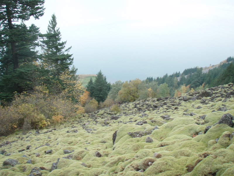
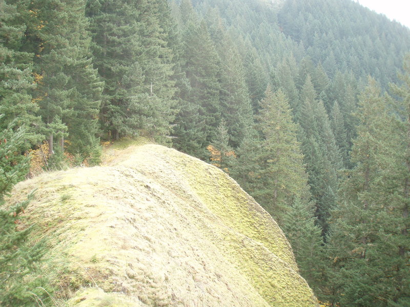
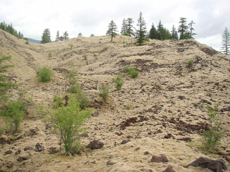
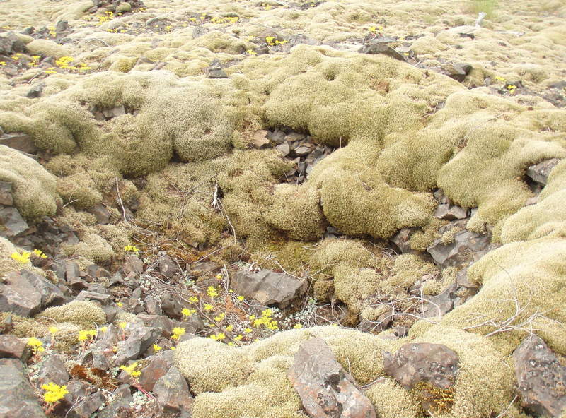
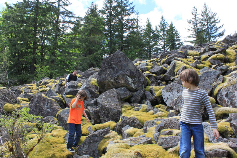
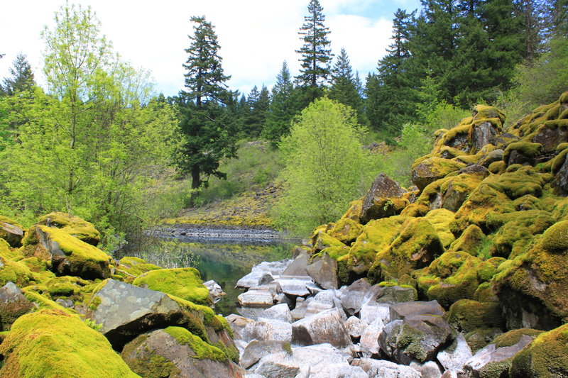
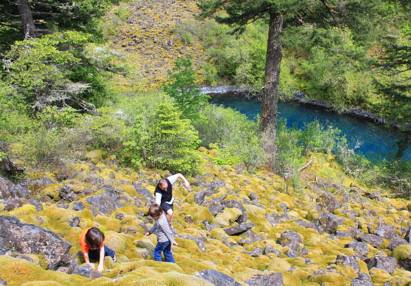
A little morning ramble looking for another one of those big mossy scree fields after seeing it on Google Earth. This one is huge and covered with soft deep moss, and has a nice ridgetop giving spectacular views. The big bonus was finding what I am sure is a vision quest pit, at the top, in the NE corner- approximate location marked on the map. See link to T...

June 3, 2011

8 miles / 250 feet gained

Beautiful area! I came here for an easy stroll and wanted to find the marmots and get some good wildflower photos. Success on all three goals. Next time, I'm bringing my bike.

May 30, 2011

4 miles / 500 feet gained

I brought the family along for a little exploration. My husband and two kids age 8. Our mission was to check out my game camera on Greenleaf Creek and find a hidden lake nearby- waypoint marked on map. We started from the Blue Lake side and walked in on gravel logging roads owned by Longview Fiber. We got to the creek and decided not to cross- interesting ho...

May 27, 2011

10 miles / 1,250 feet gained

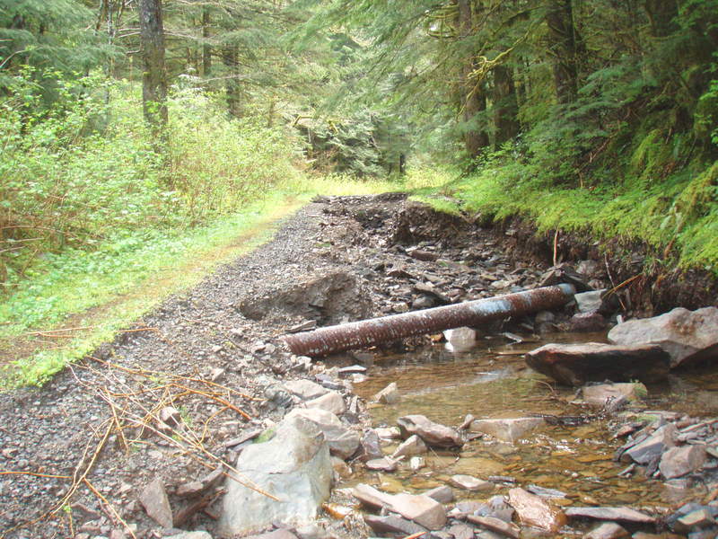
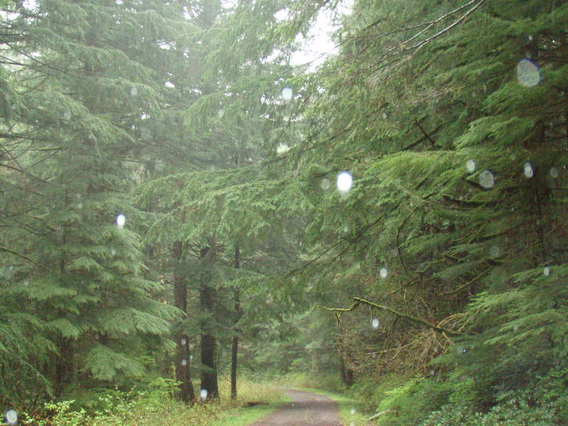
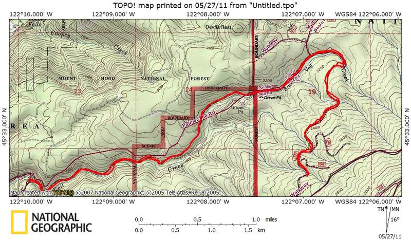
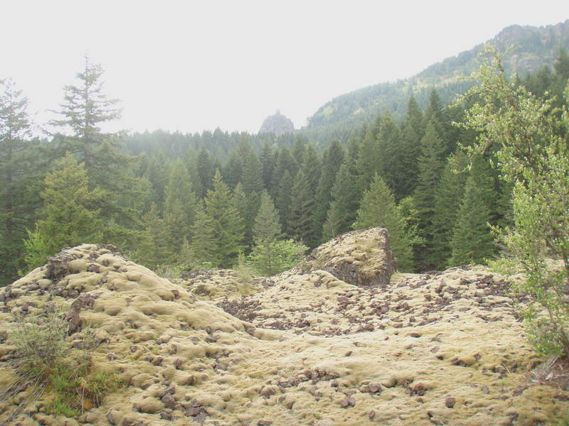
Mellow run up the Bridal Veil drainage. This is a great alternative to Angel's Rest which allows you to get up to Devils Rest and Multnomah Basin without having to plow through all the tourists! The lower section of Palmer Mill Road between the Angel's rest TH and Brower Rd is closed, so you have to approach from Brower Rd. Upper section is still gated as al...

May 23, 2011

5 miles / 1,000 feet gained

Goofed around in the woods for a few hours setting out my game camera, and exploring Greenleaf Falls. Visited the mysterious moss covered scree field reported by Don Nelson last year, and I noticed in Google Earth, there is another larger one nearby- due east.

May 20, 2011

5 miles / 3,000 feet gained

I got acute mountain sickness on my way up Mt Hood, had to turn back around 8800 ft. Real bummer, this has never happened to me before. No pics, it was still dark when I turned back.

May 16, 2011

5 miles / 1,250 feet gained

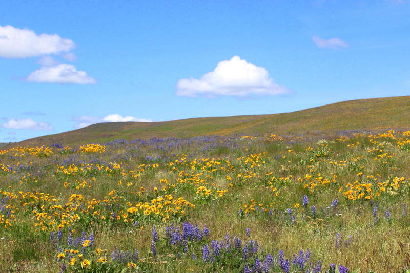
Mellow wildflower hike with a friend. Balsamroot and lupine are going strong above 800 ft.

May 12, 2011

7 miles / 500 feet gained

Around MP 8.5 on the Larch Mountain Rd, there is an orange gate on the left(west) side. This logging road branches several times and leads to many hiking/running options, without a huge amount of elevation gain. If you are willing to bushwack a bit, you can cross Bridal Veil Creek and get onto Palmer Mill road and the Larch Mountain basin area. If you fork l...

May 10, 2011

12 miles / 5,500 feet gained

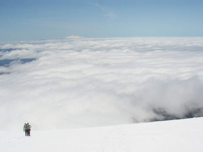
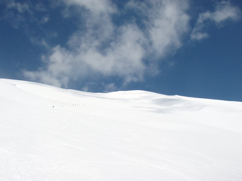
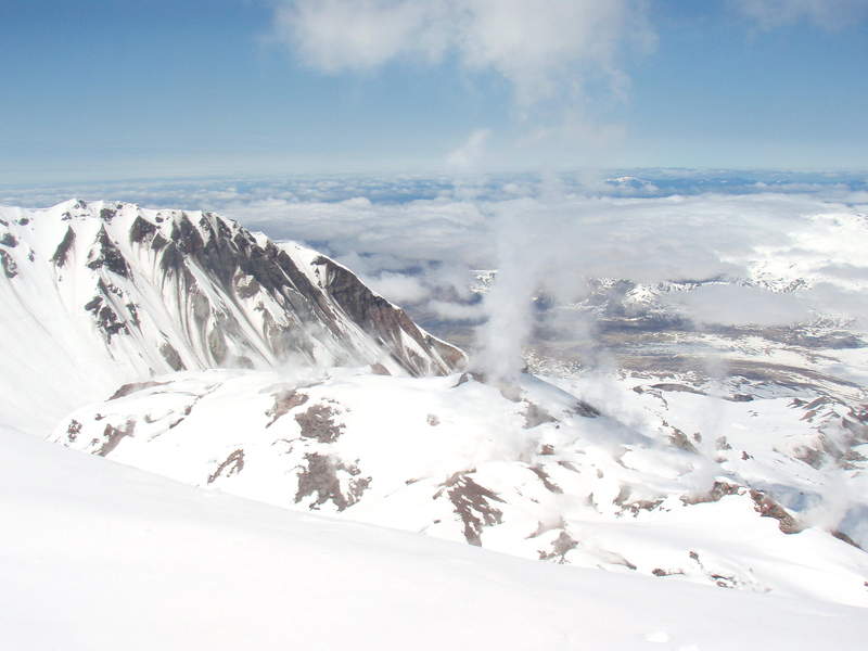
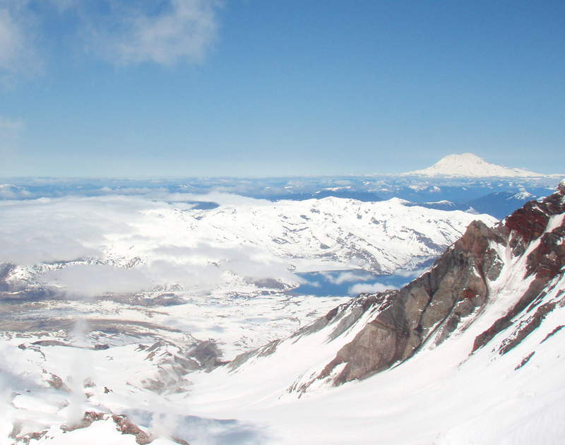
Gorgeous day to hike up MSH. Pretty mushy though, had to wear snowshoes the whole route up.

May 7, 2011

6 miles / 750 feet gained

One of my favorite loops in FP. I started at Germanton Rd and took the Wildwood NW to Newton Rd- love that trail. Up BPA powerline- best elevation gain in the park, back on the Wildwood.

May 5, 2011

5 miles / 750 feet gained

ATC mileage. Started down by the St Johns Bridge, went up Fireland 7A- trail petered out into a bushwack, still beautiful! Took Lief Ericson to Hardesty, then back down on the Ridge trail.