Jen

73 trips 524 miles logged 8 nights out in 2011 Subscribe to updates

Hikes by Jen in 2011

April 30, 2011

9 miles / 3,750 feet gained

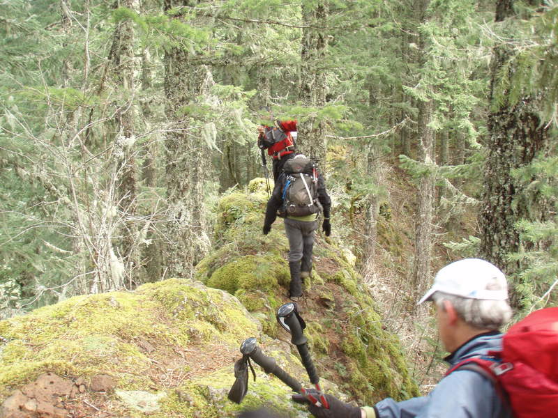
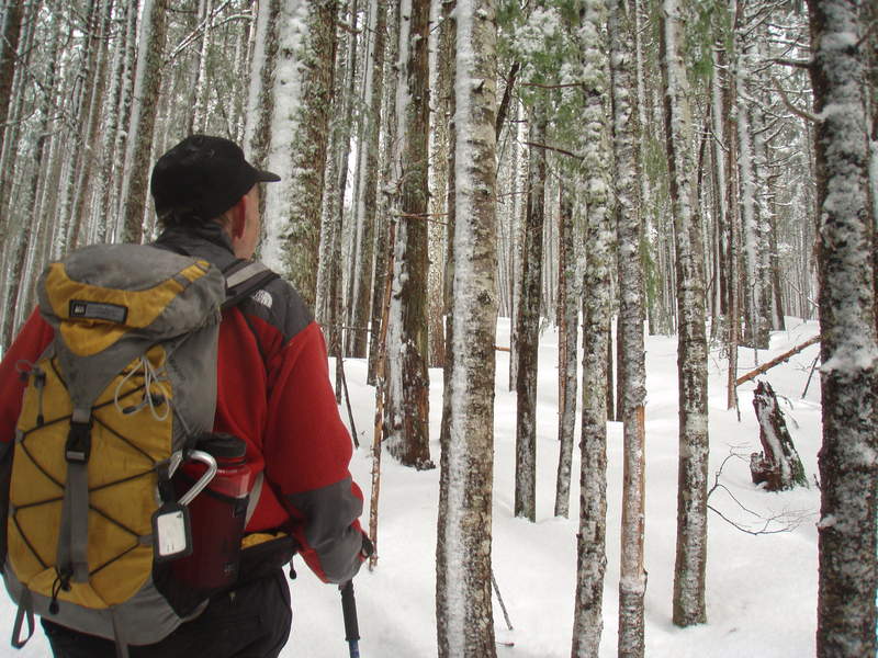
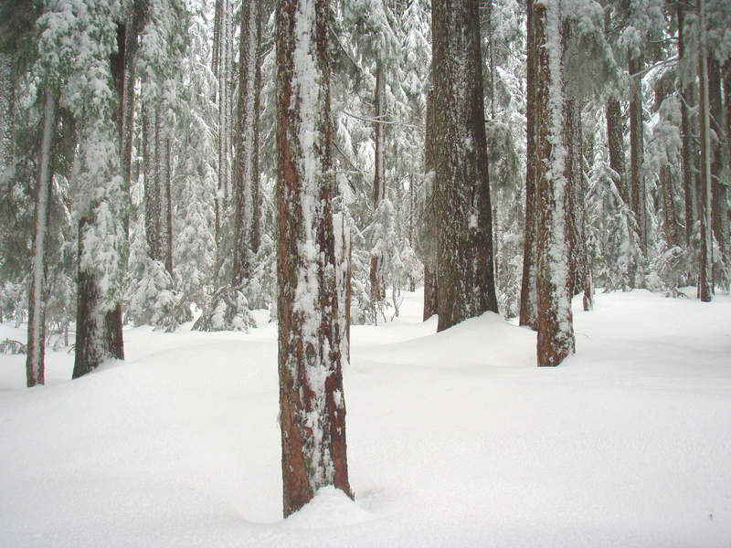
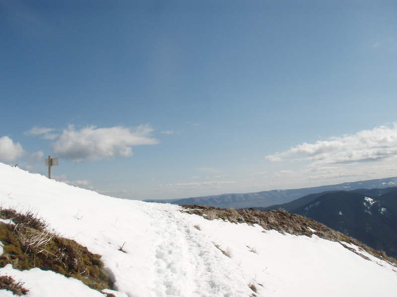
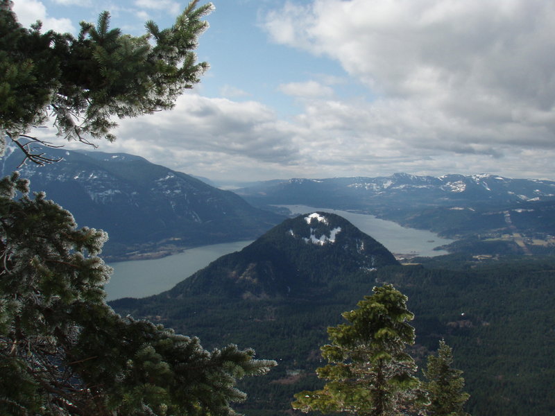
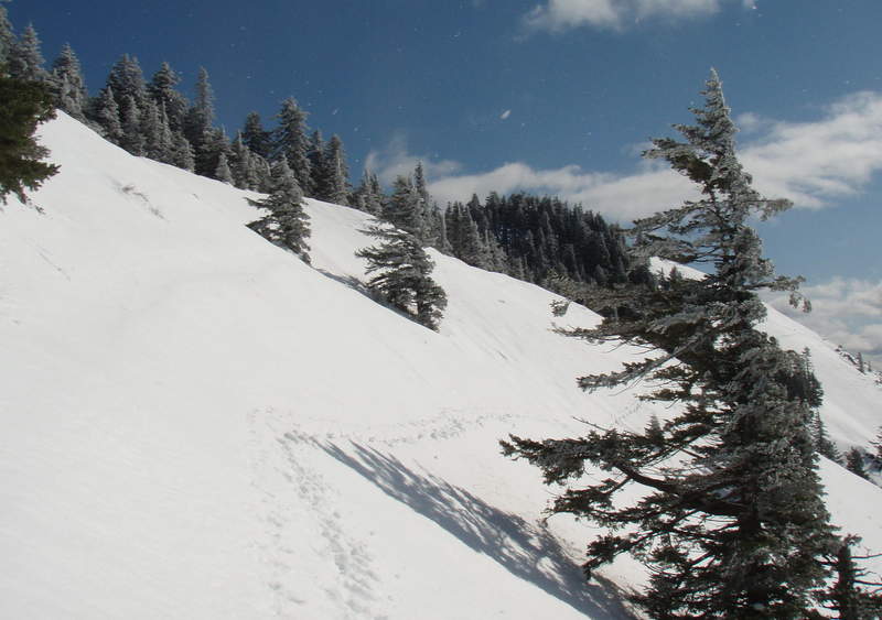
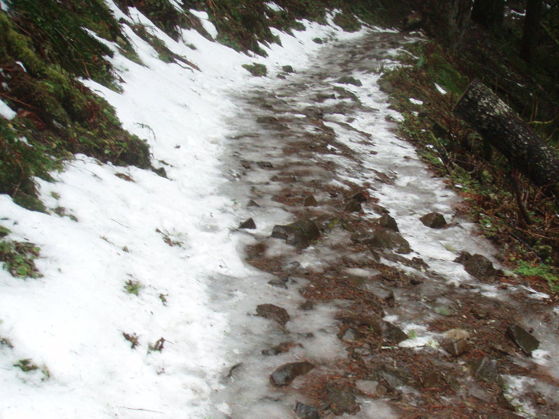
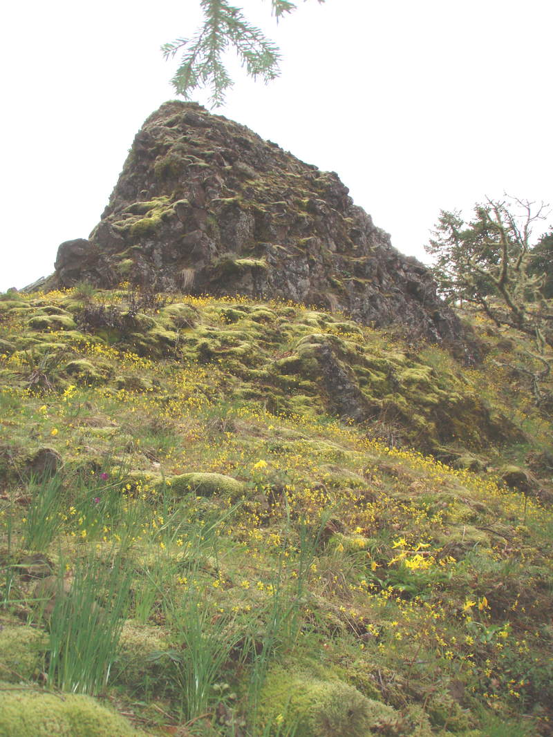
Great day for this hike. Made the first tracks in new snow from earlier this week. Snow started around 2900. Still pretty deep on top of the Benson Plateau. We had lunch in a sunny XMas wonderland while trees bombed us as the snow dropped off the branches. Several in our party had done this hike before, but we still wandered around the eerie plateau for awhi...
April 24, 2011

4 miles / 1,000 feet gained

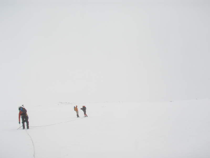
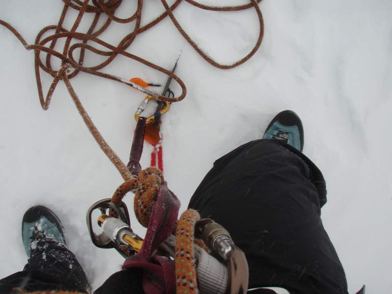
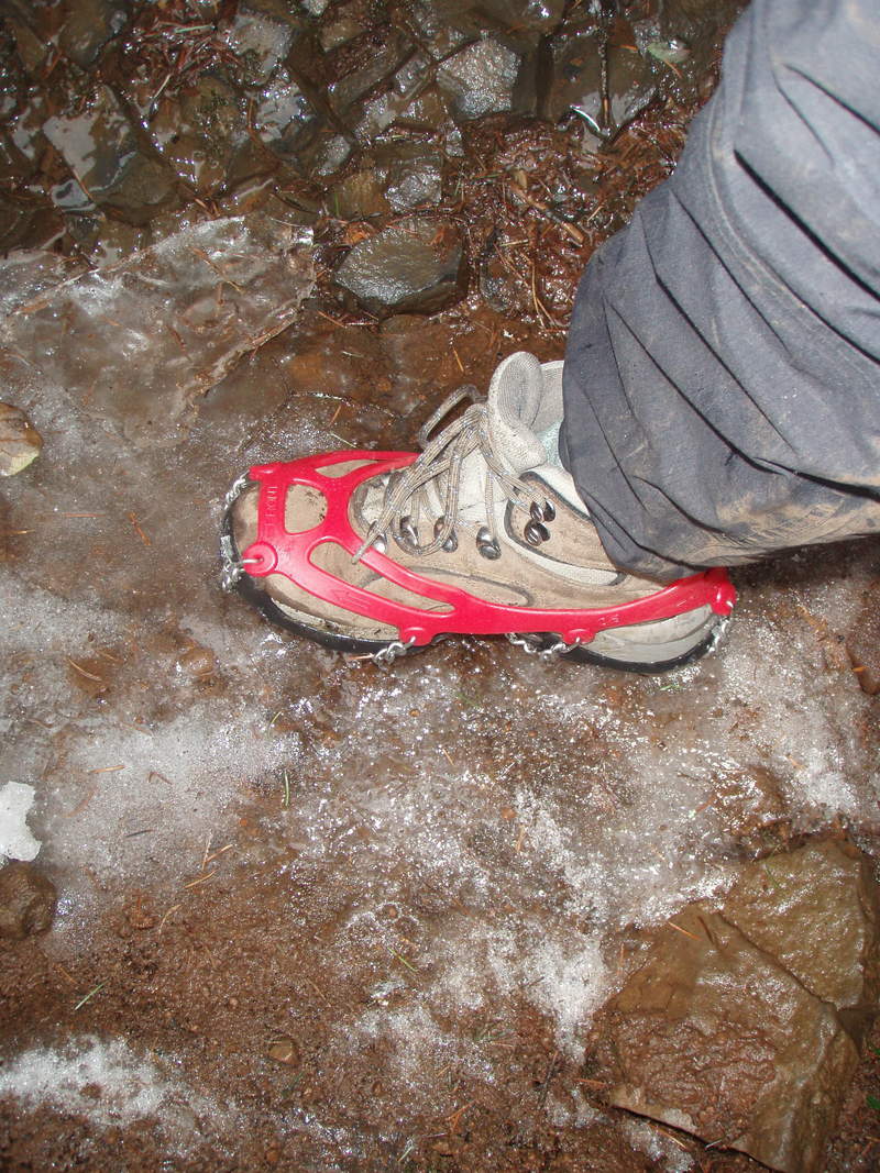
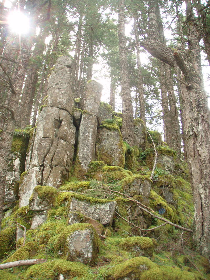
Spent several hours doing this short hike because we were practicing rope travel in adverse conditions. A very good learning experience to find out what gear I need for our summit attempt in a month.

April 17, 2011

8 miles / 3,250 feet gained

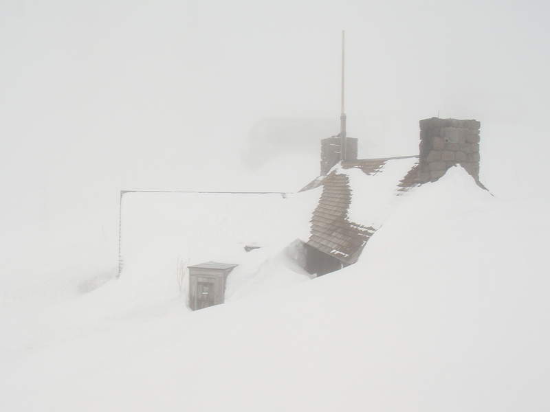
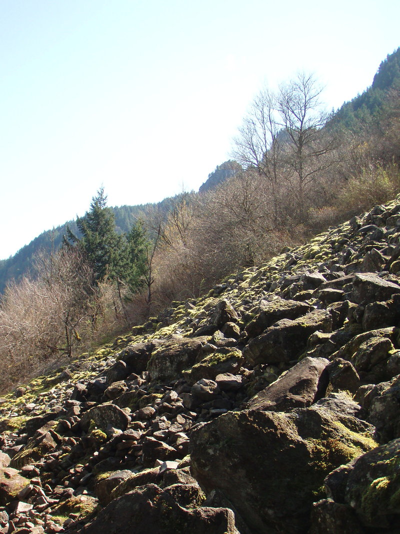
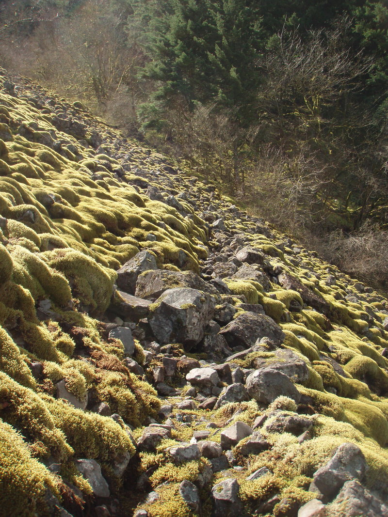
Snowy in the trees above the boulder field on the Eastway Trail. Much less snow on the Westway route- just a few drifts below the summit near the indian pits. Table top is snow covered, but the south spur is open, worth postholing over there on a clear day. Dick Thomas Trail is extremely muddy, I recommend starting from the Aldrich Butte TH.

April 10, 2011

7 miles / 2,500 feet gained

All the snow is gone, but no views today.

April 3, 2011

7.5 miles / 2,000 feet gained

I was one of hundreds of people up here today, including two BCEP groups and at least two other hiking club groups. This experience validated my preference for hiking alone, on weekdays, on obscure trails.

April 2, 2011

6 miles / 1,000 feet gained

I parked at the Linnton Community Center, then crossed highway 30 and picked up the Linnton Trail behind the bus stop. I took it up to Forest Lane 9, which ends on Germantown rd across from Lief Ericsson. I then took the Cannon Trail to the Wildwood to the Waterline trail which ends at the water tower surrounded by a pretty park like setting. Got snowed on u...
March 27, 2011

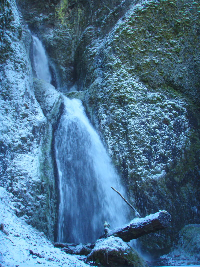
8.5 miles / 1,750 feet gained

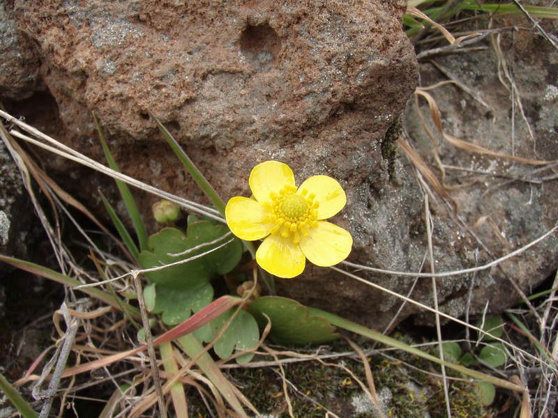
All the snow is gone now. Flowers are late this year, but starting to emerge.
March 12, 2011

5 miles / 750 feet gained

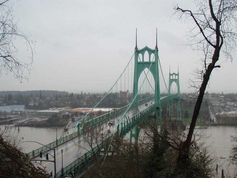
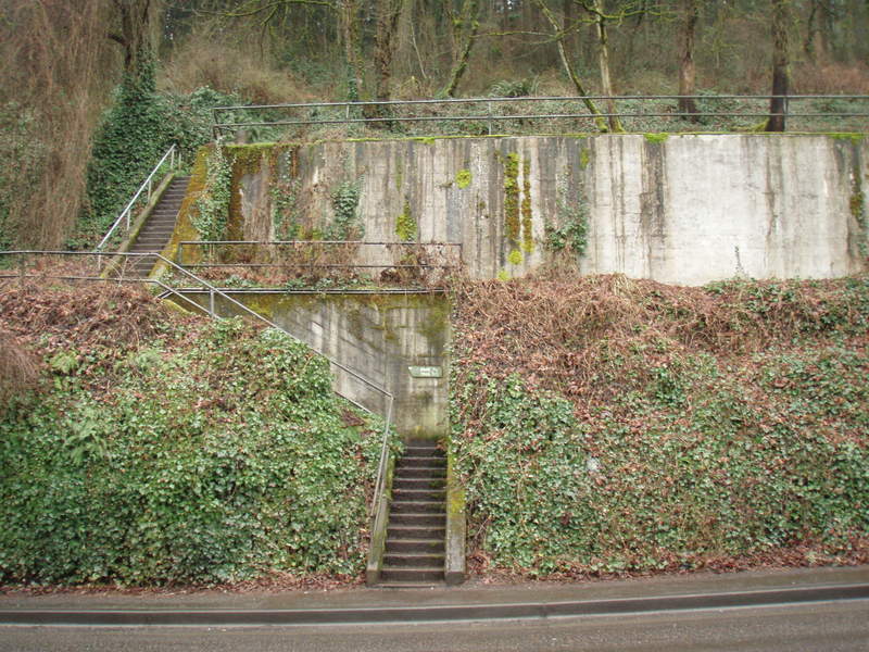
Starting at the St Johns Bridge, the Ridge trail goes all the way up to the top of Firelane 7. I took the Hardesty Trail part of the way down to make a lollipop loop.

March 7, 2011

7 miles / 2,500 feet gained

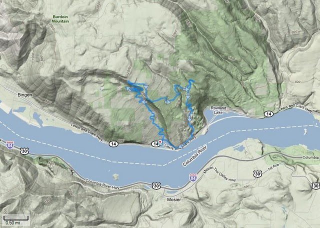
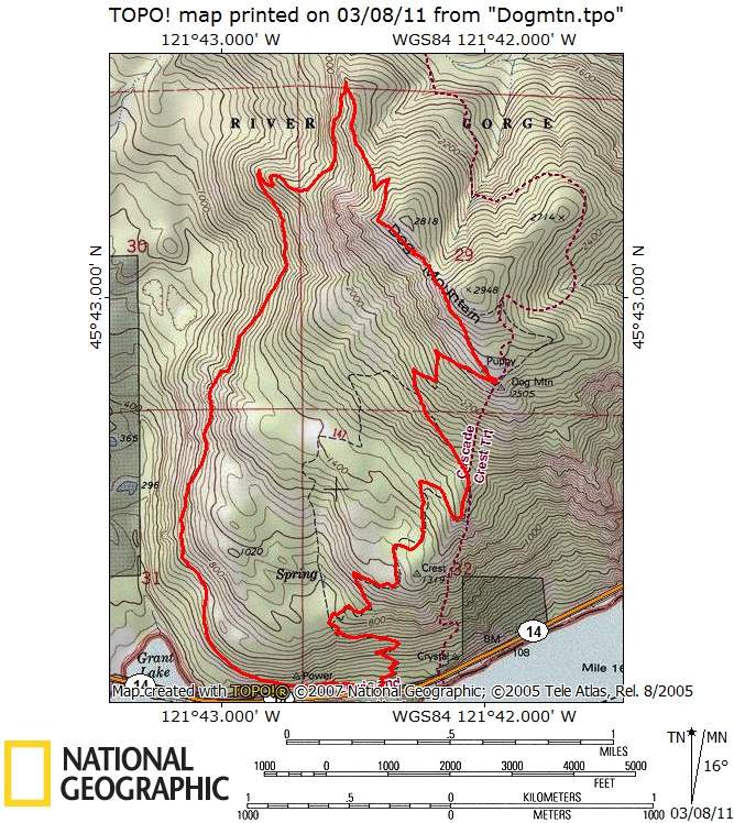
Bluebird day for the Dog Mountain Loop. The upper portion of the Augsperger Trail was a bit scary to traverse.

February 25, 2011

6 miles / 2,000 feet gained

4 inches of fresh untracked powder starting at the Devils Way trail. Unfortunately my camera battery died after taking one picture.

February 19, 2011

5 miles / 250 feet gained

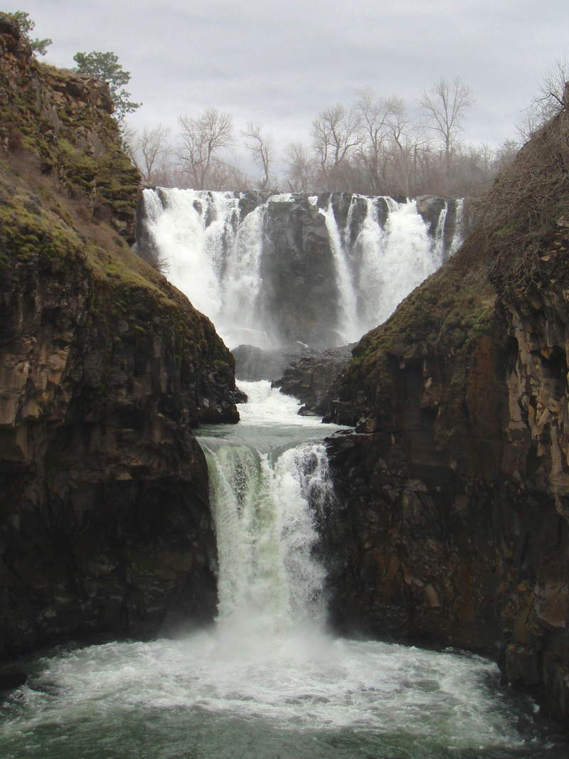
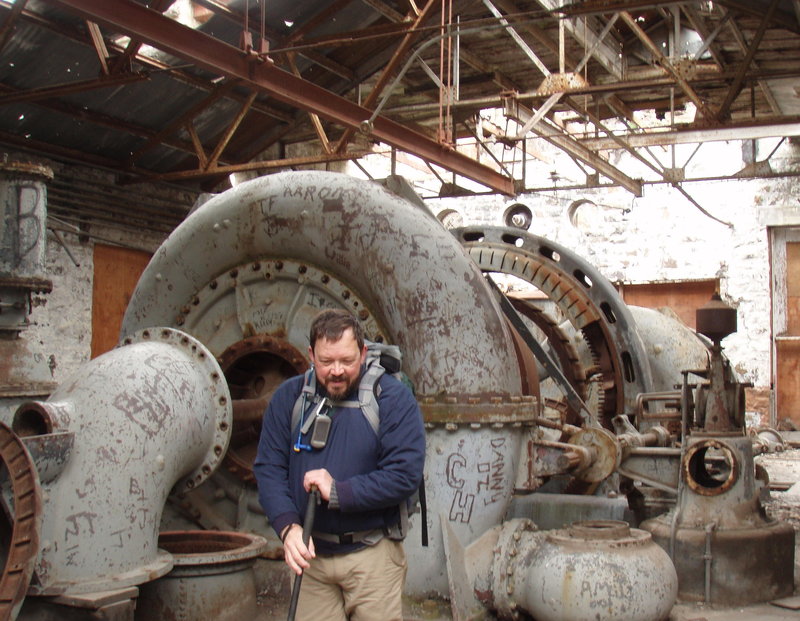
This was a really fun hike down a gorgeous canyon in the high desert. We started at White River Falls, explored some cool old buildings from the old power plant, and then meandered down to the Deschutes.

February 7, 2011

5 miles / 750 feet gained

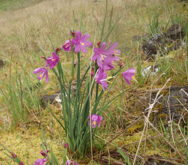
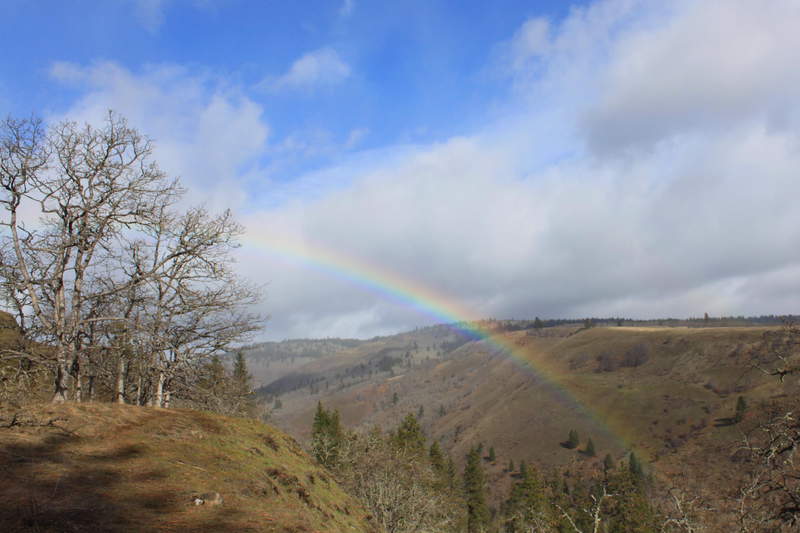
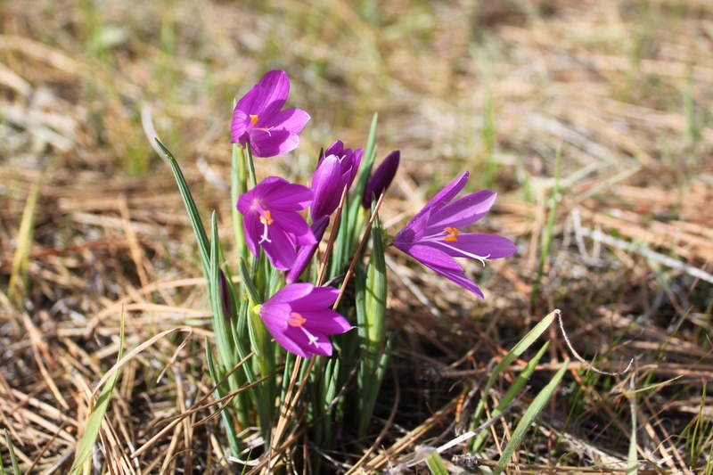
Jane and I rambled around the meadows between Major Creek and Catherine Creek. Grass widows were just starting to pop up.

February 4, 2011

6 miles / 2,000 feet gained

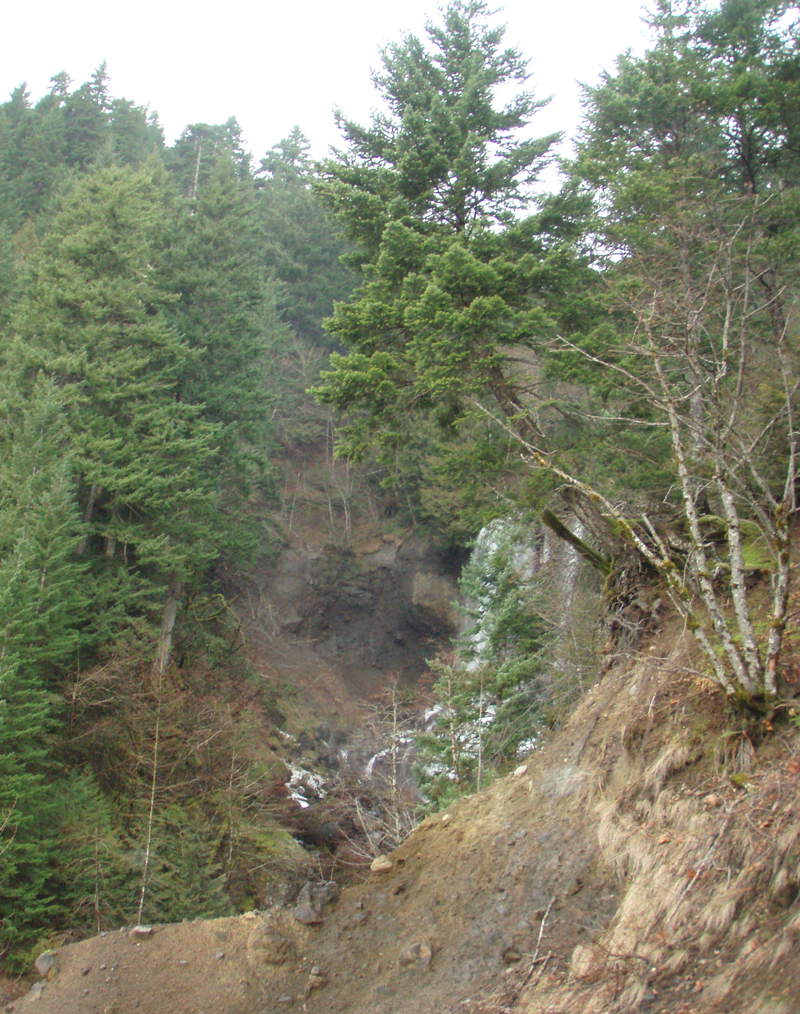
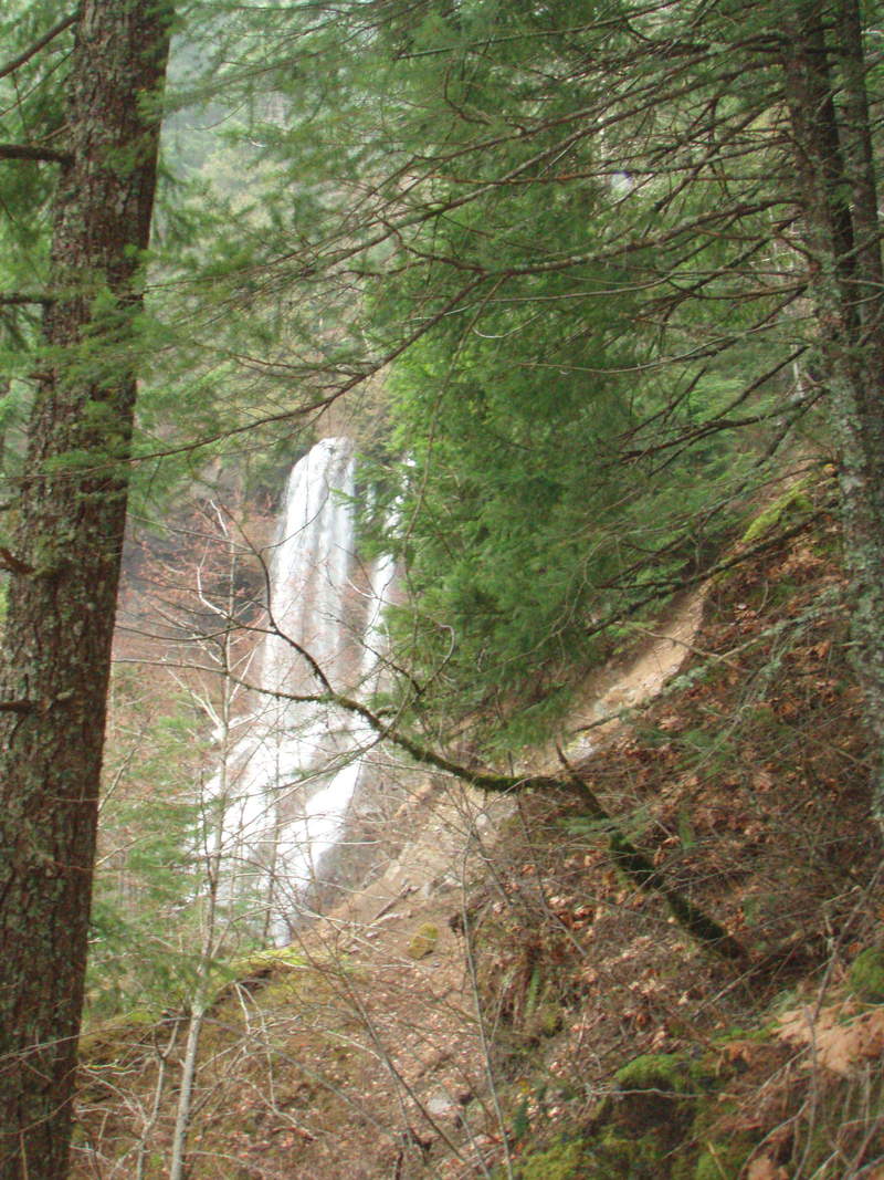
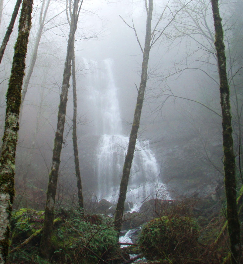
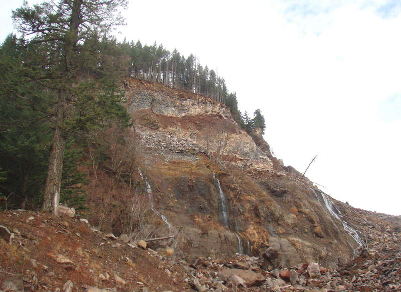
I brought Meghann up to see the slide and try to get a look at Greenleaf Falls

January 30, 2011

6 miles / 1,000 feet gained

I moved my game camera to the Cedar Falls area.

January 24, 2011

6 miles / 1,750 feet gained

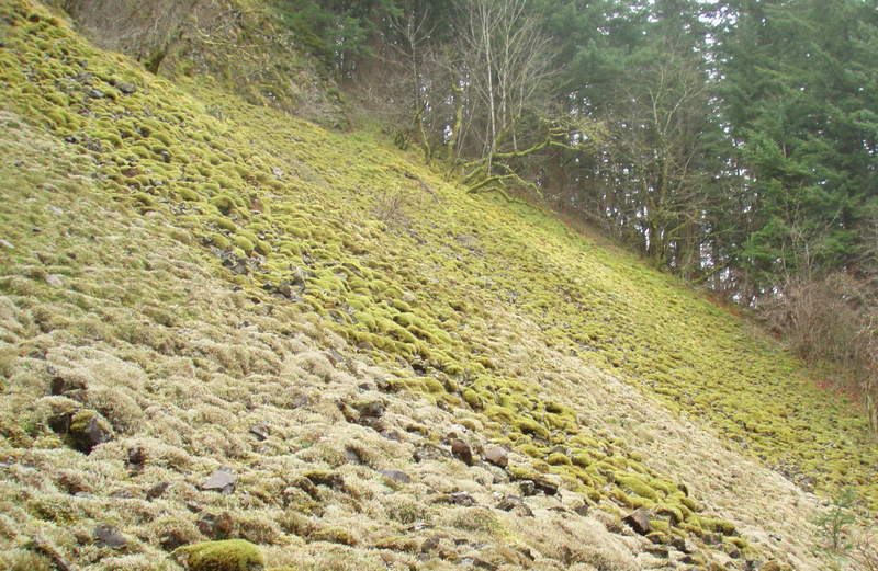
I wanted to show Jane the Greenleaf slide. We came in from Blue Lake.

January 23, 2011

8 miles / 2,000 feet gained

I placed a game camera in the Cedar Creek area behind Aldrich Butte and returned several times in Jan and February. No luck with critter shots.

January 22, 2011

5 miles / 1,500 feet gained

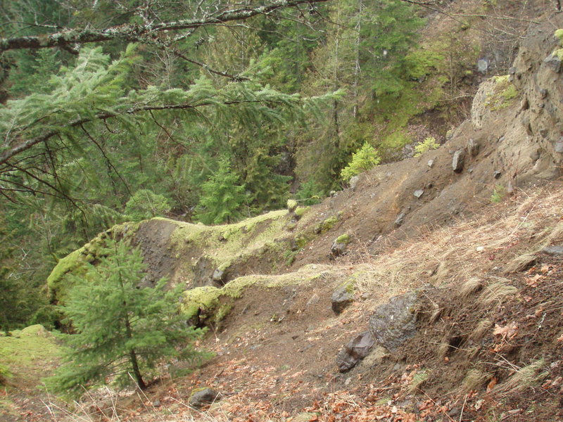
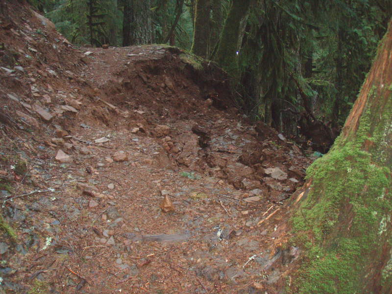
I returned to the same trail a week later looking for my gps. Never found it, but in just 8 days all the snow had melted and two new washouts appeared on the trail