December 31, 2011 Balch Canyon 4.5 miles 1,000 feet gained
jon
Email updates
Subscribe to jon's hikes
Hikes by jon in 2011
December 31, 2011 Balch Canyon 5 miles 1,000 feet gained
December 30, 2011 Oneonta 5.5 miles 1,250 feet gained
December 28, 2011 Silver Star Mountain 6.5 miles 2,500 feet gained
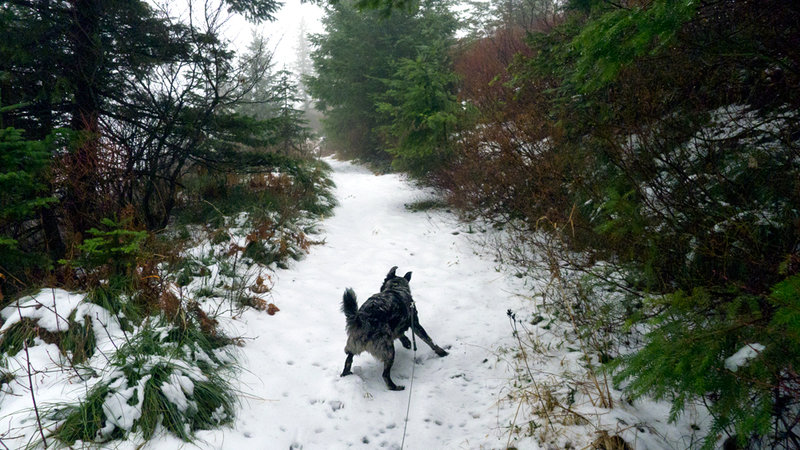
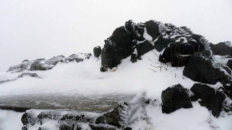
December 24, 2011 City of Portland Reservoir Number 3 5 miles 750 feet gained
December 22, 2011 Angels Rest 4.5 miles 1,500 feet gained
December 19, 2011 Dog Mountain 6 miles 2,750 feet gained
December 12, 2011 Devils Rest 4.5 miles 1,750 feet gained
November 30, 2011 Nesmith Point 10 miles 3,750 feet gained
November 20, 2011 Angels Rest 5 miles 1,500 feet gained
30-something degree weather and high winds did not deter people from hiking in t-shirts and sweatpants.
November 15, 2011 Nick Eaton 10 miles 4,000 feet gained
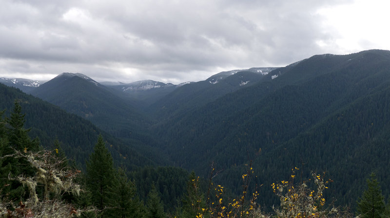
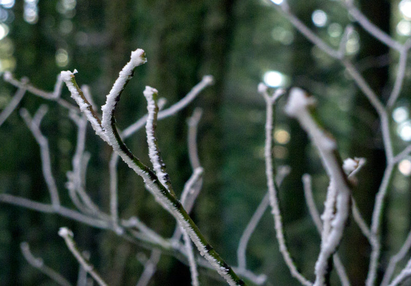
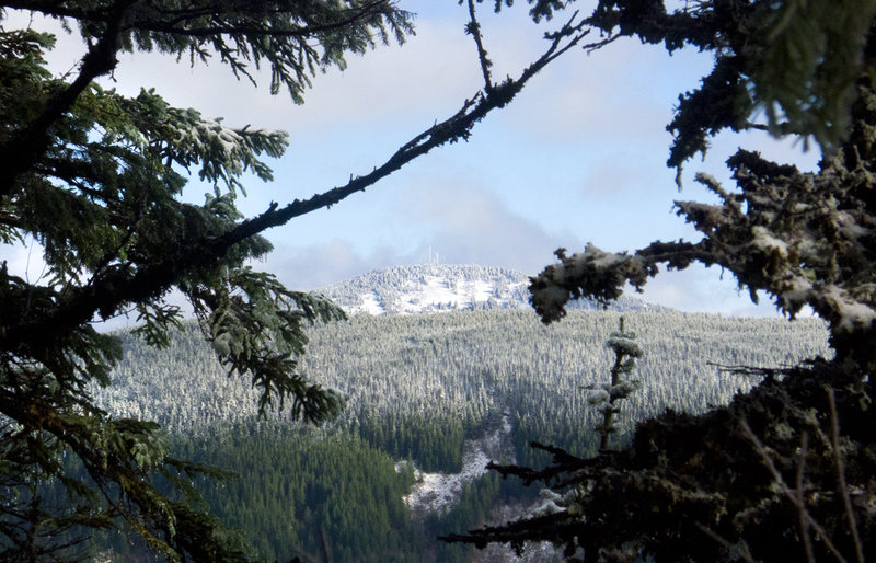
This was sorta a bust. The original plan was a loop starting up Nick Eaton Ridge, and then taking Casey Creek trail back to Herman Creek. Fairly simple. Unfortunately, there was enough snow on top of the ridge that I couldn't find the CC trail intersection. I hiked up and back a fair amount to see if there was a sign, flag, marker, anything to denote an inte...
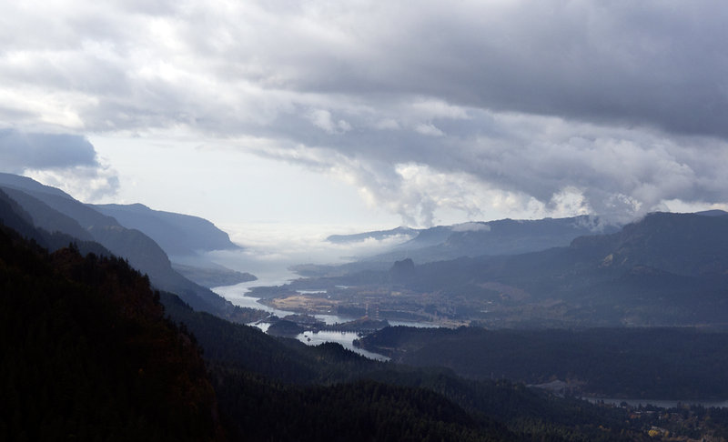
November 13, 2011 Angels Rest 5 miles 1,500 feet gained
Weather was good, and almost no one was there. A nice late afternoon hike.
November 2, 2011 Tom Dick and Harry Mountain 6.5 miles 1,750 feet gained
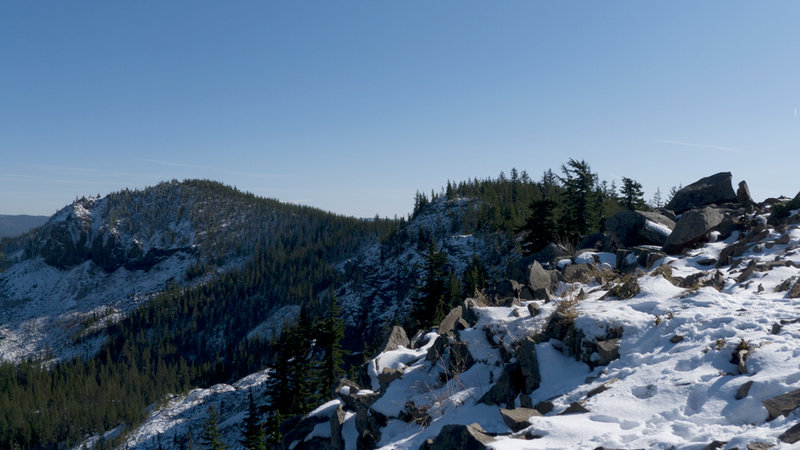
My original thought was to get up to Cooper Spur before the coming wet weather. Unfortunately, my brain wasn't in Winter Mode yet because I forgot to bring chains, which made my attempt at driving the Civic up an icy Cloud Cap Road comical if not idiotic. I turned back, went up to Timberline, then headed to TDH for a quick hike. Snow on the trail started aro...
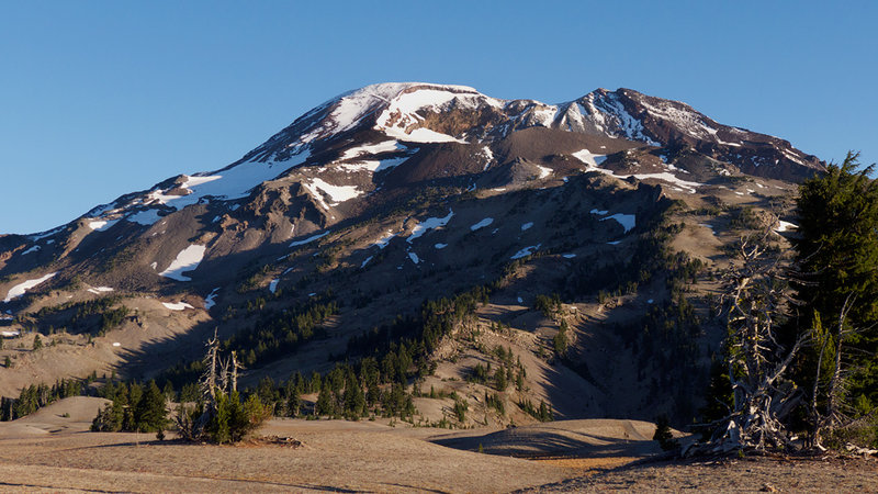
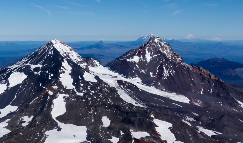
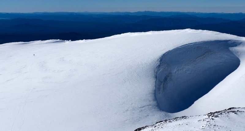
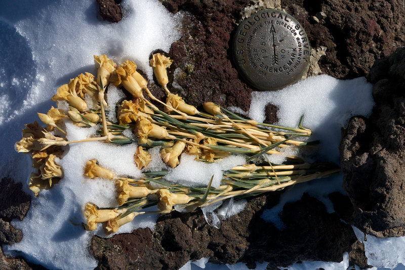
October 17, 2011 South Sister 12 miles 5,000 feet gained
I swore I would never do this one again with no snow coverage up on the cone. Scree is the absolute worst hiking surface on the planet. Well anyway, after seeing some of the recent photos of South Sister I thought that I'd give it a go, thinking that there would be enough snow up there to make the descent not completely awful. . . I was sorta right. SS so fa...
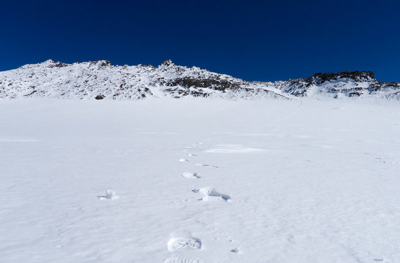
October 12, 2011 Mount Defiance 12 miles 5,000 feet gained
I think I hiked this in the reverse that others normally do: by going up Starvation Ridge, and coming down the Mt. Defiance trail. Higher up, some fall colors have started showing and everything was really wet. There was one person camping up near the radio towers, but otherwise empty on the trail. I was worried about slipping everywhere on my way down, but ...
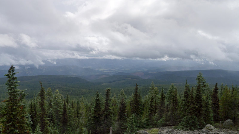
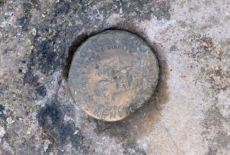
October 4, 2011 4.5 miles 1,750 feet gained
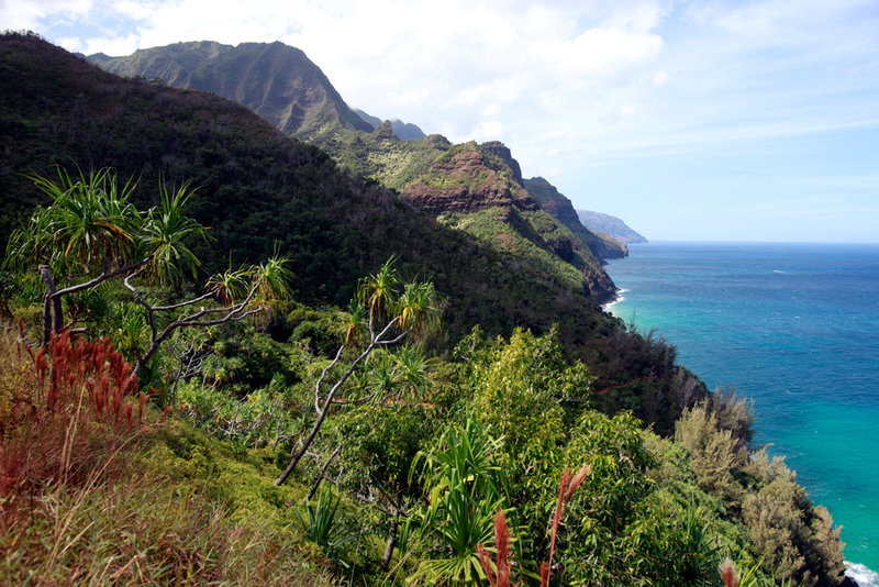
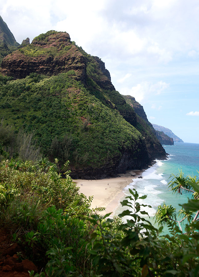
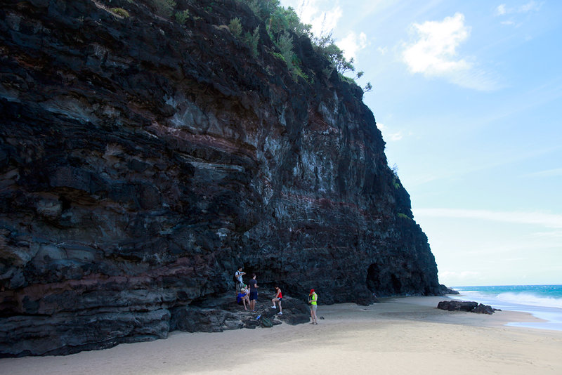
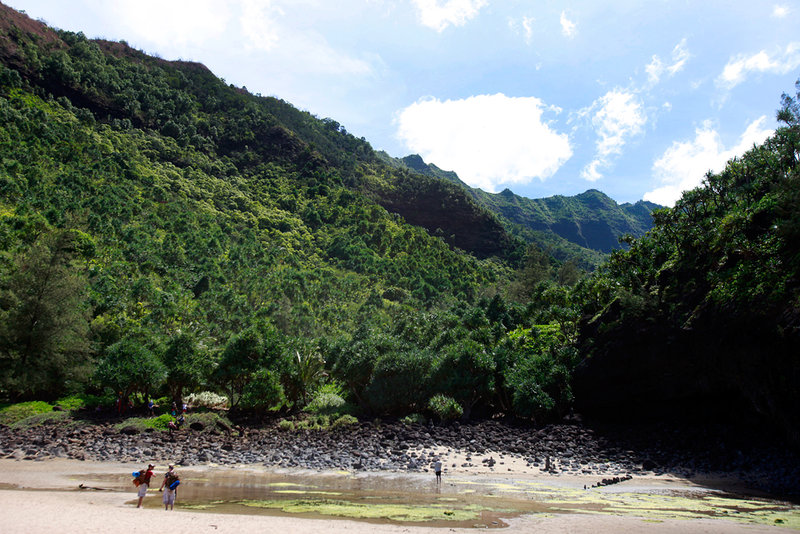
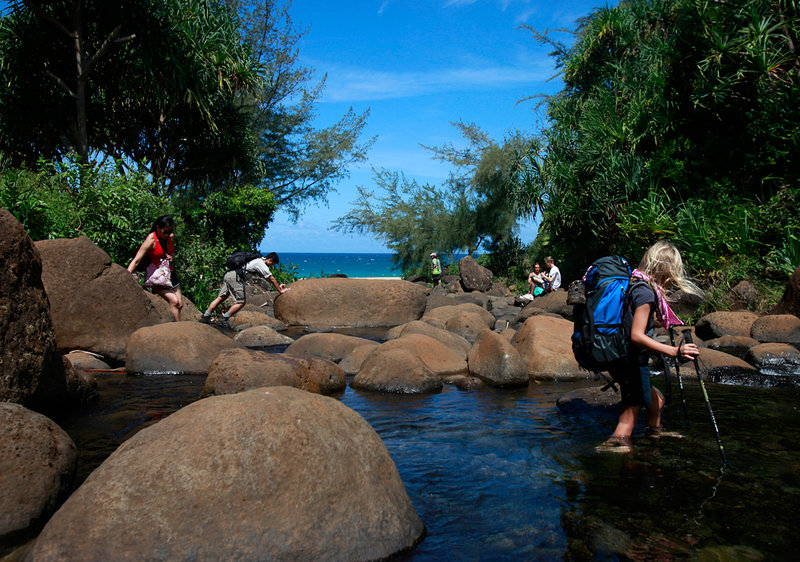
Up and Down, Up and Down, Up and Down. This short North Coast hike to Hanakapi'ai Beach tops out at about 600 feet, but in the two miles to get there, it feels that you've topped out a dozen times. This trail actually continues for a total of eleven miles along the shore, ending at the secluded Kalalau Beach; a gorgeous area that has its own permanent "homel...
October 2, 2011 6 miles 2,250 feet gained
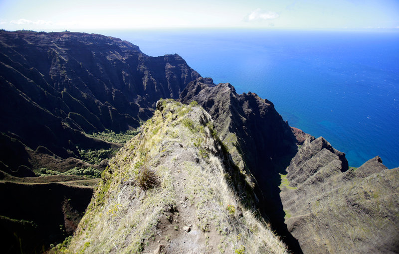
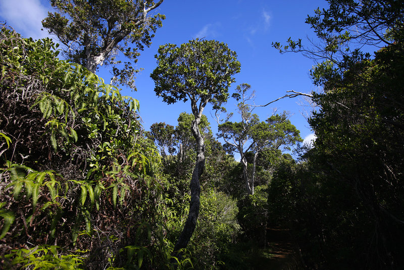
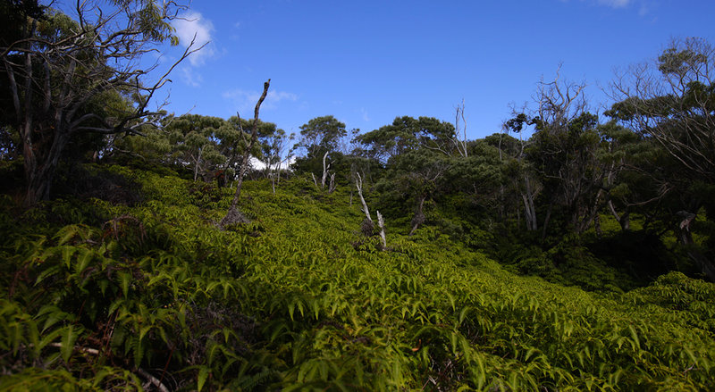
September 29, 2011 6 miles 2,000 feet gained
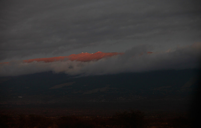
September 21, 2011 Lamberson Butte 11 miles 2,750 feet gained
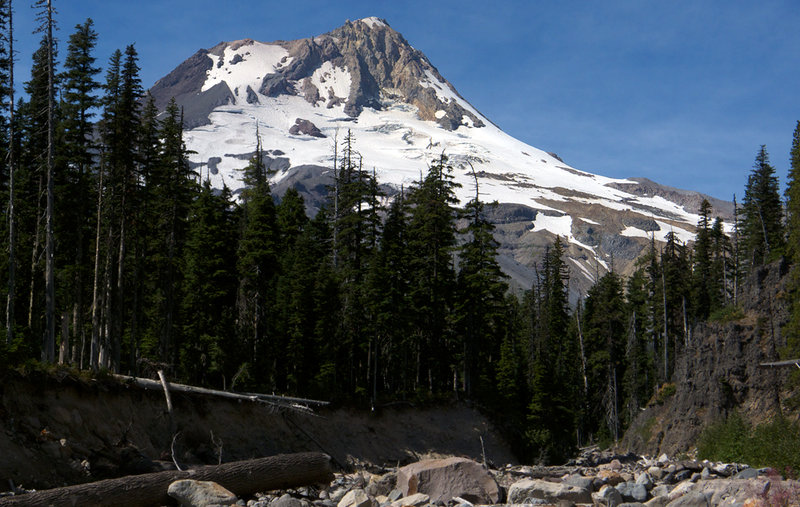
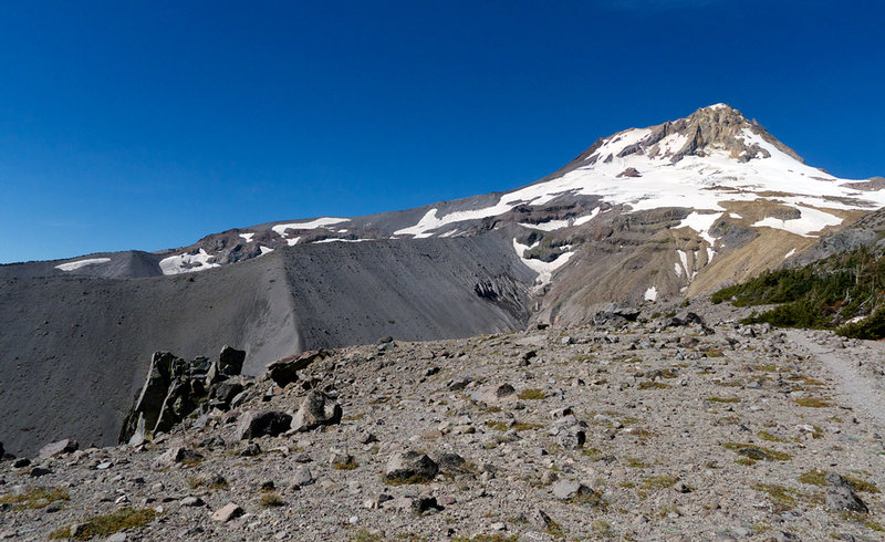
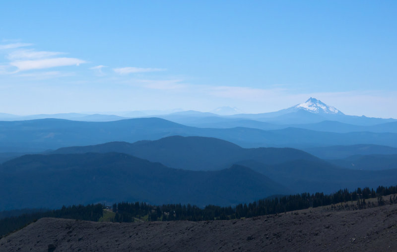
September 16, 2011 Devils Rest 7 miles 2,500 feet gained
With time before work this morning, I thought it might be fun to see how quickly I could hike up to Devil's Rest. This isn't normally my type of thing, but I had the itch so I went with it. I hit Angel's Rest in 40 minutes and continued up, but unfortunately a wasp flew into my shirt and stung me right below my shoulder blade. This made the rest of the trip ...
September 3 to September 5, 2011 Tranquil Lake 23 miles 7,000 feet gained 2 nights
I enjoyed a wonderful weekend with our large group. We camped out on Lake Stuart and, as Kyle mentioned, a few of us hiked up Aasgard Pass to check out the upper basin. We started our climb a bit late in the day, so I didn't get to see all of the upper alpine lakes like I wanted, but maybe next year. Colchuck Lake is gorgeous, and I'm definitely going to try...
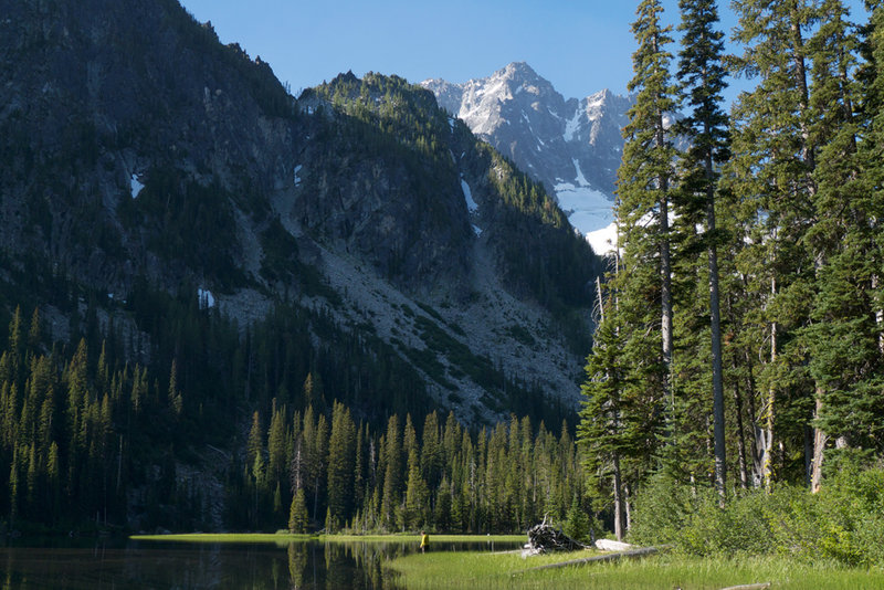
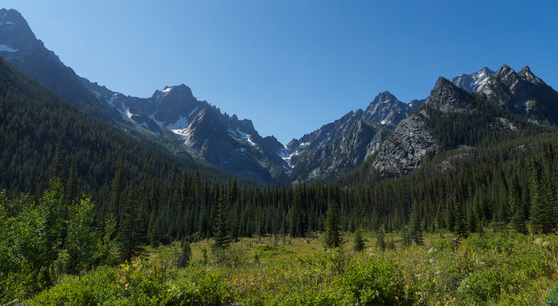
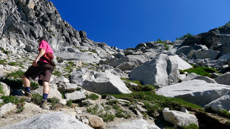
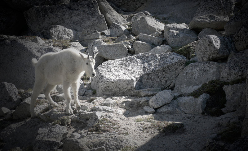
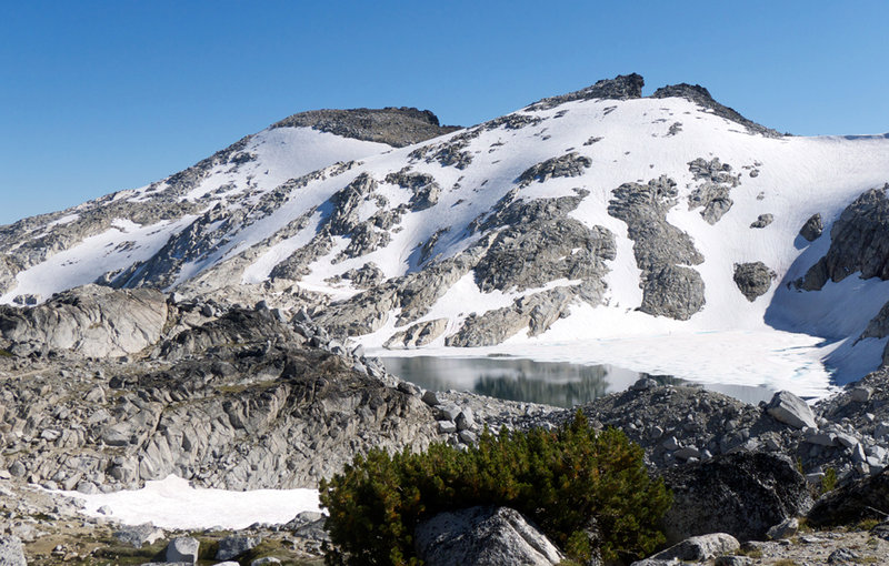
August 29, 2011 Tom Dick and Harry Mountain 7 miles 1,750 feet gained
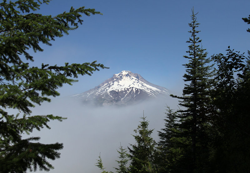
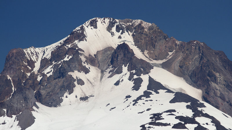
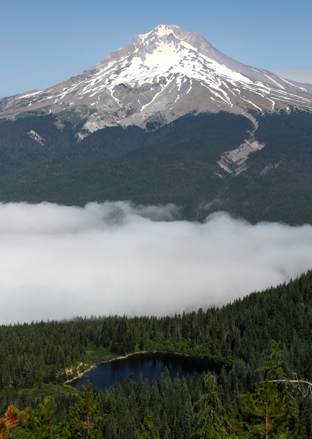
I decided to escape the pea soup clouds of Portland this morning in search of sunshine. Bringing my SLR and 70-200mm lens, I thought it'd be fun to get some close-up shots of Mt. Hood from across the highway on TDH. Lots of people around Mirror Lake, but only a couple once I got past it.
August 7, 2011 Broken Top 12.5 miles 3,750 feet gained
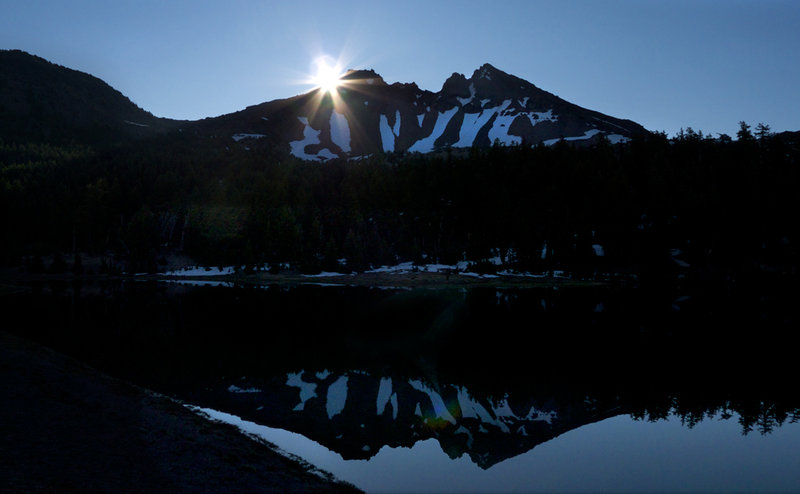
An almost-summit. A couple of friends and I set out from the Green Lakes TH around 5:30am on what turned out to be a gorgeous day in Central Oregon. The first 4.5 miles were relatively flat as we made our way up Fall Creek, then turning East at the lakes toward an unofficial climber's trail (unofficial in the sense that it wasn't on my Geo-Graphics map) that...
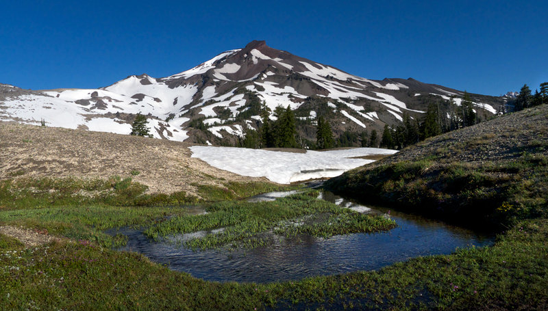
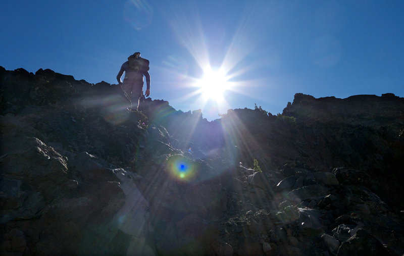
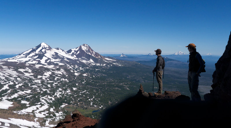
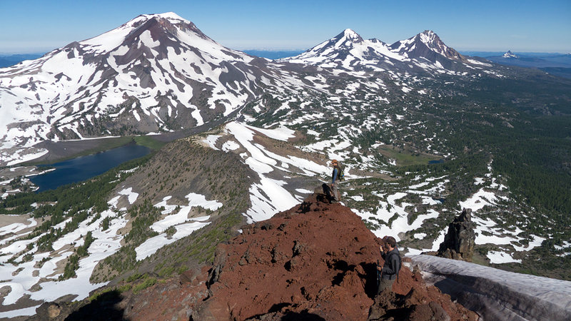
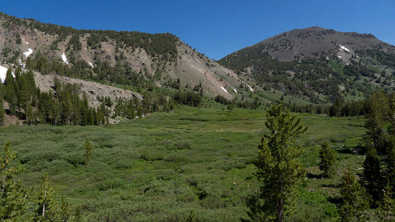
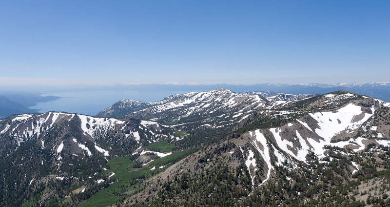
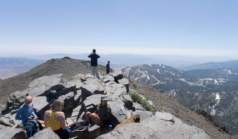
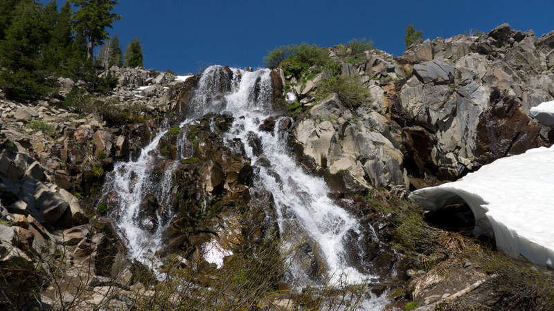
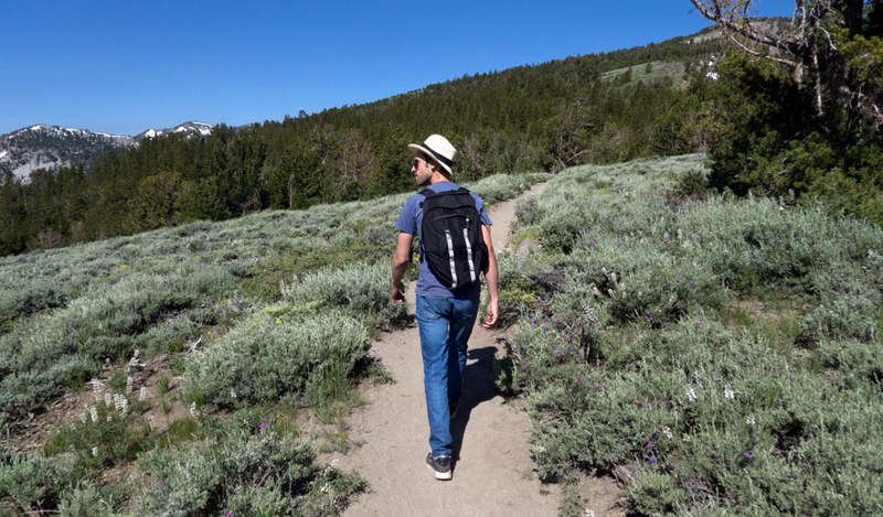
July 27, 2011 Carson Range 10 miles 2,250 feet gained
While visiting a friend in Reno we struck out for this popular day hike near Lake Tahoe. It's fairly stunning how little snow the east side of the Tahoe Basin receives because even at 10K feet, there were only patches here and there, versus the west side where we spotted a few skiers enjoying their late snow season. The trail starts off a bit crowded, as it ...
July 23, 2011 Mount Saint Helens 9 miles 4,500 feet gained
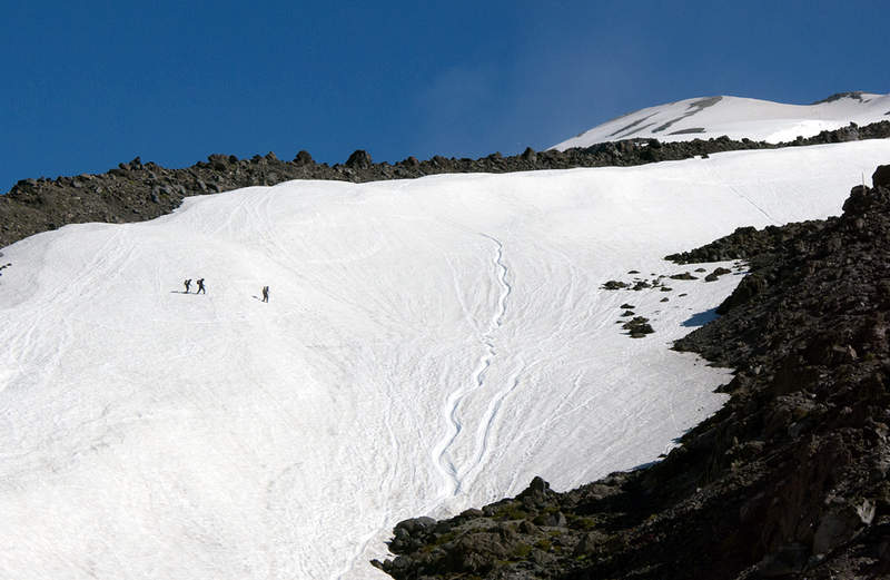
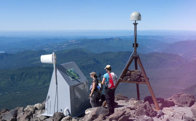
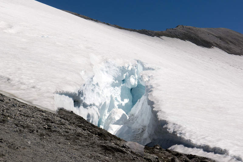
This turned out to be a last-minute thingy. A good friend of mine and his fiancée signed up for this one a few months ago with their co-workers, but I first heard about it last week. He wanted to know if I could make it, so I tried all week and finally was able to snag a couple of permits on Friday for myself and the girlfriend. Quick tip: if you want to go ...
July 15, 2011 Nesmith Point 10 miles 3,750 feet gained
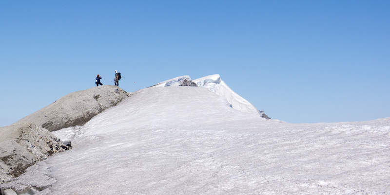
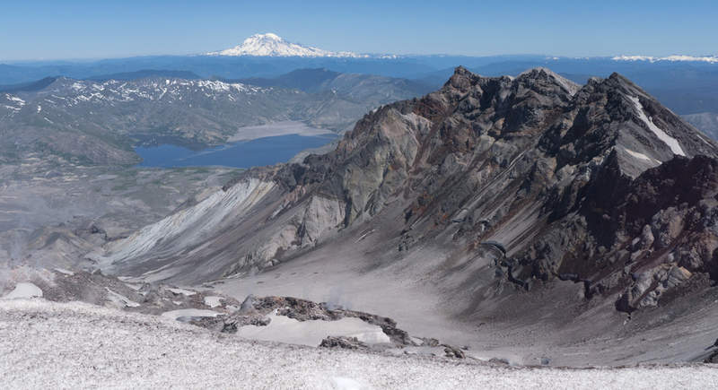
The middle section is overgrown a bit but other than that, it was nice hiking here again without having to lug the snowshoes. On the way back down I met a man wearing a blood-soaked cap whom earlier had slipped and fell on his head, so I walked with him the rest of the way to make sure someone would be around in case he passed out. The guy was a trooper howe...
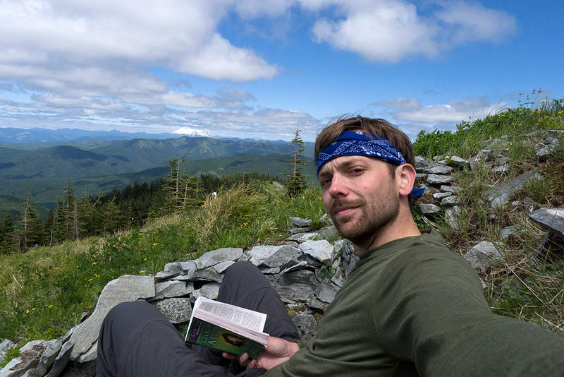
July 8, 2011 Starway 5.5 miles 2,500 feet gained
The original plan was to take the Starway Trail to Little Baldy and Bluff Mountain, however once I hit this unnamed peak, I found a great place to hang out and decided to read for awhile instead. Great 360˚ views.
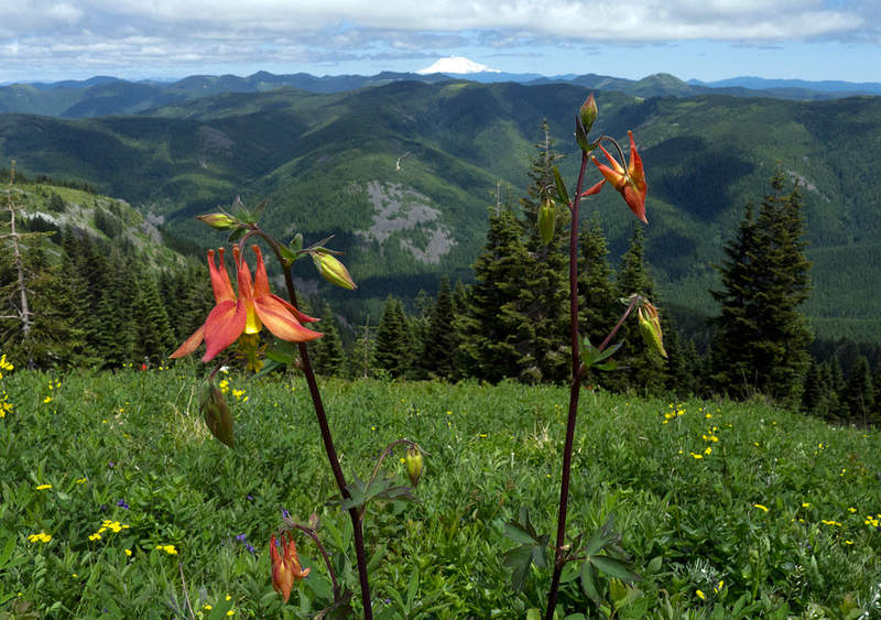
June 23, 2011 West Benson Way 10 miles 4,500 feet gained
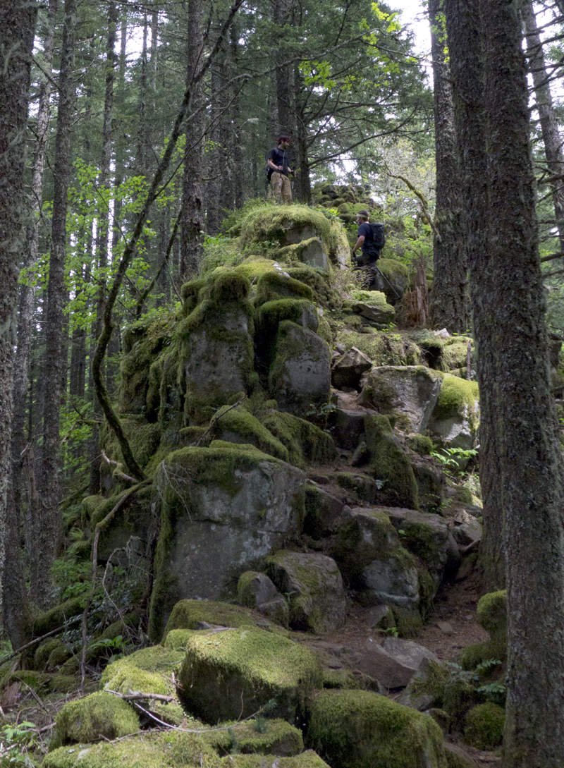
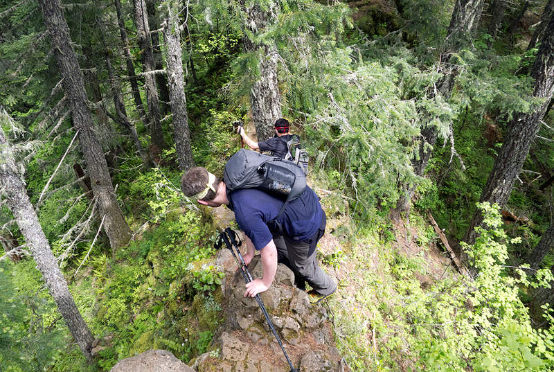
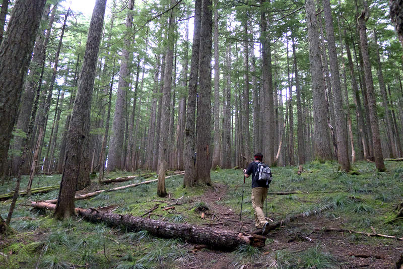
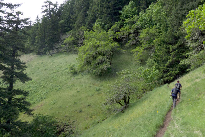
June 17, 2011 Bandera Mountain 7 miles 3,000 feet gained
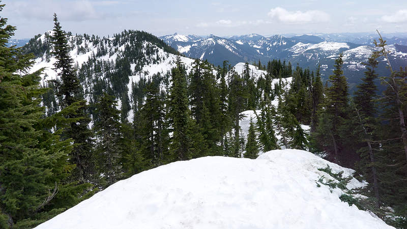
While visiting a few friends in Seattle I had half-day to myself, so I drove out into the Cascades for this short hike. I only went as far as Little Bandera, which is a peak separated by a half-mile ridge from its slightly taller namesake, mostly due to my lack of a traction device and a heavily corniced ridge. The views were great and the crowds were small ...
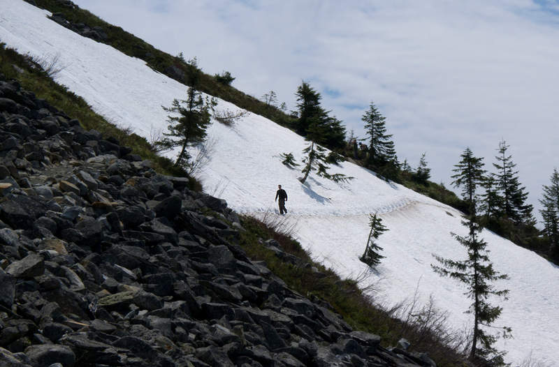
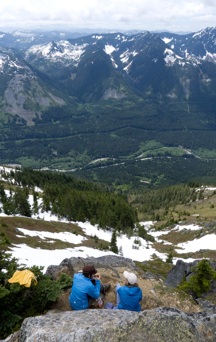
June 8, 2011 Mount Saint Helens 10 miles 5,500 feet gained
A near-perfect day for this one . . . Kyle's TR says it all. I used snowshoes to about 6000' but they weren't necessary, and if I could do it again I'd leave them at home. Glissading conditions were great and according to the gps, I got up to 15mph! What a blast.
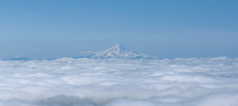
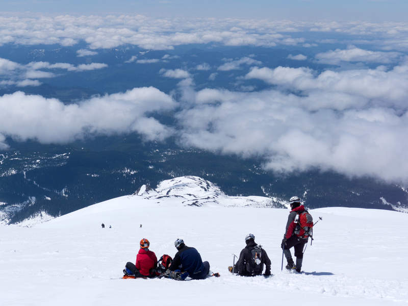
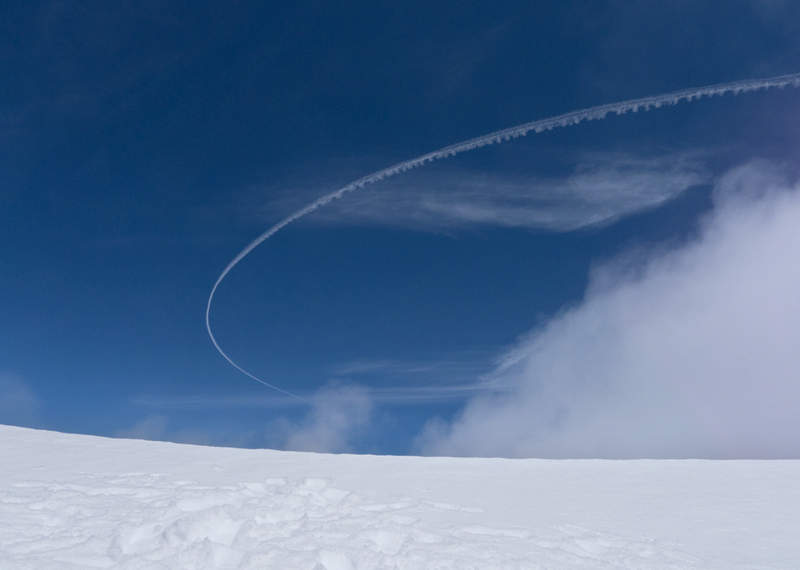
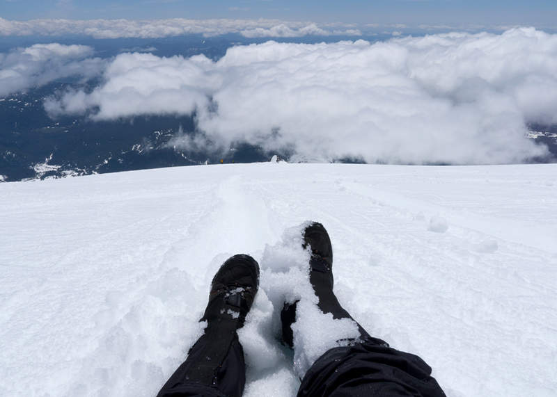
June 6, 2011 Silver Star Mountain 6.5 miles 2,250 feet gained
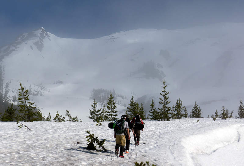
Went out and hiked this early in the morning and found the snow nice and consolidated. Descended along the ridge and watched the mist roll over everything. A nice start to the week.
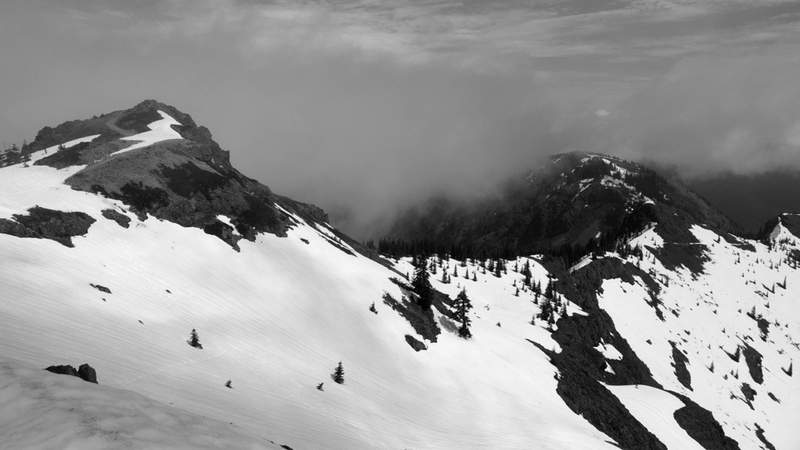
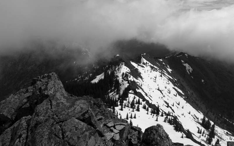
June 3, 2011 Yeon Mountain 10.5 miles 3,750 feet gained
A wonderful day yesterday to get out and tackle this interesting loop. The first 2.5 miles were a real grind, but checking out Rock of Ages Arch and Devil's Backbone made the early going worth it. At the top, I hiked back toward Oneonta creek fording at least six creeks, the last of which had a huge fallen tree to walk on. The descent was wet and muddy causi...
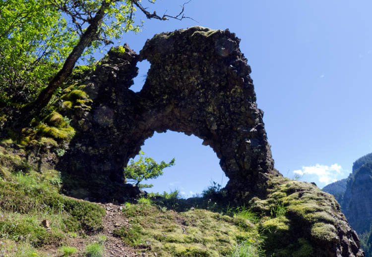
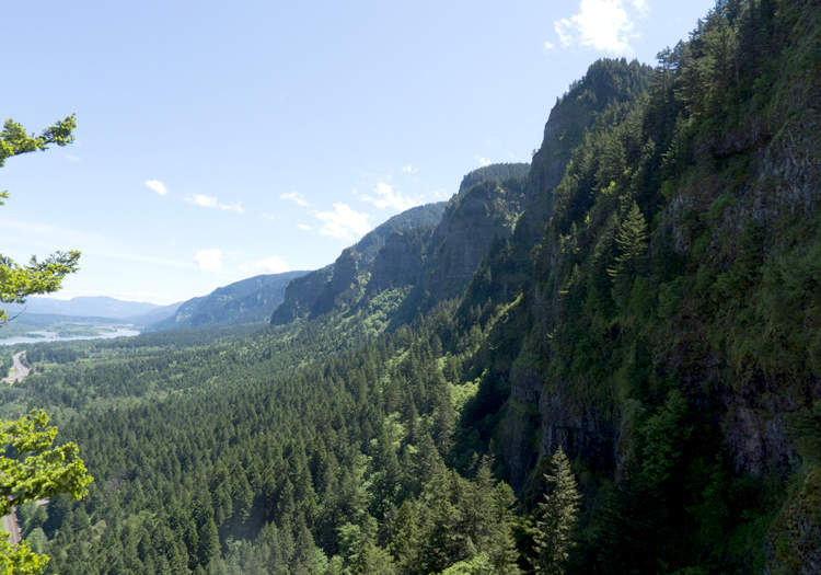
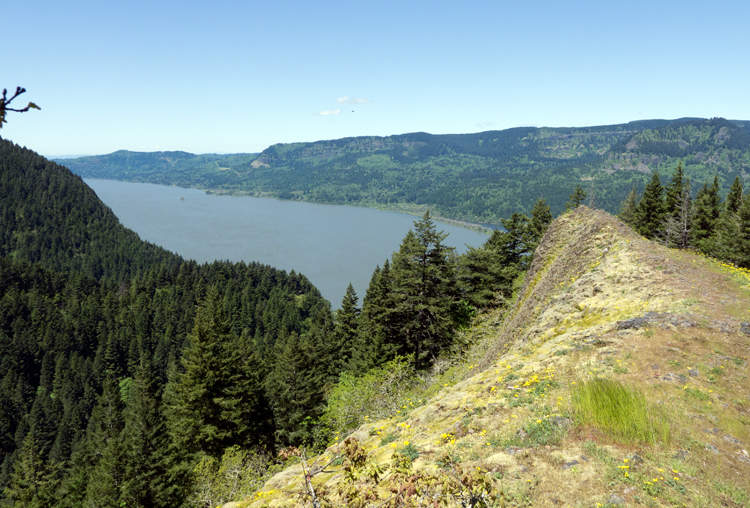
May 29, 2011 Tumalo Mountain 3.5 miles 1,500 feet gained
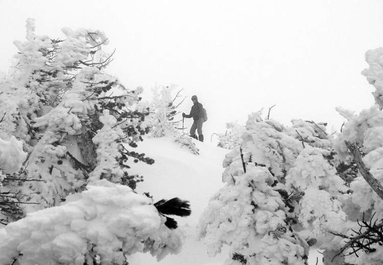
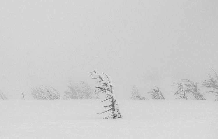
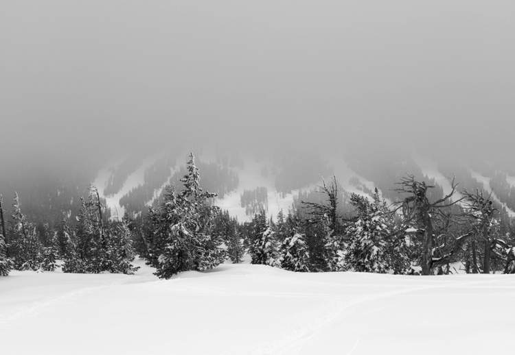
May 24, 2011 Silver Star 5.5 miles 1,750 feet gained
I had great time, even though we were unsuccessful on getting to the summit. A combination of getting to the Grouse Vista trailhead way too late, and the mushy snow that even our snowshoes had trouble with, slowed us down enough to make the two friends I went with nervous about getting caught out in the dark. So they turned around about a half-mile from the ...
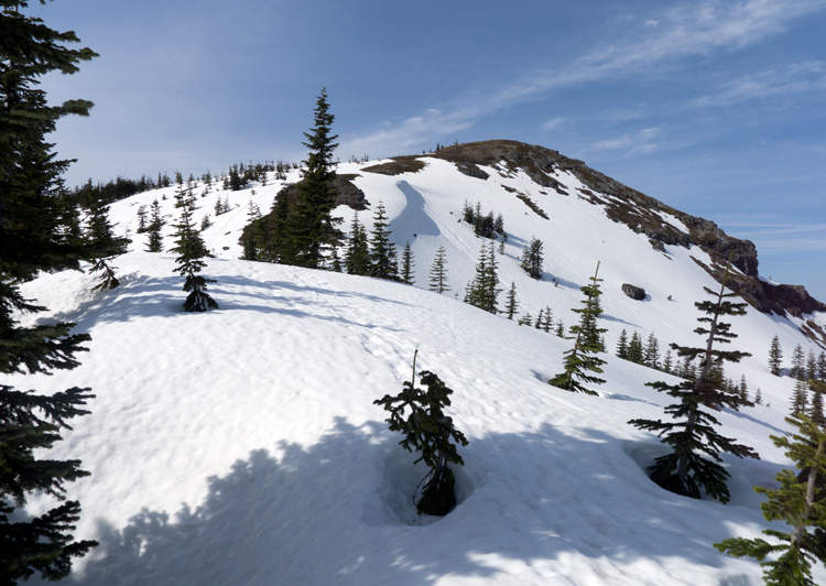
May 21, 2011 Dog Mountain 6 miles 2,750 feet gained
Went with the GF mid-afternoon to Dog Mountain. A lot people were parked in the lot, but almost no one was on the steep trail. Very windy and cold on top!
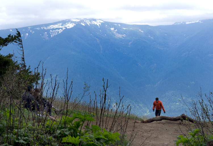
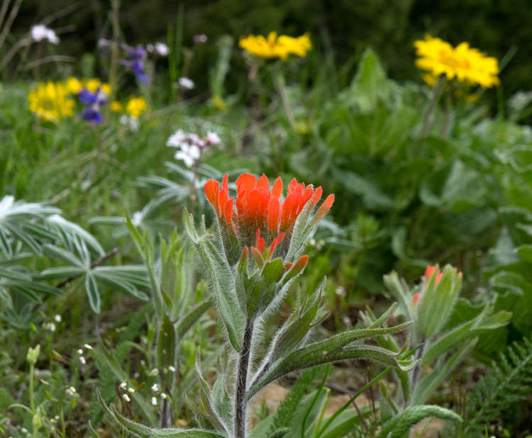
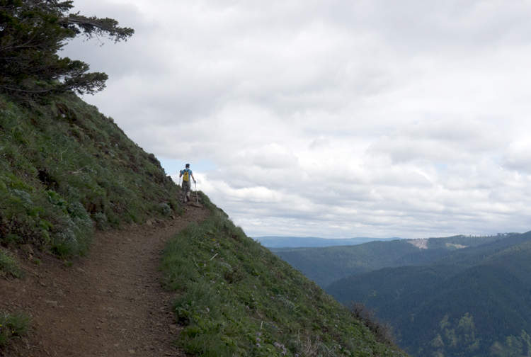
May 19, 2011 Table Mountain 9.5 miles 3,500 feet gained
Started this one from the unofficial Aldrich Butte parking area and immediately went the wrong way from my car and had to double back after about 15 minutes of walking around the front of the butte. Once I was on track, I had a blast. Not many people on the PCT and only one other person on the summit, who was celebrating his 66th birthday; a great day to do ...
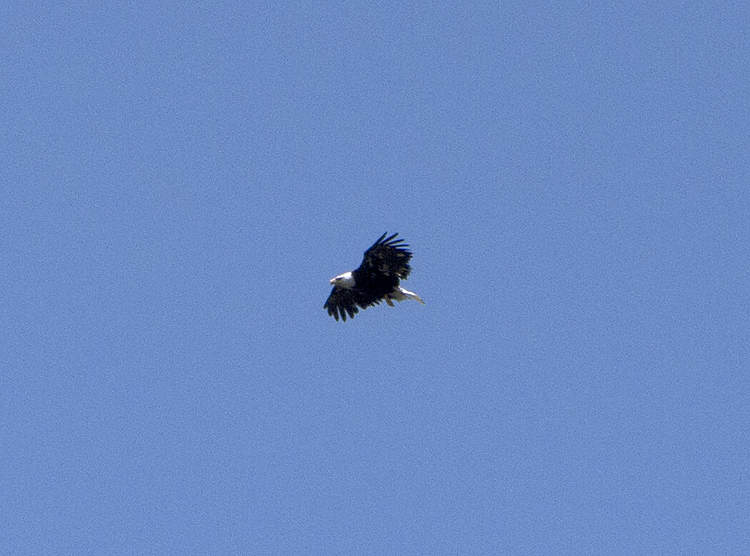
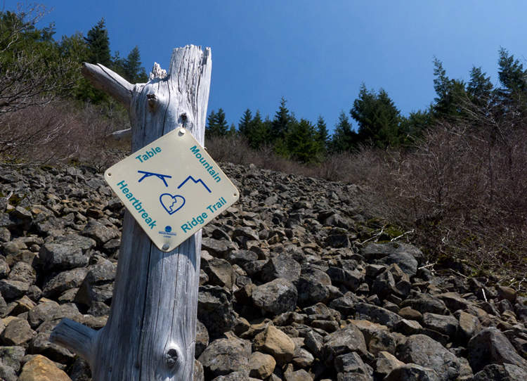
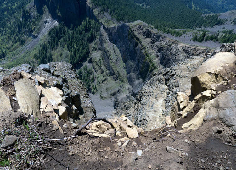
May 17, 2011 Devils Rest 7 miles 2,500 feet gained
Went with a friend up to Angel's Rest and on through to Devil's Rest. Rain the way up, sun the way down.
May 10, 2011 Nesmith Point 9 miles 3,750 feet gained
Had a great morning with this hike. Snow on the trail became continuous around 3100', but was packed in pretty well. Snowshoes were helpful, but aren't necessary.
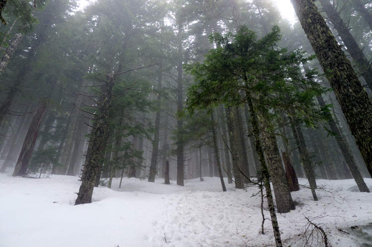
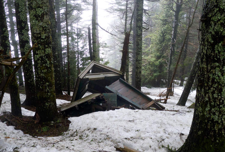
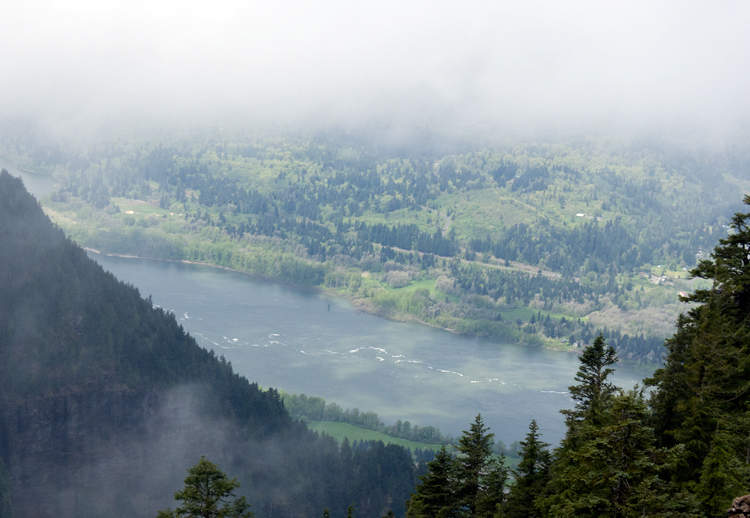
May 4, 2011 Pct: Mt Hood 20.5 miles 6,000 feet gained
Went on this crazy adventure with Shane and Kyle.
April 24, 2011 Ridge Cut-Off 8.5 miles 3,250 feet gained
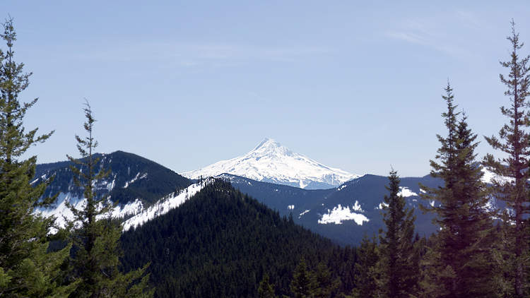
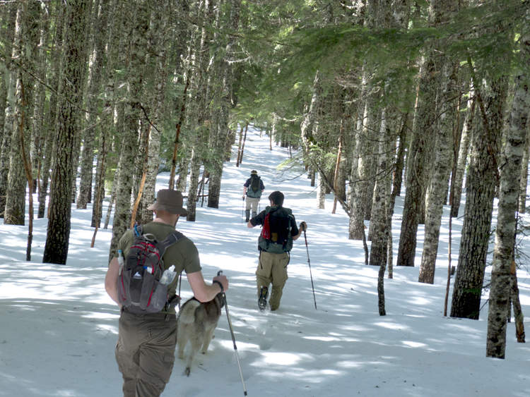
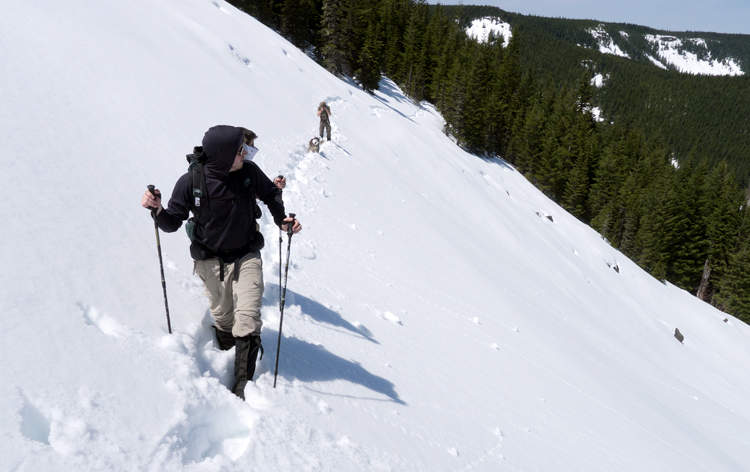
The weather was terrible driving out from Portland and I figured that I'd be hiking in full rainwear for the duration. Once I got to the trailhead however, the rain slowed to more of a thick mist, or, "normal." I took the Gorton Creek trail up to Indian Point, cut across the Ridge Cutoff Trail, turned SE up the Nick Eaton Trail for a short while, then turned...
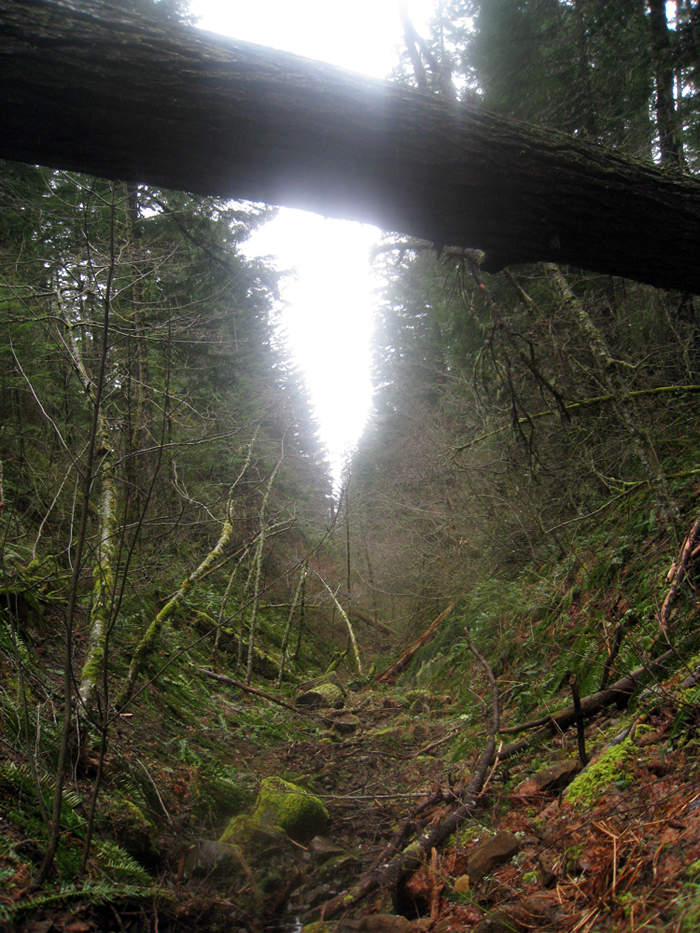
April 19, 2011 Columbia River Gorge National Scenic Area 9 miles 2,250 feet gained
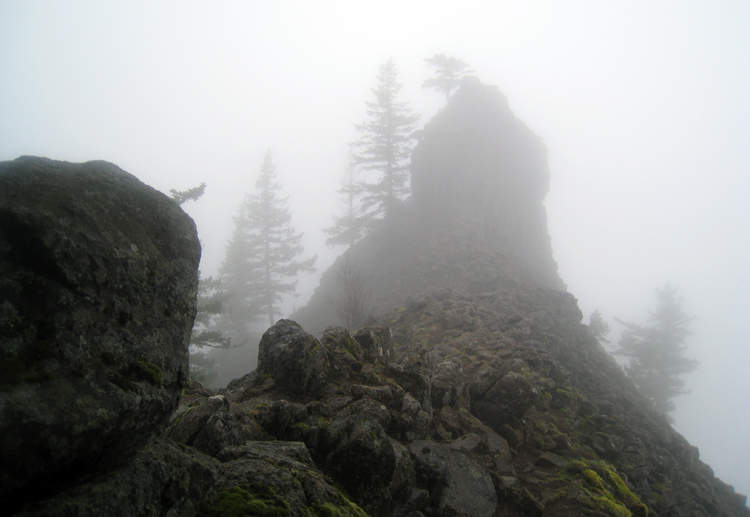
This was an out and back hike, rather than finishing up with the loop. The first few miles on the equestrian trail were rather boring but once I got off of it to head up the ridge, the trail became more varied. If you go, I'd advise not to wear shorts as there's a lot of brush on the trail. Also, at about 2700' I encountered a couple hundred yards of snow th...
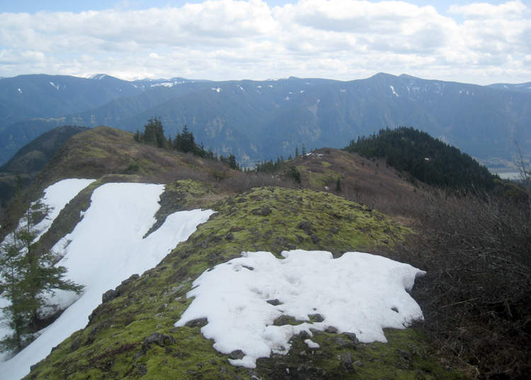
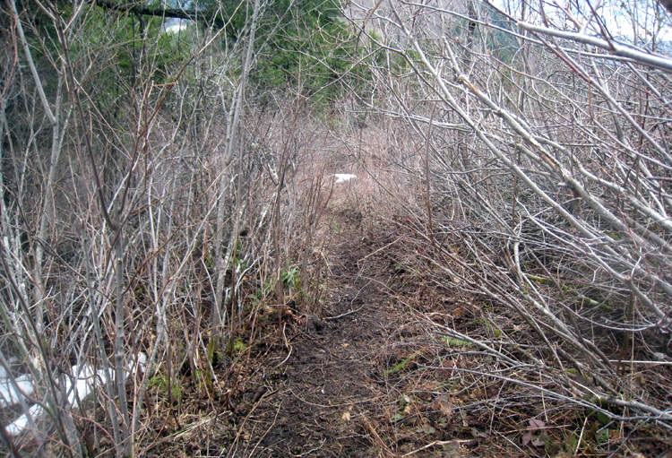
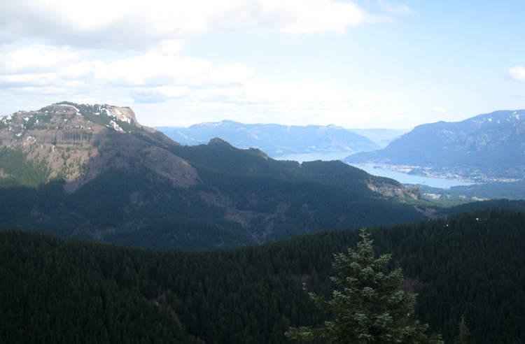
April 16 to April 17, 2011 Gillette Lake 6 miles 750 feet gained 1 night
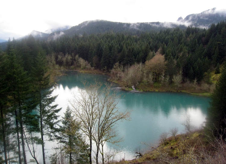
A very muddy trail, but great camping. Some websites have this roundtrip hike listed as <300' of elevation gain, but my gps track came out over 900'.
April 9, 2011 Saddle Mountain 5 miles 2,000 feet gained
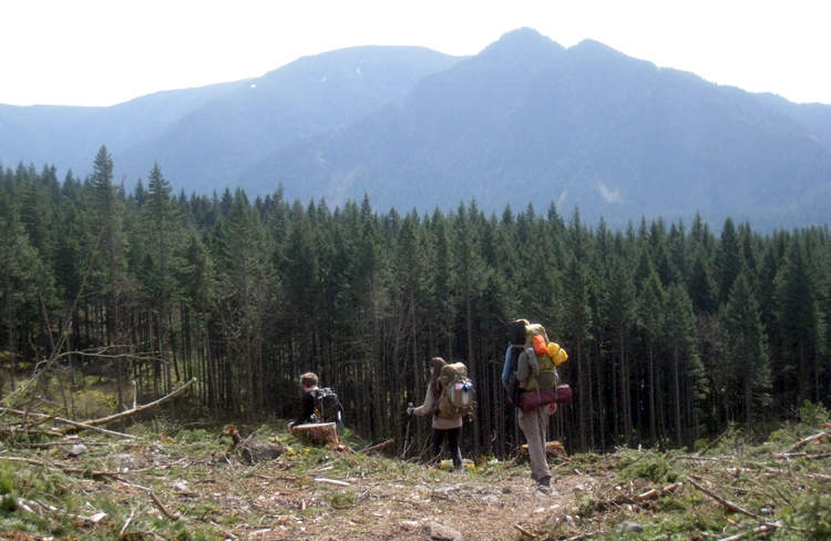
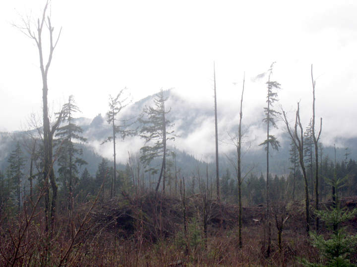
I hadn't been here before . . . a nice hike. We got to the trailhead kinda late in the day (around 3) so the sun that we had early on gave way to an intense, frigid wind and temperature drop. There were only three big patches of snow still left on the trail.
April 8, 2011 Archer Mountain 5 miles 2,000 feet gained
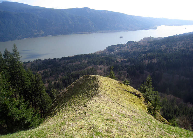
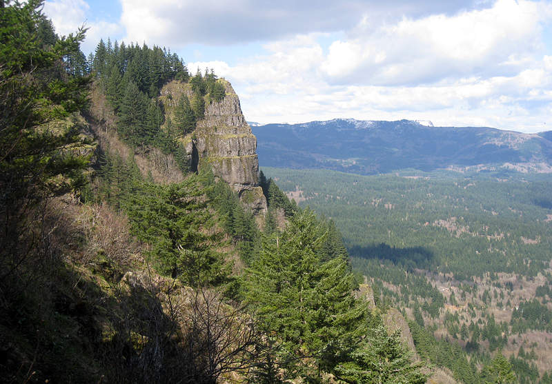
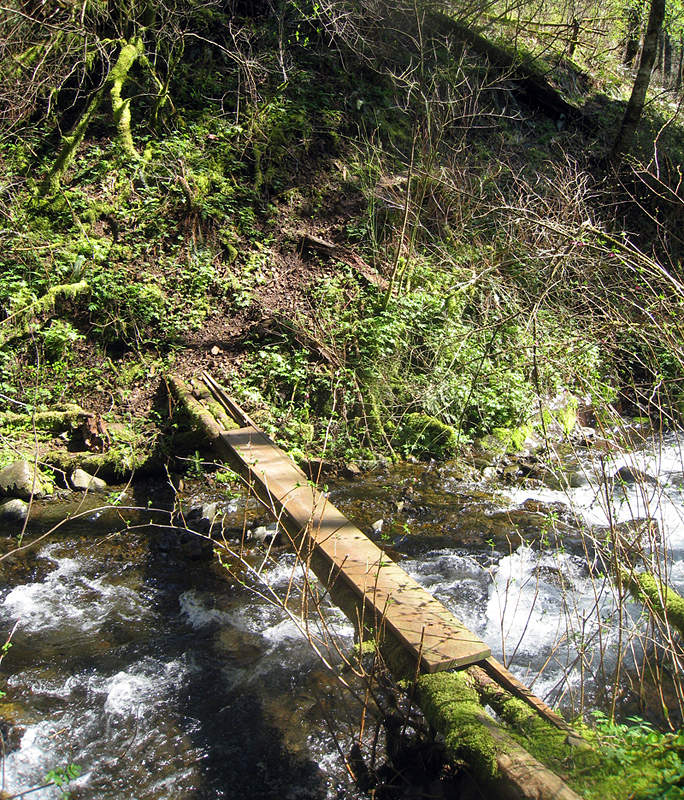
April 3, 2011 Coyote Wall 9 miles 2,000 feet gained
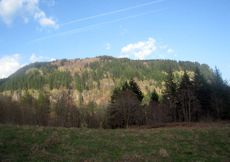
Great Scenery, but a bad day to forget my chapstick.
April 1, 2011 Munra Point 5 miles 2,000 feet gained
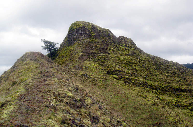
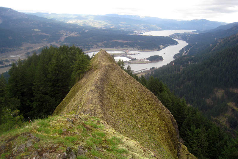
Munra Point is a fantastic hike; one that I probably won't be again doing alone. I've done this before with a friend, but by myself I spent half the time thinking, "Wow, if I slip here there's no one to get help, notify my next of kin, etc." I started from the Wahclella Falls trailhead and took #400 west for about 1.5 miles to the sorta unmarked Munra trailh...
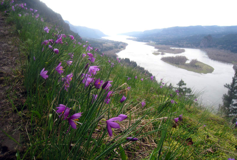
March 28, 2011 Kings Mountain 5 miles 2,500 feet gained
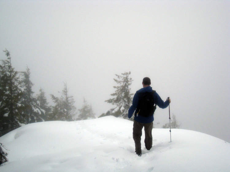
Went to King's Mountain on Monday with a friend because I thought that we'd actually have some clear skies in the afternoon. Unfortunately it was overcast, with no views from the top. The trail was snow free until about 2800 ft, where it got slushy, then turning into about two feet of snow near the top.
March 26, 2011 Gorge 6.5 miles 1,750 feet gained
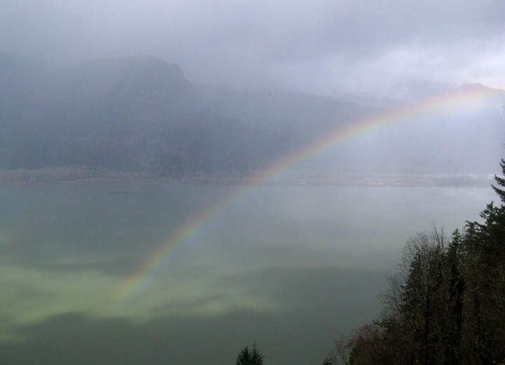
March 23, 2011 Hamilton Mountain 10 miles 2,750 feet gained