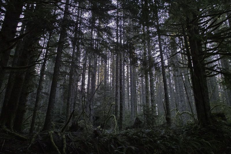
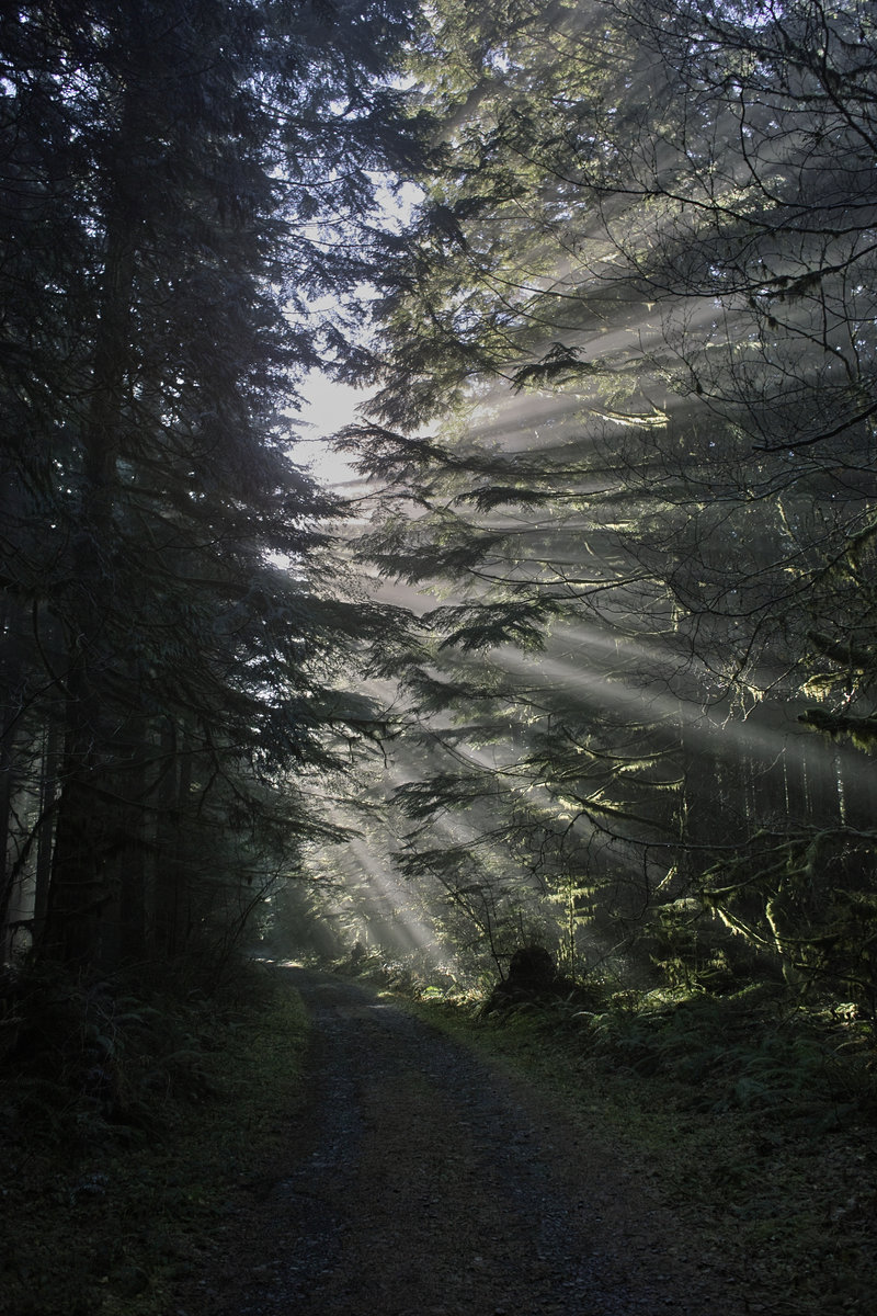
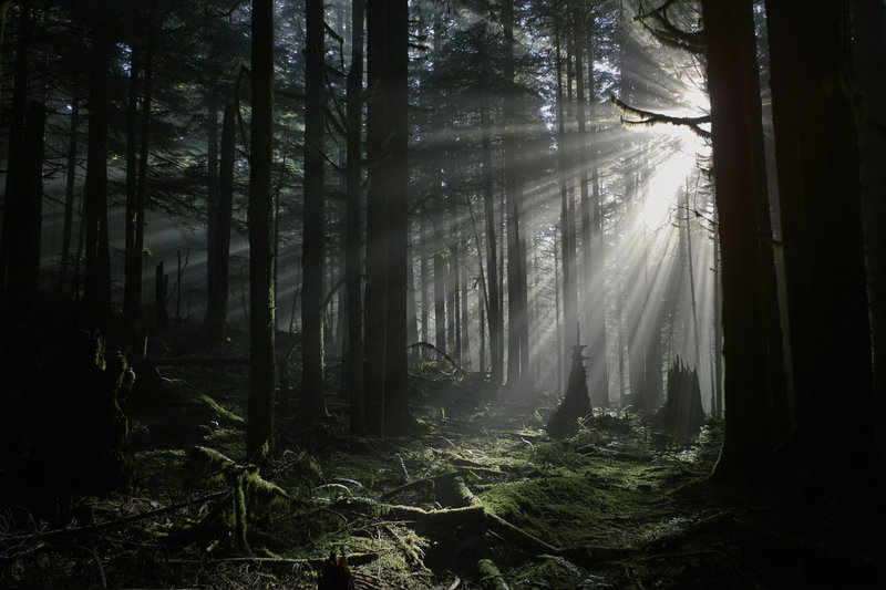
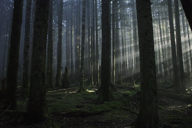
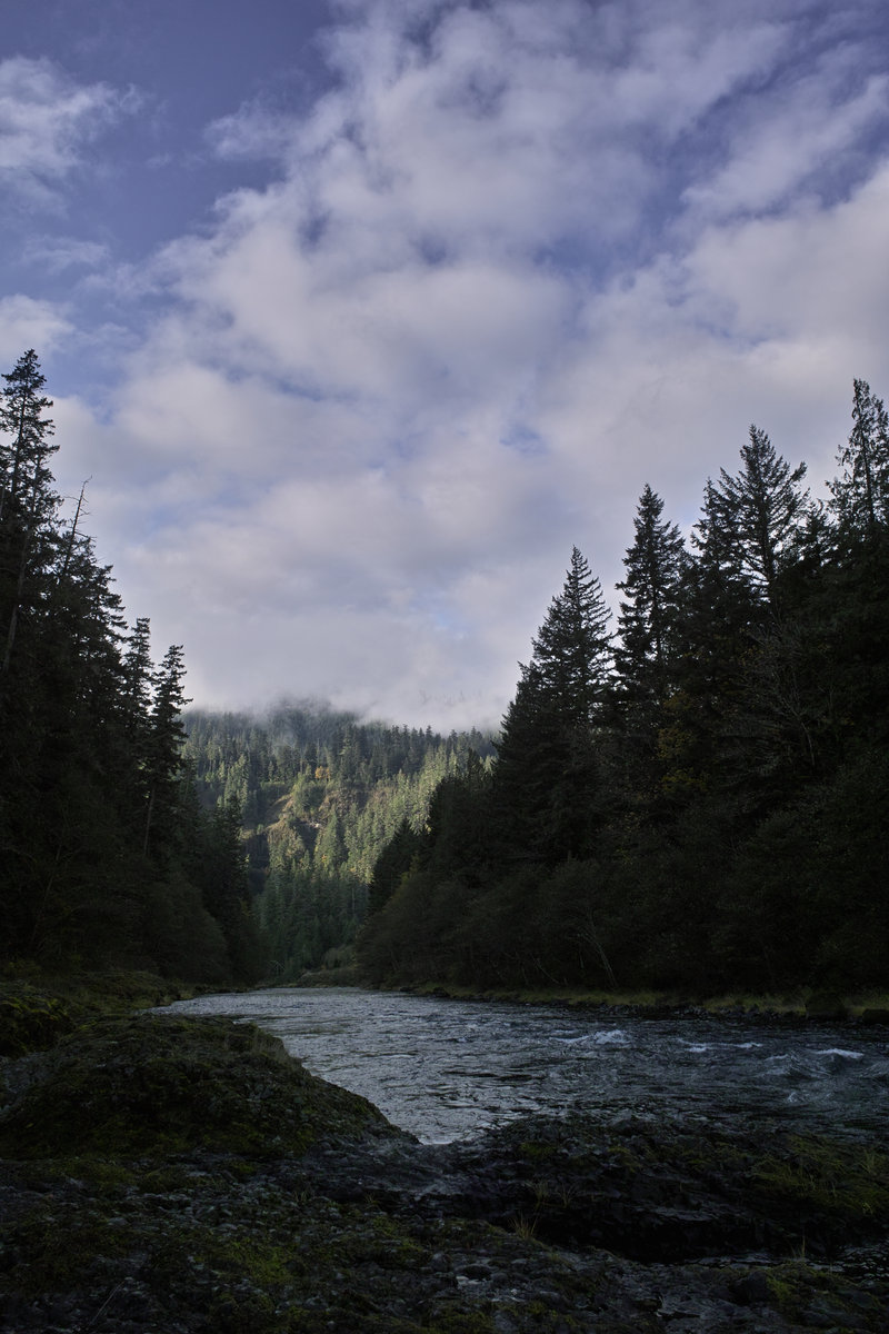
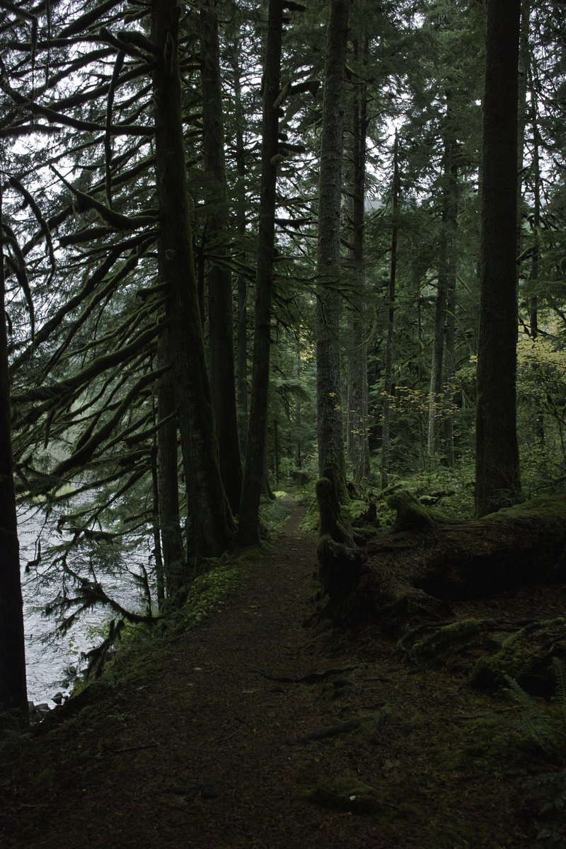
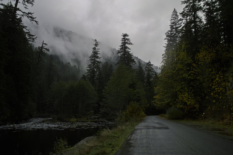
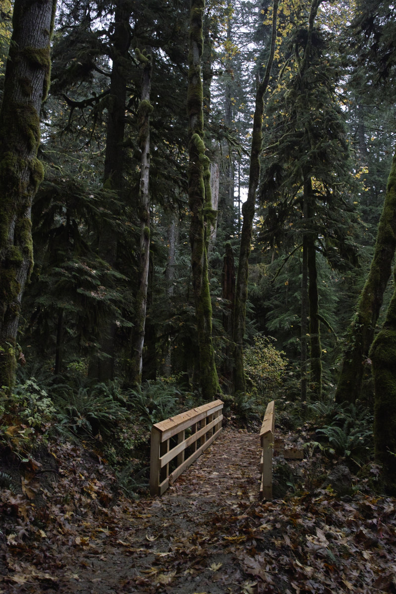
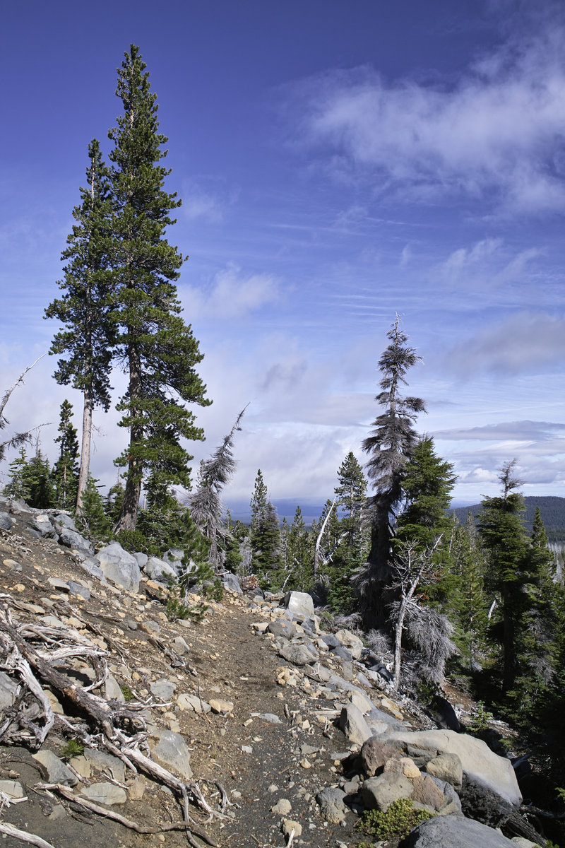
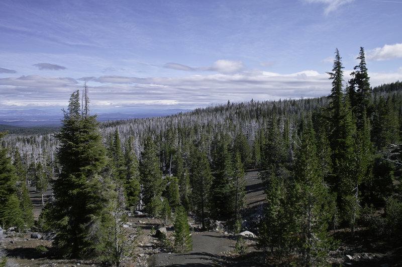
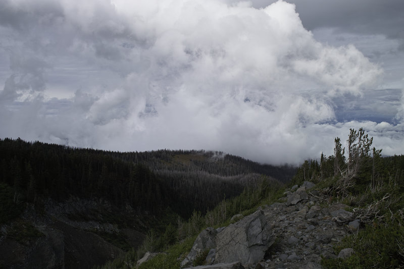
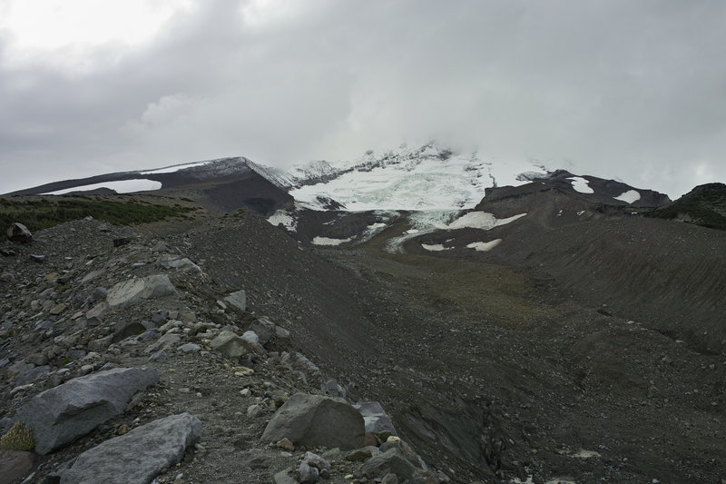
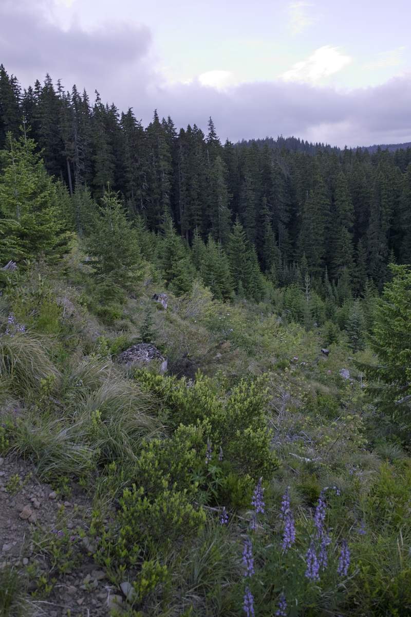
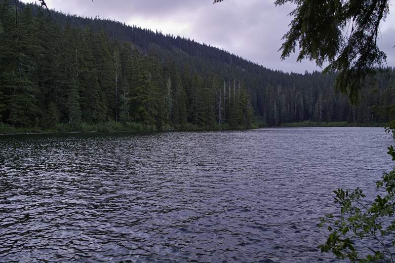
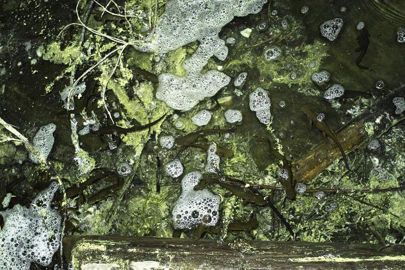
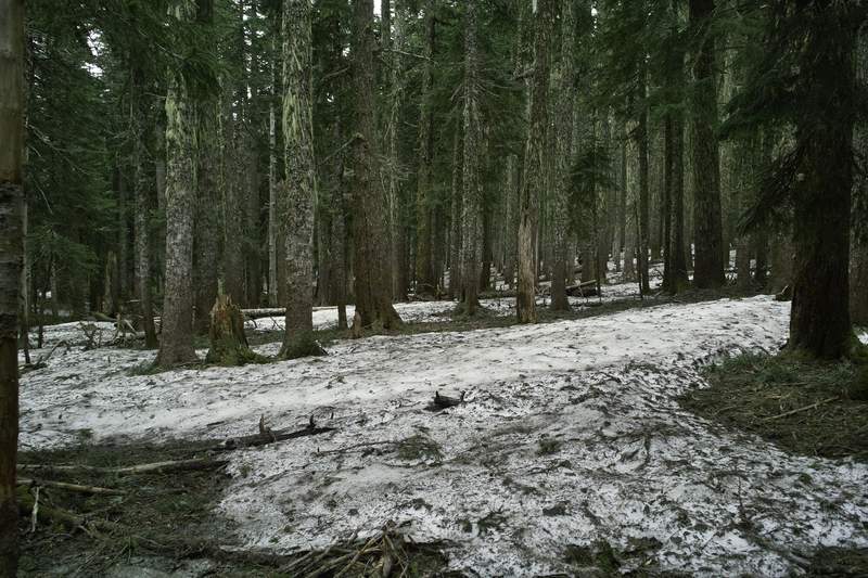
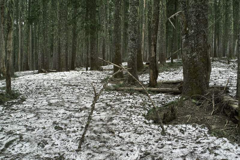
December 30, 2011 6 miles 1,000 feet gained
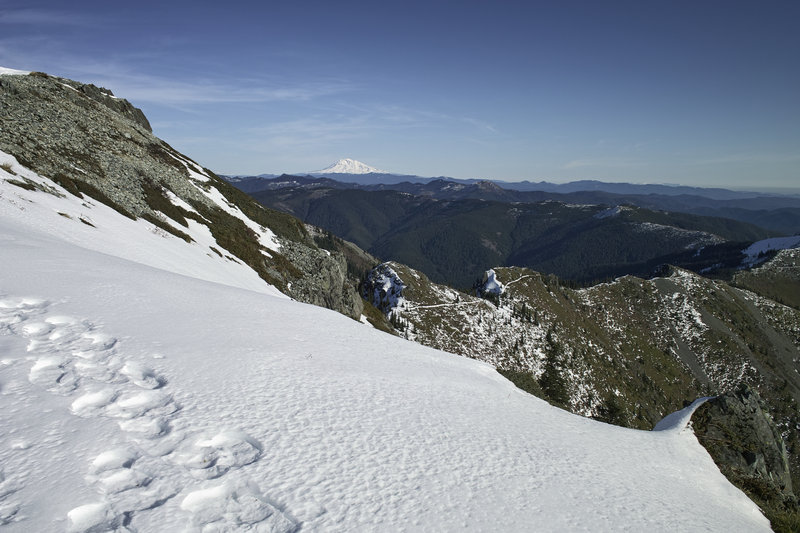
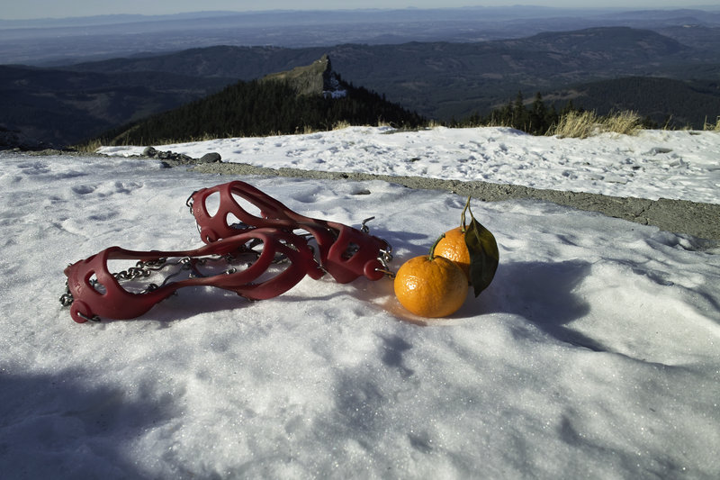
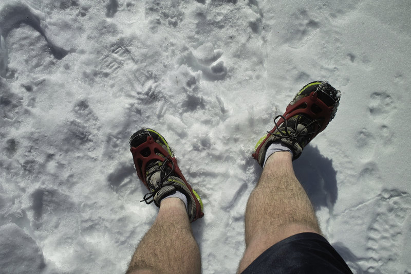
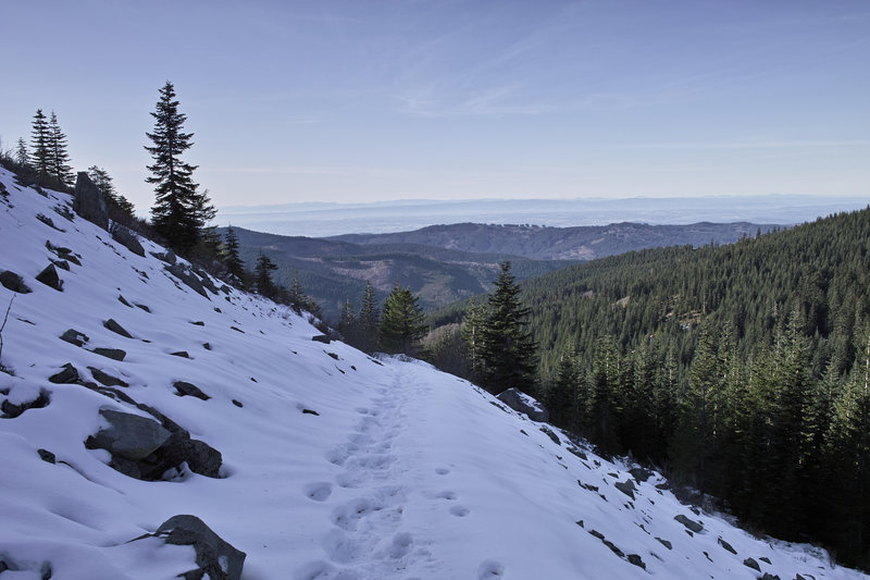
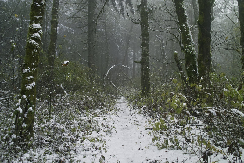
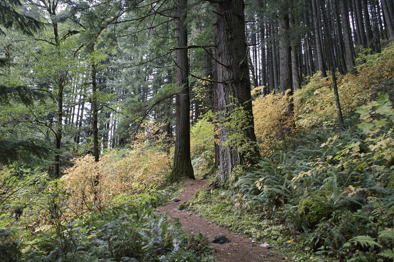
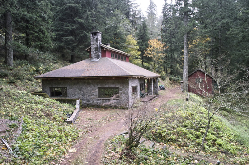
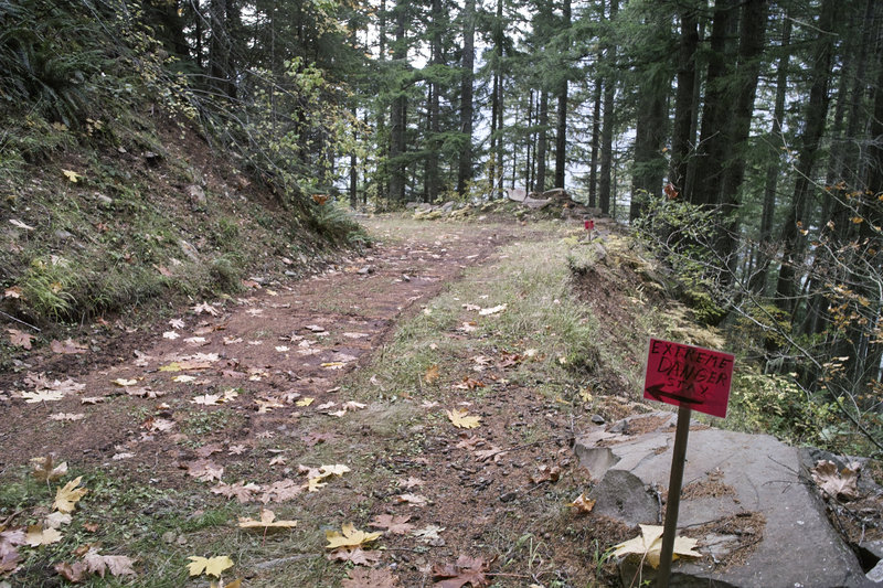
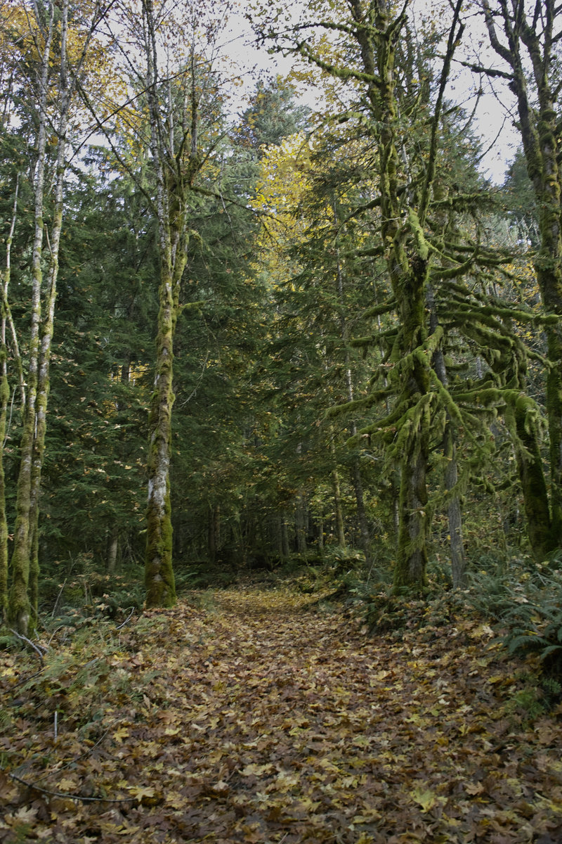
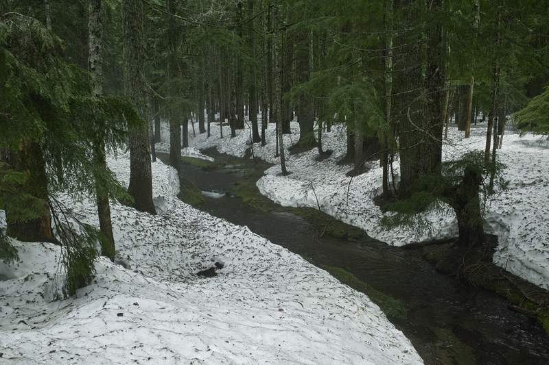
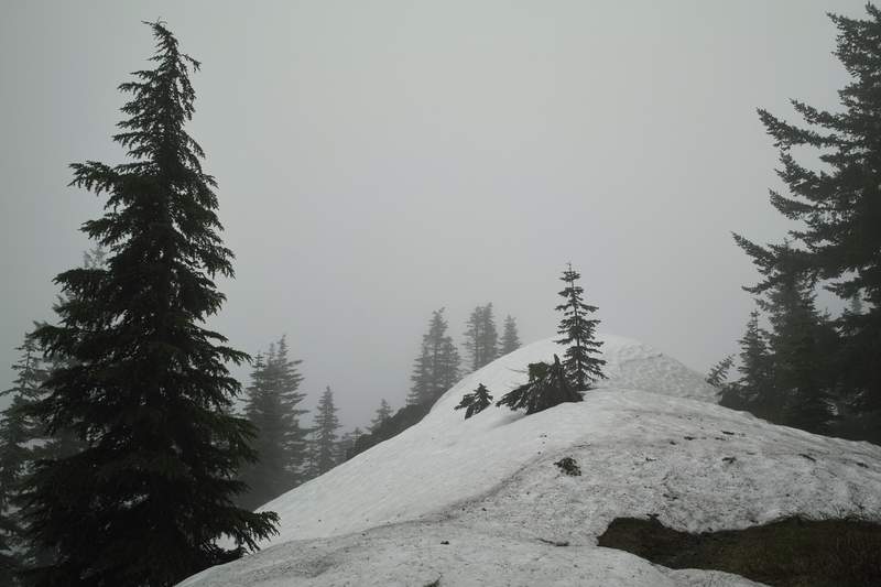
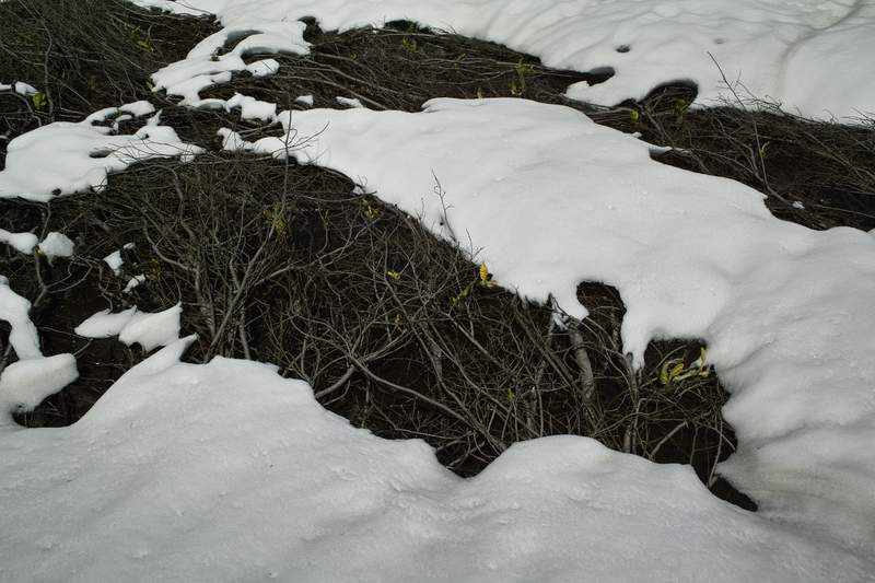
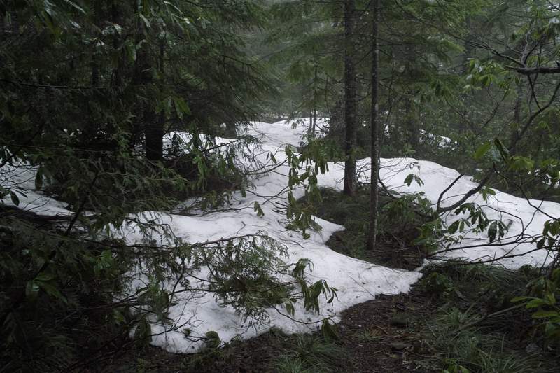
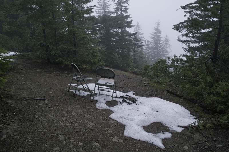
We only made it a few miles before we had to turn around because of ice—no microspikes.
Email updates
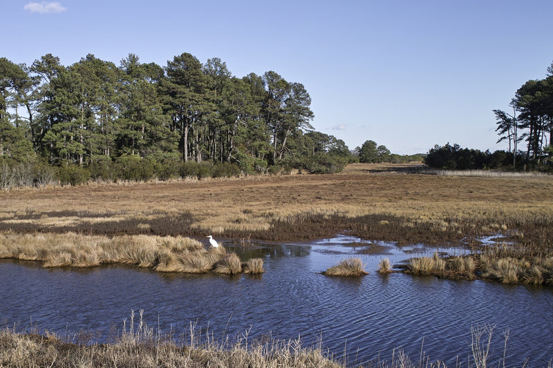
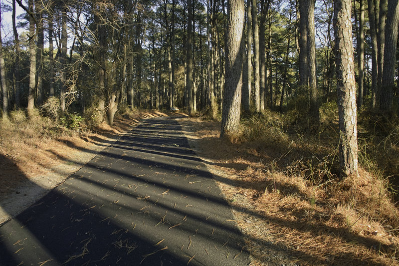
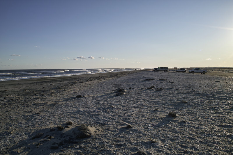
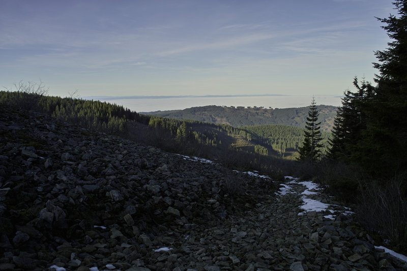
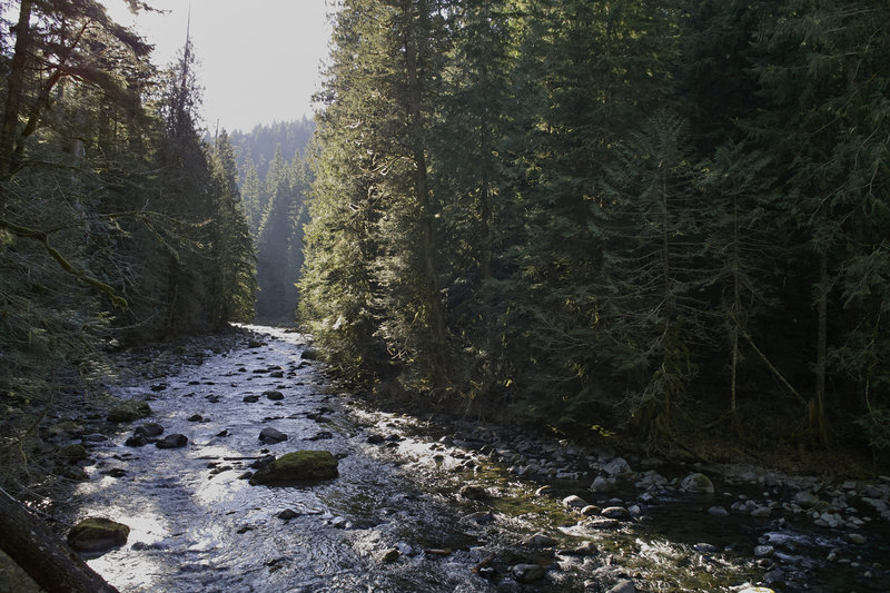
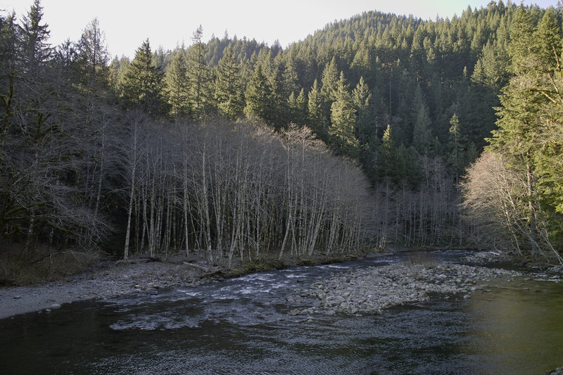
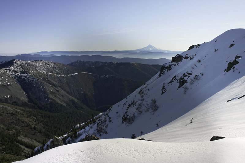
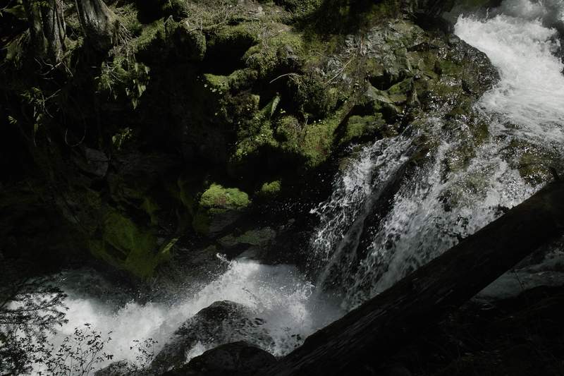
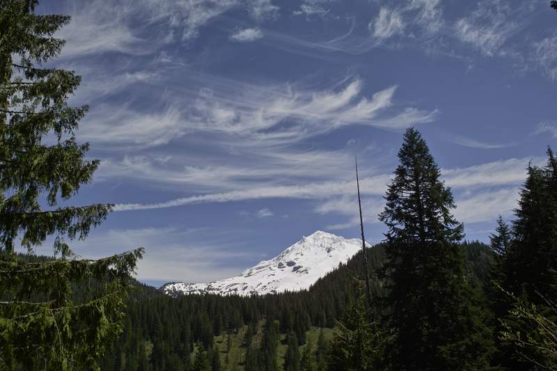
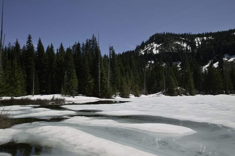
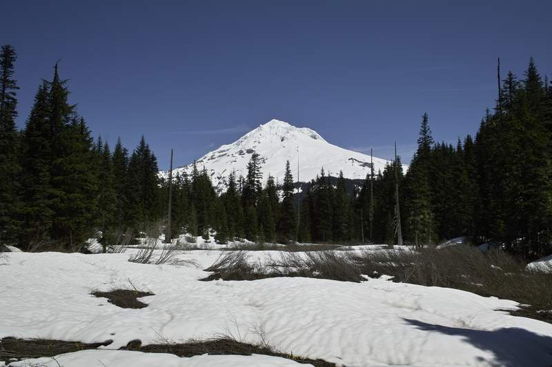
December 30, 2011 6 miles 1,000 feet gained
We only made it a few miles before we had to turn around because of ice—no microspikes.
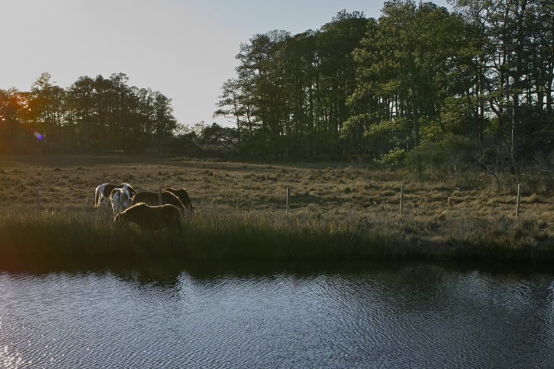
December 28, 2011 2 miles 250 feet gained
Finishing off the year with some wild horsies, and reaching my 1000 mile goal.
December 26, 2011 11.5 miles 1,000 feet gained
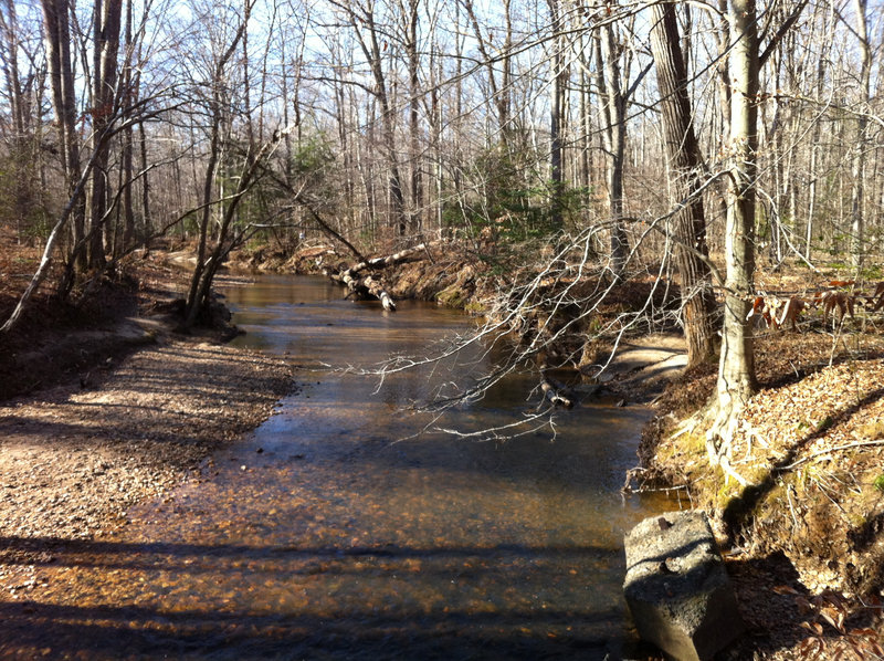
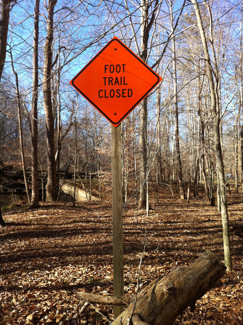
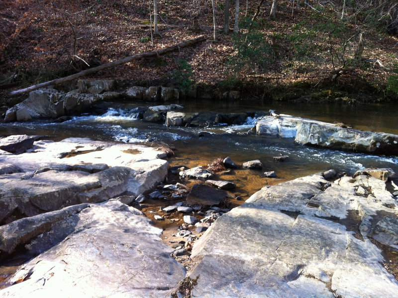
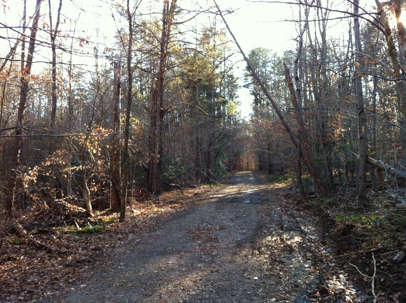
Almost there! Doing some hiking while in Virginia over the holidays. Looked at the GPS after I was done, and I have a half mile to go. Was going to do some AT hiking but I only had time to do a little hiking in this park south of DC, managed by NPS, next to Quantico. A busy day on the trails.
December 19, 2011 Sherrard Point 12.5 miles 2,750 feet gained
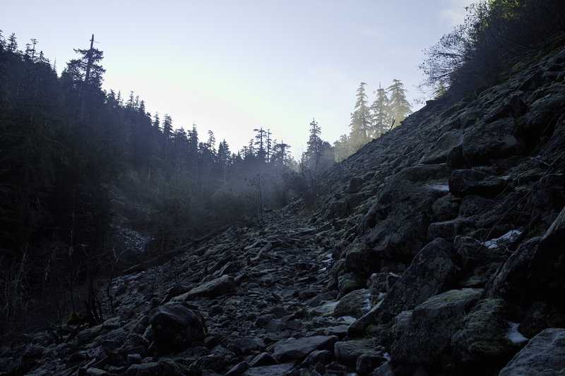
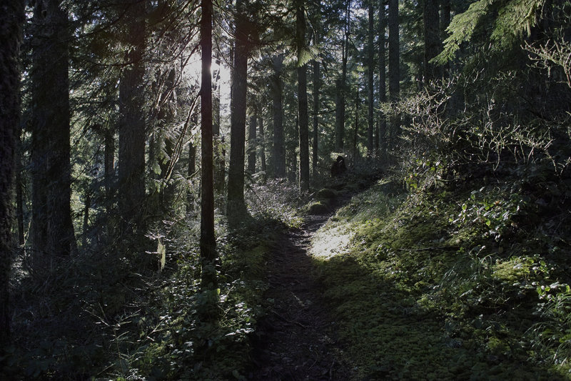
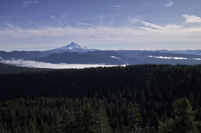
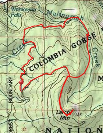
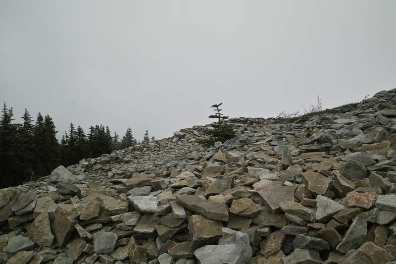
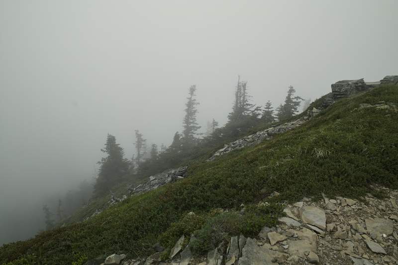
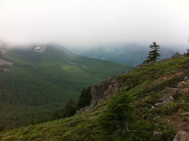
We chose to do another Larch loop because of its flexibility and guarantee of good views above the inversion. I love how well graded the Multnomah trail is up there. The rocky section was nice and slipp'ry. Nice views again!
December 17, 2011 Silver Star Summit 22 miles 5,250 feet gained
A great hike with the loonies! We started at Don's house, where he showed us some neat ideas for a trip based off of the LIDAR maps in an area that looks like it could be the remainders of the Bonneville Slide. The drive to Silver Star pretty quick from Vancouver—we went a new route I hadn't gone before, past the Larch Corrections Center, and the road starte...
December 13, 2011 Final Falls 5 miles 500 feet gained
I was going to do a quick trip to Wildcat Mountain, but the road was continuous ice, several miles from the trailhead. Option B was to do Salmon River. Just hiked up a few miles and back—always nice.
December 8, 2011 Silver Star Mountain 7.5 miles 2,500 feet gained
I had just a few hours so I though I'd do Silver Star from Grouse Vista. The Discover Pass sign has in fact been ripped down, and there are no indicators that a fee is required (so go now!). The trail has hard packed snow for the last mile or so, and microspikes are not necessary, but are supremely helpful for coming downhill faster. I saw no one else the wh...
December 3, 2011 Sherrard Point 17 miles 3,000 feet gained
Did a big ol' loop starting at the Larch gate. Started down the hill on a closed forest road (nice little streams along the way!), cut over to Multnomah Creek and headed up Franklin Ridge. Snow started around 3000ft, but was pleasantly solid because of the freeze, with nice "traction snow" on top. I ran into a few people that were coming up to Larch from the...
December 2, 2011 Confluence 4 miles 250 feet gained
Running with the dogs. Not my dogs, but every other dog in Portland.
November 30, 2011 Buck Creek 5.5 miles 500 feet gained
A run at dusk—the park (or at least the gate, but I saw a Metro pickup doing a sweep) closes right now at 4:30. The best trails are next to the river. There's parking just outside the entrance as of Dec 1, so you don't have to pay Metro's $5 fee.
November 20, 2011 Mount Talbert 3 miles 750 feet gained
The big push to mile 1000. Every little bit helps.
November 18, 2011 Cape Horn 7.5 miles 1,750 feet gained
Had just a short while, so I thought I'd do something close. First time doing the loop. Go now—before the falcon closure at the end of December, though one must be careful on some of those cliffy sections with slick leaves and wet rocks. Really a nice hike, given how close it is to Portland.
November 13, 2011 Franklin Ridge 10.5 miles 2,500 feet gained
Did the Multnomah Wahkeena loop with a side trip up to Nesika Lodge. Perfume Bomb Count: 5 (a record!)
November 11, 2011 Tanner Creek 12 miles 2,250 feet gained
Kind of just a road walk. Given what else is in the area, probably only worth visiting if you're looking for an easy trail run or are looking to make a bigger loop.
November 8, 2011 Doane Point 4.5 miles 500 feet gained
November 5 to November 6, 2011 Murphy Creek 4.5 miles 750 feet gained 1 night
Another easy hike. Just getting outside. No rain!
November 4, 2011 Old Salmon River 6 miles 250 feet gained
Probably the easiest and one of the most relaxing hikes of the year.
October 29 to October 30, 2011 Corral Lake 52 miles 7,500 feet gained 1 night
[This.](http://wenthiking.com/users/1-kyle-meyer/hikes/1078-trail-around-the-three-sisters) More pictures to the right.
October 25, 2011 Guild Lake (historical) 3 miles 500 feet gained
October 23, 2011 North Lagoon 6.5 miles 500 feet gained
October 15, 2011 Tranquil Lake 11.5 miles 4,000 feet gained
Another scrapped hike this year. I had a pass for the Enchantments, so that was the plan. Got three quarters of the way up Aasgard and decided to turn around because of what could become dicey snow on the way down, given all the melting that was going on. It probably was fine, and now I'm kicking myself, but with all the stories of deaths on Aasgard, I decid...
October 7 to October 8, 2011 Golden Lake 42 miles 4,000 feet gained 1 night
Friday morning, I headed down over Santiam Pass, into Sisters, and then up into a raincloud known as Lava Canyon Trailhead. I knew the rain wouldn't last though—you could see the weather was just lingering over the Cascades from the Sisters. My plan was to do the Three Sisters Loop in 2 days. At just over 50 miles, this was totally doable, but as I would lat...
October 2, 2011 Cooper Spur 8.5 miles 2,750 feet gained
I took the ridge line up towards Cooper Spur, and then eventually headed back down to the trail before the shelter. I made another wrong turn and started up the lower ridge, when I realized that I would have to hoof it over up the hill. Snow started at 8000', and I turned around just before the "top"—around 8300'—because the sleet and wind were really pickin...
September 23, 2011 Mount Margaret 12 miles 2,750 feet gained
Mt. Marge. Salmonberries. Huckleberries. Thimbleberries. Nice clouds. A relaxing hike.
September 17, 2011 Sawtooth Mountain 20.5 miles 1,750 feet gained
For some reason, I really like Indian Heaven. But for some reason, I can only seem to get there when it's in a big raincloud. Today, I think it was a combination of our weather, plus what seems to be the perennial fog that just doesn't leave that place. That being said, it was still great. I got to the Sawtooth Trailhead around 10:30—things were pretty crowd...
September 9, 2011 Square Lake 6.5 miles 750 feet gained
This trip was supposed to be a Three Finger Jack loop, but it ended up being an out-and-back to Square Lake. The big problem was the bumble bees. The trail was covered in a white flower which was at the peak of its pollination so the bees were going nuts. Usually they don't bother me, but I had several swarm me, and since I had shorts on and was walking righ...
September 3, 2011 Cispus Pass 18.5 miles 3,000 feet gained
A planned 2-nighter turned into a day trip. I'm not entirely sure why, but I think I'm just getting hiked out for the year. I still want to make 1,000 miles, though. Drove up Friday night and did some "car camping" (in the car). I did the Walupt lake loop, adding on Cispus Pass and a little wandering. The basin below Cispus is pretty cool, with several casca...
August 21, 2011 Paradise Park Loop 12.5 miles 2,250 feet gained
Lupine. People. A few other flowers. A little bit of snow. Far less crowded early in the morning.
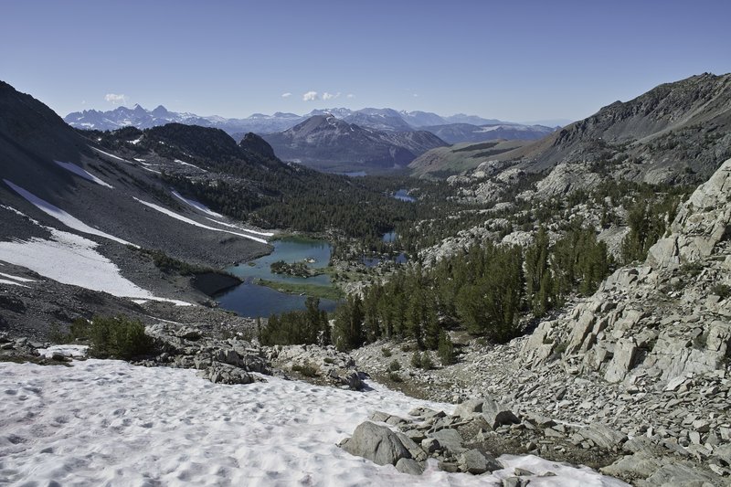
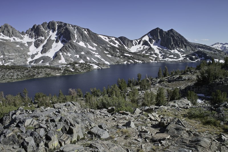
August 5 to August 14, 2011 Mather Pass 132 miles 27,500 feet gained 9 nights
The High Sierras, especially the southeastern Sierras, are really something special. Maybe I'm overselling, but mile-for-mile, I know of no more interesting and beautiful terrain in the lower 48. The pictures do not capture the magnitude of the landscape. You must go for yourself. Day 0 - 6 hours driving I had been planning this trip for months, and finally,...
July 30, 2011 Top Lake 11 miles 2,000 feet gained
I wanted to do a long mileage hike with only moderate elevation gain to break in some shoes and do a little training for an upcoming trip down in the Sierras. Unfortunately, I failed to heed the warning that the Olallie mosquitos were ravenous. Surely, I thought, the warm weather and daytimeyness would keep them at bay. Nope. The little buggers just got wors...
July 26, 2011 Tom Dick and Harry Mountain 6.5 miles 1,750 feet gained
After work. The mountain only came out occasionally, and not very much when I got to the top. No one else past the lake, but 2 separate camping groups at the lake on a Tuesday night.
July 22 to July 23, 2011 Plains of Abraham 17 miles 2,250 feet gained 1 night
Father Abraham, had many sons. Many sons had father Abraham... Did Plains of Abraham from Ape Canyon. I saw a few bikers coming down on Friday night, and a few hikers and bikers on their way up Saturday morning, but otherwise saw no one once I got to the plains. The first few miles are a bit of a snooze-fest, but once you get up to the ridge this is a great ...
July 15 to July 16, 2011 Shellrock Lake 13 miles 2,500 feet gained 1 night
I drove in late, camped at Shellrock. The skeeters aren't too bad right now, but they just hatched, so they should be bad in a week or so. It rained all night. In the morning I did the loop. The snow was tolerable, but there were still large 1/2 mile stretches of full coverage. Since it rained, everything was very wet (duh), and since the trail is often rock...
July 8 to July 9, 2011 Dickey Lake 4.5 miles 1,250 feet gained 1 night
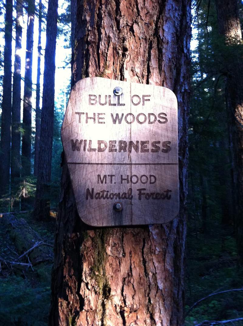
A quick trip to Bull of the Woods. Left work, hit traffic, but made good time - those last few miles look like they have a lot of new gravel - I had fun messing with my traction control :) I was going to do a loop, but snow started at 4800ft, and, well, I've had enough for this year. The mosquitoes are out in force - I ended up hiking 2 miles in up past Dick...
July 4 to July 5, 2011 Table Rock 16.5 miles 3,750 feet gained 1 night
Last night I decided to do one more quick backpacking trip for the week. The drive to Table Rock is pretty quick - about 42 miles, 7 on gravel. For the first several miles to Table Rock I must have seen 35 people (including one guy crossing the snowfield with a baby carrier! hmmmm...), but then not a soul past the intersection towards Rooster. The trail betw...
July 3, 2011 Chinidere Mountain 5 miles 1,250 feet gained
Socked in. Broke my camera (again). More snow. :/ Actually, the snow isn't bad, so long as you take the Chinidere cutoff trail (406M) from the lake. The plateau is a snowy swamp right now.
July 3, 2011 Road 19 Trail 2 miles 500 feet gained
By this point, I had done too much, and I was pretty bummed after breaking my camera, so I quit after mile 1.0 or so. Kind of a neat trail, though. I'll be back to this one.
July 2 to July 3, 2011 Wyeth Campground 2 miles 250 feet gained 1 night
After my evening drive-a-thon, it was 1a, I needed somewhere quick to camp, and of course, all the campgrounds were full (not that I wanted to pay the fee anyway...) I thought I remembered there being spots along the Wyeth trail - well turns out, they really aren't spots when all the summer foliage grows in, so I ended up backtracking and stealth camping not...
July 1 to July 2, 2011 Strawberry Lake Connector 12 miles 2,500 feet gained 1 night
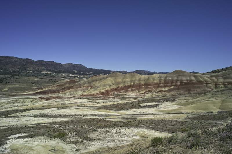
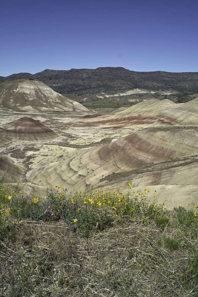
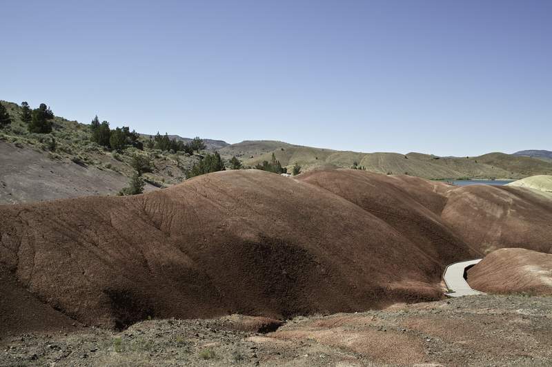
Saturday it was 90 degrees in John Day. Even with elevation, it was still blazing hot, but a good time. I felt out of place without a cowboy hat. I headed out Friday morning, taking 26 and stopping at Painted Hills - what a cool spot! I ended up at the Strawberry Lake trailhead by mid-afternoon. There were a few other parties, but it was still pretty quiet. ...
June 26, 2011 Silver Star Mountain 7.5 miles 2,500 feet gained
Sooooo many volcanoes.
June 24 to June 25, 2011 Pamelia Lake 19 miles 5,750 feet gained 1 night
My original plan was to do a long ridge hike in Middle Santiam, approached from Rt. 22 to avoid the long drive in, but because the access road was closed for repair, and the alternate was snowed in, my plan was stymied. Thanks to my friend Bill Sullivan, I had other options. I called over to Detroit Ranger Station and got a Pamelia permit. Right down the roa...
June 19, 2011 Observation Peak 17 miles 4,000 feet gained
So glad to be done with this one. Took the 194 trail north to 158. 158 had several blow downs and the snow started at 3400. Well packed but icy. From the basin around 3400, I ventured off trail to avoid the sidehilling - I wouldn't do this hike for the next several weeks without a good GPS or excellent navigation skills. Routefinding in the several miles of ...
June 17, 2011 Burnt Lake 9 miles 2,000 feet gained
Hike up to Burnt lake. Super nice day. Snow at 3800ft and deep beyond that. The original plan was to go up to east Zigzag, but the consensus was to turn around shortly after the lake.
June 15, 2011 Mcintyre Ridge 6 miles 750 feet gained
Went up late tonight to get a quick hike in. The plan was to do Wildcat, but I ran into drifts on the road 2 miles before the trailhead. A high clearance vehicle would do fine. Outbacks and smaller, if going this week, bring a shovel in case you get high-centered. I didn't have either, so I ended up road walking a good ways. It was supposed to be clear out t...
June 12, 2011 Three Corner Rock 18 miles 4,250 feet gained
They say the third time's the charm. Apparently not. Yet again, Table evades me. I started at one of the CG-2000 trailheads around 1p and made my way up the PCT towards Three Corner Rock. Hit snow patches around 3200', which continued on the east side of the ridge all the way to table. Often it was easier to bushwhack up higher on the ridge, or take 4x4 road...
June 9 to June 10, 2011 South Coldwater 16.5 miles 2,750 feet gained 1 night
I headed up north again this week, this time to scout out some options for an upcoming trip. I didn't get out of Portland until 5:30, and then got stuck at the bridge for about a half hour while I waited for the drawbridge to come back down. 504 was covered with yellow flowers, and the drive to MSH was super quiet: the last 20 miles I saw no cars. I couldn't...
June 5, 2011 Columbia River Gorge National Scenic Area 14 miles 4,000 feet gained
(Follow dosage instructions carefully. Ask your doctor for more information.) Decided to do the Hamilton-phlox point loop before the discover pass kicks in (though I'm still scheming to find a place to park outside of the state park - tried to be all buddy-buddy with a ranger directing parking (it was busy today), and see if she knew of any secret spots, but...
June 3 to June 4, 2011 Cave Falls 13.5 miles 1,500 feet gained 1 night
Friday night after work, I left Portland right at the beginning of rush hour, and once clearing the bridge, made my way up 503 towards Lewis River. Plan A-1 was to scope out Mt. Mitchell and see if the snow mentioned in a trip report two weeks ago was still sticking around. I took my chances and drove up to the trailhead, but just through the trees you could...