A

acorn woodpecker

40 trips 324 miles logged 3 nights out in 2014 Subscribe to updates

Hikes by acorn woodpecker in 2014

December 26, 2014 16 miles 5,000 feet gained

Dead camera battery=no photos. Started from Herman Creek TH and went up the Herman Creek Trail 3 or so miles until I reached the southern ridge of Camp Creek (first substantial creek crossing after the wilderness sign). I ascended this ridge for 3000 ft to Nick Eaton Ridge just north of the Casey Creek trail junction. The lower half had alternating bands of ...
December 19, 2014 5 miles 1,500 feet gained

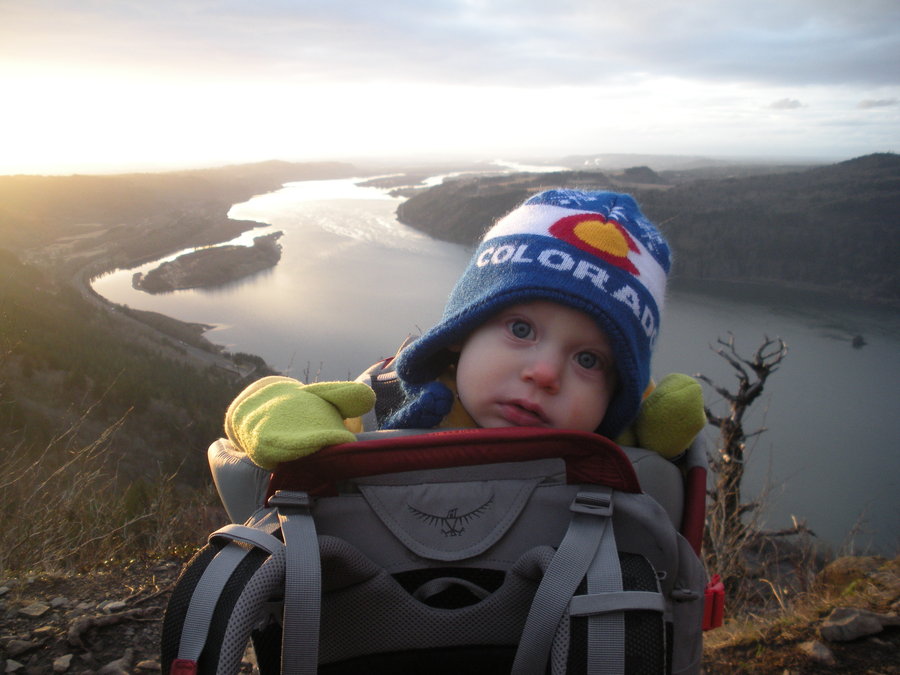
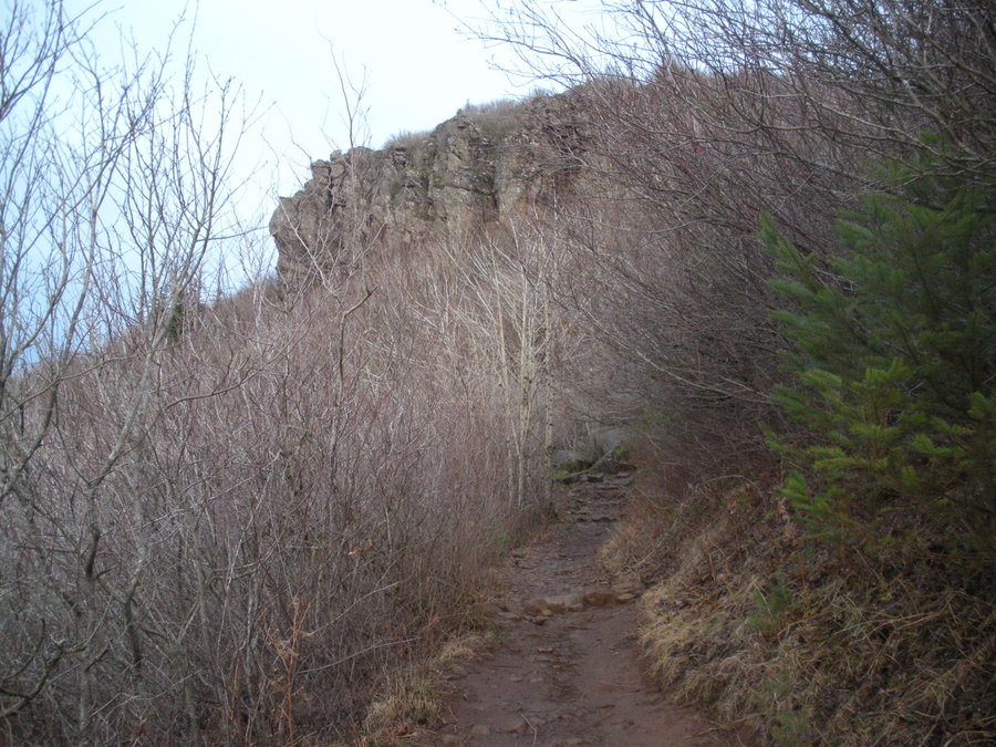
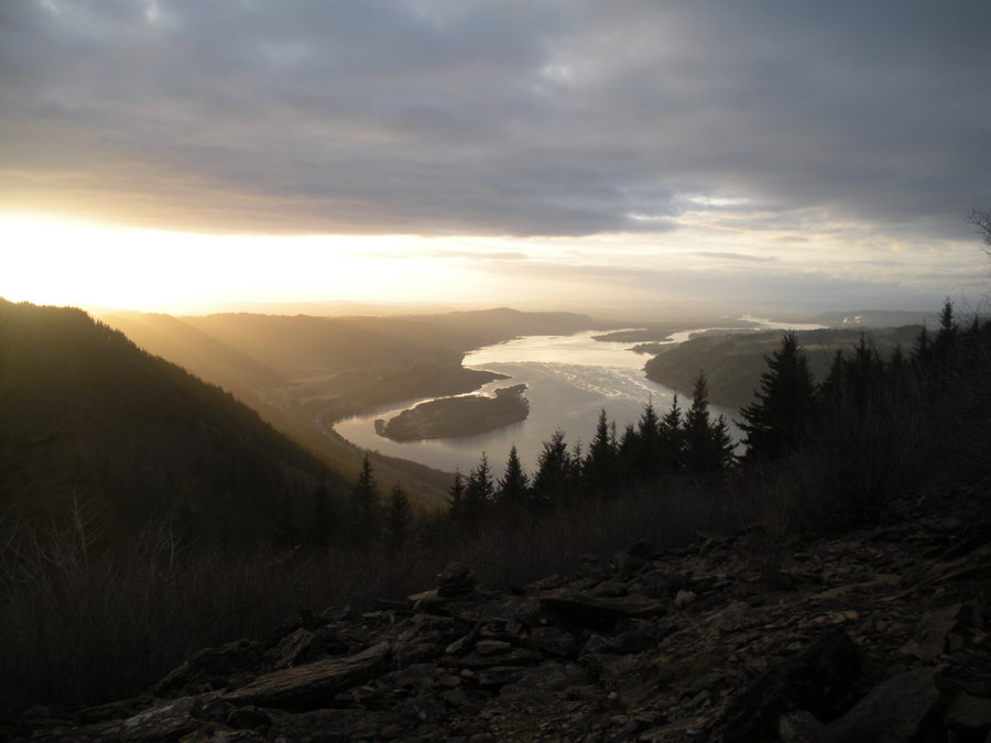
Had a few hours in the afternoon and took my son up to Angels Rest. Hadn't been there in a few years. Nice day and friendly folks on the (justifiably) busy trail!

November 29, 2014 2.5 miles 250 feet gained

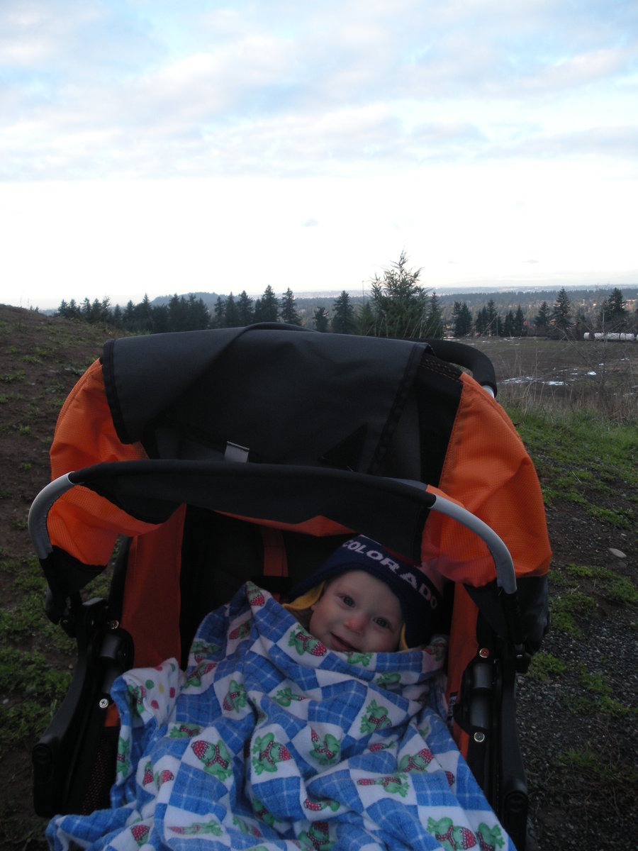
Quick afternoon trip with the family. Tried out the new stroller on the trails. Worked great. Even negotiates stairs! Did a little lollipop loop to the summit from the 147th Ave TH. Nice views, cold weather.

November 21, 2014 4 miles 500 feet gained

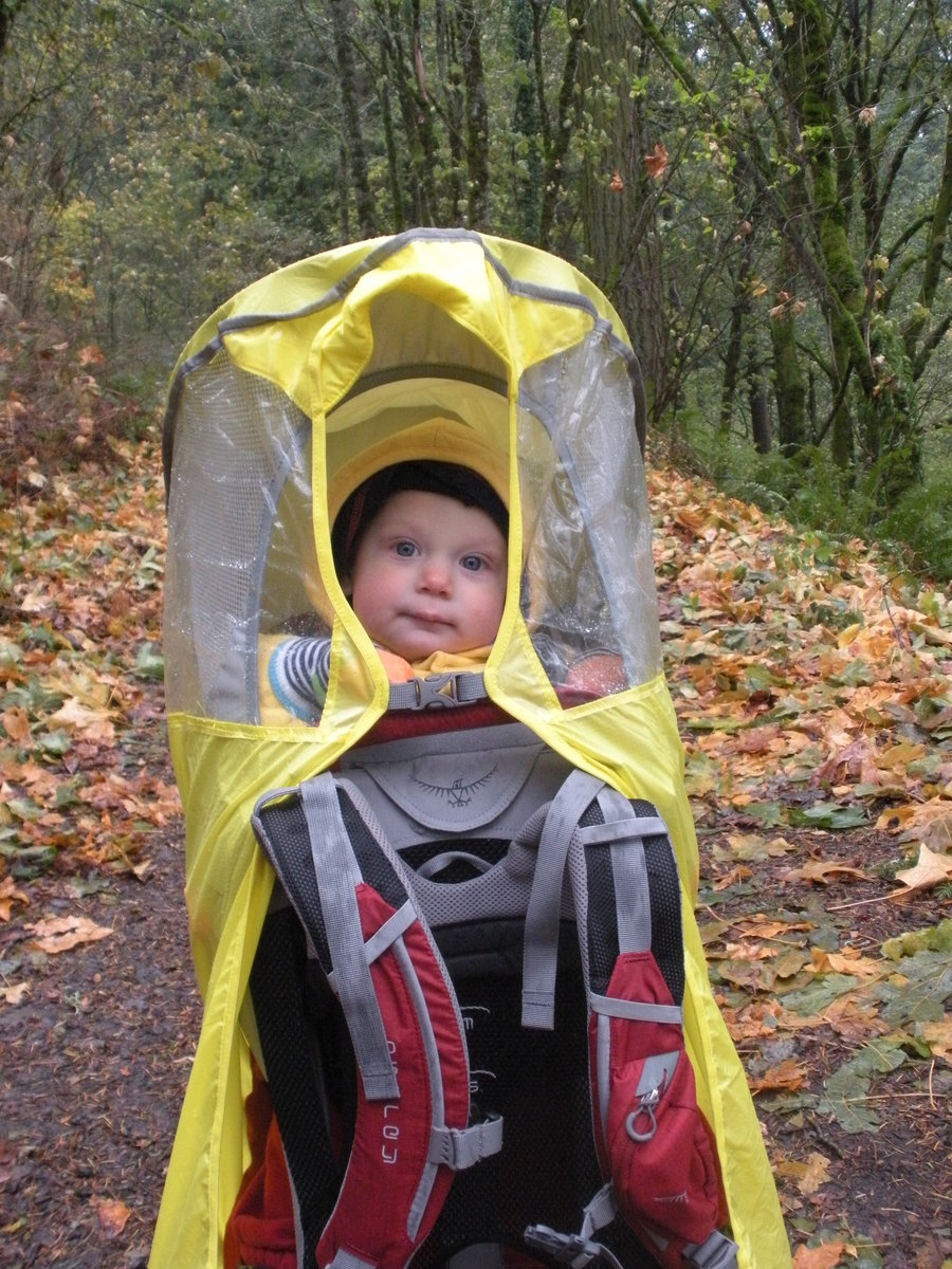
Took my son out on a rainy day and did a clockwise loop and two lollipop loops around the park. Started at 148th TH, but the construction of the subterranean reservoir halted my clean loop. Instead, we walked the perimeter fence of the construction area to find a way through (there was none), and looped back via deer trails through pleasant doug fir and west...

November 15, 2014 4 miles 2,000 feet gained

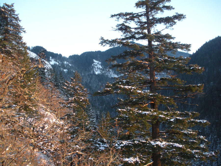
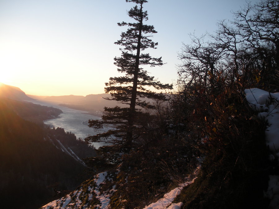
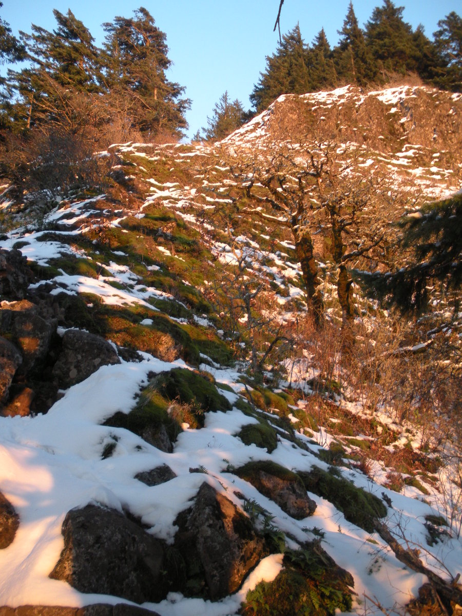
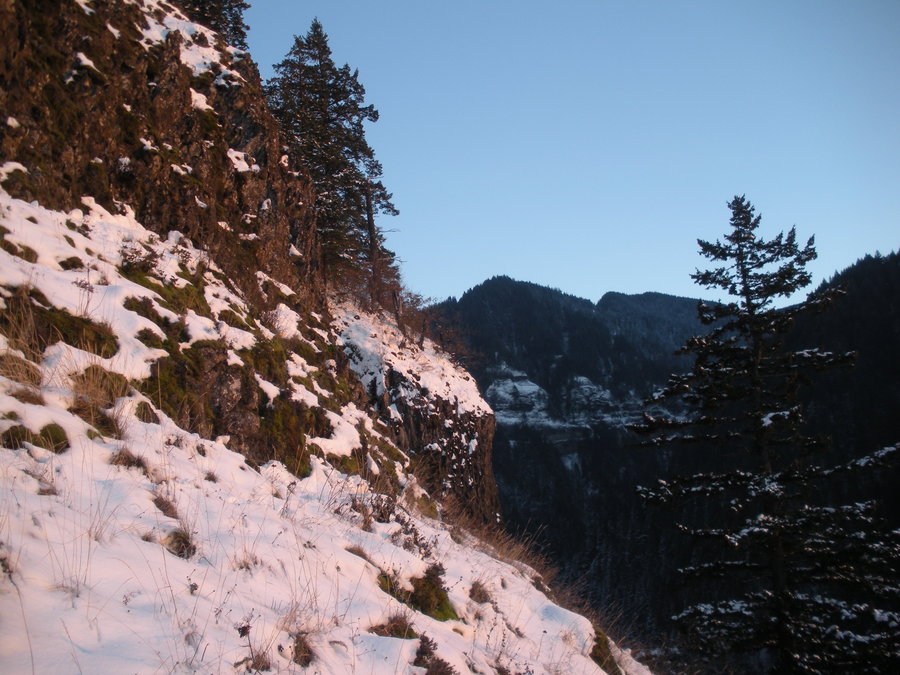
A snowy sunset trip to Munra. Beautiful and cold. There was solid snow cover the entire way up.

November 7, 2014 4 miles 500 feet gained

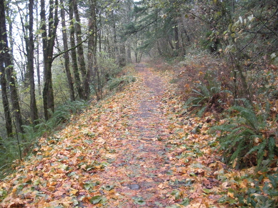
Had a couple hours in the afternoon and took my son out on the quiet side of Oxbow Park. The colors were great, the Sandy is flowing strong, and the trail is covered in maple leaves for nearly the entire way. Also, didn't see a soul.

November 1, 2014 6 miles 2,000 feet gained

Started at Aldrich trailhead and went with my dad to Cedar Mt. Went up the PCT and looped back south along Cedar Ridge. A dry cloudy day with very wet Oregon Grape underbrush on Cedar Saddle. No views past the immediate Gorge area due to the low cloud ceiling (around 2000'). Very mild for November, though.

October 18, 2014 5 miles 1,000 feet gained

Started on the 4T trailhead along Terwilliger, then took the Flicker Trail to the Towhee Trail where I intersected Marquam Hill Rd. Dropped into the canyon along the South Marquam Trail where I saw an Oregon Slender Salamander! Then I joined the main trail up to Council Crest and savored the great view on top. Some high clouds in Southwest Washington blockin...

October 3, 2014 16 miles 6,250 feet gained

Went up to Cooper Spur via Lamberson Spur. A very splendid day in the high country. Read my trip report on Portland Hikers that I have linked.

September 12, 2014 10 miles 2,750 feet gained

Took some friends and Acorn Jr to McNeil Point. The ridge between the point and Bald Mt. was windy and chilly. Conditions were perfect atop the point, though. Went up the climbers trail to McNeil and took the established trail back. On the way back the party got separated and the remaining three of us unexpectedly came back to the trailhead and the other two...

September 5 to September 7, 2014 31 miles 8,000 feet gained 2 nights

Glorious alpine hiking/scrambling in Alpine Lakes Wilderness in central Washington. Click link to trip report on Portland Hikers.

August 29, 2014 8 miles 2,500 feet gained

Took my son on our first long solo hike outside of the city. Excellent day with great weather and a gratefully cooperative happy child!

August 13, 2014 5 miles 1,000 feet gained

Was able to walk/jog from my mother's house to this ridge a couple miles away. Ascended through scrubby sagebrush, lodgpole pine, and cactus to the hogback ridge, which is the first uplift of the Rocky Mountains. Great views of the Front Range and the city of Denver. Had a thunderstorm open on me while I scrambled along the cliffs and rocks. Followed rough a...

August 12, 2014 3 miles 1,000 feet gained

Went on a family trip to Denver. Had a brief window in the morning to do a hike with my dad. We went to one of his favorite short hikes in the area. Rather than take the trail we followed the west ridge from the road on up to summit of Chief Mt. Better views, more varied terrain, melts out earlier, and no people on an otherwise justifiably popular hike! Ther...

August 9, 2014 3 miles 1,250 feet gained

After blueberry picking outside of Molalla and hanging along the Molalla River, the woodpecker family ventured to Table Rock Wilderness for a quick hike. There was no one else at Rooster Rock TH and no one on the trail. The forest was pleasant and the air mild. The views were good albeit hazy in the Willamette Valley. Loved the solitude.

August 1, 2014 5 miles 1,250 feet gained

Took my son in his new pack and traveled to Council Crest after meeting Mrs. Woodpecker for lunch at work downtown. Took the Conor Trail to Gibbs St. and caught the Marquam Hill Road trail, switchbacked down, and eventually connected with the Council Crest trail. Sonny loved the pack and the hike and was fawned over by people on the summit! So nice that this...

July 26, 2014 14 miles 4,750 feet gained

Linked Bear Point and Park Ridge for a magnificent off trail high country day. Started and ended at South Breitenbush TH, to Jefferson Park, PCT for a 3/4 mile, then cross country all the way to Bear Point. See link to my TR on Portland Hikers for more info and pictures.

July 18, 2014 5 miles 1,250 feet gained

Took my visiting father and carried my son to the old lookout side atop West Zigzag Mt. Perfect weather day (breezy between 65-75). Love the views of the Salmon Huckleberry Wilderness from the summit. Caught a few good views of Hood along the Zigzag ridge. Saw the huge plum of smoke from the fire on the Warm Springs Reservation. Plenty of Tiger Lilies in blo...

July 12, 2014 4 miles 1,250 feet gained

Took the whole family up to Bald Mt. HOT DAY! Beautiful views, of course. Wildflowers great. Even some wild blueberry ready to eat along McGee Creek trail. Such a nice quiet option and a little more of a work out to Bald Mt or McNeil Point.

June 21 to June 22, 2014 13 miles 3,750 feet gained 1 night

Spent the night near the trailhead the night before to get an early start and enjoy the shortest night of the year in honor of St. Solstice. Beautiful hike/bushwack/scramble/climb. Plenty of flowers, granite, and views. Weather was perfect for early season and no bugs. Mt. Minnie was a real adventure and feels good to have made it to the top as there is no e...

May 31, 2014 8 miles 4,000 feet gained

A "direct"(i.e. dumb way) to Nesmith Point. For adventurous buffoons with climbing skills only!

May 24, 2014 6 miles 1,750 feet gained

The family and I went into the Gorge on the Washington side Saturday and went somewhere to avoid the crowds. Great hanging meadows, flowers, forested summits, and grand ridgeline viewpoints. Saw a record one car at the trailhead.

May 16, 2014 5 miles 1,750 feet gained

Started from the gate on the still-closed (thankfully) and completely snow-free Larch Mt. Road. Took the road for a mile and then the old logging road to the junction with the trail up the north ridge to the picnic area and on to Sherrard Point. Pretty good views with a higher cloud ceiling than expected. Unfortunately, there was enough haze to hamper distan...

May 3, 2014 11 miles 4,250 feet gained

Went up a gully east of ROA arch from Horsetail Falls TH, gained ROA Ridge Trail, climbed further and dropped to Mt. Kiesano for astonishing Gorge views. Then, checked out another sub ridge off of ROA Ridge higher up before staying on ROA Ridge route to Horsetail Creek Trail and descended back via Horsetail Ridge. At the terminus of the ridge, we descended w...

April 26, 2014 3 miles 750 feet gained

Did a short family hike in Forest Park. Started from Linnton trailhead and ascended to Fire Lane 10 and continued to the Wildwood Trail intersection. Descended via a short lollipop loop and intersected the fire lane lower down and returned the same way. Temperate damp weather with nice bird life, filtered views, some spring flowers, nettle harvesting, and ba...

April 19, 2014 4 miles 2,000 feet gained

Didn't have much time so I went for a quick burn with rewarding scrambling, wildflowers, and views. The top ridge of Munra above the chimney is COVERED in avalanche lilies! No distant views of high volcanoes, but great immediate views. Munra never fails to disappoint, regardless of conditions or season.

April 12, 2014 10 miles 4,250 feet gained

Took Eagle Creek trail at 7am to just before first bridge crossing at Sorenson Creek. Left trail and followed prominent spur ridge to Ruckel Ridge. Surroundings were incredible. Intersected Ruckel Ridge at 2600 ft and on to Benson Plateau. Rather than take Ruckel Creek trail down, I opted to stay high and descend on the humpbacked Benson Bluffs until interse...

April 5, 2014 11 miles 3,750 feet gained

Bosterson and I went up ROA via RJ, checked out the cabins, poked around off ROA ridge, and took Horsetail Creek Trail back down to Oneonta Creek for the standard return loop. The bypass to avoid the Oneonta ford is getting more and more defined. A wet day, particularly in the end.

March 24, 2014 4 miles 2,000 feet gained

Had a wild hair after work and went somewhere close and uncrowded. Angel's Rest TH had at least 40 cars at 5pm! Walked up Palmer Mill Road a quarter mile before cutting up the ridge west of "Pablo's Ridge" on the west side of the small creek. Nice and open cross country/elk trails for the first half with a steep grassy cliff band at 800 ft. After that, a bur...

March 21, 2014 4 miles 1,000 feet gained

Mrs. Woodpecker and I took Woodpecker Jr. out for his first hike on our anniversary trip to the coast. He saw the ocean and was in the woods for the first time at 5 weeks old. Walked the beach along Manzanita and then drove to the Neahkahnie Mt. TH. Weather was windy, sunny, and 50 degrees. Lots of trillium, salmonberry, violet, and anemone. View from Neahka...

March 15, 2014 14 miles 5,000 feet gained

Joined E and Bosterson on their way to Tanner Butte. Started at Eagle Creek TH and went up Road 777 past the Tanner Butte TH onto a ridge about a mile south that happened to make up part of the wilderness boundary. We took this pleasant mostly bushwack-free cross country ridge up to Tanner Ridge and hit the trail around a mile north of Dublin Lake intersecti...

February 27, 2014 4.5 miles 1,250 feet gained

From Aldrich TH went around Aldrich West trail (which had fresh pink flagging with directions on where the trail went written on the flagging) to Cedar Creek crossing. My dad got his feet wet during the crossing and we turned around and went up to tag Aldrich Butte and looped back down to the road. Windy and cold on the summit.

February 21, 2014 3 miles 500 feet gained

This will be the place I "hike" the most anymore due to the birth of my son on Feb. 14! All Mt. Tabor hikes were done with him attached to me.

January 31, 2014 10 miles 2,500 feet gained

Pretty wet day. Went up Two Chiefs Trail with the intent of hitting Greenleaf Peak, but knew I didn't have enough time so I hoped to explore Greenleaf Basin instead. Greenleaf Creek was raging and a crossing looked unappealing. Stayed on the west side of the creek and shwacked up steep muddy deer trails to the notch where Upper Greenleaf Falls cascades down....

January 24, 2014 19 miles 5,250 feet gained

Dry day with an inversion in the Gorge as well as strong east winds. Took advantage of the low snow pack and attempted Tanner Butte. Eagle Creek trail to 4.5 Mile Bridge. Off trailed to cross Tenas Creek and ascend the ridge separating it and Opal Creek. Beautiful scrambly knife ridge on the lower stretches that actually requires route finding. From 2500 ft ...

January 18, 2014 7 miles 3,500 feet gained

Awesome rotten rock Gorge climb to Dog Mt.

January 10, 2014 13 miles 4,500 feet gained

From Aldrich TH, went around Aldrich West trail, dropped into Cedar Creek drainage and climbed Cedar Mt. At Cedar Saddle I followed an old road northwest where a rough trail materialized and descended into Hamilton Creek drainage. Once at the old RR grade, I followed a still-used ATV road for some time before ascending steadily until crossing the PCT before ...

January 4, 2014 18 miles 5,000 feet gained

Larch Mt. from Multnomah Falls. At Multnomah Cutoff trail we went west to make a balloon loop. Went cross country northeast of Larch and ascended its rugged east ridge to Sherrard Point. Took standard route back down until Wahkeena junction where we dropped into Wahkeena Creek and completed the loop via an extremely fun detour at sunset!