P

Pablo

60 trips 468.4 miles logged in 2014 Subscribe to updates

Hikes by Pablo in 2014

December 31, 2014 11 miles 3,250 feet gained

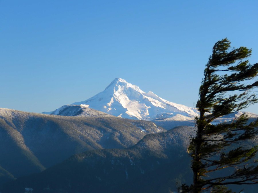
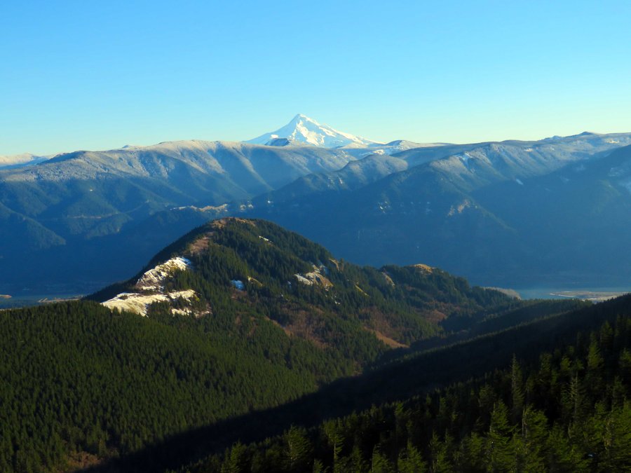
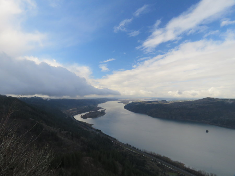
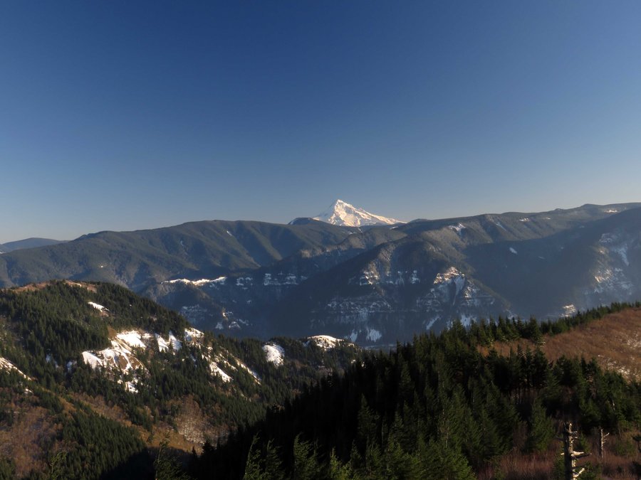
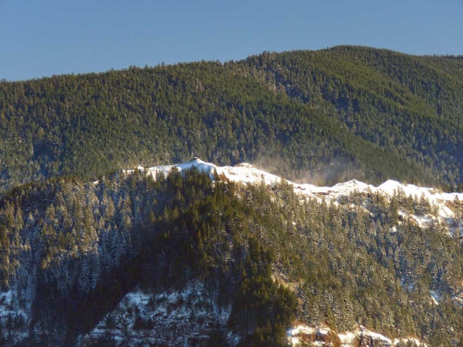
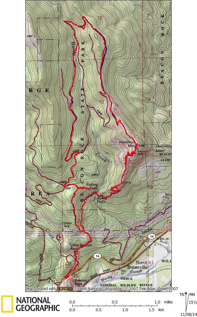
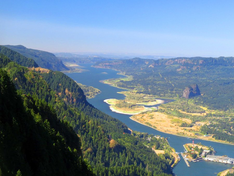
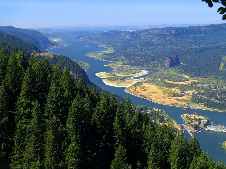
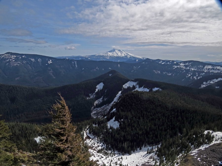
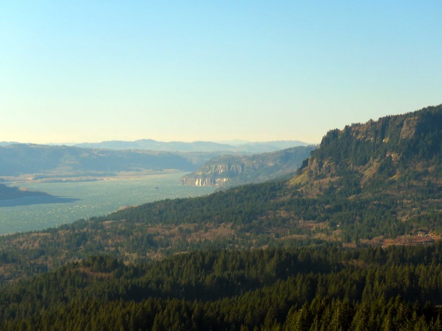
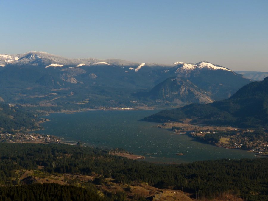
Hiked up Hamilton then north along old logging roads. Cut across Hardy Creek then up the ridge to catch another road that lead to Phlox Pt and the return to the trail head. It was windy and cold but clear making for some great looks around the Gorge and beyond.
December 28, 2014 7 miles 2,250 feet gained

Had bigger plans but all was socked in, try again later.

December 25, 2014 9.5 miles 2,750 feet gained

Road walked Palmer Mill to one of the back ways into Devils Rest, then descended on the Primrose Trail for the loop. I've never seen the Primrose Trail in such good shape - thx to those folks who brought this back.

December 7, 2014 3.5 miles 1,250 feet gained

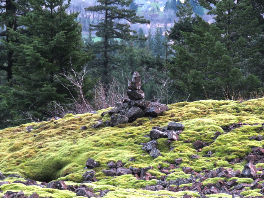
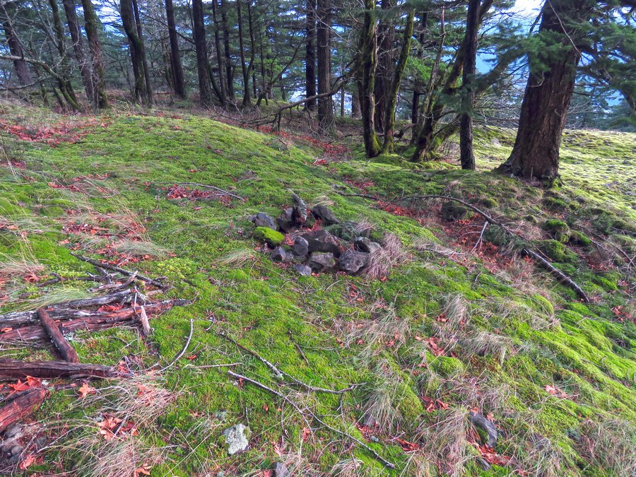
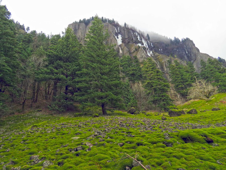
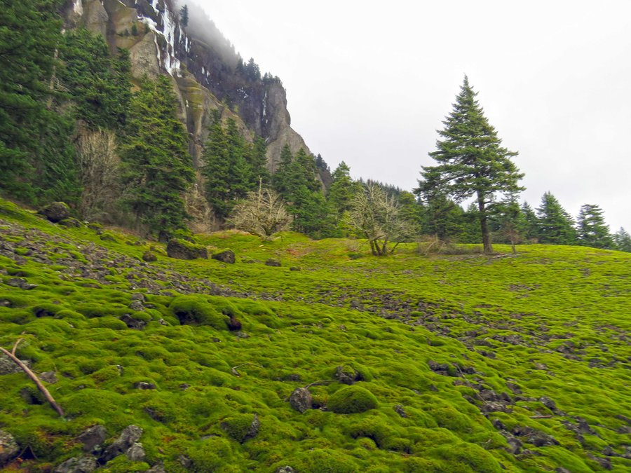
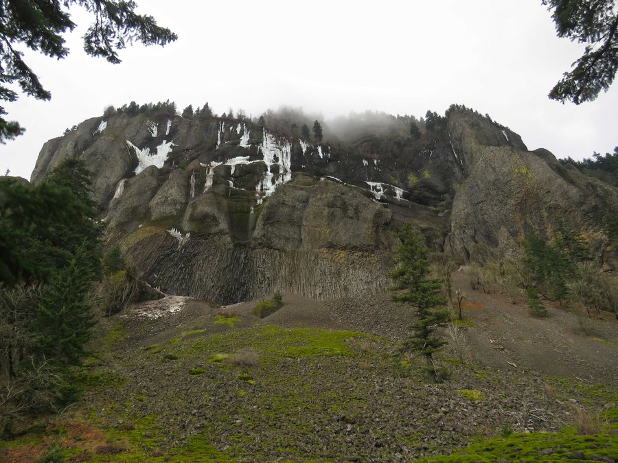
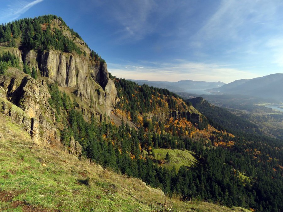
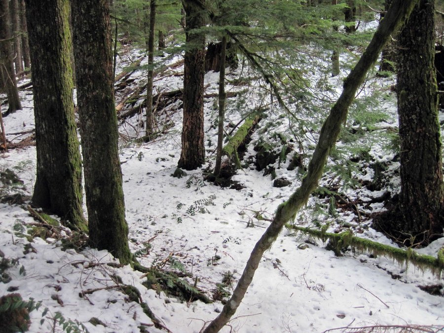
Explored the moss covered slopes south of the cliffs of Hamilton Mtn. Part of an east-side route to the summit?

December 6, 2014 5 miles 2,500 feet gained

Did a loop on Nesmith Ridge and Nesmith Pt Trail. Icy in places.

November 30, 2014 3.5 miles 500 feet gained

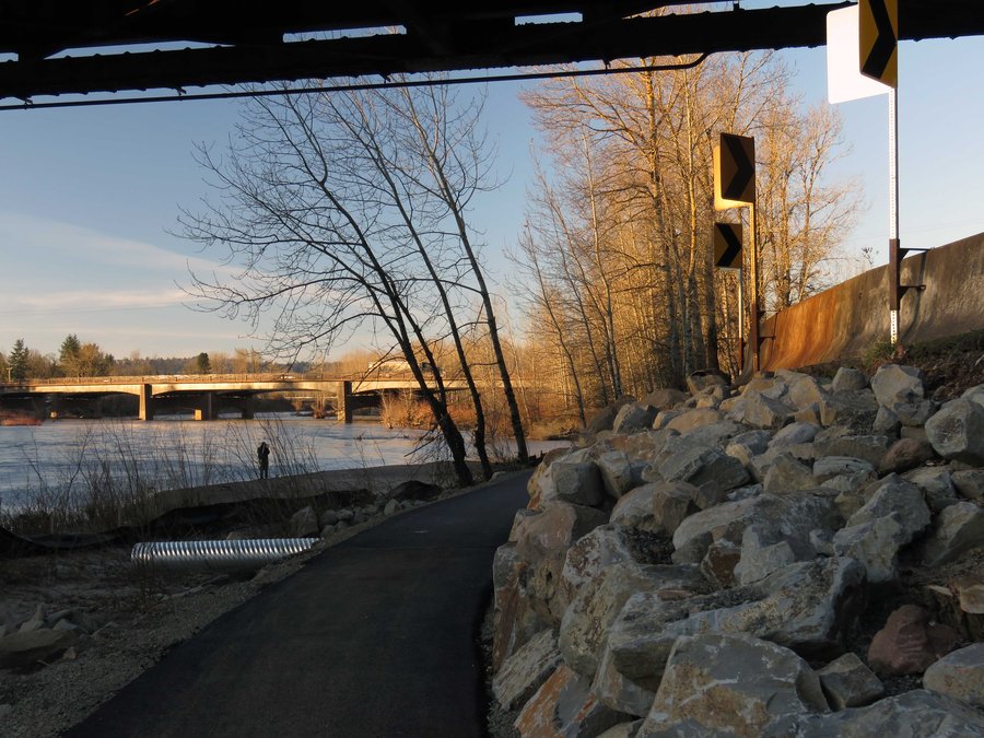
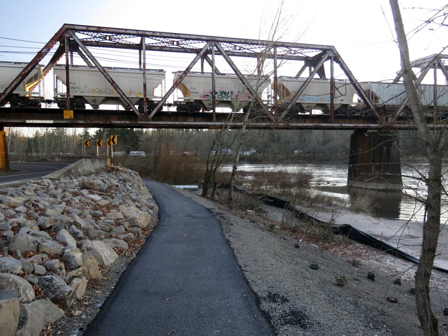
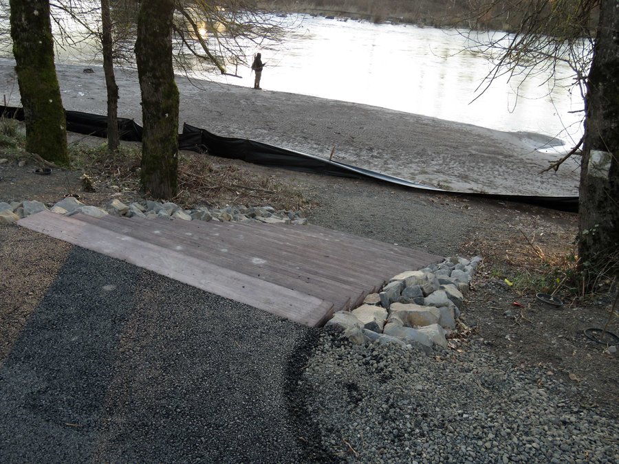
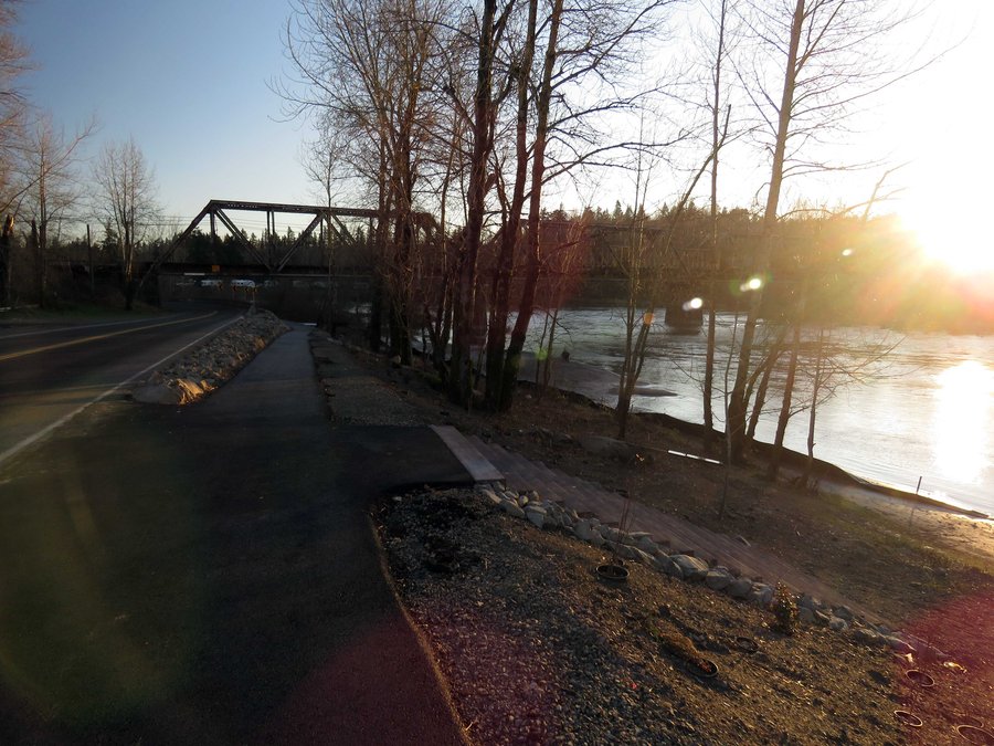
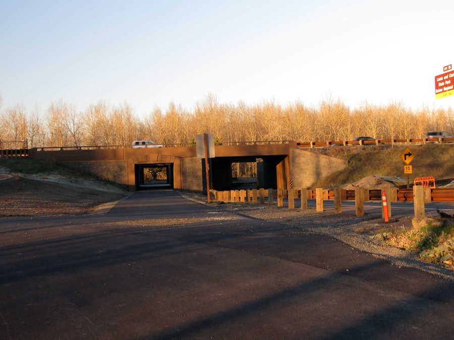
Did the scramble to the top of Broughton Bluffs up from Lewis & Clark Park that's next door to Troutdale - more challenging than you might think and nice views once there. Followed this by an exploration of the new multi-use path constructed along the Sandy and a look at the underside of the new bridge - room for countless transient camps and underage drinki...

November 29, 2014 7 miles 2,000 feet gained

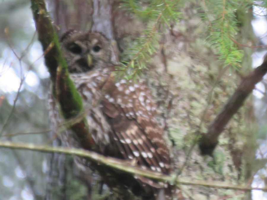
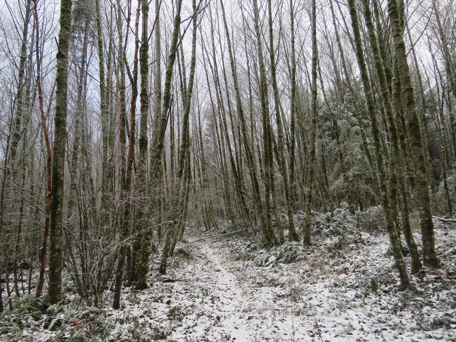
Hiked up Palmer Mill Rd to the trail that traverses the plateau to return via Angels Rest. Got snowed on. Saw an owl perched in a tree. Views from Angels Rest were good.
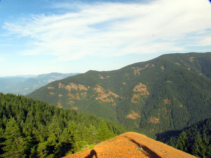
November 8, 2014 11 miles 3,000 feet gained

Hamilton Mtn then returned on some of the back roads and trails using a Don Nelsen map - with a little x-country to get back to the trailhead. Beautiful day, an early start beat the crowd but they were out in force when I returned.
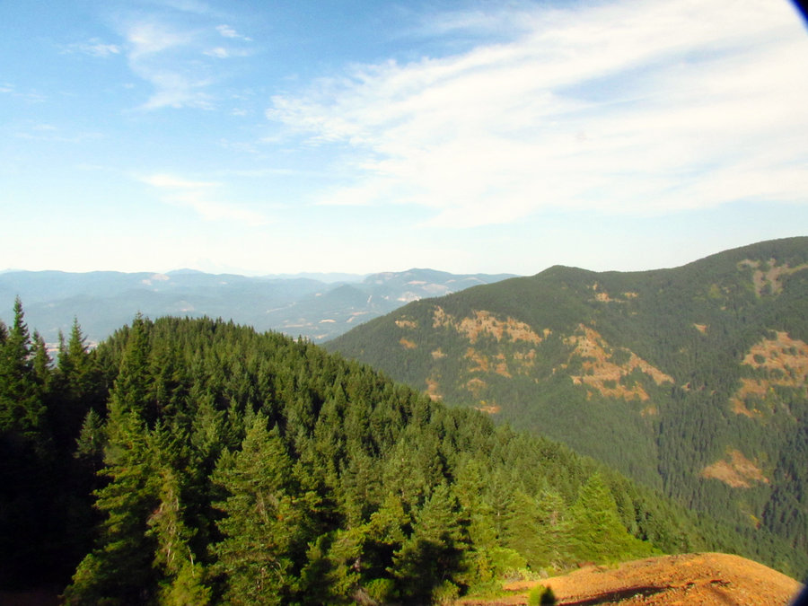
November 2, 2014 9 miles 3,000 feet gained

Soggy day - did Beacon Rock then hiked up Hamilton and took Don's Cutoff for the loop. Hamilton was socked in but I'd rather be on the trail, wet and cold than hanging out indoors.

October 12, 2014 9.5 miles 3,000 feet gained

Devils Rest exerciser loop starting from Wahkeena.

September 28, 2014 17 miles 4,750 feet gained

Parked a bike at Multnomah Lodge and drove over to Nesmith Pt TH. Hiked up Nesmith, traveled Horsetail Creek to Bell Creek to Oneonta to Franklin to Larch Mtn and back to the Lodge. Biked back to Nesmith Pt TH. Bell Creek has never been in better shape. Horsetail Creek was all logged out, great day on well maintained trails.

September 21, 2014 15 miles 4,250 feet gained

Exerciser up Rudolph Spur with a return across the Benson Way Trail to the PCT.

September 14, 2014 9 miles 4,000 feet gained

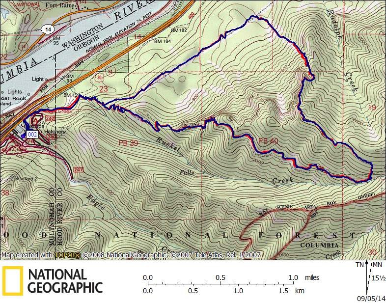
Fire near hwy 224 blocked my plans to explore trails in the Clack so I did an exerciser in the Gorge -> Ruckel Ridge is always good for a workout.

September 5, 2014 8 miles 3,750 feet gained

Found a nice gully to get up Rufus Ridge (the ridge to the west of Rudolph Spur). Nice unique views across to Table and Greenleaf and looking west down the Columbia.

August 31, 2014 7.8 miles 2,750 feet gained

Exerciser up Nick Eaton returned on Gorton Creek.

August 24, 2014 10 miles 2,500 feet gained

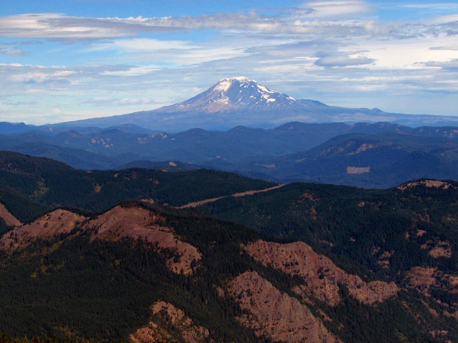
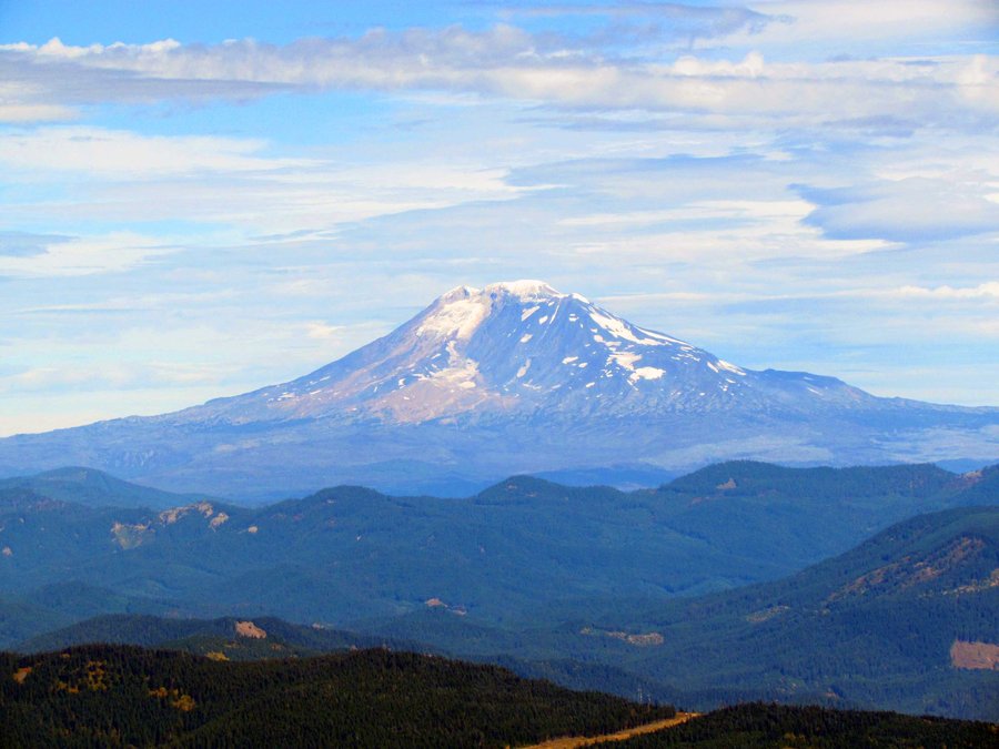
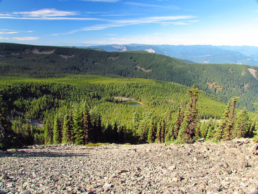
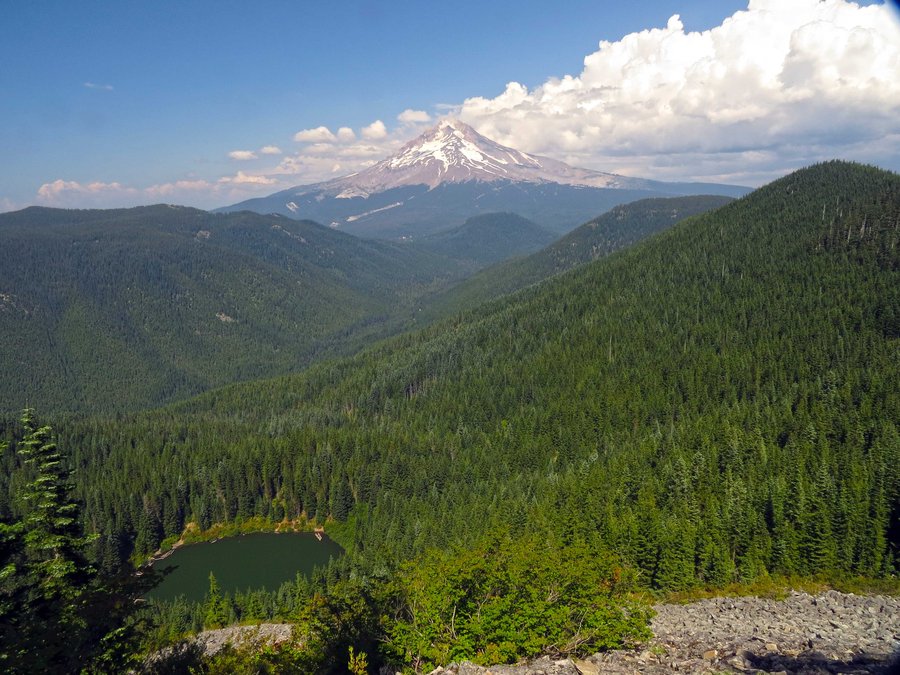
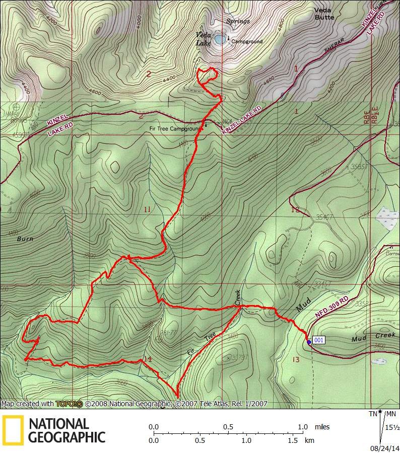
Marched up from the TH off the 2656-309 road near Mud Creek to the boulder field above Veda Lake for a photo shoot.Explored the slightly brushy Dry Lake Trail and the upper end of the Salmon River Trail. Nice day in the woods.

August 16, 2014 14 miles 4,250 feet gained

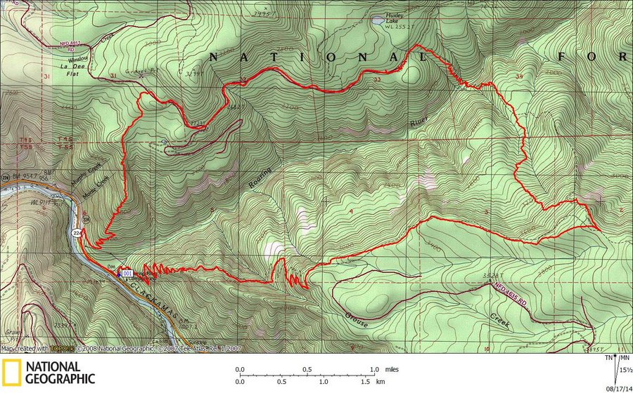
Annual maintenance on the little used section of the Grouse Point Trail from the intersection of Dry Ridge north to the 4611 Rd. West on the 4611 to catch the Sounds of Two Rivers Trail to complete the loop.

August 3, 2014 7.6 miles 3,000 feet gained

First time on Cool Creek Trail - will revisit as a bike 'n hike loop with other trails on Hunchback Mtn. Nice trail and does not mess around with long switchbacks. Good water about halfway up. Buffoons I passed at the junction with the short trail to the peak had left hot coals in a fire ring next to the lookout. I used what water I had to extinguish and dum...

July 14, 2014 4 miles 1,000 feet gained

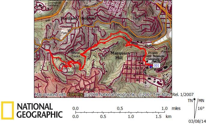
Exerciser from the work place -> down Conner Trail to Marquam Shelter then up to Council Crest and back.

July 12, 2014 4.5 miles 1,500 feet gained

Hiked up a ridge going south from the Angel's Rest trail head. Returned on Palmer Mill Rd. Hot.

July 6, 2014 9.5 miles 4,250 feet gained

From Gorge Classic Climbs a hike up a ridge west of Defiance Trail originating out of Lindsey Creek. Tough going to start following old logging roads covered with blowdown from a storm a couple of years ago. Once on the ridge the going is pretty good. Hooked up with Defiance Trail at around the 3800' level and went by Warren Lake to return on Starvation Ridg...

July 3, 2014 12 miles 4,000 feet gained

Hiked up Pansy Lake trail to the saddle then on up to top Pansy Mtn, across the connecting ridge to summit Motherload Mtn. Followed the ridge going east to visit a couple of the hidden lakes on the north side of the ridge. Down the hill to intersect Twin Lakes trail. Stopped off at the lookout and returned to the trail head via Dickey Lake trail. Mosquitoes ...

June 19, 2014 4.6 miles 1,000 feet gained

Visited Smith Rock for the first time, lots of people. Great views - took many photos.

June 7, 2014 12.5 miles 4,250 feet gained

Did some maintenance on Horsetail Creek trail from the trailhead on Yeon Mtn Rd to the intersection with ROA. Sawed 12-15, tossed another 12-15 - lots of smaller blowdown left to clear. Will take a couple more trips.

May 24, 2014 9 miles 4,000 feet gained

Off-trail hike up Shellrock Mtn, then the ridge south to the meadow on top - returned on Wyeth Trail.

May 22, 2014 4 miles 1,000 feet gained

Exerciser from the work place -> down Conner Trail to Marquam Shelter then up to Council Crest and back.

May 11, 2014 11 miles 3,000 feet gained

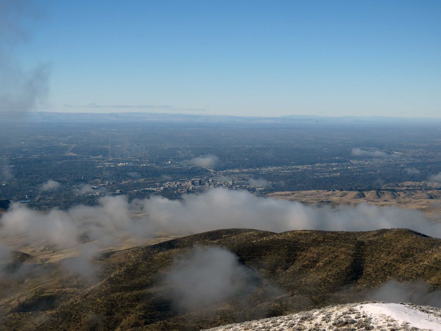
Hike up to Danskin Peak Lookout from the reservoir at the big turn in the road. Checking out fire damage from the Elk Creek Complex fire in 2013. All OHV trails are closed so no noisy, obnoxious ATVs, great day, ran into a couple of mtn bikers at the top. Danskin Peak is app 20 miles mostly north from Mtn Home ID.

May 2, 2014 4 miles 1,000 feet gained

Exerciser from the work place -> down Conner Trail to Marquam Shelter then up to Council Crest and back. All the big mtns were visible through the haze. I'm pretty burned out on hiking to Council Crest.

May 1, 2014 4 miles 1,000 feet gained

Exerciser from the work place -> down Conner Trail to Marquam Shelter then up to Council Crest and back. All the big mtns were visible. Trail is less muddy than yesterday. Very warm.

April 30, 2014 4 miles 1,000 feet gained

Exerciser from the work place -> down Conner Trail to Marquam Shelter then up to Council Crest and back. All the big mtns were visible. Trail is less muddy than yesterday. Warm.

April 29, 2014 4 miles 1,000 feet gained

Exerciser from the work place -> down Conner Trail to Marquam Shelter then up to Council Crest and back. All the big mtns were visible. Trail is less muddy than yesterday.

April 28, 2014 4 miles 1,000 feet gained

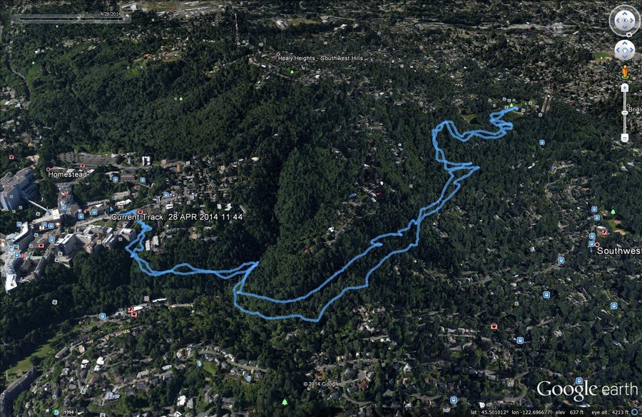
Exerciser from the work place -> down Conner Trail to Marquam Shelter then up to Council Crest and back. All the big mtns were buried under clouds. Trail is muddy. Will try to do this every day this week.

April 20, 2014 6.5 miles 2,500 feet gained

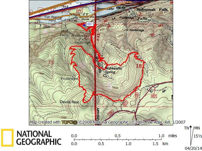
Took the Primrose Path to Devils Rest where I lost the trail in the usual place - in the brushy part below Devil's Rest. Not so bad this time as I went east and followed a boulder field below a cliff to get back on the flagged trail. Nice views from the boulder field. I'll try again going downhill.

April 12, 2014 11 miles 4,250 feet gained

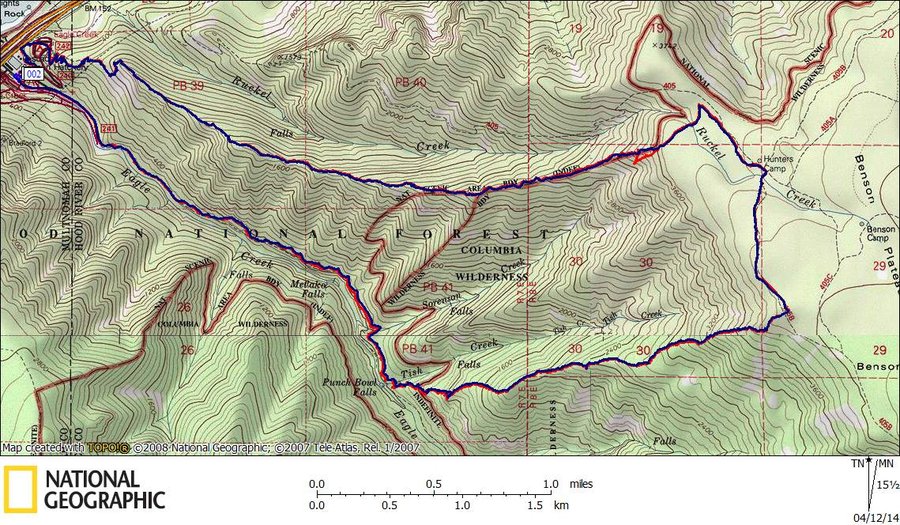
Hiked up the ridge south of Tish Creek to the Benson Plattoe - fun part was finding a route up from Eagle Creek Trail through cliff bands the rest was a Ruckel Ridge type adventure save for a bit of brush work and log-hopping around the 2500' mark. Found a really nice viewpoint just before topping out with a views from Hood to Larch Mtn. Descended on Ruckel ...

April 6, 2014 9.5 miles 4,000 feet gained

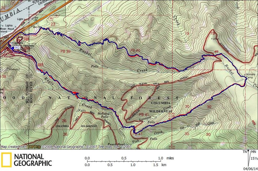
Looked for an anonymous ridge off Eagle Creek for some offtrail hiking and found one south of Sorenson Creek so I'm calling it Sorenson Ridge. A marvelous ridge, no brush, clear all the way up to the Benson Platter but I'll have to make another visit as there are views but today all openings were pretty much socked in. Gains 3200' in around 1.75 miles, unrel...

March 29, 2014 10 miles 3,250 feet gained

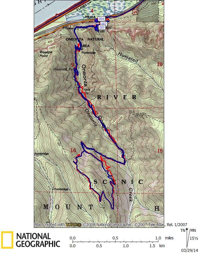
Tested new 64s Garmin GPS+GLONASS against a 62s GPS in a canyon - went up Oneonta Tr to Franklin Ridge starting from Horsetail Falls. Got rained on, lots. Results inconclusive.

March 22, 2014 7.5 miles 2,500 feet gained

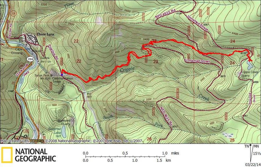
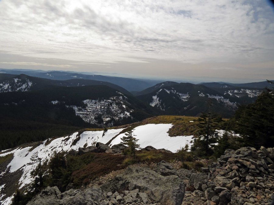
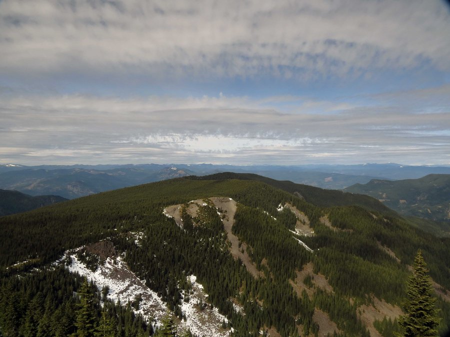
Had big plans to hike up Cripple Creek Trail to an overlook of Serene Lake, bailed out at the 4100' level just after the wilderness boundary.

March 15, 2014 11 miles 3,750 feet gained

Did a bike 'n hike to Tanner Butte. Traveled the 777 Rd by bike (channeled my inner Lance Armstrong for this part) to the Tanner Creek Trailhead. Along the Tanner Creek trail , I stopped to admire the trail work done by PHer Sean Thomas. Near the Moffett Creek Trail junction I went up an anonymous ridge to intersect the Tanner Butte Trail then on up to Tanne...

March 8, 2014 5 miles 1,000 feet gained

Had to work today so I took a break and took a hike, trails were muddy.

March 5, 2014 5.1 miles 1,000 feet gained

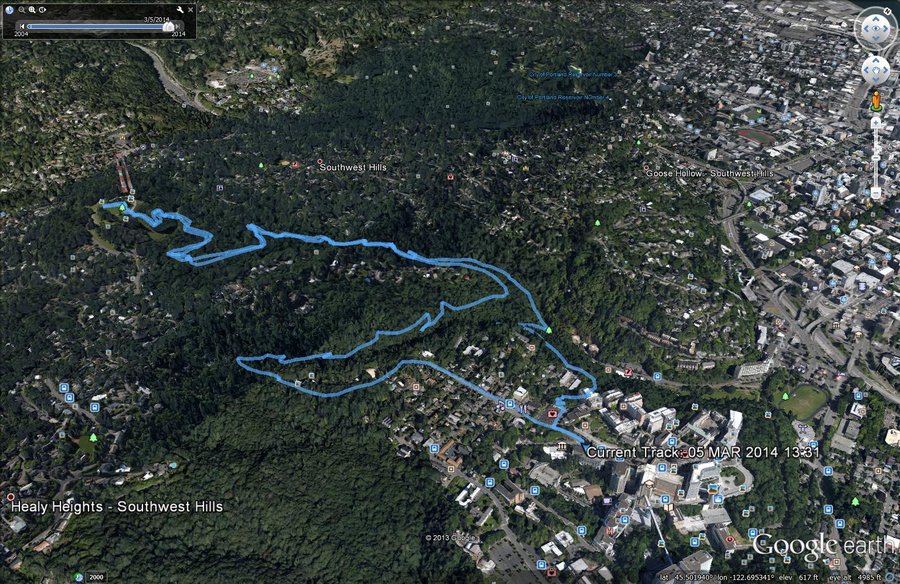
Hiked up to Council Crest from the work-20. Wet, very wet.

February 23, 2014 2.5 miles 750 feet gained

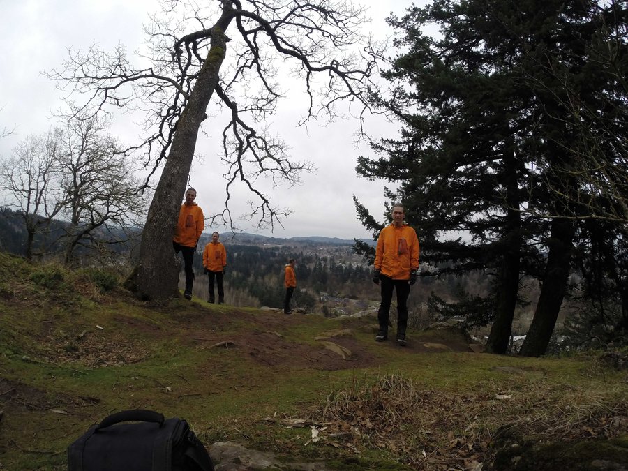
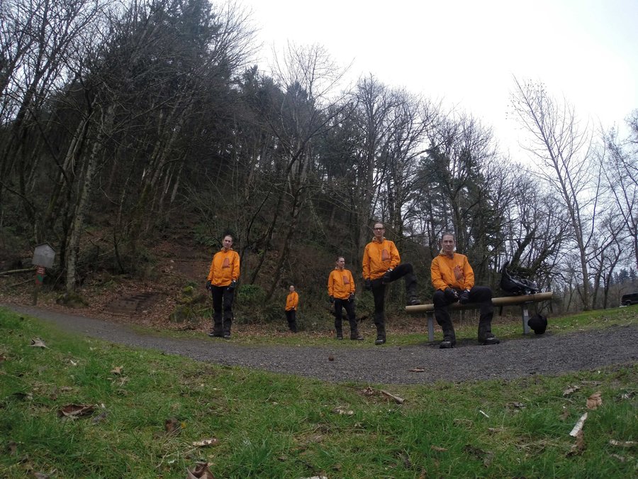
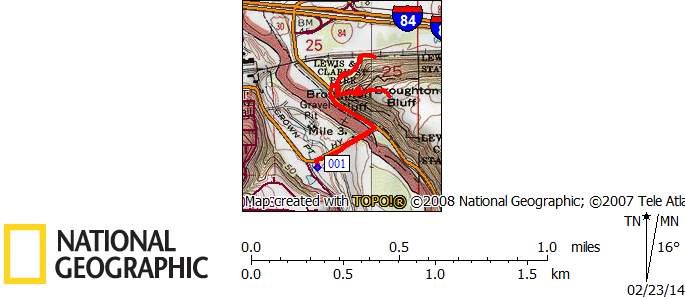
Did the scramble up Broughton Bluffs, twice as I wanted video but the first time the camera turned off on its own and I missed the shot - did a do-over for double the 400' EG. I hiked with a group - we all wore similar clothing.

February 22, 2014 9.5 miles 3,000 feet gained

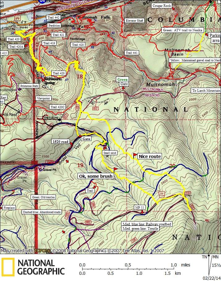
Today I explored a couple of routes looking for maximal elevation gain/shortest distance to Larch Mtn. Starting from Wahkeena I hiked up to Multnomah Basin Rd then followed a couple of ridges in a loop to see which one was the least brushy. Both ridges are nice but the one to the east had less brush and takes off almost from where the connector trail from Wa...