

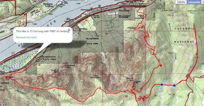
16 miles of hiking • 7000' elevation gain • 1 night
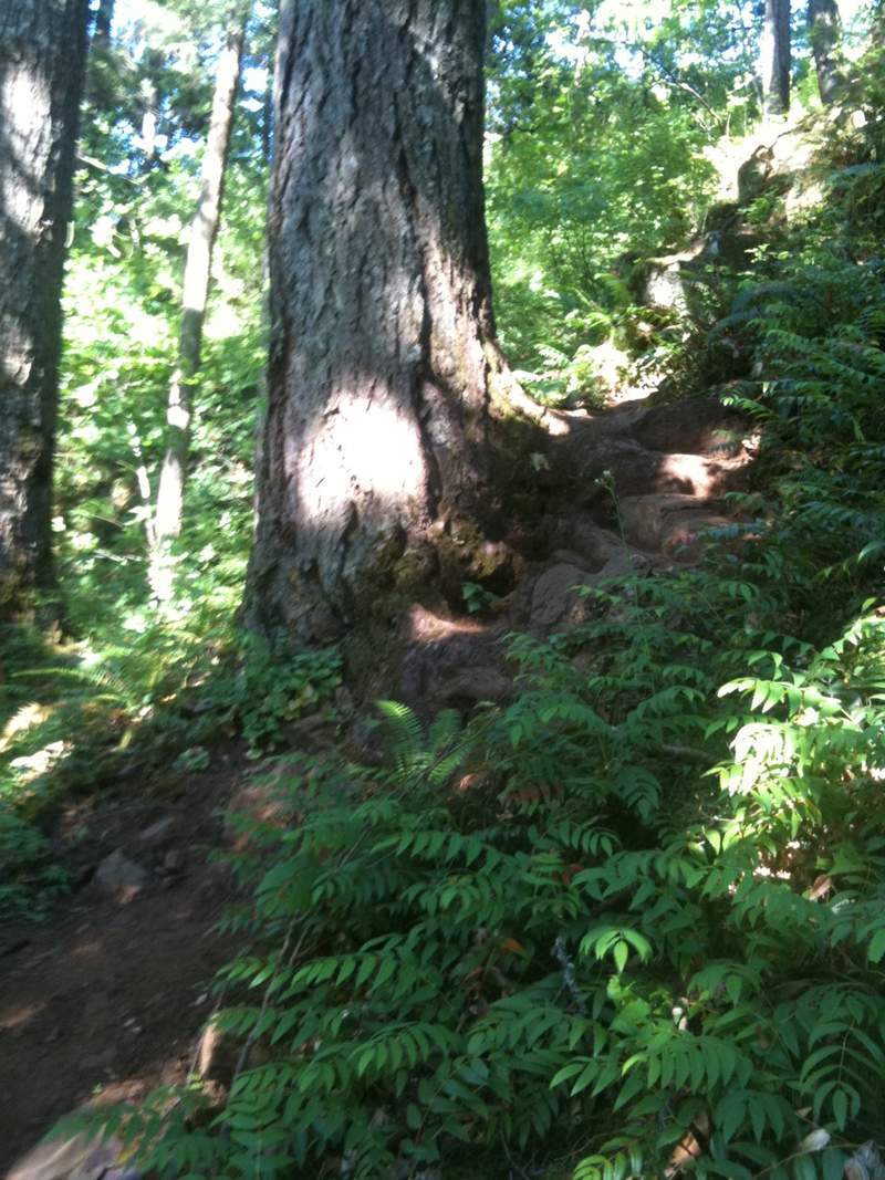
second attempt at rock of ages/nesmith point. hiked from ainsworth (safe parking) to just within view of ponytail falls. hiked up the rock of ages use trail. that trail is... insane. not only the steepest i've ever done in the gorge, but has a bit of poison oak scattered about right where it's hard to keep your balance.
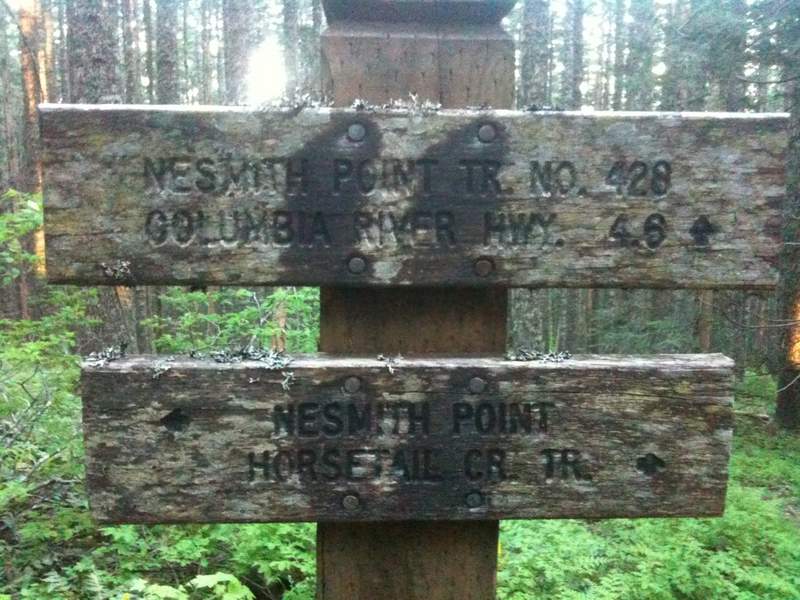
i hiked up towards the horsetail creek trail, and somehow totally missed how to find the actual rock of ages. where is it??
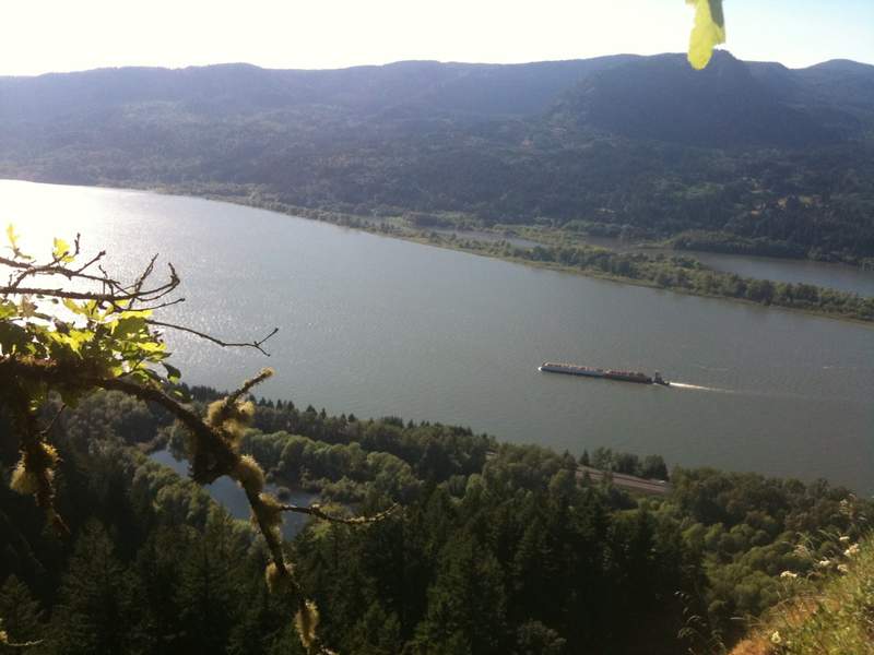
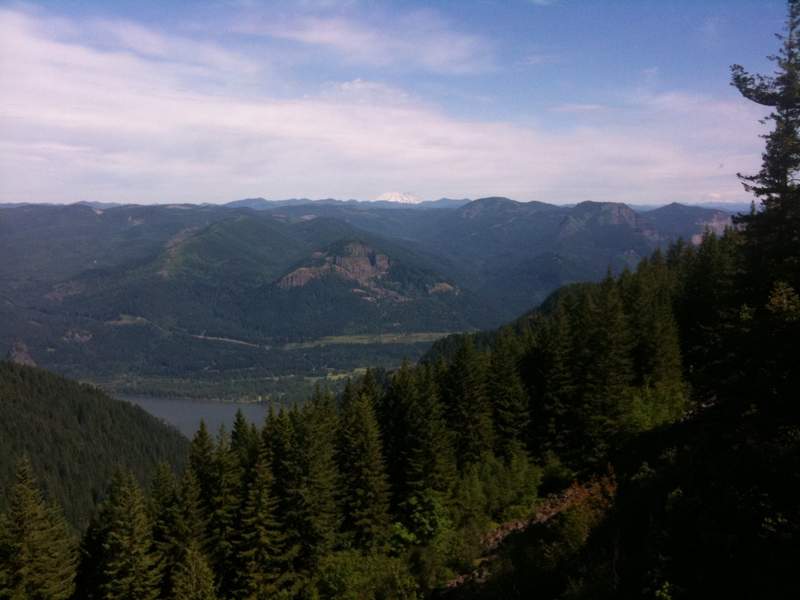
wauneka (wow-neka? wah-oo-neka?) trail i almost missed. the sign was on the ground burried in rhododendron. i propped it up as best i can, but it was right near where it should be on the map. the better viewpoints are the two high points you see on the topo. i couldn't really see anything from the point, but i might have missed it. the trail out there was kinda hard to follow at points.
i did some trail trimming with my lightweight shears between the two forks of the mccord creek.
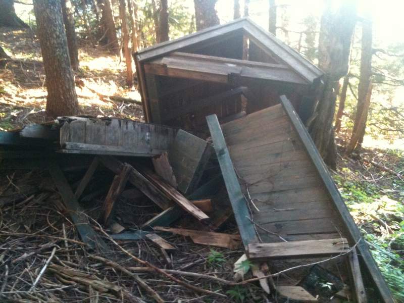
green is where i camped. blue is water. red dot is where i found two blue tarps, a burned YMCA sweatshirt and a ton of trash. i packed out the tarps, sweatshirt and as much trash as i could find.


Comments
:-) just replied to your PM on PH.org. maybe you didn't need to know about the "secret" mapping feature on here? i just mapped on mytopo from top of ROA trail to top of nesmith pt. it's 1.7 mi and 968' of climb. (according to google)
Bosterson
July 11, 2011
Thanks for the TR. Rock of Ages has been on my list for a while. Do you have any idea what the mileage/gain is from the top of the ROA trail (at the junction with the Horsetail Cr. Tr [?] and you can turn right and head back down to your car) up to Nesmith Point?