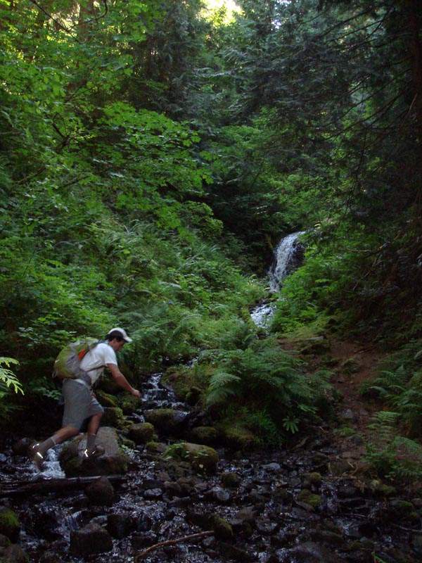
19 miles of hiking • 4750' elevation gain •
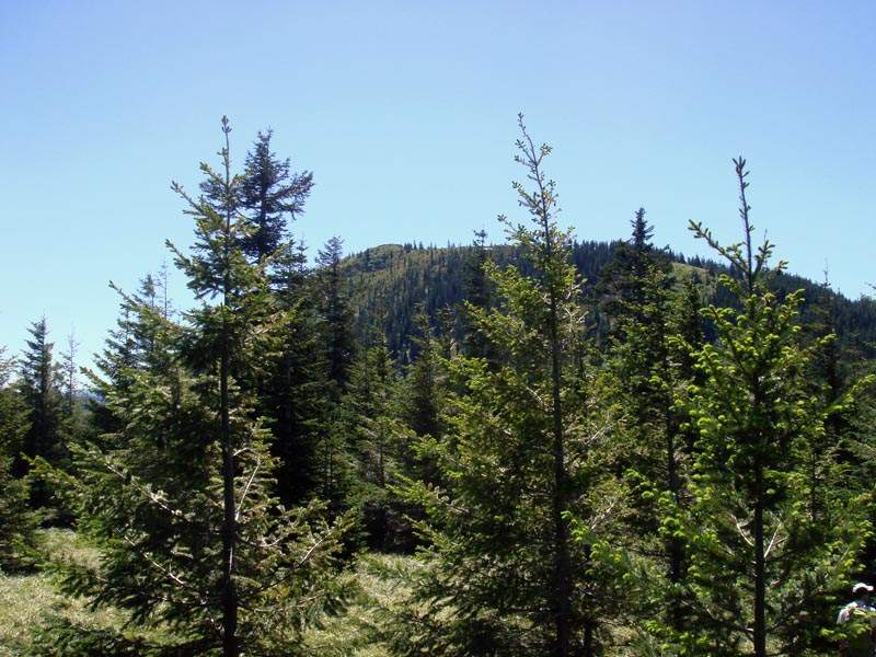
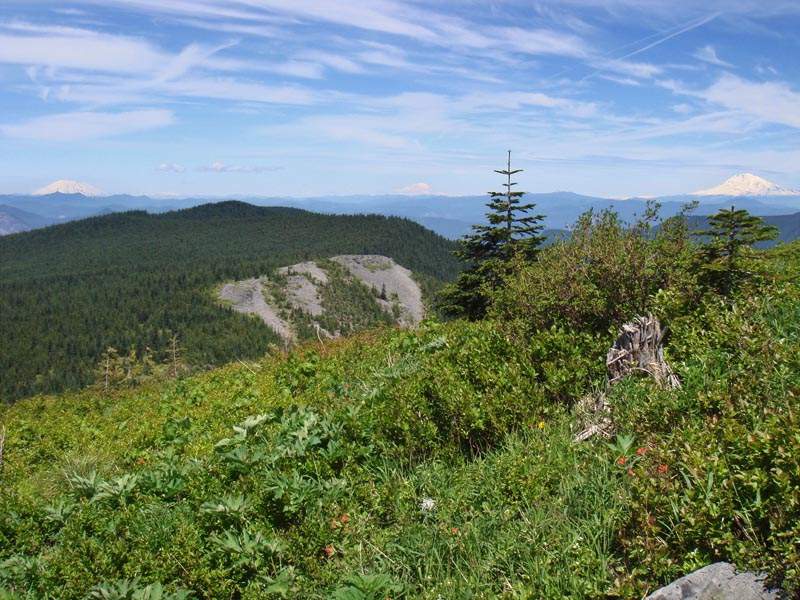
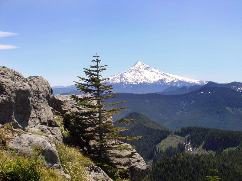
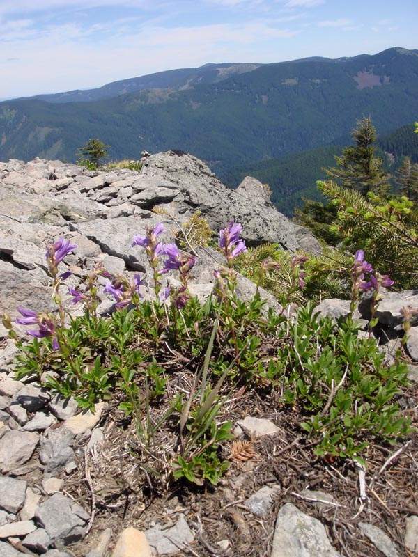
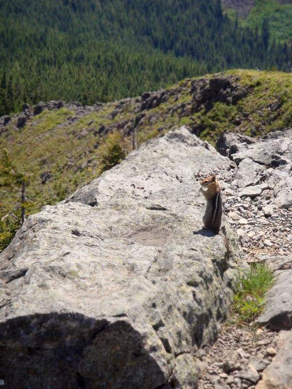
Started at Wahclella, up Gorge Trail 400 to Road 777, then to the Tanner trailhead. Up from there all the way to Tanner Butte. Overgrown at times towards the end, but NO SNOW!!! A recent GPS-enabled TR at PH pegged this at around 20 mi and 5000 ft, so I'm splitting the difference with that and the PH/NWH stats. A long dayhike, but not super steep cause it's so drawn out, and it's fairly flat from the Dublin Lake trail junction to the base of Tanner Butte (though the scramble trail to the summit is steep). Views absolutely magnificent - for my money, the best in the Gorge.