9.5 miles of hiking • 3000' elevation gain •
Hiked today from Tooth Rock trailhead to Tanner Ridge to about 3,200 elevation. It rained first 4 out of 5 hours of the hike, but this means having all trail to myself so it was good :)
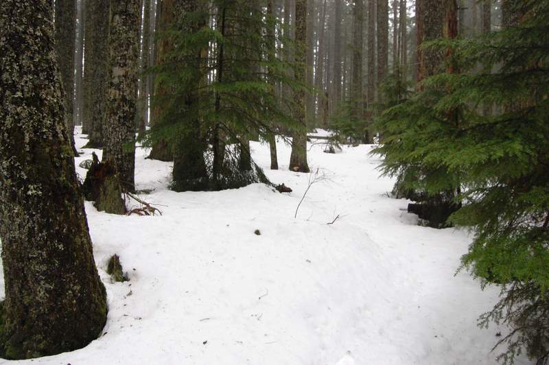
I took snowshoes but didn't use then at all - the snow started at about 2,900 feet (just above the junction with a small trail to Wauna Point). Snow wasn't more than 1 foot deep and was pretty firm.
Saw 1 really large group (like 30 people) a mile into the hike. Maybe Friends-of-the-Gorge-led hike? After that saw nobody except one deer.
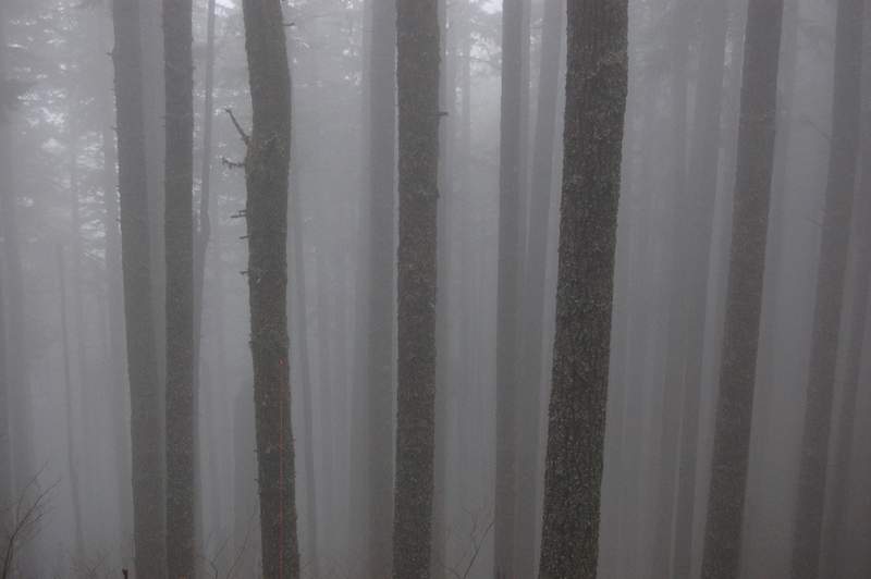
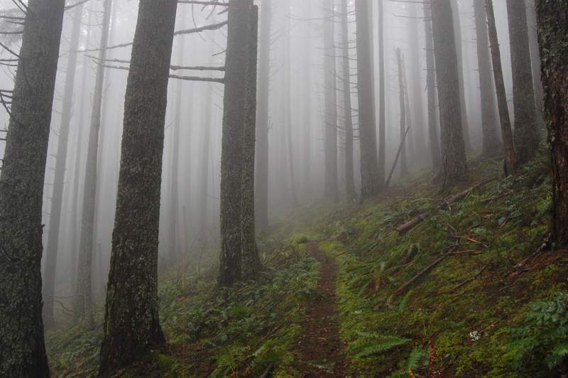
Ended up hiking up and down on different trails. When I went up, I started on a paved road along I-84 east, then took a small trail uphill which begins where you see a sign "Exit 41 - 1 mile" on a freeway. Took the next trail right which brought me to a closed forest road, which led to Tanner Butte old trailhead in just over a mile. This is a better way (Sullivan book has a good map). From there, it was another hour and half of a good uphill, first along and across two streams, then across a powerline and up in dense forest in fog which allowed for interesting pictures.
On the way down, I left the road a bit earlier and took another road west (which is Gorge Trail 400). It soon began looking like a trail, but man - who planned this trail? It went in 1/2 mile long switchbacks without losing elevation much at all. I wanted to do off-trail because it took so long to lose mere 400 feet. Also, it was a muddy trail. From now on, I will either use the approach trail I took on the way uphill, or park at Eagle Creek trailhead.
It was good to finally get outside and have some fun.