

6.4 miles of hiking • 2000' elevation gain •
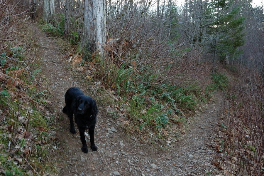
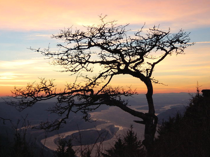
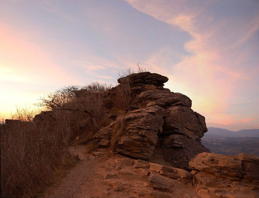
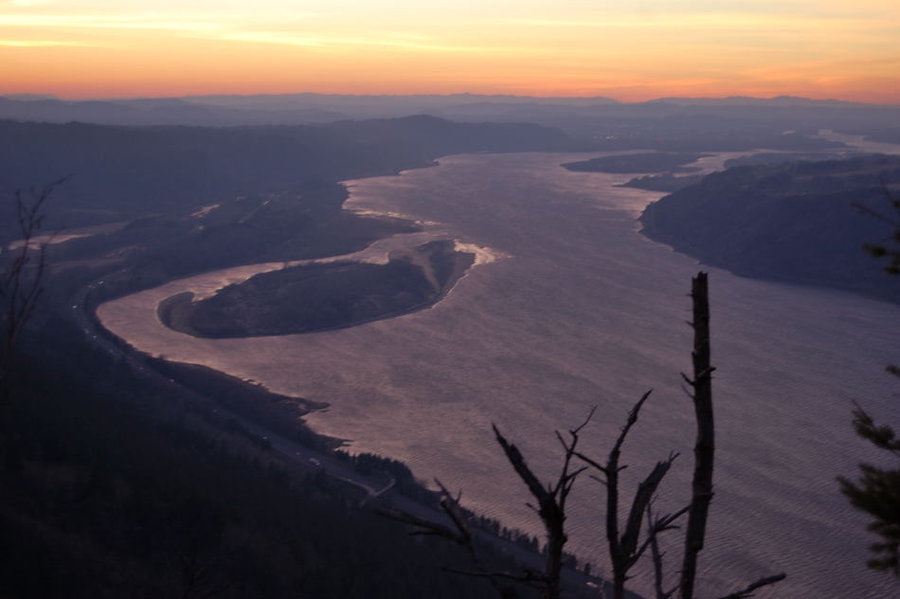
Went to Angels Rest and then up to old Foxglove trail, then looped back on Angels Rest trail. On the way down went over backside trail off Angels Rest, very steep but short (first time for Pepper). The wind on top was so strong at times, it was impossible to stand! Post-sunset colors were awesome though.
P.S. I don't know how my GPS picked up 2500' in elevation, it looks close to 2000-2100'.


Comments

Karl
November 24, 2013
P.S. Assuming it uses barometric smoothing, the extreme winds probably made your GPS register a lot more "spikey" track than usual, adding to the EG. Mine did that at Coyote Wall earlier this year.
Roman
November 24, 2013
Thanks Karl. I took this picture while hiding behind a rock, waiting for wind gust to pass. Once on top another gust almost knocked me over (Pepper did better) so we headed through brushy trail on more sheltered west side. I now remember your post about GPS picking up elevation because of wind... now it makes perfect sense.
Karl
November 24, 2013
Great twilight shots! Really like #5. I was actually hoping for the high winds on Larch, but there were only right there at the lip of the Gorge, hitting hard when I started back down the paved MF trail.